National Pike NE, Flintstone, MD アメリカ合衆国日の出日の入り時間
Location: アメリカ合衆国 > メリーランド州 > アリゲイニー > オーリンズ >
時間帯:
America/New_York
現地時間:
2024-05-17 23:08:21
経度:
-78.341432
緯度:
39.708367
今日の日の出時刻:
05:55:19 AM
今日の日の入時刻:
08:24:22 PM
今日の日長:
14h 29m 3s
明日の日の出時刻:
05:54:32 AM
明日の日の入時刻:
08:25:16 PM
明日の日長:
14h 30m 44s
すべて表示する
| 日付 | 日出 | 日没 | 日長 |
|---|---|---|---|
| 2024年01月01日 | 07:34:18 AM | 04:59:57 PM | 9h 25m 39s |
| 2024年01月02日 | 07:34:23 AM | 05:00:48 PM | 9h 26m 25s |
| 2024年01月03日 | 07:34:26 AM | 05:01:39 PM | 9h 27m 13s |
| 2024年01月04日 | 07:34:27 AM | 05:02:33 PM | 9h 28m 6s |
| 2024年01月05日 | 07:34:26 AM | 05:03:27 PM | 9h 29m 1s |
| 2024年01月06日 | 07:34:23 AM | 05:04:23 PM | 9h 30m 0s |
| 2024年01月07日 | 07:34:17 AM | 05:05:21 PM | 9h 31m 4s |
| 2024年01月08日 | 07:34:09 AM | 05:06:19 PM | 9h 32m 10s |
| 2024年01月09日 | 07:33:59 AM | 05:07:19 PM | 9h 33m 20s |
| 2024年01月10日 | 07:33:47 AM | 05:08:19 PM | 9h 34m 32s |
| 2024年01月11日 | 07:33:33 AM | 05:09:21 PM | 9h 35m 48s |
| 2024年01月12日 | 07:33:16 AM | 05:10:23 PM | 9h 37m 7s |
| 2024年01月13日 | 07:32:57 AM | 05:11:27 PM | 9h 38m 30s |
| 2024年01月14日 | 07:32:36 AM | 05:12:31 PM | 9h 39m 55s |
| 2024年01月15日 | 07:32:13 AM | 05:13:36 PM | 9h 41m 23s |
| 2024年01月16日 | 07:31:48 AM | 05:14:42 PM | 9h 42m 54s |
| 2024年01月17日 | 07:31:21 AM | 05:15:49 PM | 9h 44m 28s |
| 2024年01月18日 | 07:30:52 AM | 05:16:56 PM | 9h 46m 4s |
| 2024年01月19日 | 07:30:20 AM | 05:18:04 PM | 9h 47m 44s |
| 2024年01月20日 | 07:29:47 AM | 05:19:12 PM | 9h 49m 25s |
| 2024年01月21日 | 07:29:12 AM | 05:20:21 PM | 9h 51m 9s |
| 2024年01月22日 | 07:28:34 AM | 05:21:30 PM | 9h 52m 56s |
| 2024年01月23日 | 07:27:55 AM | 05:22:40 PM | 9h 54m 45s |
| 2024年01月24日 | 07:27:14 AM | 05:23:50 PM | 9h 56m 36s |
| 2024年01月25日 | 07:26:30 AM | 05:25:00 PM | 9h 58m 30s |
| 2024年01月26日 | 07:25:45 AM | 05:26:11 PM | 10h 0m 26s |
| 2024年01月27日 | 07:24:58 AM | 05:27:22 PM | 10h 2m 24s |
| 2024年01月28日 | 07:24:10 AM | 05:28:33 PM | 10h 4m 23s |
| 2024年01月29日 | 07:23:19 AM | 05:29:44 PM | 10h 6m 25s |
| 2024年01月30日 | 07:22:27 AM | 05:30:56 PM | 10h 8m 29s |
| 2024年01月31日 | 07:21:33 AM | 05:32:07 PM | 10h 10m 34s |
| 2024年02月01日 | 07:20:37 AM | 05:33:19 PM | 10h 12m 42s |
| 2024年02月02日 | 07:19:40 AM | 05:34:30 PM | 10h 14m 50s |
| 2024年02月03日 | 07:18:41 AM | 05:35:42 PM | 10h 17m 1s |
| 2024年02月04日 | 07:17:41 AM | 05:36:53 PM | 10h 19m 12s |
| 2024年02月05日 | 07:16:39 AM | 05:38:05 PM | 10h 21m 26s |
| 2024年02月06日 | 07:15:35 AM | 05:39:16 PM | 10h 23m 41s |
| 2024年02月07日 | 07:14:30 AM | 05:40:27 PM | 10h 25m 57s |
| 2024年02月08日 | 07:13:24 AM | 05:41:38 PM | 10h 28m 14s |
| 2024年02月09日 | 07:12:16 AM | 05:42:49 PM | 10h 30m 33s |
| 2024年02月10日 | 07:11:06 AM | 05:44:00 PM | 10h 32m 54s |
| 2024年02月11日 | 07:09:56 AM | 05:45:11 PM | 10h 35m 15s |
| 2024年02月12日 | 07:08:44 AM | 05:46:21 PM | 10h 37m 37s |
| 2024年02月13日 | 07:07:31 AM | 05:47:31 PM | 10h 40m 0s |
| 2024年02月14日 | 07:06:16 AM | 05:48:41 PM | 10h 42m 25s |
| 2024年02月15日 | 07:05:01 AM | 05:49:51 PM | 10h 44m 50s |
| 2024年02月16日 | 07:03:44 AM | 05:51:00 PM | 10h 47m 16s |
| 2024年02月17日 | 07:02:26 AM | 05:52:09 PM | 10h 49m 43s |
| 2024年02月18日 | 07:01:07 AM | 05:53:18 PM | 10h 52m 11s |
| 2024年02月19日 | 06:59:47 AM | 05:54:27 PM | 10h 54m 40s |
| 2024年02月20日 | 06:58:25 AM | 05:55:35 PM | 10h 57m 10s |
| 2024年02月21日 | 06:57:03 AM | 05:56:43 PM | 10h 59m 40s |
| 2024年02月22日 | 06:55:40 AM | 05:57:51 PM | 11h 2m 11s |
| 2024年02月23日 | 06:54:16 AM | 05:58:58 PM | 11h 4m 42s |
| 2024年02月24日 | 06:52:51 AM | 06:00:05 PM | 11h 7m 14s |
| 2024年02月25日 | 06:51:26 AM | 06:01:12 PM | 11h 9m 46s |
| 2024年02月26日 | 06:49:59 AM | 06:02:18 PM | 11h 12m 19s |
| 2024年02月27日 | 06:48:32 AM | 06:03:24 PM | 11h 14m 52s |
| 2024年02月28日 | 06:47:03 AM | 06:04:30 PM | 11h 17m 27s |
| 2024年02月29日 | 06:45:35 AM | 06:05:36 PM | 11h 20m 1s |
| 2024年03月01日 | 06:44:05 AM | 06:06:41 PM | 11h 22m 36s |
| 2024年03月02日 | 06:42:35 AM | 06:07:46 PM | 11h 25m 11s |
| 2024年03月03日 | 06:41:04 AM | 06:08:50 PM | 11h 27m 46s |
| 2024年03月04日 | 06:39:33 AM | 06:09:55 PM | 11h 30m 22s |
| 2024年03月05日 | 06:38:01 AM | 06:10:59 PM | 11h 32m 58s |
| 2024年03月06日 | 06:36:28 AM | 06:12:03 PM | 11h 35m 35s |
| 2024年03月07日 | 06:34:55 AM | 06:13:06 PM | 11h 38m 11s |
| 2024年03月08日 | 06:33:22 AM | 06:14:09 PM | 11h 40m 47s |
| 2024年03月09日 | 06:31:48 AM | 06:15:12 PM | 11h 43m 24s |
| 2024年03月10日 | 07:30:17 AM | 07:16:13 PM | 11h 45m 56s |
| 2024年03月11日 | 07:28:43 AM | 07:17:15 PM | 11h 48m 32s |
| 2024年03月12日 | 07:27:08 AM | 07:18:18 PM | 11h 51m 10s |
| 2024年03月13日 | 07:25:33 AM | 07:19:20 PM | 11h 53m 47s |
| 2024年03月14日 | 07:23:57 AM | 07:20:22 PM | 11h 56m 25s |
| 2024年03月15日 | 07:22:21 AM | 07:21:23 PM | 11h 59m 2s |
| 2024年03月16日 | 07:20:45 AM | 07:22:25 PM | 12h 1m 40s |
| 2024年03月17日 | 07:19:09 AM | 07:23:26 PM | 12h 4m 17s |
| 2024年03月18日 | 07:17:33 AM | 07:24:27 PM | 12h 6m 54s |
| 2024年03月19日 | 07:15:56 AM | 07:25:29 PM | 12h 9m 33s |
| 2024年03月20日 | 07:14:20 AM | 07:26:29 PM | 12h 12m 9s |
| 2024年03月21日 | 07:12:43 AM | 07:27:30 PM | 12h 14m 47s |
| 2024年03月22日 | 07:11:06 AM | 07:28:31 PM | 12h 17m 25s |
| 2024年03月23日 | 07:09:30 AM | 07:29:31 PM | 12h 20m 1s |
| 2024年03月24日 | 07:07:53 AM | 07:30:32 PM | 12h 22m 39s |
| 2024年03月25日 | 07:06:16 AM | 07:31:32 PM | 12h 25m 16s |
| 2024年03月26日 | 07:04:40 AM | 07:32:32 PM | 12h 27m 52s |
| 2024年03月27日 | 07:03:04 AM | 07:33:33 PM | 12h 30m 29s |
| 2024年03月28日 | 07:01:27 AM | 07:34:33 PM | 12h 33m 6s |
| 2024年03月29日 | 06:59:51 AM | 07:35:33 PM | 12h 35m 42s |
| 2024年03月30日 | 06:58:15 AM | 07:36:33 PM | 12h 38m 18s |
| 2024年03月31日 | 06:56:40 AM | 07:37:33 PM | 12h 40m 53s |
| 2024年04月01日 | 06:55:05 AM | 07:38:33 PM | 12h 43m 28s |
| 2024年04月02日 | 06:53:30 AM | 07:39:33 PM | 12h 46m 3s |
| 2024年04月03日 | 06:51:55 AM | 07:40:33 PM | 12h 48m 38s |
| 2024年04月04日 | 06:50:21 AM | 07:41:33 PM | 12h 51m 12s |
| 2024年04月05日 | 06:48:47 AM | 07:42:33 PM | 12h 53m 46s |
| 2024年04月06日 | 06:47:13 AM | 07:43:32 PM | 12h 56m 19s |
| 2024年04月07日 | 06:45:40 AM | 07:44:32 PM | 12h 58m 52s |
| 2024年04月08日 | 06:44:07 AM | 07:45:32 PM | 13h 1m 25s |
| 2024年04月09日 | 06:42:35 AM | 07:46:32 PM | 13h 3m 57s |
| 2024年04月10日 | 06:41:04 AM | 07:47:32 PM | 13h 6m 28s |
| 2024年04月11日 | 06:39:33 AM | 07:48:32 PM | 13h 8m 59s |
| 2024年04月12日 | 06:38:03 AM | 07:49:32 PM | 13h 11m 29s |
| 2024年04月13日 | 06:36:33 AM | 07:50:32 PM | 13h 13m 59s |
| 2024年04月14日 | 06:35:04 AM | 07:51:33 PM | 13h 16m 29s |
| 2024年04月15日 | 06:33:36 AM | 07:52:33 PM | 13h 18m 57s |
| 2024年04月16日 | 06:32:08 AM | 07:53:33 PM | 13h 21m 25s |
| 2024年04月17日 | 06:30:41 AM | 07:54:33 PM | 13h 23m 52s |
| 2024年04月18日 | 06:29:15 AM | 07:55:33 PM | 13h 26m 18s |
| 2024年04月19日 | 06:27:50 AM | 07:56:33 PM | 13h 28m 43s |
| 2024年04月20日 | 06:26:26 AM | 07:57:34 PM | 13h 31m 8s |
| 2024年04月21日 | 06:25:02 AM | 07:58:34 PM | 13h 33m 32s |
| 2024年04月22日 | 06:23:39 AM | 07:59:34 PM | 13h 35m 55s |
| 2024年04月23日 | 06:22:18 AM | 08:00:34 PM | 13h 38m 16s |
| 2024年04月24日 | 06:20:57 AM | 08:01:34 PM | 13h 40m 37s |
| 2024年04月25日 | 06:19:38 AM | 08:02:35 PM | 13h 42m 57s |
| 2024年04月26日 | 06:18:19 AM | 08:03:35 PM | 13h 45m 16s |
| 2024年04月27日 | 06:17:02 AM | 08:04:35 PM | 13h 47m 33s |
| 2024年04月28日 | 06:15:45 AM | 08:05:35 PM | 13h 49m 50s |
| 2024年04月29日 | 06:14:30 AM | 08:06:35 PM | 13h 52m 5s |
| 2024年04月30日 | 06:13:16 AM | 08:07:34 PM | 13h 54m 18s |
| 2024年05月01日 | 06:12:03 AM | 08:08:34 PM | 13h 56m 31s |
| 2024年05月02日 | 06:10:51 AM | 08:09:34 PM | 13h 58m 43s |
| 2024年05月03日 | 06:09:41 AM | 08:10:33 PM | 14h 0m 52s |
| 2024年05月04日 | 06:08:32 AM | 08:11:32 PM | 14h 3m 0s |
| 2024年05月05日 | 06:07:24 AM | 08:12:31 PM | 14h 5m 7s |
| 2024年05月06日 | 06:06:17 AM | 08:13:30 PM | 14h 7m 13s |
| 2024年05月07日 | 06:05:12 AM | 08:14:29 PM | 14h 9m 17s |
| 2024年05月08日 | 06:04:09 AM | 08:15:27 PM | 14h 11m 18s |
| 2024年05月09日 | 06:03:06 AM | 08:16:25 PM | 14h 13m 19s |
| 2024年05月10日 | 06:02:06 AM | 08:17:23 PM | 14h 15m 17s |
| 2024年05月11日 | 06:01:06 AM | 08:18:20 PM | 14h 17m 14s |
| 2024年05月12日 | 06:00:09 AM | 08:19:17 PM | 14h 19m 8s |
| 2024年05月13日 | 05:59:12 AM | 08:20:13 PM | 14h 21m 1s |
| 2024年05月14日 | 05:58:18 AM | 08:21:10 PM | 14h 22m 52s |
| 2024年05月15日 | 05:57:25 AM | 08:22:05 PM | 14h 24m 40s |
| 2024年05月16日 | 05:56:33 AM | 08:23:00 PM | 14h 26m 27s |
| 2024年05月17日 | 05:55:44 AM | 08:23:55 PM | 14h 28m 11s |
| 2024年05月18日 | 05:54:55 AM | 08:24:49 PM | 14h 29m 54s |
| 2024年05月19日 | 05:54:09 AM | 08:25:42 PM | 14h 31m 33s |
| 2024年05月20日 | 05:53:24 AM | 08:26:35 PM | 14h 33m 11s |
| 2024年05月21日 | 05:52:42 AM | 08:27:27 PM | 14h 34m 45s |
| 2024年05月22日 | 05:52:00 AM | 08:28:18 PM | 14h 36m 18s |
| 2024年05月23日 | 05:51:21 AM | 08:29:09 PM | 14h 37m 48s |
| 2024年05月24日 | 05:50:43 AM | 08:29:59 PM | 14h 39m 16s |
| 2024年05月25日 | 05:50:08 AM | 08:30:48 PM | 14h 40m 40s |
| 2024年05月26日 | 05:49:34 AM | 08:31:36 PM | 14h 42m 2s |
| 2024年05月27日 | 05:49:02 AM | 08:32:23 PM | 14h 43m 21s |
| 2024年05月28日 | 05:48:32 AM | 08:33:09 PM | 14h 44m 37s |
| 2024年05月29日 | 05:48:03 AM | 08:33:54 PM | 14h 45m 51s |
| 2024年05月30日 | 05:47:37 AM | 08:34:38 PM | 14h 47m 1s |
| 2024年05月31日 | 05:47:12 AM | 08:35:21 PM | 14h 48m 9s |
| 2024年06月01日 | 05:46:50 AM | 08:36:03 PM | 14h 49m 13s |
| 2024年06月02日 | 05:46:29 AM | 08:36:43 PM | 14h 50m 14s |
| 2024年06月03日 | 05:46:10 AM | 08:37:23 PM | 14h 51m 13s |
| 2024年06月04日 | 05:45:53 AM | 08:38:01 PM | 14h 52m 8s |
| 2024年06月05日 | 05:45:39 AM | 08:38:38 PM | 14h 52m 59s |
| 2024年06月06日 | 05:45:26 AM | 08:39:13 PM | 14h 53m 47s |
| 2024年06月07日 | 05:45:15 AM | 08:39:47 PM | 14h 54m 32s |
| 2024年06月08日 | 05:45:05 AM | 08:40:20 PM | 14h 55m 15s |
| 2024年06月09日 | 05:44:58 AM | 08:40:51 PM | 14h 55m 53s |
| 2024年06月10日 | 05:44:53 AM | 08:41:21 PM | 14h 56m 28s |
| 2024年06月11日 | 05:44:49 AM | 08:41:49 PM | 14h 57m 0s |
| 2024年06月12日 | 05:44:48 AM | 08:42:16 PM | 14h 57m 28s |
| 2024年06月13日 | 05:44:48 AM | 08:42:41 PM | 14h 57m 53s |
| 2024年06月14日 | 05:44:51 AM | 08:43:04 PM | 14h 58m 13s |
| 2024年06月15日 | 05:44:55 AM | 08:43:26 PM | 14h 58m 31s |
| 2024年06月16日 | 05:45:01 AM | 08:43:46 PM | 14h 58m 45s |
| 2024年06月17日 | 05:45:08 AM | 08:44:05 PM | 14h 58m 57s |
| 2024年06月18日 | 05:45:18 AM | 08:44:21 PM | 14h 59m 3s |
| 2024年06月19日 | 05:45:29 AM | 08:44:36 PM | 14h 59m 7s |
| 2024年06月20日 | 05:45:42 AM | 08:44:49 PM | 14h 59m 7s |
| 2024年06月21日 | 05:45:57 AM | 08:45:00 PM | 14h 59m 3s |
| 2024年06月22日 | 05:46:14 AM | 08:45:10 PM | 14h 58m 56s |
| 2024年06月23日 | 05:46:32 AM | 08:45:17 PM | 14h 58m 45s |
| 2024年06月24日 | 05:46:52 AM | 08:45:23 PM | 14h 58m 31s |
| 2024年06月25日 | 05:47:13 AM | 08:45:26 PM | 14h 58m 13s |
| 2024年06月26日 | 05:47:37 AM | 08:45:28 PM | 14h 57m 51s |
| 2024年06月27日 | 05:48:01 AM | 08:45:28 PM | 14h 57m 27s |
| 2024年06月28日 | 05:48:27 AM | 08:45:26 PM | 14h 56m 59s |
| 2024年06月29日 | 05:48:55 AM | 08:45:22 PM | 14h 56m 27s |
| 2024年06月30日 | 05:49:24 AM | 08:45:16 PM | 14h 55m 52s |
| 2024年07月01日 | 05:49:55 AM | 08:45:08 PM | 14h 55m 13s |
| 2024年07月02日 | 05:50:27 AM | 08:44:58 PM | 14h 54m 31s |
| 2024年07月03日 | 05:51:00 AM | 08:44:46 PM | 14h 53m 46s |
| 2024年07月04日 | 05:51:34 AM | 08:44:32 PM | 14h 52m 58s |
| 2024年07月05日 | 05:52:10 AM | 08:44:16 PM | 14h 52m 6s |
| 2024年07月06日 | 05:52:47 AM | 08:43:59 PM | 14h 51m 12s |
| 2024年07月07日 | 05:53:26 AM | 08:43:39 PM | 14h 50m 13s |
| 2024年07月08日 | 05:54:05 AM | 08:43:17 PM | 14h 49m 12s |
| 2024年07月09日 | 05:54:45 AM | 08:42:54 PM | 14h 48m 9s |
| 2024年07月10日 | 05:55:27 AM | 08:42:28 PM | 14h 47m 1s |
| 2024年07月11日 | 05:56:09 AM | 08:42:00 PM | 14h 45m 51s |
| 2024年07月12日 | 05:56:53 AM | 08:41:31 PM | 14h 44m 38s |
| 2024年07月13日 | 05:57:37 AM | 08:41:00 PM | 14h 43m 23s |
| 2024年07月14日 | 05:58:23 AM | 08:40:26 PM | 14h 42m 3s |
| 2024年07月15日 | 05:59:09 AM | 08:39:51 PM | 14h 40m 42s |
| 2024年07月16日 | 05:59:56 AM | 08:39:14 PM | 14h 39m 18s |
| 2024年07月17日 | 06:00:44 AM | 08:38:35 PM | 14h 37m 51s |
| 2024年07月18日 | 06:01:32 AM | 08:37:55 PM | 14h 36m 23s |
| 2024年07月19日 | 06:02:21 AM | 08:37:12 PM | 14h 34m 51s |
| 2024年07月20日 | 06:03:11 AM | 08:36:28 PM | 14h 33m 17s |
| 2024年07月21日 | 06:04:02 AM | 08:35:42 PM | 14h 31m 40s |
| 2024年07月22日 | 06:04:53 AM | 08:34:54 PM | 14h 30m 1s |
| 2024年07月23日 | 06:05:44 AM | 08:34:05 PM | 14h 28m 21s |
| 2024年07月24日 | 06:06:36 AM | 08:33:14 PM | 14h 26m 38s |
| 2024年07月25日 | 06:07:29 AM | 08:32:21 PM | 14h 24m 52s |
| 2024年07月26日 | 06:08:22 AM | 08:31:26 PM | 14h 23m 4s |
| 2024年07月27日 | 06:09:15 AM | 08:30:30 PM | 14h 21m 15s |
| 2024年07月28日 | 06:10:09 AM | 08:29:33 PM | 14h 19m 24s |
| 2024年07月29日 | 06:11:03 AM | 08:28:33 PM | 14h 17m 30s |
| 2024年07月30日 | 06:11:58 AM | 08:27:33 PM | 14h 15m 35s |
| 2024年07月31日 | 06:12:53 AM | 08:26:30 PM | 14h 13m 37s |
| 2024年08月01日 | 06:13:48 AM | 08:25:27 PM | 14h 11m 39s |
| 2024年08月02日 | 06:14:43 AM | 08:24:22 PM | 14h 9m 39s |
| 2024年08月03日 | 06:15:38 AM | 08:23:15 PM | 14h 7m 37s |
| 2024年08月04日 | 06:16:34 AM | 08:22:07 PM | 14h 5m 33s |
| 2024年08月05日 | 06:17:30 AM | 08:20:58 PM | 14h 3m 28s |
| 2024年08月06日 | 06:18:26 AM | 08:19:47 PM | 14h 1m 21s |
| 2024年08月07日 | 06:19:22 AM | 08:18:35 PM | 13h 59m 13s |
| 2024年08月08日 | 06:20:18 AM | 08:17:22 PM | 13h 57m 4s |
| 2024年08月09日 | 06:21:14 AM | 08:16:07 PM | 13h 54m 53s |
| 2024年08月10日 | 06:22:11 AM | 08:14:52 PM | 13h 52m 41s |
| 2024年08月11日 | 06:23:07 AM | 08:13:35 PM | 13h 50m 28s |
| 2024年08月12日 | 06:24:03 AM | 08:12:17 PM | 13h 48m 14s |
| 2024年08月13日 | 06:25:00 AM | 08:10:58 PM | 13h 45m 58s |
| 2024年08月14日 | 06:25:56 AM | 08:09:37 PM | 13h 43m 41s |
| 2024年08月15日 | 06:26:53 AM | 08:08:16 PM | 13h 41m 23s |
| 2024年08月16日 | 06:27:49 AM | 08:06:54 PM | 13h 39m 5s |
| 2024年08月17日 | 06:28:46 AM | 08:05:31 PM | 13h 36m 45s |
| 2024年08月18日 | 06:29:42 AM | 08:04:06 PM | 13h 34m 24s |
| 2024年08月19日 | 06:30:38 AM | 08:02:41 PM | 13h 32m 3s |
| 2024年08月20日 | 06:31:35 AM | 08:01:15 PM | 13h 29m 40s |
| 2024年08月21日 | 06:32:31 AM | 07:59:48 PM | 13h 27m 17s |
| 2024年08月22日 | 06:33:27 AM | 07:58:21 PM | 13h 24m 54s |
| 2024年08月23日 | 06:34:23 AM | 07:56:52 PM | 13h 22m 29s |
| 2024年08月24日 | 06:35:19 AM | 07:55:23 PM | 13h 20m 4s |
| 2024年08月25日 | 06:36:15 AM | 07:53:53 PM | 13h 17m 38s |
| 2024年08月26日 | 06:37:11 AM | 07:52:22 PM | 13h 15m 11s |
| 2024年08月27日 | 06:38:07 AM | 07:50:51 PM | 13h 12m 44s |
| 2024年08月28日 | 06:39:03 AM | 07:49:18 PM | 13h 10m 15s |
| 2024年08月29日 | 06:39:59 AM | 07:47:46 PM | 13h 7m 47s |
| 2024年08月30日 | 06:40:55 AM | 07:46:12 PM | 13h 5m 17s |
| 2024年08月31日 | 06:41:50 AM | 07:44:39 PM | 13h 2m 49s |
| 2024年09月01日 | 06:42:46 AM | 07:43:04 PM | 13h 0m 18s |
| 2024年09月02日 | 06:43:42 AM | 07:41:29 PM | 12h 57m 47s |
| 2024年09月03日 | 06:44:37 AM | 07:39:54 PM | 12h 55m 17s |
| 2024年09月04日 | 06:45:33 AM | 07:38:18 PM | 12h 52m 45s |
| 2024年09月05日 | 06:46:28 AM | 07:36:42 PM | 12h 50m 14s |
| 2024年09月06日 | 06:47:24 AM | 07:35:06 PM | 12h 47m 42s |
| 2024年09月07日 | 06:48:19 AM | 07:33:29 PM | 12h 45m 10s |
| 2024年09月08日 | 06:49:15 AM | 07:31:51 PM | 12h 42m 36s |
| 2024年09月09日 | 06:50:11 AM | 07:30:14 PM | 12h 40m 3s |
| 2024年09月10日 | 06:51:06 AM | 07:28:36 PM | 12h 37m 30s |
| 2024年09月11日 | 06:52:02 AM | 07:26:58 PM | 12h 34m 56s |
| 2024年09月12日 | 06:52:57 AM | 07:25:20 PM | 12h 32m 23s |
| 2024年09月13日 | 06:53:53 AM | 07:23:41 PM | 12h 29m 48s |
| 2024年09月14日 | 06:54:49 AM | 07:22:03 PM | 12h 27m 14s |
| 2024年09月15日 | 06:55:44 AM | 07:20:24 PM | 12h 24m 40s |
| 2024年09月16日 | 06:56:40 AM | 07:18:45 PM | 12h 22m 5s |
| 2024年09月17日 | 06:57:36 AM | 07:17:07 PM | 12h 19m 31s |
| 2024年09月18日 | 06:58:32 AM | 07:15:28 PM | 12h 16m 56s |
| 2024年09月19日 | 06:59:28 AM | 07:13:49 PM | 12h 14m 21s |
| 2024年09月20日 | 07:00:24 AM | 07:12:10 PM | 12h 11m 46s |
| 2024年09月21日 | 07:01:21 AM | 07:10:32 PM | 12h 9m 11s |
| 2024年09月22日 | 07:02:17 AM | 07:08:53 PM | 12h 6m 36s |
| 2024年09月23日 | 07:03:14 AM | 07:07:15 PM | 12h 4m 1s |
| 2024年09月24日 | 07:04:11 AM | 07:05:36 PM | 12h 1m 25s |
| 2024年09月25日 | 07:05:08 AM | 07:03:58 PM | 11h 58m 50s |
| 2024年09月26日 | 07:06:05 AM | 07:02:20 PM | 11h 56m 15s |
| 2024年09月27日 | 07:07:02 AM | 07:00:42 PM | 11h 53m 40s |
| 2024年09月28日 | 07:08:00 AM | 06:59:05 PM | 11h 51m 5s |
| 2024年09月29日 | 07:08:58 AM | 06:57:28 PM | 11h 48m 30s |
| 2024年09月30日 | 07:09:56 AM | 06:55:51 PM | 11h 45m 55s |
| 2024年10月01日 | 07:10:54 AM | 06:54:15 PM | 11h 43m 21s |
| 2024年10月02日 | 07:11:53 AM | 06:52:39 PM | 11h 40m 46s |
| 2024年10月03日 | 07:12:51 AM | 06:51:03 PM | 11h 38m 12s |
| 2024年10月04日 | 07:13:50 AM | 06:49:28 PM | 11h 35m 38s |
| 2024年10月05日 | 07:14:50 AM | 06:47:53 PM | 11h 33m 3s |
| 2024年10月06日 | 07:15:49 AM | 06:46:19 PM | 11h 30m 30s |
| 2024年10月07日 | 07:16:49 AM | 06:44:45 PM | 11h 27m 56s |
| 2024年10月08日 | 07:17:49 AM | 06:43:12 PM | 11h 25m 23s |
| 2024年10月09日 | 07:18:50 AM | 06:41:40 PM | 11h 22m 50s |
| 2024年10月10日 | 07:19:51 AM | 06:40:08 PM | 11h 20m 17s |
| 2024年10月11日 | 07:20:52 AM | 06:38:37 PM | 11h 17m 45s |
| 2024年10月12日 | 07:21:53 AM | 06:37:07 PM | 11h 15m 14s |
| 2024年10月13日 | 07:22:55 AM | 06:35:37 PM | 11h 12m 42s |
| 2024年10月14日 | 07:23:57 AM | 06:34:08 PM | 11h 10m 11s |
| 2024年10月15日 | 07:25:00 AM | 06:32:40 PM | 11h 7m 40s |
| 2024年10月16日 | 07:26:02 AM | 06:31:13 PM | 11h 5m 11s |
| 2024年10月17日 | 07:27:05 AM | 06:29:47 PM | 11h 2m 42s |
| 2024年10月18日 | 07:28:09 AM | 06:28:22 PM | 11h 0m 13s |
| 2024年10月19日 | 07:29:13 AM | 06:26:57 PM | 10h 57m 44s |
| 2024年10月20日 | 07:30:17 AM | 06:25:34 PM | 10h 55m 17s |
| 2024年10月21日 | 07:31:21 AM | 06:24:11 PM | 10h 52m 50s |
| 2024年10月22日 | 07:32:26 AM | 06:22:50 PM | 10h 50m 24s |
| 2024年10月23日 | 07:33:31 AM | 06:21:29 PM | 10h 47m 58s |
| 2024年10月24日 | 07:34:36 AM | 06:20:10 PM | 10h 45m 34s |
| 2024年10月25日 | 07:35:42 AM | 06:18:52 PM | 10h 43m 10s |
| 2024年10月26日 | 07:36:48 AM | 06:17:35 PM | 10h 40m 47s |
| 2024年10月27日 | 07:37:54 AM | 06:16:20 PM | 10h 38m 26s |
| 2024年10月28日 | 07:39:01 AM | 06:15:05 PM | 10h 36m 4s |
| 2024年10月29日 | 07:40:07 AM | 06:13:52 PM | 10h 33m 45s |
| 2024年10月30日 | 07:41:14 AM | 06:12:40 PM | 10h 31m 26s |
| 2024年10月31日 | 07:42:22 AM | 06:11:30 PM | 10h 29m 8s |
| 2024年11月01日 | 07:43:29 AM | 06:10:21 PM | 10h 26m 52s |
| 2024年11月02日 | 07:44:37 AM | 06:09:13 PM | 10h 24m 36s |
| 2024年11月03日 | 06:45:47 AM | 05:08:04 PM | 10h 22m 17s |
| 2024年11月04日 | 06:46:55 AM | 05:07:00 PM | 10h 20m 5s |
| 2024年11月05日 | 06:48:04 AM | 05:05:57 PM | 10h 17m 53s |
| 2024年11月06日 | 06:49:12 AM | 05:04:55 PM | 10h 15m 43s |
| 2024年11月07日 | 06:50:20 AM | 05:03:56 PM | 10h 13m 36s |
| 2024年11月08日 | 06:51:28 AM | 05:02:57 PM | 10h 11m 29s |
| 2024年11月09日 | 06:52:37 AM | 05:02:01 PM | 10h 9m 24s |
| 2024年11月10日 | 06:53:45 AM | 05:01:06 PM | 10h 7m 21s |
| 2024年11月11日 | 06:54:53 AM | 05:00:13 PM | 10h 5m 20s |
| 2024年11月12日 | 06:56:02 AM | 04:59:22 PM | 10h 3m 20s |
| 2024年11月13日 | 06:57:10 AM | 04:58:32 PM | 10h 1m 22s |
| 2024年11月14日 | 06:58:18 AM | 04:57:44 PM | 9h 59m 26s |
| 2024年11月15日 | 06:59:26 AM | 04:56:59 PM | 9h 57m 33s |
| 2024年11月16日 | 07:00:33 AM | 04:56:15 PM | 9h 55m 42s |
| 2024年11月17日 | 07:01:40 AM | 04:55:33 PM | 9h 53m 53s |
| 2024年11月18日 | 07:02:47 AM | 04:54:53 PM | 9h 52m 6s |
| 2024年11月19日 | 07:03:54 AM | 04:54:15 PM | 9h 50m 21s |
| 2024年11月20日 | 07:05:00 AM | 04:53:38 PM | 9h 48m 38s |
| 2024年11月21日 | 07:06:06 AM | 04:53:04 PM | 9h 46m 58s |
| 2024年11月22日 | 07:07:12 AM | 04:52:33 PM | 9h 45m 21s |
| 2024年11月23日 | 07:08:16 AM | 04:52:03 PM | 9h 43m 47s |
| 2024年11月24日 | 07:09:20 AM | 04:51:35 PM | 9h 42m 15s |
| 2024年11月25日 | 07:10:24 AM | 04:51:09 PM | 9h 40m 45s |
| 2024年11月26日 | 07:11:27 AM | 04:50:46 PM | 9h 39m 19s |
| 2024年11月27日 | 07:12:29 AM | 04:50:24 PM | 9h 37m 55s |
| 2024年11月28日 | 07:13:30 AM | 04:50:05 PM | 9h 36m 35s |
| 2024年11月29日 | 07:14:31 AM | 04:49:48 PM | 9h 35m 17s |
| 2024年11月30日 | 07:15:30 AM | 04:49:34 PM | 9h 34m 4s |
| 2024年12月01日 | 07:16:29 AM | 04:49:21 PM | 9h 32m 52s |
| 2024年12月02日 | 07:17:27 AM | 04:49:11 PM | 9h 31m 44s |
| 2024年12月03日 | 07:18:23 AM | 04:49:03 PM | 9h 30m 40s |
| 2024年12月04日 | 07:19:19 AM | 04:48:57 PM | 9h 29m 38s |
| 2024年12月05日 | 07:20:13 AM | 04:48:53 PM | 9h 28m 40s |
| 2024年12月06日 | 07:21:06 AM | 04:48:52 PM | 9h 27m 46s |
| 2024年12月07日 | 07:21:58 AM | 04:48:53 PM | 9h 26m 55s |
| 2024年12月08日 | 07:22:48 AM | 04:48:56 PM | 9h 26m 8s |
| 2024年12月09日 | 07:23:37 AM | 04:49:01 PM | 9h 25m 24s |
| 2024年12月10日 | 07:24:25 AM | 04:49:09 PM | 9h 24m 44s |
| 2024年12月11日 | 07:25:11 AM | 04:49:19 PM | 9h 24m 8s |
| 2024年12月12日 | 07:25:56 AM | 04:49:31 PM | 9h 23m 35s |
| 2024年12月13日 | 07:26:39 AM | 04:49:45 PM | 9h 23m 6s |
| 2024年12月14日 | 07:27:20 AM | 04:50:01 PM | 9h 22m 41s |
| 2024年12月15日 | 07:28:00 AM | 04:50:20 PM | 9h 22m 20s |
| 2024年12月16日 | 07:28:38 AM | 04:50:41 PM | 9h 22m 3s |
| 2024年12月17日 | 07:29:14 AM | 04:51:03 PM | 9h 21m 49s |
| 2024年12月18日 | 07:29:49 AM | 04:51:28 PM | 9h 21m 39s |
| 2024年12月19日 | 07:30:21 AM | 04:51:55 PM | 9h 21m 34s |
| 2024年12月20日 | 07:30:52 AM | 04:52:24 PM | 9h 21m 32s |
| 2024年12月21日 | 07:31:21 AM | 04:52:55 PM | 9h 21m 34s |
| 2024年12月22日 | 07:31:47 AM | 04:53:28 PM | 9h 21m 41s |
| 2024年12月23日 | 07:32:12 AM | 04:54:03 PM | 9h 21m 51s |
| 2024年12月24日 | 07:32:35 AM | 04:54:39 PM | 9h 22m 4s |
| 2024年12月25日 | 07:32:56 AM | 04:55:18 PM | 9h 22m 22s |
| 2024年12月26日 | 07:33:14 AM | 04:55:58 PM | 9h 22m 44s |
| 2024年12月27日 | 07:33:31 AM | 04:56:40 PM | 9h 23m 9s |
| 2024年12月28日 | 07:33:46 AM | 04:57:24 PM | 9h 23m 38s |
| 2024年12月29日 | 07:33:58 AM | 04:58:09 PM | 9h 24m 11s |
| 2024年12月30日 | 07:34:08 AM | 04:58:56 PM | 9h 24m 48s |
写真

Grey Elephants

Impressionistic Sunrise

C&O Canal - 2015-02-28 (14) - Hancock
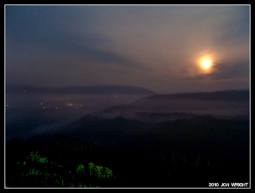
Moonsetting over Great Cacapon
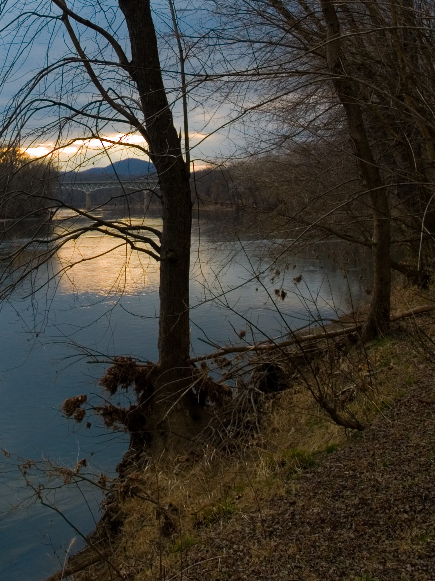
sunset on the river 3
Bench Monday: Potomac Edition

2014-07-15 (27) - Hancock High School

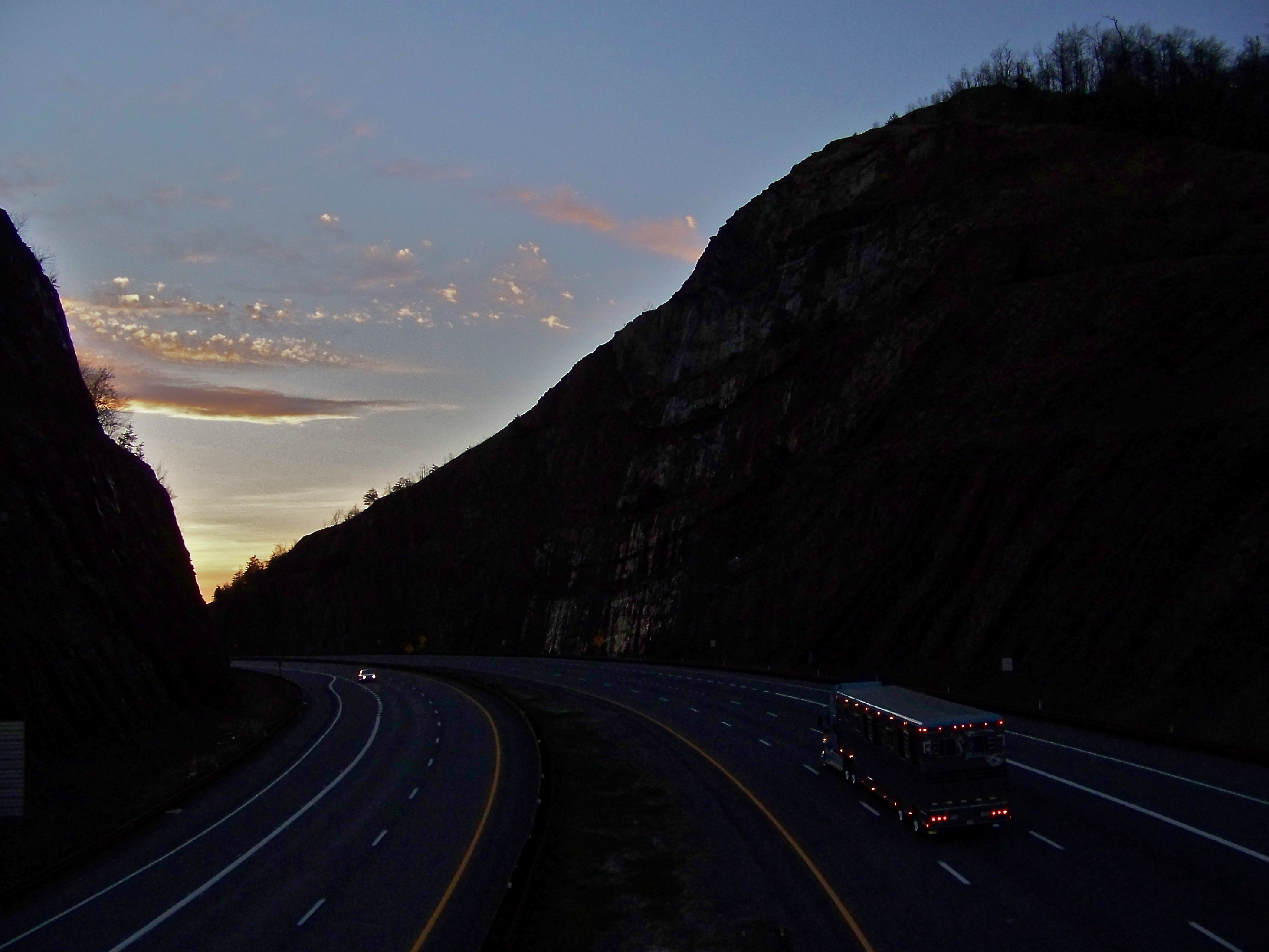
Sunset from Sideling Hill Mt. Maryland, USA

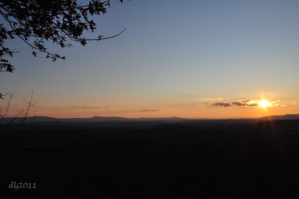
Sunset over the Mountains
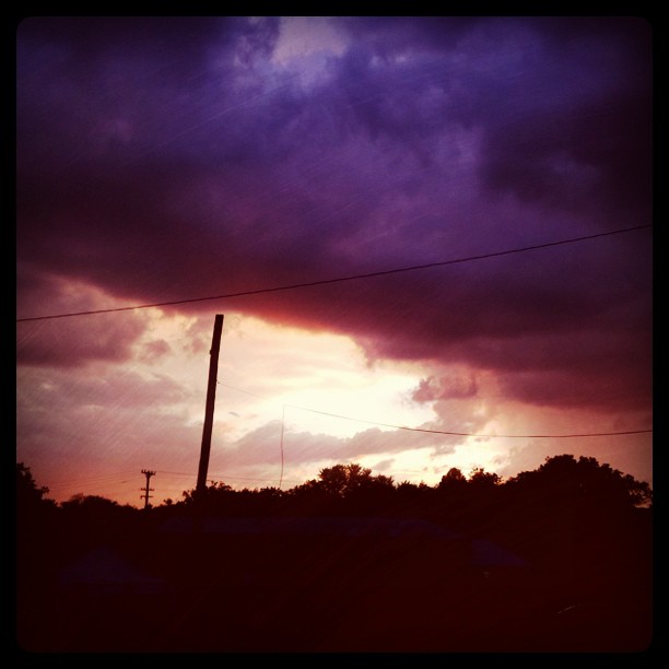
Sunset and ominous clouds at trail's end.

A Sliver Of Brilliance
Sidling Hill MD near sunset
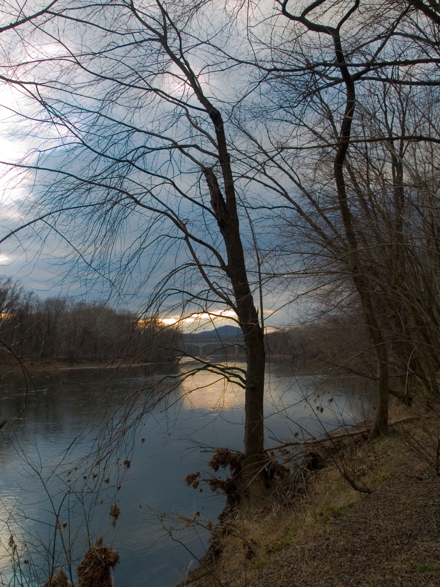
sunset on the river 1
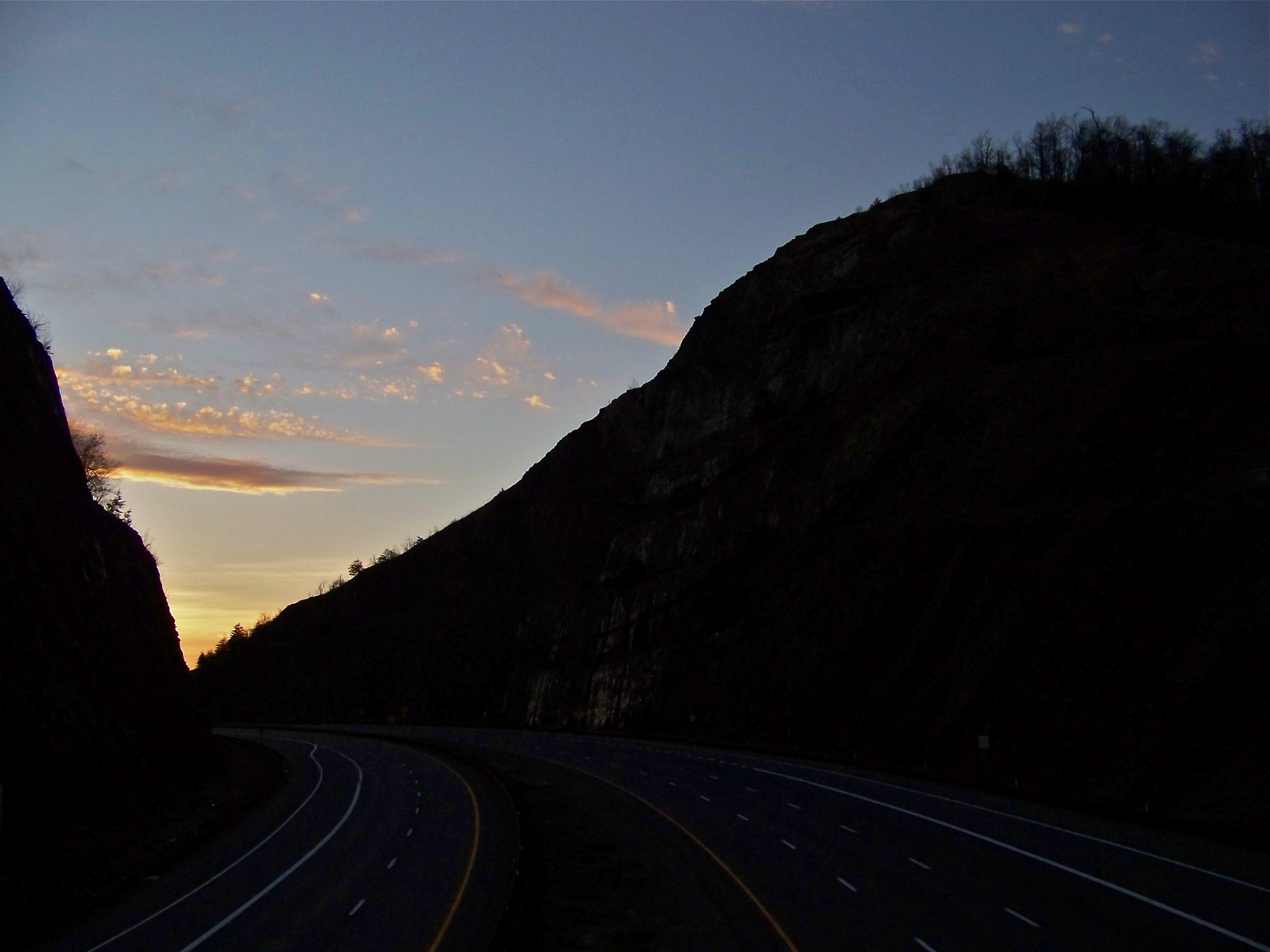
Sunset Over Sidling Hill

Driving into the sunset

10th Finest View In The World: Panorama Overlook, West Virginia
Last of the Daylight

Green Ridge State Forest MD - 2015-11-15 - Yonkers Bottom (4)

sunset on the river 2

Sidling Hill Sycline

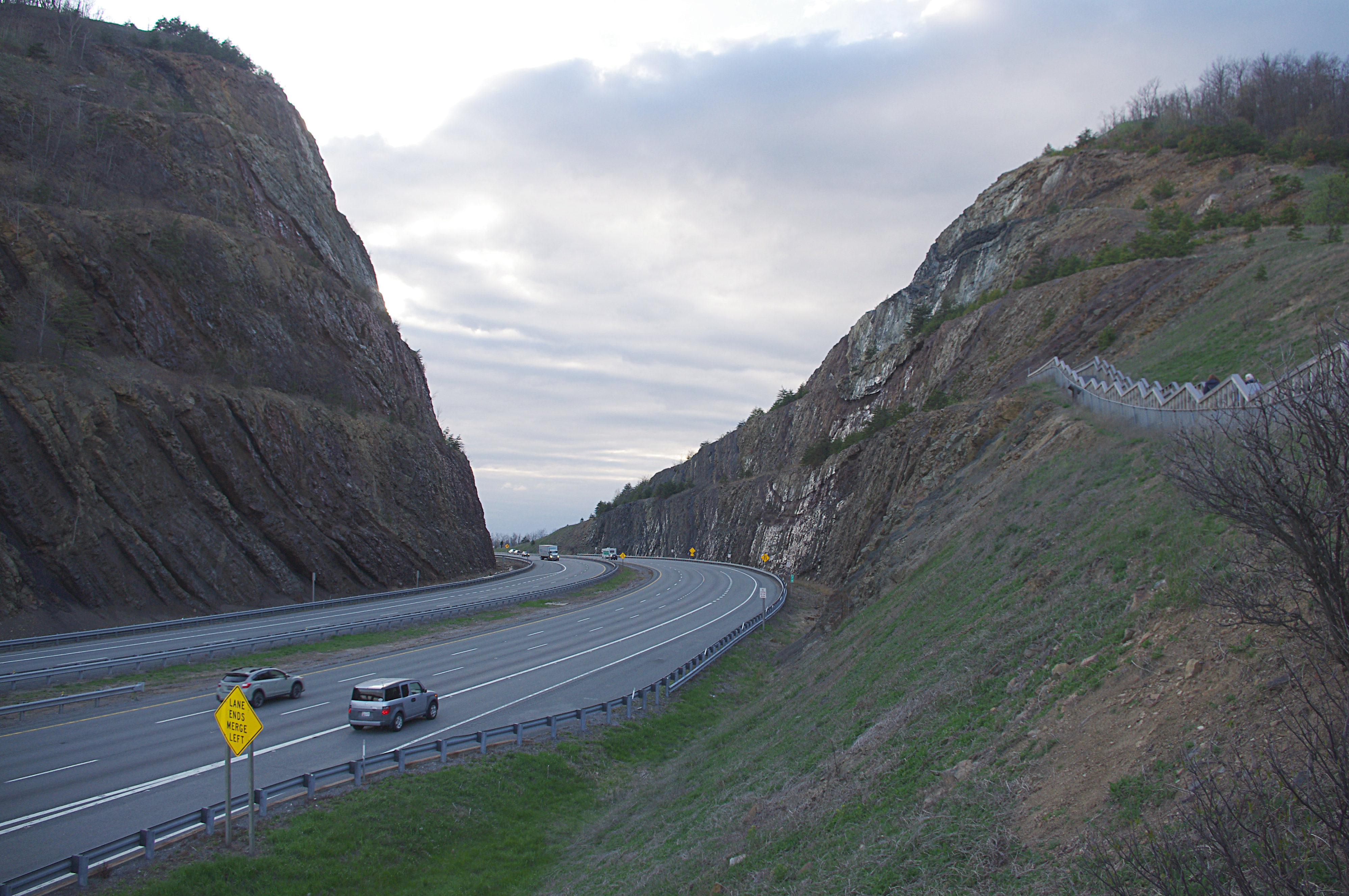
I-70W, Maryland
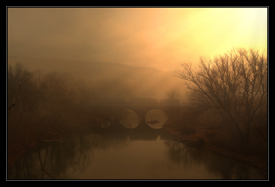
Cacapon Viaduct Misty Sunrise [EXPLORED]
Sideling Sunrise
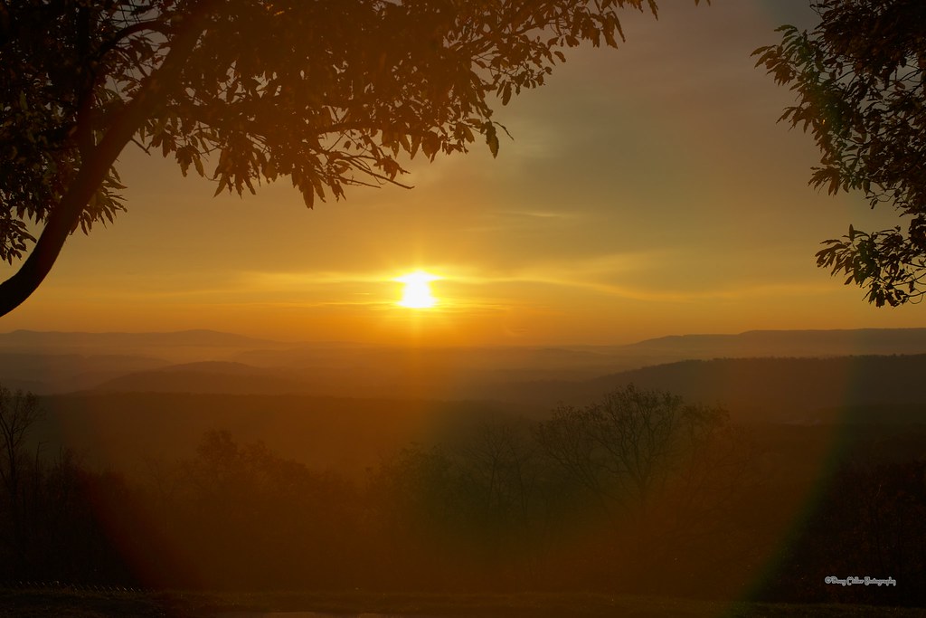
"Sunrise on Sideling Hill" El Natural

Sunrise at Sideling Hill

Maryland Vista
National Pike NE, Flintstone, MD アメリカ合衆国の地図
別の場所を検索
近所の場所
Riser Rd, Hancock, MD アメリカ合衆国
Hixon Rd, Hancock, MD アメリカ合衆国
アメリカ合衆国 〒 メリーランド州 5, ハンコック サイドリング・ヒル
アメリカ合衆国 メリーランド州 5, ハンコック
アメリカ合衆国 〒 メリーランド州 ウッドモント
アメリカ合衆国 〒 メリーランド州 リトル・オーリンズ
Appel Rd, Little Orleans, MD アメリカ合衆国
アメリカ合衆国 〒 ウェスト・バージニア州 グレート・カカポン
Spring St, Great Cacapon, WV アメリカ合衆国Spring Street
Ground Hog Trail, Great Cacapon, WV アメリカ合衆国
Cacapon Rd, Berkeley Springs, WV アメリカ合衆国パノラマ・オーバールック
WV-9, Berkeley Springs, WV アメリカ合衆国Prospect Peak
Center Ridge Rd, Great Cacapon, WV アメリカ合衆国
Hill Top Rd, Great Cacapon, WV アメリカ合衆国
Stonedrifts Ln, Great Cacapon, WV アメリカ合衆国Stonedrifts Lane
Cabin Ln, Great Cacapon, WV アメリカ合衆国キャビン・レーン
Fern Valley Way, 1, WV アメリカ合衆国ファーン・バレー・ウェイ
Cacapon Rd, Berkeley Springs, WV アメリカ合衆国バークレー・スプリングス・キャッスル
Wilkes St, Berkeley Springs, WV アメリカ合衆国
Kessel Rd, 1, WV, アメリカ合衆国ケセル・ロード
最近の検索
- 日本、〒- 愛媛県今治市吉海町南浦日の出日の入り時間
- イギリス 〒FK8 スターリング キッペン日の出日の入り時間
- No. 23號, Zhongzheng Rd, Yuchi Township, Nantou County, 台湾 雲品温泉酒店日の出日の入り時間
- 日本、〒- 北海道岩見沢市北村赤川156−16日の出日の入り時間
- 55 Cassick Valley Rd, Wellfleet, MA アメリカ合衆国日の出日の入り時間
- 日本、〒- 東京都八王子市高尾町高尾山口駅日の出日の入り時間
- 日本、〒- 奈良県天理市杣之内町日の出日の入り時間
- Kota Ternate Utara, Ternate City, North Maluku, インドネシア日の出日の入り時間
- Zhongzheng S Rd, Sanchong District, New Taipei City, 台湾 Zhongzheng South Road日の出日の入り時間
- コンゴ民主共和国 リュアラバ日の出日の入り時間