Mt Vernon Rd, Princess Anne, MD アメリカ合衆国日の出日の入り時間
Location: アメリカ合衆国 > メリーランド州 > サマセット > マウント・ヴァーノン > アメリカ合衆国 〒 メリーランド州 マウント・ヴァーノン >
時間帯:
America/New_York
現地時間:
2024-05-20 02:18:04
経度:
-75.829564
緯度:
38.242638
今日の日の出時刻:
05:47:36 AM
今日の日の入時刻:
08:12:13 PM
今日の日長:
14h 24m 37s
明日の日の出時刻:
05:46:55 AM
明日の日の入時刻:
08:13:03 PM
明日の日長:
14h 26m 8s
すべて表示する
| 日付 | 日出 | 日没 | 日長 |
|---|---|---|---|
| 2024年01月01日 | 07:20:01 AM | 04:54:08 PM | 9h 34m 7s |
| 2024年01月02日 | 07:20:08 AM | 04:54:57 PM | 9h 34m 49s |
| 2024年01月03日 | 07:20:12 AM | 04:55:48 PM | 9h 35m 36s |
| 2024年01月04日 | 07:20:15 AM | 04:56:39 PM | 9h 36m 24s |
| 2024年01月05日 | 07:20:15 AM | 04:57:32 PM | 9h 37m 17s |
| 2024年01月06日 | 07:20:13 AM | 04:58:27 PM | 9h 38m 14s |
| 2024年01月07日 | 07:20:10 AM | 04:59:22 PM | 9h 39m 12s |
| 2024年01月08日 | 07:20:04 AM | 05:00:19 PM | 9h 40m 15s |
| 2024年01月09日 | 07:19:56 AM | 05:01:16 PM | 9h 41m 20s |
| 2024年01月10日 | 07:19:45 AM | 05:02:15 PM | 9h 42m 30s |
| 2024年01月11日 | 07:19:33 AM | 05:03:14 PM | 9h 43m 41s |
| 2024年01月12日 | 07:19:19 AM | 05:04:14 PM | 9h 44m 55s |
| 2024年01月13日 | 07:19:02 AM | 05:05:16 PM | 9h 46m 14s |
| 2024年01月14日 | 07:18:44 AM | 05:06:18 PM | 9h 47m 34s |
| 2024年01月15日 | 07:18:23 AM | 05:07:20 PM | 9h 48m 57s |
| 2024年01月16日 | 07:18:01 AM | 05:08:23 PM | 9h 50m 22s |
| 2024年01月17日 | 07:17:36 AM | 05:09:27 PM | 9h 51m 51s |
| 2024年01月18日 | 07:17:10 AM | 05:10:32 PM | 9h 53m 22s |
| 2024年01月19日 | 07:16:41 AM | 05:11:37 PM | 9h 54m 56s |
| 2024年01月20日 | 07:16:10 AM | 05:12:43 PM | 9h 56m 33s |
| 2024年01月21日 | 07:15:38 AM | 05:13:49 PM | 9h 58m 11s |
| 2024年01月22日 | 07:15:04 AM | 05:14:55 PM | 9h 59m 51s |
| 2024年01月23日 | 07:14:27 AM | 05:16:02 PM | 10h 1m 35s |
| 2024年01月24日 | 07:13:49 AM | 05:17:09 PM | 10h 3m 20s |
| 2024年01月25日 | 07:13:09 AM | 05:18:16 PM | 10h 5m 7s |
| 2024年01月26日 | 07:12:27 AM | 05:19:23 PM | 10h 6m 56s |
| 2024年01月27日 | 07:11:44 AM | 05:20:31 PM | 10h 8m 47s |
| 2024年01月28日 | 07:10:58 AM | 05:21:39 PM | 10h 10m 41s |
| 2024年01月29日 | 07:10:11 AM | 05:22:47 PM | 10h 12m 36s |
| 2024年01月30日 | 07:09:22 AM | 05:23:55 PM | 10h 14m 33s |
| 2024年01月31日 | 07:08:32 AM | 05:25:03 PM | 10h 16m 31s |
| 2024年02月01日 | 07:07:39 AM | 05:26:11 PM | 10h 18m 32s |
| 2024年02月02日 | 07:06:46 AM | 05:27:19 PM | 10h 20m 33s |
| 2024年02月03日 | 07:05:50 AM | 05:28:27 PM | 10h 22m 37s |
| 2024年02月04日 | 07:04:53 AM | 05:29:35 PM | 10h 24m 42s |
| 2024年02月05日 | 07:03:55 AM | 05:30:43 PM | 10h 26m 48s |
| 2024年02月06日 | 07:02:55 AM | 05:31:51 PM | 10h 28m 56s |
| 2024年02月07日 | 07:01:53 AM | 05:32:58 PM | 10h 31m 5s |
| 2024年02月08日 | 07:00:51 AM | 05:34:06 PM | 10h 33m 15s |
| 2024年02月09日 | 06:59:46 AM | 05:35:13 PM | 10h 35m 27s |
| 2024年02月10日 | 06:58:41 AM | 05:36:20 PM | 10h 37m 39s |
| 2024年02月11日 | 06:57:34 AM | 05:37:27 PM | 10h 39m 53s |
| 2024年02月12日 | 06:56:26 AM | 05:38:34 PM | 10h 42m 8s |
| 2024年02月13日 | 06:55:16 AM | 05:39:40 PM | 10h 44m 24s |
| 2024年02月14日 | 06:54:06 AM | 05:40:46 PM | 10h 46m 40s |
| 2024年02月15日 | 06:52:54 AM | 05:41:52 PM | 10h 48m 58s |
| 2024年02月16日 | 06:51:41 AM | 05:42:57 PM | 10h 51m 16s |
| 2024年02月17日 | 06:50:27 AM | 05:44:03 PM | 10h 53m 36s |
| 2024年02月18日 | 06:49:12 AM | 05:45:08 PM | 10h 55m 56s |
| 2024年02月19日 | 06:47:55 AM | 05:46:12 PM | 10h 58m 17s |
| 2024年02月20日 | 06:46:38 AM | 05:47:17 PM | 11h 0m 39s |
| 2024年02月21日 | 06:45:20 AM | 05:48:21 PM | 11h 3m 1s |
| 2024年02月22日 | 06:44:01 AM | 05:49:25 PM | 11h 5m 24s |
| 2024年02月23日 | 06:42:41 AM | 05:50:28 PM | 11h 7m 47s |
| 2024年02月24日 | 06:41:20 AM | 05:51:31 PM | 11h 10m 11s |
| 2024年02月25日 | 06:39:58 AM | 05:52:34 PM | 11h 12m 36s |
| 2024年02月26日 | 06:38:35 AM | 05:53:36 PM | 11h 15m 1s |
| 2024年02月27日 | 06:37:12 AM | 05:54:38 PM | 11h 17m 26s |
| 2024年02月28日 | 06:35:48 AM | 05:55:40 PM | 11h 19m 52s |
| 2024年02月29日 | 06:34:23 AM | 05:56:42 PM | 11h 22m 19s |
| 2024年03月01日 | 06:32:57 AM | 05:57:43 PM | 11h 24m 46s |
| 2024年03月02日 | 06:31:31 AM | 05:58:44 PM | 11h 27m 13s |
| 2024年03月03日 | 06:30:04 AM | 05:59:45 PM | 11h 29m 41s |
| 2024年03月04日 | 06:28:37 AM | 06:00:45 PM | 11h 32m 8s |
| 2024年03月05日 | 06:27:09 AM | 06:01:45 PM | 11h 34m 36s |
| 2024年03月06日 | 06:25:40 AM | 06:02:45 PM | 11h 37m 5s |
| 2024年03月07日 | 06:24:11 AM | 06:03:44 PM | 11h 39m 33s |
| 2024年03月08日 | 06:22:42 AM | 06:04:44 PM | 11h 42m 2s |
| 2024年03月09日 | 06:21:12 AM | 06:05:43 PM | 11h 44m 31s |
| 2024年03月10日 | 07:19:46 AM | 07:06:39 PM | 11h 46m 53s |
| 2024年03月11日 | 07:18:15 AM | 07:07:38 PM | 11h 49m 23s |
| 2024年03月12日 | 07:16:44 AM | 07:08:36 PM | 11h 51m 52s |
| 2024年03月13日 | 07:15:13 AM | 07:09:34 PM | 11h 54m 21s |
| 2024年03月14日 | 07:13:41 AM | 07:10:32 PM | 11h 56m 51s |
| 2024年03月15日 | 07:12:09 AM | 07:11:30 PM | 11h 59m 21s |
| 2024年03月16日 | 07:10:37 AM | 07:12:27 PM | 12h 1m 50s |
| 2024年03月17日 | 07:09:05 AM | 07:13:25 PM | 12h 4m 20s |
| 2024年03月18日 | 07:07:33 AM | 07:14:22 PM | 12h 6m 49s |
| 2024年03月19日 | 07:06:00 AM | 07:15:19 PM | 12h 9m 19s |
| 2024年03月20日 | 07:04:28 AM | 07:16:16 PM | 12h 11m 48s |
| 2024年03月21日 | 07:02:55 AM | 07:17:12 PM | 12h 14m 17s |
| 2024年03月22日 | 07:01:23 AM | 07:18:09 PM | 12h 16m 46s |
| 2024年03月23日 | 06:59:50 AM | 07:19:06 PM | 12h 19m 16s |
| 2024年03月24日 | 06:58:17 AM | 07:20:02 PM | 12h 21m 45s |
| 2024年03月25日 | 06:56:45 AM | 07:20:58 PM | 12h 24m 13s |
| 2024年03月26日 | 06:55:12 AM | 07:21:55 PM | 12h 26m 43s |
| 2024年03月27日 | 06:53:40 AM | 07:22:51 PM | 12h 29m 11s |
| 2024年03月28日 | 06:52:08 AM | 07:23:47 PM | 12h 31m 39s |
| 2024年03月29日 | 06:50:36 AM | 07:24:43 PM | 12h 34m 7s |
| 2024年03月30日 | 06:49:04 AM | 07:25:39 PM | 12h 36m 35s |
| 2024年03月31日 | 06:47:32 AM | 07:26:35 PM | 12h 39m 3s |
| 2024年04月01日 | 06:46:01 AM | 07:27:31 PM | 12h 41m 30s |
| 2024年04月02日 | 06:44:30 AM | 07:28:27 PM | 12h 43m 57s |
| 2024年04月03日 | 06:42:59 AM | 07:29:23 PM | 12h 46m 24s |
| 2024年04月04日 | 06:41:29 AM | 07:30:19 PM | 12h 48m 50s |
| 2024年04月05日 | 06:39:59 AM | 07:31:15 PM | 12h 51m 16s |
| 2024年04月06日 | 06:38:29 AM | 07:32:11 PM | 12h 53m 42s |
| 2024年04月07日 | 06:37:00 AM | 07:33:07 PM | 12h 56m 7s |
| 2024年04月08日 | 06:35:31 AM | 07:34:03 PM | 12h 58m 32s |
| 2024年04月09日 | 06:34:03 AM | 07:34:59 PM | 13h 0m 56s |
| 2024年04月10日 | 06:32:36 AM | 07:35:55 PM | 13h 3m 19s |
| 2024年04月11日 | 06:31:09 AM | 07:36:51 PM | 13h 5m 42s |
| 2024年04月12日 | 06:29:42 AM | 07:37:47 PM | 13h 8m 5s |
| 2024年04月13日 | 06:28:16 AM | 07:38:43 PM | 13h 10m 27s |
| 2024年04月14日 | 06:26:51 AM | 07:39:40 PM | 13h 12m 49s |
| 2024年04月15日 | 06:25:27 AM | 07:40:36 PM | 13h 15m 9s |
| 2024年04月16日 | 06:24:03 AM | 07:41:32 PM | 13h 17m 29s |
| 2024年04月17日 | 06:22:40 AM | 07:42:28 PM | 13h 19m 48s |
| 2024年04月18日 | 06:21:18 AM | 07:43:25 PM | 13h 22m 7s |
| 2024年04月19日 | 06:19:56 AM | 07:44:21 PM | 13h 24m 25s |
| 2024年04月20日 | 06:18:36 AM | 07:45:18 PM | 13h 26m 42s |
| 2024年04月21日 | 06:17:16 AM | 07:46:14 PM | 13h 28m 58s |
| 2024年04月22日 | 06:15:57 AM | 07:47:11 PM | 13h 31m 14s |
| 2024年04月23日 | 06:14:40 AM | 07:48:07 PM | 13h 33m 27s |
| 2024年04月24日 | 06:13:23 AM | 07:49:03 PM | 13h 35m 40s |
| 2024年04月25日 | 06:12:07 AM | 07:50:00 PM | 13h 37m 53s |
| 2024年04月26日 | 06:10:52 AM | 07:50:56 PM | 13h 40m 4s |
| 2024年04月27日 | 06:09:38 AM | 07:51:53 PM | 13h 42m 15s |
| 2024年04月28日 | 06:08:25 AM | 07:52:49 PM | 13h 44m 24s |
| 2024年04月29日 | 06:07:14 AM | 07:53:45 PM | 13h 46m 31s |
| 2024年04月30日 | 06:06:03 AM | 07:54:41 PM | 13h 48m 38s |
| 2024年05月01日 | 06:04:54 AM | 07:55:38 PM | 13h 50m 44s |
| 2024年05月02日 | 06:03:46 AM | 07:56:34 PM | 13h 52m 48s |
| 2024年05月03日 | 06:02:39 AM | 07:57:30 PM | 13h 54m 51s |
| 2024年05月04日 | 06:01:33 AM | 07:58:25 PM | 13h 56m 52s |
| 2024年05月05日 | 06:00:29 AM | 07:59:21 PM | 13h 58m 52s |
| 2024年05月06日 | 05:59:25 AM | 08:00:16 PM | 14h 0m 51s |
| 2024年05月07日 | 05:58:24 AM | 08:01:11 PM | 14h 2m 47s |
| 2024年05月08日 | 05:57:23 AM | 08:02:06 PM | 14h 4m 43s |
| 2024年05月09日 | 05:56:24 AM | 08:03:01 PM | 14h 6m 37s |
| 2024年05月10日 | 05:55:27 AM | 08:03:56 PM | 14h 8m 29s |
| 2024年05月11日 | 05:54:31 AM | 08:04:50 PM | 14h 10m 19s |
| 2024年05月12日 | 05:53:36 AM | 08:05:44 PM | 14h 12m 8s |
| 2024年05月13日 | 05:52:43 AM | 08:06:37 PM | 14h 13m 54s |
| 2024年05月14日 | 05:51:52 AM | 08:07:30 PM | 14h 15m 38s |
| 2024年05月15日 | 05:51:02 AM | 08:08:23 PM | 14h 17m 21s |
| 2024年05月16日 | 05:50:13 AM | 08:09:15 PM | 14h 19m 2s |
| 2024年05月17日 | 05:49:26 AM | 08:10:06 PM | 14h 20m 40s |
| 2024年05月18日 | 05:48:41 AM | 08:10:58 PM | 14h 22m 17s |
| 2024年05月19日 | 05:47:57 AM | 08:11:48 PM | 14h 23m 51s |
| 2024年05月20日 | 05:47:16 AM | 08:12:38 PM | 14h 25m 22s |
| 2024年05月21日 | 05:46:35 AM | 08:13:28 PM | 14h 26m 53s |
| 2024年05月22日 | 05:45:57 AM | 08:14:16 PM | 14h 28m 19s |
| 2024年05月23日 | 05:45:20 AM | 08:15:04 PM | 14h 29m 44s |
| 2024年05月24日 | 05:44:45 AM | 08:15:52 PM | 14h 31m 7s |
| 2024年05月25日 | 05:44:11 AM | 08:16:38 PM | 14h 32m 27s |
| 2024年05月26日 | 05:43:40 AM | 08:17:24 PM | 14h 33m 44s |
| 2024年05月27日 | 05:43:10 AM | 08:18:09 PM | 14h 34m 59s |
| 2024年05月28日 | 05:42:42 AM | 08:18:53 PM | 14h 36m 11s |
| 2024年05月29日 | 05:42:16 AM | 08:19:36 PM | 14h 37m 20s |
| 2024年05月30日 | 05:41:51 AM | 08:20:18 PM | 14h 38m 27s |
| 2024年05月31日 | 05:41:29 AM | 08:20:59 PM | 14h 39m 30s |
| 2024年06月01日 | 05:41:08 AM | 08:21:39 PM | 14h 40m 31s |
| 2024年06月02日 | 05:40:49 AM | 08:22:17 PM | 14h 41m 28s |
| 2024年06月03日 | 05:40:32 AM | 08:22:55 PM | 14h 42m 23s |
| 2024年06月04日 | 05:40:17 AM | 08:23:32 PM | 14h 43m 15s |
| 2024年06月05日 | 05:40:03 AM | 08:24:07 PM | 14h 44m 4s |
| 2024年06月06日 | 05:39:52 AM | 08:24:41 PM | 14h 44m 49s |
| 2024年06月07日 | 05:39:42 AM | 08:25:14 PM | 14h 45m 32s |
| 2024年06月08日 | 05:39:34 AM | 08:25:46 PM | 14h 46m 12s |
| 2024年06月09日 | 05:39:28 AM | 08:26:16 PM | 14h 46m 48s |
| 2024年06月10日 | 05:39:24 AM | 08:26:44 PM | 14h 47m 20s |
| 2024年06月11日 | 05:39:21 AM | 08:27:12 PM | 14h 47m 51s |
| 2024年06月12日 | 05:39:20 AM | 08:27:38 PM | 14h 48m 18s |
| 2024年06月13日 | 05:39:21 AM | 08:28:02 PM | 14h 48m 41s |
| 2024年06月14日 | 05:39:24 AM | 08:28:25 PM | 14h 49m 1s |
| 2024年06月15日 | 05:39:29 AM | 08:28:46 PM | 14h 49m 17s |
| 2024年06月16日 | 05:39:35 AM | 08:29:06 PM | 14h 49m 31s |
| 2024年06月17日 | 05:39:43 AM | 08:29:24 PM | 14h 49m 41s |
| 2024年06月18日 | 05:39:53 AM | 08:29:40 PM | 14h 49m 47s |
| 2024年06月19日 | 05:40:04 AM | 08:29:55 PM | 14h 49m 51s |
| 2024年06月20日 | 05:40:18 AM | 08:30:08 PM | 14h 49m 50s |
| 2024年06月21日 | 05:40:32 AM | 08:30:19 PM | 14h 49m 47s |
| 2024年06月22日 | 05:40:49 AM | 08:30:29 PM | 14h 49m 40s |
| 2024年06月23日 | 05:41:07 AM | 08:30:37 PM | 14h 49m 30s |
| 2024年06月24日 | 05:41:26 AM | 08:30:43 PM | 14h 49m 17s |
| 2024年06月25日 | 05:41:47 AM | 08:30:47 PM | 14h 49m 0s |
| 2024年06月26日 | 05:42:09 AM | 08:30:49 PM | 14h 48m 40s |
| 2024年06月27日 | 05:42:33 AM | 08:30:50 PM | 14h 48m 17s |
| 2024年06月28日 | 05:42:59 AM | 08:30:49 PM | 14h 47m 50s |
| 2024年06月29日 | 05:43:25 AM | 08:30:46 PM | 14h 47m 21s |
| 2024年06月30日 | 05:43:54 AM | 08:30:41 PM | 14h 46m 47s |
| 2024年07月01日 | 05:44:23 AM | 08:30:34 PM | 14h 46m 11s |
| 2024年07月02日 | 05:44:54 AM | 08:30:25 PM | 14h 45m 31s |
| 2024年07月03日 | 05:45:26 AM | 08:30:14 PM | 14h 44m 48s |
| 2024年07月04日 | 05:45:59 AM | 08:30:02 PM | 14h 44m 3s |
| 2024年07月05日 | 05:46:33 AM | 08:29:48 PM | 14h 43m 15s |
| 2024年07月06日 | 05:47:09 AM | 08:29:32 PM | 14h 42m 23s |
| 2024年07月07日 | 05:47:45 AM | 08:29:13 PM | 14h 41m 28s |
| 2024年07月08日 | 05:48:23 AM | 08:28:54 PM | 14h 40m 31s |
| 2024年07月09日 | 05:49:01 AM | 08:28:32 PM | 14h 39m 31s |
| 2024年07月10日 | 05:49:41 AM | 08:28:08 PM | 14h 38m 27s |
| 2024年07月11日 | 05:50:21 AM | 08:27:43 PM | 14h 37m 22s |
| 2024年07月12日 | 05:51:03 AM | 08:27:15 PM | 14h 36m 12s |
| 2024年07月13日 | 05:51:45 AM | 08:26:46 PM | 14h 35m 1s |
| 2024年07月14日 | 05:52:28 AM | 08:26:15 PM | 14h 33m 47s |
| 2024年07月15日 | 05:53:12 AM | 08:25:42 PM | 14h 32m 30s |
| 2024年07月16日 | 05:53:57 AM | 08:25:08 PM | 14h 31m 11s |
| 2024年07月17日 | 05:54:42 AM | 08:24:31 PM | 14h 29m 49s |
| 2024年07月18日 | 05:55:28 AM | 08:23:53 PM | 14h 28m 25s |
| 2024年07月19日 | 05:56:15 AM | 08:23:13 PM | 14h 26m 58s |
| 2024年07月20日 | 05:57:02 AM | 08:22:32 PM | 14h 25m 30s |
| 2024年07月21日 | 05:57:50 AM | 08:21:48 PM | 14h 23m 58s |
| 2024年07月22日 | 05:58:38 AM | 08:21:03 PM | 14h 22m 25s |
| 2024年07月23日 | 05:59:27 AM | 08:20:17 PM | 14h 20m 50s |
| 2024年07月24日 | 06:00:16 AM | 08:19:29 PM | 14h 19m 13s |
| 2024年07月25日 | 06:01:05 AM | 08:18:39 PM | 14h 17m 34s |
| 2024年07月26日 | 06:01:56 AM | 08:17:47 PM | 14h 15m 51s |
| 2024年07月27日 | 06:02:46 AM | 08:16:54 PM | 14h 14m 8s |
| 2024年07月28日 | 06:03:37 AM | 08:16:00 PM | 14h 12m 23s |
| 2024年07月29日 | 06:04:28 AM | 08:15:04 PM | 14h 10m 36s |
| 2024年07月30日 | 06:05:19 AM | 08:14:06 PM | 14h 8m 47s |
| 2024年07月31日 | 06:06:10 AM | 08:13:07 PM | 14h 6m 57s |
| 2024年08月01日 | 06:07:02 AM | 08:12:06 PM | 14h 5m 4s |
| 2024年08月02日 | 06:07:54 AM | 08:11:05 PM | 14h 3m 11s |
| 2024年08月03日 | 06:08:46 AM | 08:10:01 PM | 14h 1m 15s |
| 2024年08月04日 | 06:09:39 AM | 08:08:57 PM | 13h 59m 18s |
| 2024年08月05日 | 06:10:31 AM | 08:07:51 PM | 13h 57m 20s |
| 2024年08月06日 | 06:11:24 AM | 08:06:43 PM | 13h 55m 19s |
| 2024年08月07日 | 06:12:16 AM | 08:05:35 PM | 13h 53m 19s |
| 2024年08月08日 | 06:13:09 AM | 08:04:25 PM | 13h 51m 16s |
| 2024年08月09日 | 06:14:02 AM | 08:03:14 PM | 13h 49m 12s |
| 2024年08月10日 | 06:14:54 AM | 08:02:02 PM | 13h 47m 8s |
| 2024年08月11日 | 06:15:47 AM | 08:00:49 PM | 13h 45m 2s |
| 2024年08月12日 | 06:16:40 AM | 07:59:34 PM | 13h 42m 54s |
| 2024年08月13日 | 06:17:33 AM | 07:58:19 PM | 13h 40m 46s |
| 2024年08月14日 | 06:18:26 AM | 07:57:02 PM | 13h 38m 36s |
| 2024年08月15日 | 06:19:18 AM | 07:55:45 PM | 13h 36m 27s |
| 2024年08月16日 | 06:20:11 AM | 07:54:26 PM | 13h 34m 15s |
| 2024年08月17日 | 06:21:04 AM | 07:53:07 PM | 13h 32m 3s |
| 2024年08月18日 | 06:21:57 AM | 07:51:46 PM | 13h 29m 49s |
| 2024年08月19日 | 06:22:49 AM | 07:50:25 PM | 13h 27m 36s |
| 2024年08月20日 | 06:23:42 AM | 07:49:03 PM | 13h 25m 21s |
| 2024年08月21日 | 06:24:34 AM | 07:47:39 PM | 13h 23m 5s |
| 2024年08月22日 | 06:25:27 AM | 07:46:15 PM | 13h 20m 48s |
| 2024年08月23日 | 06:26:19 AM | 07:44:51 PM | 13h 18m 32s |
| 2024年08月24日 | 06:27:11 AM | 07:43:25 PM | 13h 16m 14s |
| 2024年08月25日 | 06:28:04 AM | 07:41:59 PM | 13h 13m 55s |
| 2024年08月26日 | 06:28:56 AM | 07:40:32 PM | 13h 11m 36s |
| 2024年08月27日 | 06:29:48 AM | 07:39:04 PM | 13h 9m 16s |
| 2024年08月28日 | 06:30:40 AM | 07:37:36 PM | 13h 6m 56s |
| 2024年08月29日 | 06:31:32 AM | 07:36:07 PM | 13h 4m 35s |
| 2024年08月30日 | 06:32:24 AM | 07:34:38 PM | 13h 2m 14s |
| 2024年08月31日 | 06:33:16 AM | 07:33:08 PM | 12h 59m 52s |
| 2024年09月01日 | 06:34:07 AM | 07:31:38 PM | 12h 57m 31s |
| 2024年09月02日 | 06:34:59 AM | 07:30:07 PM | 12h 55m 8s |
| 2024年09月03日 | 06:35:51 AM | 07:28:35 PM | 12h 52m 44s |
| 2024年09月04日 | 06:36:43 AM | 07:27:03 PM | 12h 50m 20s |
| 2024年09月05日 | 06:37:34 AM | 07:25:31 PM | 12h 47m 57s |
| 2024年09月06日 | 06:38:26 AM | 07:23:58 PM | 12h 45m 32s |
| 2024年09月07日 | 06:39:17 AM | 07:22:25 PM | 12h 43m 8s |
| 2024年09月08日 | 06:40:09 AM | 07:20:52 PM | 12h 40m 43s |
| 2024年09月09日 | 06:41:01 AM | 07:19:18 PM | 12h 38m 17s |
| 2024年09月10日 | 06:41:52 AM | 07:17:44 PM | 12h 35m 52s |
| 2024年09月11日 | 06:42:44 AM | 07:16:10 PM | 12h 33m 26s |
| 2024年09月12日 | 06:43:35 AM | 07:14:36 PM | 12h 31m 1s |
| 2024年09月13日 | 06:44:27 AM | 07:13:02 PM | 12h 28m 35s |
| 2024年09月14日 | 06:45:19 AM | 07:11:27 PM | 12h 26m 8s |
| 2024年09月15日 | 06:46:11 AM | 07:09:52 PM | 12h 23m 41s |
| 2024年09月16日 | 06:47:03 AM | 07:08:18 PM | 12h 21m 15s |
| 2024年09月17日 | 06:47:55 AM | 07:06:43 PM | 12h 18m 48s |
| 2024年09月18日 | 06:48:47 AM | 07:05:08 PM | 12h 16m 21s |
| 2024年09月19日 | 06:49:39 AM | 07:03:33 PM | 12h 13m 54s |
| 2024年09月20日 | 06:50:31 AM | 07:01:58 PM | 12h 11m 27s |
| 2024年09月21日 | 06:51:24 AM | 07:00:23 PM | 12h 8m 59s |
| 2024年09月22日 | 06:52:16 AM | 06:58:49 PM | 12h 6m 33s |
| 2024年09月23日 | 06:53:09 AM | 06:57:14 PM | 12h 4m 5s |
| 2024年09月24日 | 06:54:02 AM | 06:55:40 PM | 12h 1m 38s |
| 2024年09月25日 | 06:54:55 AM | 06:54:06 PM | 11h 59m 11s |
| 2024年09月26日 | 06:55:48 AM | 06:52:32 PM | 11h 56m 44s |
| 2024年09月27日 | 06:56:41 AM | 06:50:58 PM | 11h 54m 17s |
| 2024年09月28日 | 06:57:35 AM | 06:49:24 PM | 11h 51m 49s |
| 2024年09月29日 | 06:58:29 AM | 06:47:51 PM | 11h 49m 22s |
| 2024年09月30日 | 06:59:23 AM | 06:46:18 PM | 11h 46m 55s |
| 2024年10月01日 | 07:00:17 AM | 06:44:46 PM | 11h 44m 29s |
| 2024年10月02日 | 07:01:12 AM | 06:43:14 PM | 11h 42m 2s |
| 2024年10月03日 | 07:02:07 AM | 06:41:42 PM | 11h 39m 35s |
| 2024年10月04日 | 07:03:02 AM | 06:40:11 PM | 11h 37m 9s |
| 2024年10月05日 | 07:03:57 AM | 06:38:40 PM | 11h 34m 43s |
| 2024年10月06日 | 07:04:53 AM | 06:37:10 PM | 11h 32m 17s |
| 2024年10月07日 | 07:05:49 AM | 06:35:41 PM | 11h 29m 52s |
| 2024年10月08日 | 07:06:45 AM | 06:34:11 PM | 11h 27m 26s |
| 2024年10月09日 | 07:07:42 AM | 06:32:43 PM | 11h 25m 1s |
| 2024年10月10日 | 07:08:38 AM | 06:31:15 PM | 11h 22m 37s |
| 2024年10月11日 | 07:09:36 AM | 06:29:48 PM | 11h 20m 12s |
| 2024年10月12日 | 07:10:33 AM | 06:28:22 PM | 11h 17m 49s |
| 2024年10月13日 | 07:11:31 AM | 06:26:56 PM | 11h 15m 25s |
| 2024年10月14日 | 07:12:29 AM | 06:25:31 PM | 11h 13m 2s |
| 2024年10月15日 | 07:13:28 AM | 06:24:07 PM | 11h 10m 39s |
| 2024年10月16日 | 07:14:27 AM | 06:22:43 PM | 11h 8m 16s |
| 2024年10月17日 | 07:15:26 AM | 06:21:21 PM | 11h 5m 55s |
| 2024年10月18日 | 07:16:25 AM | 06:20:00 PM | 11h 3m 35s |
| 2024年10月19日 | 07:17:25 AM | 06:18:39 PM | 11h 1m 14s |
| 2024年10月20日 | 07:18:26 AM | 06:17:19 PM | 10h 58m 53s |
| 2024年10月21日 | 07:19:26 AM | 06:16:01 PM | 10h 56m 35s |
| 2024年10月22日 | 07:20:27 AM | 06:14:43 PM | 10h 54m 16s |
| 2024年10月23日 | 07:21:28 AM | 06:13:27 PM | 10h 51m 59s |
| 2024年10月24日 | 07:22:30 AM | 06:12:11 PM | 10h 49m 41s |
| 2024年10月25日 | 07:23:32 AM | 06:10:57 PM | 10h 47m 25s |
| 2024年10月26日 | 07:24:34 AM | 06:09:44 PM | 10h 45m 10s |
| 2024年10月27日 | 07:25:36 AM | 06:08:32 PM | 10h 42m 56s |
| 2024年10月28日 | 07:26:39 AM | 06:07:21 PM | 10h 40m 42s |
| 2024年10月29日 | 07:27:42 AM | 06:06:12 PM | 10h 38m 30s |
| 2024年10月30日 | 07:28:46 AM | 06:05:04 PM | 10h 36m 18s |
| 2024年10月31日 | 07:29:49 AM | 06:03:57 PM | 10h 34m 8s |
| 2024年11月01日 | 07:30:53 AM | 06:02:51 PM | 10h 31m 58s |
| 2024年11月02日 | 07:31:57 AM | 06:01:47 PM | 10h 29m 50s |
| 2024年11月03日 | 06:33:04 AM | 05:00:42 PM | 10h 27m 38s |
| 2024年11月04日 | 06:34:08 AM | 04:59:41 PM | 10h 25m 33s |
| 2024年11月05日 | 06:35:13 AM | 04:58:42 PM | 10h 23m 29s |
| 2024年11月06日 | 06:36:18 AM | 04:57:44 PM | 10h 21m 26s |
| 2024年11月07日 | 06:37:23 AM | 04:56:47 PM | 10h 19m 24s |
| 2024年11月08日 | 06:38:27 AM | 04:55:52 PM | 10h 17m 25s |
| 2024年11月09日 | 06:39:32 AM | 04:54:59 PM | 10h 15m 27s |
| 2024年11月10日 | 06:40:37 AM | 04:54:08 PM | 10h 13m 31s |
| 2024年11月11日 | 06:41:43 AM | 04:53:18 PM | 10h 11m 35s |
| 2024年11月12日 | 06:42:47 AM | 04:52:30 PM | 10h 9m 43s |
| 2024年11月13日 | 06:43:52 AM | 04:51:44 PM | 10h 7m 52s |
| 2024年11月14日 | 06:44:57 AM | 04:50:59 PM | 10h 6m 2s |
| 2024年11月15日 | 06:46:02 AM | 04:50:16 PM | 10h 4m 14s |
| 2024年11月16日 | 06:47:06 AM | 04:49:35 PM | 10h 2m 29s |
| 2024年11月17日 | 06:48:11 AM | 04:48:56 PM | 10h 0m 45s |
| 2024年11月18日 | 06:49:15 AM | 04:48:19 PM | 9h 59m 4s |
| 2024年11月19日 | 06:50:19 AM | 04:47:44 PM | 9h 57m 25s |
| 2024年11月20日 | 06:51:22 AM | 04:47:11 PM | 9h 55m 49s |
| 2024年11月21日 | 06:52:25 AM | 04:46:40 PM | 9h 54m 15s |
| 2024年11月22日 | 06:53:28 AM | 04:46:10 PM | 9h 52m 42s |
| 2024年11月23日 | 06:54:30 AM | 04:45:43 PM | 9h 51m 13s |
| 2024年11月24日 | 06:55:31 AM | 04:45:18 PM | 9h 49m 47s |
| 2024年11月25日 | 06:56:32 AM | 04:44:55 PM | 9h 48m 23s |
| 2024年11月26日 | 06:57:33 AM | 04:44:34 PM | 9h 47m 1s |
| 2024年11月27日 | 06:58:33 AM | 04:44:15 PM | 9h 45m 42s |
| 2024年11月28日 | 06:59:32 AM | 04:43:58 PM | 9h 44m 26s |
| 2024年11月29日 | 07:00:30 AM | 04:43:43 PM | 9h 43m 13s |
| 2024年11月30日 | 07:01:28 AM | 04:43:30 PM | 9h 42m 2s |
| 2024年12月01日 | 07:02:24 AM | 04:43:20 PM | 9h 40m 56s |
| 2024年12月02日 | 07:03:20 AM | 04:43:12 PM | 9h 39m 52s |
| 2024年12月03日 | 07:04:15 AM | 04:43:05 PM | 9h 38m 50s |
| 2024年12月04日 | 07:05:08 AM | 04:43:01 PM | 9h 37m 53s |
| 2024年12月05日 | 07:06:01 AM | 04:42:59 PM | 9h 36m 58s |
| 2024年12月06日 | 07:06:53 AM | 04:42:59 PM | 9h 36m 6s |
| 2024年12月07日 | 07:07:43 AM | 04:43:02 PM | 9h 35m 19s |
| 2024年12月08日 | 07:08:32 AM | 04:43:06 PM | 9h 34m 34s |
| 2024年12月09日 | 07:09:20 AM | 04:43:13 PM | 9h 33m 53s |
| 2024年12月10日 | 07:10:06 AM | 04:43:22 PM | 9h 33m 16s |
| 2024年12月11日 | 07:10:51 AM | 04:43:32 PM | 9h 32m 41s |
| 2024年12月12日 | 07:11:35 AM | 04:43:45 PM | 9h 32m 10s |
| 2024年12月13日 | 07:12:17 AM | 04:44:00 PM | 9h 31m 43s |
| 2024年12月14日 | 07:12:58 AM | 04:44:17 PM | 9h 31m 19s |
| 2024年12月15日 | 07:13:37 AM | 04:44:37 PM | 9h 31m 0s |
| 2024年12月16日 | 07:14:15 AM | 04:44:58 PM | 9h 30m 43s |
| 2024年12月17日 | 07:14:51 AM | 04:45:21 PM | 9h 30m 30s |
| 2024年12月18日 | 07:15:25 AM | 04:45:46 PM | 9h 30m 21s |
| 2024年12月19日 | 07:15:57 AM | 04:46:13 PM | 9h 30m 16s |
| 2024年12月20日 | 07:16:28 AM | 04:46:42 PM | 9h 30m 14s |
| 2024年12月21日 | 07:16:57 AM | 04:47:13 PM | 9h 30m 16s |
| 2024年12月22日 | 07:17:24 AM | 04:47:45 PM | 9h 30m 21s |
| 2024年12月23日 | 07:17:49 AM | 04:48:20 PM | 9h 30m 31s |
| 2024年12月24日 | 07:18:12 AM | 04:48:56 PM | 9h 30m 44s |
| 2024年12月25日 | 07:18:33 AM | 04:49:34 PM | 9h 31m 1s |
| 2024年12月26日 | 07:18:53 AM | 04:50:14 PM | 9h 31m 21s |
| 2024年12月27日 | 07:19:10 AM | 04:50:55 PM | 9h 31m 45s |
| 2024年12月28日 | 07:19:25 AM | 04:51:38 PM | 9h 32m 13s |
| 2024年12月29日 | 07:19:39 AM | 04:52:23 PM | 9h 32m 44s |
| 2024年12月30日 | 07:19:50 AM | 04:53:09 PM | 9h 33m 19s |
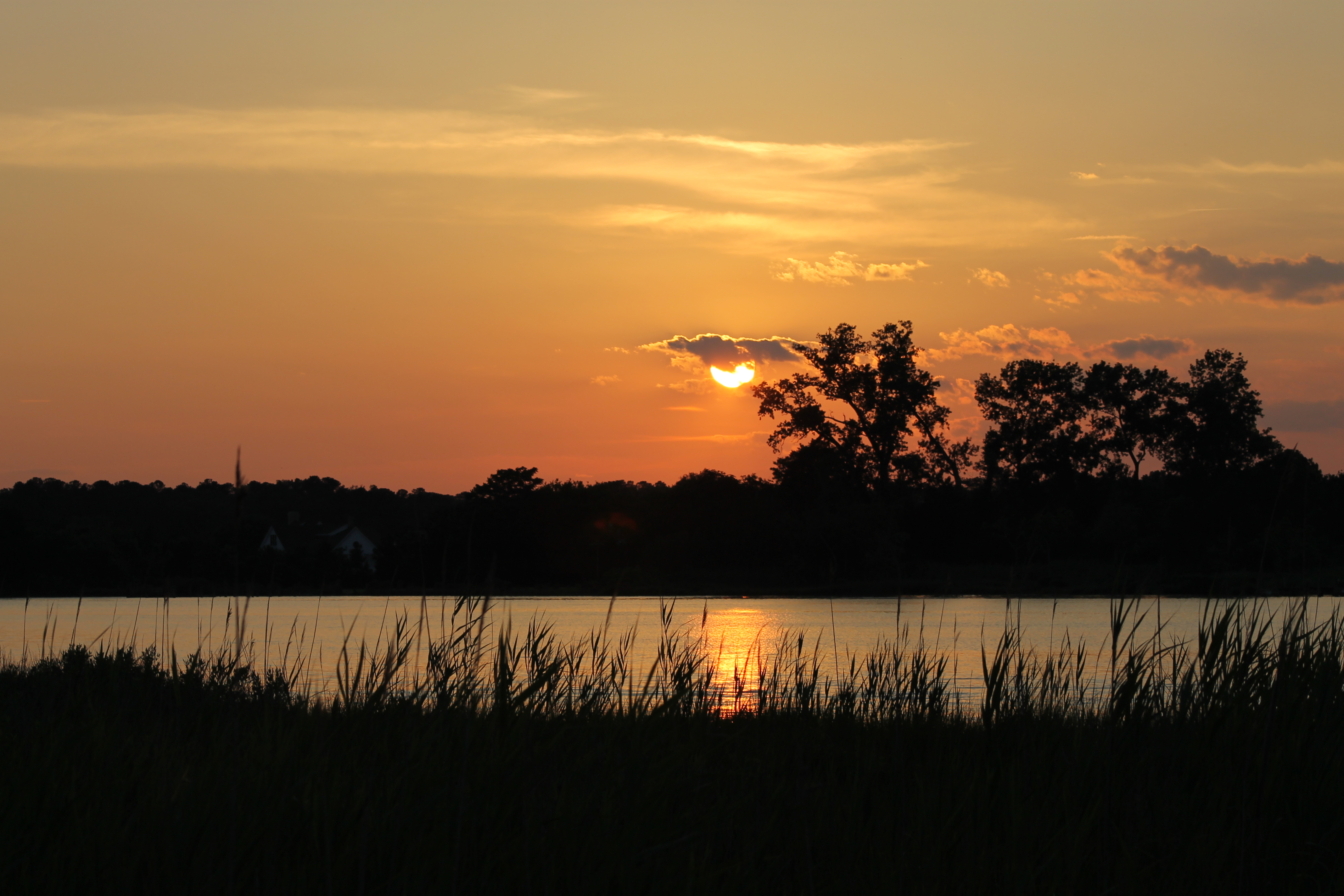
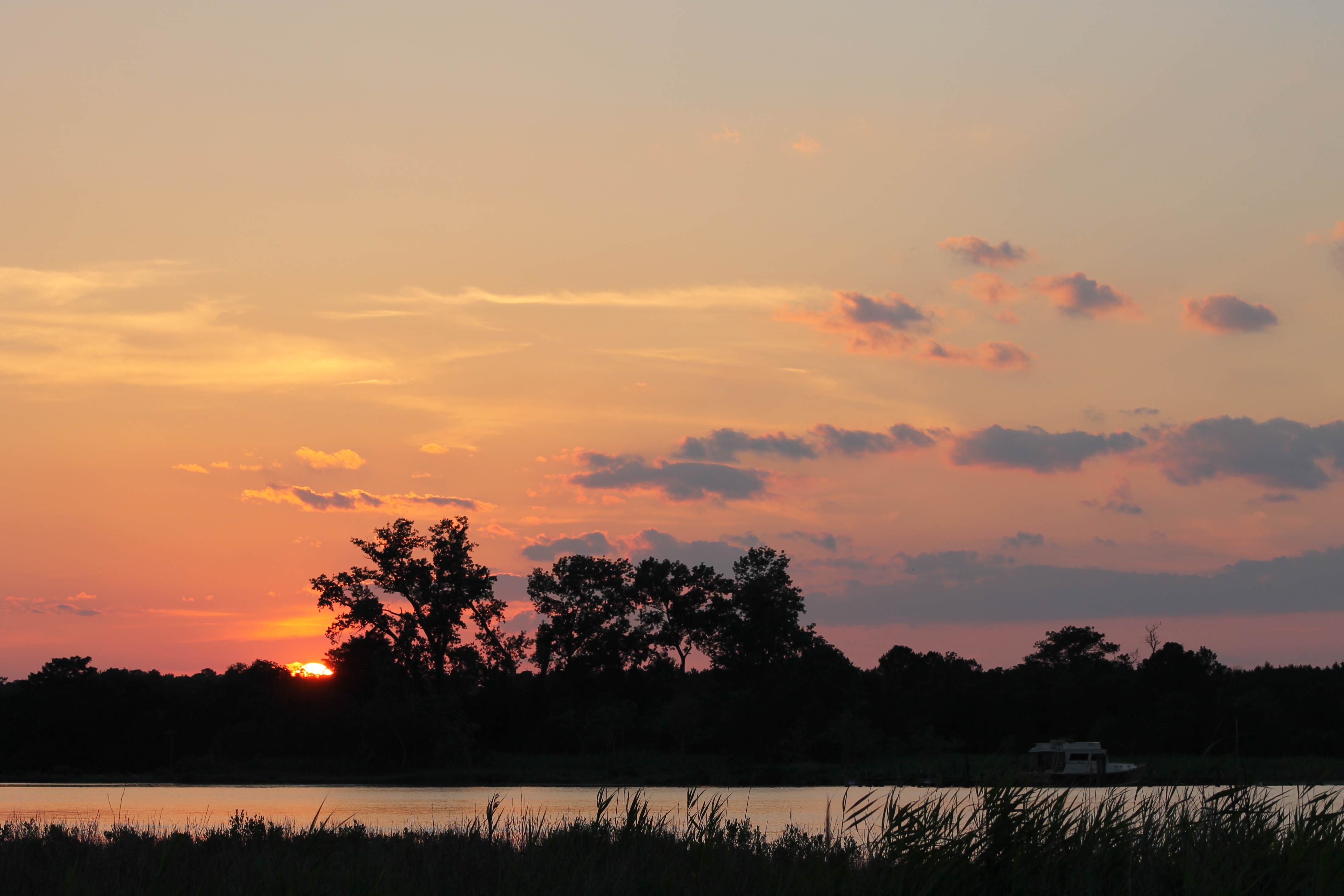
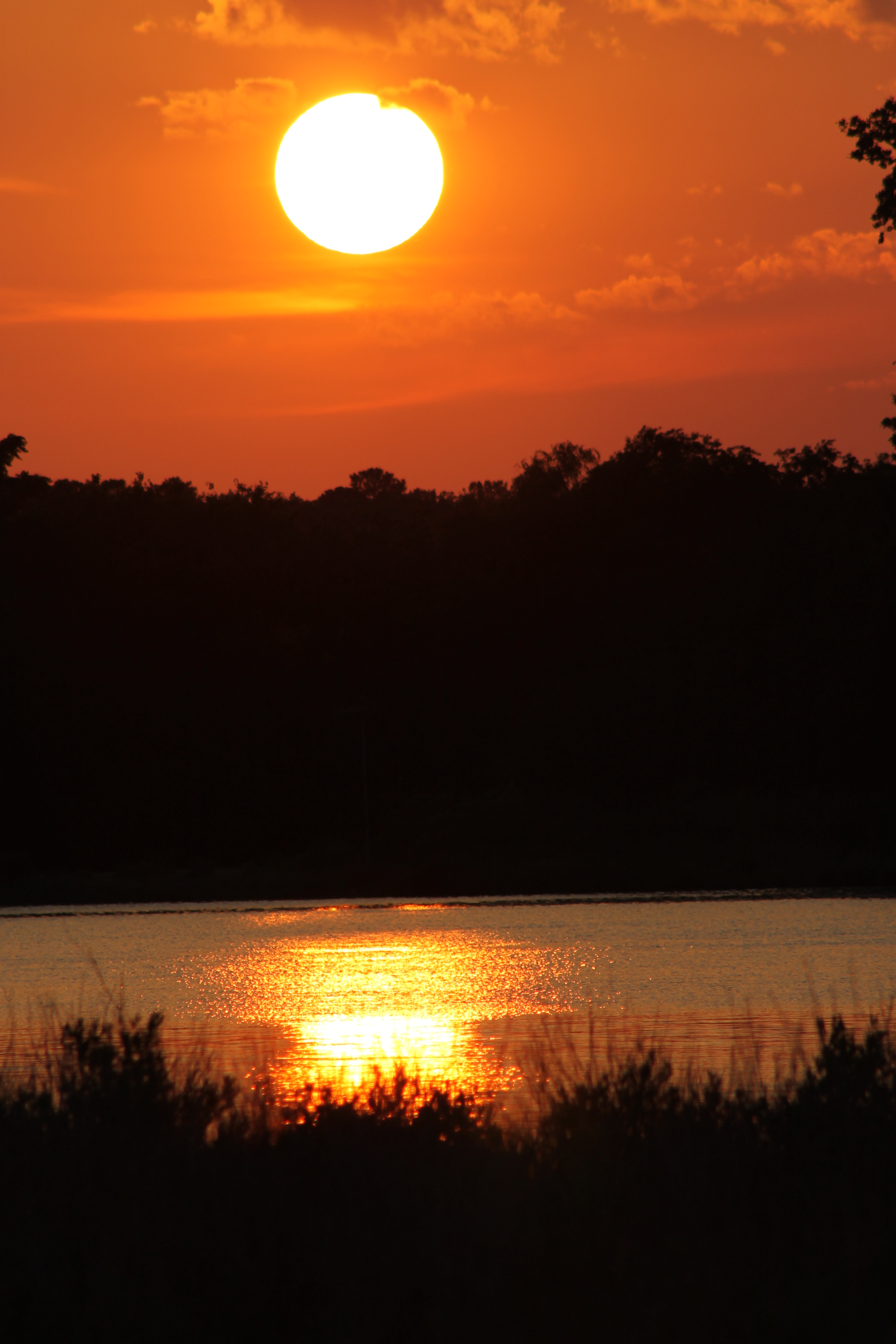
写真

Winter's Grasp

Cove Rd. Nanticoke Md.

Sunset 5
Sunset 3

Sunset 2

Tidal Marsh Sunset
Sunset 6
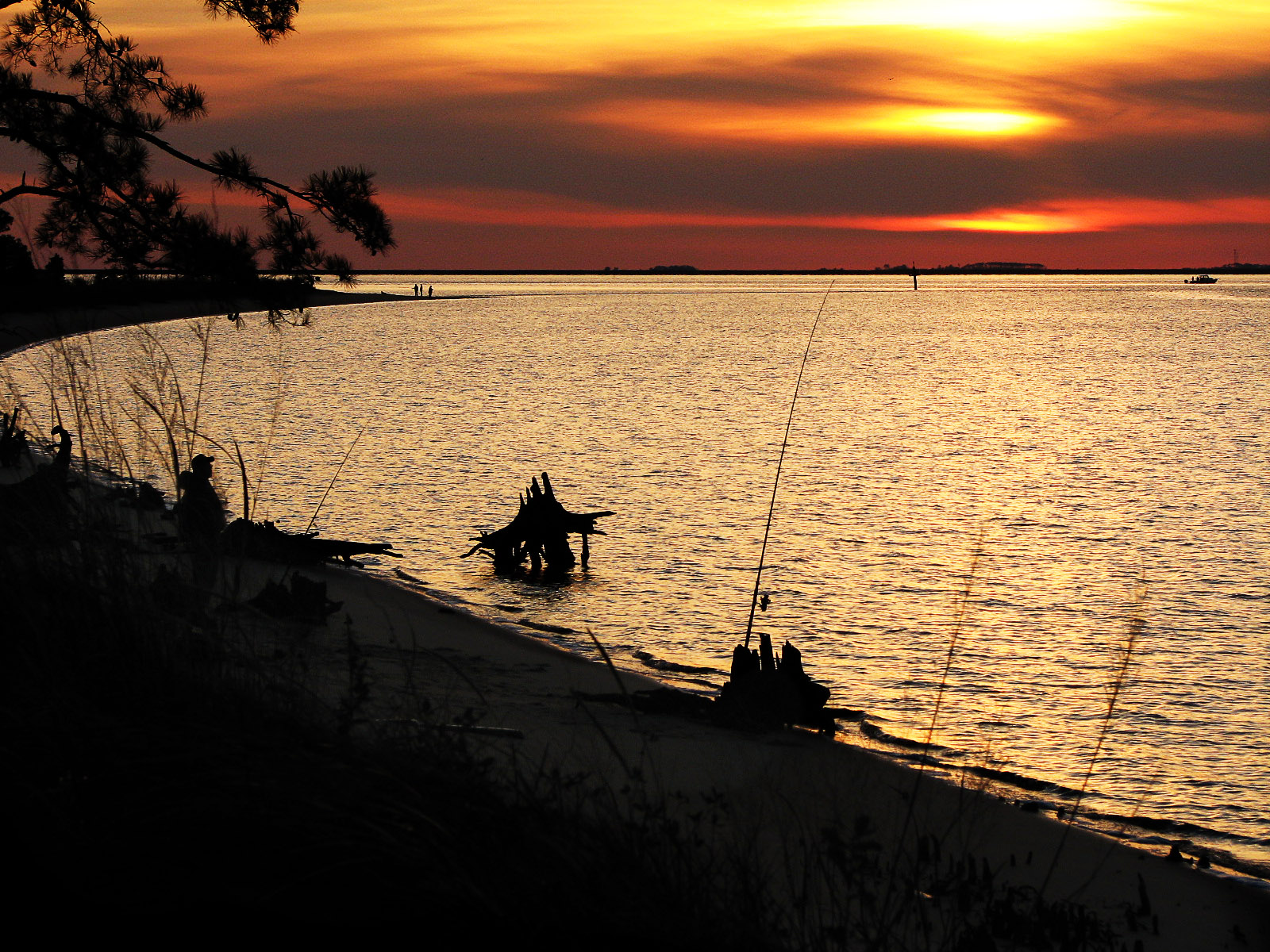
Roaring Point

Safe Harbor Deal Island 1

My Home This Is
Sunset 4
Mt Vernon Rd, Princess Anne, MD アメリカ合衆国の地図
別の場所を検索
近所の場所
アメリカ合衆国 〒 メリーランド州 マウント・ヴァーノン
Steele Dr, Tyaskin, MD アメリカ合衆国
Clara Rd, Tyaskin, MD アメリカ合衆国
アメリカ合衆国 〒 メリーランド州 タイアスキン
アメリカ合衆国 〒 メリーランド州 ホワイトヘブン
Whitehaven Rd, Tyaskin, MD アメリカ合衆国
Deal Island Rd, Princess Anne, MD アメリカ合衆国
アメリカ合衆国 〒 メリーランド州 5, マウント・ヴァーノン
Nanticoke Rd, Tyaskin, MD アメリカ合衆国
アメリカ合衆国 〒 メリーランド州 2, セント・ピーターズ
アメリカ合衆国 メリーランド州 17, ウェストサイド
Nanticoke Rd, Nanticoke, MD アメリカ合衆国
アメリカ合衆国 〒 メリーランド州 ナンティコーク
Chesapeake Dr, Nanticoke, MD アメリカ合衆国
Nanticoke Dr, Nanticoke, MD アメリカ合衆国
アメリカ合衆国 〒 メリーランド州 ビバルブ
Nanticoke Rd, Bivalve, MD アメリカ合衆国
アメリカ合衆国 メリーランド州 ダム・クォーター
Sunset Dr, Tyaskin, MD アメリカ合衆国
アメリカ合衆国 メリーランド州 1, ウェスト・プリンセス・アン
最近の検索
- The Point Overlook Vista Access Trail, The Point Overlook Vis Acc Trl, Virginia, USA日の出日の入り時間
- 6 Muir St, Medowie NSW, Australia日の出日の入り時間
- Turner Mill Rd, Talladega, AL アメリカ合衆国日の出日の入り時間
- Dogwood Ln, Millsboro, DE アメリカ合衆国日の出日の入り時間
- スペイン 〒 グラナダ プルチル日の出日の入り時間
- Pacific View Dr, Malibu, CA アメリカ合衆国日の出日の入り時間
- 日本、〒- 神奈川県横浜市青葉区青葉台1丁目11−4日の出日の入り時間
- ブラジル リオグランデ・ド・スル州 エルドラド・ド・スー日の出日の入り時間
- ブラジル 〒- リオグランデ・ド・スル州 エルドラド・ド・スー パルケ・エルドラド日の出日の入り時間
- コロンビア メタ グラナダ日の出日の入り時間