Mt Air Rd, Newburg, MD アメリカ合衆国日の出日の入り時間
Location: アメリカ合衆国 > メリーランド州 > チャールズ > アレンズ・フレッシュ >
時間帯:
America/New_York
現地時間:
2024-04-29 10:19:01
経度:
-77.004668
緯度:
38.434913
今日の日の出時刻:
06:12:10 AM
今日の日の入時刻:
07:58:20 PM
今日の日長:
13h 46m 10s
明日の日の出時刻:
06:10:58 AM
明日の日の入時刻:
07:59:17 PM
明日の日長:
13h 48m 19s
すべて表示する
| 日付 | 日出 | 日没 | 日長 |
|---|---|---|---|
| 2024年01月01日 | 07:25:16 AM | 04:58:17 PM | 9h 33m 1s |
| 2024年01月02日 | 07:25:22 AM | 04:59:07 PM | 9h 33m 45s |
| 2024年01月03日 | 07:25:27 AM | 04:59:57 PM | 9h 34m 30s |
| 2024年01月04日 | 07:25:29 AM | 05:00:49 PM | 9h 35m 20s |
| 2024年01月05日 | 07:25:29 AM | 05:01:43 PM | 9h 36m 14s |
| 2024年01月06日 | 07:25:27 AM | 05:02:37 PM | 9h 37m 10s |
| 2024年01月07日 | 07:25:23 AM | 05:03:33 PM | 9h 38m 10s |
| 2024年01月08日 | 07:25:17 AM | 05:04:30 PM | 9h 39m 13s |
| 2024年01月09日 | 07:25:08 AM | 05:05:27 PM | 9h 40m 19s |
| 2024年01月10日 | 07:24:58 AM | 05:06:26 PM | 9h 41m 28s |
| 2024年01月11日 | 07:24:46 AM | 05:07:26 PM | 9h 42m 40s |
| 2024年01月12日 | 07:24:31 AM | 05:08:26 PM | 9h 43m 55s |
| 2024年01月13日 | 07:24:14 AM | 05:09:28 PM | 9h 45m 14s |
| 2024年01月14日 | 07:23:55 AM | 05:10:30 PM | 9h 46m 35s |
| 2024年01月15日 | 07:23:35 AM | 05:11:33 PM | 9h 47m 58s |
| 2024年01月16日 | 07:23:12 AM | 05:12:37 PM | 9h 49m 25s |
| 2024年01月17日 | 07:22:47 AM | 05:13:41 PM | 9h 50m 54s |
| 2024年01月18日 | 07:22:20 AM | 05:14:46 PM | 9h 52m 26s |
| 2024年01月19日 | 07:21:51 AM | 05:15:51 PM | 9h 54m 0s |
| 2024年01月20日 | 07:21:20 AM | 05:16:57 PM | 9h 55m 37s |
| 2024年01月21日 | 07:20:47 AM | 05:18:04 PM | 9h 57m 17s |
| 2024年01月22日 | 07:20:12 AM | 05:19:10 PM | 9h 58m 58s |
| 2024年01月23日 | 07:19:36 AM | 05:20:17 PM | 10h 0m 41s |
| 2024年01月24日 | 07:18:57 AM | 05:21:25 PM | 10h 2m 28s |
| 2024年01月25日 | 07:18:17 AM | 05:22:33 PM | 10h 4m 16s |
| 2024年01月26日 | 07:17:34 AM | 05:23:40 PM | 10h 6m 6s |
| 2024年01月27日 | 07:16:50 AM | 05:24:49 PM | 10h 7m 59s |
| 2024年01月28日 | 07:16:04 AM | 05:25:57 PM | 10h 9m 53s |
| 2024年01月29日 | 07:15:17 AM | 05:27:05 PM | 10h 11m 48s |
| 2024年01月30日 | 07:14:27 AM | 05:28:14 PM | 10h 13m 47s |
| 2024年01月31日 | 07:13:36 AM | 05:29:22 PM | 10h 15m 46s |
| 2024年02月01日 | 07:12:44 AM | 05:30:31 PM | 10h 17m 47s |
| 2024年02月02日 | 07:11:50 AM | 05:31:39 PM | 10h 19m 49s |
| 2024年02月03日 | 07:10:54 AM | 05:32:48 PM | 10h 21m 54s |
| 2024年02月04日 | 07:09:56 AM | 05:33:56 PM | 10h 24m 0s |
| 2024年02月05日 | 07:08:57 AM | 05:35:04 PM | 10h 26m 7s |
| 2024年02月06日 | 07:07:57 AM | 05:36:13 PM | 10h 28m 16s |
| 2024年02月07日 | 07:06:55 AM | 05:37:21 PM | 10h 30m 26s |
| 2024年02月08日 | 07:05:52 AM | 05:38:29 PM | 10h 32m 37s |
| 2024年02月09日 | 07:04:47 AM | 05:39:36 PM | 10h 34m 49s |
| 2024年02月10日 | 07:03:41 AM | 05:40:44 PM | 10h 37m 3s |
| 2024年02月11日 | 07:02:34 AM | 05:41:51 PM | 10h 39m 17s |
| 2024年02月12日 | 07:01:25 AM | 05:42:58 PM | 10h 41m 33s |
| 2024年02月13日 | 07:00:15 AM | 05:44:05 PM | 10h 43m 50s |
| 2024年02月14日 | 06:59:04 AM | 05:45:12 PM | 10h 46m 8s |
| 2024年02月15日 | 06:57:52 AM | 05:46:18 PM | 10h 48m 26s |
| 2024年02月16日 | 06:56:38 AM | 05:47:24 PM | 10h 50m 46s |
| 2024年02月17日 | 06:55:24 AM | 05:48:30 PM | 10h 53m 6s |
| 2024年02月18日 | 06:54:08 AM | 05:49:35 PM | 10h 55m 27s |
| 2024年02月19日 | 06:52:51 AM | 05:50:41 PM | 10h 57m 50s |
| 2024年02月20日 | 06:51:33 AM | 05:51:45 PM | 11h 0m 12s |
| 2024年02月21日 | 06:50:15 AM | 05:52:50 PM | 11h 2m 35s |
| 2024年02月22日 | 06:48:55 AM | 05:53:54 PM | 11h 4m 59s |
| 2024年02月23日 | 06:47:34 AM | 05:54:58 PM | 11h 7m 24s |
| 2024年02月24日 | 06:46:13 AM | 05:56:02 PM | 11h 9m 49s |
| 2024年02月25日 | 06:44:51 AM | 05:57:05 PM | 11h 12m 14s |
| 2024年02月26日 | 06:43:28 AM | 05:58:08 PM | 11h 14m 40s |
| 2024年02月27日 | 06:42:04 AM | 05:59:11 PM | 11h 17m 7s |
| 2024年02月28日 | 06:40:39 AM | 06:00:13 PM | 11h 19m 34s |
| 2024年02月29日 | 06:39:14 AM | 06:01:15 PM | 11h 22m 1s |
| 2024年03月01日 | 06:37:47 AM | 06:02:17 PM | 11h 24m 30s |
| 2024年03月02日 | 06:36:21 AM | 06:03:18 PM | 11h 26m 57s |
| 2024年03月03日 | 06:34:53 AM | 06:04:20 PM | 11h 29m 27s |
| 2024年03月04日 | 06:33:26 AM | 06:05:20 PM | 11h 31m 54s |
| 2024年03月05日 | 06:31:57 AM | 06:06:21 PM | 11h 34m 24s |
| 2024年03月06日 | 06:30:28 AM | 06:07:21 PM | 11h 36m 53s |
| 2024年03月07日 | 06:28:59 AM | 06:08:21 PM | 11h 39m 22s |
| 2024年03月08日 | 06:27:29 AM | 06:09:21 PM | 11h 41m 52s |
| 2024年03月09日 | 06:25:58 AM | 06:10:21 PM | 11h 44m 23s |
| 2024年03月10日 | 07:24:31 AM | 07:11:17 PM | 11h 46m 46s |
| 2024年03月11日 | 07:23:00 AM | 07:12:17 PM | 11h 49m 17s |
| 2024年03月12日 | 07:21:29 AM | 07:13:15 PM | 11h 51m 46s |
| 2024年03月13日 | 07:19:57 AM | 07:14:14 PM | 11h 54m 17s |
| 2024年03月14日 | 07:18:25 AM | 07:15:12 PM | 11h 56m 47s |
| 2024年03月15日 | 07:16:52 AM | 07:16:11 PM | 11h 59m 19s |
| 2024年03月16日 | 07:15:20 AM | 07:17:09 PM | 12h 1m 49s |
| 2024年03月17日 | 07:13:47 AM | 07:18:07 PM | 12h 4m 20s |
| 2024年03月18日 | 07:12:14 AM | 07:19:04 PM | 12h 6m 50s |
| 2024年03月19日 | 07:10:41 AM | 07:20:02 PM | 12h 9m 21s |
| 2024年03月20日 | 07:09:08 AM | 07:20:59 PM | 12h 11m 51s |
| 2024年03月21日 | 07:07:35 AM | 07:21:57 PM | 12h 14m 22s |
| 2024年03月22日 | 07:06:02 AM | 07:22:54 PM | 12h 16m 52s |
| 2024年03月23日 | 07:04:29 AM | 07:23:51 PM | 12h 19m 22s |
| 2024年03月24日 | 07:02:56 AM | 07:24:48 PM | 12h 21m 52s |
| 2024年03月25日 | 07:01:23 AM | 07:25:45 PM | 12h 24m 22s |
| 2024年03月26日 | 06:59:50 AM | 07:26:41 PM | 12h 26m 51s |
| 2024年03月27日 | 06:58:17 AM | 07:27:38 PM | 12h 29m 21s |
| 2024年03月28日 | 06:56:44 AM | 07:28:35 PM | 12h 31m 51s |
| 2024年03月29日 | 06:55:11 AM | 07:29:31 PM | 12h 34m 20s |
| 2024年03月30日 | 06:53:39 AM | 07:30:28 PM | 12h 36m 49s |
| 2024年03月31日 | 06:52:07 AM | 07:31:24 PM | 12h 39m 17s |
| 2024年04月01日 | 06:50:35 AM | 07:32:21 PM | 12h 41m 46s |
| 2024年04月02日 | 06:49:03 AM | 07:33:17 PM | 12h 44m 14s |
| 2024年04月03日 | 06:47:32 AM | 07:34:14 PM | 12h 46m 42s |
| 2024年04月04日 | 06:46:01 AM | 07:35:10 PM | 12h 49m 9s |
| 2024年04月05日 | 06:44:31 AM | 07:36:07 PM | 12h 51m 36s |
| 2024年04月06日 | 06:43:01 AM | 07:37:03 PM | 12h 54m 2s |
| 2024年04月07日 | 06:41:31 AM | 07:38:00 PM | 12h 56m 29s |
| 2024年04月08日 | 06:40:02 AM | 07:38:56 PM | 12h 58m 54s |
| 2024年04月09日 | 06:38:33 AM | 07:39:53 PM | 13h 1m 20s |
| 2024年04月10日 | 06:37:05 AM | 07:40:49 PM | 13h 3m 44s |
| 2024年04月11日 | 06:35:38 AM | 07:41:46 PM | 13h 6m 8s |
| 2024年04月12日 | 06:34:11 AM | 07:42:43 PM | 13h 8m 32s |
| 2024年04月13日 | 06:32:45 AM | 07:43:39 PM | 13h 10m 54s |
| 2024年04月14日 | 06:31:19 AM | 07:44:36 PM | 13h 13m 17s |
| 2024年04月15日 | 06:29:54 AM | 07:45:33 PM | 13h 15m 39s |
| 2024年04月16日 | 06:28:30 AM | 07:46:29 PM | 13h 17m 59s |
| 2024年04月17日 | 06:27:06 AM | 07:47:26 PM | 13h 20m 20s |
| 2024年04月18日 | 06:25:44 AM | 07:48:23 PM | 13h 22m 39s |
| 2024年04月19日 | 06:24:22 AM | 07:49:20 PM | 13h 24m 58s |
| 2024年04月20日 | 06:23:01 AM | 07:50:17 PM | 13h 27m 16s |
| 2024年04月21日 | 06:21:40 AM | 07:51:14 PM | 13h 29m 34s |
| 2024年04月22日 | 06:20:21 AM | 07:52:11 PM | 13h 31m 50s |
| 2024年04月23日 | 06:19:03 AM | 07:53:08 PM | 13h 34m 5s |
| 2024年04月24日 | 06:17:45 AM | 07:54:05 PM | 13h 36m 20s |
| 2024年04月25日 | 06:16:29 AM | 07:55:02 PM | 13h 38m 33s |
| 2024年04月26日 | 06:15:14 AM | 07:55:58 PM | 13h 40m 44s |
| 2024年04月27日 | 06:13:59 AM | 07:56:55 PM | 13h 42m 56s |
| 2024年04月28日 | 06:12:46 AM | 07:57:52 PM | 13h 45m 6s |
| 2024年04月29日 | 06:11:34 AM | 07:58:49 PM | 13h 47m 15s |
| 2024年04月30日 | 06:10:23 AM | 07:59:45 PM | 13h 49m 22s |
| 2024年05月01日 | 06:09:13 AM | 08:00:42 PM | 13h 51m 29s |
| 2024年05月02日 | 06:08:05 AM | 08:01:39 PM | 13h 53m 34s |
| 2024年05月03日 | 06:06:57 AM | 08:02:35 PM | 13h 55m 38s |
| 2024年05月04日 | 06:05:51 AM | 08:03:31 PM | 13h 57m 40s |
| 2024年05月05日 | 06:04:46 AM | 08:04:27 PM | 13h 59m 41s |
| 2024年05月06日 | 06:03:43 AM | 08:05:23 PM | 14h 1m 40s |
| 2024年05月07日 | 06:02:41 AM | 08:06:19 PM | 14h 3m 38s |
| 2024年05月08日 | 06:01:40 AM | 08:07:14 PM | 14h 5m 34s |
| 2024年05月09日 | 06:00:41 AM | 08:08:09 PM | 14h 7m 28s |
| 2024年05月10日 | 05:59:43 AM | 08:09:04 PM | 14h 9m 21s |
| 2024年05月11日 | 05:58:46 AM | 08:09:59 PM | 14h 11m 13s |
| 2024年05月12日 | 05:57:51 AM | 08:10:53 PM | 14h 13m 2s |
| 2024年05月13日 | 05:56:58 AM | 08:11:47 PM | 14h 14m 49s |
| 2024年05月14日 | 05:56:06 AM | 08:12:40 PM | 14h 16m 34s |
| 2024年05月15日 | 05:55:15 AM | 08:13:33 PM | 14h 18m 18s |
| 2024年05月16日 | 05:54:26 AM | 08:14:26 PM | 14h 20m 0s |
| 2024年05月17日 | 05:53:39 AM | 08:15:18 PM | 14h 21m 39s |
| 2024年05月18日 | 05:52:54 AM | 08:16:09 PM | 14h 23m 15s |
| 2024年05月19日 | 05:52:10 AM | 08:17:00 PM | 14h 24m 50s |
| 2024年05月20日 | 05:51:27 AM | 08:17:50 PM | 14h 26m 23s |
| 2024年05月21日 | 05:50:47 AM | 08:18:40 PM | 14h 27m 53s |
| 2024年05月22日 | 05:50:08 AM | 08:19:29 PM | 14h 29m 21s |
| 2024年05月23日 | 05:49:31 AM | 08:20:18 PM | 14h 30m 47s |
| 2024年05月24日 | 05:48:55 AM | 08:21:05 PM | 14h 32m 10s |
| 2024年05月25日 | 05:48:22 AM | 08:21:52 PM | 14h 33m 30s |
| 2024年05月26日 | 05:47:50 AM | 08:22:38 PM | 14h 34m 48s |
| 2024年05月27日 | 05:47:20 AM | 08:23:23 PM | 14h 36m 3s |
| 2024年05月28日 | 05:46:51 AM | 08:24:07 PM | 14h 37m 16s |
| 2024年05月29日 | 05:46:25 AM | 08:24:51 PM | 14h 38m 26s |
| 2024年05月30日 | 05:46:00 AM | 08:25:33 PM | 14h 39m 33s |
| 2024年05月31日 | 05:45:37 AM | 08:26:14 PM | 14h 40m 37s |
| 2024年06月01日 | 05:45:16 AM | 08:26:54 PM | 14h 41m 38s |
| 2024年06月02日 | 05:44:57 AM | 08:27:33 PM | 14h 42m 36s |
| 2024年06月03日 | 05:44:40 AM | 08:28:11 PM | 14h 43m 31s |
| 2024年06月04日 | 05:44:25 AM | 08:28:48 PM | 14h 44m 23s |
| 2024年06月05日 | 05:44:11 AM | 08:29:24 PM | 14h 45m 13s |
| 2024年06月06日 | 05:43:59 AM | 08:29:58 PM | 14h 45m 59s |
| 2024年06月07日 | 05:43:49 AM | 08:30:31 PM | 14h 46m 42s |
| 2024年06月08日 | 05:43:41 AM | 08:31:03 PM | 14h 47m 22s |
| 2024年06月09日 | 05:43:35 AM | 08:31:33 PM | 14h 47m 58s |
| 2024年06月10日 | 05:43:30 AM | 08:32:02 PM | 14h 48m 32s |
| 2024年06月11日 | 05:43:28 AM | 08:32:29 PM | 14h 49m 1s |
| 2024年06月12日 | 05:43:27 AM | 08:32:55 PM | 14h 49m 28s |
| 2024年06月13日 | 05:43:28 AM | 08:33:19 PM | 14h 49m 51s |
| 2024年06月14日 | 05:43:31 AM | 08:33:42 PM | 14h 50m 11s |
| 2024年06月15日 | 05:43:35 AM | 08:34:04 PM | 14h 50m 29s |
| 2024年06月16日 | 05:43:42 AM | 08:34:23 PM | 14h 50m 41s |
| 2024年06月17日 | 05:43:50 AM | 08:34:41 PM | 14h 50m 51s |
| 2024年06月18日 | 05:43:59 AM | 08:34:58 PM | 14h 50m 59s |
| 2024年06月19日 | 05:44:11 AM | 08:35:13 PM | 14h 51m 2s |
| 2024年06月20日 | 05:44:24 AM | 08:35:26 PM | 14h 51m 2s |
| 2024年06月21日 | 05:44:39 AM | 08:35:37 PM | 14h 50m 58s |
| 2024年06月22日 | 05:44:55 AM | 08:35:47 PM | 14h 50m 52s |
| 2024年06月23日 | 05:45:13 AM | 08:35:54 PM | 14h 50m 41s |
| 2024年06月24日 | 05:45:33 AM | 08:36:00 PM | 14h 50m 27s |
| 2024年06月25日 | 05:45:54 AM | 08:36:04 PM | 14h 50m 10s |
| 2024年06月26日 | 05:46:16 AM | 08:36:07 PM | 14h 49m 51s |
| 2024年06月27日 | 05:46:40 AM | 08:36:07 PM | 14h 49m 27s |
| 2024年06月28日 | 05:47:06 AM | 08:36:06 PM | 14h 49m 0s |
| 2024年06月29日 | 05:47:32 AM | 08:36:03 PM | 14h 48m 31s |
| 2024年06月30日 | 05:48:01 AM | 08:35:58 PM | 14h 47m 57s |
| 2024年07月01日 | 05:48:30 AM | 08:35:51 PM | 14h 47m 21s |
| 2024年07月02日 | 05:49:01 AM | 08:35:42 PM | 14h 46m 41s |
| 2024年07月03日 | 05:49:33 AM | 08:35:31 PM | 14h 45m 58s |
| 2024年07月04日 | 05:50:07 AM | 08:35:18 PM | 14h 45m 11s |
| 2024年07月05日 | 05:50:41 AM | 08:35:04 PM | 14h 44m 23s |
| 2024年07月06日 | 05:51:17 AM | 08:34:47 PM | 14h 43m 30s |
| 2024年07月07日 | 05:51:54 AM | 08:34:29 PM | 14h 42m 35s |
| 2024年07月08日 | 05:52:31 AM | 08:34:09 PM | 14h 41m 38s |
| 2024年07月09日 | 05:53:10 AM | 08:33:47 PM | 14h 40m 37s |
| 2024年07月10日 | 05:53:50 AM | 08:33:23 PM | 14h 39m 33s |
| 2024年07月11日 | 05:54:31 AM | 08:32:57 PM | 14h 38m 26s |
| 2024年07月12日 | 05:55:13 AM | 08:32:30 PM | 14h 37m 17s |
| 2024年07月13日 | 05:55:55 AM | 08:32:00 PM | 14h 36m 5s |
| 2024年07月14日 | 05:56:38 AM | 08:31:29 PM | 14h 34m 51s |
| 2024年07月15日 | 05:57:23 AM | 08:30:56 PM | 14h 33m 33s |
| 2024年07月16日 | 05:58:08 AM | 08:30:21 PM | 14h 32m 13s |
| 2024年07月17日 | 05:58:53 AM | 08:29:44 PM | 14h 30m 51s |
| 2024年07月18日 | 05:59:39 AM | 08:29:06 PM | 14h 29m 27s |
| 2024年07月19日 | 06:00:26 AM | 08:28:26 PM | 14h 28m 0s |
| 2024年07月20日 | 06:01:14 AM | 08:27:44 PM | 14h 26m 30s |
| 2024年07月21日 | 06:02:02 AM | 08:27:00 PM | 14h 24m 58s |
| 2024年07月22日 | 06:02:51 AM | 08:26:15 PM | 14h 23m 24s |
| 2024年07月23日 | 06:03:40 AM | 08:25:28 PM | 14h 21m 48s |
| 2024年07月24日 | 06:04:29 AM | 08:24:39 PM | 14h 20m 10s |
| 2024年07月25日 | 06:05:19 AM | 08:23:49 PM | 14h 18m 30s |
| 2024年07月26日 | 06:06:10 AM | 08:22:57 PM | 14h 16m 47s |
| 2024年07月27日 | 06:07:01 AM | 08:22:04 PM | 14h 15m 3s |
| 2024年07月28日 | 06:07:52 AM | 08:21:09 PM | 14h 13m 17s |
| 2024年07月29日 | 06:08:43 AM | 08:20:12 PM | 14h 11m 29s |
| 2024年07月30日 | 06:09:35 AM | 08:19:14 PM | 14h 9m 39s |
| 2024年07月31日 | 06:10:27 AM | 08:18:15 PM | 14h 7m 48s |
| 2024年08月01日 | 06:11:19 AM | 08:17:14 PM | 14h 5m 55s |
| 2024年08月02日 | 06:12:11 AM | 08:16:11 PM | 14h 4m 0s |
| 2024年08月03日 | 06:13:04 AM | 08:15:08 PM | 14h 2m 4s |
| 2024年08月04日 | 06:13:57 AM | 08:14:03 PM | 14h 0m 6s |
| 2024年08月05日 | 06:14:50 AM | 08:12:56 PM | 13h 58m 6s |
| 2024年08月06日 | 06:15:42 AM | 08:11:49 PM | 13h 56m 7s |
| 2024年08月07日 | 06:16:36 AM | 08:10:40 PM | 13h 54m 4s |
| 2024年08月08日 | 06:17:29 AM | 08:09:29 PM | 13h 52m 0s |
| 2024年08月09日 | 06:18:22 AM | 08:08:18 PM | 13h 49m 56s |
| 2024年08月10日 | 06:19:15 AM | 08:07:05 PM | 13h 47m 50s |
| 2024年08月11日 | 06:20:08 AM | 08:05:52 PM | 13h 45m 44s |
| 2024年08月12日 | 06:21:02 AM | 08:04:37 PM | 13h 43m 35s |
| 2024年08月13日 | 06:21:55 AM | 08:03:21 PM | 13h 41m 26s |
| 2024年08月14日 | 06:22:48 AM | 08:02:04 PM | 13h 39m 16s |
| 2024年08月15日 | 06:23:41 AM | 08:00:46 PM | 13h 37m 5s |
| 2024年08月16日 | 06:24:35 AM | 07:59:27 PM | 13h 34m 52s |
| 2024年08月17日 | 06:25:28 AM | 07:58:07 PM | 13h 32m 39s |
| 2024年08月18日 | 06:26:21 AM | 07:56:46 PM | 13h 30m 25s |
| 2024年08月19日 | 06:27:14 AM | 07:55:24 PM | 13h 28m 10s |
| 2024年08月20日 | 06:28:07 AM | 07:54:01 PM | 13h 25m 54s |
| 2024年08月21日 | 06:29:00 AM | 07:52:37 PM | 13h 23m 37s |
| 2024年08月22日 | 06:29:53 AM | 07:51:13 PM | 13h 21m 20s |
| 2024年08月23日 | 06:30:46 AM | 07:49:48 PM | 13h 19m 2s |
| 2024年08月24日 | 06:31:39 AM | 07:48:22 PM | 13h 16m 43s |
| 2024年08月25日 | 06:32:31 AM | 07:46:55 PM | 13h 14m 24s |
| 2024年08月26日 | 06:33:24 AM | 07:45:28 PM | 13h 12m 4s |
| 2024年08月27日 | 06:34:17 AM | 07:44:00 PM | 13h 9m 43s |
| 2024年08月28日 | 06:35:09 AM | 07:42:31 PM | 13h 7m 22s |
| 2024年08月29日 | 06:36:02 AM | 07:41:02 PM | 13h 5m 0s |
| 2024年08月30日 | 06:36:54 AM | 07:39:32 PM | 13h 2m 38s |
| 2024年08月31日 | 06:37:46 AM | 07:38:01 PM | 13h 0m 15s |
| 2024年09月01日 | 06:38:39 AM | 07:36:30 PM | 12h 57m 51s |
| 2024年09月02日 | 06:39:31 AM | 07:34:59 PM | 12h 55m 28s |
| 2024年09月03日 | 06:40:23 AM | 07:33:27 PM | 12h 53m 4s |
| 2024年09月04日 | 06:41:15 AM | 07:31:54 PM | 12h 50m 39s |
| 2024年09月05日 | 06:42:08 AM | 07:30:22 PM | 12h 48m 14s |
| 2024年09月06日 | 06:43:00 AM | 07:28:48 PM | 12h 45m 48s |
| 2024年09月07日 | 06:43:52 AM | 07:27:15 PM | 12h 43m 23s |
| 2024年09月08日 | 06:44:44 AM | 07:25:41 PM | 12h 40m 57s |
| 2024年09月09日 | 06:45:36 AM | 07:24:07 PM | 12h 38m 31s |
| 2024年09月10日 | 06:46:28 AM | 07:22:33 PM | 12h 36m 5s |
| 2024年09月11日 | 06:47:20 AM | 07:20:58 PM | 12h 33m 38s |
| 2024年09月12日 | 06:48:12 AM | 07:19:23 PM | 12h 31m 11s |
| 2024年09月13日 | 06:49:05 AM | 07:17:48 PM | 12h 28m 43s |
| 2024年09月14日 | 06:49:57 AM | 07:16:13 PM | 12h 26m 16s |
| 2024年09月15日 | 06:50:49 AM | 07:14:38 PM | 12h 23m 49s |
| 2024年09月16日 | 06:51:42 AM | 07:13:03 PM | 12h 21m 21s |
| 2024年09月17日 | 06:52:34 AM | 07:11:27 PM | 12h 18m 53s |
| 2024年09月18日 | 06:53:27 AM | 07:09:52 PM | 12h 16m 25s |
| 2024年09月19日 | 06:54:19 AM | 07:08:17 PM | 12h 13m 58s |
| 2024年09月20日 | 06:55:12 AM | 07:06:41 PM | 12h 11m 29s |
| 2024年09月21日 | 06:56:05 AM | 07:05:06 PM | 12h 9m 1s |
| 2024年09月22日 | 06:56:58 AM | 07:03:31 PM | 12h 6m 33s |
| 2024年09月23日 | 06:57:51 AM | 07:01:56 PM | 12h 4m 5s |
| 2024年09月24日 | 06:58:45 AM | 07:00:21 PM | 12h 1m 36s |
| 2024年09月25日 | 06:59:38 AM | 06:58:46 PM | 11h 59m 8s |
| 2024年09月26日 | 07:00:32 AM | 06:57:12 PM | 11h 56m 40s |
| 2024年09月27日 | 07:01:26 AM | 06:55:37 PM | 11h 54m 11s |
| 2024年09月28日 | 07:02:20 AM | 06:54:03 PM | 11h 51m 43s |
| 2024年09月29日 | 07:03:14 AM | 06:52:30 PM | 11h 49m 16s |
| 2024年09月30日 | 07:04:09 AM | 06:50:56 PM | 11h 46m 47s |
| 2024年10月01日 | 07:05:04 AM | 06:49:23 PM | 11h 44m 19s |
| 2024年10月02日 | 07:05:59 AM | 06:47:51 PM | 11h 41m 52s |
| 2024年10月03日 | 07:06:54 AM | 06:46:19 PM | 11h 39m 25s |
| 2024年10月04日 | 07:07:50 AM | 06:44:47 PM | 11h 36m 57s |
| 2024年10月05日 | 07:08:46 AM | 06:43:16 PM | 11h 34m 30s |
| 2024年10月06日 | 07:09:42 AM | 06:41:45 PM | 11h 32m 3s |
| 2024年10月07日 | 07:10:38 AM | 06:40:15 PM | 11h 29m 37s |
| 2024年10月08日 | 07:11:35 AM | 06:38:45 PM | 11h 27m 10s |
| 2024年10月09日 | 07:12:32 AM | 06:37:16 PM | 11h 24m 44s |
| 2024年10月10日 | 07:13:30 AM | 06:35:48 PM | 11h 22m 18s |
| 2024年10月11日 | 07:14:27 AM | 06:34:20 PM | 11h 19m 53s |
| 2024年10月12日 | 07:15:25 AM | 06:32:53 PM | 11h 17m 28s |
| 2024年10月13日 | 07:16:24 AM | 06:31:27 PM | 11h 15m 3s |
| 2024年10月14日 | 07:17:22 AM | 06:30:02 PM | 11h 12m 40s |
| 2024年10月15日 | 07:18:21 AM | 06:28:37 PM | 11h 10m 16s |
| 2024年10月16日 | 07:19:21 AM | 06:27:13 PM | 11h 7m 52s |
| 2024年10月17日 | 07:20:20 AM | 06:25:50 PM | 11h 5m 30s |
| 2024年10月18日 | 07:21:21 AM | 06:24:28 PM | 11h 3m 7s |
| 2024年10月19日 | 07:22:21 AM | 06:23:07 PM | 11h 0m 46s |
| 2024年10月20日 | 07:23:22 AM | 06:21:47 PM | 10h 58m 25s |
| 2024年10月21日 | 07:24:23 AM | 06:20:28 PM | 10h 56m 5s |
| 2024年10月22日 | 07:25:24 AM | 06:19:10 PM | 10h 53m 46s |
| 2024年10月23日 | 07:26:26 AM | 06:17:53 PM | 10h 51m 27s |
| 2024年10月24日 | 07:27:28 AM | 06:16:37 PM | 10h 49m 9s |
| 2024年10月25日 | 07:28:30 AM | 06:15:22 PM | 10h 46m 52s |
| 2024年10月26日 | 07:29:33 AM | 06:14:09 PM | 10h 44m 36s |
| 2024年10月27日 | 07:30:36 AM | 06:12:56 PM | 10h 42m 20s |
| 2024年10月28日 | 07:31:39 AM | 06:11:45 PM | 10h 40m 6s |
| 2024年10月29日 | 07:32:43 AM | 06:10:35 PM | 10h 37m 52s |
| 2024年10月30日 | 07:33:47 AM | 06:09:27 PM | 10h 35m 40s |
| 2024年10月31日 | 07:34:51 AM | 06:08:19 PM | 10h 33m 28s |
| 2024年11月01日 | 07:35:55 AM | 06:07:13 PM | 10h 31m 18s |
| 2024年11月02日 | 07:36:59 AM | 06:06:09 PM | 10h 29m 10s |
| 2024年11月03日 | 06:38:07 AM | 05:05:03 PM | 10h 26m 56s |
| 2024年11月04日 | 06:39:12 AM | 05:04:02 PM | 10h 24m 50s |
| 2024年11月05日 | 06:40:17 AM | 05:03:02 PM | 10h 22m 45s |
| 2024年11月06日 | 06:41:22 AM | 05:02:04 PM | 10h 20m 42s |
| 2024年11月07日 | 06:42:27 AM | 05:01:07 PM | 10h 18m 40s |
| 2024年11月08日 | 06:43:33 AM | 05:00:11 PM | 10h 16m 38s |
| 2024年11月09日 | 06:44:38 AM | 04:59:18 PM | 10h 14m 40s |
| 2024年11月10日 | 06:45:43 AM | 04:58:26 PM | 10h 12m 43s |
| 2024年11月11日 | 06:46:49 AM | 04:57:36 PM | 10h 10m 47s |
| 2024年11月12日 | 06:47:54 AM | 04:56:47 PM | 10h 8m 53s |
| 2024年11月13日 | 06:49:00 AM | 04:56:00 PM | 10h 7m 0s |
| 2024年11月14日 | 06:50:05 AM | 04:55:16 PM | 10h 5m 11s |
| 2024年11月15日 | 06:51:10 AM | 04:54:32 PM | 10h 3m 22s |
| 2024年11月16日 | 06:52:15 AM | 04:53:51 PM | 10h 1m 36s |
| 2024年11月17日 | 06:53:20 AM | 04:53:12 PM | 9h 59m 52s |
| 2024年11月18日 | 06:54:24 AM | 04:52:34 PM | 9h 58m 10s |
| 2024年11月19日 | 06:55:28 AM | 04:51:59 PM | 9h 56m 31s |
| 2024年11月20日 | 06:56:32 AM | 04:51:25 PM | 9h 54m 53s |
| 2024年11月21日 | 06:57:35 AM | 04:50:54 PM | 9h 53m 19s |
| 2024年11月22日 | 06:58:38 AM | 04:50:24 PM | 9h 51m 46s |
| 2024年11月23日 | 06:59:41 AM | 04:49:56 PM | 9h 50m 15s |
| 2024年11月24日 | 07:00:43 AM | 04:49:31 PM | 9h 48m 48s |
| 2024年11月25日 | 07:01:44 AM | 04:49:07 PM | 9h 47m 23s |
| 2024年11月26日 | 07:02:45 AM | 04:48:46 PM | 9h 46m 1s |
| 2024年11月27日 | 07:03:45 AM | 04:48:27 PM | 9h 44m 42s |
| 2024年11月28日 | 07:04:44 AM | 04:48:10 PM | 9h 43m 26s |
| 2024年11月29日 | 07:05:43 AM | 04:47:55 PM | 9h 42m 12s |
| 2024年11月30日 | 07:06:41 AM | 04:47:42 PM | 9h 41m 1s |
| 2024年12月01日 | 07:07:38 AM | 04:47:31 PM | 9h 39m 53s |
| 2024年12月02日 | 07:08:34 AM | 04:47:22 PM | 9h 38m 48s |
| 2024年12月03日 | 07:09:28 AM | 04:47:16 PM | 9h 37m 48s |
| 2024年12月04日 | 07:10:22 AM | 04:47:11 PM | 9h 36m 49s |
| 2024年12月05日 | 07:11:15 AM | 04:47:09 PM | 9h 35m 54s |
| 2024年12月06日 | 07:12:07 AM | 04:47:09 PM | 9h 35m 2s |
| 2024年12月07日 | 07:12:58 AM | 04:47:11 PM | 9h 34m 13s |
| 2024年12月08日 | 07:13:47 AM | 04:47:16 PM | 9h 33m 29s |
| 2024年12月09日 | 07:14:35 AM | 04:47:22 PM | 9h 32m 47s |
| 2024年12月10日 | 07:15:21 AM | 04:47:31 PM | 9h 32m 10s |
| 2024年12月11日 | 07:16:07 AM | 04:47:41 PM | 9h 31m 34s |
| 2024年12月12日 | 07:16:50 AM | 04:47:54 PM | 9h 31m 4s |
| 2024年12月13日 | 07:17:33 AM | 04:48:09 PM | 9h 30m 36s |
| 2024年12月14日 | 07:18:14 AM | 04:48:26 PM | 9h 30m 12s |
| 2024年12月15日 | 07:18:53 AM | 04:48:45 PM | 9h 29m 52s |
| 2024年12月16日 | 07:19:30 AM | 04:49:06 PM | 9h 29m 36s |
| 2024年12月17日 | 07:20:06 AM | 04:49:29 PM | 9h 29m 23s |
| 2024年12月18日 | 07:20:40 AM | 04:49:55 PM | 9h 29m 15s |
| 2024年12月19日 | 07:21:13 AM | 04:50:22 PM | 9h 29m 9s |
| 2024年12月20日 | 07:21:43 AM | 04:50:51 PM | 9h 29m 8s |
| 2024年12月21日 | 07:22:12 AM | 04:51:21 PM | 9h 29m 9s |
| 2024年12月22日 | 07:22:39 AM | 04:51:54 PM | 9h 29m 15s |
| 2024年12月23日 | 07:23:04 AM | 04:52:29 PM | 9h 29m 25s |
| 2024年12月24日 | 07:23:27 AM | 04:53:05 PM | 9h 29m 38s |
| 2024年12月25日 | 07:23:49 AM | 04:53:43 PM | 9h 29m 54s |
| 2024年12月26日 | 07:24:08 AM | 04:54:23 PM | 9h 30m 15s |
| 2024年12月27日 | 07:24:25 AM | 04:55:04 PM | 9h 30m 39s |
| 2024年12月28日 | 07:24:40 AM | 04:55:47 PM | 9h 31m 7s |
| 2024年12月29日 | 07:24:54 AM | 04:56:32 PM | 9h 31m 38s |
| 2024年12月30日 | 07:25:05 AM | 04:57:18 PM | 9h 32m 13s |
写真

Celtic Cross At Sunset, Chapel Hill, Maryland_F_.jpg

Harry Nice Bridge and Power plant

#sunset

Liquid Gold
56760011.jpg

st. ignatius church
Sunset over Potomac
Dark Sunset Panorama

Sunset 10-16-10 - 001

Dark reflections
power plant sunrise
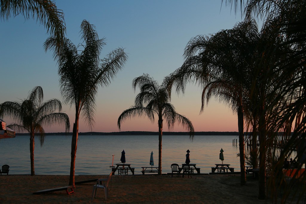
Sunset on the Potomac River
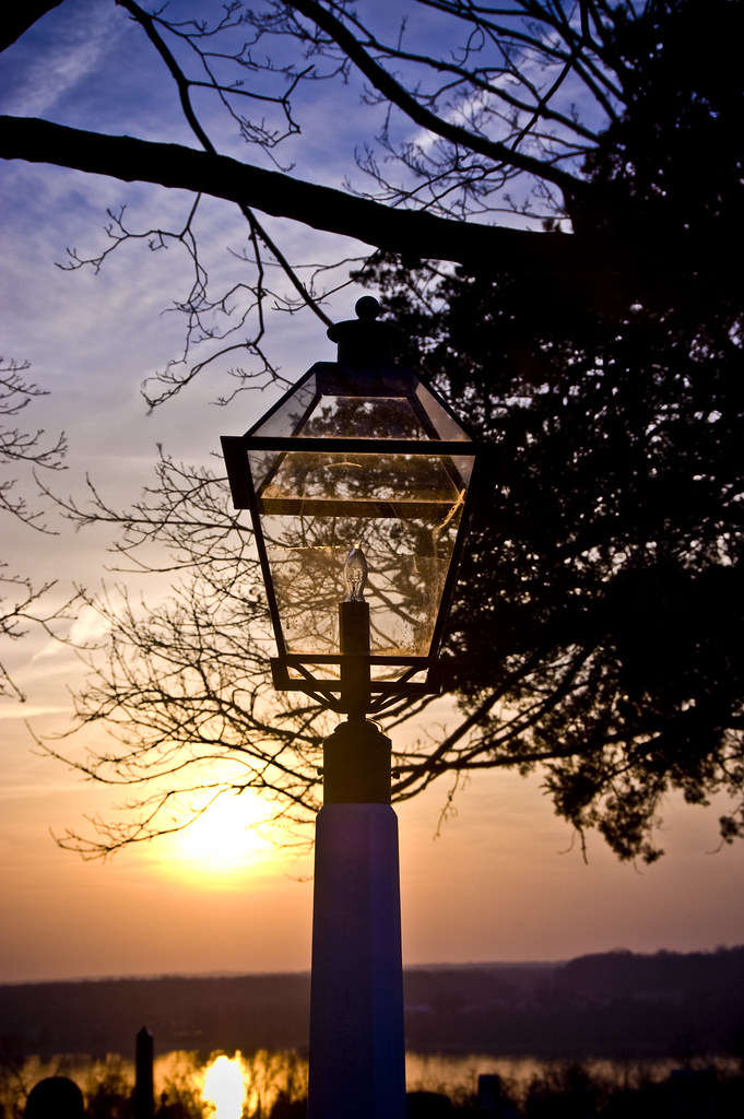
sunset & lamppost

Sunset Potomac 024

all in a row
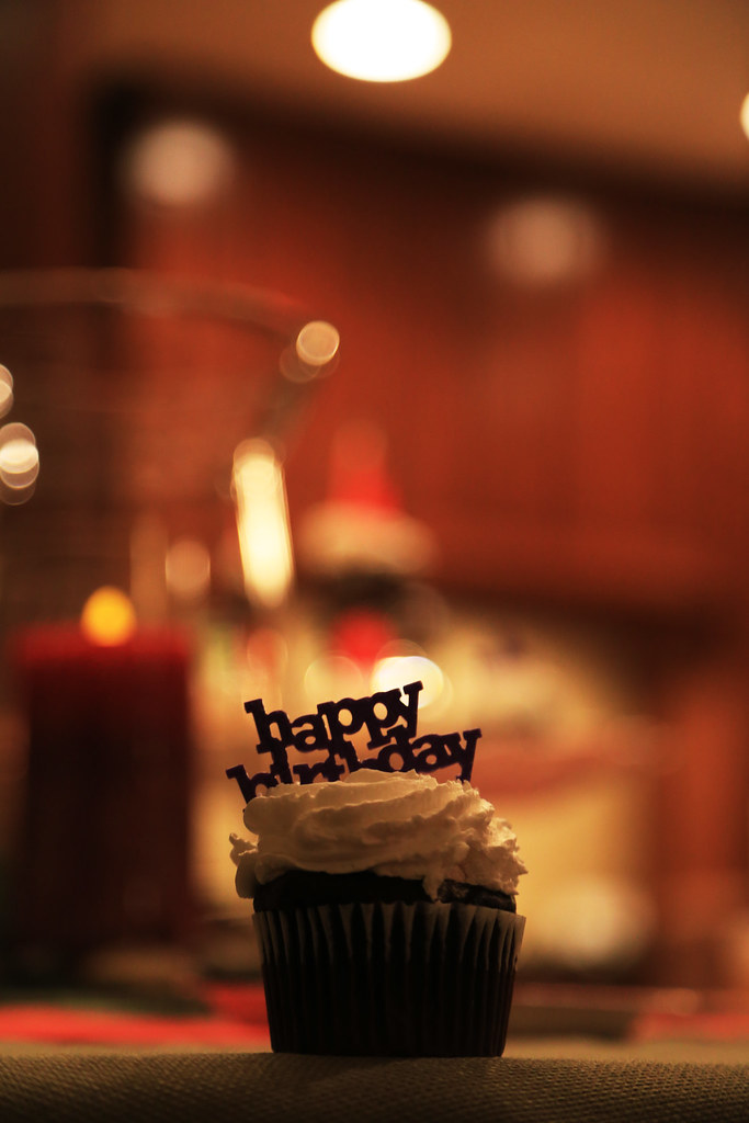
HB cupcake
20100122-_DSC0665
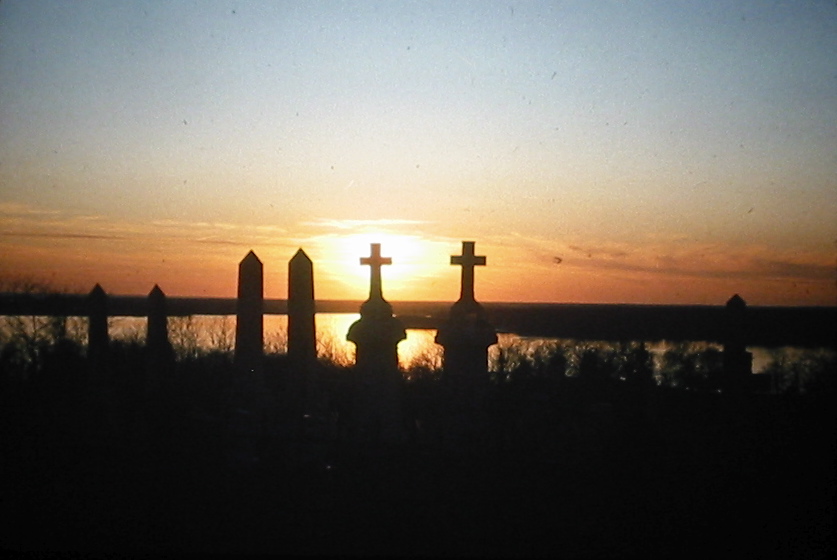
Cemetery Sunset
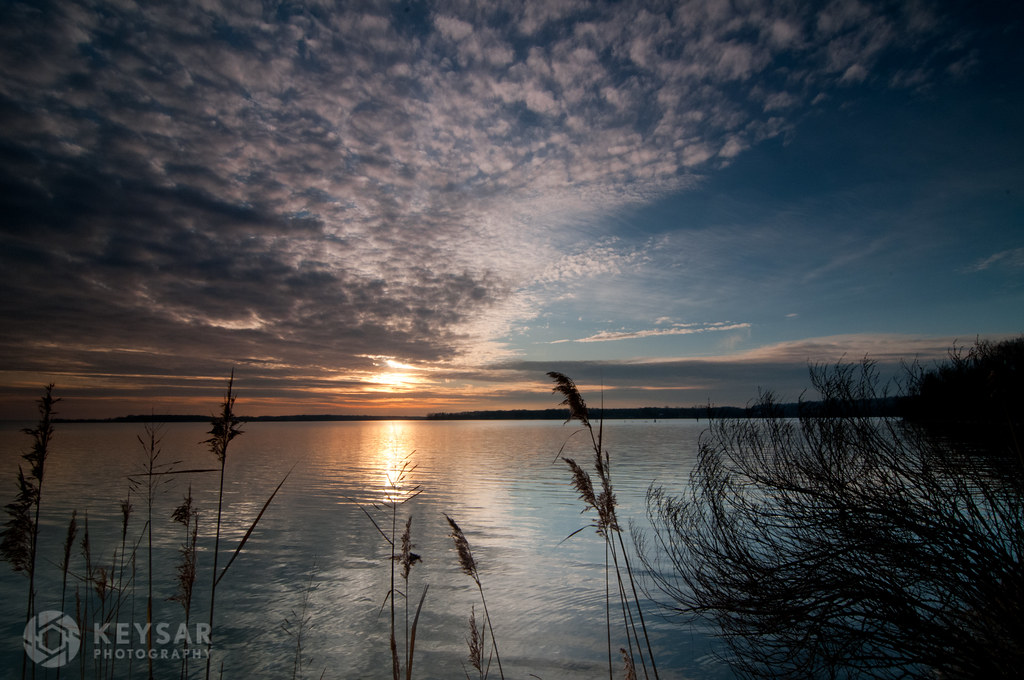
sunset reflected
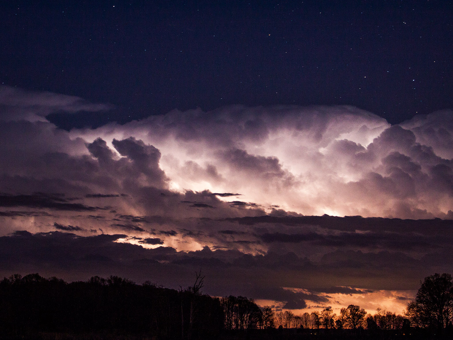
Distant Storm at Goose Bay

IMG_9852-Edit-2

Sunrise over the Potomac
Mt Air Rd, Newburg, MD アメリカ合衆国の地図
別の場所を検索
近所の場所
Chapel Point Rd, Port Tobacco, MD アメリカ合衆国St Ignatius-Chapel Point
アメリカ合衆国 メリーランド州 1, ラ・プラタ
アメリカ合衆国 〒 メリーランド州 ウェルカム
Chatham Dr, King George, VA アメリカ合衆国
アメリカ合衆国 メリーランド州 2, ヒル・トップ
Alexis Ln, King George, VA アメリカ合衆国アレクシス・レーン
Alexis Ln, King George, VA アメリカ合衆国
Owens Dr, King George, VA アメリカ合衆国Owens Drive
Blossom Point Rd, Welcome, MD アメリカ合衆国Blossom Point Research Field
Pamlico Dr, King George, VA アメリカ合衆国
Dahlgren Rd, King George, VA アメリカ合衆国Carroll's Automotive
Payne Dr, King George, VA アメリカ合衆国
Potomac Dr, King George, VA アメリカ合衆国
アメリカ合衆国 〒 バージニア州 ダルグレン
Durham Church Rd, La Plata, MD アメリカ合衆国
St Pauls Rd, King George, VA アメリカ合衆国
アメリカ合衆国 〒 バージニア州 ジェームス・モンロー
アメリカ合衆国 〒 メリーランド州 ナンジェモイ
アメリカ合衆国 メリーランド州 ナンジェモイ
Liverpool Point Rd, Nanjemoy, MD アメリカ合衆国
最近の検索
- Leguwa ネパール日の出日の入り時間
- Shustino, Vladimir Oblast, ロシア日の出日の入り時間
- Lampiasi St, Sarasota, FL アメリカ合衆国日の出日の入り時間
- 日本、〒- 富山県富山市窪本町12−31 APAガーデンコート稲荷日の出日の入り時間
- 台湾 宜蘭県 大同郷Jialuohu日の出日の入り時間
- 日本、〒- 愛媛県今治市関前大下大下港日の出日の入り時間
- 日本、〒- 愛媛県今治市関前大下1930−1大下港フェリー乗り場日の出日の入り時間
- アルゼンチン ブエノスアイレス州 サン・テルモ日の出日の入り時間
- Congressional Dr, Stevensville, MD アメリカ合衆国日の出日の入り時間
- ギリシャ 〒 04 パピンゴ日の出日の入り時間