アメリカ合衆国 ハワイ州 マウンテン・ビュー日の出日の入り時間
Location: アメリカ合衆国 > ハワイ州 > ハワイ >
時間帯:
Pacific/Honolulu
現地時間:
2024-04-28 19:05:36
経度:
-155.1080556
緯度:
19.5558333
今日の日の出時刻:
05:52:13 AM
今日の日の入時刻:
06:43:04 PM
今日の日長:
12h 50m 51s
明日の日の出時刻:
05:51:37 AM
明日の日の入時刻:
06:43:25 PM
明日の日長:
12h 51m 48s
すべて表示する
| 日付 | 日出 | 日没 | 日長 |
|---|---|---|---|
| 2024年01月01日 | 06:54:56 AM | 05:53:51 PM | 10h 58m 55s |
| 2024年01月02日 | 06:55:14 AM | 05:54:28 PM | 10h 59m 14s |
| 2024年01月03日 | 06:55:31 AM | 05:55:05 PM | 10h 59m 34s |
| 2024年01月04日 | 06:55:47 AM | 05:55:43 PM | 10h 59m 56s |
| 2024年01月05日 | 06:56:02 AM | 05:56:21 PM | 11h 0m 19s |
| 2024年01月06日 | 06:56:16 AM | 05:57:00 PM | 11h 0m 44s |
| 2024年01月07日 | 06:56:29 AM | 05:57:38 PM | 11h 1m 9s |
| 2024年01月08日 | 06:56:40 AM | 05:58:17 PM | 11h 1m 37s |
| 2024年01月09日 | 06:56:50 AM | 05:58:56 PM | 11h 2m 6s |
| 2024年01月10日 | 06:56:59 AM | 05:59:35 PM | 11h 2m 36s |
| 2024年01月11日 | 06:57:07 AM | 06:00:14 PM | 11h 3m 7s |
| 2024年01月12日 | 06:57:13 AM | 06:00:53 PM | 11h 3m 40s |
| 2024年01月13日 | 06:57:18 AM | 06:01:32 PM | 11h 4m 14s |
| 2024年01月14日 | 06:57:22 AM | 06:02:11 PM | 11h 4m 49s |
| 2024年01月15日 | 06:57:24 AM | 06:02:50 PM | 11h 5m 26s |
| 2024年01月16日 | 06:57:26 AM | 06:03:29 PM | 11h 6m 3s |
| 2024年01月17日 | 06:57:26 AM | 06:04:08 PM | 11h 6m 42s |
| 2024年01月18日 | 06:57:24 AM | 06:04:47 PM | 11h 7m 23s |
| 2024年01月19日 | 06:57:22 AM | 06:05:25 PM | 11h 8m 3s |
| 2024年01月20日 | 06:57:18 AM | 06:06:03 PM | 11h 8m 45s |
| 2024年01月21日 | 06:57:13 AM | 06:06:42 PM | 11h 9m 29s |
| 2024年01月22日 | 06:57:06 AM | 06:07:19 PM | 11h 10m 13s |
| 2024年01月23日 | 06:56:58 AM | 06:07:57 PM | 11h 10m 59s |
| 2024年01月24日 | 06:56:49 AM | 06:08:34 PM | 11h 11m 45s |
| 2024年01月25日 | 06:56:39 AM | 06:09:11 PM | 11h 12m 32s |
| 2024年01月26日 | 06:56:27 AM | 06:09:47 PM | 11h 13m 20s |
| 2024年01月27日 | 06:56:15 AM | 06:10:24 PM | 11h 14m 9s |
| 2024年01月28日 | 06:56:01 AM | 06:10:59 PM | 11h 14m 58s |
| 2024年01月29日 | 06:55:45 AM | 06:11:35 PM | 11h 15m 50s |
| 2024年01月30日 | 06:55:29 AM | 06:12:10 PM | 11h 16m 41s |
| 2024年01月31日 | 06:55:11 AM | 06:12:44 PM | 11h 17m 33s |
| 2024年02月01日 | 06:54:52 AM | 06:13:18 PM | 11h 18m 26s |
| 2024年02月02日 | 06:54:32 AM | 06:13:52 PM | 11h 19m 20s |
| 2024年02月03日 | 06:54:11 AM | 06:14:25 PM | 11h 20m 14s |
| 2024年02月04日 | 06:53:48 AM | 06:14:58 PM | 11h 21m 10s |
| 2024年02月05日 | 06:53:25 AM | 06:15:30 PM | 11h 22m 5s |
| 2024年02月06日 | 06:53:00 AM | 06:16:02 PM | 11h 23m 2s |
| 2024年02月07日 | 06:52:34 AM | 06:16:34 PM | 11h 24m 0s |
| 2024年02月08日 | 06:52:07 AM | 06:17:04 PM | 11h 24m 57s |
| 2024年02月09日 | 06:51:39 AM | 06:17:35 PM | 11h 25m 56s |
| 2024年02月10日 | 06:51:10 AM | 06:18:05 PM | 11h 26m 55s |
| 2024年02月11日 | 06:50:40 AM | 06:18:34 PM | 11h 27m 54s |
| 2024年02月12日 | 06:50:09 AM | 06:19:03 PM | 11h 28m 54s |
| 2024年02月13日 | 06:49:37 AM | 06:19:31 PM | 11h 29m 54s |
| 2024年02月14日 | 06:49:04 AM | 06:19:59 PM | 11h 30m 55s |
| 2024年02月15日 | 06:48:30 AM | 06:20:26 PM | 11h 31m 56s |
| 2024年02月16日 | 06:47:55 AM | 06:20:53 PM | 11h 32m 58s |
| 2024年02月17日 | 06:47:19 AM | 06:21:20 PM | 11h 34m 1s |
| 2024年02月18日 | 06:46:43 AM | 06:21:45 PM | 11h 35m 2s |
| 2024年02月19日 | 06:46:05 AM | 06:22:11 PM | 11h 36m 6s |
| 2024年02月20日 | 06:45:27 AM | 06:22:36 PM | 11h 37m 9s |
| 2024年02月21日 | 06:44:48 AM | 06:23:00 PM | 11h 38m 12s |
| 2024年02月22日 | 06:44:08 AM | 06:23:24 PM | 11h 39m 16s |
| 2024年02月23日 | 06:43:27 AM | 06:23:48 PM | 11h 40m 21s |
| 2024年02月24日 | 06:42:46 AM | 06:24:11 PM | 11h 41m 25s |
| 2024年02月25日 | 06:42:04 AM | 06:24:33 PM | 11h 42m 29s |
| 2024年02月26日 | 06:41:21 AM | 06:24:56 PM | 11h 43m 35s |
| 2024年02月27日 | 06:40:37 AM | 06:25:17 PM | 11h 44m 40s |
| 2024年02月28日 | 06:39:53 AM | 06:25:39 PM | 11h 45m 46s |
| 2024年02月29日 | 06:39:08 AM | 06:26:00 PM | 11h 46m 52s |
| 2024年03月01日 | 06:38:23 AM | 06:26:20 PM | 11h 47m 57s |
| 2024年03月02日 | 06:37:37 AM | 06:26:40 PM | 11h 49m 3s |
| 2024年03月03日 | 06:36:51 AM | 06:27:00 PM | 11h 50m 9s |
| 2024年03月04日 | 06:36:04 AM | 06:27:20 PM | 11h 51m 16s |
| 2024年03月05日 | 06:35:17 AM | 06:27:39 PM | 11h 52m 22s |
| 2024年03月06日 | 06:34:29 AM | 06:27:58 PM | 11h 53m 29s |
| 2024年03月07日 | 06:33:40 AM | 06:28:16 PM | 11h 54m 36s |
| 2024年03月08日 | 06:32:52 AM | 06:28:34 PM | 11h 55m 42s |
| 2024年03月09日 | 06:32:03 AM | 06:28:52 PM | 11h 56m 49s |
| 2024年03月10日 | 06:31:13 AM | 06:29:10 PM | 11h 57m 57s |
| 2024年03月11日 | 06:30:24 AM | 06:29:27 PM | 11h 59m 3s |
| 2024年03月12日 | 06:29:34 AM | 06:29:45 PM | 12h 0m 11s |
| 2024年03月13日 | 06:28:43 AM | 06:30:02 PM | 12h 1m 19s |
| 2024年03月14日 | 06:27:53 AM | 06:30:18 PM | 12h 2m 25s |
| 2024年03月15日 | 06:27:02 AM | 06:30:35 PM | 12h 3m 33s |
| 2024年03月16日 | 06:26:11 AM | 06:30:51 PM | 12h 4m 40s |
| 2024年03月17日 | 06:25:20 AM | 06:31:07 PM | 12h 5m 47s |
| 2024年03月18日 | 06:24:28 AM | 06:31:23 PM | 12h 6m 55s |
| 2024年03月19日 | 06:23:37 AM | 06:31:39 PM | 12h 8m 2s |
| 2024年03月20日 | 06:22:45 AM | 06:31:55 PM | 12h 9m 10s |
| 2024年03月21日 | 06:21:54 AM | 06:32:11 PM | 12h 10m 17s |
| 2024年03月22日 | 06:21:02 AM | 06:32:26 PM | 12h 11m 24s |
| 2024年03月23日 | 06:20:10 AM | 06:32:42 PM | 12h 12m 32s |
| 2024年03月24日 | 06:19:19 AM | 06:32:57 PM | 12h 13m 38s |
| 2024年03月25日 | 06:18:27 AM | 06:33:13 PM | 12h 14m 46s |
| 2024年03月26日 | 06:17:35 AM | 06:33:28 PM | 12h 15m 53s |
| 2024年03月27日 | 06:16:44 AM | 06:33:43 PM | 12h 16m 59s |
| 2024年03月28日 | 06:15:53 AM | 06:33:59 PM | 12h 18m 6s |
| 2024年03月29日 | 06:15:01 AM | 06:34:14 PM | 12h 19m 13s |
| 2024年03月30日 | 06:14:10 AM | 06:34:30 PM | 12h 20m 20s |
| 2024年03月31日 | 06:13:19 AM | 06:34:45 PM | 12h 21m 26s |
| 2024年04月01日 | 06:12:28 AM | 06:35:01 PM | 12h 22m 33s |
| 2024年04月02日 | 06:11:38 AM | 06:35:16 PM | 12h 23m 38s |
| 2024年04月03日 | 06:10:48 AM | 06:35:32 PM | 12h 24m 44s |
| 2024年04月04日 | 06:09:58 AM | 06:35:48 PM | 12h 25m 50s |
| 2024年04月05日 | 06:09:08 AM | 06:36:03 PM | 12h 26m 55s |
| 2024年04月06日 | 06:08:19 AM | 06:36:19 PM | 12h 28m 0s |
| 2024年04月07日 | 06:07:30 AM | 06:36:36 PM | 12h 29m 6s |
| 2024年04月08日 | 06:06:41 AM | 06:36:52 PM | 12h 30m 11s |
| 2024年04月09日 | 06:05:53 AM | 06:37:08 PM | 12h 31m 15s |
| 2024年04月10日 | 06:05:05 AM | 06:37:25 PM | 12h 32m 20s |
| 2024年04月11日 | 06:04:18 AM | 06:37:41 PM | 12h 33m 23s |
| 2024年04月12日 | 06:03:31 AM | 06:37:58 PM | 12h 34m 27s |
| 2024年04月13日 | 06:02:44 AM | 06:38:15 PM | 12h 35m 31s |
| 2024年04月14日 | 06:01:59 AM | 06:38:33 PM | 12h 36m 34s |
| 2024年04月15日 | 06:01:13 AM | 06:38:50 PM | 12h 37m 37s |
| 2024年04月16日 | 06:00:28 AM | 06:39:08 PM | 12h 38m 40s |
| 2024年04月17日 | 05:59:44 AM | 06:39:26 PM | 12h 39m 42s |
| 2024年04月18日 | 05:59:01 AM | 06:39:44 PM | 12h 40m 43s |
| 2024年04月19日 | 05:58:18 AM | 06:40:02 PM | 12h 41m 44s |
| 2024年04月20日 | 05:57:35 AM | 06:40:21 PM | 12h 42m 46s |
| 2024年04月21日 | 05:56:54 AM | 06:40:40 PM | 12h 43m 46s |
| 2024年04月22日 | 05:56:13 AM | 06:40:59 PM | 12h 44m 46s |
| 2024年04月23日 | 05:55:32 AM | 06:41:18 PM | 12h 45m 46s |
| 2024年04月24日 | 05:54:53 AM | 06:41:38 PM | 12h 46m 45s |
| 2024年04月25日 | 05:54:14 AM | 06:41:58 PM | 12h 47m 44s |
| 2024年04月26日 | 05:53:36 AM | 06:42:18 PM | 12h 48m 42s |
| 2024年04月27日 | 05:52:58 AM | 06:42:38 PM | 12h 49m 40s |
| 2024年04月28日 | 05:52:22 AM | 06:42:59 PM | 12h 50m 37s |
| 2024年04月29日 | 05:51:46 AM | 06:43:19 PM | 12h 51m 33s |
| 2024年04月30日 | 05:51:11 AM | 06:43:40 PM | 12h 52m 29s |
| 2024年05月01日 | 05:50:37 AM | 06:44:02 PM | 12h 53m 25s |
| 2024年05月02日 | 05:50:04 AM | 06:44:23 PM | 12h 54m 19s |
| 2024年05月03日 | 05:49:32 AM | 06:44:45 PM | 12h 55m 13s |
| 2024年05月04日 | 05:49:01 AM | 06:45:07 PM | 12h 56m 6s |
| 2024年05月05日 | 05:48:30 AM | 06:45:29 PM | 12h 56m 59s |
| 2024年05月06日 | 05:48:01 AM | 06:45:52 PM | 12h 57m 51s |
| 2024年05月07日 | 05:47:32 AM | 06:46:14 PM | 12h 58m 42s |
| 2024年05月08日 | 05:47:04 AM | 06:46:37 PM | 12h 59m 33s |
| 2024年05月09日 | 05:46:38 AM | 06:47:00 PM | 13h 0m 22s |
| 2024年05月10日 | 05:46:12 AM | 06:47:23 PM | 13h 1m 11s |
| 2024年05月11日 | 05:45:47 AM | 06:47:46 PM | 13h 1m 59s |
| 2024年05月12日 | 05:45:24 AM | 06:48:10 PM | 13h 2m 46s |
| 2024年05月13日 | 05:45:01 AM | 06:48:33 PM | 13h 3m 32s |
| 2024年05月14日 | 05:44:39 AM | 06:48:57 PM | 13h 4m 18s |
| 2024年05月15日 | 05:44:18 AM | 06:49:21 PM | 13h 5m 3s |
| 2024年05月16日 | 05:43:59 AM | 06:49:45 PM | 13h 5m 46s |
| 2024年05月17日 | 05:43:40 AM | 06:50:09 PM | 13h 6m 29s |
| 2024年05月18日 | 05:43:23 AM | 06:50:33 PM | 13h 7m 10s |
| 2024年05月19日 | 05:43:06 AM | 06:50:57 PM | 13h 7m 51s |
| 2024年05月20日 | 05:42:50 AM | 06:51:21 PM | 13h 8m 31s |
| 2024年05月21日 | 05:42:36 AM | 06:51:45 PM | 13h 9m 9s |
| 2024年05月22日 | 05:42:23 AM | 06:52:09 PM | 13h 9m 46s |
| 2024年05月23日 | 05:42:10 AM | 06:52:33 PM | 13h 10m 23s |
| 2024年05月24日 | 05:41:59 AM | 06:52:57 PM | 13h 10m 58s |
| 2024年05月25日 | 05:41:49 AM | 06:53:21 PM | 13h 11m 32s |
| 2024年05月26日 | 05:41:39 AM | 06:53:45 PM | 13h 12m 6s |
| 2024年05月27日 | 05:41:31 AM | 06:54:09 PM | 13h 12m 38s |
| 2024年05月28日 | 05:41:24 AM | 06:54:32 PM | 13h 13m 8s |
| 2024年05月29日 | 05:41:18 AM | 06:54:55 PM | 13h 13m 37s |
| 2024年05月30日 | 05:41:13 AM | 06:55:18 PM | 13h 14m 5s |
| 2024年05月31日 | 05:41:09 AM | 06:55:41 PM | 13h 14m 32s |
| 2024年06月01日 | 05:41:06 AM | 06:56:04 PM | 13h 14m 58s |
| 2024年06月02日 | 05:41:04 AM | 06:56:26 PM | 13h 15m 22s |
| 2024年06月03日 | 05:41:03 AM | 06:56:48 PM | 13h 15m 45s |
| 2024年06月04日 | 05:41:03 AM | 06:57:10 PM | 13h 16m 7s |
| 2024年06月05日 | 05:41:03 AM | 06:57:31 PM | 13h 16m 28s |
| 2024年06月06日 | 05:41:05 AM | 06:57:52 PM | 13h 16m 47s |
| 2024年06月07日 | 05:41:08 AM | 06:58:13 PM | 13h 17m 5s |
| 2024年06月08日 | 05:41:12 AM | 06:58:33 PM | 13h 17m 21s |
| 2024年06月09日 | 05:41:16 AM | 06:58:52 PM | 13h 17m 36s |
| 2024年06月10日 | 05:41:22 AM | 06:59:11 PM | 13h 17m 49s |
| 2024年06月11日 | 05:41:28 AM | 06:59:30 PM | 13h 18m 2s |
| 2024年06月12日 | 05:41:36 AM | 06:59:48 PM | 13h 18m 12s |
| 2024年06月13日 | 05:41:44 AM | 07:00:05 PM | 13h 18m 21s |
| 2024年06月14日 | 05:41:53 AM | 07:00:22 PM | 13h 18m 29s |
| 2024年06月15日 | 05:42:02 AM | 07:00:38 PM | 13h 18m 36s |
| 2024年06月16日 | 05:42:13 AM | 07:00:54 PM | 13h 18m 41s |
| 2024年06月17日 | 05:42:24 AM | 07:01:09 PM | 13h 18m 45s |
| 2024年06月18日 | 05:42:36 AM | 07:01:23 PM | 13h 18m 47s |
| 2024年06月19日 | 05:42:49 AM | 07:01:36 PM | 13h 18m 47s |
| 2024年06月20日 | 05:43:02 AM | 07:01:49 PM | 13h 18m 47s |
| 2024年06月21日 | 05:43:16 AM | 07:02:01 PM | 13h 18m 45s |
| 2024年06月22日 | 05:43:31 AM | 07:02:12 PM | 13h 18m 41s |
| 2024年06月23日 | 05:43:46 AM | 07:02:22 PM | 13h 18m 36s |
| 2024年06月24日 | 05:44:02 AM | 07:02:32 PM | 13h 18m 30s |
| 2024年06月25日 | 05:44:19 AM | 07:02:41 PM | 13h 18m 22s |
| 2024年06月26日 | 05:44:36 AM | 07:02:48 PM | 13h 18m 12s |
| 2024年06月27日 | 05:44:53 AM | 07:02:55 PM | 13h 18m 2s |
| 2024年06月28日 | 05:45:11 AM | 07:03:01 PM | 13h 17m 50s |
| 2024年06月29日 | 05:45:30 AM | 07:03:06 PM | 13h 17m 36s |
| 2024年06月30日 | 05:45:49 AM | 07:03:10 PM | 13h 17m 21s |
| 2024年07月01日 | 05:46:08 AM | 07:03:13 PM | 13h 17m 5s |
| 2024年07月02日 | 05:46:28 AM | 07:03:15 PM | 13h 16m 47s |
| 2024年07月03日 | 05:46:48 AM | 07:03:16 PM | 13h 16m 28s |
| 2024年07月04日 | 05:47:08 AM | 07:03:16 PM | 13h 16m 8s |
| 2024年07月05日 | 05:47:29 AM | 07:03:15 PM | 13h 15m 46s |
| 2024年07月06日 | 05:47:49 AM | 07:03:13 PM | 13h 15m 24s |
| 2024年07月07日 | 05:48:11 AM | 07:03:10 PM | 13h 14m 59s |
| 2024年07月08日 | 05:48:32 AM | 07:03:06 PM | 13h 14m 34s |
| 2024年07月09日 | 05:48:54 AM | 07:03:01 PM | 13h 14m 7s |
| 2024年07月10日 | 05:49:15 AM | 07:02:55 PM | 13h 13m 40s |
| 2024年07月11日 | 05:49:37 AM | 07:02:47 PM | 13h 13m 10s |
| 2024年07月12日 | 05:49:59 AM | 07:02:39 PM | 13h 12m 40s |
| 2024年07月13日 | 05:50:21 AM | 07:02:29 PM | 13h 12m 8s |
| 2024年07月14日 | 05:50:43 AM | 07:02:19 PM | 13h 11m 36s |
| 2024年07月15日 | 05:51:06 AM | 07:02:07 PM | 13h 11m 1s |
| 2024年07月16日 | 05:51:28 AM | 07:01:55 PM | 13h 10m 27s |
| 2024年07月17日 | 05:51:50 AM | 07:01:41 PM | 13h 9m 51s |
| 2024年07月18日 | 05:52:12 AM | 07:01:26 PM | 13h 9m 14s |
| 2024年07月19日 | 05:52:34 AM | 07:01:10 PM | 13h 8m 36s |
| 2024年07月20日 | 05:52:57 AM | 07:00:53 PM | 13h 7m 56s |
| 2024年07月21日 | 05:53:19 AM | 07:00:35 PM | 13h 7m 16s |
| 2024年07月22日 | 05:53:41 AM | 07:00:16 PM | 13h 6m 35s |
| 2024年07月23日 | 05:54:02 AM | 06:59:55 PM | 13h 5m 53s |
| 2024年07月24日 | 05:54:24 AM | 06:59:34 PM | 13h 5m 10s |
| 2024年07月25日 | 05:54:46 AM | 06:59:12 PM | 13h 4m 26s |
| 2024年07月26日 | 05:55:07 AM | 06:58:48 PM | 13h 3m 41s |
| 2024年07月27日 | 05:55:28 AM | 06:58:24 PM | 13h 2m 56s |
| 2024年07月28日 | 05:55:49 AM | 06:57:58 PM | 13h 2m 9s |
| 2024年07月29日 | 05:56:10 AM | 06:57:32 PM | 13h 1m 22s |
| 2024年07月30日 | 05:56:31 AM | 06:57:04 PM | 13h 0m 33s |
| 2024年07月31日 | 05:56:51 AM | 06:56:36 PM | 12h 59m 45s |
| 2024年08月01日 | 05:57:12 AM | 06:56:06 PM | 12h 58m 54s |
| 2024年08月02日 | 05:57:32 AM | 06:55:36 PM | 12h 58m 4s |
| 2024年08月03日 | 05:57:51 AM | 06:55:04 PM | 12h 57m 13s |
| 2024年08月04日 | 05:58:11 AM | 06:54:32 PM | 12h 56m 21s |
| 2024年08月05日 | 05:58:30 AM | 06:53:58 PM | 12h 55m 28s |
| 2024年08月06日 | 05:58:49 AM | 06:53:24 PM | 12h 54m 35s |
| 2024年08月07日 | 05:59:08 AM | 06:52:49 PM | 12h 53m 41s |
| 2024年08月08日 | 05:59:26 AM | 06:52:13 PM | 12h 52m 47s |
| 2024年08月09日 | 05:59:44 AM | 06:51:36 PM | 12h 51m 52s |
| 2024年08月10日 | 06:00:02 AM | 06:50:58 PM | 12h 50m 56s |
| 2024年08月11日 | 06:00:20 AM | 06:50:20 PM | 12h 50m 0s |
| 2024年08月12日 | 06:00:37 AM | 06:49:40 PM | 12h 49m 3s |
| 2024年08月13日 | 06:00:54 AM | 06:49:00 PM | 12h 48m 6s |
| 2024年08月14日 | 06:01:11 AM | 06:48:19 PM | 12h 47m 8s |
| 2024年08月15日 | 06:01:28 AM | 06:47:37 PM | 12h 46m 9s |
| 2024年08月16日 | 06:01:44 AM | 06:46:55 PM | 12h 45m 11s |
| 2024年08月17日 | 06:02:00 AM | 06:46:12 PM | 12h 44m 12s |
| 2024年08月18日 | 06:02:15 AM | 06:45:28 PM | 12h 43m 13s |
| 2024年08月19日 | 06:02:31 AM | 06:44:43 PM | 12h 42m 12s |
| 2024年08月20日 | 06:02:46 AM | 06:43:58 PM | 12h 41m 12s |
| 2024年08月21日 | 06:03:01 AM | 06:43:12 PM | 12h 40m 11s |
| 2024年08月22日 | 06:03:15 AM | 06:42:25 PM | 12h 39m 10s |
| 2024年08月23日 | 06:03:30 AM | 06:41:38 PM | 12h 38m 8s |
| 2024年08月24日 | 06:03:44 AM | 06:40:51 PM | 12h 37m 7s |
| 2024年08月25日 | 06:03:58 AM | 06:40:02 PM | 12h 36m 4s |
| 2024年08月26日 | 06:04:11 AM | 06:39:14 PM | 12h 35m 3s |
| 2024年08月27日 | 06:04:25 AM | 06:38:24 PM | 12h 33m 59s |
| 2024年08月28日 | 06:04:38 AM | 06:37:35 PM | 12h 32m 57s |
| 2024年08月29日 | 06:04:51 AM | 06:36:44 PM | 12h 31m 53s |
| 2024年08月30日 | 06:05:04 AM | 06:35:54 PM | 12h 30m 50s |
| 2024年08月31日 | 06:05:17 AM | 06:35:03 PM | 12h 29m 46s |
| 2024年09月01日 | 06:05:29 AM | 06:34:11 PM | 12h 28m 42s |
| 2024年09月02日 | 06:05:41 AM | 06:33:19 PM | 12h 27m 38s |
| 2024年09月03日 | 06:05:54 AM | 06:32:27 PM | 12h 26m 33s |
| 2024年09月04日 | 06:06:06 AM | 06:31:35 PM | 12h 25m 29s |
| 2024年09月05日 | 06:06:18 AM | 06:30:42 PM | 12h 24m 24s |
| 2024年09月06日 | 06:06:30 AM | 06:29:49 PM | 12h 23m 19s |
| 2024年09月07日 | 06:06:41 AM | 06:28:55 PM | 12h 22m 14s |
| 2024年09月08日 | 06:06:53 AM | 06:28:02 PM | 12h 21m 9s |
| 2024年09月09日 | 06:07:05 AM | 06:27:08 PM | 12h 20m 3s |
| 2024年09月10日 | 06:07:16 AM | 06:26:14 PM | 12h 18m 58s |
| 2024年09月11日 | 06:07:28 AM | 06:25:20 PM | 12h 17m 52s |
| 2024年09月12日 | 06:07:40 AM | 06:24:26 PM | 12h 16m 46s |
| 2024年09月13日 | 06:07:51 AM | 06:23:31 PM | 12h 15m 40s |
| 2024年09月14日 | 06:08:03 AM | 06:22:37 PM | 12h 14m 34s |
| 2024年09月15日 | 06:08:14 AM | 06:21:42 PM | 12h 13m 28s |
| 2024年09月16日 | 06:08:26 AM | 06:20:48 PM | 12h 12m 22s |
| 2024年09月17日 | 06:08:38 AM | 06:19:53 PM | 12h 11m 15s |
| 2024年09月18日 | 06:08:49 AM | 06:18:59 PM | 12h 10m 10s |
| 2024年09月19日 | 06:09:01 AM | 06:18:04 PM | 12h 9m 3s |
| 2024年09月20日 | 06:09:13 AM | 06:17:10 PM | 12h 7m 57s |
| 2024年09月21日 | 06:09:25 AM | 06:16:16 PM | 12h 6m 51s |
| 2024年09月22日 | 06:09:37 AM | 06:15:22 PM | 12h 5m 45s |
| 2024年09月23日 | 06:09:50 AM | 06:14:28 PM | 12h 4m 38s |
| 2024年09月24日 | 06:10:02 AM | 06:13:34 PM | 12h 3m 32s |
| 2024年09月25日 | 06:10:15 AM | 06:12:40 PM | 12h 2m 25s |
| 2024年09月26日 | 06:10:28 AM | 06:11:47 PM | 12h 1m 19s |
| 2024年09月27日 | 06:10:41 AM | 06:10:54 PM | 12h 0m 13s |
| 2024年09月28日 | 06:10:54 AM | 06:10:01 PM | 11h 59m 7s |
| 2024年09月29日 | 06:11:07 AM | 06:09:08 PM | 11h 58m 1s |
| 2024年09月30日 | 06:11:21 AM | 06:08:16 PM | 11h 56m 55s |
| 2024年10月01日 | 06:11:35 AM | 06:07:24 PM | 11h 55m 49s |
| 2024年10月02日 | 06:11:50 AM | 06:06:32 PM | 11h 54m 42s |
| 2024年10月03日 | 06:12:04 AM | 06:05:41 PM | 11h 53m 37s |
| 2024年10月04日 | 06:12:19 AM | 06:04:50 PM | 11h 52m 31s |
| 2024年10月05日 | 06:12:35 AM | 06:04:00 PM | 11h 51m 25s |
| 2024年10月06日 | 06:12:50 AM | 06:03:10 PM | 11h 50m 20s |
| 2024年10月07日 | 06:13:06 AM | 06:02:21 PM | 11h 49m 15s |
| 2024年10月08日 | 06:13:23 AM | 06:01:32 PM | 11h 48m 9s |
| 2024年10月09日 | 06:13:39 AM | 06:00:44 PM | 11h 47m 5s |
| 2024年10月10日 | 06:13:57 AM | 05:59:57 PM | 11h 46m 0s |
| 2024年10月11日 | 06:14:14 AM | 05:59:10 PM | 11h 44m 56s |
| 2024年10月12日 | 06:14:32 AM | 05:58:23 PM | 11h 43m 51s |
| 2024年10月13日 | 06:14:50 AM | 05:57:37 PM | 11h 42m 47s |
| 2024年10月14日 | 06:15:09 AM | 05:56:52 PM | 11h 41m 43s |
| 2024年10月15日 | 06:15:29 AM | 05:56:08 PM | 11h 40m 39s |
| 2024年10月16日 | 06:15:48 AM | 05:55:24 PM | 11h 39m 36s |
| 2024年10月17日 | 06:16:09 AM | 05:54:41 PM | 11h 38m 32s |
| 2024年10月18日 | 06:16:29 AM | 05:53:59 PM | 11h 37m 30s |
| 2024年10月19日 | 06:16:51 AM | 05:53:18 PM | 11h 36m 27s |
| 2024年10月20日 | 06:17:12 AM | 05:52:38 PM | 11h 35m 26s |
| 2024年10月21日 | 06:17:34 AM | 05:51:58 PM | 11h 34m 24s |
| 2024年10月22日 | 06:17:57 AM | 05:51:19 PM | 11h 33m 22s |
| 2024年10月23日 | 06:18:20 AM | 05:50:41 PM | 11h 32m 21s |
| 2024年10月24日 | 06:18:44 AM | 05:50:04 PM | 11h 31m 20s |
| 2024年10月25日 | 06:19:08 AM | 05:49:28 PM | 11h 30m 20s |
| 2024年10月26日 | 06:19:33 AM | 05:48:53 PM | 11h 29m 20s |
| 2024年10月27日 | 06:19:59 AM | 05:48:19 PM | 11h 28m 20s |
| 2024年10月28日 | 06:20:24 AM | 05:47:46 PM | 11h 27m 22s |
| 2024年10月29日 | 06:20:51 AM | 05:47:14 PM | 11h 26m 23s |
| 2024年10月30日 | 06:21:18 AM | 05:46:43 PM | 11h 25m 25s |
| 2024年10月31日 | 06:21:45 AM | 05:46:13 PM | 11h 24m 28s |
| 2024年11月01日 | 06:22:13 AM | 05:45:45 PM | 11h 23m 32s |
| 2024年11月02日 | 06:22:42 AM | 05:45:17 PM | 11h 22m 35s |
| 2024年11月03日 | 06:23:11 AM | 05:44:50 PM | 11h 21m 39s |
| 2024年11月04日 | 06:23:40 AM | 05:44:25 PM | 11h 20m 45s |
| 2024年11月05日 | 06:24:10 AM | 05:44:01 PM | 11h 19m 51s |
| 2024年11月06日 | 06:24:41 AM | 05:43:38 PM | 11h 18m 57s |
| 2024年11月07日 | 06:25:12 AM | 05:43:16 PM | 11h 18m 4s |
| 2024年11月08日 | 06:25:43 AM | 05:42:55 PM | 11h 17m 12s |
| 2024年11月09日 | 06:26:15 AM | 05:42:36 PM | 11h 16m 21s |
| 2024年11月10日 | 06:26:48 AM | 05:42:17 PM | 11h 15m 29s |
| 2024年11月11日 | 06:27:21 AM | 05:42:00 PM | 11h 14m 39s |
| 2024年11月12日 | 06:27:54 AM | 05:41:45 PM | 11h 13m 51s |
| 2024年11月13日 | 06:28:28 AM | 05:41:30 PM | 11h 13m 2s |
| 2024年11月14日 | 06:29:02 AM | 05:41:17 PM | 11h 12m 15s |
| 2024年11月15日 | 06:29:37 AM | 05:41:05 PM | 11h 11m 28s |
| 2024年11月16日 | 06:30:12 AM | 05:40:55 PM | 11h 10m 43s |
| 2024年11月17日 | 06:30:47 AM | 05:40:45 PM | 11h 9m 58s |
| 2024年11月18日 | 06:31:22 AM | 05:40:37 PM | 11h 9m 15s |
| 2024年11月19日 | 06:31:58 AM | 05:40:31 PM | 11h 8m 33s |
| 2024年11月20日 | 06:32:35 AM | 05:40:25 PM | 11h 7m 50s |
| 2024年11月21日 | 06:33:11 AM | 05:40:21 PM | 11h 7m 10s |
| 2024年11月22日 | 06:33:48 AM | 05:40:19 PM | 11h 6m 31s |
| 2024年11月23日 | 06:34:25 AM | 05:40:18 PM | 11h 5m 53s |
| 2024年11月24日 | 06:35:02 AM | 05:40:18 PM | 11h 5m 16s |
| 2024年11月25日 | 06:35:39 AM | 05:40:19 PM | 11h 4m 40s |
| 2024年11月26日 | 06:36:16 AM | 05:40:21 PM | 11h 4m 5s |
| 2024年11月27日 | 06:36:54 AM | 05:40:25 PM | 11h 3m 31s |
| 2024年11月28日 | 06:37:31 AM | 05:40:31 PM | 11h 3m 0s |
| 2024年11月29日 | 06:38:09 AM | 05:40:37 PM | 11h 2m 28s |
| 2024年11月30日 | 06:38:46 AM | 05:40:45 PM | 11h 1m 59s |
| 2024年12月01日 | 06:39:24 AM | 05:40:54 PM | 11h 1m 30s |
| 2024年12月02日 | 06:40:01 AM | 05:41:05 PM | 11h 1m 4s |
| 2024年12月03日 | 06:40:38 AM | 05:41:16 PM | 11h 0m 38s |
| 2024年12月04日 | 06:41:16 AM | 05:41:29 PM | 11h 0m 13s |
| 2024年12月05日 | 06:41:53 AM | 05:41:44 PM | 10h 59m 51s |
| 2024年12月06日 | 06:42:29 AM | 05:41:59 PM | 10h 59m 30s |
| 2024年12月07日 | 06:43:06 AM | 05:42:15 PM | 10h 59m 9s |
| 2024年12月08日 | 06:43:42 AM | 05:42:33 PM | 10h 58m 51s |
| 2024年12月09日 | 06:44:18 AM | 05:42:52 PM | 10h 58m 34s |
| 2024年12月10日 | 06:44:53 AM | 05:43:12 PM | 10h 58m 19s |
| 2024年12月11日 | 06:45:29 AM | 05:43:33 PM | 10h 58m 4s |
| 2024年12月12日 | 06:46:03 AM | 05:43:55 PM | 10h 57m 52s |
| 2024年12月13日 | 06:46:38 AM | 05:44:19 PM | 10h 57m 41s |
| 2024年12月14日 | 06:47:11 AM | 05:44:43 PM | 10h 57m 32s |
| 2024年12月15日 | 06:47:44 AM | 05:45:08 PM | 10h 57m 24s |
| 2024年12月16日 | 06:48:17 AM | 05:45:34 PM | 10h 57m 17s |
| 2024年12月17日 | 06:48:49 AM | 05:46:02 PM | 10h 57m 13s |
| 2024年12月18日 | 06:49:20 AM | 05:46:30 PM | 10h 57m 10s |
| 2024年12月19日 | 06:49:51 AM | 05:46:59 PM | 10h 57m 8s |
| 2024年12月20日 | 06:50:21 AM | 05:47:28 PM | 10h 57m 7s |
| 2024年12月21日 | 06:50:50 AM | 05:47:59 PM | 10h 57m 9s |
| 2024年12月22日 | 06:51:18 AM | 05:48:30 PM | 10h 57m 12s |
| 2024年12月23日 | 06:51:45 AM | 05:49:03 PM | 10h 57m 18s |
| 2024年12月24日 | 06:52:12 AM | 05:49:35 PM | 10h 57m 23s |
| 2024年12月25日 | 06:52:38 AM | 05:50:09 PM | 10h 57m 31s |
| 2024年12月26日 | 06:53:02 AM | 05:50:43 PM | 10h 57m 41s |
| 2024年12月27日 | 06:53:26 AM | 05:51:18 PM | 10h 57m 52s |
| 2024年12月28日 | 06:53:49 AM | 05:51:53 PM | 10h 58m 4s |
| 2024年12月29日 | 06:54:11 AM | 05:52:29 PM | 10h 58m 18s |
| 2024年12月30日 | 06:54:31 AM | 05:53:05 PM | 10h 58m 34s |
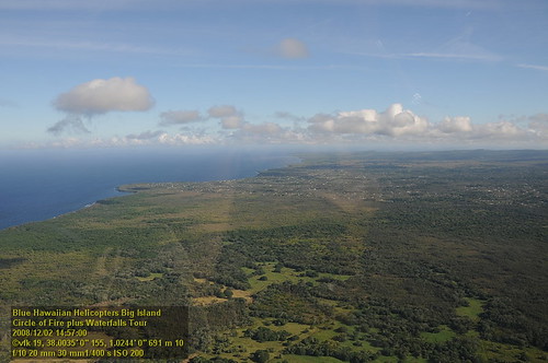
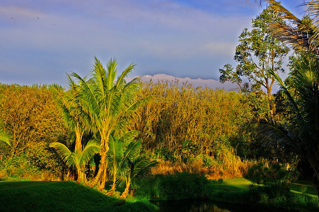
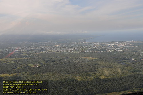
写真
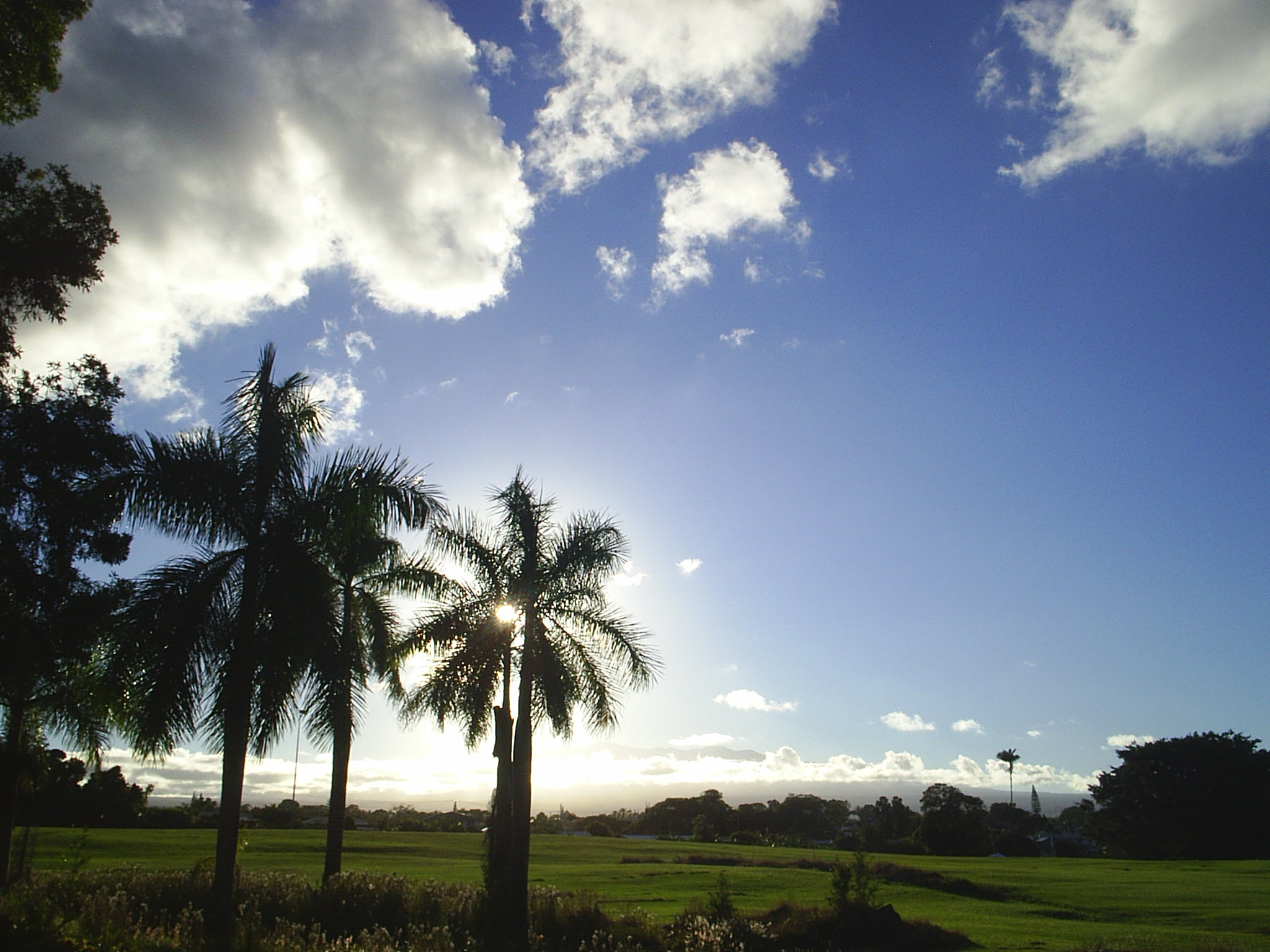
Hilo MUni @ sunset

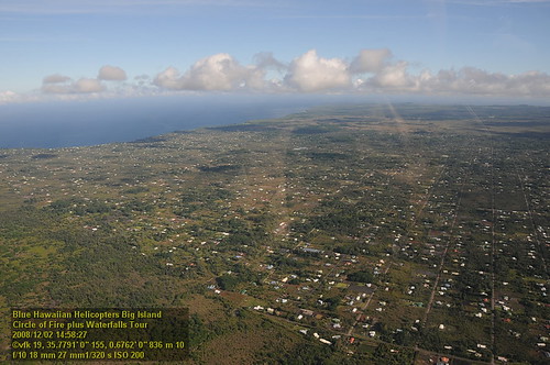
Kilauea Volcano Crater
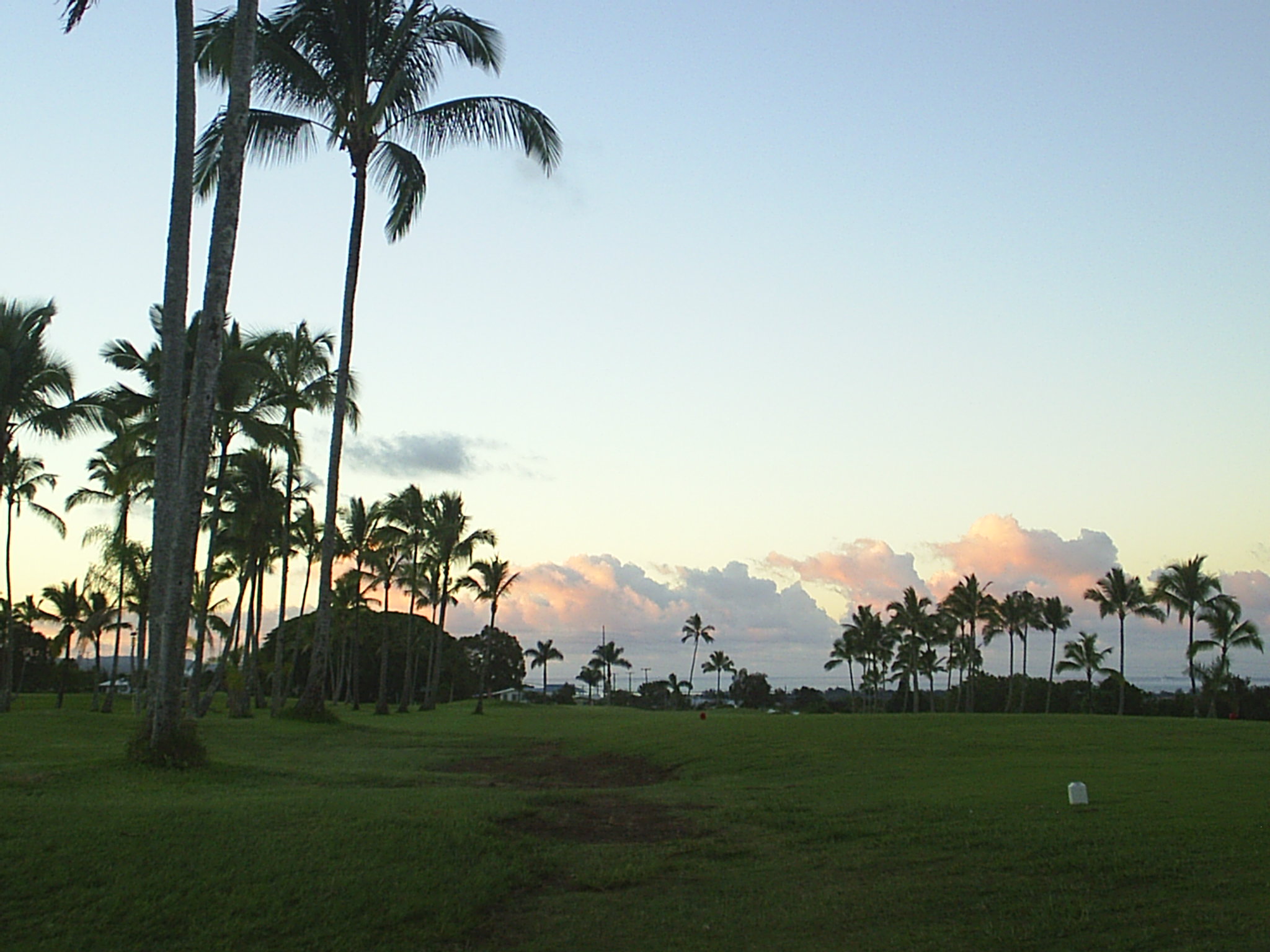
Hilo MUni @ sunset clouds
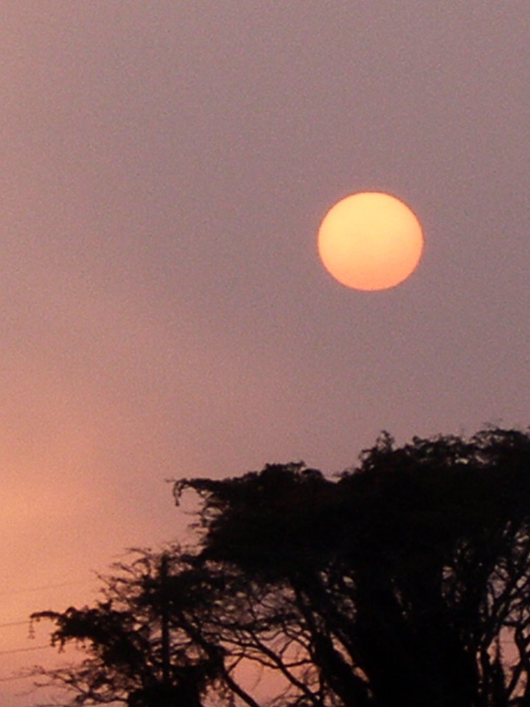
Voggy Sunrise, Keaau, Hawaii

Sunup on a snowy Mauna Kea from Mountain View B&B, Hawaii
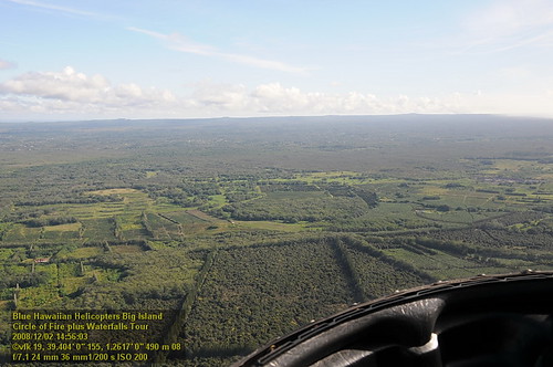
HW7481VF2_4982.JPG
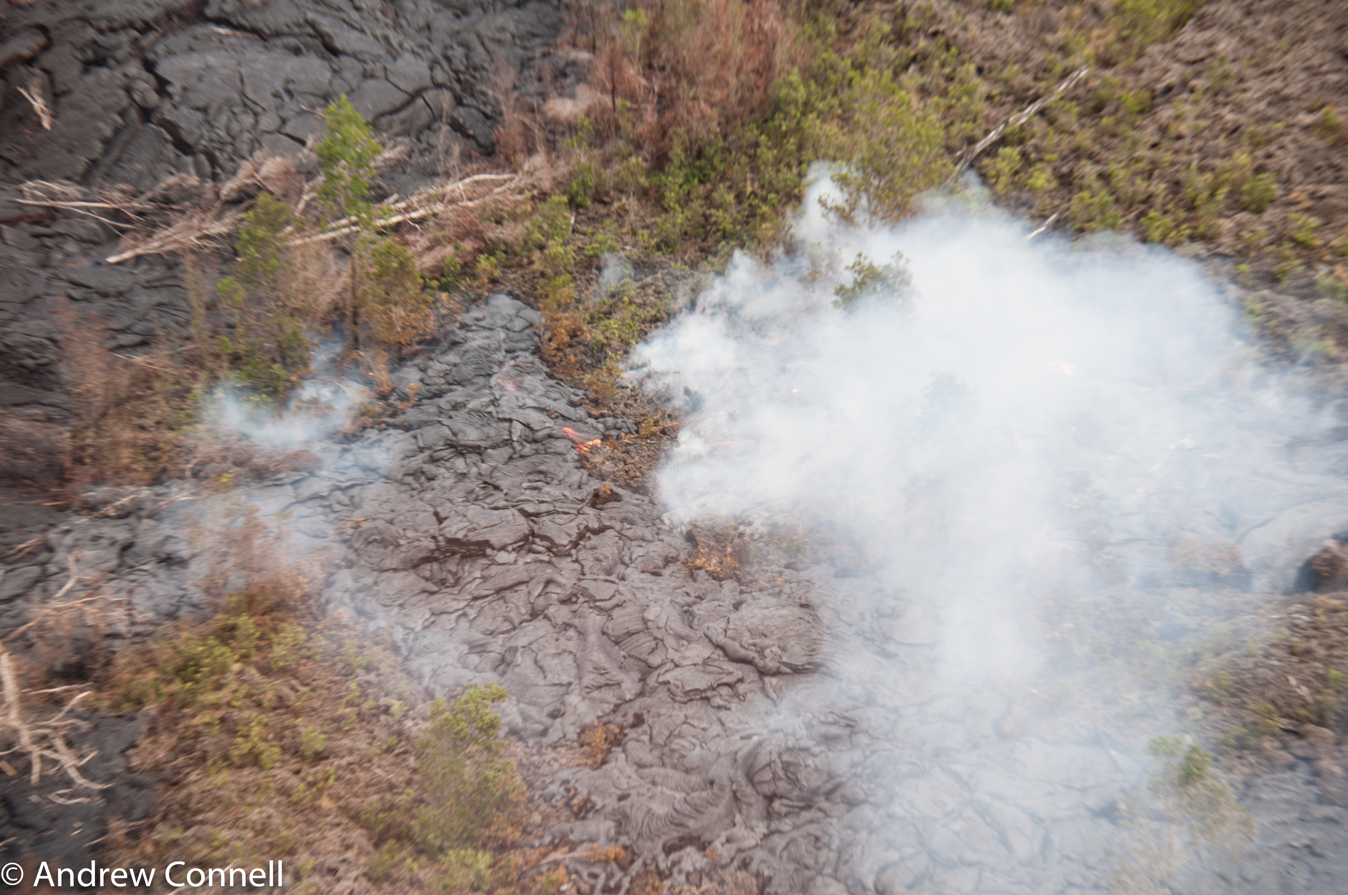
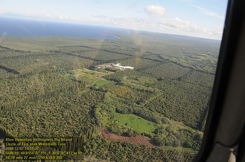
The current active lava flow as it moves into a forest. It's moved 2 miles in the last 8 months.

view from inside lava tube
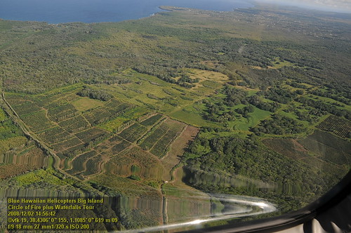
HW6978VF2_4479.JPG
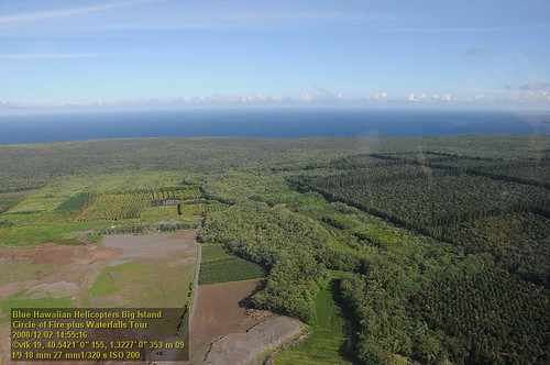
HW6983VF2_4484.JPG
HW6973VF2_4474.JPG
HW6985VF2_4486.JPG
Mauna Kea in early morning light from Mountain View, Hawaii
Saddle Road
HW7474VF2_4975.JPG
Saddle Road
Saddle Road
HW7485VF2_4986.JPG
Saddle Road
HW6991VF2_4492.JPG
HW6988VF2_4489.JPG
HW6996VF2_4497.JPG
HW6975VF2_4476.JPG
アメリカ合衆国 ハワイ州 マウンテン・ビューの地図
別の場所を検索
アメリカ合衆国 ハワイ州 マウンテン・ビューでの場所
Ihope Rd, Mountain View, HI, アメリカ合衆国Ihope Road
Road 1 Uhini Ana, Pāhoa, HI アメリカ合衆国
Ihope Pl, Mountain View, HI アメリカ合衆国Ihope Place
アメリカ合衆国 ハワイ州 プナルウ・ビーチ
Lehuanani St, Mountain View, HI アメリカ合衆国レフアナニ・ストリート
Palm Tree Dr, Mountain View, HI アメリカ合衆国パーム・ツリー・ドライブ
Luna Ikena Road, Mountain View, HI アメリカ合衆国ルナ・イケナ・ロード
Hopue Rd, Hawaiian Acres, HI アメリカ合衆国ホプエ・ロード
Omega Rd, Fern Forest, HI アメリカ合衆国オメガ・ロード
Uahi Rd, Kopuafarmlots, HI アメリカ合衆国ウアヒ・ロード
Ohialani Rd, Fern Forest, HI アメリカ合衆国オヒアラニ・ロード
Omeka Rd, Fern Forest, HI アメリカ合衆国オメカ・ロード
S Kopua Rd, Hawaii アメリカ合衆国サウス・コプア・ロード
近所の場所
18- Old Volcano Rd, Mountain View, HI アメリカ合衆国
Volcano Hwy, Mountain View, HI アメリカ合衆国St Theresa Catholic Church
18- Nichols Rd, Mountain View, HI アメリカ合衆国
18- Peleke Rd, Mountain View, HI アメリカ合衆国
18- S Pszyk Rd, Mountain View, HI アメリカ合衆国
アメリカ合衆国 〒 ハワイ州 ハワイアン・エイカーズ プーナ
17- Enos Rd, Mountain View, HI アメリカ合衆国
17- Enos Rd, Mountain View, HI アメリカ合衆国
17- N Kulani Rd, Mountain View, HI アメリカ合衆国
S Kopua Rd, Hawaii アメリカ合衆国サウス・コプア・ロード
16- Uhini Ana Rd, Mountain View, HI アメリカ合衆国
18- N Peck Rd, Mountain View, HI アメリカ合衆国
18- N Peck Rd, Mountain View, HI アメリカ合衆国
17- Kukui Camp Rd, Mountain View, HI アメリカ合衆国
17- Kukui Camp Rd, Mountain View, HI アメリカ合衆国
11- Pikake St, Mountain View, HI アメリカ合衆国
11- Pikake St, Hilo, HI アメリカ合衆国
Hopue Rd, Hawaiian Acres, HI アメリカ合衆国ホプエ・ロード
11- Plumeria St, Kurtistown, HI アメリカ合衆国
11- Plumeria St, Mountain View, HI アメリカ合衆国
最近の検索
- Lampiasi St, Sarasota, FL, USA日の出日の入り時間
- 日本、〒- 富山県富山市窪本町12−31 APAガーデンコート稲荷日の出日の入り時間
- 台湾 宜蘭県 大同郷Jialuohu日の出日の入り時間
- 日本、〒- 愛媛県今治市関前大下大下港日の出日の入り時間
- 日本、〒- 愛媛県今治市関前大下1930−1大下港フェリー乗り場日の出日の入り時間
- San Telmo, Buenos Aires, Argentina日の出日の入り時間
- Congressional Dr, Stevensville, MD アメリカ合衆国日の出日の入り時間
- ギリシャ 〒 04 パピンゴ日の出日の入り時間
- Kranto 7-oji g. 8"N, Kaunas, リトアニアPagonija rock日の出日の入り時間
- Co Rd 87, Jamestown, CO, USA日の出日の入り時間