アメリカ合衆国 ネバダ州 リトル・ローハイド山日の出日の入り時間
Location: アメリカ合衆国 > パランプ >
時間帯:
America/Los_Angeles
現地時間:
2024-04-28 23:17:12
経度:
-116.4331118
緯度:
38.2799342
今日の日の出時刻:
05:50:02 AM
今日の日の入時刻:
07:35:52 PM
今日の日長:
13h 45m 50s
明日の日の出時刻:
05:48:51 AM
明日の日の入時刻:
07:36:49 PM
明日の日長:
13h 47m 58s
すべて表示する
| 日付 | 日出 | 日没 | 日長 |
|---|---|---|---|
| 2024年01月01日 | 07:02:34 AM | 04:36:38 PM | 9h 34m 4s |
| 2024年01月02日 | 07:02:40 AM | 04:37:27 PM | 9h 34m 47s |
| 2024年01月03日 | 07:02:44 AM | 04:38:18 PM | 9h 35m 34s |
| 2024年01月04日 | 07:02:46 AM | 04:39:11 PM | 9h 36m 25s |
| 2024年01月05日 | 07:02:46 AM | 04:40:04 PM | 9h 37m 18s |
| 2024年01月06日 | 07:02:44 AM | 04:40:58 PM | 9h 38m 14s |
| 2024年01月07日 | 07:02:39 AM | 04:41:54 PM | 9h 39m 15s |
| 2024年01月08日 | 07:02:33 AM | 04:42:51 PM | 9h 40m 18s |
| 2024年01月09日 | 07:02:24 AM | 04:43:49 PM | 9h 41m 25s |
| 2024年01月10日 | 07:02:13 AM | 04:44:48 PM | 9h 42m 35s |
| 2024年01月11日 | 07:02:01 AM | 04:45:47 PM | 9h 43m 46s |
| 2024年01月12日 | 07:01:46 AM | 04:46:48 PM | 9h 45m 2s |
| 2024年01月13日 | 07:01:29 AM | 04:47:49 PM | 9h 46m 20s |
| 2024年01月14日 | 07:01:10 AM | 04:48:51 PM | 9h 47m 41s |
| 2024年01月15日 | 07:00:49 AM | 04:49:54 PM | 9h 49m 5s |
| 2024年01月16日 | 07:00:26 AM | 04:50:58 PM | 9h 50m 32s |
| 2024年01月17日 | 07:00:00 AM | 04:52:02 PM | 9h 52m 2s |
| 2024年01月18日 | 06:59:33 AM | 04:53:07 PM | 9h 53m 34s |
| 2024年01月19日 | 06:59:04 AM | 04:54:12 PM | 9h 55m 8s |
| 2024年01月20日 | 06:58:33 AM | 04:55:18 PM | 9h 56m 45s |
| 2024年01月21日 | 06:58:00 AM | 04:56:24 PM | 9h 58m 24s |
| 2024年01月22日 | 06:57:25 AM | 04:57:30 PM | 10h 0m 5s |
| 2024年01月23日 | 06:56:48 AM | 04:58:37 PM | 10h 1m 49s |
| 2024年01月24日 | 06:56:10 AM | 04:59:44 PM | 10h 3m 34s |
| 2024年01月25日 | 06:55:29 AM | 05:00:52 PM | 10h 5m 23s |
| 2024年01月26日 | 06:54:47 AM | 05:02:00 PM | 10h 7m 13s |
| 2024年01月27日 | 06:54:03 AM | 05:03:07 PM | 10h 9m 4s |
| 2024年01月28日 | 06:53:17 AM | 05:04:15 PM | 10h 10m 58s |
| 2024年01月29日 | 06:52:29 AM | 05:05:23 PM | 10h 12m 54s |
| 2024年01月30日 | 06:51:40 AM | 05:06:31 PM | 10h 14m 51s |
| 2024年01月31日 | 06:50:49 AM | 05:07:40 PM | 10h 16m 51s |
| 2024年02月01日 | 06:49:56 AM | 05:08:48 PM | 10h 18m 52s |
| 2024年02月02日 | 06:49:02 AM | 05:09:56 PM | 10h 20m 54s |
| 2024年02月03日 | 06:48:06 AM | 05:11:04 PM | 10h 22m 58s |
| 2024年02月04日 | 06:47:08 AM | 05:12:12 PM | 10h 25m 4s |
| 2024年02月05日 | 06:46:09 AM | 05:13:20 PM | 10h 27m 11s |
| 2024年02月06日 | 06:45:09 AM | 05:14:28 PM | 10h 29m 19s |
| 2024年02月07日 | 06:44:07 AM | 05:15:35 PM | 10h 31m 28s |
| 2024年02月08日 | 06:43:04 AM | 05:16:43 PM | 10h 33m 39s |
| 2024年02月09日 | 06:41:59 AM | 05:17:50 PM | 10h 35m 51s |
| 2024年02月10日 | 06:40:53 AM | 05:18:57 PM | 10h 38m 4s |
| 2024年02月11日 | 06:39:46 AM | 05:20:04 PM | 10h 40m 18s |
| 2024年02月12日 | 06:38:38 AM | 05:21:11 PM | 10h 42m 33s |
| 2024年02月13日 | 06:37:28 AM | 05:22:17 PM | 10h 44m 49s |
| 2024年02月14日 | 06:36:17 AM | 05:23:23 PM | 10h 47m 6s |
| 2024年02月15日 | 06:35:05 AM | 05:24:29 PM | 10h 49m 24s |
| 2024年02月16日 | 06:33:51 AM | 05:25:35 PM | 10h 51m 44s |
| 2024年02月17日 | 06:32:37 AM | 05:26:40 PM | 10h 54m 3s |
| 2024年02月18日 | 06:31:21 AM | 05:27:45 PM | 10h 56m 24s |
| 2024年02月19日 | 06:30:05 AM | 05:28:50 PM | 10h 58m 45s |
| 2024年02月20日 | 06:28:47 AM | 05:29:54 PM | 11h 1m 7s |
| 2024年02月21日 | 06:27:29 AM | 05:30:58 PM | 11h 3m 29s |
| 2024年02月22日 | 06:26:09 AM | 05:32:02 PM | 11h 5m 53s |
| 2024年02月23日 | 06:24:49 AM | 05:33:06 PM | 11h 8m 17s |
| 2024年02月24日 | 06:23:27 AM | 05:34:09 PM | 11h 10m 42s |
| 2024年02月25日 | 06:22:05 AM | 05:35:11 PM | 11h 13m 6s |
| 2024年02月26日 | 06:20:42 AM | 05:36:14 PM | 11h 15m 32s |
| 2024年02月27日 | 06:19:19 AM | 05:37:16 PM | 11h 17m 57s |
| 2024年02月28日 | 06:17:54 AM | 05:38:18 PM | 11h 20m 24s |
| 2024年02月29日 | 06:16:29 AM | 05:39:20 PM | 11h 22m 51s |
| 2024年03月01日 | 06:15:03 AM | 05:40:21 PM | 11h 25m 18s |
| 2024年03月02日 | 06:13:37 AM | 05:41:22 PM | 11h 27m 45s |
| 2024年03月03日 | 06:12:10 AM | 05:42:23 PM | 11h 30m 13s |
| 2024年03月04日 | 06:10:42 AM | 05:43:23 PM | 11h 32m 41s |
| 2024年03月05日 | 06:09:14 AM | 05:44:23 PM | 11h 35m 9s |
| 2024年03月06日 | 06:07:45 AM | 05:45:23 PM | 11h 37m 38s |
| 2024年03月07日 | 06:06:16 AM | 05:46:22 PM | 11h 40m 6s |
| 2024年03月08日 | 06:04:46 AM | 05:47:22 PM | 11h 42m 36s |
| 2024年03月09日 | 06:03:16 AM | 05:48:21 PM | 11h 45m 5s |
| 2024年03月10日 | 07:01:50 AM | 06:49:17 PM | 11h 47m 27s |
| 2024年03月11日 | 07:00:19 AM | 06:50:16 PM | 11h 49m 57s |
| 2024年03月12日 | 06:58:48 AM | 06:51:14 PM | 11h 52m 26s |
| 2024年03月13日 | 06:57:16 AM | 06:52:12 PM | 11h 54m 56s |
| 2024年03月14日 | 06:55:45 AM | 06:53:10 PM | 11h 57m 25s |
| 2024年03月15日 | 06:54:13 AM | 06:54:08 PM | 11h 59m 55s |
| 2024年03月16日 | 06:52:40 AM | 06:55:06 PM | 12h 2m 26s |
| 2024年03月17日 | 06:51:08 AM | 06:56:03 PM | 12h 4m 55s |
| 2024年03月18日 | 06:49:36 AM | 06:57:00 PM | 12h 7m 24s |
| 2024年03月19日 | 06:48:03 AM | 06:57:57 PM | 12h 9m 54s |
| 2024年03月20日 | 06:46:30 AM | 06:58:54 PM | 12h 12m 24s |
| 2024年03月21日 | 06:44:58 AM | 06:59:51 PM | 12h 14m 53s |
| 2024年03月22日 | 06:43:25 AM | 07:00:48 PM | 12h 17m 23s |
| 2024年03月23日 | 06:41:52 AM | 07:01:44 PM | 12h 19m 52s |
| 2024年03月24日 | 06:40:19 AM | 07:02:41 PM | 12h 22m 22s |
| 2024年03月25日 | 06:38:47 AM | 07:03:37 PM | 12h 24m 50s |
| 2024年03月26日 | 06:37:14 AM | 07:04:34 PM | 12h 27m 20s |
| 2024年03月27日 | 06:35:42 AM | 07:05:30 PM | 12h 29m 48s |
| 2024年03月28日 | 06:34:10 AM | 07:06:26 PM | 12h 32m 16s |
| 2024年03月29日 | 06:32:37 AM | 07:07:22 PM | 12h 34m 45s |
| 2024年03月30日 | 06:31:06 AM | 07:08:19 PM | 12h 37m 13s |
| 2024年03月31日 | 06:29:34 AM | 07:09:15 PM | 12h 39m 41s |
| 2024年04月01日 | 06:28:03 AM | 07:10:11 PM | 12h 42m 8s |
| 2024年04月02日 | 06:26:31 AM | 07:11:07 PM | 12h 44m 36s |
| 2024年04月03日 | 06:25:01 AM | 07:12:03 PM | 12h 47m 2s |
| 2024年04月04日 | 06:23:30 AM | 07:12:59 PM | 12h 49m 29s |
| 2024年04月05日 | 06:22:00 AM | 07:13:55 PM | 12h 51m 55s |
| 2024年04月06日 | 06:20:31 AM | 07:14:51 PM | 12h 54m 20s |
| 2024年04月07日 | 06:19:02 AM | 07:15:47 PM | 12h 56m 45s |
| 2024年04月08日 | 06:17:33 AM | 07:16:43 PM | 12h 59m 10s |
| 2024年04月09日 | 06:16:05 AM | 07:17:39 PM | 13h 1m 34s |
| 2024年04月10日 | 06:14:37 AM | 07:18:36 PM | 13h 3m 59s |
| 2024年04月11日 | 06:13:10 AM | 07:19:32 PM | 13h 6m 22s |
| 2024年04月12日 | 06:11:44 AM | 07:20:28 PM | 13h 8m 44s |
| 2024年04月13日 | 06:10:18 AM | 07:21:24 PM | 13h 11m 6s |
| 2024年04月14日 | 06:08:53 AM | 07:22:21 PM | 13h 13m 28s |
| 2024年04月15日 | 06:07:29 AM | 07:23:17 PM | 13h 15m 48s |
| 2024年04月16日 | 06:06:05 AM | 07:24:13 PM | 13h 18m 8s |
| 2024年04月17日 | 06:04:42 AM | 07:25:10 PM | 13h 20m 28s |
| 2024年04月18日 | 06:03:20 AM | 07:26:06 PM | 13h 22m 46s |
| 2024年04月19日 | 06:01:59 AM | 07:27:03 PM | 13h 25m 4s |
| 2024年04月20日 | 06:00:38 AM | 07:27:59 PM | 13h 27m 21s |
| 2024年04月21日 | 05:59:19 AM | 07:28:56 PM | 13h 29m 37s |
| 2024年04月22日 | 05:58:00 AM | 07:29:52 PM | 13h 31m 52s |
| 2024年04月23日 | 05:56:42 AM | 07:30:49 PM | 13h 34m 7s |
| 2024年04月24日 | 05:55:26 AM | 07:31:45 PM | 13h 36m 19s |
| 2024年04月25日 | 05:54:10 AM | 07:32:42 PM | 13h 38m 32s |
| 2024年04月26日 | 05:52:55 AM | 07:33:38 PM | 13h 40m 43s |
| 2024年04月27日 | 05:51:41 AM | 07:34:35 PM | 13h 42m 54s |
| 2024年04月28日 | 05:50:29 AM | 07:35:31 PM | 13h 45m 2s |
| 2024年04月29日 | 05:49:17 AM | 07:36:28 PM | 13h 47m 11s |
| 2024年04月30日 | 05:48:07 AM | 07:37:24 PM | 13h 49m 17s |
| 2024年05月01日 | 05:46:58 AM | 07:38:20 PM | 13h 51m 22s |
| 2024年05月02日 | 05:45:50 AM | 07:39:16 PM | 13h 53m 26s |
| 2024年05月03日 | 05:44:43 AM | 07:40:12 PM | 13h 55m 29s |
| 2024年05月04日 | 05:43:38 AM | 07:41:08 PM | 13h 57m 30s |
| 2024年05月05日 | 05:42:34 AM | 07:42:04 PM | 13h 59m 30s |
| 2024年05月06日 | 05:41:31 AM | 07:42:59 PM | 14h 1m 28s |
| 2024年05月07日 | 05:40:29 AM | 07:43:54 PM | 14h 3m 25s |
| 2024年05月08日 | 05:39:29 AM | 07:44:49 PM | 14h 5m 20s |
| 2024年05月09日 | 05:38:30 AM | 07:45:44 PM | 14h 7m 14s |
| 2024年05月10日 | 05:37:33 AM | 07:46:38 PM | 14h 9m 5s |
| 2024年05月11日 | 05:36:37 AM | 07:47:33 PM | 14h 10m 56s |
| 2024年05月12日 | 05:35:43 AM | 07:48:26 PM | 14h 12m 43s |
| 2024年05月13日 | 05:34:50 AM | 07:49:20 PM | 14h 14m 30s |
| 2024年05月14日 | 05:33:59 AM | 07:50:13 PM | 14h 16m 14s |
| 2024年05月15日 | 05:33:09 AM | 07:51:05 PM | 14h 17m 56s |
| 2024年05月16日 | 05:32:21 AM | 07:51:58 PM | 14h 19m 37s |
| 2024年05月17日 | 05:31:35 AM | 07:52:49 PM | 14h 21m 14s |
| 2024年05月18日 | 05:30:50 AM | 07:53:40 PM | 14h 22m 50s |
| 2024年05月19日 | 05:30:06 AM | 07:54:31 PM | 14h 24m 25s |
| 2024年05月20日 | 05:29:25 AM | 07:55:21 PM | 14h 25m 56s |
| 2024年05月21日 | 05:28:45 AM | 07:56:10 PM | 14h 27m 25s |
| 2024年05月22日 | 05:28:07 AM | 07:56:59 PM | 14h 28m 52s |
| 2024年05月23日 | 05:27:30 AM | 07:57:47 PM | 14h 30m 17s |
| 2024年05月24日 | 05:26:55 AM | 07:58:34 PM | 14h 31m 39s |
| 2024年05月25日 | 05:26:22 AM | 07:59:20 PM | 14h 32m 58s |
| 2024年05月26日 | 05:25:51 AM | 08:00:06 PM | 14h 34m 15s |
| 2024年05月27日 | 05:25:22 AM | 08:00:50 PM | 14h 35m 28s |
| 2024年05月28日 | 05:24:54 AM | 08:01:34 PM | 14h 36m 40s |
| 2024年05月29日 | 05:24:28 AM | 08:02:17 PM | 14h 37m 49s |
| 2024年05月30日 | 05:24:04 AM | 08:02:59 PM | 14h 38m 55s |
| 2024年05月31日 | 05:23:42 AM | 08:03:40 PM | 14h 39m 58s |
| 2024年06月01日 | 05:23:22 AM | 08:04:19 PM | 14h 40m 57s |
| 2024年06月02日 | 05:23:03 AM | 08:04:58 PM | 14h 41m 55s |
| 2024年06月03日 | 05:22:46 AM | 08:05:35 PM | 14h 42m 49s |
| 2024年06月04日 | 05:22:32 AM | 08:06:12 PM | 14h 43m 40s |
| 2024年06月05日 | 05:22:19 AM | 08:06:47 PM | 14h 44m 28s |
| 2024年06月06日 | 05:22:07 AM | 08:07:21 PM | 14h 45m 14s |
| 2024年06月07日 | 05:21:58 AM | 08:07:53 PM | 14h 45m 55s |
| 2024年06月08日 | 05:21:50 AM | 08:08:24 PM | 14h 46m 34s |
| 2024年06月09日 | 05:21:45 AM | 08:08:54 PM | 14h 47m 9s |
| 2024年06月10日 | 05:21:41 AM | 08:09:23 PM | 14h 47m 42s |
| 2024年06月11日 | 05:21:39 AM | 08:09:50 PM | 14h 48m 11s |
| 2024年06月12日 | 05:21:38 AM | 08:10:15 PM | 14h 48m 37s |
| 2024年06月13日 | 05:21:40 AM | 08:10:39 PM | 14h 48m 59s |
| 2024年06月14日 | 05:21:43 AM | 08:11:02 PM | 14h 49m 19s |
| 2024年06月15日 | 05:21:48 AM | 08:11:23 PM | 14h 49m 35s |
| 2024年06月16日 | 05:21:55 AM | 08:11:42 PM | 14h 49m 47s |
| 2024年06月17日 | 05:22:03 AM | 08:12:00 PM | 14h 49m 57s |
| 2024年06月18日 | 05:22:14 AM | 08:12:16 PM | 14h 50m 2s |
| 2024年06月19日 | 05:22:25 AM | 08:12:30 PM | 14h 50m 5s |
| 2024年06月20日 | 05:22:39 AM | 08:12:43 PM | 14h 50m 4s |
| 2024年06月21日 | 05:22:54 AM | 08:12:53 PM | 14h 49m 59s |
| 2024年06月22日 | 05:23:11 AM | 08:13:03 PM | 14h 49m 52s |
| 2024年06月23日 | 05:23:29 AM | 08:13:10 PM | 14h 49m 41s |
| 2024年06月24日 | 05:23:49 AM | 08:13:16 PM | 14h 49m 27s |
| 2024年06月25日 | 05:24:10 AM | 08:13:19 PM | 14h 49m 9s |
| 2024年06月26日 | 05:24:33 AM | 08:13:21 PM | 14h 48m 48s |
| 2024年06月27日 | 05:24:57 AM | 08:13:21 PM | 14h 48m 24s |
| 2024年06月28日 | 05:25:23 AM | 08:13:20 PM | 14h 47m 57s |
| 2024年06月29日 | 05:25:50 AM | 08:13:16 PM | 14h 47m 26s |
| 2024年06月30日 | 05:26:19 AM | 08:13:11 PM | 14h 46m 52s |
| 2024年07月01日 | 05:26:48 AM | 08:13:03 PM | 14h 46m 15s |
| 2024年07月02日 | 05:27:19 AM | 08:12:54 PM | 14h 45m 35s |
| 2024年07月03日 | 05:27:52 AM | 08:12:43 PM | 14h 44m 51s |
| 2024年07月04日 | 05:28:25 AM | 08:12:30 PM | 14h 44m 5s |
| 2024年07月05日 | 05:29:00 AM | 08:12:16 PM | 14h 43m 16s |
| 2024年07月06日 | 05:29:35 AM | 08:11:59 PM | 14h 42m 24s |
| 2024年07月07日 | 05:30:12 AM | 08:11:40 PM | 14h 41m 28s |
| 2024年07月08日 | 05:30:50 AM | 08:11:20 PM | 14h 40m 30s |
| 2024年07月09日 | 05:31:29 AM | 08:10:58 PM | 14h 39m 29s |
| 2024年07月10日 | 05:32:09 AM | 08:10:33 PM | 14h 38m 24s |
| 2024年07月11日 | 05:32:50 AM | 08:10:07 PM | 14h 37m 17s |
| 2024年07月12日 | 05:33:31 AM | 08:09:40 PM | 14h 36m 9s |
| 2024年07月13日 | 05:34:14 AM | 08:09:10 PM | 14h 34m 56s |
| 2024年07月14日 | 05:34:57 AM | 08:08:38 PM | 14h 33m 41s |
| 2024年07月15日 | 05:35:41 AM | 08:08:05 PM | 14h 32m 24s |
| 2024年07月16日 | 05:36:26 AM | 08:07:30 PM | 14h 31m 4s |
| 2024年07月17日 | 05:37:12 AM | 08:06:53 PM | 14h 29m 41s |
| 2024年07月18日 | 05:37:58 AM | 08:06:15 PM | 14h 28m 17s |
| 2024年07月19日 | 05:38:45 AM | 08:05:34 PM | 14h 26m 49s |
| 2024年07月20日 | 05:39:32 AM | 08:04:52 PM | 14h 25m 20s |
| 2024年07月21日 | 05:40:20 AM | 08:04:08 PM | 14h 23m 48s |
| 2024年07月22日 | 05:41:09 AM | 08:03:23 PM | 14h 22m 14s |
| 2024年07月23日 | 05:41:58 AM | 08:02:36 PM | 14h 20m 38s |
| 2024年07月24日 | 05:42:47 AM | 08:01:47 PM | 14h 19m 0s |
| 2024年07月25日 | 05:43:37 AM | 08:00:57 PM | 14h 17m 20s |
| 2024年07月26日 | 05:44:27 AM | 08:00:05 PM | 14h 15m 38s |
| 2024年07月27日 | 05:45:18 AM | 07:59:12 PM | 14h 13m 54s |
| 2024年07月28日 | 05:46:08 AM | 07:58:17 PM | 14h 12m 9s |
| 2024年07月29日 | 05:47:00 AM | 07:57:20 PM | 14h 10m 20s |
| 2024年07月30日 | 05:47:51 AM | 07:56:22 PM | 14h 8m 31s |
| 2024年07月31日 | 05:48:43 AM | 07:55:23 PM | 14h 6m 40s |
| 2024年08月01日 | 05:49:35 AM | 07:54:22 PM | 14h 4m 47s |
| 2024年08月02日 | 05:50:27 AM | 07:53:19 PM | 14h 2m 52s |
| 2024年08月03日 | 05:51:19 AM | 07:52:16 PM | 14h 0m 57s |
| 2024年08月04日 | 05:52:11 AM | 07:51:11 PM | 13h 59m 0s |
| 2024年08月05日 | 05:53:04 AM | 07:50:04 PM | 13h 57m 0s |
| 2024年08月06日 | 05:53:56 AM | 07:48:57 PM | 13h 55m 1s |
| 2024年08月07日 | 05:54:49 AM | 07:47:48 PM | 13h 52m 59s |
| 2024年08月08日 | 05:55:42 AM | 07:46:38 PM | 13h 50m 56s |
| 2024年08月09日 | 05:56:35 AM | 07:45:26 PM | 13h 48m 51s |
| 2024年08月10日 | 05:57:28 AM | 07:44:14 PM | 13h 46m 46s |
| 2024年08月11日 | 05:58:21 AM | 07:43:00 PM | 13h 44m 39s |
| 2024年08月12日 | 05:59:13 AM | 07:41:45 PM | 13h 42m 32s |
| 2024年08月13日 | 06:00:06 AM | 07:40:30 PM | 13h 40m 24s |
| 2024年08月14日 | 06:00:59 AM | 07:39:13 PM | 13h 38m 14s |
| 2024年08月15日 | 06:01:52 AM | 07:37:55 PM | 13h 36m 3s |
| 2024年08月16日 | 06:02:45 AM | 07:36:36 PM | 13h 33m 51s |
| 2024年08月17日 | 06:03:38 AM | 07:35:16 PM | 13h 31m 38s |
| 2024年08月18日 | 06:04:31 AM | 07:33:55 PM | 13h 29m 24s |
| 2024年08月19日 | 06:05:23 AM | 07:32:34 PM | 13h 27m 11s |
| 2024年08月20日 | 06:06:16 AM | 07:31:11 PM | 13h 24m 55s |
| 2024年08月21日 | 06:07:08 AM | 07:29:48 PM | 13h 22m 40s |
| 2024年08月22日 | 06:08:01 AM | 07:28:23 PM | 13h 20m 22s |
| 2024年08月23日 | 06:08:53 AM | 07:26:58 PM | 13h 18m 5s |
| 2024年08月24日 | 06:09:46 AM | 07:25:32 PM | 13h 15m 46s |
| 2024年08月25日 | 06:10:38 AM | 07:24:06 PM | 13h 13m 28s |
| 2024年08月26日 | 06:11:30 AM | 07:22:39 PM | 13h 11m 9s |
| 2024年08月27日 | 06:12:23 AM | 07:21:11 PM | 13h 8m 48s |
| 2024年08月28日 | 06:13:15 AM | 07:19:43 PM | 13h 6m 28s |
| 2024年08月29日 | 06:14:07 AM | 07:18:13 PM | 13h 4m 6s |
| 2024年08月30日 | 06:14:59 AM | 07:16:44 PM | 13h 1m 45s |
| 2024年08月31日 | 06:15:51 AM | 07:15:14 PM | 12h 59m 23s |
| 2024年09月01日 | 06:16:43 AM | 07:13:43 PM | 12h 57m 0s |
| 2024年09月02日 | 06:17:34 AM | 07:12:12 PM | 12h 54m 38s |
| 2024年09月03日 | 06:18:26 AM | 07:10:40 PM | 12h 52m 14s |
| 2024年09月04日 | 06:19:18 AM | 07:09:08 PM | 12h 49m 50s |
| 2024年09月05日 | 06:20:10 AM | 07:07:35 PM | 12h 47m 25s |
| 2024年09月06日 | 06:21:01 AM | 07:06:03 PM | 12h 45m 2s |
| 2024年09月07日 | 06:21:53 AM | 07:04:29 PM | 12h 42m 36s |
| 2024年09月08日 | 06:22:45 AM | 07:02:56 PM | 12h 40m 11s |
| 2024年09月09日 | 06:23:36 AM | 07:01:22 PM | 12h 37m 46s |
| 2024年09月10日 | 06:24:28 AM | 06:59:48 PM | 12h 35m 20s |
| 2024年09月11日 | 06:25:20 AM | 06:58:14 PM | 12h 32m 54s |
| 2024年09月12日 | 06:26:12 AM | 06:56:40 PM | 12h 30m 28s |
| 2024年09月13日 | 06:27:03 AM | 06:55:05 PM | 12h 28m 2s |
| 2024年09月14日 | 06:27:55 AM | 06:53:30 PM | 12h 25m 35s |
| 2024年09月15日 | 06:28:47 AM | 06:51:55 PM | 12h 23m 8s |
| 2024年09月16日 | 06:29:39 AM | 06:50:21 PM | 12h 20m 42s |
| 2024年09月17日 | 06:30:31 AM | 06:48:46 PM | 12h 18m 15s |
| 2024年09月18日 | 06:31:24 AM | 06:47:11 PM | 12h 15m 47s |
| 2024年09月19日 | 06:32:16 AM | 06:45:36 PM | 12h 13m 20s |
| 2024年09月20日 | 06:33:08 AM | 06:44:01 PM | 12h 10m 53s |
| 2024年09月21日 | 06:34:01 AM | 06:42:26 PM | 12h 8m 25s |
| 2024年09月22日 | 06:34:53 AM | 06:40:51 PM | 12h 5m 58s |
| 2024年09月23日 | 06:35:46 AM | 06:39:17 PM | 12h 3m 31s |
| 2024年09月24日 | 06:36:39 AM | 06:37:42 PM | 12h 1m 3s |
| 2024年09月25日 | 06:37:32 AM | 06:36:08 PM | 11h 58m 36s |
| 2024年09月26日 | 06:38:26 AM | 06:34:34 PM | 11h 56m 8s |
| 2024年09月27日 | 06:39:19 AM | 06:33:00 PM | 11h 53m 41s |
| 2024年09月28日 | 06:40:13 AM | 06:31:27 PM | 11h 51m 14s |
| 2024年09月29日 | 06:41:07 AM | 06:29:53 PM | 11h 48m 46s |
| 2024年09月30日 | 06:42:01 AM | 06:28:21 PM | 11h 46m 20s |
| 2024年10月01日 | 06:42:56 AM | 06:26:48 PM | 11h 43m 52s |
| 2024年10月02日 | 06:43:51 AM | 06:25:16 PM | 11h 41m 25s |
| 2024年10月03日 | 06:44:46 AM | 06:23:44 PM | 11h 38m 58s |
| 2024年10月04日 | 06:45:41 AM | 06:22:13 PM | 11h 36m 32s |
| 2024年10月05日 | 06:46:36 AM | 06:20:42 PM | 11h 34m 6s |
| 2024年10月06日 | 06:47:32 AM | 06:19:12 PM | 11h 31m 40s |
| 2024年10月07日 | 06:48:28 AM | 06:17:43 PM | 11h 29m 15s |
| 2024年10月08日 | 06:49:25 AM | 06:16:14 PM | 11h 26m 49s |
| 2024年10月09日 | 06:50:22 AM | 06:14:45 PM | 11h 24m 23s |
| 2024年10月10日 | 06:51:19 AM | 06:13:17 PM | 11h 21m 58s |
| 2024年10月11日 | 06:52:16 AM | 06:11:50 PM | 11h 19m 34s |
| 2024年10月12日 | 06:53:14 AM | 06:10:24 PM | 11h 17m 10s |
| 2024年10月13日 | 06:54:12 AM | 06:08:58 PM | 11h 14m 46s |
| 2024年10月14日 | 06:55:10 AM | 06:07:34 PM | 11h 12m 24s |
| 2024年10月15日 | 06:56:09 AM | 06:06:10 PM | 11h 10m 1s |
| 2024年10月16日 | 06:57:08 AM | 06:04:46 PM | 11h 7m 38s |
| 2024年10月17日 | 06:58:07 AM | 06:03:24 PM | 11h 5m 17s |
| 2024年10月18日 | 06:59:07 AM | 06:02:03 PM | 11h 2m 56s |
| 2024年10月19日 | 07:00:07 AM | 06:00:42 PM | 11h 0m 35s |
| 2024年10月20日 | 07:01:07 AM | 05:59:23 PM | 10h 58m 16s |
| 2024年10月21日 | 07:02:08 AM | 05:58:04 PM | 10h 55m 56s |
| 2024年10月22日 | 07:03:09 AM | 05:56:47 PM | 10h 53m 38s |
| 2024年10月23日 | 07:04:11 AM | 05:55:30 PM | 10h 51m 19s |
| 2024年10月24日 | 07:05:12 AM | 05:54:15 PM | 10h 49m 3s |
| 2024年10月25日 | 07:06:15 AM | 05:53:01 PM | 10h 46m 46s |
| 2024年10月26日 | 07:07:17 AM | 05:51:48 PM | 10h 44m 31s |
| 2024年10月27日 | 07:08:20 AM | 05:50:36 PM | 10h 42m 16s |
| 2024年10月28日 | 07:09:22 AM | 05:49:26 PM | 10h 40m 4s |
| 2024年10月29日 | 07:10:26 AM | 05:48:17 PM | 10h 37m 51s |
| 2024年10月30日 | 07:11:29 AM | 05:47:09 PM | 10h 35m 40s |
| 2024年10月31日 | 07:12:33 AM | 05:46:02 PM | 10h 33m 29s |
| 2024年11月01日 | 07:13:37 AM | 05:44:57 PM | 10h 31m 20s |
| 2024年11月02日 | 07:14:41 AM | 05:43:53 PM | 10h 29m 12s |
| 2024年11月03日 | 06:15:48 AM | 04:42:48 PM | 10h 27m 0s |
| 2024年11月04日 | 06:16:53 AM | 04:41:48 PM | 10h 24m 55s |
| 2024年11月05日 | 06:17:57 AM | 04:40:48 PM | 10h 22m 51s |
| 2024年11月06日 | 06:19:02 AM | 04:39:51 PM | 10h 20m 49s |
| 2024年11月07日 | 06:20:07 AM | 04:38:55 PM | 10h 18m 48s |
| 2024年11月08日 | 06:21:12 AM | 04:38:00 PM | 10h 16m 48s |
| 2024年11月09日 | 06:22:17 AM | 04:37:07 PM | 10h 14m 50s |
| 2024年11月10日 | 06:23:22 AM | 04:36:16 PM | 10h 12m 54s |
| 2024年11月11日 | 06:24:28 AM | 04:35:27 PM | 10h 10m 59s |
| 2024年11月12日 | 06:25:33 AM | 04:34:39 PM | 10h 9m 6s |
| 2024年11月13日 | 06:26:38 AM | 04:33:53 PM | 10h 7m 15s |
| 2024年11月14日 | 06:27:42 AM | 04:33:09 PM | 10h 5m 27s |
| 2024年11月15日 | 06:28:47 AM | 04:32:26 PM | 10h 3m 39s |
| 2024年11月16日 | 06:29:52 AM | 04:31:46 PM | 10h 1m 54s |
| 2024年11月17日 | 06:30:56 AM | 04:31:07 PM | 10h 0m 11s |
| 2024年11月18日 | 06:32:00 AM | 04:30:30 PM | 9h 58m 30s |
| 2024年11月19日 | 06:33:04 AM | 04:29:56 PM | 9h 56m 52s |
| 2024年11月20日 | 06:34:07 AM | 04:29:23 PM | 9h 55m 16s |
| 2024年11月21日 | 06:35:10 AM | 04:28:52 PM | 9h 53m 42s |
| 2024年11月22日 | 06:36:13 AM | 04:28:23 PM | 9h 52m 10s |
| 2024年11月23日 | 06:37:15 AM | 04:27:56 PM | 9h 50m 41s |
| 2024年11月24日 | 06:38:16 AM | 04:27:32 PM | 9h 49m 16s |
| 2024年11月25日 | 06:39:17 AM | 04:27:09 PM | 9h 47m 52s |
| 2024年11月26日 | 06:40:18 AM | 04:26:48 PM | 9h 46m 30s |
| 2024年11月27日 | 06:41:18 AM | 04:26:30 PM | 9h 45m 12s |
| 2024年11月28日 | 06:42:16 AM | 04:26:13 PM | 9h 43m 57s |
| 2024年11月29日 | 06:43:15 AM | 04:25:59 PM | 9h 42m 44s |
| 2024年11月30日 | 06:44:12 AM | 04:25:47 PM | 9h 41m 35s |
| 2024年12月01日 | 06:45:08 AM | 04:25:37 PM | 9h 40m 29s |
| 2024年12月02日 | 06:46:04 AM | 04:25:29 PM | 9h 39m 25s |
| 2024年12月03日 | 06:46:59 AM | 04:25:23 PM | 9h 38m 24s |
| 2024年12月04日 | 06:47:52 AM | 04:25:19 PM | 9h 37m 27s |
| 2024年12月05日 | 06:48:45 AM | 04:25:18 PM | 9h 36m 33s |
| 2024年12月06日 | 06:49:36 AM | 04:25:18 PM | 9h 35m 42s |
| 2024年12月07日 | 06:50:26 AM | 04:25:21 PM | 9h 34m 55s |
| 2024年12月08日 | 06:51:15 AM | 04:25:26 PM | 9h 34m 11s |
| 2024年12月09日 | 06:52:02 AM | 04:25:33 PM | 9h 33m 31s |
| 2024年12月10日 | 06:52:48 AM | 04:25:42 PM | 9h 32m 54s |
| 2024年12月11日 | 06:53:33 AM | 04:25:54 PM | 9h 32m 21s |
| 2024年12月12日 | 06:54:17 AM | 04:26:07 PM | 9h 31m 50s |
| 2024年12月13日 | 06:54:58 AM | 04:26:23 PM | 9h 31m 25s |
| 2024年12月14日 | 06:55:39 AM | 04:26:40 PM | 9h 31m 1s |
| 2024年12月15日 | 06:56:18 AM | 04:27:00 PM | 9h 30m 42s |
| 2024年12月16日 | 06:56:55 AM | 04:27:21 PM | 9h 30m 26s |
| 2024年12月17日 | 06:57:30 AM | 04:27:45 PM | 9h 30m 15s |
| 2024年12月18日 | 06:58:04 AM | 04:28:11 PM | 9h 30m 7s |
| 2024年12月19日 | 06:58:36 AM | 04:28:38 PM | 9h 30m 2s |
| 2024年12月20日 | 06:59:06 AM | 04:29:07 PM | 9h 30m 1s |
| 2024年12月21日 | 06:59:35 AM | 04:29:39 PM | 9h 30m 4s |
| 2024年12月22日 | 07:00:01 AM | 04:30:12 PM | 9h 30m 11s |
| 2024年12月23日 | 07:00:26 AM | 04:30:47 PM | 9h 30m 21s |
| 2024年12月24日 | 07:00:48 AM | 04:31:23 PM | 9h 30m 35s |
| 2024年12月25日 | 07:01:09 AM | 04:32:02 PM | 9h 30m 53s |
| 2024年12月26日 | 07:01:28 AM | 04:32:42 PM | 9h 31m 14s |
| 2024年12月27日 | 07:01:45 AM | 04:33:24 PM | 9h 31m 39s |
| 2024年12月28日 | 07:02:00 AM | 04:34:07 PM | 9h 32m 7s |
| 2024年12月29日 | 07:02:13 AM | 04:34:52 PM | 9h 32m 39s |
| 2024年12月30日 | 07:02:23 AM | 04:35:38 PM | 9h 33m 15s |
写真
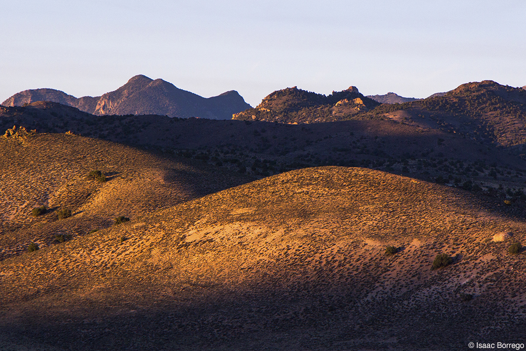
Sunset on the Pass
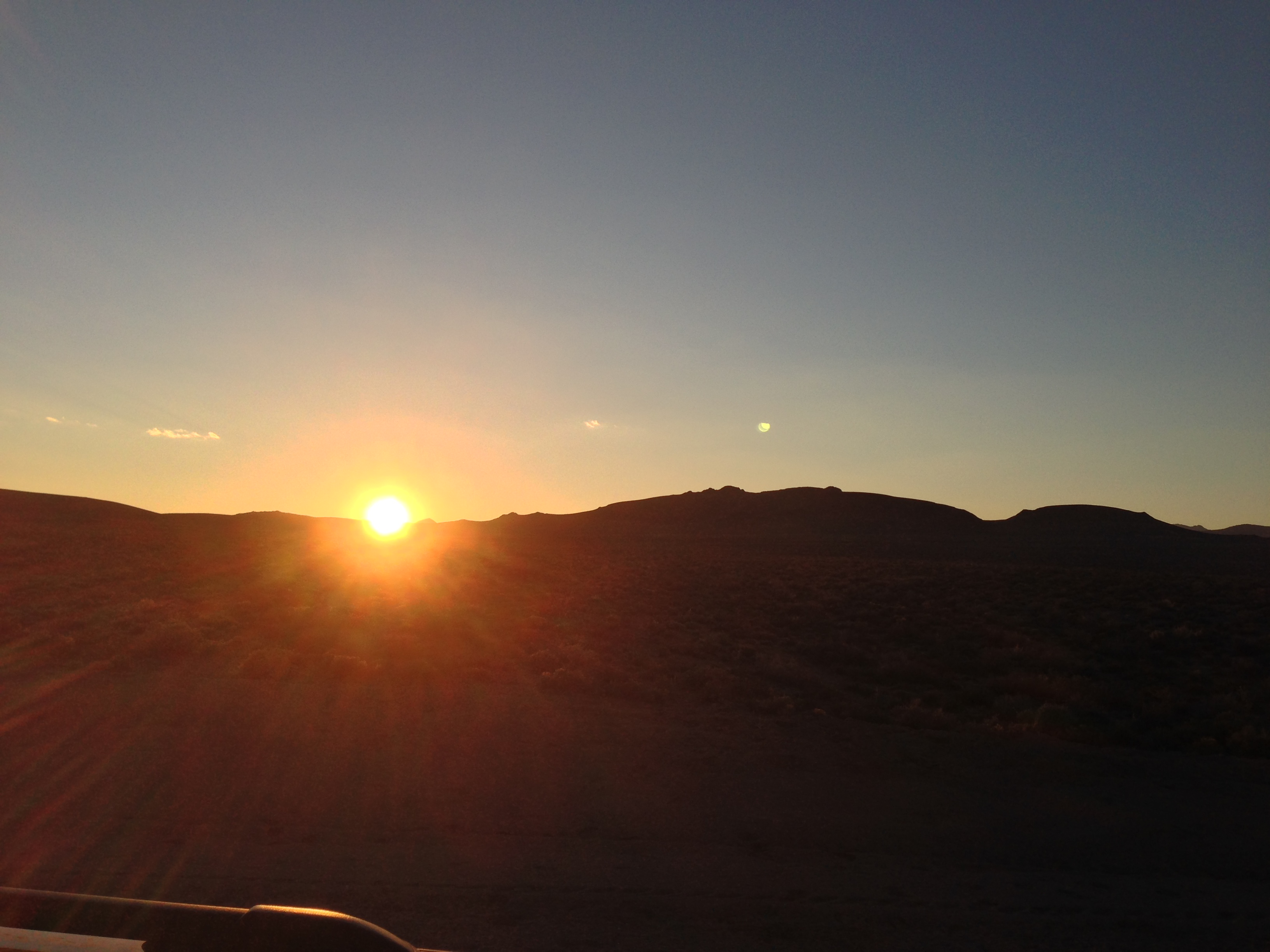
Setting Sun
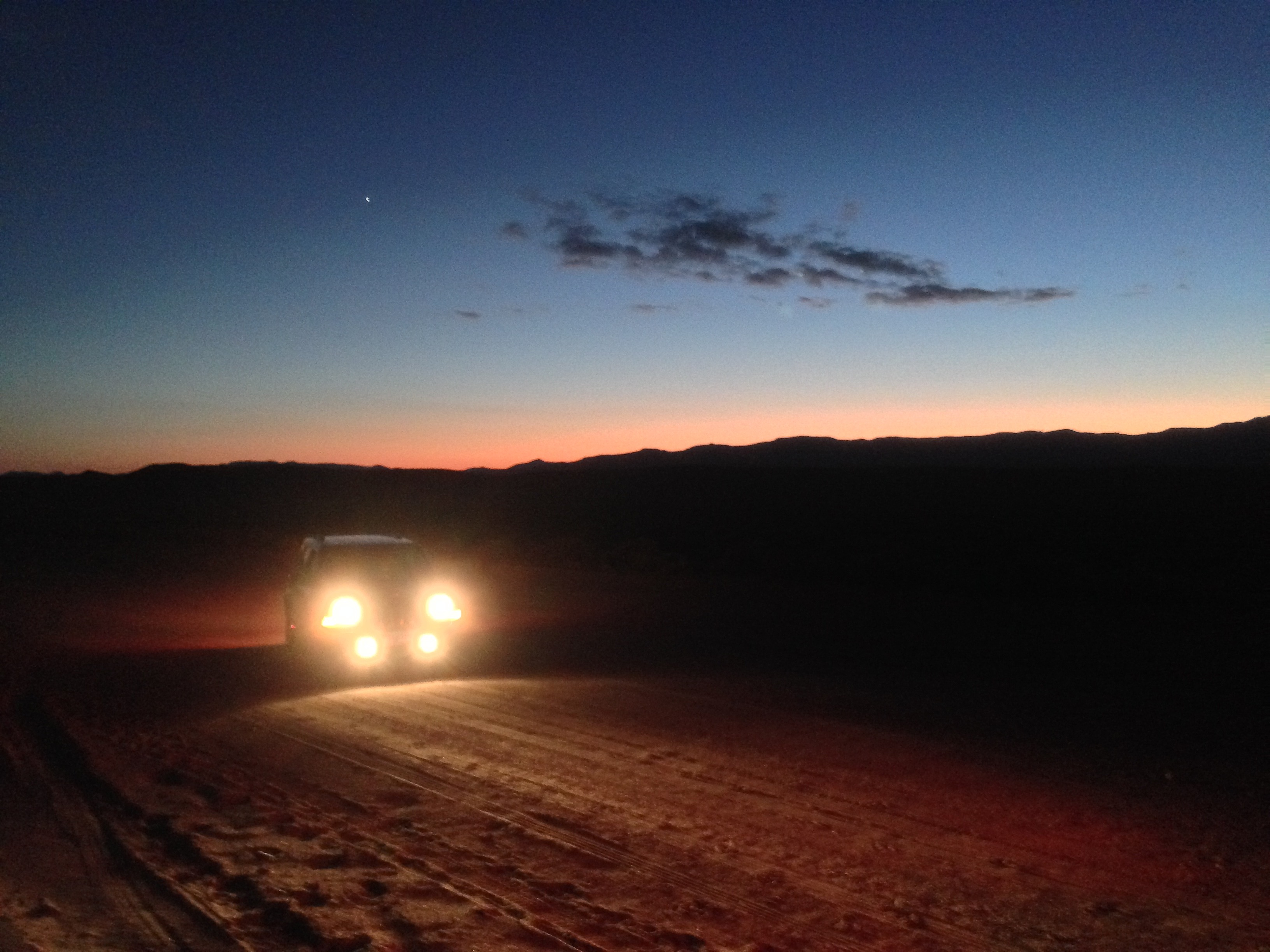
Evening caching on the E.T. Trail
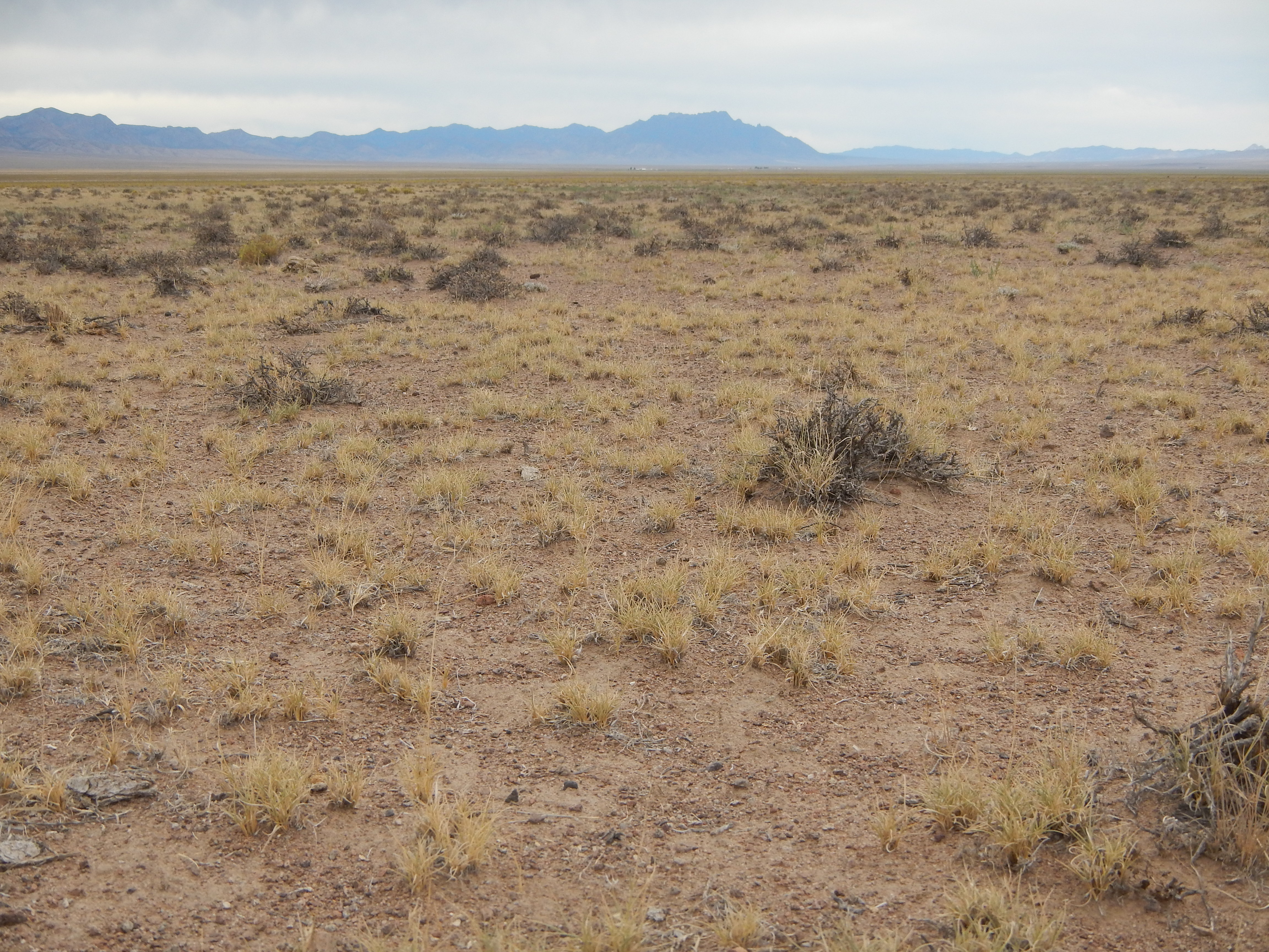
Black sagebrush steppe: jct hwy 6 & 375
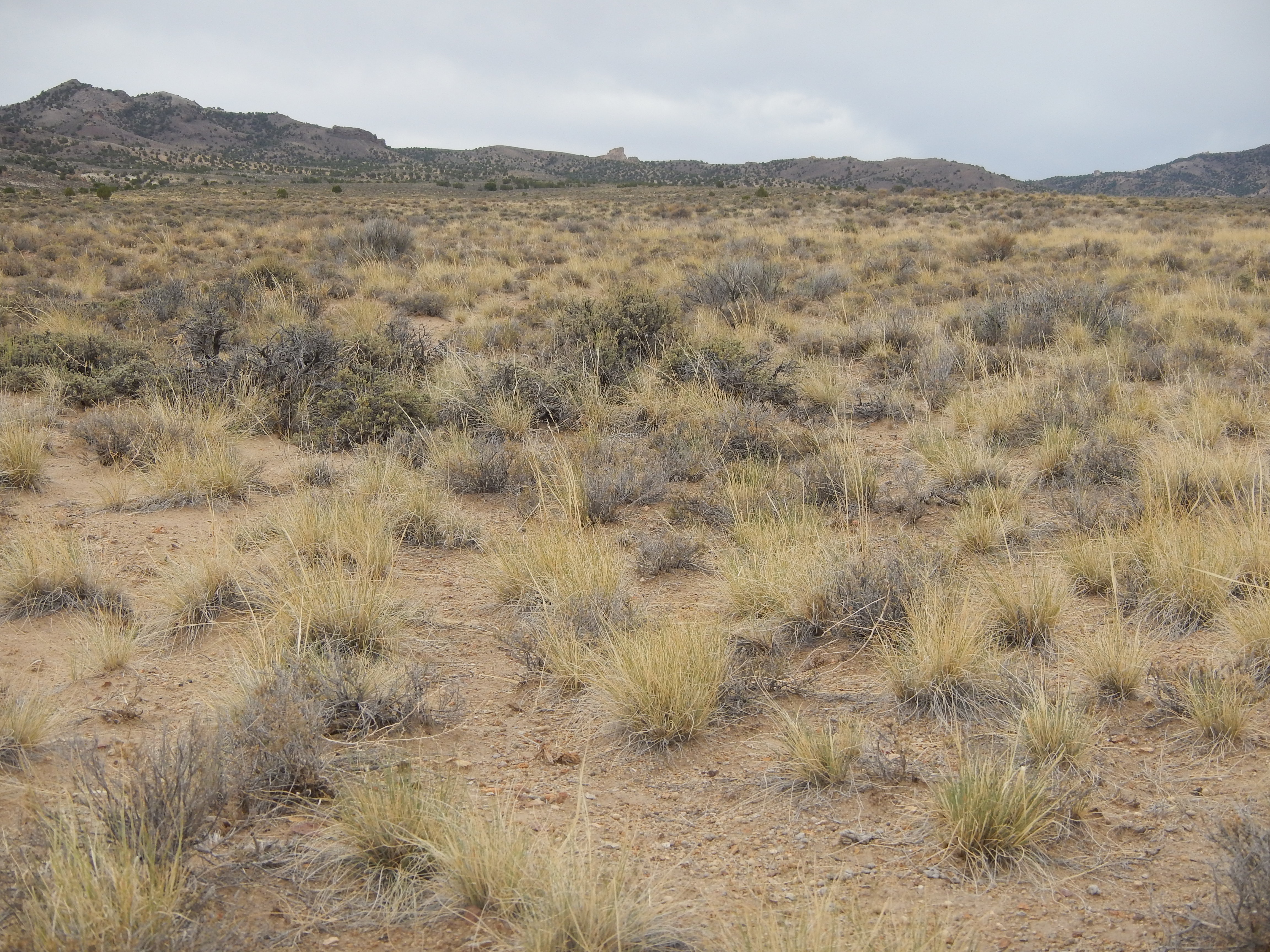
Black sagebrush steppe: Warm Springs Summit

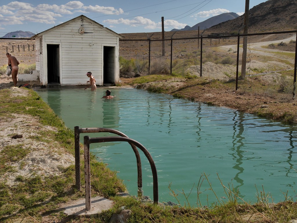
Abandoned Hot Springs
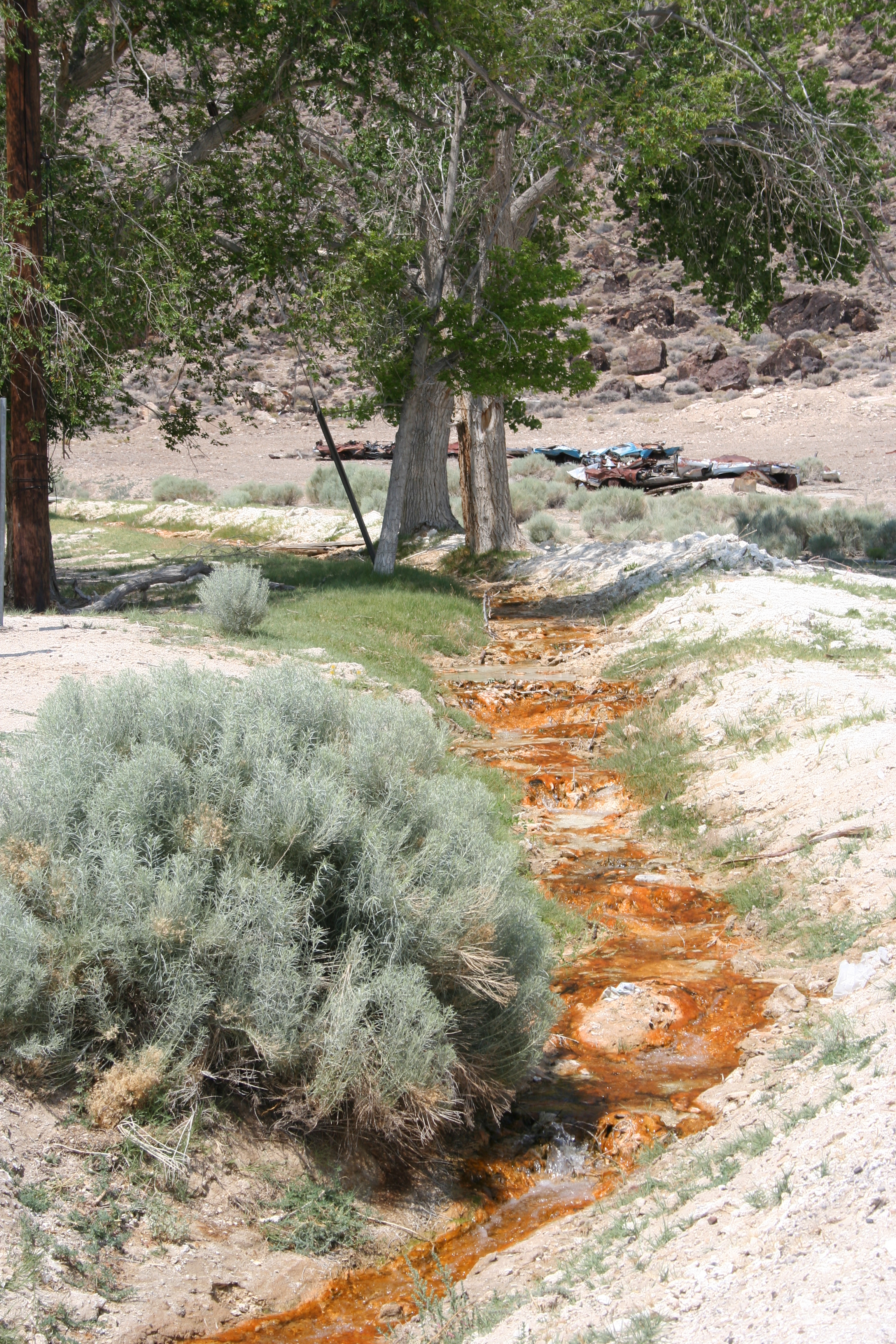
Water, Warm Springs, Nevada
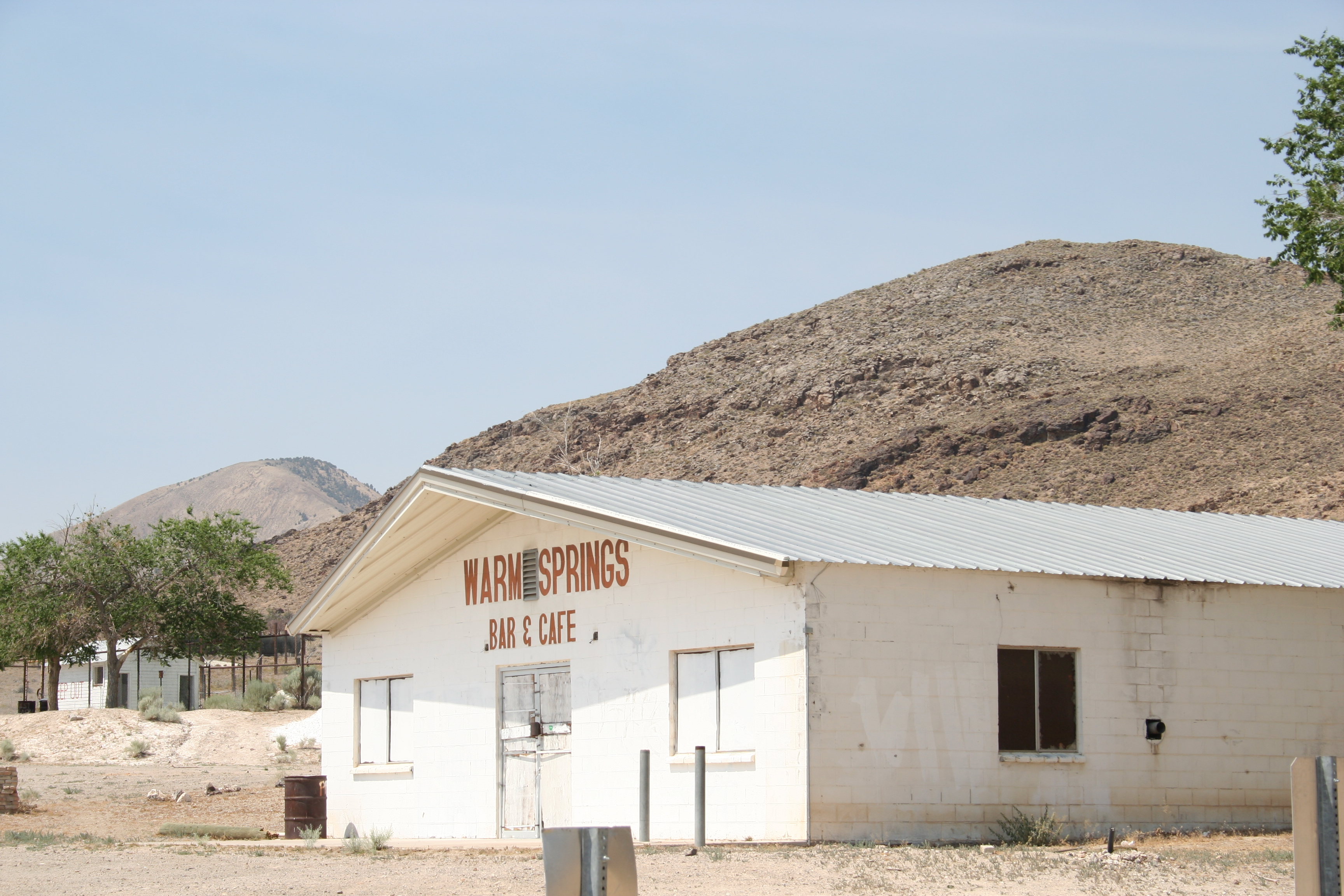
Downtown Warm Springs, Nevada
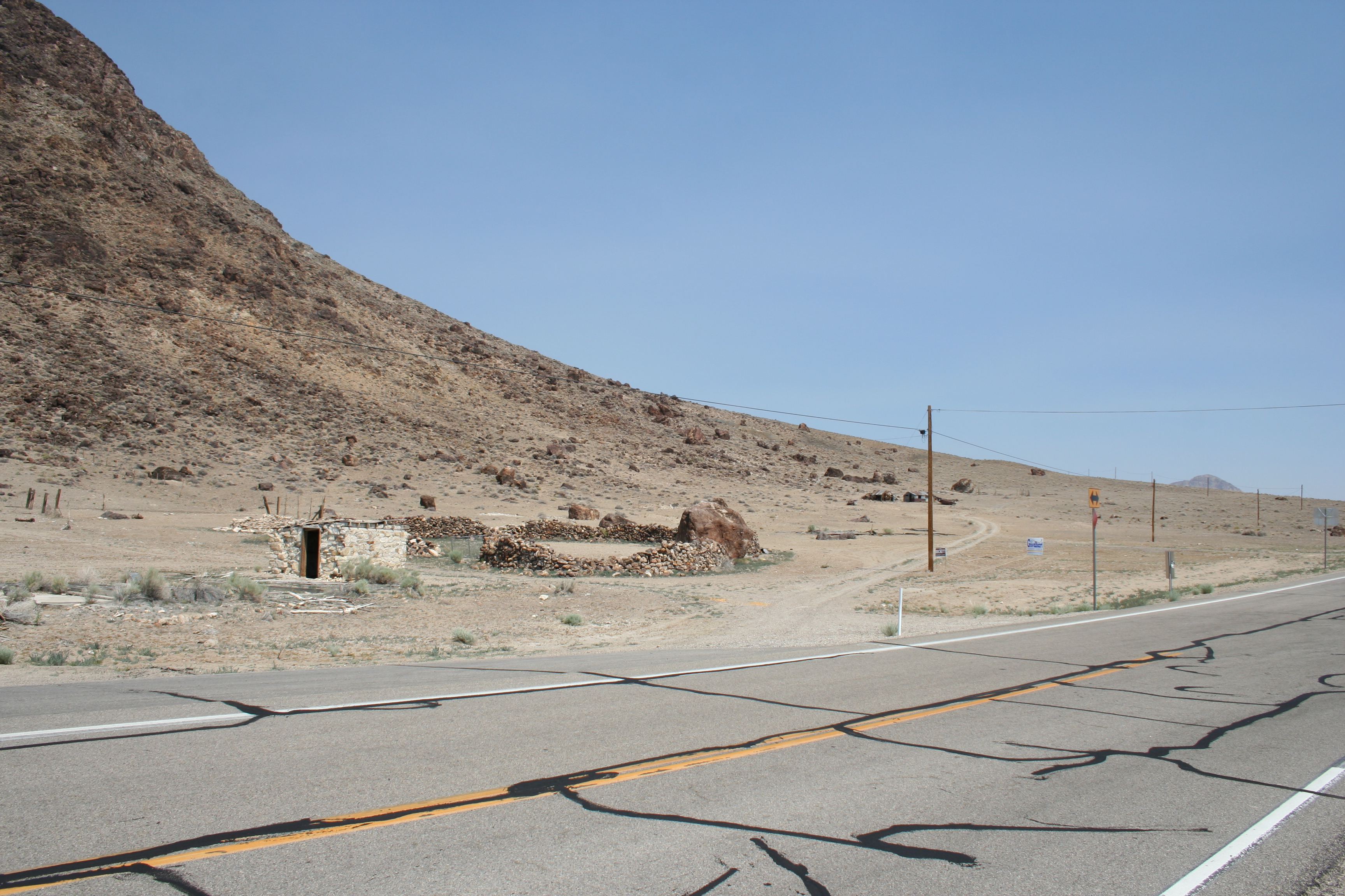
Ruins at Warm Springs, Nevada
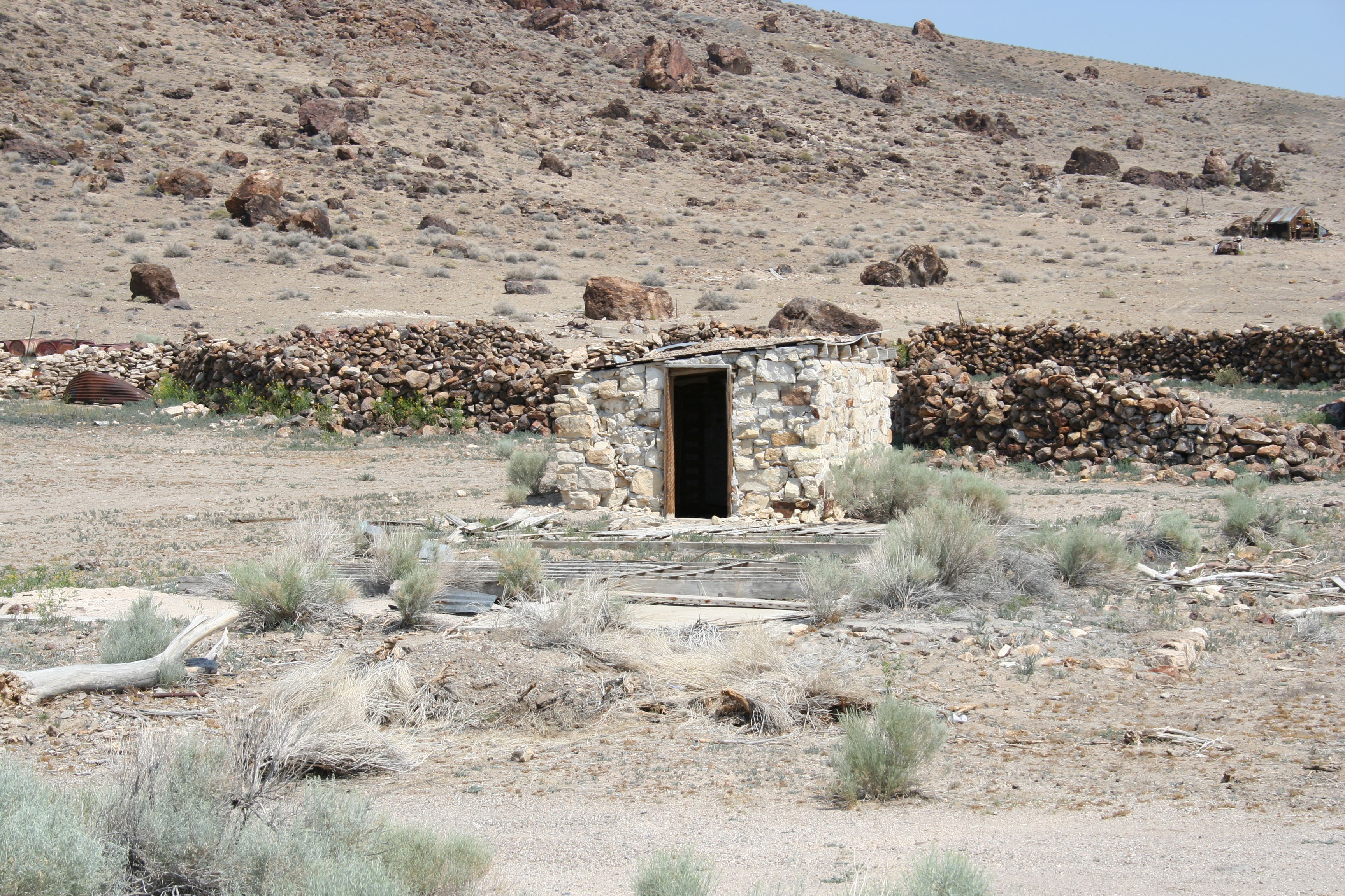
Ruins at Warm Springs, Nevada
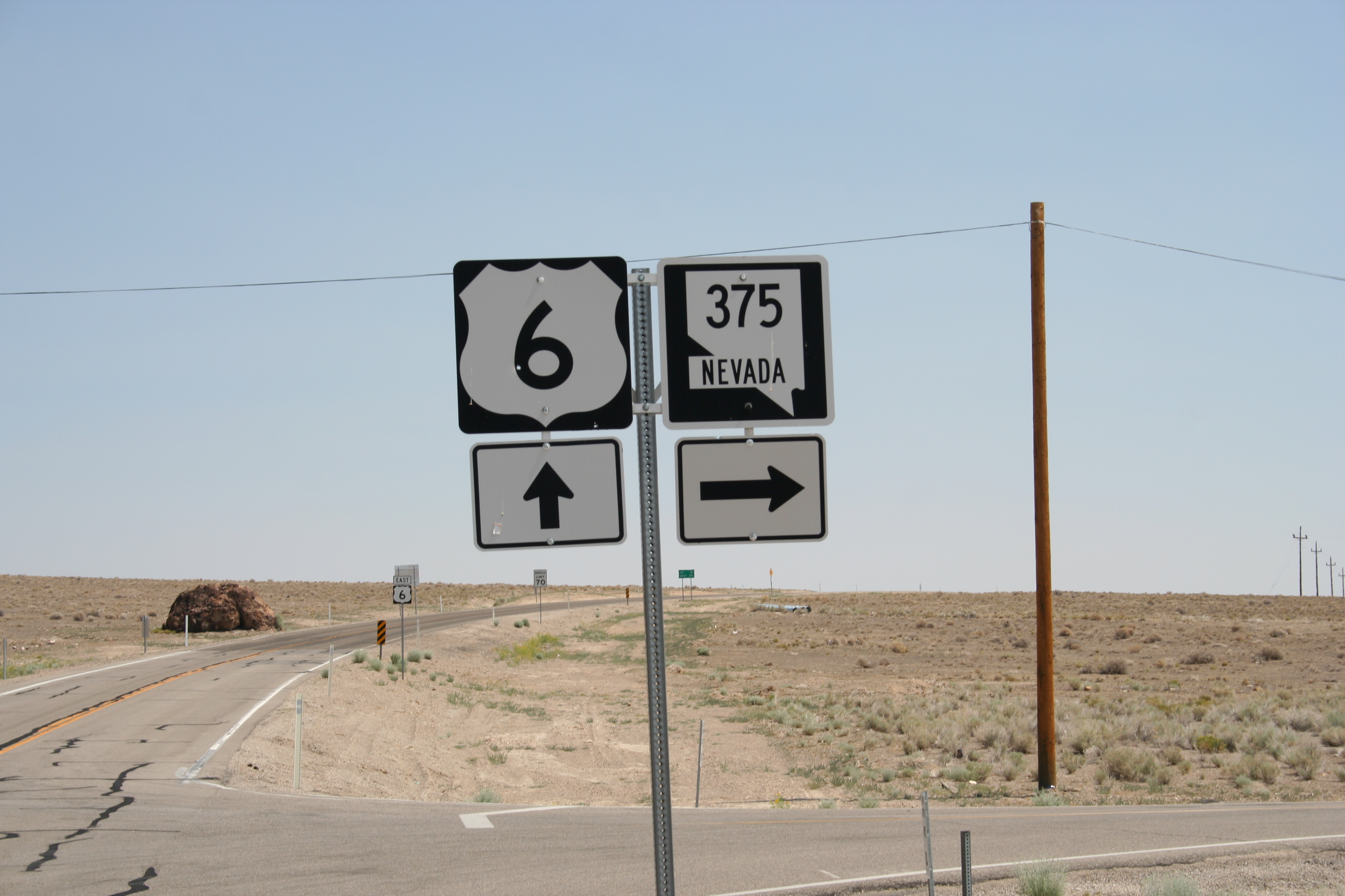
Highway 6 & 395, Nevada
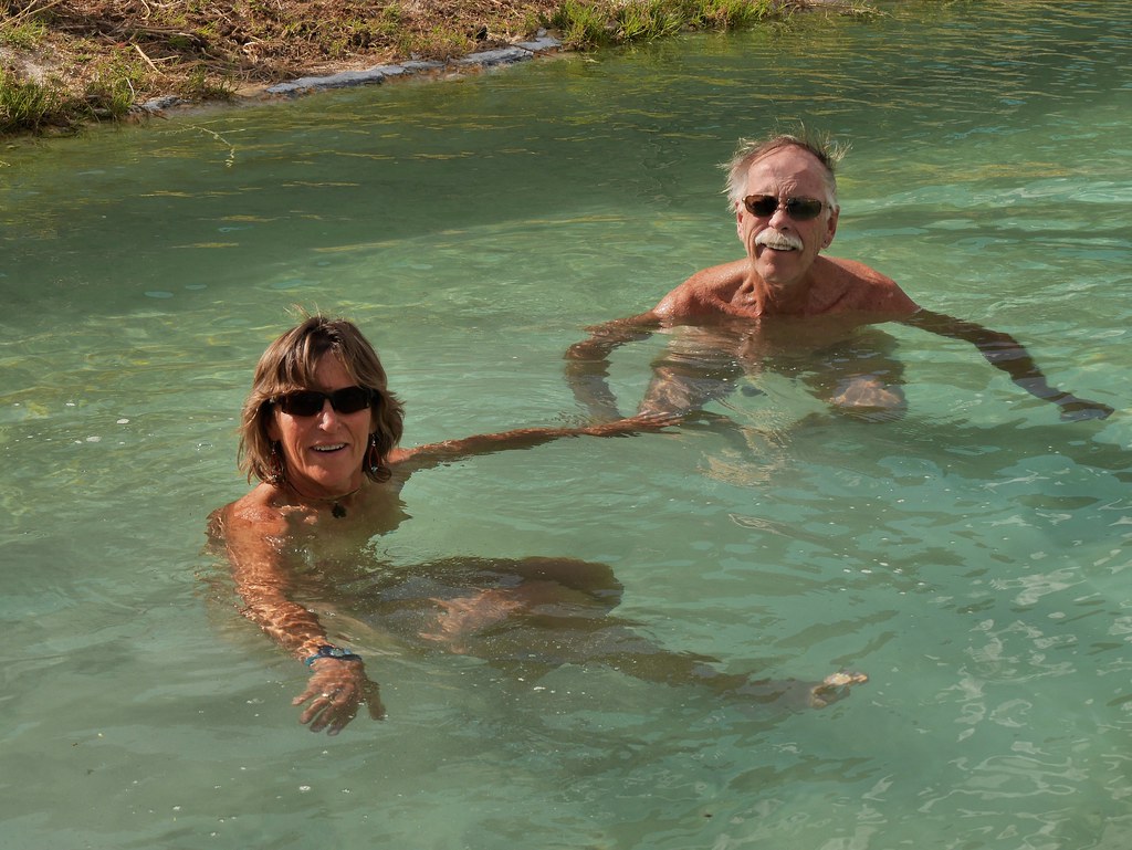
David and Susan in the pool at Warm Springs, NV
Bathing in the abandoned pool at Warm Springs, NV
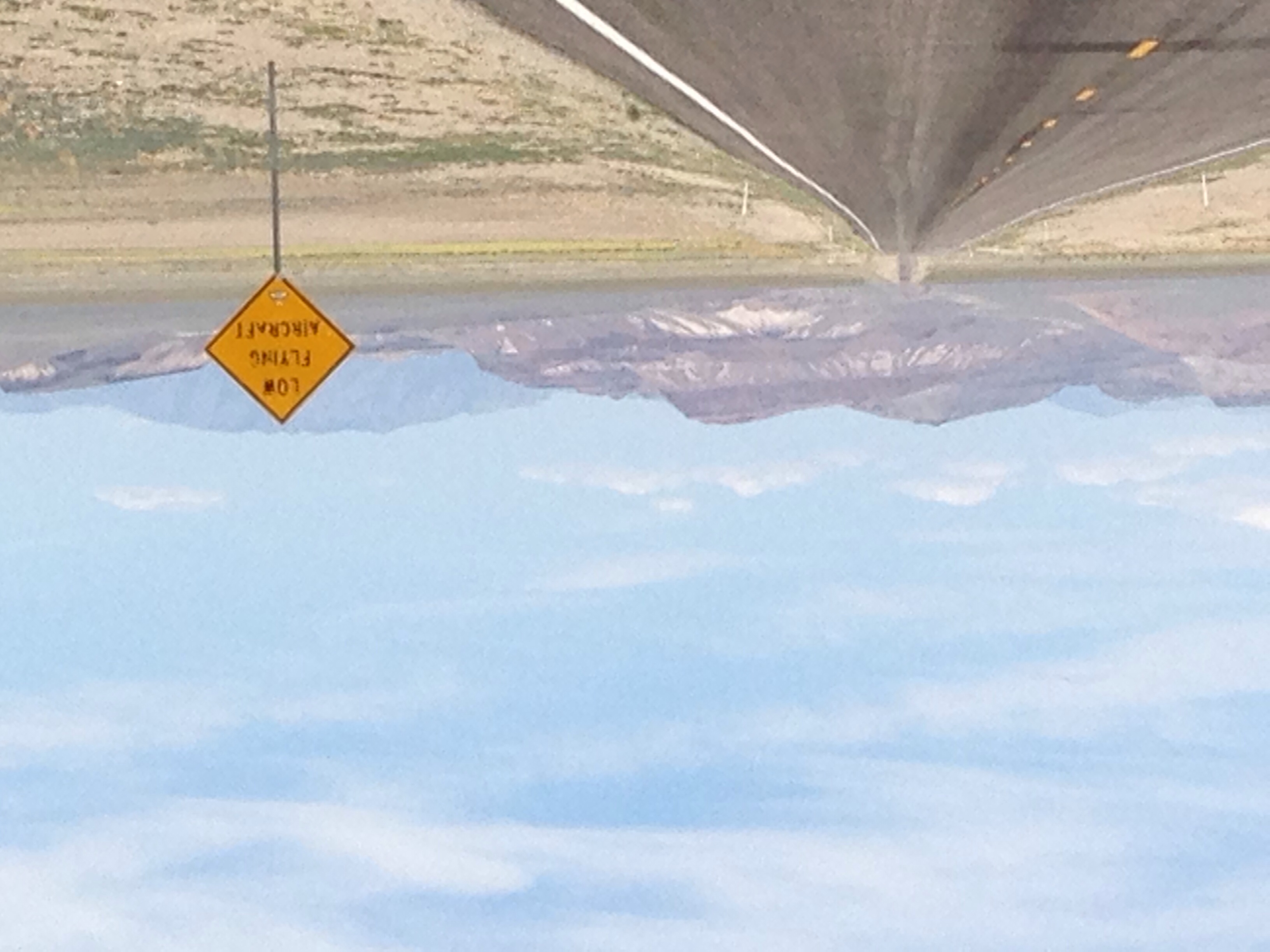
Signs of Nevada
Warm Springs, Nevada
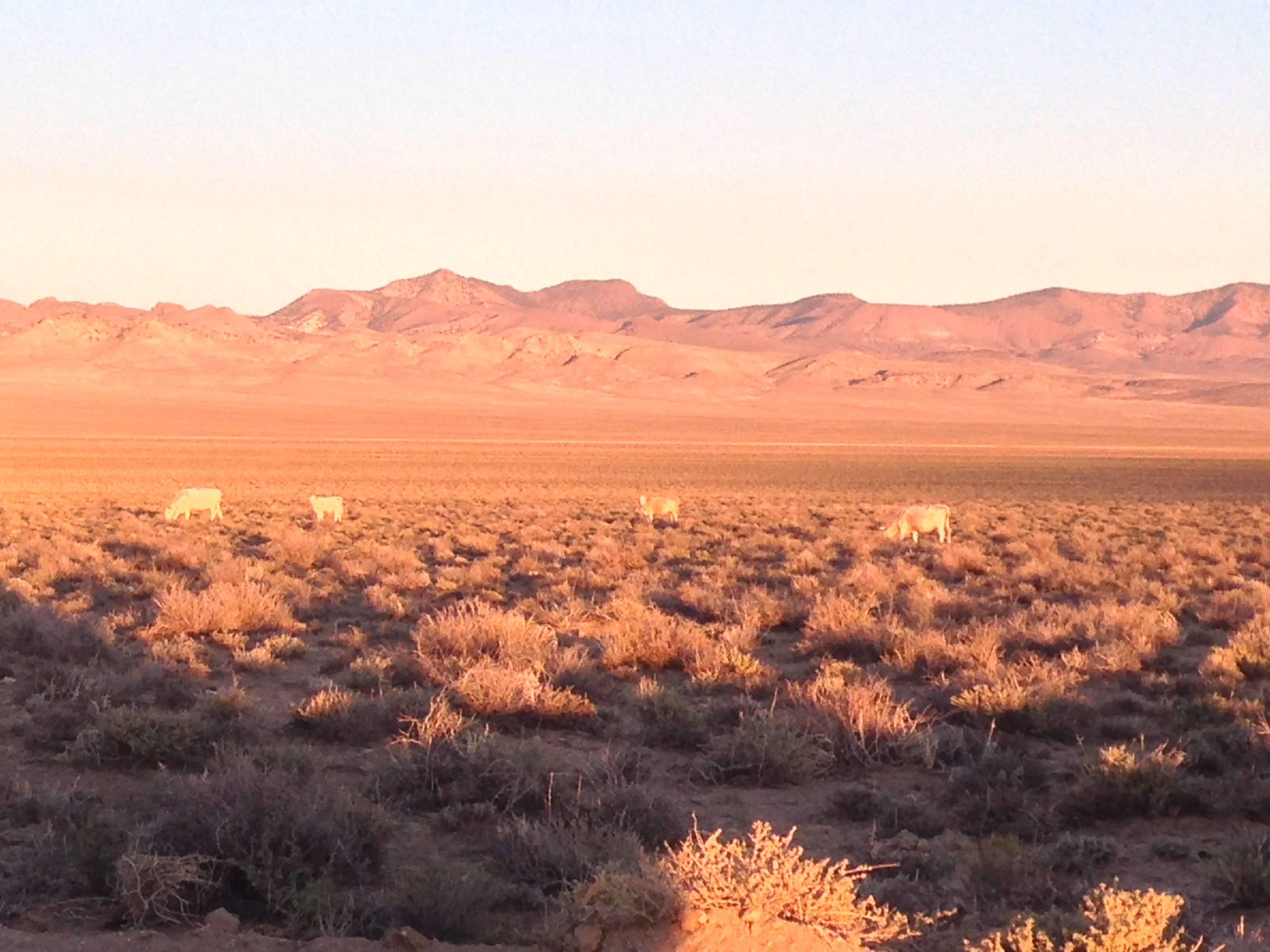
Cows in the setting sun
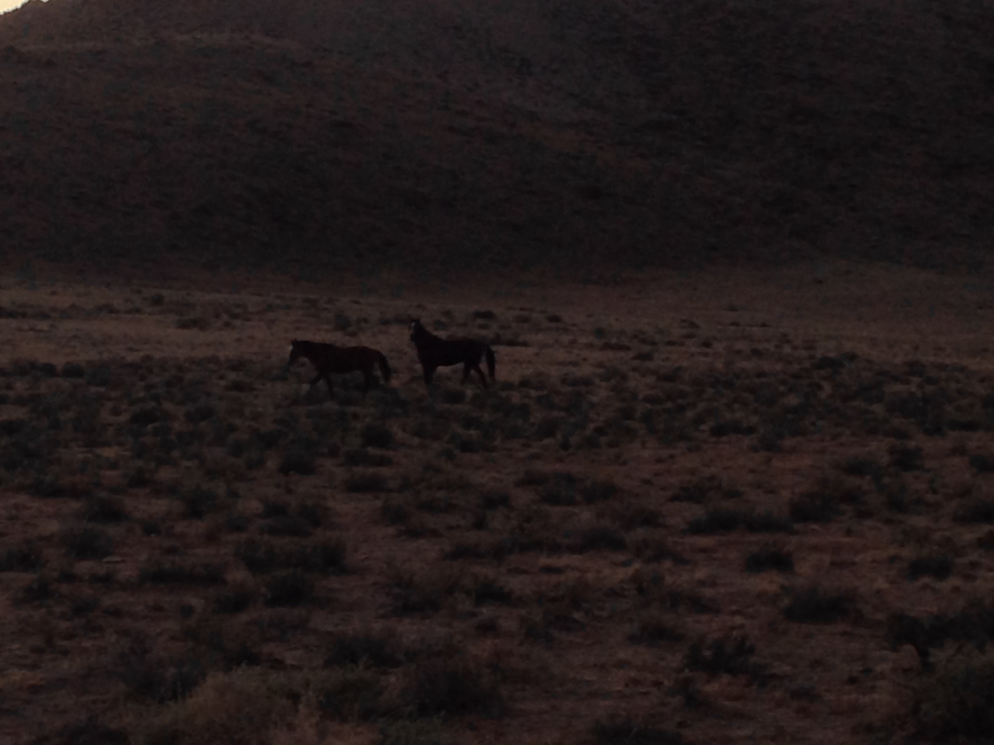
Wild Horses
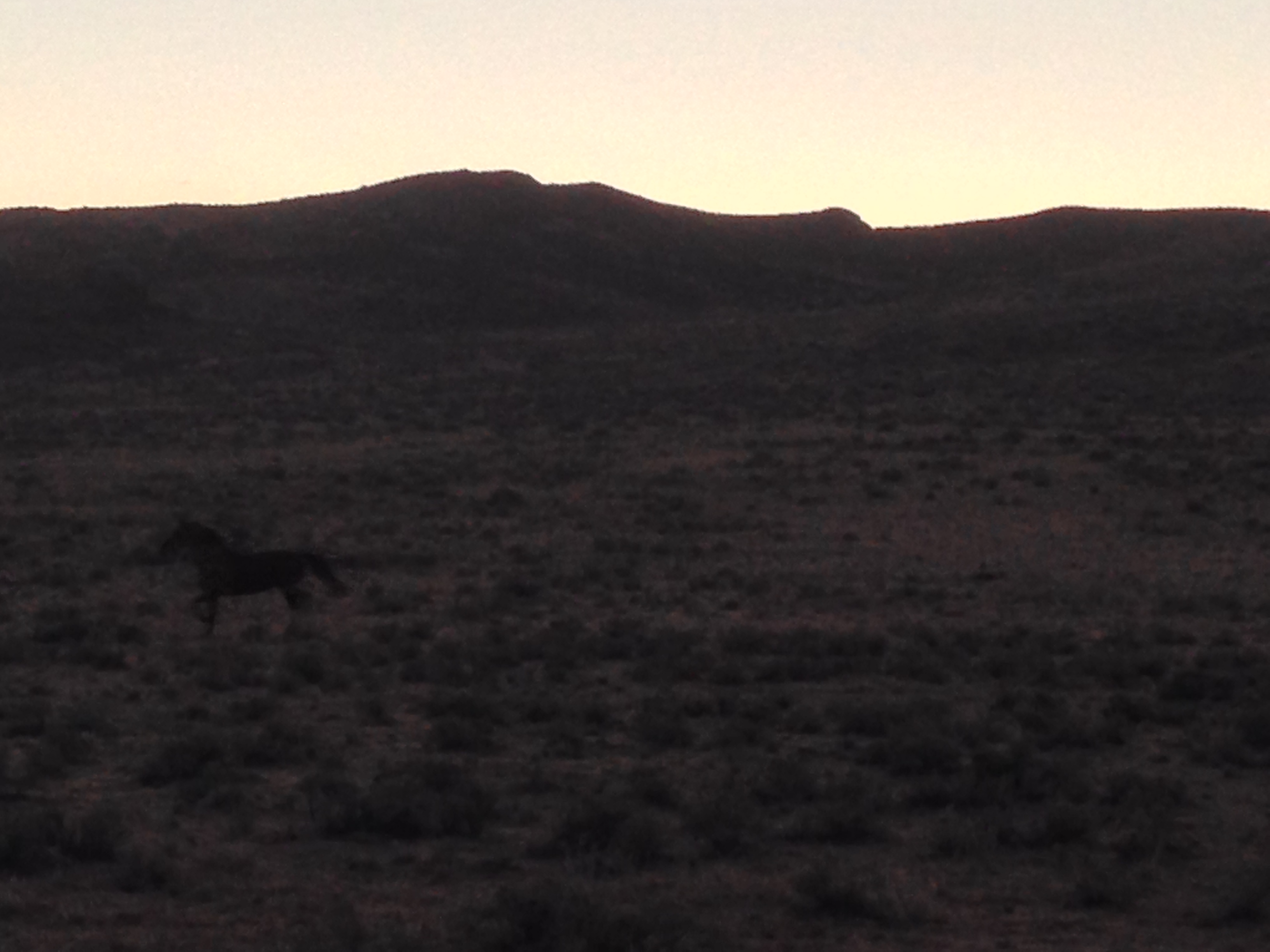
Wild Horse
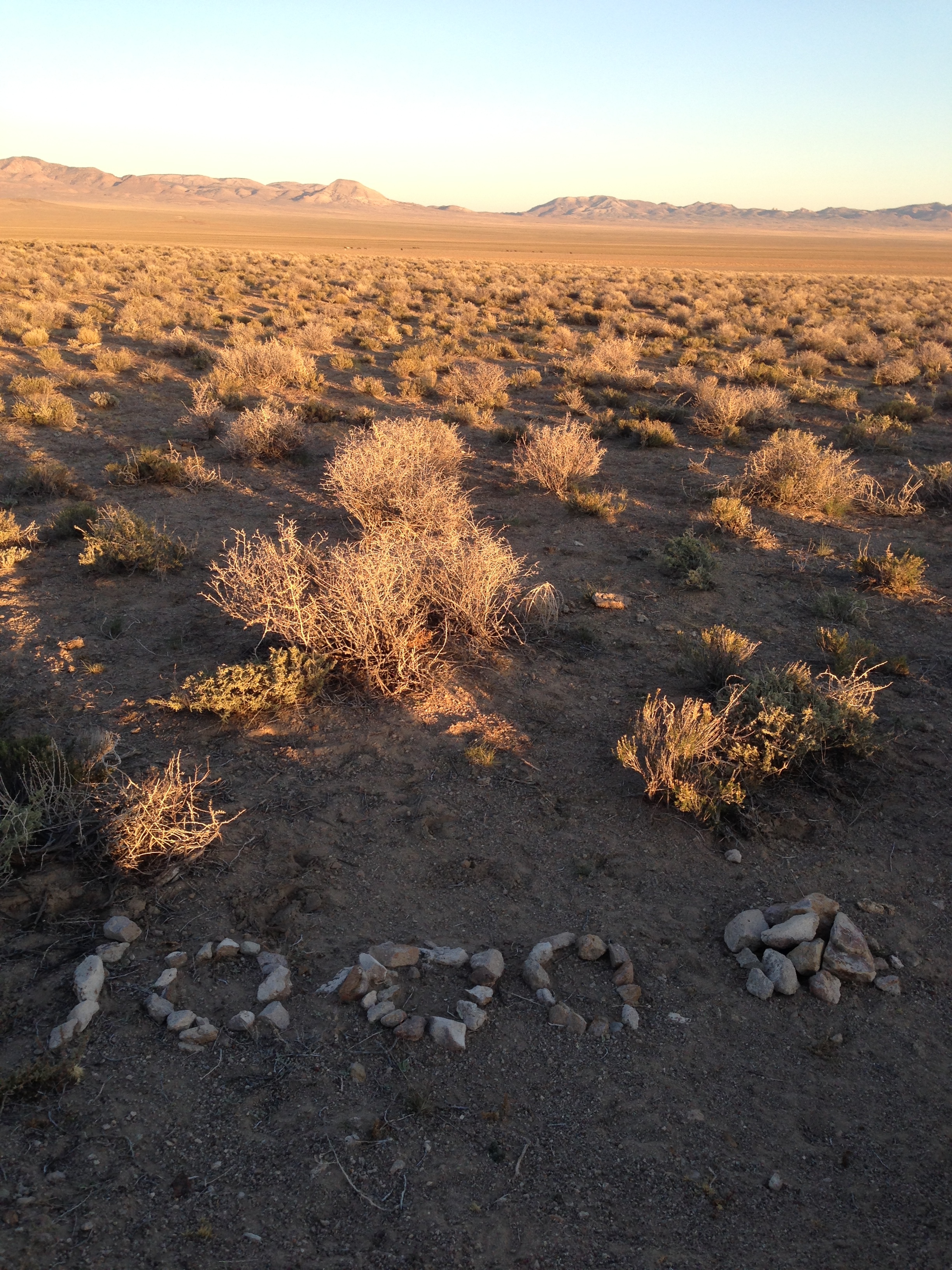
1000-ET
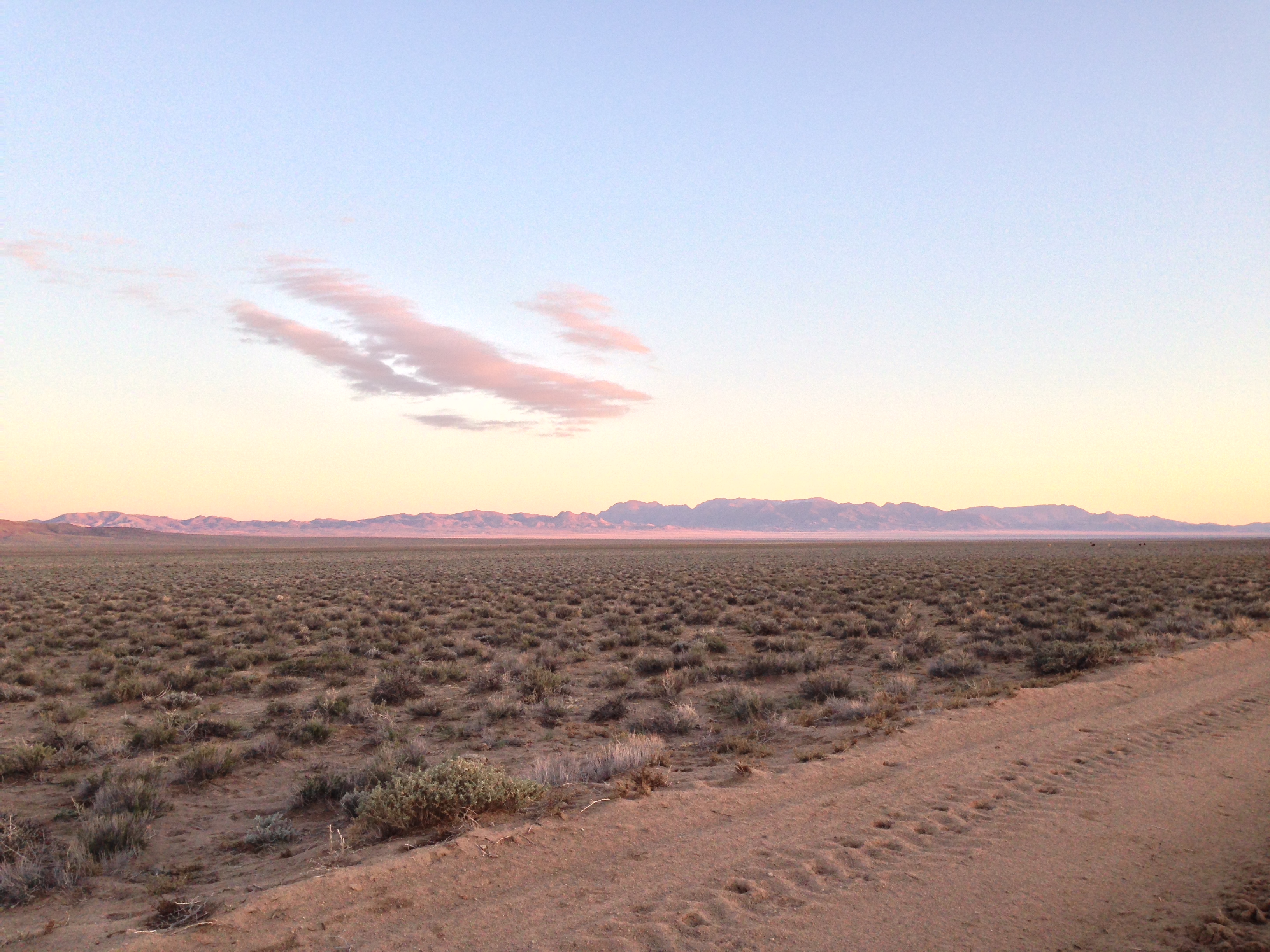
Sundown along the E.T. Trail
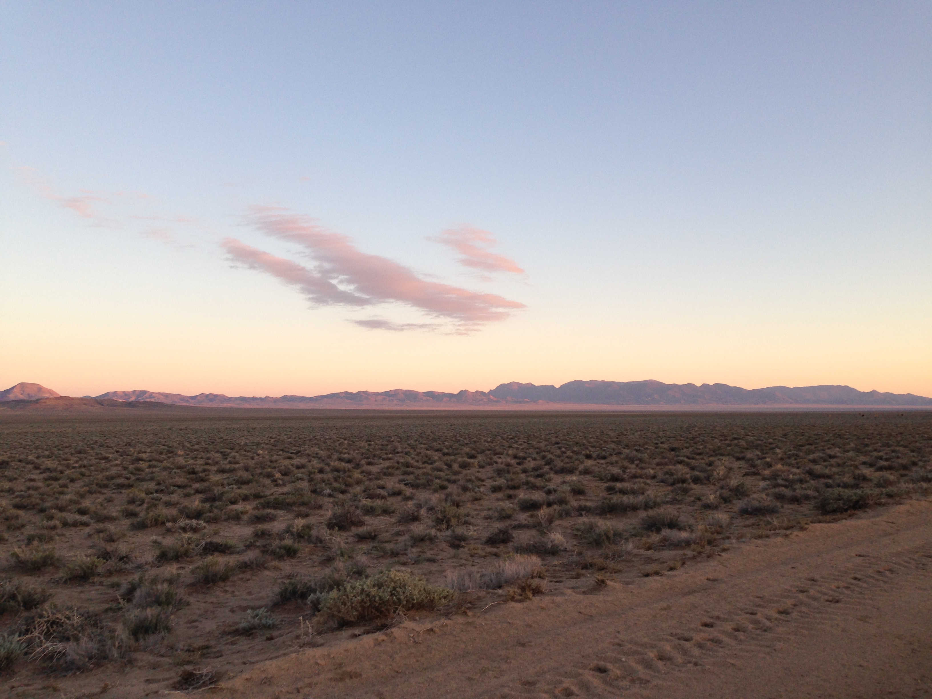
Sundown along the E.T. Trail
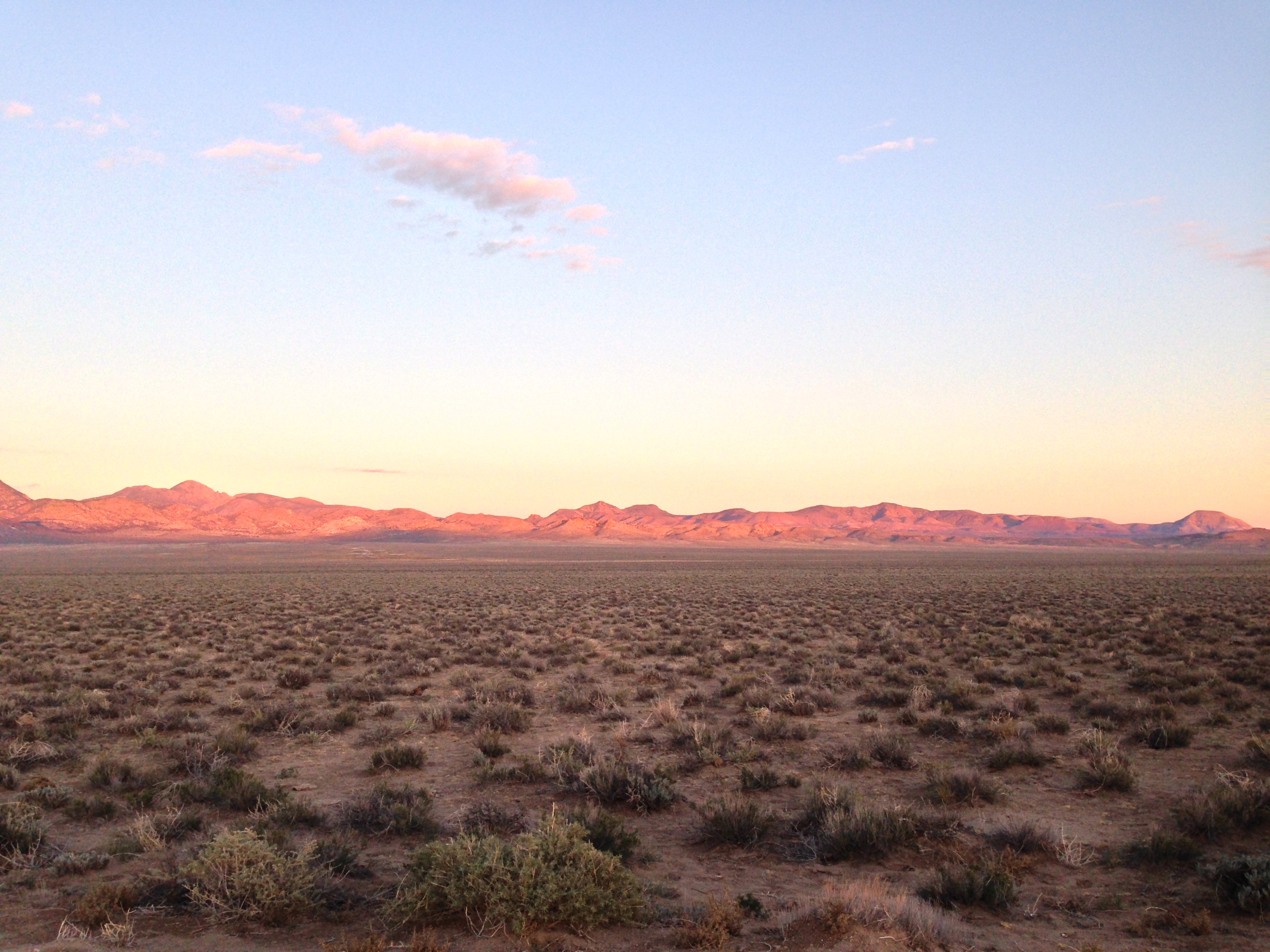
Sundown along the E.T. Trail
アメリカ合衆国 ネバダ州 リトル・ローハイド山の地図
別の場所を検索
近所の場所
アメリカ合衆国 ネバダ州 ローハイド山
アメリカ合衆国 ネバダ州 アメジスト・ピーク
アメリカ合衆国 ネバダ州 ツイン・ピークス・イースト
アメリカ合衆国 〒 ネバダ州 フラッグスタッフ山
アメリカ合衆国 ネバダ州 モリー・ピーク
アメリカ合衆国 〒 ネバダ州 マホガニー・ピーク
アメリカ合衆国 〒 ネバダ州 クレセント・ホウグバック
アメリカ合衆国 〒 ネバダ州 フィッシュフック・リッジ
アメリカ合衆国 パランプ
アメリカ合衆国 ネバダ州 ナイ
アメリカ合衆国 ネバダ州
アメリカ合衆国 ネバダ州 テーブル山
アメリカ合衆国 ネバダ州 タル山
アメリカ合衆国 ネバダ州 ブラック・ロック山
アメリカ合衆国 〒 ネバダ州 ステアーステップ山
アメリカ合衆国 〒 ネバダ州 ムーンシャイン・ピーク
アメリカ合衆国 ネバダ州 クイン・キャニオン・レンジ HP
アメリカ合衆国 ネバダ州 トロイ山
アメリカ合衆国 ネバダ州 セイボリー山
アメリカ合衆国 〒 Nevada, イーリーCherry Creek Campground
最近の検索
- Lampiasi St, Sarasota, FL, USA日の出日の入り時間
- 日本、〒- 富山県富山市窪本町12−31 APAガーデンコート稲荷日の出日の入り時間
- 台湾 宜蘭県 大同郷Jialuohu日の出日の入り時間
- 日本、〒- 愛媛県今治市関前大下大下港日の出日の入り時間
- 日本、〒- 愛媛県今治市関前大下1930−1大下港フェリー乗り場日の出日の入り時間
- San Telmo, Buenos Aires, Argentina日の出日の入り時間
- Congressional Dr, Stevensville, MD アメリカ合衆国日の出日の入り時間
- ギリシャ 〒 04 パピンゴ日の出日の入り時間
- Kranto 7-oji g. 8"N, Kaunas, リトアニアPagonija rock日の出日の入り時間
- Co Rd 87, Jamestown, CO, USA日の出日の入り時間