Listonburg Rd, Confluence, PA アメリカ合衆国日の出日の入り時間
Location: アメリカ合衆国 > ペンシルベニア州 > サマセット > アメリカ合衆国 ペンシルベニア州 アディソン >
時間帯:
America/New_York
現地時間:
2024-05-11 05:35:50
経度:
-79.309138
緯度:
39.773914
今日の日の出時刻:
06:05:18 AM
今日の日の入時刻:
08:21:53 PM
今日の日長:
14h 16m 35s
明日の日の出時刻:
06:04:20 AM
明日の日の入時刻:
08:22:50 PM
明日の日長:
14h 18m 30s
すべて表示する
| 日付 | 日出 | 日没 | 日長 |
|---|---|---|---|
| 2024年01月01日 | 07:38:22 AM | 05:03:38 PM | 9h 25m 16s |
| 2024年01月02日 | 07:38:27 AM | 05:04:28 PM | 9h 26m 1s |
| 2024年01月03日 | 07:38:30 AM | 05:05:20 PM | 9h 26m 50s |
| 2024年01月04日 | 07:38:31 AM | 05:06:14 PM | 9h 27m 43s |
| 2024年01月05日 | 07:38:30 AM | 05:07:09 PM | 9h 28m 39s |
| 2024年01月06日 | 07:38:26 AM | 05:08:05 PM | 9h 29m 39s |
| 2024年01月07日 | 07:38:20 AM | 05:09:02 PM | 9h 30m 42s |
| 2024年01月08日 | 07:38:13 AM | 05:10:00 PM | 9h 31m 47s |
| 2024年01月09日 | 07:38:02 AM | 05:11:00 PM | 9h 32m 58s |
| 2024年01月10日 | 07:37:50 AM | 05:12:01 PM | 9h 34m 11s |
| 2024年01月11日 | 07:37:36 AM | 05:13:02 PM | 9h 35m 26s |
| 2024年01月12日 | 07:37:19 AM | 05:14:05 PM | 9h 36m 46s |
| 2024年01月13日 | 07:37:00 AM | 05:15:09 PM | 9h 38m 9s |
| 2024年01月14日 | 07:36:39 AM | 05:16:13 PM | 9h 39m 34s |
| 2024年01月15日 | 07:36:16 AM | 05:17:18 PM | 9h 41m 2s |
| 2024年01月16日 | 07:35:51 AM | 05:18:24 PM | 9h 42m 33s |
| 2024年01月17日 | 07:35:23 AM | 05:19:31 PM | 9h 44m 8s |
| 2024年01月18日 | 07:34:54 AM | 05:20:38 PM | 9h 45m 44s |
| 2024年01月19日 | 07:34:22 AM | 05:21:46 PM | 9h 47m 24s |
| 2024年01月20日 | 07:33:49 AM | 05:22:55 PM | 9h 49m 6s |
| 2024年01月21日 | 07:33:13 AM | 05:24:04 PM | 9h 50m 51s |
| 2024年01月22日 | 07:32:36 AM | 05:25:13 PM | 9h 52m 37s |
| 2024年01月23日 | 07:31:56 AM | 05:26:23 PM | 9h 54m 27s |
| 2024年01月24日 | 07:31:15 AM | 05:27:33 PM | 9h 56m 18s |
| 2024年01月25日 | 07:30:32 AM | 05:28:44 PM | 9h 58m 12s |
| 2024年01月26日 | 07:29:46 AM | 05:29:55 PM | 10h 0m 9s |
| 2024年01月27日 | 07:28:59 AM | 05:31:06 PM | 10h 2m 7s |
| 2024年01月28日 | 07:28:11 AM | 05:32:17 PM | 10h 4m 6s |
| 2024年01月29日 | 07:27:20 AM | 05:33:28 PM | 10h 6m 8s |
| 2024年01月30日 | 07:26:28 AM | 05:34:40 PM | 10h 8m 12s |
| 2024年01月31日 | 07:25:33 AM | 05:35:51 PM | 10h 10m 18s |
| 2024年02月01日 | 07:24:38 AM | 05:37:03 PM | 10h 12m 25s |
| 2024年02月02日 | 07:23:40 AM | 05:38:15 PM | 10h 14m 35s |
| 2024年02月03日 | 07:22:41 AM | 05:39:27 PM | 10h 16m 46s |
| 2024年02月04日 | 07:21:40 AM | 05:40:38 PM | 10h 18m 58s |
| 2024年02月05日 | 07:20:38 AM | 05:41:50 PM | 10h 21m 12s |
| 2024年02月06日 | 07:19:34 AM | 05:43:01 PM | 10h 23m 27s |
| 2024年02月07日 | 07:18:29 AM | 05:44:13 PM | 10h 25m 44s |
| 2024年02月08日 | 07:17:23 AM | 05:45:24 PM | 10h 28m 1s |
| 2024年02月09日 | 07:16:14 AM | 05:46:35 PM | 10h 30m 21s |
| 2024年02月10日 | 07:15:05 AM | 05:47:46 PM | 10h 32m 41s |
| 2024年02月11日 | 07:13:54 AM | 05:48:57 PM | 10h 35m 3s |
| 2024年02月12日 | 07:12:42 AM | 05:50:07 PM | 10h 37m 25s |
| 2024年02月13日 | 07:11:29 AM | 05:51:18 PM | 10h 39m 49s |
| 2024年02月14日 | 07:10:14 AM | 05:52:28 PM | 10h 42m 14s |
| 2024年02月15日 | 07:08:58 AM | 05:53:38 PM | 10h 44m 40s |
| 2024年02月16日 | 07:07:41 AM | 05:54:47 PM | 10h 47m 6s |
| 2024年02月17日 | 07:06:23 AM | 05:55:56 PM | 10h 49m 33s |
| 2024年02月18日 | 07:05:04 AM | 05:57:05 PM | 10h 52m 1s |
| 2024年02月19日 | 07:03:44 AM | 05:58:14 PM | 10h 54m 30s |
| 2024年02月20日 | 07:02:22 AM | 05:59:23 PM | 10h 57m 1s |
| 2024年02月21日 | 07:01:00 AM | 06:00:31 PM | 10h 59m 31s |
| 2024年02月22日 | 06:59:37 AM | 06:01:39 PM | 11h 2m 2s |
| 2024年02月23日 | 06:58:12 AM | 06:02:46 PM | 11h 4m 34s |
| 2024年02月24日 | 06:56:47 AM | 06:03:53 PM | 11h 7m 6s |
| 2024年02月25日 | 06:55:21 AM | 06:05:00 PM | 11h 9m 39s |
| 2024年02月26日 | 06:53:55 AM | 06:06:07 PM | 11h 12m 12s |
| 2024年02月27日 | 06:52:27 AM | 06:07:13 PM | 11h 14m 46s |
| 2024年02月28日 | 06:50:59 AM | 06:08:19 PM | 11h 17m 20s |
| 2024年02月29日 | 06:49:30 AM | 06:09:25 PM | 11h 19m 55s |
| 2024年03月01日 | 06:48:00 AM | 06:10:30 PM | 11h 22m 30s |
| 2024年03月02日 | 06:46:30 AM | 06:11:35 PM | 11h 25m 5s |
| 2024年03月03日 | 06:44:59 AM | 06:12:40 PM | 11h 27m 41s |
| 2024年03月04日 | 06:43:27 AM | 06:13:45 PM | 11h 30m 18s |
| 2024年03月05日 | 06:41:55 AM | 06:14:49 PM | 11h 32m 54s |
| 2024年03月06日 | 06:40:22 AM | 06:15:53 PM | 11h 35m 31s |
| 2024年03月07日 | 06:38:49 AM | 06:16:57 PM | 11h 38m 8s |
| 2024年03月08日 | 06:37:15 AM | 06:18:00 PM | 11h 40m 45s |
| 2024年03月09日 | 06:35:41 AM | 06:19:03 PM | 11h 43m 22s |
| 2024年03月10日 | 07:34:11 AM | 07:20:04 PM | 11h 45m 53s |
| 2024年03月11日 | 07:32:36 AM | 07:21:06 PM | 11h 48m 30s |
| 2024年03月12日 | 07:31:01 AM | 07:22:09 PM | 11h 51m 8s |
| 2024年03月13日 | 07:29:25 AM | 07:23:11 PM | 11h 53m 46s |
| 2024年03月14日 | 07:27:50 AM | 07:24:13 PM | 11h 56m 23s |
| 2024年03月15日 | 07:26:14 AM | 07:25:15 PM | 11h 59m 1s |
| 2024年03月16日 | 07:24:37 AM | 07:26:17 PM | 12h 1m 40s |
| 2024年03月17日 | 07:23:01 AM | 07:27:19 PM | 12h 4m 18s |
| 2024年03月18日 | 07:21:24 AM | 07:28:20 PM | 12h 6m 56s |
| 2024年03月19日 | 07:19:48 AM | 07:29:21 PM | 12h 9m 33s |
| 2024年03月20日 | 07:18:11 AM | 07:30:22 PM | 12h 12m 11s |
| 2024年03月21日 | 07:16:34 AM | 07:31:23 PM | 12h 14m 49s |
| 2024年03月22日 | 07:14:57 AM | 07:32:24 PM | 12h 17m 27s |
| 2024年03月23日 | 07:13:21 AM | 07:33:25 PM | 12h 20m 4s |
| 2024年03月24日 | 07:11:44 AM | 07:34:25 PM | 12h 22m 41s |
| 2024年03月25日 | 07:10:07 AM | 07:35:26 PM | 12h 25m 19s |
| 2024年03月26日 | 07:08:30 AM | 07:36:26 PM | 12h 27m 56s |
| 2024年03月27日 | 07:06:54 AM | 07:37:27 PM | 12h 30m 33s |
| 2024年03月28日 | 07:05:17 AM | 07:38:27 PM | 12h 33m 10s |
| 2024年03月29日 | 07:03:41 AM | 07:39:27 PM | 12h 35m 46s |
| 2024年03月30日 | 07:02:05 AM | 07:40:28 PM | 12h 38m 23s |
| 2024年03月31日 | 07:00:29 AM | 07:41:28 PM | 12h 40m 59s |
| 2024年04月01日 | 06:58:54 AM | 07:42:28 PM | 12h 43m 34s |
| 2024年04月02日 | 06:57:19 AM | 07:43:28 PM | 12h 46m 9s |
| 2024年04月03日 | 06:55:44 AM | 07:44:28 PM | 12h 48m 44s |
| 2024年04月04日 | 06:54:09 AM | 07:45:28 PM | 12h 51m 19s |
| 2024年04月05日 | 06:52:35 AM | 07:46:28 PM | 12h 53m 53s |
| 2024年04月06日 | 06:51:01 AM | 07:47:28 PM | 12h 56m 27s |
| 2024年04月07日 | 06:49:28 AM | 07:48:29 PM | 12h 59m 1s |
| 2024年04月08日 | 06:47:56 AM | 07:49:29 PM | 13h 1m 33s |
| 2024年04月09日 | 06:46:23 AM | 07:50:29 PM | 13h 4m 6s |
| 2024年04月10日 | 06:44:52 AM | 07:51:29 PM | 13h 6m 37s |
| 2024年04月11日 | 06:43:20 AM | 07:52:29 PM | 13h 9m 9s |
| 2024年04月12日 | 06:41:50 AM | 07:53:29 PM | 13h 11m 39s |
| 2024年04月13日 | 06:40:20 AM | 07:54:30 PM | 13h 14m 10s |
| 2024年04月14日 | 06:38:51 AM | 07:55:30 PM | 13h 16m 39s |
| 2024年04月15日 | 06:37:22 AM | 07:56:30 PM | 13h 19m 8s |
| 2024年04月16日 | 06:35:55 AM | 07:57:31 PM | 13h 21m 36s |
| 2024年04月17日 | 06:34:28 AM | 07:58:31 PM | 13h 24m 3s |
| 2024年04月18日 | 06:33:01 AM | 07:59:31 PM | 13h 26m 30s |
| 2024年04月19日 | 06:31:36 AM | 08:00:32 PM | 13h 28m 56s |
| 2024年04月20日 | 06:30:11 AM | 08:01:32 PM | 13h 31m 21s |
| 2024年04月21日 | 06:28:48 AM | 08:02:32 PM | 13h 33m 44s |
| 2024年04月22日 | 06:27:25 AM | 08:03:33 PM | 13h 36m 8s |
| 2024年04月23日 | 06:26:03 AM | 08:04:33 PM | 13h 38m 30s |
| 2024年04月24日 | 06:24:42 AM | 08:05:34 PM | 13h 40m 52s |
| 2024年04月25日 | 06:23:23 AM | 08:06:34 PM | 13h 43m 11s |
| 2024年04月26日 | 06:22:04 AM | 08:07:34 PM | 13h 45m 30s |
| 2024年04月27日 | 06:20:46 AM | 08:08:34 PM | 13h 47m 48s |
| 2024年04月28日 | 06:19:30 AM | 08:09:35 PM | 13h 50m 5s |
| 2024年04月29日 | 06:18:14 AM | 08:10:35 PM | 13h 52m 21s |
| 2024年04月30日 | 06:17:00 AM | 08:11:35 PM | 13h 54m 35s |
| 2024年05月01日 | 06:15:47 AM | 08:12:34 PM | 13h 56m 47s |
| 2024年05月02日 | 06:14:35 AM | 08:13:34 PM | 13h 58m 59s |
| 2024年05月03日 | 06:13:25 AM | 08:14:34 PM | 14h 1m 9s |
| 2024年05月04日 | 06:12:15 AM | 08:15:33 PM | 14h 3m 18s |
| 2024年05月05日 | 06:11:07 AM | 08:16:32 PM | 14h 5m 25s |
| 2024年05月06日 | 06:10:01 AM | 08:17:31 PM | 14h 7m 30s |
| 2024年05月07日 | 06:08:55 AM | 08:18:30 PM | 14h 9m 35s |
| 2024年05月08日 | 06:07:52 AM | 08:19:28 PM | 14h 11m 36s |
| 2024年05月09日 | 06:06:49 AM | 08:20:27 PM | 14h 13m 38s |
| 2024年05月10日 | 06:05:48 AM | 08:21:24 PM | 14h 15m 36s |
| 2024年05月11日 | 06:04:49 AM | 08:22:22 PM | 14h 17m 33s |
| 2024年05月12日 | 06:03:51 AM | 08:23:19 PM | 14h 19m 28s |
| 2024年05月13日 | 06:02:55 AM | 08:24:16 PM | 14h 21m 21s |
| 2024年05月14日 | 06:02:00 AM | 08:25:12 PM | 14h 23m 12s |
| 2024年05月15日 | 06:01:07 AM | 08:26:08 PM | 14h 25m 1s |
| 2024年05月16日 | 06:00:15 AM | 08:27:03 PM | 14h 26m 48s |
| 2024年05月17日 | 05:59:25 AM | 08:27:58 PM | 14h 28m 33s |
| 2024年05月18日 | 05:58:37 AM | 08:28:52 PM | 14h 30m 15s |
| 2024年05月19日 | 05:57:51 AM | 08:29:45 PM | 14h 31m 54s |
| 2024年05月20日 | 05:57:06 AM | 08:30:38 PM | 14h 33m 32s |
| 2024年05月21日 | 05:56:23 AM | 08:31:30 PM | 14h 35m 7s |
| 2024年05月22日 | 05:55:42 AM | 08:32:22 PM | 14h 36m 40s |
| 2024年05月23日 | 05:55:02 AM | 08:33:12 PM | 14h 38m 10s |
| 2024年05月24日 | 05:54:24 AM | 08:34:02 PM | 14h 39m 38s |
| 2024年05月25日 | 05:53:49 AM | 08:34:51 PM | 14h 41m 2s |
| 2024年05月26日 | 05:53:15 AM | 08:35:39 PM | 14h 42m 24s |
| 2024年05月27日 | 05:52:42 AM | 08:36:27 PM | 14h 43m 45s |
| 2024年05月28日 | 05:52:12 AM | 08:37:13 PM | 14h 45m 1s |
| 2024年05月29日 | 05:51:44 AM | 08:37:58 PM | 14h 46m 14s |
| 2024年05月30日 | 05:51:17 AM | 08:38:42 PM | 14h 47m 25s |
| 2024年05月31日 | 05:50:53 AM | 08:39:25 PM | 14h 48m 32s |
| 2024年06月01日 | 05:50:30 AM | 08:40:07 PM | 14h 49m 37s |
| 2024年06月02日 | 05:50:09 AM | 08:40:48 PM | 14h 50m 39s |
| 2024年06月03日 | 05:49:50 AM | 08:41:27 PM | 14h 51m 37s |
| 2024年06月04日 | 05:49:33 AM | 08:42:05 PM | 14h 52m 32s |
| 2024年06月05日 | 05:49:19 AM | 08:42:42 PM | 14h 53m 23s |
| 2024年06月06日 | 05:49:05 AM | 08:43:18 PM | 14h 54m 13s |
| 2024年06月07日 | 05:48:54 AM | 08:43:52 PM | 14h 54m 58s |
| 2024年06月08日 | 05:48:45 AM | 08:44:25 PM | 14h 55m 40s |
| 2024年06月09日 | 05:48:38 AM | 08:44:56 PM | 14h 56m 18s |
| 2024年06月10日 | 05:48:33 AM | 08:45:26 PM | 14h 56m 53s |
| 2024年06月11日 | 05:48:29 AM | 08:45:54 PM | 14h 57m 25s |
| 2024年06月12日 | 05:48:28 AM | 08:46:21 PM | 14h 57m 53s |
| 2024年06月13日 | 05:48:28 AM | 08:46:46 PM | 14h 58m 18s |
| 2024年06月14日 | 05:48:30 AM | 08:47:09 PM | 14h 58m 39s |
| 2024年06月15日 | 05:48:34 AM | 08:47:31 PM | 14h 58m 57s |
| 2024年06月16日 | 05:48:40 AM | 08:47:51 PM | 14h 59m 11s |
| 2024年06月17日 | 05:48:48 AM | 08:48:10 PM | 14h 59m 22s |
| 2024年06月18日 | 05:48:57 AM | 08:48:26 PM | 14h 59m 29s |
| 2024年06月19日 | 05:49:09 AM | 08:48:41 PM | 14h 59m 32s |
| 2024年06月20日 | 05:49:22 AM | 08:48:54 PM | 14h 59m 32s |
| 2024年06月21日 | 05:49:37 AM | 08:49:05 PM | 14h 59m 28s |
| 2024年06月22日 | 05:49:53 AM | 08:49:15 PM | 14h 59m 22s |
| 2024年06月23日 | 05:50:12 AM | 08:49:22 PM | 14h 59m 10s |
| 2024年06月24日 | 05:50:31 AM | 08:49:28 PM | 14h 58m 57s |
| 2024年06月25日 | 05:50:53 AM | 08:49:31 PM | 14h 58m 38s |
| 2024年06月26日 | 05:51:16 AM | 08:49:33 PM | 14h 58m 17s |
| 2024年06月27日 | 05:51:41 AM | 08:49:33 PM | 14h 57m 52s |
| 2024年06月28日 | 05:52:07 AM | 08:49:31 PM | 14h 57m 24s |
| 2024年06月29日 | 05:52:35 AM | 08:49:27 PM | 14h 56m 52s |
| 2024年06月30日 | 05:53:04 AM | 08:49:21 PM | 14h 56m 17s |
| 2024年07月01日 | 05:53:35 AM | 08:49:13 PM | 14h 55m 38s |
| 2024年07月02日 | 05:54:07 AM | 08:49:03 PM | 14h 54m 56s |
| 2024年07月03日 | 05:54:40 AM | 08:48:51 PM | 14h 54m 11s |
| 2024年07月04日 | 05:55:14 AM | 08:48:37 PM | 14h 53m 23s |
| 2024年07月05日 | 05:55:50 AM | 08:48:21 PM | 14h 52m 31s |
| 2024年07月06日 | 05:56:28 AM | 08:48:03 PM | 14h 51m 35s |
| 2024年07月07日 | 05:57:06 AM | 08:47:43 PM | 14h 50m 37s |
| 2024年07月08日 | 05:57:45 AM | 08:47:21 PM | 14h 49m 36s |
| 2024年07月09日 | 05:58:26 AM | 08:46:58 PM | 14h 48m 32s |
| 2024年07月10日 | 05:59:07 AM | 08:46:32 PM | 14h 47m 25s |
| 2024年07月11日 | 05:59:50 AM | 08:46:04 PM | 14h 46m 14s |
| 2024年07月12日 | 06:00:34 AM | 08:45:35 PM | 14h 45m 1s |
| 2024年07月13日 | 06:01:18 AM | 08:45:03 PM | 14h 43m 45s |
| 2024年07月14日 | 06:02:04 AM | 08:44:30 PM | 14h 42m 26s |
| 2024年07月15日 | 06:02:50 AM | 08:43:55 PM | 14h 41m 5s |
| 2024年07月16日 | 06:03:37 AM | 08:43:18 PM | 14h 39m 41s |
| 2024年07月17日 | 06:04:25 AM | 08:42:39 PM | 14h 38m 14s |
| 2024年07月18日 | 06:05:14 AM | 08:41:58 PM | 14h 36m 44s |
| 2024年07月19日 | 06:06:03 AM | 08:41:15 PM | 14h 35m 12s |
| 2024年07月20日 | 06:06:53 AM | 08:40:31 PM | 14h 33m 38s |
| 2024年07月21日 | 06:07:43 AM | 08:39:45 PM | 14h 32m 2s |
| 2024年07月22日 | 06:08:35 AM | 08:38:57 PM | 14h 30m 22s |
| 2024年07月23日 | 06:09:26 AM | 08:38:07 PM | 14h 28m 41s |
| 2024年07月24日 | 06:10:19 AM | 08:37:16 PM | 14h 26m 57s |
| 2024年07月25日 | 06:11:11 AM | 08:36:23 PM | 14h 25m 12s |
| 2024年07月26日 | 06:12:04 AM | 08:35:28 PM | 14h 23m 24s |
| 2024年07月27日 | 06:12:58 AM | 08:34:32 PM | 14h 21m 34s |
| 2024年07月28日 | 06:13:52 AM | 08:33:34 PM | 14h 19m 42s |
| 2024年07月29日 | 06:14:46 AM | 08:32:35 PM | 14h 17m 49s |
| 2024年07月30日 | 06:15:41 AM | 08:31:34 PM | 14h 15m 53s |
| 2024年07月31日 | 06:16:36 AM | 08:30:32 PM | 14h 13m 56s |
| 2024年08月01日 | 06:17:31 AM | 08:29:28 PM | 14h 11m 57s |
| 2024年08月02日 | 06:18:26 AM | 08:28:23 PM | 14h 9m 57s |
| 2024年08月03日 | 06:19:22 AM | 08:27:16 PM | 14h 7m 54s |
| 2024年08月04日 | 06:20:18 AM | 08:26:08 PM | 14h 5m 50s |
| 2024年08月05日 | 06:21:14 AM | 08:24:58 PM | 14h 3m 44s |
| 2024年08月06日 | 06:22:10 AM | 08:23:47 PM | 14h 1m 37s |
| 2024年08月07日 | 06:23:06 AM | 08:22:35 PM | 13h 59m 29s |
| 2024年08月08日 | 06:24:02 AM | 08:21:22 PM | 13h 57m 20s |
| 2024年08月09日 | 06:24:59 AM | 08:20:07 PM | 13h 55m 8s |
| 2024年08月10日 | 06:25:55 AM | 08:18:51 PM | 13h 52m 56s |
| 2024年08月11日 | 06:26:52 AM | 08:17:34 PM | 13h 50m 42s |
| 2024年08月12日 | 06:27:48 AM | 08:16:16 PM | 13h 48m 28s |
| 2024年08月13日 | 06:28:45 AM | 08:14:57 PM | 13h 46m 12s |
| 2024年08月14日 | 06:29:42 AM | 08:13:36 PM | 13h 43m 54s |
| 2024年08月15日 | 06:30:38 AM | 08:12:15 PM | 13h 41m 37s |
| 2024年08月16日 | 06:31:35 AM | 08:10:53 PM | 13h 39m 18s |
| 2024年08月17日 | 06:32:31 AM | 08:09:29 PM | 13h 36m 58s |
| 2024年08月18日 | 06:33:28 AM | 08:08:05 PM | 13h 34m 37s |
| 2024年08月19日 | 06:34:25 AM | 08:06:39 PM | 13h 32m 14s |
| 2024年08月20日 | 06:35:21 AM | 08:05:13 PM | 13h 29m 52s |
| 2024年08月21日 | 06:36:17 AM | 08:03:46 PM | 13h 27m 29s |
| 2024年08月22日 | 06:37:14 AM | 08:02:18 PM | 13h 25m 4s |
| 2024年08月23日 | 06:38:10 AM | 08:00:50 PM | 13h 22m 40s |
| 2024年08月24日 | 06:39:06 AM | 07:59:20 PM | 13h 20m 14s |
| 2024年08月25日 | 06:40:03 AM | 07:57:50 PM | 13h 17m 47s |
| 2024年08月26日 | 06:40:59 AM | 07:56:19 PM | 13h 15m 20s |
| 2024年08月27日 | 06:41:55 AM | 07:54:47 PM | 13h 12m 52s |
| 2024年08月28日 | 06:42:51 AM | 07:53:15 PM | 13h 10m 24s |
| 2024年08月29日 | 06:43:47 AM | 07:51:42 PM | 13h 7m 55s |
| 2024年08月30日 | 06:44:43 AM | 07:50:09 PM | 13h 5m 26s |
| 2024年08月31日 | 06:45:39 AM | 07:48:35 PM | 13h 2m 56s |
| 2024年09月01日 | 06:46:35 AM | 07:47:00 PM | 13h 0m 25s |
| 2024年09月02日 | 06:47:30 AM | 07:45:25 PM | 12h 57m 55s |
| 2024年09月03日 | 06:48:26 AM | 07:43:50 PM | 12h 55m 24s |
| 2024年09月04日 | 06:49:22 AM | 07:42:14 PM | 12h 52m 52s |
| 2024年09月05日 | 06:50:18 AM | 07:40:37 PM | 12h 50m 19s |
| 2024年09月06日 | 06:51:13 AM | 07:39:00 PM | 12h 47m 47s |
| 2024年09月07日 | 06:52:09 AM | 07:37:23 PM | 12h 45m 14s |
| 2024年09月08日 | 06:53:05 AM | 07:35:46 PM | 12h 42m 41s |
| 2024年09月09日 | 06:54:00 AM | 07:34:08 PM | 12h 40m 8s |
| 2024年09月10日 | 06:54:56 AM | 07:32:30 PM | 12h 37m 34s |
| 2024年09月11日 | 06:55:52 AM | 07:30:52 PM | 12h 35m 0s |
| 2024年09月12日 | 06:56:48 AM | 07:29:14 PM | 12h 32m 26s |
| 2024年09月13日 | 06:57:44 AM | 07:27:35 PM | 12h 29m 51s |
| 2024年09月14日 | 06:58:39 AM | 07:25:56 PM | 12h 27m 17s |
| 2024年09月15日 | 06:59:35 AM | 07:24:18 PM | 12h 24m 43s |
| 2024年09月16日 | 07:00:31 AM | 07:22:39 PM | 12h 22m 8s |
| 2024年09月17日 | 07:01:27 AM | 07:21:00 PM | 12h 19m 33s |
| 2024年09月18日 | 07:02:24 AM | 07:19:21 PM | 12h 16m 57s |
| 2024年09月19日 | 07:03:20 AM | 07:17:42 PM | 12h 14m 22s |
| 2024年09月20日 | 07:04:16 AM | 07:16:03 PM | 12h 11m 47s |
| 2024年09月21日 | 07:05:13 AM | 07:14:24 PM | 12h 9m 11s |
| 2024年09月22日 | 07:06:10 AM | 07:12:45 PM | 12h 6m 35s |
| 2024年09月23日 | 07:07:06 AM | 07:11:06 PM | 12h 4m 0s |
| 2024年09月24日 | 07:08:03 AM | 07:09:28 PM | 12h 1m 25s |
| 2024年09月25日 | 07:09:01 AM | 07:07:50 PM | 11h 58m 49s |
| 2024年09月26日 | 07:09:58 AM | 07:06:11 PM | 11h 56m 13s |
| 2024年09月27日 | 07:10:56 AM | 07:04:34 PM | 11h 53m 38s |
| 2024年09月28日 | 07:11:53 AM | 07:02:56 PM | 11h 51m 3s |
| 2024年09月29日 | 07:12:51 AM | 07:01:19 PM | 11h 48m 28s |
| 2024年09月30日 | 07:13:50 AM | 06:59:42 PM | 11h 45m 52s |
| 2024年10月01日 | 07:14:48 AM | 06:58:05 PM | 11h 43m 17s |
| 2024年10月02日 | 07:15:47 AM | 06:56:29 PM | 11h 40m 42s |
| 2024年10月03日 | 07:16:46 AM | 06:54:53 PM | 11h 38m 7s |
| 2024年10月04日 | 07:17:45 AM | 06:53:18 PM | 11h 35m 33s |
| 2024年10月05日 | 07:18:44 AM | 06:51:43 PM | 11h 32m 59s |
| 2024年10月06日 | 07:19:44 AM | 06:50:09 PM | 11h 30m 25s |
| 2024年10月07日 | 07:20:44 AM | 06:48:35 PM | 11h 27m 51s |
| 2024年10月08日 | 07:21:45 AM | 06:47:02 PM | 11h 25m 17s |
| 2024年10月09日 | 07:22:45 AM | 06:45:29 PM | 11h 22m 44s |
| 2024年10月10日 | 07:23:46 AM | 06:43:57 PM | 11h 20m 11s |
| 2024年10月11日 | 07:24:48 AM | 06:42:26 PM | 11h 17m 38s |
| 2024年10月12日 | 07:25:49 AM | 06:40:55 PM | 11h 15m 6s |
| 2024年10月13日 | 07:26:51 AM | 06:39:26 PM | 11h 12m 35s |
| 2024年10月14日 | 07:27:53 AM | 06:37:57 PM | 11h 10m 4s |
| 2024年10月15日 | 07:28:56 AM | 06:36:28 PM | 11h 7m 32s |
| 2024年10月16日 | 07:29:59 AM | 06:35:01 PM | 11h 5m 2s |
| 2024年10月17日 | 07:31:02 AM | 06:33:35 PM | 11h 2m 33s |
| 2024年10月18日 | 07:32:06 AM | 06:32:09 PM | 11h 0m 3s |
| 2024年10月19日 | 07:33:10 AM | 06:30:44 PM | 10h 57m 34s |
| 2024年10月20日 | 07:34:14 AM | 06:29:21 PM | 10h 55m 7s |
| 2024年10月21日 | 07:35:19 AM | 06:27:58 PM | 10h 52m 39s |
| 2024年10月22日 | 07:36:24 AM | 06:26:37 PM | 10h 50m 13s |
| 2024年10月23日 | 07:37:29 AM | 06:25:16 PM | 10h 47m 47s |
| 2024年10月24日 | 07:38:34 AM | 06:23:57 PM | 10h 45m 23s |
| 2024年10月25日 | 07:39:40 AM | 06:22:38 PM | 10h 42m 58s |
| 2024年10月26日 | 07:40:46 AM | 06:21:21 PM | 10h 40m 35s |
| 2024年10月27日 | 07:41:53 AM | 06:20:06 PM | 10h 38m 13s |
| 2024年10月28日 | 07:42:59 AM | 06:18:51 PM | 10h 35m 52s |
| 2024年10月29日 | 07:44:06 AM | 06:17:38 PM | 10h 33m 32s |
| 2024年10月30日 | 07:45:14 AM | 06:16:26 PM | 10h 31m 12s |
| 2024年10月31日 | 07:46:21 AM | 06:15:15 PM | 10h 28m 54s |
| 2024年11月01日 | 07:47:29 AM | 06:14:06 PM | 10h 26m 37s |
| 2024年11月02日 | 07:48:36 AM | 06:12:58 PM | 10h 24m 22s |
| 2024年11月03日 | 06:49:47 AM | 05:11:49 PM | 10h 22m 2s |
| 2024年11月04日 | 06:50:55 AM | 05:10:44 PM | 10h 19m 49s |
| 2024年11月05日 | 06:52:04 AM | 05:09:41 PM | 10h 17m 37s |
| 2024年11月06日 | 06:53:12 AM | 05:08:40 PM | 10h 15m 28s |
| 2024年11月07日 | 06:54:20 AM | 05:07:40 PM | 10h 13m 20s |
| 2024年11月08日 | 06:55:29 AM | 05:06:41 PM | 10h 11m 12s |
| 2024年11月09日 | 06:56:37 AM | 05:05:45 PM | 10h 9m 8s |
| 2024年11月10日 | 06:57:46 AM | 05:04:50 PM | 10h 7m 4s |
| 2024年11月11日 | 06:58:54 AM | 05:03:56 PM | 10h 5m 2s |
| 2024年11月12日 | 07:00:03 AM | 05:03:05 PM | 10h 3m 2s |
| 2024年11月13日 | 07:01:11 AM | 05:02:15 PM | 10h 1m 4s |
| 2024年11月14日 | 07:02:19 AM | 05:01:27 PM | 9h 59m 8s |
| 2024年11月15日 | 07:03:27 AM | 05:00:41 PM | 9h 57m 14s |
| 2024年11月16日 | 07:04:35 AM | 04:59:57 PM | 9h 55m 22s |
| 2024年11月17日 | 07:05:42 AM | 04:59:15 PM | 9h 53m 33s |
| 2024年11月18日 | 07:06:49 AM | 04:58:35 PM | 9h 51m 46s |
| 2024年11月19日 | 07:07:56 AM | 04:57:57 PM | 9h 50m 1s |
| 2024年11月20日 | 07:09:03 AM | 04:57:21 PM | 9h 48m 18s |
| 2024年11月21日 | 07:10:09 AM | 04:56:47 PM | 9h 46m 38s |
| 2024年11月22日 | 07:11:14 AM | 04:56:15 PM | 9h 45m 1s |
| 2024年11月23日 | 07:12:19 AM | 04:55:45 PM | 9h 43m 26s |
| 2024年11月24日 | 07:13:23 AM | 04:55:17 PM | 9h 41m 54s |
| 2024年11月25日 | 07:14:27 AM | 04:54:51 PM | 9h 40m 24s |
| 2024年11月26日 | 07:15:30 AM | 04:54:27 PM | 9h 38m 57s |
| 2024年11月27日 | 07:16:32 AM | 04:54:06 PM | 9h 37m 34s |
| 2024年11月28日 | 07:17:34 AM | 04:53:47 PM | 9h 36m 13s |
| 2024年11月29日 | 07:18:34 AM | 04:53:30 PM | 9h 34m 56s |
| 2024年11月30日 | 07:19:34 AM | 04:53:15 PM | 9h 33m 41s |
| 2024年12月01日 | 07:20:33 AM | 04:53:02 PM | 9h 32m 29s |
| 2024年12月02日 | 07:21:30 AM | 04:52:52 PM | 9h 31m 22s |
| 2024年12月03日 | 07:22:27 AM | 04:52:44 PM | 9h 30m 17s |
| 2024年12月04日 | 07:23:23 AM | 04:52:38 PM | 9h 29m 15s |
| 2024年12月05日 | 07:24:17 AM | 04:52:34 PM | 9h 28m 17s |
| 2024年12月06日 | 07:25:10 AM | 04:52:33 PM | 9h 27m 23s |
| 2024年12月07日 | 07:26:02 AM | 04:52:34 PM | 9h 26m 32s |
| 2024年12月08日 | 07:26:52 AM | 04:52:37 PM | 9h 25m 45s |
| 2024年12月09日 | 07:27:41 AM | 04:52:42 PM | 9h 25m 1s |
| 2024年12月10日 | 07:28:29 AM | 04:52:50 PM | 9h 24m 21s |
| 2024年12月11日 | 07:29:15 AM | 04:52:59 PM | 9h 23m 44s |
| 2024年12月12日 | 07:30:00 AM | 04:53:11 PM | 9h 23m 11s |
| 2024年12月13日 | 07:30:43 AM | 04:53:25 PM | 9h 22m 42s |
| 2024年12月14日 | 07:31:24 AM | 04:53:42 PM | 9h 22m 18s |
| 2024年12月15日 | 07:32:04 AM | 04:54:00 PM | 9h 21m 56s |
| 2024年12月16日 | 07:32:42 AM | 04:54:21 PM | 9h 21m 39s |
| 2024年12月17日 | 07:33:18 AM | 04:54:44 PM | 9h 21m 26s |
| 2024年12月18日 | 07:33:53 AM | 04:55:09 PM | 9h 21m 16s |
| 2024年12月19日 | 07:34:25 AM | 04:55:35 PM | 9h 21m 10s |
| 2024年12月20日 | 07:34:56 AM | 04:56:04 PM | 9h 21m 8s |
| 2024年12月21日 | 07:35:25 AM | 04:56:35 PM | 9h 21m 10s |
| 2024年12月22日 | 07:35:52 AM | 04:57:08 PM | 9h 21m 16s |
| 2024年12月23日 | 07:36:16 AM | 04:57:43 PM | 9h 21m 27s |
| 2024年12月24日 | 07:36:39 AM | 04:58:20 PM | 9h 21m 41s |
| 2024年12月25日 | 07:37:00 AM | 04:58:58 PM | 9h 21m 58s |
| 2024年12月26日 | 07:37:19 AM | 04:59:39 PM | 9h 22m 20s |
| 2024年12月27日 | 07:37:35 AM | 05:00:21 PM | 9h 22m 46s |
| 2024年12月28日 | 07:37:50 AM | 05:01:04 PM | 9h 23m 14s |
| 2024年12月29日 | 07:38:02 AM | 05:01:50 PM | 9h 23m 48s |
| 2024年12月30日 | 07:38:12 AM | 05:02:37 PM | 9h 24m 25s |
写真
Sunset, Friendsville
Sunset, Friendsville

Me xD
MD sunset
Sheeps!
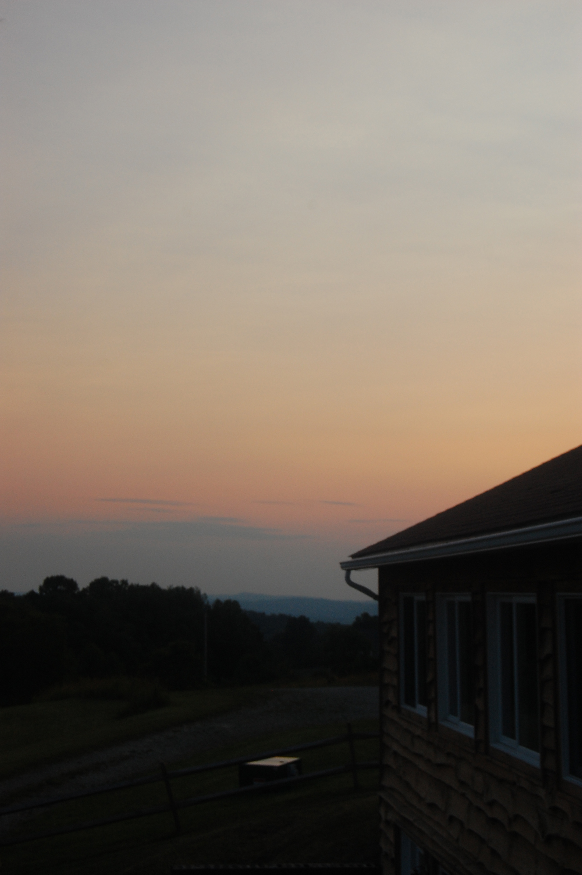
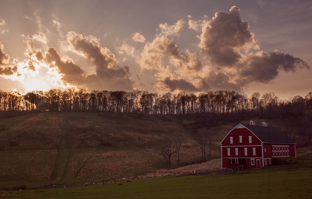
Porch view

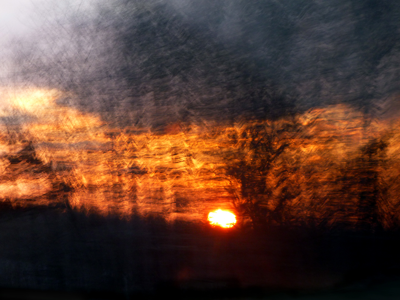
sunset (1)

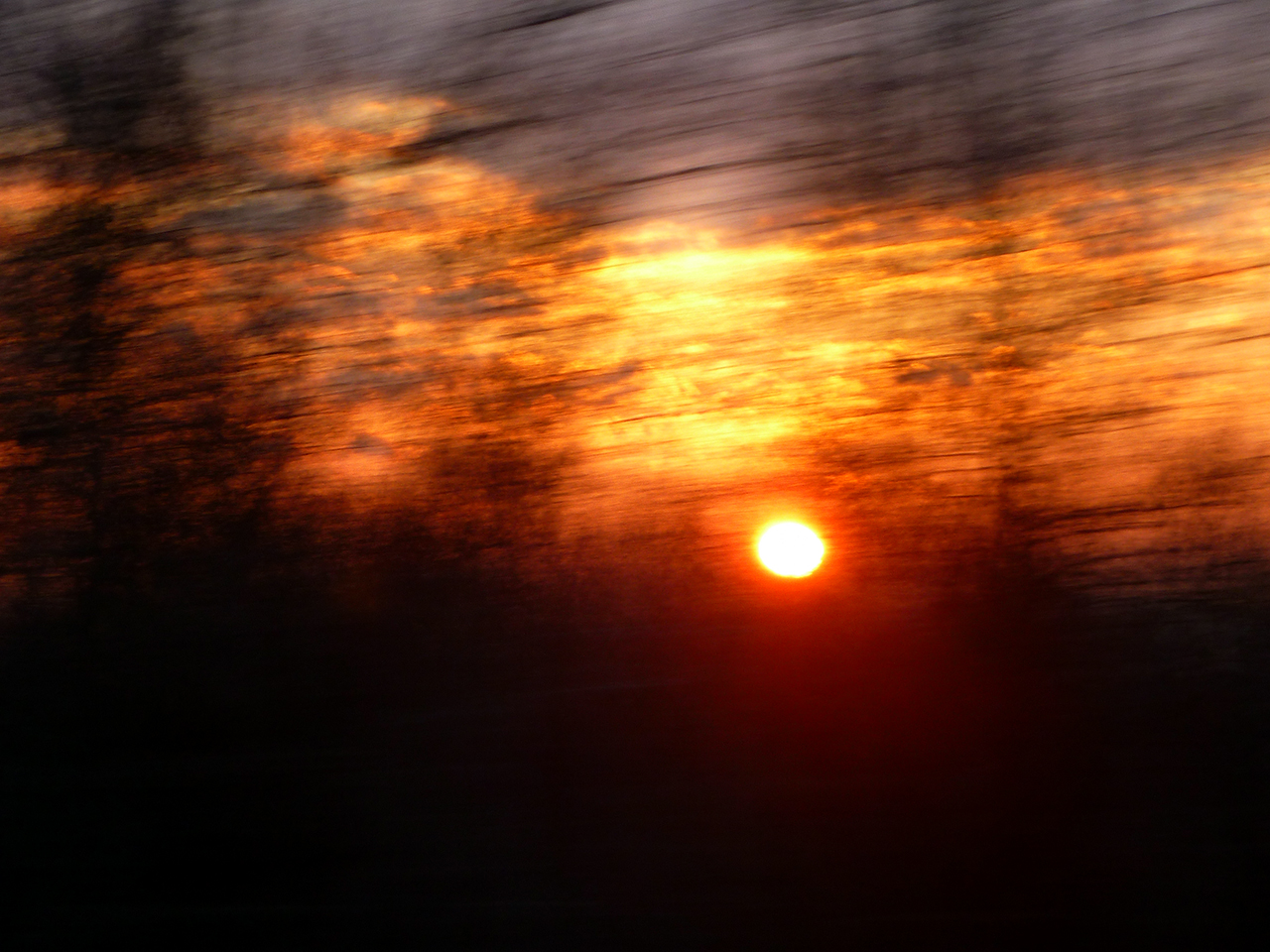
sunset (2)
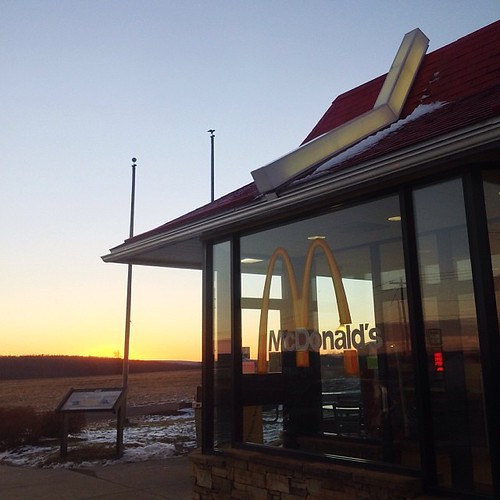
Sunrise over Golden Arches.
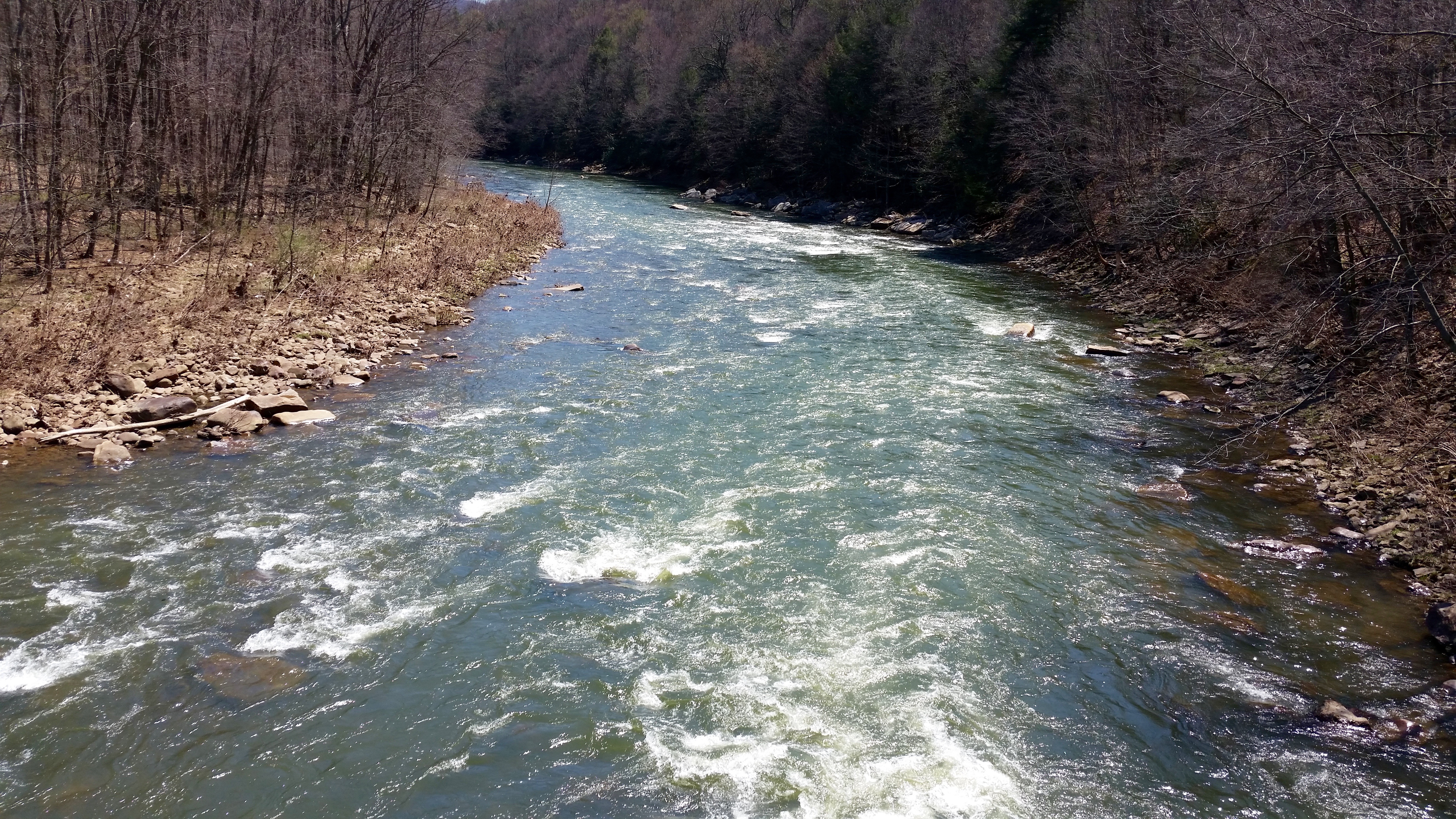
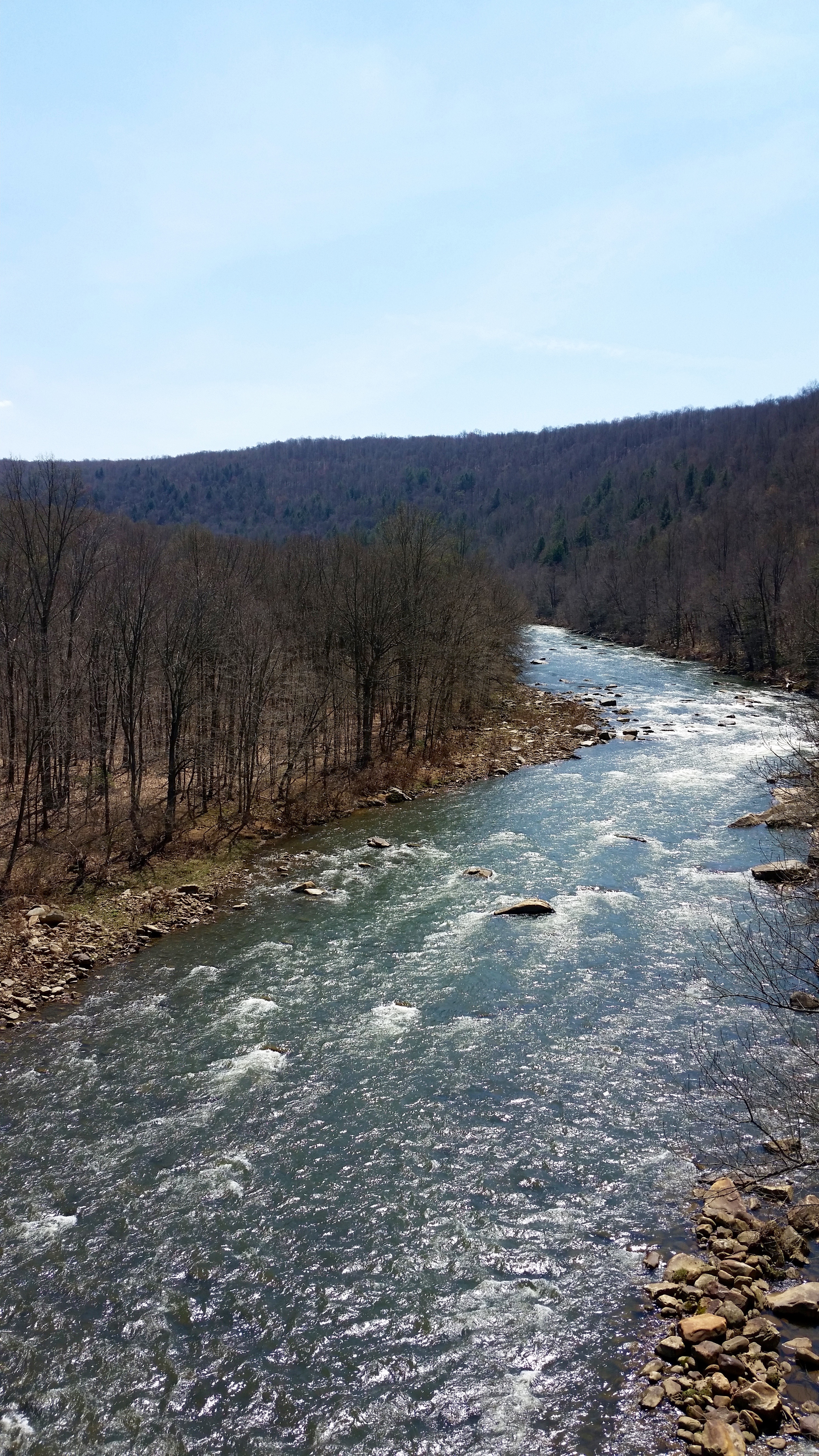
Casselman River
Pinkerton Tunnel Viaduct

View SE from Mt. Davis Fire Tower

Casselman River
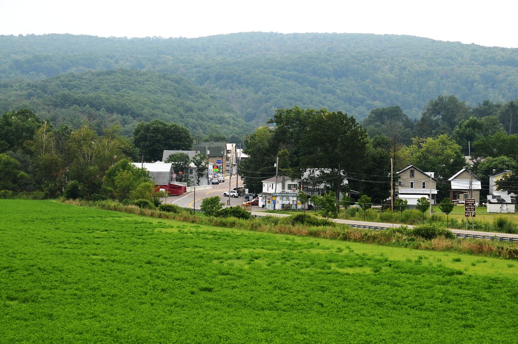
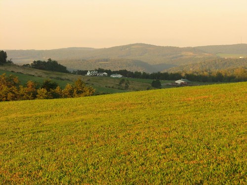
View from just outside of town
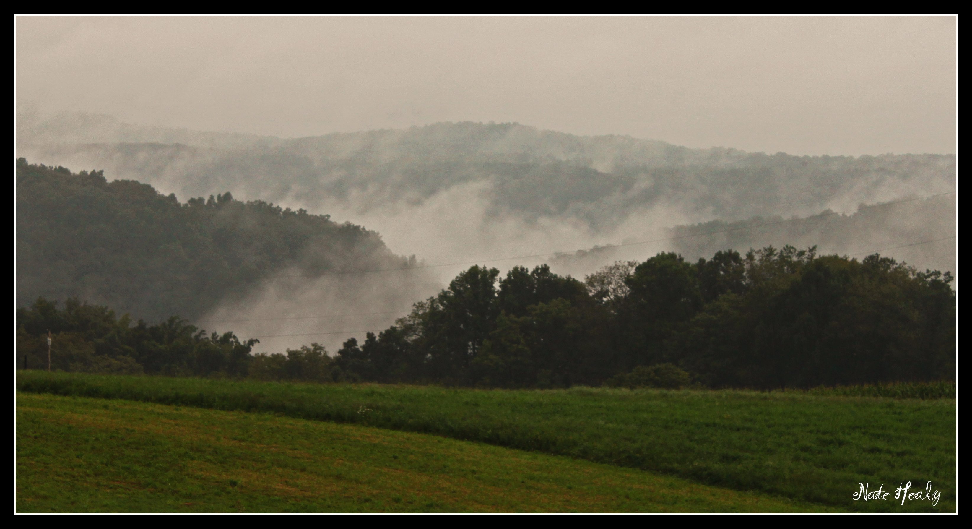
Fog in the Hills

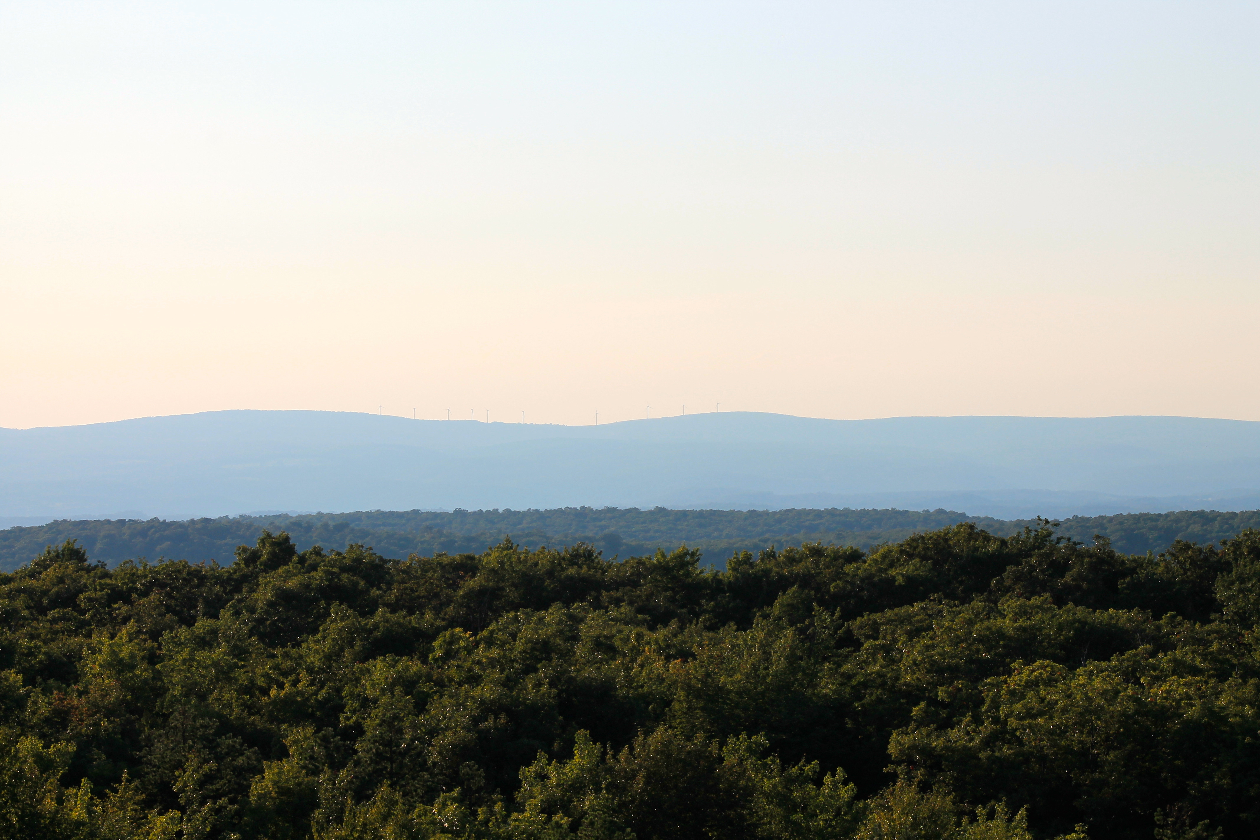
View east from Mt. Davis Fire Tower
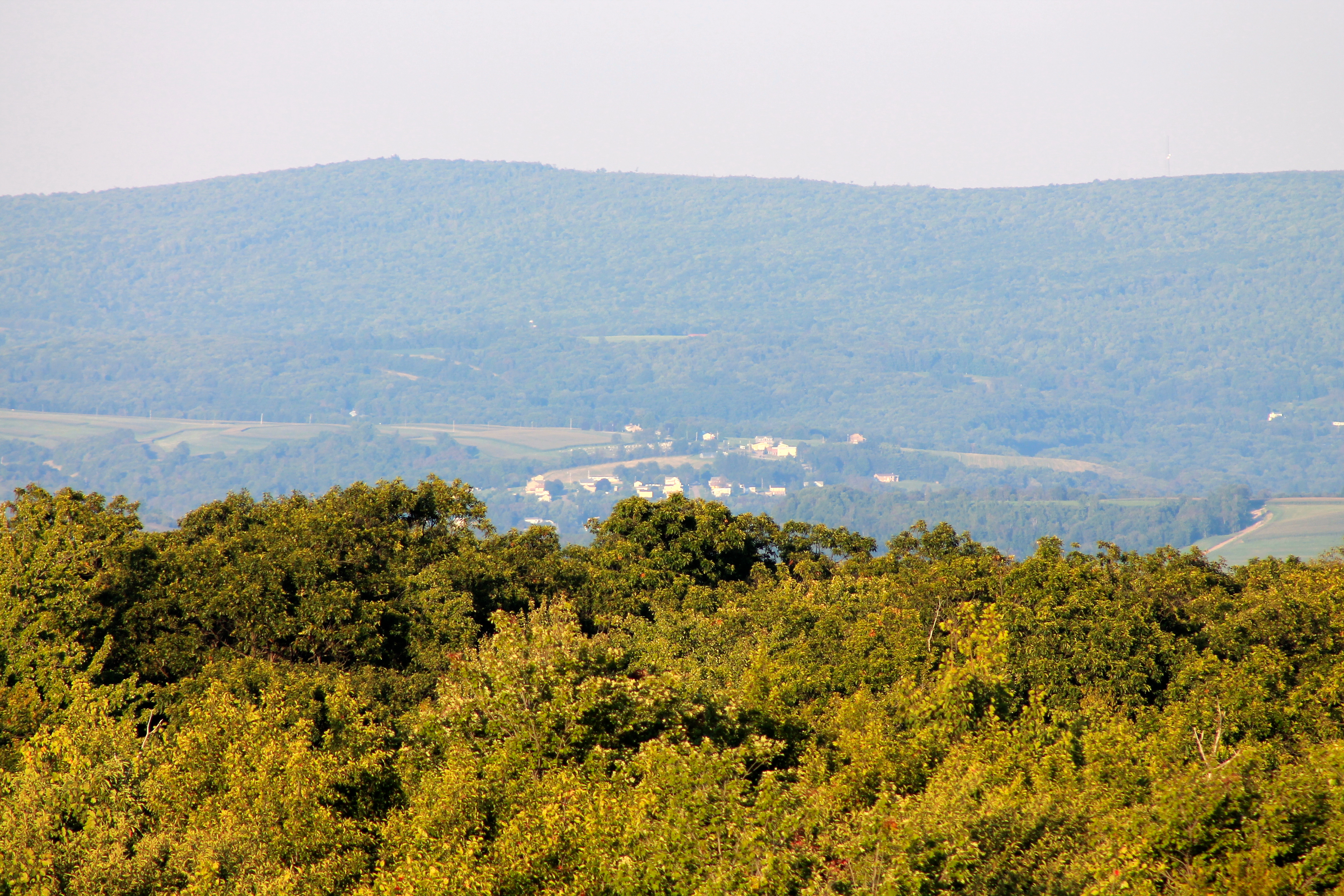
View NE from Mt. Davis Fire Tower
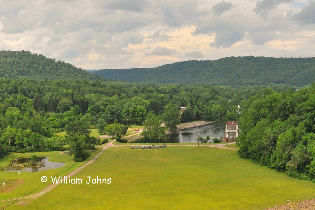
Youghiogheny River Dam

I always, always have to stop at this rest stop on the way back to DC. What a view!
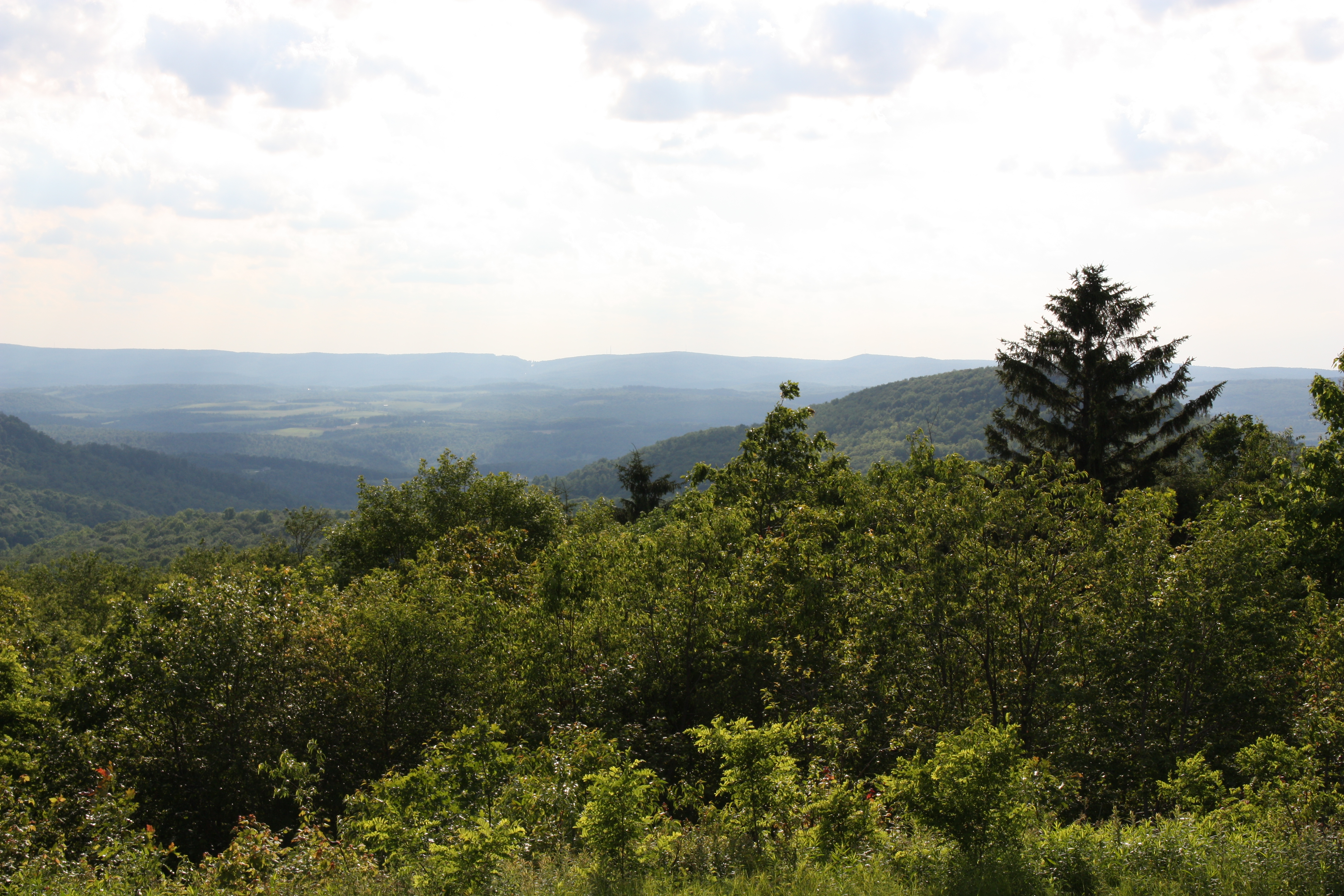
View west toward Laurel Ridge from Mt. Davis Fire Tower
Mountian with a view

view from Pinkerton High Bridge (2)

view from Pinkerton High Bridge (1)
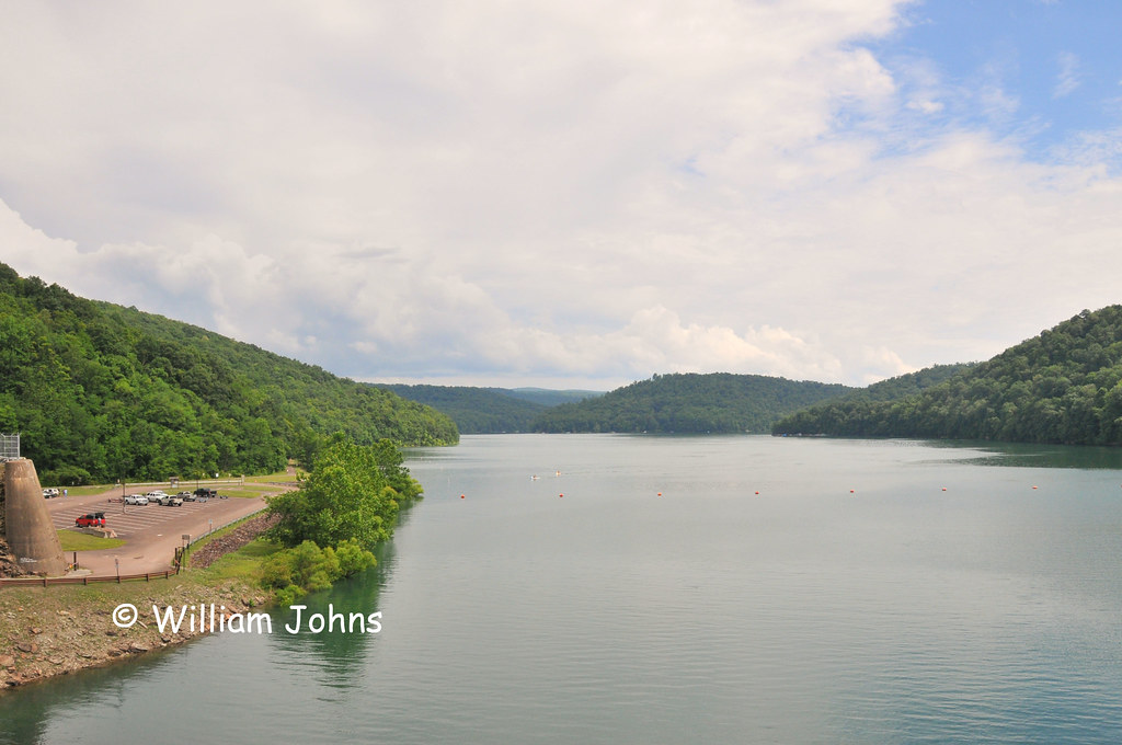
Youghiogheny River Lake
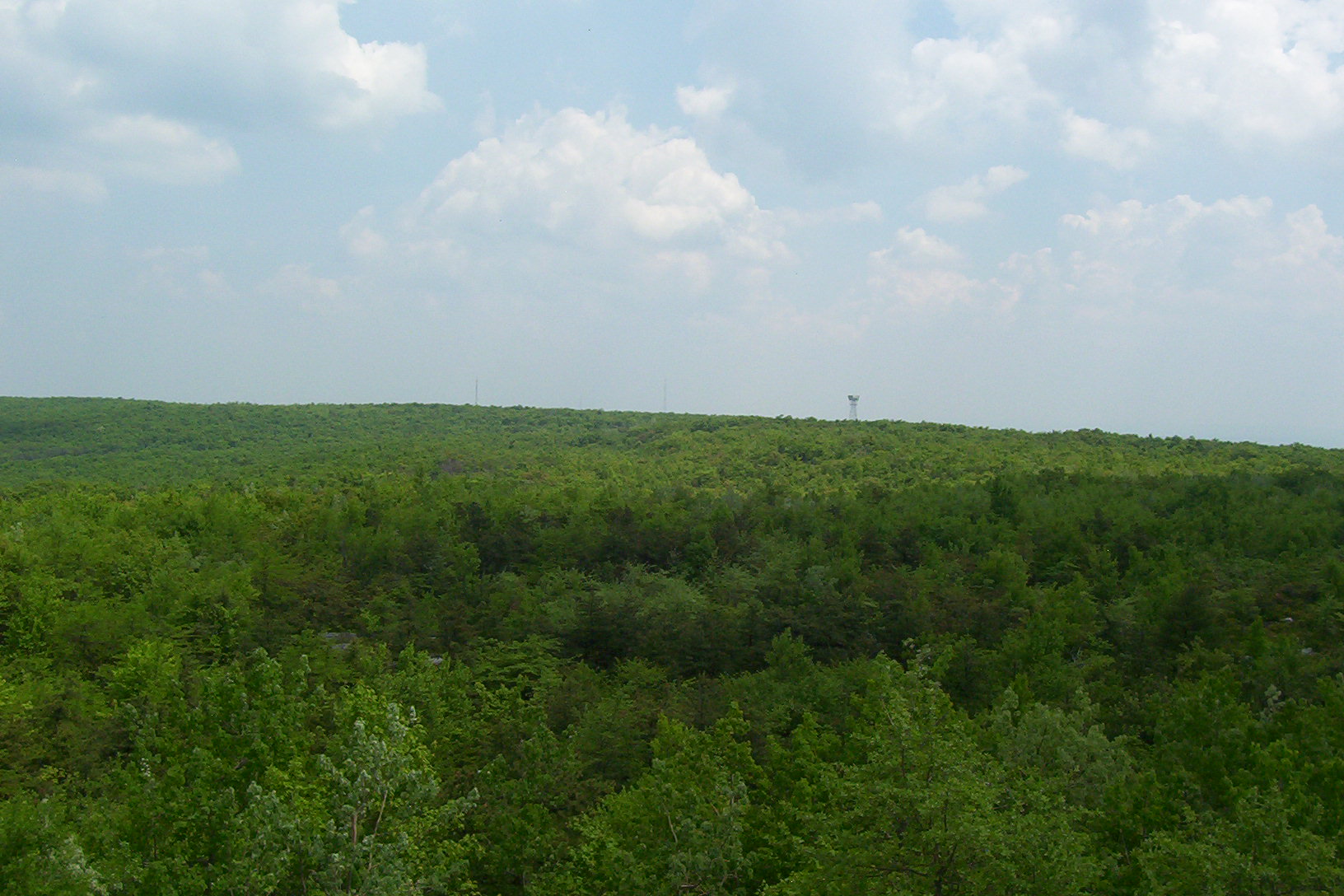
Mt. Davis, view from tower

View from Observation Tower Image 3 3-26-2004 Photo
Listonburg Rd, Confluence, PA アメリカ合衆国の地図
別の場所を検索
近所の場所
Whites Creek Rd, Confluence, PA アメリカ合衆国
Wilkins Hollow Rd, Addison, PA アメリカ合衆国Wilkins Hollow Road
アメリカ合衆国 〒 ペンシルベニア州 アディソン
アメリカ合衆国 ペンシルベニア州 アディソン
アメリカ合衆国 〒 ペンシルベニア州 コンフルエンス
アメリカ合衆国 〒 ペンシルベニア州 アディソン ボードマン・リッジ
Lakeside Rd, Addison, PA アメリカ合衆国レイクサイド・ロード
アメリカ合衆国 ペンシルベニア州 フォート・ヒル
Newberry Rd, Addison, PA アメリカ合衆国
アメリカ合衆国 〒 ペンシルベニア州 アディソン マクリントック・ラン
Draketown Rd, Confluence, PA アメリカ合衆国
Sickle Ridge Rd, Confluence, PA アメリカ合衆国
アメリカ合衆国 ペンシルベニア州 ローワー・ターキーフット
Deer Valley Rd, Elk Lick Township, PA アメリカ合衆国ディアー・バレー・ロード
Fort Hill, PA アメリカ合衆国Mount Davis Observation Tower
アメリカ合衆国 〒 ペンシルベニア州 エルク・リック デイビス山
Walker Rd, Markleysburg, PA アメリカ合衆国
アメリカ合衆国 ペンシルベニア州 ヘンリー・クレイ
Martin Rd, Markleysburg, PA アメリカ合衆国
Martin Rd, Markleysburg, PA アメリカ合衆国
最近の検索
- ニュージーランド 〒 Tasman, ロトロア湖日の出日の入り時間
- Cove Rd, Jasper, GA, USA日の出日の入り時間
- 日本、〒- 静岡県藤枝市潮日の出日の入り時間
- Forest Road, Paragonah, UT アメリカ合衆国South Yankee Meadow Road日の出日の入り時間
- Hickory St, Greenville, NC アメリカ合衆国日の出日の入り時間
- カナダ 〒V0T ブリティッシュコロンビア州 スキーナ・クイーンシャーロット地域 モーズビー島日の出日の入り時間
- Aliağa, Samurlu, Aliağa/İzmir, Türkiye日の出日の入り時間
- Taiwan, 台南市安南區幸福里日の出日の入り時間
- Lane 55, Guo'an St & Guo'an St, Annan District, Tainan City, 台湾 国安街55巷 & 国安街日の出日の入り時間
- 南アフリカ オイテンハーヘ日の出日の入り時間