日本, 〒- 埼玉県羽生市北荻島134日の出日の入り時間
Location: 日本 > 埼玉県 > 羽生市 >
時間帯:
Asia/Tokyo
現地時間:
2024-04-29 19:12:44
経度:
139.5803981
緯度:
36.1682719
今日の日の出時刻:
04:50:31 AM
今日の日の入時刻:
06:27:28 PM
今日の日長:
13h 36m 57s
明日の日の出時刻:
04:49:25 AM
明日の日の入時刻:
06:28:19 PM
明日の日長:
13h 38m 54s
すべて表示する
| 日付 | 日出 | 日没 | 日長 |
|---|---|---|---|
| 2024年01月01日 | 06:52:30 AM | 04:37:15 PM | 9h 44m 45s |
| 2024年01月02日 | 06:52:41 AM | 04:38:01 PM | 9h 45m 20s |
| 2024年01月03日 | 06:52:49 AM | 04:38:49 PM | 9h 46m 0s |
| 2024年01月04日 | 06:52:56 AM | 04:39:37 PM | 9h 46m 41s |
| 2024年01月05日 | 06:53:01 AM | 04:40:27 PM | 9h 47m 26s |
| 2024年01月06日 | 06:53:04 AM | 04:41:17 PM | 9h 48m 13s |
| 2024年01月07日 | 06:53:05 AM | 04:42:09 PM | 9h 49m 4s |
| 2024年01月08日 | 06:53:03 AM | 04:43:02 PM | 9h 49m 59s |
| 2024年01月09日 | 06:53:00 AM | 04:43:56 PM | 9h 50m 56s |
| 2024年01月10日 | 06:52:55 AM | 04:44:51 PM | 9h 51m 56s |
| 2024年01月11日 | 06:52:48 AM | 04:45:46 PM | 9h 52m 58s |
| 2024年01月12日 | 06:52:39 AM | 04:46:43 PM | 9h 54m 4s |
| 2024年01月13日 | 06:52:28 AM | 04:47:40 PM | 9h 55m 12s |
| 2024年01月14日 | 06:52:15 AM | 04:48:38 PM | 9h 56m 23s |
| 2024年01月15日 | 06:52:00 AM | 04:49:37 PM | 9h 57m 37s |
| 2024年01月16日 | 06:51:43 AM | 04:50:36 PM | 9h 58m 53s |
| 2024年01月17日 | 06:51:24 AM | 04:51:36 PM | 10h 0m 12s |
| 2024年01月18日 | 06:51:04 AM | 04:52:36 PM | 10h 1m 32s |
| 2024年01月19日 | 06:50:41 AM | 04:53:37 PM | 10h 2m 56s |
| 2024年01月20日 | 06:50:16 AM | 04:54:38 PM | 10h 4m 22s |
| 2024年01月21日 | 06:49:50 AM | 04:55:40 PM | 10h 5m 50s |
| 2024年01月22日 | 06:49:22 AM | 04:56:42 PM | 10h 7m 20s |
| 2024年01月23日 | 06:48:51 AM | 04:57:45 PM | 10h 8m 54s |
| 2024年01月24日 | 06:48:19 AM | 04:58:47 PM | 10h 10m 28s |
| 2024年01月25日 | 06:47:46 AM | 04:59:50 PM | 10h 12m 4s |
| 2024年01月26日 | 06:47:10 AM | 05:00:53 PM | 10h 13m 43s |
| 2024年01月27日 | 06:46:33 AM | 05:01:57 PM | 10h 15m 24s |
| 2024年01月28日 | 06:45:54 AM | 05:03:00 PM | 10h 17m 6s |
| 2024年01月29日 | 06:45:13 AM | 05:04:03 PM | 10h 18m 50s |
| 2024年01月30日 | 06:44:30 AM | 05:05:07 PM | 10h 20m 37s |
| 2024年01月31日 | 06:43:46 AM | 05:06:11 PM | 10h 22m 25s |
| 2024年02月01日 | 06:43:01 AM | 05:07:14 PM | 10h 24m 13s |
| 2024年02月02日 | 06:42:13 AM | 05:08:18 PM | 10h 26m 5s |
| 2024年02月03日 | 06:41:24 AM | 05:09:21 PM | 10h 27m 57s |
| 2024年02月04日 | 06:40:34 AM | 05:10:24 PM | 10h 29m 50s |
| 2024年02月05日 | 06:39:42 AM | 05:11:28 PM | 10h 31m 46s |
| 2024年02月06日 | 06:38:49 AM | 05:12:31 PM | 10h 33m 42s |
| 2024年02月07日 | 06:37:54 AM | 05:13:34 PM | 10h 35m 40s |
| 2024年02月08日 | 06:36:58 AM | 05:14:36 PM | 10h 37m 38s |
| 2024年02月09日 | 06:36:00 AM | 05:15:39 PM | 10h 39m 39s |
| 2024年02月10日 | 06:35:01 AM | 05:16:41 PM | 10h 41m 40s |
| 2024年02月11日 | 06:34:00 AM | 05:17:43 PM | 10h 43m 43s |
| 2024年02月12日 | 06:32:59 AM | 05:18:45 PM | 10h 45m 46s |
| 2024年02月13日 | 06:31:56 AM | 05:19:47 PM | 10h 47m 51s |
| 2024年02月14日 | 06:30:52 AM | 05:20:48 PM | 10h 49m 56s |
| 2024年02月15日 | 06:29:46 AM | 05:21:49 PM | 10h 52m 3s |
| 2024年02月16日 | 06:28:40 AM | 05:22:50 PM | 10h 54m 10s |
| 2024年02月17日 | 06:27:32 AM | 05:23:51 PM | 10h 56m 19s |
| 2024年02月18日 | 06:26:24 AM | 05:24:51 PM | 10h 58m 27s |
| 2024年02月19日 | 06:25:14 AM | 05:25:51 PM | 11h 0m 37s |
| 2024年02月20日 | 06:24:03 AM | 05:26:50 PM | 11h 2m 47s |
| 2024年02月21日 | 06:22:51 AM | 05:27:49 PM | 11h 4m 58s |
| 2024年02月22日 | 06:21:38 AM | 05:28:48 PM | 11h 7m 10s |
| 2024年02月23日 | 06:20:25 AM | 05:29:47 PM | 11h 9m 22s |
| 2024年02月24日 | 06:19:10 AM | 05:30:45 PM | 11h 11m 35s |
| 2024年02月25日 | 06:17:54 AM | 05:31:43 PM | 11h 13m 49s |
| 2024年02月26日 | 06:16:38 AM | 05:32:40 PM | 11h 16m 2s |
| 2024年02月27日 | 06:15:21 AM | 05:33:38 PM | 11h 18m 17s |
| 2024年02月28日 | 06:14:03 AM | 05:34:34 PM | 11h 20m 31s |
| 2024年02月29日 | 06:12:44 AM | 05:35:31 PM | 11h 22m 47s |
| 2024年03月01日 | 06:11:25 AM | 05:36:27 PM | 11h 25m 2s |
| 2024年03月02日 | 06:10:05 AM | 05:37:23 PM | 11h 27m 18s |
| 2024年03月03日 | 06:08:44 AM | 05:38:19 PM | 11h 29m 35s |
| 2024年03月04日 | 06:07:23 AM | 05:39:14 PM | 11h 31m 51s |
| 2024年03月05日 | 06:06:01 AM | 05:40:09 PM | 11h 34m 8s |
| 2024年03月06日 | 06:04:38 AM | 05:41:04 PM | 11h 36m 26s |
| 2024年03月07日 | 06:03:15 AM | 05:41:58 PM | 11h 38m 43s |
| 2024年03月08日 | 06:01:52 AM | 05:42:53 PM | 11h 41m 1s |
| 2024年03月09日 | 06:00:28 AM | 05:43:46 PM | 11h 43m 18s |
| 2024年03月10日 | 05:59:04 AM | 05:44:40 PM | 11h 45m 36s |
| 2024年03月11日 | 05:57:39 AM | 05:45:34 PM | 11h 47m 55s |
| 2024年03月12日 | 05:56:14 AM | 05:46:27 PM | 11h 50m 13s |
| 2024年03月13日 | 05:54:48 AM | 05:47:20 PM | 11h 52m 32s |
| 2024年03月14日 | 05:53:22 AM | 05:48:12 PM | 11h 54m 50s |
| 2024年03月15日 | 05:51:56 AM | 05:49:05 PM | 11h 57m 9s |
| 2024年03月16日 | 05:50:30 AM | 05:49:57 PM | 11h 59m 27s |
| 2024年03月17日 | 05:49:03 AM | 05:50:49 PM | 12h 1m 46s |
| 2024年03月18日 | 05:47:37 AM | 05:51:41 PM | 12h 4m 4s |
| 2024年03月19日 | 05:46:10 AM | 05:52:33 PM | 12h 6m 23s |
| 2024年03月20日 | 05:44:43 AM | 05:53:25 PM | 12h 8m 42s |
| 2024年03月21日 | 05:43:16 AM | 05:54:16 PM | 12h 11m 0s |
| 2024年03月22日 | 05:41:48 AM | 05:55:08 PM | 12h 13m 20s |
| 2024年03月23日 | 05:40:21 AM | 05:55:59 PM | 12h 15m 38s |
| 2024年03月24日 | 05:38:54 AM | 05:56:50 PM | 12h 17m 56s |
| 2024年03月25日 | 05:37:27 AM | 05:57:41 PM | 12h 20m 14s |
| 2024年03月26日 | 05:35:59 AM | 05:58:32 PM | 12h 22m 33s |
| 2024年03月27日 | 05:34:32 AM | 05:59:23 PM | 12h 24m 51s |
| 2024年03月28日 | 05:33:05 AM | 06:00:14 PM | 12h 27m 9s |
| 2024年03月29日 | 05:31:38 AM | 06:01:04 PM | 12h 29m 26s |
| 2024年03月30日 | 05:30:12 AM | 06:01:55 PM | 12h 31m 43s |
| 2024年03月31日 | 05:28:45 AM | 06:02:46 PM | 12h 34m 1s |
| 2024年04月01日 | 05:27:19 AM | 06:03:36 PM | 12h 36m 17s |
| 2024年04月02日 | 05:25:53 AM | 06:04:27 PM | 12h 38m 34s |
| 2024年04月03日 | 05:24:27 AM | 06:05:18 PM | 12h 40m 51s |
| 2024年04月04日 | 05:23:02 AM | 06:06:08 PM | 12h 43m 6s |
| 2024年04月05日 | 05:21:37 AM | 06:06:59 PM | 12h 45m 22s |
| 2024年04月06日 | 05:20:12 AM | 06:07:50 PM | 12h 47m 38s |
| 2024年04月07日 | 05:18:48 AM | 06:08:40 PM | 12h 49m 52s |
| 2024年04月08日 | 05:17:24 AM | 06:09:31 PM | 12h 52m 7s |
| 2024年04月09日 | 05:16:01 AM | 06:10:22 PM | 12h 54m 21s |
| 2024年04月10日 | 05:14:38 AM | 06:11:12 PM | 12h 56m 34s |
| 2024年04月11日 | 05:13:15 AM | 06:12:03 PM | 12h 58m 48s |
| 2024年04月12日 | 05:11:53 AM | 06:12:54 PM | 13h 1m 1s |
| 2024年04月13日 | 05:10:32 AM | 06:13:45 PM | 13h 3m 13s |
| 2024年04月14日 | 05:09:11 AM | 06:14:36 PM | 13h 5m 25s |
| 2024年04月15日 | 05:07:51 AM | 06:15:27 PM | 13h 7m 36s |
| 2024年04月16日 | 05:06:32 AM | 06:16:18 PM | 13h 9m 46s |
| 2024年04月17日 | 05:05:13 AM | 06:17:09 PM | 13h 11m 56s |
| 2024年04月18日 | 05:03:55 AM | 06:18:00 PM | 13h 14m 5s |
| 2024年04月19日 | 05:02:38 AM | 06:18:51 PM | 13h 16m 13s |
| 2024年04月20日 | 05:01:22 AM | 06:19:43 PM | 13h 18m 21s |
| 2024年04月21日 | 05:00:06 AM | 06:20:34 PM | 13h 20m 28s |
| 2024年04月22日 | 04:58:52 AM | 06:21:25 PM | 13h 22m 33s |
| 2024年04月23日 | 04:57:38 AM | 06:22:17 PM | 13h 24m 39s |
| 2024年04月24日 | 04:56:25 AM | 06:23:08 PM | 13h 26m 43s |
| 2024年04月25日 | 04:55:13 AM | 06:23:59 PM | 13h 28m 46s |
| 2024年04月26日 | 04:54:02 AM | 06:24:51 PM | 13h 30m 49s |
| 2024年04月27日 | 04:52:51 AM | 06:25:42 PM | 13h 32m 51s |
| 2024年04月28日 | 04:51:42 AM | 06:26:34 PM | 13h 34m 52s |
| 2024年04月29日 | 04:50:34 AM | 06:27:25 PM | 13h 36m 51s |
| 2024年04月30日 | 04:49:27 AM | 06:28:17 PM | 13h 38m 50s |
| 2024年05月01日 | 04:48:21 AM | 06:29:08 PM | 13h 40m 47s |
| 2024年05月02日 | 04:47:17 AM | 06:30:00 PM | 13h 42m 43s |
| 2024年05月03日 | 04:46:13 AM | 06:30:51 PM | 13h 44m 38s |
| 2024年05月04日 | 04:45:11 AM | 06:31:42 PM | 13h 46m 31s |
| 2024年05月05日 | 04:44:09 AM | 06:32:33 PM | 13h 48m 24s |
| 2024年05月06日 | 04:43:09 AM | 06:33:24 PM | 13h 50m 15s |
| 2024年05月07日 | 04:42:11 AM | 06:34:15 PM | 13h 52m 4s |
| 2024年05月08日 | 04:41:13 AM | 06:35:06 PM | 13h 53m 53s |
| 2024年05月09日 | 04:40:17 AM | 06:35:57 PM | 13h 55m 40s |
| 2024年05月10日 | 04:39:22 AM | 06:36:47 PM | 13h 57m 25s |
| 2024年05月11日 | 04:38:29 AM | 06:37:37 PM | 13h 59m 8s |
| 2024年05月12日 | 04:37:37 AM | 06:38:27 PM | 14h 0m 50s |
| 2024年05月13日 | 04:36:46 AM | 06:39:17 PM | 14h 2m 31s |
| 2024年05月14日 | 04:35:57 AM | 06:40:06 PM | 14h 4m 9s |
| 2024年05月15日 | 04:35:10 AM | 06:40:55 PM | 14h 5m 45s |
| 2024年05月16日 | 04:34:23 AM | 06:41:44 PM | 14h 7m 21s |
| 2024年05月17日 | 04:33:39 AM | 06:42:32 PM | 14h 8m 53s |
| 2024年05月18日 | 04:32:55 AM | 06:43:20 PM | 14h 10m 25s |
| 2024年05月19日 | 04:32:14 AM | 06:44:07 PM | 14h 11m 53s |
| 2024年05月20日 | 04:31:34 AM | 06:44:54 PM | 14h 13m 20s |
| 2024年05月21日 | 04:30:55 AM | 06:45:41 PM | 14h 14m 46s |
| 2024年05月22日 | 04:30:18 AM | 06:46:27 PM | 14h 16m 9s |
| 2024年05月23日 | 04:29:43 AM | 06:47:12 PM | 14h 17m 29s |
| 2024年05月24日 | 04:29:09 AM | 06:47:57 PM | 14h 18m 48s |
| 2024年05月25日 | 04:28:37 AM | 06:48:41 PM | 14h 20m 4s |
| 2024年05月26日 | 04:28:07 AM | 06:49:24 PM | 14h 21m 17s |
| 2024年05月27日 | 04:27:38 AM | 06:50:07 PM | 14h 22m 29s |
| 2024年05月28日 | 04:27:11 AM | 06:50:49 PM | 14h 23m 38s |
| 2024年05月29日 | 04:26:45 AM | 06:51:30 PM | 14h 24m 45s |
| 2024年05月30日 | 04:26:22 AM | 06:52:11 PM | 14h 25m 49s |
| 2024年05月31日 | 04:26:00 AM | 06:52:50 PM | 14h 26m 50s |
| 2024年06月01日 | 04:25:39 AM | 06:53:29 PM | 14h 27m 50s |
| 2024年06月02日 | 04:25:21 AM | 06:54:06 PM | 14h 28m 45s |
| 2024年06月03日 | 04:25:04 AM | 06:54:43 PM | 14h 29m 39s |
| 2024年06月04日 | 04:24:49 AM | 06:55:19 PM | 14h 30m 30s |
| 2024年06月05日 | 04:24:35 AM | 06:55:53 PM | 14h 31m 18s |
| 2024年06月06日 | 04:24:24 AM | 06:56:27 PM | 14h 32m 3s |
| 2024年06月07日 | 04:24:14 AM | 06:56:59 PM | 14h 32m 45s |
| 2024年06月08日 | 04:24:05 AM | 06:57:31 PM | 14h 33m 26s |
| 2024年06月09日 | 04:23:59 AM | 06:58:01 PM | 14h 34m 2s |
| 2024年06月10日 | 04:23:54 AM | 06:58:29 PM | 14h 34m 35s |
| 2024年06月11日 | 04:23:51 AM | 06:58:57 PM | 14h 35m 6s |
| 2024年06月12日 | 04:23:49 AM | 06:59:23 PM | 14h 35m 34s |
| 2024年06月13日 | 04:23:49 AM | 06:59:48 PM | 14h 35m 59s |
| 2024年06月14日 | 04:23:51 AM | 07:00:12 PM | 14h 36m 21s |
| 2024年06月15日 | 04:23:55 AM | 07:00:34 PM | 14h 36m 39s |
| 2024年06月16日 | 04:24:00 AM | 07:00:55 PM | 14h 36m 55s |
| 2024年06月17日 | 04:24:06 AM | 07:01:14 PM | 14h 37m 8s |
| 2024年06月18日 | 04:24:15 AM | 07:01:32 PM | 14h 37m 17s |
| 2024年06月19日 | 04:24:24 AM | 07:01:48 PM | 14h 37m 24s |
| 2024年06月20日 | 04:24:36 AM | 07:02:03 PM | 14h 37m 27s |
| 2024年06月21日 | 04:24:49 AM | 07:02:16 PM | 14h 37m 27s |
| 2024年06月22日 | 04:25:03 AM | 07:02:28 PM | 14h 37m 25s |
| 2024年06月23日 | 04:25:19 AM | 07:02:38 PM | 14h 37m 19s |
| 2024年06月24日 | 04:25:36 AM | 07:02:47 PM | 14h 37m 11s |
| 2024年06月25日 | 04:25:55 AM | 07:02:53 PM | 14h 36m 58s |
| 2024年06月26日 | 04:26:15 AM | 07:02:59 PM | 14h 36m 44s |
| 2024年06月27日 | 04:26:36 AM | 07:03:02 PM | 14h 36m 26s |
| 2024年06月28日 | 04:26:59 AM | 07:03:04 PM | 14h 36m 5s |
| 2024年06月29日 | 04:27:23 AM | 07:03:04 PM | 14h 35m 41s |
| 2024年06月30日 | 04:27:49 AM | 07:03:02 PM | 14h 35m 13s |
| 2024年07月01日 | 04:28:15 AM | 07:02:59 PM | 14h 34m 44s |
| 2024年07月02日 | 04:28:43 AM | 07:02:54 PM | 14h 34m 11s |
| 2024年07月03日 | 04:29:12 AM | 07:02:47 PM | 14h 33m 35s |
| 2024年07月04日 | 04:29:42 AM | 07:02:38 PM | 14h 32m 56s |
| 2024年07月05日 | 04:30:13 AM | 07:02:28 PM | 14h 32m 15s |
| 2024年07月06日 | 04:30:45 AM | 07:02:16 PM | 14h 31m 31s |
| 2024年07月07日 | 04:31:19 AM | 07:02:02 PM | 14h 30m 43s |
| 2024年07月08日 | 04:31:53 AM | 07:01:46 PM | 14h 29m 53s |
| 2024年07月09日 | 04:32:28 AM | 07:01:29 PM | 14h 29m 1s |
| 2024年07月10日 | 04:33:04 AM | 07:01:10 PM | 14h 28m 6s |
| 2024年07月11日 | 04:33:41 AM | 07:00:49 PM | 14h 27m 8s |
| 2024年07月12日 | 04:34:19 AM | 07:00:26 PM | 14h 26m 7s |
| 2024年07月13日 | 04:34:57 AM | 07:00:02 PM | 14h 25m 5s |
| 2024年07月14日 | 04:35:37 AM | 06:59:36 PM | 14h 23m 59s |
| 2024年07月15日 | 04:36:17 AM | 06:59:08 PM | 14h 22m 51s |
| 2024年07月16日 | 04:36:58 AM | 06:58:39 PM | 14h 21m 41s |
| 2024年07月17日 | 04:37:39 AM | 06:58:07 PM | 14h 20m 28s |
| 2024年07月18日 | 04:38:21 AM | 06:57:34 PM | 14h 19m 13s |
| 2024年07月19日 | 04:39:03 AM | 06:57:00 PM | 14h 17m 57s |
| 2024年07月20日 | 04:39:47 AM | 06:56:24 PM | 14h 16m 37s |
| 2024年07月21日 | 04:40:30 AM | 06:55:46 PM | 14h 15m 16s |
| 2024年07月22日 | 04:41:14 AM | 06:55:06 PM | 14h 13m 52s |
| 2024年07月23日 | 04:41:59 AM | 06:54:25 PM | 14h 12m 26s |
| 2024年07月24日 | 04:42:44 AM | 06:53:43 PM | 14h 10m 59s |
| 2024年07月25日 | 04:43:29 AM | 06:52:58 PM | 14h 9m 29s |
| 2024年07月26日 | 04:44:15 AM | 06:52:13 PM | 14h 7m 58s |
| 2024年07月27日 | 04:45:01 AM | 06:51:25 PM | 14h 6m 24s |
| 2024年07月28日 | 04:45:47 AM | 06:50:36 PM | 14h 4m 49s |
| 2024年07月29日 | 04:46:34 AM | 06:49:46 PM | 14h 3m 12s |
| 2024年07月30日 | 04:47:21 AM | 06:48:54 PM | 14h 1m 33s |
| 2024年07月31日 | 04:48:08 AM | 06:48:01 PM | 13h 59m 53s |
| 2024年08月01日 | 04:48:55 AM | 06:47:07 PM | 13h 58m 12s |
| 2024年08月02日 | 04:49:42 AM | 06:46:11 PM | 13h 56m 29s |
| 2024年08月03日 | 04:50:30 AM | 06:45:13 PM | 13h 54m 43s |
| 2024年08月04日 | 04:51:18 AM | 06:44:15 PM | 13h 52m 57s |
| 2024年08月05日 | 04:52:06 AM | 06:43:15 PM | 13h 51m 9s |
| 2024年08月06日 | 04:52:53 AM | 06:42:14 PM | 13h 49m 21s |
| 2024年08月07日 | 04:53:41 AM | 06:41:11 PM | 13h 47m 30s |
| 2024年08月08日 | 04:54:29 AM | 06:40:07 PM | 13h 45m 38s |
| 2024年08月09日 | 04:55:17 AM | 06:39:02 PM | 13h 43m 45s |
| 2024年08月10日 | 04:56:05 AM | 06:37:56 PM | 13h 41m 51s |
| 2024年08月11日 | 04:56:53 AM | 06:36:49 PM | 13h 39m 56s |
| 2024年08月12日 | 04:57:42 AM | 06:35:41 PM | 13h 37m 59s |
| 2024年08月13日 | 04:58:30 AM | 06:34:31 PM | 13h 36m 1s |
| 2024年08月14日 | 04:59:18 AM | 06:33:21 PM | 13h 34m 3s |
| 2024年08月15日 | 05:00:06 AM | 06:32:09 PM | 13h 32m 3s |
| 2024年08月16日 | 05:00:53 AM | 06:30:57 PM | 13h 30m 4s |
| 2024年08月17日 | 05:01:41 AM | 06:29:43 PM | 13h 28m 2s |
| 2024年08月18日 | 05:02:29 AM | 06:28:29 PM | 13h 26m 0s |
| 2024年08月19日 | 05:03:17 AM | 06:27:13 PM | 13h 23m 56s |
| 2024年08月20日 | 05:04:04 AM | 06:25:57 PM | 13h 21m 53s |
| 2024年08月21日 | 05:04:52 AM | 06:24:40 PM | 13h 19m 48s |
| 2024年08月22日 | 05:05:39 AM | 06:23:22 PM | 13h 17m 43s |
| 2024年08月23日 | 05:06:27 AM | 06:22:03 PM | 13h 15m 36s |
| 2024年08月24日 | 05:07:14 AM | 06:20:43 PM | 13h 13m 29s |
| 2024年08月25日 | 05:08:01 AM | 06:19:23 PM | 13h 11m 22s |
| 2024年08月26日 | 05:08:48 AM | 06:18:02 PM | 13h 9m 14s |
| 2024年08月27日 | 05:09:36 AM | 06:16:40 PM | 13h 7m 4s |
| 2024年08月28日 | 05:10:22 AM | 06:15:18 PM | 13h 4m 56s |
| 2024年08月29日 | 05:11:09 AM | 06:13:55 PM | 13h 2m 46s |
| 2024年08月30日 | 05:11:56 AM | 06:12:32 PM | 13h 0m 36s |
| 2024年08月31日 | 05:12:43 AM | 06:11:07 PM | 12h 58m 24s |
| 2024年09月01日 | 05:13:30 AM | 06:09:43 PM | 12h 56m 13s |
| 2024年09月02日 | 05:14:16 AM | 06:08:17 PM | 12h 54m 1s |
| 2024年09月03日 | 05:15:03 AM | 06:06:52 PM | 12h 51m 49s |
| 2024年09月04日 | 05:15:49 AM | 06:05:26 PM | 12h 49m 37s |
| 2024年09月05日 | 05:16:36 AM | 06:03:59 PM | 12h 47m 23s |
| 2024年09月06日 | 05:17:22 AM | 06:02:32 PM | 12h 45m 10s |
| 2024年09月07日 | 05:18:08 AM | 06:01:05 PM | 12h 42m 57s |
| 2024年09月08日 | 05:18:55 AM | 05:59:37 PM | 12h 40m 42s |
| 2024年09月09日 | 05:19:41 AM | 05:58:09 PM | 12h 38m 28s |
| 2024年09月10日 | 05:20:27 AM | 05:56:41 PM | 12h 36m 14s |
| 2024年09月11日 | 05:21:14 AM | 05:55:12 PM | 12h 33m 58s |
| 2024年09月12日 | 05:22:00 AM | 05:53:43 PM | 12h 31m 43s |
| 2024年09月13日 | 05:22:46 AM | 05:52:15 PM | 12h 29m 29s |
| 2024年09月14日 | 05:23:33 AM | 05:50:45 PM | 12h 27m 12s |
| 2024年09月15日 | 05:24:19 AM | 05:49:16 PM | 12h 24m 57s |
| 2024年09月16日 | 05:25:06 AM | 05:47:47 PM | 12h 22m 41s |
| 2024年09月17日 | 05:25:52 AM | 05:46:17 PM | 12h 20m 25s |
| 2024年09月18日 | 05:26:39 AM | 05:44:48 PM | 12h 18m 9s |
| 2024年09月19日 | 05:27:26 AM | 05:43:18 PM | 12h 15m 52s |
| 2024年09月20日 | 05:28:12 AM | 05:41:49 PM | 12h 13m 37s |
| 2024年09月21日 | 05:28:59 AM | 05:40:19 PM | 12h 11m 20s |
| 2024年09月22日 | 05:29:46 AM | 05:38:50 PM | 12h 9m 4s |
| 2024年09月23日 | 05:30:34 AM | 05:37:20 PM | 12h 6m 46s |
| 2024年09月24日 | 05:31:21 AM | 05:35:51 PM | 12h 4m 30s |
| 2024年09月25日 | 05:32:08 AM | 05:34:22 PM | 12h 2m 14s |
| 2024年09月26日 | 05:32:56 AM | 05:32:53 PM | 11h 59m 57s |
| 2024年09月27日 | 05:33:44 AM | 05:31:25 PM | 11h 57m 41s |
| 2024年09月28日 | 05:34:32 AM | 05:29:56 PM | 11h 55m 24s |
| 2024年09月29日 | 05:35:20 AM | 05:28:28 PM | 11h 53m 8s |
| 2024年09月30日 | 05:36:09 AM | 05:27:00 PM | 11h 50m 51s |
| 2024年10月01日 | 05:36:57 AM | 05:25:33 PM | 11h 48m 36s |
| 2024年10月02日 | 05:37:46 AM | 05:24:05 PM | 11h 46m 19s |
| 2024年10月03日 | 05:38:36 AM | 05:22:39 PM | 11h 44m 3s |
| 2024年10月04日 | 05:39:25 AM | 05:21:12 PM | 11h 41m 47s |
| 2024年10月05日 | 05:40:15 AM | 05:19:46 PM | 11h 39m 31s |
| 2024年10月06日 | 05:41:05 AM | 05:18:21 PM | 11h 37m 16s |
| 2024年10月07日 | 05:41:55 AM | 05:16:56 PM | 11h 35m 1s |
| 2024年10月08日 | 05:42:46 AM | 05:15:31 PM | 11h 32m 45s |
| 2024年10月09日 | 05:43:37 AM | 05:14:07 PM | 11h 30m 30s |
| 2024年10月10日 | 05:44:28 AM | 05:12:44 PM | 11h 28m 16s |
| 2024年10月11日 | 05:45:19 AM | 05:11:22 PM | 11h 26m 3s |
| 2024年10月12日 | 05:46:11 AM | 05:10:00 PM | 11h 23m 49s |
| 2024年10月13日 | 05:47:04 AM | 05:08:38 PM | 11h 21m 34s |
| 2024年10月14日 | 05:47:56 AM | 05:07:18 PM | 11h 19m 22s |
| 2024年10月15日 | 05:48:49 AM | 05:05:58 PM | 11h 17m 9s |
| 2024年10月16日 | 05:49:42 AM | 05:04:39 PM | 11h 14m 57s |
| 2024年10月17日 | 05:50:36 AM | 05:03:21 PM | 11h 12m 45s |
| 2024年10月18日 | 05:51:30 AM | 05:02:03 PM | 11h 10m 33s |
| 2024年10月19日 | 05:52:24 AM | 05:00:47 PM | 11h 8m 23s |
| 2024年10月20日 | 05:53:19 AM | 04:59:31 PM | 11h 6m 12s |
| 2024年10月21日 | 05:54:14 AM | 04:58:17 PM | 11h 4m 3s |
| 2024年10月22日 | 05:55:09 AM | 04:57:03 PM | 11h 1m 54s |
| 2024年10月23日 | 05:56:05 AM | 04:55:51 PM | 10h 59m 46s |
| 2024年10月24日 | 05:57:01 AM | 04:54:39 PM | 10h 57m 38s |
| 2024年10月25日 | 05:57:57 AM | 04:53:29 PM | 10h 55m 32s |
| 2024年10月26日 | 05:58:54 AM | 04:52:19 PM | 10h 53m 25s |
| 2024年10月27日 | 05:59:51 AM | 04:51:11 PM | 10h 51m 20s |
| 2024年10月28日 | 06:00:49 AM | 04:50:04 PM | 10h 49m 15s |
| 2024年10月29日 | 06:01:47 AM | 04:48:58 PM | 10h 47m 11s |
| 2024年10月30日 | 06:02:45 AM | 04:47:53 PM | 10h 45m 8s |
| 2024年10月31日 | 06:03:43 AM | 04:46:50 PM | 10h 43m 7s |
| 2024年11月01日 | 06:04:42 AM | 04:45:48 PM | 10h 41m 6s |
| 2024年11月02日 | 06:05:41 AM | 04:44:47 PM | 10h 39m 6s |
| 2024年11月03日 | 06:06:40 AM | 04:43:48 PM | 10h 37m 8s |
| 2024年11月04日 | 06:07:39 AM | 04:42:50 PM | 10h 35m 11s |
| 2024年11月05日 | 06:08:39 AM | 04:41:53 PM | 10h 33m 14s |
| 2024年11月06日 | 06:09:39 AM | 04:40:58 PM | 10h 31m 19s |
| 2024年11月07日 | 06:10:39 AM | 04:40:05 PM | 10h 29m 26s |
| 2024年11月08日 | 06:11:39 AM | 04:39:12 PM | 10h 27m 33s |
| 2024年11月09日 | 06:12:39 AM | 04:38:22 PM | 10h 25m 43s |
| 2024年11月10日 | 06:13:40 AM | 04:37:33 PM | 10h 23m 53s |
| 2024年11月11日 | 06:14:40 AM | 04:36:46 PM | 10h 22m 6s |
| 2024年11月12日 | 06:15:41 AM | 04:36:00 PM | 10h 20m 19s |
| 2024年11月13日 | 06:16:41 AM | 04:35:16 PM | 10h 18m 35s |
| 2024年11月14日 | 06:17:42 AM | 04:34:34 PM | 10h 16m 52s |
| 2024年11月15日 | 06:18:43 AM | 04:33:53 PM | 10h 15m 10s |
| 2024年11月16日 | 06:19:43 AM | 04:33:14 PM | 10h 13m 31s |
| 2024年11月17日 | 06:20:44 AM | 04:32:37 PM | 10h 11m 53s |
| 2024年11月18日 | 06:21:44 AM | 04:32:02 PM | 10h 10m 18s |
| 2024年11月19日 | 06:22:44 AM | 04:31:28 PM | 10h 8m 44s |
| 2024年11月20日 | 06:23:44 AM | 04:30:56 PM | 10h 7m 12s |
| 2024年11月21日 | 06:24:44 AM | 04:30:27 PM | 10h 5m 43s |
| 2024年11月22日 | 06:25:43 AM | 04:29:59 PM | 10h 4m 16s |
| 2024年11月23日 | 06:26:42 AM | 04:29:33 PM | 10h 2m 51s |
| 2024年11月24日 | 06:27:41 AM | 04:29:09 PM | 10h 1m 28s |
| 2024年11月25日 | 06:28:39 AM | 04:28:47 PM | 10h 0m 8s |
| 2024年11月26日 | 06:29:37 AM | 04:28:26 PM | 9h 58m 49s |
| 2024年11月27日 | 06:30:35 AM | 04:28:08 PM | 9h 57m 33s |
| 2024年11月28日 | 06:31:31 AM | 04:27:52 PM | 9h 56m 21s |
| 2024年11月29日 | 06:32:28 AM | 04:27:38 PM | 9h 55m 10s |
| 2024年11月30日 | 06:33:23 AM | 04:27:25 PM | 9h 54m 2s |
| 2024年12月01日 | 06:34:18 AM | 04:27:15 PM | 9h 52m 57s |
| 2024年12月02日 | 06:35:12 AM | 04:27:07 PM | 9h 51m 55s |
| 2024年12月03日 | 06:36:05 AM | 04:27:01 PM | 9h 50m 56s |
| 2024年12月04日 | 06:36:58 AM | 04:26:56 PM | 9h 49m 58s |
| 2024年12月05日 | 06:37:49 AM | 04:26:54 PM | 9h 49m 5s |
| 2024年12月06日 | 06:38:40 AM | 04:26:54 PM | 9h 48m 14s |
| 2024年12月07日 | 06:39:30 AM | 04:26:56 PM | 9h 47m 26s |
| 2024年12月08日 | 06:40:18 AM | 04:27:00 PM | 9h 46m 42s |
| 2024年12月09日 | 06:41:06 AM | 04:27:06 PM | 9h 46m 0s |
| 2024年12月10日 | 06:41:52 AM | 04:27:14 PM | 9h 45m 22s |
| 2024年12月11日 | 06:42:37 AM | 04:27:24 PM | 9h 44m 47s |
| 2024年12月12日 | 06:43:21 AM | 04:27:35 PM | 9h 44m 14s |
| 2024年12月13日 | 06:44:04 AM | 04:27:49 PM | 9h 43m 45s |
| 2024年12月14日 | 06:44:46 AM | 04:28:05 PM | 9h 43m 19s |
| 2024年12月15日 | 06:45:25 AM | 04:28:23 PM | 9h 42m 58s |
| 2024年12月16日 | 06:46:04 AM | 04:28:42 PM | 9h 42m 38s |
| 2024年12月17日 | 06:46:41 AM | 04:29:04 PM | 9h 42m 23s |
| 2024年12月18日 | 06:47:17 AM | 04:29:27 PM | 9h 42m 10s |
| 2024年12月19日 | 06:47:51 AM | 04:29:52 PM | 9h 42m 1s |
| 2024年12月20日 | 06:48:23 AM | 04:30:19 PM | 9h 41m 56s |
| 2024年12月21日 | 06:48:54 AM | 04:30:48 PM | 9h 41m 54s |
| 2024年12月22日 | 06:49:23 AM | 04:31:18 PM | 9h 41m 55s |
| 2024年12月23日 | 06:49:51 AM | 04:31:50 PM | 9h 41m 59s |
| 2024年12月24日 | 06:50:17 AM | 04:32:24 PM | 9h 42m 7s |
| 2024年12月25日 | 06:50:41 AM | 04:33:00 PM | 9h 42m 19s |
| 2024年12月26日 | 06:51:03 AM | 04:33:37 PM | 9h 42m 34s |
| 2024年12月27日 | 06:51:24 AM | 04:34:15 PM | 9h 42m 51s |
| 2024年12月28日 | 06:51:42 AM | 04:34:55 PM | 9h 43m 13s |
| 2024年12月29日 | 06:51:59 AM | 04:35:37 PM | 9h 43m 38s |
| 2024年12月30日 | 06:52:14 AM | 04:36:20 PM | 9h 44m 6s |
写真

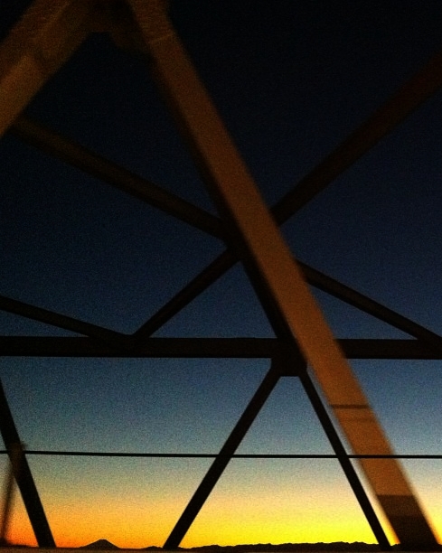
日の出と鉄塔 #steeltower
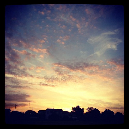
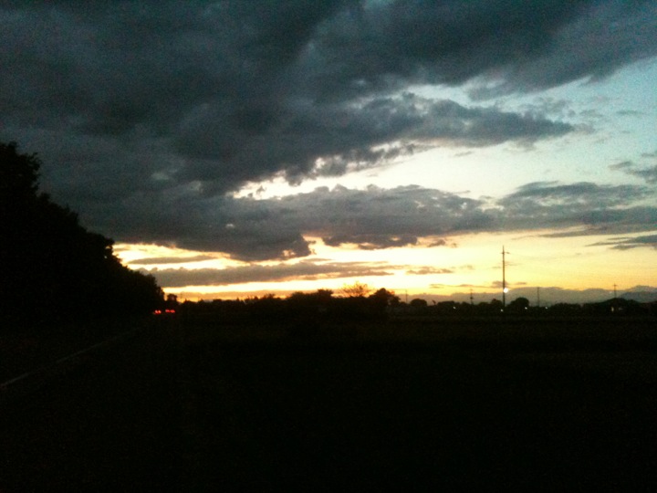
Today's sunset
primal scene2
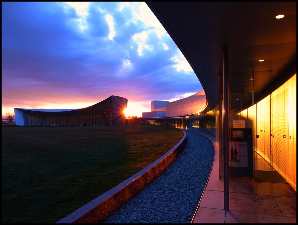
Museum 16:45

Short-eared Owl
サンライズ
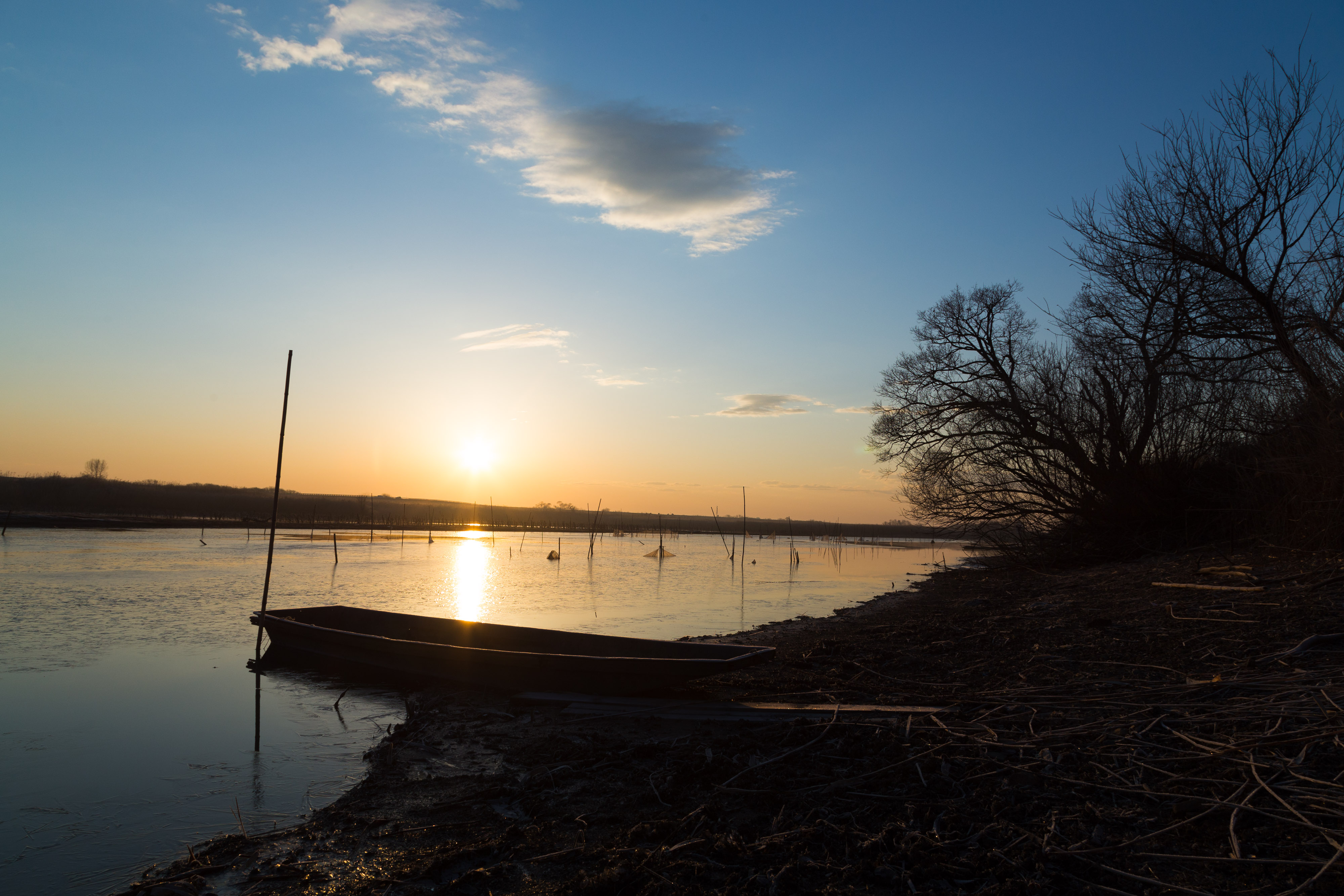
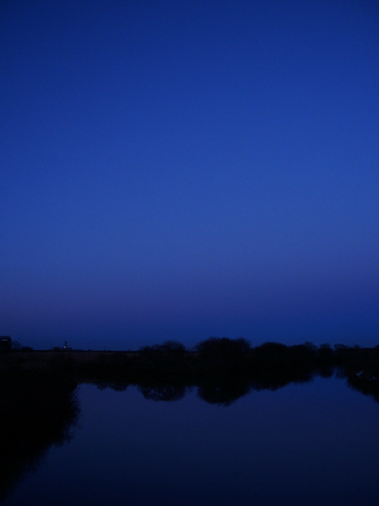
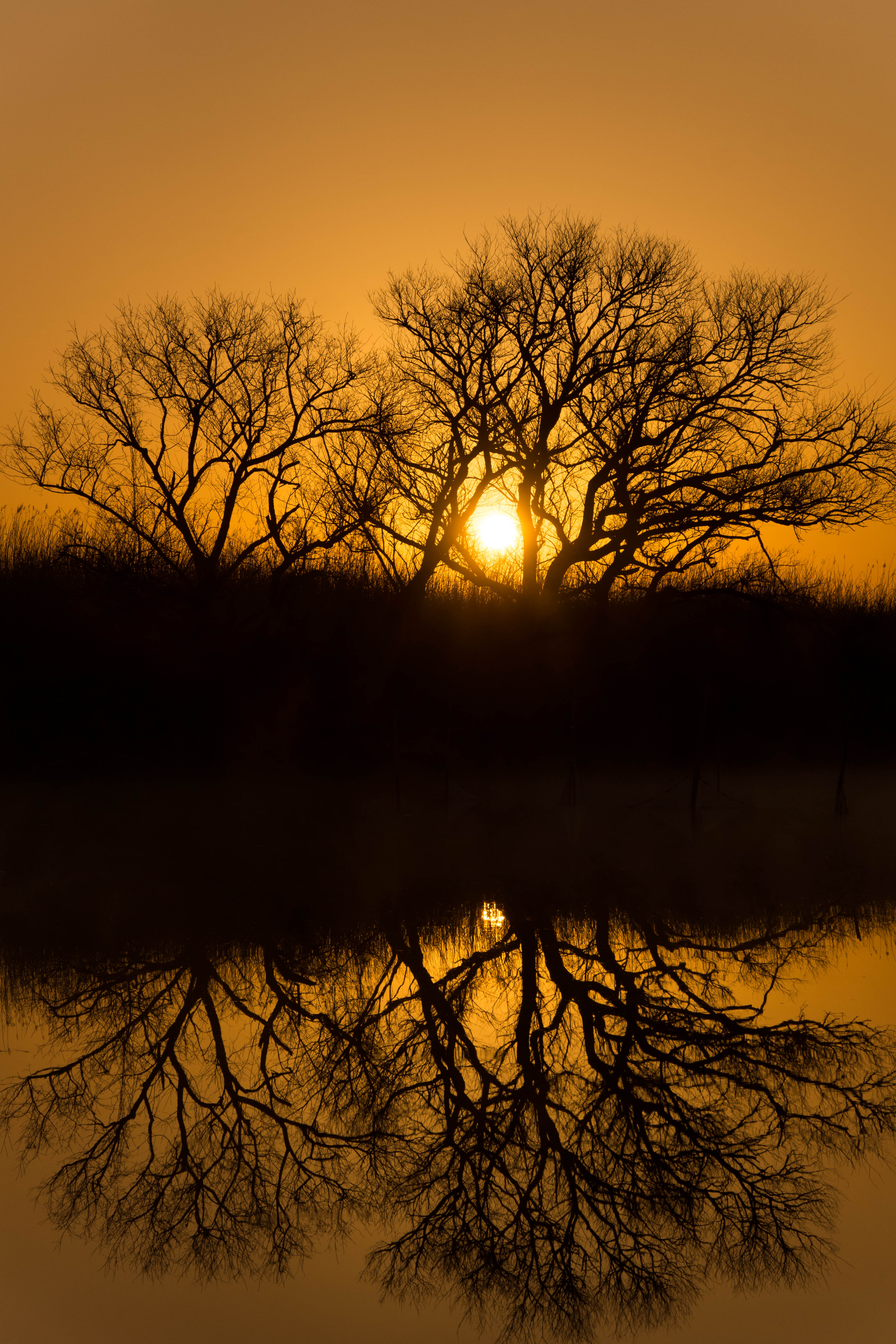
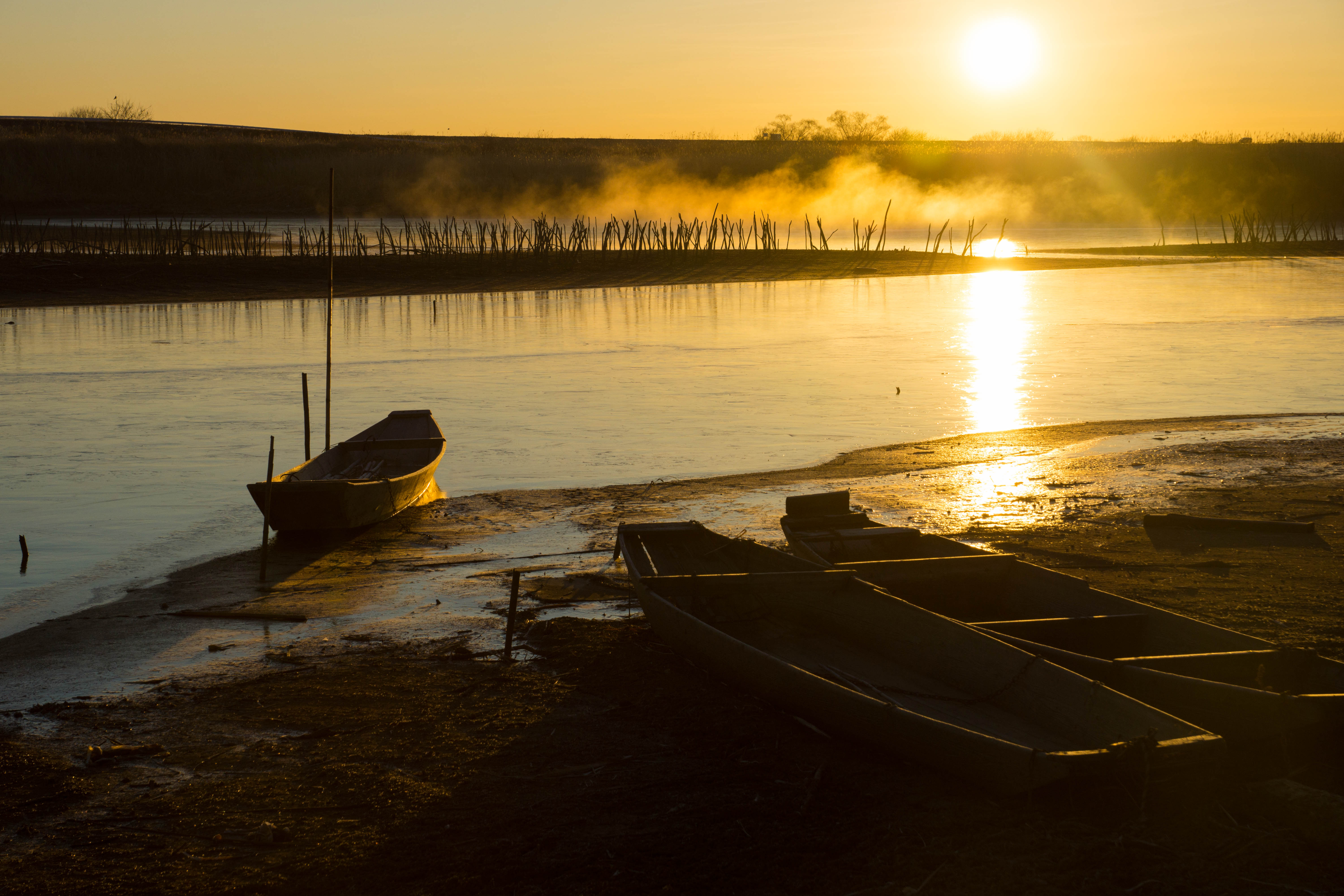
morning at watarase

麦 Barley Sunrise
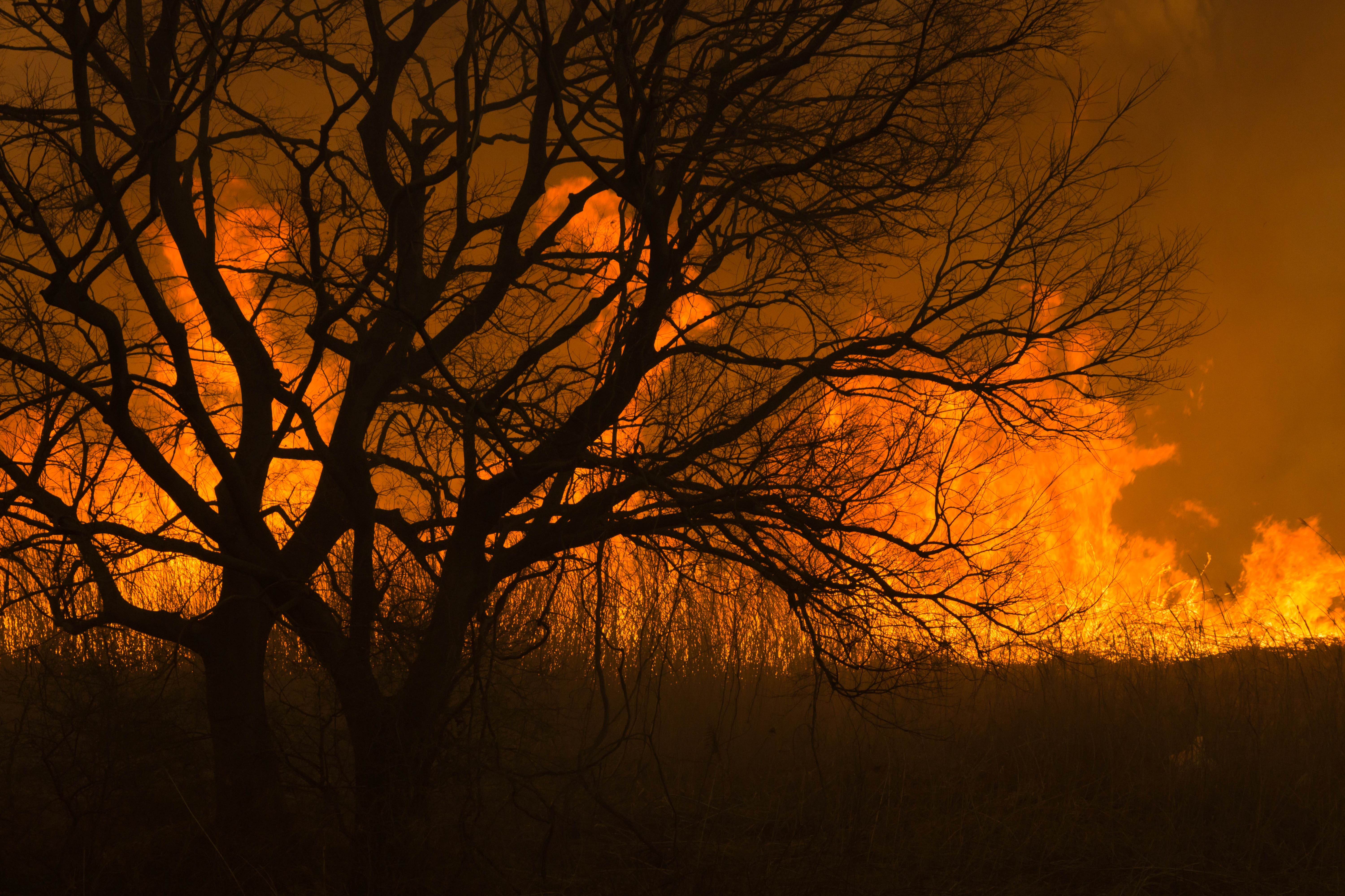
Reed burning in the Watarase anti-flood pond
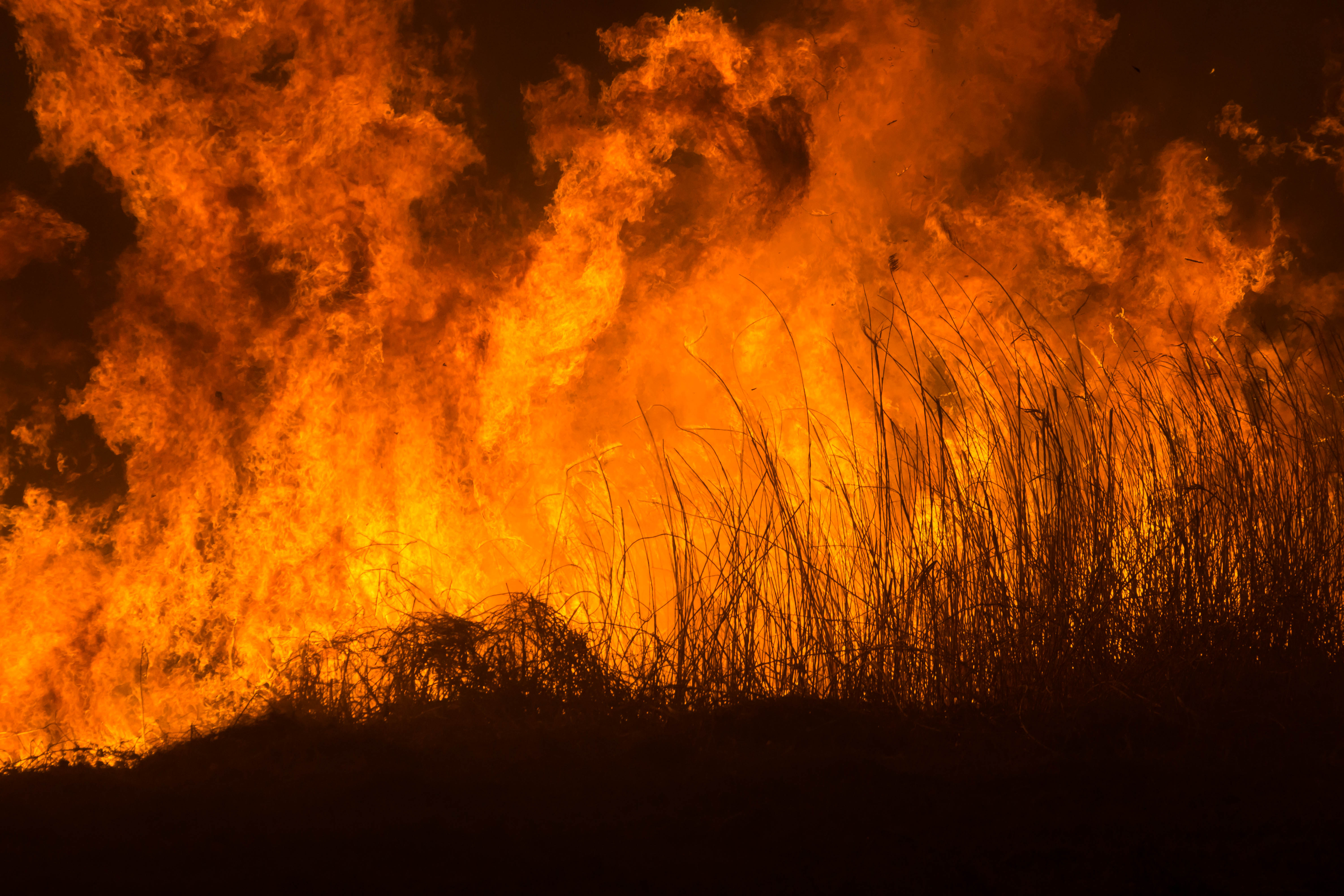
Reed burning in the Watarase anti-flood pond
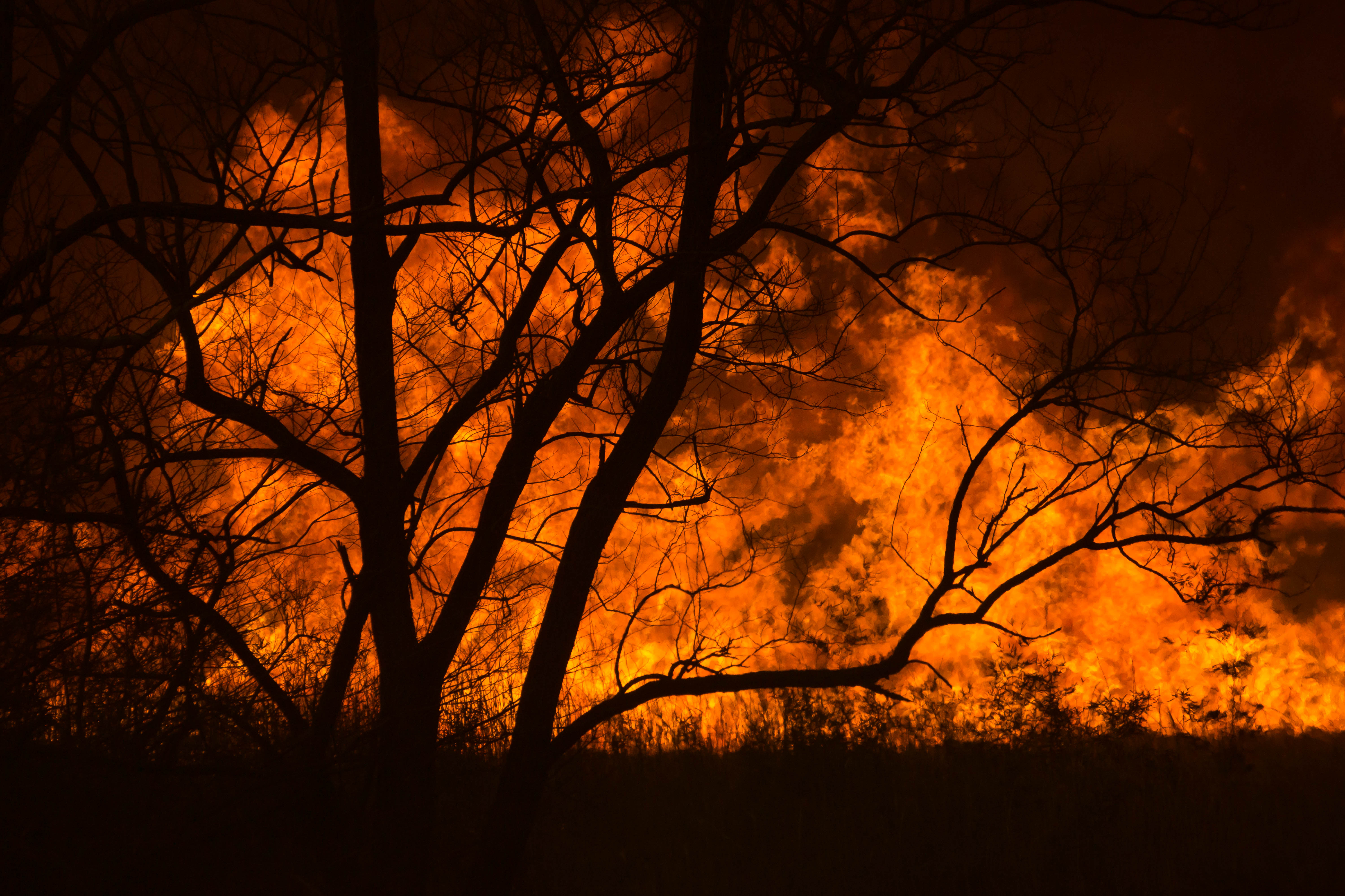
Reed burning in the Watarase anti-flood pond

Reed burning in the Watarase anti-flood pond
DSC06800.jpg
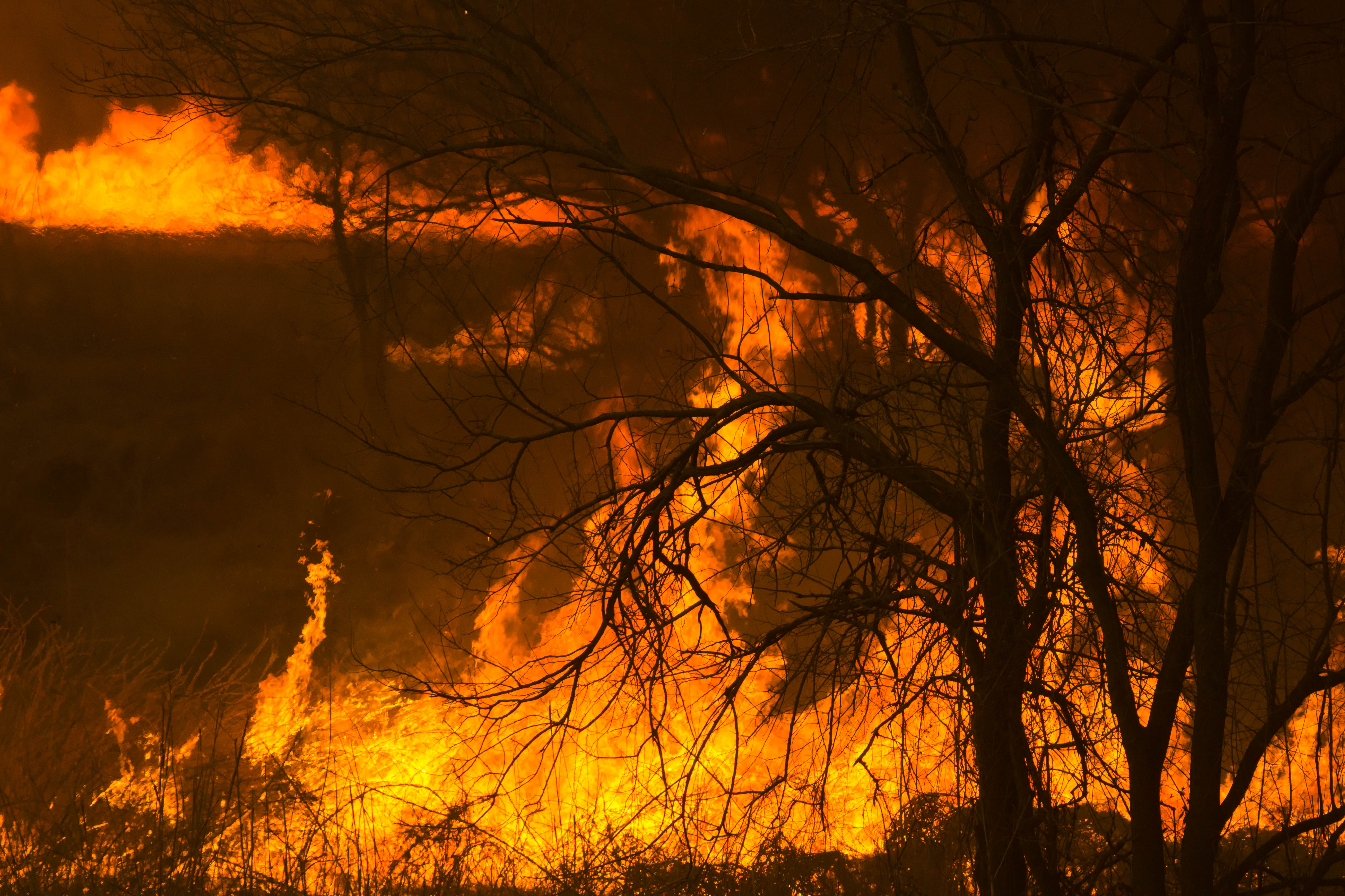
Reed burning in the Watarase anti-flood pond

新しい朝

Reed burning in the Watarase anti-flood pond
DSC06053.jpg
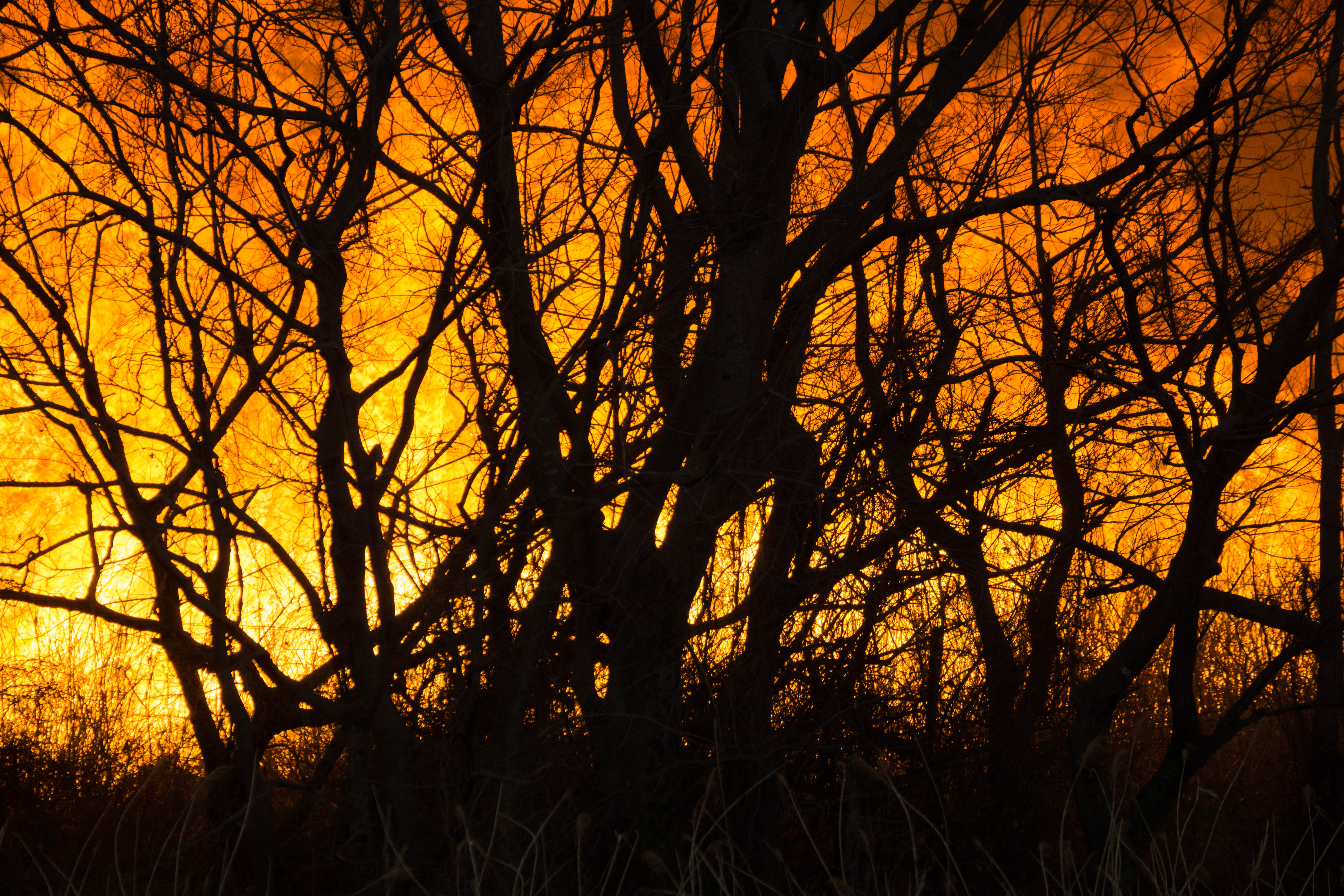
Reed burning in the Watarase anti-flood pond
ここでの夕焼けもあまり撮れなくなるなぁ。。

麦 Barley Sunrise
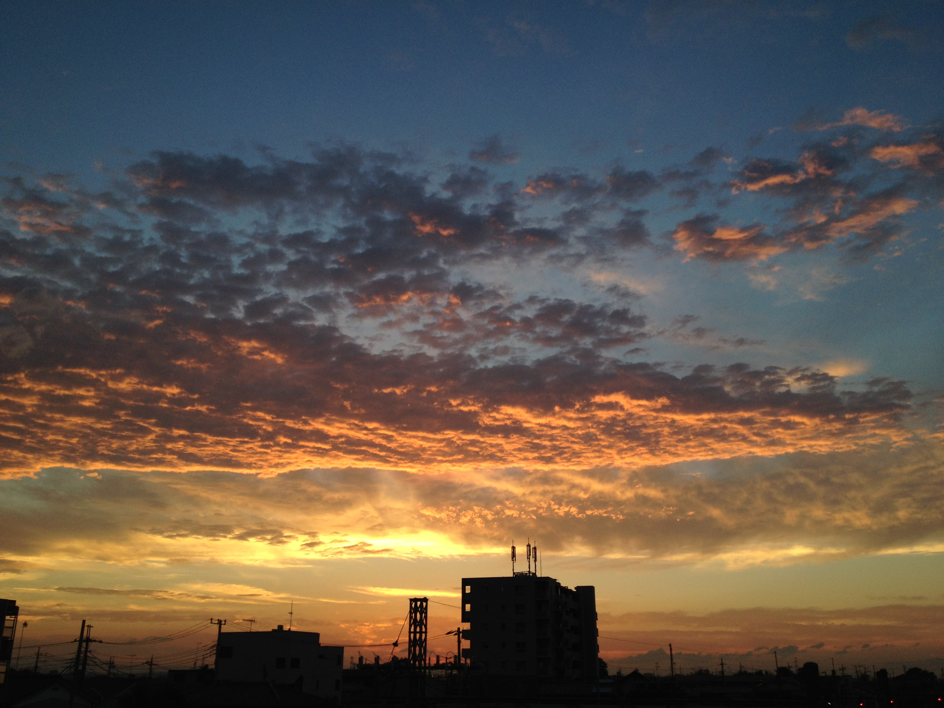
Sunset clouds -3
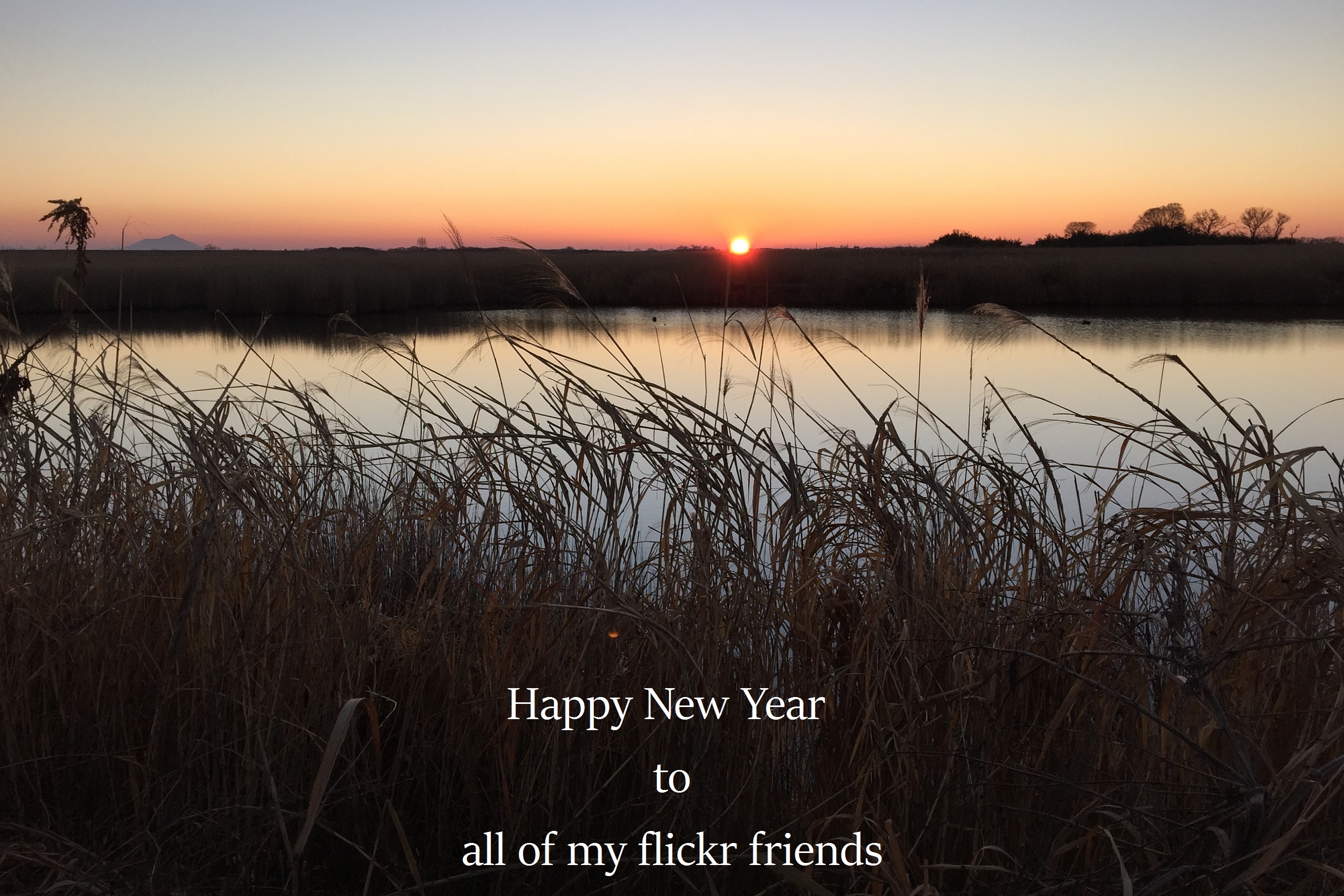
The first sunrise of the year 2016

麦 Barley Sunrise

sunrise through reeds

麦 Barley Sunrise

麦 Barley Sunrise

麦 Barley Sunrise

麦 Barley Sunrise

麦 Barley Sunrise

麦 Barley Sunrise
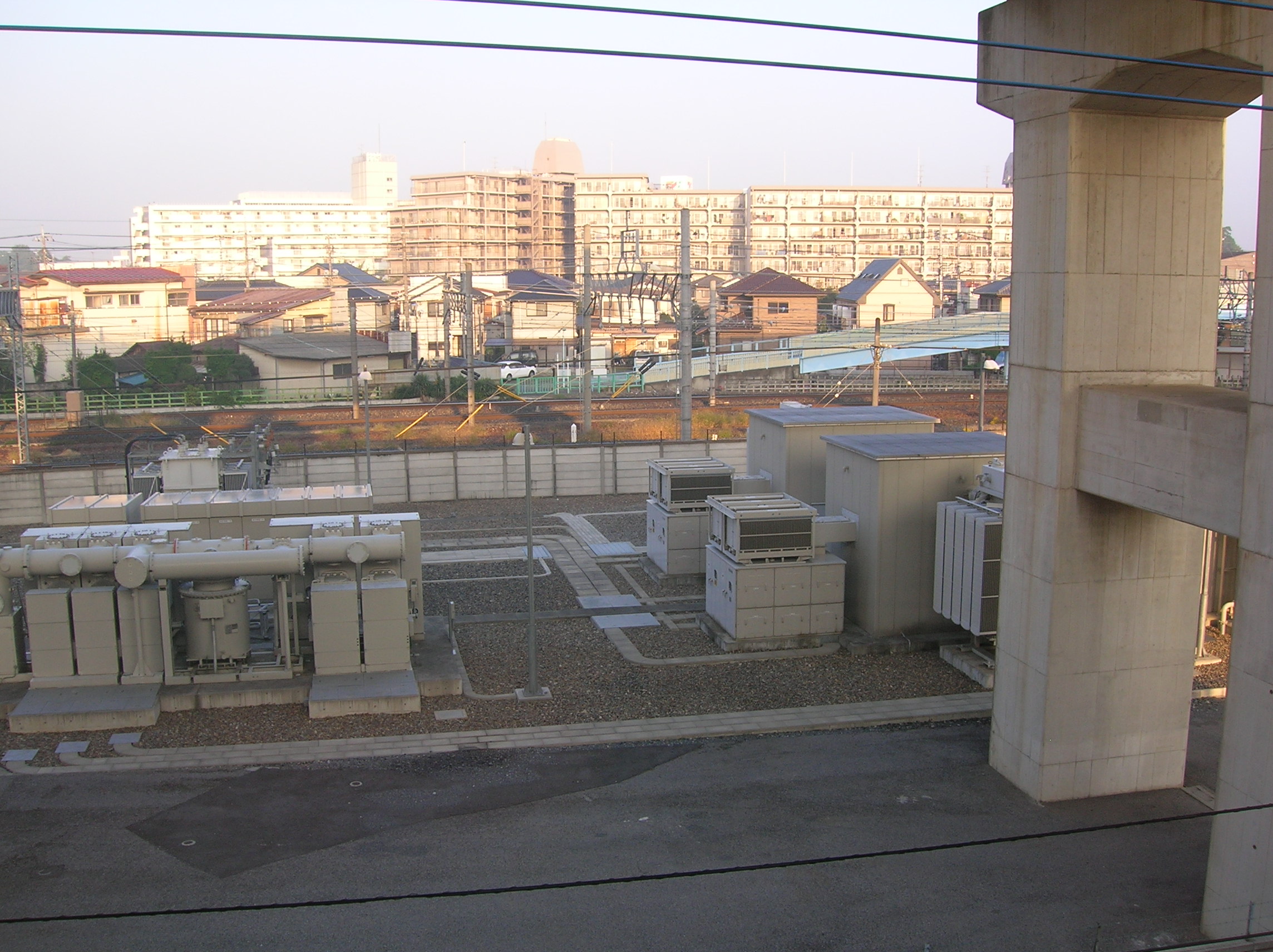
Sunrise on the cement apartment blocks

Sakitama Burial Mounds

Fog at sunrise
日本, 〒- 埼玉県羽生市北荻島134の地図
別の場所を検索
近所の場所
日本, 〒- 埼玉県羽生市下手子林1250
日本, 〒- 埼玉県羽生市今泉923
日本, 〒- 埼玉県羽生市日野手新田69
日本, 〒- 埼玉県羽生市上村君1556
日本, 〒- 埼玉県羽生市下村君864
日本、〒- 埼玉県羽生市大字三田ケ谷1529
日本, 〒- 埼玉県羽生市常木214−4
日本, 埼玉県加須市
日本, 〒- 埼玉県加須市多門寺669
日本、〒- 埼玉県加須市南篠崎1134−1
日本, 〒- 埼玉県加須市根古屋648
日本、〒- 埼玉県加須市根古屋648−7
日本、〒- 埼玉県加須市大桑1丁目1−2
日本、〒- 埼玉県加須市柳生1831−11
〒-, 日本
日本、〒- 埼玉県加須市柳生
日本、〒- 埼玉県加須市小野袋1834−4柳生駅
日本, 〒- 埼玉県久喜市菖蒲町菖蒲236
日本、〒- 埼玉県加須市旗井
日本、〒- 埼玉県久喜市菖蒲町三箇
最近の検索
- Leguwa, Nepal日の出日の入り時間
- Shustino, Vladimir Oblast, ロシア日の出日の入り時間
- Lampiasi St, Sarasota, FL, USA日の出日の入り時間
- 日本、〒- 富山県富山市窪本町12−31 APAガーデンコート稲荷日の出日の入り時間
- 台湾 宜蘭県 大同郷Jialuohu日の出日の入り時間
- 日本、〒- 愛媛県今治市関前大下大下港日の出日の入り時間
- 日本、〒- 愛媛県今治市関前大下1930−1大下港フェリー乗り場日の出日の入り時間
- アルゼンチン ブエノスアイレス州 サン・テルモ日の出日の入り時間
- Congressional Dr, Stevensville, MD アメリカ合衆国日の出日の入り時間
- ギリシャ 〒 04 パピンゴ日の出日の入り時間