James River Rd, Howardsville, VA アメリカ合衆国日の出日の入り時間
Location: アメリカ合衆国 > バージニア州 > アルベマール > アメリカ合衆国 バージニア州 スコッツビル > アメリカ合衆国 〒 バージニア州 ハワーズヴィル >
時間帯:
America/New_York
現地時間:
2024-04-27 20:29:45
経度:
-78.622551
緯度:
37.756633
今日の日の出時刻:
06:21:03 AM
今日の日の入時刻:
08:02:40 PM
今日の日長:
13h 41m 37s
明日の日の出時刻:
06:19:52 AM
明日の日の入時刻:
08:03:35 PM
明日の日長:
13h 43m 43s
すべて表示する
| 日付 | 日出 | 日没 | 日長 |
|---|---|---|---|
| 2024年01月01日 | 07:29:50 AM | 05:06:40 PM | 9h 36m 50s |
| 2024年01月02日 | 07:29:57 AM | 05:07:29 PM | 9h 37m 32s |
| 2024年01月03日 | 07:30:02 AM | 05:08:19 PM | 9h 38m 17s |
| 2024年01月04日 | 07:30:05 AM | 05:09:10 PM | 9h 39m 5s |
| 2024年01月05日 | 07:30:06 AM | 05:10:03 PM | 9h 39m 57s |
| 2024年01月06日 | 07:30:04 AM | 05:10:57 PM | 9h 40m 53s |
| 2024年01月07日 | 07:30:01 AM | 05:11:52 PM | 9h 41m 51s |
| 2024年01月08日 | 07:29:56 AM | 05:12:47 PM | 9h 42m 51s |
| 2024年01月09日 | 07:29:48 AM | 05:13:44 PM | 9h 43m 56s |
| 2024年01月10日 | 07:29:39 AM | 05:14:42 PM | 9h 45m 3s |
| 2024年01月11日 | 07:29:27 AM | 05:15:41 PM | 9h 46m 14s |
| 2024年01月12日 | 07:29:14 AM | 05:16:41 PM | 9h 47m 27s |
| 2024年01月13日 | 07:28:58 AM | 05:17:41 PM | 9h 48m 43s |
| 2024年01月14日 | 07:28:40 AM | 05:18:42 PM | 9h 50m 2s |
| 2024年01月15日 | 07:28:20 AM | 05:19:44 PM | 9h 51m 24s |
| 2024年01月16日 | 07:27:59 AM | 05:20:47 PM | 9h 52m 48s |
| 2024年01月17日 | 07:27:35 AM | 05:21:50 PM | 9h 54m 15s |
| 2024年01月18日 | 07:27:09 AM | 05:22:53 PM | 9h 55m 44s |
| 2024年01月19日 | 07:26:41 AM | 05:23:58 PM | 9h 57m 17s |
| 2024年01月20日 | 07:26:12 AM | 05:25:02 PM | 9h 58m 50s |
| 2024年01月21日 | 07:25:40 AM | 05:26:07 PM | 10h 0m 27s |
| 2024年01月22日 | 07:25:07 AM | 05:27:13 PM | 10h 2m 6s |
| 2024年01月23日 | 07:24:31 AM | 05:28:18 PM | 10h 3m 47s |
| 2024年01月24日 | 07:23:54 AM | 05:29:25 PM | 10h 5m 31s |
| 2024年01月25日 | 07:23:15 AM | 05:30:31 PM | 10h 7m 16s |
| 2024年01月26日 | 07:22:34 AM | 05:31:37 PM | 10h 9m 3s |
| 2024年01月27日 | 07:21:52 AM | 05:32:44 PM | 10h 10m 52s |
| 2024年01月28日 | 07:21:07 AM | 05:33:51 PM | 10h 12m 44s |
| 2024年01月29日 | 07:20:21 AM | 05:34:58 PM | 10h 14m 37s |
| 2024年01月30日 | 07:19:33 AM | 05:36:05 PM | 10h 16m 32s |
| 2024年01月31日 | 07:18:44 AM | 05:37:12 PM | 10h 18m 28s |
| 2024年02月01日 | 07:17:53 AM | 05:38:19 PM | 10h 20m 26s |
| 2024年02月02日 | 07:17:00 AM | 05:39:26 PM | 10h 22m 26s |
| 2024年02月03日 | 07:16:06 AM | 05:40:32 PM | 10h 24m 26s |
| 2024年02月04日 | 07:15:10 AM | 05:41:39 PM | 10h 26m 29s |
| 2024年02月05日 | 07:14:13 AM | 05:42:46 PM | 10h 28m 33s |
| 2024年02月06日 | 07:13:14 AM | 05:43:53 PM | 10h 30m 39s |
| 2024年02月07日 | 07:12:13 AM | 05:44:59 PM | 10h 32m 46s |
| 2024年02月08日 | 07:11:12 AM | 05:46:05 PM | 10h 34m 53s |
| 2024年02月09日 | 07:10:09 AM | 05:47:11 PM | 10h 37m 2s |
| 2024年02月10日 | 07:09:04 AM | 05:48:17 PM | 10h 39m 13s |
| 2024年02月11日 | 07:07:59 AM | 05:49:23 PM | 10h 41m 24s |
| 2024年02月12日 | 07:06:52 AM | 05:50:28 PM | 10h 43m 36s |
| 2024年02月13日 | 07:05:44 AM | 05:51:33 PM | 10h 45m 49s |
| 2024年02月14日 | 07:04:34 AM | 05:52:38 PM | 10h 48m 4s |
| 2024年02月15日 | 07:03:24 AM | 05:53:43 PM | 10h 50m 19s |
| 2024年02月16日 | 07:02:12 AM | 05:54:47 PM | 10h 52m 35s |
| 2024年02月17日 | 07:00:59 AM | 05:55:51 PM | 10h 54m 52s |
| 2024年02月18日 | 06:59:45 AM | 05:56:55 PM | 10h 57m 10s |
| 2024年02月19日 | 06:58:30 AM | 05:57:58 PM | 10h 59m 28s |
| 2024年02月20日 | 06:57:14 AM | 05:59:01 PM | 11h 1m 47s |
| 2024年02月21日 | 06:55:57 AM | 06:00:04 PM | 11h 4m 7s |
| 2024年02月22日 | 06:54:39 AM | 06:01:07 PM | 11h 6m 28s |
| 2024年02月23日 | 06:53:20 AM | 06:02:09 PM | 11h 8m 49s |
| 2024年02月24日 | 06:52:01 AM | 06:03:11 PM | 11h 11m 10s |
| 2024年02月25日 | 06:50:40 AM | 06:04:12 PM | 11h 13m 32s |
| 2024年02月26日 | 06:49:19 AM | 06:05:13 PM | 11h 15m 54s |
| 2024年02月27日 | 06:47:57 AM | 06:06:14 PM | 11h 18m 17s |
| 2024年02月28日 | 06:46:34 AM | 06:07:15 PM | 11h 20m 41s |
| 2024年02月29日 | 06:45:10 AM | 06:08:15 PM | 11h 23m 5s |
| 2024年03月01日 | 06:43:46 AM | 06:09:15 PM | 11h 25m 29s |
| 2024年03月02日 | 06:42:21 AM | 06:10:15 PM | 11h 27m 54s |
| 2024年03月03日 | 06:40:55 AM | 06:11:14 PM | 11h 30m 19s |
| 2024年03月04日 | 06:39:29 AM | 06:12:13 PM | 11h 32m 44s |
| 2024年03月05日 | 06:38:03 AM | 06:13:12 PM | 11h 35m 9s |
| 2024年03月06日 | 06:36:35 AM | 06:14:10 PM | 11h 37m 35s |
| 2024年03月07日 | 06:35:08 AM | 06:15:09 PM | 11h 40m 1s |
| 2024年03月08日 | 06:33:39 AM | 06:16:07 PM | 11h 42m 28s |
| 2024年03月09日 | 06:32:11 AM | 06:17:04 PM | 11h 44m 53s |
| 2024年03月10日 | 07:30:46 AM | 07:17:59 PM | 11h 47m 13s |
| 2024年03月11日 | 07:29:16 AM | 07:18:57 PM | 11h 49m 41s |
| 2024年03月12日 | 07:27:47 AM | 07:19:54 PM | 11h 52m 7s |
| 2024年03月13日 | 07:26:17 AM | 07:20:51 PM | 11h 54m 34s |
| 2024年03月14日 | 07:24:46 AM | 07:21:47 PM | 11h 57m 1s |
| 2024年03月15日 | 07:23:16 AM | 07:22:44 PM | 11h 59m 28s |
| 2024年03月16日 | 07:21:45 AM | 07:23:40 PM | 12h 1m 55s |
| 2024年03月17日 | 07:20:14 AM | 07:24:36 PM | 12h 4m 22s |
| 2024年03月18日 | 07:18:43 AM | 07:25:32 PM | 12h 6m 49s |
| 2024年03月19日 | 07:17:12 AM | 07:26:27 PM | 12h 9m 15s |
| 2024年03月20日 | 07:15:41 AM | 07:27:23 PM | 12h 11m 42s |
| 2024年03月21日 | 07:14:09 AM | 07:28:19 PM | 12h 14m 10s |
| 2024年03月22日 | 07:12:38 AM | 07:29:14 PM | 12h 16m 36s |
| 2024年03月23日 | 07:11:07 AM | 07:30:09 PM | 12h 19m 2s |
| 2024年03月24日 | 07:09:35 AM | 07:31:04 PM | 12h 21m 29s |
| 2024年03月25日 | 07:08:04 AM | 07:31:59 PM | 12h 23m 55s |
| 2024年03月26日 | 07:06:33 AM | 07:32:54 PM | 12h 26m 21s |
| 2024年03月27日 | 07:05:02 AM | 07:33:49 PM | 12h 28m 47s |
| 2024年03月28日 | 07:03:31 AM | 07:34:44 PM | 12h 31m 13s |
| 2024年03月29日 | 07:02:00 AM | 07:35:39 PM | 12h 33m 39s |
| 2024年03月30日 | 07:00:30 AM | 07:36:34 PM | 12h 36m 4s |
| 2024年03月31日 | 06:58:59 AM | 07:37:28 PM | 12h 38m 29s |
| 2024年04月01日 | 06:57:29 AM | 07:38:23 PM | 12h 40m 54s |
| 2024年04月02日 | 06:56:00 AM | 07:39:18 PM | 12h 43m 18s |
| 2024年04月03日 | 06:54:30 AM | 07:40:12 PM | 12h 45m 42s |
| 2024年04月04日 | 06:53:01 AM | 07:41:07 PM | 12h 48m 6s |
| 2024年04月05日 | 06:51:32 AM | 07:42:02 PM | 12h 50m 30s |
| 2024年04月06日 | 06:50:04 AM | 07:42:56 PM | 12h 52m 52s |
| 2024年04月07日 | 06:48:36 AM | 07:43:51 PM | 12h 55m 15s |
| 2024年04月08日 | 06:47:09 AM | 07:44:46 PM | 12h 57m 37s |
| 2024年04月09日 | 06:45:42 AM | 07:45:41 PM | 12h 59m 59s |
| 2024年04月10日 | 06:44:16 AM | 07:46:35 PM | 13h 2m 19s |
| 2024年04月11日 | 06:42:50 AM | 07:47:30 PM | 13h 4m 40s |
| 2024年04月12日 | 06:41:25 AM | 07:48:25 PM | 13h 7m 0s |
| 2024年04月13日 | 06:40:00 AM | 07:49:20 PM | 13h 9m 20s |
| 2024年04月14日 | 06:38:36 AM | 07:50:15 PM | 13h 11m 39s |
| 2024年04月15日 | 06:37:13 AM | 07:51:10 PM | 13h 13m 57s |
| 2024年04月16日 | 06:35:51 AM | 07:52:05 PM | 13h 16m 14s |
| 2024年04月17日 | 06:34:29 AM | 07:53:00 PM | 13h 18m 31s |
| 2024年04月18日 | 06:33:08 AM | 07:53:55 PM | 13h 20m 47s |
| 2024年04月19日 | 06:31:48 AM | 07:54:50 PM | 13h 23m 2s |
| 2024年04月20日 | 06:30:28 AM | 07:55:46 PM | 13h 25m 18s |
| 2024年04月21日 | 06:29:10 AM | 07:56:41 PM | 13h 27m 31s |
| 2024年04月22日 | 06:27:52 AM | 07:57:36 PM | 13h 29m 44s |
| 2024年04月23日 | 06:26:36 AM | 07:58:31 PM | 13h 31m 55s |
| 2024年04月24日 | 06:25:20 AM | 07:59:27 PM | 13h 34m 7s |
| 2024年04月25日 | 06:24:05 AM | 08:00:22 PM | 13h 36m 17s |
| 2024年04月26日 | 06:22:51 AM | 08:01:17 PM | 13h 38m 26s |
| 2024年04月27日 | 06:21:39 AM | 08:02:12 PM | 13h 40m 33s |
| 2024年04月28日 | 06:20:27 AM | 08:03:07 PM | 13h 42m 40s |
| 2024年04月29日 | 06:19:17 AM | 08:04:03 PM | 13h 44m 46s |
| 2024年04月30日 | 06:18:07 AM | 08:04:58 PM | 13h 46m 51s |
| 2024年05月01日 | 06:16:59 AM | 08:05:53 PM | 13h 48m 54s |
| 2024年05月02日 | 06:15:52 AM | 08:06:47 PM | 13h 50m 55s |
| 2024年05月03日 | 06:14:46 AM | 08:07:42 PM | 13h 52m 56s |
| 2024年05月04日 | 06:13:42 AM | 08:08:37 PM | 13h 54m 55s |
| 2024年05月05日 | 06:12:39 AM | 08:09:31 PM | 13h 56m 52s |
| 2024年05月06日 | 06:11:37 AM | 08:10:26 PM | 13h 58m 49s |
| 2024年05月07日 | 06:10:36 AM | 08:11:20 PM | 14h 0m 44s |
| 2024年05月08日 | 06:09:37 AM | 08:12:14 PM | 14h 2m 37s |
| 2024年05月09日 | 06:08:39 AM | 08:13:07 PM | 14h 4m 28s |
| 2024年05月10日 | 06:07:42 AM | 08:14:01 PM | 14h 6m 19s |
| 2024年05月11日 | 06:06:47 AM | 08:14:54 PM | 14h 8m 7s |
| 2024年05月12日 | 06:05:54 AM | 08:15:47 PM | 14h 9m 53s |
| 2024年05月13日 | 06:05:02 AM | 08:16:39 PM | 14h 11m 37s |
| 2024年05月14日 | 06:04:11 AM | 08:17:31 PM | 14h 13m 20s |
| 2024年05月15日 | 06:03:22 AM | 08:18:23 PM | 14h 15m 1s |
| 2024年05月16日 | 06:02:35 AM | 08:19:14 PM | 14h 16m 39s |
| 2024年05月17日 | 06:01:49 AM | 08:20:05 PM | 14h 18m 16s |
| 2024年05月18日 | 06:01:04 AM | 08:20:55 PM | 14h 19m 51s |
| 2024年05月19日 | 06:00:22 AM | 08:21:45 PM | 14h 21m 23s |
| 2024年05月20日 | 05:59:41 AM | 08:22:34 PM | 14h 22m 53s |
| 2024年05月21日 | 05:59:01 AM | 08:23:22 PM | 14h 24m 21s |
| 2024年05月22日 | 05:58:23 AM | 08:24:10 PM | 14h 25m 47s |
| 2024年05月23日 | 05:57:47 AM | 08:24:57 PM | 14h 27m 10s |
| 2024年05月24日 | 05:57:13 AM | 08:25:44 PM | 14h 28m 31s |
| 2024年05月25日 | 05:56:41 AM | 08:26:30 PM | 14h 29m 49s |
| 2024年05月26日 | 05:56:10 AM | 08:27:15 PM | 14h 31m 5s |
| 2024年05月27日 | 05:55:41 AM | 08:27:59 PM | 14h 32m 18s |
| 2024年05月28日 | 05:55:13 AM | 08:28:42 PM | 14h 33m 29s |
| 2024年05月29日 | 05:54:48 AM | 08:29:24 PM | 14h 34m 36s |
| 2024年05月30日 | 05:54:24 AM | 08:30:06 PM | 14h 35m 42s |
| 2024年05月31日 | 05:54:02 AM | 08:30:46 PM | 14h 36m 44s |
| 2024年06月01日 | 05:53:42 AM | 08:31:25 PM | 14h 37m 43s |
| 2024年06月02日 | 05:53:24 AM | 08:32:04 PM | 14h 38m 40s |
| 2024年06月03日 | 05:53:07 AM | 08:32:41 PM | 14h 39m 34s |
| 2024年06月04日 | 05:52:52 AM | 08:33:17 PM | 14h 40m 25s |
| 2024年06月05日 | 05:52:39 AM | 08:33:52 PM | 14h 41m 13s |
| 2024年06月06日 | 05:52:28 AM | 08:34:26 PM | 14h 41m 58s |
| 2024年06月07日 | 05:52:19 AM | 08:34:58 PM | 14h 42m 39s |
| 2024年06月08日 | 05:52:11 AM | 08:35:29 PM | 14h 43m 18s |
| 2024年06月09日 | 05:52:06 AM | 08:35:59 PM | 14h 43m 53s |
| 2024年06月10日 | 05:52:02 AM | 08:36:27 PM | 14h 44m 25s |
| 2024年06月11日 | 05:51:59 AM | 08:36:54 PM | 14h 44m 55s |
| 2024年06月12日 | 05:51:59 AM | 08:37:20 PM | 14h 45m 21s |
| 2024年06月13日 | 05:52:00 AM | 08:37:44 PM | 14h 45m 44s |
| 2024年06月14日 | 05:52:03 AM | 08:38:07 PM | 14h 46m 4s |
| 2024年06月15日 | 05:52:08 AM | 08:38:28 PM | 14h 46m 20s |
| 2024年06月16日 | 05:52:15 AM | 08:38:47 PM | 14h 46m 32s |
| 2024年06月17日 | 05:52:23 AM | 08:39:05 PM | 14h 46m 42s |
| 2024年06月18日 | 05:52:33 AM | 08:39:21 PM | 14h 46m 48s |
| 2024年06月19日 | 05:52:44 AM | 08:39:36 PM | 14h 46m 52s |
| 2024年06月20日 | 05:52:57 AM | 08:39:49 PM | 14h 46m 52s |
| 2024年06月21日 | 05:53:12 AM | 08:40:00 PM | 14h 46m 48s |
| 2024年06月22日 | 05:53:28 AM | 08:40:10 PM | 14h 46m 42s |
| 2024年06月23日 | 05:53:46 AM | 08:40:18 PM | 14h 46m 32s |
| 2024年06月24日 | 05:54:05 AM | 08:40:24 PM | 14h 46m 19s |
| 2024年06月25日 | 05:54:26 AM | 08:40:28 PM | 14h 46m 2s |
| 2024年06月26日 | 05:54:49 AM | 08:40:31 PM | 14h 45m 42s |
| 2024年06月27日 | 05:55:12 AM | 08:40:32 PM | 14h 45m 20s |
| 2024年06月28日 | 05:55:37 AM | 08:40:31 PM | 14h 44m 54s |
| 2024年06月29日 | 05:56:04 AM | 08:40:28 PM | 14h 44m 24s |
| 2024年06月30日 | 05:56:32 AM | 08:40:23 PM | 14h 43m 51s |
| 2024年07月01日 | 05:57:01 AM | 08:40:17 PM | 14h 43m 16s |
| 2024年07月02日 | 05:57:31 AM | 08:40:09 PM | 14h 42m 38s |
| 2024年07月03日 | 05:58:02 AM | 08:39:58 PM | 14h 41m 56s |
| 2024年07月04日 | 05:58:35 AM | 08:39:46 PM | 14h 41m 11s |
| 2024年07月05日 | 05:59:09 AM | 08:39:33 PM | 14h 40m 24s |
| 2024年07月06日 | 05:59:44 AM | 08:39:17 PM | 14h 39m 33s |
| 2024年07月07日 | 06:00:20 AM | 08:38:59 PM | 14h 38m 39s |
| 2024年07月08日 | 06:00:57 AM | 08:38:40 PM | 14h 37m 43s |
| 2024年07月09日 | 06:01:35 AM | 08:38:19 PM | 14h 36m 44s |
| 2024年07月10日 | 06:02:14 AM | 08:37:56 PM | 14h 35m 42s |
| 2024年07月11日 | 06:02:54 AM | 08:37:31 PM | 14h 34m 37s |
| 2024年07月12日 | 06:03:35 AM | 08:37:04 PM | 14h 33m 29s |
| 2024年07月13日 | 06:04:16 AM | 08:36:36 PM | 14h 32m 20s |
| 2024年07月14日 | 06:04:59 AM | 08:36:05 PM | 14h 31m 6s |
| 2024年07月15日 | 06:05:42 AM | 08:35:33 PM | 14h 29m 51s |
| 2024年07月16日 | 06:06:26 AM | 08:34:59 PM | 14h 28m 33s |
| 2024年07月17日 | 06:07:10 AM | 08:34:24 PM | 14h 27m 14s |
| 2024年07月18日 | 06:07:55 AM | 08:33:46 PM | 14h 25m 51s |
| 2024年07月19日 | 06:08:41 AM | 08:33:07 PM | 14h 24m 26s |
| 2024年07月20日 | 06:09:28 AM | 08:32:27 PM | 14h 22m 59s |
| 2024年07月21日 | 06:10:15 AM | 08:31:44 PM | 14h 21m 29s |
| 2024年07月22日 | 06:11:02 AM | 08:31:00 PM | 14h 19m 58s |
| 2024年07月23日 | 06:11:50 AM | 08:30:14 PM | 14h 18m 24s |
| 2024年07月24日 | 06:12:38 AM | 08:29:27 PM | 14h 16m 49s |
| 2024年07月25日 | 06:13:27 AM | 08:28:38 PM | 14h 15m 11s |
| 2024年07月26日 | 06:14:16 AM | 08:27:47 PM | 14h 13m 31s |
| 2024年07月27日 | 06:15:05 AM | 08:26:55 PM | 14h 11m 50s |
| 2024年07月28日 | 06:15:55 AM | 08:26:02 PM | 14h 10m 7s |
| 2024年07月29日 | 06:16:45 AM | 08:25:07 PM | 14h 8m 22s |
| 2024年07月30日 | 06:17:35 AM | 08:24:10 PM | 14h 6m 35s |
| 2024年07月31日 | 06:18:26 AM | 08:23:12 PM | 14h 4m 46s |
| 2024年08月01日 | 06:19:17 AM | 08:22:13 PM | 14h 2m 56s |
| 2024年08月02日 | 06:20:08 AM | 08:21:12 PM | 14h 1m 4s |
| 2024年08月03日 | 06:20:59 AM | 08:20:10 PM | 13h 59m 11s |
| 2024年08月04日 | 06:21:50 AM | 08:19:06 PM | 13h 57m 16s |
| 2024年08月05日 | 06:22:41 AM | 08:18:01 PM | 13h 55m 20s |
| 2024年08月06日 | 06:23:33 AM | 08:16:55 PM | 13h 53m 22s |
| 2024年08月07日 | 06:24:24 AM | 08:15:48 PM | 13h 51m 24s |
| 2024年08月08日 | 06:25:16 AM | 08:14:39 PM | 13h 49m 23s |
| 2024年08月09日 | 06:26:07 AM | 08:13:29 PM | 13h 47m 22s |
| 2024年08月10日 | 06:26:59 AM | 08:12:18 PM | 13h 45m 19s |
| 2024年08月11日 | 06:27:51 AM | 08:11:06 PM | 13h 43m 15s |
| 2024年08月12日 | 06:28:42 AM | 08:09:53 PM | 13h 41m 11s |
| 2024年08月13日 | 06:29:34 AM | 08:08:38 PM | 13h 39m 4s |
| 2024年08月14日 | 06:30:25 AM | 08:07:23 PM | 13h 36m 58s |
| 2024年08月15日 | 06:31:17 AM | 08:06:07 PM | 13h 34m 50s |
| 2024年08月16日 | 06:32:09 AM | 08:04:49 PM | 13h 32m 40s |
| 2024年08月17日 | 06:33:00 AM | 08:03:31 PM | 13h 30m 31s |
| 2024年08月18日 | 06:33:52 AM | 08:02:12 PM | 13h 28m 20s |
| 2024年08月19日 | 06:34:43 AM | 08:00:51 PM | 13h 26m 8s |
| 2024年08月20日 | 06:35:34 AM | 07:59:30 PM | 13h 23m 56s |
| 2024年08月21日 | 06:36:26 AM | 07:58:08 PM | 13h 21m 42s |
| 2024年08月22日 | 06:37:17 AM | 07:56:46 PM | 13h 19m 29s |
| 2024年08月23日 | 06:38:08 AM | 07:55:22 PM | 13h 17m 14s |
| 2024年08月24日 | 06:38:59 AM | 07:53:58 PM | 13h 14m 59s |
| 2024年08月25日 | 06:39:50 AM | 07:52:33 PM | 13h 12m 43s |
| 2024年08月26日 | 06:40:41 AM | 07:51:07 PM | 13h 10m 26s |
| 2024年08月27日 | 06:41:32 AM | 07:49:41 PM | 13h 8m 9s |
| 2024年08月28日 | 06:42:23 AM | 07:48:14 PM | 13h 5m 51s |
| 2024年08月29日 | 06:43:14 AM | 07:46:46 PM | 13h 3m 32s |
| 2024年08月30日 | 06:44:04 AM | 07:45:18 PM | 13h 1m 14s |
| 2024年08月31日 | 06:44:55 AM | 07:43:49 PM | 12h 58m 54s |
| 2024年09月01日 | 06:45:45 AM | 07:42:20 PM | 12h 56m 35s |
| 2024年09月02日 | 06:46:36 AM | 07:40:50 PM | 12h 54m 14s |
| 2024年09月03日 | 06:47:26 AM | 07:39:20 PM | 12h 51m 54s |
| 2024年09月04日 | 06:48:17 AM | 07:37:49 PM | 12h 49m 32s |
| 2024年09月05日 | 06:49:07 AM | 07:36:18 PM | 12h 47m 11s |
| 2024年09月06日 | 06:49:57 AM | 07:34:47 PM | 12h 44m 50s |
| 2024年09月07日 | 06:50:48 AM | 07:33:15 PM | 12h 42m 27s |
| 2024年09月08日 | 06:51:38 AM | 07:31:43 PM | 12h 40m 5s |
| 2024年09月09日 | 06:52:28 AM | 07:30:11 PM | 12h 37m 43s |
| 2024年09月10日 | 06:53:19 AM | 07:28:38 PM | 12h 35m 19s |
| 2024年09月11日 | 06:54:09 AM | 07:27:05 PM | 12h 32m 56s |
| 2024年09月12日 | 06:55:00 AM | 07:25:32 PM | 12h 30m 32s |
| 2024年09月13日 | 06:55:50 AM | 07:23:59 PM | 12h 28m 9s |
| 2024年09月14日 | 06:56:40 AM | 07:22:26 PM | 12h 25m 46s |
| 2024年09月15日 | 06:57:31 AM | 07:20:52 PM | 12h 23m 21s |
| 2024年09月16日 | 06:58:22 AM | 07:19:19 PM | 12h 20m 57s |
| 2024年09月17日 | 06:59:12 AM | 07:17:45 PM | 12h 18m 33s |
| 2024年09月18日 | 07:00:03 AM | 07:16:12 PM | 12h 16m 9s |
| 2024年09月19日 | 07:00:54 AM | 07:14:38 PM | 12h 13m 44s |
| 2024年09月20日 | 07:01:45 AM | 07:13:05 PM | 12h 11m 20s |
| 2024年09月21日 | 07:02:36 AM | 07:11:31 PM | 12h 8m 55s |
| 2024年09月22日 | 07:03:27 AM | 07:09:58 PM | 12h 6m 31s |
| 2024年09月23日 | 07:04:19 AM | 07:08:25 PM | 12h 4m 6s |
| 2024年09月24日 | 07:05:10 AM | 07:06:51 PM | 12h 1m 41s |
| 2024年09月25日 | 07:06:02 AM | 07:05:18 PM | 11h 59m 16s |
| 2024年09月26日 | 07:06:54 AM | 07:03:46 PM | 11h 56m 52s |
| 2024年09月27日 | 07:07:46 AM | 07:02:13 PM | 11h 54m 27s |
| 2024年09月28日 | 07:08:39 AM | 07:00:41 PM | 11h 52m 2s |
| 2024年09月29日 | 07:09:31 AM | 06:59:09 PM | 11h 49m 38s |
| 2024年09月30日 | 07:10:24 AM | 06:57:38 PM | 11h 47m 14s |
| 2024年10月01日 | 07:11:17 AM | 06:56:06 PM | 11h 44m 49s |
| 2024年10月02日 | 07:12:10 AM | 06:54:36 PM | 11h 42m 26s |
| 2024年10月03日 | 07:13:04 AM | 06:53:05 PM | 11h 40m 1s |
| 2024年10月04日 | 07:13:58 AM | 06:51:35 PM | 11h 37m 37s |
| 2024年10月05日 | 07:14:52 AM | 06:50:06 PM | 11h 35m 14s |
| 2024年10月06日 | 07:15:46 AM | 06:48:37 PM | 11h 32m 51s |
| 2024年10月07日 | 07:16:41 AM | 06:47:09 PM | 11h 30m 28s |
| 2024年10月08日 | 07:17:36 AM | 06:45:41 PM | 11h 28m 5s |
| 2024年10月09日 | 07:18:31 AM | 06:44:14 PM | 11h 25m 43s |
| 2024年10月10日 | 07:19:27 AM | 06:42:47 PM | 11h 23m 20s |
| 2024年10月11日 | 07:20:23 AM | 06:41:21 PM | 11h 20m 58s |
| 2024年10月12日 | 07:21:19 AM | 06:39:56 PM | 11h 18m 37s |
| 2024年10月13日 | 07:22:16 AM | 06:38:32 PM | 11h 16m 16s |
| 2024年10月14日 | 07:23:13 AM | 06:37:08 PM | 11h 13m 55s |
| 2024年10月15日 | 07:24:10 AM | 06:35:45 PM | 11h 11m 35s |
| 2024年10月16日 | 07:25:08 AM | 06:34:23 PM | 11h 9m 15s |
| 2024年10月17日 | 07:26:06 AM | 06:33:02 PM | 11h 6m 56s |
| 2024年10月18日 | 07:27:04 AM | 06:31:42 PM | 11h 4m 38s |
| 2024年10月19日 | 07:28:02 AM | 06:30:22 PM | 11h 2m 20s |
| 2024年10月20日 | 07:29:01 AM | 06:29:04 PM | 11h 0m 3s |
| 2024年10月21日 | 07:30:01 AM | 06:27:46 PM | 10h 57m 45s |
| 2024年10月22日 | 07:31:01 AM | 06:26:30 PM | 10h 55m 29s |
| 2024年10月23日 | 07:32:01 AM | 06:25:15 PM | 10h 53m 14s |
| 2024年10月24日 | 07:33:01 AM | 06:24:01 PM | 10h 51m 0s |
| 2024年10月25日 | 07:34:02 AM | 06:22:48 PM | 10h 48m 46s |
| 2024年10月26日 | 07:35:03 AM | 06:21:36 PM | 10h 46m 33s |
| 2024年10月27日 | 07:36:04 AM | 06:20:25 PM | 10h 44m 21s |
| 2024年10月28日 | 07:37:05 AM | 06:19:15 PM | 10h 42m 10s |
| 2024年10月29日 | 07:38:07 AM | 06:18:07 PM | 10h 40m 0s |
| 2024年10月30日 | 07:39:09 AM | 06:17:00 PM | 10h 37m 51s |
| 2024年10月31日 | 07:40:12 AM | 06:15:55 PM | 10h 35m 43s |
| 2024年11月01日 | 07:41:15 AM | 06:14:50 PM | 10h 33m 35s |
| 2024年11月02日 | 07:42:17 AM | 06:13:48 PM | 10h 31m 31s |
| 2024年11月03日 | 06:43:23 AM | 05:12:44 PM | 10h 29m 21s |
| 2024年11月04日 | 06:44:26 AM | 05:11:44 PM | 10h 27m 18s |
| 2024年11月05日 | 06:45:30 AM | 05:10:45 PM | 10h 25m 15s |
| 2024年11月06日 | 06:46:34 AM | 05:09:49 PM | 10h 23m 15s |
| 2024年11月07日 | 06:47:37 AM | 05:08:53 PM | 10h 21m 16s |
| 2024年11月08日 | 06:48:41 AM | 05:08:00 PM | 10h 19m 19s |
| 2024年11月09日 | 06:49:45 AM | 05:07:07 PM | 10h 17m 22s |
| 2024年11月10日 | 06:50:49 AM | 05:06:17 PM | 10h 15m 28s |
| 2024年11月11日 | 06:51:53 AM | 05:05:28 PM | 10h 13m 35s |
| 2024年11月12日 | 06:52:57 AM | 05:04:41 PM | 10h 11m 44s |
| 2024年11月13日 | 06:54:01 AM | 05:03:56 PM | 10h 9m 55s |
| 2024年11月14日 | 06:55:05 AM | 05:03:13 PM | 10h 8m 8s |
| 2024年11月15日 | 06:56:08 AM | 05:02:31 PM | 10h 6m 23s |
| 2024年11月16日 | 06:57:12 AM | 05:01:51 PM | 10h 4m 39s |
| 2024年11月17日 | 06:58:15 AM | 05:01:13 PM | 10h 2m 58s |
| 2024年11月18日 | 06:59:18 AM | 05:00:37 PM | 10h 1m 19s |
| 2024年11月19日 | 07:00:21 AM | 05:00:03 PM | 9h 59m 42s |
| 2024年11月20日 | 07:01:24 AM | 04:59:30 PM | 9h 58m 6s |
| 2024年11月21日 | 07:02:26 AM | 04:59:00 PM | 9h 56m 34s |
| 2024年11月22日 | 07:03:27 AM | 04:58:32 PM | 9h 55m 5s |
| 2024年11月23日 | 07:04:29 AM | 04:58:05 PM | 9h 53m 36s |
| 2024年11月24日 | 07:05:30 AM | 04:57:41 PM | 9h 52m 11s |
| 2024年11月25日 | 07:06:30 AM | 04:57:18 PM | 9h 50m 48s |
| 2024年11月26日 | 07:07:29 AM | 04:56:58 PM | 9h 49m 29s |
| 2024年11月27日 | 07:08:29 AM | 04:56:40 PM | 9h 48m 11s |
| 2024年11月28日 | 07:09:27 AM | 04:56:24 PM | 9h 46m 57s |
| 2024年11月29日 | 07:10:25 AM | 04:56:10 PM | 9h 45m 45s |
| 2024年11月30日 | 07:11:21 AM | 04:55:58 PM | 9h 44m 37s |
| 2024年12月01日 | 07:12:17 AM | 04:55:48 PM | 9h 43m 31s |
| 2024年12月02日 | 07:13:12 AM | 04:55:40 PM | 9h 42m 28s |
| 2024年12月03日 | 07:14:07 AM | 04:55:34 PM | 9h 41m 27s |
| 2024年12月04日 | 07:15:00 AM | 04:55:31 PM | 9h 40m 31s |
| 2024年12月05日 | 07:15:52 AM | 04:55:30 PM | 9h 39m 38s |
| 2024年12月06日 | 07:16:43 AM | 04:55:30 PM | 9h 38m 47s |
| 2024年12月07日 | 07:17:33 AM | 04:55:33 PM | 9h 38m 0s |
| 2024年12月08日 | 07:18:21 AM | 04:55:38 PM | 9h 37m 17s |
| 2024年12月09日 | 07:19:09 AM | 04:55:45 PM | 9h 36m 36s |
| 2024年12月10日 | 07:19:55 AM | 04:55:54 PM | 9h 35m 59s |
| 2024年12月11日 | 07:20:40 AM | 04:56:05 PM | 9h 35m 25s |
| 2024年12月12日 | 07:21:23 AM | 04:56:19 PM | 9h 34m 56s |
| 2024年12月13日 | 07:22:05 AM | 04:56:34 PM | 9h 34m 29s |
| 2024年12月14日 | 07:22:45 AM | 04:56:51 PM | 9h 34m 6s |
| 2024年12月15日 | 07:23:24 AM | 04:57:10 PM | 9h 33m 46s |
| 2024年12月16日 | 07:24:02 AM | 04:57:32 PM | 9h 33m 30s |
| 2024年12月17日 | 07:24:37 AM | 04:57:55 PM | 9h 33m 18s |
| 2024年12月18日 | 07:25:11 AM | 04:58:20 PM | 9h 33m 9s |
| 2024年12月19日 | 07:25:44 AM | 04:58:47 PM | 9h 33m 3s |
| 2024年12月20日 | 07:26:14 AM | 04:59:16 PM | 9h 33m 2s |
| 2024年12月21日 | 07:26:43 AM | 04:59:47 PM | 9h 33m 4s |
| 2024年12月22日 | 07:27:10 AM | 05:00:20 PM | 9h 33m 10s |
| 2024年12月23日 | 07:27:35 AM | 05:00:54 PM | 9h 33m 19s |
| 2024年12月24日 | 07:27:59 AM | 05:01:30 PM | 9h 33m 31s |
| 2024年12月25日 | 07:28:20 AM | 05:02:08 PM | 9h 33m 48s |
| 2024年12月26日 | 07:28:40 AM | 05:02:48 PM | 9h 34m 8s |
| 2024年12月27日 | 07:28:57 AM | 05:03:29 PM | 9h 34m 32s |
| 2024年12月28日 | 07:29:13 AM | 05:04:12 PM | 9h 34m 59s |
| 2024年12月29日 | 07:29:26 AM | 05:04:56 PM | 9h 35m 30s |
| 2024年12月30日 | 07:29:38 AM | 05:05:41 PM | 9h 36m 3s |
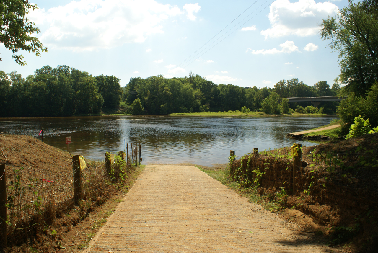
写真
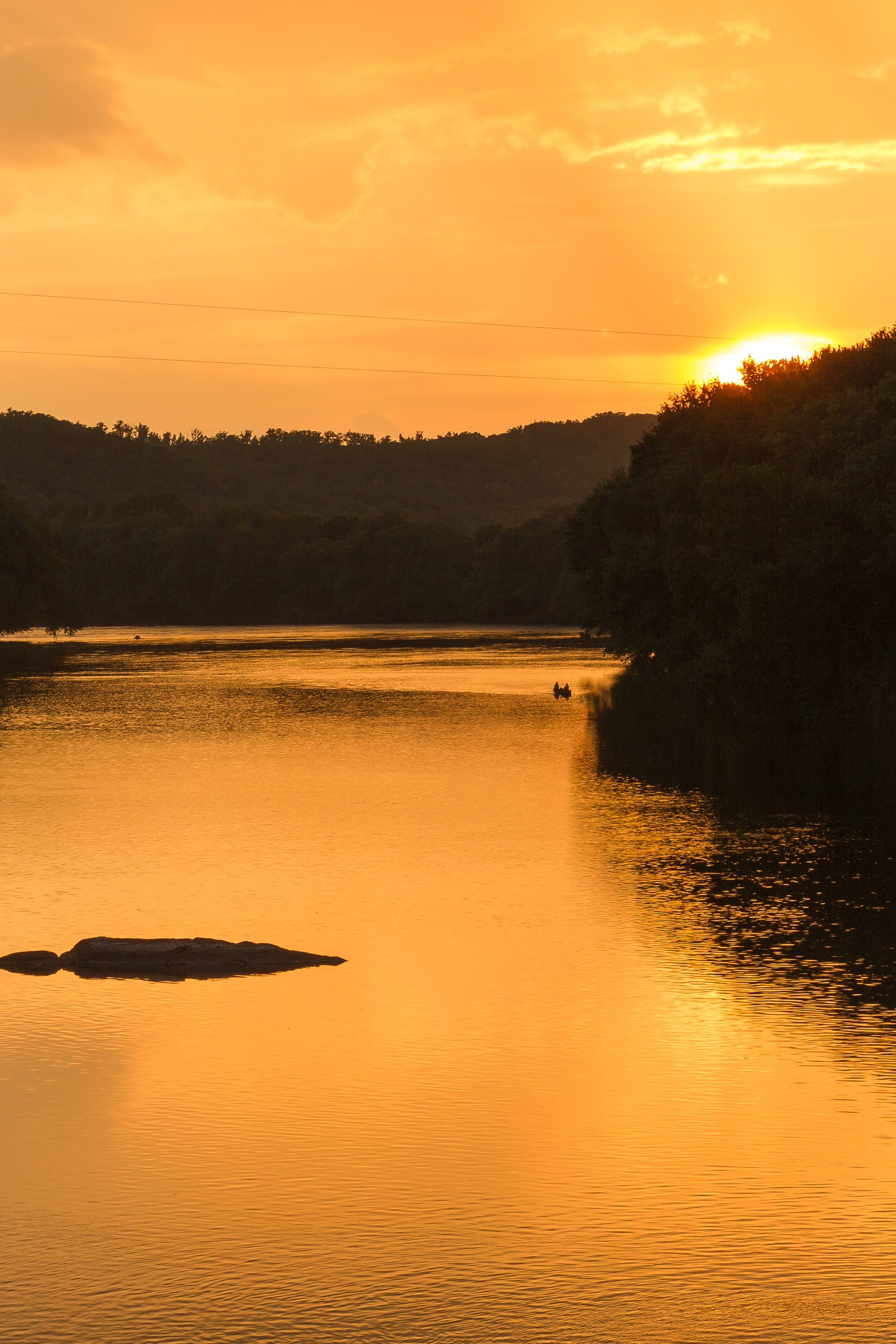
Sundown at Wingina

Sunflowers & Barn
Baber's Landing

View.
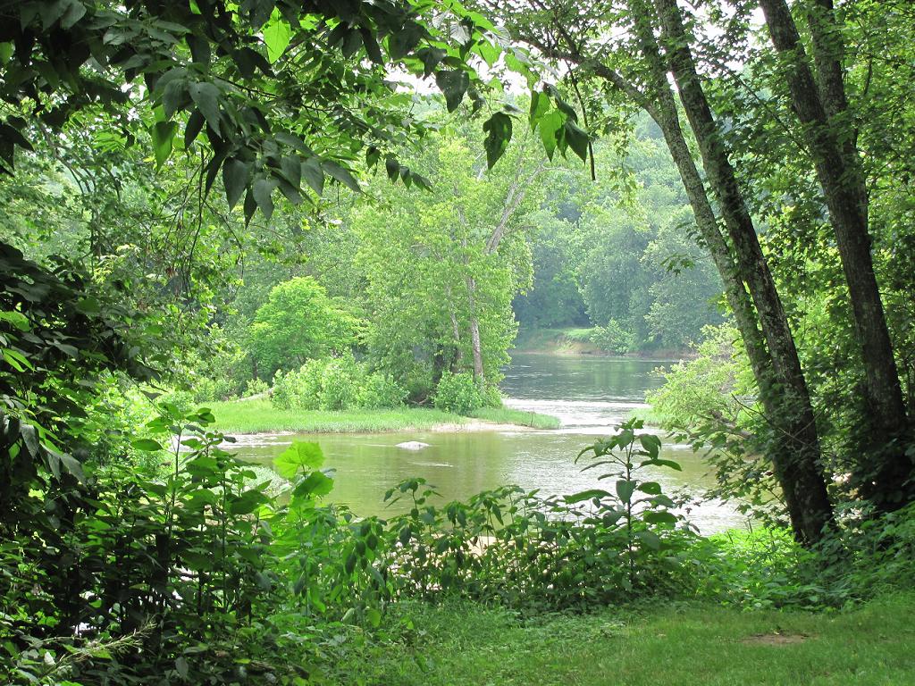
Where Ballenger Creek Meets the James River
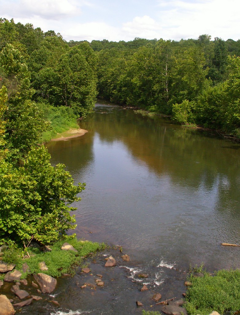
Rockfish River - Schuyler, Virginia

Calm Day on the James
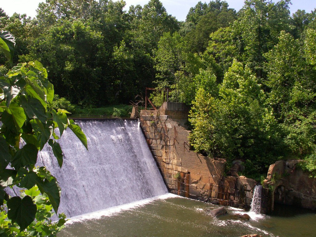
Dam - Schuyler, Virginia

Scottsville Levee

View from Farrar Bridge Road
James River Rd, Howardsville, VA アメリカ合衆国の地図
別の場所を検索
近所の場所
アメリカ合衆国 〒 バージニア州 ハワーズヴィル
Cabell Rd, Howardsville, VA アメリカ合衆国
アメリカ合衆国 〒 バージニア州 アクステル
Glade Rd, Schuyler, VA アメリカ合衆国グレイド・ロード
Firehouse Rd, Buckingham, VA アメリカ合衆国
James River Rd, Scottsville, VA, アメリカ合衆国James River Road
Rockfish Crossing, Schuyler, VA アメリカ合衆国
アメリカ合衆国 〒 バージニア州 シュイラー
アメリカ合衆国 〒 バージニア州 スコッツビル ハットン・グレンジ
White Rock Rd, Scottsville, VA アメリカ合衆国
Woodland Church Rd, Buckingham, VA アメリカ合衆国
Hatton Ferry Rd, Scottsville, VA アメリカ合衆国
Ivy Rd, Howardsville, VA アメリカ合衆国Ivy Road
Johnson Hollow, Schuyler, VA, アメリカ合衆国ジョンソン・ホロー
Sunshine Ln, Schuyler, VA アメリカ合衆国サンシャイン・レーン
Cabell Rd, Wingina, VA アメリカ合衆国
Belle Meade Ln, Scottsville, VA アメリカ合衆国
6, VA, アメリカ合衆国
アメリカ合衆国 〒 バージニア州 ウィンギーナ
Beals Ln, Scottsville, VA アメリカ合衆国
最近の検索
- San Telmo, Buenos Aires, Argentina日の出日の入り時間
- Congressional Dr, Stevensville, MD, USA日の出日の入り時間
- ギリシャ 〒 04 パピンゴ日の出日の入り時間
- Kranto 7-oji g. 8"N, Kaunas, リトアニアPagonija rock日の出日の入り時間
- Co Rd 87, Jamestown, CO, USA日の出日の入り時間
- コロンビア クンディナマルカ テンホ日の出日の入り時間
- 日本、〒- 千葉県市原市五所1966−1日の出日の入り時間
- 日本 〒-日の出日の入り時間
- Co Rd A, Truth or Consequences, NM アメリカ合衆国スペースポート・アメリカ日の出日の入り時間
- アメリカ合衆国 〒 ロード・アイランド州 ウォーウィック日の出日の入り時間