ニュージーランド 〒 南部地方 HP スキッパーズ・レンジ日の出日の入り時間
Location: ニュージーランド > 南部地方 > ニュージーランド ジェームスタウン >
時間帯:
Pacific/Auckland
現地時間:
2024-05-18 17:36:51
経度:
168.1699999
緯度:
-44.4341666
今日の日の出時刻:
08:00:25 AM
今日の日の入時刻:
05:27:07 PM
今日の日長:
9h 26m 42s
明日の日の出時刻:
08:01:27 AM
明日の日の入時刻:
05:26:10 PM
明日の日長:
9h 24m 43s
すべて表示する
| 日付 | 日出 | 日没 | 日長 |
|---|---|---|---|
| 2024年01月01日 | 06:05:59 AM | 09:34:49 PM | 15h 28m 50s |
| 2024年01月02日 | 06:06:53 AM | 09:34:52 PM | 15h 27m 59s |
| 2024年01月03日 | 06:07:48 AM | 09:34:53 PM | 15h 27m 5s |
| 2024年01月04日 | 06:08:46 AM | 09:34:51 PM | 15h 26m 5s |
| 2024年01月05日 | 06:09:45 AM | 09:34:46 PM | 15h 25m 1s |
| 2024年01月06日 | 06:10:46 AM | 09:34:39 PM | 15h 23m 53s |
| 2024年01月07日 | 06:11:49 AM | 09:34:29 PM | 15h 22m 40s |
| 2024年01月08日 | 06:12:53 AM | 09:34:16 PM | 15h 21m 23s |
| 2024年01月09日 | 06:14:00 AM | 09:34:01 PM | 15h 20m 1s |
| 2024年01月10日 | 06:15:07 AM | 09:33:43 PM | 15h 18m 36s |
| 2024年01月11日 | 06:16:17 AM | 09:33:23 PM | 15h 17m 6s |
| 2024年01月12日 | 06:17:27 AM | 09:33:00 PM | 15h 15m 33s |
| 2024年01月13日 | 06:18:39 AM | 09:32:35 PM | 15h 13m 56s |
| 2024年01月14日 | 06:19:53 AM | 09:32:07 PM | 15h 12m 14s |
| 2024年01月15日 | 06:21:07 AM | 09:31:36 PM | 15h 10m 29s |
| 2024年01月16日 | 06:22:23 AM | 09:31:03 PM | 15h 8m 40s |
| 2024年01月17日 | 06:23:39 AM | 09:30:28 PM | 15h 6m 49s |
| 2024年01月18日 | 06:24:57 AM | 09:29:50 PM | 15h 4m 53s |
| 2024年01月19日 | 06:26:16 AM | 09:29:10 PM | 15h 2m 54s |
| 2024年01月20日 | 06:27:35 AM | 09:28:27 PM | 15h 0m 52s |
| 2024年01月21日 | 06:28:56 AM | 09:27:43 PM | 14h 58m 47s |
| 2024年01月22日 | 06:30:17 AM | 09:26:56 PM | 14h 56m 39s |
| 2024年01月23日 | 06:31:39 AM | 09:26:06 PM | 14h 54m 27s |
| 2024年01月24日 | 06:33:02 AM | 09:25:15 PM | 14h 52m 13s |
| 2024年01月25日 | 06:34:25 AM | 09:24:21 PM | 14h 49m 56s |
| 2024年01月26日 | 06:35:48 AM | 09:23:25 PM | 14h 47m 37s |
| 2024年01月27日 | 06:37:12 AM | 09:22:28 PM | 14h 45m 16s |
| 2024年01月28日 | 06:38:37 AM | 09:21:28 PM | 14h 42m 51s |
| 2024年01月29日 | 06:40:02 AM | 09:20:26 PM | 14h 40m 24s |
| 2024年01月30日 | 06:41:27 AM | 09:19:22 PM | 14h 37m 55s |
| 2024年01月31日 | 06:42:53 AM | 09:18:16 PM | 14h 35m 23s |
| 2024年02月01日 | 06:44:19 AM | 09:17:09 PM | 14h 32m 50s |
| 2024年02月02日 | 06:45:45 AM | 09:15:59 PM | 14h 30m 14s |
| 2024年02月03日 | 06:47:11 AM | 09:14:48 PM | 14h 27m 37s |
| 2024年02月04日 | 06:48:37 AM | 09:13:35 PM | 14h 24m 58s |
| 2024年02月05日 | 06:50:04 AM | 09:12:21 PM | 14h 22m 17s |
| 2024年02月06日 | 06:51:30 AM | 09:11:04 PM | 14h 19m 34s |
| 2024年02月07日 | 06:52:56 AM | 09:09:46 PM | 14h 16m 50s |
| 2024年02月08日 | 06:54:23 AM | 09:08:27 PM | 14h 14m 4s |
| 2024年02月09日 | 06:55:49 AM | 09:07:06 PM | 14h 11m 17s |
| 2024年02月10日 | 06:57:15 AM | 09:05:43 PM | 14h 8m 28s |
| 2024年02月11日 | 06:58:41 AM | 09:04:20 PM | 14h 5m 39s |
| 2024年02月12日 | 07:00:07 AM | 09:02:54 PM | 14h 2m 47s |
| 2024年02月13日 | 07:01:33 AM | 09:01:28 PM | 13h 59m 55s |
| 2024年02月14日 | 07:02:58 AM | 09:00:00 PM | 13h 57m 2s |
| 2024年02月15日 | 07:04:24 AM | 08:58:30 PM | 13h 54m 6s |
| 2024年02月16日 | 07:05:49 AM | 08:57:00 PM | 13h 51m 11s |
| 2024年02月17日 | 07:07:14 AM | 08:55:28 PM | 13h 48m 14s |
| 2024年02月18日 | 07:08:38 AM | 08:53:55 PM | 13h 45m 17s |
| 2024年02月19日 | 07:10:03 AM | 08:52:21 PM | 13h 42m 18s |
| 2024年02月20日 | 07:11:27 AM | 08:50:46 PM | 13h 39m 19s |
| 2024年02月21日 | 07:12:51 AM | 08:49:10 PM | 13h 36m 19s |
| 2024年02月22日 | 07:14:14 AM | 08:47:33 PM | 13h 33m 19s |
| 2024年02月23日 | 07:15:37 AM | 08:45:55 PM | 13h 30m 18s |
| 2024年02月24日 | 07:17:00 AM | 08:44:16 PM | 13h 27m 16s |
| 2024年02月25日 | 07:18:23 AM | 08:42:36 PM | 13h 24m 13s |
| 2024年02月26日 | 07:19:45 AM | 08:40:55 PM | 13h 21m 10s |
| 2024年02月27日 | 07:21:07 AM | 08:39:14 PM | 13h 18m 7s |
| 2024年02月28日 | 07:22:28 AM | 08:37:31 PM | 13h 15m 3s |
| 2024年02月29日 | 07:23:50 AM | 08:35:48 PM | 13h 11m 58s |
| 2024年03月01日 | 07:25:10 AM | 08:34:05 PM | 13h 8m 55s |
| 2024年03月02日 | 07:26:31 AM | 08:32:20 PM | 13h 5m 49s |
| 2024年03月03日 | 07:27:51 AM | 08:30:35 PM | 13h 2m 44s |
| 2024年03月04日 | 07:29:11 AM | 08:28:50 PM | 12h 59m 39s |
| 2024年03月05日 | 07:30:30 AM | 08:27:03 PM | 12h 56m 33s |
| 2024年03月06日 | 07:31:50 AM | 08:25:17 PM | 12h 53m 27s |
| 2024年03月07日 | 07:33:09 AM | 08:23:29 PM | 12h 50m 20s |
| 2024年03月08日 | 07:34:27 AM | 08:21:42 PM | 12h 47m 15s |
| 2024年03月09日 | 07:35:45 AM | 08:19:53 PM | 12h 44m 8s |
| 2024年03月10日 | 07:37:03 AM | 08:18:05 PM | 12h 41m 2s |
| 2024年03月11日 | 07:38:21 AM | 08:16:16 PM | 12h 37m 55s |
| 2024年03月12日 | 07:39:38 AM | 08:14:27 PM | 12h 34m 49s |
| 2024年03月13日 | 07:40:56 AM | 08:12:37 PM | 12h 31m 41s |
| 2024年03月14日 | 07:42:12 AM | 08:10:47 PM | 12h 28m 35s |
| 2024年03月15日 | 07:43:29 AM | 08:08:57 PM | 12h 25m 28s |
| 2024年03月16日 | 07:44:45 AM | 08:07:07 PM | 12h 22m 22s |
| 2024年03月17日 | 07:46:01 AM | 08:05:17 PM | 12h 19m 16s |
| 2024年03月18日 | 07:47:17 AM | 08:03:26 PM | 12h 16m 9s |
| 2024年03月19日 | 07:48:33 AM | 08:01:35 PM | 12h 13m 2s |
| 2024年03月20日 | 07:49:48 AM | 07:59:45 PM | 12h 9m 57s |
| 2024年03月21日 | 07:51:04 AM | 07:57:54 PM | 12h 6m 50s |
| 2024年03月22日 | 07:52:19 AM | 07:56:03 PM | 12h 3m 44s |
| 2024年03月23日 | 07:53:33 AM | 07:54:12 PM | 12h 0m 39s |
| 2024年03月24日 | 07:54:48 AM | 07:52:22 PM | 11h 57m 34s |
| 2024年03月25日 | 07:56:03 AM | 07:50:31 PM | 11h 54m 28s |
| 2024年03月26日 | 07:57:17 AM | 07:48:40 PM | 11h 51m 23s |
| 2024年03月27日 | 07:58:31 AM | 07:46:50 PM | 11h 48m 19s |
| 2024年03月28日 | 07:59:45 AM | 07:45:00 PM | 11h 45m 15s |
| 2024年03月29日 | 08:00:59 AM | 07:43:09 PM | 11h 42m 10s |
| 2024年03月30日 | 08:02:13 AM | 07:41:20 PM | 11h 39m 7s |
| 2024年03月31日 | 08:03:27 AM | 07:39:30 PM | 11h 36m 3s |
| 2024年04月01日 | 08:04:40 AM | 07:37:41 PM | 11h 33m 1s |
| 2024年04月02日 | 08:05:54 AM | 07:35:52 PM | 11h 29m 58s |
| 2024年04月03日 | 08:07:07 AM | 07:34:03 PM | 11h 26m 56s |
| 2024年04月04日 | 08:08:21 AM | 07:32:15 PM | 11h 23m 54s |
| 2024年04月05日 | 08:09:34 AM | 07:30:27 PM | 11h 20m 53s |
| 2024年04月06日 | 08:10:47 AM | 07:28:40 PM | 11h 17m 53s |
| 2024年04月07日 | 07:12:03 AM | 06:26:48 PM | 11h 14m 45s |
| 2024年04月07日 | 07:12:03 AM | 06:26:48 PM | 11h 14m 45s |
| 2024年04月08日 | 07:13:17 AM | 06:25:02 PM | 11h 11m 45s |
| 2024年04月09日 | 07:14:30 AM | 06:23:16 PM | 11h 8m 46s |
| 2024年04月10日 | 07:15:43 AM | 06:21:31 PM | 11h 5m 48s |
| 2024年04月11日 | 07:16:56 AM | 06:19:46 PM | 11h 2m 50s |
| 2024年04月12日 | 07:18:08 AM | 06:18:02 PM | 10h 59m 54s |
| 2024年04月13日 | 07:19:21 AM | 06:16:19 PM | 10h 56m 58s |
| 2024年04月14日 | 07:20:34 AM | 06:14:36 PM | 10h 54m 2s |
| 2024年04月15日 | 07:21:47 AM | 06:12:54 PM | 10h 51m 7s |
| 2024年04月16日 | 07:23:00 AM | 06:11:13 PM | 10h 48m 13s |
| 2024年04月17日 | 07:24:12 AM | 06:09:33 PM | 10h 45m 21s |
| 2024年04月18日 | 07:25:25 AM | 06:07:53 PM | 10h 42m 28s |
| 2024年04月19日 | 07:26:37 AM | 06:06:14 PM | 10h 39m 37s |
| 2024年04月20日 | 07:27:50 AM | 06:04:37 PM | 10h 36m 47s |
| 2024年04月21日 | 07:29:02 AM | 06:03:00 PM | 10h 33m 58s |
| 2024年04月22日 | 07:30:15 AM | 06:01:24 PM | 10h 31m 9s |
| 2024年04月23日 | 07:31:27 AM | 05:59:49 PM | 10h 28m 22s |
| 2024年04月24日 | 07:32:39 AM | 05:58:15 PM | 10h 25m 36s |
| 2024年04月25日 | 07:33:51 AM | 05:56:42 PM | 10h 22m 51s |
| 2024年04月26日 | 07:35:03 AM | 05:55:10 PM | 10h 20m 7s |
| 2024年04月27日 | 07:36:15 AM | 05:53:40 PM | 10h 17m 25s |
| 2024年04月28日 | 07:37:26 AM | 05:52:10 PM | 10h 14m 44s |
| 2024年04月29日 | 07:38:38 AM | 05:50:42 PM | 10h 12m 4s |
| 2024年04月30日 | 07:39:49 AM | 05:49:15 PM | 10h 9m 26s |
| 2024年05月01日 | 07:41:00 AM | 05:47:49 PM | 10h 6m 49s |
| 2024年05月02日 | 07:42:11 AM | 05:46:25 PM | 10h 4m 14s |
| 2024年05月03日 | 07:43:22 AM | 05:45:02 PM | 10h 1m 40s |
| 2024年05月04日 | 07:44:32 AM | 05:43:40 PM | 9h 59m 8s |
| 2024年05月05日 | 07:45:42 AM | 05:42:19 PM | 9h 56m 37s |
| 2024年05月06日 | 07:46:52 AM | 05:41:01 PM | 9h 54m 9s |
| 2024年05月07日 | 07:48:01 AM | 05:39:43 PM | 9h 51m 42s |
| 2024年05月08日 | 07:49:10 AM | 05:38:27 PM | 9h 49m 17s |
| 2024年05月09日 | 07:50:19 AM | 05:37:13 PM | 9h 46m 54s |
| 2024年05月10日 | 07:51:27 AM | 05:36:00 PM | 9h 44m 33s |
| 2024年05月11日 | 07:52:35 AM | 05:34:48 PM | 9h 42m 13s |
| 2024年05月12日 | 07:53:43 AM | 05:33:39 PM | 9h 39m 56s |
| 2024年05月13日 | 07:54:49 AM | 05:32:31 PM | 9h 37m 42s |
| 2024年05月14日 | 07:55:56 AM | 05:31:25 PM | 9h 35m 29s |
| 2024年05月15日 | 07:57:01 AM | 05:30:20 PM | 9h 33m 19s |
| 2024年05月16日 | 07:58:06 AM | 05:29:17 PM | 9h 31m 11s |
| 2024年05月17日 | 07:59:11 AM | 05:28:16 PM | 9h 29m 5s |
| 2024年05月18日 | 08:00:14 AM | 05:27:17 PM | 9h 27m 3s |
| 2024年05月19日 | 08:01:17 AM | 05:26:20 PM | 9h 25m 3s |
| 2024年05月20日 | 08:02:19 AM | 05:25:24 PM | 9h 23m 5s |
| 2024年05月21日 | 08:03:20 AM | 05:24:31 PM | 9h 21m 11s |
| 2024年05月22日 | 08:04:21 AM | 05:23:39 PM | 9h 19m 18s |
| 2024年05月23日 | 08:05:20 AM | 05:22:49 PM | 9h 17m 29s |
| 2024年05月24日 | 08:06:19 AM | 05:22:02 PM | 9h 15m 43s |
| 2024年05月25日 | 08:07:16 AM | 05:21:16 PM | 9h 14m 0s |
| 2024年05月26日 | 08:08:13 AM | 05:20:32 PM | 9h 12m 19s |
| 2024年05月27日 | 08:09:08 AM | 05:19:51 PM | 9h 10m 43s |
| 2024年05月28日 | 08:10:02 AM | 05:19:11 PM | 9h 9m 9s |
| 2024年05月29日 | 08:10:55 AM | 05:18:34 PM | 9h 7m 39s |
| 2024年05月30日 | 08:11:47 AM | 05:17:59 PM | 9h 6m 12s |
| 2024年05月31日 | 08:12:38 AM | 05:17:25 PM | 9h 4m 47s |
| 2024年06月01日 | 08:13:27 AM | 05:16:54 PM | 9h 3m 27s |
| 2024年06月02日 | 08:14:15 AM | 05:16:25 PM | 9h 2m 10s |
| 2024年06月03日 | 08:15:01 AM | 05:15:59 PM | 9h 0m 58s |
| 2024年06月04日 | 08:15:46 AM | 05:15:34 PM | 8h 59m 48s |
| 2024年06月05日 | 08:16:29 AM | 05:15:12 PM | 8h 58m 43s |
| 2024年06月06日 | 08:17:11 AM | 05:14:52 PM | 8h 57m 41s |
| 2024年06月07日 | 08:17:52 AM | 05:14:34 PM | 8h 56m 42s |
| 2024年06月08日 | 08:18:30 AM | 05:14:18 PM | 8h 55m 48s |
| 2024年06月09日 | 08:19:07 AM | 05:14:05 PM | 8h 54m 58s |
| 2024年06月10日 | 08:19:42 AM | 05:13:53 PM | 8h 54m 11s |
| 2024年06月11日 | 08:20:16 AM | 05:13:44 PM | 8h 53m 28s |
| 2024年06月12日 | 08:20:47 AM | 05:13:37 PM | 8h 52m 50s |
| 2024年06月13日 | 08:21:17 AM | 05:13:32 PM | 8h 52m 15s |
| 2024年06月14日 | 08:21:45 AM | 05:13:30 PM | 8h 51m 45s |
| 2024年06月15日 | 08:22:11 AM | 05:13:30 PM | 8h 51m 19s |
| 2024年06月16日 | 08:22:35 AM | 05:13:31 PM | 8h 50m 56s |
| 2024年06月17日 | 08:22:57 AM | 05:13:35 PM | 8h 50m 38s |
| 2024年06月18日 | 08:23:17 AM | 05:13:41 PM | 8h 50m 24s |
| 2024年06月19日 | 08:23:35 AM | 05:13:50 PM | 8h 50m 15s |
| 2024年06月20日 | 08:23:51 AM | 05:14:00 PM | 8h 50m 9s |
| 2024年06月21日 | 08:24:04 AM | 05:14:12 PM | 8h 50m 8s |
| 2024年06月22日 | 08:24:16 AM | 05:14:27 PM | 8h 50m 11s |
| 2024年06月23日 | 08:24:25 AM | 05:14:43 PM | 8h 50m 18s |
| 2024年06月24日 | 08:24:33 AM | 05:15:02 PM | 8h 50m 29s |
| 2024年06月25日 | 08:24:38 AM | 05:15:22 PM | 8h 50m 44s |
| 2024年06月26日 | 08:24:41 AM | 05:15:45 PM | 8h 51m 4s |
| 2024年06月27日 | 08:24:42 AM | 05:16:09 PM | 8h 51m 27s |
| 2024年06月28日 | 08:24:40 AM | 05:16:35 PM | 8h 51m 55s |
| 2024年06月29日 | 08:24:36 AM | 05:17:03 PM | 8h 52m 27s |
| 2024年06月30日 | 08:24:31 AM | 05:17:33 PM | 8h 53m 2s |
| 2024年07月01日 | 08:24:22 AM | 05:18:04 PM | 8h 53m 42s |
| 2024年07月02日 | 08:24:12 AM | 05:18:37 PM | 8h 54m 25s |
| 2024年07月03日 | 08:23:59 AM | 05:19:12 PM | 8h 55m 13s |
| 2024年07月04日 | 08:23:44 AM | 05:19:49 PM | 8h 56m 5s |
| 2024年07月05日 | 08:23:27 AM | 05:20:27 PM | 8h 57m 0s |
| 2024年07月06日 | 08:23:08 AM | 05:21:07 PM | 8h 57m 59s |
| 2024年07月07日 | 08:22:46 AM | 05:21:48 PM | 8h 59m 2s |
| 2024年07月08日 | 08:22:22 AM | 05:22:31 PM | 9h 0m 9s |
| 2024年07月09日 | 08:21:56 AM | 05:23:15 PM | 9h 1m 19s |
| 2024年07月10日 | 08:21:28 AM | 05:24:00 PM | 9h 2m 32s |
| 2024年07月11日 | 08:20:57 AM | 05:24:47 PM | 9h 3m 50s |
| 2024年07月12日 | 08:20:24 AM | 05:25:35 PM | 9h 5m 11s |
| 2024年07月13日 | 08:19:49 AM | 05:26:24 PM | 9h 6m 35s |
| 2024年07月14日 | 08:19:12 AM | 05:27:15 PM | 9h 8m 3s |
| 2024年07月15日 | 08:18:33 AM | 05:28:06 PM | 9h 9m 33s |
| 2024年07月16日 | 08:17:52 AM | 05:28:59 PM | 9h 11m 7s |
| 2024年07月17日 | 08:17:09 AM | 05:29:53 PM | 9h 12m 44s |
| 2024年07月18日 | 08:16:23 AM | 05:30:47 PM | 9h 14m 24s |
| 2024年07月19日 | 08:15:36 AM | 05:31:43 PM | 9h 16m 7s |
| 2024年07月20日 | 08:14:46 AM | 05:32:40 PM | 9h 17m 54s |
| 2024年07月21日 | 08:13:55 AM | 05:33:37 PM | 9h 19m 42s |
| 2024年07月22日 | 08:13:01 AM | 05:34:36 PM | 9h 21m 35s |
| 2024年07月23日 | 08:12:06 AM | 05:35:35 PM | 9h 23m 29s |
| 2024年07月24日 | 08:11:09 AM | 05:36:35 PM | 9h 25m 26s |
| 2024年07月25日 | 08:10:09 AM | 05:37:35 PM | 9h 27m 26s |
| 2024年07月26日 | 08:09:08 AM | 05:38:36 PM | 9h 29m 28s |
| 2024年07月27日 | 08:08:05 AM | 05:39:38 PM | 9h 31m 33s |
| 2024年07月28日 | 08:07:01 AM | 05:40:41 PM | 9h 33m 40s |
| 2024年07月29日 | 08:05:54 AM | 05:41:44 PM | 9h 35m 50s |
| 2024年07月30日 | 08:04:46 AM | 05:42:47 PM | 9h 38m 1s |
| 2024年07月31日 | 08:03:36 AM | 05:43:51 PM | 9h 40m 15s |
| 2024年08月01日 | 08:02:25 AM | 05:44:55 PM | 9h 42m 30s |
| 2024年08月02日 | 08:01:12 AM | 05:46:00 PM | 9h 44m 48s |
| 2024年08月03日 | 07:59:57 AM | 05:47:05 PM | 9h 47m 8s |
| 2024年08月04日 | 07:58:41 AM | 05:48:11 PM | 9h 49m 30s |
| 2024年08月05日 | 07:57:23 AM | 05:49:17 PM | 9h 51m 54s |
| 2024年08月06日 | 07:56:04 AM | 05:50:23 PM | 9h 54m 19s |
| 2024年08月07日 | 07:54:43 AM | 05:51:30 PM | 9h 56m 47s |
| 2024年08月08日 | 07:53:21 AM | 05:52:36 PM | 9h 59m 15s |
| 2024年08月09日 | 07:51:57 AM | 05:53:43 PM | 10h 1m 46s |
| 2024年08月10日 | 07:50:32 AM | 05:54:50 PM | 10h 4m 18s |
| 2024年08月11日 | 07:49:06 AM | 05:55:58 PM | 10h 6m 52s |
| 2024年08月12日 | 07:47:38 AM | 05:57:05 PM | 10h 9m 27s |
| 2024年08月13日 | 07:46:10 AM | 05:58:13 PM | 10h 12m 3s |
| 2024年08月14日 | 07:44:40 AM | 05:59:20 PM | 10h 14m 40s |
| 2024年08月15日 | 07:43:08 AM | 06:00:28 PM | 10h 17m 20s |
| 2024年08月16日 | 07:41:36 AM | 06:01:36 PM | 10h 20m 0s |
| 2024年08月17日 | 07:40:02 AM | 06:02:44 PM | 10h 22m 42s |
| 2024年08月18日 | 07:38:28 AM | 06:03:52 PM | 10h 25m 24s |
| 2024年08月19日 | 07:36:52 AM | 06:05:01 PM | 10h 28m 9s |
| 2024年08月20日 | 07:35:16 AM | 06:06:09 PM | 10h 30m 53s |
| 2024年08月21日 | 07:33:38 AM | 06:07:17 PM | 10h 33m 39s |
| 2024年08月22日 | 07:31:59 AM | 06:08:25 PM | 10h 36m 26s |
| 2024年08月23日 | 07:30:20 AM | 06:09:34 PM | 10h 39m 14s |
| 2024年08月24日 | 07:28:39 AM | 06:10:42 PM | 10h 42m 3s |
| 2024年08月25日 | 07:26:58 AM | 06:11:50 PM | 10h 44m 52s |
| 2024年08月26日 | 07:25:16 AM | 06:12:59 PM | 10h 47m 43s |
| 2024年08月27日 | 07:23:33 AM | 06:14:07 PM | 10h 50m 34s |
| 2024年08月28日 | 07:21:49 AM | 06:15:16 PM | 10h 53m 27s |
| 2024年08月29日 | 07:20:05 AM | 06:16:24 PM | 10h 56m 19s |
| 2024年08月30日 | 07:18:20 AM | 06:17:33 PM | 10h 59m 13s |
| 2024年08月31日 | 07:16:34 AM | 06:18:41 PM | 11h 2m 7s |
| 2024年09月01日 | 07:14:48 AM | 06:19:50 PM | 11h 5m 2s |
| 2024年09月02日 | 07:13:01 AM | 06:20:58 PM | 11h 7m 57s |
| 2024年09月03日 | 07:11:13 AM | 06:22:07 PM | 11h 10m 54s |
| 2024年09月04日 | 07:09:25 AM | 06:23:15 PM | 11h 13m 50s |
| 2024年09月05日 | 07:07:36 AM | 06:24:24 PM | 11h 16m 48s |
| 2024年09月06日 | 07:05:47 AM | 06:25:32 PM | 11h 19m 45s |
| 2024年09月07日 | 07:03:57 AM | 06:26:41 PM | 11h 22m 44s |
| 2024年09月08日 | 07:02:08 AM | 06:27:50 PM | 11h 25m 42s |
| 2024年09月09日 | 07:00:17 AM | 06:28:58 PM | 11h 28m 41s |
| 2024年09月10日 | 06:58:26 AM | 06:30:07 PM | 11h 31m 41s |
| 2024年09月11日 | 06:56:35 AM | 06:31:16 PM | 11h 34m 41s |
| 2024年09月12日 | 06:54:44 AM | 06:32:25 PM | 11h 37m 41s |
| 2024年09月13日 | 06:52:52 AM | 06:33:34 PM | 11h 40m 42s |
| 2024年09月14日 | 06:51:00 AM | 06:34:43 PM | 11h 43m 43s |
| 2024年09月15日 | 06:49:08 AM | 06:35:53 PM | 11h 46m 45s |
| 2024年09月16日 | 06:47:16 AM | 06:37:02 PM | 11h 49m 46s |
| 2024年09月17日 | 06:45:24 AM | 06:38:12 PM | 11h 52m 48s |
| 2024年09月18日 | 06:43:31 AM | 06:39:21 PM | 11h 55m 50s |
| 2024年09月19日 | 06:41:38 AM | 06:40:31 PM | 11h 58m 53s |
| 2024年09月20日 | 06:39:46 AM | 06:41:41 PM | 12h 1m 55s |
| 2024年09月21日 | 06:37:53 AM | 06:42:51 PM | 12h 4m 58s |
| 2024年09月22日 | 06:36:00 AM | 06:44:02 PM | 12h 8m 2s |
| 2024年09月23日 | 06:34:07 AM | 06:45:12 PM | 12h 11m 5s |
| 2024年09月24日 | 06:32:15 AM | 06:46:23 PM | 12h 14m 8s |
| 2024年09月25日 | 06:30:22 AM | 06:47:34 PM | 12h 17m 12s |
| 2024年09月26日 | 06:28:30 AM | 06:48:45 PM | 12h 20m 15s |
| 2024年09月27日 | 06:26:38 AM | 06:49:56 PM | 12h 23m 18s |
| 2024年09月28日 | 06:24:45 AM | 06:51:08 PM | 12h 26m 23s |
| 2024年09月30日 | 07:21:06 AM | 07:53:29 PM | 12h 32m 23s |
| 2024年10月01日 | 07:19:15 AM | 07:54:41 PM | 12h 35m 26s |
| 2024年10月02日 | 07:17:24 AM | 07:55:54 PM | 12h 38m 30s |
| 2024年10月03日 | 07:15:33 AM | 07:57:07 PM | 12h 41m 34s |
| 2024年10月04日 | 07:13:43 AM | 07:58:20 PM | 12h 44m 37s |
| 2024年10月05日 | 07:11:53 AM | 07:59:34 PM | 12h 47m 41s |
| 2024年10月06日 | 07:10:03 AM | 08:00:48 PM | 12h 50m 45s |
| 2024年10月07日 | 07:08:14 AM | 08:02:02 PM | 12h 53m 48s |
| 2024年10月08日 | 07:06:26 AM | 08:03:17 PM | 12h 56m 51s |
| 2024年10月09日 | 07:04:37 AM | 08:04:32 PM | 12h 59m 55s |
| 2024年10月10日 | 07:02:50 AM | 08:05:47 PM | 13h 2m 57s |
| 2024年10月11日 | 07:01:03 AM | 08:07:03 PM | 13h 6m 0s |
| 2024年10月12日 | 06:59:17 AM | 08:08:19 PM | 13h 9m 2s |
| 2024年10月13日 | 06:57:31 AM | 08:09:35 PM | 13h 12m 4s |
| 2024年10月14日 | 06:55:46 AM | 08:10:52 PM | 13h 15m 6s |
| 2024年10月15日 | 06:54:02 AM | 08:12:09 PM | 13h 18m 7s |
| 2024年10月16日 | 06:52:18 AM | 08:13:26 PM | 13h 21m 8s |
| 2024年10月17日 | 06:50:36 AM | 08:14:44 PM | 13h 24m 8s |
| 2024年10月18日 | 06:48:54 AM | 08:16:02 PM | 13h 27m 8s |
| 2024年10月19日 | 06:47:13 AM | 08:17:20 PM | 13h 30m 7s |
| 2024年10月20日 | 06:45:33 AM | 08:18:39 PM | 13h 33m 6s |
| 2024年10月21日 | 06:43:54 AM | 08:19:58 PM | 13h 36m 4s |
| 2024年10月22日 | 06:42:16 AM | 08:21:18 PM | 13h 39m 2s |
| 2024年10月23日 | 06:40:39 AM | 08:22:38 PM | 13h 41m 59s |
| 2024年10月24日 | 06:39:03 AM | 08:23:58 PM | 13h 44m 55s |
| 2024年10月25日 | 06:37:28 AM | 08:25:18 PM | 13h 47m 50s |
| 2024年10月26日 | 06:35:54 AM | 08:26:39 PM | 13h 50m 45s |
| 2024年10月27日 | 06:34:22 AM | 08:28:00 PM | 13h 53m 38s |
| 2024年10月28日 | 06:32:51 AM | 08:29:21 PM | 13h 56m 30s |
| 2024年10月29日 | 06:31:21 AM | 08:30:43 PM | 13h 59m 22s |
| 2024年10月30日 | 06:29:52 AM | 08:32:05 PM | 14h 2m 13s |
| 2024年10月31日 | 06:28:24 AM | 08:33:27 PM | 14h 5m 3s |
| 2024年11月01日 | 06:26:58 AM | 08:34:49 PM | 14h 7m 51s |
| 2024年11月02日 | 06:25:34 AM | 08:36:11 PM | 14h 10m 37s |
| 2024年11月03日 | 06:24:11 AM | 08:37:34 PM | 14h 13m 23s |
| 2024年11月04日 | 06:22:49 AM | 08:38:56 PM | 14h 16m 7s |
| 2024年11月05日 | 06:21:29 AM | 08:40:19 PM | 14h 18m 50s |
| 2024年11月06日 | 06:20:10 AM | 08:41:42 PM | 14h 21m 32s |
| 2024年11月07日 | 06:18:54 AM | 08:43:05 PM | 14h 24m 11s |
| 2024年11月08日 | 06:17:38 AM | 08:44:28 PM | 14h 26m 50s |
| 2024年11月09日 | 06:16:25 AM | 08:45:51 PM | 14h 29m 26s |
| 2024年11月10日 | 06:15:13 AM | 08:47:13 PM | 14h 32m 0s |
| 2024年11月11日 | 06:14:03 AM | 08:48:36 PM | 14h 34m 33s |
| 2024年11月12日 | 06:12:55 AM | 08:49:59 PM | 14h 37m 4s |
| 2024年11月13日 | 06:11:49 AM | 08:51:21 PM | 14h 39m 32s |
| 2024年11月14日 | 06:10:45 AM | 08:52:43 PM | 14h 41m 58s |
| 2024年11月15日 | 06:09:43 AM | 08:54:05 PM | 14h 44m 22s |
| 2024年11月16日 | 06:08:43 AM | 08:55:26 PM | 14h 46m 43s |
| 2024年11月17日 | 06:07:44 AM | 08:56:47 PM | 14h 49m 3s |
| 2024年11月18日 | 06:06:48 AM | 08:58:08 PM | 14h 51m 20s |
| 2024年11月19日 | 06:05:55 AM | 08:59:28 PM | 14h 53m 33s |
| 2024年11月20日 | 06:05:03 AM | 09:00:48 PM | 14h 55m 45s |
| 2024年11月21日 | 06:04:13 AM | 09:02:07 PM | 14h 57m 54s |
| 2024年11月22日 | 06:03:26 AM | 09:03:25 PM | 14h 59m 59s |
| 2024年11月23日 | 06:02:41 AM | 09:04:43 PM | 15h 2m 2s |
| 2024年11月24日 | 06:01:59 AM | 09:05:59 PM | 15h 4m 0s |
| 2024年11月25日 | 06:01:18 AM | 09:07:15 PM | 15h 5m 57s |
| 2024年11月26日 | 06:00:41 AM | 09:08:30 PM | 15h 7m 49s |
| 2024年11月27日 | 06:00:05 AM | 09:09:45 PM | 15h 9m 40s |
| 2024年11月28日 | 05:59:32 AM | 09:10:58 PM | 15h 11m 26s |
| 2024年11月29日 | 05:59:02 AM | 09:12:10 PM | 15h 13m 8s |
| 2024年11月30日 | 05:58:34 AM | 09:13:21 PM | 15h 14m 47s |
| 2024年12月01日 | 05:58:09 AM | 09:14:30 PM | 15h 16m 21s |
| 2024年12月02日 | 05:57:46 AM | 09:15:39 PM | 15h 17m 53s |
| 2024年12月03日 | 05:57:26 AM | 09:16:45 PM | 15h 19m 19s |
| 2024年12月04日 | 05:57:08 AM | 09:17:51 PM | 15h 20m 43s |
| 2024年12月05日 | 05:56:53 AM | 09:18:55 PM | 15h 22m 2s |
| 2024年12月06日 | 05:56:41 AM | 09:19:58 PM | 15h 23m 17s |
| 2024年12月07日 | 05:56:32 AM | 09:20:58 PM | 15h 24m 26s |
| 2024年12月08日 | 05:56:25 AM | 09:21:58 PM | 15h 25m 33s |
| 2024年12月09日 | 05:56:20 AM | 09:22:55 PM | 15h 26m 35s |
| 2024年12月10日 | 05:56:19 AM | 09:23:51 PM | 15h 27m 32s |
| 2024年12月11日 | 05:56:20 AM | 09:24:44 PM | 15h 28m 24s |
| 2024年12月12日 | 05:56:24 AM | 09:25:36 PM | 15h 29m 12s |
| 2024年12月13日 | 05:56:31 AM | 09:26:26 PM | 15h 29m 55s |
| 2024年12月14日 | 05:56:40 AM | 09:27:14 PM | 15h 30m 34s |
| 2024年12月15日 | 05:56:52 AM | 09:27:59 PM | 15h 31m 7s |
| 2024年12月16日 | 05:57:06 AM | 09:28:43 PM | 15h 31m 37s |
| 2024年12月17日 | 05:57:23 AM | 09:29:24 PM | 15h 32m 1s |
| 2024年12月18日 | 05:57:43 AM | 09:30:03 PM | 15h 32m 20s |
| 2024年12月19日 | 05:58:06 AM | 09:30:40 PM | 15h 32m 34s |
| 2024年12月20日 | 05:58:31 AM | 09:31:14 PM | 15h 32m 43s |
| 2024年12月21日 | 05:58:58 AM | 09:31:46 PM | 15h 32m 48s |
| 2024年12月22日 | 05:59:28 AM | 09:32:16 PM | 15h 32m 48s |
| 2024年12月23日 | 06:00:01 AM | 09:32:43 PM | 15h 32m 42s |
| 2024年12月24日 | 06:00:36 AM | 09:33:07 PM | 15h 32m 31s |
| 2024年12月25日 | 06:01:13 AM | 09:33:29 PM | 15h 32m 16s |
| 2024年12月26日 | 06:01:53 AM | 09:33:49 PM | 15h 31m 56s |
| 2024年12月27日 | 06:02:35 AM | 09:34:06 PM | 15h 31m 31s |
| 2024年12月28日 | 06:03:20 AM | 09:34:20 PM | 15h 31m 0s |
| 2024年12月29日 | 06:04:06 AM | 09:34:32 PM | 15h 30m 26s |
| 2024年12月30日 | 06:04:55 AM | 09:34:41 PM | 15h 29m 46s |
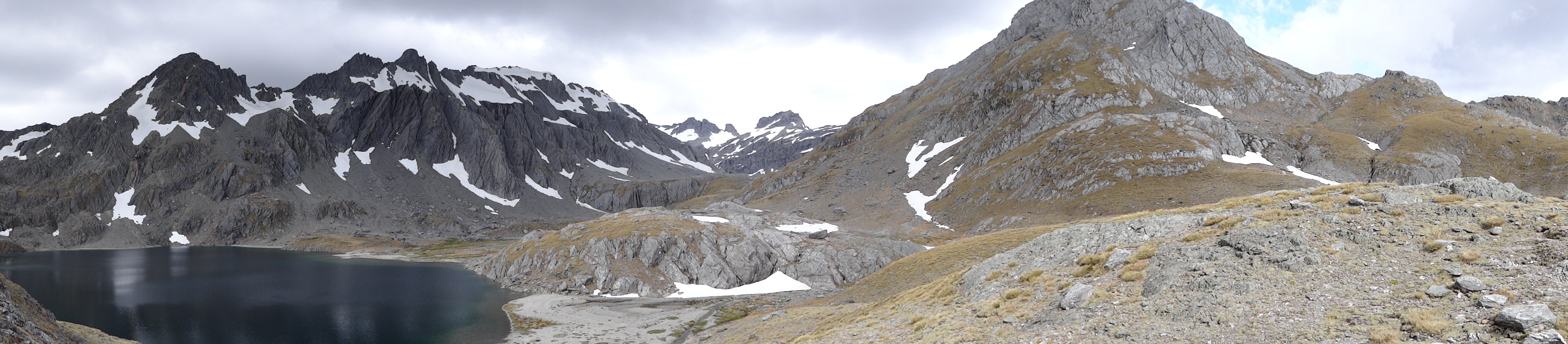
写真

tutoko to pembroke
end of day 1 - barrier col, olivine ice plateau
last light on intervention
forgotten river col

martin's bay
View from below Sunset Peak
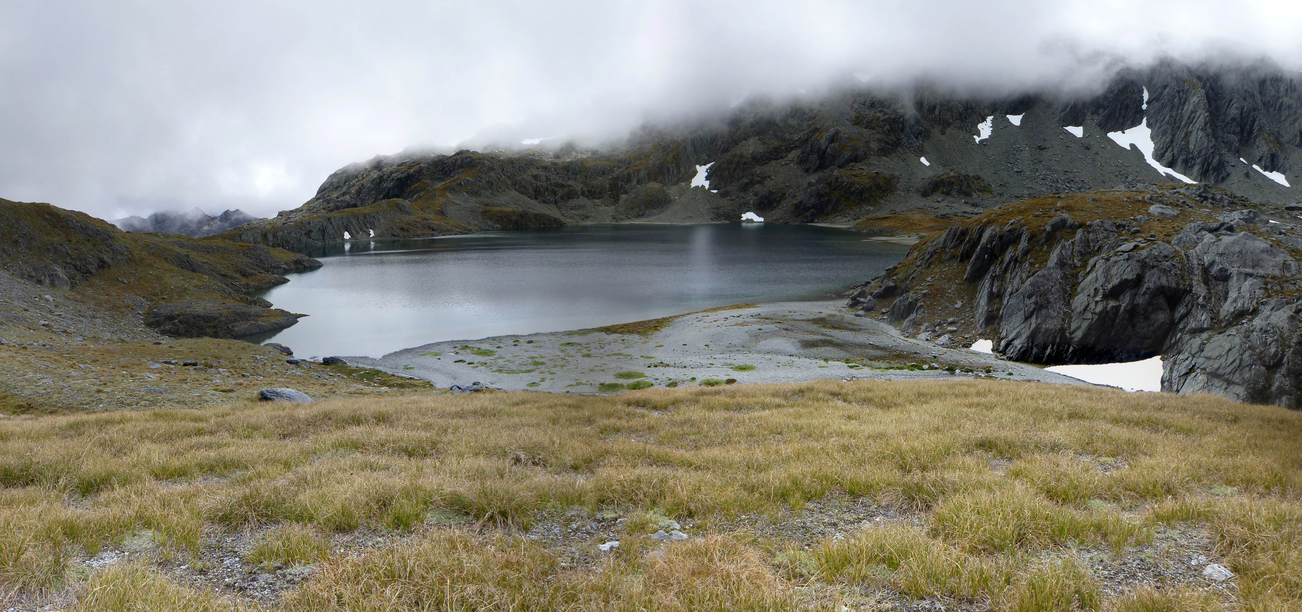
Fohn Lake

View NW from below Fohn Saddle
From Sunset Peak to Mt Fohn
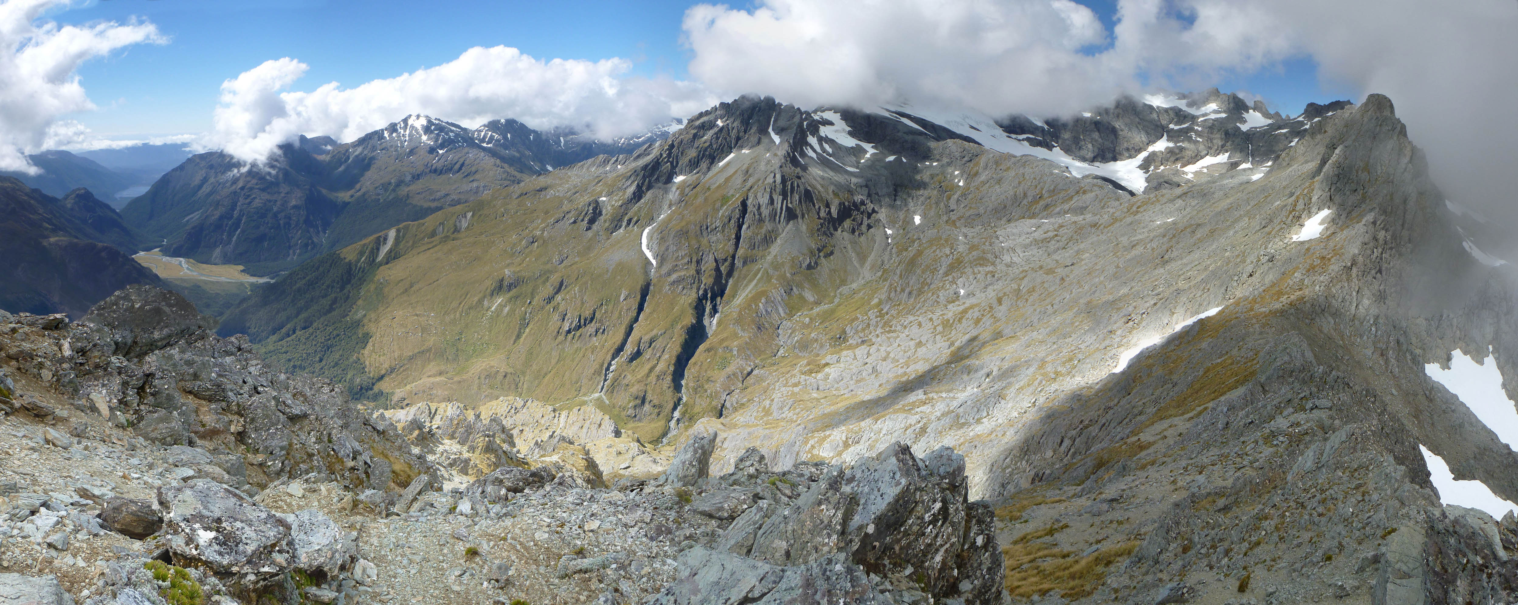
From Sunset Peak
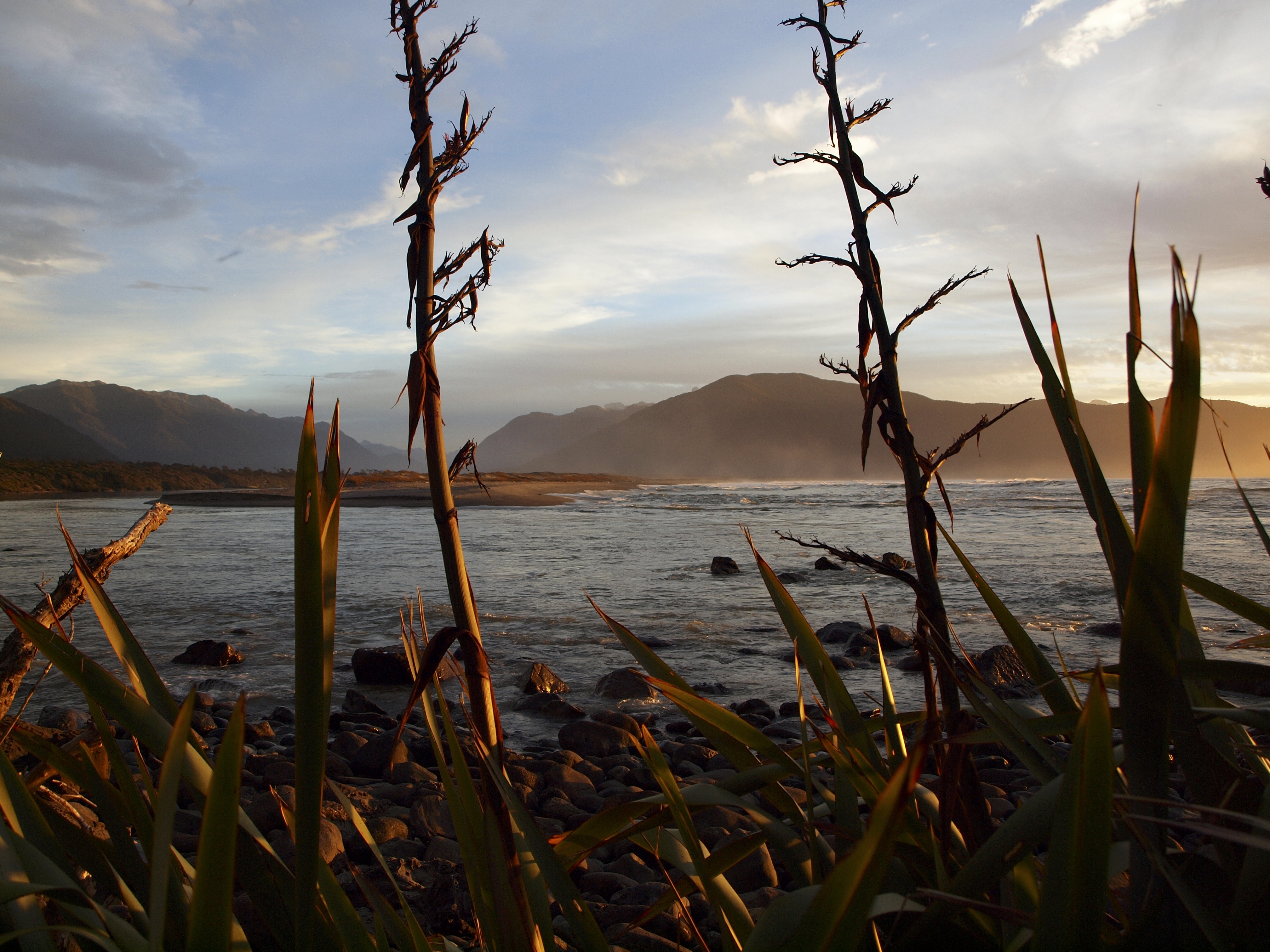
Hollyford Martin's Bay 2011 - 138
ニュージーランド 〒 南部地方 HP スキッパーズ・レンジの地図
別の場所を検索
近所の場所
ニュージーランド ジェームスタウン
ニュージーランド 〒 西海岸 クライマックス・ピーク
ニュージーランド 〒 南部地方 マデリーン山
ニュージーランド 〒 南部地方 トゥトコ山
ニュージーランド 〒 西海岸 サムナス
Hollyford Track, Fiordland National Park ニュージーランドホリーフォード・トラック
Routeburn Track, Mount Aspiring National Park ニュージーランドRouteburn Falls Hut
ニュージーランド 〒 オタゴ アーンズロー山
Routeburn Rd, Kinloch ニュージーランドRouteburn Shelter Parking
Routeburn Track, ニュージーランド
Milford Sound Lodge, Fiordland National Park ニュージーランド
Milford Sound Hwy, Fiordland National Park ニュージーランド
24 Milford Sound Hwy, Milford Sound ニュージーランド
ニュージーランド 〒 ミルフォード・サウンド
90 Milford Sound Hwy, Milford Sound ニュージーランド
95 New Zealand State Highway 94, Milford Sound ニュージーランド
ニュージーランド マイルフォード・サウンド
ニュージーランド 西海岸 ウェストランド・ディストリクト
Glenorchy-Paradise Rd, Dunedin & Districts, Queenstown ニュージーランドParadise Trust
ニュージーランド 〒Milford Sound
最近の検索
- 日本、〒- 愛媛県今治市吉海町南浦日の出日の入り時間
- イギリス 〒FK8 スターリング キッペン日の出日の入り時間
- No. 23號, Zhongzheng Rd, Yuchi Township, Nantou County, 台湾 雲品温泉酒店日の出日の入り時間
- 日本、〒- 北海道岩見沢市北村赤川156−16日の出日の入り時間
- 55 Cassick Valley Rd, Wellfleet, MA アメリカ合衆国日の出日の入り時間
- 日本、〒- 東京都八王子市高尾町高尾山口駅日の出日の入り時間
- 日本、〒- 奈良県天理市杣之内町日の出日の入り時間
- Kota Ternate Utara, Ternate City, North Maluku, インドネシア日の出日の入り時間
- Zhongzheng S Rd, Sanchong District, New Taipei City, 台湾 Zhongzheng South Road日の出日の入り時間
- コンゴ民主共和国 リュアラバ日の出日の入り時間