アメリカ合衆国 〒 カンザス州 エンポーリア日の出日の入り時間
Location: アメリカ合衆国 > カンザス州 > ライアン >
時間帯:
America/Chicago
現地時間:
2024-05-07 07:31:01
経度:
-96.1816626
緯度:
38.403903
今日の日の出時刻:
06:19:55 AM
今日の日の入時刻:
08:22:32 PM
今日の日長:
14h 2m 37s
明日の日の出時刻:
06:18:53 AM
明日の日の入時刻:
08:23:28 PM
明日の日長:
14h 4m 35s
すべて表示する
| 日付 | 日出 | 日没 | 日長 |
|---|---|---|---|
| 2024年01月01日 | 07:41:54 AM | 05:15:10 PM | 9h 33m 16s |
| 2024年01月02日 | 07:42:00 AM | 05:15:59 PM | 9h 33m 59s |
| 2024年01月03日 | 07:42:04 AM | 05:16:50 PM | 9h 34m 46s |
| 2024年01月04日 | 07:42:06 AM | 05:17:42 PM | 9h 35m 36s |
| 2024年01月05日 | 07:42:06 AM | 05:18:35 PM | 9h 36m 29s |
| 2024年01月06日 | 07:42:04 AM | 05:19:30 PM | 9h 37m 26s |
| 2024年01月07日 | 07:42:00 AM | 05:20:26 PM | 9h 38m 26s |
| 2024年01月08日 | 07:41:54 AM | 05:21:23 PM | 9h 39m 29s |
| 2024年01月09日 | 07:41:45 AM | 05:22:20 PM | 9h 40m 35s |
| 2024年01月10日 | 07:41:34 AM | 05:23:19 PM | 9h 41m 45s |
| 2024年01月11日 | 07:41:22 AM | 05:24:19 PM | 9h 42m 57s |
| 2024年01月12日 | 07:41:07 AM | 05:25:20 PM | 9h 44m 13s |
| 2024年01月13日 | 07:40:50 AM | 05:26:21 PM | 9h 45m 31s |
| 2024年01月14日 | 07:40:31 AM | 05:27:23 PM | 9h 46m 52s |
| 2024年01月15日 | 07:40:10 AM | 05:28:26 PM | 9h 48m 16s |
| 2024年01月16日 | 07:39:47 AM | 05:29:30 PM | 9h 49m 43s |
| 2024年01月17日 | 07:39:22 AM | 05:30:34 PM | 9h 51m 12s |
| 2024年01月18日 | 07:38:55 AM | 05:31:39 PM | 9h 52m 44s |
| 2024年01月19日 | 07:38:26 AM | 05:32:45 PM | 9h 54m 19s |
| 2024年01月20日 | 07:37:55 AM | 05:33:51 PM | 9h 55m 56s |
| 2024年01月21日 | 07:37:22 AM | 05:34:57 PM | 9h 57m 35s |
| 2024年01月22日 | 07:36:47 AM | 05:36:04 PM | 9h 59m 17s |
| 2024年01月23日 | 07:36:10 AM | 05:37:11 PM | 10h 1m 1s |
| 2024年01月24日 | 07:35:31 AM | 05:38:18 PM | 10h 2m 47s |
| 2024年01月25日 | 07:34:51 AM | 05:39:26 PM | 10h 4m 35s |
| 2024年01月26日 | 07:34:09 AM | 05:40:33 PM | 10h 6m 24s |
| 2024年01月27日 | 07:33:24 AM | 05:41:42 PM | 10h 8m 18s |
| 2024年01月28日 | 07:32:38 AM | 05:42:50 PM | 10h 10m 12s |
| 2024年01月29日 | 07:31:51 AM | 05:43:58 PM | 10h 12m 7s |
| 2024年01月30日 | 07:31:01 AM | 05:45:06 PM | 10h 14m 5s |
| 2024年01月31日 | 07:30:10 AM | 05:46:15 PM | 10h 16m 5s |
| 2024年02月01日 | 07:29:18 AM | 05:47:23 PM | 10h 18m 5s |
| 2024年02月02日 | 07:28:23 AM | 05:48:32 PM | 10h 20m 9s |
| 2024年02月03日 | 07:27:27 AM | 05:49:40 PM | 10h 22m 13s |
| 2024年02月04日 | 07:26:30 AM | 05:50:49 PM | 10h 24m 19s |
| 2024年02月05日 | 07:25:31 AM | 05:51:57 PM | 10h 26m 26s |
| 2024年02月06日 | 07:24:30 AM | 05:53:05 PM | 10h 28m 35s |
| 2024年02月07日 | 07:23:28 AM | 05:54:13 PM | 10h 30m 45s |
| 2024年02月08日 | 07:22:25 AM | 05:55:21 PM | 10h 32m 56s |
| 2024年02月09日 | 07:21:20 AM | 05:56:28 PM | 10h 35m 8s |
| 2024年02月10日 | 07:20:14 AM | 05:57:36 PM | 10h 37m 22s |
| 2024年02月11日 | 07:19:07 AM | 05:58:43 PM | 10h 39m 36s |
| 2024年02月12日 | 07:17:58 AM | 05:59:50 PM | 10h 41m 52s |
| 2024年02月13日 | 07:16:48 AM | 06:00:57 PM | 10h 44m 9s |
| 2024年02月14日 | 07:15:37 AM | 06:02:03 PM | 10h 46m 26s |
| 2024年02月15日 | 07:14:25 AM | 06:03:09 PM | 10h 48m 44s |
| 2024年02月16日 | 07:13:11 AM | 06:04:15 PM | 10h 51m 4s |
| 2024年02月17日 | 07:11:57 AM | 06:05:21 PM | 10h 53m 24s |
| 2024年02月18日 | 07:10:41 AM | 06:06:26 PM | 10h 55m 45s |
| 2024年02月19日 | 07:09:24 AM | 06:07:31 PM | 10h 58m 7s |
| 2024年02月20日 | 07:08:06 AM | 06:08:36 PM | 11h 0m 30s |
| 2024年02月21日 | 07:06:48 AM | 06:09:41 PM | 11h 2m 53s |
| 2024年02月22日 | 07:05:28 AM | 06:10:45 PM | 11h 5m 17s |
| 2024年02月23日 | 07:04:07 AM | 06:11:49 PM | 11h 7m 42s |
| 2024年02月24日 | 07:02:46 AM | 06:12:52 PM | 11h 10m 6s |
| 2024年02月25日 | 07:01:24 AM | 06:13:55 PM | 11h 12m 31s |
| 2024年02月26日 | 07:00:00 AM | 06:14:58 PM | 11h 14m 58s |
| 2024年02月27日 | 06:58:36 AM | 06:16:01 PM | 11h 17m 25s |
| 2024年02月28日 | 06:57:12 AM | 06:17:03 PM | 11h 19m 51s |
| 2024年02月29日 | 06:55:46 AM | 06:18:05 PM | 11h 22m 19s |
| 2024年03月01日 | 06:54:20 AM | 06:19:07 PM | 11h 24m 47s |
| 2024年03月02日 | 06:52:54 AM | 06:20:08 PM | 11h 27m 14s |
| 2024年03月03日 | 06:51:26 AM | 06:21:09 PM | 11h 29m 43s |
| 2024年03月04日 | 06:49:58 AM | 06:22:10 PM | 11h 32m 12s |
| 2024年03月05日 | 06:48:30 AM | 06:23:10 PM | 11h 34m 40s |
| 2024年03月06日 | 06:47:01 AM | 06:24:10 PM | 11h 37m 9s |
| 2024年03月07日 | 06:45:32 AM | 06:25:10 PM | 11h 39m 38s |
| 2024年03月08日 | 06:44:02 AM | 06:26:10 PM | 11h 42m 8s |
| 2024年03月09日 | 06:42:31 AM | 06:27:09 PM | 11h 44m 38s |
| 2024年03月10日 | 07:41:04 AM | 07:28:06 PM | 11h 47m 2s |
| 2024年03月11日 | 07:39:33 AM | 07:29:05 PM | 11h 49m 32s |
| 2024年03月12日 | 07:38:02 AM | 07:30:04 PM | 11h 52m 2s |
| 2024年03月13日 | 07:36:30 AM | 07:31:02 PM | 11h 54m 32s |
| 2024年03月14日 | 07:34:58 AM | 07:32:01 PM | 11h 57m 3s |
| 2024年03月15日 | 07:33:26 AM | 07:32:59 PM | 11h 59m 33s |
| 2024年03月16日 | 07:31:53 AM | 07:33:57 PM | 12h 2m 4s |
| 2024年03月17日 | 07:30:21 AM | 07:34:55 PM | 12h 4m 34s |
| 2024年03月18日 | 07:28:48 AM | 07:35:52 PM | 12h 7m 4s |
| 2024年03月19日 | 07:27:15 AM | 07:36:50 PM | 12h 9m 35s |
| 2024年03月20日 | 07:25:42 AM | 07:37:47 PM | 12h 12m 5s |
| 2024年03月21日 | 07:24:09 AM | 07:38:44 PM | 12h 14m 35s |
| 2024年03月22日 | 07:22:36 AM | 07:39:41 PM | 12h 17m 5s |
| 2024年03月23日 | 07:21:03 AM | 07:40:38 PM | 12h 19m 35s |
| 2024年03月24日 | 07:19:30 AM | 07:41:35 PM | 12h 22m 5s |
| 2024年03月25日 | 07:17:57 AM | 07:42:32 PM | 12h 24m 35s |
| 2024年03月26日 | 07:16:24 AM | 07:43:28 PM | 12h 27m 4s |
| 2024年03月27日 | 07:14:51 AM | 07:44:25 PM | 12h 29m 34s |
| 2024年03月28日 | 07:13:18 AM | 07:45:22 PM | 12h 32m 4s |
| 2024年03月29日 | 07:11:46 AM | 07:46:18 PM | 12h 34m 32s |
| 2024年03月30日 | 07:10:14 AM | 07:47:15 PM | 12h 37m 1s |
| 2024年03月31日 | 07:08:42 AM | 07:48:11 PM | 12h 39m 29s |
| 2024年04月01日 | 07:07:10 AM | 07:49:07 PM | 12h 41m 57s |
| 2024年04月02日 | 07:05:39 AM | 07:50:04 PM | 12h 44m 25s |
| 2024年04月03日 | 07:04:07 AM | 07:51:00 PM | 12h 46m 53s |
| 2024年04月04日 | 07:02:37 AM | 07:51:57 PM | 12h 49m 20s |
| 2024年04月05日 | 07:01:06 AM | 07:52:53 PM | 12h 51m 47s |
| 2024年04月06日 | 06:59:36 AM | 07:53:49 PM | 12h 54m 13s |
| 2024年04月07日 | 06:58:07 AM | 07:54:46 PM | 12h 56m 39s |
| 2024年04月08日 | 06:56:38 AM | 07:55:42 PM | 12h 59m 4s |
| 2024年04月09日 | 06:55:09 AM | 07:56:39 PM | 13h 1m 30s |
| 2024年04月10日 | 06:53:41 AM | 07:57:35 PM | 13h 3m 54s |
| 2024年04月11日 | 06:52:14 AM | 07:58:32 PM | 13h 6m 18s |
| 2024年04月12日 | 06:50:47 AM | 07:59:28 PM | 13h 8m 41s |
| 2024年04月13日 | 06:49:21 AM | 08:00:25 PM | 13h 11m 4s |
| 2024年04月14日 | 06:47:56 AM | 08:01:22 PM | 13h 13m 26s |
| 2024年04月15日 | 06:46:31 AM | 08:02:18 PM | 13h 15m 47s |
| 2024年04月16日 | 06:45:07 AM | 08:03:15 PM | 13h 18m 8s |
| 2024年04月17日 | 06:43:43 AM | 08:04:12 PM | 13h 20m 29s |
| 2024年04月18日 | 06:42:21 AM | 08:05:08 PM | 13h 22m 47s |
| 2024年04月19日 | 06:40:59 AM | 08:06:05 PM | 13h 25m 6s |
| 2024年04月20日 | 06:39:38 AM | 08:07:02 PM | 13h 27m 24s |
| 2024年04月21日 | 06:38:18 AM | 08:07:59 PM | 13h 29m 41s |
| 2024年04月22日 | 06:36:59 AM | 08:08:56 PM | 13h 31m 57s |
| 2024年04月23日 | 06:35:41 AM | 08:09:53 PM | 13h 34m 12s |
| 2024年04月24日 | 06:34:24 AM | 08:10:49 PM | 13h 36m 25s |
| 2024年04月25日 | 06:33:07 AM | 08:11:46 PM | 13h 38m 39s |
| 2024年04月26日 | 06:31:52 AM | 08:12:43 PM | 13h 40m 51s |
| 2024年04月27日 | 06:30:38 AM | 08:13:40 PM | 13h 43m 2s |
| 2024年04月28日 | 06:29:25 AM | 08:14:37 PM | 13h 45m 12s |
| 2024年04月29日 | 06:28:13 AM | 08:15:33 PM | 13h 47m 20s |
| 2024年04月30日 | 06:27:02 AM | 08:16:30 PM | 13h 49m 28s |
| 2024年05月01日 | 06:25:53 AM | 08:17:26 PM | 13h 51m 33s |
| 2024年05月02日 | 06:24:44 AM | 08:18:23 PM | 13h 53m 39s |
| 2024年05月03日 | 06:23:37 AM | 08:19:19 PM | 13h 55m 42s |
| 2024年05月04日 | 06:22:31 AM | 08:20:15 PM | 13h 57m 44s |
| 2024年05月05日 | 06:21:27 AM | 08:21:11 PM | 13h 59m 44s |
| 2024年05月06日 | 06:20:23 AM | 08:22:07 PM | 14h 1m 44s |
| 2024年05月07日 | 06:19:21 AM | 08:23:02 PM | 14h 3m 41s |
| 2024年05月08日 | 06:18:21 AM | 08:23:58 PM | 14h 5m 37s |
| 2024年05月09日 | 06:17:22 AM | 08:24:53 PM | 14h 7m 31s |
| 2024年05月10日 | 06:16:24 AM | 08:25:47 PM | 14h 9m 23s |
| 2024年05月11日 | 06:15:28 AM | 08:26:42 PM | 14h 11m 14s |
| 2024年05月12日 | 06:14:33 AM | 08:27:36 PM | 14h 13m 3s |
| 2024年05月13日 | 06:13:39 AM | 08:28:30 PM | 14h 14m 51s |
| 2024年05月14日 | 06:12:48 AM | 08:29:23 PM | 14h 16m 35s |
| 2024年05月15日 | 06:11:58 AM | 08:30:16 PM | 14h 18m 18s |
| 2024年05月16日 | 06:11:09 AM | 08:31:08 PM | 14h 19m 59s |
| 2024年05月17日 | 06:10:22 AM | 08:32:00 PM | 14h 21m 38s |
| 2024年05月18日 | 06:09:37 AM | 08:32:52 PM | 14h 23m 15s |
| 2024年05月19日 | 06:08:53 AM | 08:33:43 PM | 14h 24m 50s |
| 2024年05月20日 | 06:08:11 AM | 08:34:33 PM | 14h 26m 22s |
| 2024年05月21日 | 06:07:30 AM | 08:35:22 PM | 14h 27m 52s |
| 2024年05月22日 | 06:06:52 AM | 08:36:11 PM | 14h 29m 19s |
| 2024年05月23日 | 06:06:15 AM | 08:37:00 PM | 14h 30m 45s |
| 2024年05月24日 | 06:05:40 AM | 08:37:47 PM | 14h 32m 7s |
| 2024年05月25日 | 06:05:06 AM | 08:38:34 PM | 14h 33m 28s |
| 2024年05月26日 | 06:04:35 AM | 08:39:20 PM | 14h 34m 45s |
| 2024年05月27日 | 06:04:05 AM | 08:40:05 PM | 14h 36m 0s |
| 2024年05月28日 | 06:03:37 AM | 08:40:49 PM | 14h 37m 12s |
| 2024年05月29日 | 06:03:10 AM | 08:41:32 PM | 14h 38m 22s |
| 2024年05月30日 | 06:02:46 AM | 08:42:14 PM | 14h 39m 28s |
| 2024年05月31日 | 06:02:23 AM | 08:42:55 PM | 14h 40m 32s |
| 2024年06月01日 | 06:02:02 AM | 08:43:35 PM | 14h 41m 33s |
| 2024年06月02日 | 06:01:44 AM | 08:44:14 PM | 14h 42m 30s |
| 2024年06月03日 | 06:01:26 AM | 08:44:52 PM | 14h 43m 26s |
| 2024年06月04日 | 06:01:11 AM | 08:45:28 PM | 14h 44m 17s |
| 2024年06月05日 | 06:00:58 AM | 08:46:04 PM | 14h 45m 6s |
| 2024年06月06日 | 06:00:46 AM | 08:46:38 PM | 14h 45m 52s |
| 2024年06月07日 | 06:00:36 AM | 08:47:11 PM | 14h 46m 35s |
| 2024年06月08日 | 06:00:29 AM | 08:47:42 PM | 14h 47m 13s |
| 2024年06月09日 | 06:00:23 AM | 08:48:12 PM | 14h 47m 49s |
| 2024年06月10日 | 06:00:18 AM | 08:48:41 PM | 14h 48m 23s |
| 2024年06月11日 | 06:00:16 AM | 08:49:08 PM | 14h 48m 52s |
| 2024年06月12日 | 06:00:15 AM | 08:49:34 PM | 14h 49m 19s |
| 2024年06月13日 | 06:00:16 AM | 08:49:58 PM | 14h 49m 42s |
| 2024年06月14日 | 06:00:19 AM | 08:50:21 PM | 14h 50m 2s |
| 2024年06月15日 | 06:00:24 AM | 08:50:42 PM | 14h 50m 18s |
| 2024年06月16日 | 06:00:31 AM | 08:51:02 PM | 14h 50m 31s |
| 2024年06月17日 | 06:00:39 AM | 08:51:20 PM | 14h 50m 41s |
| 2024年06月18日 | 06:00:49 AM | 08:51:36 PM | 14h 50m 47s |
| 2024年06月19日 | 06:01:00 AM | 08:51:51 PM | 14h 50m 51s |
| 2024年06月20日 | 06:01:14 AM | 08:52:04 PM | 14h 50m 50s |
| 2024年06月21日 | 06:01:28 AM | 08:52:15 PM | 14h 50m 47s |
| 2024年06月22日 | 06:01:45 AM | 08:52:24 PM | 14h 50m 39s |
| 2024年06月23日 | 06:02:03 AM | 08:52:32 PM | 14h 50m 29s |
| 2024年06月24日 | 06:02:23 AM | 08:52:37 PM | 14h 50m 14s |
| 2024年06月25日 | 06:02:44 AM | 08:52:41 PM | 14h 49m 57s |
| 2024年06月26日 | 06:03:07 AM | 08:52:44 PM | 14h 49m 37s |
| 2024年06月27日 | 06:03:31 AM | 08:52:44 PM | 14h 49m 13s |
| 2024年06月28日 | 06:03:56 AM | 08:52:42 PM | 14h 48m 46s |
| 2024年06月29日 | 06:04:23 AM | 08:52:39 PM | 14h 48m 16s |
| 2024年06月30日 | 06:04:52 AM | 08:52:34 PM | 14h 47m 42s |
| 2024年07月01日 | 06:05:21 AM | 08:52:27 PM | 14h 47m 6s |
| 2024年07月02日 | 06:05:52 AM | 08:52:18 PM | 14h 46m 26s |
| 2024年07月03日 | 06:06:24 AM | 08:52:07 PM | 14h 45m 43s |
| 2024年07月04日 | 06:06:58 AM | 08:51:54 PM | 14h 44m 56s |
| 2024年07月05日 | 06:07:32 AM | 08:51:39 PM | 14h 44m 7s |
| 2024年07月06日 | 06:08:08 AM | 08:51:23 PM | 14h 43m 15s |
| 2024年07月07日 | 06:08:45 AM | 08:51:04 PM | 14h 42m 19s |
| 2024年07月08日 | 06:09:23 AM | 08:50:44 PM | 14h 41m 21s |
| 2024年07月09日 | 06:10:02 AM | 08:50:22 PM | 14h 40m 20s |
| 2024年07月10日 | 06:10:42 AM | 08:49:58 PM | 14h 39m 16s |
| 2024年07月11日 | 06:11:23 AM | 08:49:32 PM | 14h 38m 9s |
| 2024年07月12日 | 06:12:04 AM | 08:49:04 PM | 14h 37m 0s |
| 2024年07月13日 | 06:12:47 AM | 08:48:35 PM | 14h 35m 48s |
| 2024年07月14日 | 06:13:30 AM | 08:48:03 PM | 14h 34m 33s |
| 2024年07月15日 | 06:14:14 AM | 08:47:30 PM | 14h 33m 16s |
| 2024年07月16日 | 06:14:59 AM | 08:46:55 PM | 14h 31m 56s |
| 2024年07月17日 | 06:15:45 AM | 08:46:18 PM | 14h 30m 33s |
| 2024年07月18日 | 06:16:31 AM | 08:45:40 PM | 14h 29m 9s |
| 2024年07月19日 | 06:17:18 AM | 08:44:59 PM | 14h 27m 41s |
| 2024年07月20日 | 06:18:06 AM | 08:44:17 PM | 14h 26m 11s |
| 2024年07月21日 | 06:18:54 AM | 08:43:33 PM | 14h 24m 39s |
| 2024年07月22日 | 06:19:43 AM | 08:42:48 PM | 14h 23m 5s |
| 2024年07月23日 | 06:20:32 AM | 08:42:01 PM | 14h 21m 29s |
| 2024年07月24日 | 06:21:21 AM | 08:41:12 PM | 14h 19m 51s |
| 2024年07月25日 | 06:22:11 AM | 08:40:22 PM | 14h 18m 11s |
| 2024年07月26日 | 06:23:02 AM | 08:39:30 PM | 14h 16m 28s |
| 2024年07月27日 | 06:23:52 AM | 08:38:36 PM | 14h 14m 44s |
| 2024年07月28日 | 06:24:43 AM | 08:37:41 PM | 14h 12m 58s |
| 2024年07月29日 | 06:25:35 AM | 08:36:45 PM | 14h 11m 10s |
| 2024年07月30日 | 06:26:27 AM | 08:35:47 PM | 14h 9m 20s |
| 2024年07月31日 | 06:27:18 AM | 08:34:47 PM | 14h 7m 29s |
| 2024年08月01日 | 06:28:11 AM | 08:33:46 PM | 14h 5m 35s |
| 2024年08月02日 | 06:29:03 AM | 08:32:44 PM | 14h 3m 41s |
| 2024年08月03日 | 06:29:55 AM | 08:31:40 PM | 14h 1m 45s |
| 2024年08月04日 | 06:30:48 AM | 08:30:35 PM | 13h 59m 47s |
| 2024年08月05日 | 06:31:41 AM | 08:29:29 PM | 13h 57m 48s |
| 2024年08月06日 | 06:32:34 AM | 08:28:21 PM | 13h 55m 47s |
| 2024年08月07日 | 06:33:27 AM | 08:27:12 PM | 13h 53m 45s |
| 2024年08月08日 | 06:34:20 AM | 08:26:02 PM | 13h 51m 42s |
| 2024年08月09日 | 06:35:13 AM | 08:24:50 PM | 13h 49m 37s |
| 2024年08月10日 | 06:36:06 AM | 08:23:37 PM | 13h 47m 31s |
| 2024年08月11日 | 06:36:59 AM | 08:22:24 PM | 13h 45m 25s |
| 2024年08月12日 | 06:37:52 AM | 08:21:09 PM | 13h 43m 17s |
| 2024年08月13日 | 06:38:46 AM | 08:19:53 PM | 13h 41m 7s |
| 2024年08月14日 | 06:39:39 AM | 08:18:36 PM | 13h 38m 57s |
| 2024年08月15日 | 06:40:32 AM | 08:17:18 PM | 13h 36m 46s |
| 2024年08月16日 | 06:41:25 AM | 08:15:59 PM | 13h 34m 34s |
| 2024年08月17日 | 06:42:18 AM | 08:14:39 PM | 13h 32m 21s |
| 2024年08月18日 | 06:43:11 AM | 08:13:18 PM | 13h 30m 7s |
| 2024年08月19日 | 06:44:04 AM | 08:11:56 PM | 13h 27m 52s |
| 2024年08月20日 | 06:44:57 AM | 08:10:33 PM | 13h 25m 36s |
| 2024年08月21日 | 06:45:50 AM | 08:09:09 PM | 13h 23m 19s |
| 2024年08月22日 | 06:46:43 AM | 08:07:45 PM | 13h 21m 2s |
| 2024年08月23日 | 06:47:36 AM | 08:06:20 PM | 13h 18m 44s |
| 2024年08月24日 | 06:48:29 AM | 08:04:54 PM | 13h 16m 25s |
| 2024年08月25日 | 06:49:21 AM | 08:03:27 PM | 13h 14m 6s |
| 2024年08月26日 | 06:50:14 AM | 08:02:00 PM | 13h 11m 46s |
| 2024年08月27日 | 06:51:06 AM | 08:00:32 PM | 13h 9m 26s |
| 2024年08月28日 | 06:51:59 AM | 07:59:03 PM | 13h 7m 4s |
| 2024年08月29日 | 06:52:51 AM | 07:57:33 PM | 13h 4m 42s |
| 2024年08月30日 | 06:53:43 AM | 07:56:04 PM | 13h 2m 21s |
| 2024年08月31日 | 06:54:36 AM | 07:54:33 PM | 12h 59m 57s |
| 2024年09月01日 | 06:55:28 AM | 07:53:02 PM | 12h 57m 34s |
| 2024年09月02日 | 06:56:20 AM | 07:51:31 PM | 12h 55m 11s |
| 2024年09月03日 | 06:57:12 AM | 07:49:59 PM | 12h 52m 47s |
| 2024年09月04日 | 06:58:04 AM | 07:48:26 PM | 12h 50m 22s |
| 2024年09月05日 | 06:58:56 AM | 07:46:54 PM | 12h 47m 58s |
| 2024年09月06日 | 06:59:48 AM | 07:45:21 PM | 12h 45m 33s |
| 2024年09月07日 | 07:00:40 AM | 07:43:47 PM | 12h 43m 7s |
| 2024年09月08日 | 07:01:32 AM | 07:42:13 PM | 12h 40m 41s |
| 2024年09月09日 | 07:02:24 AM | 07:40:39 PM | 12h 38m 15s |
| 2024年09月10日 | 07:03:16 AM | 07:39:05 PM | 12h 35m 49s |
| 2024年09月11日 | 07:04:09 AM | 07:37:31 PM | 12h 33m 22s |
| 2024年09月12日 | 07:05:01 AM | 07:35:56 PM | 12h 30m 55s |
| 2024年09月13日 | 07:05:53 AM | 07:34:21 PM | 12h 28m 28s |
| 2024年09月14日 | 07:06:45 AM | 07:32:46 PM | 12h 26m 1s |
| 2024年09月15日 | 07:07:37 AM | 07:31:11 PM | 12h 23m 34s |
| 2024年09月16日 | 07:08:30 AM | 07:29:36 PM | 12h 21m 6s |
| 2024年09月17日 | 07:09:22 AM | 07:28:00 PM | 12h 18m 38s |
| 2024年09月18日 | 07:10:14 AM | 07:26:25 PM | 12h 16m 11s |
| 2024年09月19日 | 07:11:07 AM | 07:24:50 PM | 12h 13m 43s |
| 2024年09月20日 | 07:12:00 AM | 07:23:14 PM | 12h 11m 14s |
| 2024年09月21日 | 07:12:53 AM | 07:21:39 PM | 12h 8m 46s |
| 2024年09月22日 | 07:13:46 AM | 07:20:04 PM | 12h 6m 18s |
| 2024年09月23日 | 07:14:39 AM | 07:18:29 PM | 12h 3m 50s |
| 2024年09月24日 | 07:15:32 AM | 07:16:54 PM | 12h 1m 22s |
| 2024年09月25日 | 07:16:26 AM | 07:15:20 PM | 11h 58m 54s |
| 2024年09月26日 | 07:17:19 AM | 07:13:45 PM | 11h 56m 26s |
| 2024年09月27日 | 07:18:13 AM | 07:12:11 PM | 11h 53m 58s |
| 2024年09月28日 | 07:19:07 AM | 07:10:37 PM | 11h 51m 30s |
| 2024年09月29日 | 07:20:01 AM | 07:09:04 PM | 11h 49m 3s |
| 2024年09月30日 | 07:20:56 AM | 07:07:31 PM | 11h 46m 35s |
| 2024年10月01日 | 07:21:51 AM | 07:05:58 PM | 11h 44m 7s |
| 2024年10月02日 | 07:22:46 AM | 07:04:25 PM | 11h 41m 39s |
| 2024年10月03日 | 07:23:41 AM | 07:02:53 PM | 11h 39m 12s |
| 2024年10月04日 | 07:24:37 AM | 07:01:22 PM | 11h 36m 45s |
| 2024年10月05日 | 07:25:32 AM | 06:59:51 PM | 11h 34m 19s |
| 2024年10月06日 | 07:26:29 AM | 06:58:20 PM | 11h 31m 51s |
| 2024年10月07日 | 07:27:25 AM | 06:56:50 PM | 11h 29m 25s |
| 2024年10月08日 | 07:28:22 AM | 06:55:21 PM | 11h 26m 59s |
| 2024年10月09日 | 07:29:19 AM | 06:53:52 PM | 11h 24m 33s |
| 2024年10月10日 | 07:30:16 AM | 06:52:24 PM | 11h 22m 8s |
| 2024年10月11日 | 07:31:14 AM | 06:50:56 PM | 11h 19m 42s |
| 2024年10月12日 | 07:32:12 AM | 06:49:29 PM | 11h 17m 17s |
| 2024年10月13日 | 07:33:10 AM | 06:48:03 PM | 11h 14m 53s |
| 2024年10月14日 | 07:34:09 AM | 06:46:38 PM | 11h 12m 29s |
| 2024年10月15日 | 07:35:08 AM | 06:45:13 PM | 11h 10m 5s |
| 2024年10月16日 | 07:36:07 AM | 06:43:50 PM | 11h 7m 43s |
| 2024年10月17日 | 07:37:07 AM | 06:42:27 PM | 11h 5m 20s |
| 2024年10月18日 | 07:38:07 AM | 06:41:05 PM | 11h 2m 58s |
| 2024年10月19日 | 07:39:07 AM | 06:39:44 PM | 11h 0m 37s |
| 2024年10月20日 | 07:40:08 AM | 06:38:24 PM | 10h 58m 16s |
| 2024年10月21日 | 07:41:09 AM | 06:37:05 PM | 10h 55m 56s |
| 2024年10月22日 | 07:42:10 AM | 06:35:47 PM | 10h 53m 37s |
| 2024年10月23日 | 07:43:12 AM | 06:34:31 PM | 10h 51m 19s |
| 2024年10月24日 | 07:44:14 AM | 06:33:15 PM | 10h 49m 1s |
| 2024年10月25日 | 07:45:16 AM | 06:32:00 PM | 10h 46m 44s |
| 2024年10月26日 | 07:46:19 AM | 06:30:47 PM | 10h 44m 28s |
| 2024年10月27日 | 07:47:22 AM | 06:29:35 PM | 10h 42m 13s |
| 2024年10月28日 | 07:48:25 AM | 06:28:24 PM | 10h 39m 59s |
| 2024年10月29日 | 07:49:28 AM | 06:27:14 PM | 10h 37m 46s |
| 2024年10月30日 | 07:50:32 AM | 06:26:06 PM | 10h 35m 34s |
| 2024年10月31日 | 07:51:36 AM | 06:24:59 PM | 10h 33m 23s |
| 2024年11月01日 | 07:52:40 AM | 06:23:53 PM | 10h 31m 13s |
| 2024年11月02日 | 07:53:45 AM | 06:22:49 PM | 10h 29m 4s |
| 2024年11月03日 | 06:54:52 AM | 05:21:43 PM | 10h 26m 51s |
| 2024年11月04日 | 06:55:57 AM | 05:20:42 PM | 10h 24m 45s |
| 2024年11月05日 | 06:57:02 AM | 05:19:42 PM | 10h 22m 40s |
| 2024年11月06日 | 06:58:07 AM | 05:18:44 PM | 10h 20m 37s |
| 2024年11月07日 | 06:59:12 AM | 05:17:47 PM | 10h 18m 35s |
| 2024年11月08日 | 07:00:18 AM | 05:16:52 PM | 10h 16m 34s |
| 2024年11月09日 | 07:01:23 AM | 05:15:59 PM | 10h 14m 36s |
| 2024年11月10日 | 07:02:28 AM | 05:15:07 PM | 10h 12m 39s |
| 2024年11月11日 | 07:03:34 AM | 05:14:17 PM | 10h 10m 43s |
| 2024年11月12日 | 07:04:39 AM | 05:13:29 PM | 10h 8m 50s |
| 2024年11月13日 | 07:05:44 AM | 05:12:43 PM | 10h 6m 59s |
| 2024年11月14日 | 07:06:49 AM | 05:11:58 PM | 10h 5m 9s |
| 2024年11月15日 | 07:07:54 AM | 05:11:15 PM | 10h 3m 21s |
| 2024年11月16日 | 07:08:59 AM | 05:10:34 PM | 10h 1m 35s |
| 2024年11月17日 | 07:10:04 AM | 05:09:55 PM | 9h 59m 51s |
| 2024年11月18日 | 07:11:08 AM | 05:09:18 PM | 9h 58m 10s |
| 2024年11月19日 | 07:12:12 AM | 05:08:42 PM | 9h 56m 30s |
| 2024年11月20日 | 07:13:16 AM | 05:08:09 PM | 9h 54m 53s |
| 2024年11月21日 | 07:14:19 AM | 05:07:38 PM | 9h 53m 19s |
| 2024年11月22日 | 07:15:22 AM | 05:07:08 PM | 9h 51m 46s |
| 2024年11月23日 | 07:16:24 AM | 05:06:41 PM | 9h 50m 17s |
| 2024年11月24日 | 07:17:26 AM | 05:06:16 PM | 9h 48m 50s |
| 2024年11月25日 | 07:18:28 AM | 05:05:53 PM | 9h 47m 25s |
| 2024年11月26日 | 07:19:28 AM | 05:05:31 PM | 9h 46m 3s |
| 2024年11月27日 | 07:20:28 AM | 05:05:12 PM | 9h 44m 44s |
| 2024年11月28日 | 07:21:27 AM | 05:04:55 PM | 9h 43m 28s |
| 2024年11月29日 | 07:22:26 AM | 05:04:41 PM | 9h 42m 15s |
| 2024年11月30日 | 07:23:24 AM | 05:04:28 PM | 9h 41m 4s |
| 2024年12月01日 | 07:24:20 AM | 05:04:17 PM | 9h 39m 57s |
| 2024年12月02日 | 07:25:16 AM | 05:04:09 PM | 9h 38m 53s |
| 2024年12月03日 | 07:26:11 AM | 05:04:03 PM | 9h 37m 52s |
| 2024年12月04日 | 07:27:05 AM | 05:03:59 PM | 9h 36m 54s |
| 2024年12月05日 | 07:27:58 AM | 05:03:57 PM | 9h 35m 59s |
| 2024年12月06日 | 07:28:49 AM | 05:03:57 PM | 9h 35m 8s |
| 2024年12月07日 | 07:29:39 AM | 05:03:59 PM | 9h 34m 20s |
| 2024年12月08日 | 07:30:29 AM | 05:04:04 PM | 9h 33m 35s |
| 2024年12月09日 | 07:31:16 AM | 05:04:11 PM | 9h 32m 55s |
| 2024年12月10日 | 07:32:03 AM | 05:04:19 PM | 9h 32m 16s |
| 2024年12月11日 | 07:32:48 AM | 05:04:30 PM | 9h 31m 42s |
| 2024年12月12日 | 07:33:32 AM | 05:04:43 PM | 9h 31m 11s |
| 2024年12月13日 | 07:34:14 AM | 05:04:59 PM | 9h 30m 45s |
| 2024年12月14日 | 07:34:54 AM | 05:05:16 PM | 9h 30m 22s |
| 2024年12月15日 | 07:35:33 AM | 05:05:35 PM | 9h 30m 2s |
| 2024年12月16日 | 07:36:11 AM | 05:05:56 PM | 9h 29m 45s |
| 2024年12月17日 | 07:36:47 AM | 05:06:20 PM | 9h 29m 33s |
| 2024年12月18日 | 07:37:21 AM | 05:06:45 PM | 9h 29m 24s |
| 2024年12月19日 | 07:37:53 AM | 05:07:12 PM | 9h 29m 19s |
| 2024年12月20日 | 07:38:23 AM | 05:07:41 PM | 9h 29m 18s |
| 2024年12月21日 | 07:38:52 AM | 05:08:12 PM | 9h 29m 20s |
| 2024年12月22日 | 07:39:19 AM | 05:08:45 PM | 9h 29m 26s |
| 2024年12月23日 | 07:39:44 AM | 05:09:20 PM | 9h 29m 36s |
| 2024年12月24日 | 07:40:07 AM | 05:09:56 PM | 9h 29m 49s |
| 2024年12月25日 | 07:40:28 AM | 05:10:35 PM | 9h 30m 7s |
| 2024年12月26日 | 07:40:47 AM | 05:11:14 PM | 9h 30m 27s |
| 2024年12月27日 | 07:41:04 AM | 05:11:56 PM | 9h 30m 52s |
| 2024年12月28日 | 07:41:19 AM | 05:12:39 PM | 9h 31m 20s |
| 2024年12月29日 | 07:41:32 AM | 05:13:24 PM | 9h 31m 52s |
| 2024年12月30日 | 07:41:43 AM | 05:14:10 PM | 9h 32m 27s |
写真
Some pics from around Olpe, Kansas.
Some pics from around Olpe, Kansas.
Some pics from around Olpe, Kansas.
Some pics from around Olpe, Kansas.
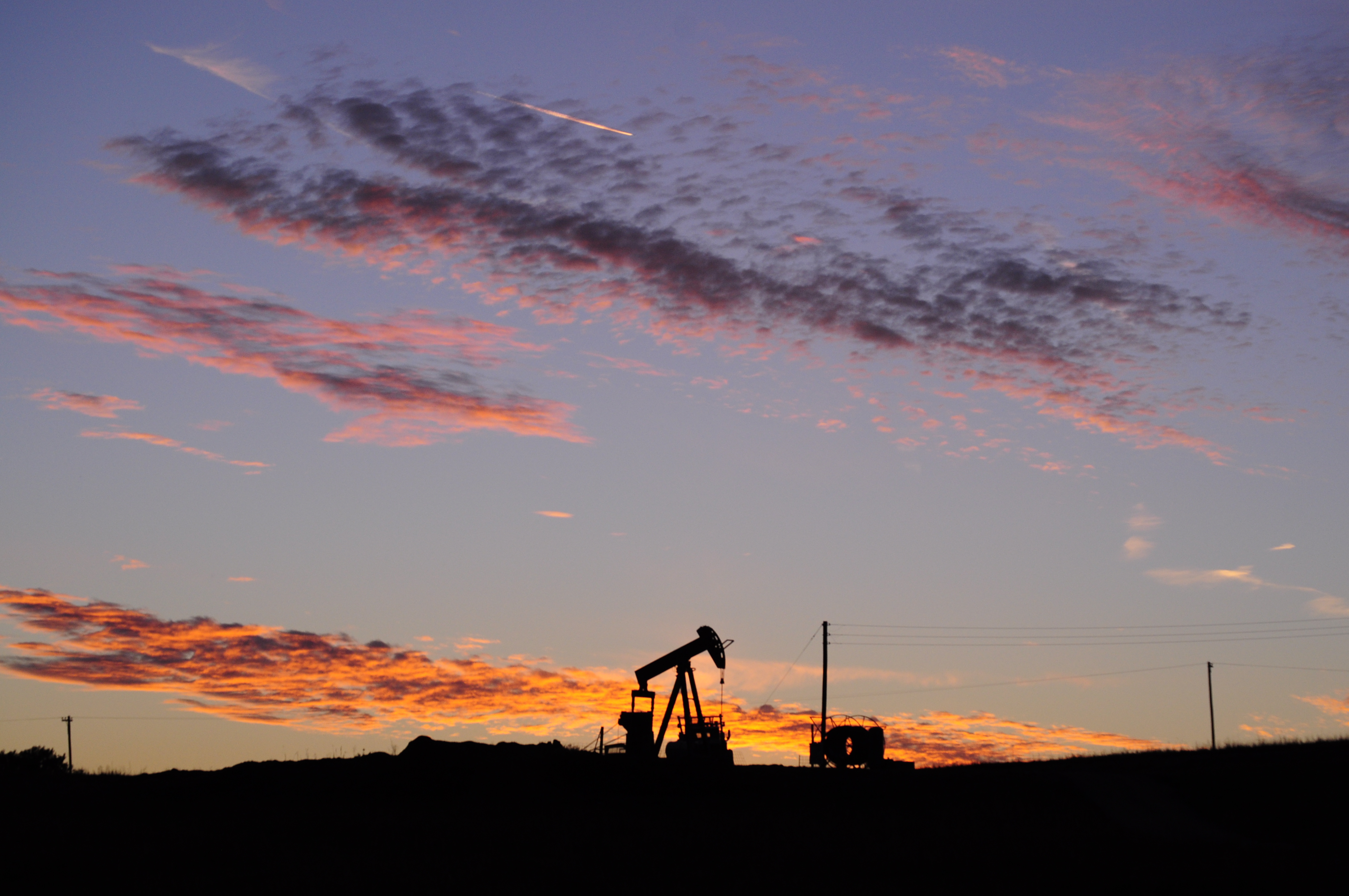
Days End by The Keeper of Lights
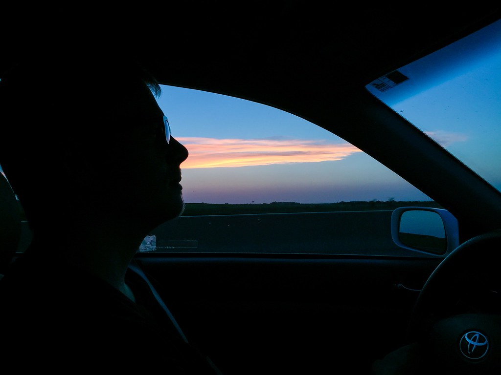
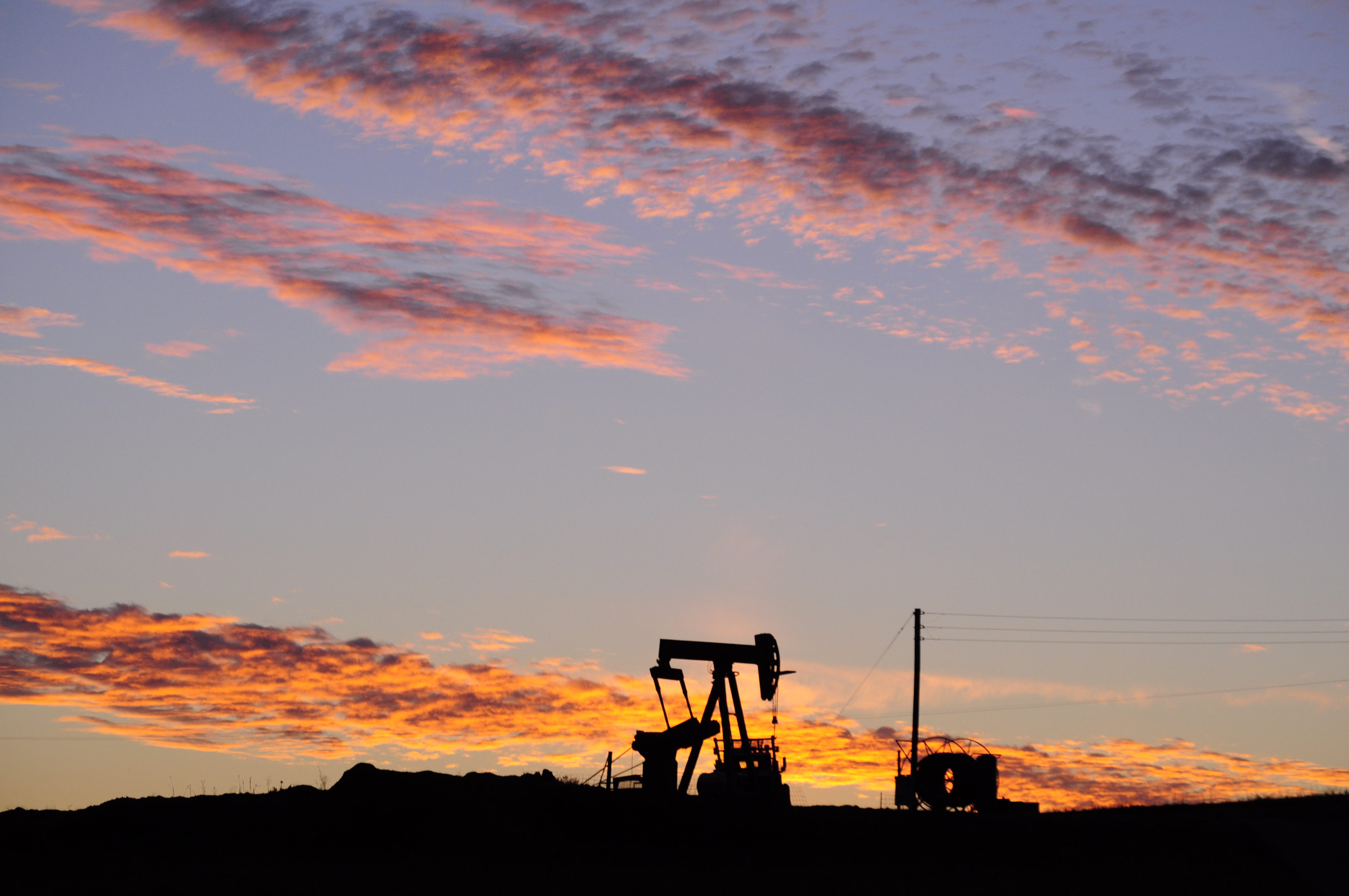
Road Trip at Dusk
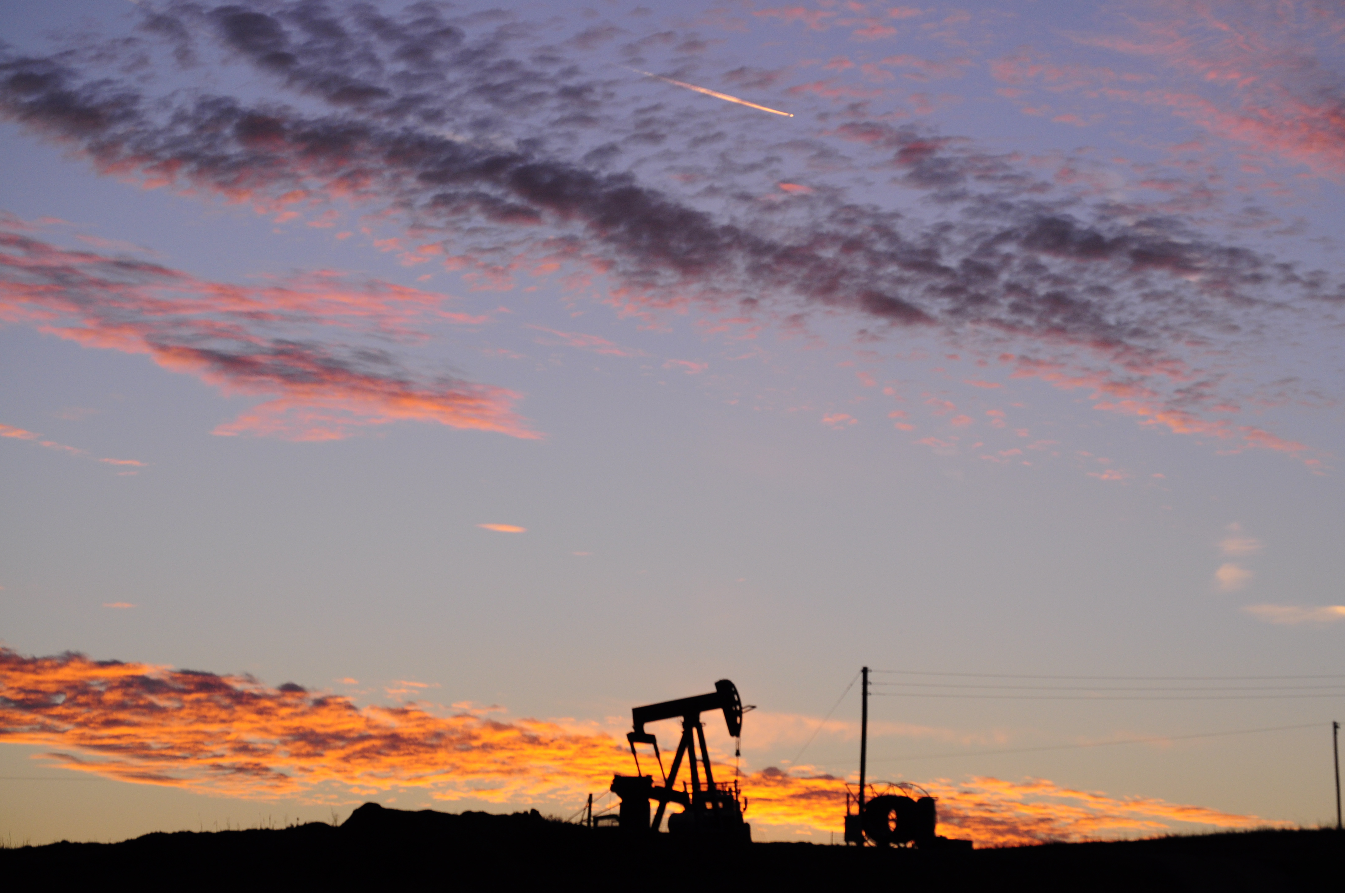
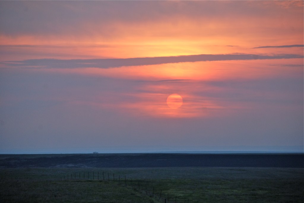
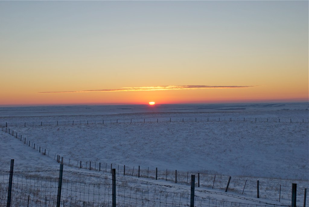
Sunrise in the Flint Hills
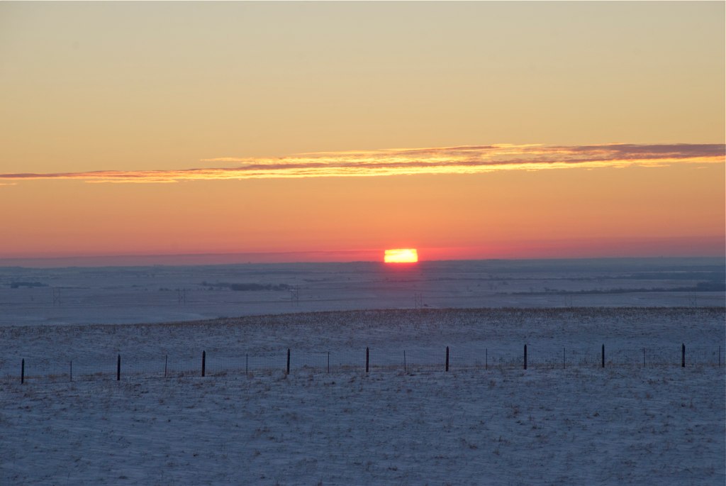
Sunrise at Zoom

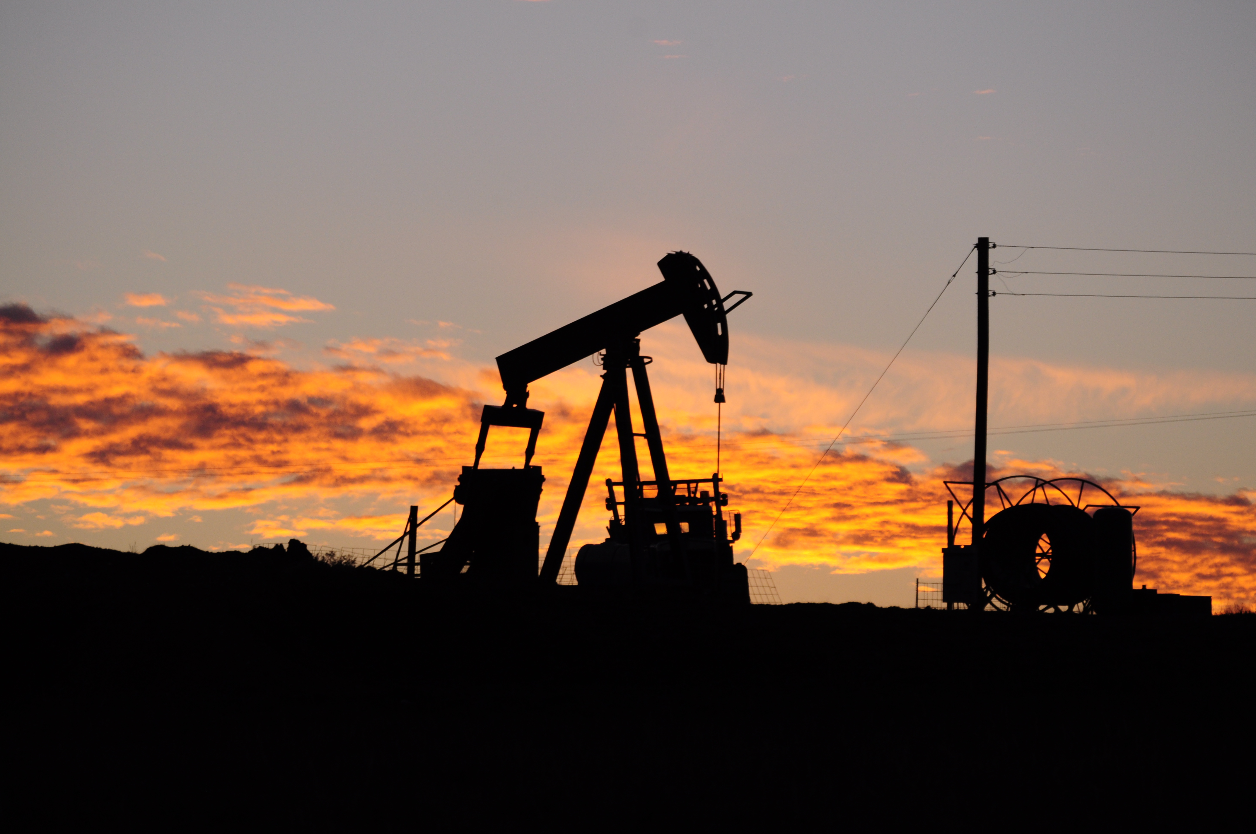
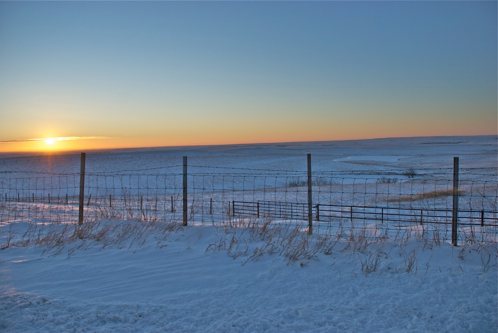
Cattle Pens cast their shadow

KTA Toll Plaza in Emporia, 22 April 2009
Sunrise at 7:19 AM

Starbucks in Emporia, 22 April 2009
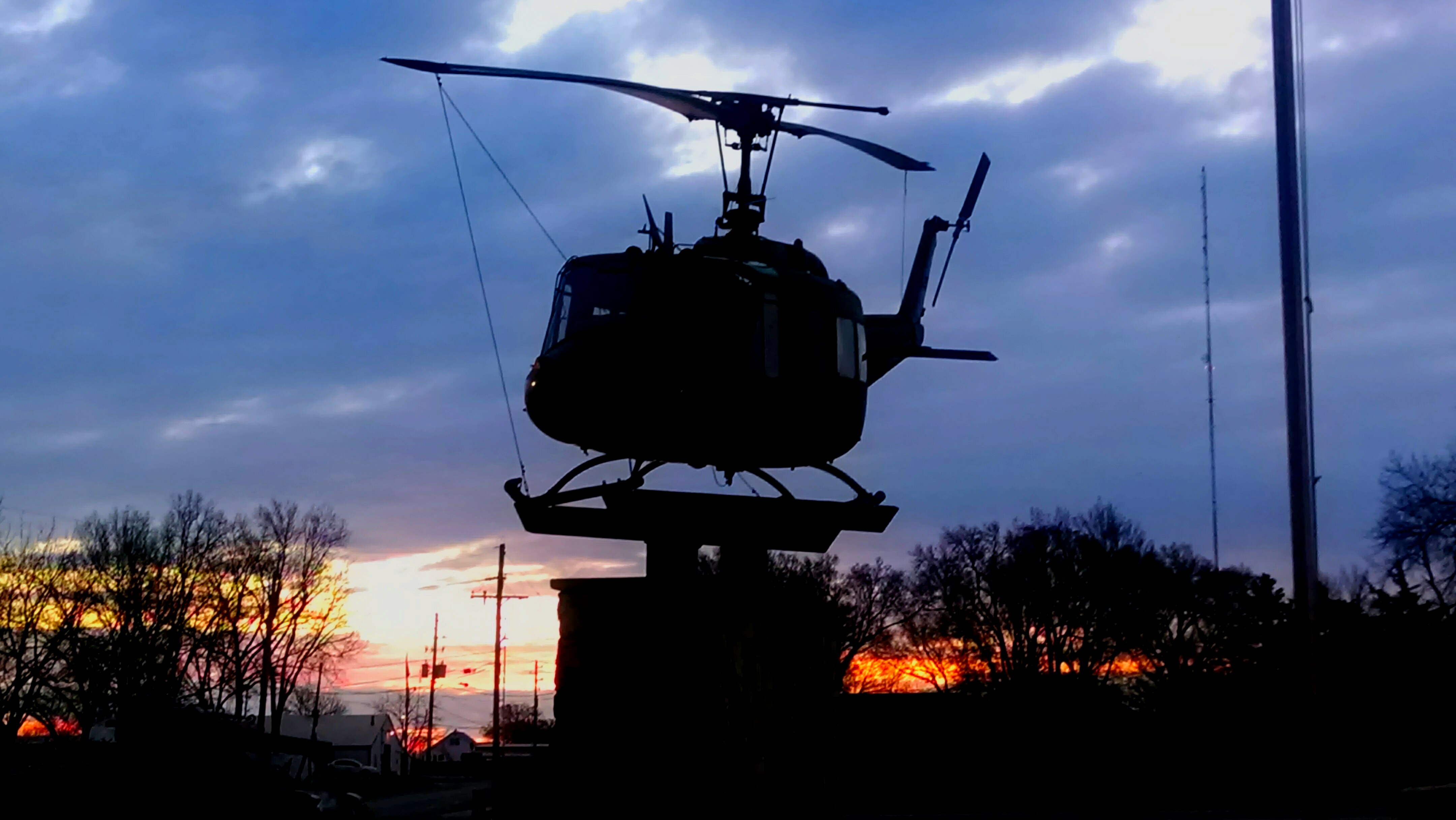
Emporia, Kansas Vetrens Park
アメリカ合衆国 〒 カンザス州 エンポーリアの地図
別の場所を検索
近所の場所
Commercial St, Emporia, KS アメリカ合衆国Jimmy John's
Commercial St, Emporia, KS アメリカ合衆国
Commercial St, Emporia, KS アメリカ合衆国Red Rocks State Historic Site
E 6th Ave, Emporia, KS アメリカ合衆国Tortas El Toro
W 6th Ave, Emporia, KS アメリカ合衆国Flint Hills Lanes
Carter St, Emporia, KS アメリカ合衆国
W 7th Ave, Emporia, KS アメリカ合衆国7th Avenue Storage
アメリカ合衆国 カンザス州 ライアン
Janice St, Emporia, KS アメリカ合衆国
Graphic Arts Rd, Emporia, KS アメリカ合衆国VFW Post
Rd M, Emporia, KS アメリカ合衆国
Rd L, Emporia, KS アメリカ合衆国
U Rd, Madison, KS アメリカ合衆国U Road
アメリカ合衆国 カンザス州 アドミア
アメリカ合衆国 〒 カンザス州 アレン
th street, Madison, KS アメリカ合衆国Leiser Construction. LLC
アメリカ合衆国 〒 カンザス州 マディソン
アメリカ合衆国 〒 カンザス州 アレン
アメリカ合衆国 カンザス州 グリーンウッドマディソン
アメリカ合衆国 カンザス州 アグネス・シティ
最近の検索
- 日本、山形県 置賜地方日の出日の入り時間
- 中華人民共和国 山西省 晋中市 楡次区日の出日の入り時間
- 4 Vale Rd, Sheffield S3 9QX イギリス日の出日の入り時間
- State St, Zanesville, OH アメリカ合衆国日の出日の入り時間
- 日本、〒- 兵庫県尼崎市塚口町1丁目日の出日の入り時間
- 日本、〒- 静岡県駿東郡小山町須走富士山本宮淺間大社 東北奧宮 久須志神社日の出日の入り時間
- Sinai St 16, Be'er Sheva, イスラエル日の出日の入り時間
- Presidente Quintana & Emilio Mitre, Carlos Keen, Provincia de Buenos Aires, アルゼンチンプレシデンテ・キンタナ & エミリオ日の出日の入り時間
- Deep Gap Farm Rd E, Mill Spring, NC, USA日の出日の入り時間
- 中華人民共和国 広東省 仏山市 南海区 九江鎮日の出日の入り時間