Ein Tamar, イスラエル日の出日の入り時間
Location: イスラエル > 南部地区 > イスラエル ベアー・シェバ >
時間帯:
Asia/Jerusalem
現地時間:
2024-05-10 01:36:17
経度:
35.37407
緯度:
30.943594
今日の日の出時刻:
05:46:09 AM
今日の日の入時刻:
07:23:38 PM
今日の日長:
13h 37m 29s
明日の日の出時刻:
05:45:26 AM
明日の日の入時刻:
07:24:19 PM
明日の日長:
13h 38m 53s
すべて表示する
| 日付 | 日出 | 日没 | 日長 |
|---|---|---|---|
| 2024年01月01日 | 06:36:27 AM | 04:47:30 PM | 10h 11m 3s |
| 2024年01月02日 | 06:36:40 AM | 04:48:13 PM | 10h 11m 33s |
| 2024年01月03日 | 06:36:52 AM | 04:48:57 PM | 10h 12m 5s |
| 2024年01月04日 | 06:37:02 AM | 04:49:42 PM | 10h 12m 40s |
| 2024年01月05日 | 06:37:10 AM | 04:50:28 PM | 10h 13m 18s |
| 2024年01月06日 | 06:37:16 AM | 04:51:15 PM | 10h 13m 59s |
| 2024年01月07日 | 06:37:21 AM | 04:52:02 PM | 10h 14m 41s |
| 2024年01月08日 | 06:37:24 AM | 04:52:50 PM | 10h 15m 26s |
| 2024年01月09日 | 06:37:26 AM | 04:53:39 PM | 10h 16m 13s |
| 2024年01月10日 | 06:37:25 AM | 04:54:28 PM | 10h 17m 3s |
| 2024年01月11日 | 06:37:23 AM | 04:55:18 PM | 10h 17m 55s |
| 2024年01月12日 | 06:37:20 AM | 04:56:08 PM | 10h 18m 48s |
| 2024年01月13日 | 06:37:14 AM | 04:56:59 PM | 10h 19m 45s |
| 2024年01月14日 | 06:37:07 AM | 04:57:51 PM | 10h 20m 44s |
| 2024年01月15日 | 06:36:58 AM | 04:58:43 PM | 10h 21m 45s |
| 2024年01月16日 | 06:36:47 AM | 04:59:35 PM | 10h 22m 48s |
| 2024年01月17日 | 06:36:35 AM | 05:00:27 PM | 10h 23m 52s |
| 2024年01月18日 | 06:36:21 AM | 05:01:20 PM | 10h 24m 59s |
| 2024年01月19日 | 06:36:05 AM | 05:02:13 PM | 10h 26m 8s |
| 2024年01月20日 | 06:35:48 AM | 05:03:07 PM | 10h 27m 19s |
| 2024年01月21日 | 06:35:29 AM | 05:04:00 PM | 10h 28m 31s |
| 2024年01月22日 | 06:35:08 AM | 05:04:54 PM | 10h 29m 46s |
| 2024年01月23日 | 06:34:46 AM | 05:05:47 PM | 10h 31m 1s |
| 2024年01月24日 | 06:34:22 AM | 05:06:41 PM | 10h 32m 19s |
| 2024年01月25日 | 06:33:56 AM | 05:07:35 PM | 10h 33m 39s |
| 2024年01月26日 | 06:33:29 AM | 05:08:29 PM | 10h 35m 0s |
| 2024年01月27日 | 06:33:00 AM | 05:09:22 PM | 10h 36m 22s |
| 2024年01月28日 | 06:32:30 AM | 05:10:16 PM | 10h 37m 46s |
| 2024年01月29日 | 06:31:58 AM | 05:11:10 PM | 10h 39m 12s |
| 2024年01月30日 | 06:31:25 AM | 05:12:03 PM | 10h 40m 38s |
| 2024年01月31日 | 06:30:50 AM | 05:12:57 PM | 10h 42m 7s |
| 2024年02月01日 | 06:30:14 AM | 05:13:50 PM | 10h 43m 36s |
| 2024年02月02日 | 06:29:36 AM | 05:14:43 PM | 10h 45m 7s |
| 2024年02月03日 | 06:28:57 AM | 05:15:36 PM | 10h 46m 39s |
| 2024年02月04日 | 06:28:16 AM | 05:16:28 PM | 10h 48m 12s |
| 2024年02月05日 | 06:27:34 AM | 05:17:21 PM | 10h 49m 47s |
| 2024年02月06日 | 06:26:51 AM | 05:18:13 PM | 10h 51m 22s |
| 2024年02月07日 | 06:26:06 AM | 05:19:05 PM | 10h 52m 59s |
| 2024年02月08日 | 06:25:20 AM | 05:19:56 PM | 10h 54m 36s |
| 2024年02月09日 | 06:24:33 AM | 05:20:47 PM | 10h 56m 14s |
| 2024年02月10日 | 06:23:44 AM | 05:21:38 PM | 10h 57m 54s |
| 2024年02月11日 | 06:22:54 AM | 05:22:29 PM | 10h 59m 35s |
| 2024年02月12日 | 06:22:03 AM | 05:23:19 PM | 11h 1m 16s |
| 2024年02月13日 | 06:21:11 AM | 05:24:09 PM | 11h 2m 58s |
| 2024年02月14日 | 06:20:18 AM | 05:24:59 PM | 11h 4m 41s |
| 2024年02月15日 | 06:19:24 AM | 05:25:48 PM | 11h 6m 24s |
| 2024年02月16日 | 06:18:28 AM | 05:26:37 PM | 11h 8m 9s |
| 2024年02月17日 | 06:17:32 AM | 05:27:25 PM | 11h 9m 53s |
| 2024年02月18日 | 06:16:34 AM | 05:28:13 PM | 11h 11m 39s |
| 2024年02月19日 | 06:15:36 AM | 05:29:01 PM | 11h 13m 25s |
| 2024年02月20日 | 06:14:36 AM | 05:29:49 PM | 11h 15m 13s |
| 2024年02月21日 | 06:13:36 AM | 05:30:36 PM | 11h 17m 0s |
| 2024年02月22日 | 06:12:35 AM | 05:31:22 PM | 11h 18m 47s |
| 2024年02月23日 | 06:11:33 AM | 05:32:09 PM | 11h 20m 36s |
| 2024年02月24日 | 06:10:29 AM | 05:32:54 PM | 11h 22m 25s |
| 2024年02月25日 | 06:09:26 AM | 05:33:40 PM | 11h 24m 14s |
| 2024年02月26日 | 06:08:21 AM | 05:34:25 PM | 11h 26m 4s |
| 2024年02月27日 | 06:07:16 AM | 05:35:10 PM | 11h 27m 54s |
| 2024年02月28日 | 06:06:10 AM | 05:35:54 PM | 11h 29m 44s |
| 2024年02月29日 | 06:05:03 AM | 05:36:38 PM | 11h 31m 35s |
| 2024年03月01日 | 06:03:55 AM | 05:37:22 PM | 11h 33m 27s |
| 2024年03月02日 | 06:02:47 AM | 05:38:06 PM | 11h 35m 19s |
| 2024年03月03日 | 06:01:38 AM | 05:38:49 PM | 11h 37m 11s |
| 2024年03月04日 | 06:00:29 AM | 05:39:31 PM | 11h 39m 2s |
| 2024年03月05日 | 05:59:19 AM | 05:40:14 PM | 11h 40m 55s |
| 2024年03月06日 | 05:58:09 AM | 05:40:56 PM | 11h 42m 47s |
| 2024年03月07日 | 05:56:58 AM | 05:41:38 PM | 11h 44m 40s |
| 2024年03月08日 | 05:55:47 AM | 05:42:20 PM | 11h 46m 33s |
| 2024年03月09日 | 05:54:35 AM | 05:43:01 PM | 11h 48m 26s |
| 2024年03月10日 | 05:53:23 AM | 05:43:42 PM | 11h 50m 19s |
| 2024年03月11日 | 05:52:10 AM | 05:44:23 PM | 11h 52m 13s |
| 2024年03月12日 | 05:50:57 AM | 05:45:03 PM | 11h 54m 6s |
| 2024年03月13日 | 05:49:44 AM | 05:45:44 PM | 11h 56m 0s |
| 2024年03月14日 | 05:48:31 AM | 05:46:24 PM | 11h 57m 53s |
| 2024年03月15日 | 05:47:17 AM | 05:47:04 PM | 11h 59m 47s |
| 2024年03月16日 | 05:46:03 AM | 05:47:43 PM | 12h 1m 40s |
| 2024年03月17日 | 05:44:49 AM | 05:48:23 PM | 12h 3m 34s |
| 2024年03月18日 | 05:43:34 AM | 05:49:02 PM | 12h 5m 28s |
| 2024年03月19日 | 05:42:20 AM | 05:49:42 PM | 12h 7m 22s |
| 2024年03月20日 | 05:41:05 AM | 05:50:21 PM | 12h 9m 16s |
| 2024年03月21日 | 05:39:50 AM | 05:51:00 PM | 12h 11m 10s |
| 2024年03月22日 | 05:38:36 AM | 05:51:38 PM | 12h 13m 2s |
| 2024年03月23日 | 05:37:21 AM | 05:52:17 PM | 12h 14m 56s |
| 2024年03月24日 | 05:36:06 AM | 05:52:56 PM | 12h 16m 50s |
| 2024年03月25日 | 05:34:51 AM | 05:53:34 PM | 12h 18m 43s |
| 2024年03月26日 | 05:33:37 AM | 05:54:13 PM | 12h 20m 36s |
| 2024年03月27日 | 05:32:22 AM | 05:54:51 PM | 12h 22m 29s |
| 2024年03月28日 | 05:31:07 AM | 05:55:30 PM | 12h 24m 23s |
| 2024年03月29日 | 06:29:56 AM | 06:56:06 PM | 12h 26m 10s |
| 2024年03月30日 | 06:28:42 AM | 06:56:45 PM | 12h 28m 3s |
| 2024年03月31日 | 06:27:28 AM | 06:57:23 PM | 12h 29m 55s |
| 2024年04月01日 | 06:26:14 AM | 06:58:01 PM | 12h 31m 47s |
| 2024年04月02日 | 06:25:01 AM | 06:58:40 PM | 12h 33m 39s |
| 2024年04月03日 | 06:23:47 AM | 06:59:18 PM | 12h 35m 31s |
| 2024年04月04日 | 06:22:34 AM | 06:59:56 PM | 12h 37m 22s |
| 2024年04月05日 | 06:21:22 AM | 07:00:35 PM | 12h 39m 13s |
| 2024年04月06日 | 06:20:09 AM | 07:01:13 PM | 12h 41m 4s |
| 2024年04月07日 | 06:18:58 AM | 07:01:51 PM | 12h 42m 53s |
| 2024年04月08日 | 06:17:46 AM | 07:02:30 PM | 12h 44m 44s |
| 2024年04月09日 | 06:16:35 AM | 07:03:09 PM | 12h 46m 34s |
| 2024年04月10日 | 06:15:25 AM | 07:03:47 PM | 12h 48m 22s |
| 2024年04月11日 | 06:14:15 AM | 07:04:26 PM | 12h 50m 11s |
| 2024年04月12日 | 06:13:05 AM | 07:05:05 PM | 12h 52m 0s |
| 2024年04月13日 | 06:11:56 AM | 07:05:44 PM | 12h 53m 48s |
| 2024年04月14日 | 06:10:48 AM | 07:06:23 PM | 12h 55m 35s |
| 2024年04月15日 | 06:09:40 AM | 07:07:02 PM | 12h 57m 22s |
| 2024年04月16日 | 06:08:33 AM | 07:07:41 PM | 12h 59m 8s |
| 2024年04月17日 | 06:07:26 AM | 07:08:20 PM | 13h 0m 54s |
| 2024年04月18日 | 06:06:21 AM | 07:09:00 PM | 13h 2m 39s |
| 2024年04月19日 | 06:05:16 AM | 07:09:39 PM | 13h 4m 23s |
| 2024年04月20日 | 06:04:11 AM | 07:10:19 PM | 13h 6m 8s |
| 2024年04月21日 | 06:03:08 AM | 07:10:59 PM | 13h 7m 51s |
| 2024年04月22日 | 06:02:05 AM | 07:11:39 PM | 13h 9m 34s |
| 2024年04月23日 | 06:01:03 AM | 07:12:19 PM | 13h 11m 16s |
| 2024年04月24日 | 06:00:02 AM | 07:12:59 PM | 13h 12m 57s |
| 2024年04月25日 | 05:59:02 AM | 07:13:39 PM | 13h 14m 37s |
| 2024年04月26日 | 05:58:02 AM | 07:14:19 PM | 13h 16m 17s |
| 2024年04月27日 | 05:57:04 AM | 07:14:59 PM | 13h 17m 55s |
| 2024年04月28日 | 05:56:06 AM | 07:15:40 PM | 13h 19m 34s |
| 2024年04月29日 | 05:55:10 AM | 07:16:20 PM | 13h 21m 10s |
| 2024年04月30日 | 05:54:15 AM | 07:17:01 PM | 13h 22m 46s |
| 2024年05月01日 | 05:53:20 AM | 07:17:41 PM | 13h 24m 21s |
| 2024年05月02日 | 05:52:27 AM | 07:18:22 PM | 13h 25m 55s |
| 2024年05月03日 | 05:51:34 AM | 07:19:03 PM | 13h 27m 29s |
| 2024年05月04日 | 05:50:43 AM | 07:19:43 PM | 13h 29m 0s |
| 2024年05月05日 | 05:49:53 AM | 07:20:24 PM | 13h 30m 31s |
| 2024年05月06日 | 05:49:04 AM | 07:21:05 PM | 13h 32m 1s |
| 2024年05月07日 | 05:48:16 AM | 07:21:45 PM | 13h 33m 29s |
| 2024年05月08日 | 05:47:29 AM | 07:22:26 PM | 13h 34m 57s |
| 2024年05月09日 | 05:46:44 AM | 07:23:06 PM | 13h 36m 22s |
| 2024年05月10日 | 05:46:00 AM | 07:23:47 PM | 13h 37m 47s |
| 2024年05月11日 | 05:45:17 AM | 07:24:27 PM | 13h 39m 10s |
| 2024年05月12日 | 05:44:35 AM | 07:25:07 PM | 13h 40m 32s |
| 2024年05月13日 | 05:43:54 AM | 07:25:48 PM | 13h 41m 54s |
| 2024年05月14日 | 05:43:15 AM | 07:26:28 PM | 13h 43m 13s |
| 2024年05月15日 | 05:42:37 AM | 07:27:07 PM | 13h 44m 30s |
| 2024年05月16日 | 05:42:01 AM | 07:27:47 PM | 13h 45m 46s |
| 2024年05月17日 | 05:41:26 AM | 07:28:26 PM | 13h 47m 0s |
| 2024年05月18日 | 05:40:52 AM | 07:29:05 PM | 13h 48m 13s |
| 2024年05月19日 | 05:40:19 AM | 07:29:44 PM | 13h 49m 25s |
| 2024年05月20日 | 05:39:48 AM | 07:30:23 PM | 13h 50m 35s |
| 2024年05月21日 | 05:39:19 AM | 07:31:01 PM | 13h 51m 42s |
| 2024年05月22日 | 05:38:50 AM | 07:31:39 PM | 13h 52m 49s |
| 2024年05月23日 | 05:38:23 AM | 07:32:16 PM | 13h 53m 53s |
| 2024年05月24日 | 05:37:58 AM | 07:32:53 PM | 13h 54m 55s |
| 2024年05月25日 | 05:37:34 AM | 07:33:30 PM | 13h 55m 56s |
| 2024年05月26日 | 05:37:11 AM | 07:34:06 PM | 13h 56m 55s |
| 2024年05月27日 | 05:36:50 AM | 07:34:42 PM | 13h 57m 52s |
| 2024年05月28日 | 05:36:31 AM | 07:35:17 PM | 13h 58m 46s |
| 2024年05月29日 | 05:36:12 AM | 07:35:51 PM | 13h 59m 39s |
| 2024年05月30日 | 05:35:56 AM | 07:36:25 PM | 14h 0m 29s |
| 2024年05月31日 | 05:35:40 AM | 07:36:58 PM | 14h 1m 18s |
| 2024年06月01日 | 05:35:27 AM | 07:37:31 PM | 14h 2m 4s |
| 2024年06月02日 | 05:35:14 AM | 07:38:03 PM | 14h 2m 49s |
| 2024年06月03日 | 05:35:03 AM | 07:38:34 PM | 14h 3m 31s |
| 2024年06月04日 | 05:34:54 AM | 07:39:04 PM | 14h 4m 10s |
| 2024年06月05日 | 05:34:46 AM | 07:39:34 PM | 14h 4m 48s |
| 2024年06月06日 | 05:34:39 AM | 07:40:02 PM | 14h 5m 23s |
| 2024年06月07日 | 05:34:34 AM | 07:40:30 PM | 14h 5m 56s |
| 2024年06月08日 | 05:34:31 AM | 07:40:57 PM | 14h 6m 26s |
| 2024年06月09日 | 05:34:28 AM | 07:41:23 PM | 14h 6m 55s |
| 2024年06月10日 | 05:34:27 AM | 07:41:48 PM | 14h 7m 21s |
| 2024年06月11日 | 05:34:28 AM | 07:42:12 PM | 14h 7m 44s |
| 2024年06月12日 | 05:34:30 AM | 07:42:35 PM | 14h 8m 5s |
| 2024年06月13日 | 05:34:33 AM | 07:42:57 PM | 14h 8m 24s |
| 2024年06月14日 | 05:34:38 AM | 07:43:18 PM | 14h 8m 40s |
| 2024年06月15日 | 05:34:44 AM | 07:43:38 PM | 14h 8m 54s |
| 2024年06月16日 | 05:34:51 AM | 07:43:56 PM | 14h 9m 5s |
| 2024年06月17日 | 05:35:00 AM | 07:44:14 PM | 14h 9m 14s |
| 2024年06月18日 | 05:35:10 AM | 07:44:30 PM | 14h 9m 20s |
| 2024年06月19日 | 05:35:21 AM | 07:44:45 PM | 14h 9m 24s |
| 2024年06月20日 | 05:35:33 AM | 07:44:59 PM | 14h 9m 26s |
| 2024年06月21日 | 05:35:47 AM | 07:45:12 PM | 14h 9m 25s |
| 2024年06月22日 | 05:36:01 AM | 07:45:23 PM | 14h 9m 22s |
| 2024年06月23日 | 05:36:17 AM | 07:45:33 PM | 14h 9m 16s |
| 2024年06月24日 | 05:36:34 AM | 07:45:41 PM | 14h 9m 7s |
| 2024年06月25日 | 05:36:52 AM | 07:45:49 PM | 14h 8m 57s |
| 2024年06月26日 | 05:37:12 AM | 07:45:54 PM | 14h 8m 42s |
| 2024年06月27日 | 05:37:32 AM | 07:45:59 PM | 14h 8m 27s |
| 2024年06月28日 | 05:37:53 AM | 07:46:02 PM | 14h 8m 9s |
| 2024年06月29日 | 05:38:16 AM | 07:46:04 PM | 14h 7m 48s |
| 2024年06月30日 | 05:38:39 AM | 07:46:04 PM | 14h 7m 25s |
| 2024年07月01日 | 05:39:03 AM | 07:46:02 PM | 14h 6m 59s |
| 2024年07月02日 | 05:39:28 AM | 07:46:00 PM | 14h 6m 32s |
| 2024年07月03日 | 05:39:54 AM | 07:45:56 PM | 14h 6m 2s |
| 2024年07月04日 | 05:40:21 AM | 07:45:50 PM | 14h 5m 29s |
| 2024年07月05日 | 05:40:48 AM | 07:45:43 PM | 14h 4m 55s |
| 2024年07月06日 | 05:41:17 AM | 07:45:34 PM | 14h 4m 17s |
| 2024年07月07日 | 05:41:46 AM | 07:45:24 PM | 14h 3m 38s |
| 2024年07月08日 | 05:42:16 AM | 07:45:12 PM | 14h 2m 56s |
| 2024年07月09日 | 05:42:46 AM | 07:44:59 PM | 14h 2m 13s |
| 2024年07月10日 | 05:43:17 AM | 07:44:45 PM | 14h 1m 28s |
| 2024年07月11日 | 05:43:49 AM | 07:44:29 PM | 14h 0m 40s |
| 2024年07月12日 | 05:44:21 AM | 07:44:11 PM | 13h 59m 50s |
| 2024年07月13日 | 05:44:54 AM | 07:43:52 PM | 13h 58m 58s |
| 2024年07月14日 | 05:45:27 AM | 07:43:31 PM | 13h 58m 4s |
| 2024年07月15日 | 05:46:01 AM | 07:43:09 PM | 13h 57m 8s |
| 2024年07月16日 | 05:46:35 AM | 07:42:46 PM | 13h 56m 11s |
| 2024年07月17日 | 05:47:10 AM | 07:42:21 PM | 13h 55m 11s |
| 2024年07月18日 | 05:47:45 AM | 07:41:54 PM | 13h 54m 9s |
| 2024年07月19日 | 05:48:20 AM | 07:41:26 PM | 13h 53m 6s |
| 2024年07月20日 | 05:48:56 AM | 07:40:57 PM | 13h 52m 1s |
| 2024年07月21日 | 05:49:32 AM | 07:40:26 PM | 13h 50m 54s |
| 2024年07月22日 | 05:50:08 AM | 07:39:53 PM | 13h 49m 45s |
| 2024年07月23日 | 05:50:45 AM | 07:39:20 PM | 13h 48m 35s |
| 2024年07月24日 | 05:51:22 AM | 07:38:45 PM | 13h 47m 23s |
| 2024年07月25日 | 05:51:59 AM | 07:38:08 PM | 13h 46m 9s |
| 2024年07月26日 | 05:52:36 AM | 07:37:30 PM | 13h 44m 54s |
| 2024年07月27日 | 05:53:13 AM | 07:36:51 PM | 13h 43m 38s |
| 2024年07月28日 | 05:53:50 AM | 07:36:11 PM | 13h 42m 21s |
| 2024年07月29日 | 05:54:28 AM | 07:35:29 PM | 13h 41m 1s |
| 2024年07月30日 | 05:55:05 AM | 07:34:46 PM | 13h 39m 41s |
| 2024年07月31日 | 05:55:43 AM | 07:34:01 PM | 13h 38m 18s |
| 2024年08月01日 | 05:56:21 AM | 07:33:16 PM | 13h 36m 55s |
| 2024年08月02日 | 05:56:59 AM | 07:32:29 PM | 13h 35m 30s |
| 2024年08月03日 | 05:57:36 AM | 07:31:40 PM | 13h 34m 4s |
| 2024年08月04日 | 05:58:14 AM | 07:30:51 PM | 13h 32m 37s |
| 2024年08月05日 | 05:58:52 AM | 07:30:01 PM | 13h 31m 9s |
| 2024年08月06日 | 05:59:29 AM | 07:29:09 PM | 13h 29m 40s |
| 2024年08月07日 | 06:00:07 AM | 07:28:16 PM | 13h 28m 9s |
| 2024年08月08日 | 06:00:45 AM | 07:27:22 PM | 13h 26m 37s |
| 2024年08月09日 | 06:01:22 AM | 07:26:27 PM | 13h 25m 5s |
| 2024年08月10日 | 06:01:59 AM | 07:25:31 PM | 13h 23m 32s |
| 2024年08月11日 | 06:02:37 AM | 07:24:34 PM | 13h 21m 57s |
| 2024年08月12日 | 06:03:14 AM | 07:23:36 PM | 13h 20m 22s |
| 2024年08月13日 | 06:03:51 AM | 07:22:37 PM | 13h 18m 46s |
| 2024年08月14日 | 06:04:28 AM | 07:21:37 PM | 13h 17m 9s |
| 2024年08月15日 | 06:05:05 AM | 07:20:36 PM | 13h 15m 31s |
| 2024年08月16日 | 06:05:42 AM | 07:19:34 PM | 13h 13m 52s |
| 2024年08月17日 | 06:06:18 AM | 07:18:31 PM | 13h 12m 13s |
| 2024年08月18日 | 06:06:55 AM | 07:17:27 PM | 13h 10m 32s |
| 2024年08月19日 | 06:07:31 AM | 07:16:23 PM | 13h 8m 52s |
| 2024年08月20日 | 06:08:07 AM | 07:15:17 PM | 13h 7m 10s |
| 2024年08月21日 | 06:08:43 AM | 07:14:11 PM | 13h 5m 28s |
| 2024年08月22日 | 06:09:19 AM | 07:13:04 PM | 13h 3m 45s |
| 2024年08月23日 | 06:09:55 AM | 07:11:57 PM | 13h 2m 2s |
| 2024年08月24日 | 06:10:31 AM | 07:10:48 PM | 13h 0m 17s |
| 2024年08月25日 | 06:11:06 AM | 07:09:39 PM | 12h 58m 33s |
| 2024年08月26日 | 06:11:42 AM | 07:08:30 PM | 12h 56m 48s |
| 2024年08月27日 | 06:12:17 AM | 07:07:19 PM | 12h 55m 2s |
| 2024年08月28日 | 06:12:52 AM | 07:06:08 PM | 12h 53m 16s |
| 2024年08月29日 | 06:13:27 AM | 07:04:57 PM | 12h 51m 30s |
| 2024年08月30日 | 06:14:02 AM | 07:03:45 PM | 12h 49m 43s |
| 2024年08月31日 | 06:14:37 AM | 07:02:32 PM | 12h 47m 55s |
| 2024年09月01日 | 06:15:11 AM | 07:01:19 PM | 12h 46m 8s |
| 2024年09月02日 | 06:15:46 AM | 07:00:06 PM | 12h 44m 20s |
| 2024年09月03日 | 06:16:20 AM | 06:58:52 PM | 12h 42m 32s |
| 2024年09月04日 | 06:16:55 AM | 06:57:37 PM | 12h 40m 42s |
| 2024年09月05日 | 06:17:29 AM | 06:56:23 PM | 12h 38m 54s |
| 2024年09月06日 | 06:18:04 AM | 06:55:07 PM | 12h 37m 3s |
| 2024年09月07日 | 06:18:38 AM | 06:53:52 PM | 12h 35m 14s |
| 2024年09月08日 | 06:19:12 AM | 06:52:36 PM | 12h 33m 24s |
| 2024年09月09日 | 06:19:46 AM | 06:51:20 PM | 12h 31m 34s |
| 2024年09月10日 | 06:20:20 AM | 06:50:04 PM | 12h 29m 44s |
| 2024年09月11日 | 06:20:54 AM | 06:48:48 PM | 12h 27m 54s |
| 2024年09月12日 | 06:21:29 AM | 06:47:31 PM | 12h 26m 2s |
| 2024年09月13日 | 06:22:03 AM | 06:46:14 PM | 12h 24m 11s |
| 2024年09月14日 | 06:22:37 AM | 06:44:57 PM | 12h 22m 20s |
| 2024年09月15日 | 06:23:11 AM | 06:43:40 PM | 12h 20m 29s |
| 2024年09月16日 | 06:23:46 AM | 06:42:23 PM | 12h 18m 37s |
| 2024年09月17日 | 06:24:20 AM | 06:41:05 PM | 12h 16m 45s |
| 2024年09月18日 | 06:24:54 AM | 06:39:48 PM | 12h 14m 54s |
| 2024年09月19日 | 06:25:29 AM | 06:38:31 PM | 12h 13m 2s |
| 2024年09月20日 | 06:26:03 AM | 06:37:14 PM | 12h 11m 11s |
| 2024年09月21日 | 06:26:38 AM | 06:35:57 PM | 12h 9m 19s |
| 2024年09月22日 | 06:27:13 AM | 06:34:39 PM | 12h 7m 26s |
| 2024年09月23日 | 06:27:48 AM | 06:33:22 PM | 12h 5m 34s |
| 2024年09月24日 | 06:28:23 AM | 06:32:06 PM | 12h 3m 43s |
| 2024年09月25日 | 06:28:58 AM | 06:30:49 PM | 12h 1m 51s |
| 2024年09月26日 | 06:29:34 AM | 06:29:32 PM | 11h 59m 58s |
| 2024年09月27日 | 06:30:10 AM | 06:28:16 PM | 11h 58m 6s |
| 2024年09月28日 | 06:30:45 AM | 06:27:00 PM | 11h 56m 15s |
| 2024年09月29日 | 06:31:22 AM | 06:25:44 PM | 11h 54m 22s |
| 2024年09月30日 | 06:31:58 AM | 06:24:29 PM | 11h 52m 31s |
| 2024年10月01日 | 06:32:34 AM | 06:23:14 PM | 11h 50m 40s |
| 2024年10月02日 | 06:33:11 AM | 06:21:59 PM | 11h 48m 48s |
| 2024年10月03日 | 06:33:48 AM | 06:20:45 PM | 11h 46m 57s |
| 2024年10月04日 | 06:34:26 AM | 06:19:31 PM | 11h 45m 5s |
| 2024年10月05日 | 06:35:03 AM | 06:18:17 PM | 11h 43m 14s |
| 2024年10月06日 | 06:35:41 AM | 06:17:04 PM | 11h 41m 23s |
| 2024年10月07日 | 06:36:20 AM | 06:15:52 PM | 11h 39m 32s |
| 2024年10月08日 | 06:36:58 AM | 06:14:40 PM | 11h 37m 42s |
| 2024年10月09日 | 06:37:37 AM | 06:13:29 PM | 11h 35m 52s |
| 2024年10月10日 | 06:38:16 AM | 06:12:18 PM | 11h 34m 2s |
| 2024年10月11日 | 06:38:56 AM | 06:11:08 PM | 11h 32m 12s |
| 2024年10月12日 | 06:39:36 AM | 06:09:58 PM | 11h 30m 22s |
| 2024年10月13日 | 06:40:16 AM | 06:08:50 PM | 11h 28m 34s |
| 2024年10月14日 | 06:40:57 AM | 06:07:41 PM | 11h 26m 44s |
| 2024年10月15日 | 06:41:38 AM | 06:06:34 PM | 11h 24m 56s |
| 2024年10月16日 | 06:42:19 AM | 06:05:28 PM | 11h 23m 9s |
| 2024年10月17日 | 06:43:01 AM | 06:04:22 PM | 11h 21m 21s |
| 2024年10月18日 | 06:43:43 AM | 06:03:17 PM | 11h 19m 34s |
| 2024年10月19日 | 06:44:26 AM | 06:02:13 PM | 11h 17m 47s |
| 2024年10月20日 | 06:45:09 AM | 06:01:10 PM | 11h 16m 1s |
| 2024年10月21日 | 06:45:52 AM | 06:00:07 PM | 11h 14m 15s |
| 2024年10月22日 | 06:46:36 AM | 05:59:06 PM | 11h 12m 30s |
| 2024年10月23日 | 06:47:20 AM | 05:58:06 PM | 11h 10m 46s |
| 2024年10月24日 | 06:48:05 AM | 05:57:06 PM | 11h 9m 1s |
| 2024年10月25日 | 06:48:50 AM | 05:56:08 PM | 11h 7m 18s |
| 2024年10月26日 | 06:49:35 AM | 05:55:11 PM | 11h 5m 36s |
| 2024年10月27日 | 05:50:23 AM | 04:54:12 PM | 11h 3m 49s |
| 2024年10月28日 | 05:51:09 AM | 04:53:17 PM | 11h 2m 8s |
| 2024年10月29日 | 05:51:56 AM | 04:52:24 PM | 11h 0m 28s |
| 2024年10月30日 | 05:52:43 AM | 04:51:31 PM | 10h 58m 48s |
| 2024年10月31日 | 05:53:30 AM | 04:50:40 PM | 10h 57m 10s |
| 2024年11月01日 | 05:54:18 AM | 04:49:49 PM | 10h 55m 31s |
| 2024年11月02日 | 05:55:06 AM | 04:49:00 PM | 10h 53m 54s |
| 2024年11月03日 | 05:55:54 AM | 04:48:13 PM | 10h 52m 19s |
| 2024年11月04日 | 05:56:43 AM | 04:47:27 PM | 10h 50m 44s |
| 2024年11月05日 | 05:57:32 AM | 04:46:42 PM | 10h 49m 10s |
| 2024年11月06日 | 05:58:21 AM | 04:45:58 PM | 10h 47m 37s |
| 2024年11月07日 | 05:59:11 AM | 04:45:16 PM | 10h 46m 5s |
| 2024年11月08日 | 06:00:01 AM | 04:44:35 PM | 10h 44m 34s |
| 2024年11月09日 | 06:00:51 AM | 04:43:56 PM | 10h 43m 5s |
| 2024年11月10日 | 06:01:41 AM | 04:43:18 PM | 10h 41m 37s |
| 2024年11月11日 | 06:02:32 AM | 04:42:41 PM | 10h 40m 9s |
| 2024年11月12日 | 06:03:23 AM | 04:42:07 PM | 10h 38m 44s |
| 2024年11月13日 | 06:04:14 AM | 04:41:33 PM | 10h 37m 19s |
| 2024年11月14日 | 06:05:05 AM | 04:41:02 PM | 10h 35m 57s |
| 2024年11月15日 | 06:05:56 AM | 04:40:31 PM | 10h 34m 35s |
| 2024年11月16日 | 06:06:47 AM | 04:40:03 PM | 10h 33m 16s |
| 2024年11月17日 | 06:07:38 AM | 04:39:36 PM | 10h 31m 58s |
| 2024年11月18日 | 06:08:30 AM | 04:39:10 PM | 10h 30m 40s |
| 2024年11月19日 | 06:09:21 AM | 04:38:47 PM | 10h 29m 26s |
| 2024年11月20日 | 06:10:12 AM | 04:38:25 PM | 10h 28m 13s |
| 2024年11月21日 | 06:11:03 AM | 04:38:04 PM | 10h 27m 1s |
| 2024年11月22日 | 06:11:54 AM | 04:37:46 PM | 10h 25m 52s |
| 2024年11月23日 | 06:12:45 AM | 04:37:29 PM | 10h 24m 44s |
| 2024年11月24日 | 06:13:36 AM | 04:37:14 PM | 10h 23m 38s |
| 2024年11月25日 | 06:14:26 AM | 04:37:00 PM | 10h 22m 34s |
| 2024年11月26日 | 06:15:17 AM | 04:36:49 PM | 10h 21m 32s |
| 2024年11月27日 | 06:16:07 AM | 04:36:39 PM | 10h 20m 32s |
| 2024年11月28日 | 06:16:56 AM | 04:36:30 PM | 10h 19m 34s |
| 2024年11月29日 | 06:17:45 AM | 04:36:24 PM | 10h 18m 39s |
| 2024年11月30日 | 06:18:34 AM | 04:36:19 PM | 10h 17m 45s |
| 2024年12月01日 | 06:19:22 AM | 04:36:16 PM | 10h 16m 54s |
| 2024年12月02日 | 06:20:10 AM | 04:36:15 PM | 10h 16m 5s |
| 2024年12月03日 | 06:20:58 AM | 04:36:15 PM | 10h 15m 17s |
| 2024年12月04日 | 06:21:44 AM | 04:36:18 PM | 10h 14m 34s |
| 2024年12月05日 | 06:22:30 AM | 04:36:22 PM | 10h 13m 52s |
| 2024年12月06日 | 06:23:16 AM | 04:36:28 PM | 10h 13m 12s |
| 2024年12月07日 | 06:24:00 AM | 04:36:35 PM | 10h 12m 35s |
| 2024年12月08日 | 06:24:44 AM | 04:36:44 PM | 10h 12m 0s |
| 2024年12月09日 | 06:25:27 AM | 04:36:55 PM | 10h 11m 28s |
| 2024年12月10日 | 06:26:09 AM | 04:37:08 PM | 10h 10m 59s |
| 2024年12月11日 | 06:26:50 AM | 04:37:22 PM | 10h 10m 32s |
| 2024年12月12日 | 06:27:31 AM | 04:37:38 PM | 10h 10m 7s |
| 2024年12月13日 | 06:28:10 AM | 04:37:56 PM | 10h 9m 46s |
| 2024年12月14日 | 06:28:48 AM | 04:38:15 PM | 10h 9m 27s |
| 2024年12月15日 | 06:29:25 AM | 04:38:35 PM | 10h 9m 10s |
| 2024年12月16日 | 06:30:02 AM | 04:38:58 PM | 10h 8m 56s |
| 2024年12月17日 | 06:30:36 AM | 04:39:22 PM | 10h 8m 46s |
| 2024年12月18日 | 06:31:10 AM | 04:39:47 PM | 10h 8m 37s |
| 2024年12月19日 | 06:31:43 AM | 04:40:14 PM | 10h 8m 31s |
| 2024年12月20日 | 06:32:14 AM | 04:40:42 PM | 10h 8m 28s |
| 2024年12月21日 | 06:32:44 AM | 04:41:12 PM | 10h 8m 28s |
| 2024年12月22日 | 06:33:12 AM | 04:41:43 PM | 10h 8m 31s |
| 2024年12月23日 | 06:33:40 AM | 04:42:16 PM | 10h 8m 36s |
| 2024年12月24日 | 06:34:05 AM | 04:42:49 PM | 10h 8m 44s |
| 2024年12月25日 | 06:34:30 AM | 04:43:24 PM | 10h 8m 54s |
| 2024年12月26日 | 06:34:52 AM | 04:44:01 PM | 10h 9m 9s |
| 2024年12月27日 | 06:35:14 AM | 04:44:38 PM | 10h 9m 24s |
| 2024年12月28日 | 06:35:34 AM | 04:45:17 PM | 10h 9m 43s |
| 2024年12月29日 | 06:35:52 AM | 04:45:57 PM | 10h 10m 5s |
| 2024年12月30日 | 06:36:09 AM | 04:46:38 PM | 10h 10m 29s |
写真
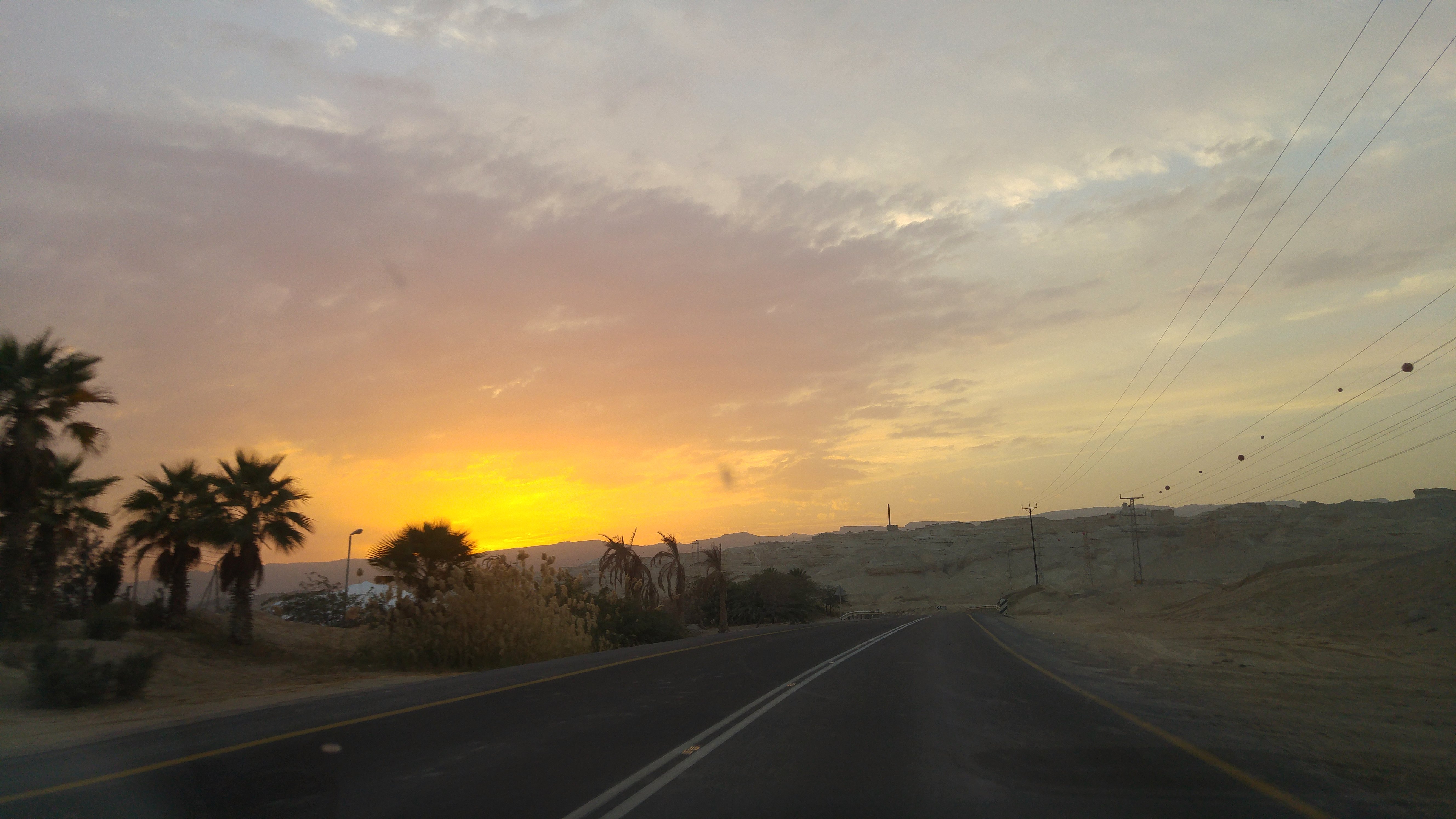
Sunset hike on Mt Sodom, Israel
2017-12-29_06-41-21

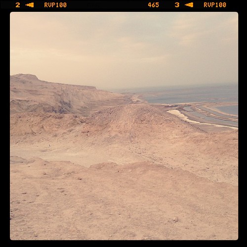
The Dead Sea
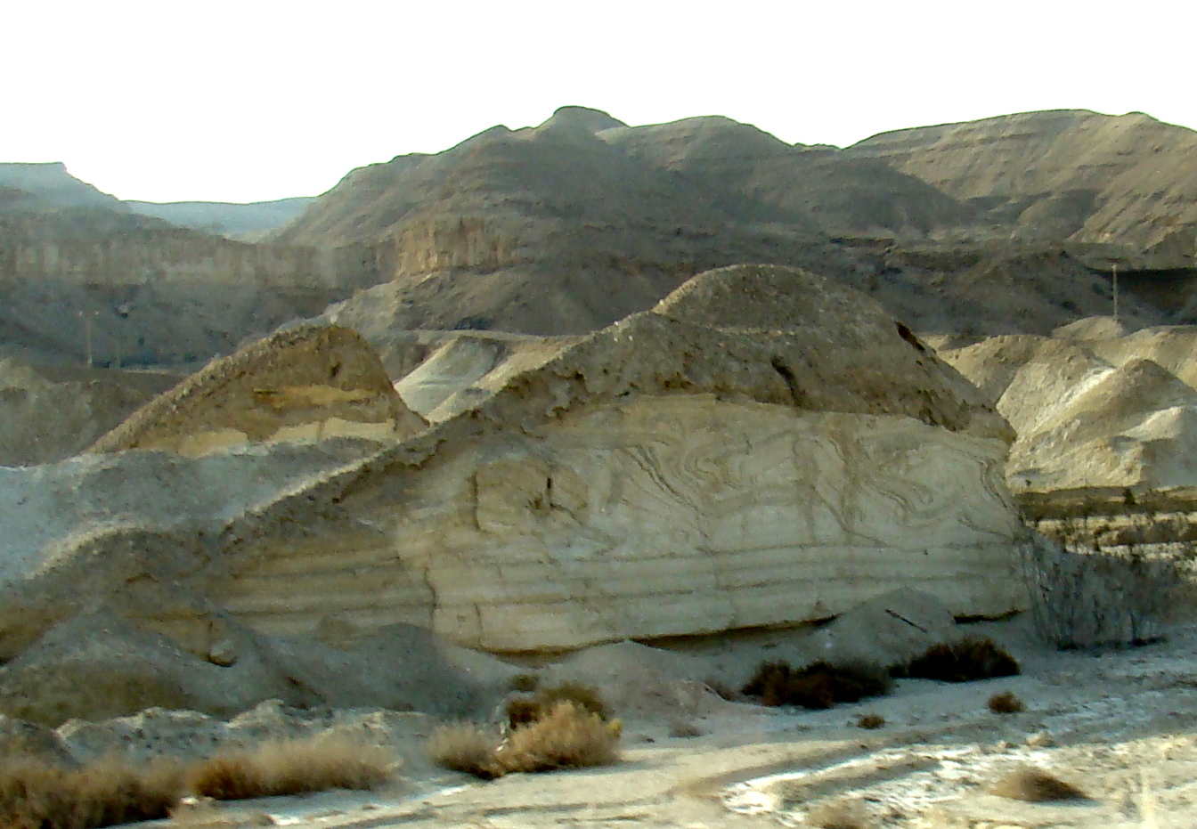
Folded layers
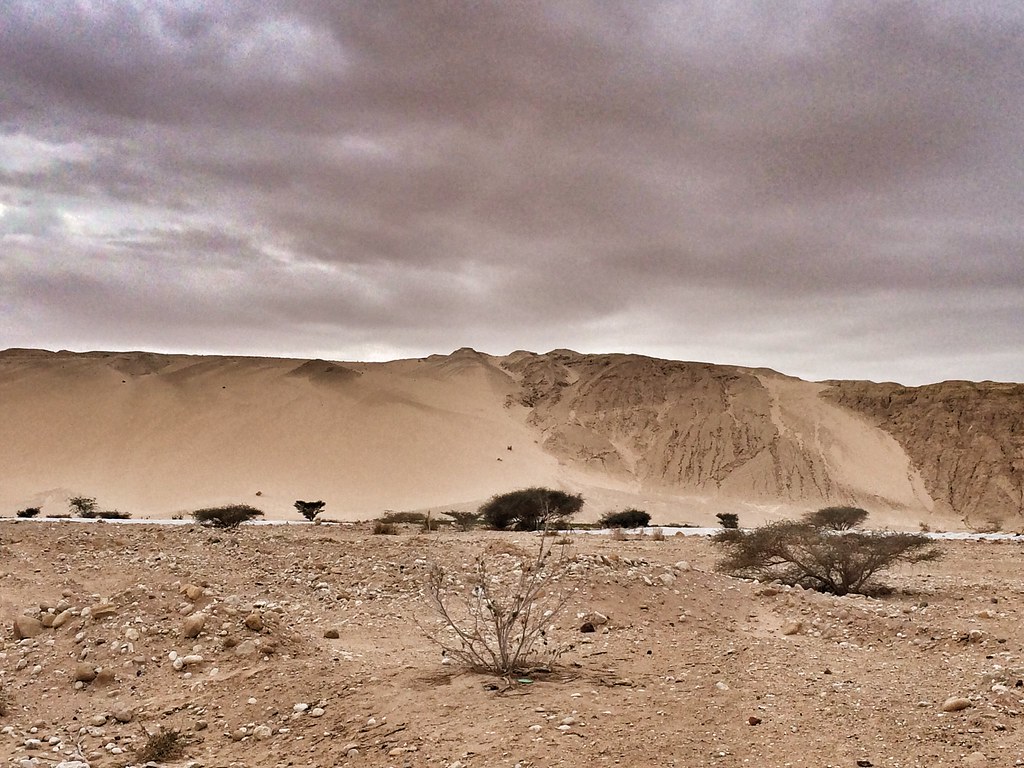
Jordan - Giordania - Wadi Rum desert camp
Jordan - Giordania - Wadi Rum desert camp

IMG_6814.JPG
IMG_6822.JPG
IMG_6824.JPG
IMG_6818_pano.JPG
IMG_6821_pano.jpg
IMG_6835.JPG
Ein Tamar, イスラエルの地図
別の場所を検索
近所の場所
イスラエル デッド・シー・リージョン
Rehov /2, Neve Zohar, イスラエルDead Sea
ים המלח, עין בוקק, イスラエルLeonardo Plaza
Neve Zohar, イスラエルHerods Dead Sea
Ein Bokek Beach
イスラエル エン・ボケック
Elazar Ben Ya'ir St 33, Arad, イスラエルBethlehem
イスラエル アラド
גן לאומי מצדה, イスラエルMasada National Park - Masada
イスラエルMasada
Israel National Trail, Arad, イスラエルイスラエル・ナショナル・トレイル
Israel National Trail, Arad, イスラエルイスラエル・ナショナル・トレイル
Ein Gedi, イスラエル
‘En Gedi
Ein Gedi, イスラエルエン・ゲディ
Carmel
ヨルダン 死海
死海
Metsoke Dragot
Dead Sea 40, AlBalqa, ヨルダンDead Sea Museum
最近の検索
- Brooks Lp, Spearfish, SD アメリカ合衆国日の出日の入り時間
- Via Buonarroti, 26, Roma RM, イタリア日の出日の入り時間
- Jais St - Wadi Shehah - Ras al Khaimah - United Arab Emirates日の出日の入り時間
- ポルトガル 〒 カルヴォエイロ ベナジル日の出日の入り時間
- W Prive Cir, Delray Beach, FL アメリカ合衆国日の出日の入り時間
- S Layton Cir W, Layton, UT, USA日の出日の入り時間
- Fairland Ave, Fairhope, AL アメリカ合衆国日の出日の入り時間
- Sunset Dr, Richmond, VA アメリカ合衆国日の出日の入り時間
- View Villa Apartments Hurghada, Al Ahyaa, Mubarak 7, Villa nr 2 Hurghada, قسم ثان الغردقة، محافظة ال日の出日の入り時間
- ベラルーシ グロドネンスキー・ライオン日の出日の入り時間