Ed Harris Rd, Ashland City, TN アメリカ合衆国日の出日の入り時間
Location: アメリカ合衆国 > テネシー州 > チーザム > アメリカ合衆国 テネシー州 アッシュランド・シティ >
時間帯:
America/Chicago
現地時間:
2024-05-07 23:34:51
経度:
-87.0702117
緯度:
36.3037401
今日の日の出時刻:
05:46:55 AM
今日の日の入時刻:
07:42:33 PM
今日の日長:
13h 55m 38s
明日の日の出時刻:
05:46:00 AM
明日の日の入時刻:
07:43:23 PM
明日の日長:
13h 57m 23s
すべて表示する
| 日付 | 日出 | 日没 | 日長 |
|---|---|---|---|
| 2024年01月01日 | 06:59:41 AM | 04:44:28 PM | 9h 44m 47s |
| 2024年01月02日 | 06:59:49 AM | 04:45:15 PM | 9h 45m 26s |
| 2024年01月03日 | 06:59:55 AM | 04:46:04 PM | 9h 46m 9s |
| 2024年01月04日 | 06:59:59 AM | 04:46:54 PM | 9h 46m 55s |
| 2024年01月05日 | 07:00:01 AM | 04:47:46 PM | 9h 47m 45s |
| 2024年01月06日 | 07:00:02 AM | 04:48:38 PM | 9h 48m 36s |
| 2024年01月07日 | 07:00:00 AM | 04:49:31 PM | 9h 49m 31s |
| 2024年01月08日 | 06:59:56 AM | 04:50:25 PM | 9h 50m 29s |
| 2024年01月09日 | 06:59:50 AM | 04:51:20 PM | 9h 51m 30s |
| 2024年01月10日 | 06:59:42 AM | 04:52:17 PM | 9h 52m 35s |
| 2024年01月11日 | 06:59:33 AM | 04:53:13 PM | 9h 53m 40s |
| 2024年01月12日 | 06:59:21 AM | 04:54:11 PM | 9h 54m 50s |
| 2024年01月13日 | 06:59:07 AM | 04:55:09 PM | 9h 56m 2s |
| 2024年01月14日 | 06:58:52 AM | 04:56:08 PM | 9h 57m 16s |
| 2024年01月15日 | 06:58:34 AM | 04:57:08 PM | 9h 58m 34s |
| 2024年01月16日 | 06:58:15 AM | 04:58:08 PM | 9h 59m 53s |
| 2024年01月17日 | 06:57:53 AM | 04:59:09 PM | 10h 1m 16s |
| 2024年01月18日 | 06:57:30 AM | 05:00:10 PM | 10h 2m 40s |
| 2024年01月19日 | 06:57:04 AM | 05:01:12 PM | 10h 4m 8s |
| 2024年01月20日 | 06:56:37 AM | 05:02:14 PM | 10h 5m 37s |
| 2024年01月21日 | 06:56:08 AM | 05:03:16 PM | 10h 7m 8s |
| 2024年01月22日 | 06:55:37 AM | 05:04:19 PM | 10h 8m 42s |
| 2024年01月23日 | 06:55:05 AM | 05:05:22 PM | 10h 10m 17s |
| 2024年01月24日 | 06:54:30 AM | 05:06:25 PM | 10h 11m 55s |
| 2024年01月25日 | 06:53:54 AM | 05:07:29 PM | 10h 13m 35s |
| 2024年01月26日 | 06:53:16 AM | 05:08:32 PM | 10h 15m 16s |
| 2024年01月27日 | 06:52:36 AM | 05:09:36 PM | 10h 17m 0s |
| 2024年01月28日 | 06:51:55 AM | 05:10:40 PM | 10h 18m 45s |
| 2024年01月29日 | 06:51:11 AM | 05:11:43 PM | 10h 20m 32s |
| 2024年01月30日 | 06:50:27 AM | 05:12:47 PM | 10h 22m 20s |
| 2024年01月31日 | 06:49:40 AM | 05:13:51 PM | 10h 24m 11s |
| 2024年02月01日 | 06:48:52 AM | 05:14:55 PM | 10h 26m 3s |
| 2024年02月02日 | 06:48:03 AM | 05:15:59 PM | 10h 27m 56s |
| 2024年02月03日 | 06:47:12 AM | 05:17:02 PM | 10h 29m 50s |
| 2024年02月04日 | 06:46:19 AM | 05:18:06 PM | 10h 31m 47s |
| 2024年02月05日 | 06:45:25 AM | 05:19:09 PM | 10h 33m 44s |
| 2024年02月06日 | 06:44:29 AM | 05:20:12 PM | 10h 35m 43s |
| 2024年02月07日 | 06:43:32 AM | 05:21:15 PM | 10h 37m 43s |
| 2024年02月08日 | 06:42:34 AM | 05:22:18 PM | 10h 39m 44s |
| 2024年02月09日 | 06:41:34 AM | 05:23:21 PM | 10h 41m 47s |
| 2024年02月10日 | 06:40:33 AM | 05:24:23 PM | 10h 43m 50s |
| 2024年02月11日 | 06:39:31 AM | 05:25:25 PM | 10h 45m 54s |
| 2024年02月12日 | 06:38:27 AM | 05:26:27 PM | 10h 48m 0s |
| 2024年02月13日 | 06:37:23 AM | 05:27:29 PM | 10h 50m 6s |
| 2024年02月14日 | 06:36:17 AM | 05:28:30 PM | 10h 52m 13s |
| 2024年02月15日 | 06:35:10 AM | 05:29:31 PM | 10h 54m 21s |
| 2024年02月16日 | 06:34:01 AM | 05:30:32 PM | 10h 56m 31s |
| 2024年02月17日 | 06:32:52 AM | 05:31:32 PM | 10h 58m 40s |
| 2024年02月18日 | 06:31:42 AM | 05:32:32 PM | 11h 0m 50s |
| 2024年02月19日 | 06:30:30 AM | 05:33:32 PM | 11h 3m 2s |
| 2024年02月20日 | 06:29:18 AM | 05:34:32 PM | 11h 5m 14s |
| 2024年02月21日 | 06:28:05 AM | 05:35:31 PM | 11h 7m 26s |
| 2024年02月22日 | 06:26:50 AM | 05:36:29 PM | 11h 9m 39s |
| 2024年02月23日 | 06:25:35 AM | 05:37:28 PM | 11h 11m 53s |
| 2024年02月24日 | 06:24:19 AM | 05:38:26 PM | 11h 14m 7s |
| 2024年02月25日 | 06:23:02 AM | 05:39:24 PM | 11h 16m 22s |
| 2024年02月26日 | 06:21:44 AM | 05:40:21 PM | 11h 18m 37s |
| 2024年02月27日 | 06:20:26 AM | 05:41:18 PM | 11h 20m 52s |
| 2024年02月28日 | 06:19:07 AM | 05:42:15 PM | 11h 23m 8s |
| 2024年02月29日 | 06:17:47 AM | 05:43:12 PM | 11h 25m 25s |
| 2024年03月01日 | 06:16:26 AM | 05:44:08 PM | 11h 27m 42s |
| 2024年03月02日 | 06:15:05 AM | 05:45:04 PM | 11h 29m 59s |
| 2024年03月03日 | 06:13:43 AM | 05:45:59 PM | 11h 32m 16s |
| 2024年03月04日 | 06:12:21 AM | 05:46:55 PM | 11h 34m 34s |
| 2024年03月05日 | 06:10:58 AM | 05:47:50 PM | 11h 36m 52s |
| 2024年03月06日 | 06:09:34 AM | 05:48:44 PM | 11h 39m 10s |
| 2024年03月07日 | 06:08:10 AM | 05:49:39 PM | 11h 41m 29s |
| 2024年03月08日 | 06:06:46 AM | 05:50:33 PM | 11h 43m 47s |
| 2024年03月09日 | 06:05:21 AM | 05:51:27 PM | 11h 46m 6s |
| 2024年03月10日 | 07:03:59 AM | 06:52:18 PM | 11h 48m 19s |
| 2024年03月11日 | 07:02:34 AM | 06:53:12 PM | 11h 50m 38s |
| 2024年03月12日 | 07:01:08 AM | 06:54:05 PM | 11h 52m 57s |
| 2024年03月13日 | 06:59:42 AM | 06:54:58 PM | 11h 55m 16s |
| 2024年03月14日 | 06:58:15 AM | 06:55:51 PM | 11h 57m 36s |
| 2024年03月15日 | 06:56:48 AM | 06:56:44 PM | 11h 59m 56s |
| 2024年03月16日 | 06:55:22 AM | 06:57:36 PM | 12h 2m 14s |
| 2024年03月17日 | 06:53:54 AM | 06:58:28 PM | 12h 4m 34s |
| 2024年03月18日 | 06:52:27 AM | 06:59:20 PM | 12h 6m 53s |
| 2024年03月19日 | 06:51:00 AM | 07:00:12 PM | 12h 9m 12s |
| 2024年03月20日 | 06:49:32 AM | 07:01:04 PM | 12h 11m 32s |
| 2024年03月21日 | 06:48:05 AM | 07:01:56 PM | 12h 13m 51s |
| 2024年03月22日 | 06:46:37 AM | 07:02:47 PM | 12h 16m 10s |
| 2024年03月23日 | 06:45:09 AM | 07:03:39 PM | 12h 18m 30s |
| 2024年03月24日 | 06:43:42 AM | 07:04:30 PM | 12h 20m 48s |
| 2024年03月25日 | 06:42:14 AM | 07:05:22 PM | 12h 23m 8s |
| 2024年03月26日 | 06:40:47 AM | 07:06:13 PM | 12h 25m 26s |
| 2024年03月27日 | 06:39:20 AM | 07:07:04 PM | 12h 27m 44s |
| 2024年03月28日 | 06:37:52 AM | 07:07:55 PM | 12h 30m 3s |
| 2024年03月29日 | 06:36:26 AM | 07:08:46 PM | 12h 32m 20s |
| 2024年03月30日 | 06:34:59 AM | 07:09:37 PM | 12h 34m 38s |
| 2024年03月31日 | 06:33:32 AM | 07:10:28 PM | 12h 36m 56s |
| 2024年04月01日 | 06:32:06 AM | 07:11:19 PM | 12h 39m 13s |
| 2024年04月02日 | 06:30:40 AM | 07:12:10 PM | 12h 41m 30s |
| 2024年04月03日 | 06:29:14 AM | 07:13:01 PM | 12h 43m 47s |
| 2024年04月04日 | 06:27:49 AM | 07:13:52 PM | 12h 46m 3s |
| 2024年04月05日 | 06:26:24 AM | 07:14:43 PM | 12h 48m 19s |
| 2024年04月06日 | 06:24:59 AM | 07:15:34 PM | 12h 50m 35s |
| 2024年04月07日 | 06:23:35 AM | 07:16:25 PM | 12h 52m 50s |
| 2024年04月08日 | 06:22:12 AM | 07:17:16 PM | 12h 55m 4s |
| 2024年04月09日 | 06:20:48 AM | 07:18:07 PM | 12h 57m 19s |
| 2024年04月10日 | 06:19:26 AM | 07:18:58 PM | 12h 59m 32s |
| 2024年04月11日 | 06:18:04 AM | 07:19:49 PM | 13h 1m 45s |
| 2024年04月12日 | 06:16:42 AM | 07:20:41 PM | 13h 3m 59s |
| 2024年04月13日 | 06:15:21 AM | 07:21:32 PM | 13h 6m 11s |
| 2024年04月14日 | 06:14:01 AM | 07:22:23 PM | 13h 8m 22s |
| 2024年04月15日 | 06:12:42 AM | 07:23:15 PM | 13h 10m 33s |
| 2024年04月16日 | 06:11:23 AM | 07:24:06 PM | 13h 12m 43s |
| 2024年04月17日 | 06:10:05 AM | 07:24:57 PM | 13h 14m 52s |
| 2024年04月18日 | 06:08:47 AM | 07:25:49 PM | 13h 17m 2s |
| 2024年04月19日 | 06:07:31 AM | 07:26:41 PM | 13h 19m 10s |
| 2024年04月20日 | 06:06:15 AM | 07:27:32 PM | 13h 21m 17s |
| 2024年04月21日 | 06:05:00 AM | 07:28:24 PM | 13h 23m 24s |
| 2024年04月22日 | 06:03:46 AM | 07:29:16 PM | 13h 25m 30s |
| 2024年04月23日 | 06:02:33 AM | 07:30:07 PM | 13h 27m 34s |
| 2024年04月24日 | 06:01:21 AM | 07:30:59 PM | 13h 29m 38s |
| 2024年04月25日 | 06:00:10 AM | 07:31:51 PM | 13h 31m 41s |
| 2024年04月26日 | 05:59:00 AM | 07:32:43 PM | 13h 33m 43s |
| 2024年04月27日 | 05:57:50 AM | 07:33:35 PM | 13h 35m 45s |
| 2024年04月28日 | 05:56:42 AM | 07:34:26 PM | 13h 37m 44s |
| 2024年04月29日 | 05:55:35 AM | 07:35:18 PM | 13h 39m 43s |
| 2024年04月30日 | 05:54:29 AM | 07:36:10 PM | 13h 41m 41s |
| 2024年05月01日 | 05:53:24 AM | 07:37:01 PM | 13h 43m 37s |
| 2024年05月02日 | 05:52:21 AM | 07:37:53 PM | 13h 45m 32s |
| 2024年05月03日 | 05:51:18 AM | 07:38:45 PM | 13h 47m 27s |
| 2024年05月04日 | 05:50:17 AM | 07:39:36 PM | 13h 49m 19s |
| 2024年05月05日 | 05:49:17 AM | 07:40:27 PM | 13h 51m 10s |
| 2024年05月06日 | 05:48:18 AM | 07:41:18 PM | 13h 53m 0s |
| 2024年05月07日 | 05:47:21 AM | 07:42:09 PM | 13h 54m 48s |
| 2024年05月08日 | 05:46:25 AM | 07:43:00 PM | 13h 56m 35s |
| 2024年05月09日 | 05:45:30 AM | 07:43:51 PM | 13h 58m 21s |
| 2024年05月10日 | 05:44:37 AM | 07:44:41 PM | 14h 0m 4s |
| 2024年05月11日 | 05:43:45 AM | 07:45:31 PM | 14h 1m 46s |
| 2024年05月12日 | 05:42:54 AM | 07:46:21 PM | 14h 3m 27s |
| 2024年05月13日 | 05:42:05 AM | 07:47:11 PM | 14h 5m 6s |
| 2024年05月14日 | 05:41:17 AM | 07:48:00 PM | 14h 6m 43s |
| 2024年05月15日 | 05:40:31 AM | 07:48:49 PM | 14h 8m 18s |
| 2024年05月16日 | 05:39:46 AM | 07:49:37 PM | 14h 9m 51s |
| 2024年05月17日 | 05:39:03 AM | 07:50:25 PM | 14h 11m 22s |
| 2024年05月18日 | 05:38:22 AM | 07:51:13 PM | 14h 12m 51s |
| 2024年05月19日 | 05:37:42 AM | 07:52:00 PM | 14h 14m 18s |
| 2024年05月20日 | 05:37:03 AM | 07:52:47 PM | 14h 15m 44s |
| 2024年05月21日 | 05:36:27 AM | 07:53:33 PM | 14h 17m 6s |
| 2024年05月22日 | 05:35:51 AM | 07:54:18 PM | 14h 18m 27s |
| 2024年05月23日 | 05:35:18 AM | 07:55:03 PM | 14h 19m 45s |
| 2024年05月24日 | 05:34:46 AM | 07:55:47 PM | 14h 21m 1s |
| 2024年05月25日 | 05:34:16 AM | 07:56:30 PM | 14h 22m 14s |
| 2024年05月26日 | 05:33:47 AM | 07:57:13 PM | 14h 23m 26s |
| 2024年05月27日 | 05:33:20 AM | 07:57:55 PM | 14h 24m 35s |
| 2024年05月28日 | 05:32:55 AM | 07:58:36 PM | 14h 25m 41s |
| 2024年05月29日 | 05:32:31 AM | 07:59:17 PM | 14h 26m 46s |
| 2024年05月30日 | 05:32:10 AM | 07:59:56 PM | 14h 27m 46s |
| 2024年05月31日 | 05:31:50 AM | 08:00:35 PM | 14h 28m 45s |
| 2024年06月01日 | 05:31:31 AM | 08:01:12 PM | 14h 29m 41s |
| 2024年06月02日 | 05:31:15 AM | 08:01:49 PM | 14h 30m 34s |
| 2024年06月03日 | 05:31:00 AM | 08:02:25 PM | 14h 31m 25s |
| 2024年06月04日 | 05:30:46 AM | 08:02:59 PM | 14h 32m 13s |
| 2024年06月05日 | 05:30:35 AM | 08:03:33 PM | 14h 32m 58s |
| 2024年06月06日 | 05:30:25 AM | 08:04:05 PM | 14h 33m 40s |
| 2024年06月07日 | 05:30:17 AM | 08:04:36 PM | 14h 34m 19s |
| 2024年06月08日 | 05:30:11 AM | 08:05:06 PM | 14h 34m 55s |
| 2024年06月09日 | 05:30:06 AM | 08:05:35 PM | 14h 35m 29s |
| 2024年06月10日 | 05:30:03 AM | 08:06:02 PM | 14h 35m 59s |
| 2024年06月11日 | 05:30:02 AM | 08:06:28 PM | 14h 36m 26s |
| 2024年06月12日 | 05:30:02 AM | 08:06:53 PM | 14h 36m 51s |
| 2024年06月13日 | 05:30:05 AM | 08:07:16 PM | 14h 37m 11s |
| 2024年06月14日 | 05:30:08 AM | 08:07:38 PM | 14h 37m 30s |
| 2024年06月15日 | 05:30:14 AM | 08:07:59 PM | 14h 37m 45s |
| 2024年06月16日 | 05:30:21 AM | 08:08:18 PM | 14h 37m 57s |
| 2024年06月17日 | 05:30:29 AM | 08:08:35 PM | 14h 38m 6s |
| 2024年06月18日 | 05:30:39 AM | 08:08:51 PM | 14h 38m 12s |
| 2024年06月19日 | 05:30:51 AM | 08:09:06 PM | 14h 38m 15s |
| 2024年06月20日 | 05:31:04 AM | 08:09:19 PM | 14h 38m 15s |
| 2024年06月21日 | 05:31:19 AM | 08:09:30 PM | 14h 38m 11s |
| 2024年06月22日 | 05:31:35 AM | 08:09:40 PM | 14h 38m 5s |
| 2024年06月23日 | 05:31:53 AM | 08:09:48 PM | 14h 37m 55s |
| 2024年06月24日 | 05:32:12 AM | 08:09:54 PM | 14h 37m 42s |
| 2024年06月25日 | 05:32:32 AM | 08:09:59 PM | 14h 37m 27s |
| 2024年06月26日 | 05:32:54 AM | 08:10:02 PM | 14h 37m 8s |
| 2024年06月27日 | 05:33:17 AM | 08:10:03 PM | 14h 36m 46s |
| 2024年06月28日 | 05:33:42 AM | 08:10:03 PM | 14h 36m 21s |
| 2024年06月29日 | 05:34:07 AM | 08:10:01 PM | 14h 35m 54s |
| 2024年06月30日 | 05:34:34 AM | 08:09:57 PM | 14h 35m 23s |
| 2024年07月01日 | 05:35:02 AM | 08:09:52 PM | 14h 34m 50s |
| 2024年07月02日 | 05:35:32 AM | 08:09:44 PM | 14h 34m 12s |
| 2024年07月03日 | 05:36:02 AM | 08:09:35 PM | 14h 33m 33s |
| 2024年07月04日 | 05:36:34 AM | 08:09:24 PM | 14h 32m 50s |
| 2024年07月05日 | 05:37:06 AM | 08:09:12 PM | 14h 32m 6s |
| 2024年07月06日 | 05:37:40 AM | 08:08:57 PM | 14h 31m 17s |
| 2024年07月07日 | 05:38:14 AM | 08:08:41 PM | 14h 30m 27s |
| 2024年07月08日 | 05:38:50 AM | 08:08:23 PM | 14h 29m 33s |
| 2024年07月09日 | 05:39:26 AM | 08:08:04 PM | 14h 28m 38s |
| 2024年07月10日 | 05:40:03 AM | 08:07:42 PM | 14h 27m 39s |
| 2024年07月11日 | 05:40:42 AM | 08:07:19 PM | 14h 26m 37s |
| 2024年07月12日 | 05:41:20 AM | 08:06:54 PM | 14h 25m 34s |
| 2024年07月13日 | 05:42:00 AM | 08:06:27 PM | 14h 24m 27s |
| 2024年07月14日 | 05:42:40 AM | 08:05:59 PM | 14h 23m 19s |
| 2024年07月15日 | 05:43:22 AM | 08:05:29 PM | 14h 22m 7s |
| 2024年07月16日 | 05:44:03 AM | 08:04:57 PM | 14h 20m 54s |
| 2024年07月17日 | 05:44:46 AM | 08:04:24 PM | 14h 19m 38s |
| 2024年07月18日 | 05:45:28 AM | 08:03:49 PM | 14h 18m 21s |
| 2024年07月19日 | 05:46:12 AM | 08:03:12 PM | 14h 17m 0s |
| 2024年07月20日 | 05:46:56 AM | 08:02:34 PM | 14h 15m 38s |
| 2024年07月21日 | 05:47:40 AM | 08:01:53 PM | 14h 14m 13s |
| 2024年07月22日 | 05:48:25 AM | 08:01:12 PM | 14h 12m 47s |
| 2024年07月23日 | 05:49:11 AM | 08:00:29 PM | 14h 11m 18s |
| 2024年07月24日 | 05:49:56 AM | 07:59:44 PM | 14h 9m 48s |
| 2024年07月25日 | 05:50:42 AM | 07:58:57 PM | 14h 8m 15s |
| 2024年07月26日 | 05:51:29 AM | 07:58:10 PM | 14h 6m 41s |
| 2024年07月27日 | 05:52:15 AM | 07:57:20 PM | 14h 5m 5s |
| 2024年07月28日 | 05:53:02 AM | 07:56:29 PM | 14h 3m 27s |
| 2024年07月29日 | 05:53:49 AM | 07:55:37 PM | 14h 1m 48s |
| 2024年07月30日 | 05:54:37 AM | 07:54:43 PM | 14h 0m 6s |
| 2024年07月31日 | 05:55:24 AM | 07:53:48 PM | 13h 58m 24s |
| 2024年08月01日 | 05:56:12 AM | 07:52:52 PM | 13h 56m 40s |
| 2024年08月02日 | 05:57:00 AM | 07:51:54 PM | 13h 54m 54s |
| 2024年08月03日 | 05:57:48 AM | 07:50:54 PM | 13h 53m 6s |
| 2024年08月04日 | 05:58:36 AM | 07:49:54 PM | 13h 51m 18s |
| 2024年08月05日 | 05:59:24 AM | 07:48:52 PM | 13h 49m 28s |
| 2024年08月06日 | 06:00:12 AM | 07:47:49 PM | 13h 47m 37s |
| 2024年08月07日 | 06:01:01 AM | 07:46:45 PM | 13h 45m 44s |
| 2024年08月08日 | 06:01:49 AM | 07:45:39 PM | 13h 43m 50s |
| 2024年08月09日 | 06:02:37 AM | 07:44:33 PM | 13h 41m 56s |
| 2024年08月10日 | 06:03:26 AM | 07:43:25 PM | 13h 39m 59s |
| 2024年08月11日 | 06:04:14 AM | 07:42:16 PM | 13h 38m 2s |
| 2024年08月12日 | 06:05:02 AM | 07:41:06 PM | 13h 36m 4s |
| 2024年08月13日 | 06:05:51 AM | 07:39:55 PM | 13h 34m 4s |
| 2024年08月14日 | 06:06:39 AM | 07:38:43 PM | 13h 32m 4s |
| 2024年08月15日 | 06:07:27 AM | 07:37:30 PM | 13h 30m 3s |
| 2024年08月16日 | 06:08:15 AM | 07:36:16 PM | 13h 28m 1s |
| 2024年08月17日 | 06:09:03 AM | 07:35:01 PM | 13h 25m 58s |
| 2024年08月18日 | 06:09:51 AM | 07:33:45 PM | 13h 23m 54s |
| 2024年08月19日 | 06:10:39 AM | 07:32:28 PM | 13h 21m 49s |
| 2024年08月20日 | 06:11:27 AM | 07:31:11 PM | 13h 19m 44s |
| 2024年08月21日 | 06:12:15 AM | 07:29:52 PM | 13h 17m 37s |
| 2024年08月22日 | 06:13:03 AM | 07:28:33 PM | 13h 15m 30s |
| 2024年08月23日 | 06:13:50 AM | 07:27:13 PM | 13h 13m 23s |
| 2024年08月24日 | 06:14:38 AM | 07:25:52 PM | 13h 11m 14s |
| 2024年08月25日 | 06:15:25 AM | 07:24:30 PM | 13h 9m 5s |
| 2024年08月26日 | 06:16:13 AM | 07:23:08 PM | 13h 6m 55s |
| 2024年08月27日 | 06:17:00 AM | 07:21:45 PM | 13h 4m 45s |
| 2024年08月28日 | 06:17:47 AM | 07:20:22 PM | 13h 2m 35s |
| 2024年08月29日 | 06:18:34 AM | 07:18:58 PM | 13h 0m 24s |
| 2024年08月30日 | 06:19:21 AM | 07:17:33 PM | 12h 58m 12s |
| 2024年08月31日 | 06:20:08 AM | 07:16:08 PM | 12h 56m 0s |
| 2024年09月01日 | 06:20:55 AM | 07:14:43 PM | 12h 53m 48s |
| 2024年09月02日 | 06:21:42 AM | 07:13:16 PM | 12h 51m 34s |
| 2024年09月03日 | 06:22:29 AM | 07:11:50 PM | 12h 49m 21s |
| 2024年09月04日 | 06:23:15 AM | 07:10:23 PM | 12h 47m 8s |
| 2024年09月05日 | 06:24:02 AM | 07:08:56 PM | 12h 44m 54s |
| 2024年09月06日 | 06:24:49 AM | 07:07:28 PM | 12h 42m 39s |
| 2024年09月07日 | 06:25:35 AM | 07:06:00 PM | 12h 40m 25s |
| 2024年09月08日 | 06:26:22 AM | 07:04:31 PM | 12h 38m 9s |
| 2024年09月09日 | 06:27:09 AM | 07:03:03 PM | 12h 35m 54s |
| 2024年09月10日 | 06:27:55 AM | 07:01:34 PM | 12h 33m 39s |
| 2024年09月11日 | 06:28:42 AM | 07:00:05 PM | 12h 31m 23s |
| 2024年09月12日 | 06:29:29 AM | 06:58:35 PM | 12h 29m 6s |
| 2024年09月13日 | 06:30:16 AM | 06:57:06 PM | 12h 26m 50s |
| 2024年09月14日 | 06:31:02 AM | 06:55:36 PM | 12h 24m 34s |
| 2024年09月15日 | 06:31:49 AM | 06:54:06 PM | 12h 22m 17s |
| 2024年09月16日 | 06:32:36 AM | 06:52:37 PM | 12h 20m 1s |
| 2024年09月17日 | 06:33:23 AM | 06:51:07 PM | 12h 17m 44s |
| 2024年09月18日 | 06:34:10 AM | 06:49:37 PM | 12h 15m 27s |
| 2024年09月19日 | 06:34:57 AM | 06:48:07 PM | 12h 13m 10s |
| 2024年09月20日 | 06:35:45 AM | 06:46:37 PM | 12h 10m 52s |
| 2024年09月21日 | 06:36:32 AM | 06:45:07 PM | 12h 8m 35s |
| 2024年09月22日 | 06:37:20 AM | 06:43:38 PM | 12h 6m 18s |
| 2024年09月23日 | 06:38:07 AM | 06:42:08 PM | 12h 4m 1s |
| 2024年09月24日 | 06:38:55 AM | 06:40:39 PM | 12h 1m 44s |
| 2024年09月25日 | 06:39:43 AM | 06:39:10 PM | 11h 59m 27s |
| 2024年09月26日 | 06:40:32 AM | 06:37:41 PM | 11h 57m 9s |
| 2024年09月27日 | 06:41:20 AM | 06:36:12 PM | 11h 54m 52s |
| 2024年09月28日 | 06:42:09 AM | 06:34:43 PM | 11h 52m 34s |
| 2024年09月29日 | 06:42:58 AM | 06:33:15 PM | 11h 50m 17s |
| 2024年09月30日 | 06:43:47 AM | 06:31:47 PM | 11h 48m 0s |
| 2024年10月01日 | 06:44:36 AM | 06:30:20 PM | 11h 45m 44s |
| 2024年10月02日 | 06:45:26 AM | 06:28:53 PM | 11h 43m 27s |
| 2024年10月03日 | 06:46:15 AM | 06:27:26 PM | 11h 41m 11s |
| 2024年10月04日 | 06:47:06 AM | 06:26:00 PM | 11h 38m 54s |
| 2024年10月05日 | 06:47:56 AM | 06:24:34 PM | 11h 36m 38s |
| 2024年10月06日 | 06:48:47 AM | 06:23:09 PM | 11h 34m 22s |
| 2024年10月07日 | 06:49:38 AM | 06:21:45 PM | 11h 32m 7s |
| 2024年10月08日 | 06:50:29 AM | 06:20:21 PM | 11h 29m 52s |
| 2024年10月09日 | 06:51:21 AM | 06:18:57 PM | 11h 27m 36s |
| 2024年10月10日 | 06:52:13 AM | 06:17:34 PM | 11h 25m 21s |
| 2024年10月11日 | 06:53:05 AM | 06:16:12 PM | 11h 23m 7s |
| 2024年10月12日 | 06:53:58 AM | 06:14:51 PM | 11h 20m 53s |
| 2024年10月13日 | 06:54:50 AM | 06:13:30 PM | 11h 18m 40s |
| 2024年10月14日 | 06:55:44 AM | 06:12:10 PM | 11h 16m 26s |
| 2024年10月15日 | 06:56:37 AM | 06:10:51 PM | 11h 14m 14s |
| 2024年10月16日 | 06:57:31 AM | 06:09:32 PM | 11h 12m 1s |
| 2024年10月17日 | 06:58:26 AM | 06:08:15 PM | 11h 9m 49s |
| 2024年10月18日 | 06:59:21 AM | 06:06:58 PM | 11h 7m 37s |
| 2024年10月19日 | 07:00:16 AM | 06:05:43 PM | 11h 5m 27s |
| 2024年10月20日 | 07:01:11 AM | 06:04:28 PM | 11h 3m 17s |
| 2024年10月21日 | 07:02:07 AM | 06:03:14 PM | 11h 1m 7s |
| 2024年10月22日 | 07:03:03 AM | 06:02:01 PM | 10h 58m 58s |
| 2024年10月23日 | 07:03:59 AM | 06:00:50 PM | 10h 56m 51s |
| 2024年10月24日 | 07:04:56 AM | 05:59:39 PM | 10h 54m 43s |
| 2024年10月25日 | 07:05:53 AM | 05:58:30 PM | 10h 52m 37s |
| 2024年10月26日 | 07:06:51 AM | 05:57:21 PM | 10h 50m 30s |
| 2024年10月27日 | 07:07:49 AM | 05:56:14 PM | 10h 48m 25s |
| 2024年10月28日 | 07:08:47 AM | 05:55:08 PM | 10h 46m 21s |
| 2024年10月29日 | 07:09:45 AM | 05:54:04 PM | 10h 44m 19s |
| 2024年10月30日 | 07:10:44 AM | 05:53:00 PM | 10h 42m 16s |
| 2024年10月31日 | 07:11:43 AM | 05:51:58 PM | 10h 40m 15s |
| 2024年11月01日 | 07:12:42 AM | 05:50:57 PM | 10h 38m 15s |
| 2024年11月02日 | 07:13:42 AM | 05:49:58 PM | 10h 36m 16s |
| 2024年11月03日 | 06:14:44 AM | 04:48:58 PM | 10h 34m 14s |
| 2024年11月04日 | 06:15:44 AM | 04:48:01 PM | 10h 32m 17s |
| 2024年11月05日 | 06:16:44 AM | 04:47:06 PM | 10h 30m 22s |
| 2024年11月06日 | 06:17:45 AM | 04:46:13 PM | 10h 28m 28s |
| 2024年11月07日 | 06:18:45 AM | 04:45:21 PM | 10h 26m 36s |
| 2024年11月08日 | 06:19:46 AM | 04:44:30 PM | 10h 24m 44s |
| 2024年11月09日 | 06:20:47 AM | 04:43:41 PM | 10h 22m 54s |
| 2024年11月10日 | 06:21:48 AM | 04:42:54 PM | 10h 21m 6s |
| 2024年11月11日 | 06:22:48 AM | 04:42:09 PM | 10h 19m 21s |
| 2024年11月12日 | 06:23:49 AM | 04:41:25 PM | 10h 17m 36s |
| 2024年11月13日 | 06:24:50 AM | 04:40:43 PM | 10h 15m 53s |
| 2024年11月14日 | 06:25:51 AM | 04:40:02 PM | 10h 14m 11s |
| 2024年11月15日 | 06:26:52 AM | 04:39:23 PM | 10h 12m 31s |
| 2024年11月16日 | 06:27:53 AM | 04:38:47 PM | 10h 10m 54s |
| 2024年11月17日 | 06:28:53 AM | 04:38:11 PM | 10h 9m 18s |
| 2024年11月18日 | 06:29:54 AM | 04:37:38 PM | 10h 7m 44s |
| 2024年11月19日 | 06:30:54 AM | 04:37:07 PM | 10h 6m 13s |
| 2024年11月20日 | 06:31:54 AM | 04:36:37 PM | 10h 4m 43s |
| 2024年11月21日 | 06:32:53 AM | 04:36:10 PM | 10h 3m 17s |
| 2024年11月22日 | 06:33:52 AM | 04:35:44 PM | 10h 1m 52s |
| 2024年11月23日 | 06:34:51 AM | 04:35:20 PM | 10h 0m 29s |
| 2024年11月24日 | 06:35:50 AM | 04:34:58 PM | 9h 59m 8s |
| 2024年11月25日 | 06:36:48 AM | 04:34:38 PM | 9h 57m 50s |
| 2024年11月26日 | 06:37:45 AM | 04:34:20 PM | 9h 56m 35s |
| 2024年11月27日 | 06:38:42 AM | 04:34:04 PM | 9h 55m 22s |
| 2024年11月28日 | 06:39:38 AM | 04:33:50 PM | 9h 54m 12s |
| 2024年11月29日 | 06:40:34 AM | 04:33:38 PM | 9h 53m 4s |
| 2024年11月30日 | 06:41:28 AM | 04:33:29 PM | 9h 52m 1s |
| 2024年12月01日 | 06:42:22 AM | 04:33:21 PM | 9h 50m 59s |
| 2024年12月02日 | 06:43:16 AM | 04:33:15 PM | 9h 49m 59s |
| 2024年12月03日 | 06:44:08 AM | 04:33:11 PM | 9h 49m 3s |
| 2024年12月04日 | 06:45:00 AM | 04:33:09 PM | 9h 48m 9s |
| 2024年12月05日 | 06:45:50 AM | 04:33:09 PM | 9h 47m 19s |
| 2024年12月06日 | 06:46:40 AM | 04:33:12 PM | 9h 46m 32s |
| 2024年12月07日 | 06:47:28 AM | 04:33:16 PM | 9h 45m 48s |
| 2024年12月08日 | 06:48:16 AM | 04:33:22 PM | 9h 45m 6s |
| 2024年12月09日 | 06:49:02 AM | 04:33:31 PM | 9h 44m 29s |
| 2024年12月10日 | 06:49:47 AM | 04:33:41 PM | 9h 43m 54s |
| 2024年12月11日 | 06:50:30 AM | 04:33:53 PM | 9h 43m 23s |
| 2024年12月12日 | 06:51:13 AM | 04:34:07 PM | 9h 42m 54s |
| 2024年12月13日 | 06:51:54 AM | 04:34:24 PM | 9h 42m 30s |
| 2024年12月14日 | 06:52:34 AM | 04:34:42 PM | 9h 42m 8s |
| 2024年12月15日 | 06:53:12 AM | 04:35:02 PM | 9h 41m 50s |
| 2024年12月16日 | 06:53:49 AM | 04:35:24 PM | 9h 41m 35s |
| 2024年12月17日 | 06:54:24 AM | 04:35:47 PM | 9h 41m 23s |
| 2024年12月18日 | 06:54:58 AM | 04:36:13 PM | 9h 41m 15s |
| 2024年12月19日 | 06:55:30 AM | 04:36:40 PM | 9h 41m 10s |
| 2024年12月20日 | 06:56:00 AM | 04:37:09 PM | 9h 41m 9s |
| 2024年12月21日 | 06:56:29 AM | 04:37:40 PM | 9h 41m 11s |
| 2024年12月22日 | 06:56:56 AM | 04:38:13 PM | 9h 41m 17s |
| 2024年12月23日 | 06:57:21 AM | 04:38:47 PM | 9h 41m 26s |
| 2024年12月24日 | 06:57:45 AM | 04:39:23 PM | 9h 41m 38s |
| 2024年12月25日 | 06:58:07 AM | 04:40:00 PM | 9h 41m 53s |
| 2024年12月26日 | 06:58:27 AM | 04:40:39 PM | 9h 42m 12s |
| 2024年12月27日 | 06:58:45 AM | 04:41:20 PM | 9h 42m 35s |
| 2024年12月28日 | 06:59:01 AM | 04:42:02 PM | 9h 43m 1s |
| 2024年12月29日 | 06:59:15 AM | 04:42:45 PM | 9h 43m 30s |
| 2024年12月30日 | 06:59:28 AM | 04:43:30 PM | 9h 44m 2s |
写真
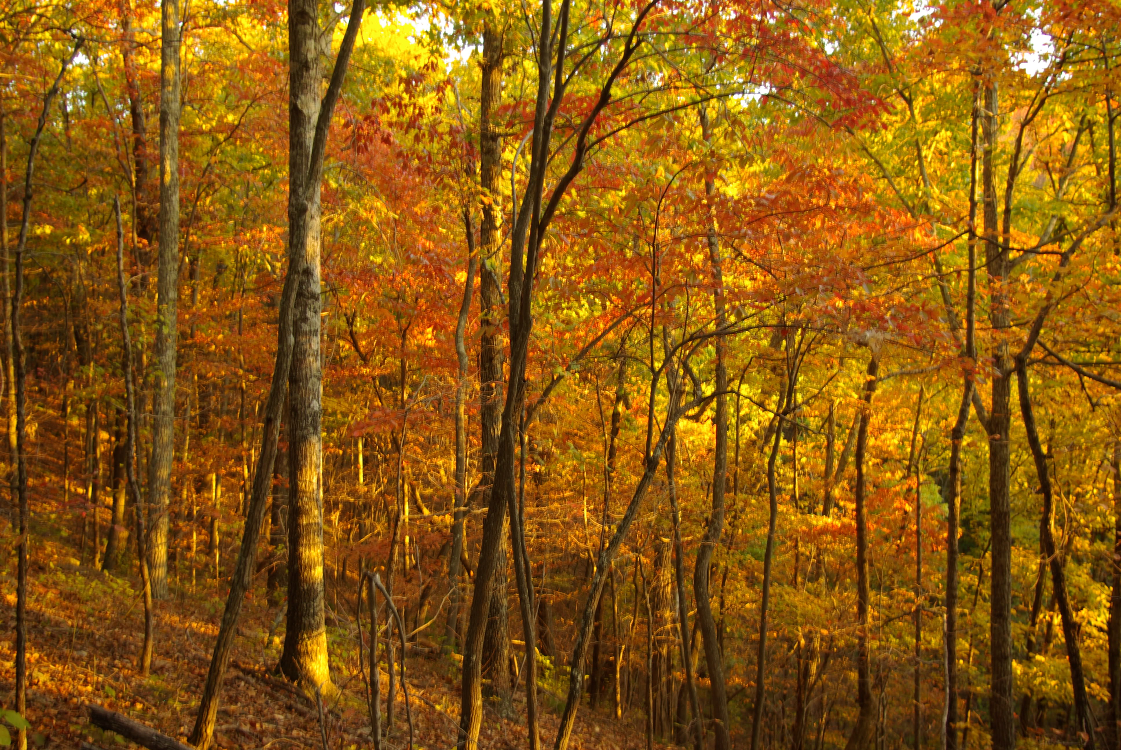
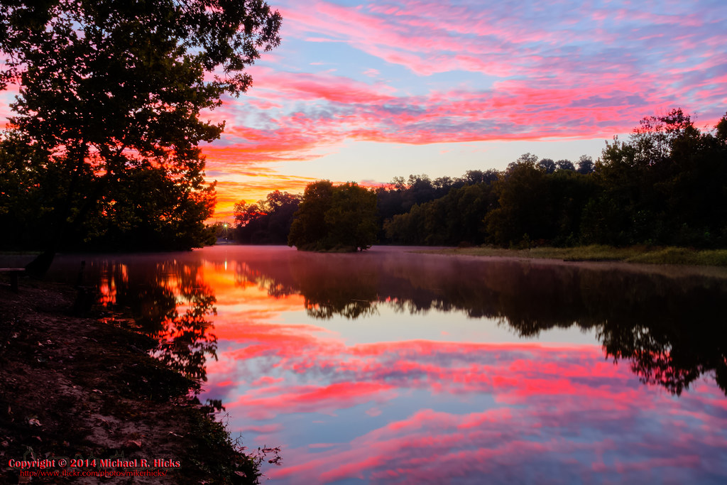
Fall Sunset at Beaman Park 2008
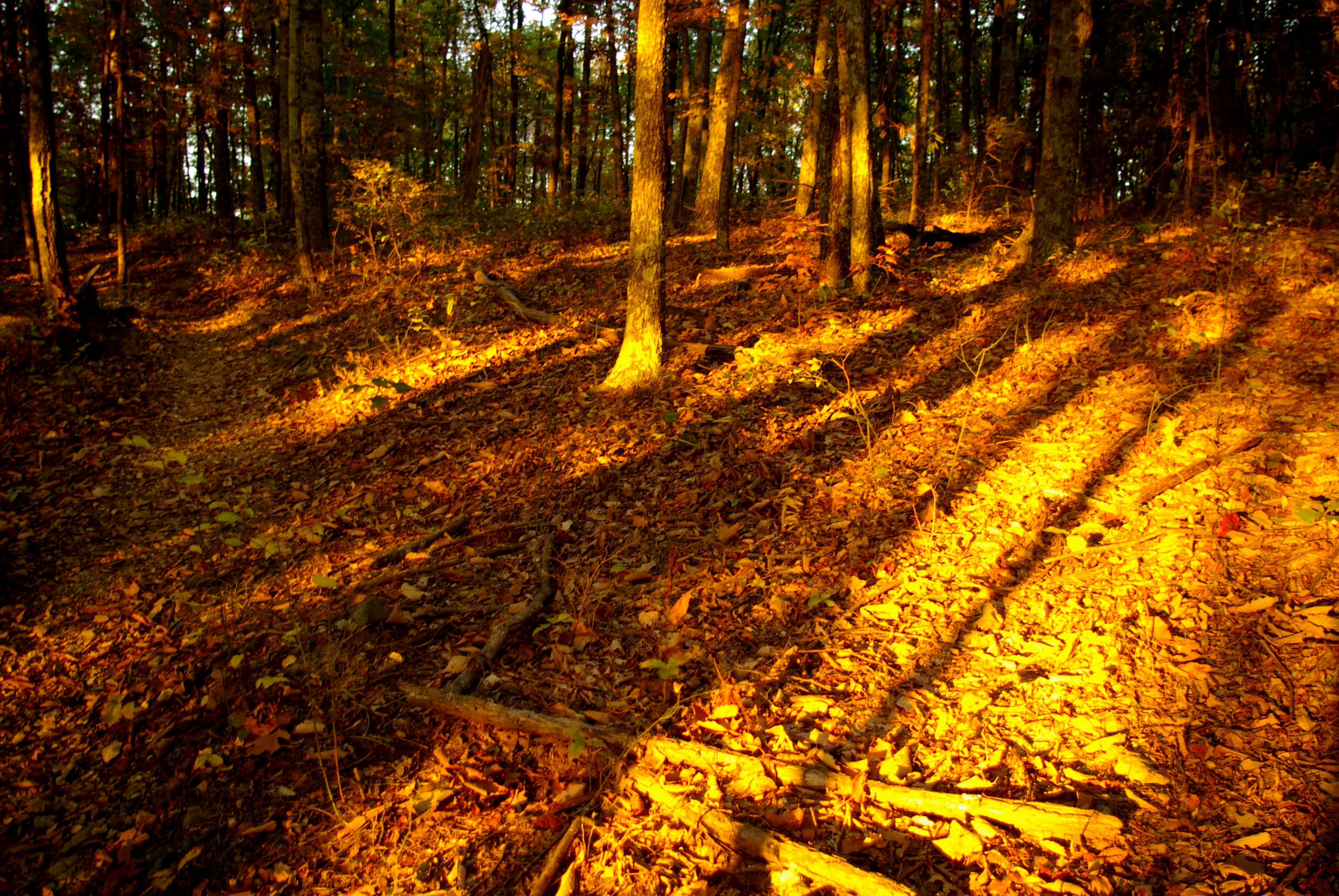
Beaman Park at Sunset
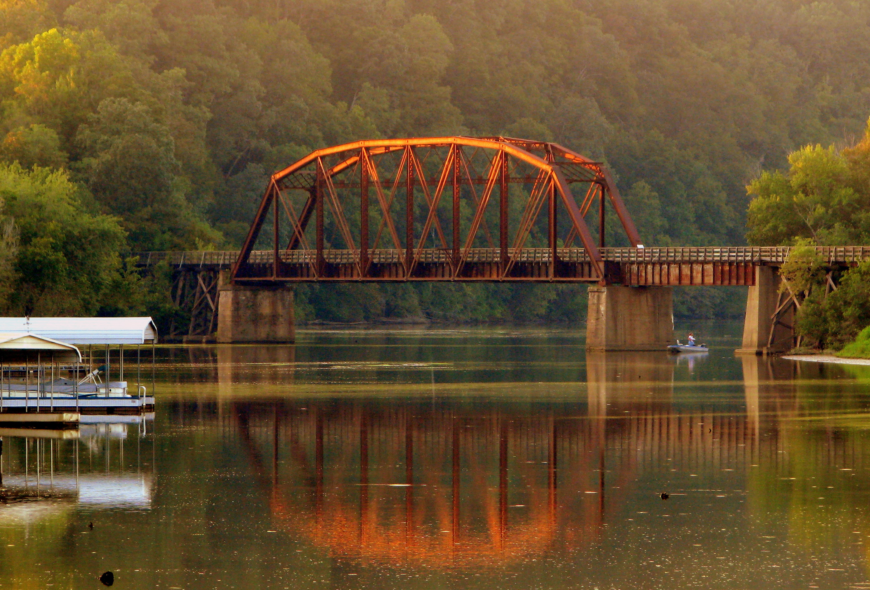
Cumberland River Bicentennial Trail Bridge near Sunset

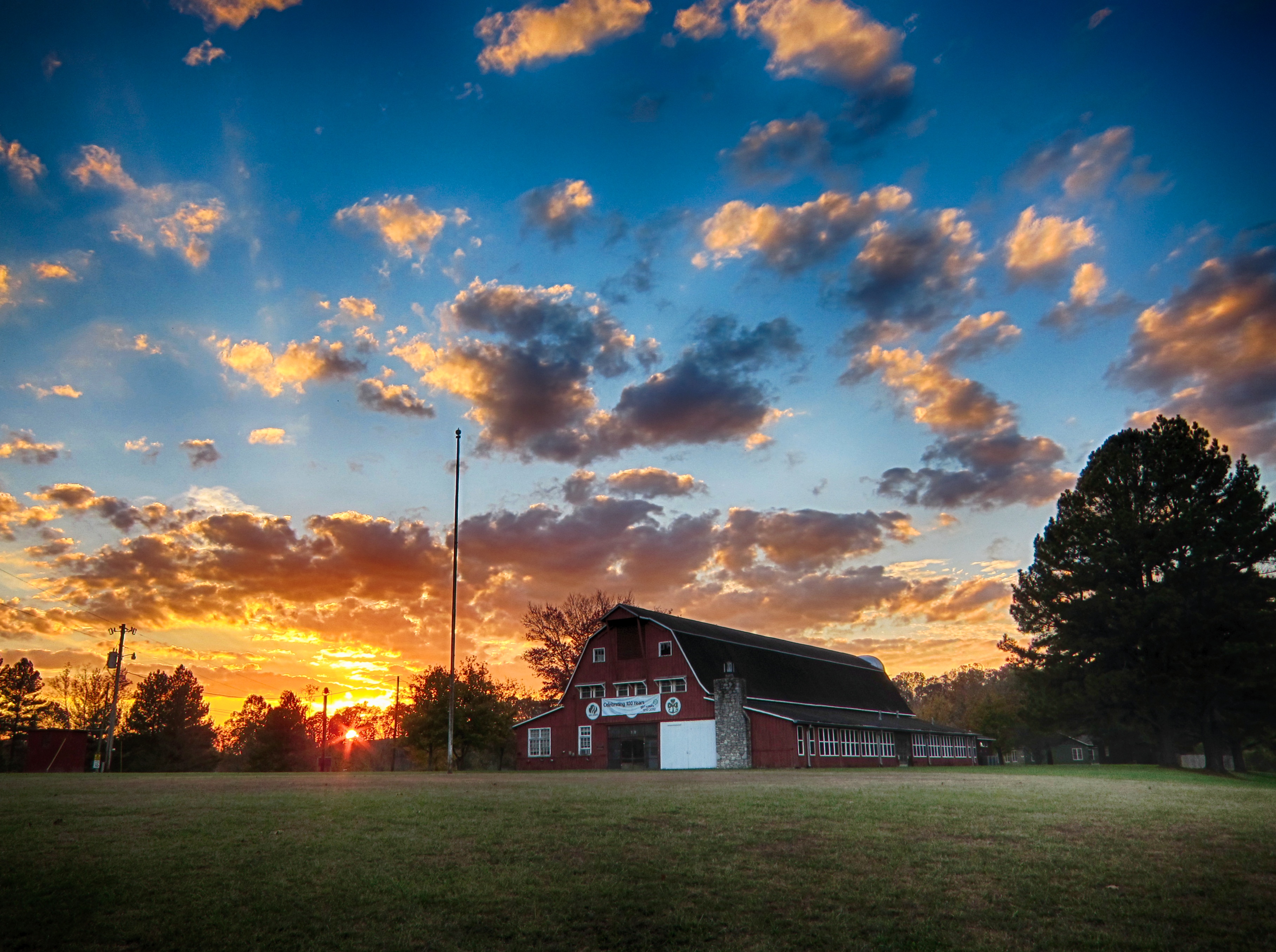
Sycamore Hills barn in the fog
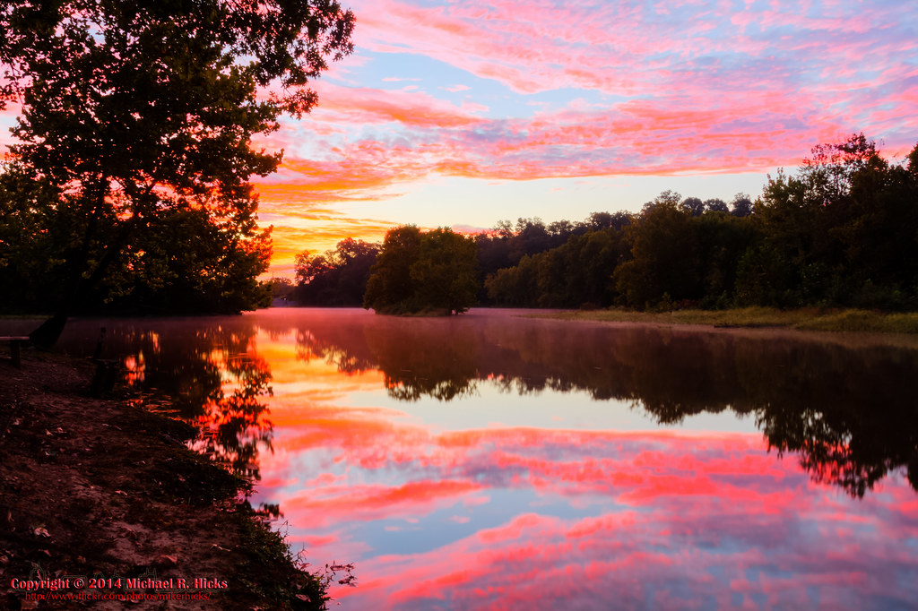
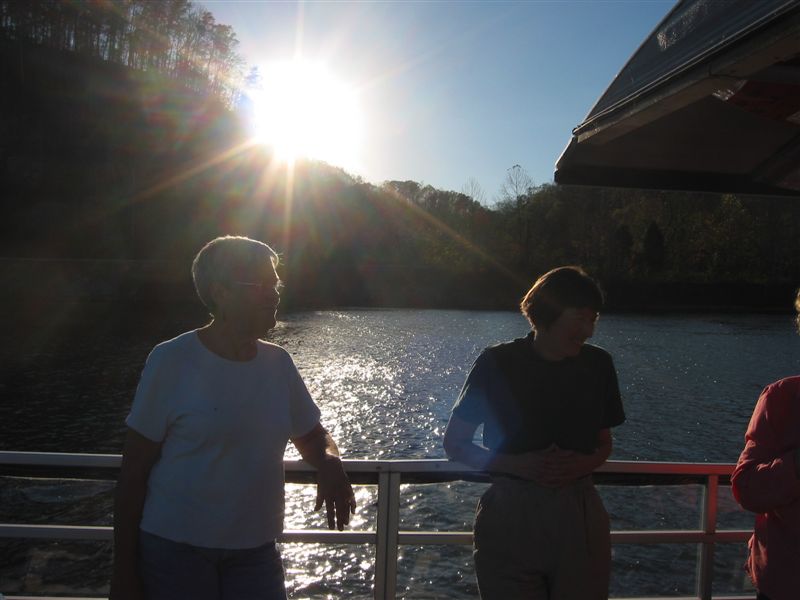
Sunrise - 3rd annual George McCabe Memorial Hike
Off the Beaten Path
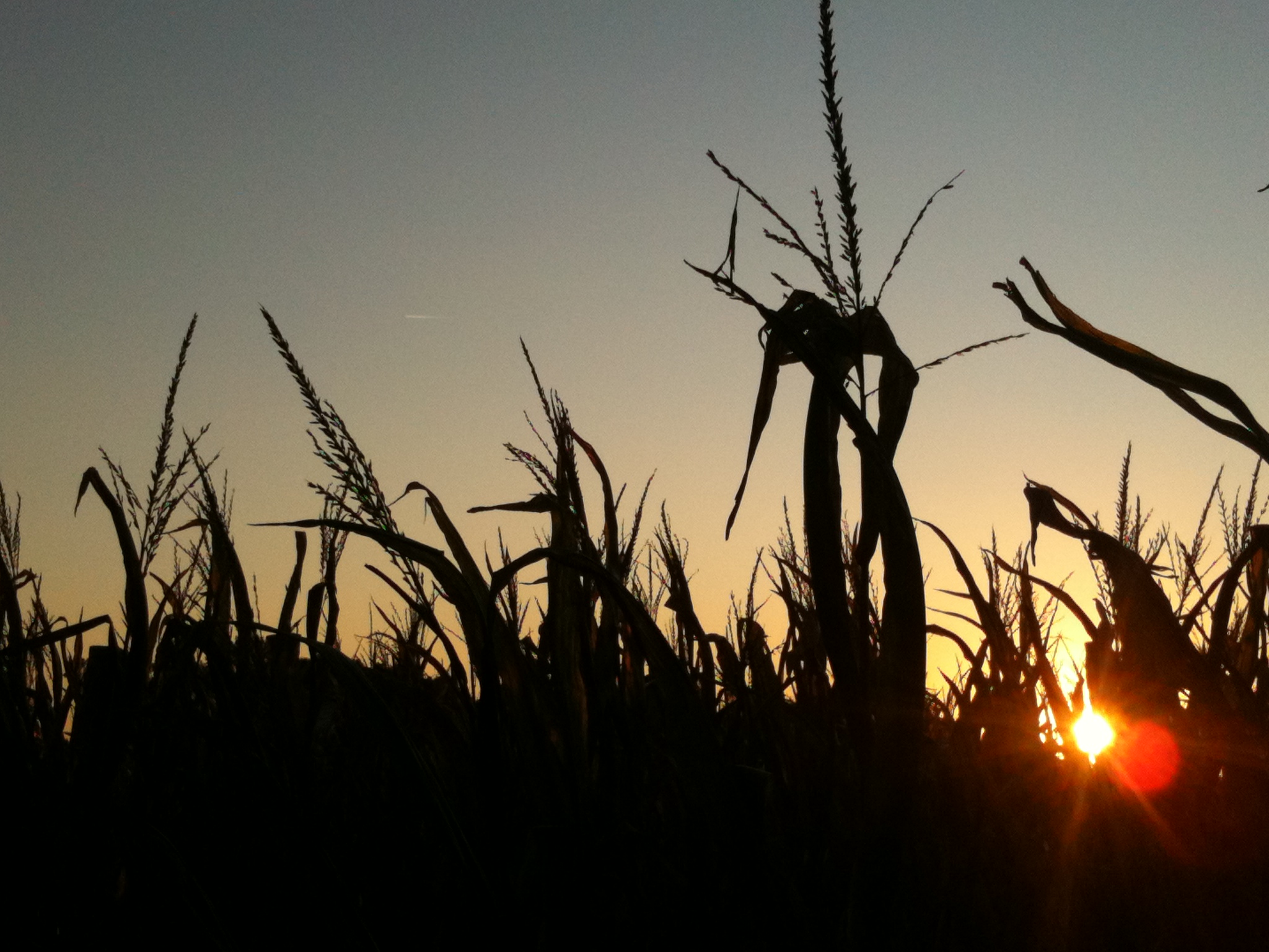
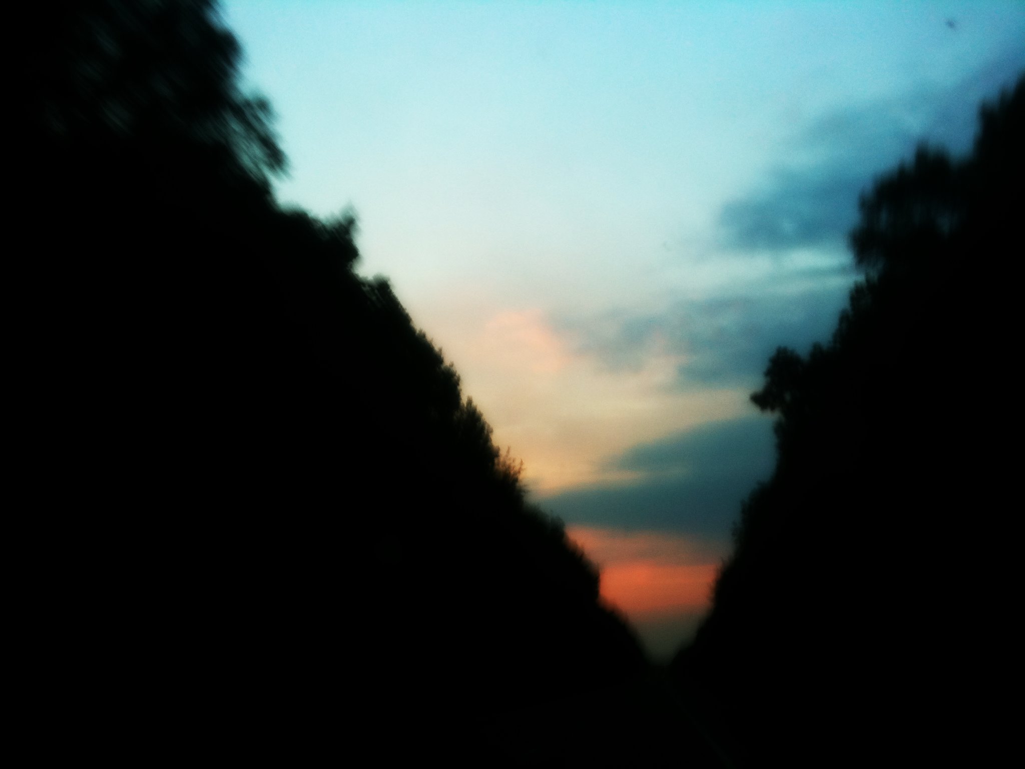
Sunset in Corn Country
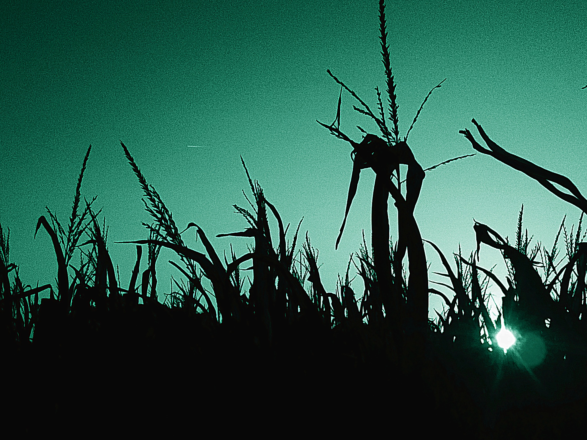
Cool Sunset
Sycamore Hills
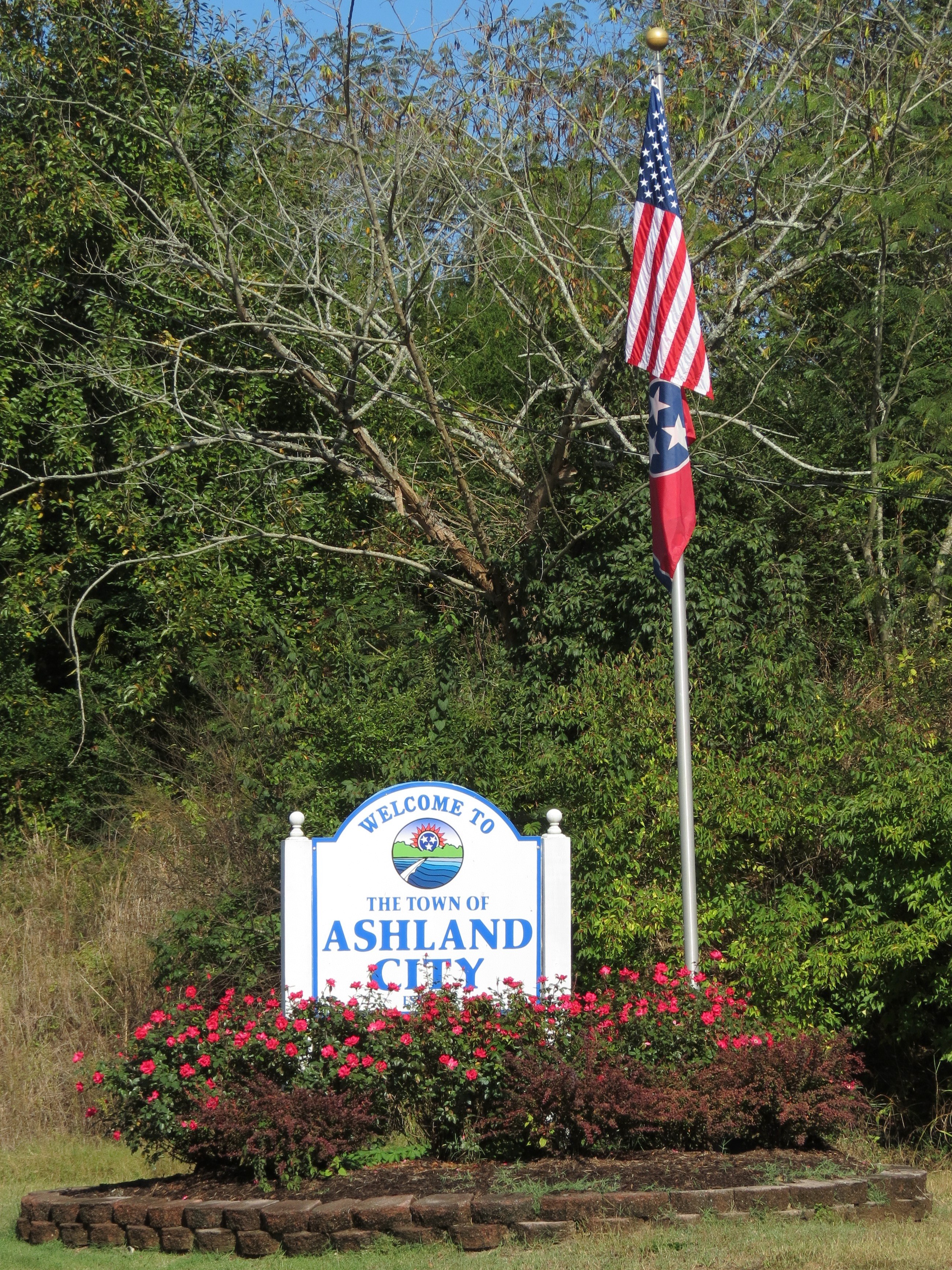
Welcome to Ashland City
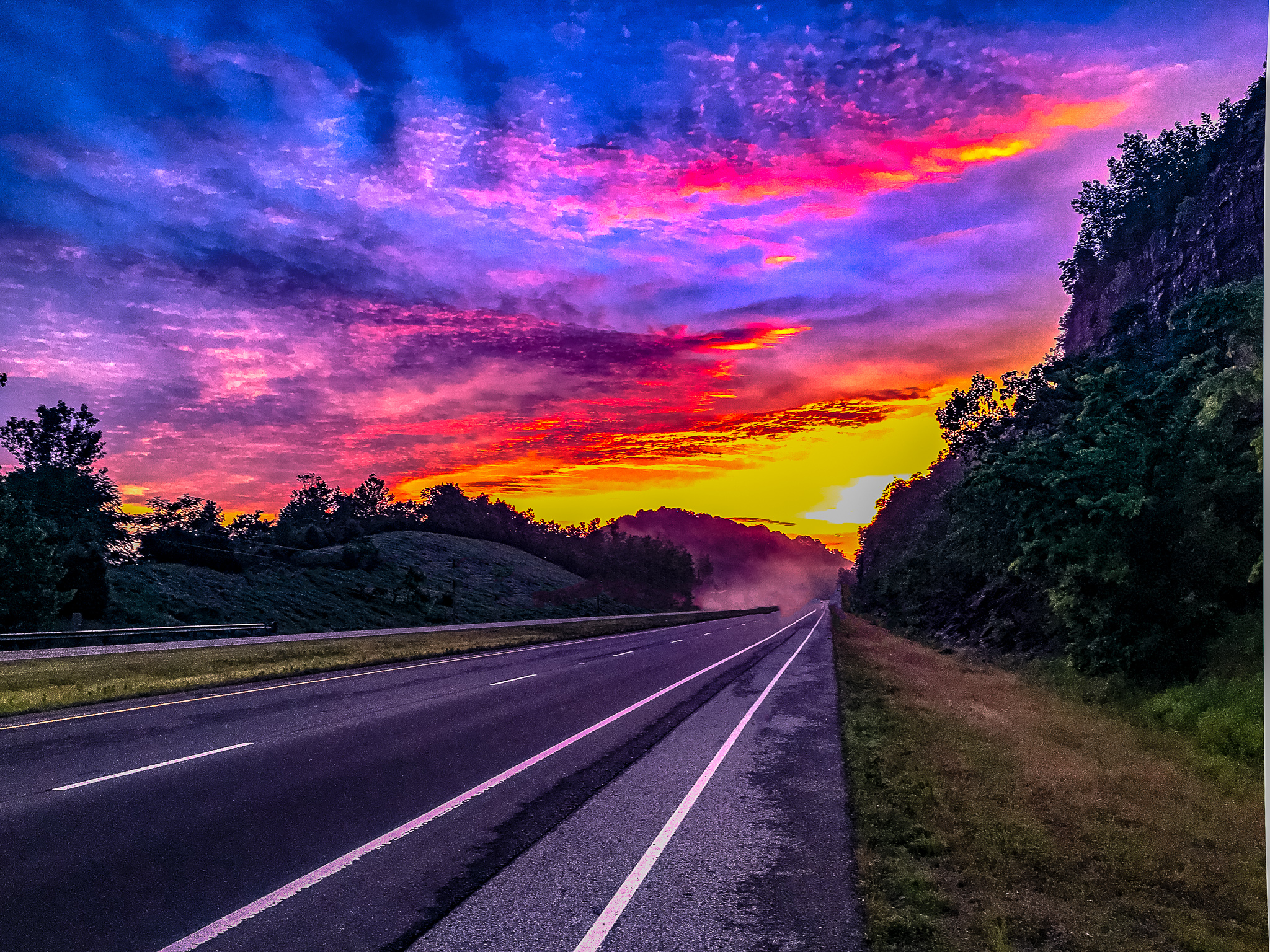
Rolling down the Road
Sunset over Lois
Sunrise - 3rd annual George McCabe Memorial Hike

Sunrise - 3rd annual George McCabe Memorial Hike
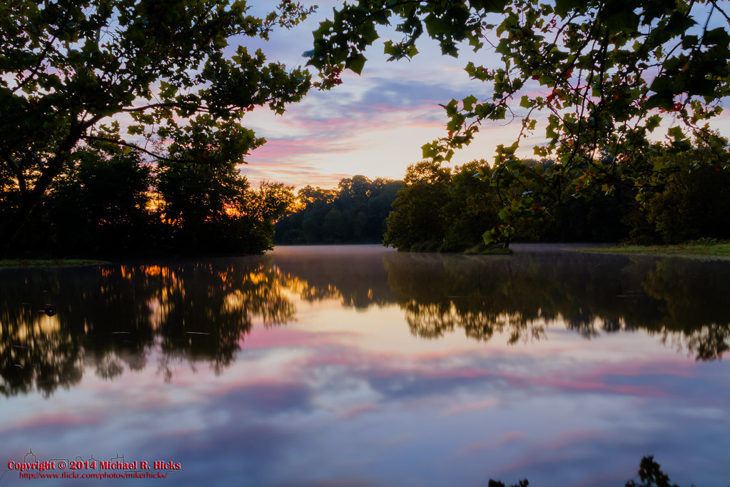
Sunrise - 3rd annual George McCabe Memorial Hike
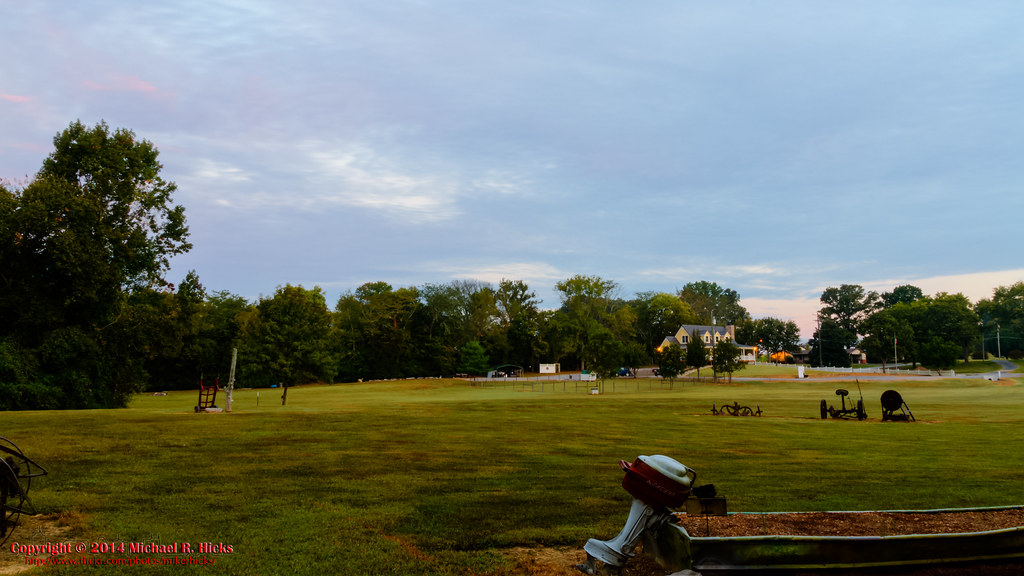
Sunrise - 3rd annual George McCabe Memorial Hike
Ed Harris Rd, Ashland City, TN アメリカ合衆国の地図
別の場所を検索
近所の場所
Ed Harris Rd, Ashland City, TN アメリカ合衆国
N Vine St, Ashland City, TN アメリカ合衆国
アメリカ合衆国 テネシー州 アッシュランド・シティ
Shoals Landing, Ashland City, TN アメリカ合衆国
Noah Reeves Rd, Ashland City, TN アメリカ合衆国
Greenbrier Rd, Ashland City, TN アメリカ合衆国
Floy Ln, Ashland City, TN アメリカ合衆国
Matlock Dr, Chapmansboro, TN アメリカ合衆国
Old Clarksville Pike, Ashland City, TN アメリカ合衆国
Sunrise Cir, Ashland City, TN アメリカ合衆国
River Rd, Ashland City, TN アメリカ合衆国
Old Clarksville Pike, Ashland City, TN アメリカ合衆国
Abernathy Rd, Ashland City, TN アメリカ合衆国
Little Marrowbone Rd, Ashland City, TN アメリカ合衆国
アメリカ合衆国 〒 テネシー州 チャップマンズボロ
- Cheatham Dam Rd, Chapmansboro, TN アメリカ合衆国
Ben Collier Rd, Charlotte, TN アメリカ合衆国
Old Clarksville Pike, Joelton, TN アメリカ合衆国
TN-12, Ashland City, TN アメリカ合衆国
Mosley Ferry Rd, Chapmansboro, TN アメリカ合衆国
最近の検索
- Vydrino, Irkutsk Oblast, Russia日の出日の入り時間
- Worksop S81 8GA, UK日の出日の入り時間
- Cabo de Cruz, Boiro, A Coruña, スペイン日の出日の入り時間
- 日本、山形県 置賜地方日の出日の入り時間
- 中華人民共和国 山西省 晋中市 楡次区日の出日の入り時間
- 4 Vale Rd, Sheffield S3 9QX イギリス日の出日の入り時間
- State St, Zanesville, OH アメリカ合衆国日の出日の入り時間
- 日本、〒- 兵庫県尼崎市塚口町1丁目日の出日の入り時間
- 日本、〒- 静岡県駿東郡小山町須走富士山本宮淺間大社 東北奧宮 久須志神社日の出日の入り時間
- Sinai St 16, Be'er Sheva, イスラエル日の出日の入り時間