Dove Path Ln, Colonial Heights, VA アメリカ合衆国日の出日の入り時間
Location: アメリカ合衆国 > バージニア州 > アメリカ合衆国 〒 バージニア州 コロニアル・ハイツ >
時間帯:
America/New_York
現地時間:
2024-05-02 06:10:50
経度:
-77.3708213
緯度:
37.3326944
今日の日の出時刻:
06:12:14 AM
今日の日の入時刻:
08:00:31 PM
今日の日長:
13h 48m 17s
明日の日の出時刻:
06:11:08 AM
明日の日の入時刻:
08:01:25 PM
明日の日長:
13h 50m 17s
すべて表示する
| 日付 | 日出 | 日没 | 日長 |
|---|---|---|---|
| 2024年01月01日 | 07:23:39 AM | 05:02:50 PM | 9h 39m 11s |
| 2024年01月02日 | 07:23:47 AM | 05:03:38 PM | 9h 39m 51s |
| 2024年01月03日 | 07:23:52 AM | 05:04:28 PM | 9h 40m 36s |
| 2024年01月04日 | 07:23:55 AM | 05:05:19 PM | 9h 41m 24s |
| 2024年01月05日 | 07:23:57 AM | 05:06:11 PM | 9h 42m 14s |
| 2024年01月06日 | 07:23:56 AM | 05:07:04 PM | 9h 43m 8s |
| 2024年01月07日 | 07:23:53 AM | 05:07:59 PM | 9h 44m 6s |
| 2024年01月08日 | 07:23:48 AM | 05:08:54 PM | 9h 45m 6s |
| 2024年01月09日 | 07:23:41 AM | 05:09:50 PM | 9h 46m 9s |
| 2024年01月10日 | 07:23:32 AM | 05:10:48 PM | 9h 47m 16s |
| 2024年01月11日 | 07:23:21 AM | 05:11:46 PM | 9h 48m 25s |
| 2024年01月12日 | 07:23:08 AM | 05:12:45 PM | 9h 49m 37s |
| 2024年01月13日 | 07:22:53 AM | 05:13:45 PM | 9h 50m 52s |
| 2024年01月14日 | 07:22:36 AM | 05:14:45 PM | 9h 52m 9s |
| 2024年01月15日 | 07:22:17 AM | 05:15:46 PM | 9h 53m 29s |
| 2024年01月16日 | 07:21:56 AM | 05:16:48 PM | 9h 54m 52s |
| 2024年01月17日 | 07:21:33 AM | 05:17:51 PM | 9h 56m 18s |
| 2024年01月18日 | 07:21:08 AM | 05:18:54 PM | 9h 57m 46s |
| 2024年01月19日 | 07:20:41 AM | 05:19:57 PM | 9h 59m 16s |
| 2024年01月20日 | 07:20:12 AM | 05:21:01 PM | 10h 0m 49s |
| 2024年01月21日 | 07:19:41 AM | 05:22:05 PM | 10h 2m 24s |
| 2024年01月22日 | 07:19:09 AM | 05:23:10 PM | 10h 4m 1s |
| 2024年01月23日 | 07:18:34 AM | 05:24:15 PM | 10h 5m 41s |
| 2024年01月24日 | 07:17:58 AM | 05:25:20 PM | 10h 7m 22s |
| 2024年01月25日 | 07:17:20 AM | 05:26:25 PM | 10h 9m 5s |
| 2024年01月26日 | 07:16:40 AM | 05:27:31 PM | 10h 10m 51s |
| 2024年01月27日 | 07:15:58 AM | 05:28:37 PM | 10h 12m 39s |
| 2024年01月28日 | 07:15:14 AM | 05:29:43 PM | 10h 14m 29s |
| 2024年01月29日 | 07:14:29 AM | 05:30:49 PM | 10h 16m 20s |
| 2024年01月30日 | 07:13:42 AM | 05:31:55 PM | 10h 18m 13s |
| 2024年01月31日 | 07:12:54 AM | 05:33:01 PM | 10h 20m 7s |
| 2024年02月01日 | 07:12:04 AM | 05:34:07 PM | 10h 22m 3s |
| 2024年02月02日 | 07:11:12 AM | 05:35:13 PM | 10h 24m 1s |
| 2024年02月03日 | 07:10:19 AM | 05:36:19 PM | 10h 26m 0s |
| 2024年02月04日 | 07:09:24 AM | 05:37:24 PM | 10h 28m 0s |
| 2024年02月05日 | 07:08:27 AM | 05:38:30 PM | 10h 30m 3s |
| 2024年02月06日 | 07:07:30 AM | 05:39:36 PM | 10h 32m 6s |
| 2024年02月07日 | 07:06:30 AM | 05:40:41 PM | 10h 34m 11s |
| 2024年02月08日 | 07:05:30 AM | 05:41:46 PM | 10h 36m 16s |
| 2024年02月09日 | 07:04:28 AM | 05:42:51 PM | 10h 38m 23s |
| 2024年02月10日 | 07:03:24 AM | 05:43:56 PM | 10h 40m 32s |
| 2024年02月11日 | 07:02:20 AM | 05:45:01 PM | 10h 42m 41s |
| 2024年02月12日 | 07:01:14 AM | 05:46:05 PM | 10h 44m 51s |
| 2024年02月13日 | 07:00:07 AM | 05:47:09 PM | 10h 47m 2s |
| 2024年02月14日 | 06:58:58 AM | 05:48:13 PM | 10h 49m 15s |
| 2024年02月15日 | 06:57:49 AM | 05:49:17 PM | 10h 51m 28s |
| 2024年02月16日 | 06:56:38 AM | 05:50:20 PM | 10h 53m 42s |
| 2024年02月17日 | 06:55:26 AM | 05:51:23 PM | 10h 55m 57s |
| 2024年02月18日 | 06:54:13 AM | 05:52:26 PM | 10h 58m 13s |
| 2024年02月19日 | 06:53:00 AM | 05:53:28 PM | 11h 0m 28s |
| 2024年02月20日 | 06:51:45 AM | 05:54:30 PM | 11h 2m 45s |
| 2024年02月21日 | 06:50:29 AM | 05:55:32 PM | 11h 5m 3s |
| 2024年02月22日 | 06:49:12 AM | 05:56:33 PM | 11h 7m 21s |
| 2024年02月23日 | 06:47:54 AM | 05:57:34 PM | 11h 9m 40s |
| 2024年02月24日 | 06:46:36 AM | 05:58:35 PM | 11h 11m 59s |
| 2024年02月25日 | 06:45:16 AM | 05:59:35 PM | 11h 14m 19s |
| 2024年02月26日 | 06:43:56 AM | 06:00:35 PM | 11h 16m 39s |
| 2024年02月27日 | 06:42:35 AM | 06:01:35 PM | 11h 19m 0s |
| 2024年02月28日 | 06:41:13 AM | 06:02:35 PM | 11h 21m 22s |
| 2024年02月29日 | 06:39:51 AM | 06:03:34 PM | 11h 23m 43s |
| 2024年03月01日 | 06:38:27 AM | 06:04:33 PM | 11h 26m 6s |
| 2024年03月02日 | 06:37:04 AM | 06:05:31 PM | 11h 28m 27s |
| 2024年03月03日 | 06:35:39 AM | 06:06:30 PM | 11h 30m 51s |
| 2024年03月04日 | 06:34:14 AM | 06:07:27 PM | 11h 33m 13s |
| 2024年03月05日 | 06:32:49 AM | 06:08:25 PM | 11h 35m 36s |
| 2024年03月06日 | 06:31:22 AM | 06:09:23 PM | 11h 38m 1s |
| 2024年03月07日 | 06:29:56 AM | 06:10:20 PM | 11h 40m 24s |
| 2024年03月08日 | 06:28:29 AM | 06:11:17 PM | 11h 42m 48s |
| 2024年03月09日 | 06:27:01 AM | 06:12:13 PM | 11h 45m 12s |
| 2024年03月10日 | 07:25:37 AM | 07:13:07 PM | 11h 47m 30s |
| 2024年03月11日 | 07:24:09 AM | 07:14:03 PM | 11h 49m 54s |
| 2024年03月12日 | 07:22:40 AM | 07:14:59 PM | 11h 52m 19s |
| 2024年03月13日 | 07:21:12 AM | 07:15:55 PM | 11h 54m 43s |
| 2024年03月14日 | 07:19:42 AM | 07:16:50 PM | 11h 57m 8s |
| 2024年03月15日 | 07:18:13 AM | 07:17:46 PM | 11h 59m 33s |
| 2024年03月16日 | 07:16:43 AM | 07:18:41 PM | 12h 1m 58s |
| 2024年03月17日 | 07:15:14 AM | 07:19:36 PM | 12h 4m 22s |
| 2024年03月18日 | 07:13:44 AM | 07:20:30 PM | 12h 6m 46s |
| 2024年03月19日 | 07:12:14 AM | 07:21:25 PM | 12h 9m 11s |
| 2024年03月20日 | 07:10:44 AM | 07:22:20 PM | 12h 11m 36s |
| 2024年03月21日 | 07:09:13 AM | 07:23:14 PM | 12h 14m 1s |
| 2024年03月22日 | 07:07:43 AM | 07:24:08 PM | 12h 16m 25s |
| 2024年03月23日 | 07:06:13 AM | 07:25:02 PM | 12h 18m 49s |
| 2024年03月24日 | 07:04:43 AM | 07:25:56 PM | 12h 21m 13s |
| 2024年03月25日 | 07:03:12 AM | 07:26:50 PM | 12h 23m 38s |
| 2024年03月26日 | 07:01:42 AM | 07:27:44 PM | 12h 26m 2s |
| 2024年03月27日 | 07:00:12 AM | 07:28:38 PM | 12h 28m 26s |
| 2024年03月28日 | 06:58:43 AM | 07:29:32 PM | 12h 30m 49s |
| 2024年03月29日 | 06:57:13 AM | 07:30:25 PM | 12h 33m 12s |
| 2024年03月30日 | 06:55:44 AM | 07:31:19 PM | 12h 35m 35s |
| 2024年03月31日 | 06:54:14 AM | 07:32:13 PM | 12h 37m 59s |
| 2024年04月01日 | 06:52:45 AM | 07:33:06 PM | 12h 40m 21s |
| 2024年04月02日 | 06:51:17 AM | 07:34:00 PM | 12h 42m 43s |
| 2024年04月03日 | 06:49:48 AM | 07:34:53 PM | 12h 45m 5s |
| 2024年04月04日 | 06:48:20 AM | 07:35:47 PM | 12h 47m 27s |
| 2024年04月05日 | 06:46:53 AM | 07:36:41 PM | 12h 49m 48s |
| 2024年04月06日 | 06:45:26 AM | 07:37:34 PM | 12h 52m 8s |
| 2024年04月07日 | 06:43:59 AM | 07:38:28 PM | 12h 54m 29s |
| 2024年04月08日 | 06:42:33 AM | 07:39:21 PM | 12h 56m 48s |
| 2024年04月09日 | 06:41:07 AM | 07:40:15 PM | 12h 59m 8s |
| 2024年04月10日 | 06:39:42 AM | 07:41:09 PM | 13h 1m 27s |
| 2024年04月11日 | 06:38:17 AM | 07:42:03 PM | 13h 3m 46s |
| 2024年04月12日 | 06:36:53 AM | 07:42:56 PM | 13h 6m 3s |
| 2024年04月13日 | 06:35:29 AM | 07:43:50 PM | 13h 8m 21s |
| 2024年04月14日 | 06:34:07 AM | 07:44:44 PM | 13h 10m 37s |
| 2024年04月15日 | 06:32:44 AM | 07:45:38 PM | 13h 12m 54s |
| 2024年04月16日 | 06:31:23 AM | 07:46:32 PM | 13h 15m 9s |
| 2024年04月17日 | 06:30:02 AM | 07:47:26 PM | 13h 17m 24s |
| 2024年04月18日 | 06:28:42 AM | 07:48:20 PM | 13h 19m 38s |
| 2024年04月19日 | 06:27:23 AM | 07:49:14 PM | 13h 21m 51s |
| 2024年04月20日 | 06:26:05 AM | 07:50:08 PM | 13h 24m 3s |
| 2024年04月21日 | 06:24:48 AM | 07:51:02 PM | 13h 26m 14s |
| 2024年04月22日 | 06:23:31 AM | 07:51:57 PM | 13h 28m 26s |
| 2024年04月23日 | 06:22:15 AM | 07:52:51 PM | 13h 30m 36s |
| 2024年04月24日 | 06:21:01 AM | 07:53:45 PM | 13h 32m 44s |
| 2024年04月25日 | 06:19:47 AM | 07:54:39 PM | 13h 34m 52s |
| 2024年04月26日 | 06:18:34 AM | 07:55:33 PM | 13h 36m 59s |
| 2024年04月27日 | 06:17:23 AM | 07:56:28 PM | 13h 39m 5s |
| 2024年04月28日 | 06:16:12 AM | 07:57:22 PM | 13h 41m 10s |
| 2024年04月29日 | 06:15:03 AM | 07:58:16 PM | 13h 43m 13s |
| 2024年04月30日 | 06:13:54 AM | 07:59:10 PM | 13h 45m 16s |
| 2024年05月01日 | 06:12:47 AM | 08:00:04 PM | 13h 47m 17s |
| 2024年05月02日 | 06:11:41 AM | 08:00:58 PM | 13h 49m 17s |
| 2024年05月03日 | 06:10:36 AM | 08:01:52 PM | 13h 51m 16s |
| 2024年05月04日 | 06:09:33 AM | 08:02:45 PM | 13h 53m 12s |
| 2024年05月05日 | 06:08:30 AM | 08:03:39 PM | 13h 55m 9s |
| 2024年05月06日 | 06:07:29 AM | 08:04:32 PM | 13h 57m 3s |
| 2024年05月07日 | 06:06:29 AM | 08:05:26 PM | 13h 58m 57s |
| 2024年05月08日 | 06:05:31 AM | 08:06:19 PM | 14h 0m 48s |
| 2024年05月09日 | 06:04:34 AM | 08:07:11 PM | 14h 2m 37s |
| 2024年05月10日 | 06:03:38 AM | 08:08:04 PM | 14h 4m 26s |
| 2024年05月11日 | 06:02:44 AM | 08:08:56 PM | 14h 6m 12s |
| 2024年05月12日 | 06:01:52 AM | 08:09:48 PM | 14h 7m 56s |
| 2024年05月13日 | 06:01:00 AM | 08:10:40 PM | 14h 9m 40s |
| 2024年05月14日 | 06:00:11 AM | 08:11:31 PM | 14h 11m 20s |
| 2024年05月15日 | 05:59:22 AM | 08:12:22 PM | 14h 13m 0s |
| 2024年05月16日 | 05:58:36 AM | 08:13:12 PM | 14h 14m 36s |
| 2024年05月17日 | 05:57:51 AM | 08:14:02 PM | 14h 16m 11s |
| 2024年05月18日 | 05:57:07 AM | 08:14:51 PM | 14h 17m 44s |
| 2024年05月19日 | 05:56:25 AM | 08:15:40 PM | 14h 19m 15s |
| 2024年05月20日 | 05:55:45 AM | 08:16:29 PM | 14h 20m 44s |
| 2024年05月21日 | 05:55:06 AM | 08:17:17 PM | 14h 22m 11s |
| 2024年05月22日 | 05:54:29 AM | 08:18:04 PM | 14h 23m 35s |
| 2024年05月23日 | 05:53:54 AM | 08:18:50 PM | 14h 24m 56s |
| 2024年05月24日 | 05:53:20 AM | 08:19:36 PM | 14h 26m 16s |
| 2024年05月25日 | 05:52:48 AM | 08:20:21 PM | 14h 27m 33s |
| 2024年05月26日 | 05:52:18 AM | 08:21:05 PM | 14h 28m 47s |
| 2024年05月27日 | 05:51:50 AM | 08:21:49 PM | 14h 29m 59s |
| 2024年05月28日 | 05:51:23 AM | 08:22:32 PM | 14h 31m 9s |
| 2024年05月29日 | 05:50:58 AM | 08:23:13 PM | 14h 32m 15s |
| 2024年05月30日 | 05:50:35 AM | 08:23:54 PM | 14h 33m 19s |
| 2024年05月31日 | 05:50:13 AM | 08:24:34 PM | 14h 34m 21s |
| 2024年06月01日 | 05:49:54 AM | 08:25:13 PM | 14h 35m 19s |
| 2024年06月02日 | 05:49:36 AM | 08:25:51 PM | 14h 36m 15s |
| 2024年06月03日 | 05:49:20 AM | 08:26:27 PM | 14h 37m 7s |
| 2024年06月04日 | 05:49:05 AM | 08:27:03 PM | 14h 37m 58s |
| 2024年06月05日 | 05:48:53 AM | 08:27:38 PM | 14h 38m 45s |
| 2024年06月06日 | 05:48:42 AM | 08:28:11 PM | 14h 39m 29s |
| 2024年06月07日 | 05:48:33 AM | 08:28:43 PM | 14h 40m 10s |
| 2024年06月08日 | 05:48:26 AM | 08:29:14 PM | 14h 40m 48s |
| 2024年06月09日 | 05:48:20 AM | 08:29:43 PM | 14h 41m 23s |
| 2024年06月10日 | 05:48:17 AM | 08:30:11 PM | 14h 41m 54s |
| 2024年06月11日 | 05:48:15 AM | 08:30:38 PM | 14h 42m 23s |
| 2024年06月12日 | 05:48:14 AM | 08:31:03 PM | 14h 42m 49s |
| 2024年06月13日 | 05:48:16 AM | 08:31:27 PM | 14h 43m 11s |
| 2024年06月14日 | 05:48:19 AM | 08:31:50 PM | 14h 43m 31s |
| 2024年06月15日 | 05:48:24 AM | 08:32:11 PM | 14h 43m 47s |
| 2024年06月16日 | 05:48:31 AM | 08:32:30 PM | 14h 43m 59s |
| 2024年06月17日 | 05:48:39 AM | 08:32:48 PM | 14h 44m 9s |
| 2024年06月18日 | 05:48:49 AM | 08:33:04 PM | 14h 44m 15s |
| 2024年06月19日 | 05:49:00 AM | 08:33:19 PM | 14h 44m 19s |
| 2024年06月20日 | 05:49:13 AM | 08:33:32 PM | 14h 44m 19s |
| 2024年06月21日 | 05:49:28 AM | 08:33:43 PM | 14h 44m 15s |
| 2024年06月22日 | 05:49:44 AM | 08:33:53 PM | 14h 44m 9s |
| 2024年06月23日 | 05:50:02 AM | 08:34:01 PM | 14h 43m 59s |
| 2024年06月24日 | 05:50:21 AM | 08:34:07 PM | 14h 43m 46s |
| 2024年06月25日 | 05:50:42 AM | 08:34:12 PM | 14h 43m 30s |
| 2024年06月26日 | 05:51:04 AM | 08:34:15 PM | 14h 43m 11s |
| 2024年06月27日 | 05:51:28 AM | 08:34:16 PM | 14h 42m 48s |
| 2024年06月28日 | 05:51:52 AM | 08:34:15 PM | 14h 42m 23s |
| 2024年06月29日 | 05:52:19 AM | 08:34:12 PM | 14h 41m 53s |
| 2024年06月30日 | 05:52:46 AM | 08:34:08 PM | 14h 41m 22s |
| 2024年07月01日 | 05:53:15 AM | 08:34:02 PM | 14h 40m 47s |
| 2024年07月02日 | 05:53:45 AM | 08:33:54 PM | 14h 40m 9s |
| 2024年07月03日 | 05:54:16 AM | 08:33:44 PM | 14h 39m 28s |
| 2024年07月04日 | 05:54:48 AM | 08:33:32 PM | 14h 38m 44s |
| 2024年07月05日 | 05:55:22 AM | 08:33:19 PM | 14h 37m 57s |
| 2024年07月06日 | 05:55:56 AM | 08:33:04 PM | 14h 37m 8s |
| 2024年07月07日 | 05:56:32 AM | 08:32:46 PM | 14h 36m 14s |
| 2024年07月08日 | 05:57:09 AM | 08:32:28 PM | 14h 35m 19s |
| 2024年07月09日 | 05:57:46 AM | 08:32:07 PM | 14h 34m 21s |
| 2024年07月10日 | 05:58:25 AM | 08:31:44 PM | 14h 33m 19s |
| 2024年07月11日 | 05:59:04 AM | 08:31:20 PM | 14h 32m 16s |
| 2024年07月12日 | 05:59:44 AM | 08:30:54 PM | 14h 31m 10s |
| 2024年07月13日 | 06:00:25 AM | 08:30:26 PM | 14h 30m 1s |
| 2024年07月14日 | 06:01:07 AM | 08:29:56 PM | 14h 28m 49s |
| 2024年07月15日 | 06:01:49 AM | 08:29:25 PM | 14h 27m 36s |
| 2024年07月16日 | 06:02:33 AM | 08:28:52 PM | 14h 26m 19s |
| 2024年07月17日 | 06:03:16 AM | 08:28:17 PM | 14h 25m 1s |
| 2024年07月18日 | 06:04:01 AM | 08:27:40 PM | 14h 23m 39s |
| 2024年07月19日 | 06:04:46 AM | 08:27:02 PM | 14h 22m 16s |
| 2024年07月20日 | 06:05:32 AM | 08:26:22 PM | 14h 20m 50s |
| 2024年07月21日 | 06:06:18 AM | 08:25:40 PM | 14h 19m 22s |
| 2024年07月22日 | 06:07:04 AM | 08:24:57 PM | 14h 17m 53s |
| 2024年07月23日 | 06:07:52 AM | 08:24:12 PM | 14h 16m 20s |
| 2024年07月24日 | 06:08:39 AM | 08:23:25 PM | 14h 14m 46s |
| 2024年07月25日 | 06:09:27 AM | 08:22:37 PM | 14h 13m 10s |
| 2024年07月26日 | 06:10:15 AM | 08:21:47 PM | 14h 11m 32s |
| 2024年07月27日 | 06:11:04 AM | 08:20:56 PM | 14h 9m 52s |
| 2024年07月28日 | 06:11:53 AM | 08:20:03 PM | 14h 8m 10s |
| 2024年07月29日 | 06:12:42 AM | 08:19:09 PM | 14h 6m 27s |
| 2024年07月30日 | 06:13:31 AM | 08:18:13 PM | 14h 4m 42s |
| 2024年07月31日 | 06:14:21 AM | 08:17:16 PM | 14h 2m 55s |
| 2024年08月01日 | 06:15:11 AM | 08:16:18 PM | 14h 1m 7s |
| 2024年08月02日 | 06:16:01 AM | 08:15:18 PM | 13h 59m 17s |
| 2024年08月03日 | 06:16:51 AM | 08:14:16 PM | 13h 57m 25s |
| 2024年08月04日 | 06:17:41 AM | 08:13:14 PM | 13h 55m 33s |
| 2024年08月05日 | 06:18:32 AM | 08:12:10 PM | 13h 53m 38s |
| 2024年08月06日 | 06:19:22 AM | 08:11:05 PM | 13h 51m 43s |
| 2024年08月07日 | 06:20:13 AM | 08:09:58 PM | 13h 49m 45s |
| 2024年08月08日 | 06:21:03 AM | 08:08:51 PM | 13h 47m 48s |
| 2024年08月09日 | 06:21:54 AM | 08:07:42 PM | 13h 45m 48s |
| 2024年08月10日 | 06:22:45 AM | 08:06:32 PM | 13h 43m 47s |
| 2024年08月11日 | 06:23:35 AM | 08:05:21 PM | 13h 41m 46s |
| 2024年08月12日 | 06:24:26 AM | 08:04:08 PM | 13h 39m 42s |
| 2024年08月13日 | 06:25:17 AM | 08:02:55 PM | 13h 37m 38s |
| 2024年08月14日 | 06:26:07 AM | 08:01:41 PM | 13h 35m 34s |
| 2024年08月15日 | 06:26:58 AM | 08:00:25 PM | 13h 33m 27s |
| 2024年08月16日 | 06:27:48 AM | 07:59:09 PM | 13h 31m 21s |
| 2024年08月17日 | 06:28:39 AM | 07:57:51 PM | 13h 29m 12s |
| 2024年08月18日 | 06:29:29 AM | 07:56:33 PM | 13h 27m 4s |
| 2024年08月19日 | 06:30:20 AM | 07:55:14 PM | 13h 24m 54s |
| 2024年08月20日 | 06:31:10 AM | 07:53:54 PM | 13h 22m 44s |
| 2024年08月21日 | 06:32:00 AM | 07:52:33 PM | 13h 20m 33s |
| 2024年08月22日 | 06:32:50 AM | 07:51:11 PM | 13h 18m 21s |
| 2024年08月23日 | 06:33:41 AM | 07:49:49 PM | 13h 16m 8s |
| 2024年08月24日 | 06:34:31 AM | 07:48:26 PM | 13h 13m 55s |
| 2024年08月25日 | 06:35:21 AM | 07:47:02 PM | 13h 11m 41s |
| 2024年08月26日 | 06:36:10 AM | 07:45:37 PM | 13h 9m 27s |
| 2024年08月27日 | 06:37:00 AM | 07:44:12 PM | 13h 7m 12s |
| 2024年08月28日 | 06:37:50 AM | 07:42:46 PM | 13h 4m 56s |
| 2024年08月29日 | 06:38:40 AM | 07:41:19 PM | 13h 2m 39s |
| 2024年08月30日 | 06:39:29 AM | 07:39:52 PM | 13h 0m 23s |
| 2024年08月31日 | 06:40:19 AM | 07:38:25 PM | 12h 58m 6s |
| 2024年09月01日 | 06:41:08 AM | 07:36:56 PM | 12h 55m 48s |
| 2024年09月02日 | 06:41:58 AM | 07:35:28 PM | 12h 53m 30s |
| 2024年09月03日 | 06:42:47 AM | 07:33:59 PM | 12h 51m 12s |
| 2024年09月04日 | 06:43:36 AM | 07:32:29 PM | 12h 48m 53s |
| 2024年09月05日 | 06:44:26 AM | 07:30:59 PM | 12h 46m 33s |
| 2024年09月06日 | 06:45:15 AM | 07:29:29 PM | 12h 44m 14s |
| 2024年09月07日 | 06:46:04 AM | 07:27:58 PM | 12h 41m 54s |
| 2024年09月08日 | 06:46:53 AM | 07:26:27 PM | 12h 39m 34s |
| 2024年09月09日 | 06:47:43 AM | 07:24:56 PM | 12h 37m 13s |
| 2024年09月10日 | 06:48:32 AM | 07:23:24 PM | 12h 34m 52s |
| 2024年09月11日 | 06:49:21 AM | 07:21:53 PM | 12h 32m 32s |
| 2024年09月12日 | 06:50:10 AM | 07:20:21 PM | 12h 30m 11s |
| 2024年09月13日 | 06:51:00 AM | 07:18:49 PM | 12h 27m 49s |
| 2024年09月14日 | 06:51:49 AM | 07:17:16 PM | 12h 25m 27s |
| 2024年09月15日 | 06:52:39 AM | 07:15:44 PM | 12h 23m 5s |
| 2024年09月16日 | 06:53:28 AM | 07:14:12 PM | 12h 20m 44s |
| 2024年09月17日 | 06:54:18 AM | 07:12:39 PM | 12h 18m 21s |
| 2024年09月18日 | 06:55:07 AM | 07:11:07 PM | 12h 16m 0s |
| 2024年09月19日 | 06:55:57 AM | 07:09:34 PM | 12h 13m 37s |
| 2024年09月20日 | 06:56:47 AM | 07:08:02 PM | 12h 11m 15s |
| 2024年09月21日 | 06:57:37 AM | 07:06:29 PM | 12h 8m 52s |
| 2024年09月22日 | 06:58:27 AM | 07:04:57 PM | 12h 6m 30s |
| 2024年09月23日 | 06:59:18 AM | 07:03:25 PM | 12h 4m 7s |
| 2024年09月24日 | 07:00:08 AM | 07:01:53 PM | 12h 1m 45s |
| 2024年09月25日 | 07:00:59 AM | 07:00:21 PM | 11h 59m 22s |
| 2024年09月26日 | 07:01:50 AM | 06:58:50 PM | 11h 57m 0s |
| 2024年09月27日 | 07:02:41 AM | 06:57:18 PM | 11h 54m 37s |
| 2024年09月28日 | 07:03:32 AM | 06:55:47 PM | 11h 52m 15s |
| 2024年09月29日 | 07:04:23 AM | 06:54:16 PM | 11h 49m 53s |
| 2024年09月30日 | 07:05:15 AM | 06:52:46 PM | 11h 47m 31s |
| 2024年10月01日 | 07:06:07 AM | 06:51:16 PM | 11h 45m 9s |
| 2024年10月02日 | 07:06:59 AM | 06:49:46 PM | 11h 42m 47s |
| 2024年10月03日 | 07:07:52 AM | 06:48:17 PM | 11h 40m 25s |
| 2024年10月04日 | 07:08:45 AM | 06:46:48 PM | 11h 38m 3s |
| 2024年10月05日 | 07:09:38 AM | 06:45:20 PM | 11h 35m 42s |
| 2024年10月06日 | 07:10:31 AM | 06:43:52 PM | 11h 33m 21s |
| 2024年10月07日 | 07:11:24 AM | 06:42:24 PM | 11h 31m 0s |
| 2024年10月08日 | 07:12:18 AM | 06:40:58 PM | 11h 28m 40s |
| 2024年10月09日 | 07:13:13 AM | 06:39:32 PM | 11h 26m 19s |
| 2024年10月10日 | 07:14:07 AM | 06:38:06 PM | 11h 23m 59s |
| 2024年10月11日 | 07:15:02 AM | 06:36:41 PM | 11h 21m 39s |
| 2024年10月12日 | 07:15:57 AM | 06:35:17 PM | 11h 19m 20s |
| 2024年10月13日 | 07:16:53 AM | 06:33:54 PM | 11h 17m 1s |
| 2024年10月14日 | 07:17:48 AM | 06:32:31 PM | 11h 14m 43s |
| 2024年10月15日 | 07:18:45 AM | 06:31:10 PM | 11h 12m 25s |
| 2024年10月16日 | 07:19:41 AM | 06:29:49 PM | 11h 10m 8s |
| 2024年10月17日 | 07:20:38 AM | 06:28:29 PM | 11h 7m 51s |
| 2024年10月18日 | 07:21:35 AM | 06:27:09 PM | 11h 5m 34s |
| 2024年10月19日 | 07:22:33 AM | 06:25:51 PM | 11h 3m 18s |
| 2024年10月20日 | 07:23:31 AM | 06:24:34 PM | 11h 1m 3s |
| 2024年10月21日 | 07:24:29 AM | 06:23:17 PM | 10h 58m 48s |
| 2024年10月22日 | 07:25:28 AM | 06:22:02 PM | 10h 56m 34s |
| 2024年10月23日 | 07:26:27 AM | 06:20:48 PM | 10h 54m 21s |
| 2024年10月24日 | 07:27:26 AM | 06:19:35 PM | 10h 52m 9s |
| 2024年10月25日 | 07:28:26 AM | 06:18:23 PM | 10h 49m 57s |
| 2024年10月26日 | 07:29:26 AM | 06:17:12 PM | 10h 47m 46s |
| 2024年10月27日 | 07:30:26 AM | 06:16:02 PM | 10h 45m 36s |
| 2024年10月28日 | 07:31:26 AM | 06:14:54 PM | 10h 43m 28s |
| 2024年10月29日 | 07:32:27 AM | 06:13:46 PM | 10h 41m 19s |
| 2024年10月30日 | 07:33:28 AM | 06:12:40 PM | 10h 39m 12s |
| 2024年10月31日 | 07:34:30 AM | 06:11:36 PM | 10h 37m 6s |
| 2024年11月01日 | 07:35:31 AM | 06:10:33 PM | 10h 35m 2s |
| 2024年11月02日 | 07:36:33 AM | 06:09:31 PM | 10h 32m 58s |
| 2024年11月03日 | 06:37:38 AM | 05:08:28 PM | 10h 30m 50s |
| 2024年11月04日 | 06:38:40 AM | 05:07:29 PM | 10h 28m 49s |
| 2024年11月05日 | 06:39:43 AM | 05:06:32 PM | 10h 26m 49s |
| 2024年11月06日 | 06:40:45 AM | 05:05:36 PM | 10h 24m 51s |
| 2024年11月07日 | 06:41:48 AM | 05:04:41 PM | 10h 22m 53s |
| 2024年11月08日 | 06:42:51 AM | 05:03:49 PM | 10h 20m 58s |
| 2024年11月09日 | 06:43:54 AM | 05:02:57 PM | 10h 19m 3s |
| 2024年11月10日 | 06:44:57 AM | 05:02:08 PM | 10h 17m 11s |
| 2024年11月11日 | 06:46:00 AM | 05:01:20 PM | 10h 15m 20s |
| 2024年11月12日 | 06:47:03 AM | 05:00:34 PM | 10h 13m 31s |
| 2024年11月13日 | 06:48:06 AM | 04:59:50 PM | 10h 11m 44s |
| 2024年11月14日 | 06:49:09 AM | 04:59:07 PM | 10h 9m 58s |
| 2024年11月15日 | 06:50:12 AM | 04:58:26 PM | 10h 8m 14s |
| 2024年11月16日 | 06:51:15 AM | 04:57:47 PM | 10h 6m 32s |
| 2024年11月17日 | 06:52:17 AM | 04:57:10 PM | 10h 4m 53s |
| 2024年11月18日 | 06:53:20 AM | 04:56:35 PM | 10h 3m 15s |
| 2024年11月19日 | 06:54:22 AM | 04:56:01 PM | 10h 1m 39s |
| 2024年11月20日 | 06:55:23 AM | 04:55:30 PM | 10h 0m 7s |
| 2024年11月21日 | 06:56:25 AM | 04:55:00 PM | 9h 58m 35s |
| 2024年11月22日 | 06:57:26 AM | 04:54:32 PM | 9h 57m 6s |
| 2024年11月23日 | 06:58:26 AM | 04:54:07 PM | 9h 55m 41s |
| 2024年11月24日 | 06:59:26 AM | 04:53:43 PM | 9h 54m 17s |
| 2024年11月25日 | 07:00:26 AM | 04:53:21 PM | 9h 52m 55s |
| 2024年11月26日 | 07:01:25 AM | 04:53:02 PM | 9h 51m 37s |
| 2024年11月27日 | 07:02:23 AM | 04:52:44 PM | 9h 50m 21s |
| 2024年11月28日 | 07:03:21 AM | 04:52:29 PM | 9h 49m 8s |
| 2024年11月29日 | 07:04:18 AM | 04:52:15 PM | 9h 47m 57s |
| 2024年11月30日 | 07:05:14 AM | 04:52:04 PM | 9h 46m 50s |
| 2024年12月01日 | 07:06:10 AM | 04:51:54 PM | 9h 45m 44s |
| 2024年12月02日 | 07:07:04 AM | 04:51:47 PM | 9h 44m 43s |
| 2024年12月03日 | 07:07:58 AM | 04:51:42 PM | 9h 43m 44s |
| 2024年12月04日 | 07:08:51 AM | 04:51:39 PM | 9h 42m 48s |
| 2024年12月05日 | 07:09:42 AM | 04:51:38 PM | 9h 41m 56s |
| 2024年12月06日 | 07:10:33 AM | 04:51:39 PM | 9h 41m 6s |
| 2024年12月07日 | 07:11:22 AM | 04:51:42 PM | 9h 40m 20s |
| 2024年12月08日 | 07:12:11 AM | 04:51:48 PM | 9h 39m 37s |
| 2024年12月09日 | 07:12:58 AM | 04:51:55 PM | 9h 38m 57s |
| 2024年12月10日 | 07:13:44 AM | 04:52:04 PM | 9h 38m 20s |
| 2024年12月11日 | 07:14:28 AM | 04:52:16 PM | 9h 37m 48s |
| 2024年12月12日 | 07:15:11 AM | 04:52:29 PM | 9h 37m 18s |
| 2024年12月13日 | 07:15:53 AM | 04:52:45 PM | 9h 36m 52s |
| 2024年12月14日 | 07:16:33 AM | 04:53:02 PM | 9h 36m 29s |
| 2024年12月15日 | 07:17:12 AM | 04:53:22 PM | 9h 36m 10s |
| 2024年12月16日 | 07:17:49 AM | 04:53:43 PM | 9h 35m 54s |
| 2024年12月17日 | 07:18:25 AM | 04:54:07 PM | 9h 35m 42s |
| 2024年12月18日 | 07:18:59 AM | 04:54:32 PM | 9h 35m 33s |
| 2024年12月19日 | 07:19:31 AM | 04:54:59 PM | 9h 35m 28s |
| 2024年12月20日 | 07:20:02 AM | 04:55:28 PM | 9h 35m 26s |
| 2024年12月21日 | 07:20:31 AM | 04:55:59 PM | 9h 35m 28s |
| 2024年12月22日 | 07:20:58 AM | 04:56:31 PM | 9h 35m 33s |
| 2024年12月23日 | 07:21:23 AM | 04:57:06 PM | 9h 35m 43s |
| 2024年12月24日 | 07:21:46 AM | 04:57:42 PM | 9h 35m 56s |
| 2024年12月25日 | 07:22:08 AM | 04:58:20 PM | 9h 36m 12s |
| 2024年12月26日 | 07:22:28 AM | 04:58:59 PM | 9h 36m 31s |
| 2024年12月27日 | 07:22:45 AM | 04:59:40 PM | 9h 36m 55s |
| 2024年12月28日 | 07:23:01 AM | 05:00:22 PM | 9h 37m 21s |
| 2024年12月29日 | 07:23:15 AM | 05:01:06 PM | 9h 37m 51s |
| 2024年12月30日 | 07:23:27 AM | 05:01:51 PM | 9h 38m 24s |
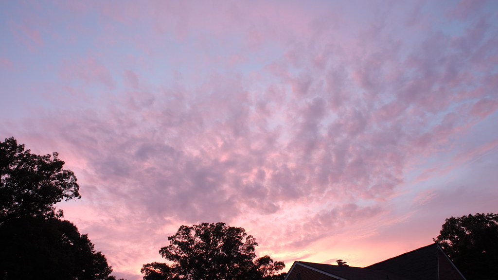
写真

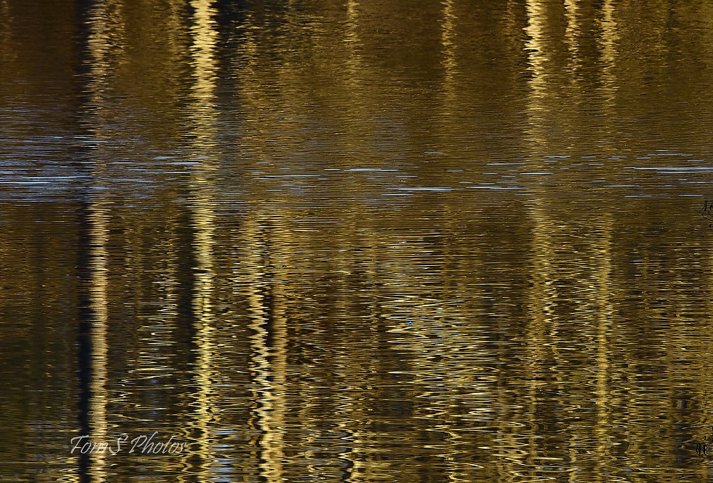
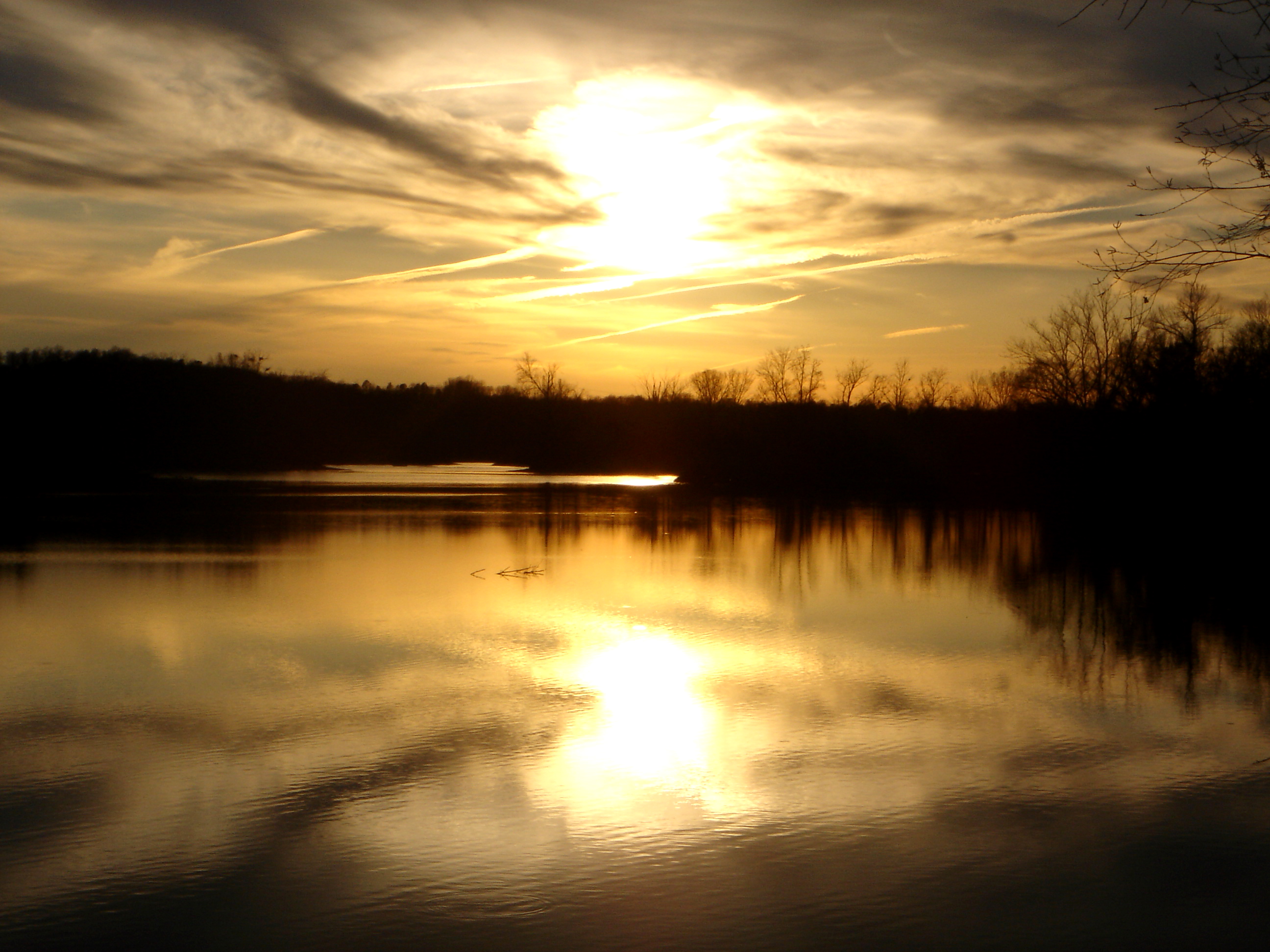
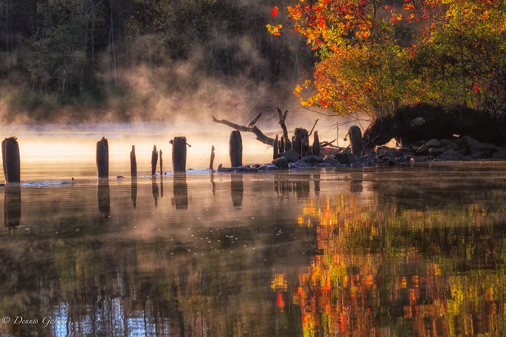
lone lake
No birds but…
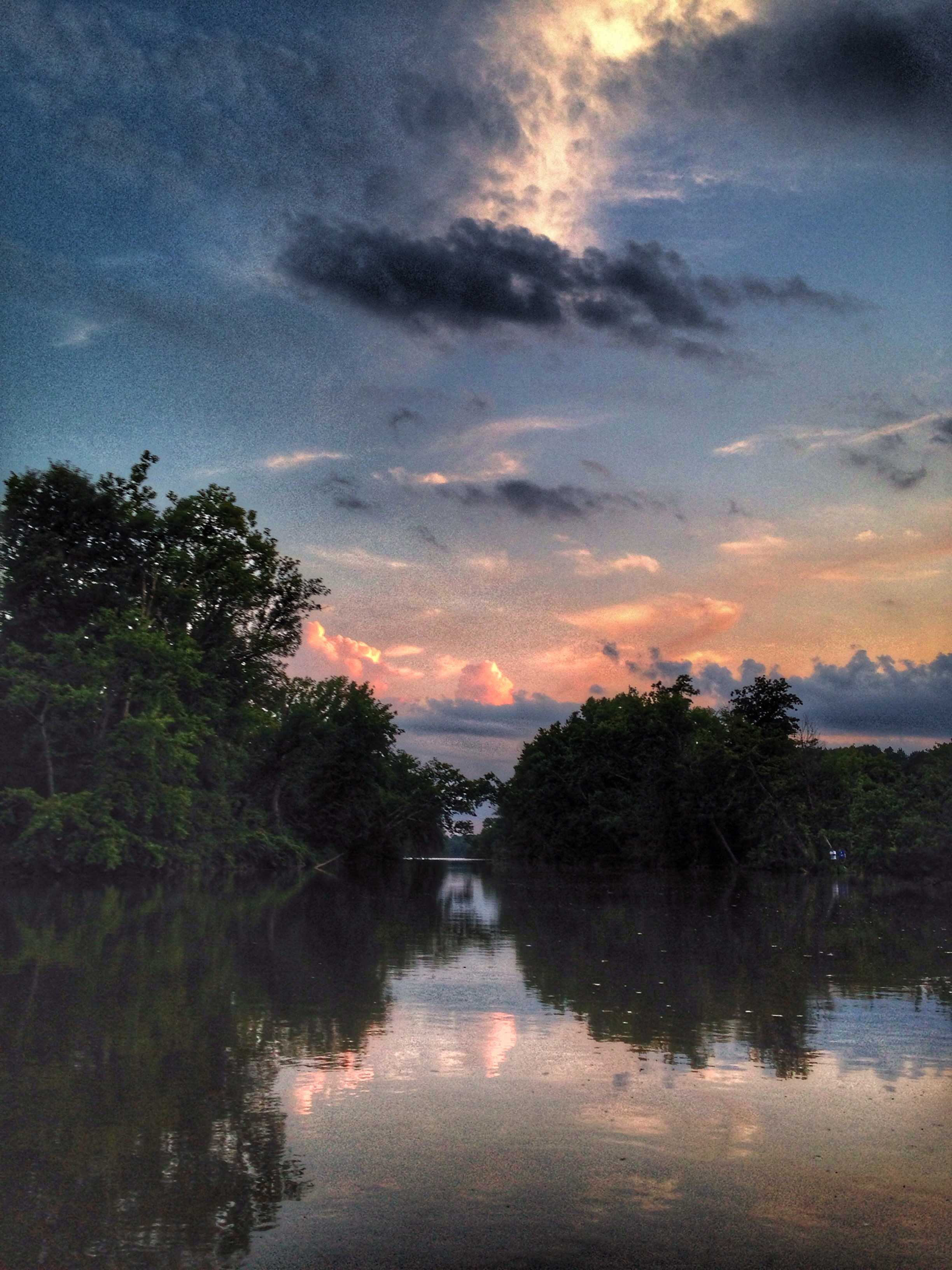
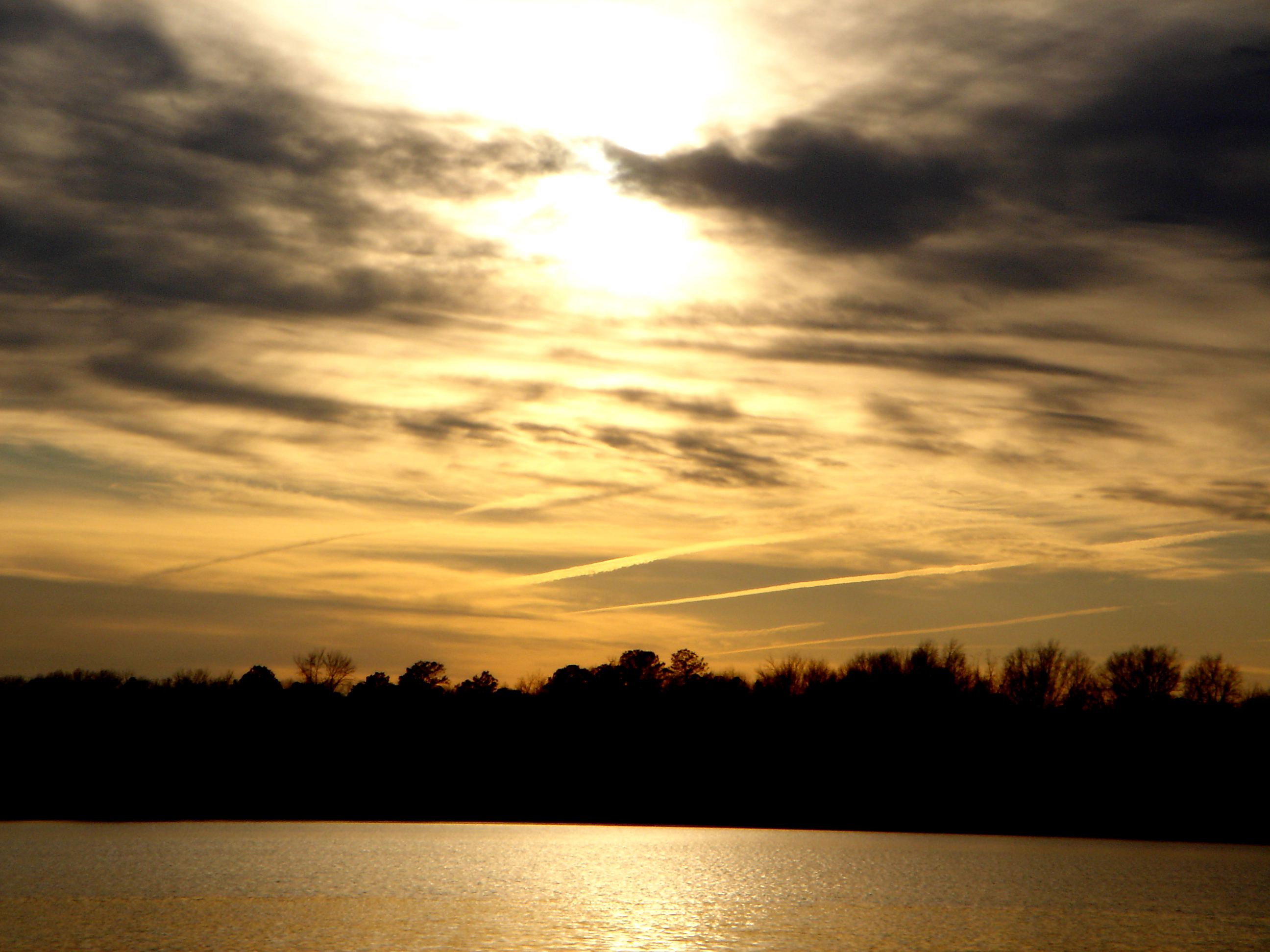
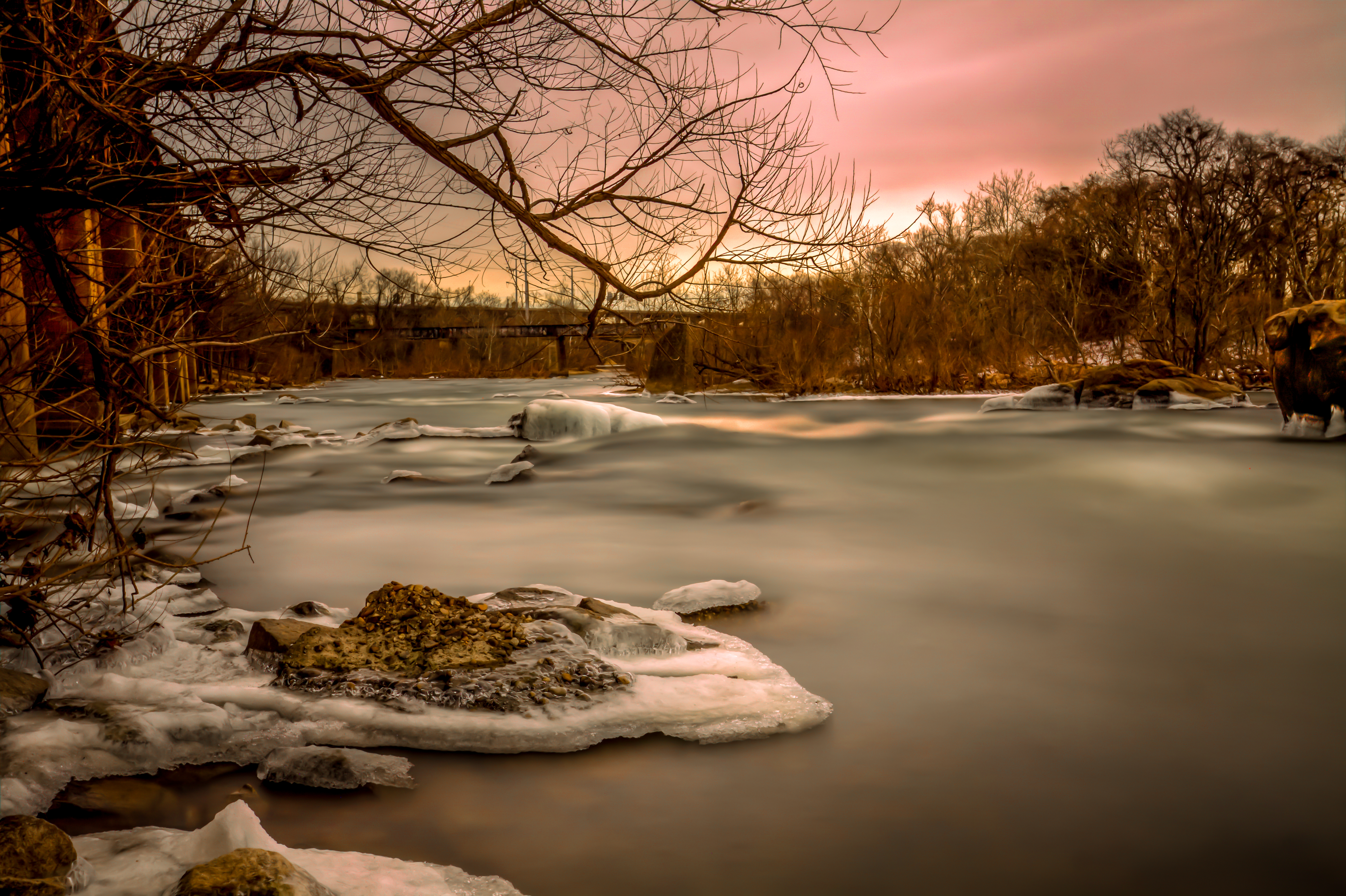
Four Mile Creek sunset
Insert cloud terminology here.
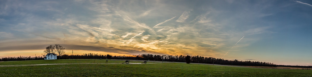
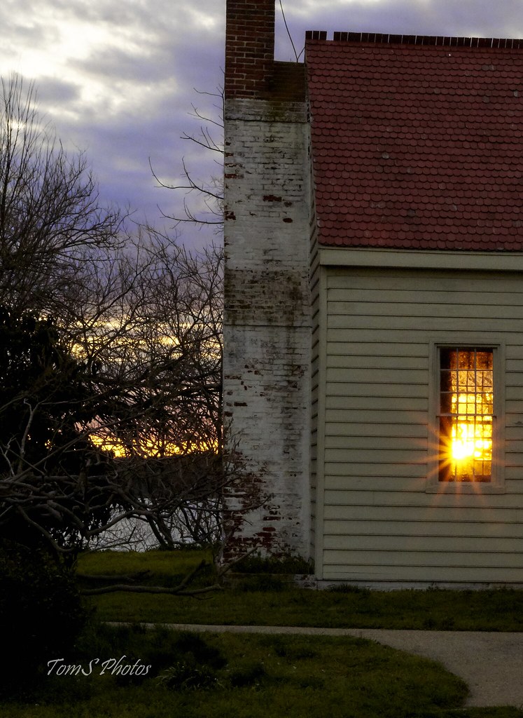
Malvern Hill Battlefield sun set-1
Hurricane Irene; friday's banded sunset
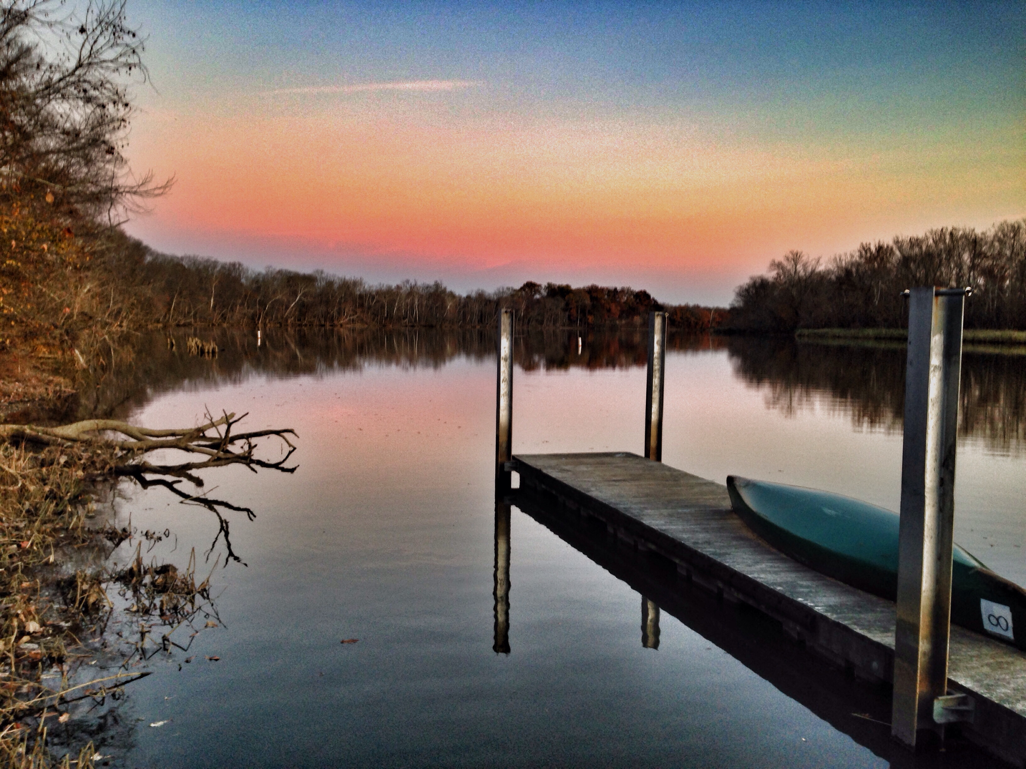
James River at Deep Bottom Nov 26 2017

MORNING PATHS II
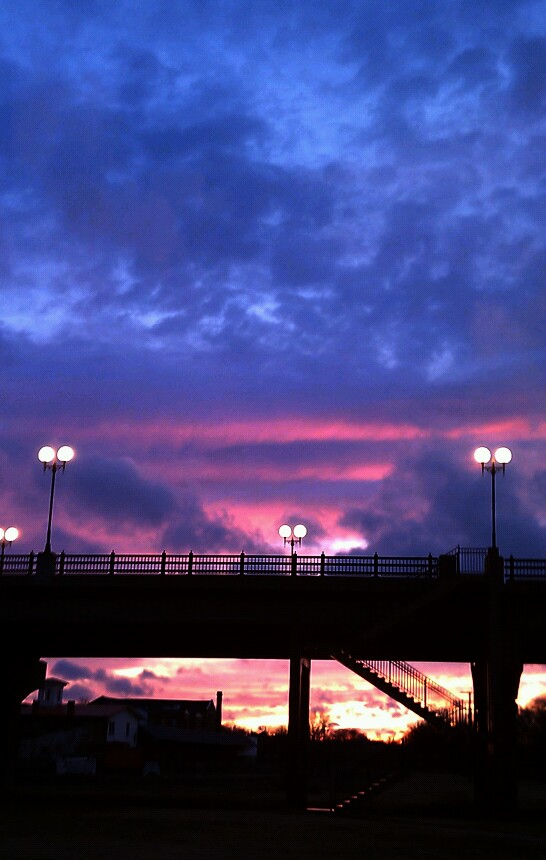
MLK bridge between Petersburg and Colonial Heights Va.
7/6/2011 (303/365) - Two-Tone Sky
“Keep your face to the sunshine and you cannot see a shadow.” ~Helen Keller

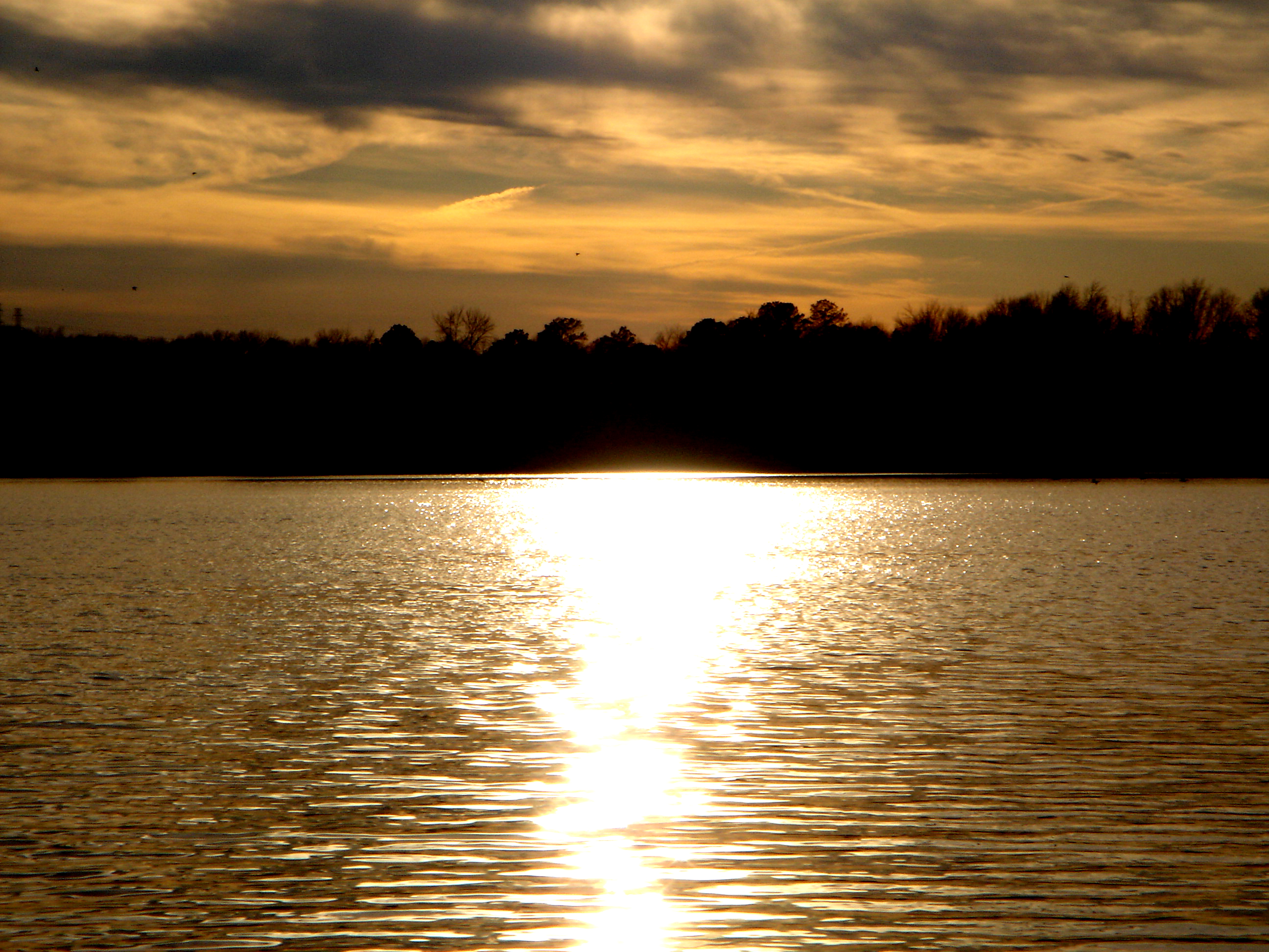
SHIRLEY PLANTATION POND AMBER
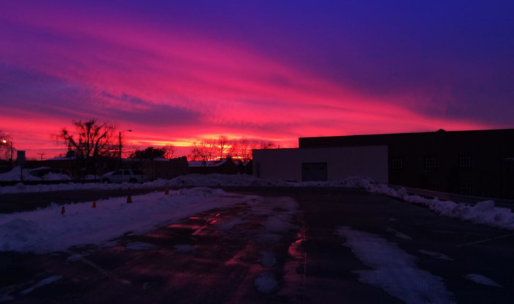
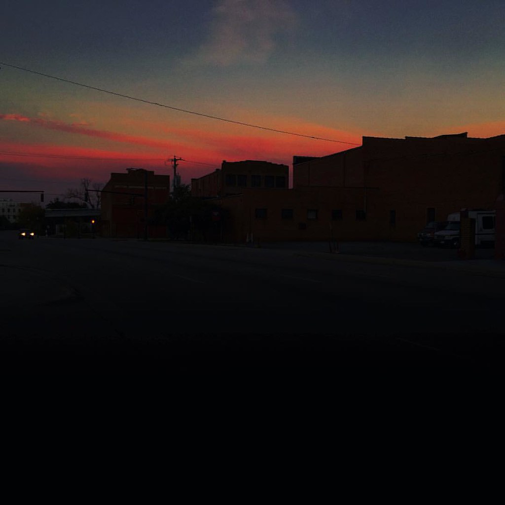
Sunset on the messy streets of downtown Petersburg. #snowstormjonas #sunset

Orange Delight

2010 070
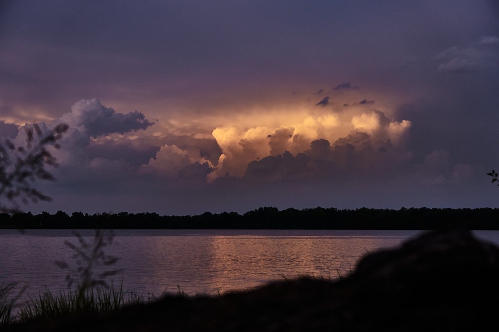
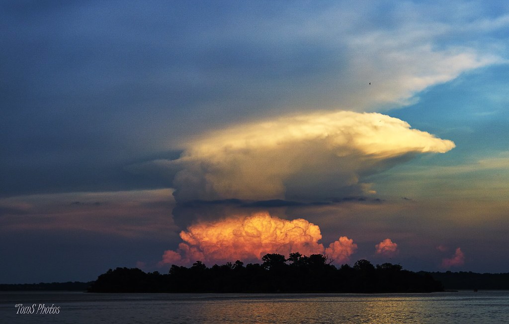
Calm Waters, Stormy Sky (Explored)
"C"
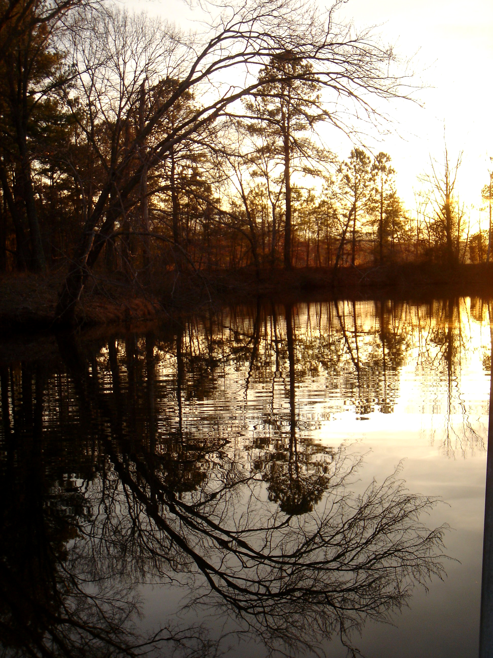
Mirror Mirror
Yellow Sky

Nice sunset
Yellow Brick Road

Sunrise at Malvern Hill

IMG_2129_30_31_32_33 pm.jpg
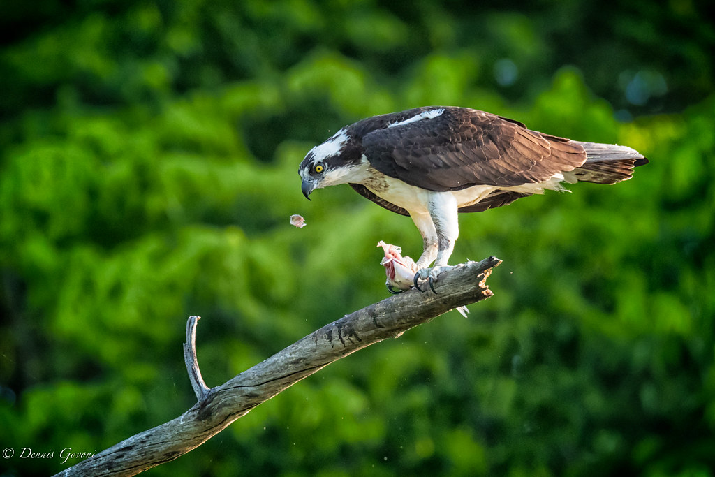
One Claw Grab
Oh No!
@angela_g1 and I enjoyed this morning sky last Saturday morning. #sunrise #urban
Breakfast for Me

Flying Below Radar

Driftwood on the Appomattox River
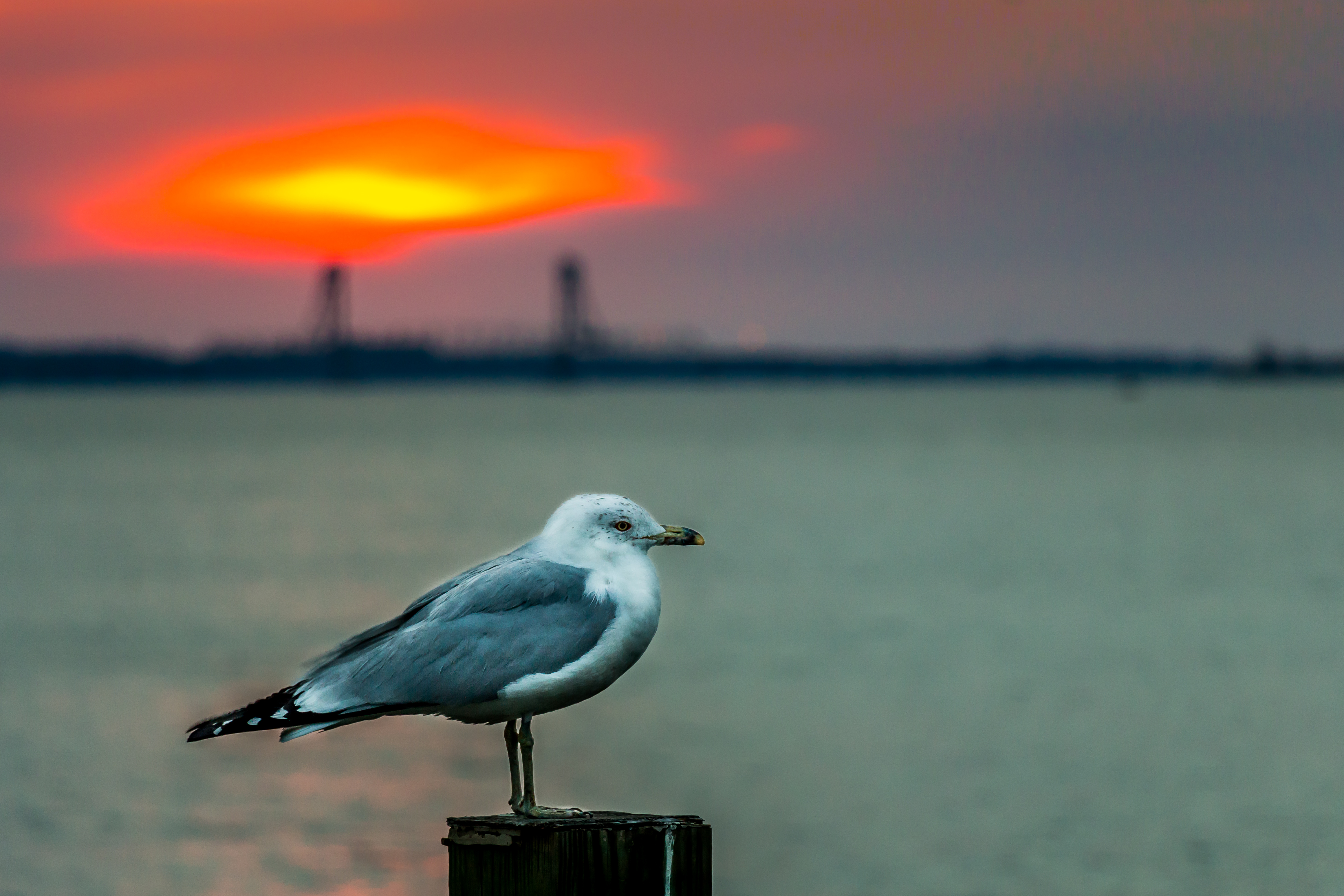
Seagull at sunrise
IMG_2410_1_2 PM.jpg
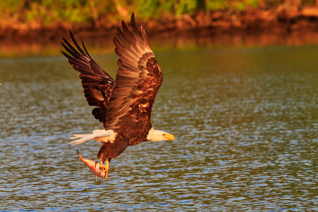
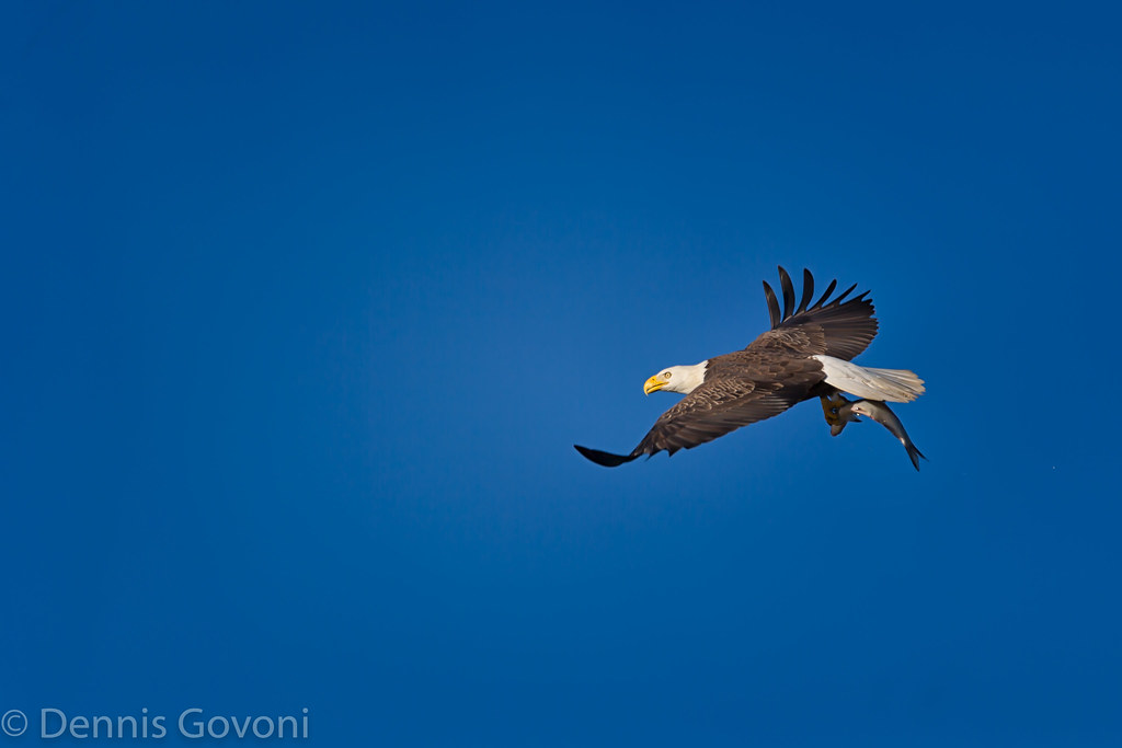
After the Catch
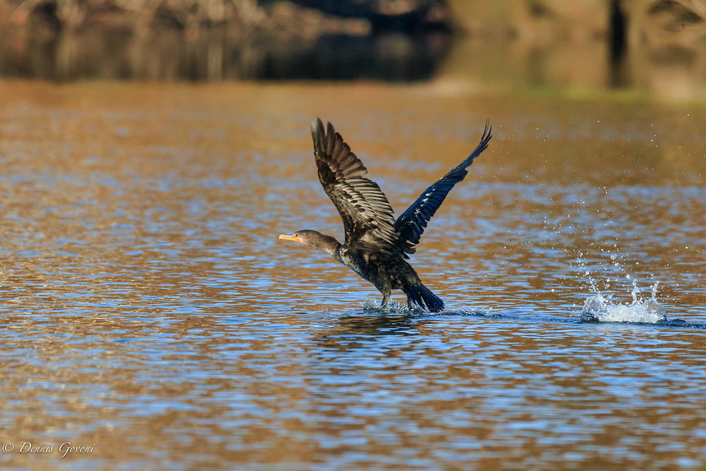
Cormorant Takeoff
Back to the Nest

Photo taken yesterday morning of the sunrise. #cloudcollector #rvawx
Sunrise on the #Amtrak AutoTrain near Richmond, VA
Enjoying the Morning Sun
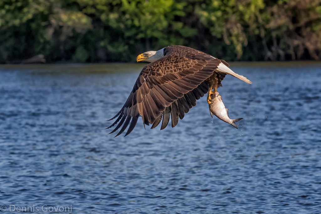
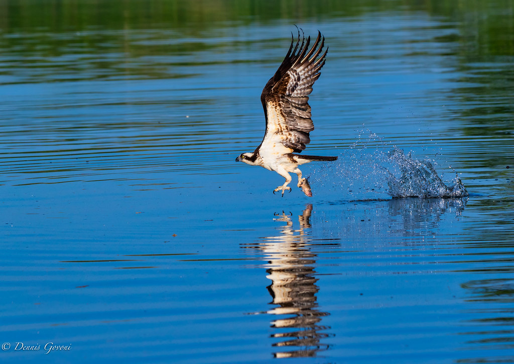
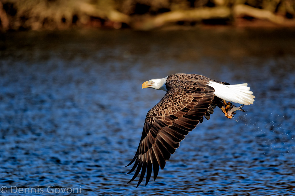
Shad on the Talons
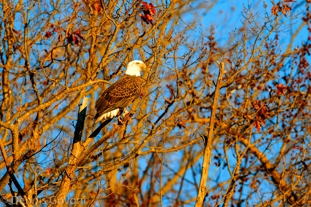
Eagle and Fall Colors
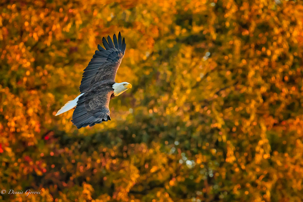
Gone with the Wind

I Don't Smile for the Camera
Dove Path Ln, Colonial Heights, VA アメリカ合衆国の地図
別の場所を検索
近所の場所
Ruffin Mill Rd, Colonial Heights, VA アメリカ合衆国
アメリカ合衆国 バージニア州 バミューダ
Woods Edge Rd, Colonial Heights, VA アメリカ合衆国
W Hundred Rd, Chester, VA アメリカ合衆国Hooters
アメリカ合衆国 〒 バージニア州 コロニアル・ハイツ
Moose Ln, Colonial Heights, VA アメリカ合衆国
アメリカ合衆国 〒 バージニア州 コロニアル・ハイツ コンユラーズ・ネック
Exhall Dr, Chester, VA アメリカ合衆国
White Bank Rd, Colonial Heights, VA アメリカ合衆国ホワイト・バンク・パーク
Mistwood Forest Ct, Chester, VA アメリカ合衆国
W Hundred Rd, Chester, VA アメリカ合衆国Chick-fil-A
Taylor Ln, Colonial Heights, VA アメリカ合衆国
Clifton Dr, Colonial Heights, VA アメリカ合衆国
Taylor Ln, Colonial Heights, VA アメリカ合衆国
Deerwood Dr, Colonial Heights, VA アメリカ合衆国Deerwood Drive
Juniper Rd, Prince George, VA アメリカ合衆国
Gary Ave, Chester, VA アメリカ合衆国
Edgewood Dr, Chester, VA アメリカ合衆国
Stone Manor Cir, Chester, VA アメリカ合衆国
Stoney Creek Ct, Chester, VA アメリカ合衆国
最近の検索
- Groblershoop, South Africa日の出日の入り時間
- Petriti, Greece日の出日の入り時間
- Chesaw Rd, Oroville, WA アメリカ合衆国日の出日の入り時間
- N, Mt Pleasant, UT アメリカ合衆国日の出日の入り時間
- Kawanecho Sasamado, Shimada, Shizuoka -, Japan日の出日の入り時間
- 6 Rue Jules Ferry, Beausoleil, France日の出日の入り時間
- スペイン 〒 ビスカヤ オチャンディオ日の出日の入り時間
- Sattva Horizon, 4JC6+G9P, Vinayak Nagar, Kattigenahalli, Bengaluru, Karnataka, India日の出日の入り時間
- 日本、〒- 静岡県富士宮市北山富士山日の出日の入り時間
- Laurel Rd, Townsend, TN アメリカ合衆国日の出日の入り時間