アメリカ合衆国 〒 カリフォルニア州 デスカンソ日の出日の入り時間
Location: アメリカ合衆国 > カリフォルニア州 > サンディエゴ >
時間帯:
America/Los_Angeles
現地時間:
2024-05-04 16:10:33
経度:
-116.6158525
緯度:
32.8528287
今日の日の出時刻:
05:54:21 AM
今日の日の入時刻:
07:31:49 PM
今日の日長:
13h 37m 28s
明日の日の出時刻:
05:53:28 AM
明日の日の入時刻:
07:32:34 PM
明日の日長:
13h 39m 6s
すべて表示する
| 日付 | 日出 | 日没 | 日長 |
|---|---|---|---|
| 2024年01月01日 | 06:49:08 AM | 04:51:32 PM | 10h 2m 24s |
| 2024年01月02日 | 06:49:18 AM | 04:52:17 PM | 10h 2m 59s |
| 2024年01月03日 | 06:49:27 AM | 04:53:04 PM | 10h 3m 37s |
| 2024年01月04日 | 06:49:34 AM | 04:53:51 PM | 10h 4m 17s |
| 2024年01月05日 | 06:49:39 AM | 04:54:39 PM | 10h 5m 0s |
| 2024年01月06日 | 06:49:42 AM | 04:55:28 PM | 10h 5m 46s |
| 2024年01月07日 | 06:49:44 AM | 04:56:18 PM | 10h 6m 34s |
| 2024年01月08日 | 06:49:43 AM | 04:57:08 PM | 10h 7m 25s |
| 2024年01月09日 | 06:49:41 AM | 04:58:00 PM | 10h 8m 19s |
| 2024年01月10日 | 06:49:37 AM | 04:58:52 PM | 10h 9m 15s |
| 2024年01月11日 | 06:49:32 AM | 04:59:44 PM | 10h 10m 12s |
| 2024年01月12日 | 06:49:24 AM | 05:00:37 PM | 10h 11m 13s |
| 2024年01月13日 | 06:49:15 AM | 05:01:31 PM | 10h 12m 16s |
| 2024年01月14日 | 06:49:04 AM | 05:02:25 PM | 10h 13m 21s |
| 2024年01月15日 | 06:48:51 AM | 05:03:20 PM | 10h 14m 29s |
| 2024年01月16日 | 06:48:36 AM | 05:04:15 PM | 10h 15m 39s |
| 2024年01月17日 | 06:48:20 AM | 05:05:11 PM | 10h 16m 51s |
| 2024年01月18日 | 06:48:01 AM | 05:06:06 PM | 10h 18m 5s |
| 2024年01月19日 | 06:47:41 AM | 05:07:03 PM | 10h 19m 22s |
| 2024年01月20日 | 06:47:20 AM | 05:07:59 PM | 10h 20m 39s |
| 2024年01月21日 | 06:46:56 AM | 05:08:56 PM | 10h 22m 0s |
| 2024年01月22日 | 06:46:31 AM | 05:09:52 PM | 10h 23m 21s |
| 2024年01月23日 | 06:46:04 AM | 05:10:49 PM | 10h 24m 45s |
| 2024年01月24日 | 06:45:36 AM | 05:11:46 PM | 10h 26m 10s |
| 2024年01月25日 | 06:45:05 AM | 05:12:43 PM | 10h 27m 38s |
| 2024年01月26日 | 06:44:34 AM | 05:13:40 PM | 10h 29m 6s |
| 2024年01月27日 | 06:44:00 AM | 05:14:37 PM | 10h 30m 37s |
| 2024年01月28日 | 06:43:25 AM | 05:15:34 PM | 10h 32m 9s |
| 2024年01月29日 | 06:42:48 AM | 05:16:32 PM | 10h 33m 44s |
| 2024年01月30日 | 06:42:10 AM | 05:17:28 PM | 10h 35m 18s |
| 2024年01月31日 | 06:41:31 AM | 05:18:25 PM | 10h 36m 54s |
| 2024年02月01日 | 06:40:49 AM | 05:19:22 PM | 10h 38m 33s |
| 2024年02月02日 | 06:40:07 AM | 05:20:19 PM | 10h 40m 12s |
| 2024年02月03日 | 06:39:23 AM | 05:21:15 PM | 10h 41m 52s |
| 2024年02月04日 | 06:38:37 AM | 05:22:11 PM | 10h 43m 34s |
| 2024年02月05日 | 06:37:50 AM | 05:23:07 PM | 10h 45m 17s |
| 2024年02月06日 | 06:37:02 AM | 05:24:03 PM | 10h 47m 1s |
| 2024年02月07日 | 06:36:12 AM | 05:24:58 PM | 10h 48m 46s |
| 2024年02月08日 | 06:35:21 AM | 05:25:53 PM | 10h 50m 32s |
| 2024年02月09日 | 06:34:29 AM | 05:26:48 PM | 10h 52m 19s |
| 2024年02月10日 | 06:33:35 AM | 05:27:43 PM | 10h 54m 8s |
| 2024年02月11日 | 06:32:41 AM | 05:28:37 PM | 10h 55m 56s |
| 2024年02月12日 | 06:31:45 AM | 05:29:31 PM | 10h 57m 46s |
| 2024年02月13日 | 06:30:48 AM | 05:30:25 PM | 10h 59m 37s |
| 2024年02月14日 | 06:29:49 AM | 05:31:19 PM | 11h 1m 30s |
| 2024年02月15日 | 06:28:50 AM | 05:32:12 PM | 11h 3m 22s |
| 2024年02月16日 | 06:27:50 AM | 05:33:04 PM | 11h 5m 14s |
| 2024年02月17日 | 06:26:48 AM | 05:33:57 PM | 11h 7m 9s |
| 2024年02月18日 | 06:25:46 AM | 05:34:49 PM | 11h 9m 3s |
| 2024年02月19日 | 06:24:42 AM | 05:35:40 PM | 11h 10m 58s |
| 2024年02月20日 | 06:23:38 AM | 05:36:31 PM | 11h 12m 53s |
| 2024年02月21日 | 06:22:32 AM | 05:37:22 PM | 11h 14m 50s |
| 2024年02月22日 | 06:21:26 AM | 05:38:13 PM | 11h 16m 47s |
| 2024年02月23日 | 06:20:19 AM | 05:39:03 PM | 11h 18m 44s |
| 2024年02月24日 | 06:19:11 AM | 05:39:53 PM | 11h 20m 42s |
| 2024年02月25日 | 06:18:02 AM | 05:40:42 PM | 11h 22m 40s |
| 2024年02月26日 | 06:16:52 AM | 05:41:32 PM | 11h 24m 40s |
| 2024年02月27日 | 06:15:42 AM | 05:42:20 PM | 11h 26m 38s |
| 2024年02月28日 | 06:14:31 AM | 05:43:09 PM | 11h 28m 38s |
| 2024年02月29日 | 06:13:19 AM | 05:43:57 PM | 11h 30m 38s |
| 2024年03月01日 | 06:12:07 AM | 05:44:45 PM | 11h 32m 38s |
| 2024年03月02日 | 06:10:54 AM | 05:45:32 PM | 11h 34m 38s |
| 2024年03月03日 | 06:09:41 AM | 05:46:19 PM | 11h 36m 38s |
| 2024年03月04日 | 06:08:26 AM | 05:47:06 PM | 11h 38m 40s |
| 2024年03月05日 | 06:07:12 AM | 05:47:53 PM | 11h 40m 41s |
| 2024年03月06日 | 06:05:57 AM | 05:48:39 PM | 11h 42m 42s |
| 2024年03月07日 | 06:04:41 AM | 05:49:25 PM | 11h 44m 44s |
| 2024年03月08日 | 06:03:25 AM | 05:50:11 PM | 11h 46m 46s |
| 2024年03月09日 | 06:02:08 AM | 05:50:56 PM | 11h 48m 48s |
| 2024年03月10日 | 07:00:55 AM | 06:51:40 PM | 11h 50m 45s |
| 2024年03月11日 | 06:59:38 AM | 06:52:25 PM | 11h 52m 47s |
| 2024年03月12日 | 06:58:20 AM | 06:53:09 PM | 11h 54m 49s |
| 2024年03月13日 | 06:57:02 AM | 06:53:54 PM | 11h 56m 52s |
| 2024年03月14日 | 06:55:44 AM | 06:54:38 PM | 11h 58m 54s |
| 2024年03月15日 | 06:54:26 AM | 06:55:23 PM | 12h 0m 57s |
| 2024年03月16日 | 06:53:07 AM | 06:56:07 PM | 12h 3m 0s |
| 2024年03月17日 | 06:51:49 AM | 06:56:50 PM | 12h 5m 1s |
| 2024年03月18日 | 06:50:30 AM | 06:57:34 PM | 12h 7m 4s |
| 2024年03月19日 | 06:49:11 AM | 06:58:17 PM | 12h 9m 6s |
| 2024年03月20日 | 06:47:52 AM | 06:59:01 PM | 12h 11m 9s |
| 2024年03月21日 | 06:46:32 AM | 06:59:44 PM | 12h 13m 12s |
| 2024年03月22日 | 06:45:13 AM | 07:00:27 PM | 12h 15m 14s |
| 2024年03月23日 | 06:43:54 AM | 07:01:10 PM | 12h 17m 16s |
| 2024年03月24日 | 06:42:35 AM | 07:01:53 PM | 12h 19m 18s |
| 2024年03月25日 | 06:41:16 AM | 07:02:36 PM | 12h 21m 20s |
| 2024年03月26日 | 06:39:57 AM | 07:03:19 PM | 12h 23m 22s |
| 2024年03月27日 | 06:38:38 AM | 07:04:02 PM | 12h 25m 24s |
| 2024年03月28日 | 06:37:19 AM | 07:04:44 PM | 12h 27m 25s |
| 2024年03月29日 | 06:36:01 AM | 07:05:27 PM | 12h 29m 26s |
| 2024年03月30日 | 06:34:42 AM | 07:06:10 PM | 12h 31m 28s |
| 2024年03月31日 | 06:33:24 AM | 07:06:52 PM | 12h 33m 28s |
| 2024年04月01日 | 06:32:06 AM | 07:07:35 PM | 12h 35m 29s |
| 2024年04月02日 | 06:30:49 AM | 07:08:17 PM | 12h 37m 28s |
| 2024年04月03日 | 06:29:31 AM | 07:09:00 PM | 12h 39m 29s |
| 2024年04月04日 | 06:28:14 AM | 07:09:43 PM | 12h 41m 29s |
| 2024年04月05日 | 06:26:58 AM | 07:10:25 PM | 12h 43m 27s |
| 2024年04月06日 | 06:25:41 AM | 07:11:08 PM | 12h 45m 27s |
| 2024年04月07日 | 06:24:26 AM | 07:11:51 PM | 12h 47m 25s |
| 2024年04月08日 | 06:23:10 AM | 07:12:34 PM | 12h 49m 24s |
| 2024年04月09日 | 06:21:55 AM | 07:13:17 PM | 12h 51m 22s |
| 2024年04月10日 | 06:20:41 AM | 07:14:00 PM | 12h 53m 19s |
| 2024年04月11日 | 06:19:27 AM | 07:14:43 PM | 12h 55m 16s |
| 2024年04月12日 | 06:18:14 AM | 07:15:26 PM | 12h 57m 12s |
| 2024年04月13日 | 06:17:01 AM | 07:16:09 PM | 12h 59m 8s |
| 2024年04月14日 | 06:15:49 AM | 07:16:52 PM | 13h 1m 3s |
| 2024年04月15日 | 06:14:38 AM | 07:17:36 PM | 13h 2m 58s |
| 2024年04月16日 | 06:13:27 AM | 07:18:19 PM | 13h 4m 52s |
| 2024年04月17日 | 06:12:17 AM | 07:19:03 PM | 13h 6m 46s |
| 2024年04月18日 | 06:11:08 AM | 07:19:46 PM | 13h 8m 38s |
| 2024年04月19日 | 06:09:59 AM | 07:20:30 PM | 13h 10m 31s |
| 2024年04月20日 | 06:08:52 AM | 07:21:14 PM | 13h 12m 22s |
| 2024年04月21日 | 06:07:45 AM | 07:21:58 PM | 13h 14m 13s |
| 2024年04月22日 | 06:06:39 AM | 07:22:42 PM | 13h 16m 3s |
| 2024年04月23日 | 06:05:33 AM | 07:23:26 PM | 13h 17m 53s |
| 2024年04月24日 | 06:04:29 AM | 07:24:10 PM | 13h 19m 41s |
| 2024年04月25日 | 06:03:26 AM | 07:24:54 PM | 13h 21m 28s |
| 2024年04月26日 | 06:02:23 AM | 07:25:38 PM | 13h 23m 15s |
| 2024年04月27日 | 06:01:22 AM | 07:26:22 PM | 13h 25m 0s |
| 2024年04月28日 | 06:00:21 AM | 07:27:07 PM | 13h 26m 46s |
| 2024年04月29日 | 05:59:22 AM | 07:27:51 PM | 13h 28m 29s |
| 2024年04月30日 | 05:58:23 AM | 07:28:35 PM | 13h 30m 12s |
| 2024年05月01日 | 05:57:26 AM | 07:29:20 PM | 13h 31m 54s |
| 2024年05月02日 | 05:56:30 AM | 07:30:04 PM | 13h 33m 34s |
| 2024年05月03日 | 05:55:35 AM | 07:30:48 PM | 13h 35m 13s |
| 2024年05月04日 | 05:54:41 AM | 07:31:33 PM | 13h 36m 52s |
| 2024年05月05日 | 05:53:48 AM | 07:32:17 PM | 13h 38m 29s |
| 2024年05月06日 | 05:52:56 AM | 07:33:01 PM | 13h 40m 5s |
| 2024年05月07日 | 05:52:06 AM | 07:33:45 PM | 13h 41m 39s |
| 2024年05月08日 | 05:51:17 AM | 07:34:29 PM | 13h 43m 12s |
| 2024年05月09日 | 05:50:29 AM | 07:35:13 PM | 13h 44m 44s |
| 2024年05月10日 | 05:49:42 AM | 07:35:57 PM | 13h 46m 15s |
| 2024年05月11日 | 05:48:57 AM | 07:36:41 PM | 13h 47m 44s |
| 2024年05月12日 | 05:48:13 AM | 07:37:24 PM | 13h 49m 11s |
| 2024年05月13日 | 05:47:31 AM | 07:38:07 PM | 13h 50m 36s |
| 2024年05月14日 | 05:46:49 AM | 07:38:50 PM | 13h 52m 1s |
| 2024年05月15日 | 05:46:10 AM | 07:39:33 PM | 13h 53m 23s |
| 2024年05月16日 | 05:45:31 AM | 07:40:15 PM | 13h 54m 44s |
| 2024年05月17日 | 05:44:54 AM | 07:40:57 PM | 13h 56m 3s |
| 2024年05月18日 | 05:44:18 AM | 07:41:39 PM | 13h 57m 21s |
| 2024年05月19日 | 05:43:44 AM | 07:42:21 PM | 13h 58m 37s |
| 2024年05月20日 | 05:43:12 AM | 07:43:02 PM | 13h 59m 50s |
| 2024年05月21日 | 05:42:40 AM | 07:43:42 PM | 14h 1m 2s |
| 2024年05月22日 | 05:42:11 AM | 07:44:22 PM | 14h 2m 11s |
| 2024年05月23日 | 05:41:42 AM | 07:45:02 PM | 14h 3m 20s |
| 2024年05月24日 | 05:41:16 AM | 07:45:41 PM | 14h 4m 25s |
| 2024年05月25日 | 05:40:50 AM | 07:46:20 PM | 14h 5m 30s |
| 2024年05月26日 | 05:40:27 AM | 07:46:58 PM | 14h 6m 31s |
| 2024年05月27日 | 05:40:05 AM | 07:47:35 PM | 14h 7m 30s |
| 2024年05月28日 | 05:39:44 AM | 07:48:12 PM | 14h 8m 28s |
| 2024年05月29日 | 05:39:25 AM | 07:48:48 PM | 14h 9m 23s |
| 2024年05月30日 | 05:39:07 AM | 07:49:23 PM | 14h 10m 16s |
| 2024年05月31日 | 05:38:51 AM | 07:49:58 PM | 14h 11m 7s |
| 2024年06月01日 | 05:38:37 AM | 07:50:32 PM | 14h 11m 55s |
| 2024年06月02日 | 05:38:24 AM | 07:51:05 PM | 14h 12m 41s |
| 2024年06月03日 | 05:38:13 AM | 07:51:37 PM | 14h 13m 24s |
| 2024年06月04日 | 05:38:03 AM | 07:52:08 PM | 14h 14m 5s |
| 2024年06月05日 | 05:37:55 AM | 07:52:38 PM | 14h 14m 43s |
| 2024年06月06日 | 05:37:48 AM | 07:53:08 PM | 14h 15m 20s |
| 2024年06月07日 | 05:37:43 AM | 07:53:36 PM | 14h 15m 53s |
| 2024年06月08日 | 05:37:39 AM | 07:54:04 PM | 14h 16m 25s |
| 2024年06月09日 | 05:37:37 AM | 07:54:30 PM | 14h 16m 53s |
| 2024年06月10日 | 05:37:36 AM | 07:54:55 PM | 14h 17m 19s |
| 2024年06月11日 | 05:37:37 AM | 07:55:19 PM | 14h 17m 42s |
| 2024年06月12日 | 05:37:39 AM | 07:55:42 PM | 14h 18m 3s |
| 2024年06月13日 | 05:37:43 AM | 07:56:04 PM | 14h 18m 21s |
| 2024年06月14日 | 05:37:48 AM | 07:56:24 PM | 14h 18m 36s |
| 2024年06月15日 | 05:37:55 AM | 07:56:44 PM | 14h 18m 49s |
| 2024年06月16日 | 05:38:03 AM | 07:57:02 PM | 14h 18m 59s |
| 2024年06月17日 | 05:38:12 AM | 07:57:19 PM | 14h 19m 7s |
| 2024年06月18日 | 05:38:23 AM | 07:57:34 PM | 14h 19m 11s |
| 2024年06月19日 | 05:38:35 AM | 07:57:48 PM | 14h 19m 13s |
| 2024年06月20日 | 05:38:48 AM | 07:58:01 PM | 14h 19m 13s |
| 2024年06月21日 | 05:39:03 AM | 07:58:12 PM | 14h 19m 9s |
| 2024年06月22日 | 05:39:19 AM | 07:58:22 PM | 14h 19m 3s |
| 2024年06月23日 | 05:39:36 AM | 07:58:30 PM | 14h 18m 54s |
| 2024年06月24日 | 05:39:55 AM | 07:58:37 PM | 14h 18m 42s |
| 2024年06月25日 | 05:40:14 AM | 07:58:43 PM | 14h 18m 29s |
| 2024年06月26日 | 05:40:35 AM | 07:58:47 PM | 14h 18m 12s |
| 2024年06月27日 | 05:40:57 AM | 07:58:50 PM | 14h 17m 53s |
| 2024年06月28日 | 05:41:20 AM | 07:58:51 PM | 14h 17m 31s |
| 2024年06月29日 | 05:41:44 AM | 07:58:50 PM | 14h 17m 6s |
| 2024年06月30日 | 05:42:09 AM | 07:58:48 PM | 14h 16m 39s |
| 2024年07月01日 | 05:42:35 AM | 07:58:44 PM | 14h 16m 9s |
| 2024年07月02日 | 05:43:02 AM | 07:58:39 PM | 14h 15m 37s |
| 2024年07月03日 | 05:43:30 AM | 07:58:32 PM | 14h 15m 2s |
| 2024年07月04日 | 05:43:59 AM | 07:58:24 PM | 14h 14m 25s |
| 2024年07月05日 | 05:44:29 AM | 07:58:14 PM | 14h 13m 45s |
| 2024年07月06日 | 05:44:59 AM | 07:58:03 PM | 14h 13m 4s |
| 2024年07月07日 | 05:45:31 AM | 07:57:50 PM | 14h 12m 19s |
| 2024年07月08日 | 05:46:03 AM | 07:57:35 PM | 14h 11m 32s |
| 2024年07月09日 | 05:46:36 AM | 07:57:19 PM | 14h 10m 43s |
| 2024年07月10日 | 05:47:09 AM | 07:57:01 PM | 14h 9m 52s |
| 2024年07月11日 | 05:47:43 AM | 07:56:42 PM | 14h 8m 59s |
| 2024年07月12日 | 05:48:18 AM | 07:56:21 PM | 14h 8m 3s |
| 2024年07月13日 | 05:48:54 AM | 07:55:58 PM | 14h 7m 4s |
| 2024年07月14日 | 05:49:30 AM | 07:55:34 PM | 14h 6m 4s |
| 2024年07月15日 | 05:50:06 AM | 07:55:08 PM | 14h 5m 2s |
| 2024年07月16日 | 05:50:43 AM | 07:54:41 PM | 14h 3m 58s |
| 2024年07月17日 | 05:51:21 AM | 07:54:12 PM | 14h 2m 51s |
| 2024年07月18日 | 05:51:59 AM | 07:53:42 PM | 14h 1m 43s |
| 2024年07月19日 | 05:52:37 AM | 07:53:10 PM | 14h 0m 33s |
| 2024年07月20日 | 05:53:16 AM | 07:52:37 PM | 13h 59m 21s |
| 2024年07月21日 | 05:53:55 AM | 07:52:02 PM | 13h 58m 7s |
| 2024年07月22日 | 05:54:34 AM | 07:51:25 PM | 13h 56m 51s |
| 2024年07月23日 | 05:55:14 AM | 07:50:48 PM | 13h 55m 34s |
| 2024年07月24日 | 05:55:54 AM | 07:50:08 PM | 13h 54m 14s |
| 2024年07月25日 | 05:56:34 AM | 07:49:28 PM | 13h 52m 54s |
| 2024年07月26日 | 05:57:14 AM | 07:48:46 PM | 13h 51m 32s |
| 2024年07月27日 | 05:57:55 AM | 07:48:02 PM | 13h 50m 7s |
| 2024年07月28日 | 05:58:35 AM | 07:47:17 PM | 13h 48m 42s |
| 2024年07月29日 | 05:59:16 AM | 07:46:31 PM | 13h 47m 15s |
| 2024年07月30日 | 05:59:57 AM | 07:45:44 PM | 13h 45m 47s |
| 2024年07月31日 | 06:00:38 AM | 07:44:55 PM | 13h 44m 17s |
| 2024年08月01日 | 06:01:19 AM | 07:44:05 PM | 13h 42m 46s |
| 2024年08月02日 | 06:02:00 AM | 07:43:13 PM | 13h 41m 13s |
| 2024年08月03日 | 06:02:42 AM | 07:42:21 PM | 13h 39m 39s |
| 2024年08月04日 | 06:03:23 AM | 07:41:27 PM | 13h 38m 4s |
| 2024年08月05日 | 06:04:04 AM | 07:40:32 PM | 13h 36m 28s |
| 2024年08月06日 | 06:04:45 AM | 07:39:36 PM | 13h 34m 51s |
| 2024年08月07日 | 06:05:27 AM | 07:38:38 PM | 13h 33m 11s |
| 2024年08月08日 | 06:06:08 AM | 07:37:40 PM | 13h 31m 32s |
| 2024年08月09日 | 06:06:49 AM | 07:36:40 PM | 13h 29m 51s |
| 2024年08月10日 | 06:07:30 AM | 07:35:39 PM | 13h 28m 9s |
| 2024年08月11日 | 06:08:11 AM | 07:34:38 PM | 13h 26m 27s |
| 2024年08月12日 | 06:08:52 AM | 07:33:35 PM | 13h 24m 43s |
| 2024年08月13日 | 06:09:33 AM | 07:32:31 PM | 13h 22m 58s |
| 2024年08月14日 | 06:10:13 AM | 07:31:26 PM | 13h 21m 13s |
| 2024年08月15日 | 06:10:54 AM | 07:30:21 PM | 13h 19m 27s |
| 2024年08月16日 | 06:11:35 AM | 07:29:14 PM | 13h 17m 39s |
| 2024年08月17日 | 06:12:15 AM | 07:28:06 PM | 13h 15m 51s |
| 2024年08月18日 | 06:12:55 AM | 07:26:58 PM | 13h 14m 3s |
| 2024年08月19日 | 06:13:36 AM | 07:25:49 PM | 13h 12m 13s |
| 2024年08月20日 | 06:14:16 AM | 07:24:39 PM | 13h 10m 23s |
| 2024年08月21日 | 06:14:56 AM | 07:23:28 PM | 13h 8m 32s |
| 2024年08月22日 | 06:15:35 AM | 07:22:17 PM | 13h 6m 42s |
| 2024年08月23日 | 06:16:15 AM | 07:21:04 PM | 13h 4m 49s |
| 2024年08月24日 | 06:16:55 AM | 07:19:51 PM | 13h 2m 56s |
| 2024年08月25日 | 06:17:34 AM | 07:18:38 PM | 13h 1m 4s |
| 2024年08月26日 | 06:18:14 AM | 07:17:23 PM | 12h 59m 9s |
| 2024年08月27日 | 06:18:53 AM | 07:16:08 PM | 12h 57m 15s |
| 2024年08月28日 | 06:19:32 AM | 07:14:53 PM | 12h 55m 21s |
| 2024年08月29日 | 06:20:11 AM | 07:13:37 PM | 12h 53m 26s |
| 2024年08月30日 | 06:20:50 AM | 07:12:20 PM | 12h 51m 30s |
| 2024年08月31日 | 06:21:29 AM | 07:11:03 PM | 12h 49m 34s |
| 2024年09月01日 | 06:22:08 AM | 07:09:45 PM | 12h 47m 37s |
| 2024年09月02日 | 06:22:47 AM | 07:08:27 PM | 12h 45m 40s |
| 2024年09月03日 | 06:23:25 AM | 07:07:09 PM | 12h 43m 44s |
| 2024年09月04日 | 06:24:04 AM | 07:05:50 PM | 12h 41m 46s |
| 2024年09月05日 | 06:24:42 AM | 07:04:30 PM | 12h 39m 48s |
| 2024年09月06日 | 06:25:21 AM | 07:03:11 PM | 12h 37m 50s |
| 2024年09月07日 | 06:25:59 AM | 07:01:51 PM | 12h 35m 52s |
| 2024年09月08日 | 06:26:38 AM | 07:00:31 PM | 12h 33m 53s |
| 2024年09月09日 | 06:27:16 AM | 06:59:10 PM | 12h 31m 54s |
| 2024年09月10日 | 06:27:55 AM | 06:57:49 PM | 12h 29m 54s |
| 2024年09月11日 | 06:28:33 AM | 06:56:28 PM | 12h 27m 55s |
| 2024年09月12日 | 06:29:12 AM | 06:55:07 PM | 12h 25m 55s |
| 2024年09月13日 | 06:29:50 AM | 06:53:46 PM | 12h 23m 56s |
| 2024年09月14日 | 06:30:29 AM | 06:52:25 PM | 12h 21m 56s |
| 2024年09月15日 | 06:31:07 AM | 06:51:03 PM | 12h 19m 56s |
| 2024年09月16日 | 06:31:46 AM | 06:49:42 PM | 12h 17m 56s |
| 2024年09月17日 | 06:32:24 AM | 06:48:20 PM | 12h 15m 56s |
| 2024年09月18日 | 06:33:03 AM | 06:46:59 PM | 12h 13m 56s |
| 2024年09月19日 | 06:33:42 AM | 06:45:37 PM | 12h 11m 55s |
| 2024年09月20日 | 06:34:21 AM | 06:44:15 PM | 12h 9m 54s |
| 2024年09月21日 | 06:35:00 AM | 06:42:54 PM | 12h 7m 54s |
| 2024年09月22日 | 06:35:40 AM | 06:41:33 PM | 12h 5m 53s |
| 2024年09月23日 | 06:36:19 AM | 06:40:11 PM | 12h 3m 52s |
| 2024年09月24日 | 06:36:59 AM | 06:38:50 PM | 12h 1m 51s |
| 2024年09月25日 | 06:37:38 AM | 06:37:30 PM | 11h 59m 52s |
| 2024年09月26日 | 06:38:18 AM | 06:36:09 PM | 11h 57m 51s |
| 2024年09月27日 | 06:38:59 AM | 06:34:49 PM | 11h 55m 50s |
| 2024年09月28日 | 06:39:39 AM | 06:33:28 PM | 11h 53m 49s |
| 2024年09月29日 | 06:40:20 AM | 06:32:09 PM | 11h 51m 49s |
| 2024年09月30日 | 06:41:00 AM | 06:30:49 PM | 11h 49m 49s |
| 2024年10月01日 | 06:41:42 AM | 06:29:30 PM | 11h 47m 48s |
| 2024年10月02日 | 06:42:23 AM | 06:28:11 PM | 11h 45m 48s |
| 2024年10月03日 | 06:43:05 AM | 06:26:53 PM | 11h 43m 48s |
| 2024年10月04日 | 06:43:46 AM | 06:25:35 PM | 11h 41m 49s |
| 2024年10月05日 | 06:44:29 AM | 06:24:18 PM | 11h 39m 49s |
| 2024年10月06日 | 06:45:11 AM | 06:23:01 PM | 11h 37m 50s |
| 2024年10月07日 | 06:45:54 AM | 06:21:45 PM | 11h 35m 51s |
| 2024年10月08日 | 06:46:37 AM | 06:20:29 PM | 11h 33m 52s |
| 2024年10月09日 | 06:47:21 AM | 06:19:14 PM | 11h 31m 53s |
| 2024年10月10日 | 06:48:04 AM | 06:17:59 PM | 11h 29m 55s |
| 2024年10月11日 | 06:48:48 AM | 06:16:46 PM | 11h 27m 58s |
| 2024年10月12日 | 06:49:33 AM | 06:15:32 PM | 11h 25m 59s |
| 2024年10月13日 | 06:50:18 AM | 06:14:20 PM | 11h 24m 2s |
| 2024年10月14日 | 06:51:03 AM | 06:13:08 PM | 11h 22m 5s |
| 2024年10月15日 | 06:51:49 AM | 06:11:57 PM | 11h 20m 8s |
| 2024年10月16日 | 06:52:35 AM | 06:10:47 PM | 11h 18m 12s |
| 2024年10月17日 | 06:53:21 AM | 06:09:38 PM | 11h 16m 17s |
| 2024年10月18日 | 06:54:08 AM | 06:08:30 PM | 11h 14m 22s |
| 2024年10月19日 | 06:54:55 AM | 06:07:22 PM | 11h 12m 27s |
| 2024年10月20日 | 06:55:42 AM | 06:06:16 PM | 11h 10m 34s |
| 2024年10月21日 | 06:56:30 AM | 06:05:10 PM | 11h 8m 40s |
| 2024年10月22日 | 06:57:18 AM | 06:04:05 PM | 11h 6m 47s |
| 2024年10月23日 | 06:58:07 AM | 06:03:02 PM | 11h 4m 55s |
| 2024年10月24日 | 06:58:56 AM | 06:01:59 PM | 11h 3m 3s |
| 2024年10月25日 | 06:59:45 AM | 06:00:58 PM | 11h 1m 13s |
| 2024年10月26日 | 07:00:35 AM | 05:59:58 PM | 10h 59m 23s |
| 2024年10月27日 | 07:01:25 AM | 05:58:58 PM | 10h 57m 33s |
| 2024年10月28日 | 07:02:16 AM | 05:58:00 PM | 10h 55m 44s |
| 2024年10月29日 | 07:03:07 AM | 05:57:03 PM | 10h 53m 56s |
| 2024年10月30日 | 07:03:58 AM | 05:56:08 PM | 10h 52m 10s |
| 2024年10月31日 | 07:04:49 AM | 05:55:14 PM | 10h 50m 25s |
| 2024年11月01日 | 07:05:41 AM | 05:54:20 PM | 10h 48m 39s |
| 2024年11月02日 | 07:06:33 AM | 05:53:29 PM | 10h 46m 56s |
| 2024年11月03日 | 06:07:28 AM | 04:52:36 PM | 10h 45m 8s |
| 2024年11月04日 | 06:08:21 AM | 04:51:47 PM | 10h 43m 26s |
| 2024年11月05日 | 06:09:14 AM | 04:51:00 PM | 10h 41m 46s |
| 2024年11月06日 | 06:10:07 AM | 04:50:14 PM | 10h 40m 7s |
| 2024年11月07日 | 06:11:00 AM | 04:49:29 PM | 10h 38m 29s |
| 2024年11月08日 | 06:11:54 AM | 04:48:46 PM | 10h 36m 52s |
| 2024年11月09日 | 06:12:48 AM | 04:48:04 PM | 10h 35m 16s |
| 2024年11月10日 | 06:13:42 AM | 04:47:24 PM | 10h 33m 42s |
| 2024年11月11日 | 06:14:36 AM | 04:46:46 PM | 10h 32m 10s |
| 2024年11月12日 | 06:15:30 AM | 04:46:09 PM | 10h 30m 39s |
| 2024年11月13日 | 06:16:25 AM | 04:45:33 PM | 10h 29m 8s |
| 2024年11月14日 | 06:17:19 AM | 04:45:00 PM | 10h 27m 41s |
| 2024年11月15日 | 06:18:14 AM | 04:44:27 PM | 10h 26m 13s |
| 2024年11月16日 | 06:19:08 AM | 04:43:57 PM | 10h 24m 49s |
| 2024年11月17日 | 06:20:03 AM | 04:43:28 PM | 10h 23m 25s |
| 2024年11月18日 | 06:20:57 AM | 04:43:01 PM | 10h 22m 4s |
| 2024年11月19日 | 06:21:51 AM | 04:42:36 PM | 10h 20m 45s |
| 2024年11月20日 | 06:22:45 AM | 04:42:13 PM | 10h 19m 28s |
| 2024年11月21日 | 06:23:39 AM | 04:41:51 PM | 10h 18m 12s |
| 2024年11月22日 | 06:24:33 AM | 04:41:31 PM | 10h 16m 58s |
| 2024年11月23日 | 06:25:26 AM | 04:41:13 PM | 10h 15m 47s |
| 2024年11月24日 | 06:26:20 AM | 04:40:56 PM | 10h 14m 36s |
| 2024年11月25日 | 06:27:12 AM | 04:40:42 PM | 10h 13m 30s |
| 2024年11月26日 | 06:28:05 AM | 04:40:29 PM | 10h 12m 24s |
| 2024年11月27日 | 06:28:57 AM | 04:40:18 PM | 10h 11m 21s |
| 2024年11月28日 | 06:29:48 AM | 04:40:09 PM | 10h 10m 21s |
| 2024年11月29日 | 06:30:40 AM | 04:40:02 PM | 10h 9m 22s |
| 2024年11月30日 | 06:31:30 AM | 04:39:56 PM | 10h 8m 26s |
| 2024年12月01日 | 06:32:20 AM | 04:39:53 PM | 10h 7m 33s |
| 2024年12月02日 | 06:33:09 AM | 04:39:51 PM | 10h 6m 42s |
| 2024年12月03日 | 06:33:58 AM | 04:39:51 PM | 10h 5m 53s |
| 2024年12月04日 | 06:34:46 AM | 04:39:53 PM | 10h 5m 7s |
| 2024年12月05日 | 06:35:33 AM | 04:39:57 PM | 10h 4m 24s |
| 2024年12月06日 | 06:36:19 AM | 04:40:03 PM | 10h 3m 44s |
| 2024年12月07日 | 06:37:05 AM | 04:40:10 PM | 10h 3m 5s |
| 2024年12月08日 | 06:37:49 AM | 04:40:19 PM | 10h 2m 30s |
| 2024年12月09日 | 06:38:33 AM | 04:40:31 PM | 10h 1m 58s |
| 2024年12月10日 | 06:39:15 AM | 04:40:43 PM | 10h 1m 28s |
| 2024年12月11日 | 06:39:57 AM | 04:40:58 PM | 10h 1m 1s |
| 2024年12月12日 | 06:40:37 AM | 04:41:14 PM | 10h 0m 37s |
| 2024年12月13日 | 06:41:16 AM | 04:41:33 PM | 10h 0m 17s |
| 2024年12月14日 | 06:41:54 AM | 04:41:52 PM | 9h 59m 58s |
| 2024年12月15日 | 06:42:31 AM | 04:42:14 PM | 9h 59m 43s |
| 2024年12月16日 | 06:43:07 AM | 04:42:37 PM | 9h 59m 30s |
| 2024年12月17日 | 06:43:41 AM | 04:43:02 PM | 9h 59m 21s |
| 2024年12月18日 | 06:44:14 AM | 04:43:28 PM | 9h 59m 14s |
| 2024年12月19日 | 06:44:46 AM | 04:43:56 PM | 9h 59m 10s |
| 2024年12月20日 | 06:45:16 AM | 04:44:26 PM | 9h 59m 10s |
| 2024年12月21日 | 06:45:44 AM | 04:44:57 PM | 9h 59m 13s |
| 2024年12月22日 | 06:46:12 AM | 04:45:29 PM | 9h 59m 17s |
| 2024年12月23日 | 06:46:37 AM | 04:46:03 PM | 9h 59m 26s |
| 2024年12月24日 | 06:47:01 AM | 04:46:38 PM | 9h 59m 37s |
| 2024年12月25日 | 06:47:24 AM | 04:47:15 PM | 9h 59m 51s |
| 2024年12月26日 | 06:47:45 AM | 04:47:53 PM | 10h 0m 8s |
| 2024年12月27日 | 06:48:04 AM | 04:48:32 PM | 10h 0m 28s |
| 2024年12月28日 | 06:48:22 AM | 04:49:13 PM | 10h 0m 51s |
| 2024年12月29日 | 06:48:38 AM | 04:49:54 PM | 10h 1m 16s |
| 2024年12月30日 | 06:48:52 AM | 04:50:37 PM | 10h 1m 45s |
写真

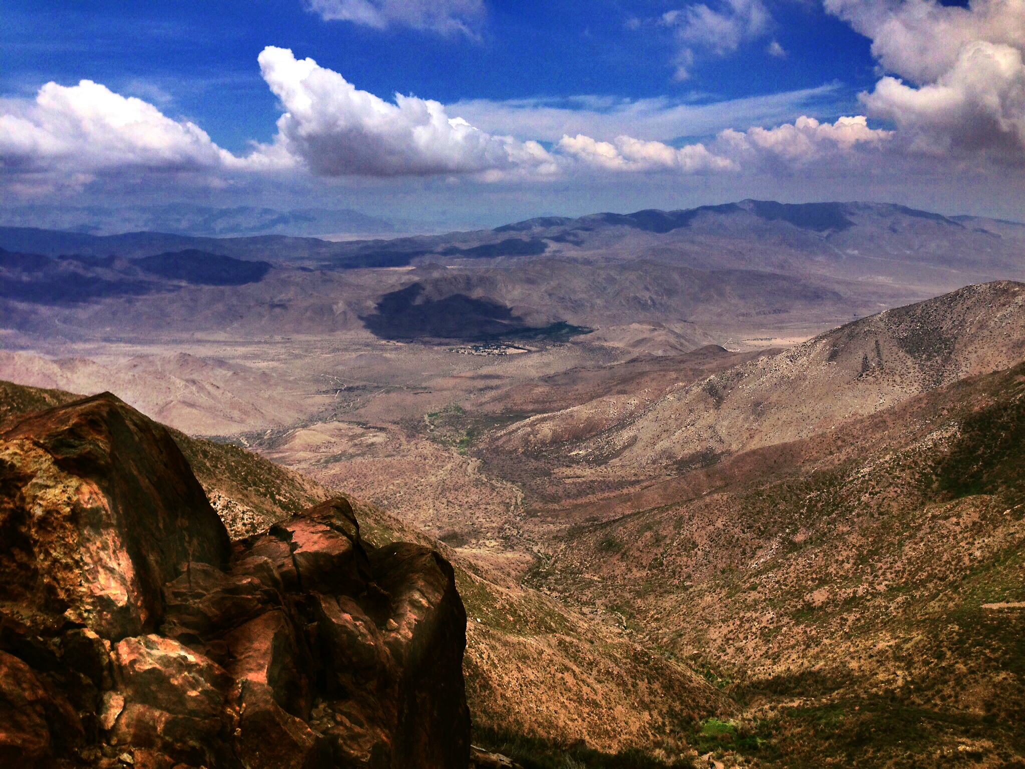
De Anza Borrego Desert, Ca. ⓒ
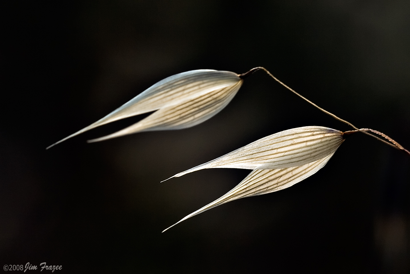
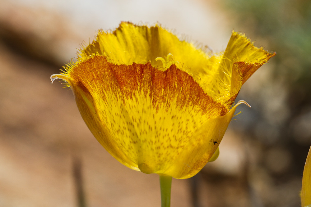
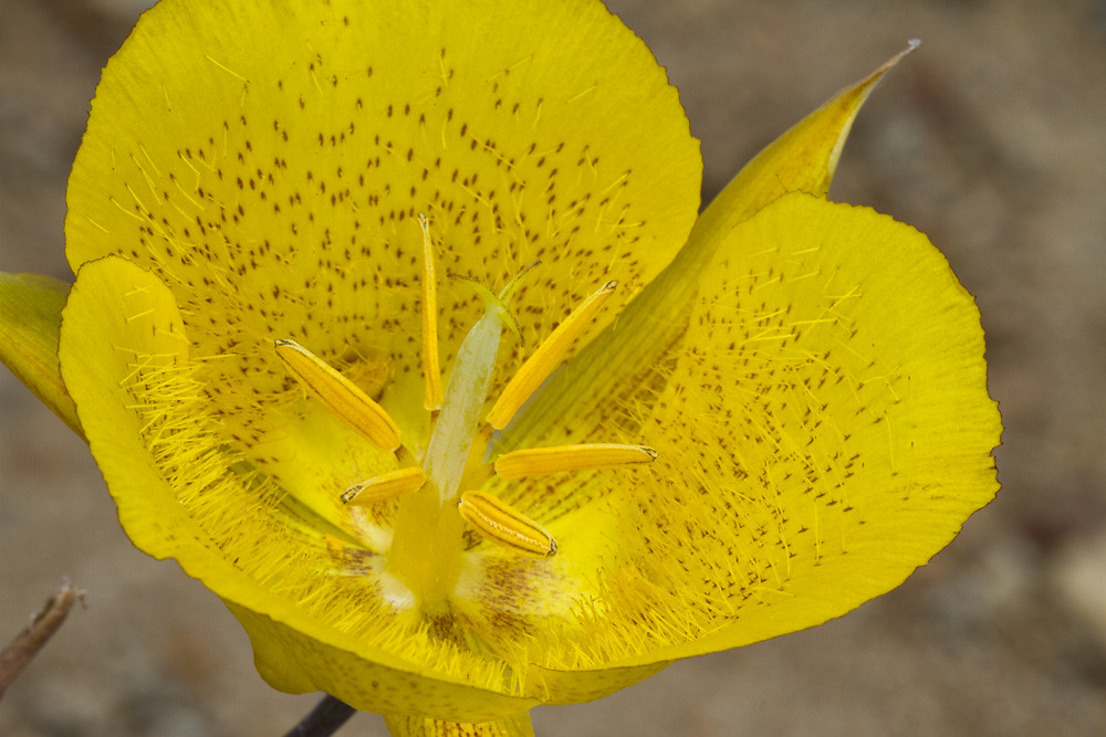
Wild Oats
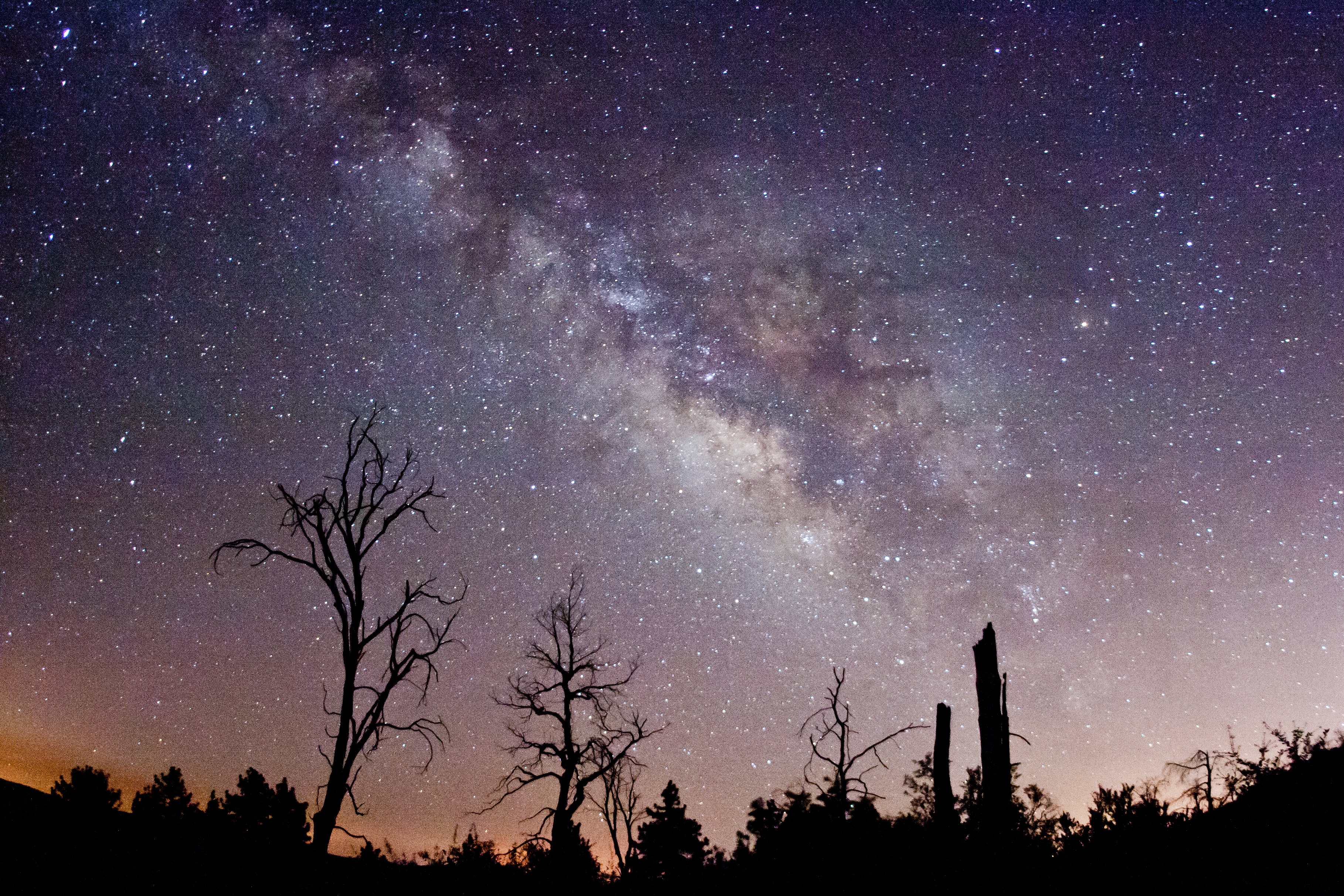
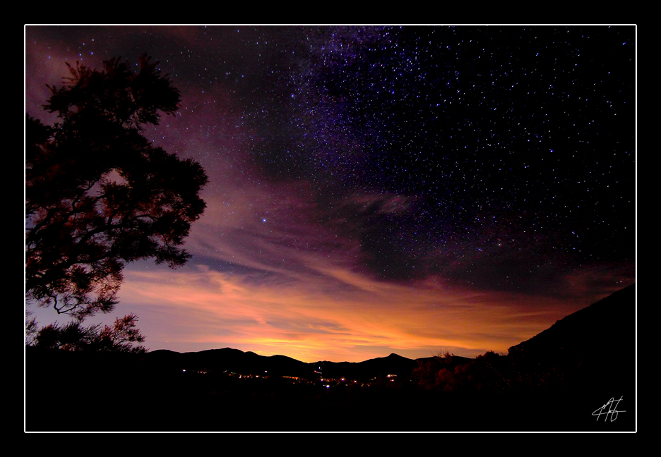
Via Lactea. Milky Way behind burnt trees. Cuyamaca Rancho State Park.

The Milky Way and fire-damaged trees. Paso Picacho Campground at Cuyamaca Rancho State Park
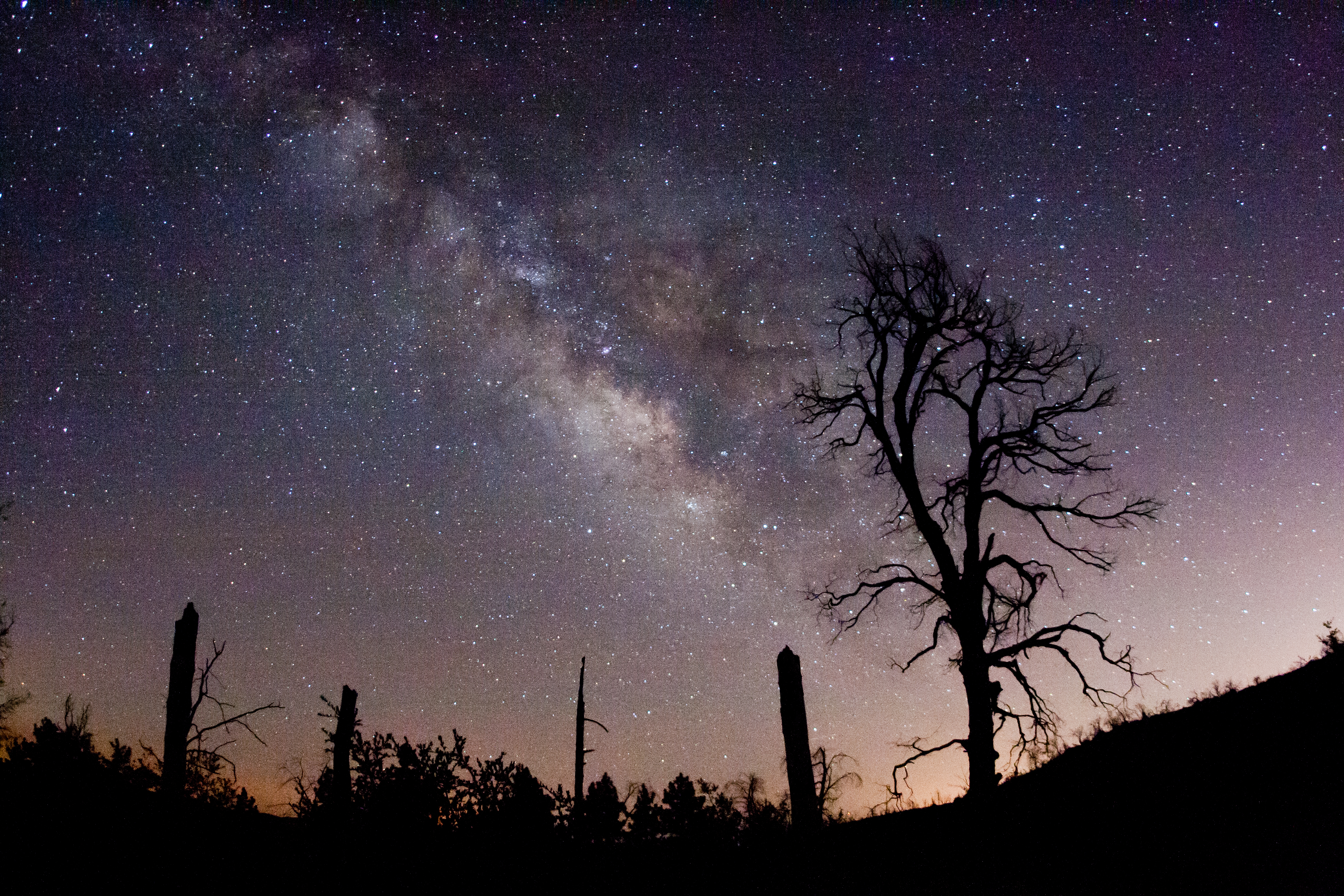
The Milky Way and fire-damaged trees. Paso Picacho Campground at Cuyamaca Rancho State Park
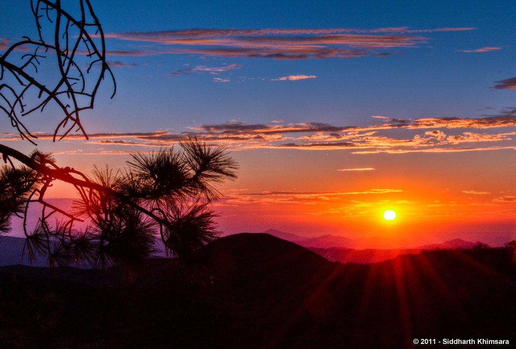
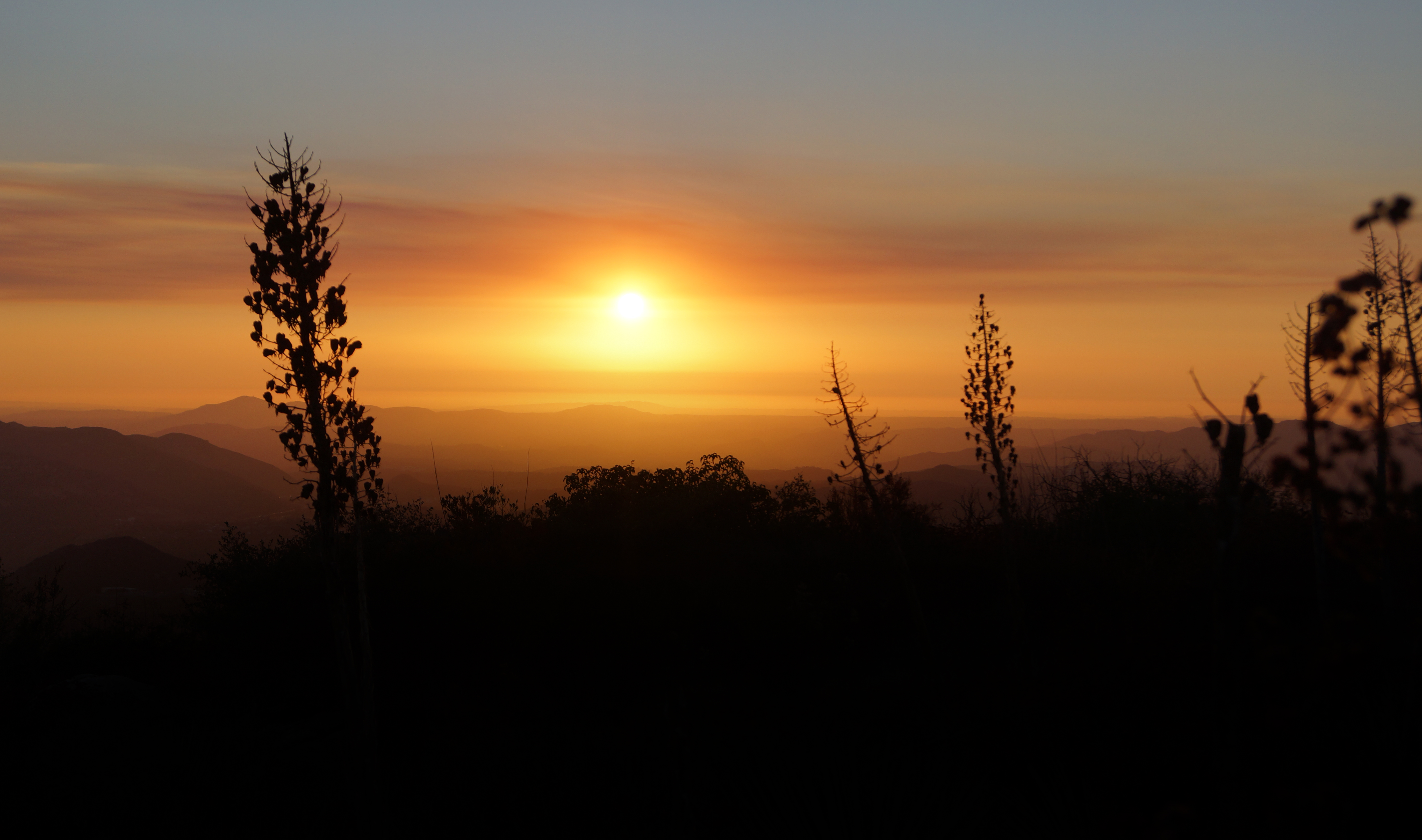
A Stunning Sunset from Sunrise Highway @ Mt.Laguna, Julian, CA

Optimized-02130.jpg
Vía Láctea

Milky Way and silhouettes of burnt trees in Cuyamaca Rancho State Park
Milky Way Panorama at Cuyamaca Rancho State Park. Different processing.
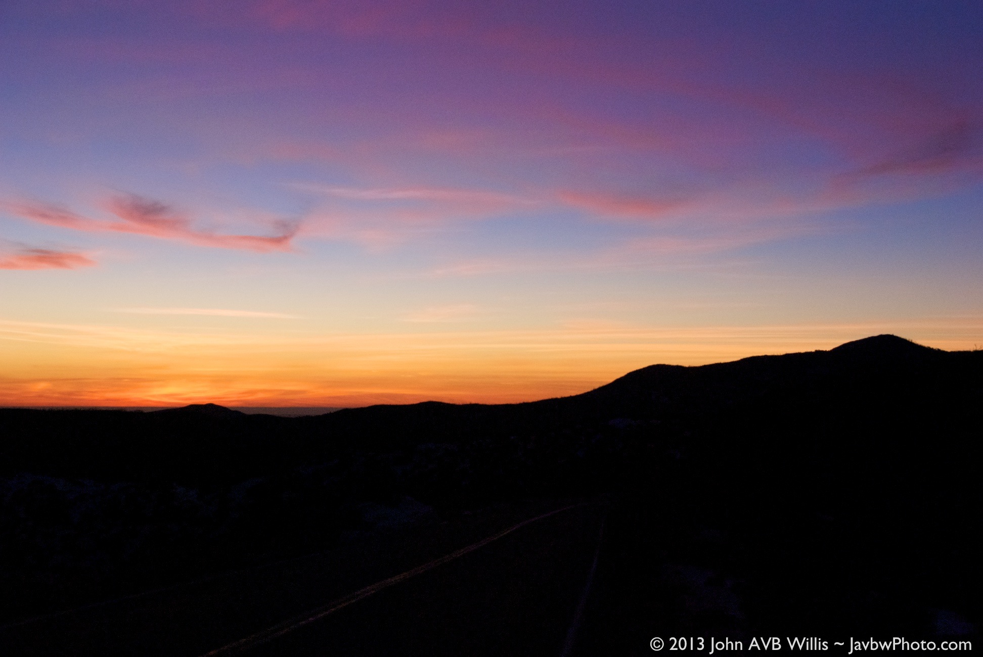
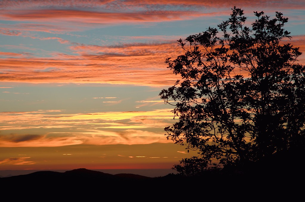
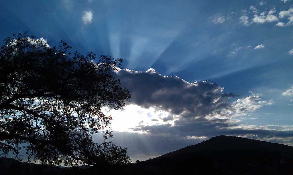
Mysterious Sunset
The night sky at Cuyamaca Rancho State Park
Laguna Sunset
APLINE SUNSET
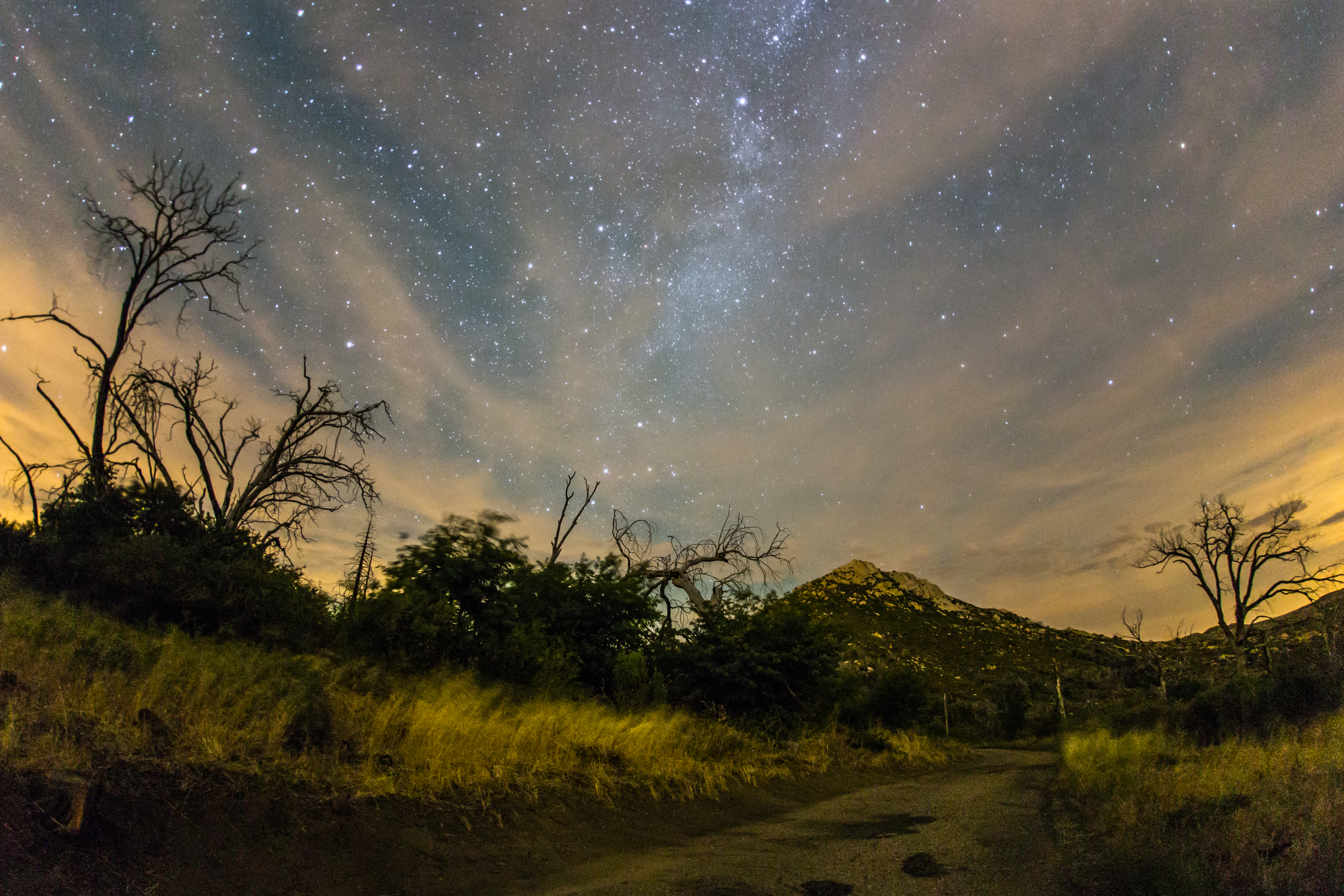
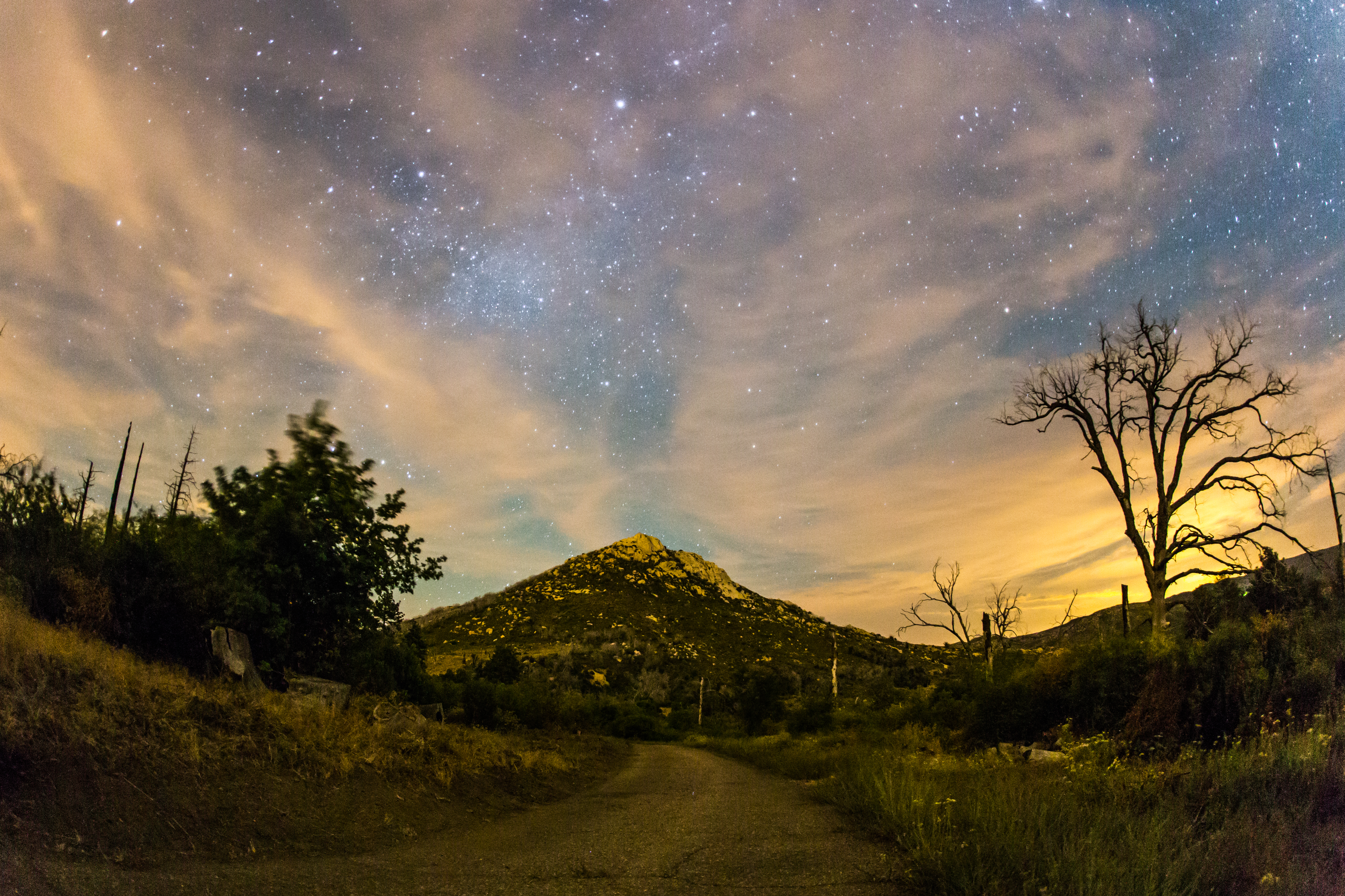
Stonewall Peak, Milky Way, and burnt trees on a cloudy night
Mount Laguna Park-0053
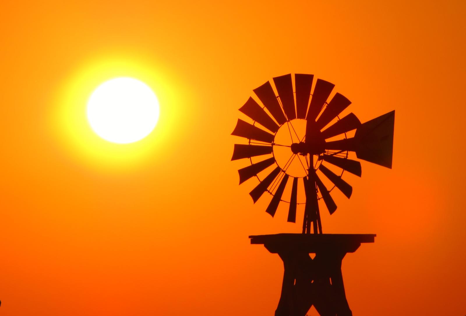
Sunset Windmill
Starry Night Sky
Stonewall Peak at nighttime. Milky Way, too.

Mount Laguna Park-0053
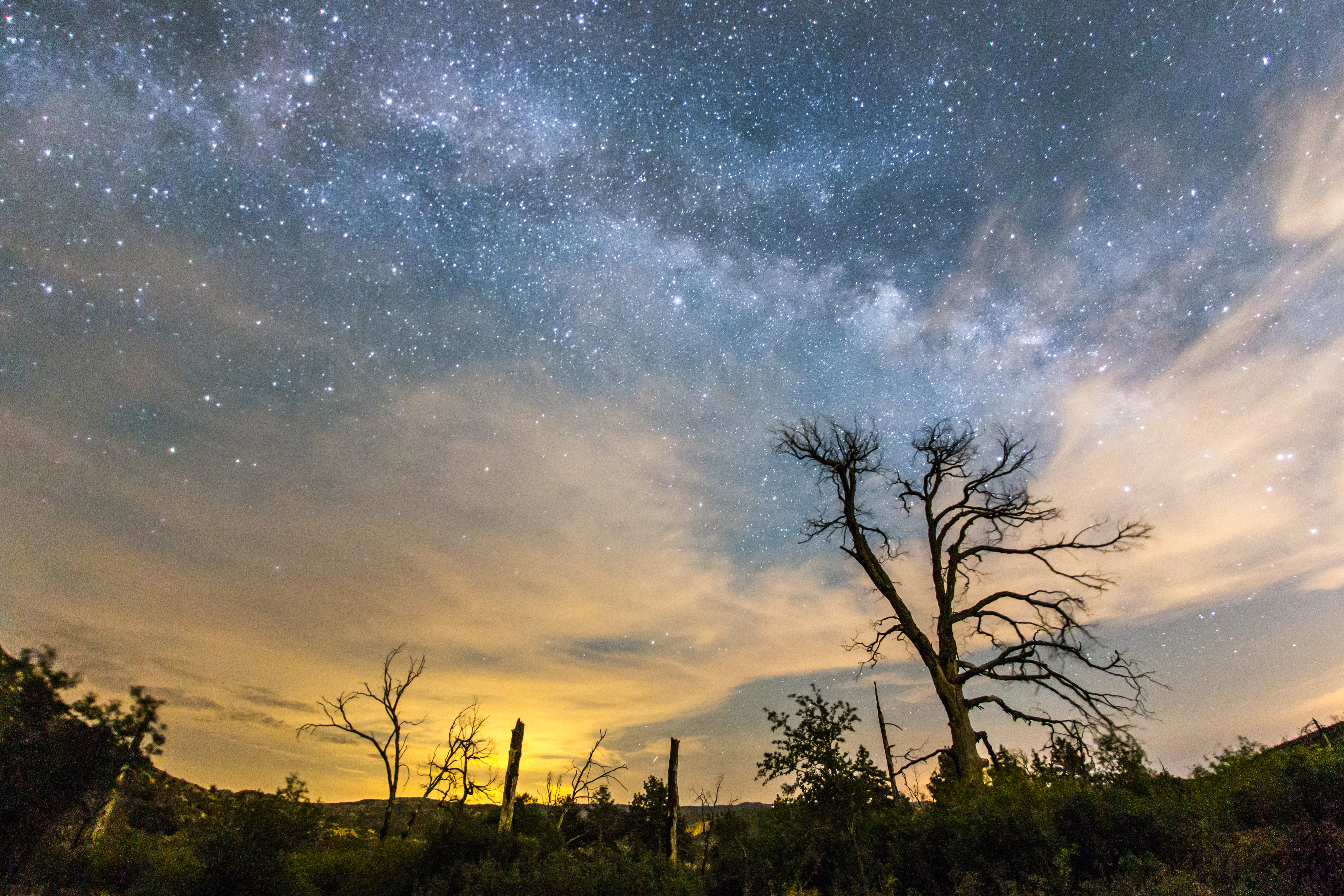
The Milky Way and burnt trees
#mtlaguna #sunrisehwy #PacificCrestTrail #california #iphone
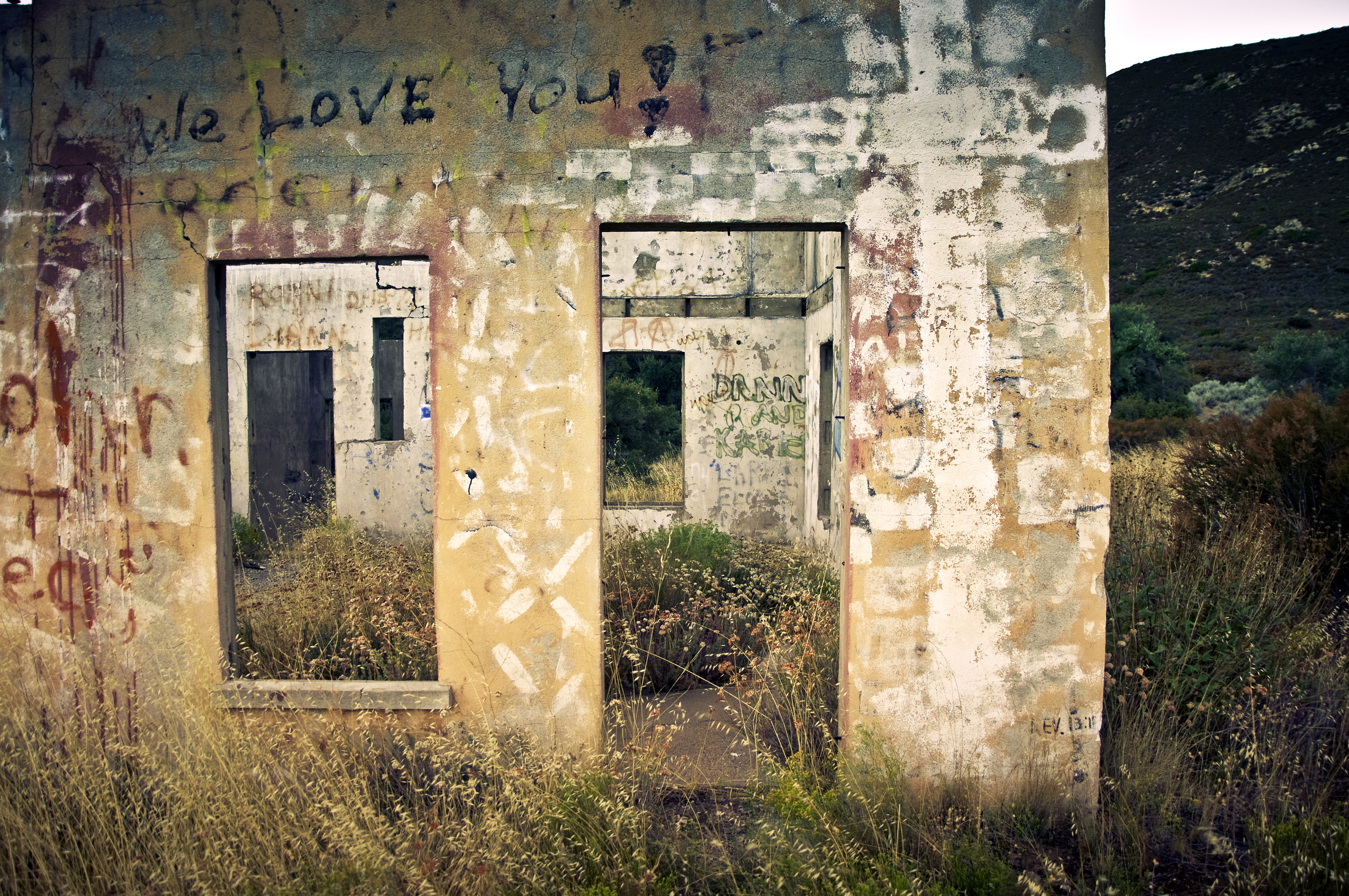
Air Conditioned
IMG_0049.jpg
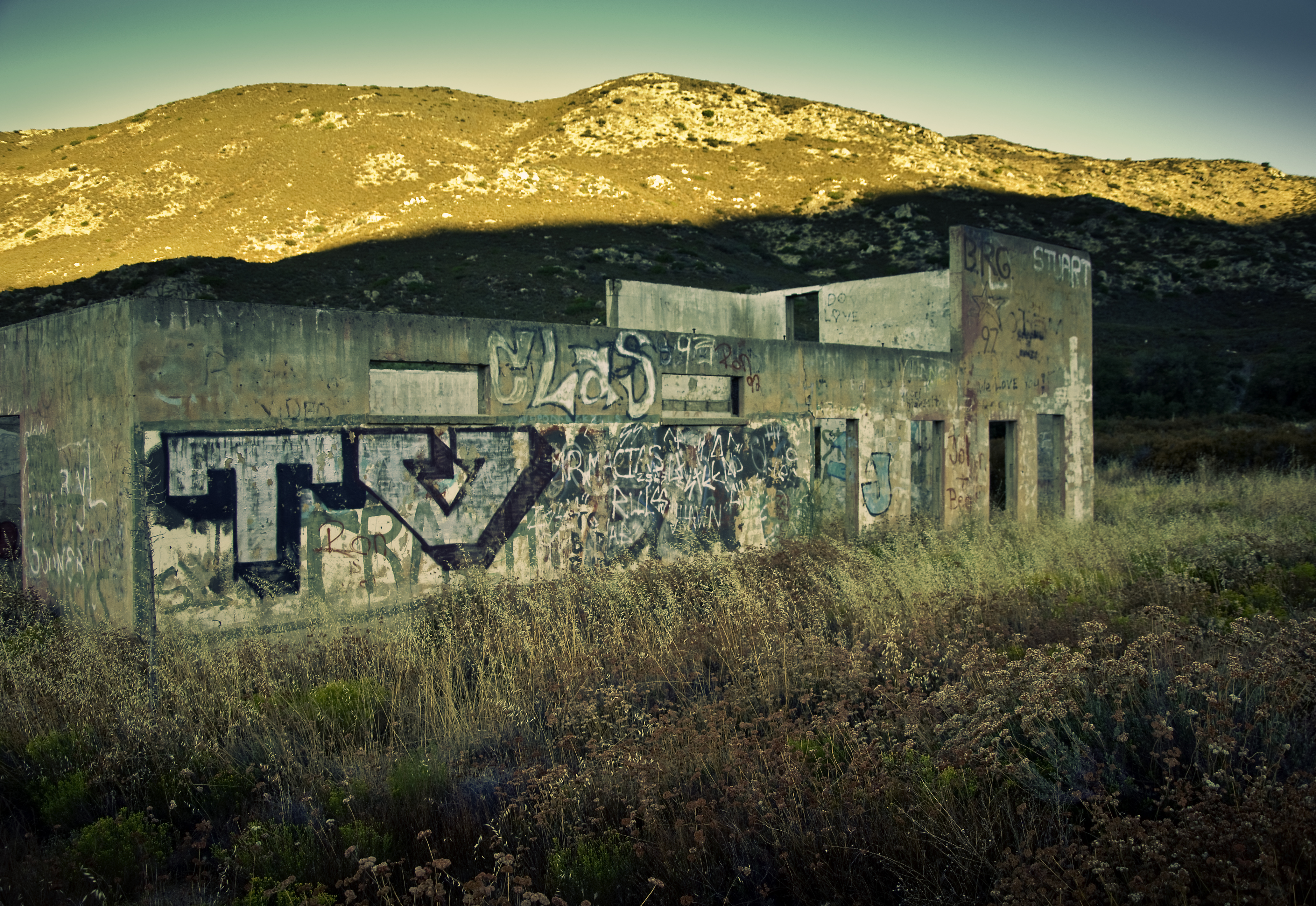
TV Gospel - Sunkissed!

Snowman in the Road
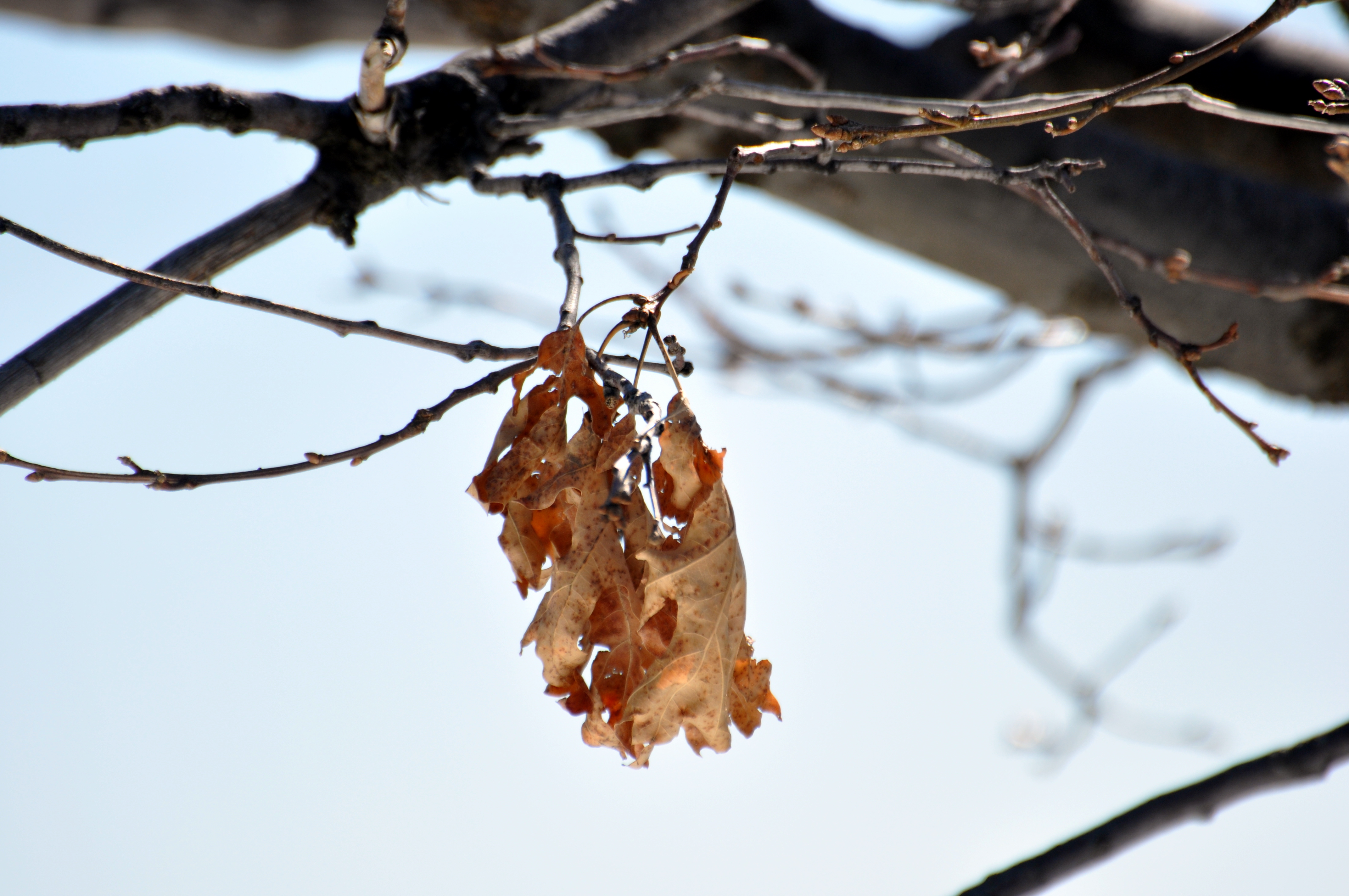
Last Leaves
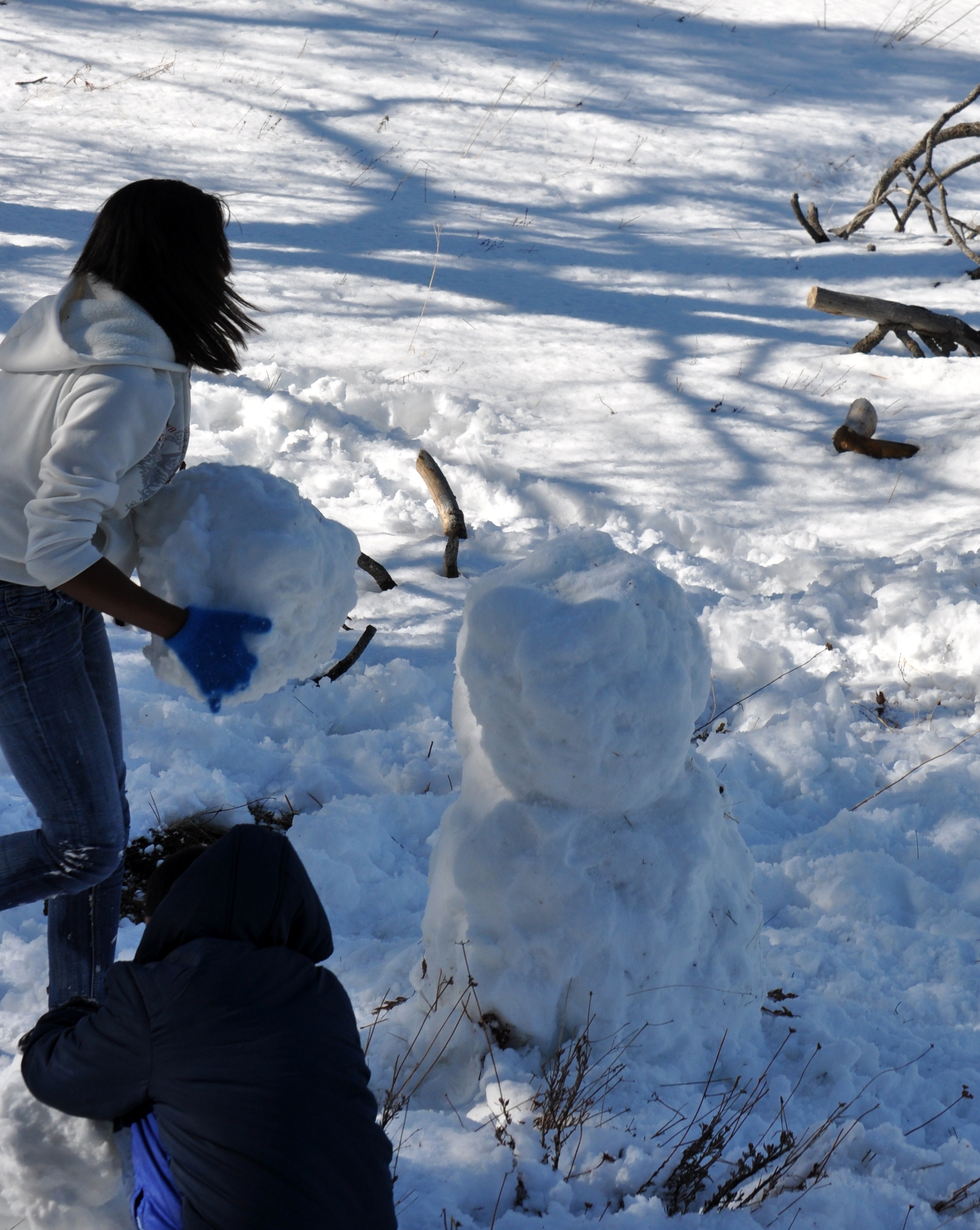
Building a Snowman
Sunrise after thunderstorm

Building a Snowman
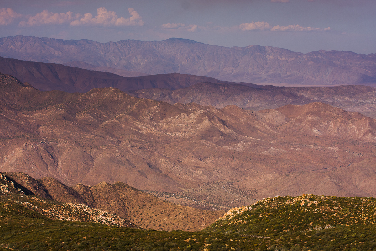
Anza Borrego
IMG_0081.jpg
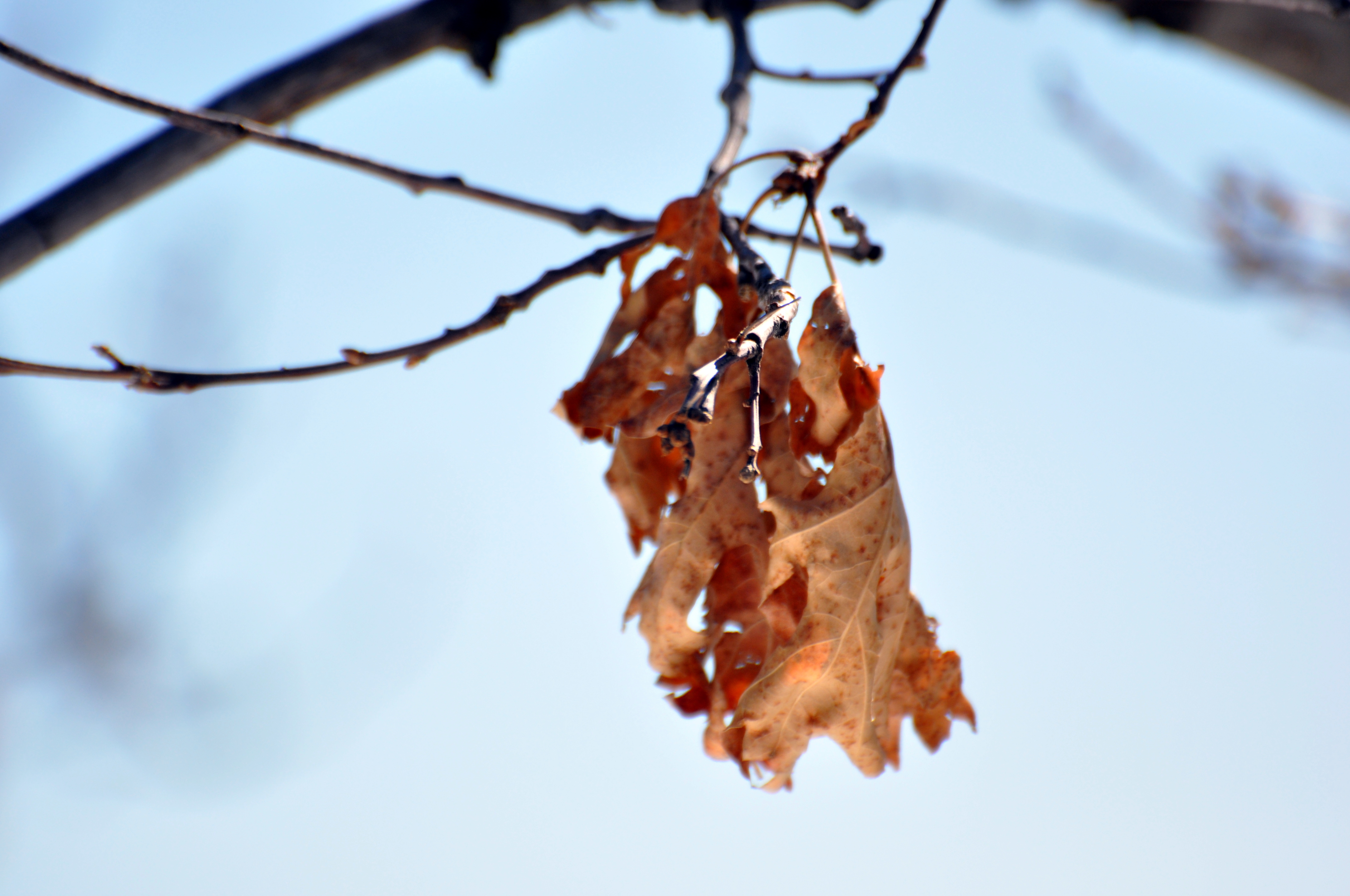
Last Leaves
Morning Light

Light in the Window
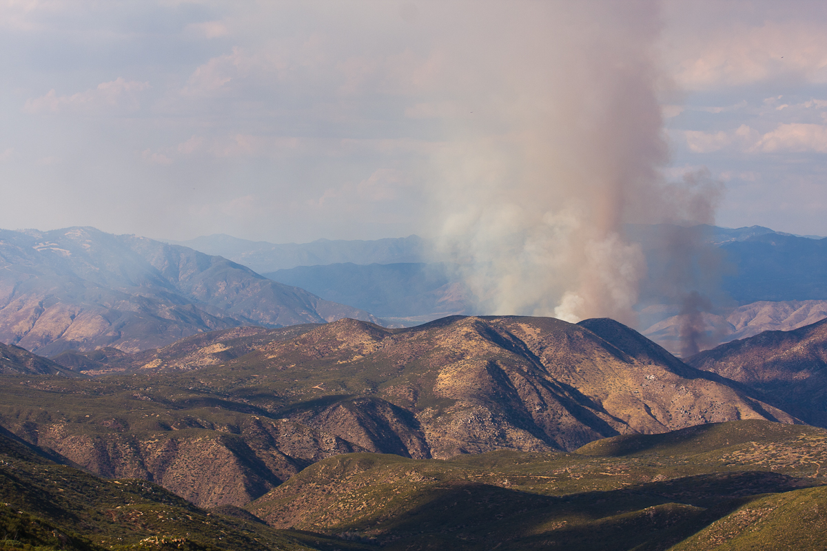
Great Fire
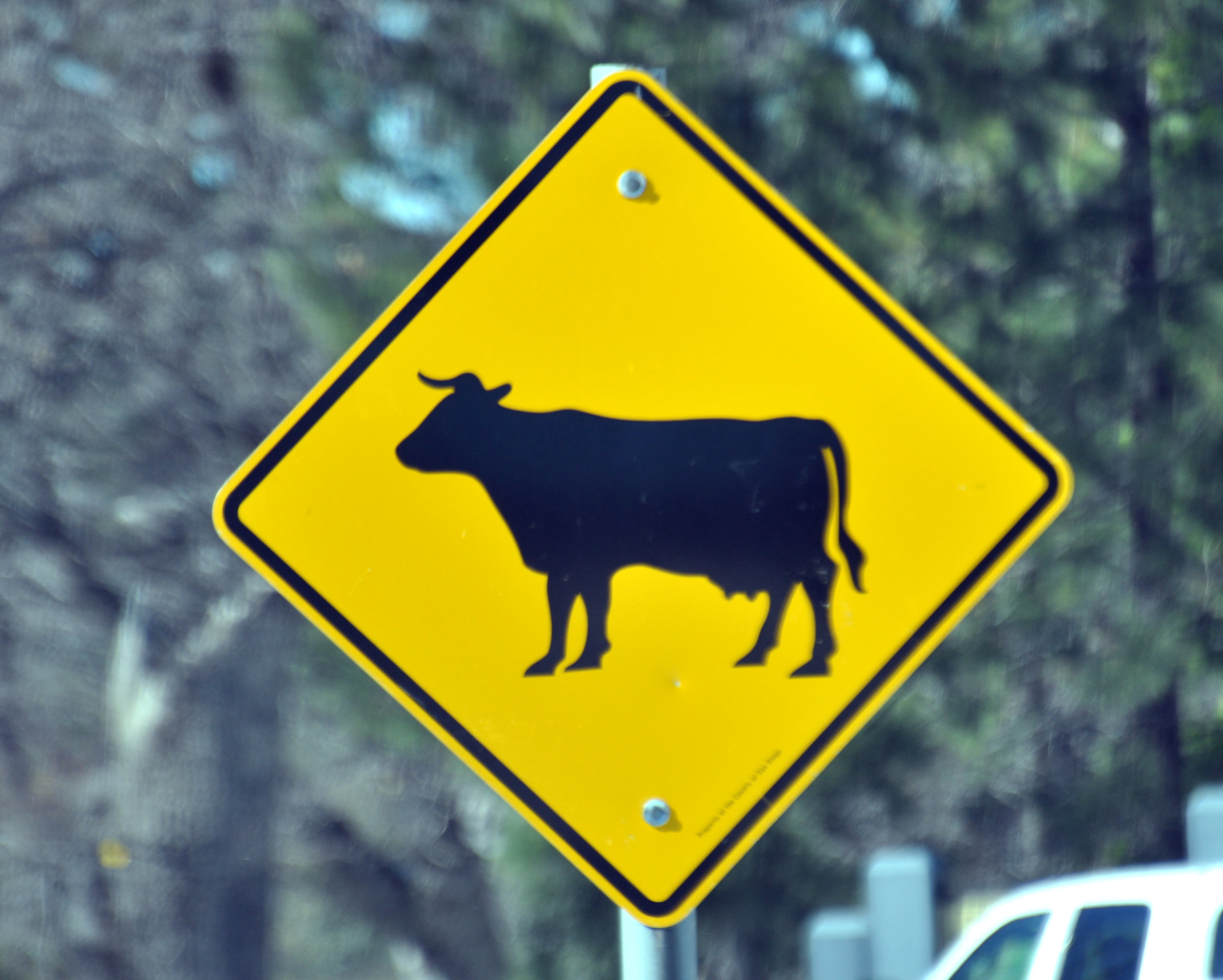
Cow Sign

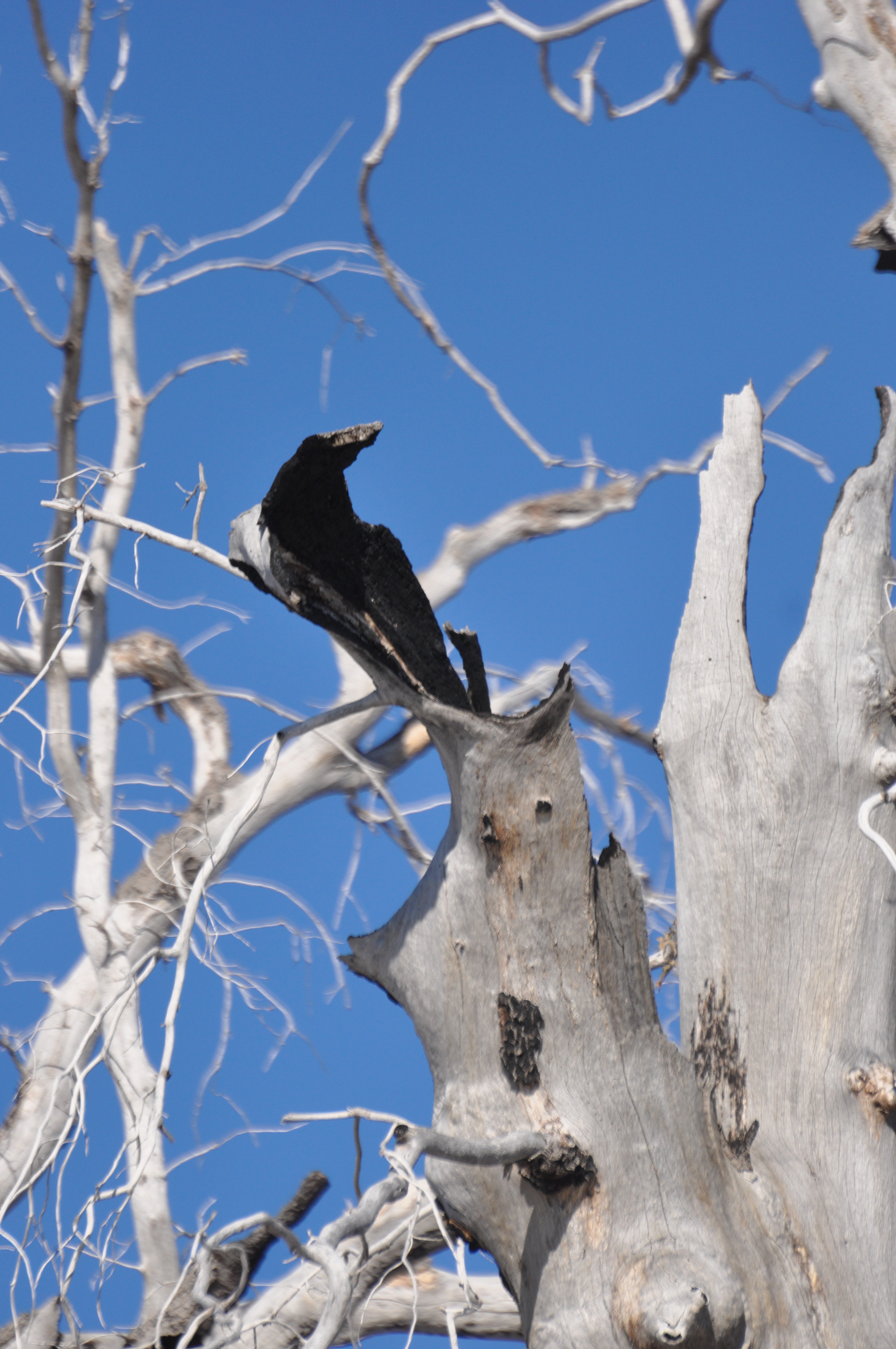
Old dead tree, just one of so many
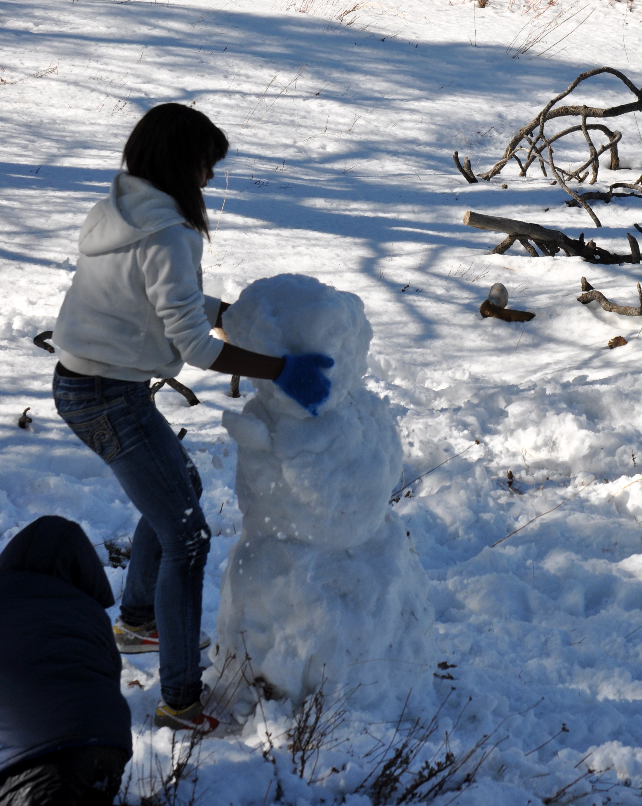
Building a Snowman
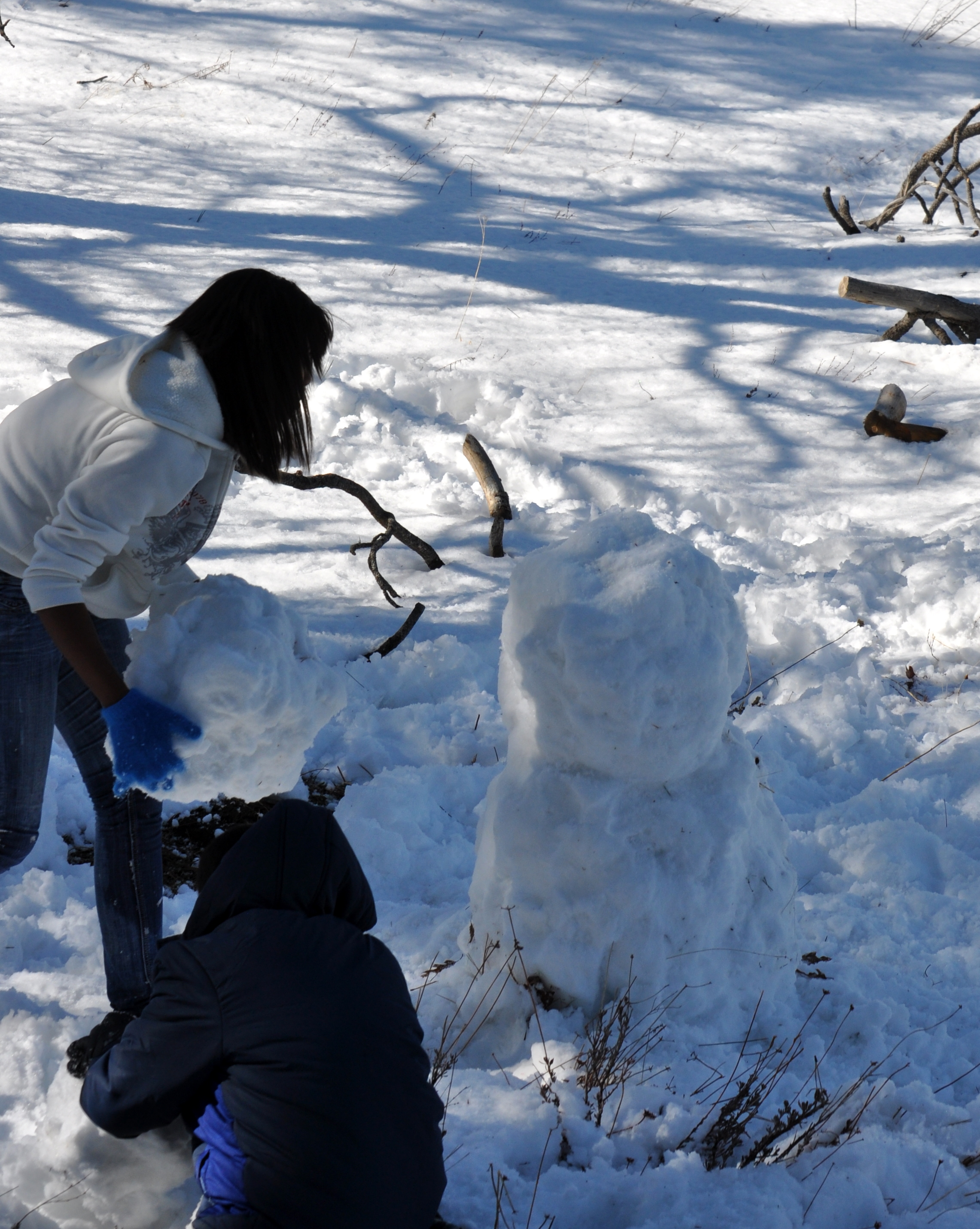
Building a Snowman
Cedar Fire Area
アメリカ合衆国 〒 カリフォルニア州 デスカンソの地図
別の場所を検索
アメリカ合衆国 〒 カリフォルニア州 デスカンソでの場所
近所の場所
Boulder Creek Rd, Descanso, CA アメリカ合衆国
CA-79, Descanso, CA アメリカ合衆国
Boulder Creek Rd, Descanso, CA アメリカ合衆国
アメリカ合衆国 カリフォルニア州 グリーン・バレー滝
アメリカ合衆国 カリフォルニア州 グアタイー
25 Browns Rd, Alpine, CA アメリカ合衆国
Japatul Highlands Rd, Alpine, CA アメリカ合衆国
Lebanon Rd, Pine Valley, CA アメリカ合衆国
Willows Rd, Alpine, CA アメリカ合衆国
アメリカ合衆国 〒 カリフォルニア州 カヤマカ・マウンテンズ
Willows Rd, Alpine, CA アメリカ合衆国Viejas Casino & Resort
Lone Pine Trail, Pine Valley, CA アメリカ合衆国ローン・パイン・トレイル
アメリカ合衆国 〒 カリフォルニア州 パイン・バレー
Willows Rd, California, アメリカ合衆国ウィローズ・ロード
Lilac Ln, Pine Valley, CA アメリカ合衆国
アメリカ合衆国 〒 カリフォルニア州 カヤマカ・ピーク
Japatul Valley Rd, Alpine, CA アメリカ合衆国
CA-79, Julian, CA アメリカ合衆国パソ・ピカッチョ・キャンプグランド
Stonewall Peak Trail, Julian, CA アメリカ合衆国ストーンウォール・ピーク・トレイル
Carveacre Rd, Alpine, CA アメリカ合衆国
最近の検索
- アメリカ合衆国 〒 カリフォルニア州 マウンテンビュー日の出日の入り時間
- 日本、〒- 北海道斜里郡斜里町朱円東天に続く道展望台日の出日の入り時間
- 海岸咖啡, No. 31號, Chaishan Ave, Gushan District, Kaohsiung City, Taiwan日の出日の入り時間
- Estates Loop, Priest River, ID, USA日の出日の入り時間
- Woodland Oak Pl, Thousand Oaks, CA, USA日の出日の入り時間
- Sarangdanda, Nepal日の出日の入り時間
- 日本、〒- 宮城県塩竈市中の島日の出日の入り時間
- bp - 63 Rte de l'Observatoire, Bouzareah, アルジェリアアルジェ天文台日の出日の入り時間
- Crocker Dr, Vacaville, CA アメリカ合衆国日の出日の入り時間
- カンボジア センモノロム HWHM+3X7Pu Ngaol Community Meeting Hall日の出日の入り時間