Burke Dr, Plymouth, CA アメリカ合衆国日の出日の入り時間
Location: アメリカ合衆国 > カリフォルニア州 > アマドール > アメリカ合衆国 〒 カリフォルニア州 プリマス >
時間帯:
America/Los_Angeles
現地時間:
2024-05-05 14:19:28
経度:
-120.822452
緯度:
38.47459
今日の日の出時刻:
05:59:18 AM
今日の日の入時刻:
08:00:23 PM
今日の日長:
14h 1m 5s
明日の日の出時刻:
05:58:15 AM
明日の日の入時刻:
08:01:19 PM
明日の日長:
14h 3m 4s
すべて表示する
| 日付 | 日出 | 日没 | 日長 |
|---|---|---|---|
| 2024年01月01日 | 07:20:41 AM | 04:53:39 PM | 9h 32m 58s |
| 2024年01月02日 | 07:20:47 AM | 04:54:29 PM | 9h 33m 42s |
| 2024年01月03日 | 07:20:50 AM | 04:55:20 PM | 9h 34m 30s |
| 2024年01月04日 | 07:20:52 AM | 04:56:12 PM | 9h 35m 20s |
| 2024年01月05日 | 07:20:52 AM | 04:57:06 PM | 9h 36m 14s |
| 2024年01月06日 | 07:20:49 AM | 04:58:01 PM | 9h 37m 12s |
| 2024年01月07日 | 07:20:44 AM | 04:58:57 PM | 9h 38m 13s |
| 2024年01月08日 | 07:20:38 AM | 04:59:54 PM | 9h 39m 16s |
| 2024年01月09日 | 07:20:29 AM | 05:00:52 PM | 9h 40m 23s |
| 2024年01月10日 | 07:20:18 AM | 05:01:51 PM | 9h 41m 33s |
| 2024年01月11日 | 07:20:05 AM | 05:02:51 PM | 9h 42m 46s |
| 2024年01月12日 | 07:19:49 AM | 05:03:52 PM | 9h 44m 3s |
| 2024年01月13日 | 07:19:32 AM | 05:04:53 PM | 9h 45m 21s |
| 2024年01月14日 | 07:19:13 AM | 05:05:56 PM | 9h 46m 43s |
| 2024年01月15日 | 07:18:51 AM | 05:06:59 PM | 9h 48m 8s |
| 2024年01月16日 | 07:18:28 AM | 05:08:03 PM | 9h 49m 35s |
| 2024年01月17日 | 07:18:02 AM | 05:09:07 PM | 9h 51m 5s |
| 2024年01月18日 | 07:17:35 AM | 05:10:13 PM | 9h 52m 38s |
| 2024年01月19日 | 07:17:05 AM | 05:11:18 PM | 9h 54m 13s |
| 2024年01月20日 | 07:16:34 AM | 05:12:24 PM | 9h 55m 50s |
| 2024年01月21日 | 07:16:01 AM | 05:13:31 PM | 9h 57m 30s |
| 2024年01月22日 | 07:15:25 AM | 05:14:38 PM | 9h 59m 13s |
| 2024年01月23日 | 07:14:48 AM | 05:15:45 PM | 10h 0m 57s |
| 2024年01月24日 | 07:14:09 AM | 05:16:52 PM | 10h 2m 43s |
| 2024年01月25日 | 07:13:28 AM | 05:18:00 PM | 10h 4m 32s |
| 2024年01月26日 | 07:12:45 AM | 05:19:08 PM | 10h 6m 23s |
| 2024年01月27日 | 07:12:00 AM | 05:20:17 PM | 10h 8m 17s |
| 2024年01月28日 | 07:11:14 AM | 05:21:25 PM | 10h 10m 11s |
| 2024年01月29日 | 07:10:26 AM | 05:22:33 PM | 10h 12m 7s |
| 2024年01月30日 | 07:09:36 AM | 05:23:42 PM | 10h 14m 6s |
| 2024年01月31日 | 07:08:45 AM | 05:24:51 PM | 10h 16m 6s |
| 2024年02月01日 | 07:07:52 AM | 05:25:59 PM | 10h 18m 7s |
| 2024年02月02日 | 07:06:57 AM | 05:27:08 PM | 10h 20m 11s |
| 2024年02月03日 | 07:06:00 AM | 05:28:16 PM | 10h 22m 16s |
| 2024年02月04日 | 07:05:03 AM | 05:29:25 PM | 10h 24m 22s |
| 2024年02月05日 | 07:04:03 AM | 05:30:33 PM | 10h 26m 30s |
| 2024年02月06日 | 07:03:02 AM | 05:31:42 PM | 10h 28m 40s |
| 2024年02月07日 | 07:02:00 AM | 05:32:50 PM | 10h 30m 50s |
| 2024年02月08日 | 07:00:56 AM | 05:33:58 PM | 10h 33m 2s |
| 2024年02月09日 | 06:59:51 AM | 05:35:05 PM | 10h 35m 14s |
| 2024年02月10日 | 06:58:45 AM | 05:36:13 PM | 10h 37m 28s |
| 2024年02月11日 | 06:57:37 AM | 05:37:20 PM | 10h 39m 43s |
| 2024年02月12日 | 06:56:28 AM | 05:38:28 PM | 10h 42m 0s |
| 2024年02月13日 | 06:55:17 AM | 05:39:34 PM | 10h 44m 17s |
| 2024年02月14日 | 06:54:06 AM | 05:40:41 PM | 10h 46m 35s |
| 2024年02月15日 | 06:52:53 AM | 05:41:47 PM | 10h 48m 54s |
| 2024年02月16日 | 06:51:39 AM | 05:42:53 PM | 10h 51m 14s |
| 2024年02月17日 | 06:50:24 AM | 05:43:59 PM | 10h 53m 35s |
| 2024年02月18日 | 06:49:08 AM | 05:45:05 PM | 10h 55m 57s |
| 2024年02月19日 | 06:47:51 AM | 05:46:10 PM | 10h 58m 19s |
| 2024年02月20日 | 06:46:33 AM | 05:47:15 PM | 11h 0m 42s |
| 2024年02月21日 | 06:45:14 AM | 05:48:19 PM | 11h 3m 5s |
| 2024年02月22日 | 06:43:54 AM | 05:49:24 PM | 11h 5m 30s |
| 2024年02月23日 | 06:42:33 AM | 05:50:28 PM | 11h 7m 55s |
| 2024年02月24日 | 06:41:11 AM | 05:51:31 PM | 11h 10m 20s |
| 2024年02月25日 | 06:39:49 AM | 05:52:35 PM | 11h 12m 46s |
| 2024年02月26日 | 06:38:25 AM | 05:53:38 PM | 11h 15m 13s |
| 2024年02月27日 | 06:37:01 AM | 05:54:40 PM | 11h 17m 39s |
| 2024年02月28日 | 06:35:36 AM | 05:55:43 PM | 11h 20m 7s |
| 2024年02月29日 | 06:34:10 AM | 05:56:45 PM | 11h 22m 35s |
| 2024年03月01日 | 06:32:44 AM | 05:57:47 PM | 11h 25m 3s |
| 2024年03月02日 | 06:31:17 AM | 05:58:48 PM | 11h 27m 31s |
| 2024年03月03日 | 06:29:50 AM | 05:59:49 PM | 11h 29m 59s |
| 2024年03月04日 | 06:28:21 AM | 06:00:50 PM | 11h 32m 29s |
| 2024年03月05日 | 06:26:53 AM | 06:01:51 PM | 11h 34m 58s |
| 2024年03月06日 | 06:25:23 AM | 06:02:51 PM | 11h 37m 28s |
| 2024年03月07日 | 06:23:54 AM | 06:03:51 PM | 11h 39m 57s |
| 2024年03月08日 | 06:22:24 AM | 06:04:51 PM | 11h 42m 27s |
| 2024年03月09日 | 06:20:53 AM | 06:05:51 PM | 11h 44m 58s |
| 2024年03月10日 | 07:19:26 AM | 07:06:48 PM | 11h 47m 22s |
| 2024年03月11日 | 07:17:54 AM | 07:07:47 PM | 11h 49m 53s |
| 2024年03月12日 | 07:16:23 AM | 07:08:46 PM | 11h 52m 23s |
| 2024年03月13日 | 07:14:51 AM | 07:09:44 PM | 11h 54m 53s |
| 2024年03月14日 | 07:13:19 AM | 07:10:43 PM | 11h 57m 24s |
| 2024年03月15日 | 07:11:46 AM | 07:11:41 PM | 11h 59m 55s |
| 2024年03月16日 | 07:10:13 AM | 07:12:39 PM | 12h 2m 26s |
| 2024年03月17日 | 07:08:41 AM | 07:13:37 PM | 12h 4m 56s |
| 2024年03月18日 | 07:07:08 AM | 07:14:35 PM | 12h 7m 27s |
| 2024年03月19日 | 07:05:34 AM | 07:15:32 PM | 12h 9m 58s |
| 2024年03月20日 | 07:04:01 AM | 07:16:30 PM | 12h 12m 29s |
| 2024年03月21日 | 07:02:28 AM | 07:17:27 PM | 12h 14m 59s |
| 2024年03月22日 | 07:00:55 AM | 07:18:25 PM | 12h 17m 30s |
| 2024年03月23日 | 06:59:21 AM | 07:19:22 PM | 12h 20m 1s |
| 2024年03月24日 | 06:57:48 AM | 07:20:19 PM | 12h 22m 31s |
| 2024年03月25日 | 06:56:15 AM | 07:21:16 PM | 12h 25m 1s |
| 2024年03月26日 | 06:54:42 AM | 07:22:13 PM | 12h 27m 31s |
| 2024年03月27日 | 06:53:09 AM | 07:23:09 PM | 12h 30m 0s |
| 2024年03月28日 | 06:51:36 AM | 07:24:06 PM | 12h 32m 30s |
| 2024年03月29日 | 06:50:04 AM | 07:25:03 PM | 12h 34m 59s |
| 2024年03月30日 | 06:48:31 AM | 07:25:59 PM | 12h 37m 28s |
| 2024年03月31日 | 06:46:59 AM | 07:26:56 PM | 12h 39m 57s |
| 2024年04月01日 | 06:45:27 AM | 07:27:53 PM | 12h 42m 26s |
| 2024年04月02日 | 06:43:56 AM | 07:28:49 PM | 12h 44m 53s |
| 2024年04月03日 | 06:42:24 AM | 07:29:46 PM | 12h 47m 22s |
| 2024年04月04日 | 06:40:53 AM | 07:30:42 PM | 12h 49m 49s |
| 2024年04月05日 | 06:39:23 AM | 07:31:39 PM | 12h 52m 16s |
| 2024年04月06日 | 06:37:53 AM | 07:32:36 PM | 12h 54m 43s |
| 2024年04月07日 | 06:36:23 AM | 07:33:32 PM | 12h 57m 9s |
| 2024年04月08日 | 06:34:54 AM | 07:34:29 PM | 12h 59m 35s |
| 2024年04月09日 | 06:33:26 AM | 07:35:25 PM | 13h 1m 59s |
| 2024年04月10日 | 06:31:57 AM | 07:36:22 PM | 13h 4m 25s |
| 2024年04月11日 | 06:30:30 AM | 07:37:19 PM | 13h 6m 49s |
| 2024年04月12日 | 06:29:03 AM | 07:38:16 PM | 13h 9m 13s |
| 2024年04月13日 | 06:27:37 AM | 07:39:12 PM | 13h 11m 35s |
| 2024年04月14日 | 06:26:11 AM | 07:40:09 PM | 13h 13m 58s |
| 2024年04月15日 | 06:24:46 AM | 07:41:06 PM | 13h 16m 20s |
| 2024年04月16日 | 06:23:22 AM | 07:42:03 PM | 13h 18m 41s |
| 2024年04月17日 | 06:21:59 AM | 07:43:00 PM | 13h 21m 1s |
| 2024年04月18日 | 06:20:36 AM | 07:43:57 PM | 13h 23m 21s |
| 2024年04月19日 | 06:19:14 AM | 07:44:54 PM | 13h 25m 40s |
| 2024年04月20日 | 06:17:53 AM | 07:45:51 PM | 13h 27m 58s |
| 2024年04月21日 | 06:16:33 AM | 07:46:48 PM | 13h 30m 15s |
| 2024年04月22日 | 06:15:14 AM | 07:47:45 PM | 13h 32m 31s |
| 2024年04月23日 | 06:13:56 AM | 07:48:42 PM | 13h 34m 46s |
| 2024年04月24日 | 06:12:39 AM | 07:49:39 PM | 13h 37m 0s |
| 2024年04月25日 | 06:11:23 AM | 07:50:36 PM | 13h 39m 13s |
| 2024年04月26日 | 06:10:07 AM | 07:51:33 PM | 13h 41m 26s |
| 2024年04月27日 | 06:08:53 AM | 07:52:30 PM | 13h 43m 37s |
| 2024年04月28日 | 06:07:40 AM | 07:53:27 PM | 13h 45m 47s |
| 2024年04月29日 | 06:06:28 AM | 07:54:24 PM | 13h 47m 56s |
| 2024年04月30日 | 06:05:17 AM | 07:55:20 PM | 13h 50m 3s |
| 2024年05月01日 | 06:04:08 AM | 07:56:17 PM | 13h 52m 9s |
| 2024年05月02日 | 06:02:59 AM | 07:57:13 PM | 13h 54m 14s |
| 2024年05月03日 | 06:01:52 AM | 07:58:10 PM | 13h 56m 18s |
| 2024年05月04日 | 06:00:46 AM | 07:59:06 PM | 13h 58m 20s |
| 2024年05月05日 | 05:59:42 AM | 08:00:02 PM | 14h 0m 20s |
| 2024年05月06日 | 05:58:39 AM | 08:00:58 PM | 14h 2m 19s |
| 2024年05月07日 | 05:57:37 AM | 08:01:54 PM | 14h 4m 17s |
| 2024年05月08日 | 05:56:36 AM | 08:02:49 PM | 14h 6m 13s |
| 2024年05月09日 | 05:55:37 AM | 08:03:44 PM | 14h 8m 7s |
| 2024年05月10日 | 05:54:39 AM | 08:04:39 PM | 14h 10m 0s |
| 2024年05月11日 | 05:53:43 AM | 08:05:34 PM | 14h 11m 51s |
| 2024年05月12日 | 05:52:48 AM | 08:06:28 PM | 14h 13m 40s |
| 2024年05月13日 | 05:51:55 AM | 08:07:22 PM | 14h 15m 27s |
| 2024年05月14日 | 05:51:04 AM | 08:08:15 PM | 14h 17m 11s |
| 2024年05月15日 | 05:50:13 AM | 08:09:08 PM | 14h 18m 55s |
| 2024年05月16日 | 05:49:25 AM | 08:10:01 PM | 14h 20m 36s |
| 2024年05月17日 | 05:48:38 AM | 08:10:53 PM | 14h 22m 15s |
| 2024年05月18日 | 05:47:53 AM | 08:11:44 PM | 14h 23m 51s |
| 2024年05月19日 | 05:47:09 AM | 08:12:35 PM | 14h 25m 26s |
| 2024年05月20日 | 05:46:27 AM | 08:13:25 PM | 14h 26m 58s |
| 2024年05月21日 | 05:45:47 AM | 08:14:15 PM | 14h 28m 28s |
| 2024年05月22日 | 05:45:08 AM | 08:15:04 PM | 14h 29m 56s |
| 2024年05月23日 | 05:44:32 AM | 08:15:52 PM | 14h 31m 20s |
| 2024年05月24日 | 05:43:57 AM | 08:16:40 PM | 14h 32m 43s |
| 2024年05月25日 | 05:43:23 AM | 08:17:26 PM | 14h 34m 3s |
| 2024年05月26日 | 05:42:52 AM | 08:18:12 PM | 14h 35m 20s |
| 2024年05月27日 | 05:42:22 AM | 08:18:57 PM | 14h 36m 35s |
| 2024年05月28日 | 05:41:54 AM | 08:19:41 PM | 14h 37m 47s |
| 2024年05月29日 | 05:41:28 AM | 08:20:24 PM | 14h 38m 56s |
| 2024年05月30日 | 05:41:04 AM | 08:21:06 PM | 14h 40m 2s |
| 2024年05月31日 | 05:40:42 AM | 08:21:47 PM | 14h 41m 5s |
| 2024年06月01日 | 05:40:21 AM | 08:22:27 PM | 14h 42m 6s |
| 2024年06月02日 | 05:40:02 AM | 08:23:06 PM | 14h 43m 4s |
| 2024年06月03日 | 05:39:45 AM | 08:23:44 PM | 14h 43m 59s |
| 2024年06月04日 | 05:39:30 AM | 08:24:20 PM | 14h 44m 50s |
| 2024年06月05日 | 05:39:17 AM | 08:24:56 PM | 14h 45m 39s |
| 2024年06月06日 | 05:39:06 AM | 08:25:30 PM | 14h 46m 24s |
| 2024年06月07日 | 05:38:56 AM | 08:26:02 PM | 14h 47m 6s |
| 2024年06月08日 | 05:38:48 AM | 08:26:34 PM | 14h 47m 46s |
| 2024年06月09日 | 05:38:43 AM | 08:27:04 PM | 14h 48m 21s |
| 2024年06月10日 | 05:38:39 AM | 08:27:32 PM | 14h 48m 53s |
| 2024年06月11日 | 05:38:36 AM | 08:27:59 PM | 14h 49m 23s |
| 2024年06月12日 | 05:38:36 AM | 08:28:25 PM | 14h 49m 49s |
| 2024年06月13日 | 05:38:37 AM | 08:28:49 PM | 14h 50m 12s |
| 2024年06月14日 | 05:38:41 AM | 08:29:11 PM | 14h 50m 30s |
| 2024年06月15日 | 05:38:46 AM | 08:29:32 PM | 14h 50m 46s |
| 2024年06月16日 | 05:38:52 AM | 08:29:52 PM | 14h 51m 0s |
| 2024年06月17日 | 05:39:01 AM | 08:30:09 PM | 14h 51m 8s |
| 2024年06月18日 | 05:39:11 AM | 08:30:25 PM | 14h 51m 14s |
| 2024年06月19日 | 05:39:23 AM | 08:30:40 PM | 14h 51m 17s |
| 2024年06月20日 | 05:39:36 AM | 08:30:52 PM | 14h 51m 16s |
| 2024年06月21日 | 05:39:51 AM | 08:31:03 PM | 14h 51m 12s |
| 2024年06月22日 | 05:40:08 AM | 08:31:12 PM | 14h 51m 4s |
| 2024年06月23日 | 05:40:27 AM | 08:31:20 PM | 14h 50m 53s |
| 2024年06月24日 | 05:40:47 AM | 08:31:25 PM | 14h 50m 38s |
| 2024年06月25日 | 05:41:08 AM | 08:31:29 PM | 14h 50m 21s |
| 2024年06月26日 | 05:41:31 AM | 08:31:31 PM | 14h 50m 0s |
| 2024年06月27日 | 05:41:55 AM | 08:31:31 PM | 14h 49m 36s |
| 2024年06月28日 | 05:42:21 AM | 08:31:29 PM | 14h 49m 8s |
| 2024年06月29日 | 05:42:48 AM | 08:31:25 PM | 14h 48m 37s |
| 2024年06月30日 | 05:43:17 AM | 08:31:20 PM | 14h 48m 3s |
| 2024年07月01日 | 05:43:47 AM | 08:31:12 PM | 14h 47m 25s |
| 2024年07月02日 | 05:44:18 AM | 08:31:03 PM | 14h 46m 45s |
| 2024年07月03日 | 05:44:50 AM | 08:30:51 PM | 14h 46m 1s |
| 2024年07月04日 | 05:45:24 AM | 08:30:38 PM | 14h 45m 14s |
| 2024年07月05日 | 05:45:59 AM | 08:30:23 PM | 14h 44m 24s |
| 2024年07月06日 | 05:46:35 AM | 08:30:06 PM | 14h 43m 31s |
| 2024年07月07日 | 05:47:12 AM | 08:29:48 PM | 14h 42m 36s |
| 2024年07月08日 | 05:47:50 AM | 08:29:27 PM | 14h 41m 37s |
| 2024年07月09日 | 05:48:29 AM | 08:29:04 PM | 14h 40m 35s |
| 2024年07月10日 | 05:49:09 AM | 08:28:40 PM | 14h 39m 31s |
| 2024年07月11日 | 05:49:51 AM | 08:28:14 PM | 14h 38m 23s |
| 2024年07月12日 | 05:50:32 AM | 08:27:46 PM | 14h 37m 14s |
| 2024年07月13日 | 05:51:15 AM | 08:27:16 PM | 14h 36m 1s |
| 2024年07月14日 | 05:51:59 AM | 08:26:44 PM | 14h 34m 45s |
| 2024年07月15日 | 05:52:43 AM | 08:26:10 PM | 14h 33m 27s |
| 2024年07月16日 | 05:53:29 AM | 08:25:35 PM | 14h 32m 6s |
| 2024年07月17日 | 05:54:14 AM | 08:24:58 PM | 14h 30m 44s |
| 2024年07月18日 | 05:55:01 AM | 08:24:19 PM | 14h 29m 18s |
| 2024年07月19日 | 05:55:48 AM | 08:23:38 PM | 14h 27m 50s |
| 2024年07月20日 | 05:56:36 AM | 08:22:56 PM | 14h 26m 20s |
| 2024年07月21日 | 05:57:24 AM | 08:22:11 PM | 14h 24m 47s |
| 2024年07月22日 | 05:58:13 AM | 08:21:26 PM | 14h 23m 13s |
| 2024年07月23日 | 05:59:02 AM | 08:20:38 PM | 14h 21m 36s |
| 2024年07月24日 | 05:59:52 AM | 08:19:49 PM | 14h 19m 57s |
| 2024年07月25日 | 06:00:42 AM | 08:18:58 PM | 14h 18m 16s |
| 2024年07月26日 | 06:01:33 AM | 08:18:06 PM | 14h 16m 33s |
| 2024年07月27日 | 06:02:24 AM | 08:17:12 PM | 14h 14m 48s |
| 2024年07月28日 | 06:03:15 AM | 08:16:17 PM | 14h 13m 2s |
| 2024年07月29日 | 06:04:07 AM | 08:15:20 PM | 14h 11m 13s |
| 2024年07月30日 | 06:04:59 AM | 08:14:21 PM | 14h 9m 22s |
| 2024年07月31日 | 06:05:51 AM | 08:13:21 PM | 14h 7m 30s |
| 2024年08月01日 | 06:06:43 AM | 08:12:20 PM | 14h 5m 37s |
| 2024年08月02日 | 06:07:35 AM | 08:11:17 PM | 14h 3m 42s |
| 2024年08月03日 | 06:08:28 AM | 08:10:13 PM | 14h 1m 45s |
| 2024年08月04日 | 06:09:21 AM | 08:09:08 PM | 13h 59m 47s |
| 2024年08月05日 | 06:10:14 AM | 08:08:01 PM | 13h 57m 47s |
| 2024年08月06日 | 06:11:07 AM | 08:06:53 PM | 13h 55m 46s |
| 2024年08月07日 | 06:12:00 AM | 08:05:43 PM | 13h 53m 43s |
| 2024年08月08日 | 06:12:53 AM | 08:04:33 PM | 13h 51m 40s |
| 2024年08月09日 | 06:13:47 AM | 08:03:21 PM | 13h 49m 34s |
| 2024年08月10日 | 06:14:40 AM | 08:02:08 PM | 13h 47m 28s |
| 2024年08月11日 | 06:15:33 AM | 08:00:54 PM | 13h 45m 21s |
| 2024年08月12日 | 06:16:27 AM | 07:59:39 PM | 13h 43m 12s |
| 2024年08月13日 | 06:17:20 AM | 07:58:22 PM | 13h 41m 2s |
| 2024年08月14日 | 06:18:14 AM | 07:57:05 PM | 13h 38m 51s |
| 2024年08月15日 | 06:19:07 AM | 07:55:47 PM | 13h 36m 40s |
| 2024年08月16日 | 06:20:00 AM | 07:54:27 PM | 13h 34m 27s |
| 2024年08月17日 | 06:20:54 AM | 07:53:07 PM | 13h 32m 13s |
| 2024年08月18日 | 06:21:47 AM | 07:51:46 PM | 13h 29m 59s |
| 2024年08月19日 | 06:22:40 AM | 07:50:23 PM | 13h 27m 43s |
| 2024年08月20日 | 06:23:33 AM | 07:49:00 PM | 13h 25m 27s |
| 2024年08月21日 | 06:24:26 AM | 07:47:36 PM | 13h 23m 10s |
| 2024年08月22日 | 06:25:19 AM | 07:46:12 PM | 13h 20m 53s |
| 2024年08月23日 | 06:26:12 AM | 07:44:46 PM | 13h 18m 34s |
| 2024年08月24日 | 06:27:05 AM | 07:43:20 PM | 13h 16m 15s |
| 2024年08月25日 | 06:27:58 AM | 07:41:53 PM | 13h 13m 55s |
| 2024年08月26日 | 06:28:51 AM | 07:40:25 PM | 13h 11m 34s |
| 2024年08月27日 | 06:29:43 AM | 07:38:57 PM | 13h 9m 14s |
| 2024年08月28日 | 06:30:36 AM | 07:37:28 PM | 13h 6m 52s |
| 2024年08月29日 | 06:31:28 AM | 07:35:58 PM | 13h 4m 30s |
| 2024年08月30日 | 06:32:21 AM | 07:34:28 PM | 13h 2m 7s |
| 2024年08月31日 | 06:33:13 AM | 07:32:57 PM | 12h 59m 44s |
| 2024年09月01日 | 06:34:06 AM | 07:31:26 PM | 12h 57m 20s |
| 2024年09月02日 | 06:34:58 AM | 07:29:54 PM | 12h 54m 56s |
| 2024年09月03日 | 06:35:50 AM | 07:28:22 PM | 12h 52m 32s |
| 2024年09月04日 | 06:36:43 AM | 07:26:50 PM | 12h 50m 7s |
| 2024年09月05日 | 06:37:35 AM | 07:25:17 PM | 12h 47m 42s |
| 2024年09月06日 | 06:38:27 AM | 07:23:43 PM | 12h 45m 16s |
| 2024年09月07日 | 06:39:19 AM | 07:22:10 PM | 12h 42m 51s |
| 2024年09月08日 | 06:40:11 AM | 07:20:36 PM | 12h 40m 25s |
| 2024年09月09日 | 06:41:04 AM | 07:19:01 PM | 12h 37m 57s |
| 2024年09月10日 | 06:41:56 AM | 07:17:27 PM | 12h 35m 31s |
| 2024年09月11日 | 06:42:48 AM | 07:15:52 PM | 12h 33m 4s |
| 2024年09月12日 | 06:43:40 AM | 07:14:17 PM | 12h 30m 37s |
| 2024年09月13日 | 06:44:33 AM | 07:12:42 PM | 12h 28m 9s |
| 2024年09月14日 | 06:45:25 AM | 07:11:07 PM | 12h 25m 42s |
| 2024年09月15日 | 06:46:18 AM | 07:09:31 PM | 12h 23m 13s |
| 2024年09月16日 | 06:47:10 AM | 07:07:56 PM | 12h 20m 46s |
| 2024年09月17日 | 06:48:03 AM | 07:06:21 PM | 12h 18m 18s |
| 2024年09月18日 | 06:48:55 AM | 07:04:45 PM | 12h 15m 50s |
| 2024年09月19日 | 06:49:48 AM | 07:03:10 PM | 12h 13m 22s |
| 2024年09月20日 | 06:50:41 AM | 07:01:34 PM | 12h 10m 53s |
| 2024年09月21日 | 06:51:34 AM | 06:59:59 PM | 12h 8m 25s |
| 2024年09月22日 | 06:52:27 AM | 06:58:24 PM | 12h 5m 57s |
| 2024年09月23日 | 06:53:21 AM | 06:56:48 PM | 12h 3m 27s |
| 2024年09月24日 | 06:54:14 AM | 06:55:14 PM | 12h 1m 0s |
| 2024年09月25日 | 06:55:08 AM | 06:53:39 PM | 11h 58m 31s |
| 2024年09月26日 | 06:56:02 AM | 06:52:04 PM | 11h 56m 2s |
| 2024年09月27日 | 06:56:56 AM | 06:50:30 PM | 11h 53m 34s |
| 2024年09月28日 | 06:57:50 AM | 06:48:56 PM | 11h 51m 6s |
| 2024年09月29日 | 06:58:45 AM | 06:47:22 PM | 11h 48m 37s |
| 2024年09月30日 | 06:59:40 AM | 06:45:49 PM | 11h 46m 9s |
| 2024年10月01日 | 07:00:35 AM | 06:44:16 PM | 11h 43m 41s |
| 2024年10月02日 | 07:01:30 AM | 06:42:43 PM | 11h 41m 13s |
| 2024年10月03日 | 07:02:25 AM | 06:41:11 PM | 11h 38m 46s |
| 2024年10月04日 | 07:03:21 AM | 06:39:39 PM | 11h 36m 18s |
| 2024年10月05日 | 07:04:17 AM | 06:38:08 PM | 11h 33m 51s |
| 2024年10月06日 | 07:05:13 AM | 06:36:38 PM | 11h 31m 25s |
| 2024年10月07日 | 07:06:10 AM | 06:35:07 PM | 11h 28m 57s |
| 2024年10月08日 | 07:07:07 AM | 06:33:38 PM | 11h 26m 31s |
| 2024年10月09日 | 07:08:04 AM | 06:32:09 PM | 11h 24m 5s |
| 2024年10月10日 | 07:09:02 AM | 06:30:41 PM | 11h 21m 39s |
| 2024年10月11日 | 07:10:00 AM | 06:29:13 PM | 11h 19m 13s |
| 2024年10月12日 | 07:10:58 AM | 06:27:46 PM | 11h 16m 48s |
| 2024年10月13日 | 07:11:57 AM | 06:26:20 PM | 11h 14m 23s |
| 2024年10月14日 | 07:12:55 AM | 06:24:55 PM | 11h 12m 0s |
| 2024年10月15日 | 07:13:55 AM | 06:23:30 PM | 11h 9m 35s |
| 2024年10月16日 | 07:14:54 AM | 06:22:07 PM | 11h 7m 13s |
| 2024年10月17日 | 07:15:54 AM | 06:20:44 PM | 11h 4m 50s |
| 2024年10月18日 | 07:16:54 AM | 06:19:22 PM | 11h 2m 28s |
| 2024年10月19日 | 07:17:55 AM | 06:18:01 PM | 11h 0m 6s |
| 2024年10月20日 | 07:18:56 AM | 06:16:41 PM | 10h 57m 45s |
| 2024年10月21日 | 07:19:57 AM | 06:15:22 PM | 10h 55m 25s |
| 2024年10月22日 | 07:20:59 AM | 06:14:04 PM | 10h 53m 5s |
| 2024年10月23日 | 07:22:01 AM | 06:12:47 PM | 10h 50m 46s |
| 2024年10月24日 | 07:23:03 AM | 06:11:31 PM | 10h 48m 28s |
| 2024年10月25日 | 07:24:05 AM | 06:10:17 PM | 10h 46m 12s |
| 2024年10月26日 | 07:25:08 AM | 06:09:03 PM | 10h 43m 55s |
| 2024年10月27日 | 07:26:11 AM | 06:07:51 PM | 10h 41m 40s |
| 2024年10月28日 | 07:27:15 AM | 06:06:40 PM | 10h 39m 25s |
| 2024年10月29日 | 07:28:19 AM | 06:05:31 PM | 10h 37m 12s |
| 2024年10月30日 | 07:29:23 AM | 06:04:22 PM | 10h 34m 59s |
| 2024年10月31日 | 07:30:27 AM | 06:03:15 PM | 10h 32m 48s |
| 2024年11月01日 | 07:31:31 AM | 06:02:10 PM | 10h 30m 39s |
| 2024年11月02日 | 07:32:36 AM | 06:01:05 PM | 10h 28m 29s |
| 2024年11月03日 | 06:33:43 AM | 05:00:00 PM | 10h 26m 17s |
| 2024年11月04日 | 06:34:48 AM | 04:58:59 PM | 10h 24m 11s |
| 2024年11月05日 | 06:35:54 AM | 04:57:59 PM | 10h 22m 5s |
| 2024年11月06日 | 06:36:59 AM | 04:57:01 PM | 10h 20m 2s |
| 2024年11月07日 | 06:38:04 AM | 04:56:04 PM | 10h 18m 0s |
| 2024年11月08日 | 06:39:10 AM | 04:55:10 PM | 10h 16m 0s |
| 2024年11月09日 | 06:40:15 AM | 04:54:16 PM | 10h 14m 1s |
| 2024年11月10日 | 06:41:21 AM | 04:53:25 PM | 10h 12m 4s |
| 2024年11月11日 | 06:42:26 AM | 04:52:35 PM | 10h 10m 9s |
| 2024年11月12日 | 06:43:32 AM | 04:51:47 PM | 10h 8m 15s |
| 2024年11月13日 | 06:44:37 AM | 04:51:00 PM | 10h 6m 23s |
| 2024年11月14日 | 06:45:42 AM | 04:50:16 PM | 10h 4m 34s |
| 2024年11月15日 | 06:46:48 AM | 04:49:33 PM | 10h 2m 45s |
| 2024年11月16日 | 06:47:53 AM | 04:48:52 PM | 10h 0m 59s |
| 2024年11月17日 | 06:48:57 AM | 04:48:13 PM | 9h 59m 16s |
| 2024年11月18日 | 06:50:02 AM | 04:47:36 PM | 9h 57m 34s |
| 2024年11月19日 | 06:51:06 AM | 04:47:01 PM | 9h 55m 55s |
| 2024年11月20日 | 06:52:10 AM | 04:46:28 PM | 9h 54m 18s |
| 2024年11月21日 | 06:53:13 AM | 04:45:57 PM | 9h 52m 44s |
| 2024年11月22日 | 06:54:16 AM | 04:45:27 PM | 9h 51m 11s |
| 2024年11月23日 | 06:55:18 AM | 04:45:00 PM | 9h 49m 42s |
| 2024年11月24日 | 06:56:20 AM | 04:44:35 PM | 9h 48m 15s |
| 2024年11月25日 | 06:57:21 AM | 04:44:12 PM | 9h 46m 51s |
| 2024年11月26日 | 06:58:22 AM | 04:43:51 PM | 9h 45m 29s |
| 2024年11月27日 | 06:59:22 AM | 04:43:32 PM | 9h 44m 10s |
| 2024年11月28日 | 07:00:21 AM | 04:43:16 PM | 9h 42m 55s |
| 2024年11月29日 | 07:01:20 AM | 04:43:01 PM | 9h 41m 41s |
| 2024年11月30日 | 07:02:17 AM | 04:42:49 PM | 9h 40m 32s |
| 2024年12月01日 | 07:03:14 AM | 04:42:38 PM | 9h 39m 24s |
| 2024年12月02日 | 07:04:10 AM | 04:42:30 PM | 9h 38m 20s |
| 2024年12月03日 | 07:05:05 AM | 04:42:24 PM | 9h 37m 19s |
| 2024年12月04日 | 07:05:58 AM | 04:42:20 PM | 9h 36m 22s |
| 2024年12月05日 | 07:06:51 AM | 04:42:19 PM | 9h 35m 28s |
| 2024年12月06日 | 07:07:43 AM | 04:42:19 PM | 9h 34m 36s |
| 2024年12月07日 | 07:08:33 AM | 04:42:22 PM | 9h 33m 49s |
| 2024年12月08日 | 07:09:22 AM | 04:42:27 PM | 9h 33m 5s |
| 2024年12月09日 | 07:10:09 AM | 04:42:34 PM | 9h 32m 25s |
| 2024年12月10日 | 07:10:56 AM | 04:42:43 PM | 9h 31m 47s |
| 2024年12月11日 | 07:11:41 AM | 04:42:54 PM | 9h 31m 13s |
| 2024年12月12日 | 07:12:24 AM | 04:43:07 PM | 9h 30m 43s |
| 2024年12月13日 | 07:13:06 AM | 04:43:23 PM | 9h 30m 17s |
| 2024年12月14日 | 07:13:47 AM | 04:43:40 PM | 9h 29m 53s |
| 2024年12月15日 | 07:14:25 AM | 04:44:00 PM | 9h 29m 35s |
| 2024年12月16日 | 07:15:02 AM | 04:44:21 PM | 9h 29m 19s |
| 2024年12月17日 | 07:15:38 AM | 04:44:45 PM | 9h 29m 7s |
| 2024年12月18日 | 07:16:12 AM | 04:45:10 PM | 9h 28m 58s |
| 2024年12月19日 | 07:16:44 AM | 04:45:38 PM | 9h 28m 54s |
| 2024年12月20日 | 07:17:14 AM | 04:46:07 PM | 9h 28m 53s |
| 2024年12月21日 | 07:17:42 AM | 04:46:39 PM | 9h 28m 57s |
| 2024年12月22日 | 07:18:09 AM | 04:47:12 PM | 9h 29m 3s |
| 2024年12月23日 | 07:18:33 AM | 04:47:47 PM | 9h 29m 14s |
| 2024年12月24日 | 07:18:56 AM | 04:48:24 PM | 9h 29m 28s |
| 2024年12月25日 | 07:19:17 AM | 04:49:02 PM | 9h 29m 45s |
| 2024年12月26日 | 07:19:36 AM | 04:49:42 PM | 9h 30m 6s |
| 2024年12月27日 | 07:19:52 AM | 04:50:24 PM | 9h 30m 32s |
| 2024年12月28日 | 07:20:07 AM | 04:51:07 PM | 9h 31m 0s |
| 2024年12月29日 | 07:20:20 AM | 04:51:52 PM | 9h 31m 32s |
| 2024年12月30日 | 07:20:30 AM | 04:52:39 PM | 9h 32m 9s |
写真

El Campo Casa
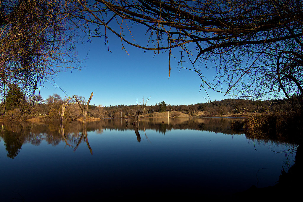
D'Agostini Reservoir
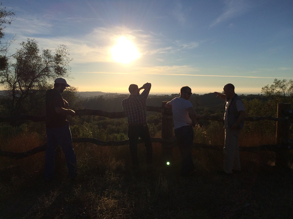
Another Sunset at the Fence
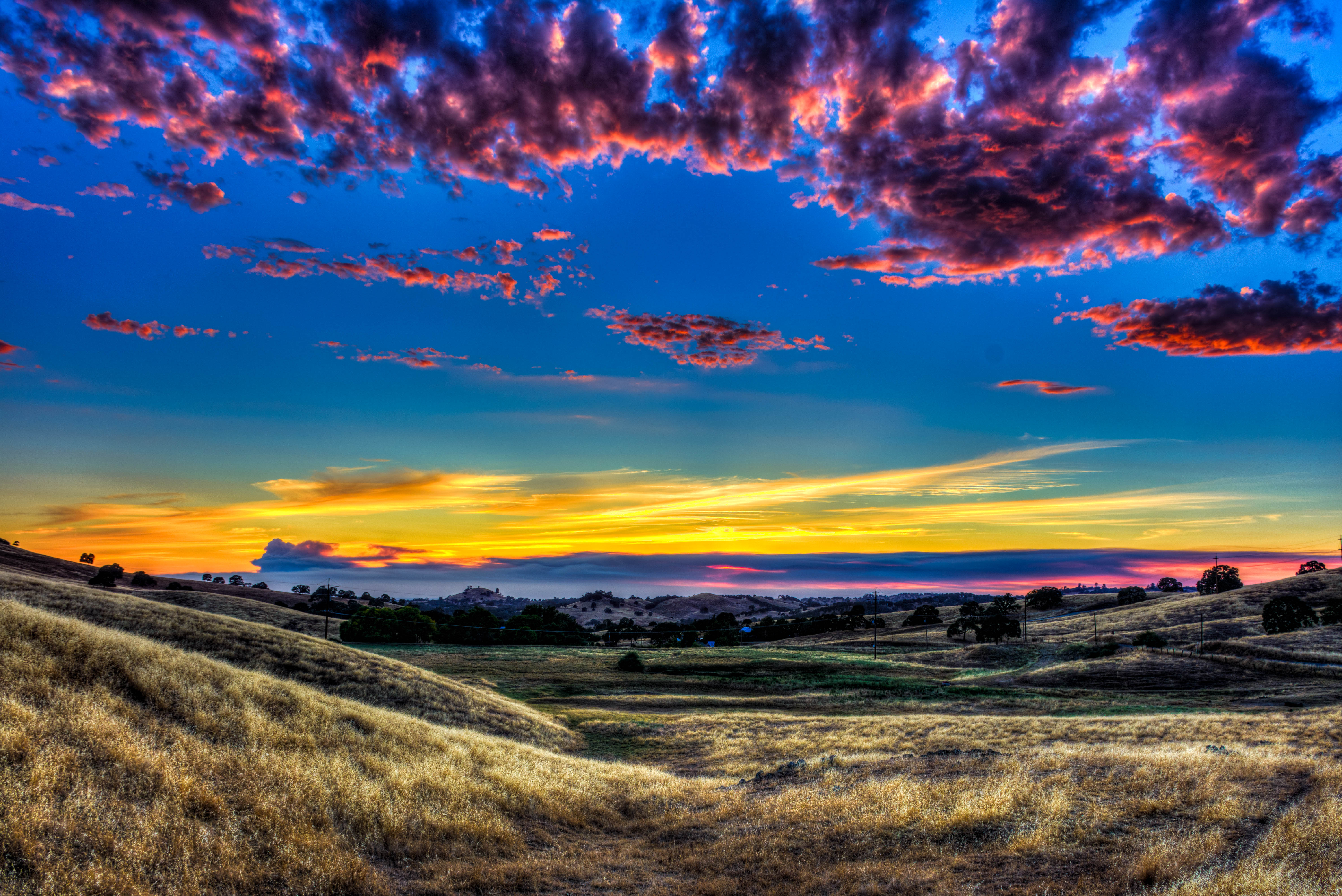
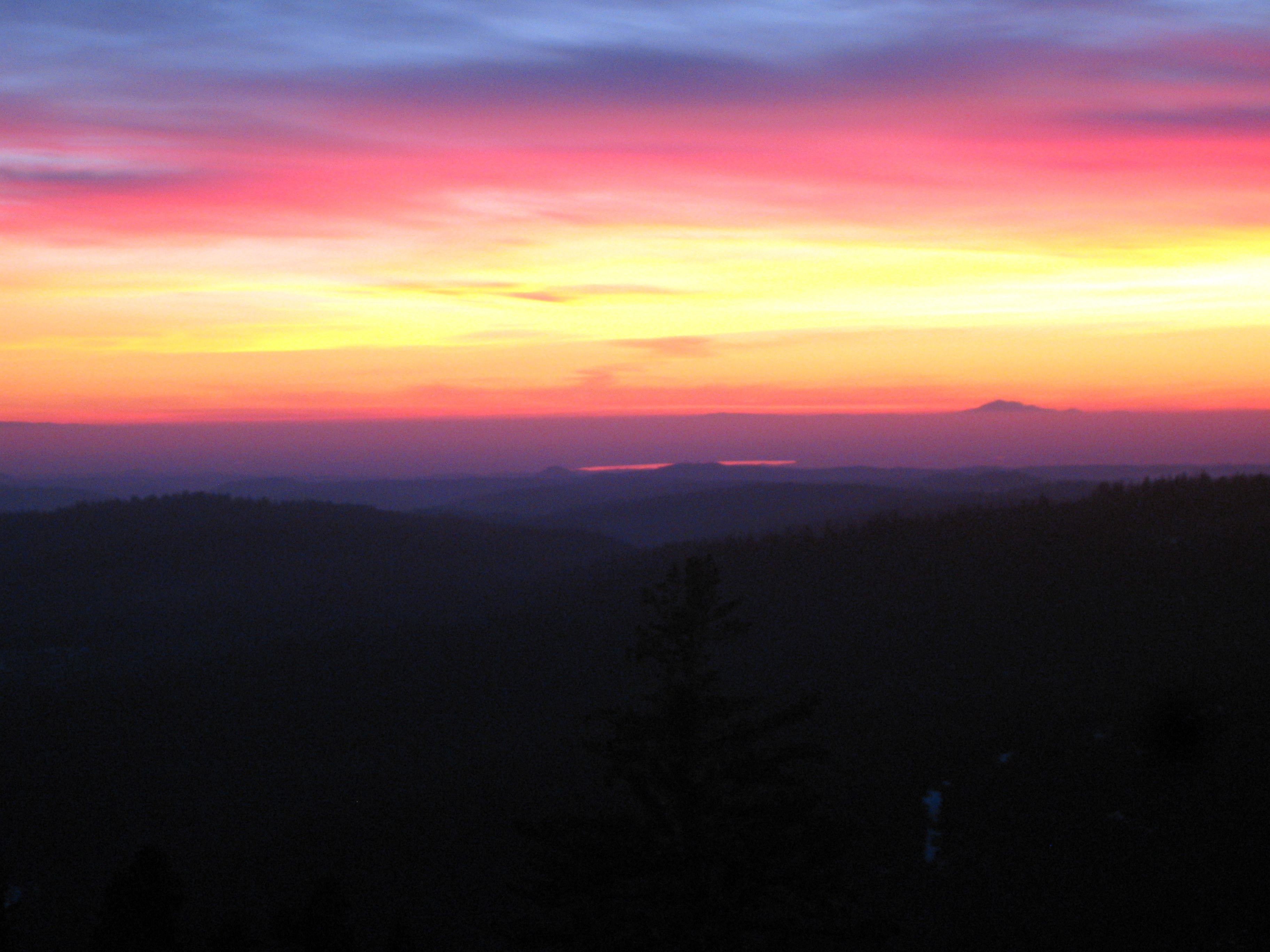
Amador Sunset
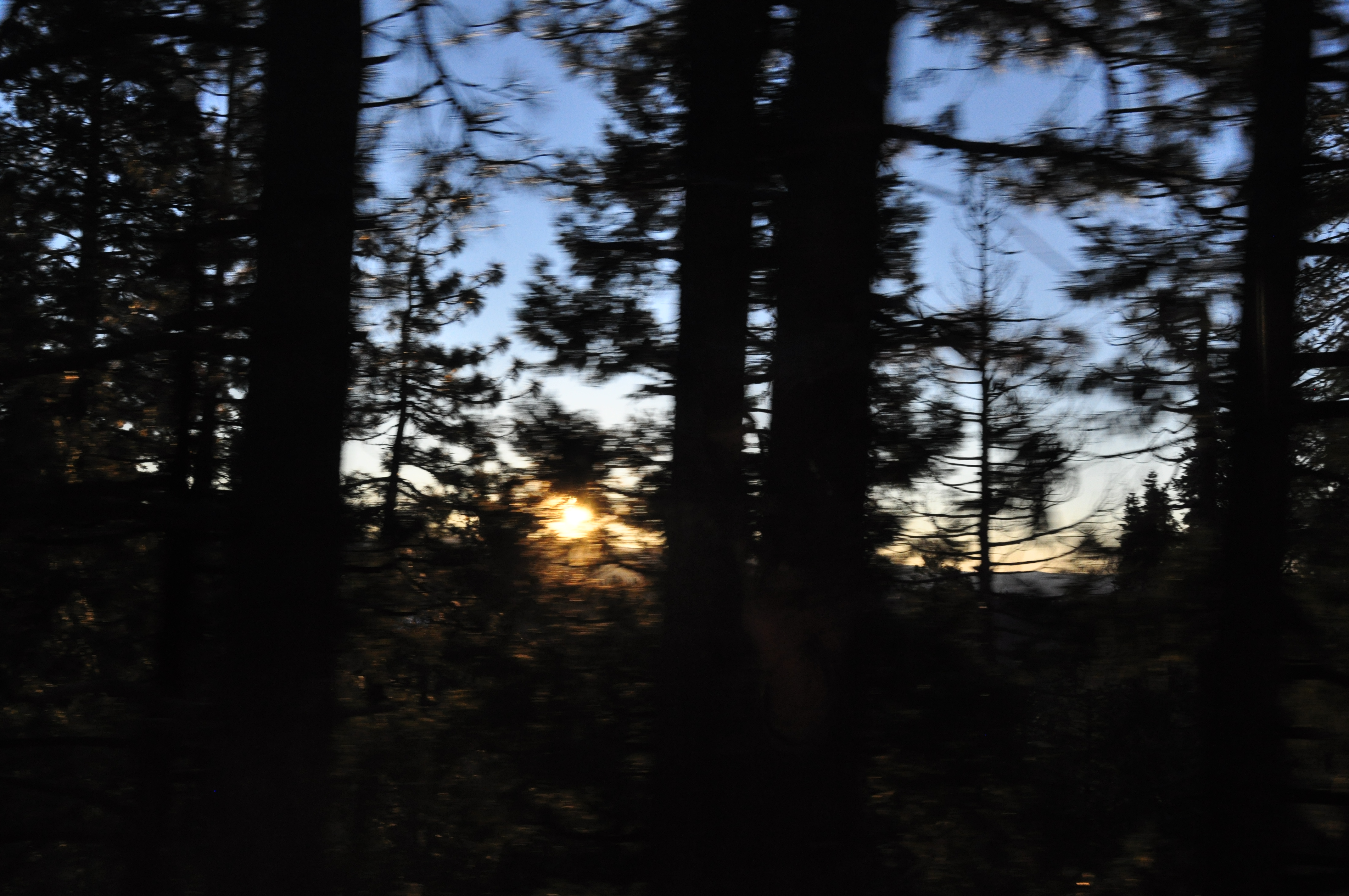
Sunset in Jackson
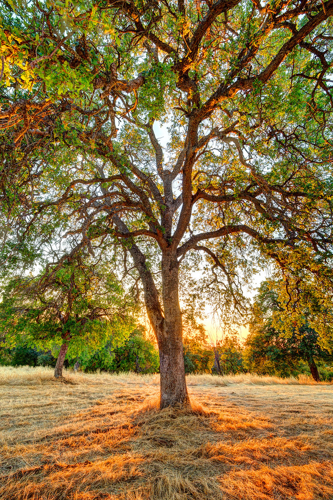
The Veins of an Oak at Sunset - Sutter Creek, CA
"Behind the Cellar Door", 2017, Hopkins, Plymouth, sunset, clouds, trees,
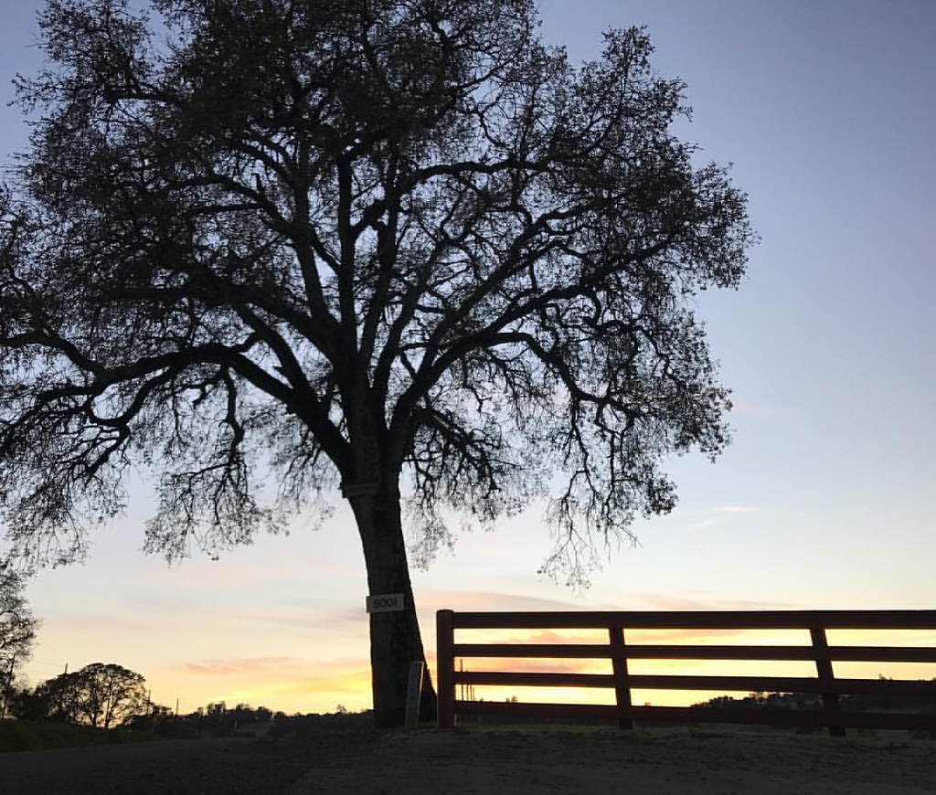
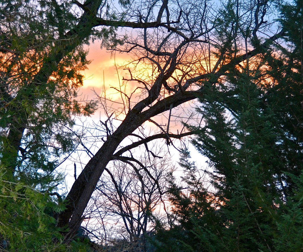
Sunset Window
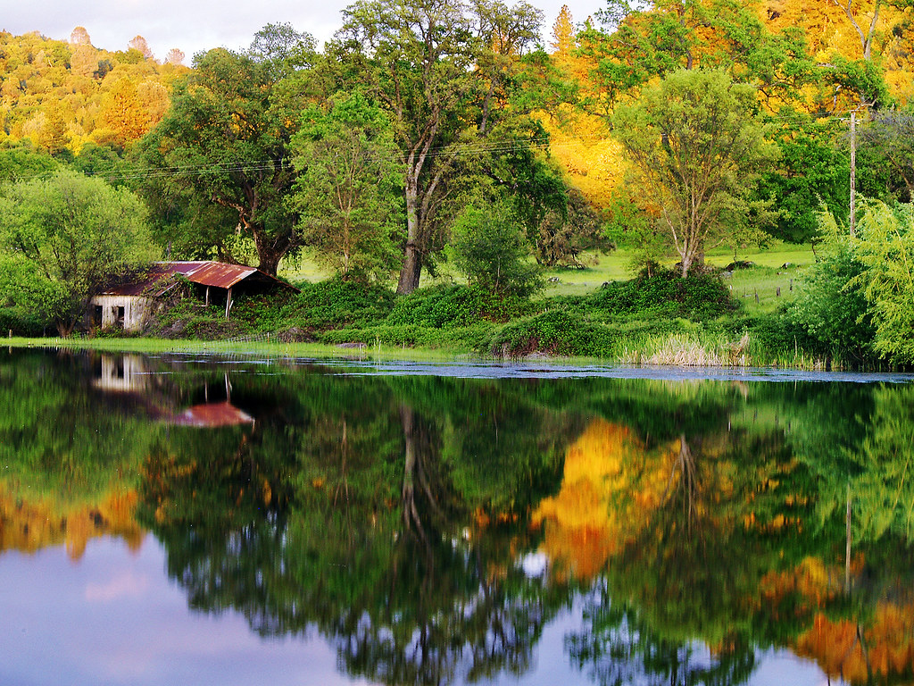
The Shed on the Pond
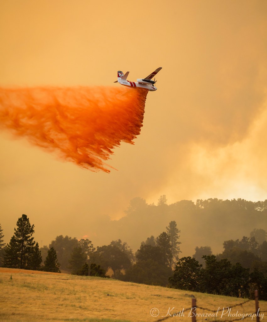
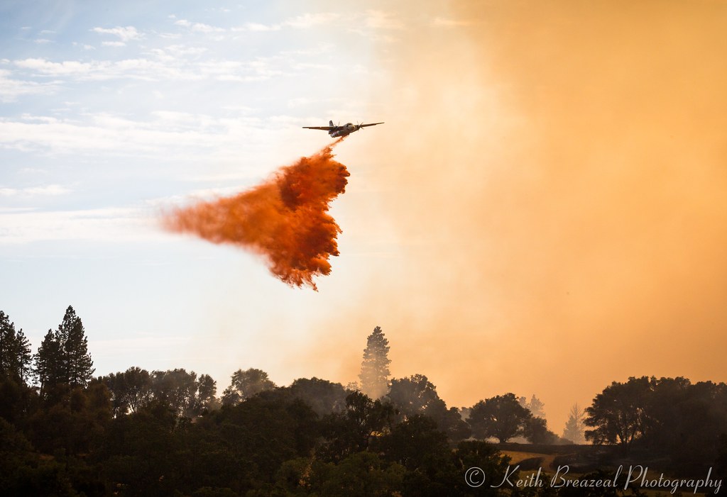
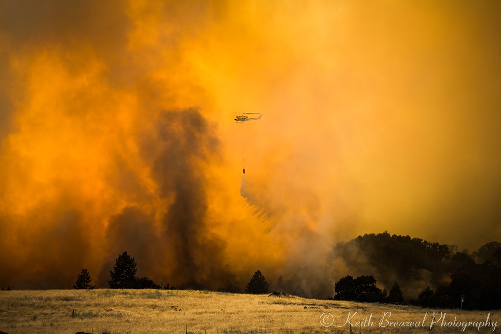
Sand Fire July 2014 © Keith Breazeal-38
DSCN0348-001
Sunset on the Pond
Living Color
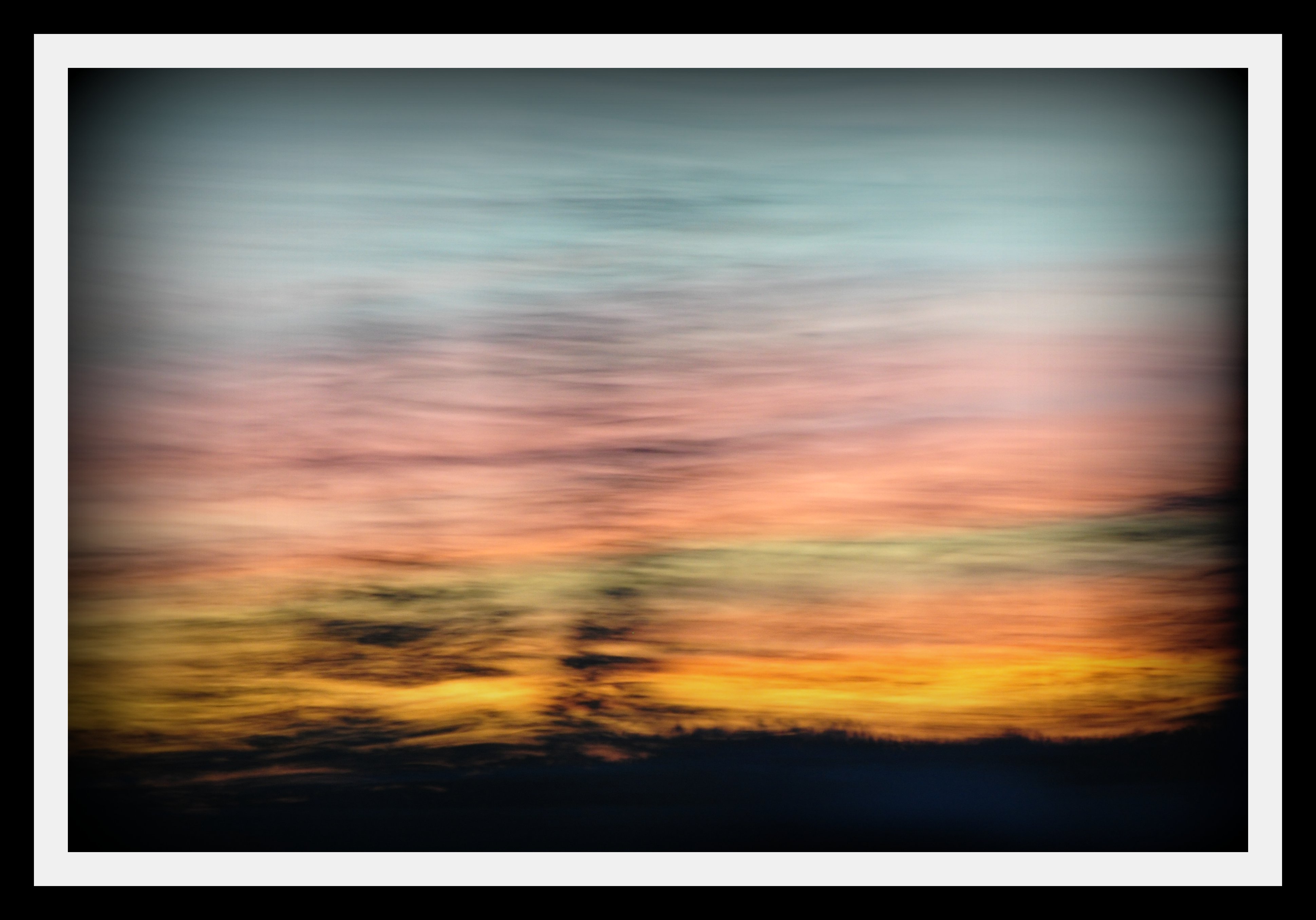
Painted Sky

Red Sun
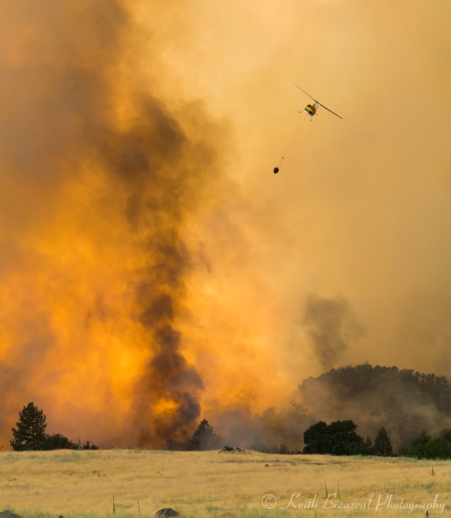
Sand Fire July 2014 © Keith Breazeal-32

Country Sunset
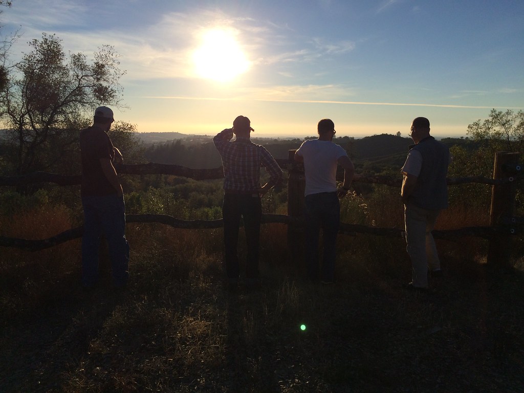
A Final Sunset at the Fence
Sand Fire July 2014 © Keith Breazeal-21
Sand Fire July 2014 © Keith Breazeal-19
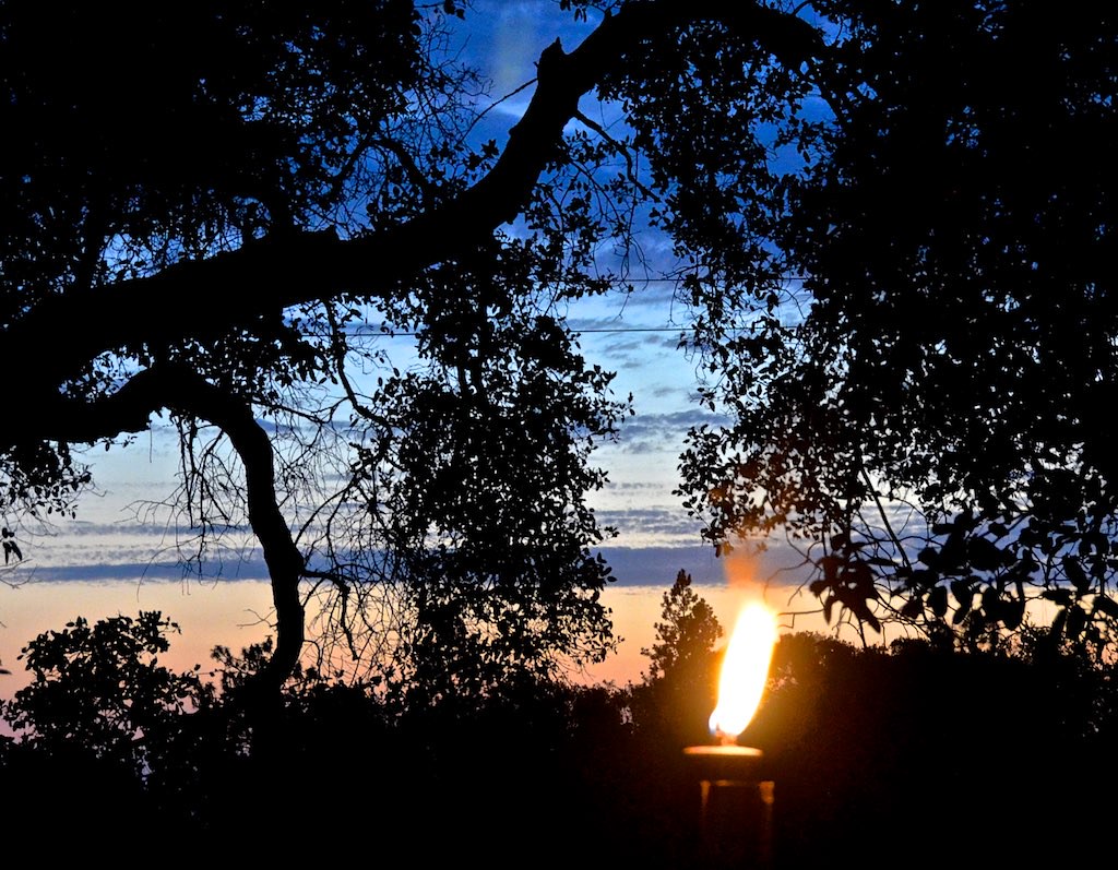
Cowboy Campfire, Dave Stamey, Hopkins, torch, sunset, Red Mule Ranch, Fiddletown,
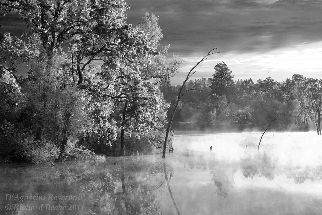
RB_05-27-11_033bw1_D'AgostiniRes-Sunrise
Rise and Shine
Indian Creek
Burke Dr, Plymouth, CA アメリカ合衆国の地図
別の場所を検索
近所の場所
アメリカ合衆国 〒 カリフォルニア州 プリマス
Church St, Plymouth, CA アメリカ合衆国Saint Marys of the Mountains Catholic Church
Nugget Way, Plymouth, CA アメリカ合衆国
Sherwood St, Plymouth, CA アメリカ合衆国アマドール・フェアグラウンズ
Twin Pines, Sutter Creek, CA アメリカ合衆国
Quartz Mountain Rd E, Sutter Creek, CA アメリカ合衆国
New Chicago Rd, Drytown, CA アメリカ合衆国
Spanish St, Drytown, CA アメリカ合衆国スパニッシュ・ストリート
St Elizabeth Ln, Drytown, CA アメリカ合衆国
アメリカ合衆国 〒 カリフォルニア州 ドライタウン
Turner Rd, Sutter Creek, CA アメリカ合衆国
Bunker Hill Rd, Amador City, CA アメリカ合衆国
アメリカ合衆国 カリフォルニア州 アマドア・シティ
Heritage Oaks Drive, Sutter Creek, CA アメリカ合衆国
36 Main St, Sutter Creek, CA アメリカ合衆国
アメリカ合衆国 カリフォルニア州 サター・クリーク
Sutter Highlands Dr, Sutter Creek, CA アメリカ合衆国
Ridge Rd, Sutter Creek, CA アメリカ合衆国
CA-49, Sutter Creek, CA アメリカ合衆国シェル
Meadow View Dr, Sutter Creek, CA アメリカ合衆国
最近の検索
- Presidente Quintana & Emilio Mitre, Carlos Keen, Provincia de Buenos Aires, Argentina日の出日の入り時間
- Deep Gap Farm Rd E, Mill Spring, NC, USA日の出日の入り時間
- 中華人民共和国 広東省 仏山市 南海区 九江鎮日の出日の入り時間
- アメリカ合衆国 〒 カリフォルニア州 マウンテンビュー日の出日の入り時間
- 日本、〒- 北海道斜里郡斜里町朱円東天に続く道展望台日の出日の入り時間
- 海岸咖啡, No. 31號, Chaishan Ave, Gushan District, Kaohsiung City, Taiwan日の出日の入り時間
- Estates Loop, Priest River, ID アメリカ合衆国日の出日の入り時間
- Woodland Oak Pl, Thousand Oaks, CA アメリカ合衆国日の出日の入り時間
- Sarangdanda ネパール日の出日の入り時間
- 日本、〒- 宮城県塩竈市中の島日の出日の入り時間