Bluff St, Banning, CA アメリカ合衆国日の出日の入り時間
Location: アメリカ合衆国 > カリフォルニア州 > リバーサイド > アメリカ合衆国 カリフォルニア州 バニング >
時間帯:
America/Los_Angeles
現地時間:
2024-05-02 16:16:33
経度:
-116.9113789
緯度:
34.0053144
今日の日の出時刻:
05:55:20 AM
今日の日の入時刻:
07:33:32 PM
今日の日長:
13h 38m 12s
明日の日の出時刻:
05:54:23 AM
明日の日の入時刻:
07:34:18 PM
明日の日長:
13h 39m 55s
すべて表示する
| 日付 | 日出 | 日没 | 日長 |
|---|---|---|---|
| 2024年01月01日 | 06:53:09 AM | 04:49:53 PM | 9h 56m 44s |
| 2024年01月02日 | 06:53:18 AM | 04:50:39 PM | 9h 57m 21s |
| 2024年01月03日 | 06:53:26 AM | 04:51:26 PM | 9h 58m 0s |
| 2024年01月04日 | 06:53:32 AM | 04:52:14 PM | 9h 58m 42s |
| 2024年01月05日 | 06:53:36 AM | 04:53:03 PM | 9h 59m 27s |
| 2024年01月06日 | 06:53:38 AM | 04:53:54 PM | 10h 0m 16s |
| 2024年01月07日 | 06:53:39 AM | 04:54:44 PM | 10h 1m 5s |
| 2024年01月08日 | 06:53:37 AM | 04:55:36 PM | 10h 1m 59s |
| 2024年01月09日 | 06:53:34 AM | 04:56:29 PM | 10h 2m 55s |
| 2024年01月10日 | 06:53:28 AM | 04:57:22 PM | 10h 3m 54s |
| 2024年01月11日 | 06:53:21 AM | 04:58:16 PM | 10h 4m 55s |
| 2024年01月12日 | 06:53:12 AM | 04:59:11 PM | 10h 5m 59s |
| 2024年01月13日 | 06:53:02 AM | 05:00:06 PM | 10h 7m 4s |
| 2024年01月14日 | 06:52:49 AM | 05:01:02 PM | 10h 8m 13s |
| 2024年01月15日 | 06:52:34 AM | 05:01:58 PM | 10h 9m 24s |
| 2024年01月16日 | 06:52:18 AM | 05:02:55 PM | 10h 10m 37s |
| 2024年01月17日 | 06:52:00 AM | 05:03:52 PM | 10h 11m 52s |
| 2024年01月18日 | 06:51:40 AM | 05:04:50 PM | 10h 13m 10s |
| 2024年01月19日 | 06:51:18 AM | 05:05:48 PM | 10h 14m 30s |
| 2024年01月20日 | 06:50:54 AM | 05:06:46 PM | 10h 15m 52s |
| 2024年01月21日 | 06:50:29 AM | 05:07:44 PM | 10h 17m 15s |
| 2024年01月22日 | 06:50:02 AM | 05:08:43 PM | 10h 18m 41s |
| 2024年01月23日 | 06:49:33 AM | 05:09:42 PM | 10h 20m 9s |
| 2024年01月24日 | 06:49:03 AM | 05:10:41 PM | 10h 21m 38s |
| 2024年01月25日 | 06:48:30 AM | 05:11:40 PM | 10h 23m 10s |
| 2024年01月26日 | 06:47:56 AM | 05:12:39 PM | 10h 24m 43s |
| 2024年01月27日 | 06:47:21 AM | 05:13:39 PM | 10h 26m 18s |
| 2024年01月28日 | 06:46:44 AM | 05:14:38 PM | 10h 27m 54s |
| 2024年01月29日 | 06:46:05 AM | 05:15:37 PM | 10h 29m 32s |
| 2024年01月30日 | 06:45:24 AM | 05:16:36 PM | 10h 31m 12s |
| 2024年01月31日 | 06:44:42 AM | 05:17:35 PM | 10h 32m 53s |
| 2024年02月01日 | 06:43:59 AM | 05:18:34 PM | 10h 34m 35s |
| 2024年02月02日 | 06:43:14 AM | 05:19:33 PM | 10h 36m 19s |
| 2024年02月03日 | 06:42:28 AM | 05:20:32 PM | 10h 38m 4s |
| 2024年02月04日 | 06:41:40 AM | 05:21:30 PM | 10h 39m 50s |
| 2024年02月05日 | 06:40:50 AM | 05:22:29 PM | 10h 41m 39s |
| 2024年02月06日 | 06:40:00 AM | 05:23:27 PM | 10h 43m 27s |
| 2024年02月07日 | 06:39:07 AM | 05:24:25 PM | 10h 45m 18s |
| 2024年02月08日 | 06:38:14 AM | 05:25:22 PM | 10h 47m 8s |
| 2024年02月09日 | 06:37:19 AM | 05:26:20 PM | 10h 49m 1s |
| 2024年02月10日 | 06:36:23 AM | 05:27:17 PM | 10h 50m 54s |
| 2024年02月11日 | 06:35:26 AM | 05:28:14 PM | 10h 52m 48s |
| 2024年02月12日 | 06:34:28 AM | 05:29:10 PM | 10h 54m 42s |
| 2024年02月13日 | 06:33:28 AM | 05:30:07 PM | 10h 56m 39s |
| 2024年02月14日 | 06:32:27 AM | 05:31:03 PM | 10h 58m 36s |
| 2024年02月15日 | 06:31:25 AM | 05:31:58 PM | 11h 0m 33s |
| 2024年02月16日 | 06:30:22 AM | 05:32:53 PM | 11h 2m 31s |
| 2024年02月17日 | 06:29:18 AM | 05:33:48 PM | 11h 4m 30s |
| 2024年02月18日 | 06:28:13 AM | 05:34:43 PM | 11h 6m 30s |
| 2024年02月19日 | 06:27:07 AM | 05:35:37 PM | 11h 8m 30s |
| 2024年02月20日 | 06:26:00 AM | 05:36:31 PM | 11h 10m 31s |
| 2024年02月21日 | 06:24:52 AM | 05:37:25 PM | 11h 12m 33s |
| 2024年02月22日 | 06:23:43 AM | 05:38:18 PM | 11h 14m 35s |
| 2024年02月23日 | 06:22:33 AM | 05:39:11 PM | 11h 16m 38s |
| 2024年02月24日 | 06:21:22 AM | 05:40:03 PM | 11h 18m 41s |
| 2024年02月25日 | 06:20:11 AM | 05:40:55 PM | 11h 20m 44s |
| 2024年02月26日 | 06:18:59 AM | 05:41:47 PM | 11h 22m 48s |
| 2024年02月27日 | 06:17:46 AM | 05:42:39 PM | 11h 24m 53s |
| 2024年02月28日 | 06:16:32 AM | 05:43:30 PM | 11h 26m 58s |
| 2024年02月29日 | 06:15:18 AM | 05:44:21 PM | 11h 29m 3s |
| 2024年03月01日 | 06:14:02 AM | 05:45:11 PM | 11h 31m 9s |
| 2024年03月02日 | 06:12:47 AM | 05:46:01 PM | 11h 33m 14s |
| 2024年03月03日 | 06:11:30 AM | 05:46:51 PM | 11h 35m 21s |
| 2024年03月04日 | 06:10:14 AM | 05:47:41 PM | 11h 37m 27s |
| 2024年03月05日 | 06:08:56 AM | 05:48:30 PM | 11h 39m 34s |
| 2024年03月06日 | 06:07:38 AM | 05:49:19 PM | 11h 41m 41s |
| 2024年03月07日 | 06:06:20 AM | 05:50:08 PM | 11h 43m 48s |
| 2024年03月08日 | 06:05:01 AM | 05:50:56 PM | 11h 45m 55s |
| 2024年03月09日 | 06:03:42 AM | 05:51:45 PM | 11h 48m 3s |
| 2024年03月10日 | 07:02:26 AM | 06:52:31 PM | 11h 50m 5s |
| 2024年03月11日 | 07:01:06 AM | 06:53:18 PM | 11h 52m 12s |
| 2024年03月12日 | 06:59:45 AM | 06:54:06 PM | 11h 54m 21s |
| 2024年03月13日 | 06:58:25 AM | 06:54:53 PM | 11h 56m 28s |
| 2024年03月14日 | 06:57:04 AM | 06:55:40 PM | 11h 58m 36s |
| 2024年03月15日 | 06:55:43 AM | 06:56:27 PM | 12h 0m 44s |
| 2024年03月16日 | 06:54:22 AM | 06:57:14 PM | 12h 2m 52s |
| 2024年03月17日 | 06:53:00 AM | 06:58:00 PM | 12h 5m 0s |
| 2024年03月18日 | 06:51:39 AM | 06:58:47 PM | 12h 7m 8s |
| 2024年03月19日 | 06:50:17 AM | 06:59:33 PM | 12h 9m 16s |
| 2024年03月20日 | 06:48:55 AM | 07:00:19 PM | 12h 11m 24s |
| 2024年03月21日 | 06:47:33 AM | 07:01:05 PM | 12h 13m 32s |
| 2024年03月22日 | 06:46:11 AM | 07:01:51 PM | 12h 15m 40s |
| 2024年03月23日 | 06:44:49 AM | 07:02:37 PM | 12h 17m 48s |
| 2024年03月24日 | 06:43:28 AM | 07:03:22 PM | 12h 19m 54s |
| 2024年03月25日 | 06:42:06 AM | 07:04:08 PM | 12h 22m 2s |
| 2024年03月26日 | 06:40:44 AM | 07:04:54 PM | 12h 24m 10s |
| 2024年03月27日 | 06:39:22 AM | 07:05:39 PM | 12h 26m 17s |
| 2024年03月28日 | 06:38:01 AM | 07:06:24 PM | 12h 28m 23s |
| 2024年03月29日 | 06:36:40 AM | 07:07:10 PM | 12h 30m 30s |
| 2024年03月30日 | 06:35:18 AM | 07:07:55 PM | 12h 32m 37s |
| 2024年03月31日 | 06:33:58 AM | 07:08:40 PM | 12h 34m 42s |
| 2024年04月01日 | 06:32:37 AM | 07:09:26 PM | 12h 36m 49s |
| 2024年04月02日 | 06:31:17 AM | 07:10:11 PM | 12h 38m 54s |
| 2024年04月03日 | 06:29:57 AM | 07:10:56 PM | 12h 40m 59s |
| 2024年04月04日 | 06:28:37 AM | 07:11:42 PM | 12h 43m 5s |
| 2024年04月05日 | 06:27:18 AM | 07:12:27 PM | 12h 45m 9s |
| 2024年04月06日 | 06:25:59 AM | 07:13:13 PM | 12h 47m 14s |
| 2024年04月07日 | 06:24:40 AM | 07:13:58 PM | 12h 49m 18s |
| 2024年04月08日 | 06:23:22 AM | 07:14:44 PM | 12h 51m 22s |
| 2024年04月09日 | 06:22:05 AM | 07:15:29 PM | 12h 53m 24s |
| 2024年04月10日 | 06:20:48 AM | 07:16:15 PM | 12h 55m 27s |
| 2024年04月11日 | 06:19:31 AM | 07:17:00 PM | 12h 57m 29s |
| 2024年04月12日 | 06:18:15 AM | 07:17:46 PM | 12h 59m 31s |
| 2024年04月13日 | 06:17:00 AM | 07:18:32 PM | 13h 1m 32s |
| 2024年04月14日 | 06:15:45 AM | 07:19:18 PM | 13h 3m 33s |
| 2024年04月15日 | 06:14:31 AM | 07:20:04 PM | 13h 5m 33s |
| 2024年04月16日 | 06:13:18 AM | 07:20:50 PM | 13h 7m 32s |
| 2024年04月17日 | 06:12:06 AM | 07:21:36 PM | 13h 9m 30s |
| 2024年04月18日 | 06:10:54 AM | 07:22:22 PM | 13h 11m 28s |
| 2024年04月19日 | 06:09:43 AM | 07:23:08 PM | 13h 13m 25s |
| 2024年04月20日 | 06:08:32 AM | 07:23:55 PM | 13h 15m 23s |
| 2024年04月21日 | 06:07:23 AM | 07:24:41 PM | 13h 17m 18s |
| 2024年04月22日 | 06:06:14 AM | 07:25:28 PM | 13h 19m 14s |
| 2024年04月23日 | 06:05:07 AM | 07:26:14 PM | 13h 21m 7s |
| 2024年04月24日 | 06:04:00 AM | 07:27:01 PM | 13h 23m 1s |
| 2024年04月25日 | 06:02:54 AM | 07:27:47 PM | 13h 24m 53s |
| 2024年04月26日 | 06:01:49 AM | 07:28:34 PM | 13h 26m 45s |
| 2024年04月27日 | 06:00:45 AM | 07:29:21 PM | 13h 28m 36s |
| 2024年04月28日 | 05:59:42 AM | 07:30:07 PM | 13h 30m 25s |
| 2024年04月29日 | 05:58:40 AM | 07:30:54 PM | 13h 32m 14s |
| 2024年04月30日 | 05:57:40 AM | 07:31:41 PM | 13h 34m 1s |
| 2024年05月01日 | 05:56:40 AM | 07:32:28 PM | 13h 35m 48s |
| 2024年05月02日 | 05:55:41 AM | 07:33:14 PM | 13h 37m 33s |
| 2024年05月03日 | 05:54:44 AM | 07:34:01 PM | 13h 39m 17s |
| 2024年05月04日 | 05:53:48 AM | 07:34:48 PM | 13h 41m 0s |
| 2024年05月05日 | 05:52:53 AM | 07:35:34 PM | 13h 42m 41s |
| 2024年05月06日 | 05:51:59 AM | 07:36:21 PM | 13h 44m 22s |
| 2024年05月07日 | 05:51:06 AM | 07:37:07 PM | 13h 46m 1s |
| 2024年05月08日 | 05:50:15 AM | 07:37:53 PM | 13h 47m 38s |
| 2024年05月09日 | 05:49:25 AM | 07:38:39 PM | 13h 49m 14s |
| 2024年05月10日 | 05:48:36 AM | 07:39:25 PM | 13h 50m 49s |
| 2024年05月11日 | 05:47:49 AM | 07:40:11 PM | 13h 52m 22s |
| 2024年05月12日 | 05:47:03 AM | 07:40:56 PM | 13h 53m 53s |
| 2024年05月13日 | 05:46:18 AM | 07:41:41 PM | 13h 55m 23s |
| 2024年05月14日 | 05:45:35 AM | 07:42:26 PM | 13h 56m 51s |
| 2024年05月15日 | 05:44:53 AM | 07:43:11 PM | 13h 58m 18s |
| 2024年05月16日 | 05:44:13 AM | 07:43:55 PM | 13h 59m 42s |
| 2024年05月17日 | 05:43:34 AM | 07:44:39 PM | 14h 1m 5s |
| 2024年05月18日 | 05:42:56 AM | 07:45:23 PM | 14h 2m 27s |
| 2024年05月19日 | 05:42:21 AM | 07:46:06 PM | 14h 3m 45s |
| 2024年05月20日 | 05:41:46 AM | 07:46:49 PM | 14h 5m 3s |
| 2024年05月21日 | 05:41:13 AM | 07:47:31 PM | 14h 6m 18s |
| 2024年05月22日 | 05:40:42 AM | 07:48:13 PM | 14h 7m 31s |
| 2024年05月23日 | 05:40:12 AM | 07:48:54 PM | 14h 8m 42s |
| 2024年05月24日 | 05:39:44 AM | 07:49:35 PM | 14h 9m 51s |
| 2024年05月25日 | 05:39:17 AM | 07:50:15 PM | 14h 10m 58s |
| 2024年05月26日 | 05:38:52 AM | 07:50:55 PM | 14h 12m 3s |
| 2024年05月27日 | 05:38:28 AM | 07:51:34 PM | 14h 13m 6s |
| 2024年05月28日 | 05:38:06 AM | 07:52:12 PM | 14h 14m 6s |
| 2024年05月29日 | 05:37:46 AM | 07:52:49 PM | 14h 15m 3s |
| 2024年05月30日 | 05:37:27 AM | 07:53:26 PM | 14h 15m 59s |
| 2024年05月31日 | 05:37:10 AM | 07:54:02 PM | 14h 16m 52s |
| 2024年06月01日 | 05:36:54 AM | 07:54:37 PM | 14h 17m 43s |
| 2024年06月02日 | 05:36:40 AM | 07:55:11 PM | 14h 18m 31s |
| 2024年06月03日 | 05:36:28 AM | 07:55:44 PM | 14h 19m 16s |
| 2024年06月04日 | 05:36:17 AM | 07:56:16 PM | 14h 19m 59s |
| 2024年06月05日 | 05:36:08 AM | 07:56:47 PM | 14h 20m 39s |
| 2024年06月06日 | 05:36:00 AM | 07:57:18 PM | 14h 21m 18s |
| 2024年06月07日 | 05:35:54 AM | 07:57:47 PM | 14h 21m 53s |
| 2024年06月08日 | 05:35:50 AM | 07:58:15 PM | 14h 22m 25s |
| 2024年06月09日 | 05:35:47 AM | 07:58:42 PM | 14h 22m 55s |
| 2024年06月10日 | 05:35:45 AM | 07:59:08 PM | 14h 23m 23s |
| 2024年06月11日 | 05:35:46 AM | 07:59:32 PM | 14h 23m 46s |
| 2024年06月12日 | 05:35:47 AM | 07:59:56 PM | 14h 24m 9s |
| 2024年06月13日 | 05:35:51 AM | 08:00:18 PM | 14h 24m 27s |
| 2024年06月14日 | 05:35:56 AM | 08:00:39 PM | 14h 24m 43s |
| 2024年06月15日 | 05:36:02 AM | 08:00:59 PM | 14h 24m 57s |
| 2024年06月16日 | 05:36:10 AM | 08:01:17 PM | 14h 25m 7s |
| 2024年06月17日 | 05:36:19 AM | 08:01:34 PM | 14h 25m 15s |
| 2024年06月18日 | 05:36:29 AM | 08:01:49 PM | 14h 25m 20s |
| 2024年06月19日 | 05:36:41 AM | 08:02:03 PM | 14h 25m 22s |
| 2024年06月20日 | 05:36:55 AM | 08:02:16 PM | 14h 25m 21s |
| 2024年06月21日 | 05:37:10 AM | 08:02:27 PM | 14h 25m 17s |
| 2024年06月22日 | 05:37:26 AM | 08:02:37 PM | 14h 25m 11s |
| 2024年06月23日 | 05:37:43 AM | 08:02:45 PM | 14h 25m 2s |
| 2024年06月24日 | 05:38:02 AM | 08:02:52 PM | 14h 24m 50s |
| 2024年06月25日 | 05:38:22 AM | 08:02:57 PM | 14h 24m 35s |
| 2024年06月26日 | 05:38:43 AM | 08:03:01 PM | 14h 24m 18s |
| 2024年06月27日 | 05:39:05 AM | 08:03:03 PM | 14h 23m 58s |
| 2024年06月28日 | 05:39:29 AM | 08:03:03 PM | 14h 23m 34s |
| 2024年06月29日 | 05:39:53 AM | 08:03:02 PM | 14h 23m 9s |
| 2024年06月30日 | 05:40:19 AM | 08:03:00 PM | 14h 22m 41s |
| 2024年07月01日 | 05:40:46 AM | 08:02:55 PM | 14h 22m 9s |
| 2024年07月02日 | 05:41:14 AM | 08:02:49 PM | 14h 21m 35s |
| 2024年07月03日 | 05:41:43 AM | 08:02:42 PM | 14h 20m 59s |
| 2024年07月04日 | 05:42:12 AM | 08:02:33 PM | 14h 20m 21s |
| 2024年07月05日 | 05:42:43 AM | 08:02:22 PM | 14h 19m 39s |
| 2024年07月06日 | 05:43:15 AM | 08:02:09 PM | 14h 18m 54s |
| 2024年07月07日 | 05:43:47 AM | 08:01:55 PM | 14h 18m 8s |
| 2024年07月08日 | 05:44:20 AM | 08:01:39 PM | 14h 17m 19s |
| 2024年07月09日 | 05:44:54 AM | 08:01:22 PM | 14h 16m 28s |
| 2024年07月10日 | 05:45:29 AM | 08:01:03 PM | 14h 15m 34s |
| 2024年07月11日 | 05:46:05 AM | 08:00:42 PM | 14h 14m 37s |
| 2024年07月12日 | 05:46:41 AM | 08:00:20 PM | 14h 13m 39s |
| 2024年07月13日 | 05:47:18 AM | 07:59:56 PM | 14h 12m 38s |
| 2024年07月14日 | 05:47:55 AM | 07:59:30 PM | 14h 11m 35s |
| 2024年07月15日 | 05:48:33 AM | 07:59:03 PM | 14h 10m 30s |
| 2024年07月16日 | 05:49:12 AM | 07:58:34 PM | 14h 9m 22s |
| 2024年07月17日 | 05:49:51 AM | 07:58:04 PM | 14h 8m 13s |
| 2024年07月18日 | 05:50:30 AM | 07:57:32 PM | 14h 7m 2s |
| 2024年07月19日 | 05:51:10 AM | 07:56:58 PM | 14h 5m 48s |
| 2024年07月20日 | 05:51:51 AM | 07:56:23 PM | 14h 4m 32s |
| 2024年07月21日 | 05:52:32 AM | 07:55:47 PM | 14h 3m 15s |
| 2024年07月22日 | 05:53:13 AM | 07:55:08 PM | 14h 1m 55s |
| 2024年07月23日 | 05:53:54 AM | 07:54:29 PM | 14h 0m 35s |
| 2024年07月24日 | 05:54:36 AM | 07:53:48 PM | 13h 59m 12s |
| 2024年07月25日 | 05:55:18 AM | 07:53:05 PM | 13h 57m 47s |
| 2024年07月26日 | 05:56:00 AM | 07:52:21 PM | 13h 56m 21s |
| 2024年07月27日 | 05:56:43 AM | 07:51:36 PM | 13h 54m 53s |
| 2024年07月28日 | 05:57:26 AM | 07:50:49 PM | 13h 53m 23s |
| 2024年07月29日 | 05:58:08 AM | 07:50:01 PM | 13h 51m 53s |
| 2024年07月30日 | 05:58:51 AM | 07:49:11 PM | 13h 50m 20s |
| 2024年07月31日 | 05:59:35 AM | 07:48:20 PM | 13h 48m 45s |
| 2024年08月01日 | 06:00:18 AM | 07:47:28 PM | 13h 47m 10s |
| 2024年08月02日 | 06:01:01 AM | 07:46:34 PM | 13h 45m 33s |
| 2024年08月03日 | 06:01:45 AM | 07:45:39 PM | 13h 43m 54s |
| 2024年08月04日 | 06:02:28 AM | 07:44:43 PM | 13h 42m 15s |
| 2024年08月05日 | 06:03:12 AM | 07:43:46 PM | 13h 40m 34s |
| 2024年08月06日 | 06:03:55 AM | 07:42:48 PM | 13h 38m 53s |
| 2024年08月07日 | 06:04:39 AM | 07:41:48 PM | 13h 37m 9s |
| 2024年08月08日 | 06:05:22 AM | 07:40:47 PM | 13h 35m 25s |
| 2024年08月09日 | 06:06:06 AM | 07:39:45 PM | 13h 33m 39s |
| 2024年08月10日 | 06:06:49 AM | 07:38:42 PM | 13h 31m 53s |
| 2024年08月11日 | 06:07:32 AM | 07:37:38 PM | 13h 30m 6s |
| 2024年08月12日 | 06:08:16 AM | 07:36:33 PM | 13h 28m 17s |
| 2024年08月13日 | 06:08:59 AM | 07:35:27 PM | 13h 26m 28s |
| 2024年08月14日 | 06:09:42 AM | 07:34:19 PM | 13h 24m 37s |
| 2024年08月15日 | 06:10:25 AM | 07:33:11 PM | 13h 22m 46s |
| 2024年08月16日 | 06:11:08 AM | 07:32:02 PM | 13h 20m 54s |
| 2024年08月17日 | 06:11:51 AM | 07:30:52 PM | 13h 19m 1s |
| 2024年08月18日 | 06:12:34 AM | 07:29:41 PM | 13h 17m 7s |
| 2024年08月19日 | 06:13:17 AM | 07:28:30 PM | 13h 15m 13s |
| 2024年08月20日 | 06:13:59 AM | 07:27:17 PM | 13h 13m 18s |
| 2024年08月21日 | 06:14:42 AM | 07:26:04 PM | 13h 11m 22s |
| 2024年08月22日 | 06:15:24 AM | 07:24:50 PM | 13h 9m 26s |
| 2024年08月23日 | 06:16:06 AM | 07:23:35 PM | 13h 7m 29s |
| 2024年08月24日 | 06:16:49 AM | 07:22:19 PM | 13h 5m 30s |
| 2024年08月25日 | 06:17:31 AM | 07:21:03 PM | 13h 3m 32s |
| 2024年08月26日 | 06:18:13 AM | 07:19:46 PM | 13h 1m 33s |
| 2024年08月27日 | 06:18:54 AM | 07:18:29 PM | 12h 59m 35s |
| 2024年08月28日 | 06:19:36 AM | 07:17:11 PM | 12h 57m 35s |
| 2024年08月29日 | 06:20:18 AM | 07:15:52 PM | 12h 55m 34s |
| 2024年08月30日 | 06:20:59 AM | 07:14:33 PM | 12h 53m 34s |
| 2024年08月31日 | 06:21:41 AM | 07:13:13 PM | 12h 51m 32s |
| 2024年09月01日 | 06:22:22 AM | 07:11:53 PM | 12h 49m 31s |
| 2024年09月02日 | 06:23:04 AM | 07:10:32 PM | 12h 47m 28s |
| 2024年09月03日 | 06:23:45 AM | 07:09:11 PM | 12h 45m 26s |
| 2024年09月04日 | 06:24:26 AM | 07:07:49 PM | 12h 43m 23s |
| 2024年09月05日 | 06:25:07 AM | 07:06:27 PM | 12h 41m 20s |
| 2024年09月06日 | 06:25:49 AM | 07:05:05 PM | 12h 39m 16s |
| 2024年09月07日 | 06:26:30 AM | 07:03:42 PM | 12h 37m 12s |
| 2024年09月08日 | 06:27:11 AM | 07:02:19 PM | 12h 35m 8s |
| 2024年09月09日 | 06:27:52 AM | 07:00:56 PM | 12h 33m 4s |
| 2024年09月10日 | 06:28:33 AM | 06:59:33 PM | 12h 31m 0s |
| 2024年09月11日 | 06:29:14 AM | 06:58:09 PM | 12h 28m 55s |
| 2024年09月12日 | 06:29:55 AM | 06:56:45 PM | 12h 26m 50s |
| 2024年09月13日 | 06:30:36 AM | 06:55:21 PM | 12h 24m 45s |
| 2024年09月14日 | 06:31:18 AM | 06:53:57 PM | 12h 22m 39s |
| 2024年09月15日 | 06:31:59 AM | 06:52:33 PM | 12h 20m 34s |
| 2024年09月16日 | 06:32:40 AM | 06:51:09 PM | 12h 18m 29s |
| 2024年09月17日 | 06:33:22 AM | 06:49:45 PM | 12h 16m 23s |
| 2024年09月18日 | 06:34:03 AM | 06:48:20 PM | 12h 14m 17s |
| 2024年09月19日 | 06:34:45 AM | 06:46:56 PM | 12h 12m 11s |
| 2024年09月20日 | 06:35:27 AM | 06:45:32 PM | 12h 10m 5s |
| 2024年09月21日 | 06:36:08 AM | 06:44:08 PM | 12h 8m 0s |
| 2024年09月22日 | 06:36:50 AM | 06:42:44 PM | 12h 5m 54s |
| 2024年09月23日 | 06:37:32 AM | 06:41:20 PM | 12h 3m 48s |
| 2024年09月24日 | 06:38:15 AM | 06:39:56 PM | 12h 1m 41s |
| 2024年09月25日 | 06:38:57 AM | 06:38:33 PM | 11h 59m 36s |
| 2024年09月26日 | 06:39:40 AM | 06:37:09 PM | 11h 57m 29s |
| 2024年09月27日 | 06:40:23 AM | 06:35:46 PM | 11h 55m 23s |
| 2024年09月28日 | 06:41:06 AM | 06:34:23 PM | 11h 53m 17s |
| 2024年09月29日 | 06:41:49 AM | 06:33:01 PM | 11h 51m 12s |
| 2024年09月30日 | 06:42:33 AM | 06:31:39 PM | 11h 49m 6s |
| 2024年10月01日 | 06:43:17 AM | 06:30:17 PM | 11h 47m 0s |
| 2024年10月02日 | 06:44:01 AM | 06:28:56 PM | 11h 44m 55s |
| 2024年10月03日 | 06:44:45 AM | 06:27:35 PM | 11h 42m 50s |
| 2024年10月04日 | 06:45:29 AM | 06:26:14 PM | 11h 40m 45s |
| 2024年10月05日 | 06:46:14 AM | 06:24:54 PM | 11h 38m 40s |
| 2024年10月06日 | 06:47:00 AM | 06:23:35 PM | 11h 36m 35s |
| 2024年10月07日 | 06:47:45 AM | 06:22:16 PM | 11h 34m 31s |
| 2024年10月08日 | 06:48:31 AM | 06:20:57 PM | 11h 32m 26s |
| 2024年10月09日 | 06:49:17 AM | 06:19:39 PM | 11h 30m 22s |
| 2024年10月10日 | 06:50:03 AM | 06:18:22 PM | 11h 28m 19s |
| 2024年10月11日 | 06:50:50 AM | 06:17:06 PM | 11h 26m 16s |
| 2024年10月12日 | 06:51:37 AM | 06:15:50 PM | 11h 24m 13s |
| 2024年10月13日 | 06:52:25 AM | 06:14:35 PM | 11h 22m 10s |
| 2024年10月14日 | 06:53:13 AM | 06:13:20 PM | 11h 20m 7s |
| 2024年10月15日 | 06:54:01 AM | 06:12:07 PM | 11h 18m 6s |
| 2024年10月16日 | 06:54:50 AM | 06:10:54 PM | 11h 16m 4s |
| 2024年10月17日 | 06:55:39 AM | 06:09:42 PM | 11h 14m 3s |
| 2024年10月18日 | 06:56:28 AM | 06:08:31 PM | 11h 12m 3s |
| 2024年10月19日 | 06:57:18 AM | 06:07:21 PM | 11h 10m 3s |
| 2024年10月20日 | 06:58:08 AM | 06:06:12 PM | 11h 8m 4s |
| 2024年10月21日 | 06:58:58 AM | 06:05:04 PM | 11h 6m 6s |
| 2024年10月22日 | 06:59:49 AM | 06:03:57 PM | 11h 4m 8s |
| 2024年10月23日 | 07:00:40 AM | 06:02:51 PM | 11h 2m 11s |
| 2024年10月24日 | 07:01:32 AM | 06:01:45 PM | 11h 0m 13s |
| 2024年10月25日 | 07:02:24 AM | 06:00:41 PM | 10h 58m 17s |
| 2024年10月26日 | 07:03:16 AM | 05:59:39 PM | 10h 56m 23s |
| 2024年10月27日 | 07:04:09 AM | 05:58:37 PM | 10h 54m 28s |
| 2024年10月28日 | 07:05:01 AM | 05:57:36 PM | 10h 52m 35s |
| 2024年10月29日 | 07:05:55 AM | 05:56:37 PM | 10h 50m 42s |
| 2024年10月30日 | 07:06:48 AM | 05:55:39 PM | 10h 48m 51s |
| 2024年10月31日 | 07:07:42 AM | 05:54:42 PM | 10h 47m 0s |
| 2024年11月01日 | 07:08:37 AM | 05:53:47 PM | 10h 45m 10s |
| 2024年11月02日 | 07:09:31 AM | 05:52:53 PM | 10h 43m 22s |
| 2024年11月03日 | 06:10:28 AM | 04:51:58 PM | 10h 41m 30s |
| 2024年11月04日 | 06:11:23 AM | 04:51:06 PM | 10h 39m 43s |
| 2024年11月05日 | 06:12:19 AM | 04:50:17 PM | 10h 37m 58s |
| 2024年11月06日 | 06:13:14 AM | 04:49:28 PM | 10h 36m 14s |
| 2024年11月07日 | 06:14:10 AM | 04:48:41 PM | 10h 34m 31s |
| 2024年11月08日 | 06:15:06 AM | 04:47:56 PM | 10h 32m 50s |
| 2024年11月09日 | 06:16:02 AM | 04:47:12 PM | 10h 31m 10s |
| 2024年11月10日 | 06:16:58 AM | 04:46:30 PM | 10h 29m 32s |
| 2024年11月11日 | 06:17:55 AM | 04:45:49 PM | 10h 27m 54s |
| 2024年11月12日 | 06:18:51 AM | 04:45:10 PM | 10h 26m 19s |
| 2024年11月13日 | 06:19:48 AM | 04:44:32 PM | 10h 24m 44s |
| 2024年11月14日 | 06:20:44 AM | 04:43:56 PM | 10h 23m 12s |
| 2024年11月15日 | 06:21:41 AM | 04:43:22 PM | 10h 21m 41s |
| 2024年11月16日 | 06:22:37 AM | 04:42:50 PM | 10h 20m 13s |
| 2024年11月17日 | 06:23:33 AM | 04:42:19 PM | 10h 18m 46s |
| 2024年11月18日 | 06:24:30 AM | 04:41:50 PM | 10h 17m 20s |
| 2024年11月19日 | 06:25:26 AM | 04:41:23 PM | 10h 15m 57s |
| 2024年11月20日 | 06:26:22 AM | 04:40:58 PM | 10h 14m 36s |
| 2024年11月21日 | 06:27:18 AM | 04:40:34 PM | 10h 13m 16s |
| 2024年11月22日 | 06:28:13 AM | 04:40:13 PM | 10h 12m 0s |
| 2024年11月23日 | 06:29:08 AM | 04:39:53 PM | 10h 10m 45s |
| 2024年11月24日 | 06:30:03 AM | 04:39:35 PM | 10h 9m 32s |
| 2024年11月25日 | 06:30:57 AM | 04:39:18 PM | 10h 8m 21s |
| 2024年11月26日 | 06:31:52 AM | 04:39:04 PM | 10h 7m 12s |
| 2024年11月27日 | 06:32:45 AM | 04:38:52 PM | 10h 6m 7s |
| 2024年11月28日 | 06:33:38 AM | 04:38:41 PM | 10h 5m 3s |
| 2024年11月29日 | 06:34:31 AM | 04:38:33 PM | 10h 4m 2s |
| 2024年11月30日 | 06:35:22 AM | 04:38:26 PM | 10h 3m 4s |
| 2024年12月01日 | 06:36:14 AM | 04:38:21 PM | 10h 2m 7s |
| 2024年12月02日 | 06:37:04 AM | 04:38:18 PM | 10h 1m 14s |
| 2024年12月03日 | 06:37:54 AM | 04:38:17 PM | 10h 0m 23s |
| 2024年12月04日 | 06:38:43 AM | 04:38:18 PM | 9h 59m 35s |
| 2024年12月05日 | 06:39:31 AM | 04:38:21 PM | 9h 58m 50s |
| 2024年12月06日 | 06:40:18 AM | 04:38:25 PM | 9h 58m 7s |
| 2024年12月07日 | 06:41:05 AM | 04:38:32 PM | 9h 57m 27s |
| 2024年12月08日 | 06:41:50 AM | 04:38:40 PM | 9h 56m 50s |
| 2024年12月09日 | 06:42:34 AM | 04:38:51 PM | 9h 56m 17s |
| 2024年12月10日 | 06:43:18 AM | 04:39:03 PM | 9h 55m 45s |
| 2024年12月11日 | 06:44:00 AM | 04:39:17 PM | 9h 55m 17s |
| 2024年12月12日 | 06:44:41 AM | 04:39:33 PM | 9h 54m 52s |
| 2024年12月13日 | 06:45:21 AM | 04:39:50 PM | 9h 54m 29s |
| 2024年12月14日 | 06:45:59 AM | 04:40:10 PM | 9h 54m 11s |
| 2024年12月15日 | 06:46:36 AM | 04:40:31 PM | 9h 53m 55s |
| 2024年12月16日 | 06:47:12 AM | 04:40:54 PM | 9h 53m 42s |
| 2024年12月17日 | 06:47:47 AM | 04:41:18 PM | 9h 53m 31s |
| 2024年12月18日 | 06:48:20 AM | 04:41:44 PM | 9h 53m 24s |
| 2024年12月19日 | 06:48:51 AM | 04:42:12 PM | 9h 53m 21s |
| 2024年12月20日 | 06:49:22 AM | 04:42:42 PM | 9h 53m 20s |
| 2024年12月21日 | 06:49:50 AM | 04:43:13 PM | 9h 53m 23s |
| 2024年12月22日 | 06:50:17 AM | 04:43:45 PM | 9h 53m 28s |
| 2024年12月23日 | 06:50:43 AM | 04:44:19 PM | 9h 53m 36s |
| 2024年12月24日 | 06:51:07 AM | 04:44:55 PM | 9h 53m 48s |
| 2024年12月25日 | 06:51:29 AM | 04:45:32 PM | 9h 54m 3s |
| 2024年12月26日 | 06:51:49 AM | 04:46:10 PM | 9h 54m 21s |
| 2024年12月27日 | 06:52:08 AM | 04:46:50 PM | 9h 54m 42s |
| 2024年12月28日 | 06:52:25 AM | 04:47:31 PM | 9h 55m 6s |
| 2024年12月29日 | 06:52:41 AM | 04:48:13 PM | 9h 55m 32s |
| 2024年12月30日 | 06:52:54 AM | 04:48:57 PM | 9h 56m 3s |
写真

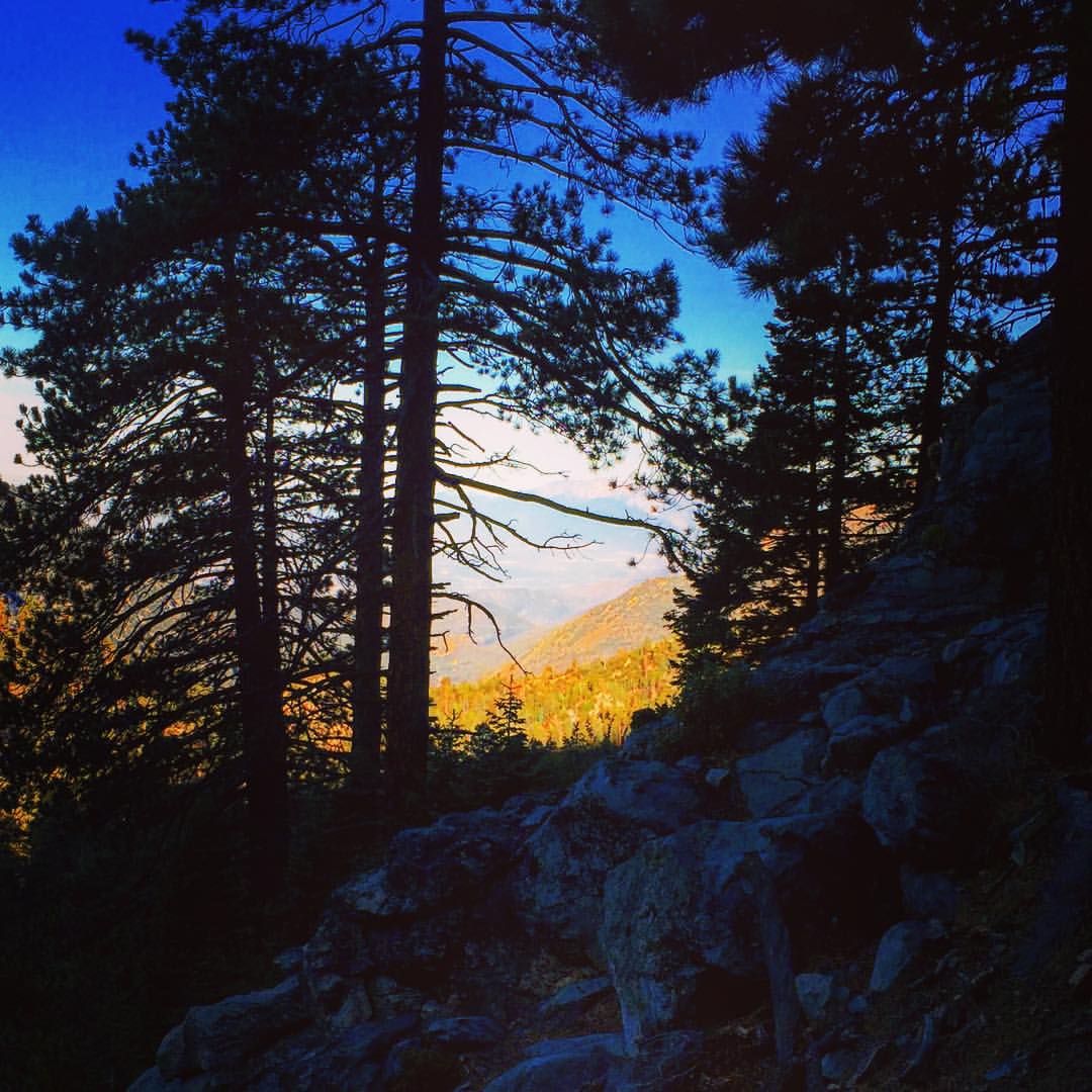
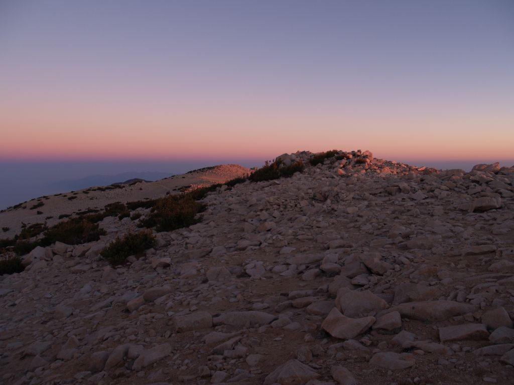
Twilight Rocks and Stream

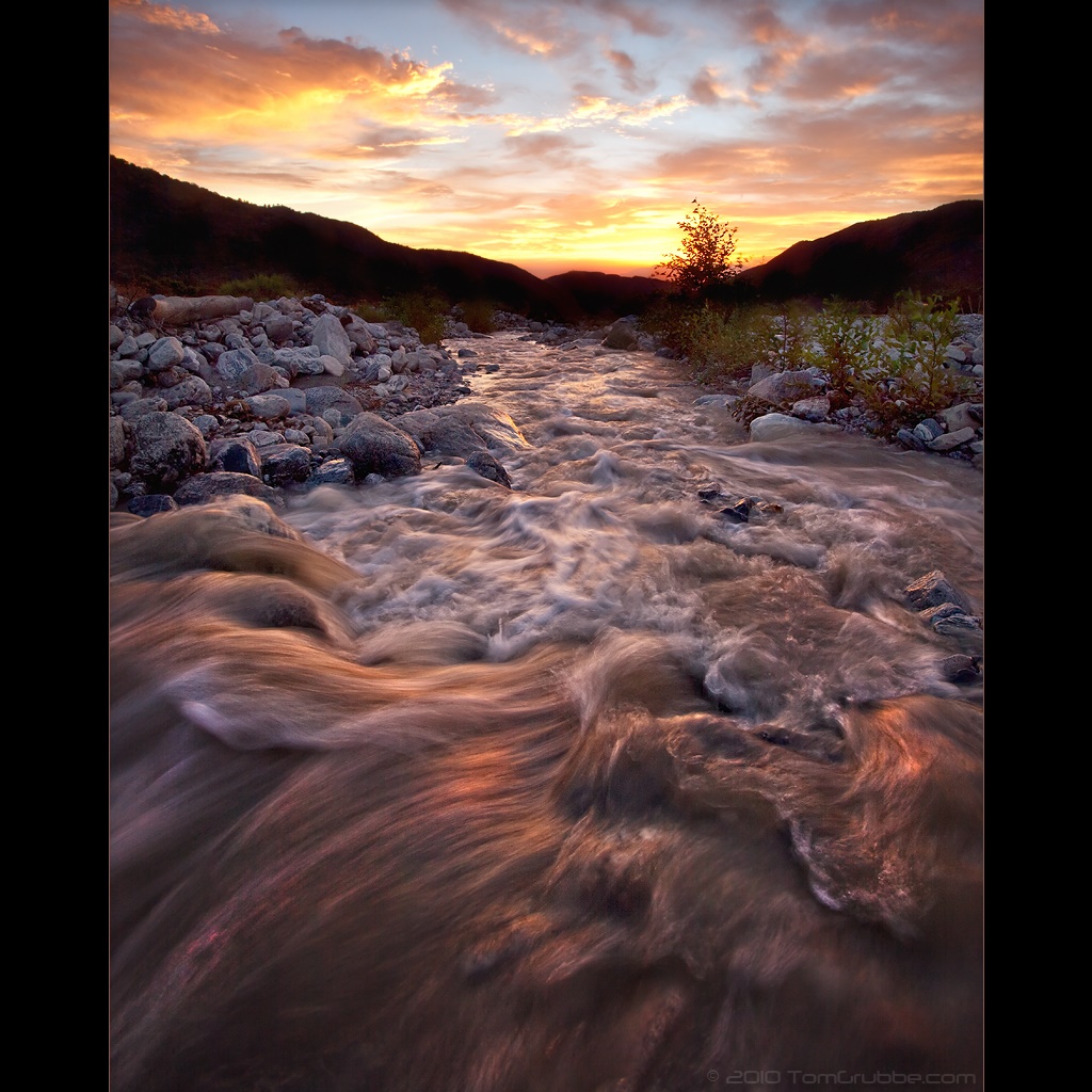
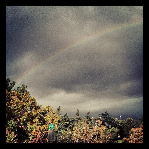
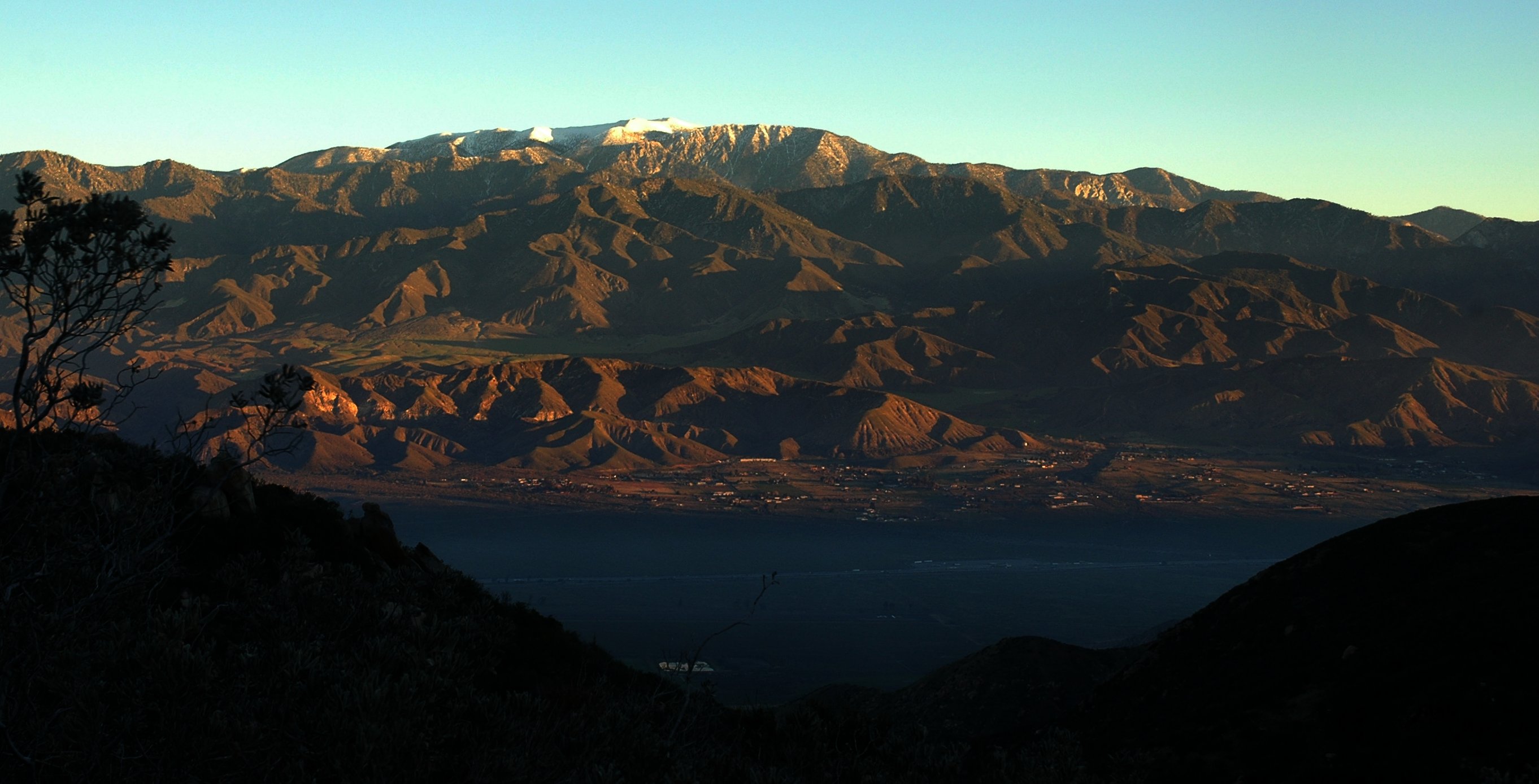
Mill Creek and Storm III

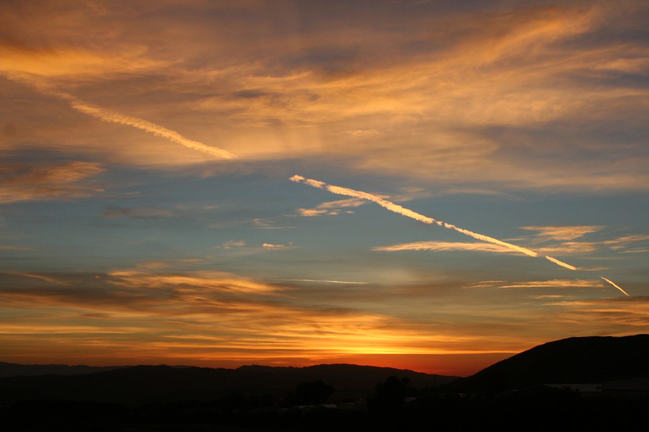
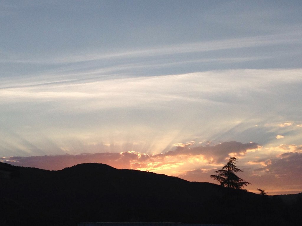
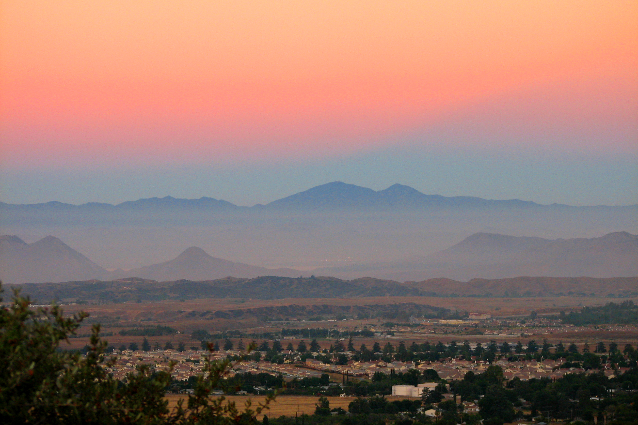
Sunset #NoFilter

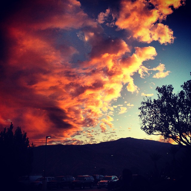
Mill Creek Storm Sunset
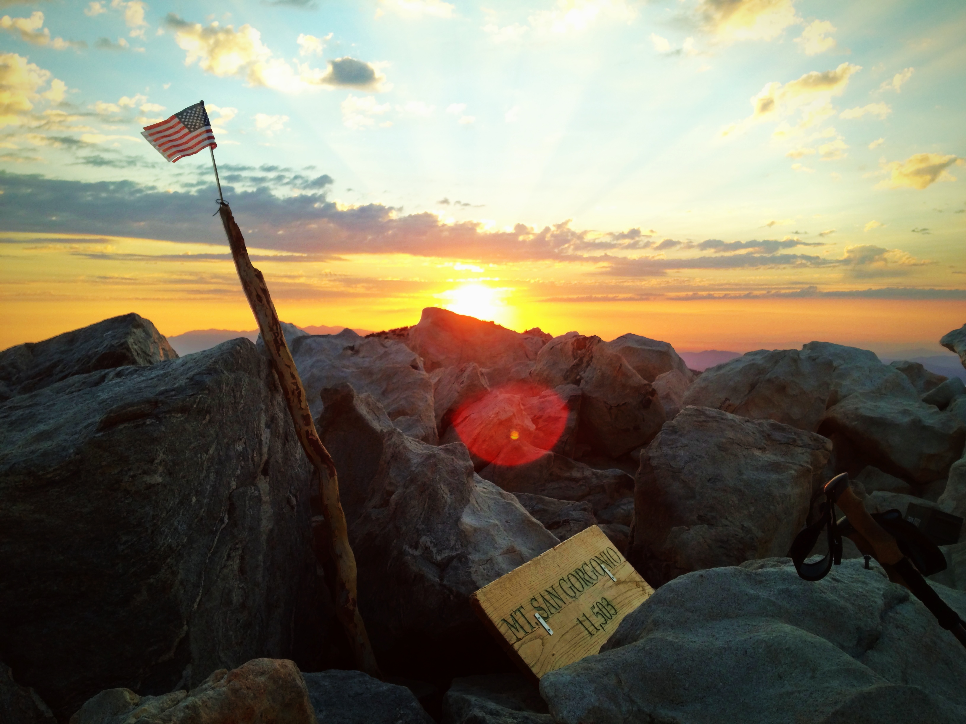
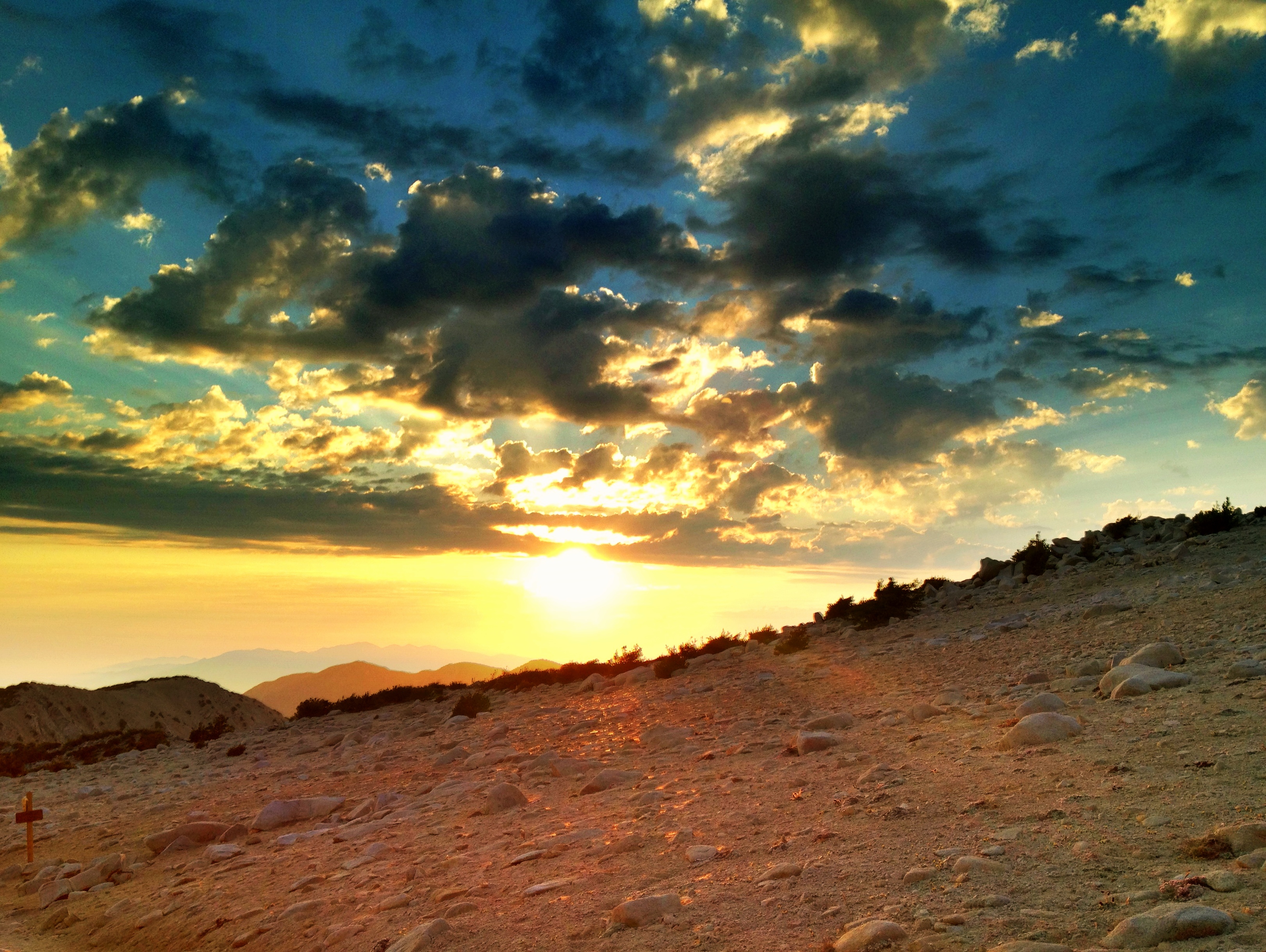
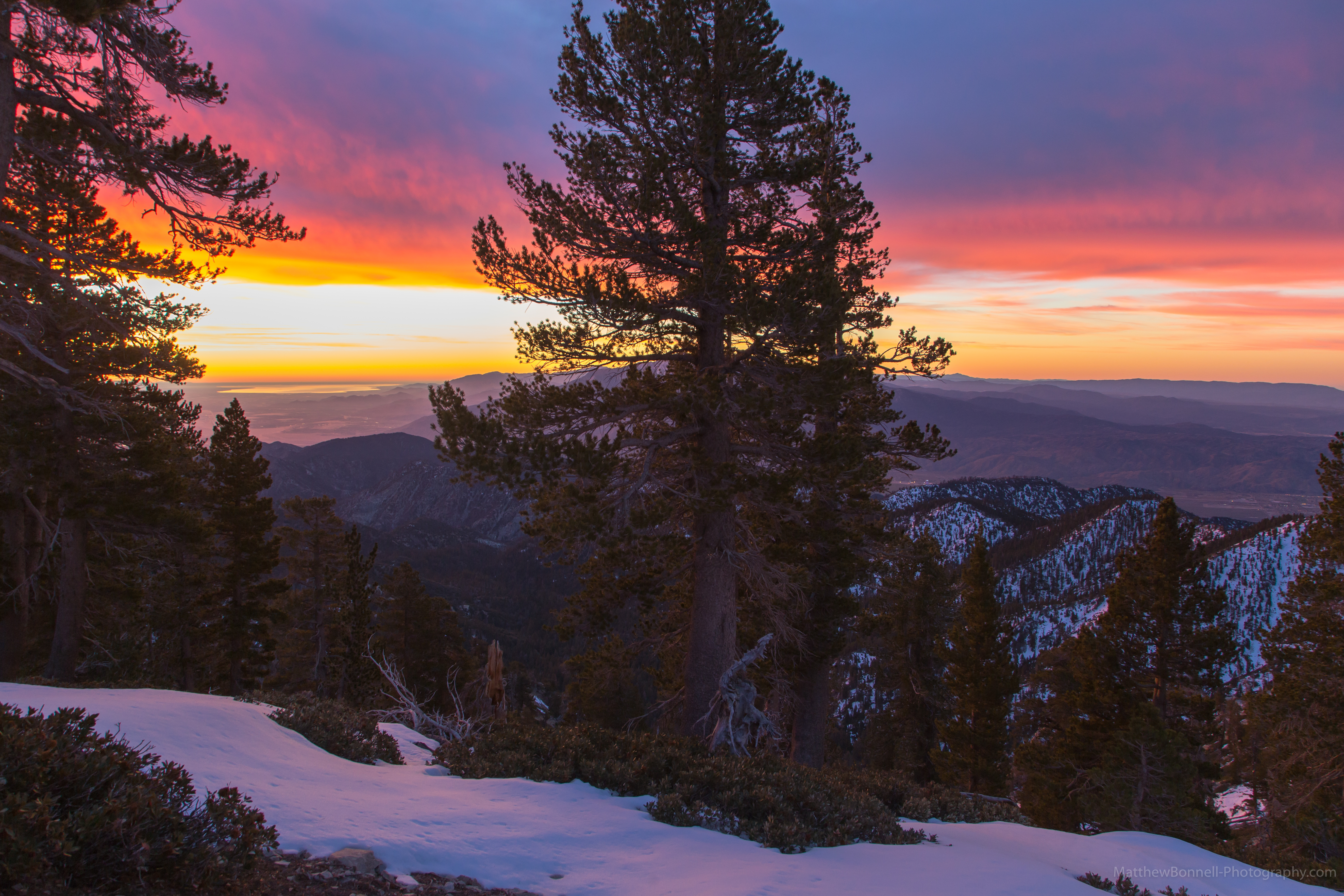
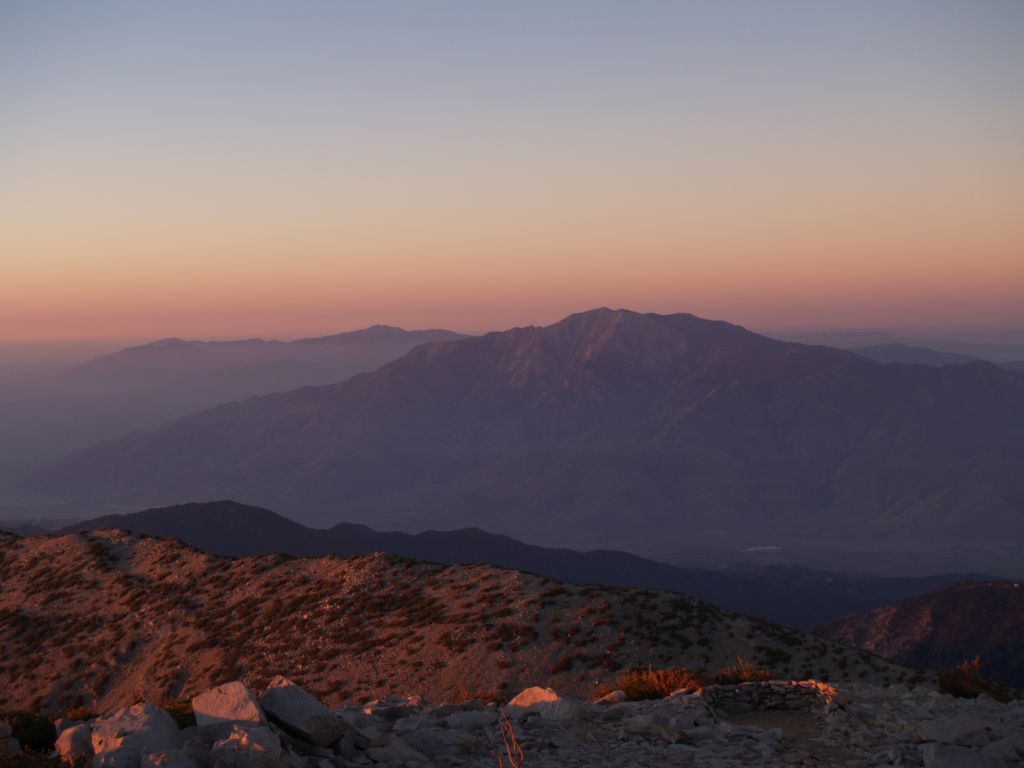
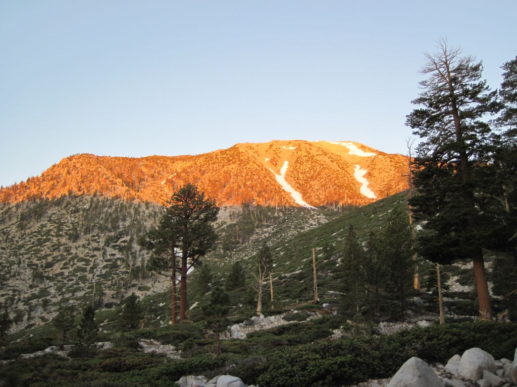
Sunset on the summit
Mill Creek Heat
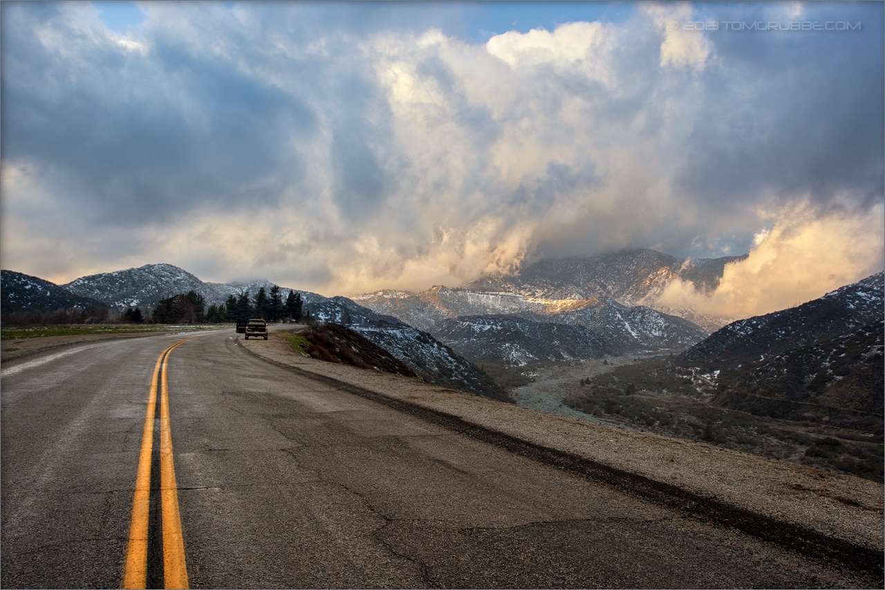
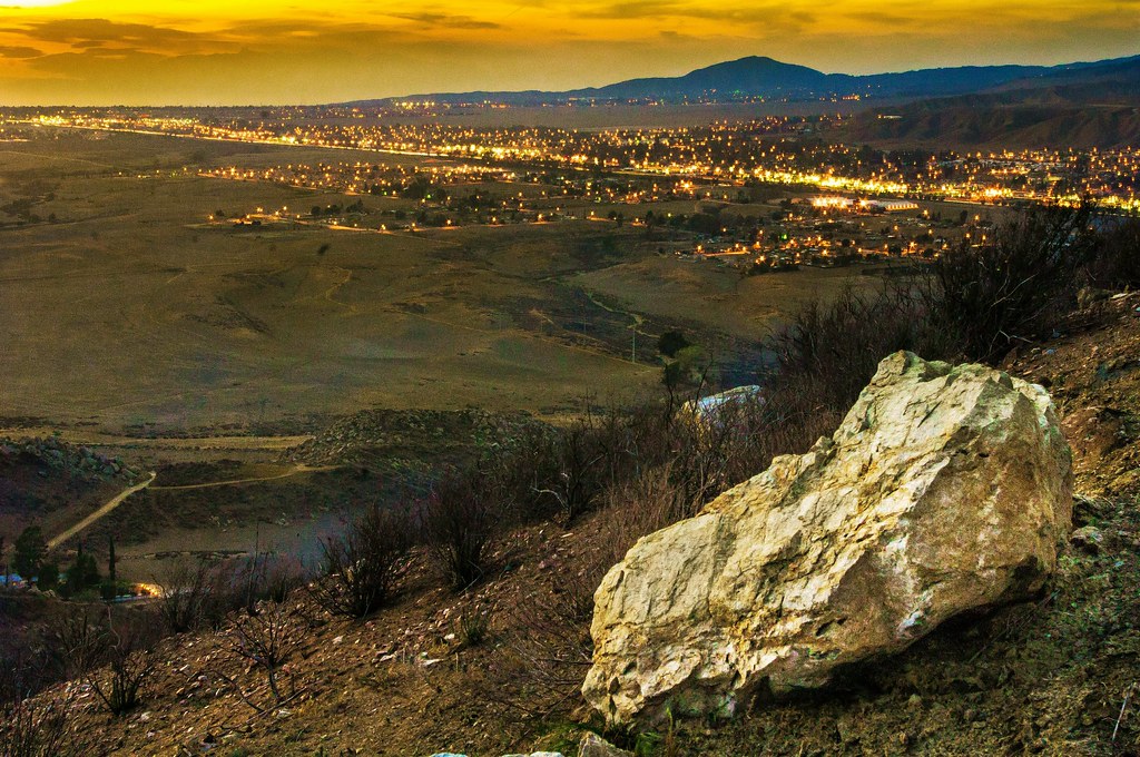
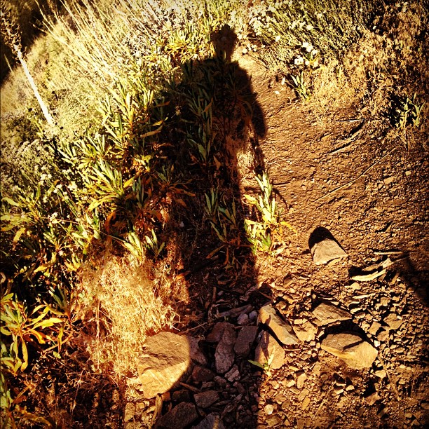
Banning Road
Nice #sunset today. #hiking #photowalkwithme

Beautiful sunset tonight
Sunset from the Sky High and San Bernadino Peak trail junction
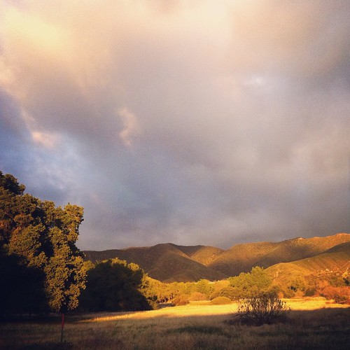
This place is a little bit like home. Oak trees and fields! #hiking #photowalkwithme
Not too intense.
Casino mission: complete ????????????
Sunset View 243
Sunset in the IE 4

Papa 011

Pre-sunset - if that's a thing
IMG_7282.jpg

Before the Creation of Man! [Explored 3.21.12]
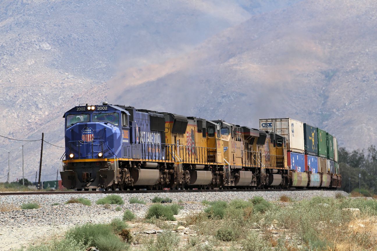
UP2002 5196 7645 3817 west bound Stack Train Cabazon 12 08 2014
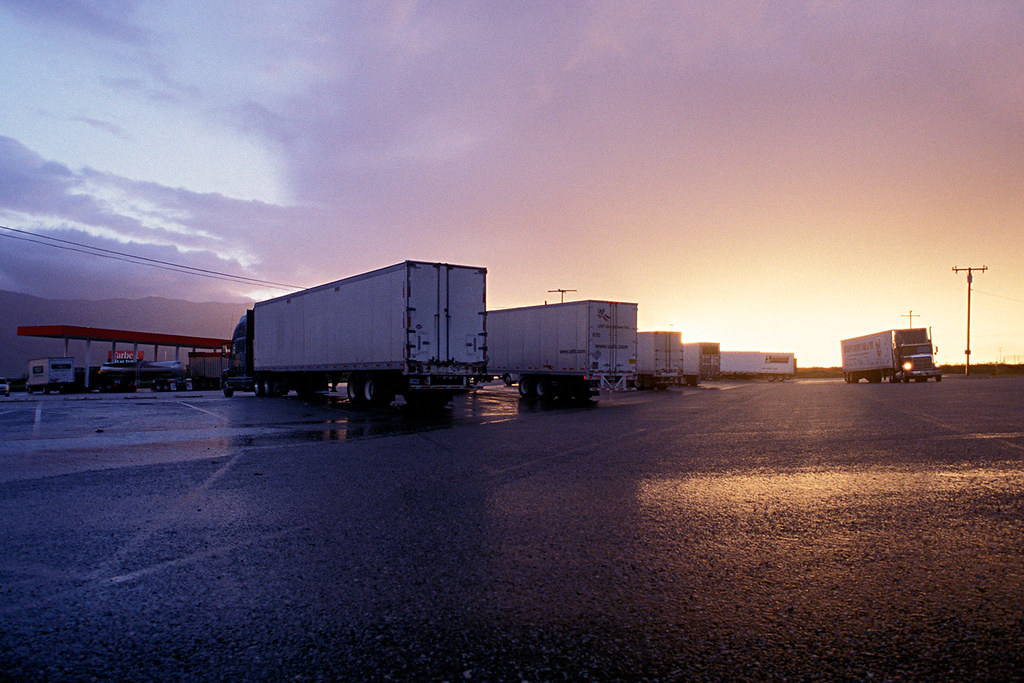
trucks with clearing storm. cabazon, ca. 2005.
Trends Gone Bad
First daylight
Morning Sunrise #MorningSunrise #Sunrise #AmateurPhotographer #AmateurPhotography #BOBthePhotography
August Sunrise
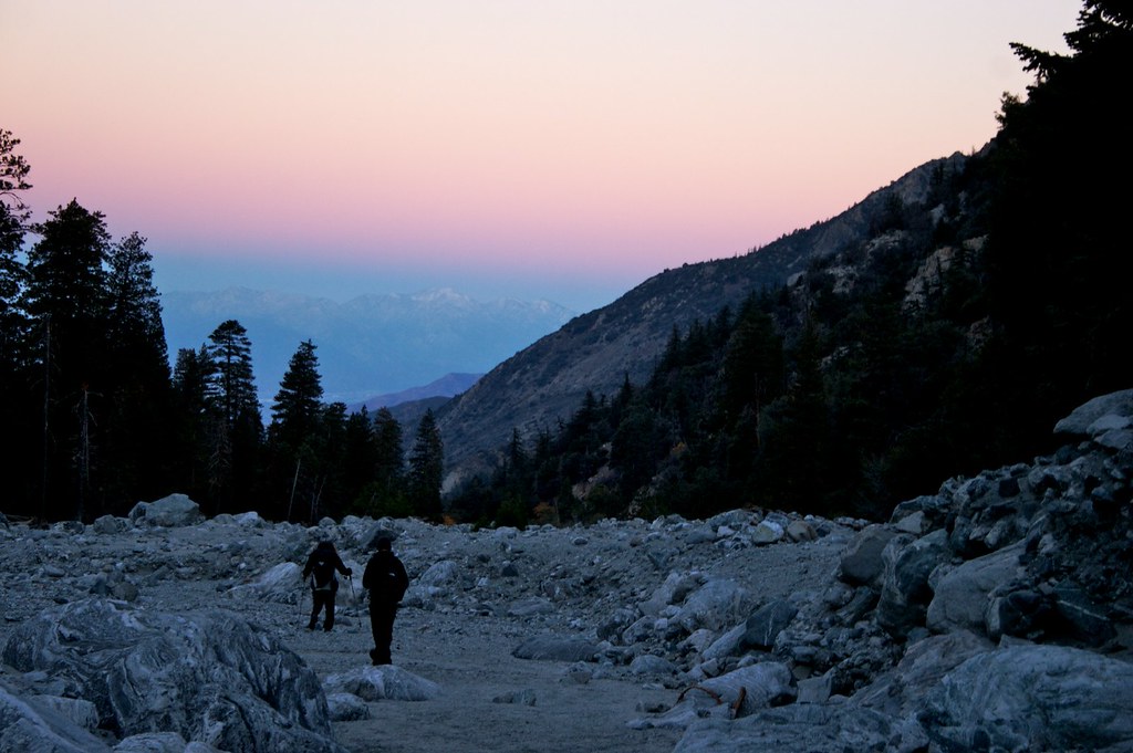
Sunrise on the Trail
#nighthike #hiking #camping #backpacking #adventure #outdoors #outdoor #nature #travel #naturalbeauty #trails #hikerchat #52HikeChallenge #trailchat #iphoneonly #awesome #sunrise #trees #silhouette #sangorgonio
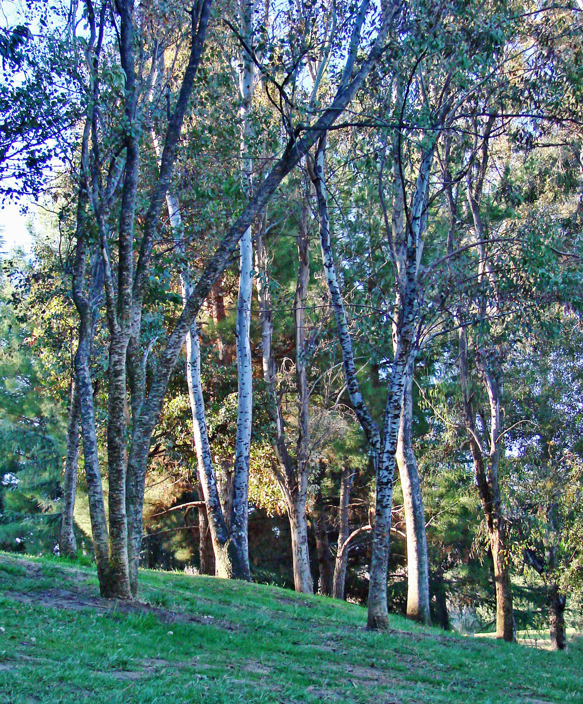
AwakeningTrees, Yucaipa, CA 3-13
morning sun feels good. #trailrunning #triathlon #training #running #swimbikerun #trails #mountains #hills #nature #outdoors #mountainrunning #instagram #sgw #momyer #iphoneonly #sunrise
Sunrise Over the Ridge
Sunrise on the I-10
Towering Storm
Before Sunrise
0750 Dawn's first light on San Jacinto Peak from the summit of San Gorgonio Mountain
Sunrise Above Banning
0744 Dawn sunbeams striking the summit of San Gorgonio Mountain
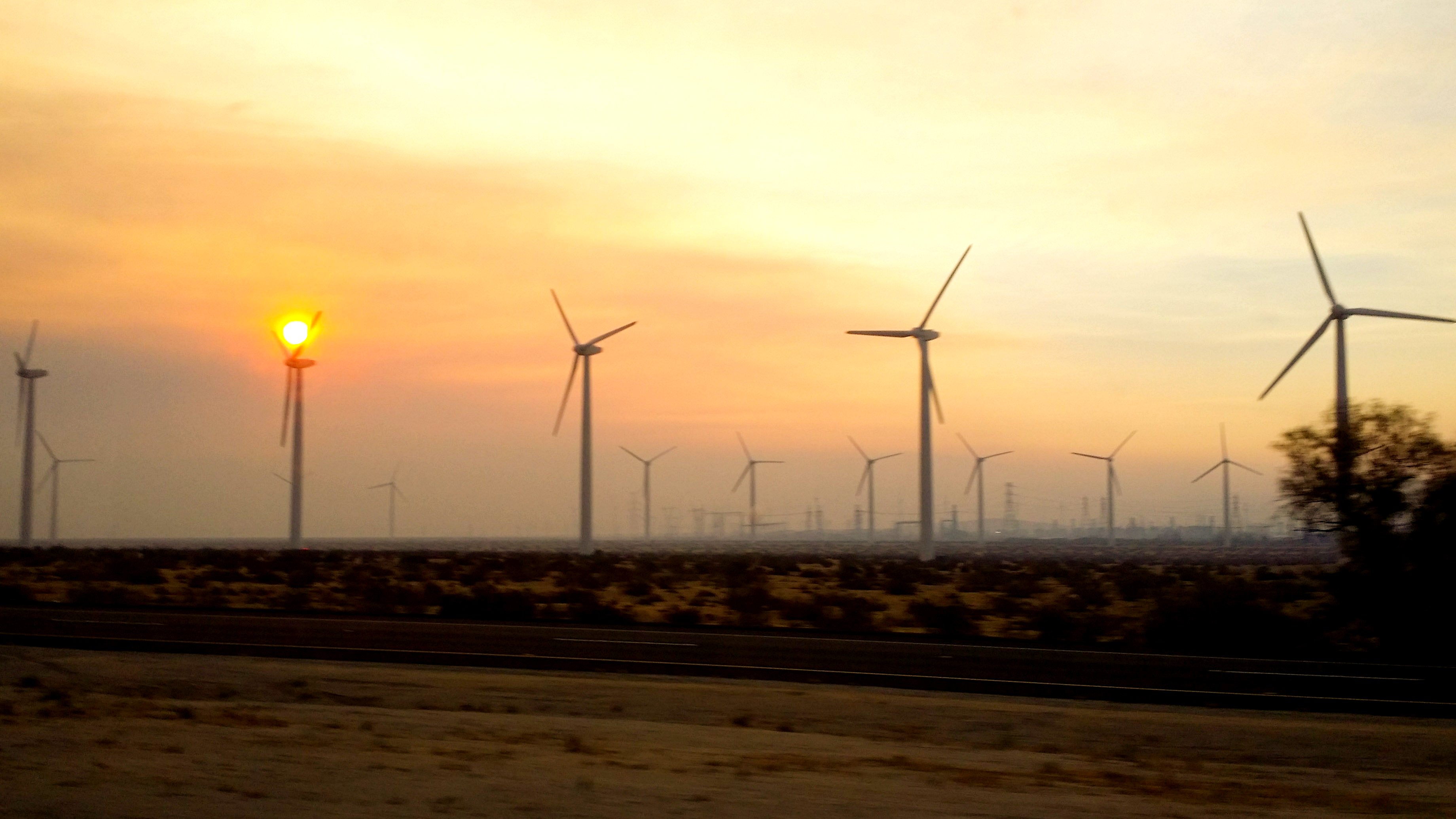
Sunrise and windmills

1524 Sunrise at Trail Fork Springs Camp
448_Mineshaft-Flat-sunrise
Bluff St, Banning, CA アメリカ合衆国の地図
別の場所を検索
近所の場所
Bluff St, Banning, CA アメリカ合衆国
Bluff St, Banning, CA アメリカ合衆国
アメリカ合衆国 〒 カリフォルニア州 バンニング・ベンチ
Bluff St, Banning, CA アメリカ合衆国
Oak Glen Rd, Oak Glen, CA アメリカ合衆国
Ute Trail, Cherry Valley, CA アメリカ合衆国
Oak Glen Rd, Yucaipa, CA アメリカ合衆国Los Rios Rancho
Camino Del Norte, Cherry Valley, CA アメリカ合衆国
Whispering Pines Rd, Cherry Valley, CA アメリカ合衆国
Oak Glen Rd, Oak Glen, CA アメリカ合衆国Serendipity Garden Weddings
Oak Glen Rd, Oak Glen, CA アメリカ合衆国
Ave Altura Bella, Cherry Valley, CA アメリカ合衆国
Dutton St, Cherry Valley, CA アメリカ合衆国
Oak Glen Rd, Yucaipa, CA アメリカ合衆国Oak Glen Christian Conference Center
Oak Glen Rd, Yucaipa, CA アメリカ合衆国
Ave Altejo Bella, Beaumont, CA アメリカ合衆国
Glen Rd, Yucaipa, CA アメリカ合衆国
アメリカ合衆国 〒 カリフォルニア州 オーク・グレン
Mockingbird Ln, Banning, CA アメリカ合衆国
アメリカ合衆国 〒 カリフォルニア州 リトル・サン・ゴーグニオ・ピーク
最近の検索
- Pu Ngaol Community Meeting Hall, HWHM+3X7, Krong Saen Monourom, Cambodia日の出日の入り時間
- batu 10, Jalan Pantai, Port Dickson, Melaka, マレーシアPantai Cermin日の出日の入り時間
- Groblershoop, 南アフリカ日の出日の入り時間
- Petriti, Greece日の出日の入り時間
- Chesaw Rd, Oroville, WA アメリカ合衆国日の出日の入り時間
- N, Mt Pleasant, UT アメリカ合衆国日の出日の入り時間
- Kawanecho Sasamado, Shimada, Shizuoka -, Japan日の出日の入り時間
- 6 Rue Jules Ferry, Beausoleil, France日の出日の入り時間
- スペイン 〒 ビスカヤ オチャンディオ日の出日の入り時間
- Sattva Horizon, 4JC6+G9P, Vinayak Nagar, Kattigenahalli, Bengaluru, Karnataka, India日の出日の入り時間