アメリカ合衆国 メリーランド州 15, インディアン・スプリング日の出日の入り時間
Location: アメリカ合衆国 > メリーランド州 > ワシントン >
時間帯:
America/New_York
現地時間:
2024-05-04 08:30:46
経度:
-77.9967043
緯度:
39.6648462
今日の日の出時刻:
06:07:49 AM
今日の日の入時刻:
08:09:34 PM
今日の日長:
14h 1m 45s
明日の日の出時刻:
06:06:40 AM
明日の日の入時刻:
08:10:33 PM
明日の日長:
14h 3m 53s
すべて表示する
| 日付 | 日出 | 日没 | 日長 |
|---|---|---|---|
| 2024年01月01日 | 07:32:47 AM | 04:58:42 PM | 9h 25m 55s |
| 2024年01月02日 | 07:32:53 AM | 04:59:32 PM | 9h 26m 39s |
| 2024年01月03日 | 07:32:56 AM | 05:00:24 PM | 9h 27m 28s |
| 2024年01月04日 | 07:32:57 AM | 05:01:18 PM | 9h 28m 21s |
| 2024年01月05日 | 07:32:56 AM | 05:02:12 PM | 9h 29m 16s |
| 2024年01月06日 | 07:32:52 AM | 05:03:08 PM | 9h 30m 16s |
| 2024年01月07日 | 07:32:47 AM | 05:04:05 PM | 9h 31m 18s |
| 2024年01月08日 | 07:32:39 AM | 05:05:04 PM | 9h 32m 25s |
| 2024年01月09日 | 07:32:29 AM | 05:06:03 PM | 9h 33m 34s |
| 2024年01月10日 | 07:32:17 AM | 05:07:04 PM | 9h 34m 47s |
| 2024年01月11日 | 07:32:03 AM | 05:08:05 PM | 9h 36m 2s |
| 2024年01月12日 | 07:31:46 AM | 05:09:08 PM | 9h 37m 22s |
| 2024年01月13日 | 07:31:27 AM | 05:10:11 PM | 9h 38m 44s |
| 2024年01月14日 | 07:31:07 AM | 05:11:15 PM | 9h 40m 8s |
| 2024年01月15日 | 07:30:44 AM | 05:12:20 PM | 9h 41m 36s |
| 2024年01月16日 | 07:30:19 AM | 05:13:26 PM | 9h 43m 7s |
| 2024年01月17日 | 07:29:52 AM | 05:14:33 PM | 9h 44m 41s |
| 2024年01月18日 | 07:29:22 AM | 05:15:40 PM | 9h 46m 18s |
| 2024年01月19日 | 07:28:51 AM | 05:16:47 PM | 9h 47m 56s |
| 2024年01月20日 | 07:28:18 AM | 05:17:56 PM | 9h 49m 38s |
| 2024年01月21日 | 07:27:42 AM | 05:19:05 PM | 9h 51m 23s |
| 2024年01月22日 | 07:27:05 AM | 05:20:14 PM | 9h 53m 9s |
| 2024年01月23日 | 07:26:26 AM | 05:21:23 PM | 9h 54m 57s |
| 2024年01月24日 | 07:25:45 AM | 05:22:33 PM | 9h 56m 48s |
| 2024年01月25日 | 07:25:02 AM | 05:23:44 PM | 9h 58m 42s |
| 2024年01月26日 | 07:24:17 AM | 05:24:54 PM | 10h 0m 37s |
| 2024年01月27日 | 07:23:30 AM | 05:26:05 PM | 10h 2m 35s |
| 2024年01月28日 | 07:22:41 AM | 05:27:16 PM | 10h 4m 35s |
| 2024年01月29日 | 07:21:51 AM | 05:28:27 PM | 10h 6m 36s |
| 2024年01月30日 | 07:20:59 AM | 05:29:39 PM | 10h 8m 40s |
| 2024年01月31日 | 07:20:05 AM | 05:30:50 PM | 10h 10m 45s |
| 2024年02月01日 | 07:19:09 AM | 05:32:01 PM | 10h 12m 52s |
| 2024年02月02日 | 07:18:12 AM | 05:33:13 PM | 10h 15m 1s |
| 2024年02月03日 | 07:17:13 AM | 05:34:24 PM | 10h 17m 11s |
| 2024年02月04日 | 07:16:13 AM | 05:35:36 PM | 10h 19m 23s |
| 2024年02月05日 | 07:15:11 AM | 05:36:47 PM | 10h 21m 36s |
| 2024年02月06日 | 07:14:08 AM | 05:37:58 PM | 10h 23m 50s |
| 2024年02月07日 | 07:13:03 AM | 05:39:09 PM | 10h 26m 6s |
| 2024年02月08日 | 07:11:56 AM | 05:40:20 PM | 10h 28m 24s |
| 2024年02月09日 | 07:10:49 AM | 05:41:31 PM | 10h 30m 42s |
| 2024年02月10日 | 07:09:39 AM | 05:42:42 PM | 10h 33m 3s |
| 2024年02月11日 | 07:08:29 AM | 05:43:52 PM | 10h 35m 23s |
| 2024年02月12日 | 07:07:17 AM | 05:45:02 PM | 10h 37m 45s |
| 2024年02月13日 | 07:06:04 AM | 05:46:12 PM | 10h 40m 8s |
| 2024年02月14日 | 07:04:50 AM | 05:47:22 PM | 10h 42m 32s |
| 2024年02月15日 | 07:03:34 AM | 05:48:32 PM | 10h 44m 58s |
| 2024年02月16日 | 07:02:17 AM | 05:49:41 PM | 10h 47m 24s |
| 2024年02月17日 | 07:01:00 AM | 05:50:50 PM | 10h 49m 50s |
| 2024年02月18日 | 06:59:41 AM | 05:51:59 PM | 10h 52m 18s |
| 2024年02月19日 | 06:58:21 AM | 05:53:07 PM | 10h 54m 46s |
| 2024年02月20日 | 06:57:00 AM | 05:54:15 PM | 10h 57m 15s |
| 2024年02月21日 | 06:55:38 AM | 05:55:23 PM | 10h 59m 45s |
| 2024年02月22日 | 06:54:15 AM | 05:56:31 PM | 11h 2m 16s |
| 2024年02月23日 | 06:52:51 AM | 05:57:38 PM | 11h 4m 47s |
| 2024年02月24日 | 06:51:26 AM | 05:58:45 PM | 11h 7m 19s |
| 2024年02月25日 | 06:50:00 AM | 05:59:52 PM | 11h 9m 52s |
| 2024年02月26日 | 06:48:34 AM | 06:00:58 PM | 11h 12m 24s |
| 2024年02月27日 | 06:47:07 AM | 06:02:04 PM | 11h 14m 57s |
| 2024年02月28日 | 06:45:39 AM | 06:03:10 PM | 11h 17m 31s |
| 2024年02月29日 | 06:44:10 AM | 06:04:15 PM | 11h 20m 5s |
| 2024年03月01日 | 06:42:40 AM | 06:05:20 PM | 11h 22m 40s |
| 2024年03月02日 | 06:41:10 AM | 06:06:25 PM | 11h 25m 15s |
| 2024年03月03日 | 06:39:40 AM | 06:07:29 PM | 11h 27m 49s |
| 2024年03月04日 | 06:38:08 AM | 06:08:34 PM | 11h 30m 26s |
| 2024年03月05日 | 06:36:37 AM | 06:09:38 PM | 11h 33m 1s |
| 2024年03月06日 | 06:35:04 AM | 06:10:41 PM | 11h 35m 37s |
| 2024年03月07日 | 06:33:31 AM | 06:11:45 PM | 11h 38m 14s |
| 2024年03月08日 | 06:31:58 AM | 06:12:48 PM | 11h 40m 50s |
| 2024年03月09日 | 06:30:24 AM | 06:13:51 PM | 11h 43m 27s |
| 2024年03月10日 | 07:28:54 AM | 07:14:51 PM | 11h 45m 57s |
| 2024年03月11日 | 07:27:19 AM | 07:15:53 PM | 11h 48m 34s |
| 2024年03月12日 | 07:25:45 AM | 07:16:55 PM | 11h 51m 10s |
| 2024年03月13日 | 07:24:09 AM | 07:17:57 PM | 11h 53m 48s |
| 2024年03月14日 | 07:22:34 AM | 07:18:59 PM | 11h 56m 25s |
| 2024年03月15日 | 07:20:58 AM | 07:20:01 PM | 11h 59m 3s |
| 2024年03月16日 | 07:19:22 AM | 07:21:02 PM | 12h 1m 40s |
| 2024年03月17日 | 07:17:46 AM | 07:22:04 PM | 12h 4m 18s |
| 2024年03月18日 | 07:16:10 AM | 07:23:05 PM | 12h 6m 55s |
| 2024年03月19日 | 07:14:34 AM | 07:24:06 PM | 12h 9m 32s |
| 2024年03月20日 | 07:12:57 AM | 07:25:06 PM | 12h 12m 9s |
| 2024年03月21日 | 07:11:21 AM | 07:26:07 PM | 12h 14m 46s |
| 2024年03月22日 | 07:09:44 AM | 07:27:08 PM | 12h 17m 24s |
| 2024年03月23日 | 07:08:08 AM | 07:28:08 PM | 12h 20m 0s |
| 2024年03月24日 | 07:06:31 AM | 07:29:08 PM | 12h 22m 37s |
| 2024年03月25日 | 07:04:55 AM | 07:30:08 PM | 12h 25m 13s |
| 2024年03月26日 | 07:03:18 AM | 07:31:09 PM | 12h 27m 51s |
| 2024年03月27日 | 07:01:42 AM | 07:32:09 PM | 12h 30m 27s |
| 2024年03月28日 | 07:00:06 AM | 07:33:09 PM | 12h 33m 3s |
| 2024年03月29日 | 06:58:30 AM | 07:34:09 PM | 12h 35m 39s |
| 2024年03月30日 | 06:56:54 AM | 07:35:09 PM | 12h 38m 15s |
| 2024年03月31日 | 06:55:19 AM | 07:36:08 PM | 12h 40m 49s |
| 2024年04月01日 | 06:53:44 AM | 07:37:08 PM | 12h 43m 24s |
| 2024年04月02日 | 06:52:09 AM | 07:38:08 PM | 12h 45m 59s |
| 2024年04月03日 | 06:50:34 AM | 07:39:08 PM | 12h 48m 34s |
| 2024年04月04日 | 06:49:00 AM | 07:40:08 PM | 12h 51m 8s |
| 2024年04月05日 | 06:47:26 AM | 07:41:08 PM | 12h 53m 42s |
| 2024年04月06日 | 06:45:53 AM | 07:42:07 PM | 12h 56m 14s |
| 2024年04月07日 | 06:44:20 AM | 07:43:07 PM | 12h 58m 47s |
| 2024年04月08日 | 06:42:47 AM | 07:44:07 PM | 13h 1m 20s |
| 2024年04月09日 | 06:41:15 AM | 07:45:07 PM | 13h 3m 52s |
| 2024年04月10日 | 06:39:44 AM | 07:46:07 PM | 13h 6m 23s |
| 2024年04月11日 | 06:38:13 AM | 07:47:07 PM | 13h 8m 54s |
| 2024年04月12日 | 06:36:43 AM | 07:48:07 PM | 13h 11m 24s |
| 2024年04月13日 | 06:35:13 AM | 07:49:06 PM | 13h 13m 53s |
| 2024年04月14日 | 06:33:45 AM | 07:50:06 PM | 13h 16m 21s |
| 2024年04月15日 | 06:32:16 AM | 07:51:06 PM | 13h 18m 50s |
| 2024年04月16日 | 06:30:49 AM | 07:52:06 PM | 13h 21m 17s |
| 2024年04月17日 | 06:29:22 AM | 07:53:07 PM | 13h 23m 45s |
| 2024年04月18日 | 06:27:56 AM | 07:54:07 PM | 13h 26m 11s |
| 2024年04月19日 | 06:26:31 AM | 07:55:07 PM | 13h 28m 36s |
| 2024年04月20日 | 06:25:07 AM | 07:56:07 PM | 13h 31m 0s |
| 2024年04月21日 | 06:23:44 AM | 07:57:07 PM | 13h 33m 23s |
| 2024年04月22日 | 06:22:21 AM | 07:58:07 PM | 13h 35m 46s |
| 2024年04月23日 | 06:21:00 AM | 07:59:07 PM | 13h 38m 7s |
| 2024年04月24日 | 06:19:39 AM | 08:00:07 PM | 13h 40m 28s |
| 2024年04月25日 | 06:18:20 AM | 08:01:07 PM | 13h 42m 47s |
| 2024年04月26日 | 06:17:01 AM | 08:02:07 PM | 13h 45m 6s |
| 2024年04月27日 | 06:15:44 AM | 08:03:07 PM | 13h 47m 23s |
| 2024年04月28日 | 06:14:27 AM | 08:04:07 PM | 13h 49m 40s |
| 2024年04月29日 | 06:13:12 AM | 08:05:07 PM | 13h 51m 55s |
| 2024年04月30日 | 06:11:58 AM | 08:06:06 PM | 13h 54m 8s |
| 2024年05月01日 | 06:10:45 AM | 08:07:06 PM | 13h 56m 21s |
| 2024年05月02日 | 06:09:34 AM | 08:08:05 PM | 13h 58m 31s |
| 2024年05月03日 | 06:08:24 AM | 08:09:05 PM | 14h 0m 41s |
| 2024年05月04日 | 06:07:15 AM | 08:10:04 PM | 14h 2m 49s |
| 2024年05月05日 | 06:06:07 AM | 08:11:03 PM | 14h 4m 56s |
| 2024年05月06日 | 06:05:00 AM | 08:12:01 PM | 14h 7m 1s |
| 2024年05月07日 | 06:03:55 AM | 08:13:00 PM | 14h 9m 5s |
| 2024年05月08日 | 06:02:52 AM | 08:13:58 PM | 14h 11m 6s |
| 2024年05月09日 | 06:01:50 AM | 08:14:56 PM | 14h 13m 6s |
| 2024年05月10日 | 06:00:49 AM | 08:15:54 PM | 14h 15m 5s |
| 2024年05月11日 | 05:59:50 AM | 08:16:51 PM | 14h 17m 1s |
| 2024年05月12日 | 05:58:52 AM | 08:17:48 PM | 14h 18m 56s |
| 2024年05月13日 | 05:57:56 AM | 08:18:44 PM | 14h 20m 48s |
| 2024年05月14日 | 05:57:02 AM | 08:19:40 PM | 14h 22m 38s |
| 2024年05月15日 | 05:56:09 AM | 08:20:36 PM | 14h 24m 27s |
| 2024年05月16日 | 05:55:17 AM | 08:21:31 PM | 14h 26m 14s |
| 2024年05月17日 | 05:54:28 AM | 08:22:25 PM | 14h 27m 57s |
| 2024年05月18日 | 05:53:40 AM | 08:23:19 PM | 14h 29m 39s |
| 2024年05月19日 | 05:52:53 AM | 08:24:13 PM | 14h 31m 20s |
| 2024年05月20日 | 05:52:09 AM | 08:25:05 PM | 14h 32m 56s |
| 2024年05月21日 | 05:51:26 AM | 08:25:57 PM | 14h 34m 31s |
| 2024年05月22日 | 05:50:45 AM | 08:26:48 PM | 14h 36m 3s |
| 2024年05月23日 | 05:50:06 AM | 08:27:39 PM | 14h 37m 33s |
| 2024年05月24日 | 05:49:28 AM | 08:28:29 PM | 14h 39m 1s |
| 2024年05月25日 | 05:48:53 AM | 08:29:17 PM | 14h 40m 24s |
| 2024年05月26日 | 05:48:19 AM | 08:30:05 PM | 14h 41m 46s |
| 2024年05月27日 | 05:47:47 AM | 08:30:52 PM | 14h 43m 5s |
| 2024年05月28日 | 05:47:17 AM | 08:31:38 PM | 14h 44m 21s |
| 2024年05月29日 | 05:46:48 AM | 08:32:23 PM | 14h 45m 35s |
| 2024年05月30日 | 05:46:22 AM | 08:33:07 PM | 14h 46m 45s |
| 2024年05月31日 | 05:45:58 AM | 08:33:50 PM | 14h 47m 52s |
| 2024年06月01日 | 05:45:35 AM | 08:34:32 PM | 14h 48m 57s |
| 2024年06月02日 | 05:45:14 AM | 08:35:13 PM | 14h 49m 59s |
| 2024年06月03日 | 05:44:56 AM | 08:35:52 PM | 14h 50m 56s |
| 2024年06月04日 | 05:44:39 AM | 08:36:30 PM | 14h 51m 51s |
| 2024年06月05日 | 05:44:24 AM | 08:37:07 PM | 14h 52m 43s |
| 2024年06月06日 | 05:44:11 AM | 08:37:42 PM | 14h 53m 31s |
| 2024年06月07日 | 05:44:00 AM | 08:38:16 PM | 14h 54m 16s |
| 2024年06月08日 | 05:43:51 AM | 08:38:49 PM | 14h 54m 58s |
| 2024年06月09日 | 05:43:44 AM | 08:39:20 PM | 14h 55m 36s |
| 2024年06月10日 | 05:43:38 AM | 08:39:50 PM | 14h 56m 12s |
| 2024年06月11日 | 05:43:35 AM | 08:40:18 PM | 14h 56m 43s |
| 2024年06月12日 | 05:43:34 AM | 08:40:45 PM | 14h 57m 11s |
| 2024年06月13日 | 05:43:34 AM | 08:41:10 PM | 14h 57m 36s |
| 2024年06月14日 | 05:43:36 AM | 08:41:33 PM | 14h 57m 57s |
| 2024年06月15日 | 05:43:40 AM | 08:41:55 PM | 14h 58m 15s |
| 2024年06月16日 | 05:43:46 AM | 08:42:15 PM | 14h 58m 29s |
| 2024年06月17日 | 05:43:54 AM | 08:42:33 PM | 14h 58m 39s |
| 2024年06月18日 | 05:44:04 AM | 08:42:50 PM | 14h 58m 46s |
| 2024年06月19日 | 05:44:15 AM | 08:43:05 PM | 14h 58m 50s |
| 2024年06月20日 | 05:44:28 AM | 08:43:18 PM | 14h 58m 50s |
| 2024年06月21日 | 05:44:43 AM | 08:43:29 PM | 14h 58m 46s |
| 2024年06月22日 | 05:44:59 AM | 08:43:38 PM | 14h 58m 39s |
| 2024年06月23日 | 05:45:18 AM | 08:43:46 PM | 14h 58m 28s |
| 2024年06月24日 | 05:45:38 AM | 08:43:51 PM | 14h 58m 13s |
| 2024年06月25日 | 05:45:59 AM | 08:43:55 PM | 14h 57m 56s |
| 2024年06月26日 | 05:46:22 AM | 08:43:57 PM | 14h 57m 35s |
| 2024年06月27日 | 05:46:47 AM | 08:43:57 PM | 14h 57m 10s |
| 2024年06月28日 | 05:47:13 AM | 08:43:55 PM | 14h 56m 42s |
| 2024年06月29日 | 05:47:41 AM | 08:43:51 PM | 14h 56m 10s |
| 2024年06月30日 | 05:48:10 AM | 08:43:45 PM | 14h 55m 35s |
| 2024年07月01日 | 05:48:40 AM | 08:43:37 PM | 14h 54m 57s |
| 2024年07月02日 | 05:49:12 AM | 08:43:27 PM | 14h 54m 15s |
| 2024年07月03日 | 05:49:45 AM | 08:43:15 PM | 14h 53m 30s |
| 2024年07月04日 | 05:50:20 AM | 08:43:01 PM | 14h 52m 41s |
| 2024年07月05日 | 05:50:56 AM | 08:42:46 PM | 14h 51m 50s |
| 2024年07月06日 | 05:51:33 AM | 08:42:28 PM | 14h 50m 55s |
| 2024年07月07日 | 05:52:11 AM | 08:42:08 PM | 14h 49m 57s |
| 2024年07月08日 | 05:52:50 AM | 08:41:47 PM | 14h 48m 57s |
| 2024年07月09日 | 05:53:30 AM | 08:41:23 PM | 14h 47m 53s |
| 2024年07月10日 | 05:54:12 AM | 08:40:57 PM | 14h 46m 45s |
| 2024年07月11日 | 05:54:54 AM | 08:40:30 PM | 14h 45m 36s |
| 2024年07月12日 | 05:55:38 AM | 08:40:01 PM | 14h 44m 23s |
| 2024年07月13日 | 05:56:22 AM | 08:39:29 PM | 14h 43m 7s |
| 2024年07月14日 | 05:57:07 AM | 08:38:56 PM | 14h 41m 49s |
| 2024年07月15日 | 05:57:54 AM | 08:38:21 PM | 14h 40m 27s |
| 2024年07月16日 | 05:58:41 AM | 08:37:44 PM | 14h 39m 3s |
| 2024年07月17日 | 05:59:28 AM | 08:37:05 PM | 14h 37m 37s |
| 2024年07月18日 | 06:00:17 AM | 08:36:25 PM | 14h 36m 8s |
| 2024年07月19日 | 06:01:06 AM | 08:35:42 PM | 14h 34m 36s |
| 2024年07月20日 | 06:01:56 AM | 08:34:58 PM | 14h 33m 2s |
| 2024年07月21日 | 06:02:46 AM | 08:34:12 PM | 14h 31m 26s |
| 2024年07月22日 | 06:03:37 AM | 08:33:25 PM | 14h 29m 48s |
| 2024年07月23日 | 06:04:28 AM | 08:32:35 PM | 14h 28m 7s |
| 2024年07月24日 | 06:05:20 AM | 08:31:44 PM | 14h 26m 24s |
| 2024年07月25日 | 06:06:13 AM | 08:30:52 PM | 14h 24m 39s |
| 2024年07月26日 | 06:07:06 AM | 08:29:57 PM | 14h 22m 51s |
| 2024年07月27日 | 06:07:59 AM | 08:29:01 PM | 14h 21m 2s |
| 2024年07月28日 | 06:08:53 AM | 08:28:04 PM | 14h 19m 11s |
| 2024年07月29日 | 06:09:47 AM | 08:27:04 PM | 14h 17m 17s |
| 2024年07月30日 | 06:10:41 AM | 08:26:04 PM | 14h 15m 23s |
| 2024年07月31日 | 06:11:36 AM | 08:25:02 PM | 14h 13m 26s |
| 2024年08月01日 | 06:12:31 AM | 08:23:58 PM | 14h 11m 27s |
| 2024年08月02日 | 06:13:26 AM | 08:22:53 PM | 14h 9m 27s |
| 2024年08月03日 | 06:14:21 AM | 08:21:46 PM | 14h 7m 25s |
| 2024年08月04日 | 06:15:17 AM | 08:20:39 PM | 14h 5m 22s |
| 2024年08月05日 | 06:16:13 AM | 08:19:29 PM | 14h 3m 16s |
| 2024年08月06日 | 06:17:08 AM | 08:18:19 PM | 14h 1m 11s |
| 2024年08月07日 | 06:18:04 AM | 08:17:07 PM | 13h 59m 3s |
| 2024年08月08日 | 06:19:00 AM | 08:15:54 PM | 13h 56m 54s |
| 2024年08月09日 | 06:19:57 AM | 08:14:39 PM | 13h 54m 42s |
| 2024年08月10日 | 06:20:53 AM | 08:13:24 PM | 13h 52m 31s |
| 2024年08月11日 | 06:21:49 AM | 08:12:07 PM | 13h 50m 18s |
| 2024年08月12日 | 06:22:45 AM | 08:10:49 PM | 13h 48m 4s |
| 2024年08月13日 | 06:23:42 AM | 08:09:30 PM | 13h 45m 48s |
| 2024年08月14日 | 06:24:38 AM | 08:08:10 PM | 13h 43m 32s |
| 2024年08月15日 | 06:25:34 AM | 08:06:49 PM | 13h 41m 15s |
| 2024年08月16日 | 06:26:31 AM | 08:05:27 PM | 13h 38m 56s |
| 2024年08月17日 | 06:27:27 AM | 08:04:04 PM | 13h 36m 37s |
| 2024年08月18日 | 06:28:23 AM | 08:02:40 PM | 13h 34m 17s |
| 2024年08月19日 | 06:29:20 AM | 08:01:15 PM | 13h 31m 55s |
| 2024年08月20日 | 06:30:16 AM | 07:59:49 PM | 13h 29m 33s |
| 2024年08月21日 | 06:31:12 AM | 07:58:22 PM | 13h 27m 10s |
| 2024年08月22日 | 06:32:08 AM | 07:56:54 PM | 13h 24m 46s |
| 2024年08月23日 | 06:33:04 AM | 07:55:26 PM | 13h 22m 22s |
| 2024年08月24日 | 06:34:00 AM | 07:53:57 PM | 13h 19m 57s |
| 2024年08月25日 | 06:34:56 AM | 07:52:27 PM | 13h 17m 31s |
| 2024年08月26日 | 06:35:52 AM | 07:50:56 PM | 13h 15m 4s |
| 2024年08月27日 | 06:36:48 AM | 07:49:25 PM | 13h 12m 37s |
| 2024年08月28日 | 06:37:43 AM | 07:47:53 PM | 13h 10m 10s |
| 2024年08月29日 | 06:38:39 AM | 07:46:20 PM | 13h 7m 41s |
| 2024年08月30日 | 06:39:35 AM | 07:44:47 PM | 13h 5m 12s |
| 2024年08月31日 | 06:40:30 AM | 07:43:13 PM | 13h 2m 43s |
| 2024年09月01日 | 06:41:26 AM | 07:41:39 PM | 13h 0m 13s |
| 2024年09月02日 | 06:42:21 AM | 07:40:04 PM | 12h 57m 43s |
| 2024年09月03日 | 06:43:17 AM | 07:38:29 PM | 12h 55m 12s |
| 2024年09月04日 | 06:44:12 AM | 07:36:53 PM | 12h 52m 41s |
| 2024年09月05日 | 06:45:08 AM | 07:35:17 PM | 12h 50m 9s |
| 2024年09月06日 | 06:46:03 AM | 07:33:41 PM | 12h 47m 38s |
| 2024年09月07日 | 06:46:59 AM | 07:32:04 PM | 12h 45m 5s |
| 2024年09月08日 | 06:47:54 AM | 07:30:27 PM | 12h 42m 33s |
| 2024年09月09日 | 06:48:49 AM | 07:28:50 PM | 12h 40m 1s |
| 2024年09月10日 | 06:49:45 AM | 07:27:12 PM | 12h 37m 27s |
| 2024年09月11日 | 06:50:40 AM | 07:25:34 PM | 12h 34m 54s |
| 2024年09月12日 | 06:51:36 AM | 07:23:56 PM | 12h 32m 20s |
| 2024年09月13日 | 06:52:31 AM | 07:22:18 PM | 12h 29m 47s |
| 2024年09月14日 | 06:53:27 AM | 07:20:39 PM | 12h 27m 12s |
| 2024年09月15日 | 06:54:22 AM | 07:19:01 PM | 12h 24m 39s |
| 2024年09月16日 | 06:55:18 AM | 07:17:22 PM | 12h 22m 4s |
| 2024年09月17日 | 06:56:14 AM | 07:15:43 PM | 12h 19m 29s |
| 2024年09月18日 | 06:57:10 AM | 07:14:05 PM | 12h 16m 55s |
| 2024年09月19日 | 06:58:06 AM | 07:12:26 PM | 12h 14m 20s |
| 2024年09月20日 | 06:59:02 AM | 07:10:47 PM | 12h 11m 45s |
| 2024年09月21日 | 06:59:58 AM | 07:09:09 PM | 12h 9m 11s |
| 2024年09月22日 | 07:00:55 AM | 07:07:30 PM | 12h 6m 35s |
| 2024年09月23日 | 07:01:51 AM | 07:05:52 PM | 12h 4m 1s |
| 2024年09月24日 | 07:02:48 AM | 07:04:14 PM | 12h 1m 26s |
| 2024年09月25日 | 07:03:45 AM | 07:02:36 PM | 11h 58m 51s |
| 2024年09月26日 | 07:04:42 AM | 07:00:58 PM | 11h 56m 16s |
| 2024年09月27日 | 07:05:39 AM | 06:59:20 PM | 11h 53m 41s |
| 2024年09月28日 | 07:06:37 AM | 06:57:43 PM | 11h 51m 6s |
| 2024年09月29日 | 07:07:34 AM | 06:56:06 PM | 11h 48m 32s |
| 2024年09月30日 | 07:08:32 AM | 06:54:29 PM | 11h 45m 57s |
| 2024年10月01日 | 07:09:30 AM | 06:52:53 PM | 11h 43m 23s |
| 2024年10月02日 | 07:10:29 AM | 06:51:17 PM | 11h 40m 48s |
| 2024年10月03日 | 07:11:27 AM | 06:49:42 PM | 11h 38m 15s |
| 2024年10月04日 | 07:12:26 AM | 06:48:07 PM | 11h 35m 41s |
| 2024年10月05日 | 07:13:25 AM | 06:46:32 PM | 11h 33m 7s |
| 2024年10月06日 | 07:14:25 AM | 06:44:58 PM | 11h 30m 33s |
| 2024年10月07日 | 07:15:25 AM | 06:43:25 PM | 11h 28m 0s |
| 2024年10月08日 | 07:16:25 AM | 06:41:52 PM | 11h 25m 27s |
| 2024年10月09日 | 07:17:25 AM | 06:40:19 PM | 11h 22m 54s |
| 2024年10月10日 | 07:18:26 AM | 06:38:48 PM | 11h 20m 22s |
| 2024年10月11日 | 07:19:27 AM | 06:37:17 PM | 11h 17m 50s |
| 2024年10月12日 | 07:20:28 AM | 06:35:47 PM | 11h 15m 19s |
| 2024年10月13日 | 07:21:30 AM | 06:34:17 PM | 11h 12m 47s |
| 2024年10月14日 | 07:22:32 AM | 06:32:48 PM | 11h 10m 16s |
| 2024年10月15日 | 07:23:34 AM | 06:31:20 PM | 11h 7m 46s |
| 2024年10月16日 | 07:24:37 AM | 06:29:53 PM | 11h 5m 16s |
| 2024年10月17日 | 07:25:40 AM | 06:28:27 PM | 11h 2m 47s |
| 2024年10月18日 | 07:26:43 AM | 06:27:02 PM | 11h 0m 19s |
| 2024年10月19日 | 07:27:47 AM | 06:25:38 PM | 10h 57m 51s |
| 2024年10月20日 | 07:28:51 AM | 06:24:14 PM | 10h 55m 23s |
| 2024年10月21日 | 07:29:55 AM | 06:22:52 PM | 10h 52m 57s |
| 2024年10月22日 | 07:31:00 AM | 06:21:31 PM | 10h 50m 31s |
| 2024年10月23日 | 07:32:05 AM | 06:20:10 PM | 10h 48m 5s |
| 2024年10月24日 | 07:33:10 AM | 06:18:51 PM | 10h 45m 41s |
| 2024年10月25日 | 07:34:15 AM | 06:17:33 PM | 10h 43m 18s |
| 2024年10月26日 | 07:35:21 AM | 06:16:17 PM | 10h 40m 56s |
| 2024年10月27日 | 07:36:27 AM | 06:15:01 PM | 10h 38m 34s |
| 2024年10月28日 | 07:37:34 AM | 06:13:47 PM | 10h 36m 13s |
| 2024年10月29日 | 07:38:40 AM | 06:12:34 PM | 10h 33m 54s |
| 2024年10月30日 | 07:39:47 AM | 06:11:22 PM | 10h 31m 35s |
| 2024年10月31日 | 07:40:54 AM | 06:10:12 PM | 10h 29m 18s |
| 2024年11月01日 | 07:42:02 AM | 06:09:03 PM | 10h 27m 1s |
| 2024年11月02日 | 07:43:09 AM | 06:07:55 PM | 10h 24m 46s |
| 2024年11月03日 | 06:44:20 AM | 05:06:47 PM | 10h 22m 27s |
| 2024年11月04日 | 06:45:28 AM | 05:05:42 PM | 10h 20m 14s |
| 2024年11月05日 | 06:46:36 AM | 05:04:39 PM | 10h 18m 3s |
| 2024年11月06日 | 06:47:44 AM | 05:03:38 PM | 10h 15m 54s |
| 2024年11月07日 | 06:48:52 AM | 05:02:38 PM | 10h 13m 46s |
| 2024年11月08日 | 06:50:00 AM | 05:01:40 PM | 10h 11m 40s |
| 2024年11月09日 | 06:51:08 AM | 05:00:44 PM | 10h 9m 36s |
| 2024年11月10日 | 06:52:17 AM | 04:59:49 PM | 10h 7m 32s |
| 2024年11月11日 | 06:53:25 AM | 04:58:56 PM | 10h 5m 31s |
| 2024年11月12日 | 06:54:33 AM | 04:58:05 PM | 10h 3m 32s |
| 2024年11月13日 | 06:55:41 AM | 04:57:15 PM | 10h 1m 34s |
| 2024年11月14日 | 06:56:49 AM | 04:56:28 PM | 9h 59m 39s |
| 2024年11月15日 | 06:57:57 AM | 04:55:42 PM | 9h 57m 45s |
| 2024年11月16日 | 06:59:04 AM | 04:54:58 PM | 9h 55m 54s |
| 2024年11月17日 | 07:00:11 AM | 04:54:16 PM | 9h 54m 5s |
| 2024年11月18日 | 07:01:18 AM | 04:53:36 PM | 9h 52m 18s |
| 2024年11月19日 | 07:02:25 AM | 04:52:58 PM | 9h 50m 33s |
| 2024年11月20日 | 07:03:31 AM | 04:52:22 PM | 9h 48m 51s |
| 2024年11月21日 | 07:04:37 AM | 04:51:48 PM | 9h 47m 11s |
| 2024年11月22日 | 07:05:42 AM | 04:51:17 PM | 9h 45m 35s |
| 2024年11月23日 | 07:06:47 AM | 04:50:47 PM | 9h 44m 0s |
| 2024年11月24日 | 07:07:51 AM | 04:50:19 PM | 9h 42m 28s |
| 2024年11月25日 | 07:08:54 AM | 04:49:53 PM | 9h 40m 59s |
| 2024年11月26日 | 07:09:57 AM | 04:49:30 PM | 9h 39m 33s |
| 2024年11月27日 | 07:10:59 AM | 04:49:09 PM | 9h 38m 10s |
| 2024年11月28日 | 07:12:00 AM | 04:48:50 PM | 9h 36m 50s |
| 2024年11月29日 | 07:13:01 AM | 04:48:33 PM | 9h 35m 32s |
| 2024年11月30日 | 07:14:00 AM | 04:48:18 PM | 9h 34m 18s |
| 2024年12月01日 | 07:14:59 AM | 04:48:06 PM | 9h 33m 7s |
| 2024年12月02日 | 07:15:57 AM | 04:47:55 PM | 9h 31m 58s |
| 2024年12月03日 | 07:16:53 AM | 04:47:47 PM | 9h 30m 54s |
| 2024年12月04日 | 07:17:48 AM | 04:47:42 PM | 9h 29m 54s |
| 2024年12月05日 | 07:18:43 AM | 04:47:38 PM | 9h 28m 55s |
| 2024年12月06日 | 07:19:36 AM | 04:47:37 PM | 9h 28m 1s |
| 2024年12月07日 | 07:20:27 AM | 04:47:38 PM | 9h 27m 11s |
| 2024年12月08日 | 07:21:18 AM | 04:47:41 PM | 9h 26m 23s |
| 2024年12月09日 | 07:22:07 AM | 04:47:46 PM | 9h 25m 39s |
| 2024年12月10日 | 07:22:55 AM | 04:47:54 PM | 9h 24m 59s |
| 2024年12月11日 | 07:23:41 AM | 04:48:04 PM | 9h 24m 23s |
| 2024年12月12日 | 07:24:25 AM | 04:48:16 PM | 9h 23m 51s |
| 2024年12月13日 | 07:25:08 AM | 04:48:30 PM | 9h 23m 22s |
| 2024年12月14日 | 07:25:50 AM | 04:48:46 PM | 9h 22m 56s |
| 2024年12月15日 | 07:26:29 AM | 04:49:05 PM | 9h 22m 36s |
| 2024年12月16日 | 07:27:07 AM | 04:49:26 PM | 9h 22m 19s |
| 2024年12月17日 | 07:27:43 AM | 04:49:48 PM | 9h 22m 5s |
| 2024年12月18日 | 07:28:18 AM | 04:50:13 PM | 9h 21m 55s |
| 2024年12月19日 | 07:28:50 AM | 04:50:40 PM | 9h 21m 50s |
| 2024年12月20日 | 07:29:21 AM | 04:51:09 PM | 9h 21m 48s |
| 2024年12月21日 | 07:29:50 AM | 04:51:40 PM | 9h 21m 50s |
| 2024年12月22日 | 07:30:17 AM | 04:52:13 PM | 9h 21m 56s |
| 2024年12月23日 | 07:30:42 AM | 04:52:48 PM | 9h 22m 6s |
| 2024年12月24日 | 07:31:04 AM | 04:53:24 PM | 9h 22m 20s |
| 2024年12月25日 | 07:31:25 AM | 04:54:03 PM | 9h 22m 38s |
| 2024年12月26日 | 07:31:44 AM | 04:54:43 PM | 9h 22m 59s |
| 2024年12月27日 | 07:32:00 AM | 04:55:25 PM | 9h 23m 25s |
| 2024年12月28日 | 07:32:15 AM | 04:56:09 PM | 9h 23m 54s |
| 2024年12月29日 | 07:32:27 AM | 04:56:54 PM | 9h 24m 27s |
| 2024年12月30日 | 07:32:38 AM | 04:57:41 PM | 9h 25m 3s |
写真

Blair's Valley Lake - 2014-10-23 (16)
Anyone Need A Light?
CB2009-02

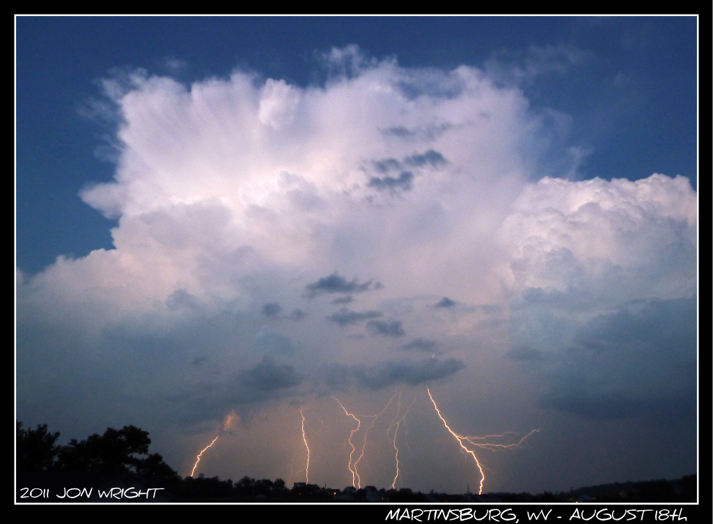
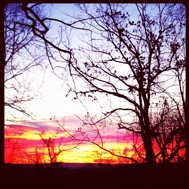
#sunset over spring mills, wv

Blair's Valley Lake - 2014-10-23 (47)
Highway Sunset 2 #SUNspotters

Blair's Valley Lake - 2014-10-23 (57)
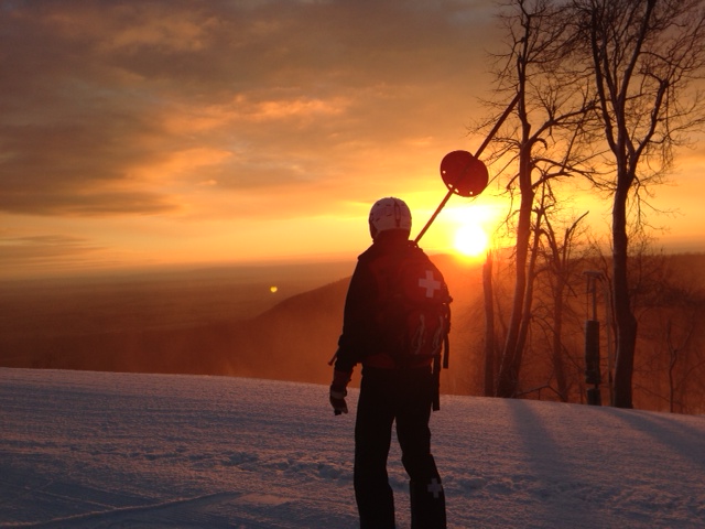
Morning Opening Whitetail Ski Resort_Pa
Sun Rise

Blair's Valley Lake - 2014-10-23 (8)
Remains of the Day
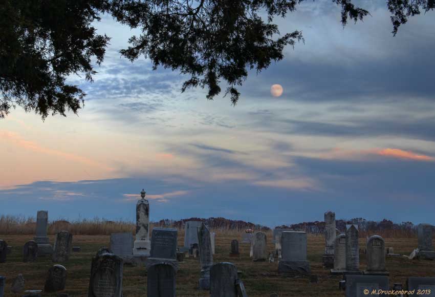
The Mount Tabor Church Graveyard at sunset

Potomac Park , Williamsport MD by River @ Sunset

The fog crept over the land
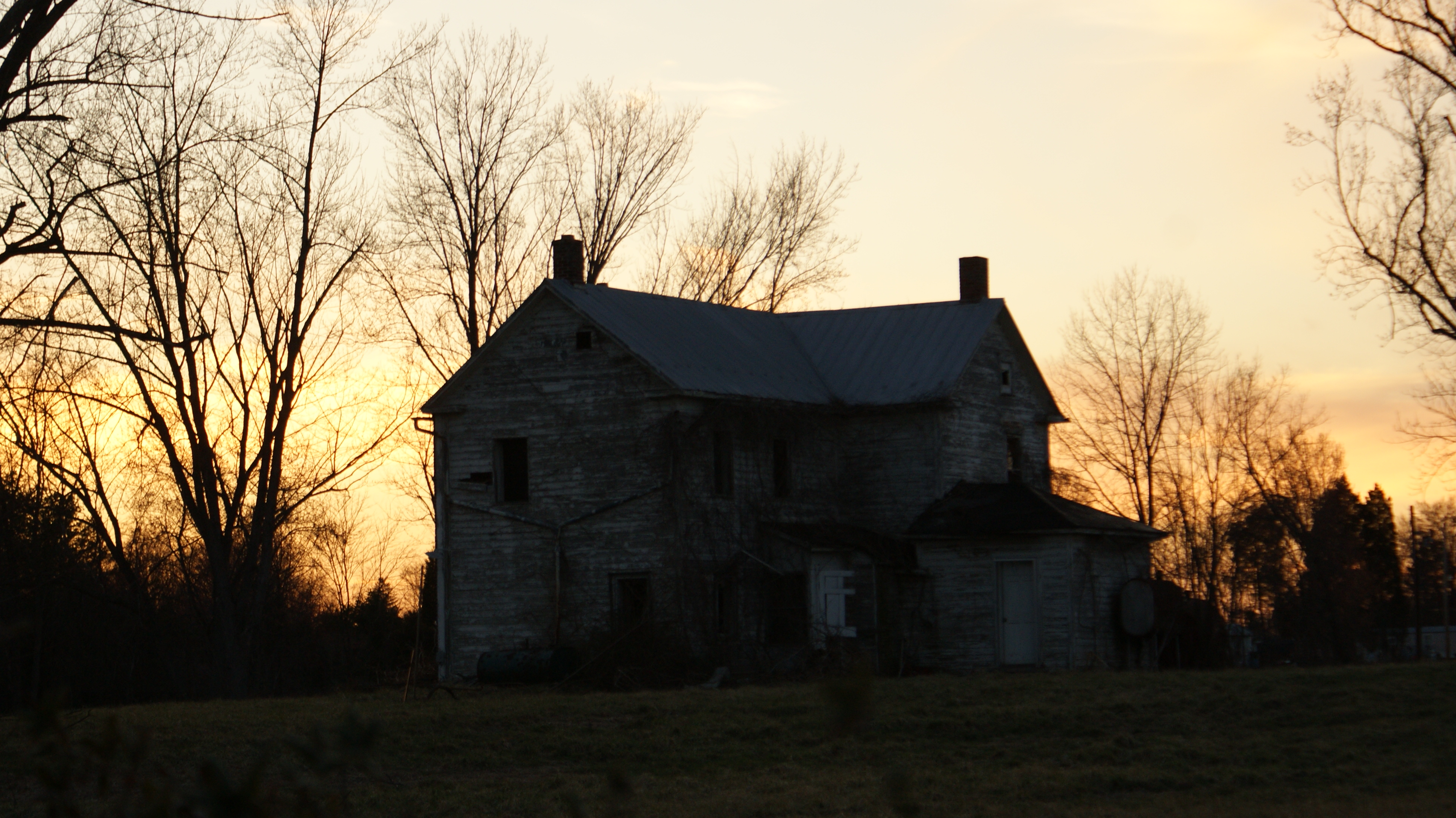
Abandoned Sunset
Sunset Ski Lift

C&O Canal National Historical Park, Maryland
Clear Spring, MD

WV October Sunset
canal sunset
Dam 5 Sunset and waterfall
Digital colored pencil sketch on course paper surface
Morning sunrise

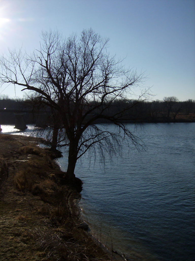
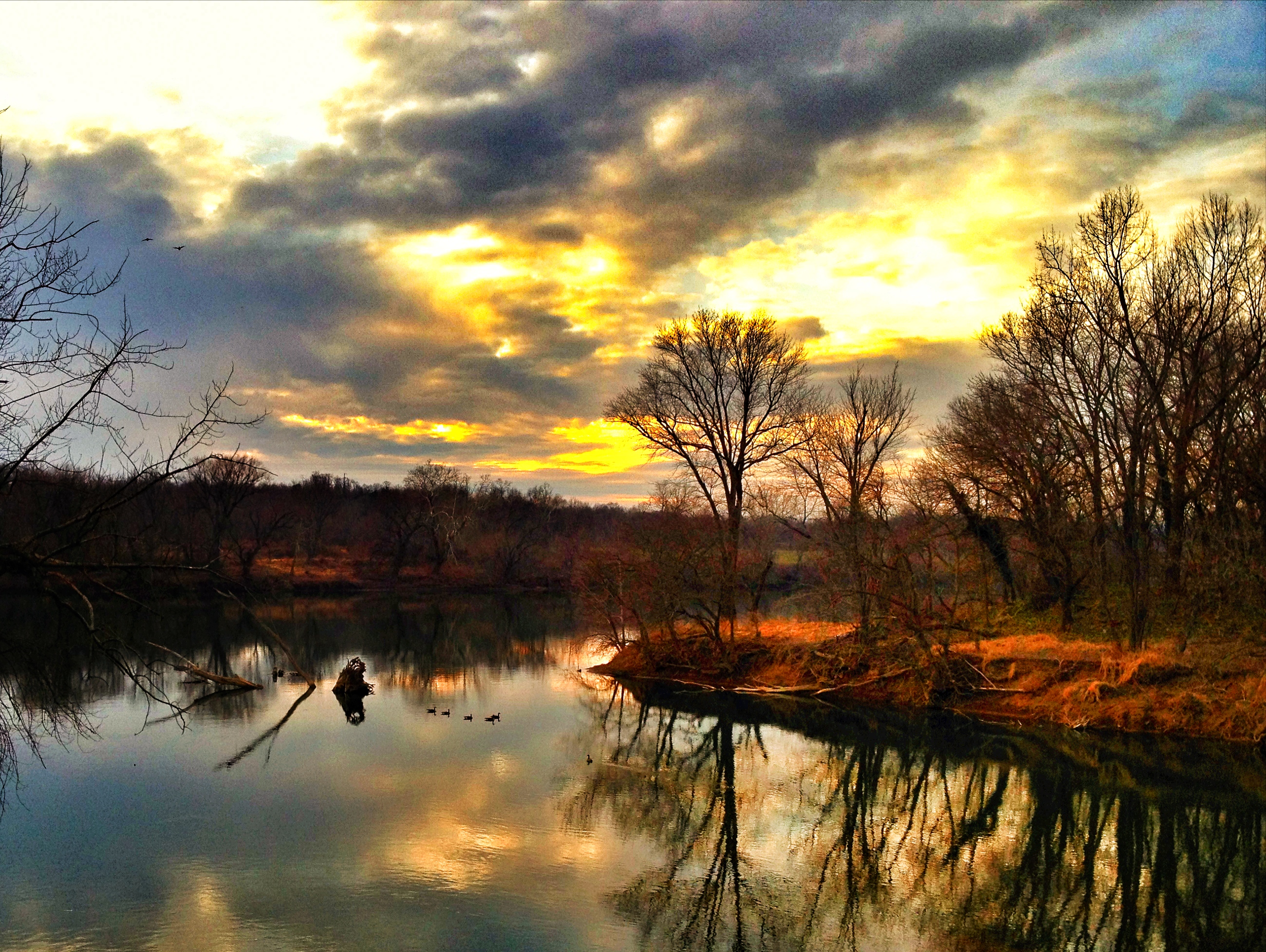
Morning on the Conococheague Creek in Williamsport MD
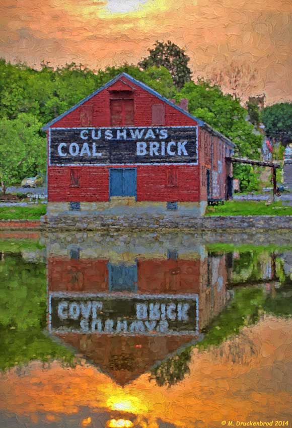
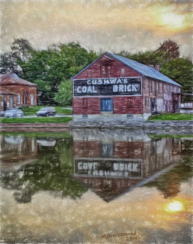
A digital painting of the Cushwa's Coal and Brick warehouse
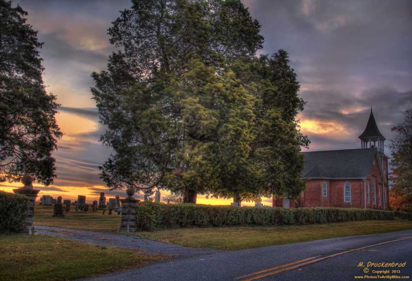
A Hagerstown Sunrise, MT. Tabor Church and Cemetary

foggy sunrise
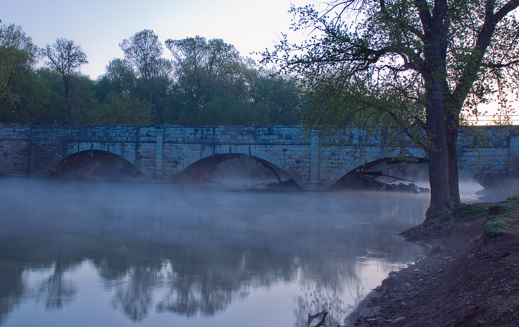
Concocheague Aqueduct Foggy

Running from the sunrise. Back to Motown.
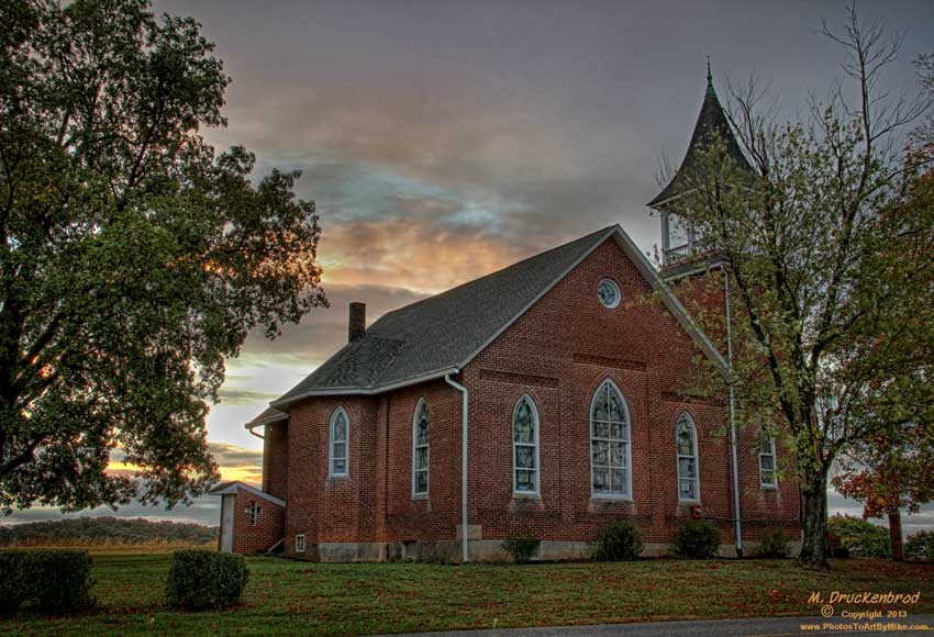
Mount Tabor Church, Hagerstown Maryland
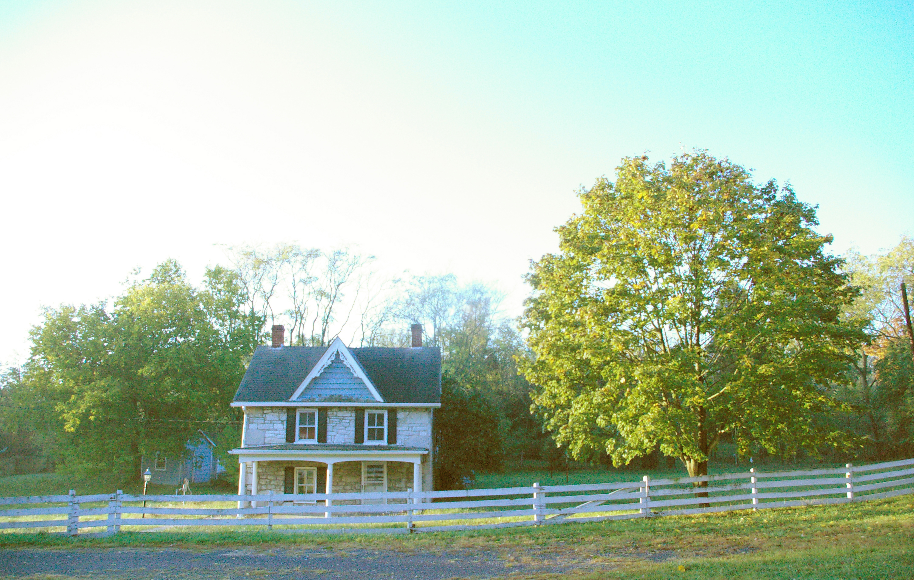
Victorian farmhouse at sunrise, Conococheague, Maryland
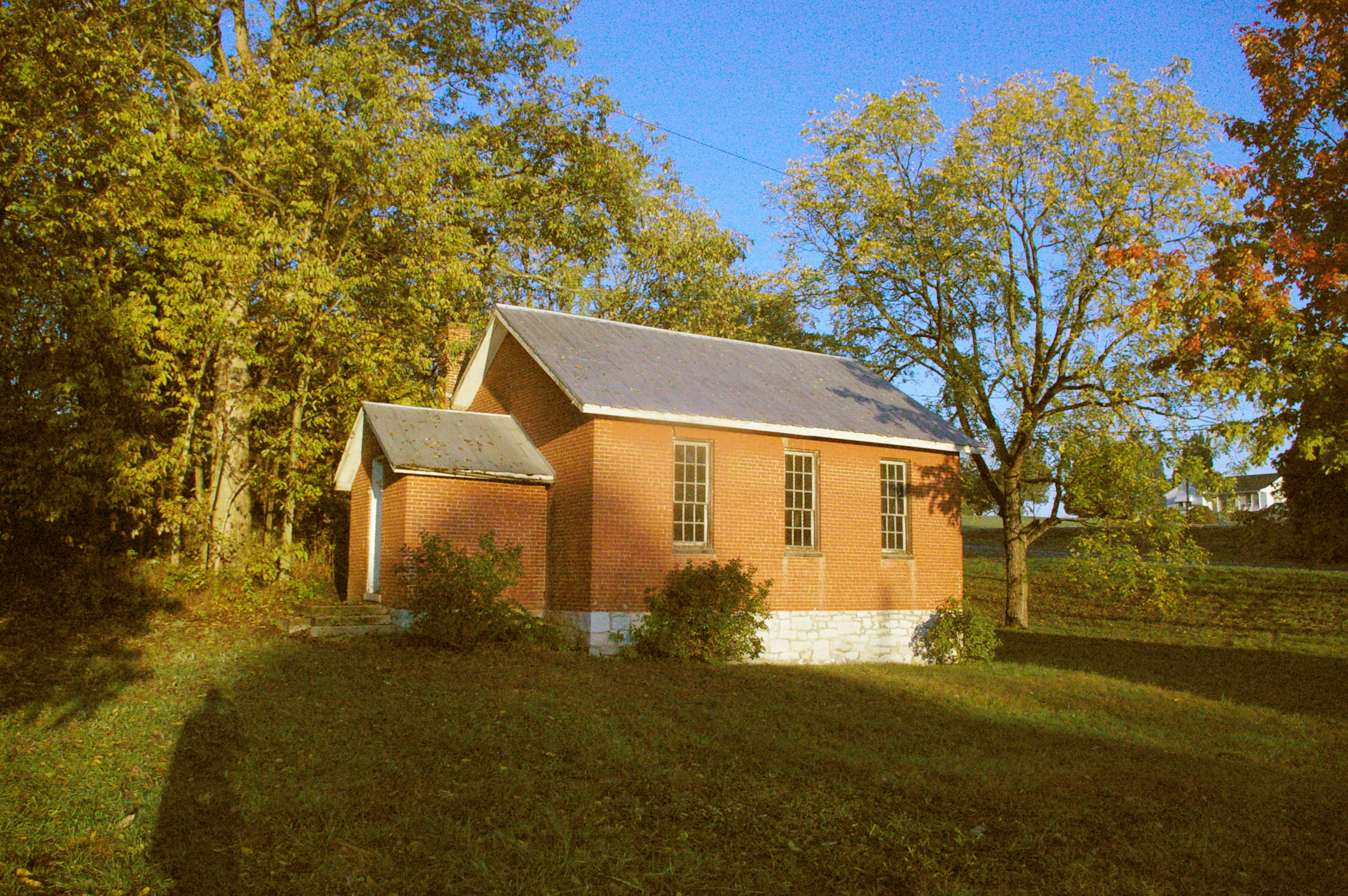
Wilson School, Conococheague, Maryland
Church, Conococheague, Maryland, at sunrise
アメリカ合衆国 メリーランド州 15, インディアン・スプリングの地図
別の場所を検索
アメリカ合衆国 メリーランド州 15, インディアン・スプリングでの場所
近所の場所
National Pike, Big Pool, MD アメリカ合衆国
Ernstville Rd, Big Pool, MD アメリカ合衆国
アメリカ合衆国 〒 メリーランド州 ビッグ・プール
Big Pool Rd, Clear Spring, MD アメリカ合衆国
Ankenny Ln, Clear Spring, MD アメリカ合衆国
Conner Bowers Rd, Hedgesville, WV アメリカ合衆国
Conservation Dr, Hedgesville, WV アメリカ合衆国
Trouble Ln, West Virginia アメリカ合衆国トラブル・レーン
Allensville Rd, Hedgesville, WV アメリカ合衆国
アメリカ合衆国 〒 ウェスト・バージニア州 バレー ジョンソンタウン
Colston Dr, Falling Waters, WV アメリカ合衆国
アメリカ合衆国 〒 ウェスト・バージニア州 ノース・マウンテン
アメリカ合衆国 ウェスト・バージニア州 ヘッジズビル
Aspero Ln, Falling Waters, WV アメリカ合衆国Aspero Lane
アメリカ合衆国 ウェスト・バージニア州 ポトマック
アメリカ合衆国 〒 ウェスト・バージニア州 フォーリング・ウォーターズ
97 Wandering Pine Ln, Falling Waters, WV アメリカ合衆国
Belvedere Ct, Falling Waters, WV アメリカ合衆国
Stayman Dr, Falling Waters, WV アメリカ合衆国
Stayman Dr, Falling Waters, WV アメリカ合衆国
最近の検索
- 日本、〒- 北海道斜里郡斜里町朱円東天に続く道展望台日の出日の入り時間
- 海岸咖啡, No. 31號, Chaishan Ave, Gushan District, Kaohsiung City, Taiwan日の出日の入り時間
- Estates Loop, Priest River, ID, USA日の出日の入り時間
- Woodland Oak Pl, Thousand Oaks, CA, USA日の出日の入り時間
- Sarangdanda, Nepal日の出日の入り時間
- 日本、〒- 宮城県塩竈市中の島日の出日の入り時間
- bp - 63 Rte de l'Observatoire, Bouzareah, アルジェリアアルジェ天文台日の出日の入り時間
- Crocker Dr, Vacaville, CA アメリカ合衆国日の出日の入り時間
- カンボジア センモノロム HWHM+3X7Pu Ngaol Community Meeting Hall日の出日の入り時間
- batu 10, Jalan Pantai, Port Dickson, Melaka, マレーシアPantai Cermin日の出日の入り時間