Sunrise Sunset Times of Franklin, QC J0S, Canada
Location: Canada > Québec > Le Haut-Saint-Laurent Regional County Municipality >
Timezone:
America/Toronto
Current Time:
2025-05-31 01:07:23
Longitude:
-73.8996322
Latitude:
45.0440912
Sunrise Today:
05:12:01 AM
Sunset Today:
08:34:46 PM
Daylength Today:
15h 22m 45s
Sunrise Tomorrow:
05:11:29 AM
Sunset Tomorrow:
08:35:37 PM
Daylength Tomorrow:
15h 24m 8s
Year Show All Dates
| Date | Sunrise | Sunset | Daylength |
|---|---|---|---|
| 01/01/2025 | 07:33:54 AM | 04:25:30 PM | 8h 51m 36s |
| 01/02/2025 | 07:33:52 AM | 04:26:27 PM | 8h 52m 35s |
| 01/03/2025 | 07:33:47 AM | 04:27:27 PM | 8h 53m 40s |
| 01/04/2025 | 07:33:40 AM | 04:28:28 PM | 8h 54m 48s |
| 01/05/2025 | 07:33:30 AM | 04:29:30 PM | 8h 56m 0s |
| 01/06/2025 | 07:33:18 AM | 04:30:35 PM | 8h 57m 17s |
| 01/07/2025 | 07:33:02 AM | 04:31:41 PM | 8h 58m 39s |
| 01/08/2025 | 07:32:45 AM | 04:32:48 PM | 9h 0m 3s |
| 01/09/2025 | 07:32:24 AM | 04:33:57 PM | 9h 1m 33s |
| 01/10/2025 | 07:32:02 AM | 04:35:07 PM | 9h 3m 5s |
| 01/11/2025 | 07:31:36 AM | 04:36:19 PM | 9h 4m 43s |
| 01/12/2025 | 07:31:08 AM | 04:37:32 PM | 9h 6m 24s |
| 01/13/2025 | 07:30:38 AM | 04:38:46 PM | 9h 8m 8s |
| 01/14/2025 | 07:30:05 AM | 04:40:01 PM | 9h 9m 56s |
| 01/15/2025 | 07:29:30 AM | 04:41:18 PM | 9h 11m 48s |
| 01/16/2025 | 07:28:52 AM | 04:42:35 PM | 9h 13m 43s |
| 01/17/2025 | 07:28:12 AM | 04:43:53 PM | 9h 15m 41s |
| 01/18/2025 | 07:27:30 AM | 04:45:13 PM | 9h 17m 43s |
| 01/19/2025 | 07:26:45 AM | 04:46:33 PM | 9h 19m 48s |
| 01/20/2025 | 07:25:58 AM | 04:47:53 PM | 9h 21m 55s |
| 01/21/2025 | 07:25:09 AM | 04:49:15 PM | 9h 24m 6s |
| 01/22/2025 | 07:24:18 AM | 04:50:37 PM | 9h 26m 19s |
| 01/23/2025 | 07:23:24 AM | 04:52:00 PM | 9h 28m 36s |
| 01/24/2025 | 07:22:29 AM | 04:53:23 PM | 9h 30m 54s |
| 01/25/2025 | 07:21:31 AM | 04:54:47 PM | 9h 33m 16s |
| 01/26/2025 | 07:20:31 AM | 04:56:11 PM | 9h 35m 40s |
| 01/27/2025 | 07:19:30 AM | 04:57:35 PM | 9h 38m 5s |
| 01/28/2025 | 07:18:26 AM | 04:59:00 PM | 9h 40m 34s |
| 01/29/2025 | 07:17:20 AM | 05:00:26 PM | 9h 43m 6s |
| 01/30/2025 | 07:16:13 AM | 05:01:51 PM | 9h 45m 38s |
| 01/31/2025 | 07:15:03 AM | 05:03:17 PM | 9h 48m 14s |
| 02/01/2025 | 07:13:52 AM | 05:04:43 PM | 9h 50m 51s |
| 02/02/2025 | 07:12:39 AM | 05:06:09 PM | 9h 53m 30s |
| 02/03/2025 | 07:11:24 AM | 05:07:35 PM | 9h 56m 11s |
| 02/04/2025 | 07:10:08 AM | 05:09:01 PM | 9h 58m 53s |
| 02/05/2025 | 07:08:50 AM | 05:10:27 PM | 10h 1m 37s |
| 02/06/2025 | 07:07:30 AM | 05:11:54 PM | 10h 4m 24s |
| 02/07/2025 | 07:06:09 AM | 05:13:20 PM | 10h 7m 11s |
| 02/08/2025 | 07:04:46 AM | 05:14:46 PM | 10h 10m 0s |
| 02/09/2025 | 07:03:22 AM | 05:16:12 PM | 10h 12m 50s |
| 02/10/2025 | 07:01:56 AM | 05:17:38 PM | 10h 15m 42s |
| 02/11/2025 | 07:00:29 AM | 05:19:04 PM | 10h 18m 35s |
| 02/12/2025 | 06:59:01 AM | 05:20:29 PM | 10h 21m 28s |
| 02/13/2025 | 06:57:31 AM | 05:21:55 PM | 10h 24m 24s |
| 02/14/2025 | 06:56:00 AM | 05:23:20 PM | 10h 27m 20s |
| 02/15/2025 | 06:54:28 AM | 05:24:45 PM | 10h 30m 17s |
| 02/16/2025 | 06:52:55 AM | 05:26:10 PM | 10h 33m 15s |
| 02/17/2025 | 06:51:20 AM | 05:27:35 PM | 10h 36m 15s |
| 02/18/2025 | 06:49:45 AM | 05:28:59 PM | 10h 39m 14s |
| 02/19/2025 | 06:48:08 AM | 05:30:24 PM | 10h 42m 16s |
| 02/20/2025 | 06:46:30 AM | 05:31:48 PM | 10h 45m 18s |
| 02/21/2025 | 06:44:51 AM | 05:33:11 PM | 10h 48m 20s |
| 02/22/2025 | 06:43:12 AM | 05:34:35 PM | 10h 51m 23s |
| 02/23/2025 | 06:41:31 AM | 05:35:58 PM | 10h 54m 27s |
| 02/24/2025 | 06:39:49 AM | 05:37:21 PM | 10h 57m 32s |
| 02/25/2025 | 06:38:07 AM | 05:38:43 PM | 11h 0m 36s |
| 02/26/2025 | 06:36:24 AM | 05:40:06 PM | 11h 3m 42s |
| 02/27/2025 | 06:34:40 AM | 05:41:28 PM | 11h 6m 48s |
| 02/28/2025 | 06:32:55 AM | 05:42:49 PM | 11h 9m 54s |
| 03/01/2025 | 06:31:09 AM | 05:44:11 PM | 11h 13m 2s |
| 03/02/2025 | 06:29:23 AM | 05:45:32 PM | 11h 16m 9s |
| 03/03/2025 | 06:27:36 AM | 05:46:53 PM | 11h 19m 17s |
| 03/04/2025 | 06:25:49 AM | 05:48:13 PM | 11h 22m 24s |
| 03/05/2025 | 06:24:01 AM | 05:49:34 PM | 11h 25m 33s |
| 03/06/2025 | 06:22:12 AM | 05:50:54 PM | 11h 28m 42s |
| 03/07/2025 | 06:20:23 AM | 05:52:14 PM | 11h 31m 51s |
| 03/08/2025 | 06:18:34 AM | 05:53:33 PM | 11h 34m 59s |
| 03/09/2025 | 07:16:48 AM | 06:54:49 PM | 11h 38m 1s |
| 03/10/2025 | 07:14:58 AM | 06:56:08 PM | 11h 41m 10s |
| 03/11/2025 | 07:13:07 AM | 06:57:27 PM | 11h 44m 20s |
| 03/12/2025 | 07:11:16 AM | 06:58:46 PM | 11h 47m 30s |
| 03/13/2025 | 07:09:24 AM | 07:00:04 PM | 11h 50m 40s |
| 03/14/2025 | 07:07:33 AM | 07:01:22 PM | 11h 53m 49s |
| 03/15/2025 | 07:05:41 AM | 07:02:40 PM | 11h 56m 59s |
| 03/16/2025 | 07:03:49 AM | 07:03:58 PM | 12h 0m 9s |
| 03/17/2025 | 07:01:56 AM | 07:05:16 PM | 12h 3m 20s |
| 03/18/2025 | 07:00:04 AM | 07:06:33 PM | 12h 6m 29s |
| 03/19/2025 | 06:58:11 AM | 07:07:51 PM | 12h 9m 40s |
| 03/20/2025 | 06:56:18 AM | 07:09:08 PM | 12h 12m 50s |
| 03/21/2025 | 06:54:25 AM | 07:10:25 PM | 12h 16m 0s |
| 03/22/2025 | 06:52:32 AM | 07:11:42 PM | 12h 19m 10s |
| 03/23/2025 | 06:50:40 AM | 07:12:59 PM | 12h 22m 19s |
| 03/24/2025 | 06:48:47 AM | 07:14:15 PM | 12h 25m 28s |
| 03/25/2025 | 06:46:54 AM | 07:15:32 PM | 12h 28m 38s |
| 03/26/2025 | 06:45:01 AM | 07:16:48 PM | 12h 31m 47s |
| 03/27/2025 | 06:43:09 AM | 07:18:05 PM | 12h 34m 56s |
| 03/28/2025 | 06:41:16 AM | 07:19:21 PM | 12h 38m 5s |
| 03/29/2025 | 06:39:24 AM | 07:20:37 PM | 12h 41m 13s |
| 03/30/2025 | 06:37:32 AM | 07:21:53 PM | 12h 44m 21s |
| 03/31/2025 | 06:35:40 AM | 07:23:10 PM | 12h 47m 30s |
| 04/01/2025 | 06:33:49 AM | 07:24:26 PM | 12h 50m 37s |
| 04/02/2025 | 06:31:57 AM | 07:25:42 PM | 12h 53m 45s |
| 04/03/2025 | 06:30:06 AM | 07:26:58 PM | 12h 56m 52s |
| 04/04/2025 | 06:28:16 AM | 07:28:14 PM | 12h 59m 58s |
| 04/05/2025 | 06:26:26 AM | 07:29:30 PM | 13h 3m 4s |
| 04/06/2025 | 06:24:36 AM | 07:30:46 PM | 13h 6m 10s |
| 04/07/2025 | 06:22:47 AM | 07:32:02 PM | 13h 9m 15s |
| 04/08/2025 | 06:20:58 AM | 07:33:18 PM | 13h 12m 20s |
| 04/09/2025 | 06:19:10 AM | 07:34:34 PM | 13h 15m 24s |
| 04/10/2025 | 06:17:22 AM | 07:35:50 PM | 13h 18m 28s |
| 04/11/2025 | 06:15:35 AM | 07:37:06 PM | 13h 21m 31s |
| 04/12/2025 | 06:13:49 AM | 07:38:22 PM | 13h 24m 33s |
| 04/13/2025 | 06:12:03 AM | 07:39:38 PM | 13h 27m 35s |
| 04/14/2025 | 06:10:18 AM | 07:40:54 PM | 13h 30m 36s |
| 04/15/2025 | 06:08:34 AM | 07:42:10 PM | 13h 33m 36s |
| 04/16/2025 | 06:06:50 AM | 07:43:25 PM | 13h 36m 35s |
| 04/17/2025 | 06:05:07 AM | 07:44:41 PM | 13h 39m 34s |
| 04/18/2025 | 06:03:25 AM | 07:45:57 PM | 13h 42m 32s |
| 04/19/2025 | 06:01:44 AM | 07:47:13 PM | 13h 45m 29s |
| 04/20/2025 | 06:00:04 AM | 07:48:29 PM | 13h 48m 25s |
| 04/21/2025 | 05:58:25 AM | 07:49:45 PM | 13h 51m 20s |
| 04/22/2025 | 05:56:47 AM | 07:51:00 PM | 13h 54m 13s |
| 04/23/2025 | 05:55:09 AM | 07:52:16 PM | 13h 57m 7s |
| 04/24/2025 | 05:53:33 AM | 07:53:32 PM | 13h 59m 59s |
| 04/25/2025 | 05:51:58 AM | 07:54:47 PM | 14h 2m 49s |
| 04/26/2025 | 05:50:24 AM | 07:56:02 PM | 14h 5m 38s |
| 04/27/2025 | 05:48:51 AM | 07:57:18 PM | 14h 8m 27s |
| 04/28/2025 | 05:47:19 AM | 07:58:33 PM | 14h 11m 14s |
| 04/29/2025 | 05:45:49 AM | 07:59:48 PM | 14h 13m 59s |
| 04/30/2025 | 05:44:19 AM | 08:01:02 PM | 14h 16m 43s |
| 05/01/2025 | 05:42:51 AM | 08:02:17 PM | 14h 19m 26s |
| 05/02/2025 | 05:41:25 AM | 08:03:31 PM | 14h 22m 6s |
| 05/03/2025 | 05:39:59 AM | 08:04:45 PM | 14h 24m 46s |
| 05/04/2025 | 05:38:35 AM | 08:05:59 PM | 14h 27m 24s |
| 05/05/2025 | 05:37:13 AM | 08:07:12 PM | 14h 29m 59s |
| 05/06/2025 | 05:35:52 AM | 08:08:26 PM | 14h 32m 34s |
| 05/07/2025 | 05:34:32 AM | 08:09:38 PM | 14h 35m 6s |
| 05/08/2025 | 05:33:14 AM | 08:10:51 PM | 14h 37m 37s |
| 05/09/2025 | 05:31:58 AM | 08:12:03 PM | 14h 40m 5s |
| 05/10/2025 | 05:30:43 AM | 08:13:14 PM | 14h 42m 31s |
| 05/11/2025 | 05:29:30 AM | 08:14:25 PM | 14h 44m 55s |
| 05/12/2025 | 05:28:18 AM | 08:15:35 PM | 14h 47m 17s |
| 05/13/2025 | 05:27:09 AM | 08:16:45 PM | 14h 49m 36s |
| 05/14/2025 | 05:26:01 AM | 08:17:54 PM | 14h 51m 53s |
| 05/15/2025 | 05:24:55 AM | 08:19:03 PM | 14h 54m 8s |
| 05/16/2025 | 05:23:50 AM | 08:20:11 PM | 14h 56m 21s |
| 05/17/2025 | 05:22:48 AM | 08:21:18 PM | 14h 58m 30s |
| 05/18/2025 | 05:21:47 AM | 08:22:24 PM | 15h 0m 37s |
| 05/19/2025 | 05:20:48 AM | 08:23:29 PM | 15h 2m 41s |
| 05/20/2025 | 05:19:52 AM | 08:24:34 PM | 15h 4m 42s |
| 05/21/2025 | 05:18:57 AM | 08:25:37 PM | 15h 6m 40s |
| 05/22/2025 | 05:18:04 AM | 08:26:40 PM | 15h 8m 36s |
| 05/23/2025 | 05:17:13 AM | 08:27:42 PM | 15h 10m 29s |
| 05/24/2025 | 05:16:25 AM | 08:28:42 PM | 15h 12m 17s |
| 05/25/2025 | 05:15:38 AM | 08:29:42 PM | 15h 14m 4s |
| 05/26/2025 | 05:14:54 AM | 08:30:40 PM | 15h 15m 46s |
| 05/27/2025 | 05:14:12 AM | 08:31:37 PM | 15h 17m 25s |
| 05/28/2025 | 05:13:32 AM | 08:32:33 PM | 15h 19m 1s |
| 05/29/2025 | 05:12:54 AM | 08:33:27 PM | 15h 20m 33s |
| 05/30/2025 | 05:12:18 AM | 08:34:20 PM | 15h 22m 2s |
| 05/31/2025 | 05:11:45 AM | 08:35:12 PM | 15h 23m 27s |
| 06/01/2025 | 05:11:14 AM | 08:36:02 PM | 15h 24m 48s |
| 06/02/2025 | 05:10:45 AM | 08:36:50 PM | 15h 26m 5s |
| 06/03/2025 | 05:10:18 AM | 08:37:37 PM | 15h 27m 19s |
| 06/04/2025 | 05:09:54 AM | 08:38:23 PM | 15h 28m 29s |
| 06/05/2025 | 05:09:32 AM | 08:39:07 PM | 15h 29m 35s |
| 06/06/2025 | 05:09:13 AM | 08:39:49 PM | 15h 30m 36s |
| 06/07/2025 | 05:08:55 AM | 08:40:29 PM | 15h 31m 34s |
| 06/08/2025 | 05:08:40 AM | 08:41:07 PM | 15h 32m 27s |
| 06/09/2025 | 05:08:28 AM | 08:41:44 PM | 15h 33m 16s |
| 06/10/2025 | 05:08:17 AM | 08:42:18 PM | 15h 34m 1s |
| 06/11/2025 | 05:08:10 AM | 08:42:51 PM | 15h 34m 41s |
| 06/12/2025 | 05:08:04 AM | 08:43:22 PM | 15h 35m 18s |
| 06/13/2025 | 05:08:01 AM | 08:43:50 PM | 15h 35m 49s |
| 06/14/2025 | 05:08:00 AM | 08:44:17 PM | 15h 36m 17s |
| 06/15/2025 | 05:08:01 AM | 08:44:42 PM | 15h 36m 41s |
| 06/16/2025 | 05:08:04 AM | 08:45:04 PM | 15h 37m 0s |
| 06/17/2025 | 05:08:10 AM | 08:45:24 PM | 15h 37m 14s |
| 06/18/2025 | 05:08:18 AM | 08:45:42 PM | 15h 37m 24s |
| 06/19/2025 | 05:08:29 AM | 08:45:58 PM | 15h 37m 29s |
| 06/20/2025 | 05:08:41 AM | 08:46:12 PM | 15h 37m 31s |
| 06/21/2025 | 05:08:56 AM | 08:46:23 PM | 15h 37m 27s |
| 06/22/2025 | 05:09:13 AM | 08:46:32 PM | 15h 37m 19s |
| 06/23/2025 | 05:09:32 AM | 08:46:39 PM | 15h 37m 7s |
| 06/24/2025 | 05:09:53 AM | 08:46:43 PM | 15h 36m 50s |
| 06/25/2025 | 05:10:16 AM | 08:46:45 PM | 15h 36m 29s |
| 06/26/2025 | 05:10:42 AM | 08:46:45 PM | 15h 36m 3s |
| 06/27/2025 | 05:11:09 AM | 08:46:42 PM | 15h 35m 33s |
| 06/28/2025 | 05:11:38 AM | 08:46:37 PM | 15h 34m 59s |
| 06/29/2025 | 05:12:09 AM | 08:46:30 PM | 15h 34m 21s |
| 06/30/2025 | 05:12:42 AM | 08:46:20 PM | 15h 33m 38s |
| 07/01/2025 | 05:13:17 AM | 08:46:08 PM | 15h 32m 51s |
| 07/02/2025 | 05:13:54 AM | 08:45:53 PM | 15h 31m 59s |
| 07/03/2025 | 05:14:32 AM | 08:45:36 PM | 15h 31m 4s |
| 07/04/2025 | 05:15:13 AM | 08:45:17 PM | 15h 30m 4s |
| 07/05/2025 | 05:15:54 AM | 08:44:55 PM | 15h 29m 1s |
| 07/06/2025 | 05:16:38 AM | 08:44:31 PM | 15h 27m 53s |
| 07/07/2025 | 05:17:23 AM | 08:44:05 PM | 15h 26m 42s |
| 07/08/2025 | 05:18:09 AM | 08:43:36 PM | 15h 25m 27s |
| 07/09/2025 | 05:18:57 AM | 08:43:05 PM | 15h 24m 8s |
| 07/10/2025 | 05:19:47 AM | 08:42:32 PM | 15h 22m 45s |
| 07/11/2025 | 05:20:38 AM | 08:41:57 PM | 15h 21m 19s |
| 07/12/2025 | 05:21:30 AM | 08:41:19 PM | 15h 19m 49s |
| 07/13/2025 | 05:22:23 AM | 08:40:39 PM | 15h 18m 16s |
| 07/14/2025 | 05:23:18 AM | 08:39:57 PM | 15h 16m 39s |
| 07/15/2025 | 05:24:13 AM | 08:39:12 PM | 15h 14m 59s |
| 07/16/2025 | 05:25:10 AM | 08:38:26 PM | 15h 13m 16s |
| 07/17/2025 | 05:26:08 AM | 08:37:37 PM | 15h 11m 29s |
| 07/18/2025 | 05:27:07 AM | 08:36:46 PM | 15h 9m 39s |
| 07/19/2025 | 05:28:07 AM | 08:35:53 PM | 15h 7m 46s |
| 07/20/2025 | 05:29:08 AM | 08:34:58 PM | 15h 5m 50s |
| 07/21/2025 | 05:30:10 AM | 08:34:01 PM | 15h 3m 51s |
| 07/22/2025 | 05:31:12 AM | 08:33:02 PM | 15h 1m 50s |
| 07/23/2025 | 05:32:16 AM | 08:32:01 PM | 14h 59m 45s |
| 07/24/2025 | 05:33:20 AM | 08:30:59 PM | 14h 57m 39s |
| 07/25/2025 | 05:34:24 AM | 08:29:54 PM | 14h 55m 30s |
| 07/26/2025 | 05:35:30 AM | 08:28:47 PM | 14h 53m 17s |
| 07/27/2025 | 05:36:36 AM | 08:27:39 PM | 14h 51m 3s |
| 07/28/2025 | 05:37:42 AM | 08:26:29 PM | 14h 48m 47s |
| 07/29/2025 | 05:38:50 AM | 08:25:17 PM | 14h 46m 27s |
| 07/30/2025 | 05:39:57 AM | 08:24:03 PM | 14h 44m 6s |
| 07/31/2025 | 05:41:05 AM | 08:22:48 PM | 14h 41m 43s |
| 08/01/2025 | 05:42:14 AM | 08:21:31 PM | 14h 39m 17s |
| 08/02/2025 | 05:43:23 AM | 08:20:12 PM | 14h 36m 49s |
| 08/03/2025 | 05:44:32 AM | 08:18:52 PM | 14h 34m 20s |
| 08/04/2025 | 05:45:42 AM | 08:17:31 PM | 14h 31m 49s |
| 08/05/2025 | 05:46:51 AM | 08:16:08 PM | 14h 29m 17s |
| 08/06/2025 | 05:48:02 AM | 08:14:43 PM | 14h 26m 41s |
| 08/07/2025 | 05:49:12 AM | 08:13:17 PM | 14h 24m 5s |
| 08/08/2025 | 05:50:23 AM | 08:11:50 PM | 14h 21m 27s |
| 08/09/2025 | 05:51:33 AM | 08:10:21 PM | 14h 18m 48s |
| 08/10/2025 | 05:52:44 AM | 08:08:51 PM | 14h 16m 7s |
| 08/11/2025 | 05:53:55 AM | 08:07:20 PM | 14h 13m 25s |
| 08/12/2025 | 05:55:07 AM | 08:05:47 PM | 14h 10m 40s |
| 08/13/2025 | 05:56:18 AM | 08:04:13 PM | 14h 7m 55s |
| 08/14/2025 | 05:57:29 AM | 08:02:38 PM | 14h 5m 9s |
| 08/15/2025 | 05:58:41 AM | 08:01:02 PM | 14h 2m 21s |
| 08/16/2025 | 05:59:53 AM | 07:59:25 PM | 13h 59m 32s |
| 08/17/2025 | 06:01:04 AM | 07:57:47 PM | 13h 56m 43s |
| 08/18/2025 | 06:02:16 AM | 07:56:08 PM | 13h 53m 52s |
| 08/19/2025 | 06:03:27 AM | 07:54:28 PM | 13h 51m 1s |
| 08/20/2025 | 06:04:39 AM | 07:52:46 PM | 13h 48m 7s |
| 08/21/2025 | 06:05:51 AM | 07:51:04 PM | 13h 45m 13s |
| 08/22/2025 | 06:07:03 AM | 07:49:21 PM | 13h 42m 18s |
| 08/23/2025 | 06:08:14 AM | 07:47:38 PM | 13h 39m 24s |
| 08/24/2025 | 06:09:26 AM | 07:45:53 PM | 13h 36m 27s |
| 08/25/2025 | 06:10:37 AM | 07:44:07 PM | 13h 33m 30s |
| 08/26/2025 | 06:11:49 AM | 07:42:21 PM | 13h 30m 32s |
| 08/27/2025 | 06:13:01 AM | 07:40:34 PM | 13h 27m 33s |
| 08/28/2025 | 06:14:12 AM | 07:38:47 PM | 13h 24m 35s |
| 08/29/2025 | 06:15:24 AM | 07:36:59 PM | 13h 21m 35s |
| 08/30/2025 | 06:16:35 AM | 07:35:10 PM | 13h 18m 35s |
| 08/31/2025 | 06:17:47 AM | 07:33:20 PM | 13h 15m 33s |
| 09/01/2025 | 06:18:58 AM | 07:31:30 PM | 13h 12m 32s |
| 09/02/2025 | 06:20:10 AM | 07:29:40 PM | 13h 9m 30s |
| 09/03/2025 | 06:21:21 AM | 07:27:49 PM | 13h 6m 28s |
| 09/04/2025 | 06:22:32 AM | 07:25:57 PM | 13h 3m 25s |
| 09/05/2025 | 06:23:44 AM | 07:24:05 PM | 13h 0m 21s |
| 09/06/2025 | 06:24:55 AM | 07:22:13 PM | 12h 57m 18s |
| 09/07/2025 | 06:26:06 AM | 07:20:20 PM | 12h 54m 14s |
| 09/08/2025 | 06:27:18 AM | 07:18:27 PM | 12h 51m 9s |
| 09/09/2025 | 06:28:29 AM | 07:16:34 PM | 12h 48m 5s |
| 09/10/2025 | 06:29:41 AM | 07:14:40 PM | 12h 44m 59s |
| 09/11/2025 | 06:30:52 AM | 07:12:46 PM | 12h 41m 54s |
| 09/12/2025 | 06:32:04 AM | 07:10:52 PM | 12h 38m 48s |
| 09/13/2025 | 06:33:15 AM | 07:08:58 PM | 12h 35m 43s |
| 09/14/2025 | 06:34:27 AM | 07:07:03 PM | 12h 32m 36s |
| 09/15/2025 | 06:35:39 AM | 07:05:09 PM | 12h 29m 30s |
| 09/16/2025 | 06:36:50 AM | 07:03:14 PM | 12h 26m 24s |
| 09/17/2025 | 06:38:02 AM | 07:01:20 PM | 12h 23m 18s |
| 09/18/2025 | 06:39:14 AM | 06:59:25 PM | 12h 20m 11s |
| 09/19/2025 | 06:40:26 AM | 06:57:30 PM | 12h 17m 4s |
| 09/20/2025 | 06:41:38 AM | 06:55:35 PM | 12h 13m 57s |
| 09/21/2025 | 06:42:51 AM | 06:53:40 PM | 12h 10m 49s |
| 09/22/2025 | 06:44:03 AM | 06:51:46 PM | 12h 7m 43s |
| 09/23/2025 | 06:45:16 AM | 06:49:51 PM | 12h 4m 35s |
| 09/24/2025 | 06:46:29 AM | 06:47:57 PM | 12h 1m 28s |
| 09/25/2025 | 06:47:41 AM | 06:46:03 PM | 11h 58m 22s |
| 09/26/2025 | 06:48:55 AM | 06:44:09 PM | 11h 55m 14s |
| 09/27/2025 | 06:50:08 AM | 06:42:15 PM | 11h 52m 7s |
| 09/28/2025 | 06:51:21 AM | 06:40:22 PM | 11h 49m 1s |
| 09/29/2025 | 06:52:35 AM | 06:38:28 PM | 11h 45m 53s |
| 09/30/2025 | 06:53:49 AM | 06:36:36 PM | 11h 42m 47s |
| 10/01/2025 | 06:55:03 AM | 06:34:43 PM | 11h 39m 40s |
| 10/02/2025 | 06:56:18 AM | 06:32:51 PM | 11h 36m 33s |
| 10/03/2025 | 06:57:32 AM | 06:30:59 PM | 11h 33m 27s |
| 10/04/2025 | 06:58:47 AM | 06:29:08 PM | 11h 30m 21s |
| 10/05/2025 | 07:00:03 AM | 06:27:17 PM | 11h 27m 14s |
| 10/06/2025 | 07:01:18 AM | 06:25:27 PM | 11h 24m 9s |
| 10/07/2025 | 07:02:34 AM | 06:23:37 PM | 11h 21m 3s |
| 10/08/2025 | 07:03:50 AM | 06:21:48 PM | 11h 17m 58s |
| 10/09/2025 | 07:05:06 AM | 06:20:00 PM | 11h 14m 54s |
| 10/10/2025 | 07:06:23 AM | 06:18:12 PM | 11h 11m 49s |
| 10/11/2025 | 07:07:40 AM | 06:16:25 PM | 11h 8m 45s |
| 10/12/2025 | 07:08:57 AM | 06:14:38 PM | 11h 5m 41s |
| 10/13/2025 | 07:10:15 AM | 06:12:53 PM | 11h 2m 38s |
| 10/14/2025 | 07:11:32 AM | 06:11:08 PM | 10h 59m 36s |
| 10/15/2025 | 07:12:51 AM | 06:09:24 PM | 10h 56m 33s |
| 10/16/2025 | 07:14:09 AM | 06:07:41 PM | 10h 53m 32s |
| 10/17/2025 | 07:15:28 AM | 06:05:58 PM | 10h 50m 30s |
| 10/18/2025 | 07:16:47 AM | 06:04:17 PM | 10h 47m 30s |
| 10/19/2025 | 07:18:06 AM | 06:02:36 PM | 10h 44m 30s |
| 10/20/2025 | 07:19:26 AM | 06:00:57 PM | 10h 41m 31s |
| 10/21/2025 | 07:20:46 AM | 05:59:19 PM | 10h 38m 33s |
| 10/22/2025 | 07:22:06 AM | 05:57:41 PM | 10h 35m 35s |
| 10/23/2025 | 07:23:27 AM | 05:56:05 PM | 10h 32m 38s |
| 10/24/2025 | 07:24:48 AM | 05:54:30 PM | 10h 29m 42s |
| 10/25/2025 | 07:26:09 AM | 05:52:56 PM | 10h 26m 47s |
| 10/26/2025 | 07:27:30 AM | 05:51:24 PM | 10h 23m 54s |
| 10/27/2025 | 07:28:51 AM | 05:49:53 PM | 10h 21m 2s |
| 10/28/2025 | 07:30:13 AM | 05:48:23 PM | 10h 18m 10s |
| 10/29/2025 | 07:31:35 AM | 05:46:54 PM | 10h 15m 19s |
| 10/30/2025 | 07:32:57 AM | 05:45:27 PM | 10h 12m 30s |
| 10/31/2025 | 07:34:19 AM | 05:44:01 PM | 10h 9m 42s |
| 11/01/2025 | 07:35:42 AM | 05:42:36 PM | 10h 6m 54s |
| 11/02/2025 | 06:37:08 AM | 04:41:10 PM | 10h 4m 2s |
| 11/03/2025 | 06:38:30 AM | 04:39:49 PM | 10h 1m 19s |
| 11/04/2025 | 06:39:53 AM | 04:38:29 PM | 9h 58m 36s |
| 11/05/2025 | 06:41:15 AM | 04:37:11 PM | 9h 55m 56s |
| 11/06/2025 | 06:42:38 AM | 04:35:55 PM | 9h 53m 17s |
| 11/07/2025 | 06:44:01 AM | 04:34:40 PM | 9h 50m 39s |
| 11/08/2025 | 06:45:23 AM | 04:33:28 PM | 9h 48m 5s |
| 11/09/2025 | 06:46:46 AM | 04:32:17 PM | 9h 45m 31s |
| 11/10/2025 | 06:48:08 AM | 04:31:07 PM | 9h 42m 59s |
| 11/11/2025 | 06:49:30 AM | 04:30:00 PM | 9h 40m 30s |
| 11/12/2025 | 06:50:52 AM | 04:28:55 PM | 9h 38m 3s |
| 11/13/2025 | 06:52:13 AM | 04:27:51 PM | 9h 35m 38s |
| 11/14/2025 | 06:53:35 AM | 04:26:50 PM | 9h 33m 15s |
| 11/15/2025 | 06:54:55 AM | 04:25:51 PM | 9h 30m 56s |
| 11/16/2025 | 06:56:16 AM | 04:24:53 PM | 9h 28m 37s |
| 11/17/2025 | 06:57:36 AM | 04:23:58 PM | 9h 26m 22s |
| 11/18/2025 | 06:58:55 AM | 04:23:05 PM | 9h 24m 10s |
| 11/19/2025 | 07:00:14 AM | 04:22:15 PM | 9h 22m 1s |
| 11/20/2025 | 07:01:33 AM | 04:21:26 PM | 9h 19m 53s |
| 11/21/2025 | 07:02:50 AM | 04:20:40 PM | 9h 17m 50s |
| 11/22/2025 | 07:04:07 AM | 04:19:56 PM | 9h 15m 49s |
| 11/23/2025 | 07:05:23 AM | 04:19:14 PM | 9h 13m 51s |
| 11/24/2025 | 07:06:39 AM | 04:18:35 PM | 9h 11m 56s |
| 11/25/2025 | 07:07:53 AM | 04:17:58 PM | 9h 10m 5s |
| 11/26/2025 | 07:09:06 AM | 04:17:24 PM | 9h 8m 18s |
| 11/27/2025 | 07:10:18 AM | 04:16:52 PM | 9h 6m 34s |
| 11/28/2025 | 07:11:30 AM | 04:16:23 PM | 9h 4m 53s |
| 11/29/2025 | 07:12:40 AM | 04:15:56 PM | 9h 3m 16s |
| 11/30/2025 | 07:13:49 AM | 04:15:32 PM | 9h 1m 43s |
| 12/01/2025 | 07:14:56 AM | 04:15:10 PM | 9h 0m 14s |
| 12/02/2025 | 07:16:02 AM | 04:14:51 PM | 8h 58m 49s |
| 12/03/2025 | 07:17:07 AM | 04:14:34 PM | 8h 57m 27s |
| 12/04/2025 | 07:18:10 AM | 04:14:21 PM | 8h 56m 11s |
| 12/05/2025 | 07:19:12 AM | 04:14:09 PM | 8h 54m 57s |
| 12/06/2025 | 07:20:12 AM | 04:14:01 PM | 8h 53m 49s |
| 12/07/2025 | 07:21:10 AM | 04:13:55 PM | 8h 52m 45s |
| 12/08/2025 | 07:22:07 AM | 04:13:51 PM | 8h 51m 44s |
| 12/09/2025 | 07:23:02 AM | 04:13:51 PM | 8h 50m 49s |
| 12/10/2025 | 07:23:55 AM | 04:13:53 PM | 8h 49m 58s |
| 12/11/2025 | 07:24:46 AM | 04:13:57 PM | 8h 49m 11s |
| 12/12/2025 | 07:25:35 AM | 04:14:05 PM | 8h 48m 30s |
| 12/13/2025 | 07:26:22 AM | 04:14:15 PM | 8h 47m 53s |
| 12/14/2025 | 07:27:07 AM | 04:14:27 PM | 8h 47m 20s |
| 12/15/2025 | 07:27:50 AM | 04:14:43 PM | 8h 46m 53s |
| 12/16/2025 | 07:28:31 AM | 04:15:01 PM | 8h 46m 30s |
| 12/17/2025 | 07:29:09 AM | 04:15:21 PM | 8h 46m 12s |
| 12/18/2025 | 07:29:45 AM | 04:15:44 PM | 8h 45m 59s |
| 12/19/2025 | 07:30:19 AM | 04:16:10 PM | 8h 45m 51s |
| 12/20/2025 | 07:30:51 AM | 04:16:38 PM | 8h 45m 47s |
| 12/21/2025 | 07:31:20 AM | 04:17:08 PM | 8h 45m 48s |
| 12/22/2025 | 07:31:46 AM | 04:17:41 PM | 8h 45m 55s |
| 12/23/2025 | 07:32:11 AM | 04:18:17 PM | 8h 46m 6s |
| 12/24/2025 | 07:32:32 AM | 04:18:54 PM | 8h 46m 22s |
| 12/25/2025 | 07:32:52 AM | 04:19:34 PM | 8h 46m 42s |
| 12/26/2025 | 07:33:08 AM | 04:20:17 PM | 8h 47m 9s |
| 12/27/2025 | 07:33:22 AM | 04:21:01 PM | 8h 47m 39s |
| 12/28/2025 | 07:33:34 AM | 04:21:48 PM | 8h 48m 14s |
| 12/29/2025 | 07:33:43 AM | 04:22:37 PM | 8h 48m 54s |
| 12/30/2025 | 07:33:49 AM | 04:23:28 PM | 8h 49m 39s |
| 12/31/2025 | 07:33:53 AM | 04:24:21 PM | 8h 50m 28s |
Sunrise & Sunset Photos
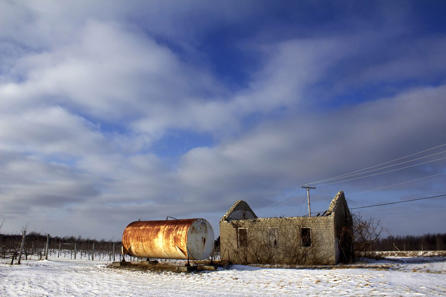
Le baril, les ruines et le poteau...

pl20nov10 005
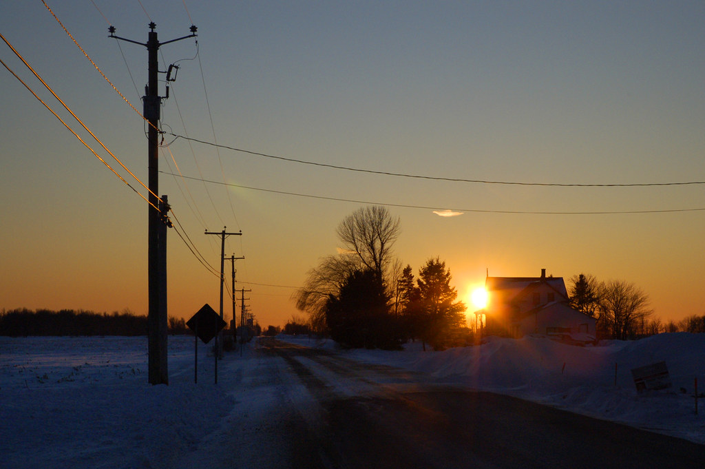
Coucher de soleil en Montérégie
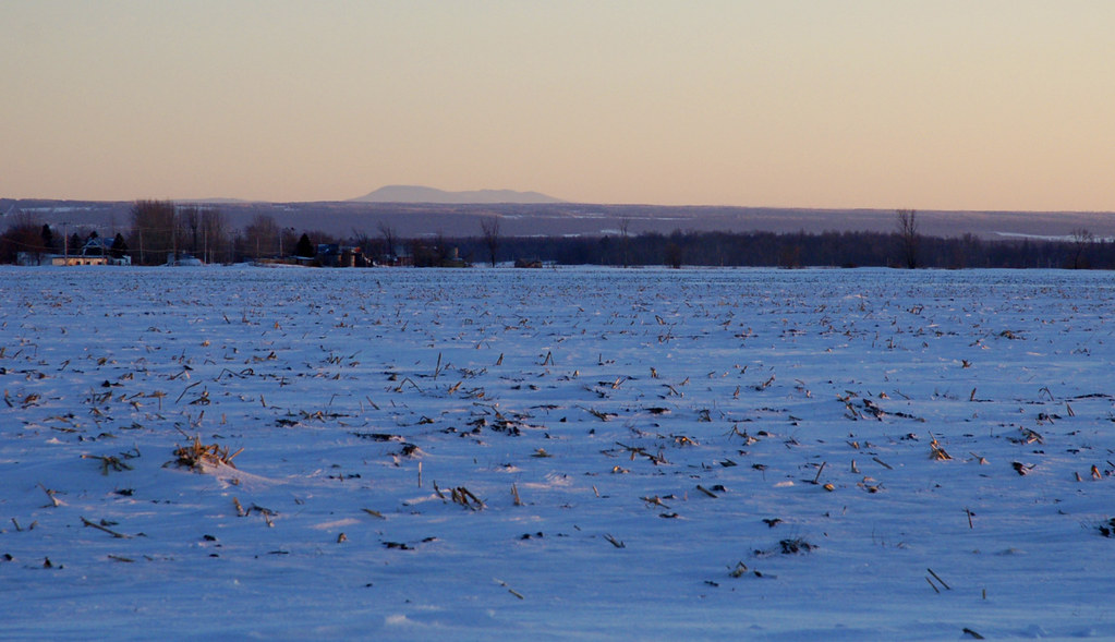
Montérégie
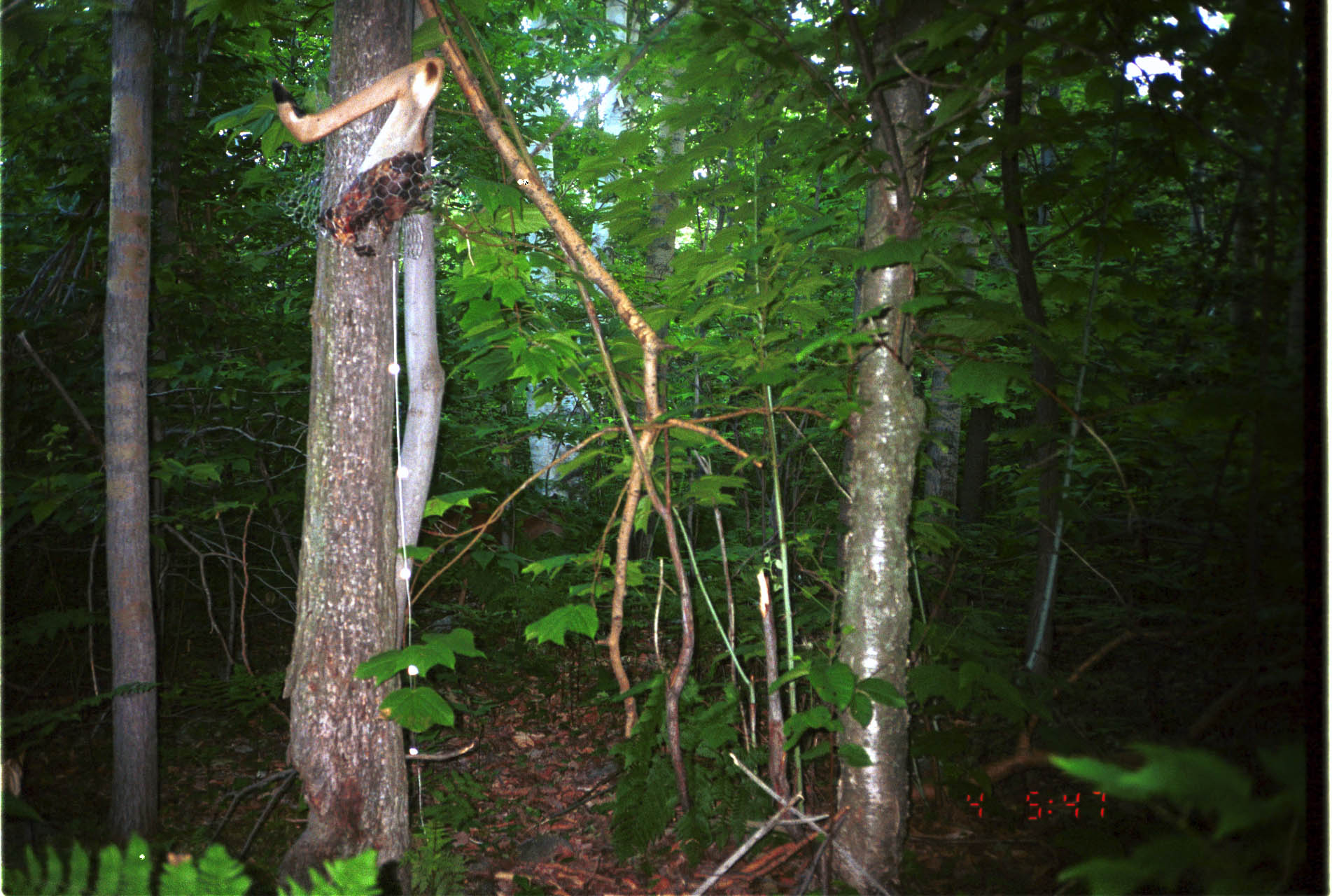
White-tailed Deer
On the Châteauguay river road near Ormstown / Sur le chemin de la rivière Châteauguay près de Ormstown, Québec, Canada (P0023713)

01-13-2016_11-B&W

01-13-2016_13-B&W

01-13-2016_18-B&W

01-13-2016_21-B&W

01-13-2016_20-B&W

01-13-2016_23-B&W

01-13-2016_35-B&W

01-13-2016_34-B&W

01-13-2016_33-B&W

01-13-2016_28-B&W

01-13-2016_27-B&W

01-13-2016_0-B&W

01-13-2016_3-B&W

01-13-2016_2-B&W

01-13-2016_15-B&W

01-13-2016_14-B&W
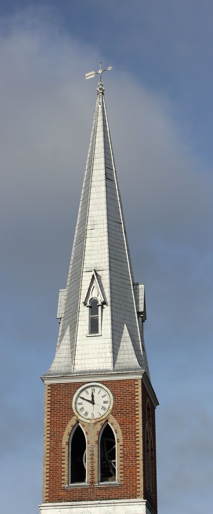
Bell Tower of St Paul United Church in Ormstown (formerly Presbyterian)
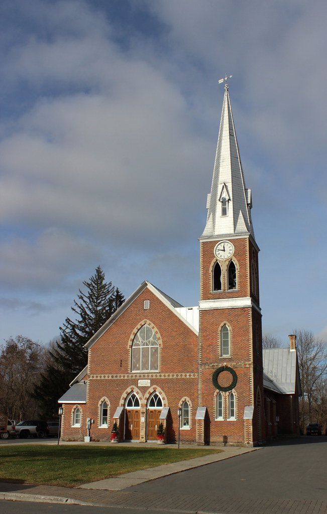
St Paul United Church in Ormstown (formerly Presbyterian)
Le marais
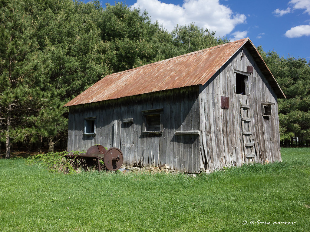
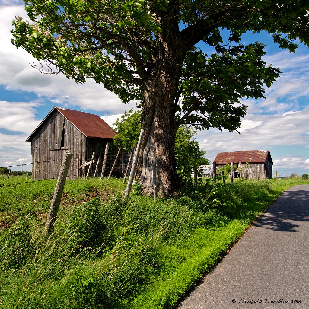
Vieux batiment
Franklin, QC J0S, Canada Map
Search another place
Near Places
Chemin de Covey Hill, Hinchinbrooke, QC J0S 1E0, Canada
Rang Dumas, Ormstown, QC J0S, Canada
4e Rang, Ormstown, QC J0S, Canada
Ormstown, QC J0S, Canada
Rang de Tullochgorum, Ormstown, QC J0S, Canada
99 Rang Saint-Antoine, Saint-Chrysostome, QC J0S 1R0, Canada
27 Rue Lambton, Ormstown, QC J0S, Canada
Havelock, QC, Canada
Covey Hill, QC J0S 2C0, Canada
Aubrey, QC J0S, Canada
Saint-Chrysostome, QC J0S, Canada
Chemin Larocque, Ormstown, QC J0S, Canada
Howick, QC, Canada
APH Cabinets, Rg Notre Dame, Saint-Chrysostome, QC J0S 1R0, Canada
Beauharnois-Salaberry Regional County Municipality, QC, Canada
Hinchinbrooke, QC J0S, Canada
Le Haut-Saint-Laurent Regional County Municipality, QC, Canada
Sainte-Martine, QC, Canada
Sainte-Martine, QC, Canada
Chemin de la Haute Rivière, Sainte-Martine, QC J0S 1V0, Canada
Recent Searches
- Sunrise Sunset Times of Red Dog Mine, AK, USA
- Sunrise Sunset Times of Am Bahnhof, Am bhf, Borken, Germany
- Sunrise Sunset Times of 4th St E, Sonoma, CA, USA
- Sunrise Sunset Times of Oakland Ave, Williamsport, PA, USA
- Sunrise Sunset Times of Via Roma, Pieranica CR, Italy
- Sunrise Sunset Times of Clock Tower of Dubrovnik, Grad, Dubrovnik, Croatia
- Sunrise Sunset Times of Trelew, Chubut Province, Argentina
- Sunrise Sunset Times of Hartfords Bluff Cir, Mt Pleasant, SC, USA
- Sunrise Sunset Times of Kita Ward, Kumamoto, Japan
- Sunrise Sunset Times of Pingtan Island, Pingtan County, Fuzhou, China