Sunrise Sunset Times of Flood Hope Rd, Hope, BC V0X 1L2, Canada
Location: Canada > British Columbia > Hope >
Timezone:
America/Vancouver
Current Time:
2024-04-27 19:09:36
Longitude:
-121.468879
Latitude:
49.3615
Sunrise Today:
05:47:08 AM
Sunset Today:
08:19:20 PM
Daylength Today:
14h 32m 12s
Sunrise Tomorrow:
05:45:22 AM
Sunset Tomorrow:
08:20:49 PM
Daylength Tomorrow:
14h 35m 27s
Year Show All Dates
| Date | Sunrise | Sunset | Daylength |
|---|---|---|---|
| 01/01/2024 | 08:01:18 AM | 04:18:12 PM | 8h 16m 54s |
| 01/02/2024 | 08:01:11 AM | 04:19:15 PM | 8h 18m 4s |
| 01/03/2024 | 08:01:01 AM | 04:20:19 PM | 8h 19m 18s |
| 01/04/2024 | 08:00:48 AM | 04:21:26 PM | 8h 20m 38s |
| 01/05/2024 | 08:00:32 AM | 04:22:35 PM | 8h 22m 3s |
| 01/06/2024 | 08:00:13 AM | 04:23:47 PM | 8h 23m 34s |
| 01/07/2024 | 07:59:52 AM | 04:25:00 PM | 8h 25m 8s |
| 01/08/2024 | 07:59:27 AM | 04:26:15 PM | 8h 26m 48s |
| 01/09/2024 | 07:58:59 AM | 04:27:32 PM | 8h 28m 33s |
| 01/10/2024 | 07:58:28 AM | 04:28:51 PM | 8h 30m 23s |
| 01/11/2024 | 07:57:54 AM | 04:30:11 PM | 8h 32m 17s |
| 01/12/2024 | 07:57:18 AM | 04:31:33 PM | 8h 34m 15s |
| 01/13/2024 | 07:56:39 AM | 04:32:57 PM | 8h 36m 18s |
| 01/14/2024 | 07:55:57 AM | 04:34:22 PM | 8h 38m 25s |
| 01/15/2024 | 07:55:12 AM | 04:35:49 PM | 8h 40m 37s |
| 01/16/2024 | 07:54:24 AM | 04:37:17 PM | 8h 42m 53s |
| 01/17/2024 | 07:53:34 AM | 04:38:46 PM | 8h 45m 12s |
| 01/18/2024 | 07:52:41 AM | 04:40:17 PM | 8h 47m 36s |
| 01/19/2024 | 07:51:46 AM | 04:41:48 PM | 8h 50m 2s |
| 01/20/2024 | 07:50:48 AM | 04:43:21 PM | 8h 52m 33s |
| 01/21/2024 | 07:49:47 AM | 04:44:54 PM | 8h 55m 7s |
| 01/22/2024 | 07:48:44 AM | 04:46:29 PM | 8h 57m 45s |
| 01/23/2024 | 07:47:39 AM | 04:48:04 PM | 9h 0m 25s |
| 01/24/2024 | 07:46:31 AM | 04:49:40 PM | 9h 3m 9s |
| 01/25/2024 | 07:45:21 AM | 04:51:17 PM | 9h 5m 56s |
| 01/26/2024 | 07:44:09 AM | 04:52:54 PM | 9h 8m 45s |
| 01/27/2024 | 07:42:55 AM | 04:54:32 PM | 9h 11m 37s |
| 01/28/2024 | 07:41:38 AM | 04:56:11 PM | 9h 14m 33s |
| 01/29/2024 | 07:40:20 AM | 04:57:50 PM | 9h 17m 30s |
| 01/30/2024 | 07:38:59 AM | 04:59:29 PM | 9h 20m 30s |
| 01/31/2024 | 07:37:36 AM | 05:01:09 PM | 9h 23m 33s |
| 02/01/2024 | 07:36:12 AM | 05:02:49 PM | 9h 26m 37s |
| 02/02/2024 | 07:34:45 AM | 05:04:30 PM | 9h 29m 45s |
| 02/03/2024 | 07:33:17 AM | 05:06:10 PM | 9h 32m 53s |
| 02/04/2024 | 07:31:47 AM | 05:07:51 PM | 9h 36m 4s |
| 02/05/2024 | 07:30:15 AM | 05:09:32 PM | 9h 39m 17s |
| 02/06/2024 | 07:28:41 AM | 05:11:13 PM | 9h 42m 32s |
| 02/07/2024 | 07:27:06 AM | 05:12:54 PM | 9h 45m 48s |
| 02/08/2024 | 07:25:29 AM | 05:14:35 PM | 9h 49m 6s |
| 02/09/2024 | 07:23:51 AM | 05:16:16 PM | 9h 52m 25s |
| 02/10/2024 | 07:22:11 AM | 05:17:57 PM | 9h 55m 46s |
| 02/11/2024 | 07:20:29 AM | 05:19:38 PM | 9h 59m 9s |
| 02/12/2024 | 07:18:46 AM | 05:21:19 PM | 10h 2m 33s |
| 02/13/2024 | 07:17:02 AM | 05:23:00 PM | 10h 5m 58s |
| 02/14/2024 | 07:15:17 AM | 05:24:41 PM | 10h 9m 24s |
| 02/15/2024 | 07:13:30 AM | 05:26:21 PM | 10h 12m 51s |
| 02/16/2024 | 07:11:42 AM | 05:28:02 PM | 10h 16m 20s |
| 02/17/2024 | 07:09:52 AM | 05:29:42 PM | 10h 19m 50s |
| 02/18/2024 | 07:08:02 AM | 05:31:22 PM | 10h 23m 20s |
| 02/19/2024 | 07:06:10 AM | 05:33:01 PM | 10h 26m 51s |
| 02/20/2024 | 07:04:17 AM | 05:34:41 PM | 10h 30m 24s |
| 02/21/2024 | 07:02:24 AM | 05:36:20 PM | 10h 33m 56s |
| 02/22/2024 | 07:00:29 AM | 05:37:59 PM | 10h 37m 30s |
| 02/23/2024 | 06:58:33 AM | 05:39:38 PM | 10h 41m 5s |
| 02/24/2024 | 06:56:37 AM | 05:41:16 PM | 10h 44m 39s |
| 02/25/2024 | 06:54:39 AM | 05:42:55 PM | 10h 48m 16s |
| 02/26/2024 | 06:52:41 AM | 05:44:32 PM | 10h 51m 51s |
| 02/27/2024 | 06:50:42 AM | 05:46:10 PM | 10h 55m 28s |
| 02/28/2024 | 06:48:42 AM | 05:47:48 PM | 10h 59m 6s |
| 02/29/2024 | 06:46:41 AM | 05:49:25 PM | 11h 2m 44s |
| 03/01/2024 | 06:44:40 AM | 05:51:01 PM | 11h 6m 21s |
| 03/02/2024 | 06:42:38 AM | 05:52:38 PM | 11h 10m 0s |
| 03/03/2024 | 06:40:35 AM | 05:54:14 PM | 11h 13m 39s |
| 03/04/2024 | 06:38:32 AM | 05:55:50 PM | 11h 17m 18s |
| 03/05/2024 | 06:36:28 AM | 05:57:26 PM | 11h 20m 58s |
| 03/06/2024 | 06:34:23 AM | 05:59:01 PM | 11h 24m 38s |
| 03/07/2024 | 06:32:18 AM | 06:00:37 PM | 11h 28m 19s |
| 03/08/2024 | 06:30:13 AM | 06:02:12 PM | 11h 31m 59s |
| 03/09/2024 | 06:28:07 AM | 06:03:46 PM | 11h 35m 39s |
| 03/10/2024 | 07:26:07 AM | 07:05:17 PM | 11h 39m 10s |
| 03/11/2024 | 07:24:00 AM | 07:06:51 PM | 11h 42m 51s |
| 03/12/2024 | 07:21:53 AM | 07:08:25 PM | 11h 46m 32s |
| 03/13/2024 | 07:19:46 AM | 07:09:59 PM | 11h 50m 13s |
| 03/14/2024 | 07:17:39 AM | 07:11:33 PM | 11h 53m 54s |
| 03/15/2024 | 07:15:31 AM | 07:13:06 PM | 11h 57m 35s |
| 03/16/2024 | 07:13:23 AM | 07:14:39 PM | 12h 1m 16s |
| 03/17/2024 | 07:11:15 AM | 07:16:13 PM | 12h 4m 58s |
| 03/18/2024 | 07:09:07 AM | 07:17:46 PM | 12h 8m 39s |
| 03/19/2024 | 07:06:59 AM | 07:19:18 PM | 12h 12m 19s |
| 03/20/2024 | 07:04:50 AM | 07:20:51 PM | 12h 16m 1s |
| 03/21/2024 | 07:02:42 AM | 07:22:23 PM | 12h 19m 41s |
| 03/22/2024 | 07:00:34 AM | 07:23:56 PM | 12h 23m 22s |
| 03/23/2024 | 06:58:25 AM | 07:25:28 PM | 12h 27m 3s |
| 03/24/2024 | 06:56:17 AM | 07:27:00 PM | 12h 30m 43s |
| 03/25/2024 | 06:54:09 AM | 07:28:32 PM | 12h 34m 23s |
| 03/26/2024 | 06:52:00 AM | 07:30:04 PM | 12h 38m 4s |
| 03/27/2024 | 06:49:52 AM | 07:31:36 PM | 12h 41m 44s |
| 03/28/2024 | 06:47:45 AM | 07:33:08 PM | 12h 45m 23s |
| 03/29/2024 | 06:45:37 AM | 07:34:40 PM | 12h 49m 3s |
| 03/30/2024 | 06:43:29 AM | 07:36:11 PM | 12h 52m 42s |
| 03/31/2024 | 06:41:22 AM | 07:37:43 PM | 12h 56m 21s |
| 04/01/2024 | 06:39:15 AM | 07:39:15 PM | 13h 0m 0s |
| 04/02/2024 | 06:37:09 AM | 07:40:46 PM | 13h 3m 37s |
| 04/03/2024 | 06:35:03 AM | 07:42:18 PM | 13h 7m 15s |
| 04/04/2024 | 06:32:57 AM | 07:43:49 PM | 13h 10m 52s |
| 04/05/2024 | 06:30:51 AM | 07:45:21 PM | 13h 14m 30s |
| 04/06/2024 | 06:28:46 AM | 07:46:52 PM | 13h 18m 6s |
| 04/07/2024 | 06:26:42 AM | 07:48:24 PM | 13h 21m 42s |
| 04/08/2024 | 06:24:38 AM | 07:49:55 PM | 13h 25m 17s |
| 04/09/2024 | 06:22:35 AM | 07:51:27 PM | 13h 28m 52s |
| 04/10/2024 | 06:20:32 AM | 07:52:58 PM | 13h 32m 26s |
| 04/11/2024 | 06:18:30 AM | 07:54:29 PM | 13h 35m 59s |
| 04/12/2024 | 06:16:28 AM | 07:56:01 PM | 13h 39m 33s |
| 04/13/2024 | 06:14:27 AM | 07:57:32 PM | 13h 43m 5s |
| 04/14/2024 | 06:12:27 AM | 07:59:04 PM | 13h 46m 37s |
| 04/15/2024 | 06:10:28 AM | 08:00:35 PM | 13h 50m 7s |
| 04/16/2024 | 06:08:29 AM | 08:02:06 PM | 13h 53m 37s |
| 04/17/2024 | 06:06:31 AM | 08:03:38 PM | 13h 57m 7s |
| 04/18/2024 | 06:04:34 AM | 08:05:09 PM | 14h 0m 35s |
| 04/19/2024 | 06:02:38 AM | 08:06:40 PM | 14h 4m 2s |
| 04/20/2024 | 06:00:43 AM | 08:08:11 PM | 14h 7m 28s |
| 04/21/2024 | 05:58:49 AM | 08:09:42 PM | 14h 10m 53s |
| 04/22/2024 | 05:56:56 AM | 08:11:13 PM | 14h 14m 17s |
| 04/23/2024 | 05:55:04 AM | 08:12:44 PM | 14h 17m 40s |
| 04/24/2024 | 05:53:13 AM | 08:14:15 PM | 14h 21m 2s |
| 04/25/2024 | 05:51:23 AM | 08:15:45 PM | 14h 24m 22s |
| 04/26/2024 | 05:49:35 AM | 08:17:16 PM | 14h 27m 41s |
| 04/27/2024 | 05:47:47 AM | 08:18:46 PM | 14h 30m 59s |
| 04/28/2024 | 05:46:01 AM | 08:20:16 PM | 14h 34m 15s |
| 04/29/2024 | 05:44:16 AM | 08:21:46 PM | 14h 37m 30s |
| 04/30/2024 | 05:42:33 AM | 08:23:15 PM | 14h 40m 42s |
| 05/01/2024 | 05:40:51 AM | 08:24:44 PM | 14h 43m 53s |
| 05/02/2024 | 05:39:10 AM | 08:26:13 PM | 14h 47m 3s |
| 05/03/2024 | 05:37:31 AM | 08:27:42 PM | 14h 50m 11s |
| 05/04/2024 | 05:35:53 AM | 08:29:10 PM | 14h 53m 17s |
| 05/05/2024 | 05:34:17 AM | 08:30:38 PM | 14h 56m 21s |
| 05/06/2024 | 05:32:42 AM | 08:32:05 PM | 14h 59m 23s |
| 05/07/2024 | 05:31:09 AM | 08:33:32 PM | 15h 2m 23s |
| 05/08/2024 | 05:29:38 AM | 08:34:58 PM | 15h 5m 20s |
| 05/09/2024 | 05:28:08 AM | 08:36:23 PM | 15h 8m 15s |
| 05/10/2024 | 05:26:40 AM | 08:37:49 PM | 15h 11m 9s |
| 05/11/2024 | 05:25:14 AM | 08:39:13 PM | 15h 13m 59s |
| 05/12/2024 | 05:23:50 AM | 08:40:37 PM | 15h 16m 47s |
| 05/13/2024 | 05:22:28 AM | 08:41:59 PM | 15h 19m 31s |
| 05/14/2024 | 05:21:07 AM | 08:43:22 PM | 15h 22m 15s |
| 05/15/2024 | 05:19:49 AM | 08:44:43 PM | 15h 24m 54s |
| 05/16/2024 | 05:18:33 AM | 08:46:03 PM | 15h 27m 30s |
| 05/17/2024 | 05:17:18 AM | 08:47:22 PM | 15h 30m 4s |
| 05/18/2024 | 05:16:06 AM | 08:48:41 PM | 15h 32m 35s |
| 05/19/2024 | 05:14:56 AM | 08:49:58 PM | 15h 35m 2s |
| 05/20/2024 | 05:13:49 AM | 08:51:14 PM | 15h 37m 25s |
| 05/21/2024 | 05:12:43 AM | 08:52:29 PM | 15h 39m 46s |
| 05/22/2024 | 05:11:40 AM | 08:53:43 PM | 15h 42m 3s |
| 05/23/2024 | 05:10:39 AM | 08:54:55 PM | 15h 44m 16s |
| 05/24/2024 | 05:09:40 AM | 08:56:06 PM | 15h 46m 26s |
| 05/25/2024 | 05:08:44 AM | 08:57:16 PM | 15h 48m 32s |
| 05/26/2024 | 05:07:51 AM | 08:58:24 PM | 15h 50m 33s |
| 05/27/2024 | 05:06:59 AM | 08:59:30 PM | 15h 52m 31s |
| 05/28/2024 | 05:06:11 AM | 09:00:35 PM | 15h 54m 24s |
| 05/29/2024 | 05:05:24 AM | 09:01:38 PM | 15h 56m 14s |
| 05/30/2024 | 05:04:41 AM | 09:02:40 PM | 15h 57m 59s |
| 05/31/2024 | 05:04:00 AM | 09:03:39 PM | 15h 59m 39s |
| 06/01/2024 | 05:03:21 AM | 09:04:37 PM | 16h 1m 16s |
| 06/02/2024 | 05:02:46 AM | 09:05:33 PM | 16h 2m 47s |
| 06/03/2024 | 05:02:13 AM | 09:06:27 PM | 16h 4m 14s |
| 06/04/2024 | 05:01:42 AM | 09:07:19 PM | 16h 5m 37s |
| 06/05/2024 | 05:01:15 AM | 09:08:08 PM | 16h 6m 53s |
| 06/06/2024 | 05:00:50 AM | 09:08:56 PM | 16h 8m 6s |
| 06/07/2024 | 05:00:28 AM | 09:09:41 PM | 16h 9m 13s |
| 06/08/2024 | 05:00:08 AM | 09:10:24 PM | 16h 10m 16s |
| 06/09/2024 | 04:59:52 AM | 09:11:05 PM | 16h 11m 13s |
| 06/10/2024 | 04:59:38 AM | 09:11:43 PM | 16h 12m 5s |
| 06/11/2024 | 04:59:27 AM | 09:12:19 PM | 16h 12m 52s |
| 06/12/2024 | 04:59:19 AM | 09:12:52 PM | 16h 13m 33s |
| 06/13/2024 | 04:59:13 AM | 09:13:23 PM | 16h 14m 10s |
| 06/14/2024 | 04:59:11 AM | 09:13:52 PM | 16h 14m 41s |
| 06/15/2024 | 04:59:11 AM | 09:14:17 PM | 16h 15m 6s |
| 06/16/2024 | 04:59:14 AM | 09:14:41 PM | 16h 15m 27s |
| 06/17/2024 | 04:59:19 AM | 09:15:01 PM | 16h 15m 42s |
| 06/18/2024 | 04:59:28 AM | 09:15:19 PM | 16h 15m 51s |
| 06/19/2024 | 04:59:39 AM | 09:15:34 PM | 16h 15m 55s |
| 06/20/2024 | 04:59:53 AM | 09:15:46 PM | 16h 15m 53s |
| 06/21/2024 | 05:00:09 AM | 09:15:56 PM | 16h 15m 47s |
| 06/22/2024 | 05:00:28 AM | 09:16:03 PM | 16h 15m 35s |
| 06/23/2024 | 05:00:50 AM | 09:16:07 PM | 16h 15m 17s |
| 06/24/2024 | 05:01:14 AM | 09:16:08 PM | 16h 14m 54s |
| 06/25/2024 | 05:01:41 AM | 09:16:06 PM | 16h 14m 25s |
| 06/26/2024 | 05:02:10 AM | 09:16:01 PM | 16h 13m 51s |
| 06/27/2024 | 05:02:42 AM | 09:15:54 PM | 16h 13m 12s |
| 06/28/2024 | 05:03:16 AM | 09:15:44 PM | 16h 12m 28s |
| 06/29/2024 | 05:03:53 AM | 09:15:31 PM | 16h 11m 38s |
| 06/30/2024 | 05:04:32 AM | 09:15:15 PM | 16h 10m 43s |
| 07/01/2024 | 05:05:13 AM | 09:14:56 PM | 16h 9m 43s |
| 07/02/2024 | 05:05:56 AM | 09:14:35 PM | 16h 8m 39s |
| 07/03/2024 | 05:06:42 AM | 09:14:11 PM | 16h 7m 29s |
| 07/04/2024 | 05:07:29 AM | 09:13:44 PM | 16h 6m 15s |
| 07/05/2024 | 05:08:19 AM | 09:13:14 PM | 16h 4m 55s |
| 07/06/2024 | 05:09:10 AM | 09:12:41 PM | 16h 3m 31s |
| 07/07/2024 | 05:10:04 AM | 09:12:06 PM | 16h 2m 2s |
| 07/08/2024 | 05:10:59 AM | 09:11:28 PM | 16h 0m 29s |
| 07/09/2024 | 05:11:57 AM | 09:10:47 PM | 15h 58m 50s |
| 07/10/2024 | 05:12:56 AM | 09:10:04 PM | 15h 57m 8s |
| 07/11/2024 | 05:13:56 AM | 09:09:18 PM | 15h 55m 22s |
| 07/12/2024 | 05:14:59 AM | 09:08:30 PM | 15h 53m 31s |
| 07/13/2024 | 05:16:02 AM | 09:07:39 PM | 15h 51m 37s |
| 07/14/2024 | 05:17:08 AM | 09:06:45 PM | 15h 49m 37s |
| 07/15/2024 | 05:18:15 AM | 09:05:49 PM | 15h 47m 34s |
| 07/16/2024 | 05:19:23 AM | 09:04:51 PM | 15h 45m 28s |
| 07/17/2024 | 05:20:32 AM | 09:03:50 PM | 15h 43m 18s |
| 07/18/2024 | 05:21:43 AM | 09:02:47 PM | 15h 41m 4s |
| 07/19/2024 | 05:22:55 AM | 09:01:41 PM | 15h 38m 46s |
| 07/20/2024 | 05:24:08 AM | 09:00:34 PM | 15h 36m 26s |
| 07/21/2024 | 05:25:22 AM | 08:59:24 PM | 15h 34m 2s |
| 07/22/2024 | 05:26:38 AM | 08:58:11 PM | 15h 31m 33s |
| 07/23/2024 | 05:27:54 AM | 08:56:57 PM | 15h 29m 3s |
| 07/24/2024 | 05:29:11 AM | 08:55:41 PM | 15h 26m 30s |
| 07/25/2024 | 05:30:29 AM | 08:54:22 PM | 15h 23m 53s |
| 07/26/2024 | 05:31:47 AM | 08:53:02 PM | 15h 21m 15s |
| 07/27/2024 | 05:33:07 AM | 08:51:39 PM | 15h 18m 32s |
| 07/28/2024 | 05:34:27 AM | 08:50:15 PM | 15h 15m 48s |
| 07/29/2024 | 05:35:48 AM | 08:48:48 PM | 15h 13m 0s |
| 07/30/2024 | 05:37:10 AM | 08:47:20 PM | 15h 10m 10s |
| 07/31/2024 | 05:38:32 AM | 08:45:50 PM | 15h 7m 18s |
| 08/01/2024 | 05:39:54 AM | 08:44:19 PM | 15h 4m 25s |
| 08/02/2024 | 05:41:17 AM | 08:42:46 PM | 15h 1m 29s |
| 08/03/2024 | 05:42:41 AM | 08:41:11 PM | 14h 58m 30s |
| 08/04/2024 | 05:44:05 AM | 08:39:34 PM | 14h 55m 29s |
| 08/05/2024 | 05:45:29 AM | 08:37:56 PM | 14h 52m 27s |
| 08/06/2024 | 05:46:54 AM | 08:36:16 PM | 14h 49m 22s |
| 08/07/2024 | 05:48:19 AM | 08:34:35 PM | 14h 46m 16s |
| 08/08/2024 | 05:49:44 AM | 08:32:52 PM | 14h 43m 8s |
| 08/09/2024 | 05:51:10 AM | 08:31:08 PM | 14h 39m 58s |
| 08/10/2024 | 05:52:36 AM | 08:29:23 PM | 14h 36m 47s |
| 08/11/2024 | 05:54:02 AM | 08:27:36 PM | 14h 33m 34s |
| 08/12/2024 | 05:55:28 AM | 08:25:48 PM | 14h 30m 20s |
| 08/13/2024 | 05:56:54 AM | 08:23:59 PM | 14h 27m 5s |
| 08/14/2024 | 05:58:20 AM | 08:22:09 PM | 14h 23m 49s |
| 08/15/2024 | 05:59:47 AM | 08:20:17 PM | 14h 20m 30s |
| 08/16/2024 | 06:01:13 AM | 08:18:24 PM | 14h 17m 11s |
| 08/17/2024 | 06:02:40 AM | 08:16:31 PM | 14h 13m 51s |
| 08/18/2024 | 06:04:07 AM | 08:14:36 PM | 14h 10m 29s |
| 08/19/2024 | 06:05:34 AM | 08:12:40 PM | 14h 7m 6s |
| 08/20/2024 | 06:07:00 AM | 08:10:43 PM | 14h 3m 43s |
| 08/21/2024 | 06:08:27 AM | 08:08:46 PM | 14h 0m 19s |
| 08/22/2024 | 06:09:54 AM | 08:06:47 PM | 13h 56m 53s |
| 08/23/2024 | 06:11:21 AM | 08:04:48 PM | 13h 53m 27s |
| 08/24/2024 | 06:12:48 AM | 08:02:47 PM | 13h 49m 59s |
| 08/25/2024 | 06:14:15 AM | 08:00:46 PM | 13h 46m 31s |
| 08/26/2024 | 06:15:41 AM | 07:58:45 PM | 13h 43m 4s |
| 08/27/2024 | 06:17:08 AM | 07:56:42 PM | 13h 39m 34s |
| 08/28/2024 | 06:18:35 AM | 07:54:39 PM | 13h 36m 4s |
| 08/29/2024 | 06:20:02 AM | 07:52:35 PM | 13h 32m 33s |
| 08/30/2024 | 06:21:28 AM | 07:50:31 PM | 13h 29m 3s |
| 08/31/2024 | 06:22:55 AM | 07:48:26 PM | 13h 25m 31s |
| 09/01/2024 | 06:24:22 AM | 07:46:20 PM | 13h 21m 58s |
| 09/02/2024 | 06:25:49 AM | 07:44:14 PM | 13h 18m 25s |
| 09/03/2024 | 06:27:15 AM | 07:42:08 PM | 13h 14m 53s |
| 09/04/2024 | 06:28:42 AM | 07:40:01 PM | 13h 11m 19s |
| 09/05/2024 | 06:30:09 AM | 07:37:53 PM | 13h 7m 44s |
| 09/06/2024 | 06:31:35 AM | 07:35:45 PM | 13h 4m 10s |
| 09/07/2024 | 06:33:02 AM | 07:33:37 PM | 13h 0m 35s |
| 09/08/2024 | 06:34:29 AM | 07:31:29 PM | 12h 57m 0s |
| 09/09/2024 | 06:35:55 AM | 07:29:20 PM | 12h 53m 25s |
| 09/10/2024 | 06:37:22 AM | 07:27:11 PM | 12h 49m 49s |
| 09/11/2024 | 06:38:49 AM | 07:25:02 PM | 12h 46m 13s |
| 09/12/2024 | 06:40:16 AM | 07:22:52 PM | 12h 42m 36s |
| 09/13/2024 | 06:41:42 AM | 07:20:42 PM | 12h 39m 0s |
| 09/14/2024 | 06:43:09 AM | 07:18:33 PM | 12h 35m 24s |
| 09/15/2024 | 06:44:36 AM | 07:16:23 PM | 12h 31m 47s |
| 09/16/2024 | 06:46:04 AM | 07:14:13 PM | 12h 28m 9s |
| 09/17/2024 | 06:47:31 AM | 07:12:03 PM | 12h 24m 32s |
| 09/18/2024 | 06:48:58 AM | 07:09:53 PM | 12h 20m 55s |
| 09/19/2024 | 06:50:25 AM | 07:07:43 PM | 12h 17m 18s |
| 09/20/2024 | 06:51:53 AM | 07:05:33 PM | 12h 13m 40s |
| 09/21/2024 | 06:53:21 AM | 07:03:23 PM | 12h 10m 2s |
| 09/22/2024 | 06:54:48 AM | 07:01:13 PM | 12h 6m 25s |
| 09/23/2024 | 06:56:16 AM | 06:59:03 PM | 12h 2m 47s |
| 09/24/2024 | 06:57:45 AM | 06:56:53 PM | 11h 59m 8s |
| 09/25/2024 | 06:59:13 AM | 06:54:44 PM | 11h 55m 31s |
| 09/26/2024 | 07:00:41 AM | 06:52:35 PM | 11h 51m 54s |
| 09/27/2024 | 07:02:10 AM | 06:50:26 PM | 11h 48m 16s |
| 09/28/2024 | 07:03:39 AM | 06:48:17 PM | 11h 44m 38s |
| 09/29/2024 | 07:05:08 AM | 06:46:09 PM | 11h 41m 1s |
| 09/30/2024 | 07:06:38 AM | 06:44:01 PM | 11h 37m 23s |
| 10/01/2024 | 07:08:07 AM | 06:41:53 PM | 11h 33m 46s |
| 10/02/2024 | 07:09:37 AM | 06:39:46 PM | 11h 30m 9s |
| 10/03/2024 | 07:11:07 AM | 06:37:39 PM | 11h 26m 32s |
| 10/04/2024 | 07:12:38 AM | 06:35:33 PM | 11h 22m 55s |
| 10/05/2024 | 07:14:08 AM | 06:33:27 PM | 11h 19m 19s |
| 10/06/2024 | 07:15:39 AM | 06:31:22 PM | 11h 15m 43s |
| 10/07/2024 | 07:17:10 AM | 06:29:17 PM | 11h 12m 7s |
| 10/08/2024 | 07:18:42 AM | 06:27:13 PM | 11h 8m 31s |
| 10/09/2024 | 07:20:14 AM | 06:25:10 PM | 11h 4m 56s |
| 10/10/2024 | 07:21:46 AM | 06:23:07 PM | 11h 1m 21s |
| 10/11/2024 | 07:23:18 AM | 06:21:05 PM | 10h 57m 47s |
| 10/12/2024 | 07:24:51 AM | 06:19:04 PM | 10h 54m 13s |
| 10/13/2024 | 07:26:24 AM | 06:17:03 PM | 10h 50m 39s |
| 10/14/2024 | 07:27:57 AM | 06:15:03 PM | 10h 47m 6s |
| 10/15/2024 | 07:29:31 AM | 06:13:04 PM | 10h 43m 33s |
| 10/16/2024 | 07:31:05 AM | 06:11:06 PM | 10h 40m 1s |
| 10/17/2024 | 07:32:39 AM | 06:09:09 PM | 10h 36m 30s |
| 10/18/2024 | 07:34:13 AM | 06:07:13 PM | 10h 33m 0s |
| 10/19/2024 | 07:35:48 AM | 06:05:18 PM | 10h 29m 30s |
| 10/20/2024 | 07:37:23 AM | 06:03:24 PM | 10h 26m 1s |
| 10/21/2024 | 07:38:58 AM | 06:01:31 PM | 10h 22m 33s |
| 10/22/2024 | 07:40:34 AM | 05:59:39 PM | 10h 19m 5s |
| 10/23/2024 | 07:42:10 AM | 05:57:48 PM | 10h 15m 38s |
| 10/24/2024 | 07:43:46 AM | 05:55:59 PM | 10h 12m 13s |
| 10/25/2024 | 07:45:22 AM | 05:54:10 PM | 10h 8m 48s |
| 10/26/2024 | 07:46:59 AM | 05:52:23 PM | 10h 5m 24s |
| 10/27/2024 | 07:48:35 AM | 05:50:38 PM | 10h 2m 3s |
| 10/28/2024 | 07:50:12 AM | 05:48:53 PM | 9h 58m 41s |
| 10/29/2024 | 07:51:49 AM | 05:47:11 PM | 9h 55m 22s |
| 10/30/2024 | 07:53:26 AM | 05:45:29 PM | 9h 52m 3s |
| 10/31/2024 | 07:55:03 AM | 05:43:49 PM | 9h 48m 46s |
| 11/01/2024 | 07:56:40 AM | 05:42:11 PM | 9h 45m 31s |
| 11/02/2024 | 07:58:17 AM | 05:40:34 PM | 9h 42m 17s |
| 11/03/2024 | 06:59:59 AM | 04:38:55 PM | 9h 38m 56s |
| 11/04/2024 | 07:01:36 AM | 04:37:22 PM | 9h 35m 46s |
| 11/05/2024 | 07:03:13 AM | 04:35:50 PM | 9h 32m 37s |
| 11/06/2024 | 07:04:50 AM | 04:34:20 PM | 9h 29m 30s |
| 11/07/2024 | 07:06:27 AM | 04:32:52 PM | 9h 26m 25s |
| 11/08/2024 | 07:08:03 AM | 04:31:26 PM | 9h 23m 23s |
| 11/09/2024 | 07:09:40 AM | 04:30:02 PM | 9h 20m 22s |
| 11/10/2024 | 07:11:16 AM | 04:28:40 PM | 9h 17m 24s |
| 11/11/2024 | 07:12:51 AM | 04:27:20 PM | 9h 14m 29s |
| 11/12/2024 | 07:14:27 AM | 04:26:02 PM | 9h 11m 35s |
| 11/13/2024 | 07:16:02 AM | 04:24:46 PM | 9h 8m 44s |
| 11/14/2024 | 07:17:36 AM | 04:23:32 PM | 9h 5m 56s |
| 11/15/2024 | 07:19:10 AM | 04:22:21 PM | 9h 3m 11s |
| 11/16/2024 | 07:20:43 AM | 04:21:12 PM | 9h 0m 29s |
| 11/17/2024 | 07:22:16 AM | 04:20:05 PM | 8h 57m 49s |
| 11/18/2024 | 07:23:47 AM | 04:19:01 PM | 8h 55m 14s |
| 11/19/2024 | 07:25:18 AM | 04:17:59 PM | 8h 52m 41s |
| 11/20/2024 | 07:26:48 AM | 04:16:59 PM | 8h 50m 11s |
| 11/21/2024 | 07:28:18 AM | 04:16:02 PM | 8h 47m 44s |
| 11/22/2024 | 07:29:46 AM | 04:15:08 PM | 8h 45m 22s |
| 11/23/2024 | 07:31:13 AM | 04:14:16 PM | 8h 43m 3s |
| 11/24/2024 | 07:32:39 AM | 04:13:27 PM | 8h 40m 48s |
| 11/25/2024 | 07:34:03 AM | 04:12:41 PM | 8h 38m 38s |
| 11/26/2024 | 07:35:27 AM | 04:11:57 PM | 8h 36m 30s |
| 11/27/2024 | 07:36:49 AM | 04:11:16 PM | 8h 34m 27s |
| 11/28/2024 | 07:38:09 AM | 04:10:38 PM | 8h 32m 29s |
| 11/29/2024 | 07:39:28 AM | 04:10:03 PM | 8h 30m 35s |
| 11/30/2024 | 07:40:45 AM | 04:09:31 PM | 8h 28m 46s |
| 12/01/2024 | 07:42:01 AM | 04:09:02 PM | 8h 27m 1s |
| 12/02/2024 | 07:43:15 AM | 04:08:36 PM | 8h 25m 21s |
| 12/03/2024 | 07:44:27 AM | 04:08:12 PM | 8h 23m 45s |
| 12/04/2024 | 07:45:37 AM | 04:07:52 PM | 8h 22m 15s |
| 12/05/2024 | 07:46:45 AM | 04:07:35 PM | 8h 20m 50s |
| 12/06/2024 | 07:47:51 AM | 04:07:21 PM | 8h 19m 30s |
| 12/07/2024 | 07:48:55 AM | 04:07:10 PM | 8h 18m 15s |
| 12/08/2024 | 07:49:57 AM | 04:07:02 PM | 8h 17m 5s |
| 12/09/2024 | 07:50:56 AM | 04:06:57 PM | 8h 16m 1s |
| 12/10/2024 | 07:51:53 AM | 04:06:55 PM | 8h 15m 2s |
| 12/11/2024 | 07:52:48 AM | 04:06:57 PM | 8h 14m 9s |
| 12/12/2024 | 07:53:40 AM | 04:07:01 PM | 8h 13m 21s |
| 12/13/2024 | 07:54:30 AM | 04:07:09 PM | 8h 12m 39s |
| 12/14/2024 | 07:55:17 AM | 04:07:20 PM | 8h 12m 3s |
| 12/15/2024 | 07:56:01 AM | 04:07:34 PM | 8h 11m 33s |
| 12/16/2024 | 07:56:43 AM | 04:07:51 PM | 8h 11m 8s |
| 12/17/2024 | 07:57:22 AM | 04:08:11 PM | 8h 10m 49s |
| 12/18/2024 | 07:57:58 AM | 04:08:34 PM | 8h 10m 36s |
| 12/19/2024 | 07:58:32 AM | 04:09:00 PM | 8h 10m 28s |
| 12/20/2024 | 07:59:02 AM | 04:09:30 PM | 8h 10m 28s |
| 12/21/2024 | 07:59:30 AM | 04:10:02 PM | 8h 10m 32s |
| 12/22/2024 | 07:59:54 AM | 04:10:37 PM | 8h 10m 43s |
| 12/23/2024 | 08:00:16 AM | 04:11:15 PM | 8h 10m 59s |
| 12/24/2024 | 08:00:34 AM | 04:11:56 PM | 8h 11m 22s |
| 12/25/2024 | 08:00:50 AM | 04:12:39 PM | 8h 11m 49s |
| 12/26/2024 | 08:01:02 AM | 04:13:26 PM | 8h 12m 24s |
| 12/27/2024 | 08:01:12 AM | 04:14:15 PM | 8h 13m 3s |
| 12/28/2024 | 08:01:18 AM | 04:15:07 PM | 8h 13m 49s |
| 12/29/2024 | 08:01:21 AM | 04:16:01 PM | 8h 14m 40s |
| 12/30/2024 | 08:01:21 AM | 04:16:58 PM | 8h 15m 37s |
Sunrise & Sunset Photos
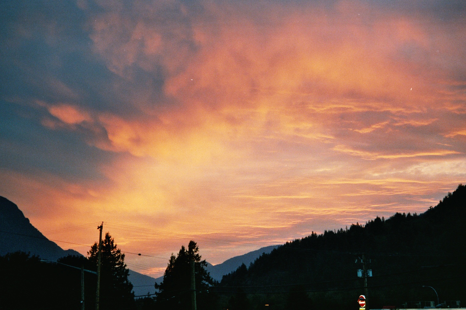
Sunset in Hope
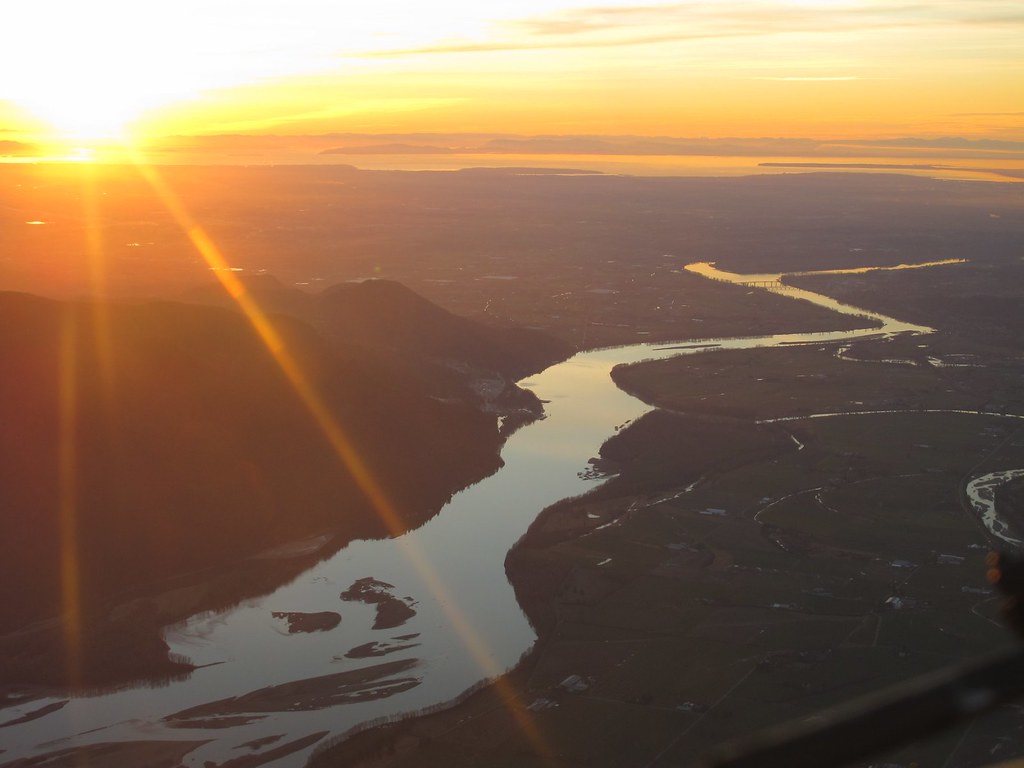
Lower Mainland Sunset
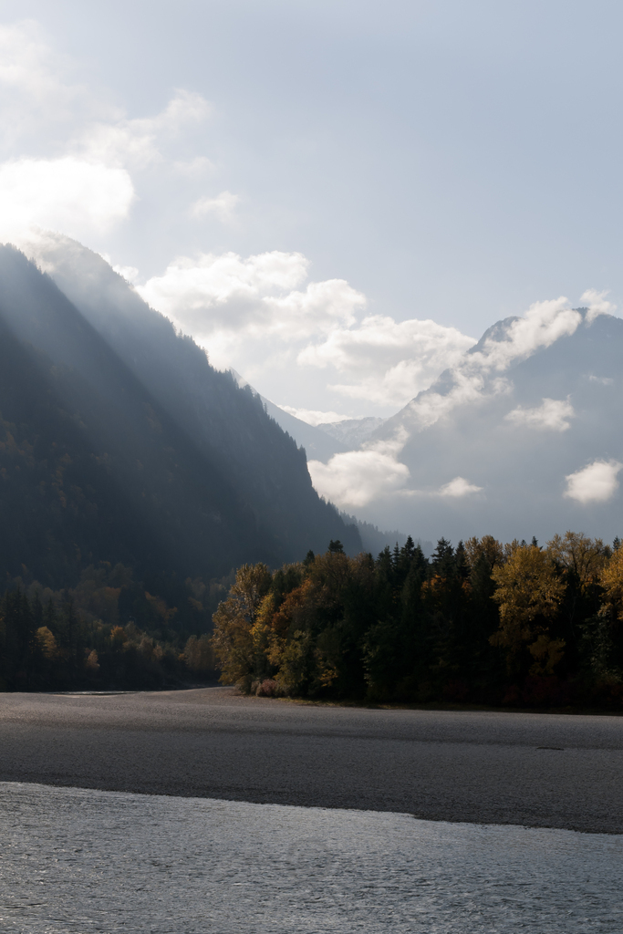
Morning Rays in Hope

Hope BC at sunrise
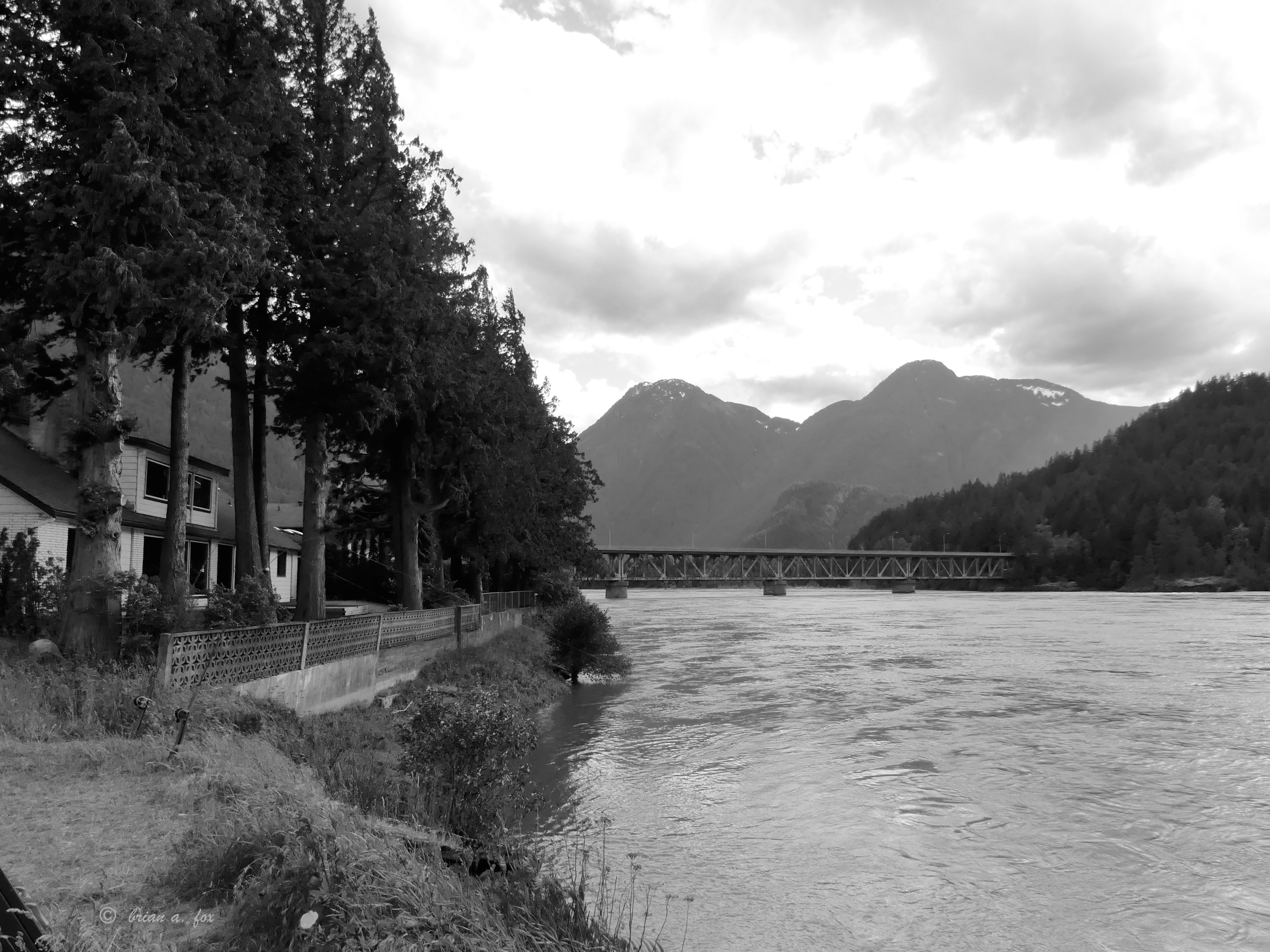
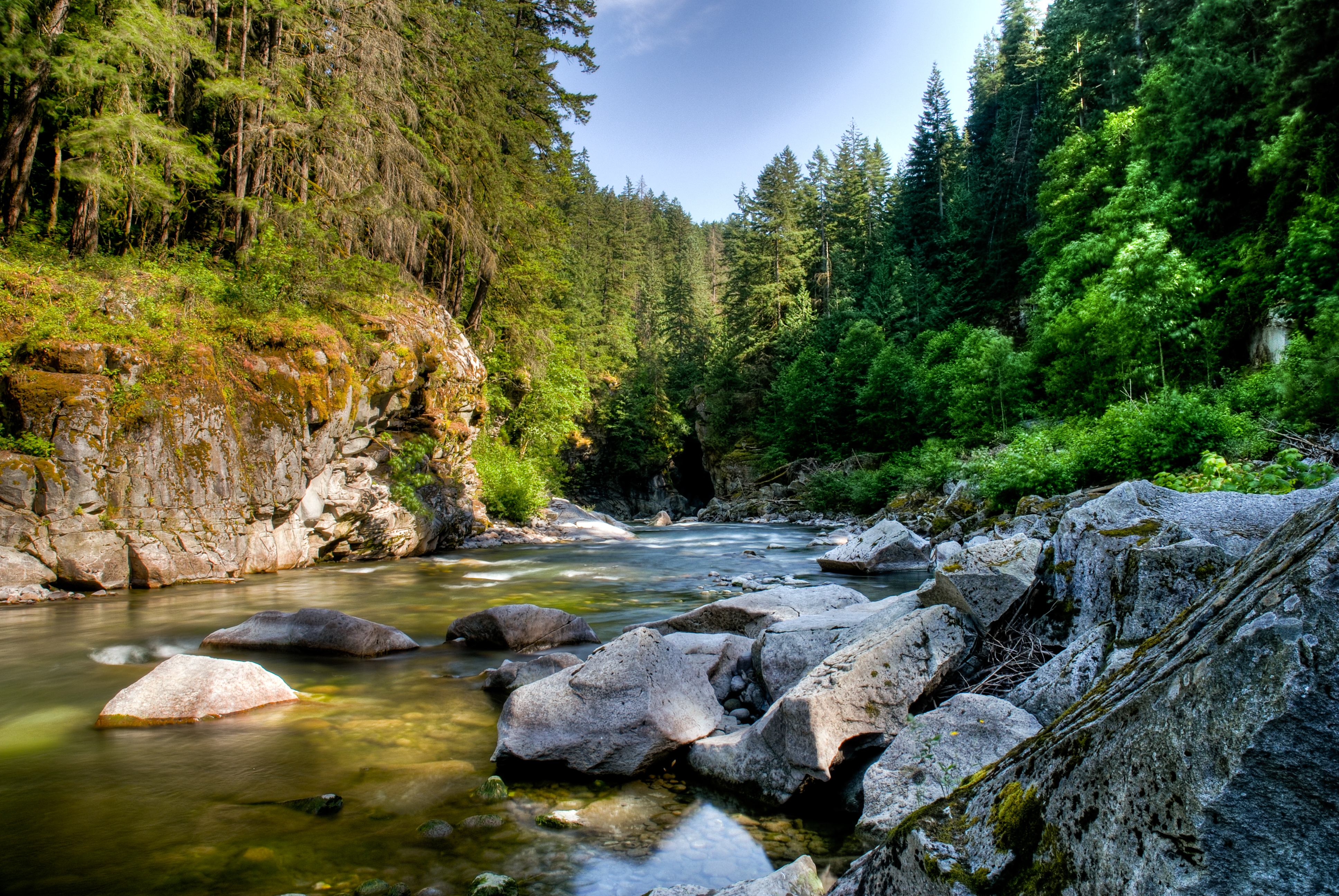
Fraser River Bridge
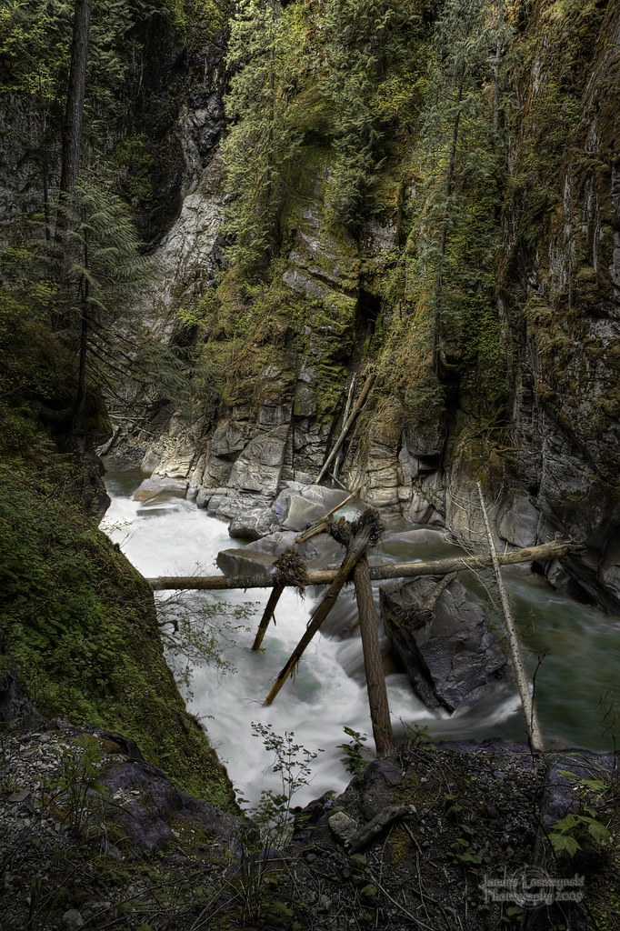
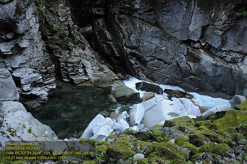
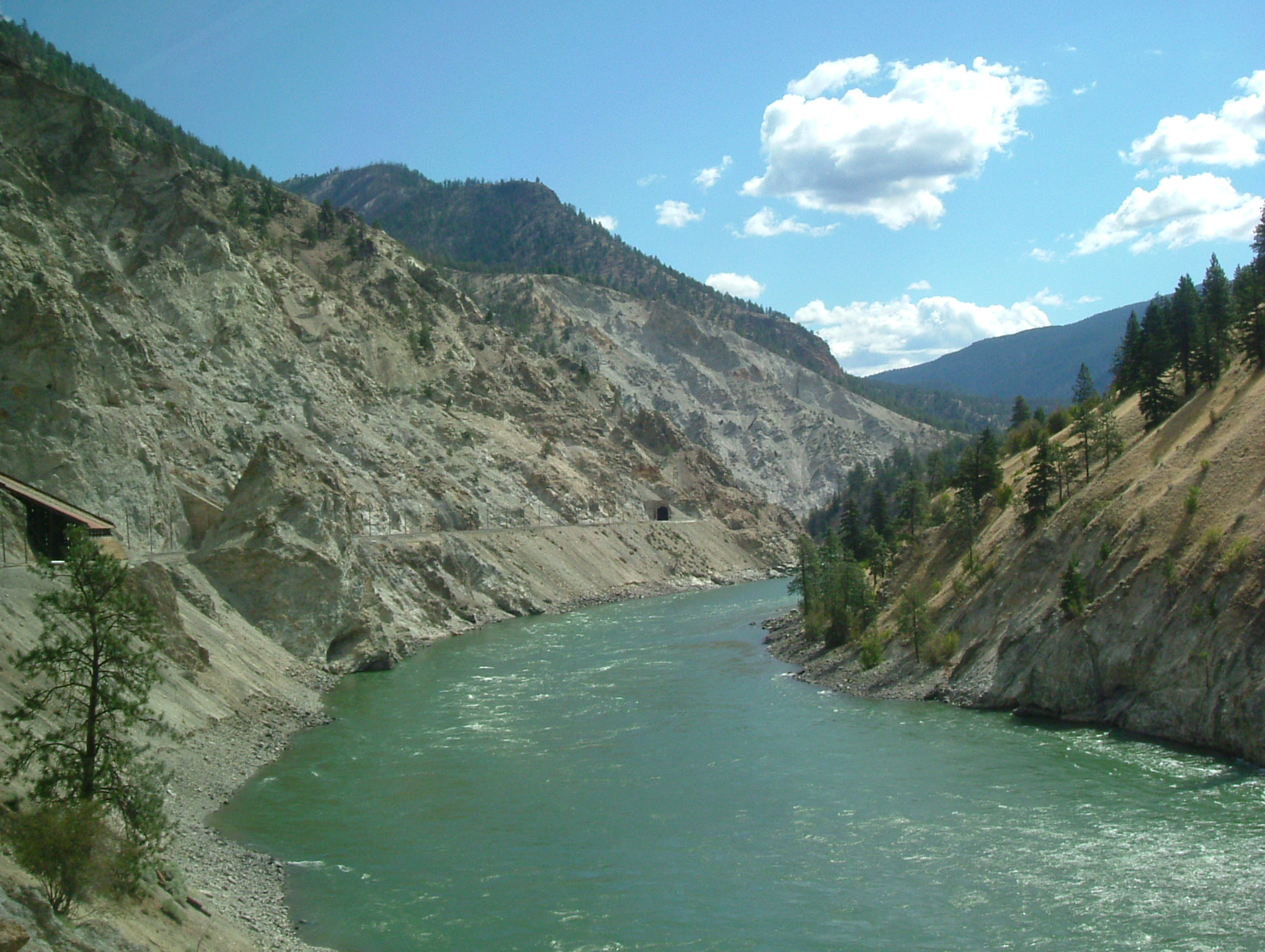
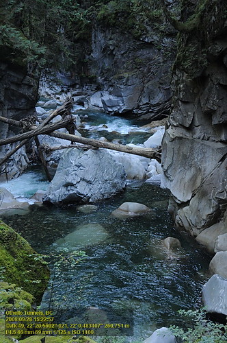
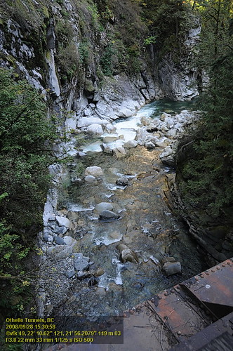
Coquihalla River
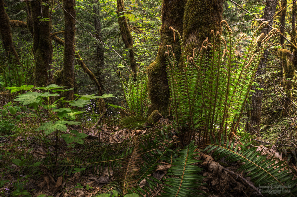
Wonders of our rain forest
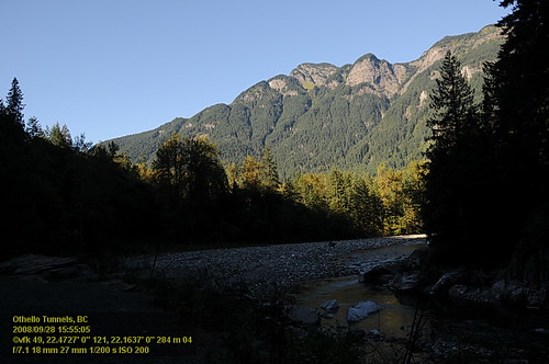
OthelloTunnels (67).JPG
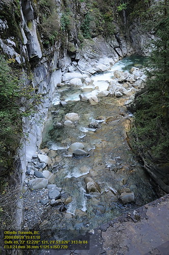
Coquihalla River Heading Into Othello Tunnels
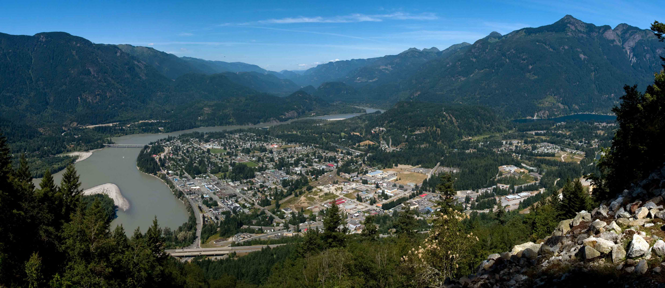
Hope Panorama
Othello Tunnels VF2_8776.JPG

OthelloTunnels (68).JPG
Othello Tunnels VF2_8742.JPG
Othello Tunnels VF2_8798.JPG
Othello Tunnels VF2_8799.JPG
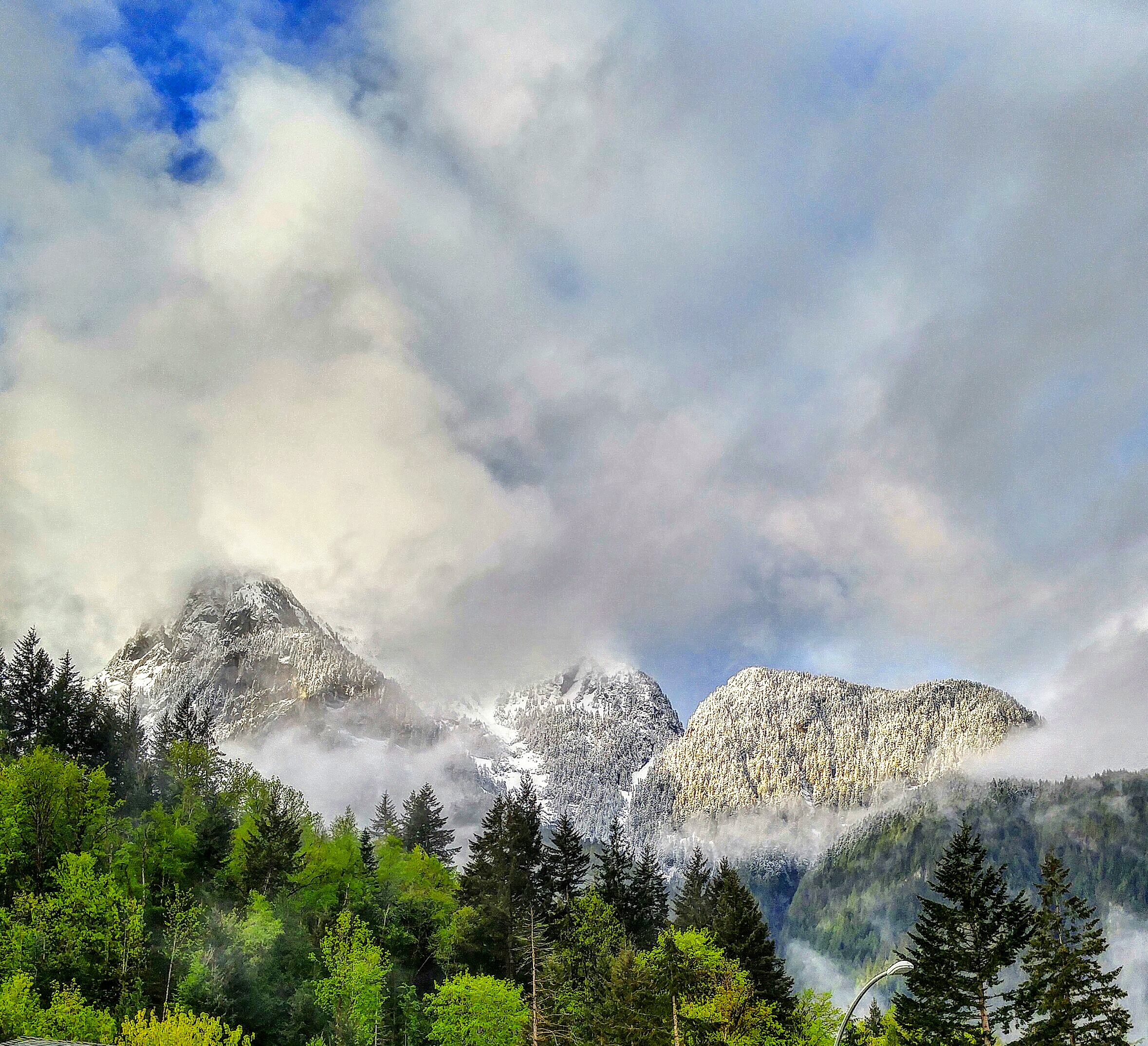
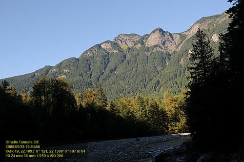
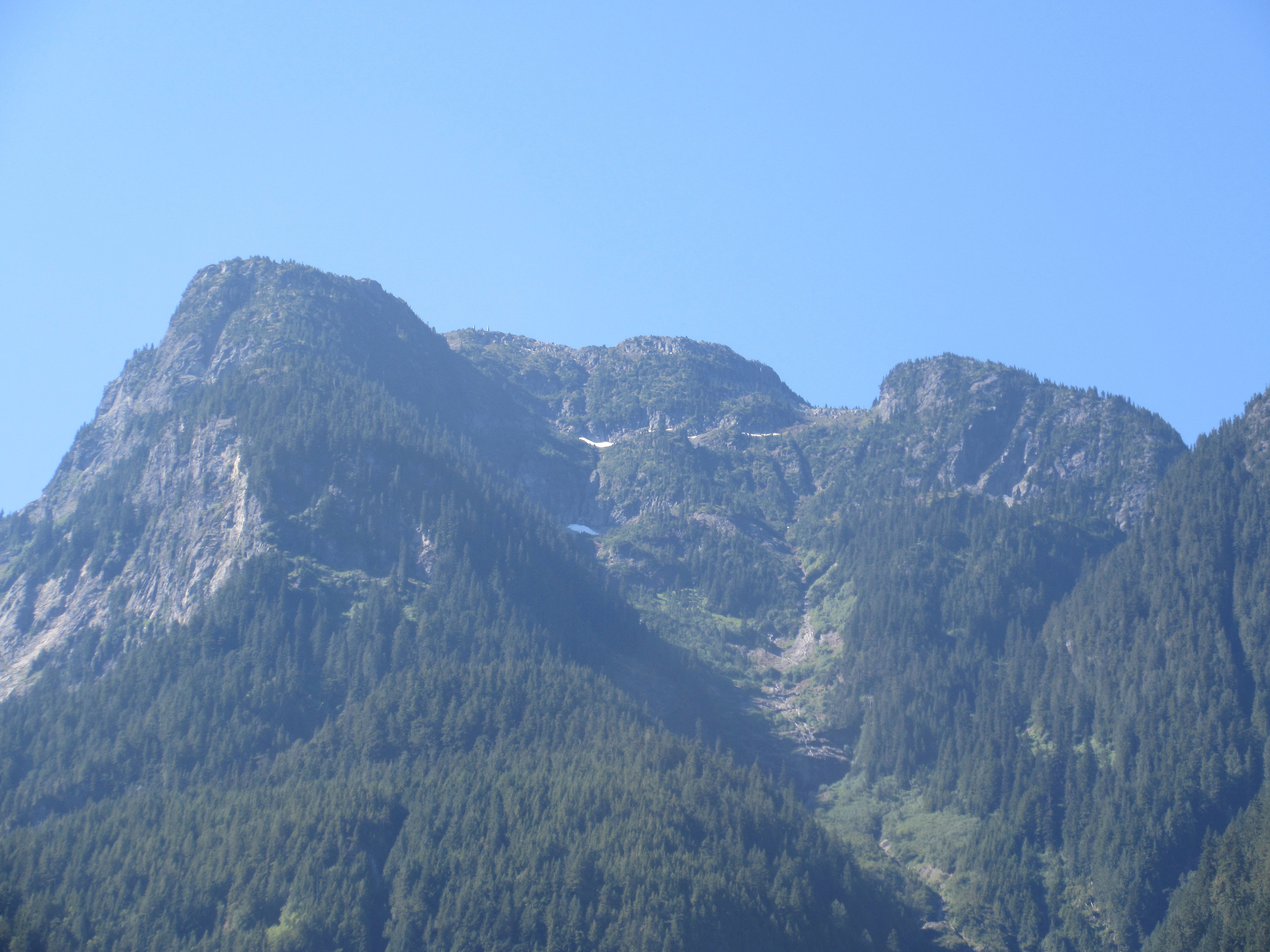
mountain view
View back to tunnel and covers for rock fall over track
North To Alaska set001 20060801_012.jpg

Fraser River at Bristol Island
View from the parking lot (see the tarn?)

Truck - Trans Canada Hwy, British Columbia
Othello Tunnels VF2_8744.JPG
Othello Tunnels VF2_8753.JPG
Flood Hope Rd, Hope, BC V0X 1L2, Canada Map
Search another place
Near Places
Edwards Dr, Hope, BC V0X 1L2, Canada
Beacon Rd, Hope, BC V0X 1L2, Canada
Old Yale Rd, Hope, BC V0X 1L2, Canada
Silverhope Rd, Hope, BC V0X 1L2, Canada
Silverhope Rd, Hope, BC V0X 1L2, Canada
Flood Hope Road, Flood Hope Rd, Hope, BC V0X, Canada
Hope, BC, Canada
Hope, BC, Canada
Floods, BC V0X 1L2, Canada
Flood Hope Rd, Hope, BC V0X 1L2, Canada
Flood Hope Rd, Hope, BC V0X 1L0, Canada
Richmond Dr, Hope, BC V0X 1L1, Canada
Thacker Mountain Rd, Hope, BC V0X 1L1, Canada
Hope Mountain, Fraser Valley B, BC V0X, Canada
Kawkawa Lake Rd, Hope, BC V0X 1L1, Canada
Silver Peak, Fraser Valley B, BC V0X, Canada
Kettle Valley Rd, Hope, BC V0X 1L1, Canada
Isolillock Peak, Fraser Valley B, BC V0X, Canada
Othello Rd, Hope, BC V0X 1L1, Canada
Hunter Peak, Fraser Valley D, BC V0X, Canada
Recent Searches
- Sunrise Sunset Times of Oge port Ferry Terminal, -1 Sekizenōge, Imabari, Ehime -, Japan
- Sunrise Sunset Times of San Telmo, Buenos Aires, Argentina
- Sunrise Sunset Times of Congressional Dr, Stevensville, MD, USA
- Sunrise Sunset Times of Papingo 04, Greece
- Sunrise Sunset Times of Pagonija rock, Kranto 7-oji g. 8"N, Kaunas, Lithuania
- Sunrise Sunset Times of Co Rd 87, Jamestown, CO, USA
- Sunrise Sunset Times of Tenjo, Cundinamarca, Colombia
- Sunrise Sunset Times of -1 Gosho, Ichihara, Chiba -, Japan
- Sunrise Sunset Times of -, Japan
- Sunrise Sunset Times of Spaceport America, Co Rd A, Truth or Consequences, NM, USA