Horas de salida y puesta de sol de Whitaker Dr, Milton, IN, EE. UU.
Location: Estados Unidos > Indiana > Condado de Wayne > Municipio de Washington > Milton >
Zona horaria:
America/New_York
Hora local:
2024-05-05 21:38:42
Longitud:
-85.131878
Latitud:
39.7222409
Salida de sol de hoy:
06:33:57 AM
Puesta de sol de hoy:
08:40:13 PM
La duración del día hoy:
14h 6m 16s
Salida de sol de mañana:
06:32:51 AM
Puesta de sol de mañana:
08:41:12 PM
La duración del día mañana:
14h 8m 21s
Mostrar todas las fechas
| Fecha | Salida de sol | Puesta de sol | Duración del día |
|---|---|---|---|
| 01/01/2024 | 08:01:30 AM | 05:27:05 PM | 9h 25m 35s |
| 02/01/2024 | 08:01:36 AM | 05:27:56 PM | 9h 26m 20s |
| 03/01/2024 | 08:01:39 AM | 05:28:48 PM | 9h 27m 9s |
| 04/01/2024 | 08:01:39 AM | 05:29:41 PM | 9h 28m 2s |
| 05/01/2024 | 08:01:38 AM | 05:30:36 PM | 9h 28m 58s |
| 06/01/2024 | 08:01:35 AM | 05:31:32 PM | 9h 29m 57s |
| 07/01/2024 | 08:01:29 AM | 05:32:29 PM | 9h 31m 0s |
| 08/01/2024 | 08:01:21 AM | 05:33:27 PM | 9h 32m 6s |
| 09/01/2024 | 08:01:11 AM | 05:34:27 PM | 9h 33m 16s |
| 10/01/2024 | 08:00:59 AM | 05:35:28 PM | 9h 34m 29s |
| 11/01/2024 | 08:00:44 AM | 05:36:29 PM | 9h 35m 45s |
| 12/01/2024 | 08:00:28 AM | 05:37:32 PM | 9h 37m 4s |
| 13/01/2024 | 08:00:09 AM | 05:38:35 PM | 9h 38m 26s |
| 14/01/2024 | 07:59:48 AM | 05:39:40 PM | 9h 39m 52s |
| 15/01/2024 | 07:59:25 AM | 05:40:45 PM | 9h 41m 20s |
| 16/01/2024 | 07:59:00 AM | 05:41:51 PM | 9h 42m 51s |
| 17/01/2024 | 07:58:32 AM | 05:42:57 PM | 9h 44m 25s |
| 18/01/2024 | 07:58:03 AM | 05:44:05 PM | 9h 46m 2s |
| 19/01/2024 | 07:57:31 AM | 05:45:13 PM | 9h 47m 42s |
| 20/01/2024 | 07:56:58 AM | 05:46:21 PM | 9h 49m 23s |
| 21/01/2024 | 07:56:23 AM | 05:47:30 PM | 9h 51m 7s |
| 22/01/2024 | 07:55:45 AM | 05:48:39 PM | 9h 52m 54s |
| 23/01/2024 | 07:55:06 AM | 05:49:49 PM | 9h 54m 43s |
| 24/01/2024 | 07:54:24 AM | 05:50:59 PM | 9h 56m 35s |
| 25/01/2024 | 07:53:41 AM | 05:52:10 PM | 9h 58m 29s |
| 26/01/2024 | 07:52:56 AM | 05:53:20 PM | 10h 0m 24s |
| 27/01/2024 | 07:52:09 AM | 05:54:31 PM | 10h 2m 22s |
| 28/01/2024 | 07:51:20 AM | 05:55:42 PM | 10h 4m 22s |
| 29/01/2024 | 07:50:30 AM | 05:56:54 PM | 10h 6m 24s |
| 30/01/2024 | 07:49:38 AM | 05:58:05 PM | 10h 8m 27s |
| 31/01/2024 | 07:48:44 AM | 05:59:17 PM | 10h 10m 33s |
| 01/02/2024 | 07:47:48 AM | 06:00:28 PM | 10h 12m 40s |
| 02/02/2024 | 07:46:50 AM | 06:01:40 PM | 10h 14m 50s |
| 03/02/2024 | 07:45:51 AM | 06:02:51 PM | 10h 17m 0s |
| 04/02/2024 | 07:44:51 AM | 06:04:03 PM | 10h 19m 12s |
| 05/02/2024 | 07:43:49 AM | 06:05:14 PM | 10h 21m 25s |
| 06/02/2024 | 07:42:45 AM | 06:06:26 PM | 10h 23m 41s |
| 07/02/2024 | 07:41:40 AM | 06:07:37 PM | 10h 25m 57s |
| 08/02/2024 | 07:40:34 AM | 06:08:48 PM | 10h 28m 14s |
| 09/02/2024 | 07:39:26 AM | 06:09:59 PM | 10h 30m 33s |
| 10/02/2024 | 07:38:16 AM | 06:11:10 PM | 10h 32m 54s |
| 11/02/2024 | 07:37:05 AM | 06:12:20 PM | 10h 35m 15s |
| 12/02/2024 | 07:35:53 AM | 06:13:31 PM | 10h 37m 38s |
| 13/02/2024 | 07:34:40 AM | 06:14:41 PM | 10h 40m 1s |
| 14/02/2024 | 07:33:26 AM | 06:15:51 PM | 10h 42m 25s |
| 15/02/2024 | 07:32:10 AM | 06:17:01 PM | 10h 44m 51s |
| 16/02/2024 | 07:30:53 AM | 06:18:10 PM | 10h 47m 17s |
| 17/02/2024 | 07:29:35 AM | 06:19:19 PM | 10h 49m 44s |
| 18/02/2024 | 07:28:16 AM | 06:20:28 PM | 10h 52m 12s |
| 19/02/2024 | 07:26:56 AM | 06:21:37 PM | 10h 54m 41s |
| 20/02/2024 | 07:25:35 AM | 06:22:45 PM | 10h 57m 10s |
| 21/02/2024 | 07:24:12 AM | 06:23:53 PM | 10h 59m 41s |
| 22/02/2024 | 07:22:49 AM | 06:25:01 PM | 11h 2m 12s |
| 23/02/2024 | 07:21:25 AM | 06:26:08 PM | 11h 4m 43s |
| 24/02/2024 | 07:20:00 AM | 06:27:15 PM | 11h 7m 15s |
| 25/02/2024 | 07:18:34 AM | 06:28:22 PM | 11h 9m 48s |
| 26/02/2024 | 07:17:08 AM | 06:29:28 PM | 11h 12m 20s |
| 27/02/2024 | 07:15:40 AM | 06:30:35 PM | 11h 14m 55s |
| 28/02/2024 | 07:14:12 AM | 06:31:40 PM | 11h 17m 28s |
| 29/02/2024 | 07:12:43 AM | 06:32:46 PM | 11h 20m 3s |
| 01/03/2024 | 07:11:14 AM | 06:33:51 PM | 11h 22m 37s |
| 02/03/2024 | 07:09:43 AM | 06:34:56 PM | 11h 25m 13s |
| 03/03/2024 | 07:08:13 AM | 06:36:01 PM | 11h 27m 48s |
| 04/03/2024 | 07:06:41 AM | 06:37:05 PM | 11h 30m 24s |
| 05/03/2024 | 07:05:09 AM | 06:38:09 PM | 11h 33m 0s |
| 06/03/2024 | 07:03:37 AM | 06:39:13 PM | 11h 35m 36s |
| 07/03/2024 | 07:02:04 AM | 06:40:17 PM | 11h 38m 13s |
| 08/03/2024 | 07:00:30 AM | 06:41:20 PM | 11h 40m 50s |
| 09/03/2024 | 06:58:56 AM | 06:42:23 PM | 11h 43m 27s |
| 10/03/2024 | 07:57:26 AM | 07:43:23 PM | 11h 45m 57s |
| 11/03/2024 | 07:55:51 AM | 07:44:26 PM | 11h 48m 35s |
| 12/03/2024 | 07:54:16 AM | 07:45:28 PM | 11h 51m 12s |
| 13/03/2024 | 07:52:41 AM | 07:46:30 PM | 11h 53m 49s |
| 14/03/2024 | 07:51:05 AM | 07:47:32 PM | 11h 56m 27s |
| 15/03/2024 | 07:49:29 AM | 07:48:34 PM | 11h 59m 5s |
| 16/03/2024 | 07:47:53 AM | 07:49:36 PM | 12h 1m 43s |
| 17/03/2024 | 07:46:17 AM | 07:50:37 PM | 12h 4m 20s |
| 18/03/2024 | 07:44:40 AM | 07:51:38 PM | 12h 6m 58s |
| 19/03/2024 | 07:43:04 AM | 07:52:39 PM | 12h 9m 35s |
| 20/03/2024 | 07:41:27 AM | 07:53:40 PM | 12h 12m 13s |
| 21/03/2024 | 07:39:51 AM | 07:54:41 PM | 12h 14m 50s |
| 22/03/2024 | 07:38:14 AM | 07:55:42 PM | 12h 17m 28s |
| 23/03/2024 | 07:36:37 AM | 07:56:42 PM | 12h 20m 5s |
| 24/03/2024 | 07:35:01 AM | 07:57:43 PM | 12h 22m 42s |
| 25/03/2024 | 07:33:24 AM | 07:58:43 PM | 12h 25m 19s |
| 26/03/2024 | 07:31:47 AM | 07:59:44 PM | 12h 27m 57s |
| 27/03/2024 | 07:30:11 AM | 08:00:44 PM | 12h 30m 33s |
| 28/03/2024 | 07:28:35 AM | 08:01:44 PM | 12h 33m 9s |
| 29/03/2024 | 07:26:59 AM | 08:02:44 PM | 12h 35m 45s |
| 30/03/2024 | 07:25:23 AM | 08:03:44 PM | 12h 38m 21s |
| 31/03/2024 | 07:23:47 AM | 08:04:44 PM | 12h 40m 57s |
| 01/04/2024 | 07:22:12 AM | 08:05:44 PM | 12h 43m 32s |
| 02/04/2024 | 07:20:37 AM | 08:06:44 PM | 12h 46m 7s |
| 03/04/2024 | 07:19:02 AM | 08:07:44 PM | 12h 48m 42s |
| 04/04/2024 | 07:17:28 AM | 08:08:44 PM | 12h 51m 16s |
| 05/04/2024 | 07:15:54 AM | 08:09:44 PM | 12h 53m 50s |
| 06/04/2024 | 07:14:20 AM | 08:10:44 PM | 12h 56m 24s |
| 07/04/2024 | 07:12:47 AM | 08:11:44 PM | 12h 58m 57s |
| 08/04/2024 | 07:11:15 AM | 08:12:44 PM | 13h 1m 29s |
| 09/04/2024 | 07:09:43 AM | 08:13:44 PM | 13h 4m 1s |
| 10/04/2024 | 07:08:11 AM | 08:14:44 PM | 13h 6m 33s |
| 11/04/2024 | 07:06:40 AM | 08:15:44 PM | 13h 9m 4s |
| 12/04/2024 | 07:05:10 AM | 08:16:44 PM | 13h 11m 34s |
| 13/04/2024 | 07:03:40 AM | 08:17:44 PM | 13h 14m 4s |
| 14/04/2024 | 07:02:11 AM | 08:18:44 PM | 13h 16m 33s |
| 15/04/2024 | 07:00:43 AM | 08:19:45 PM | 13h 19m 2s |
| 16/04/2024 | 06:59:15 AM | 08:20:45 PM | 13h 21m 30s |
| 17/04/2024 | 06:57:48 AM | 08:21:45 PM | 13h 23m 57s |
| 18/04/2024 | 06:56:22 AM | 08:22:45 PM | 13h 26m 23s |
| 19/04/2024 | 06:54:57 AM | 08:23:45 PM | 13h 28m 48s |
| 20/04/2024 | 06:53:32 AM | 08:24:46 PM | 13h 31m 14s |
| 21/04/2024 | 06:52:09 AM | 08:25:46 PM | 13h 33m 37s |
| 22/04/2024 | 06:50:46 AM | 08:26:46 PM | 13h 36m 0s |
| 23/04/2024 | 06:49:25 AM | 08:27:46 PM | 13h 38m 21s |
| 24/04/2024 | 06:48:04 AM | 08:28:47 PM | 13h 40m 43s |
| 25/04/2024 | 06:46:44 AM | 08:29:47 PM | 13h 43m 3s |
| 26/04/2024 | 06:45:26 AM | 08:30:47 PM | 13h 45m 21s |
| 27/04/2024 | 06:44:08 AM | 08:31:47 PM | 13h 47m 39s |
| 28/04/2024 | 06:42:52 AM | 08:32:47 PM | 13h 49m 55s |
| 29/04/2024 | 06:41:37 AM | 08:33:47 PM | 13h 52m 10s |
| 30/04/2024 | 06:40:22 AM | 08:34:47 PM | 13h 54m 25s |
| 01/05/2024 | 06:39:09 AM | 08:35:47 PM | 13h 56m 38s |
| 02/05/2024 | 06:37:58 AM | 08:36:46 PM | 13h 58m 48s |
| 03/05/2024 | 06:36:47 AM | 08:37:46 PM | 14h 0m 59s |
| 04/05/2024 | 06:35:38 AM | 08:38:45 PM | 14h 3m 7s |
| 05/05/2024 | 06:34:30 AM | 08:39:44 PM | 14h 5m 14s |
| 06/05/2024 | 06:33:24 AM | 08:40:43 PM | 14h 7m 19s |
| 07/05/2024 | 06:32:19 AM | 08:41:41 PM | 14h 9m 22s |
| 08/05/2024 | 06:31:15 AM | 08:42:40 PM | 14h 11m 25s |
| 09/05/2024 | 06:30:13 AM | 08:43:38 PM | 14h 13m 25s |
| 10/05/2024 | 06:29:12 AM | 08:44:35 PM | 14h 15m 23s |
| 11/05/2024 | 06:28:13 AM | 08:45:33 PM | 14h 17m 20s |
| 12/05/2024 | 06:27:15 AM | 08:46:30 PM | 14h 19m 15s |
| 13/05/2024 | 06:26:19 AM | 08:47:26 PM | 14h 21m 7s |
| 14/05/2024 | 06:25:24 AM | 08:48:22 PM | 14h 22m 58s |
| 15/05/2024 | 06:24:31 AM | 08:49:18 PM | 14h 24m 47s |
| 16/05/2024 | 06:23:40 AM | 08:50:13 PM | 14h 26m 33s |
| 17/05/2024 | 06:22:50 AM | 08:51:08 PM | 14h 28m 18s |
| 18/05/2024 | 06:22:02 AM | 08:52:02 PM | 14h 30m 0s |
| 19/05/2024 | 06:21:16 AM | 08:52:55 PM | 14h 31m 39s |
| 20/05/2024 | 06:20:31 AM | 08:53:48 PM | 14h 33m 17s |
| 21/05/2024 | 06:19:48 AM | 08:54:40 PM | 14h 34m 52s |
| 22/05/2024 | 06:19:07 AM | 08:55:31 PM | 14h 36m 24s |
| 23/05/2024 | 06:18:28 AM | 08:56:22 PM | 14h 37m 54s |
| 24/05/2024 | 06:17:50 AM | 08:57:12 PM | 14h 39m 22s |
| 25/05/2024 | 06:17:14 AM | 08:58:01 PM | 14h 40m 47s |
| 26/05/2024 | 06:16:41 AM | 08:58:49 PM | 14h 42m 8s |
| 27/05/2024 | 06:16:09 AM | 08:59:36 PM | 14h 43m 27s |
| 28/05/2024 | 06:15:38 AM | 09:00:22 PM | 14h 44m 44s |
| 29/05/2024 | 06:15:10 AM | 09:01:07 PM | 14h 45m 57s |
| 30/05/2024 | 06:14:44 AM | 09:01:51 PM | 14h 47m 7s |
| 31/05/2024 | 06:14:19 AM | 09:02:34 PM | 14h 48m 15s |
| 01/06/2024 | 06:13:57 AM | 09:03:16 PM | 14h 49m 19s |
| 02/06/2024 | 06:13:36 AM | 09:03:56 PM | 14h 50m 20s |
| 03/06/2024 | 06:13:17 AM | 09:04:36 PM | 14h 51m 19s |
| 04/06/2024 | 06:13:00 AM | 09:05:14 PM | 14h 52m 14s |
| 05/06/2024 | 06:12:45 AM | 09:05:51 PM | 14h 53m 6s |
| 06/06/2024 | 06:12:32 AM | 09:06:26 PM | 14h 53m 54s |
| 07/06/2024 | 06:12:21 AM | 09:07:00 PM | 14h 54m 39s |
| 08/06/2024 | 06:12:12 AM | 09:07:33 PM | 14h 55m 21s |
| 09/06/2024 | 06:12:05 AM | 09:08:04 PM | 14h 55m 59s |
| 10/06/2024 | 06:12:00 AM | 09:08:34 PM | 14h 56m 34s |
| 11/06/2024 | 06:11:56 AM | 09:09:02 PM | 14h 57m 6s |
| 12/06/2024 | 06:11:55 AM | 09:09:29 PM | 14h 57m 34s |
| 13/06/2024 | 06:11:55 AM | 09:09:54 PM | 14h 57m 59s |
| 14/06/2024 | 06:11:58 AM | 09:10:17 PM | 14h 58m 19s |
| 15/06/2024 | 06:12:02 AM | 09:10:39 PM | 14h 58m 37s |
| 16/06/2024 | 06:12:08 AM | 09:10:59 PM | 14h 58m 51s |
| 17/06/2024 | 06:12:16 AM | 09:11:17 PM | 14h 59m 1s |
| 18/06/2024 | 06:12:25 AM | 09:11:34 PM | 14h 59m 9s |
| 19/06/2024 | 06:12:37 AM | 09:11:49 PM | 14h 59m 12s |
| 20/06/2024 | 06:12:50 AM | 09:12:02 PM | 14h 59m 12s |
| 21/06/2024 | 06:13:05 AM | 09:12:13 PM | 14h 59m 8s |
| 22/06/2024 | 06:13:21 AM | 09:12:22 PM | 14h 59m 1s |
| 23/06/2024 | 06:13:39 AM | 09:12:30 PM | 14h 58m 51s |
| 24/06/2024 | 06:13:59 AM | 09:12:35 PM | 14h 58m 36s |
| 25/06/2024 | 06:14:21 AM | 09:12:39 PM | 14h 58m 18s |
| 26/06/2024 | 06:14:44 AM | 09:12:40 PM | 14h 57m 56s |
| 27/06/2024 | 06:15:09 AM | 09:12:40 PM | 14h 57m 31s |
| 28/06/2024 | 06:15:35 AM | 09:12:38 PM | 14h 57m 3s |
| 29/06/2024 | 06:16:03 AM | 09:12:34 PM | 14h 56m 31s |
| 30/06/2024 | 06:16:32 AM | 09:12:28 PM | 14h 55m 56s |
| 01/07/2024 | 06:17:02 AM | 09:12:20 PM | 14h 55m 18s |
| 02/07/2024 | 06:17:34 AM | 09:12:10 PM | 14h 54m 36s |
| 03/07/2024 | 06:18:08 AM | 09:11:58 PM | 14h 53m 50s |
| 04/07/2024 | 06:18:42 AM | 09:11:44 PM | 14h 53m 2s |
| 05/07/2024 | 06:19:18 AM | 09:11:28 PM | 14h 52m 10s |
| 06/07/2024 | 06:19:55 AM | 09:11:11 PM | 14h 51m 16s |
| 07/07/2024 | 06:20:33 AM | 09:10:51 PM | 14h 50m 18s |
| 08/07/2024 | 06:21:13 AM | 09:10:29 PM | 14h 49m 16s |
| 09/07/2024 | 06:21:53 AM | 09:10:05 PM | 14h 48m 12s |
| 10/07/2024 | 06:22:35 AM | 09:09:40 PM | 14h 47m 5s |
| 11/07/2024 | 06:23:17 AM | 09:09:12 PM | 14h 45m 55s |
| 12/07/2024 | 06:24:01 AM | 09:08:43 PM | 14h 44m 42s |
| 13/07/2024 | 06:24:45 AM | 09:08:11 PM | 14h 43m 26s |
| 14/07/2024 | 06:25:31 AM | 09:07:38 PM | 14h 42m 7s |
| 15/07/2024 | 06:26:17 AM | 09:07:03 PM | 14h 40m 46s |
| 16/07/2024 | 06:27:04 AM | 09:06:26 PM | 14h 39m 22s |
| 17/07/2024 | 06:27:52 AM | 09:05:47 PM | 14h 37m 55s |
| 18/07/2024 | 06:28:40 AM | 09:05:06 PM | 14h 36m 26s |
| 19/07/2024 | 06:29:30 AM | 09:04:23 PM | 14h 34m 53s |
| 20/07/2024 | 06:30:20 AM | 09:03:39 PM | 14h 33m 19s |
| 21/07/2024 | 06:31:10 AM | 09:02:53 PM | 14h 31m 43s |
| 22/07/2024 | 06:32:01 AM | 09:02:05 PM | 14h 30m 4s |
| 23/07/2024 | 06:32:53 AM | 09:01:16 PM | 14h 28m 23s |
| 24/07/2024 | 06:33:45 AM | 09:00:25 PM | 14h 26m 40s |
| 25/07/2024 | 06:34:38 AM | 08:59:32 PM | 14h 24m 54s |
| 26/07/2024 | 06:35:31 AM | 08:58:37 PM | 14h 23m 6s |
| 27/07/2024 | 06:36:24 AM | 08:57:41 PM | 14h 21m 17s |
| 28/07/2024 | 06:37:18 AM | 08:56:43 PM | 14h 19m 25s |
| 29/07/2024 | 06:38:12 AM | 08:55:44 PM | 14h 17m 32s |
| 30/07/2024 | 06:39:07 AM | 08:54:43 PM | 14h 15m 36s |
| 31/07/2024 | 06:40:01 AM | 08:53:41 PM | 14h 13m 40s |
| 01/08/2024 | 06:40:56 AM | 08:52:37 PM | 14h 11m 41s |
| 02/08/2024 | 06:41:52 AM | 08:51:32 PM | 14h 9m 40s |
| 03/08/2024 | 06:42:47 AM | 08:50:25 PM | 14h 7m 38s |
| 04/08/2024 | 06:43:43 AM | 08:49:17 PM | 14h 5m 34s |
| 05/08/2024 | 06:44:39 AM | 08:48:08 PM | 14h 3m 29s |
| 06/08/2024 | 06:45:35 AM | 08:46:57 PM | 14h 1m 22s |
| 07/08/2024 | 06:46:31 AM | 08:45:45 PM | 13h 59m 14s |
| 08/08/2024 | 06:47:27 AM | 08:44:32 PM | 13h 57m 5s |
| 09/08/2024 | 06:48:23 AM | 08:43:17 PM | 13h 54m 54s |
| 10/08/2024 | 06:49:20 AM | 08:42:01 PM | 13h 52m 41s |
| 11/08/2024 | 06:50:16 AM | 08:40:45 PM | 13h 50m 29s |
| 12/08/2024 | 06:51:13 AM | 08:39:26 PM | 13h 48m 13s |
| 13/08/2024 | 06:52:09 AM | 08:38:07 PM | 13h 45m 58s |
| 14/08/2024 | 06:53:06 AM | 08:36:47 PM | 13h 43m 41s |
| 15/08/2024 | 06:54:02 AM | 08:35:26 PM | 13h 41m 24s |
| 16/08/2024 | 06:54:58 AM | 08:34:03 PM | 13h 39m 5s |
| 17/08/2024 | 06:55:55 AM | 08:32:40 PM | 13h 36m 45s |
| 18/08/2024 | 06:56:51 AM | 08:31:16 PM | 13h 34m 25s |
| 19/08/2024 | 06:57:48 AM | 08:29:51 PM | 13h 32m 3s |
| 20/08/2024 | 06:58:44 AM | 08:28:25 PM | 13h 29m 41s |
| 21/08/2024 | 06:59:40 AM | 08:26:58 PM | 13h 27m 18s |
| 22/08/2024 | 07:00:37 AM | 08:25:30 PM | 13h 24m 53s |
| 23/08/2024 | 07:01:33 AM | 08:24:01 PM | 13h 22m 28s |
| 24/08/2024 | 07:02:29 AM | 08:22:32 PM | 13h 20m 3s |
| 25/08/2024 | 07:03:25 AM | 08:21:02 PM | 13h 17m 37s |
| 26/08/2024 | 07:04:21 AM | 08:19:31 PM | 13h 15m 10s |
| 27/08/2024 | 07:05:17 AM | 08:18:00 PM | 13h 12m 43s |
| 28/08/2024 | 07:06:13 AM | 08:16:27 PM | 13h 10m 14s |
| 29/08/2024 | 07:07:09 AM | 08:14:55 PM | 13h 7m 46s |
| 30/08/2024 | 07:08:05 AM | 08:13:21 PM | 13h 5m 16s |
| 31/08/2024 | 07:09:00 AM | 08:11:47 PM | 13h 2m 47s |
| 01/09/2024 | 07:09:56 AM | 08:10:13 PM | 13h 0m 17s |
| 02/09/2024 | 07:10:52 AM | 08:08:38 PM | 12h 57m 46s |
| 03/09/2024 | 07:11:47 AM | 08:07:03 PM | 12h 55m 16s |
| 04/09/2024 | 07:12:43 AM | 08:05:27 PM | 12h 52m 44s |
| 05/09/2024 | 07:13:39 AM | 08:03:51 PM | 12h 50m 12s |
| 06/09/2024 | 07:14:34 AM | 08:02:14 PM | 12h 47m 40s |
| 07/09/2024 | 07:15:30 AM | 08:00:37 PM | 12h 45m 7s |
| 08/09/2024 | 07:16:25 AM | 07:59:00 PM | 12h 42m 35s |
| 09/09/2024 | 07:17:21 AM | 07:57:22 PM | 12h 40m 1s |
| 10/09/2024 | 07:18:16 AM | 07:55:44 PM | 12h 37m 28s |
| 11/09/2024 | 07:19:12 AM | 07:54:06 PM | 12h 34m 54s |
| 12/09/2024 | 07:20:08 AM | 07:52:28 PM | 12h 32m 20s |
| 13/09/2024 | 07:21:03 AM | 07:50:50 PM | 12h 29m 47s |
| 14/09/2024 | 07:21:59 AM | 07:49:11 PM | 12h 27m 12s |
| 15/09/2024 | 07:22:55 AM | 07:47:32 PM | 12h 24m 37s |
| 16/09/2024 | 07:23:51 AM | 07:45:54 PM | 12h 22m 3s |
| 17/09/2024 | 07:24:47 AM | 07:44:15 PM | 12h 19m 28s |
| 18/09/2024 | 07:25:43 AM | 07:42:36 PM | 12h 16m 53s |
| 19/09/2024 | 07:26:39 AM | 07:40:57 PM | 12h 14m 18s |
| 20/09/2024 | 07:27:35 AM | 07:39:18 PM | 12h 11m 43s |
| 21/09/2024 | 07:28:32 AM | 07:37:40 PM | 12h 9m 8s |
| 22/09/2024 | 07:29:28 AM | 07:36:01 PM | 12h 6m 33s |
| 23/09/2024 | 07:30:25 AM | 07:34:22 PM | 12h 3m 57s |
| 24/09/2024 | 07:31:22 AM | 07:32:44 PM | 12h 1m 22s |
| 25/09/2024 | 07:32:19 AM | 07:31:06 PM | 11h 58m 47s |
| 26/09/2024 | 07:33:16 AM | 07:29:28 PM | 11h 56m 12s |
| 27/09/2024 | 07:34:13 AM | 07:27:50 PM | 11h 53m 37s |
| 28/09/2024 | 07:35:11 AM | 07:26:13 PM | 11h 51m 2s |
| 29/09/2024 | 07:36:09 AM | 07:24:35 PM | 11h 48m 26s |
| 30/09/2024 | 07:37:07 AM | 07:22:59 PM | 11h 45m 52s |
| 01/10/2024 | 07:38:05 AM | 07:21:22 PM | 11h 43m 17s |
| 02/10/2024 | 07:39:04 AM | 07:19:46 PM | 11h 40m 42s |
| 03/10/2024 | 07:40:03 AM | 07:18:10 PM | 11h 38m 7s |
| 04/10/2024 | 07:41:02 AM | 07:16:35 PM | 11h 35m 33s |
| 05/10/2024 | 07:42:01 AM | 07:15:01 PM | 11h 33m 0s |
| 06/10/2024 | 07:43:01 AM | 07:13:26 PM | 11h 30m 25s |
| 07/10/2024 | 07:44:01 AM | 07:11:53 PM | 11h 27m 52s |
| 08/10/2024 | 07:45:01 AM | 07:10:20 PM | 11h 25m 19s |
| 09/10/2024 | 07:46:01 AM | 07:08:47 PM | 11h 22m 46s |
| 10/10/2024 | 07:47:02 AM | 07:07:16 PM | 11h 20m 14s |
| 11/10/2024 | 07:48:03 AM | 07:05:45 PM | 11h 17m 42s |
| 12/10/2024 | 07:49:05 AM | 07:04:14 PM | 11h 15m 9s |
| 13/10/2024 | 07:50:07 AM | 07:02:45 PM | 11h 12m 38s |
| 14/10/2024 | 07:51:09 AM | 07:01:16 PM | 11h 10m 7s |
| 15/10/2024 | 07:52:11 AM | 06:59:48 PM | 11h 7m 37s |
| 16/10/2024 | 07:53:14 AM | 06:58:20 PM | 11h 5m 6s |
| 17/10/2024 | 07:54:17 AM | 06:56:54 PM | 11h 2m 37s |
| 18/10/2024 | 07:55:21 AM | 06:55:29 PM | 11h 0m 8s |
| 19/10/2024 | 07:56:25 AM | 06:54:04 PM | 10h 57m 39s |
| 20/10/2024 | 07:57:29 AM | 06:52:41 PM | 10h 55m 12s |
| 21/10/2024 | 07:58:33 AM | 06:51:18 PM | 10h 52m 45s |
| 22/10/2024 | 07:59:38 AM | 06:49:57 PM | 10h 50m 19s |
| 23/10/2024 | 08:00:43 AM | 06:48:37 PM | 10h 47m 54s |
| 24/10/2024 | 08:01:48 AM | 06:47:17 PM | 10h 45m 29s |
| 25/10/2024 | 08:02:54 AM | 06:45:59 PM | 10h 43m 5s |
| 26/10/2024 | 08:04:00 AM | 06:44:42 PM | 10h 40m 42s |
| 27/10/2024 | 08:05:06 AM | 06:43:27 PM | 10h 38m 21s |
| 28/10/2024 | 08:06:13 AM | 06:42:12 PM | 10h 35m 59s |
| 29/10/2024 | 08:07:20 AM | 06:40:59 PM | 10h 33m 39s |
| 30/10/2024 | 08:08:27 AM | 06:39:47 PM | 10h 31m 20s |
| 31/10/2024 | 08:09:34 AM | 06:38:37 PM | 10h 29m 3s |
| 01/11/2024 | 08:10:42 AM | 06:37:28 PM | 10h 26m 46s |
| 02/11/2024 | 08:11:49 AM | 06:36:20 PM | 10h 24m 31s |
| 03/11/2024 | 07:13:00 AM | 05:35:11 PM | 10h 22m 11s |
| 04/11/2024 | 07:14:08 AM | 05:34:07 PM | 10h 19m 59s |
| 05/11/2024 | 07:15:16 AM | 05:33:04 PM | 10h 17m 48s |
| 06/11/2024 | 07:16:24 AM | 05:32:02 PM | 10h 15m 38s |
| 07/11/2024 | 07:17:33 AM | 05:31:02 PM | 10h 13m 29s |
| 08/11/2024 | 07:18:41 AM | 05:30:04 PM | 10h 11m 23s |
| 09/11/2024 | 07:19:49 AM | 05:29:08 PM | 10h 9m 19s |
| 10/11/2024 | 07:20:58 AM | 05:28:13 PM | 10h 7m 15s |
| 11/11/2024 | 07:22:06 AM | 05:27:20 PM | 10h 5m 14s |
| 12/11/2024 | 07:23:14 AM | 05:26:28 PM | 10h 3m 14s |
| 13/11/2024 | 07:24:23 AM | 05:25:39 PM | 10h 1m 16s |
| 14/11/2024 | 07:25:31 AM | 05:24:51 PM | 9h 59m 20s |
| 15/11/2024 | 07:26:38 AM | 05:24:05 PM | 9h 57m 27s |
| 16/11/2024 | 07:27:46 AM | 05:23:22 PM | 9h 55m 36s |
| 17/11/2024 | 07:28:53 AM | 05:22:40 PM | 9h 53m 47s |
| 18/11/2024 | 07:30:00 AM | 05:22:00 PM | 9h 52m 0s |
| 19/11/2024 | 07:31:07 AM | 05:21:21 PM | 9h 50m 14s |
| 20/11/2024 | 07:32:13 AM | 05:20:45 PM | 9h 48m 32s |
| 21/11/2024 | 07:33:19 AM | 05:20:11 PM | 9h 46m 52s |
| 22/11/2024 | 07:34:25 AM | 05:19:40 PM | 9h 45m 15s |
| 23/11/2024 | 07:35:29 AM | 05:19:10 PM | 9h 43m 41s |
| 24/11/2024 | 07:36:34 AM | 05:18:42 PM | 9h 42m 8s |
| 25/11/2024 | 07:37:37 AM | 05:18:16 PM | 9h 40m 39s |
| 26/11/2024 | 07:38:40 AM | 05:17:53 PM | 9h 39m 13s |
| 27/11/2024 | 07:39:42 AM | 05:17:32 PM | 9h 37m 50s |
| 28/11/2024 | 07:40:44 AM | 05:17:12 PM | 9h 36m 28s |
| 29/11/2024 | 07:41:44 AM | 05:16:55 PM | 9h 35m 11s |
| 30/11/2024 | 07:42:44 AM | 05:16:41 PM | 9h 33m 57s |
| 01/12/2024 | 07:43:42 AM | 05:16:28 PM | 9h 32m 46s |
| 02/12/2024 | 07:44:40 AM | 05:16:18 PM | 9h 31m 38s |
| 03/12/2024 | 07:45:36 AM | 05:16:10 PM | 9h 30m 34s |
| 04/12/2024 | 07:46:32 AM | 05:16:04 PM | 9h 29m 32s |
| 05/12/2024 | 07:47:26 AM | 05:16:01 PM | 9h 28m 35s |
| 06/12/2024 | 07:48:19 AM | 05:15:59 PM | 9h 27m 40s |
| 07/12/2024 | 07:49:11 AM | 05:16:00 PM | 9h 26m 49s |
| 08/12/2024 | 07:50:01 AM | 05:16:03 PM | 9h 26m 2s |
| 09/12/2024 | 07:50:51 AM | 05:16:09 PM | 9h 25m 18s |
| 10/12/2024 | 07:51:38 AM | 05:16:16 PM | 9h 24m 38s |
| 11/12/2024 | 07:52:24 AM | 05:16:26 PM | 9h 24m 2s |
| 12/12/2024 | 07:53:09 AM | 05:16:38 PM | 9h 23m 29s |
| 13/12/2024 | 07:53:52 AM | 05:16:52 PM | 9h 23m 0s |
| 14/12/2024 | 07:54:33 AM | 05:17:09 PM | 9h 22m 36s |
| 15/12/2024 | 07:55:13 AM | 05:17:27 PM | 9h 22m 14s |
| 16/12/2024 | 07:55:51 AM | 05:17:48 PM | 9h 21m 57s |
| 17/12/2024 | 07:56:27 AM | 05:18:11 PM | 9h 21m 44s |
| 18/12/2024 | 07:57:01 AM | 05:18:36 PM | 9h 21m 35s |
| 19/12/2024 | 07:57:34 AM | 05:19:03 PM | 9h 21m 29s |
| 20/12/2024 | 07:58:05 AM | 05:19:32 PM | 9h 21m 27s |
| 21/12/2024 | 07:58:33 AM | 05:20:03 PM | 9h 21m 30s |
| 22/12/2024 | 07:59:00 AM | 05:20:36 PM | 9h 21m 36s |
| 23/12/2024 | 07:59:25 AM | 05:21:10 PM | 9h 21m 45s |
| 24/12/2024 | 07:59:48 AM | 05:21:47 PM | 9h 21m 59s |
| 25/12/2024 | 08:00:08 AM | 05:22:26 PM | 9h 22m 18s |
| 26/12/2024 | 08:00:27 AM | 05:23:06 PM | 9h 22m 39s |
| 27/12/2024 | 08:00:44 AM | 05:23:48 PM | 9h 23m 4s |
| 28/12/2024 | 08:00:58 AM | 05:24:32 PM | 9h 23m 34s |
| 29/12/2024 | 08:01:10 AM | 05:25:17 PM | 9h 24m 7s |
| 30/12/2024 | 08:01:20 AM | 05:26:04 PM | 9h 24m 44s |
Fotos

Sun Sets Over a Western Wayne County Farm
Combining Soybeans at Sunset
Sunset on the Farm
Sunset from Alquina School, Alquina, IN
Twilight on the Farm
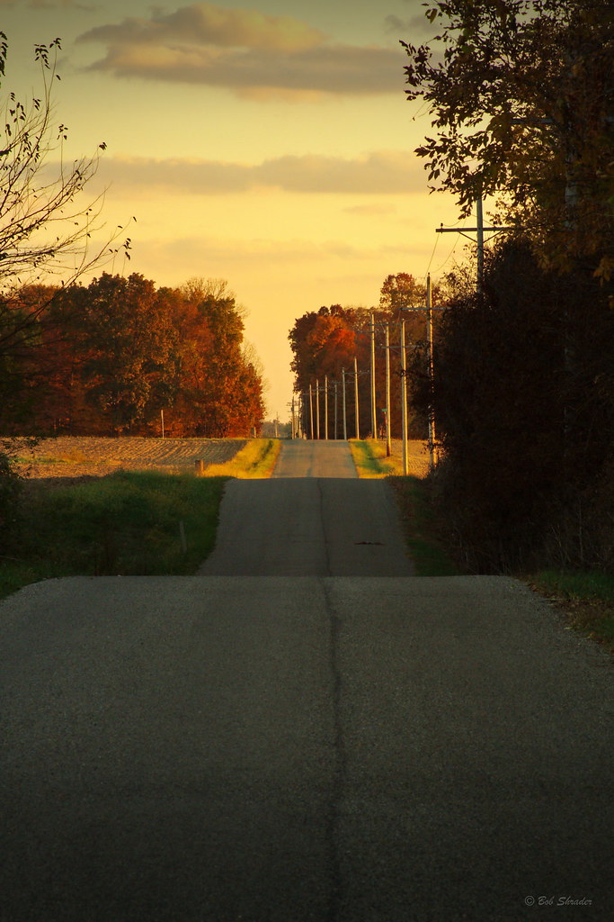
County Road 450 West

Dublin, Indiana
Backlands Indiana
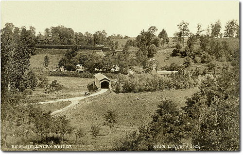
Richland Creek Valley and covered bridge near Liberty, Indiana

Ventriloquist's Dummy
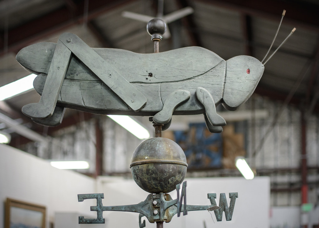
Grasshopper Weathervane

Leaded Glass at the Station Stop Restaurant
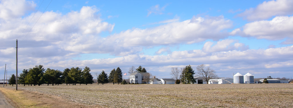
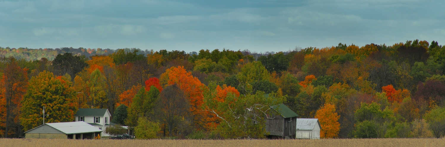
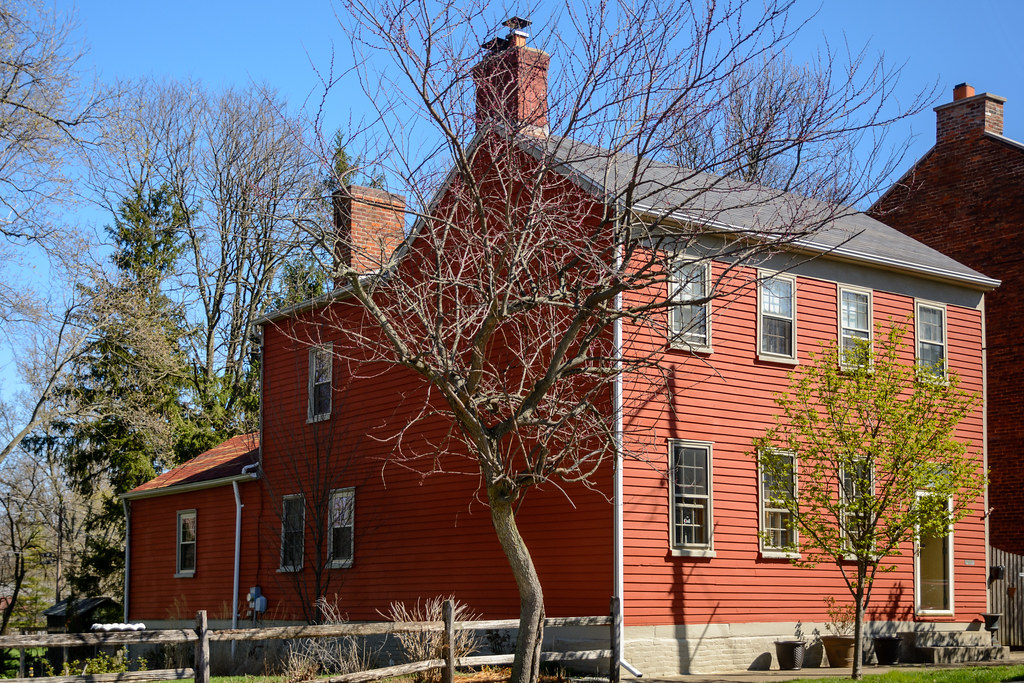
Farmstead in southern Wayne County, Indiana
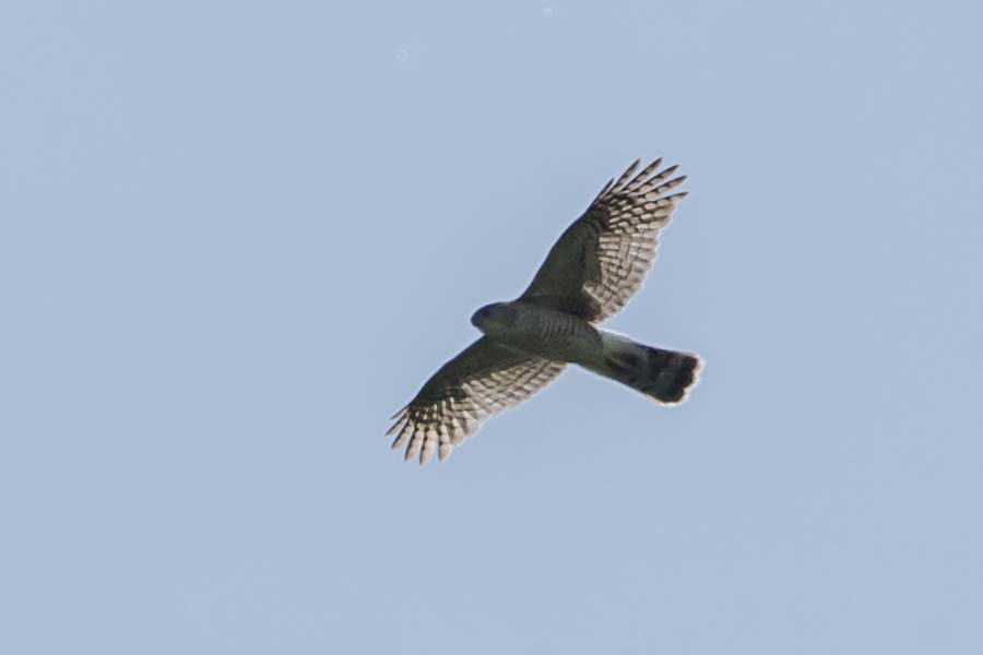
RAPTOR - ID HELP??
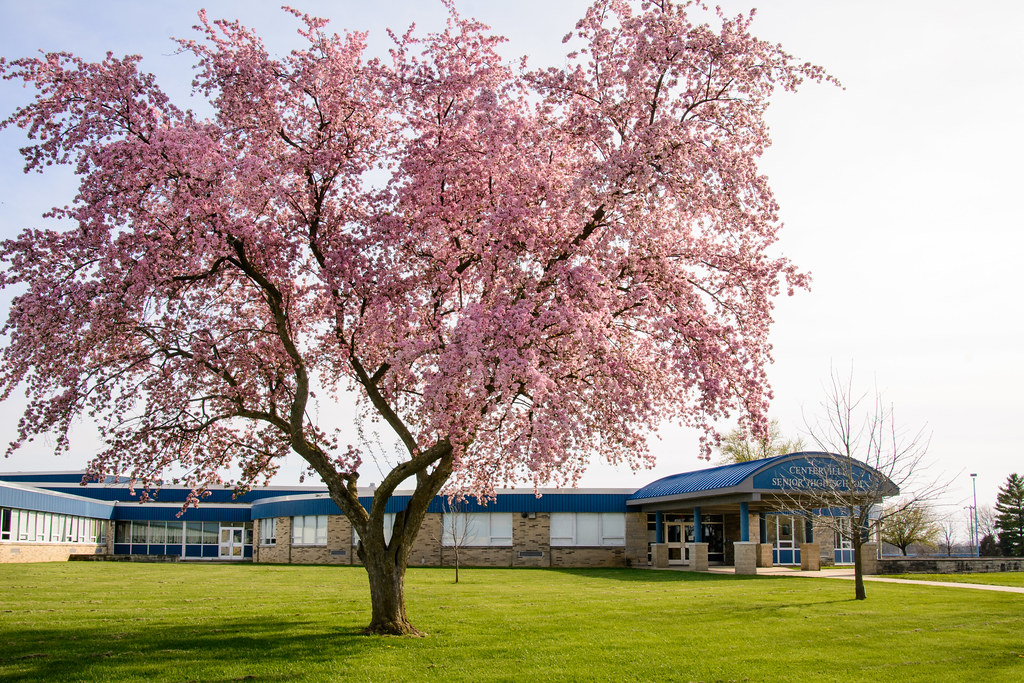
Centerville Senior High School
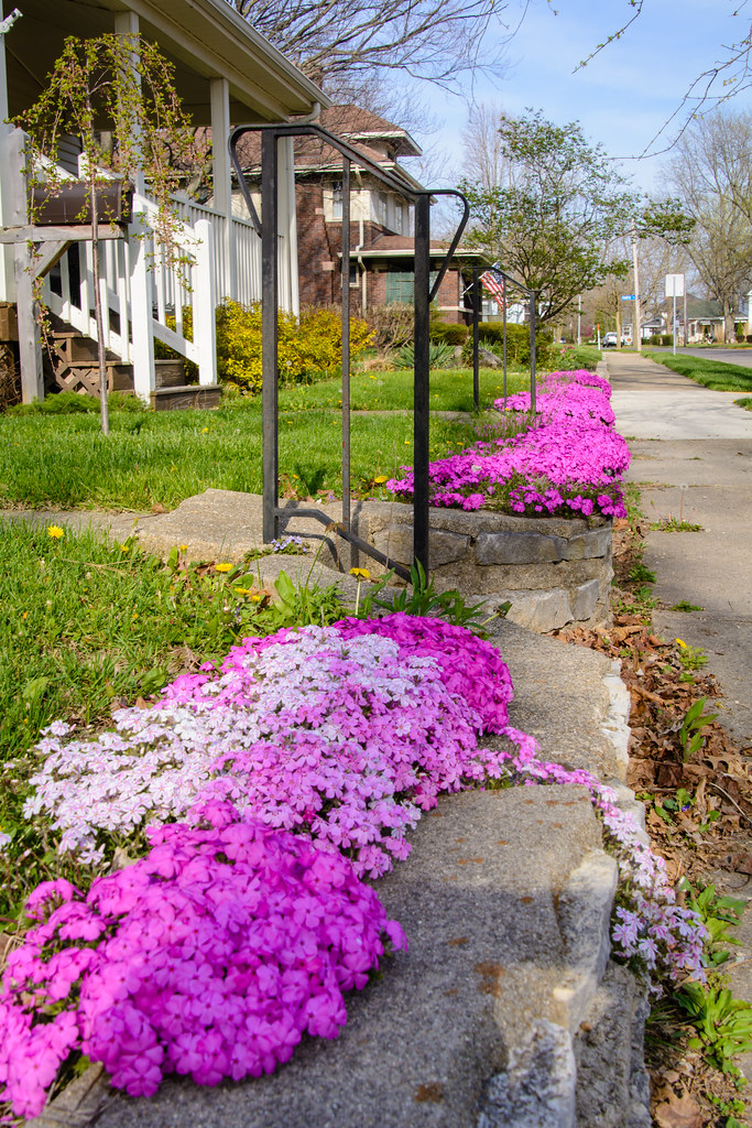
Creeping Phlox

The Enchanted Sleigh
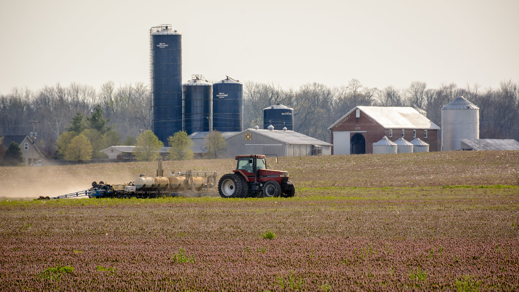
Spring Planting
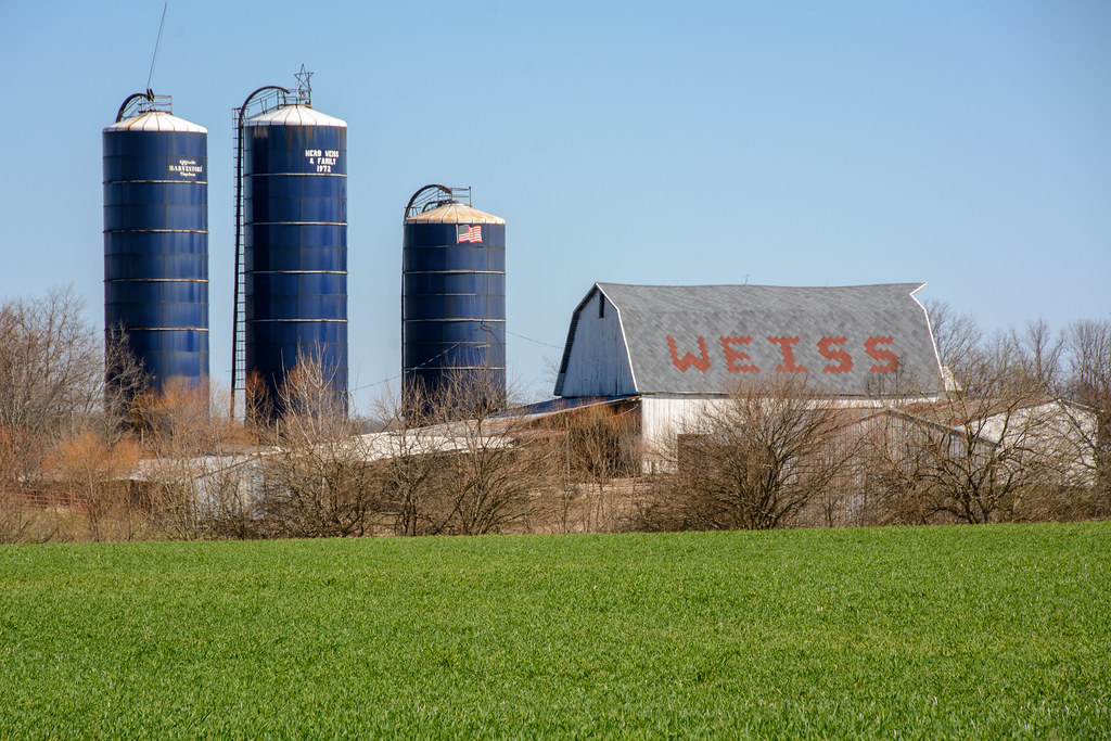
Weiss Farm
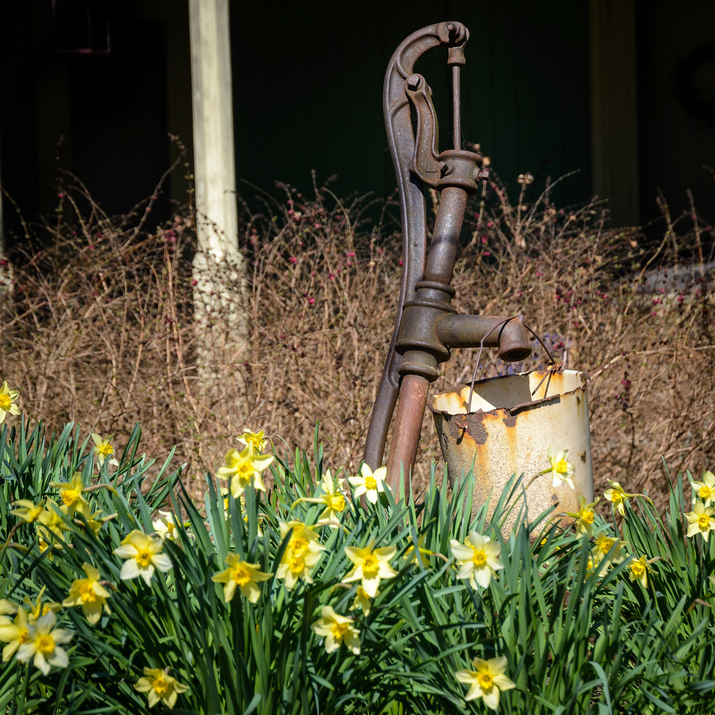
Water Pump and Daffodils

National Road Row Houses
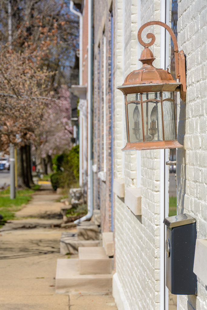
Row House Lantern
Architecture along the National Road
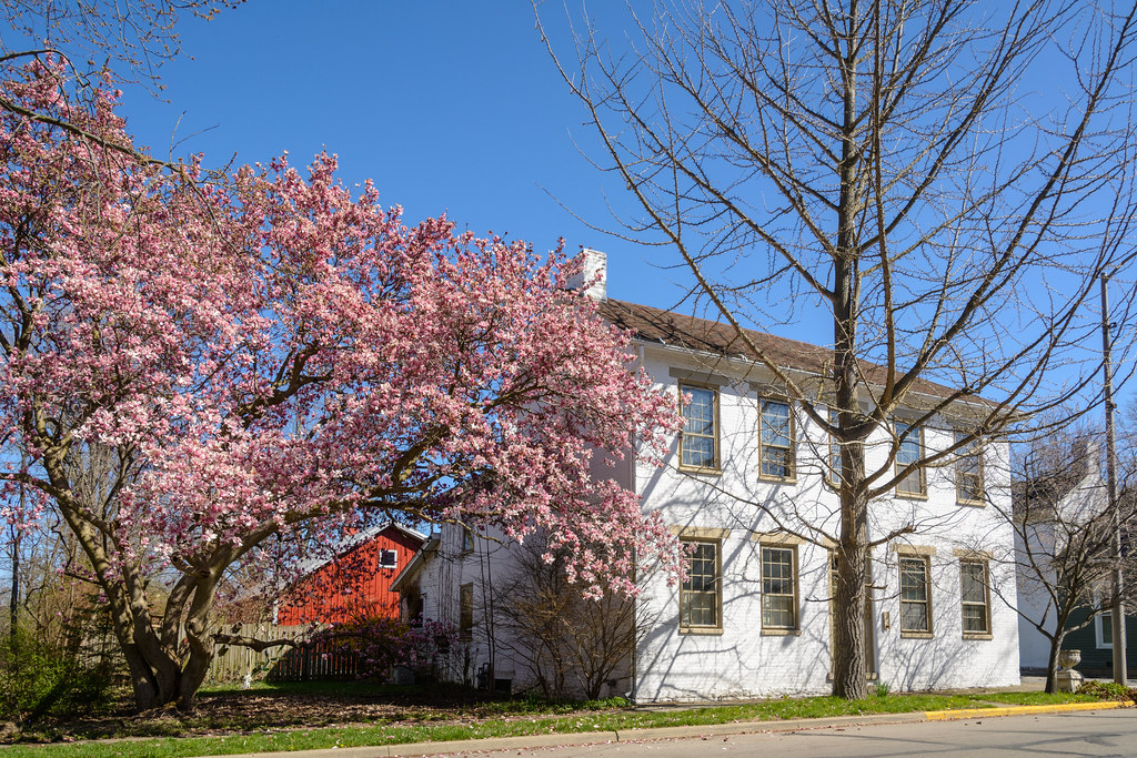
Magnolia Blossoms and Architecture
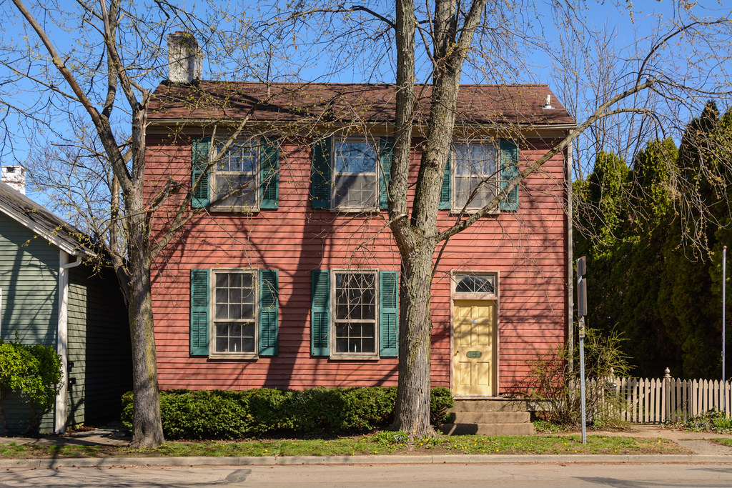
Architecture along the National Road

Spring Flowers and Swing
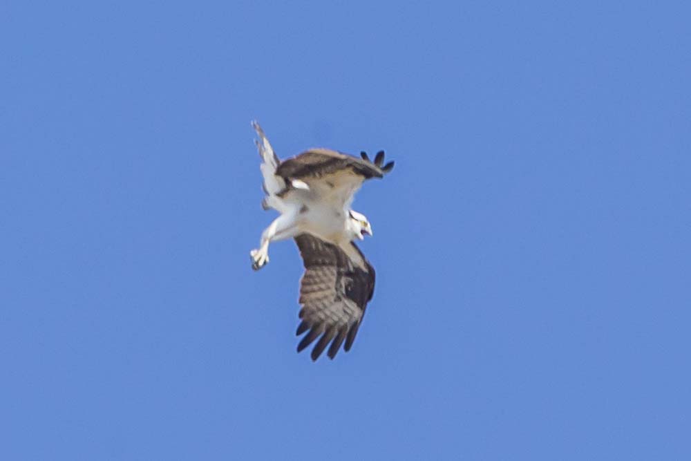
OSPREY FLAPPING HIS WINGS AND CALLING TO HIS MATE
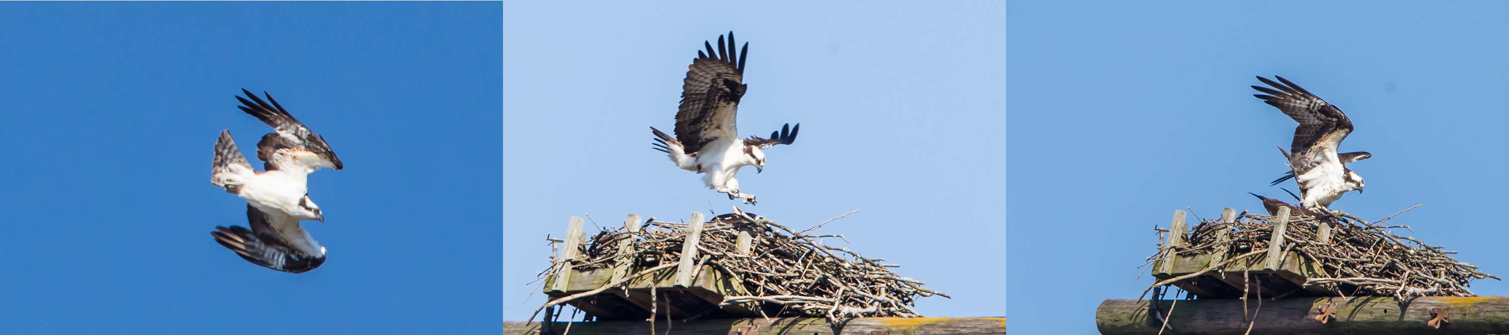
MALE OSPREY ON A MISSION
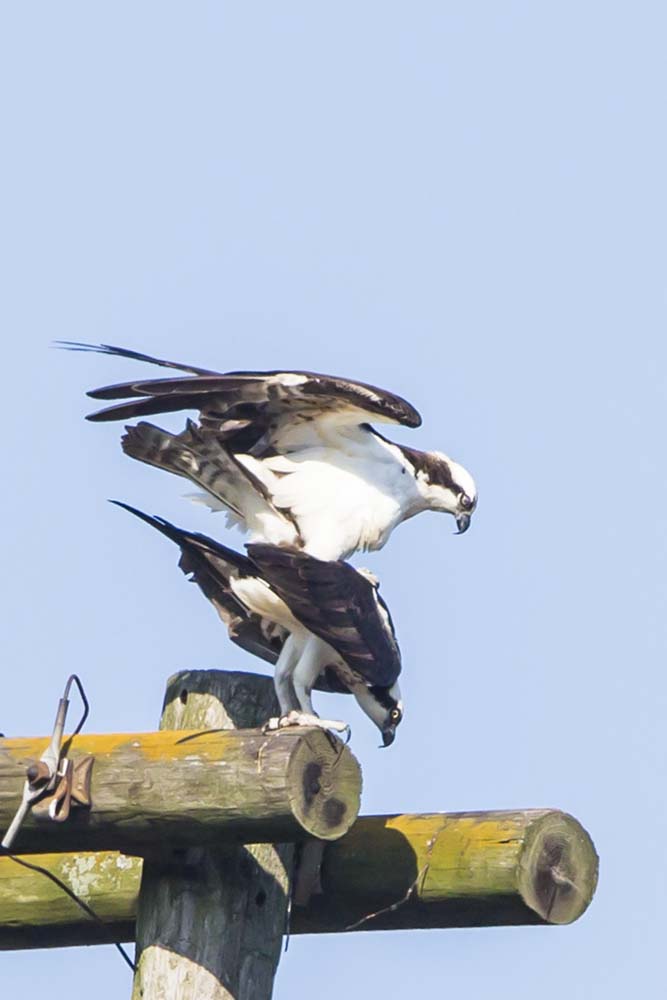
OSPREY MATING PAIR
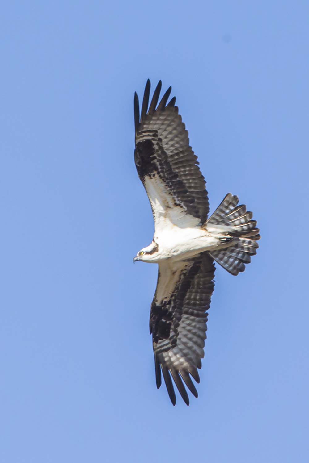
OSPREY, ABOVE THE NEST
Mapa de Whitaker Dr, Milton, IN, EE. UU.
Buscar otro lugar
Lugares cercanos
N Co Rd E, Connersville, IN, EE. UU.
N Eby Dr, Connersville, IN, EE. UU.
Municipio de Washington, Indiana, EE. UU.
Municipio de Waterloo, Indiana, EE. UU.
Municipio de Harrison, Indiana, EE. UU.
Milton, Indiana, EE. UU.
Market St, Connersville, IN, EE. UU.
Connersville, Indiana, EE. UU.
Sunset Ave, Connersville, IN, EE. UU.
Cambridge Square 2 Apartments, Delaware Ct, Cambridge City, IN, EE. UU.
Cambridge City, Indiana, EE. UU.
Municipio de Connersville, Indiana, EE. UU.
Municipio de Jackson, Indiana, EE. UU.
Dublin, Indiana, EE. UU.
Municipio de Jennings, Indiana, EE. UU.
Condado de Fayette, Indiana, EE. UU.
E Alquina Rd, Connersville, IN, EE. UU.
Municipio de Abington, Indiana, EE. UU.
Lead Line Rd, Centerville, IN, EE. UU.
Municipio de Dudley, Indiana, EE. UU.
Búsquedas recientes
- Horas de salida y puesta de sol de Presidente Quintana & Emilio Mitre, Carlos Keen, Provincia de Buenos Aires, Argentina
- Horas de salida y puesta de sol de Deep Gap Farm Rd E, Mill Spring, NC, EE. UU.
- Horas de salida y puesta de sol de Jiujiangzhen, Nanhai District, Foshan, Guangdong Province, China
- Horas de salida y puesta de sol de Mountain View, California, EE. UU.
- Horas de salida y puesta de sol de Mirador del "Camino al Cielo", Shuenhigashi, Shari, Shari District, Hokkaido -, Japón
- Horas de salida y puesta de sol de 海岸咖啡, No. 31號, Chaishan Ave, Gushan District, Kaohsiung City, Taiwán
- Horas de salida y puesta de sol de Estates Loop, Priest River, ID, EE. UU.
- Horas de salida y puesta de sol de Woodland Oak Pl, Thousand Oaks, CA, EE. UU.
- Horas de salida y puesta de sol de Sarangdanda, Nepal
- Horas de salida y puesta de sol de Nakanoshima, Shiogama, Miyagi -, Japan