Horas de salida y puesta de sol de Tuber Hill, Squamish-Lillooet A, BC V0N, Canadá
Location: Canadá > Columbia Británica > Squamish-Lillooet > Squamish-Lillooet A >
Zona horaria:
America/Vancouver
Hora local:
2024-04-29 05:07:24
Longitud:
-123.4
Latitud:
50.9
Salida de sol de hoy:
05:48:40 AM
Puesta de sol de hoy:
08:32:58 PM
La duración del día hoy:
14h 44m 18s
Salida de sol de mañana:
05:46:49 AM
Puesta de sol de mañana:
08:34:34 PM
La duración del día mañana:
14h 47m 45s
Mostrar todas las fechas
| Fecha | Salida de sol | Puesta de sol | Duración del día |
|---|---|---|---|
| 01/01/2024 | 08:16:02 AM | 04:18:55 PM | 8h 2m 53s |
| 02/01/2024 | 08:15:52 AM | 04:20:00 PM | 8h 4m 8s |
| 03/01/2024 | 08:15:40 AM | 04:21:08 PM | 8h 5m 28s |
| 04/01/2024 | 08:15:24 AM | 04:22:18 PM | 8h 6m 54s |
| 05/01/2024 | 08:15:05 AM | 04:23:30 PM | 8h 8m 25s |
| 06/01/2024 | 08:14:43 AM | 04:24:44 PM | 8h 10m 1s |
| 07/01/2024 | 08:14:18 AM | 04:26:01 PM | 8h 11m 43s |
| 08/01/2024 | 08:13:49 AM | 04:27:20 PM | 8h 13m 31s |
| 09/01/2024 | 08:13:17 AM | 04:28:41 PM | 8h 15m 24s |
| 10/01/2024 | 08:12:43 AM | 04:30:03 PM | 8h 17m 20s |
| 11/01/2024 | 08:12:05 AM | 04:31:28 PM | 8h 19m 23s |
| 12/01/2024 | 08:11:24 AM | 04:32:54 PM | 8h 21m 30s |
| 13/01/2024 | 08:10:40 AM | 04:34:23 PM | 8h 23m 43s |
| 14/01/2024 | 08:09:54 AM | 04:35:52 PM | 8h 25m 58s |
| 15/01/2024 | 08:09:04 AM | 04:37:24 PM | 8h 28m 20s |
| 16/01/2024 | 08:08:12 AM | 04:38:56 PM | 8h 30m 44s |
| 17/01/2024 | 08:07:17 AM | 04:40:30 PM | 8h 33m 13s |
| 18/01/2024 | 08:06:19 AM | 04:42:06 PM | 8h 35m 47s |
| 19/01/2024 | 08:05:19 AM | 04:43:42 PM | 8h 38m 23s |
| 20/01/2024 | 08:04:15 AM | 04:45:20 PM | 8h 41m 5s |
| 21/01/2024 | 08:03:10 AM | 04:46:59 PM | 8h 43m 49s |
| 22/01/2024 | 08:02:02 AM | 04:48:39 PM | 8h 46m 37s |
| 23/01/2024 | 08:00:51 AM | 04:50:19 PM | 8h 49m 28s |
| 24/01/2024 | 07:59:38 AM | 04:52:01 PM | 8h 52m 23s |
| 25/01/2024 | 07:58:22 AM | 04:53:43 PM | 8h 55m 21s |
| 26/01/2024 | 07:57:04 AM | 04:55:26 PM | 8h 58m 22s |
| 27/01/2024 | 07:55:44 AM | 04:57:10 PM | 9h 1m 26s |
| 28/01/2024 | 07:54:22 AM | 04:58:54 PM | 9h 4m 32s |
| 29/01/2024 | 07:52:58 AM | 05:00:39 PM | 9h 7m 41s |
| 30/01/2024 | 07:51:31 AM | 05:02:24 PM | 9h 10m 53s |
| 31/01/2024 | 07:50:03 AM | 05:04:10 PM | 9h 14m 7s |
| 01/02/2024 | 07:48:32 AM | 05:05:56 PM | 9h 17m 24s |
| 02/02/2024 | 07:47:00 AM | 05:07:42 PM | 9h 20m 42s |
| 03/02/2024 | 07:45:25 AM | 05:09:29 PM | 9h 24m 4s |
| 04/02/2024 | 07:43:49 AM | 05:11:16 PM | 9h 27m 27s |
| 05/02/2024 | 07:42:11 AM | 05:13:03 PM | 9h 30m 52s |
| 06/02/2024 | 07:40:31 AM | 05:14:50 PM | 9h 34m 19s |
| 07/02/2024 | 07:38:50 AM | 05:16:37 PM | 9h 37m 47s |
| 08/02/2024 | 07:37:07 AM | 05:18:24 PM | 9h 41m 17s |
| 09/02/2024 | 07:35:22 AM | 05:20:11 PM | 9h 44m 49s |
| 10/02/2024 | 07:33:36 AM | 05:21:59 PM | 9h 48m 23s |
| 11/02/2024 | 07:31:49 AM | 05:23:46 PM | 9h 51m 57s |
| 12/02/2024 | 07:30:00 AM | 05:25:33 PM | 9h 55m 33s |
| 13/02/2024 | 07:28:09 AM | 05:27:20 PM | 9h 59m 11s |
| 14/02/2024 | 07:26:17 AM | 05:29:07 PM | 10h 2m 50s |
| 15/02/2024 | 07:24:24 AM | 05:30:53 PM | 10h 6m 29s |
| 16/02/2024 | 07:22:30 AM | 05:32:40 PM | 10h 10m 10s |
| 17/02/2024 | 07:20:34 AM | 05:34:26 PM | 10h 13m 52s |
| 18/02/2024 | 07:18:38 AM | 05:36:13 PM | 10h 17m 35s |
| 19/02/2024 | 07:16:40 AM | 05:37:59 PM | 10h 21m 19s |
| 20/02/2024 | 07:14:41 AM | 05:39:44 PM | 10h 25m 3s |
| 21/02/2024 | 07:12:41 AM | 05:41:30 PM | 10h 28m 49s |
| 22/02/2024 | 07:10:40 AM | 05:43:15 PM | 10h 32m 35s |
| 23/02/2024 | 07:08:38 AM | 05:45:00 PM | 10h 36m 22s |
| 24/02/2024 | 07:06:35 AM | 05:46:45 PM | 10h 40m 10s |
| 25/02/2024 | 07:04:31 AM | 05:48:29 PM | 10h 43m 58s |
| 26/02/2024 | 07:02:27 AM | 05:50:13 PM | 10h 47m 46s |
| 27/02/2024 | 07:00:21 AM | 05:51:57 PM | 10h 51m 36s |
| 28/02/2024 | 06:58:15 AM | 05:53:41 PM | 10h 55m 26s |
| 29/02/2024 | 06:56:08 AM | 05:55:24 PM | 10h 59m 16s |
| 01/03/2024 | 06:54:01 AM | 05:57:07 PM | 11h 3m 6s |
| 02/03/2024 | 06:51:52 AM | 05:58:50 PM | 11h 6m 58s |
| 03/03/2024 | 06:49:43 AM | 06:00:33 PM | 11h 10m 50s |
| 04/03/2024 | 06:47:34 AM | 06:02:15 PM | 11h 14m 41s |
| 05/03/2024 | 06:45:24 AM | 06:03:57 PM | 11h 18m 33s |
| 06/03/2024 | 06:43:13 AM | 06:05:38 PM | 11h 22m 25s |
| 07/03/2024 | 06:41:02 AM | 06:07:20 PM | 11h 26m 18s |
| 08/03/2024 | 06:38:51 AM | 06:09:01 PM | 11h 30m 10s |
| 09/03/2024 | 06:36:39 AM | 06:10:42 PM | 11h 34m 3s |
| 10/03/2024 | 07:34:32 AM | 07:12:19 PM | 11h 37m 47s |
| 11/03/2024 | 07:32:19 AM | 07:13:59 PM | 11h 41m 40s |
| 12/03/2024 | 07:30:06 AM | 07:15:39 PM | 11h 45m 33s |
| 13/03/2024 | 07:27:53 AM | 07:17:19 PM | 11h 49m 26s |
| 14/03/2024 | 07:25:39 AM | 07:18:59 PM | 11h 53m 20s |
| 15/03/2024 | 07:23:25 AM | 07:20:39 PM | 11h 57m 14s |
| 16/03/2024 | 07:21:11 AM | 07:22:18 PM | 12h 1m 7s |
| 17/03/2024 | 07:18:57 AM | 07:23:58 PM | 12h 5m 1s |
| 18/03/2024 | 07:16:43 AM | 07:25:37 PM | 12h 8m 54s |
| 19/03/2024 | 07:14:28 AM | 07:27:16 PM | 12h 12m 48s |
| 20/03/2024 | 07:12:14 AM | 07:28:55 PM | 12h 16m 41s |
| 21/03/2024 | 07:09:59 AM | 07:30:33 PM | 12h 20m 34s |
| 22/03/2024 | 07:07:44 AM | 07:32:12 PM | 12h 24m 28s |
| 23/03/2024 | 07:05:30 AM | 07:33:50 PM | 12h 28m 20s |
| 24/03/2024 | 07:03:15 AM | 07:35:29 PM | 12h 32m 14s |
| 25/03/2024 | 07:01:01 AM | 07:37:07 PM | 12h 36m 6s |
| 26/03/2024 | 06:58:46 AM | 07:38:45 PM | 12h 39m 59s |
| 27/03/2024 | 06:56:32 AM | 07:40:23 PM | 12h 43m 51s |
| 28/03/2024 | 06:54:18 AM | 07:42:01 PM | 12h 47m 43s |
| 29/03/2024 | 06:52:04 AM | 07:43:39 PM | 12h 51m 35s |
| 30/03/2024 | 06:49:51 AM | 07:45:17 PM | 12h 55m 26s |
| 31/03/2024 | 06:47:37 AM | 07:46:55 PM | 12h 59m 18s |
| 01/04/2024 | 06:45:24 AM | 07:48:33 PM | 13h 3m 9s |
| 02/04/2024 | 06:43:11 AM | 07:50:10 PM | 13h 6m 59s |
| 03/04/2024 | 06:40:59 AM | 07:51:48 PM | 13h 10m 49s |
| 04/04/2024 | 06:38:47 AM | 07:53:26 PM | 13h 14m 39s |
| 05/04/2024 | 06:36:35 AM | 07:55:04 PM | 13h 18m 29s |
| 06/04/2024 | 06:34:24 AM | 07:56:41 PM | 13h 22m 17s |
| 07/04/2024 | 06:32:13 AM | 07:58:19 PM | 13h 26m 6s |
| 08/04/2024 | 06:30:03 AM | 07:59:57 PM | 13h 29m 54s |
| 09/04/2024 | 06:27:53 AM | 08:01:35 PM | 13h 33m 42s |
| 10/04/2024 | 06:25:44 AM | 08:03:12 PM | 13h 37m 28s |
| 11/04/2024 | 06:23:36 AM | 08:04:50 PM | 13h 41m 14s |
| 12/04/2024 | 06:21:28 AM | 08:06:28 PM | 13h 45m 0s |
| 13/04/2024 | 06:19:21 AM | 08:08:05 PM | 13h 48m 44s |
| 14/04/2024 | 06:17:14 AM | 08:09:43 PM | 13h 52m 29s |
| 15/04/2024 | 06:15:09 AM | 08:11:21 PM | 13h 56m 12s |
| 16/04/2024 | 06:13:04 AM | 08:12:58 PM | 13h 59m 54s |
| 17/04/2024 | 06:11:00 AM | 08:14:36 PM | 14h 3m 36s |
| 18/04/2024 | 06:08:57 AM | 08:16:13 PM | 14h 7m 16s |
| 19/04/2024 | 06:06:55 AM | 08:17:51 PM | 14h 10m 56s |
| 20/04/2024 | 06:04:53 AM | 08:19:28 PM | 14h 14m 35s |
| 21/04/2024 | 06:02:53 AM | 08:21:05 PM | 14h 18m 12s |
| 22/04/2024 | 06:00:54 AM | 08:22:42 PM | 14h 21m 48s |
| 23/04/2024 | 05:58:55 AM | 08:24:20 PM | 14h 25m 25s |
| 24/04/2024 | 05:56:58 AM | 08:25:57 PM | 14h 28m 59s |
| 25/04/2024 | 05:55:02 AM | 08:27:33 PM | 14h 32m 31s |
| 26/04/2024 | 05:53:07 AM | 08:29:10 PM | 14h 36m 3s |
| 27/04/2024 | 05:51:14 AM | 08:30:46 PM | 14h 39m 32s |
| 28/04/2024 | 05:49:21 AM | 08:32:22 PM | 14h 43m 1s |
| 29/04/2024 | 05:47:30 AM | 08:33:58 PM | 14h 46m 28s |
| 30/04/2024 | 05:45:41 AM | 08:35:34 PM | 14h 49m 53s |
| 01/05/2024 | 05:43:52 AM | 08:37:09 PM | 14h 53m 17s |
| 02/05/2024 | 05:42:06 AM | 08:38:44 PM | 14h 56m 38s |
| 03/05/2024 | 05:40:20 AM | 08:40:19 PM | 14h 59m 59s |
| 04/05/2024 | 05:38:36 AM | 08:41:53 PM | 15h 3m 17s |
| 05/05/2024 | 05:36:54 AM | 08:43:27 PM | 15h 6m 33s |
| 06/05/2024 | 05:35:13 AM | 08:45:00 PM | 15h 9m 47s |
| 07/05/2024 | 05:33:35 AM | 08:46:33 PM | 15h 12m 58s |
| 08/05/2024 | 05:31:57 AM | 08:48:05 PM | 15h 16m 8s |
| 09/05/2024 | 05:30:22 AM | 08:49:37 PM | 15h 19m 15s |
| 10/05/2024 | 05:28:48 AM | 08:51:08 PM | 15h 22m 20s |
| 11/05/2024 | 05:27:16 AM | 08:52:38 PM | 15h 25m 22s |
| 12/05/2024 | 05:25:46 AM | 08:54:07 PM | 15h 28m 21s |
| 13/05/2024 | 05:24:18 AM | 08:55:36 PM | 15h 31m 18s |
| 14/05/2024 | 05:22:52 AM | 08:57:04 PM | 15h 34m 12s |
| 15/05/2024 | 05:21:29 AM | 08:58:30 PM | 15h 37m 1s |
| 16/05/2024 | 05:20:07 AM | 08:59:56 PM | 15h 39m 49s |
| 17/05/2024 | 05:18:47 AM | 09:01:21 PM | 15h 42m 34s |
| 18/05/2024 | 05:17:30 AM | 09:02:45 PM | 15h 45m 15s |
| 19/05/2024 | 05:16:14 AM | 09:04:07 PM | 15h 47m 53s |
| 20/05/2024 | 05:15:01 AM | 09:05:28 PM | 15h 50m 27s |
| 21/05/2024 | 05:13:51 AM | 09:06:48 PM | 15h 52m 57s |
| 22/05/2024 | 05:12:43 AM | 09:08:07 PM | 15h 55m 24s |
| 23/05/2024 | 05:11:37 AM | 09:09:24 PM | 15h 57m 47s |
| 24/05/2024 | 05:10:34 AM | 09:10:40 PM | 16h 0m 6s |
| 25/05/2024 | 05:09:33 AM | 09:11:54 PM | 16h 2m 21s |
| 26/05/2024 | 05:08:35 AM | 09:13:07 PM | 16h 4m 32s |
| 27/05/2024 | 05:07:39 AM | 09:14:18 PM | 16h 6m 39s |
| 28/05/2024 | 05:06:46 AM | 09:15:27 PM | 16h 8m 41s |
| 29/05/2024 | 05:05:56 AM | 09:16:34 PM | 16h 10m 38s |
| 30/05/2024 | 05:05:08 AM | 09:17:39 PM | 16h 12m 31s |
| 31/05/2024 | 05:04:23 AM | 09:18:43 PM | 16h 14m 20s |
| 01/06/2024 | 05:03:41 AM | 09:19:44 PM | 16h 16m 3s |
| 02/06/2024 | 05:03:02 AM | 09:20:44 PM | 16h 17m 42s |
| 03/06/2024 | 05:02:26 AM | 09:21:41 PM | 16h 19m 15s |
| 04/06/2024 | 05:01:52 AM | 09:22:36 PM | 16h 20m 44s |
| 05/06/2024 | 05:01:22 AM | 09:23:28 PM | 16h 22m 6s |
| 06/06/2024 | 05:00:54 AM | 09:24:19 PM | 16h 23m 25s |
| 07/06/2024 | 05:00:29 AM | 09:25:07 PM | 16h 24m 38s |
| 08/06/2024 | 05:00:07 AM | 09:25:52 PM | 16h 25m 45s |
| 09/06/2024 | 04:59:49 AM | 09:26:35 PM | 16h 26m 46s |
| 10/06/2024 | 04:59:33 AM | 09:27:15 PM | 16h 27m 42s |
| 11/06/2024 | 04:59:20 AM | 09:27:53 PM | 16h 28m 33s |
| 12/06/2024 | 04:59:10 AM | 09:28:28 PM | 16h 29m 18s |
| 13/06/2024 | 04:59:03 AM | 09:29:01 PM | 16h 29m 58s |
| 14/06/2024 | 04:58:59 AM | 09:29:30 PM | 16h 30m 31s |
| 15/06/2024 | 04:58:59 AM | 09:29:57 PM | 16h 30m 58s |
| 16/06/2024 | 04:59:01 AM | 09:30:21 PM | 16h 31m 20s |
| 17/06/2024 | 04:59:06 AM | 09:30:42 PM | 16h 31m 36s |
| 18/06/2024 | 04:59:14 AM | 09:31:00 PM | 16h 31m 46s |
| 19/06/2024 | 04:59:25 AM | 09:31:15 PM | 16h 31m 50s |
| 20/06/2024 | 04:59:39 AM | 09:31:27 PM | 16h 31m 48s |
| 21/06/2024 | 04:59:55 AM | 09:31:37 PM | 16h 31m 42s |
| 22/06/2024 | 05:00:15 AM | 09:31:43 PM | 16h 31m 28s |
| 23/06/2024 | 05:00:37 AM | 09:31:46 PM | 16h 31m 9s |
| 24/06/2024 | 05:01:03 AM | 09:31:46 PM | 16h 30m 43s |
| 25/06/2024 | 05:01:30 AM | 09:31:44 PM | 16h 30m 14s |
| 26/06/2024 | 05:02:01 AM | 09:31:38 PM | 16h 29m 37s |
| 27/06/2024 | 05:02:34 AM | 09:31:29 PM | 16h 28m 55s |
| 28/06/2024 | 05:03:10 AM | 09:31:17 PM | 16h 28m 7s |
| 29/06/2024 | 05:03:49 AM | 09:31:02 PM | 16h 27m 13s |
| 30/06/2024 | 05:04:30 AM | 09:30:44 PM | 16h 26m 14s |
| 01/07/2024 | 05:05:13 AM | 09:30:23 PM | 16h 25m 10s |
| 02/07/2024 | 05:05:59 AM | 09:29:59 PM | 16h 24m 0s |
| 03/07/2024 | 05:06:48 AM | 09:29:32 PM | 16h 22m 44s |
| 04/07/2024 | 05:07:38 AM | 09:29:02 PM | 16h 21m 24s |
| 05/07/2024 | 05:08:31 AM | 09:28:29 PM | 16h 19m 58s |
| 06/07/2024 | 05:09:26 AM | 09:27:53 PM | 16h 18m 27s |
| 07/07/2024 | 05:10:23 AM | 09:27:14 PM | 16h 16m 51s |
| 08/07/2024 | 05:11:22 AM | 09:26:33 PM | 16h 15m 11s |
| 09/07/2024 | 05:12:23 AM | 09:25:48 PM | 16h 13m 25s |
| 10/07/2024 | 05:13:26 AM | 09:25:01 PM | 16h 11m 35s |
| 11/07/2024 | 05:14:30 AM | 09:24:11 PM | 16h 9m 41s |
| 12/07/2024 | 05:15:37 AM | 09:23:19 PM | 16h 7m 42s |
| 13/07/2024 | 05:16:45 AM | 09:22:23 PM | 16h 5m 38s |
| 14/07/2024 | 05:17:55 AM | 09:21:25 PM | 16h 3m 30s |
| 15/07/2024 | 05:19:06 AM | 09:20:25 PM | 16h 1m 19s |
| 16/07/2024 | 05:20:19 AM | 09:19:22 PM | 15h 59m 3s |
| 17/07/2024 | 05:21:33 AM | 09:18:16 PM | 15h 56m 43s |
| 18/07/2024 | 05:22:49 AM | 09:17:08 PM | 15h 54m 19s |
| 19/07/2024 | 05:24:06 AM | 09:15:58 PM | 15h 51m 52s |
| 20/07/2024 | 05:25:24 AM | 09:14:45 PM | 15h 49m 21s |
| 21/07/2024 | 05:26:43 AM | 09:13:29 PM | 15h 46m 46s |
| 22/07/2024 | 05:28:04 AM | 09:12:12 PM | 15h 44m 8s |
| 23/07/2024 | 05:29:25 AM | 09:10:52 PM | 15h 41m 27s |
| 24/07/2024 | 05:30:48 AM | 09:09:31 PM | 15h 38m 43s |
| 25/07/2024 | 05:32:11 AM | 09:08:07 PM | 15h 35m 56s |
| 26/07/2024 | 05:33:35 AM | 09:06:41 PM | 15h 33m 6s |
| 27/07/2024 | 05:35:01 AM | 09:05:12 PM | 15h 30m 11s |
| 28/07/2024 | 05:36:26 AM | 09:03:42 PM | 15h 27m 16s |
| 29/07/2024 | 05:37:53 AM | 09:02:10 PM | 15h 24m 17s |
| 30/07/2024 | 05:39:20 AM | 09:00:37 PM | 15h 21m 17s |
| 31/07/2024 | 05:40:48 AM | 08:59:01 PM | 15h 18m 13s |
| 01/08/2024 | 05:42:17 AM | 08:57:23 PM | 15h 15m 6s |
| 02/08/2024 | 05:43:46 AM | 08:55:44 PM | 15h 11m 58s |
| 03/08/2024 | 05:45:15 AM | 08:54:03 PM | 15h 8m 48s |
| 04/08/2024 | 05:46:45 AM | 08:52:21 PM | 15h 5m 36s |
| 05/08/2024 | 05:48:15 AM | 08:50:36 PM | 15h 2m 21s |
| 06/08/2024 | 05:49:46 AM | 08:48:51 PM | 14h 59m 5s |
| 07/08/2024 | 05:51:17 AM | 08:47:04 PM | 14h 55m 47s |
| 08/08/2024 | 05:52:48 AM | 08:45:15 PM | 14h 52m 27s |
| 09/08/2024 | 05:54:20 AM | 08:43:25 PM | 14h 49m 5s |
| 10/08/2024 | 05:55:52 AM | 08:41:33 PM | 14h 45m 41s |
| 11/08/2024 | 05:57:24 AM | 08:39:40 PM | 14h 42m 16s |
| 12/08/2024 | 05:58:56 AM | 08:37:46 PM | 14h 38m 50s |
| 13/08/2024 | 06:00:29 AM | 08:35:51 PM | 14h 35m 22s |
| 14/08/2024 | 06:02:01 AM | 08:33:54 PM | 14h 31m 53s |
| 15/08/2024 | 06:03:34 AM | 08:31:57 PM | 14h 28m 23s |
| 16/08/2024 | 06:05:07 AM | 08:29:58 PM | 14h 24m 51s |
| 17/08/2024 | 06:06:39 AM | 08:27:58 PM | 14h 21m 19s |
| 18/08/2024 | 06:08:12 AM | 08:25:57 PM | 14h 17m 45s |
| 19/08/2024 | 06:09:45 AM | 08:23:55 PM | 14h 14m 10s |
| 20/08/2024 | 06:11:18 AM | 08:21:52 PM | 14h 10m 34s |
| 21/08/2024 | 06:12:51 AM | 08:19:48 PM | 14h 6m 57s |
| 22/08/2024 | 06:14:24 AM | 08:17:44 PM | 14h 3m 20s |
| 23/08/2024 | 06:15:57 AM | 08:15:38 PM | 13h 59m 41s |
| 24/08/2024 | 06:17:30 AM | 08:13:32 PM | 13h 56m 2s |
| 25/08/2024 | 06:19:03 AM | 08:11:24 PM | 13h 52m 21s |
| 26/08/2024 | 06:20:36 AM | 08:09:16 PM | 13h 48m 40s |
| 27/08/2024 | 06:22:09 AM | 08:07:08 PM | 13h 44m 59s |
| 28/08/2024 | 06:23:42 AM | 08:04:58 PM | 13h 41m 16s |
| 29/08/2024 | 06:25:15 AM | 08:02:48 PM | 13h 37m 33s |
| 30/08/2024 | 06:26:48 AM | 08:00:38 PM | 13h 33m 50s |
| 31/08/2024 | 06:28:21 AM | 07:58:27 PM | 13h 30m 6s |
| 01/09/2024 | 06:29:54 AM | 07:56:15 PM | 13h 26m 21s |
| 02/09/2024 | 06:31:27 AM | 07:54:03 PM | 13h 22m 36s |
| 03/09/2024 | 06:32:59 AM | 07:51:50 PM | 13h 18m 51s |
| 04/09/2024 | 06:34:32 AM | 07:49:37 PM | 13h 15m 5s |
| 05/09/2024 | 06:36:05 AM | 07:47:23 PM | 13h 11m 18s |
| 06/09/2024 | 06:37:38 AM | 07:45:09 PM | 13h 7m 31s |
| 07/09/2024 | 06:39:11 AM | 07:42:55 PM | 13h 3m 44s |
| 08/09/2024 | 06:40:43 AM | 07:40:40 PM | 12h 59m 57s |
| 09/09/2024 | 06:42:16 AM | 07:38:26 PM | 12h 56m 10s |
| 10/09/2024 | 06:43:49 AM | 07:36:10 PM | 12h 52m 21s |
| 11/09/2024 | 06:45:22 AM | 07:33:55 PM | 12h 48m 33s |
| 12/09/2024 | 06:46:55 AM | 07:31:39 PM | 12h 44m 44s |
| 13/09/2024 | 06:48:28 AM | 07:29:24 PM | 12h 40m 56s |
| 14/09/2024 | 06:50:01 AM | 07:27:08 PM | 12h 37m 7s |
| 15/09/2024 | 06:51:34 AM | 07:24:52 PM | 12h 33m 18s |
| 16/09/2024 | 06:53:07 AM | 07:22:36 PM | 12h 29m 29s |
| 17/09/2024 | 06:54:41 AM | 07:20:19 PM | 12h 25m 38s |
| 18/09/2024 | 06:56:14 AM | 07:18:03 PM | 12h 21m 49s |
| 19/09/2024 | 06:57:48 AM | 07:15:47 PM | 12h 17m 59s |
| 20/09/2024 | 06:59:21 AM | 07:13:31 PM | 12h 14m 10s |
| 21/09/2024 | 07:00:55 AM | 07:11:15 PM | 12h 10m 20s |
| 22/09/2024 | 07:02:29 AM | 07:08:59 PM | 12h 6m 30s |
| 23/09/2024 | 07:04:03 AM | 07:06:43 PM | 12h 2m 40s |
| 24/09/2024 | 07:05:37 AM | 07:04:27 PM | 11h 58m 50s |
| 25/09/2024 | 07:07:12 AM | 07:02:12 PM | 11h 55m 0s |
| 26/09/2024 | 07:08:46 AM | 06:59:57 PM | 11h 51m 11s |
| 27/09/2024 | 07:10:21 AM | 06:57:42 PM | 11h 47m 21s |
| 28/09/2024 | 07:11:56 AM | 06:55:27 PM | 11h 43m 31s |
| 29/09/2024 | 07:13:31 AM | 06:53:12 PM | 11h 39m 41s |
| 30/09/2024 | 07:15:07 AM | 06:50:58 PM | 11h 35m 51s |
| 01/10/2024 | 07:16:43 AM | 06:48:45 PM | 11h 32m 2s |
| 02/10/2024 | 07:18:19 AM | 06:46:31 PM | 11h 28m 12s |
| 03/10/2024 | 07:19:55 AM | 06:44:18 PM | 11h 24m 23s |
| 04/10/2024 | 07:21:31 AM | 06:42:06 PM | 11h 20m 35s |
| 05/10/2024 | 07:23:08 AM | 06:39:54 PM | 11h 16m 46s |
| 06/10/2024 | 07:24:45 AM | 06:37:43 PM | 11h 12m 58s |
| 07/10/2024 | 07:26:23 AM | 06:35:32 PM | 11h 9m 9s |
| 08/10/2024 | 07:28:00 AM | 06:33:22 PM | 11h 5m 22s |
| 09/10/2024 | 07:29:38 AM | 06:31:12 PM | 11h 1m 34s |
| 10/10/2024 | 07:31:17 AM | 06:29:03 PM | 10h 57m 46s |
| 11/10/2024 | 07:32:55 AM | 06:26:55 PM | 10h 54m 0s |
| 12/10/2024 | 07:34:34 AM | 06:24:47 PM | 10h 50m 13s |
| 13/10/2024 | 07:36:13 AM | 06:22:41 PM | 10h 46m 28s |
| 14/10/2024 | 07:37:53 AM | 06:20:35 PM | 10h 42m 42s |
| 15/10/2024 | 07:39:32 AM | 06:18:30 PM | 10h 38m 58s |
| 16/10/2024 | 07:41:12 AM | 06:16:25 PM | 10h 35m 13s |
| 17/10/2024 | 07:42:53 AM | 06:14:22 PM | 10h 31m 29s |
| 18/10/2024 | 07:44:33 AM | 06:12:20 PM | 10h 27m 47s |
| 19/10/2024 | 07:46:14 AM | 06:10:19 PM | 10h 24m 5s |
| 20/10/2024 | 07:47:55 AM | 06:08:18 PM | 10h 20m 23s |
| 21/10/2024 | 07:49:37 AM | 06:06:19 PM | 10h 16m 42s |
| 22/10/2024 | 07:51:19 AM | 06:04:21 PM | 10h 13m 2s |
| 23/10/2024 | 07:53:01 AM | 06:02:24 PM | 10h 9m 23s |
| 24/10/2024 | 07:54:43 AM | 06:00:29 PM | 10h 5m 46s |
| 25/10/2024 | 07:56:25 AM | 05:58:34 PM | 10h 2m 9s |
| 26/10/2024 | 07:58:08 AM | 05:56:41 PM | 9h 58m 33s |
| 27/10/2024 | 07:59:51 AM | 05:54:49 PM | 9h 54m 58s |
| 28/10/2024 | 08:01:33 AM | 05:52:59 PM | 9h 51m 26s |
| 29/10/2024 | 08:03:16 AM | 05:51:10 PM | 9h 47m 54s |
| 30/10/2024 | 08:05:00 AM | 05:49:22 PM | 9h 44m 22s |
| 31/10/2024 | 08:06:43 AM | 05:47:36 PM | 9h 40m 53s |
| 01/11/2024 | 08:08:26 AM | 05:45:52 PM | 9h 37m 26s |
| 02/11/2024 | 08:10:09 AM | 05:44:09 PM | 9h 34m 0s |
| 03/11/2024 | 07:11:57 AM | 04:42:24 PM | 9h 30m 27s |
| 04/11/2024 | 07:13:40 AM | 04:40:45 PM | 9h 27m 5s |
| 05/11/2024 | 07:15:23 AM | 04:39:07 PM | 9h 23m 44s |
| 06/11/2024 | 07:17:06 AM | 04:37:31 PM | 9h 20m 25s |
| 07/11/2024 | 07:18:48 AM | 04:35:58 PM | 9h 17m 10s |
| 08/11/2024 | 07:20:31 AM | 04:34:26 PM | 9h 13m 55s |
| 09/11/2024 | 07:22:13 AM | 04:32:56 PM | 9h 10m 43s |
| 10/11/2024 | 07:23:55 AM | 04:31:28 PM | 9h 7m 33s |
| 11/11/2024 | 07:25:36 AM | 04:30:02 PM | 9h 4m 26s |
| 12/11/2024 | 07:27:17 AM | 04:28:38 PM | 9h 1m 21s |
| 13/11/2024 | 07:28:58 AM | 04:27:17 PM | 8h 58m 19s |
| 14/11/2024 | 07:30:38 AM | 04:25:58 PM | 8h 55m 20s |
| 15/11/2024 | 07:32:17 AM | 04:24:41 PM | 8h 52m 24s |
| 16/11/2024 | 07:33:56 AM | 04:23:26 PM | 8h 49m 30s |
| 17/11/2024 | 07:35:34 AM | 04:22:14 PM | 8h 46m 40s |
| 18/11/2024 | 07:37:11 AM | 04:21:04 PM | 8h 43m 53s |
| 19/11/2024 | 07:38:47 AM | 04:19:57 PM | 8h 41m 10s |
| 20/11/2024 | 07:40:22 AM | 04:18:53 PM | 8h 38m 31s |
| 21/11/2024 | 07:41:56 AM | 04:17:51 PM | 8h 35m 55s |
| 22/11/2024 | 07:43:29 AM | 04:16:52 PM | 8h 33m 23s |
| 23/11/2024 | 07:45:01 AM | 04:15:55 PM | 8h 30m 54s |
| 24/11/2024 | 07:46:32 AM | 04:15:01 PM | 8h 28m 29s |
| 25/11/2024 | 07:48:01 AM | 04:14:10 PM | 8h 26m 9s |
| 26/11/2024 | 07:49:29 AM | 04:13:22 PM | 8h 23m 53s |
| 27/11/2024 | 07:50:55 AM | 04:12:37 PM | 8h 21m 42s |
| 28/11/2024 | 07:52:20 AM | 04:11:55 PM | 8h 19m 35s |
| 29/11/2024 | 07:53:43 AM | 04:11:16 PM | 8h 17m 33s |
| 30/11/2024 | 07:55:04 AM | 04:10:40 PM | 8h 15m 36s |
| 01/12/2024 | 07:56:23 AM | 04:10:07 PM | 8h 13m 44s |
| 02/12/2024 | 07:57:41 AM | 04:09:37 PM | 8h 11m 56s |
| 03/12/2024 | 07:58:56 AM | 04:09:10 PM | 8h 10m 14s |
| 04/12/2024 | 08:00:10 AM | 04:08:47 PM | 8h 8m 37s |
| 05/12/2024 | 08:01:21 AM | 04:08:26 PM | 8h 7m 5s |
| 06/12/2024 | 08:02:30 AM | 04:08:09 PM | 8h 5m 39s |
| 07/12/2024 | 08:03:37 AM | 04:07:55 PM | 8h 4m 18s |
| 08/12/2024 | 08:04:41 AM | 04:07:45 PM | 8h 3m 4s |
| 09/12/2024 | 08:05:43 AM | 04:07:38 PM | 8h 1m 55s |
| 10/12/2024 | 08:06:42 AM | 04:07:34 PM | 8h 0m 52s |
| 11/12/2024 | 08:07:39 AM | 04:07:33 PM | 7h 59m 54s |
| 12/12/2024 | 08:08:33 AM | 04:07:36 PM | 7h 59m 3s |
| 13/12/2024 | 08:09:24 AM | 04:07:42 PM | 7h 58m 18s |
| 14/12/2024 | 08:10:12 AM | 04:07:52 PM | 7h 57m 40s |
| 15/12/2024 | 08:10:58 AM | 04:08:05 PM | 7h 57m 7s |
| 16/12/2024 | 08:11:41 AM | 04:08:21 PM | 7h 56m 40s |
| 17/12/2024 | 08:12:20 AM | 04:08:40 PM | 7h 56m 20s |
| 18/12/2024 | 08:12:57 AM | 04:09:03 PM | 7h 56m 6s |
| 19/12/2024 | 08:13:30 AM | 04:09:29 PM | 7h 55m 59s |
| 20/12/2024 | 08:14:01 AM | 04:09:58 PM | 7h 55m 57s |
| 21/12/2024 | 08:14:28 AM | 04:10:30 PM | 7h 56m 2s |
| 22/12/2024 | 08:14:52 AM | 04:11:06 PM | 7h 56m 14s |
| 23/12/2024 | 08:15:13 AM | 04:11:45 PM | 7h 56m 32s |
| 24/12/2024 | 08:15:31 AM | 04:12:26 PM | 7h 56m 55s |
| 25/12/2024 | 08:15:45 AM | 04:13:11 PM | 7h 57m 26s |
| 26/12/2024 | 08:15:57 AM | 04:13:59 PM | 7h 58m 2s |
| 27/12/2024 | 08:16:04 AM | 04:14:49 PM | 7h 58m 45s |
| 28/12/2024 | 08:16:09 AM | 04:15:43 PM | 7h 59m 34s |
| 29/12/2024 | 08:16:10 AM | 04:16:39 PM | 8h 0m 29s |
| 30/12/2024 | 08:16:09 AM | 04:17:38 PM | 8h 1m 29s |
Fotos

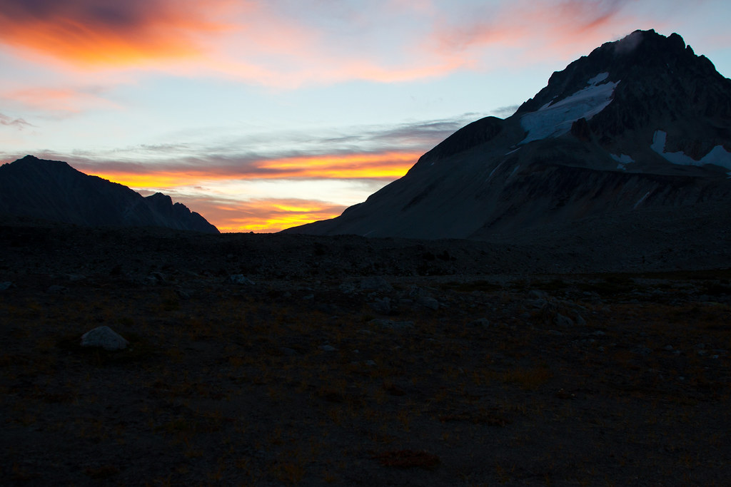
Good Morning - View from My Tent
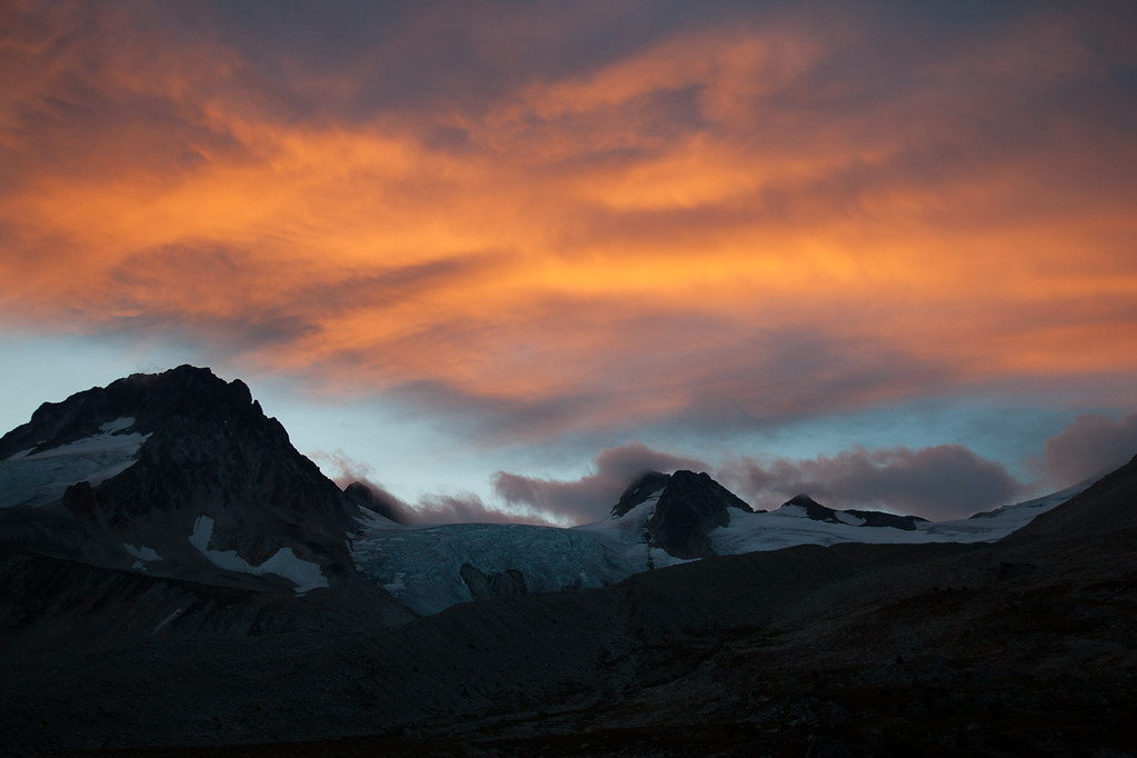
Morning Sun Lighting Up the Sky
Sunrise over Ethelweard
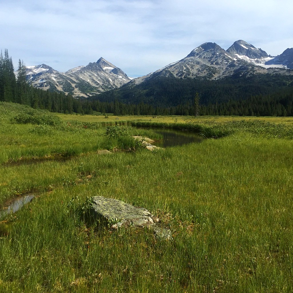
2015 Day 213 - Backpacking Slim Creek
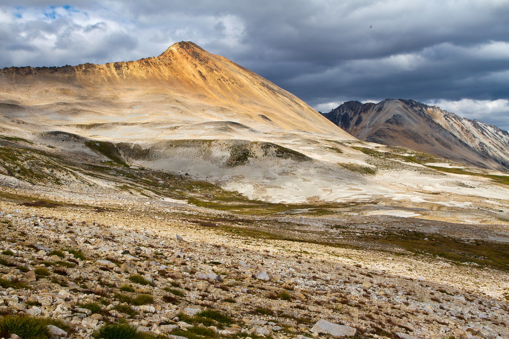
More Great Views

Fabulous Views Back Towards the Pass

Little Zoom View
Another crap view :-)

Yea, View Everywhere

Great Views As We Move Up The Opposing Ridge

More "Junk" Views
Pretty Good Morning View!
Mapa de Tuber Hill, Squamish-Lillooet A, BC V0N, Canadá
Buscar otro lugar
Lugares cercanos
Mount Ethelweard, Squamish-Lillooet A, BC V0N, Canadá
Plinth Peak, Squamish-Lillooet C, BC V0N, Canadá
Mount Vayu, Squamish-Lillooet A, BC V0N, Canadá
Mount Vic, Cariboo K, BC V0L, Canadá
Taseko Mountain, Cariboo K, BC V0L, Canadá
Squamish-Lillooet A, BC, Canadá
Gold Bridge, BC V0N, Canadá
Gun Creek Rd, Gold Bridge, BC V0K 1P0, Canadá
Hurley Road, Hurley Rd, Squamish-Lillooet A, BC V0N, Canadá
Tyaughton Lake, Squamish-Lillooet A, BC, Canadá
Shulaps Peak, Squamish-Lillooet A, BC V0K, Canadá
Whitecap Mountain, Squamish-Lillooet B, BC V0N, Canadá
Cariboo K, BC, Canadá
Búsquedas recientes
- Horas de salida y puesta de sol de Leguwa, Nepal
- Horas de salida y puesta de sol de Shustino, Vladimir Oblast, Russia
- Horas de salida y puesta de sol de Lampiasi St, Sarasota, FL, USA
- Horas de salida y puesta de sol de Japón, 〒- Toyama, Kubomotomachi, 12−31 APAガーデンコート稲荷
- Horas de salida y puesta de sol de Jialuohu, Datong Township, Yilan County, Taiwán
- Horas de salida y puesta de sol de 大下港, Sekizenoge, Imabari, Prefectura de Ehime -, Japón
- Horas de salida y puesta de sol de Oge port Ferry Terminal, -1 Sekizenōge, Imabari, Ehime -, Japón
- Horas de salida y puesta de sol de San Telmo, Cdad. Autónoma de Buenos Aires, Argentina
- Horas de salida y puesta de sol de Congressional Dr, Stevensville, MD, USA
- Horas de salida y puesta de sol de Papingo 04, Grecia