Horas de salida y puesta de sol de Paulhac, Francia
Location: Italia > Auvergne Rhône-Alpes > Cantal >
Zona horaria:
Europe/Paris
Hora local:
2024-05-14 06:47:56
Longitud:
2.904392
Latitud:
45.006613
Salida de sol de hoy:
06:19:26 AM
Puesta de sol de hoy:
09:10:02 PM
La duración del día hoy:
14h 50m 36s
Salida de sol de mañana:
06:18:19 AM
Puesta de sol de mañana:
09:11:11 PM
La duración del día mañana:
14h 52m 52s
Mostrar todas las fechas
| Fecha | Salida de sol | Puesta de sol | Duración del día |
|---|---|---|---|
| 01/01/2024 | 08:26:32 AM | 05:17:18 PM | 8h 50m 46s |
| 02/01/2024 | 08:26:34 AM | 05:18:13 PM | 8h 51m 39s |
| 03/01/2024 | 08:26:32 AM | 05:19:10 PM | 8h 52m 38s |
| 04/01/2024 | 08:26:28 AM | 05:20:09 PM | 8h 53m 41s |
| 05/01/2024 | 08:26:21 AM | 05:21:09 PM | 8h 54m 48s |
| 06/01/2024 | 08:26:12 AM | 05:22:11 PM | 8h 55m 59s |
| 07/01/2024 | 08:26:00 AM | 05:23:15 PM | 8h 57m 15s |
| 08/01/2024 | 08:25:45 AM | 05:24:21 PM | 8h 58m 36s |
| 09/01/2024 | 08:25:28 AM | 05:25:28 PM | 9h 0m 0s |
| 10/01/2024 | 08:25:09 AM | 05:26:36 PM | 9h 1m 27s |
| 11/01/2024 | 08:24:46 AM | 05:27:46 PM | 9h 3m 0s |
| 12/01/2024 | 08:24:22 AM | 05:28:58 PM | 9h 4m 36s |
| 13/01/2024 | 08:23:55 AM | 05:30:10 PM | 9h 6m 15s |
| 14/01/2024 | 08:23:25 AM | 05:31:24 PM | 9h 7m 59s |
| 15/01/2024 | 08:22:53 AM | 05:32:39 PM | 9h 9m 46s |
| 16/01/2024 | 08:22:18 AM | 05:33:55 PM | 9h 11m 37s |
| 17/01/2024 | 08:21:41 AM | 05:35:12 PM | 9h 13m 31s |
| 18/01/2024 | 08:21:02 AM | 05:36:30 PM | 9h 15m 28s |
| 19/01/2024 | 08:20:20 AM | 05:37:49 PM | 9h 17m 29s |
| 20/01/2024 | 08:19:36 AM | 05:39:09 PM | 9h 19m 33s |
| 21/01/2024 | 08:18:50 AM | 05:40:29 PM | 9h 21m 39s |
| 22/01/2024 | 08:18:01 AM | 05:41:50 PM | 9h 23m 49s |
| 23/01/2024 | 08:17:10 AM | 05:43:12 PM | 9h 26m 2s |
| 24/01/2024 | 08:16:17 AM | 05:44:35 PM | 9h 28m 18s |
| 25/01/2024 | 08:15:22 AM | 05:45:58 PM | 9h 30m 36s |
| 26/01/2024 | 08:14:25 AM | 05:47:21 PM | 9h 32m 56s |
| 27/01/2024 | 08:13:26 AM | 05:48:45 PM | 9h 35m 19s |
| 28/01/2024 | 08:12:25 AM | 05:50:10 PM | 9h 37m 45s |
| 29/01/2024 | 08:11:21 AM | 05:51:35 PM | 9h 40m 14s |
| 30/01/2024 | 08:10:16 AM | 05:53:00 PM | 9h 42m 44s |
| 31/01/2024 | 08:09:09 AM | 05:54:25 PM | 9h 45m 16s |
| 01/02/2024 | 08:08:00 AM | 05:55:51 PM | 9h 47m 51s |
| 02/02/2024 | 08:06:50 AM | 05:57:16 PM | 9h 50m 26s |
| 03/02/2024 | 08:05:37 AM | 05:58:42 PM | 9h 53m 5s |
| 04/02/2024 | 08:04:23 AM | 06:00:08 PM | 9h 55m 45s |
| 05/02/2024 | 08:03:07 AM | 06:01:34 PM | 9h 58m 27s |
| 06/02/2024 | 08:01:49 AM | 06:03:00 PM | 10h 1m 11s |
| 07/02/2024 | 08:00:30 AM | 06:04:27 PM | 10h 3m 57s |
| 08/02/2024 | 07:59:09 AM | 06:05:53 PM | 10h 6m 44s |
| 09/02/2024 | 07:57:47 AM | 06:07:19 PM | 10h 9m 32s |
| 10/02/2024 | 07:56:23 AM | 06:08:45 PM | 10h 12m 22s |
| 11/02/2024 | 07:54:58 AM | 06:10:10 PM | 10h 15m 12s |
| 12/02/2024 | 07:53:32 AM | 06:11:36 PM | 10h 18m 4s |
| 13/02/2024 | 07:52:04 AM | 06:13:02 PM | 10h 20m 58s |
| 14/02/2024 | 07:50:34 AM | 06:14:27 PM | 10h 23m 53s |
| 15/02/2024 | 07:49:04 AM | 06:15:53 PM | 10h 26m 49s |
| 16/02/2024 | 07:47:32 AM | 06:17:18 PM | 10h 29m 46s |
| 17/02/2024 | 07:45:59 AM | 06:18:42 PM | 10h 32m 43s |
| 18/02/2024 | 07:44:25 AM | 06:20:07 PM | 10h 35m 42s |
| 19/02/2024 | 07:42:50 AM | 06:21:31 PM | 10h 38m 41s |
| 20/02/2024 | 07:41:13 AM | 06:22:56 PM | 10h 41m 43s |
| 21/02/2024 | 07:39:36 AM | 06:24:19 PM | 10h 44m 43s |
| 22/02/2024 | 07:37:57 AM | 06:25:43 PM | 10h 47m 46s |
| 23/02/2024 | 07:36:18 AM | 06:27:06 PM | 10h 50m 48s |
| 24/02/2024 | 07:34:38 AM | 06:28:29 PM | 10h 53m 51s |
| 25/02/2024 | 07:32:56 AM | 06:29:52 PM | 10h 56m 56s |
| 26/02/2024 | 07:31:14 AM | 06:31:15 PM | 11h 0m 1s |
| 27/02/2024 | 07:29:31 AM | 06:32:37 PM | 11h 3m 6s |
| 28/02/2024 | 07:27:47 AM | 06:33:59 PM | 11h 6m 12s |
| 29/02/2024 | 07:26:03 AM | 06:35:21 PM | 11h 9m 18s |
| 01/03/2024 | 07:24:18 AM | 06:36:42 PM | 11h 12m 24s |
| 02/03/2024 | 07:22:32 AM | 06:38:03 PM | 11h 15m 31s |
| 03/03/2024 | 07:20:45 AM | 06:39:24 PM | 11h 18m 39s |
| 04/03/2024 | 07:18:58 AM | 06:40:44 PM | 11h 21m 46s |
| 05/03/2024 | 07:17:10 AM | 06:42:05 PM | 11h 24m 55s |
| 06/03/2024 | 07:15:22 AM | 06:43:25 PM | 11h 28m 3s |
| 07/03/2024 | 07:13:33 AM | 06:44:44 PM | 11h 31m 11s |
| 08/03/2024 | 07:11:44 AM | 06:46:04 PM | 11h 34m 20s |
| 09/03/2024 | 07:09:54 AM | 06:47:23 PM | 11h 37m 29s |
| 10/03/2024 | 07:08:04 AM | 06:48:42 PM | 11h 40m 38s |
| 11/03/2024 | 07:06:13 AM | 06:50:01 PM | 11h 43m 48s |
| 12/03/2024 | 07:04:22 AM | 06:51:19 PM | 11h 46m 57s |
| 13/03/2024 | 07:02:31 AM | 06:52:38 PM | 11h 50m 7s |
| 14/03/2024 | 07:00:39 AM | 06:53:56 PM | 11h 53m 17s |
| 15/03/2024 | 06:58:48 AM | 06:55:14 PM | 11h 56m 26s |
| 16/03/2024 | 06:56:56 AM | 06:56:32 PM | 11h 59m 36s |
| 17/03/2024 | 06:55:03 AM | 06:57:49 PM | 12h 2m 46s |
| 18/03/2024 | 06:53:11 AM | 06:59:06 PM | 12h 5m 55s |
| 19/03/2024 | 06:51:18 AM | 07:00:24 PM | 12h 9m 6s |
| 20/03/2024 | 06:49:26 AM | 07:01:41 PM | 12h 12m 15s |
| 21/03/2024 | 06:47:33 AM | 07:02:58 PM | 12h 15m 25s |
| 22/03/2024 | 06:45:40 AM | 07:04:14 PM | 12h 18m 34s |
| 23/03/2024 | 06:43:47 AM | 07:05:31 PM | 12h 21m 44s |
| 24/03/2024 | 06:41:55 AM | 07:06:48 PM | 12h 24m 53s |
| 25/03/2024 | 06:40:02 AM | 07:08:04 PM | 12h 28m 2s |
| 26/03/2024 | 06:38:09 AM | 07:09:21 PM | 12h 31m 12s |
| 27/03/2024 | 06:36:17 AM | 07:10:37 PM | 12h 34m 20s |
| 28/03/2024 | 06:34:25 AM | 07:11:53 PM | 12h 37m 28s |
| 29/03/2024 | 06:32:32 AM | 07:13:09 PM | 12h 40m 37s |
| 30/03/2024 | 06:30:40 AM | 07:14:25 PM | 12h 43m 45s |
| 31/03/2024 | 07:28:53 AM | 08:15:38 PM | 12h 46m 45s |
| 01/04/2024 | 07:27:02 AM | 08:16:54 PM | 12h 49m 52s |
| 02/04/2024 | 07:25:11 AM | 08:18:10 PM | 12h 52m 59s |
| 03/04/2024 | 07:23:20 AM | 08:19:26 PM | 12h 56m 6s |
| 04/04/2024 | 07:21:29 AM | 08:20:42 PM | 12h 59m 13s |
| 05/04/2024 | 07:19:39 AM | 08:21:58 PM | 13h 2m 19s |
| 06/04/2024 | 07:17:50 AM | 08:23:14 PM | 13h 5m 24s |
| 07/04/2024 | 07:16:01 AM | 08:24:30 PM | 13h 8m 29s |
| 08/04/2024 | 07:14:12 AM | 08:25:45 PM | 13h 11m 33s |
| 09/04/2024 | 07:12:24 AM | 08:27:01 PM | 13h 14m 37s |
| 10/04/2024 | 07:10:36 AM | 08:28:17 PM | 13h 17m 41s |
| 11/04/2024 | 07:08:49 AM | 08:29:33 PM | 13h 20m 44s |
| 12/04/2024 | 07:07:03 AM | 08:30:49 PM | 13h 23m 46s |
| 13/04/2024 | 07:05:17 AM | 08:32:05 PM | 13h 26m 48s |
| 14/04/2024 | 07:03:32 AM | 08:33:20 PM | 13h 29m 48s |
| 15/04/2024 | 07:01:47 AM | 08:34:36 PM | 13h 32m 49s |
| 16/04/2024 | 07:00:04 AM | 08:35:52 PM | 13h 35m 48s |
| 17/04/2024 | 06:58:21 AM | 08:37:08 PM | 13h 38m 47s |
| 18/04/2024 | 06:56:39 AM | 08:38:24 PM | 13h 41m 45s |
| 19/04/2024 | 06:54:58 AM | 08:39:39 PM | 13h 44m 41s |
| 20/04/2024 | 06:53:17 AM | 08:40:55 PM | 13h 47m 38s |
| 21/04/2024 | 06:51:38 AM | 08:42:11 PM | 13h 50m 33s |
| 22/04/2024 | 06:50:00 AM | 08:43:26 PM | 13h 53m 26s |
| 23/04/2024 | 06:48:22 AM | 08:44:42 PM | 13h 56m 20s |
| 24/04/2024 | 06:46:46 AM | 08:45:57 PM | 13h 59m 11s |
| 25/04/2024 | 06:45:11 AM | 08:47:13 PM | 14h 2m 2s |
| 26/04/2024 | 06:43:36 AM | 08:48:28 PM | 14h 4m 52s |
| 27/04/2024 | 06:42:03 AM | 08:49:43 PM | 14h 7m 40s |
| 28/04/2024 | 06:40:31 AM | 08:50:58 PM | 14h 10m 27s |
| 29/04/2024 | 06:39:01 AM | 08:52:13 PM | 14h 13m 12s |
| 30/04/2024 | 06:37:31 AM | 08:53:28 PM | 14h 15m 57s |
| 01/05/2024 | 06:36:03 AM | 08:54:42 PM | 14h 18m 39s |
| 02/05/2024 | 06:34:36 AM | 08:55:56 PM | 14h 21m 20s |
| 03/05/2024 | 06:33:11 AM | 08:57:10 PM | 14h 23m 59s |
| 04/05/2024 | 06:31:46 AM | 08:58:24 PM | 14h 26m 38s |
| 05/05/2024 | 06:30:24 AM | 08:59:37 PM | 14h 29m 13s |
| 06/05/2024 | 06:29:02 AM | 09:00:50 PM | 14h 31m 48s |
| 07/05/2024 | 06:27:43 AM | 09:02:03 PM | 14h 34m 20s |
| 08/05/2024 | 06:26:24 AM | 09:03:15 PM | 14h 36m 51s |
| 09/05/2024 | 06:25:08 AM | 09:04:27 PM | 14h 39m 19s |
| 10/05/2024 | 06:23:53 AM | 09:05:39 PM | 14h 41m 46s |
| 11/05/2024 | 06:22:39 AM | 09:06:50 PM | 14h 44m 11s |
| 12/05/2024 | 06:21:28 AM | 09:08:00 PM | 14h 46m 32s |
| 13/05/2024 | 06:20:18 AM | 09:09:10 PM | 14h 48m 52s |
| 14/05/2024 | 06:19:09 AM | 09:10:19 PM | 14h 51m 10s |
| 15/05/2024 | 06:18:03 AM | 09:11:28 PM | 14h 53m 25s |
| 16/05/2024 | 06:16:58 AM | 09:12:36 PM | 14h 55m 38s |
| 17/05/2024 | 06:15:55 AM | 09:13:43 PM | 14h 57m 48s |
| 18/05/2024 | 06:14:54 AM | 09:14:49 PM | 14h 59m 55s |
| 19/05/2024 | 06:13:55 AM | 09:15:55 PM | 15h 2m 0s |
| 20/05/2024 | 06:12:58 AM | 09:16:59 PM | 15h 4m 1s |
| 21/05/2024 | 06:12:03 AM | 09:18:03 PM | 15h 6m 0s |
| 22/05/2024 | 06:11:10 AM | 09:19:06 PM | 15h 7m 56s |
| 23/05/2024 | 06:10:19 AM | 09:20:07 PM | 15h 9m 48s |
| 24/05/2024 | 06:09:30 AM | 09:21:08 PM | 15h 11m 38s |
| 25/05/2024 | 06:08:43 AM | 09:22:08 PM | 15h 13m 25s |
| 26/05/2024 | 06:07:59 AM | 09:23:06 PM | 15h 15m 7s |
| 27/05/2024 | 06:07:16 AM | 09:24:03 PM | 15h 16m 47s |
| 28/05/2024 | 06:06:35 AM | 09:24:59 PM | 15h 18m 24s |
| 29/05/2024 | 06:05:57 AM | 09:25:54 PM | 15h 19m 57s |
| 30/05/2024 | 06:05:21 AM | 09:26:47 PM | 15h 21m 26s |
| 31/05/2024 | 06:04:47 AM | 09:27:39 PM | 15h 22m 52s |
| 01/06/2024 | 06:04:16 AM | 09:28:29 PM | 15h 24m 13s |
| 02/06/2024 | 06:03:47 AM | 09:29:18 PM | 15h 25m 31s |
| 03/06/2024 | 06:03:20 AM | 09:30:06 PM | 15h 26m 46s |
| 04/06/2024 | 06:02:55 AM | 09:30:51 PM | 15h 27m 56s |
| 05/06/2024 | 06:02:32 AM | 09:31:35 PM | 15h 29m 3s |
| 06/06/2024 | 06:02:12 AM | 09:32:18 PM | 15h 30m 6s |
| 07/06/2024 | 06:01:55 AM | 09:32:58 PM | 15h 31m 3s |
| 08/06/2024 | 06:01:39 AM | 09:33:37 PM | 15h 31m 58s |
| 09/06/2024 | 06:01:26 AM | 09:34:14 PM | 15h 32m 48s |
| 10/06/2024 | 06:01:15 AM | 09:34:49 PM | 15h 33m 34s |
| 11/06/2024 | 06:01:07 AM | 09:35:22 PM | 15h 34m 15s |
| 12/06/2024 | 06:01:01 AM | 09:35:53 PM | 15h 34m 52s |
| 13/06/2024 | 06:00:57 AM | 09:36:22 PM | 15h 35m 25s |
| 14/06/2024 | 06:00:55 AM | 09:36:49 PM | 15h 35m 54s |
| 15/06/2024 | 06:00:56 AM | 09:37:14 PM | 15h 36m 18s |
| 16/06/2024 | 06:00:59 AM | 09:37:37 PM | 15h 36m 38s |
| 17/06/2024 | 06:01:05 AM | 09:37:58 PM | 15h 36m 53s |
| 18/06/2024 | 06:01:12 AM | 09:38:16 PM | 15h 37m 4s |
| 19/06/2024 | 06:01:22 AM | 09:38:33 PM | 15h 37m 11s |
| 20/06/2024 | 06:01:34 AM | 09:38:47 PM | 15h 37m 13s |
| 21/06/2024 | 06:01:48 AM | 09:38:59 PM | 15h 37m 11s |
| 22/06/2024 | 06:02:05 AM | 09:39:08 PM | 15h 37m 3s |
| 23/06/2024 | 06:02:23 AM | 09:39:15 PM | 15h 36m 52s |
| 24/06/2024 | 06:02:44 AM | 09:39:20 PM | 15h 36m 36s |
| 25/06/2024 | 06:03:07 AM | 09:39:23 PM | 15h 36m 16s |
| 26/06/2024 | 06:03:32 AM | 09:39:23 PM | 15h 35m 51s |
| 27/06/2024 | 06:03:59 AM | 09:39:21 PM | 15h 35m 22s |
| 28/06/2024 | 06:04:27 AM | 09:39:17 PM | 15h 34m 50s |
| 29/06/2024 | 06:04:58 AM | 09:39:10 PM | 15h 34m 12s |
| 30/06/2024 | 06:05:31 AM | 09:39:00 PM | 15h 33m 29s |
| 01/07/2024 | 06:06:05 AM | 09:38:49 PM | 15h 32m 44s |
| 02/07/2024 | 06:06:41 AM | 09:38:35 PM | 15h 31m 54s |
| 03/07/2024 | 06:07:19 AM | 09:38:19 PM | 15h 31m 0s |
| 04/07/2024 | 06:07:59 AM | 09:38:00 PM | 15h 30m 1s |
| 05/07/2024 | 06:08:41 AM | 09:37:39 PM | 15h 28m 58s |
| 06/07/2024 | 06:09:24 AM | 09:37:15 PM | 15h 27m 51s |
| 07/07/2024 | 06:10:08 AM | 09:36:50 PM | 15h 26m 42s |
| 08/07/2024 | 06:10:54 AM | 09:36:21 PM | 15h 25m 27s |
| 09/07/2024 | 06:11:42 AM | 09:35:51 PM | 15h 24m 9s |
| 10/07/2024 | 06:12:31 AM | 09:35:18 PM | 15h 22m 47s |
| 11/07/2024 | 06:13:21 AM | 09:34:43 PM | 15h 21m 22s |
| 12/07/2024 | 06:14:13 AM | 09:34:06 PM | 15h 19m 53s |
| 13/07/2024 | 06:15:06 AM | 09:33:27 PM | 15h 18m 21s |
| 14/07/2024 | 06:16:00 AM | 09:32:45 PM | 15h 16m 45s |
| 15/07/2024 | 06:16:56 AM | 09:32:01 PM | 15h 15m 5s |
| 16/07/2024 | 06:17:52 AM | 09:31:15 PM | 15h 13m 23s |
| 17/07/2024 | 06:18:50 AM | 09:30:27 PM | 15h 11m 37s |
| 18/07/2024 | 06:19:49 AM | 09:29:37 PM | 15h 9m 48s |
| 19/07/2024 | 06:20:48 AM | 09:28:44 PM | 15h 7m 56s |
| 20/07/2024 | 06:21:49 AM | 09:27:50 PM | 15h 6m 1s |
| 21/07/2024 | 06:22:50 AM | 09:26:54 PM | 15h 4m 4s |
| 22/07/2024 | 06:23:52 AM | 09:25:55 PM | 15h 2m 3s |
| 23/07/2024 | 06:24:56 AM | 09:24:55 PM | 14h 59m 59s |
| 24/07/2024 | 06:25:59 AM | 09:23:52 PM | 14h 57m 53s |
| 25/07/2024 | 06:27:04 AM | 09:22:48 PM | 14h 55m 44s |
| 26/07/2024 | 06:28:09 AM | 09:21:42 PM | 14h 53m 33s |
| 27/07/2024 | 06:29:15 AM | 09:20:34 PM | 14h 51m 19s |
| 28/07/2024 | 06:30:21 AM | 09:19:25 PM | 14h 49m 4s |
| 29/07/2024 | 06:31:28 AM | 09:18:13 PM | 14h 46m 45s |
| 30/07/2024 | 06:32:36 AM | 09:17:00 PM | 14h 44m 24s |
| 31/07/2024 | 06:33:43 AM | 09:15:45 PM | 14h 42m 2s |
| 01/08/2024 | 06:34:52 AM | 09:14:29 PM | 14h 39m 37s |
| 02/08/2024 | 06:36:01 AM | 09:13:11 PM | 14h 37m 10s |
| 03/08/2024 | 06:37:10 AM | 09:11:51 PM | 14h 34m 41s |
| 04/08/2024 | 06:38:19 AM | 09:10:30 PM | 14h 32m 11s |
| 05/08/2024 | 06:39:29 AM | 09:09:07 PM | 14h 29m 38s |
| 06/08/2024 | 06:40:39 AM | 09:07:43 PM | 14h 27m 4s |
| 07/08/2024 | 06:41:49 AM | 09:06:18 PM | 14h 24m 29s |
| 08/08/2024 | 06:42:59 AM | 09:04:51 PM | 14h 21m 52s |
| 09/08/2024 | 06:44:10 AM | 09:03:22 PM | 14h 19m 12s |
| 10/08/2024 | 06:45:21 AM | 09:01:53 PM | 14h 16m 32s |
| 11/08/2024 | 06:46:32 AM | 09:00:22 PM | 14h 13m 50s |
| 12/08/2024 | 06:47:43 AM | 08:58:50 PM | 14h 11m 7s |
| 13/08/2024 | 06:48:54 AM | 08:57:16 PM | 14h 8m 22s |
| 14/08/2024 | 06:50:05 AM | 08:55:42 PM | 14h 5m 37s |
| 15/08/2024 | 06:51:17 AM | 08:54:06 PM | 14h 2m 49s |
| 16/08/2024 | 06:52:28 AM | 08:52:29 PM | 14h 0m 1s |
| 17/08/2024 | 06:53:40 AM | 08:50:51 PM | 13h 57m 11s |
| 18/08/2024 | 06:54:51 AM | 08:49:12 PM | 13h 54m 21s |
| 19/08/2024 | 06:56:03 AM | 08:47:33 PM | 13h 51m 30s |
| 20/08/2024 | 06:57:14 AM | 08:45:52 PM | 13h 48m 38s |
| 21/08/2024 | 06:58:26 AM | 08:44:10 PM | 13h 45m 44s |
| 22/08/2024 | 06:59:37 AM | 08:42:27 PM | 13h 42m 50s |
| 23/08/2024 | 07:00:49 AM | 08:40:44 PM | 13h 39m 55s |
| 24/08/2024 | 07:02:01 AM | 08:38:59 PM | 13h 36m 58s |
| 25/08/2024 | 07:03:12 AM | 08:37:14 PM | 13h 34m 2s |
| 26/08/2024 | 07:04:24 AM | 08:35:28 PM | 13h 31m 4s |
| 27/08/2024 | 07:05:35 AM | 08:33:42 PM | 13h 28m 7s |
| 28/08/2024 | 07:06:46 AM | 08:31:54 PM | 13h 25m 8s |
| 29/08/2024 | 07:07:58 AM | 08:30:06 PM | 13h 22m 8s |
| 30/08/2024 | 07:09:09 AM | 08:28:18 PM | 13h 19m 9s |
| 31/08/2024 | 07:10:21 AM | 08:26:29 PM | 13h 16m 8s |
| 01/09/2024 | 07:11:32 AM | 08:24:39 PM | 13h 13m 7s |
| 02/09/2024 | 07:12:43 AM | 08:22:49 PM | 13h 10m 6s |
| 03/09/2024 | 07:13:55 AM | 08:20:58 PM | 13h 7m 3s |
| 04/09/2024 | 07:15:06 AM | 08:19:07 PM | 13h 4m 1s |
| 05/09/2024 | 07:16:17 AM | 08:17:15 PM | 13h 0m 58s |
| 06/09/2024 | 07:17:28 AM | 08:15:23 PM | 12h 57m 55s |
| 07/09/2024 | 07:18:40 AM | 08:13:30 PM | 12h 54m 50s |
| 08/09/2024 | 07:19:51 AM | 08:11:37 PM | 12h 51m 46s |
| 09/09/2024 | 07:21:02 AM | 08:09:44 PM | 12h 48m 42s |
| 10/09/2024 | 07:22:13 AM | 08:07:51 PM | 12h 45m 38s |
| 11/09/2024 | 07:23:25 AM | 08:05:57 PM | 12h 42m 32s |
| 12/09/2024 | 07:24:36 AM | 08:04:03 PM | 12h 39m 27s |
| 13/09/2024 | 07:25:48 AM | 08:02:09 PM | 12h 36m 21s |
| 14/09/2024 | 07:26:59 AM | 08:00:15 PM | 12h 33m 16s |
| 15/09/2024 | 07:28:11 AM | 07:58:20 PM | 12h 30m 9s |
| 16/09/2024 | 07:29:22 AM | 07:56:26 PM | 12h 27m 4s |
| 17/09/2024 | 07:30:34 AM | 07:54:31 PM | 12h 23m 57s |
| 18/09/2024 | 07:31:46 AM | 07:52:36 PM | 12h 20m 50s |
| 19/09/2024 | 07:32:58 AM | 07:50:42 PM | 12h 17m 44s |
| 20/09/2024 | 07:34:10 AM | 07:48:47 PM | 12h 14m 37s |
| 21/09/2024 | 07:35:22 AM | 07:46:53 PM | 12h 11m 31s |
| 22/09/2024 | 07:36:34 AM | 07:44:58 PM | 12h 8m 24s |
| 23/09/2024 | 07:37:47 AM | 07:43:04 PM | 12h 5m 17s |
| 24/09/2024 | 07:38:59 AM | 07:41:09 PM | 12h 2m 10s |
| 25/09/2024 | 07:40:12 AM | 07:39:15 PM | 11h 59m 3s |
| 26/09/2024 | 07:41:25 AM | 07:37:21 PM | 11h 55m 56s |
| 27/09/2024 | 07:42:38 AM | 07:35:28 PM | 11h 52m 50s |
| 28/09/2024 | 07:43:52 AM | 07:33:34 PM | 11h 49m 42s |
| 29/09/2024 | 07:45:05 AM | 07:31:41 PM | 11h 46m 36s |
| 30/09/2024 | 07:46:19 AM | 07:29:48 PM | 11h 43m 29s |
| 01/10/2024 | 07:47:33 AM | 07:27:56 PM | 11h 40m 23s |
| 02/10/2024 | 07:48:47 AM | 07:26:04 PM | 11h 37m 17s |
| 03/10/2024 | 07:50:02 AM | 07:24:12 PM | 11h 34m 10s |
| 04/10/2024 | 07:51:16 AM | 07:22:21 PM | 11h 31m 5s |
| 05/10/2024 | 07:52:32 AM | 07:20:30 PM | 11h 27m 58s |
| 06/10/2024 | 07:53:47 AM | 07:18:40 PM | 11h 24m 53s |
| 07/10/2024 | 07:55:02 AM | 07:16:50 PM | 11h 21m 48s |
| 08/10/2024 | 07:56:18 AM | 07:15:01 PM | 11h 18m 43s |
| 09/10/2024 | 07:57:34 AM | 07:13:13 PM | 11h 15m 39s |
| 10/10/2024 | 07:58:51 AM | 07:11:25 PM | 11h 12m 34s |
| 11/10/2024 | 08:00:08 AM | 07:09:38 PM | 11h 9m 30s |
| 12/10/2024 | 08:01:25 AM | 07:07:51 PM | 11h 6m 26s |
| 13/10/2024 | 08:02:42 AM | 07:06:05 PM | 11h 3m 23s |
| 14/10/2024 | 08:04:00 AM | 07:04:21 PM | 11h 0m 21s |
| 15/10/2024 | 08:05:18 AM | 07:02:36 PM | 10h 57m 18s |
| 16/10/2024 | 08:06:36 AM | 07:00:53 PM | 10h 54m 17s |
| 17/10/2024 | 08:07:55 AM | 06:59:11 PM | 10h 51m 16s |
| 18/10/2024 | 08:09:13 AM | 06:57:29 PM | 10h 48m 16s |
| 19/10/2024 | 08:10:33 AM | 06:55:49 PM | 10h 45m 16s |
| 20/10/2024 | 08:11:52 AM | 06:54:09 PM | 10h 42m 17s |
| 21/10/2024 | 08:13:12 AM | 06:52:31 PM | 10h 39m 19s |
| 22/10/2024 | 08:14:32 AM | 06:50:53 PM | 10h 36m 21s |
| 23/10/2024 | 08:15:52 AM | 06:49:17 PM | 10h 33m 25s |
| 24/10/2024 | 08:17:13 AM | 06:47:42 PM | 10h 30m 29s |
| 25/10/2024 | 08:18:34 AM | 06:46:08 PM | 10h 27m 34s |
| 26/10/2024 | 08:19:55 AM | 06:44:35 PM | 10h 24m 40s |
| 27/10/2024 | 07:21:20 AM | 05:43:00 PM | 10h 21m 40s |
| 28/10/2024 | 07:22:41 AM | 05:41:30 PM | 10h 18m 49s |
| 29/10/2024 | 07:24:03 AM | 05:40:01 PM | 10h 15m 58s |
| 30/10/2024 | 07:25:25 AM | 05:38:34 PM | 10h 13m 9s |
| 31/10/2024 | 07:26:47 AM | 05:37:08 PM | 10h 10m 21s |
| 01/11/2024 | 07:28:09 AM | 05:35:43 PM | 10h 7m 34s |
| 02/11/2024 | 07:29:32 AM | 05:34:20 PM | 10h 4m 48s |
| 03/11/2024 | 07:30:54 AM | 05:32:59 PM | 10h 2m 5s |
| 04/11/2024 | 07:32:17 AM | 05:31:39 PM | 9h 59m 22s |
| 05/11/2024 | 07:33:39 AM | 05:30:21 PM | 9h 56m 42s |
| 06/11/2024 | 07:35:02 AM | 05:29:04 PM | 9h 54m 2s |
| 07/11/2024 | 07:36:24 AM | 05:27:49 PM | 9h 51m 25s |
| 08/11/2024 | 07:37:47 AM | 05:26:36 PM | 9h 48m 49s |
| 09/11/2024 | 07:39:09 AM | 05:25:25 PM | 9h 46m 16s |
| 10/11/2024 | 07:40:31 AM | 05:24:15 PM | 9h 43m 44s |
| 11/11/2024 | 07:41:53 AM | 05:23:08 PM | 9h 41m 15s |
| 12/11/2024 | 07:43:15 AM | 05:22:02 PM | 9h 38m 47s |
| 13/11/2024 | 07:44:36 AM | 05:20:58 PM | 9h 36m 22s |
| 14/11/2024 | 07:45:58 AM | 05:19:57 PM | 9h 33m 59s |
| 15/11/2024 | 07:47:19 AM | 05:18:57 PM | 9h 31m 38s |
| 16/11/2024 | 07:48:39 AM | 05:17:59 PM | 9h 29m 20s |
| 17/11/2024 | 07:49:59 AM | 05:17:04 PM | 9h 27m 5s |
| 18/11/2024 | 07:51:19 AM | 05:16:10 PM | 9h 24m 51s |
| 19/11/2024 | 07:52:37 AM | 05:15:19 PM | 9h 22m 42s |
| 20/11/2024 | 07:53:56 AM | 05:14:30 PM | 9h 20m 34s |
| 21/11/2024 | 07:55:14 AM | 05:13:44 PM | 9h 18m 30s |
| 22/11/2024 | 07:56:31 AM | 05:12:59 PM | 9h 16m 28s |
| 23/11/2024 | 07:57:47 AM | 05:12:17 PM | 9h 14m 30s |
| 24/11/2024 | 07:59:02 AM | 05:11:38 PM | 9h 12m 36s |
| 25/11/2024 | 08:00:16 AM | 05:11:01 PM | 9h 10m 45s |
| 26/11/2024 | 08:01:30 AM | 05:10:26 PM | 9h 8m 56s |
| 27/11/2024 | 08:02:42 AM | 05:09:54 PM | 9h 7m 12s |
| 28/11/2024 | 08:03:54 AM | 05:09:24 PM | 9h 5m 30s |
| 29/11/2024 | 08:05:04 AM | 05:08:56 PM | 9h 3m 52s |
| 30/11/2024 | 08:06:13 AM | 05:08:32 PM | 9h 2m 19s |
| 01/12/2024 | 08:07:21 AM | 05:08:09 PM | 9h 0m 48s |
| 02/12/2024 | 08:08:27 AM | 05:07:50 PM | 8h 59m 23s |
| 03/12/2024 | 08:09:32 AM | 05:07:33 PM | 8h 58m 1s |
| 04/12/2024 | 08:10:36 AM | 05:07:18 PM | 8h 56m 42s |
| 05/12/2024 | 08:11:38 AM | 05:07:07 PM | 8h 55m 29s |
| 06/12/2024 | 08:12:38 AM | 05:06:57 PM | 8h 54m 19s |
| 07/12/2024 | 08:13:37 AM | 05:06:51 PM | 8h 53m 14s |
| 08/12/2024 | 08:14:34 AM | 05:06:47 PM | 8h 52m 13s |
| 09/12/2024 | 08:15:29 AM | 05:06:46 PM | 8h 51m 17s |
| 10/12/2024 | 08:16:22 AM | 05:06:47 PM | 8h 50m 25s |
| 11/12/2024 | 08:17:14 AM | 05:06:51 PM | 8h 49m 37s |
| 12/12/2024 | 08:18:03 AM | 05:06:58 PM | 8h 48m 55s |
| 13/12/2024 | 08:18:51 AM | 05:07:08 PM | 8h 48m 17s |
| 14/12/2024 | 08:19:36 AM | 05:07:20 PM | 8h 47m 44s |
| 15/12/2024 | 08:20:20 AM | 05:07:35 PM | 8h 47m 15s |
| 16/12/2024 | 08:21:01 AM | 05:07:52 PM | 8h 46m 51s |
| 17/12/2024 | 08:21:40 AM | 05:08:12 PM | 8h 46m 32s |
| 18/12/2024 | 08:22:16 AM | 05:08:34 PM | 8h 46m 18s |
| 19/12/2024 | 08:22:51 AM | 05:08:59 PM | 8h 46m 8s |
| 20/12/2024 | 08:23:23 AM | 05:09:27 PM | 8h 46m 4s |
| 21/12/2024 | 08:23:52 AM | 05:09:57 PM | 8h 46m 5s |
| 22/12/2024 | 08:24:20 AM | 05:10:29 PM | 8h 46m 9s |
| 23/12/2024 | 08:24:44 AM | 05:11:04 PM | 8h 46m 20s |
| 24/12/2024 | 08:25:07 AM | 05:11:41 PM | 8h 46m 34s |
| 25/12/2024 | 08:25:26 AM | 05:12:21 PM | 8h 46m 55s |
| 26/12/2024 | 08:25:44 AM | 05:13:03 PM | 8h 47m 19s |
| 27/12/2024 | 08:25:58 AM | 05:13:47 PM | 8h 47m 49s |
| 28/12/2024 | 08:26:11 AM | 05:14:33 PM | 8h 48m 22s |
| 29/12/2024 | 08:26:20 AM | 05:15:22 PM | 8h 49m 2s |
| 30/12/2024 | 08:26:27 AM | 05:16:12 PM | 8h 49m 45s |
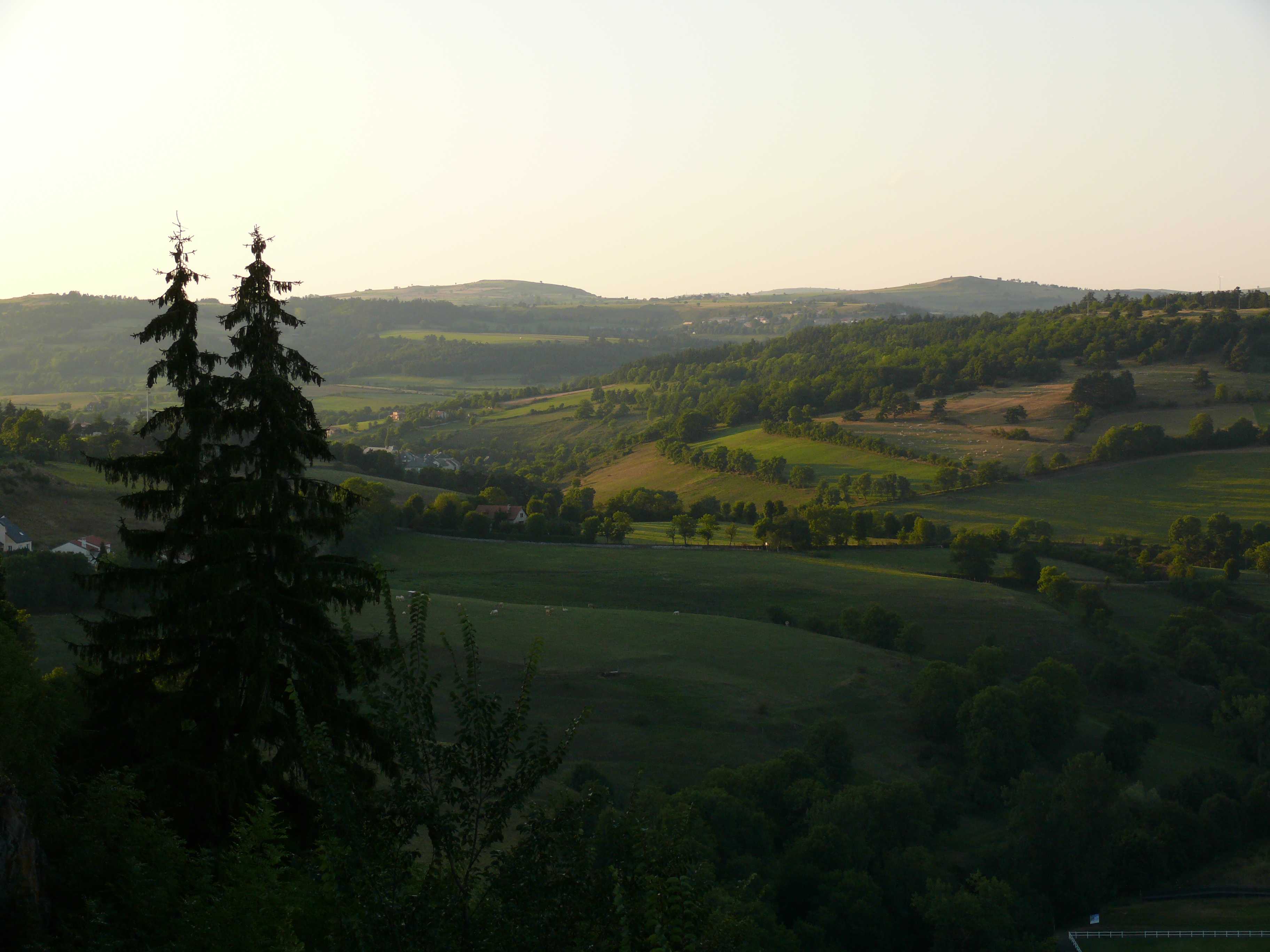
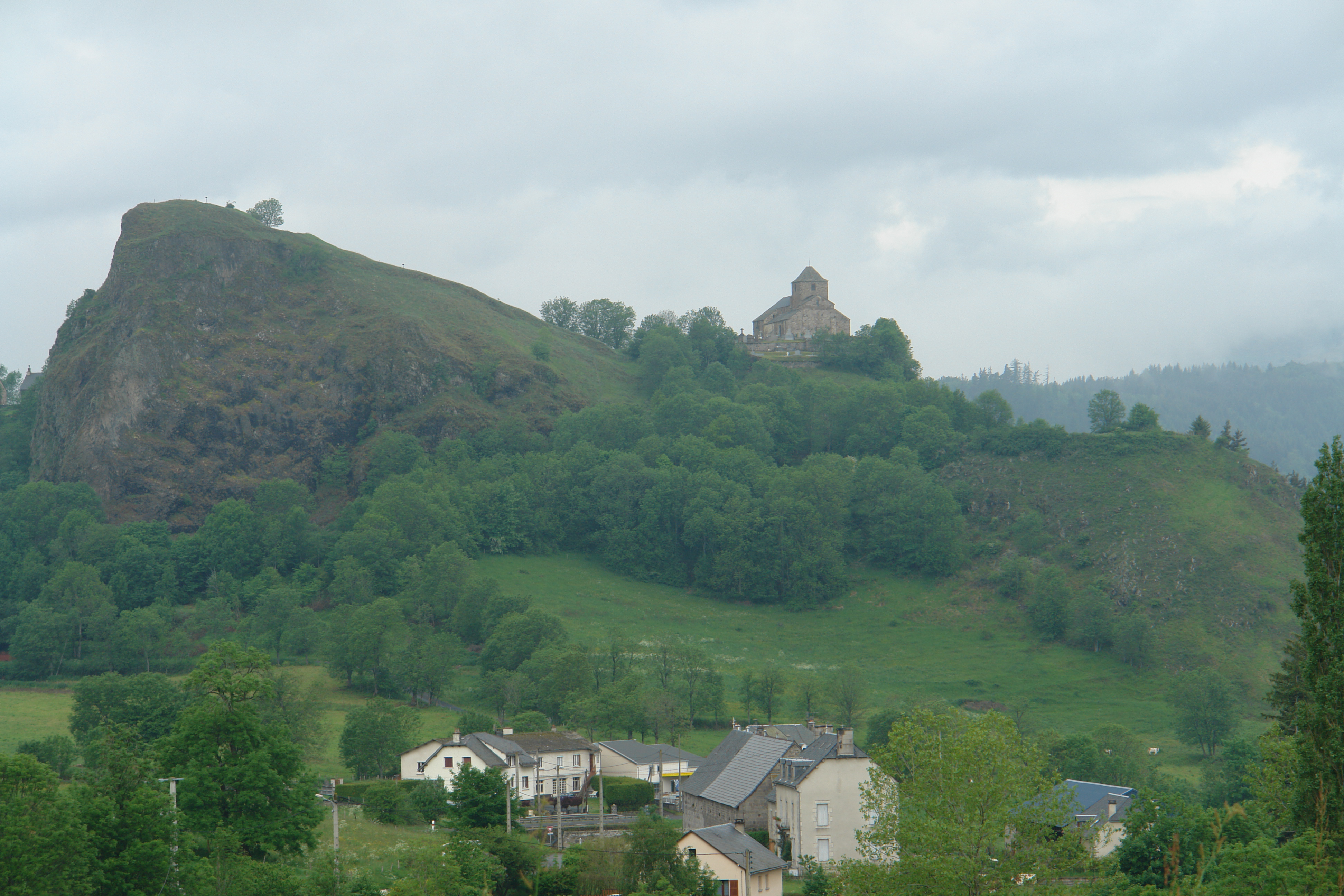
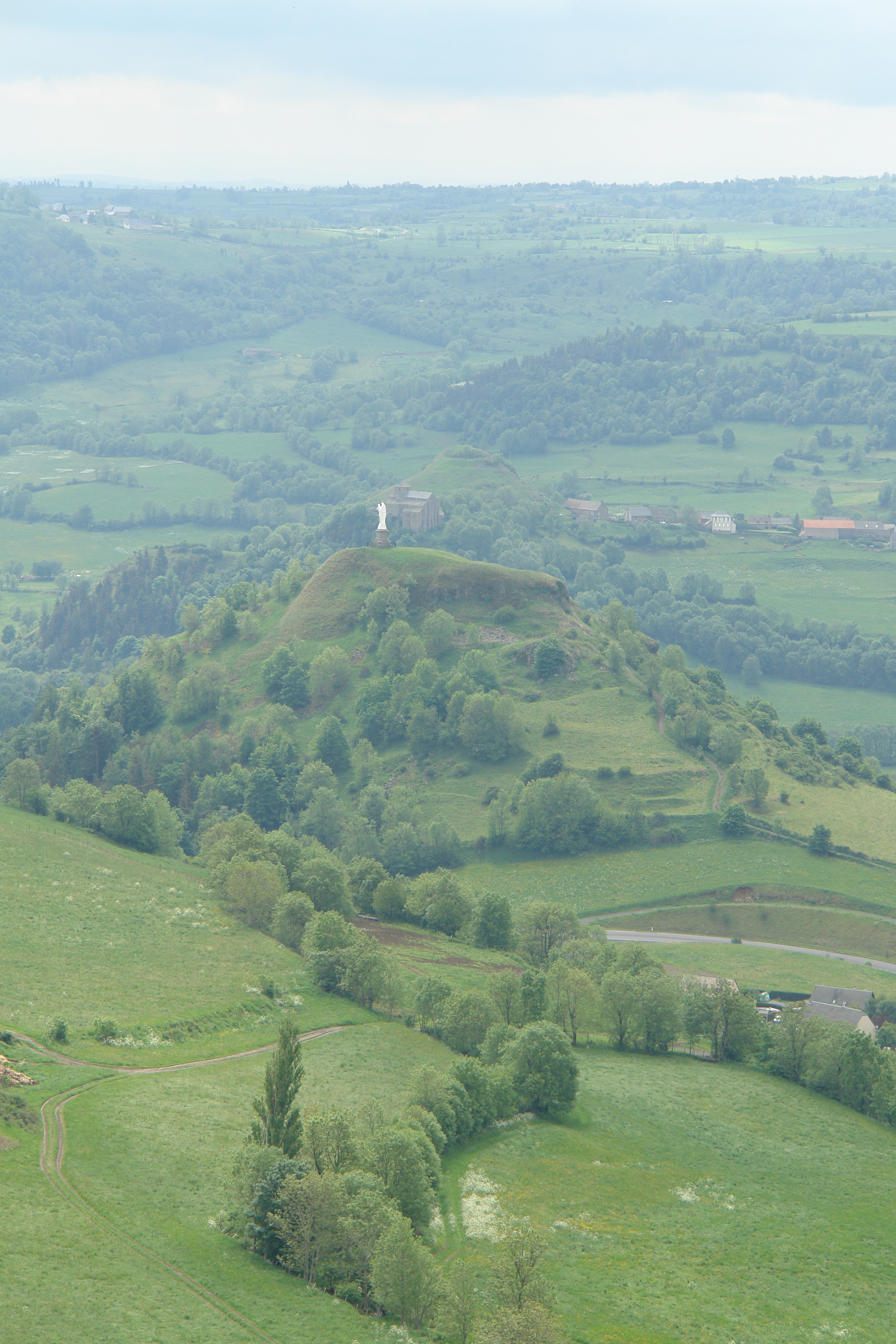
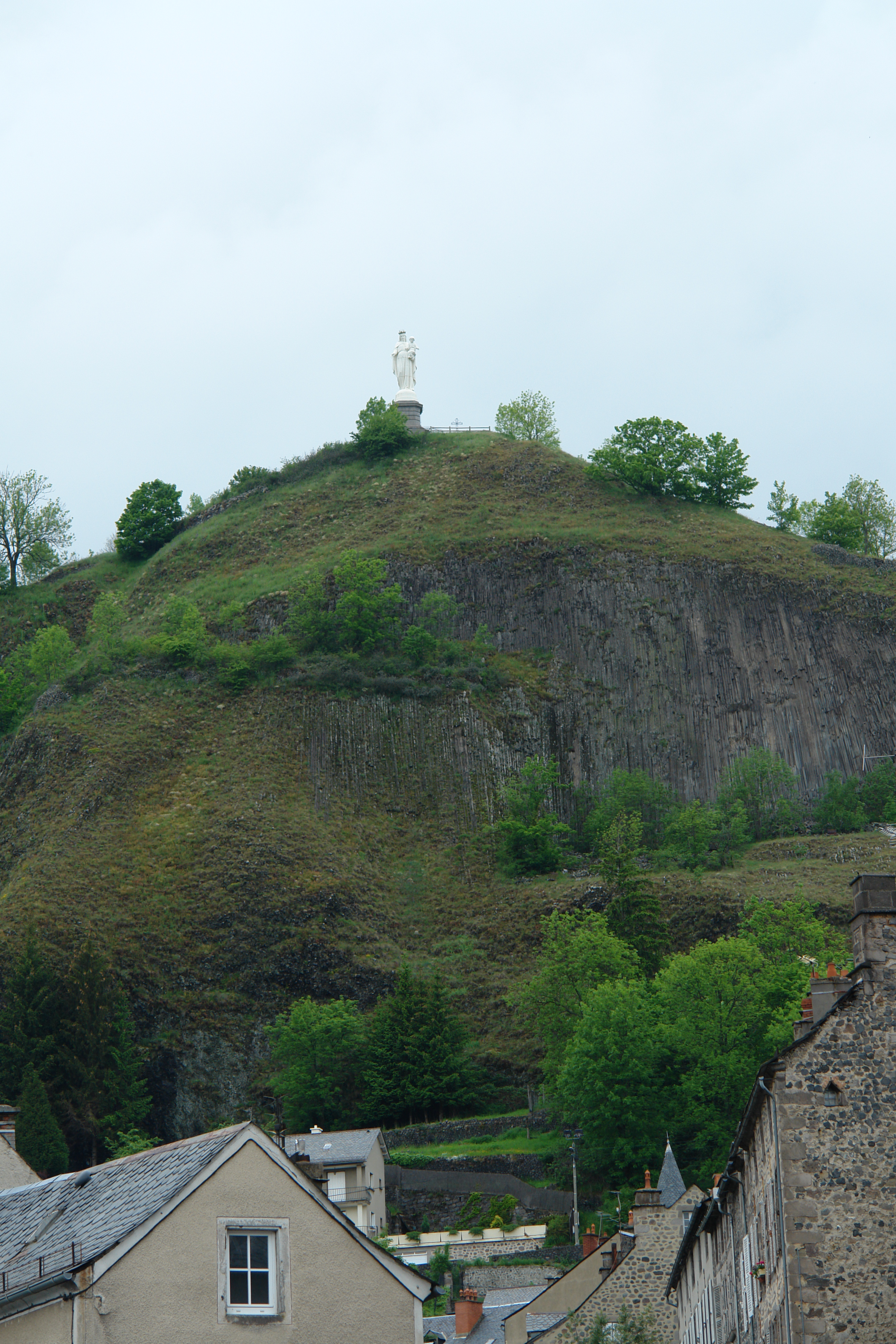
Fotos
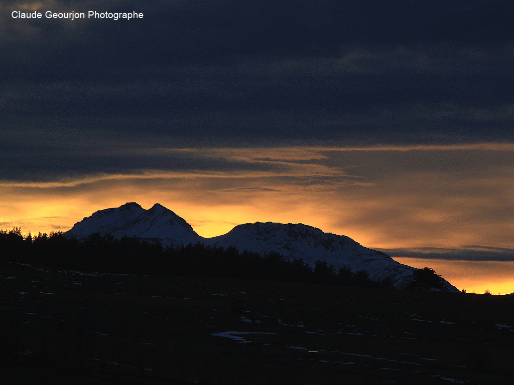
Monts du Cantal

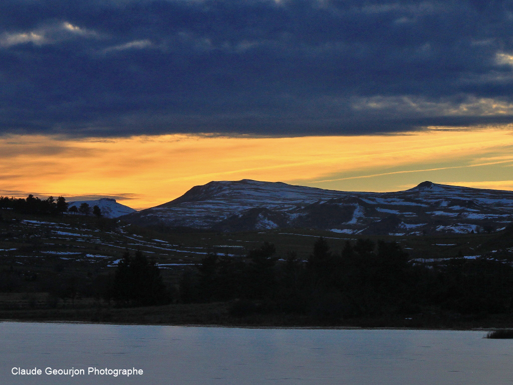
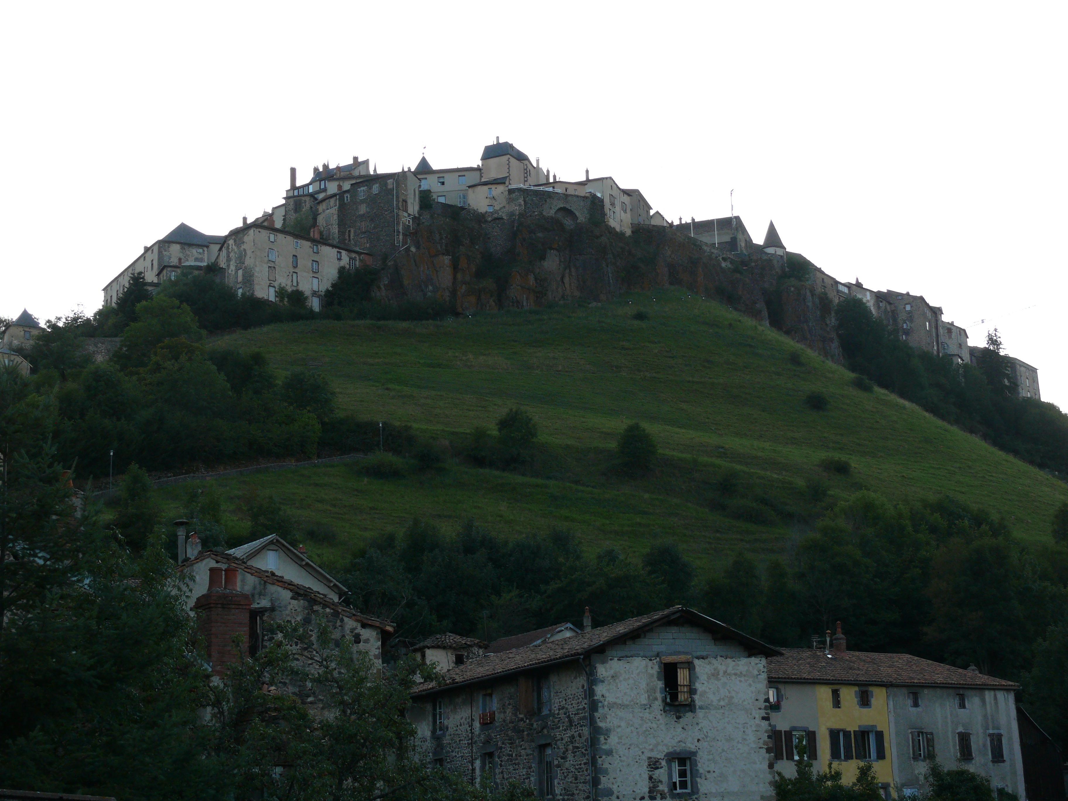
Coucher de Soleil Murat

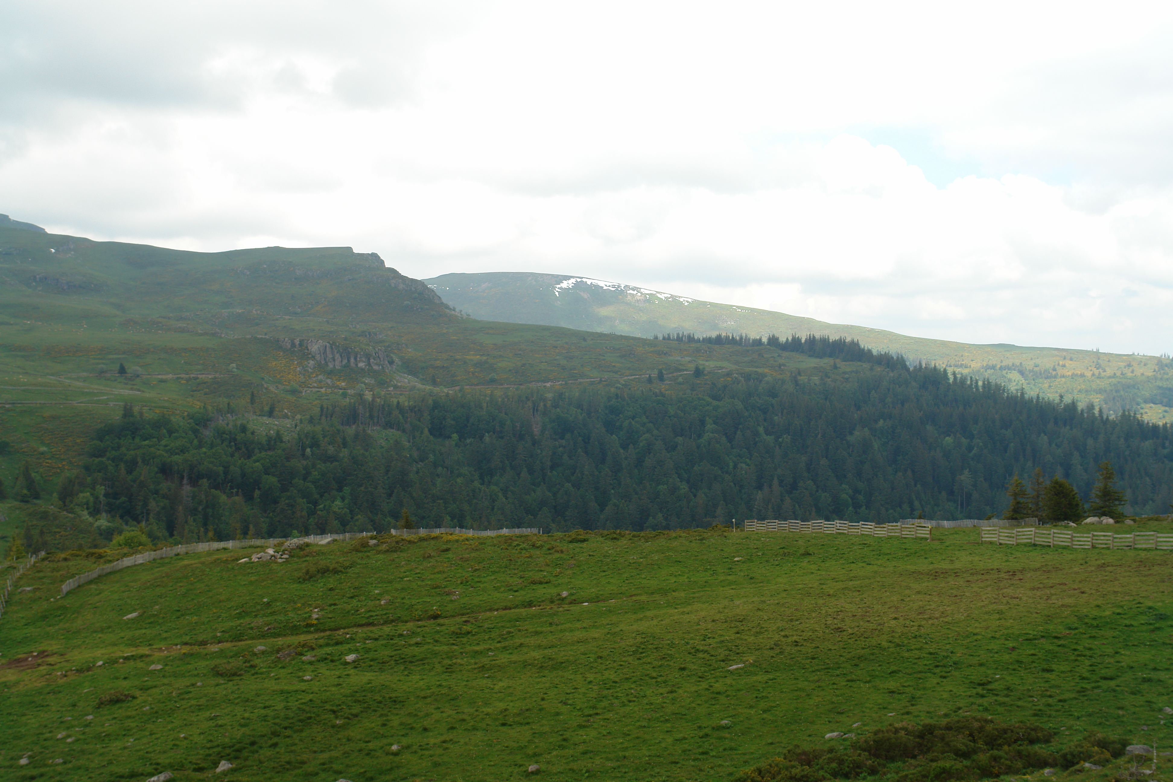
Griou de nierveze
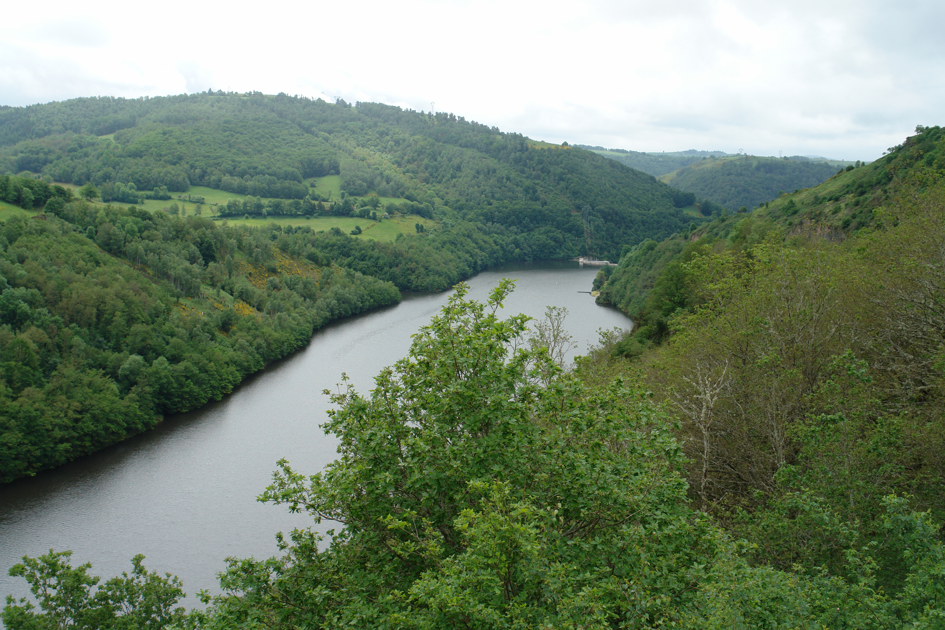
Crépuscule Lac du Pécher
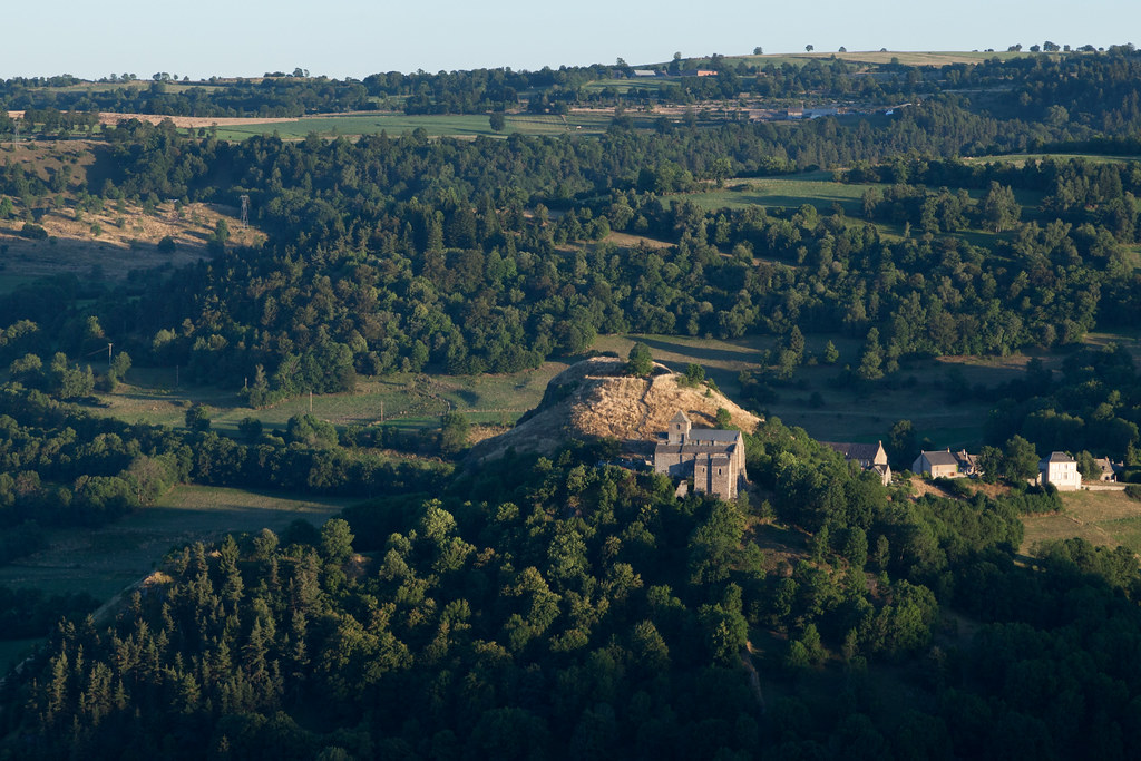
Eglise de Bredons | Murat and around-56
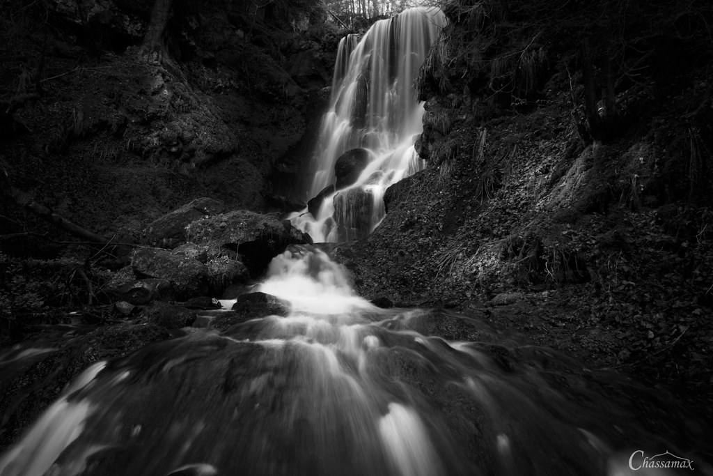
Cascade de Chambeuil - Auvergne - France
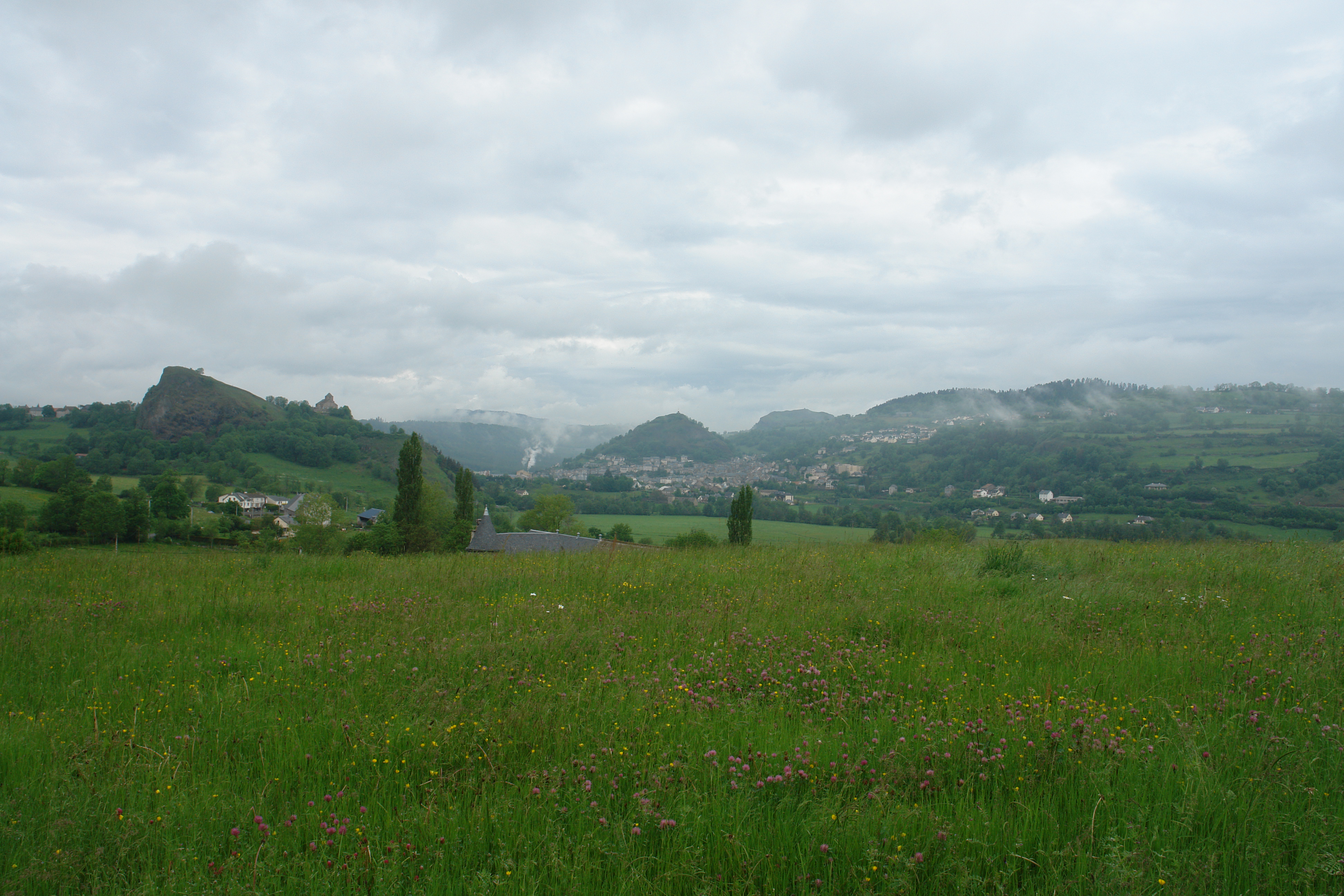
St Flour
DSC08200.JPG

DSC08200.JPG
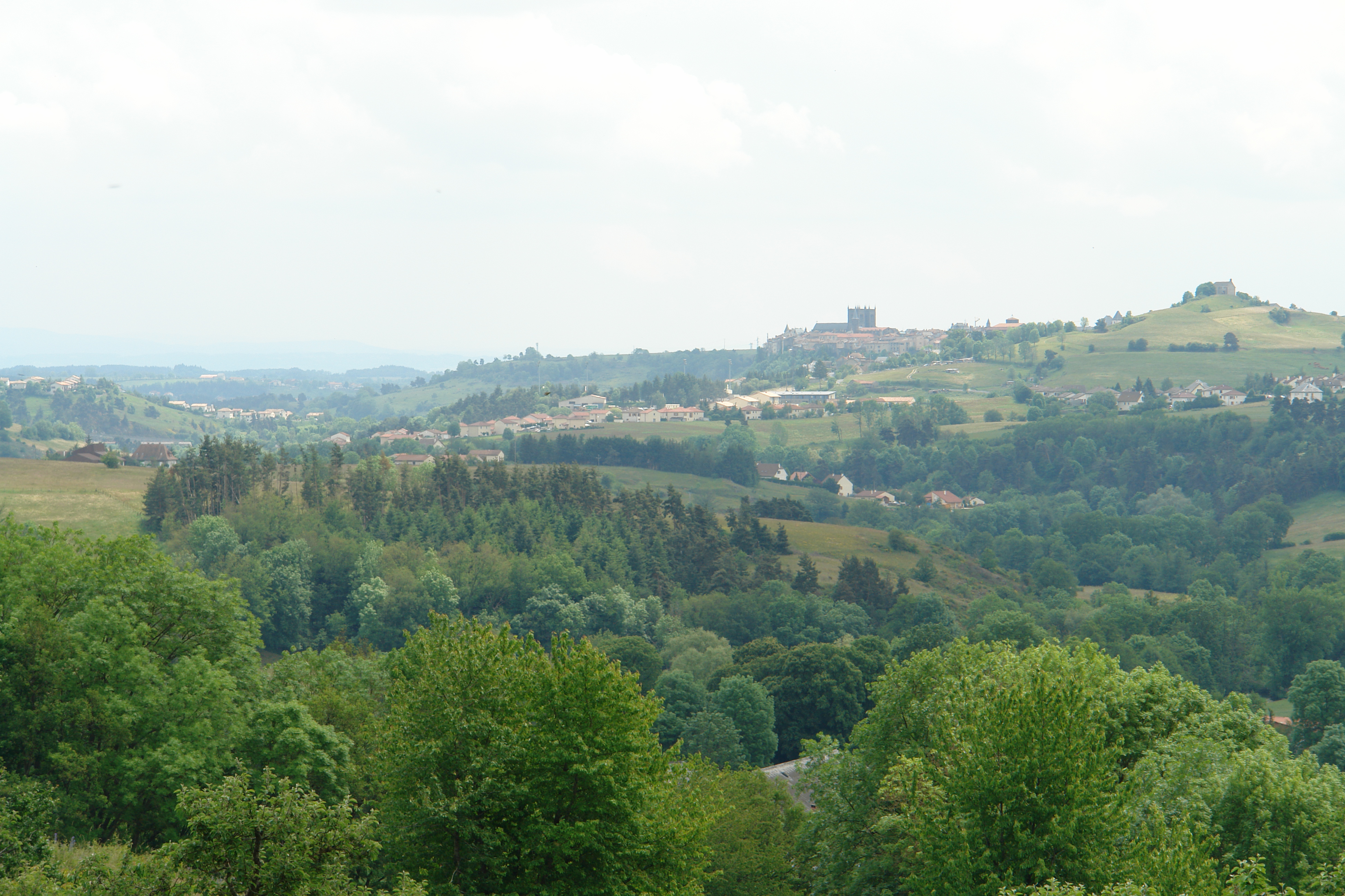
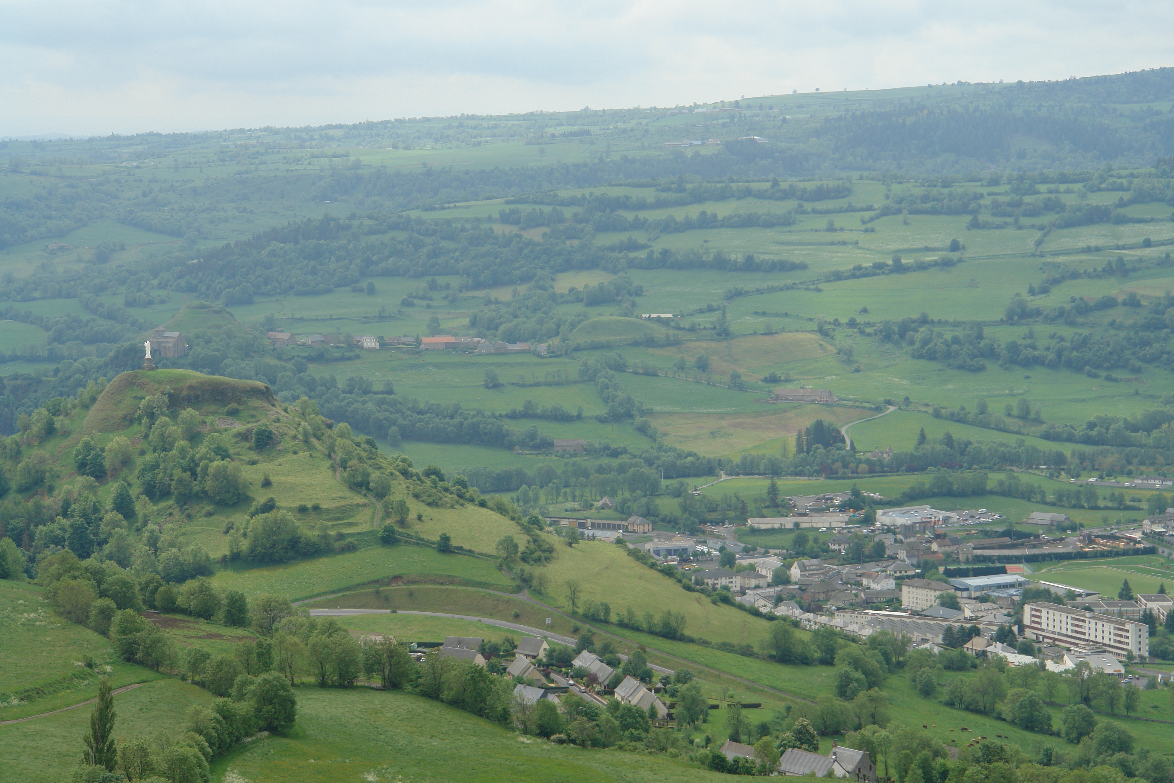
St Flour from Andelat
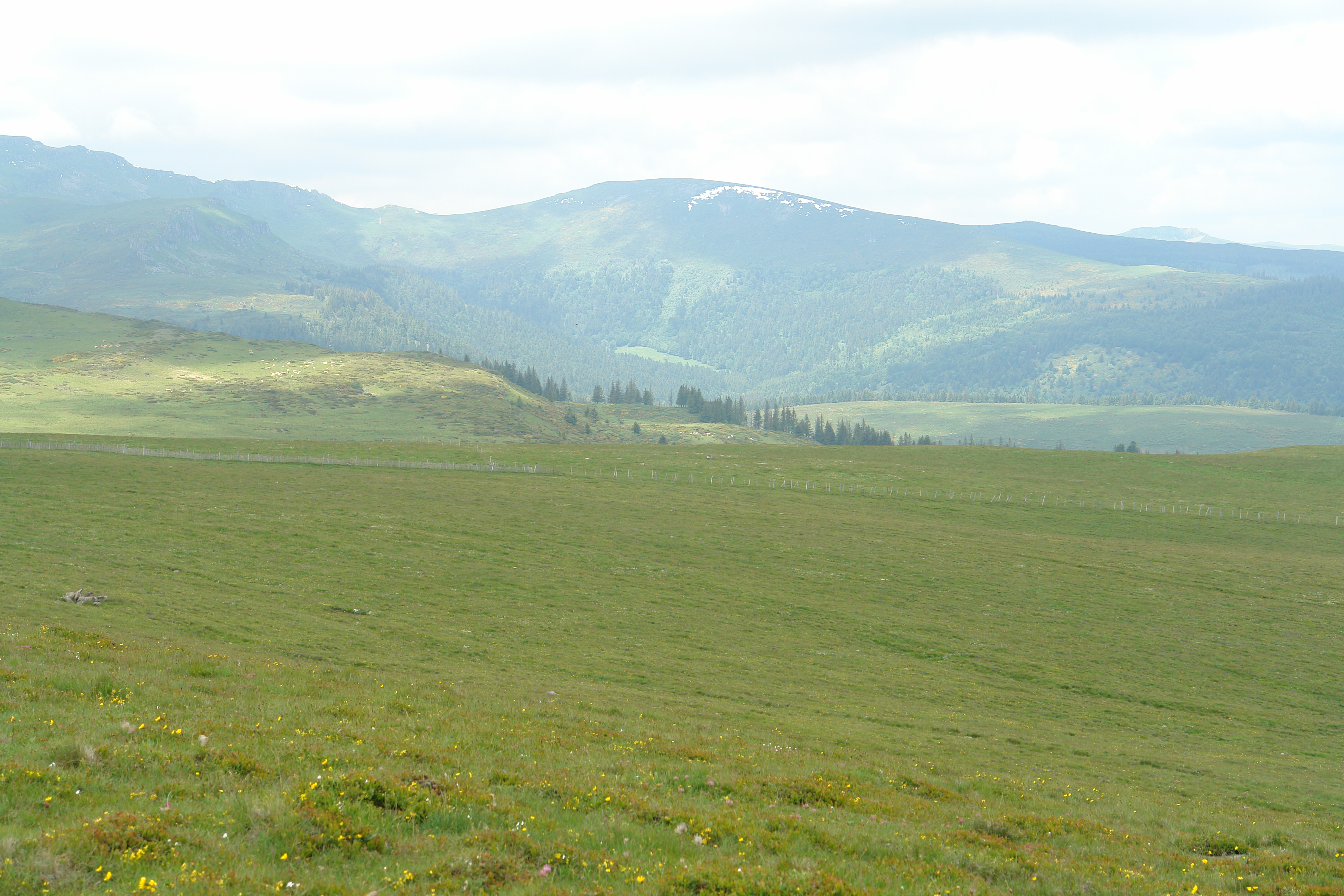
View from the Planeze
DSC08362.JPG

DSC08198.JPG

DSC08361.JPG
St Flour
View from above the Col de Prat de Bouc
DSC08208.JPG
DSC08198.JPG
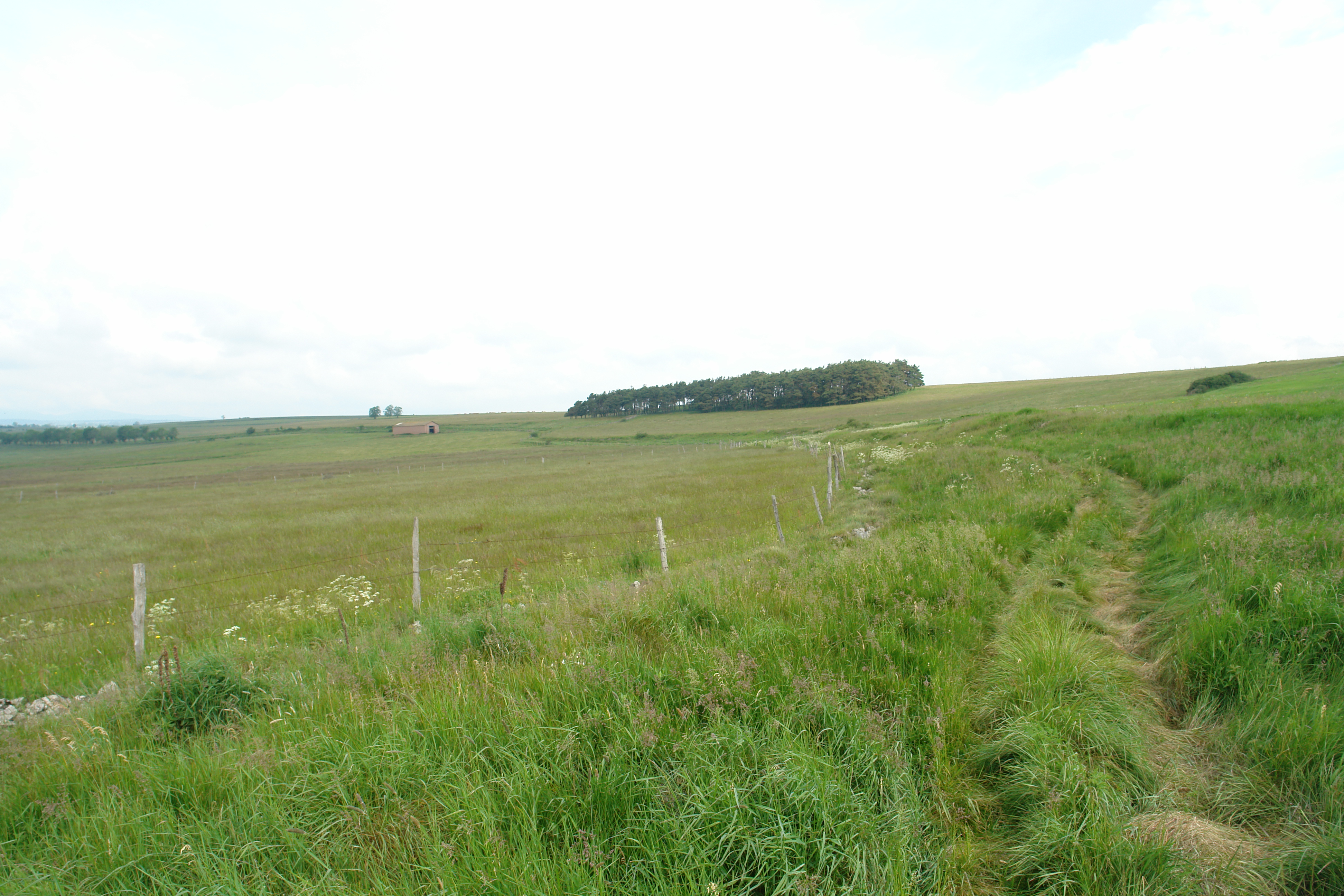
Walking across the never-ending Planeze
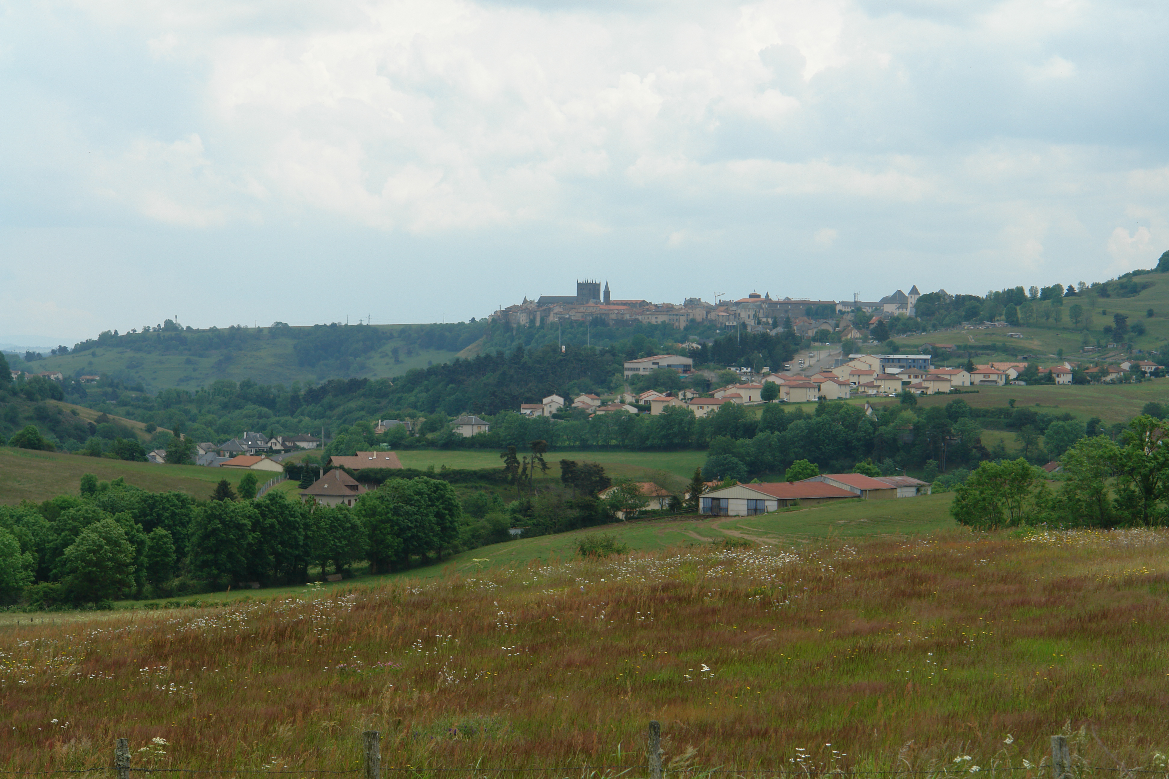
St Flour

St.-Flour
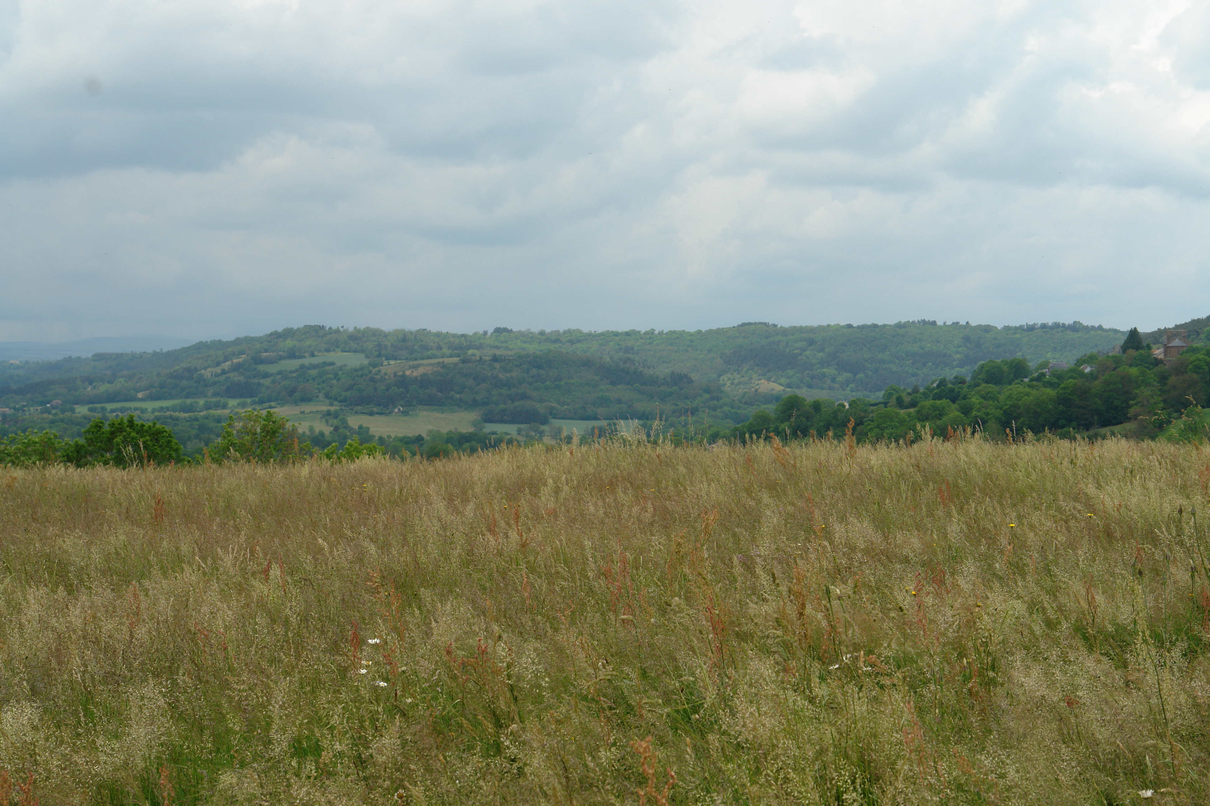
The countryside near St Flour
DSC08215.JPG

DSC08201.JPG
DSC08202.JPG

DSC08202.JPG
Mapa de Paulhac, Francia
Buscar otro lugar
Lugares cercanos
Le Bourg, Paulhac, Francia
15 Le Meynial, Laveissière, Francia
Montchamp, Francia
Le Bourg, Saint-Poncy, Francia
Saint-Poncy, Francia
Cézallier, Anzat-le-Luguet, Francia
Anzat-le-Luguet, Francia
Blassac, Francia
Pico de Sancy, Mont-Dore, Francia
Creste, Francia
Chambon-sur-Lac, Francia
Murol, Francia
Chateau De Murol, La Rivière, Murol, Francia
Prady, Creste, Francia
Saint-Nectaire, Francia
Sailles, Saint-Nectaire, Francia
Couteuges, Francia
Chanteuges, Francia
1 Calade du Valla, Chanteuges, Francia
7 Rue de la Sardissere, Neschers, Francia
Búsquedas recientes
- Horas de salida y puesta de sol de Hadiya, Ethiopia
- Horas de salida y puesta de sol de Hosaina, Etiopía
- Horas de salida y puesta de sol de Necochea, Provincia de Buenos Aires, Argentina
- Horas de salida y puesta de sol de Maxine St NE, Albuquerque, NM, USA
- Horas de salida y puesta de sol de Manhattan Special Economic Zone, Camboya, Krong Bavet, City
- Horas de salida y puesta de sol de 大洗神社東, Isohamacho, Ōarai, Distrito de Higashiibaraki, Prefectura de Ibaraki -, Japón
- Horas de salida y puesta de sol de Polzela, Eslovenia
- Horas de salida y puesta de sol de Río Duero
- Horas de salida y puesta de sol de Blue Point Beach, Pecatu, South Kuta, Badung Regency, Bali, Indonesia
- Horas de salida y puesta de sol de Village Point Dr, Daphne, AL, EE. UU.