Horas de salida y puesta de sol de Condado de Palo Pinto, Texas, EE. UU.
Location: Estados Unidos > Texas >
Zona horaria:
America/Chicago
Hora local:
2024-04-26 10:21:17
Longitud:
-98.3104184
Latitud:
32.7511956
Salida de sol de hoy:
06:50:01 AM
Puesta de sol de hoy:
08:11:46 PM
La duración del día hoy:
13h 21m 45s
Salida de sol de mañana:
06:48:59 AM
Puesta de sol de mañana:
08:12:30 PM
La duración del día mañana:
13h 23m 31s
Mostrar todas las fechas
| Fecha | Salida de sol | Puesta de sol | Duración del día |
|---|---|---|---|
| 01/01/2024 | 07:35:38 AM | 05:38:28 PM | 10h 2m 50s |
| 02/01/2024 | 07:35:49 AM | 05:39:13 PM | 10h 3m 24s |
| 03/01/2024 | 07:35:58 AM | 05:39:59 PM | 10h 4m 1s |
| 04/01/2024 | 07:36:05 AM | 05:40:46 PM | 10h 4m 41s |
| 05/01/2024 | 07:36:10 AM | 05:41:34 PM | 10h 5m 24s |
| 06/01/2024 | 07:36:14 AM | 05:42:22 PM | 10h 6m 8s |
| 07/01/2024 | 07:36:16 AM | 05:43:12 PM | 10h 6m 56s |
| 08/01/2024 | 07:36:16 AM | 05:44:02 PM | 10h 7m 46s |
| 09/01/2024 | 07:36:14 AM | 05:44:53 PM | 10h 8m 39s |
| 10/01/2024 | 07:36:11 AM | 05:45:45 PM | 10h 9m 34s |
| 11/01/2024 | 07:36:05 AM | 05:46:38 PM | 10h 10m 33s |
| 12/01/2024 | 07:35:58 AM | 05:47:31 PM | 10h 11m 33s |
| 13/01/2024 | 07:35:49 AM | 05:48:24 PM | 10h 12m 35s |
| 14/01/2024 | 07:35:38 AM | 05:49:18 PM | 10h 13m 40s |
| 15/01/2024 | 07:35:26 AM | 05:50:13 PM | 10h 14m 47s |
| 16/01/2024 | 07:35:12 AM | 05:51:08 PM | 10h 15m 56s |
| 17/01/2024 | 07:34:56 AM | 05:52:03 PM | 10h 17m 7s |
| 18/01/2024 | 07:34:38 AM | 05:52:59 PM | 10h 18m 21s |
| 19/01/2024 | 07:34:18 AM | 05:53:54 PM | 10h 19m 36s |
| 20/01/2024 | 07:33:57 AM | 05:54:51 PM | 10h 20m 54s |
| 21/01/2024 | 07:33:34 AM | 05:55:47 PM | 10h 22m 13s |
| 22/01/2024 | 07:33:09 AM | 05:56:44 PM | 10h 23m 35s |
| 23/01/2024 | 07:32:43 AM | 05:57:40 PM | 10h 24m 57s |
| 24/01/2024 | 07:32:14 AM | 05:58:37 PM | 10h 26m 23s |
| 25/01/2024 | 07:31:45 AM | 05:59:34 PM | 10h 27m 49s |
| 26/01/2024 | 07:31:13 AM | 06:00:31 PM | 10h 29m 18s |
| 27/01/2024 | 07:30:40 AM | 06:01:28 PM | 10h 30m 48s |
| 28/01/2024 | 07:30:05 AM | 06:02:25 PM | 10h 32m 20s |
| 29/01/2024 | 07:29:29 AM | 06:03:21 PM | 10h 33m 52s |
| 30/01/2024 | 07:28:51 AM | 06:04:18 PM | 10h 35m 27s |
| 31/01/2024 | 07:28:12 AM | 06:05:15 PM | 10h 37m 3s |
| 01/02/2024 | 07:27:31 AM | 06:06:11 PM | 10h 38m 40s |
| 02/02/2024 | 07:26:49 AM | 06:07:08 PM | 10h 40m 19s |
| 03/02/2024 | 07:26:05 AM | 06:08:04 PM | 10h 41m 59s |
| 04/02/2024 | 07:25:20 AM | 06:09:00 PM | 10h 43m 40s |
| 05/02/2024 | 07:24:34 AM | 06:09:56 PM | 10h 45m 22s |
| 06/02/2024 | 07:23:46 AM | 06:10:51 PM | 10h 47m 5s |
| 07/02/2024 | 07:22:56 AM | 06:11:47 PM | 10h 48m 51s |
| 08/02/2024 | 07:22:06 AM | 06:12:42 PM | 10h 50m 36s |
| 09/02/2024 | 07:21:14 AM | 06:13:36 PM | 10h 52m 22s |
| 10/02/2024 | 07:20:21 AM | 06:14:31 PM | 10h 54m 10s |
| 11/02/2024 | 07:19:27 AM | 06:15:25 PM | 10h 55m 58s |
| 12/02/2024 | 07:18:31 AM | 06:16:19 PM | 10h 57m 48s |
| 13/02/2024 | 07:17:34 AM | 06:17:12 PM | 10h 59m 38s |
| 14/02/2024 | 07:16:36 AM | 06:18:06 PM | 11h 1m 30s |
| 15/02/2024 | 07:15:37 AM | 06:18:58 PM | 11h 3m 21s |
| 16/02/2024 | 07:14:37 AM | 06:19:51 PM | 11h 5m 14s |
| 17/02/2024 | 07:13:36 AM | 06:20:43 PM | 11h 7m 7s |
| 18/02/2024 | 07:12:34 AM | 06:21:35 PM | 11h 9m 1s |
| 19/02/2024 | 07:11:31 AM | 06:22:26 PM | 11h 10m 55s |
| 20/02/2024 | 07:10:27 AM | 06:23:18 PM | 11h 12m 51s |
| 21/02/2024 | 07:09:22 AM | 06:24:08 PM | 11h 14m 46s |
| 22/02/2024 | 07:08:16 AM | 06:24:59 PM | 11h 16m 43s |
| 23/02/2024 | 07:07:09 AM | 06:25:49 PM | 11h 18m 40s |
| 24/02/2024 | 07:06:01 AM | 06:26:38 PM | 11h 20m 37s |
| 25/02/2024 | 07:04:53 AM | 06:27:28 PM | 11h 22m 35s |
| 26/02/2024 | 07:03:44 AM | 06:28:17 PM | 11h 24m 33s |
| 27/02/2024 | 07:02:34 AM | 06:29:05 PM | 11h 26m 31s |
| 28/02/2024 | 07:01:23 AM | 06:29:53 PM | 11h 28m 30s |
| 29/02/2024 | 07:00:12 AM | 06:30:41 PM | 11h 30m 29s |
| 01/03/2024 | 06:59:00 AM | 06:31:29 PM | 11h 32m 29s |
| 02/03/2024 | 06:57:47 AM | 06:32:16 PM | 11h 34m 29s |
| 03/03/2024 | 06:56:34 AM | 06:33:03 PM | 11h 36m 29s |
| 04/03/2024 | 06:55:20 AM | 06:33:50 PM | 11h 38m 30s |
| 05/03/2024 | 06:54:06 AM | 06:34:36 PM | 11h 40m 30s |
| 06/03/2024 | 06:52:51 AM | 06:35:22 PM | 11h 42m 31s |
| 07/03/2024 | 06:51:35 AM | 06:36:08 PM | 11h 44m 33s |
| 08/03/2024 | 06:50:20 AM | 06:36:54 PM | 11h 46m 34s |
| 09/03/2024 | 06:49:03 AM | 06:37:39 PM | 11h 48m 36s |
| 10/03/2024 | 07:47:50 AM | 07:38:22 PM | 11h 50m 32s |
| 11/03/2024 | 07:46:33 AM | 07:39:07 PM | 11h 52m 34s |
| 12/03/2024 | 07:45:16 AM | 07:39:51 PM | 11h 54m 35s |
| 13/03/2024 | 07:43:58 AM | 07:40:36 PM | 11h 56m 38s |
| 14/03/2024 | 07:42:40 AM | 07:41:20 PM | 11h 58m 40s |
| 15/03/2024 | 07:41:22 AM | 07:42:04 PM | 12h 0m 42s |
| 16/03/2024 | 07:40:04 AM | 07:42:48 PM | 12h 2m 44s |
| 17/03/2024 | 07:38:46 AM | 07:43:31 PM | 12h 4m 45s |
| 18/03/2024 | 07:37:27 AM | 07:44:15 PM | 12h 6m 48s |
| 19/03/2024 | 07:36:08 AM | 07:44:58 PM | 12h 8m 50s |
| 20/03/2024 | 07:34:50 AM | 07:45:41 PM | 12h 10m 51s |
| 21/03/2024 | 07:33:31 AM | 07:46:24 PM | 12h 12m 53s |
| 22/03/2024 | 07:32:12 AM | 07:47:07 PM | 12h 14m 55s |
| 23/03/2024 | 07:30:53 AM | 07:47:50 PM | 12h 16m 57s |
| 24/03/2024 | 07:29:34 AM | 07:48:33 PM | 12h 18m 59s |
| 25/03/2024 | 07:28:15 AM | 07:49:15 PM | 12h 21m 0s |
| 26/03/2024 | 07:26:56 AM | 07:49:58 PM | 12h 23m 2s |
| 27/03/2024 | 07:25:38 AM | 07:50:40 PM | 12h 25m 2s |
| 28/03/2024 | 07:24:19 AM | 07:51:23 PM | 12h 27m 4s |
| 29/03/2024 | 07:23:01 AM | 07:52:05 PM | 12h 29m 4s |
| 30/03/2024 | 07:21:42 AM | 07:52:48 PM | 12h 31m 6s |
| 31/03/2024 | 07:20:24 AM | 07:53:30 PM | 12h 33m 6s |
| 01/04/2024 | 07:19:07 AM | 07:54:12 PM | 12h 35m 5s |
| 02/04/2024 | 07:17:49 AM | 07:54:55 PM | 12h 37m 6s |
| 03/04/2024 | 07:16:32 AM | 07:55:37 PM | 12h 39m 5s |
| 04/04/2024 | 07:15:15 AM | 07:56:20 PM | 12h 41m 5s |
| 05/04/2024 | 07:13:59 AM | 07:57:02 PM | 12h 43m 3s |
| 06/04/2024 | 07:12:43 AM | 07:57:45 PM | 12h 45m 2s |
| 07/04/2024 | 07:11:27 AM | 07:58:27 PM | 12h 47m 0s |
| 08/04/2024 | 07:10:12 AM | 07:59:10 PM | 12h 48m 58s |
| 09/04/2024 | 07:08:57 AM | 07:59:52 PM | 12h 50m 55s |
| 10/04/2024 | 07:07:43 AM | 08:00:35 PM | 12h 52m 52s |
| 11/04/2024 | 07:06:30 AM | 08:01:18 PM | 12h 54m 48s |
| 12/04/2024 | 07:05:16 AM | 08:02:01 PM | 12h 56m 45s |
| 13/04/2024 | 07:04:04 AM | 08:02:44 PM | 12h 58m 40s |
| 14/04/2024 | 07:02:52 AM | 08:03:27 PM | 13h 0m 35s |
| 15/04/2024 | 07:01:41 AM | 08:04:10 PM | 13h 2m 29s |
| 16/04/2024 | 07:00:30 AM | 08:04:53 PM | 13h 4m 23s |
| 17/04/2024 | 06:59:20 AM | 08:05:36 PM | 13h 6m 16s |
| 18/04/2024 | 06:58:11 AM | 08:06:20 PM | 13h 8m 9s |
| 19/04/2024 | 06:57:03 AM | 08:07:03 PM | 13h 10m 0s |
| 20/04/2024 | 06:55:55 AM | 08:07:47 PM | 13h 11m 52s |
| 21/04/2024 | 06:54:48 AM | 08:08:30 PM | 13h 13m 42s |
| 22/04/2024 | 06:53:42 AM | 08:09:14 PM | 13h 15m 32s |
| 23/04/2024 | 06:52:37 AM | 08:09:58 PM | 13h 17m 21s |
| 24/04/2024 | 06:51:33 AM | 08:10:42 PM | 13h 19m 9s |
| 25/04/2024 | 06:50:30 AM | 08:11:26 PM | 13h 20m 56s |
| 26/04/2024 | 06:49:27 AM | 08:12:10 PM | 13h 22m 43s |
| 27/04/2024 | 06:48:26 AM | 08:12:54 PM | 13h 24m 28s |
| 28/04/2024 | 06:47:25 AM | 08:13:38 PM | 13h 26m 13s |
| 29/04/2024 | 06:46:26 AM | 08:14:22 PM | 13h 27m 56s |
| 30/04/2024 | 06:45:28 AM | 08:15:06 PM | 13h 29m 38s |
| 01/05/2024 | 06:44:30 AM | 08:15:50 PM | 13h 31m 20s |
| 02/05/2024 | 06:43:34 AM | 08:16:34 PM | 13h 33m 0s |
| 03/05/2024 | 06:42:39 AM | 08:17:19 PM | 13h 34m 40s |
| 04/05/2024 | 06:41:45 AM | 08:18:03 PM | 13h 36m 18s |
| 05/05/2024 | 06:40:53 AM | 08:18:47 PM | 13h 37m 54s |
| 06/05/2024 | 06:40:01 AM | 08:19:31 PM | 13h 39m 30s |
| 07/05/2024 | 06:39:11 AM | 08:20:15 PM | 13h 41m 4s |
| 08/05/2024 | 06:38:22 AM | 08:20:59 PM | 13h 42m 37s |
| 09/05/2024 | 06:37:34 AM | 08:21:42 PM | 13h 44m 8s |
| 10/05/2024 | 06:36:47 AM | 08:22:26 PM | 13h 45m 39s |
| 11/05/2024 | 06:36:02 AM | 08:23:09 PM | 13h 47m 7s |
| 12/05/2024 | 06:35:18 AM | 08:23:53 PM | 13h 48m 35s |
| 13/05/2024 | 06:34:35 AM | 08:24:36 PM | 13h 50m 1s |
| 14/05/2024 | 06:33:54 AM | 08:25:18 PM | 13h 51m 24s |
| 15/05/2024 | 06:33:14 AM | 08:26:01 PM | 13h 52m 47s |
| 16/05/2024 | 06:32:36 AM | 08:26:43 PM | 13h 54m 7s |
| 17/05/2024 | 06:31:59 AM | 08:27:25 PM | 13h 55m 26s |
| 18/05/2024 | 06:31:23 AM | 08:28:07 PM | 13h 56m 44s |
| 19/05/2024 | 06:30:49 AM | 08:28:48 PM | 13h 57m 59s |
| 20/05/2024 | 06:30:16 AM | 08:29:29 PM | 13h 59m 13s |
| 21/05/2024 | 06:29:45 AM | 08:30:10 PM | 14h 0m 25s |
| 22/05/2024 | 06:29:15 AM | 08:30:50 PM | 14h 1m 35s |
| 23/05/2024 | 06:28:47 AM | 08:31:29 PM | 14h 2m 42s |
| 24/05/2024 | 06:28:20 AM | 08:32:09 PM | 14h 3m 49s |
| 25/05/2024 | 06:27:55 AM | 08:32:47 PM | 14h 4m 52s |
| 26/05/2024 | 06:27:31 AM | 08:33:25 PM | 14h 5m 54s |
| 27/05/2024 | 06:27:09 AM | 08:34:02 PM | 14h 6m 53s |
| 28/05/2024 | 06:26:48 AM | 08:34:39 PM | 14h 7m 51s |
| 29/05/2024 | 06:26:29 AM | 08:35:15 PM | 14h 8m 46s |
| 30/05/2024 | 06:26:11 AM | 08:35:51 PM | 14h 9m 40s |
| 31/05/2024 | 06:25:55 AM | 08:36:25 PM | 14h 10m 30s |
| 01/06/2024 | 06:25:41 AM | 08:36:59 PM | 14h 11m 18s |
| 02/06/2024 | 06:25:28 AM | 08:37:32 PM | 14h 12m 4s |
| 03/06/2024 | 06:25:16 AM | 08:38:04 PM | 14h 12m 48s |
| 04/06/2024 | 06:25:06 AM | 08:38:35 PM | 14h 13m 29s |
| 05/06/2024 | 06:24:58 AM | 08:39:06 PM | 14h 14m 8s |
| 06/06/2024 | 06:24:51 AM | 08:39:35 PM | 14h 14m 44s |
| 07/06/2024 | 06:24:46 AM | 08:40:04 PM | 14h 15m 18s |
| 08/06/2024 | 06:24:42 AM | 08:40:31 PM | 14h 15m 49s |
| 09/06/2024 | 06:24:39 AM | 08:40:57 PM | 14h 16m 18s |
| 10/06/2024 | 06:24:39 AM | 08:41:23 PM | 14h 16m 44s |
| 11/06/2024 | 06:24:39 AM | 08:41:47 PM | 14h 17m 8s |
| 12/06/2024 | 06:24:41 AM | 08:42:10 PM | 14h 17m 29s |
| 13/06/2024 | 06:24:45 AM | 08:42:32 PM | 14h 17m 47s |
| 14/06/2024 | 06:24:50 AM | 08:42:53 PM | 14h 18m 3s |
| 15/06/2024 | 06:24:56 AM | 08:43:12 PM | 14h 18m 16s |
| 16/06/2024 | 06:25:04 AM | 08:43:30 PM | 14h 18m 26s |
| 17/06/2024 | 06:25:14 AM | 08:43:47 PM | 14h 18m 33s |
| 18/06/2024 | 06:25:24 AM | 08:44:03 PM | 14h 18m 39s |
| 19/06/2024 | 06:25:36 AM | 08:44:17 PM | 14h 18m 41s |
| 20/06/2024 | 06:25:49 AM | 08:44:30 PM | 14h 18m 41s |
| 21/06/2024 | 06:26:04 AM | 08:44:41 PM | 14h 18m 37s |
| 22/06/2024 | 06:26:20 AM | 08:44:51 PM | 14h 18m 31s |
| 23/06/2024 | 06:26:37 AM | 08:45:00 PM | 14h 18m 23s |
| 24/06/2024 | 06:26:55 AM | 08:45:07 PM | 14h 18m 12s |
| 25/06/2024 | 06:27:14 AM | 08:45:13 PM | 14h 17m 59s |
| 26/06/2024 | 06:27:35 AM | 08:45:17 PM | 14h 17m 42s |
| 27/06/2024 | 06:27:56 AM | 08:45:20 PM | 14h 17m 24s |
| 28/06/2024 | 06:28:19 AM | 08:45:21 PM | 14h 17m 2s |
| 29/06/2024 | 06:28:43 AM | 08:45:21 PM | 14h 16m 38s |
| 30/06/2024 | 06:29:08 AM | 08:45:19 PM | 14h 16m 11s |
| 01/07/2024 | 06:29:34 AM | 08:45:16 PM | 14h 15m 42s |
| 02/07/2024 | 06:30:01 AM | 08:45:11 PM | 14h 15m 10s |
| 03/07/2024 | 06:30:28 AM | 08:45:05 PM | 14h 14m 37s |
| 04/07/2024 | 06:30:57 AM | 08:44:57 PM | 14h 14m 0s |
| 05/07/2024 | 06:31:27 AM | 08:44:47 PM | 14h 13m 20s |
| 06/07/2024 | 06:31:57 AM | 08:44:36 PM | 14h 12m 39s |
| 07/07/2024 | 06:32:28 AM | 08:44:23 PM | 14h 11m 55s |
| 08/07/2024 | 06:33:00 AM | 08:44:09 PM | 14h 11m 9s |
| 09/07/2024 | 06:33:33 AM | 08:43:53 PM | 14h 10m 20s |
| 10/07/2024 | 06:34:06 AM | 08:43:35 PM | 14h 9m 29s |
| 11/07/2024 | 06:34:40 AM | 08:43:16 PM | 14h 8m 36s |
| 12/07/2024 | 06:35:15 AM | 08:42:56 PM | 14h 7m 41s |
| 13/07/2024 | 06:35:50 AM | 08:42:33 PM | 14h 6m 43s |
| 14/07/2024 | 06:36:26 AM | 08:42:09 PM | 14h 5m 43s |
| 15/07/2024 | 06:37:02 AM | 08:41:44 PM | 14h 4m 42s |
| 16/07/2024 | 06:37:39 AM | 08:41:17 PM | 14h 3m 38s |
| 17/07/2024 | 06:38:16 AM | 08:40:49 PM | 14h 2m 33s |
| 18/07/2024 | 06:38:54 AM | 08:40:19 PM | 14h 1m 25s |
| 19/07/2024 | 06:39:32 AM | 08:39:47 PM | 14h 0m 15s |
| 20/07/2024 | 06:40:11 AM | 08:39:14 PM | 13h 59m 3s |
| 21/07/2024 | 06:40:49 AM | 08:38:40 PM | 13h 57m 51s |
| 22/07/2024 | 06:41:29 AM | 08:38:04 PM | 13h 56m 35s |
| 23/07/2024 | 06:42:08 AM | 08:37:26 PM | 13h 55m 18s |
| 24/07/2024 | 06:42:48 AM | 08:36:48 PM | 13h 54m 0s |
| 25/07/2024 | 06:43:28 AM | 08:36:07 PM | 13h 52m 39s |
| 26/07/2024 | 06:44:08 AM | 08:35:26 PM | 13h 51m 18s |
| 27/07/2024 | 06:44:48 AM | 08:34:42 PM | 13h 49m 54s |
| 28/07/2024 | 06:45:29 AM | 08:33:58 PM | 13h 48m 29s |
| 29/07/2024 | 06:46:09 AM | 08:33:12 PM | 13h 47m 3s |
| 30/07/2024 | 06:46:50 AM | 08:32:25 PM | 13h 45m 35s |
| 31/07/2024 | 06:47:31 AM | 08:31:36 PM | 13h 44m 5s |
| 01/08/2024 | 06:48:12 AM | 08:30:47 PM | 13h 42m 35s |
| 02/08/2024 | 06:48:53 AM | 08:29:56 PM | 13h 41m 3s |
| 03/08/2024 | 06:49:34 AM | 08:29:03 PM | 13h 39m 29s |
| 04/08/2024 | 06:50:15 AM | 08:28:10 PM | 13h 37m 55s |
| 05/08/2024 | 06:50:56 AM | 08:27:15 PM | 13h 36m 19s |
| 06/08/2024 | 06:51:37 AM | 08:26:19 PM | 13h 34m 42s |
| 07/08/2024 | 06:52:18 AM | 08:25:22 PM | 13h 33m 4s |
| 08/08/2024 | 06:52:59 AM | 08:24:24 PM | 13h 31m 25s |
| 09/08/2024 | 06:53:40 AM | 08:23:25 PM | 13h 29m 45s |
| 10/08/2024 | 06:54:21 AM | 08:22:24 PM | 13h 28m 3s |
| 11/08/2024 | 06:55:02 AM | 08:21:23 PM | 13h 26m 21s |
| 12/08/2024 | 06:55:42 AM | 08:20:21 PM | 13h 24m 39s |
| 13/08/2024 | 06:56:23 AM | 08:19:17 PM | 13h 22m 54s |
| 14/08/2024 | 06:57:04 AM | 08:18:13 PM | 13h 21m 9s |
| 15/08/2024 | 06:57:44 AM | 08:17:07 PM | 13h 19m 23s |
| 16/08/2024 | 06:58:24 AM | 08:16:01 PM | 13h 17m 37s |
| 17/08/2024 | 06:59:05 AM | 08:14:54 PM | 13h 15m 49s |
| 18/08/2024 | 06:59:45 AM | 08:13:46 PM | 13h 14m 1s |
| 19/08/2024 | 07:00:25 AM | 08:12:37 PM | 13h 12m 12s |
| 20/08/2024 | 07:01:05 AM | 08:11:27 PM | 13h 10m 22s |
| 21/08/2024 | 07:01:44 AM | 08:10:17 PM | 13h 8m 33s |
| 22/08/2024 | 07:02:24 AM | 08:09:06 PM | 13h 6m 42s |
| 23/08/2024 | 07:03:04 AM | 08:07:54 PM | 13h 4m 50s |
| 24/08/2024 | 07:03:43 AM | 08:06:41 PM | 13h 2m 58s |
| 25/08/2024 | 07:04:22 AM | 08:05:28 PM | 13h 1m 6s |
| 26/08/2024 | 07:05:01 AM | 08:04:14 PM | 12h 59m 13s |
| 27/08/2024 | 07:05:40 AM | 08:02:59 PM | 12h 57m 19s |
| 28/08/2024 | 07:06:19 AM | 08:01:44 PM | 12h 55m 25s |
| 29/08/2024 | 07:06:58 AM | 08:00:28 PM | 12h 53m 30s |
| 30/08/2024 | 07:07:37 AM | 07:59:12 PM | 12h 51m 35s |
| 31/08/2024 | 07:08:16 AM | 07:57:55 PM | 12h 49m 39s |
| 01/09/2024 | 07:08:54 AM | 07:56:37 PM | 12h 47m 43s |
| 02/09/2024 | 07:09:33 AM | 07:55:20 PM | 12h 45m 47s |
| 03/09/2024 | 07:10:11 AM | 07:54:01 PM | 12h 43m 50s |
| 04/09/2024 | 07:10:50 AM | 07:52:43 PM | 12h 41m 53s |
| 05/09/2024 | 07:11:28 AM | 07:51:24 PM | 12h 39m 56s |
| 06/09/2024 | 07:12:06 AM | 07:50:04 PM | 12h 37m 58s |
| 07/09/2024 | 07:12:44 AM | 07:48:45 PM | 12h 36m 1s |
| 08/09/2024 | 07:13:23 AM | 07:47:25 PM | 12h 34m 2s |
| 09/09/2024 | 07:14:01 AM | 07:46:05 PM | 12h 32m 4s |
| 10/09/2024 | 07:14:39 AM | 07:44:44 PM | 12h 30m 5s |
| 11/09/2024 | 07:15:17 AM | 07:43:23 PM | 12h 28m 6s |
| 12/09/2024 | 07:15:55 AM | 07:42:03 PM | 12h 26m 8s |
| 13/09/2024 | 07:16:34 AM | 07:40:41 PM | 12h 24m 7s |
| 14/09/2024 | 07:17:12 AM | 07:39:20 PM | 12h 22m 8s |
| 15/09/2024 | 07:17:50 AM | 07:37:59 PM | 12h 20m 9s |
| 16/09/2024 | 07:18:29 AM | 07:36:38 PM | 12h 18m 9s |
| 17/09/2024 | 07:19:07 AM | 07:35:17 PM | 12h 16m 10s |
| 18/09/2024 | 07:19:46 AM | 07:33:55 PM | 12h 14m 9s |
| 19/09/2024 | 07:20:24 AM | 07:32:34 PM | 12h 12m 10s |
| 20/09/2024 | 07:21:03 AM | 07:31:13 PM | 12h 10m 10s |
| 21/09/2024 | 07:21:42 AM | 07:29:51 PM | 12h 8m 9s |
| 22/09/2024 | 07:22:21 AM | 07:28:30 PM | 12h 6m 9s |
| 23/09/2024 | 07:23:00 AM | 07:27:09 PM | 12h 4m 9s |
| 24/09/2024 | 07:23:40 AM | 07:25:48 PM | 12h 2m 8s |
| 25/09/2024 | 07:24:19 AM | 07:24:28 PM | 12h 0m 9s |
| 26/09/2024 | 07:24:59 AM | 07:23:07 PM | 11h 58m 8s |
| 27/09/2024 | 07:25:39 AM | 07:21:47 PM | 11h 56m 8s |
| 28/09/2024 | 07:26:19 AM | 07:20:27 PM | 11h 54m 8s |
| 29/09/2024 | 07:26:59 AM | 07:19:08 PM | 11h 52m 9s |
| 30/09/2024 | 07:27:40 AM | 07:17:48 PM | 11h 50m 8s |
| 01/10/2024 | 07:28:21 AM | 07:16:29 PM | 11h 48m 8s |
| 02/10/2024 | 07:29:02 AM | 07:15:11 PM | 11h 46m 9s |
| 03/10/2024 | 07:29:43 AM | 07:13:53 PM | 11h 44m 10s |
| 04/10/2024 | 07:30:25 AM | 07:12:35 PM | 11h 42m 10s |
| 05/10/2024 | 07:31:07 AM | 07:11:18 PM | 11h 40m 11s |
| 06/10/2024 | 07:31:49 AM | 07:10:01 PM | 11h 38m 12s |
| 07/10/2024 | 07:32:31 AM | 07:08:45 PM | 11h 36m 14s |
| 08/10/2024 | 07:33:14 AM | 07:07:30 PM | 11h 34m 16s |
| 09/10/2024 | 07:33:57 AM | 07:06:15 PM | 11h 32m 18s |
| 10/10/2024 | 07:34:41 AM | 07:05:00 PM | 11h 30m 19s |
| 11/10/2024 | 07:35:25 AM | 07:03:47 PM | 11h 28m 22s |
| 12/10/2024 | 07:36:09 AM | 07:02:34 PM | 11h 26m 25s |
| 13/10/2024 | 07:36:54 AM | 07:01:21 PM | 11h 24m 27s |
| 14/10/2024 | 07:37:39 AM | 07:00:10 PM | 11h 22m 31s |
| 15/10/2024 | 07:38:24 AM | 06:58:59 PM | 11h 20m 35s |
| 16/10/2024 | 07:39:10 AM | 06:57:49 PM | 11h 18m 39s |
| 17/10/2024 | 07:39:56 AM | 06:56:40 PM | 11h 16m 44s |
| 18/10/2024 | 07:40:42 AM | 06:55:31 PM | 11h 14m 49s |
| 19/10/2024 | 07:41:29 AM | 06:54:24 PM | 11h 12m 55s |
| 20/10/2024 | 07:42:16 AM | 06:53:18 PM | 11h 11m 2s |
| 21/10/2024 | 07:43:04 AM | 06:52:12 PM | 11h 9m 8s |
| 22/10/2024 | 07:43:52 AM | 06:51:08 PM | 11h 7m 16s |
| 23/10/2024 | 07:44:40 AM | 06:50:04 PM | 11h 5m 24s |
| 24/10/2024 | 07:45:29 AM | 06:49:02 PM | 11h 3m 33s |
| 25/10/2024 | 07:46:18 AM | 06:48:00 PM | 11h 1m 42s |
| 26/10/2024 | 07:47:07 AM | 06:47:00 PM | 10h 59m 53s |
| 27/10/2024 | 07:47:57 AM | 06:46:01 PM | 10h 58m 4s |
| 28/10/2024 | 07:48:47 AM | 06:45:03 PM | 10h 56m 16s |
| 29/10/2024 | 07:49:38 AM | 06:44:06 PM | 10h 54m 28s |
| 30/10/2024 | 07:50:29 AM | 06:43:11 PM | 10h 52m 42s |
| 31/10/2024 | 07:51:20 AM | 06:42:16 PM | 10h 50m 56s |
| 01/11/2024 | 07:52:12 AM | 06:41:23 PM | 10h 49m 11s |
| 02/11/2024 | 07:53:04 AM | 06:40:32 PM | 10h 47m 28s |
| 03/11/2024 | 06:53:58 AM | 05:39:39 PM | 10h 45m 41s |
| 04/11/2024 | 06:54:51 AM | 05:38:50 PM | 10h 43m 59s |
| 05/11/2024 | 06:55:43 AM | 05:38:03 PM | 10h 42m 20s |
| 06/11/2024 | 06:56:36 AM | 05:37:17 PM | 10h 40m 41s |
| 07/11/2024 | 06:57:30 AM | 05:36:32 PM | 10h 39m 2s |
| 08/11/2024 | 06:58:23 AM | 05:35:49 PM | 10h 37m 26s |
| 09/11/2024 | 06:59:17 AM | 05:35:07 PM | 10h 35m 50s |
| 10/11/2024 | 07:00:11 AM | 05:34:27 PM | 10h 34m 16s |
| 11/11/2024 | 07:01:04 AM | 05:33:48 PM | 10h 32m 44s |
| 12/11/2024 | 07:01:59 AM | 05:33:11 PM | 10h 31m 12s |
| 13/11/2024 | 07:02:53 AM | 05:32:36 PM | 10h 29m 43s |
| 14/11/2024 | 07:03:47 AM | 05:32:02 PM | 10h 28m 15s |
| 15/11/2024 | 07:04:41 AM | 05:31:30 PM | 10h 26m 49s |
| 16/11/2024 | 07:05:36 AM | 05:31:00 PM | 10h 25m 24s |
| 17/11/2024 | 07:06:30 AM | 05:30:31 PM | 10h 24m 1s |
| 18/11/2024 | 07:07:24 AM | 05:30:04 PM | 10h 22m 40s |
| 19/11/2024 | 07:08:18 AM | 05:29:39 PM | 10h 21m 21s |
| 20/11/2024 | 07:09:12 AM | 05:29:15 PM | 10h 20m 3s |
| 21/11/2024 | 07:10:06 AM | 05:28:53 PM | 10h 18m 47s |
| 22/11/2024 | 07:10:59 AM | 05:28:33 PM | 10h 17m 34s |
| 23/11/2024 | 07:11:53 AM | 05:28:15 PM | 10h 16m 22s |
| 24/11/2024 | 07:12:46 AM | 05:27:58 PM | 10h 15m 12s |
| 25/11/2024 | 07:13:39 AM | 05:27:44 PM | 10h 14m 5s |
| 26/11/2024 | 07:14:31 AM | 05:27:31 PM | 10h 13m 0s |
| 27/11/2024 | 07:15:23 AM | 05:27:20 PM | 10h 11m 57s |
| 28/11/2024 | 07:16:14 AM | 05:27:11 PM | 10h 10m 57s |
| 29/11/2024 | 07:17:06 AM | 05:27:03 PM | 10h 9m 57s |
| 30/11/2024 | 07:17:56 AM | 05:26:58 PM | 10h 9m 2s |
| 01/12/2024 | 07:18:46 AM | 05:26:54 PM | 10h 8m 8s |
| 02/12/2024 | 07:19:35 AM | 05:26:52 PM | 10h 7m 17s |
| 03/12/2024 | 07:20:24 AM | 05:26:52 PM | 10h 6m 28s |
| 04/12/2024 | 07:21:12 AM | 05:26:54 PM | 10h 5m 42s |
| 05/12/2024 | 07:21:59 AM | 05:26:58 PM | 10h 4m 59s |
| 06/12/2024 | 07:22:45 AM | 05:27:03 PM | 10h 4m 18s |
| 07/12/2024 | 07:23:31 AM | 05:27:10 PM | 10h 3m 39s |
| 08/12/2024 | 07:24:15 AM | 05:27:20 PM | 10h 3m 5s |
| 09/12/2024 | 07:24:59 AM | 05:27:31 PM | 10h 2m 32s |
| 10/12/2024 | 07:25:41 AM | 05:27:43 PM | 10h 2m 2s |
| 11/12/2024 | 07:26:23 AM | 05:27:58 PM | 10h 1m 35s |
| 12/12/2024 | 07:27:03 AM | 05:28:14 PM | 10h 1m 11s |
| 13/12/2024 | 07:27:43 AM | 05:28:32 PM | 10h 0m 49s |
| 14/12/2024 | 07:28:21 AM | 05:28:51 PM | 10h 0m 30s |
| 15/12/2024 | 07:28:58 AM | 05:29:13 PM | 10h 0m 15s |
| 16/12/2024 | 07:29:34 AM | 05:29:36 PM | 10h 0m 2s |
| 17/12/2024 | 07:30:08 AM | 05:30:00 PM | 9h 59m 52s |
| 18/12/2024 | 07:30:41 AM | 05:30:26 PM | 9h 59m 45s |
| 19/12/2024 | 07:31:13 AM | 05:30:54 PM | 9h 59m 41s |
| 20/12/2024 | 07:31:43 AM | 05:31:23 PM | 9h 59m 40s |
| 21/12/2024 | 07:32:12 AM | 05:31:54 PM | 9h 59m 42s |
| 22/12/2024 | 07:32:40 AM | 05:32:26 PM | 9h 59m 46s |
| 23/12/2024 | 07:33:05 AM | 05:33:00 PM | 9h 59m 55s |
| 24/12/2024 | 07:33:30 AM | 05:33:35 PM | 10h 0m 5s |
| 25/12/2024 | 07:33:53 AM | 05:34:12 PM | 10h 0m 19s |
| 26/12/2024 | 07:34:14 AM | 05:34:50 PM | 10h 0m 36s |
| 27/12/2024 | 07:34:33 AM | 05:35:29 PM | 10h 0m 56s |
| 28/12/2024 | 07:34:51 AM | 05:36:09 PM | 10h 1m 18s |
| 29/12/2024 | 07:35:08 AM | 05:36:50 PM | 10h 1m 42s |
| 30/12/2024 | 07:35:22 AM | 05:37:33 PM | 10h 2m 11s |
Fotos
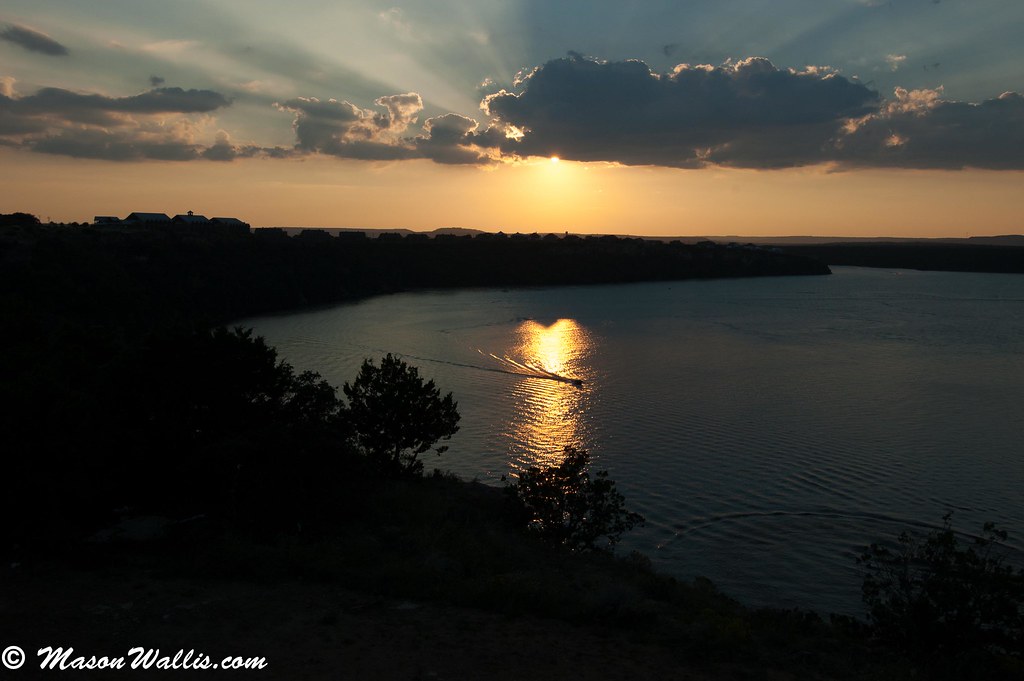
Sunset 2.jpg
DSC_0349.jpg
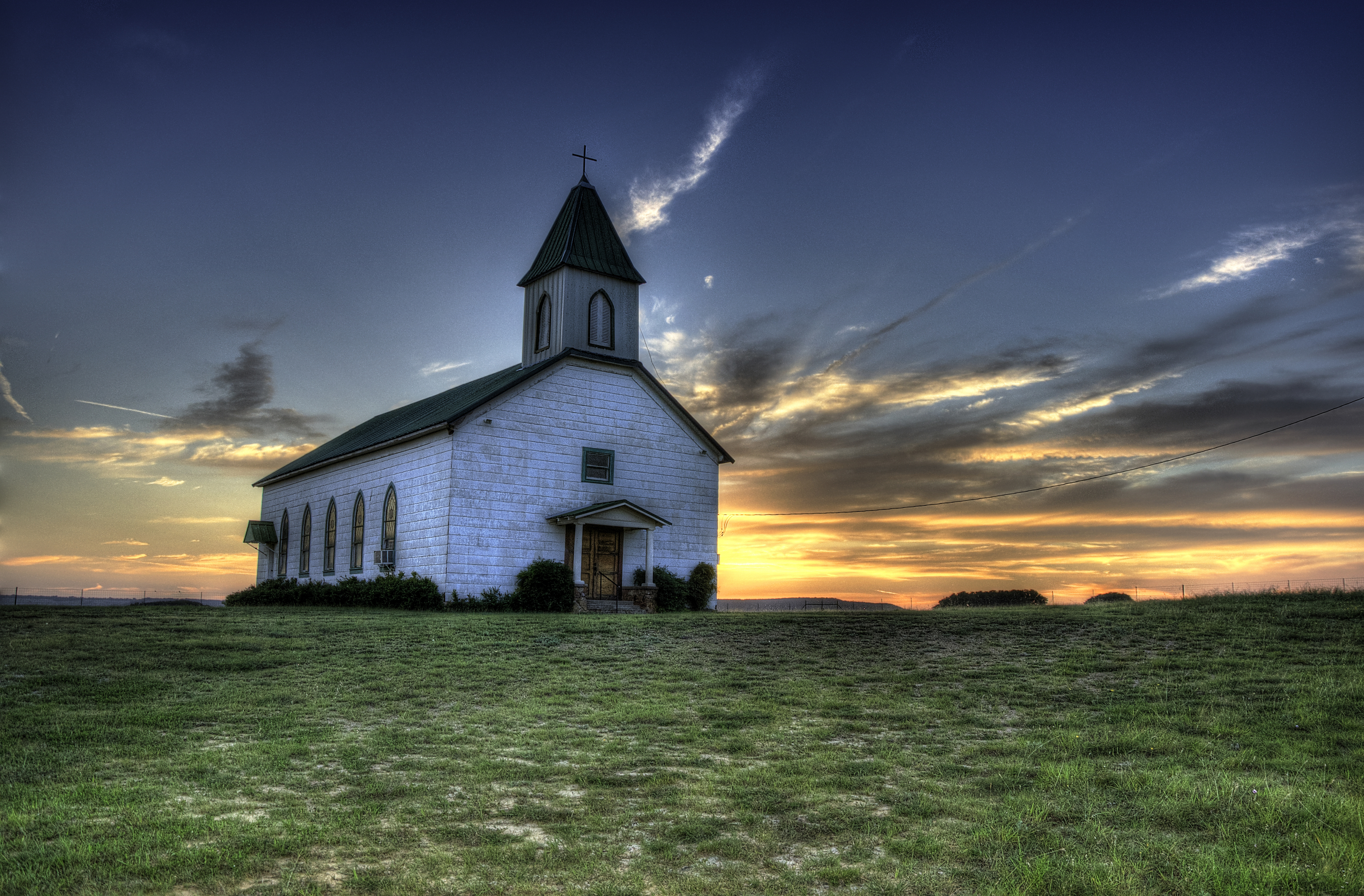
St. Boniface at Sunset I
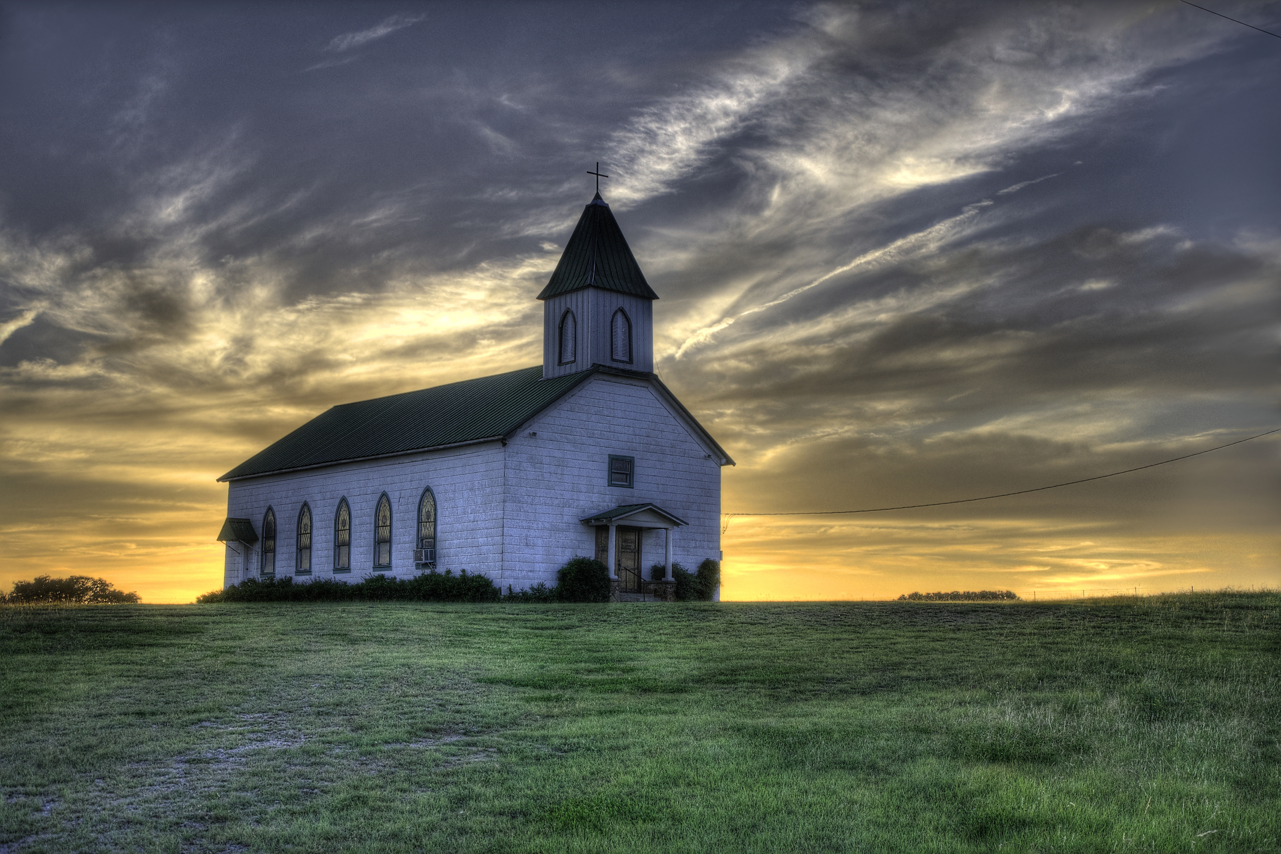
St. Boniface at Sunset II

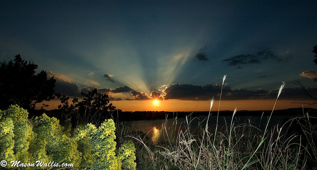
Brazos Valley Sunrise
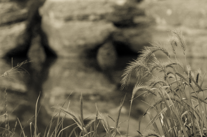
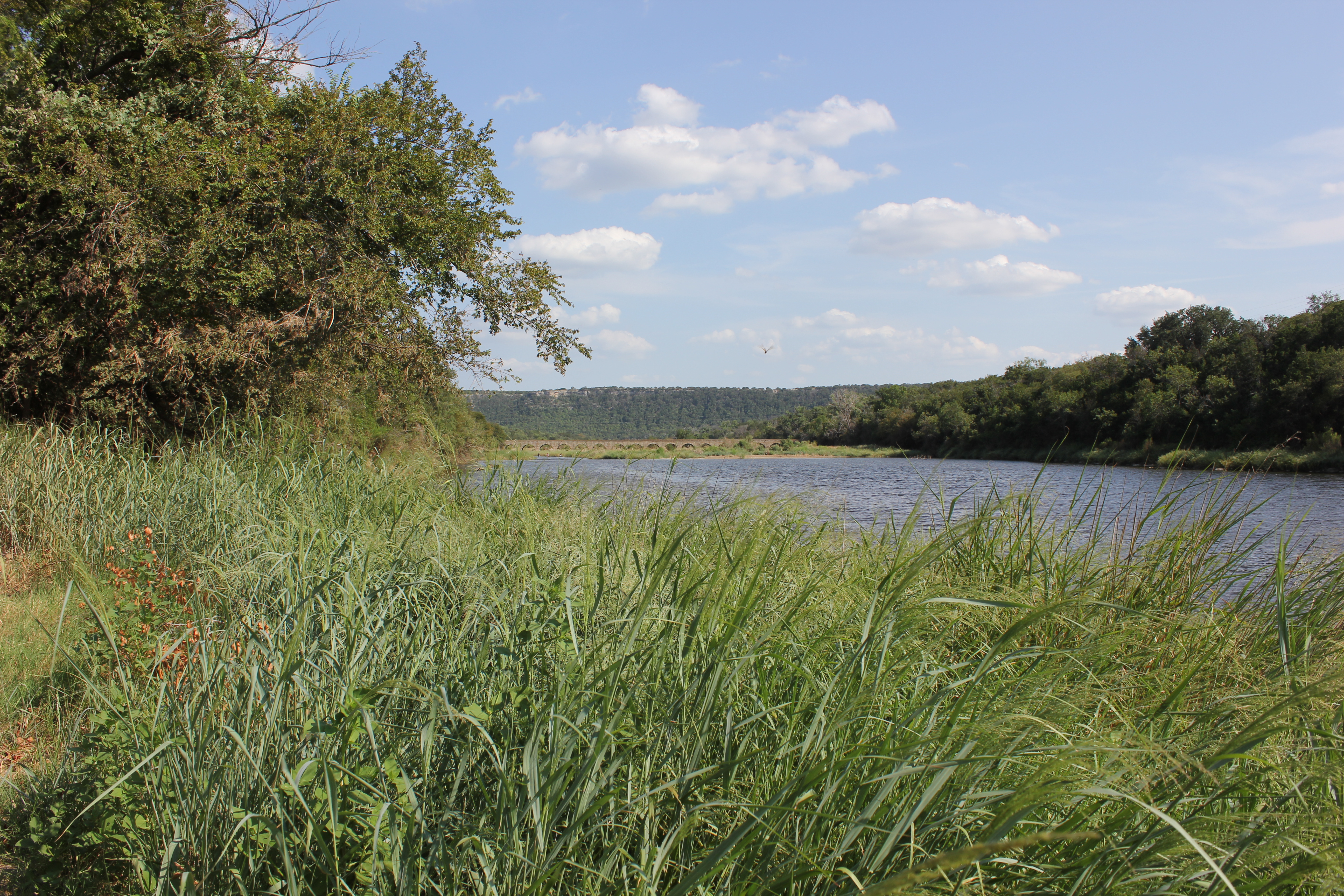
grassy foreground
20070519-0645--web
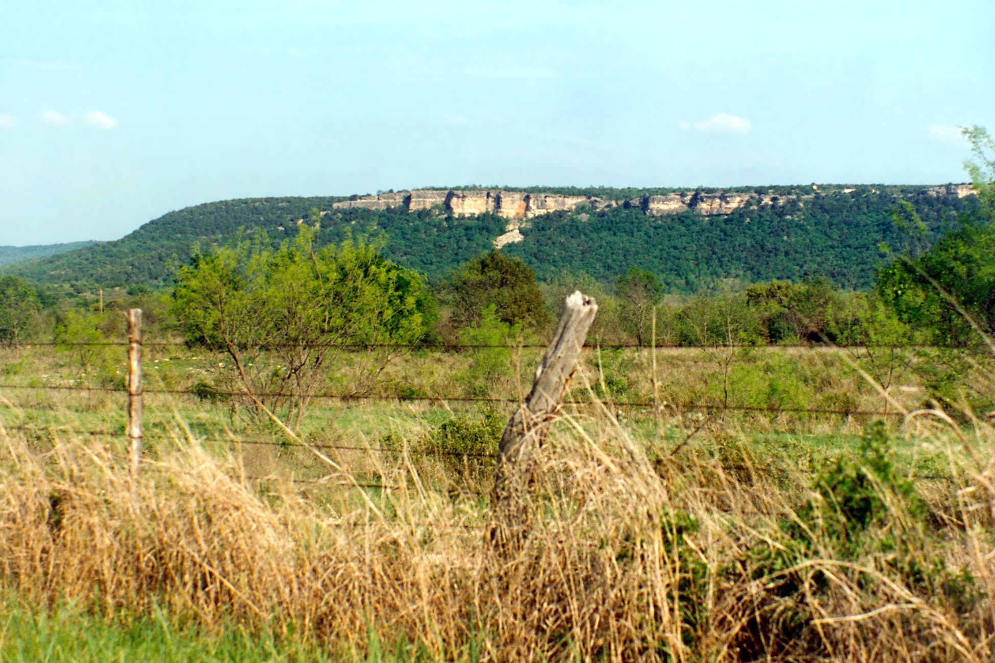
View of Bluffs, Metcalf Gap, Palo Pinto County
The Road Less Traveled
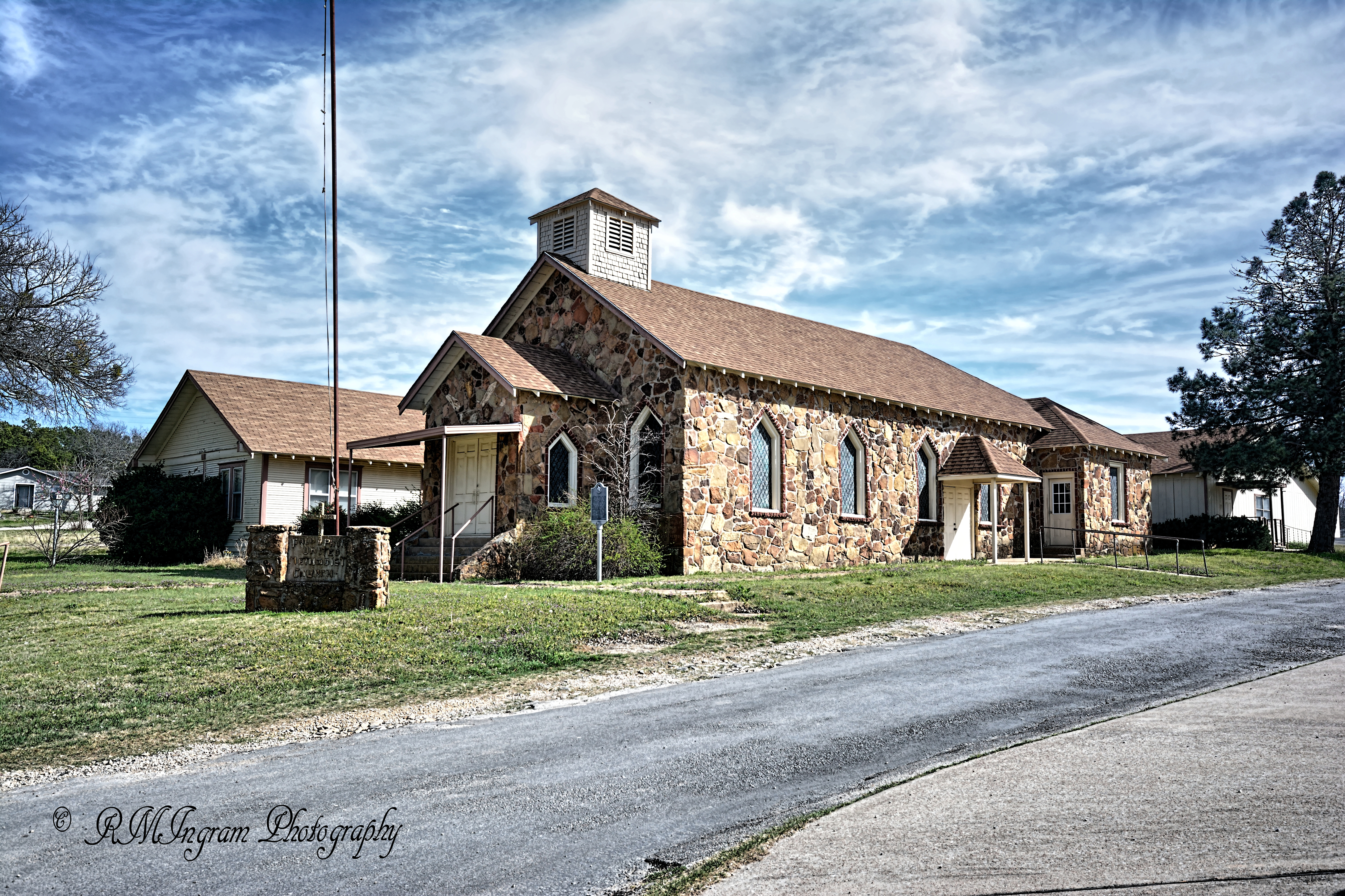
United Methodist Church
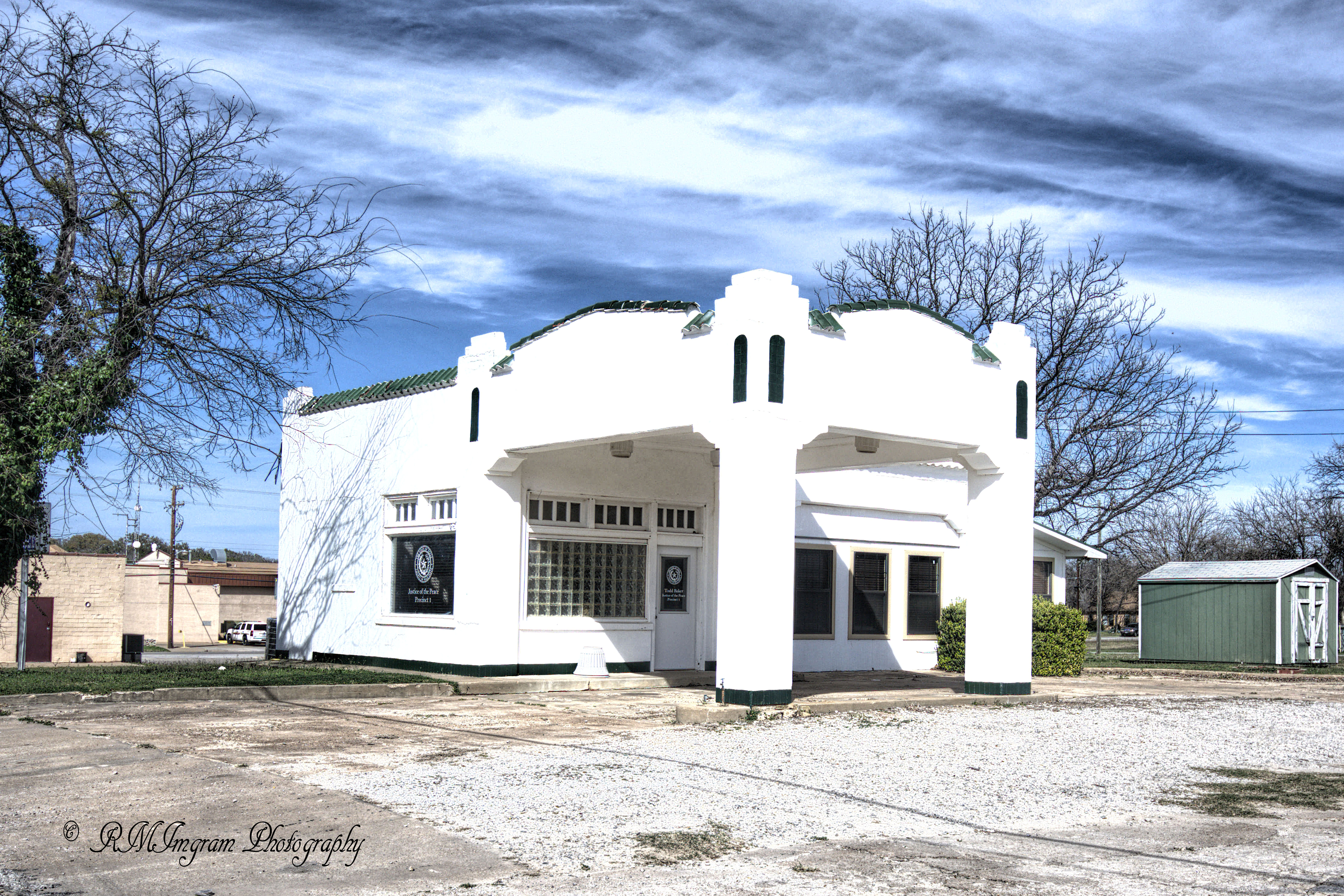
Old Filling Station
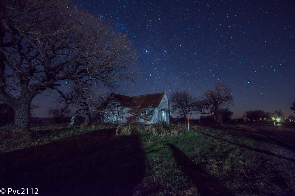
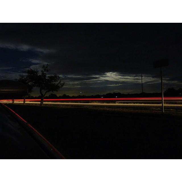
Palo Pinto night sky
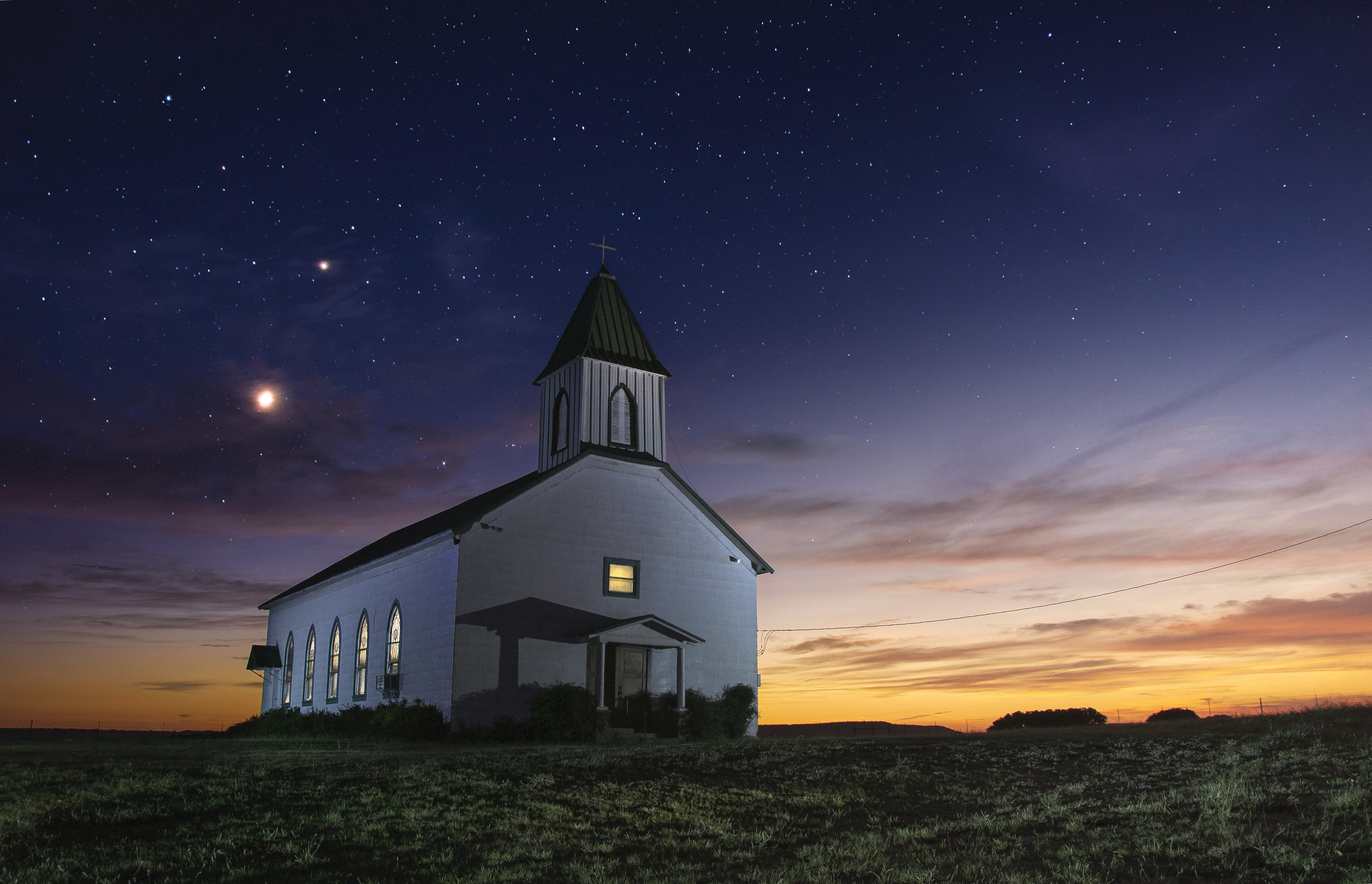
Eternal Church

Shallow Pointe - Punto Llano

Spooky Twig - Rama Tenebrosa
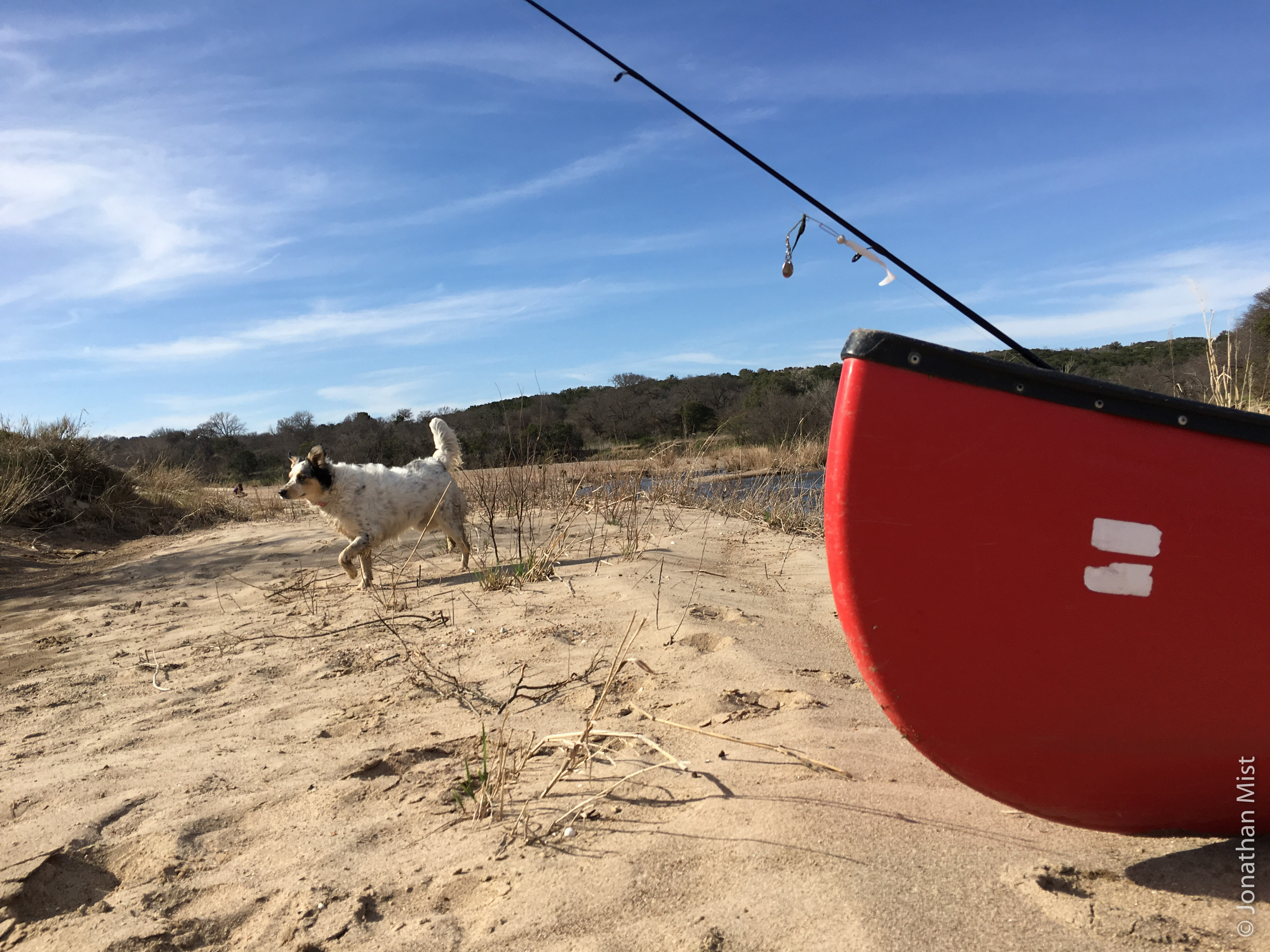
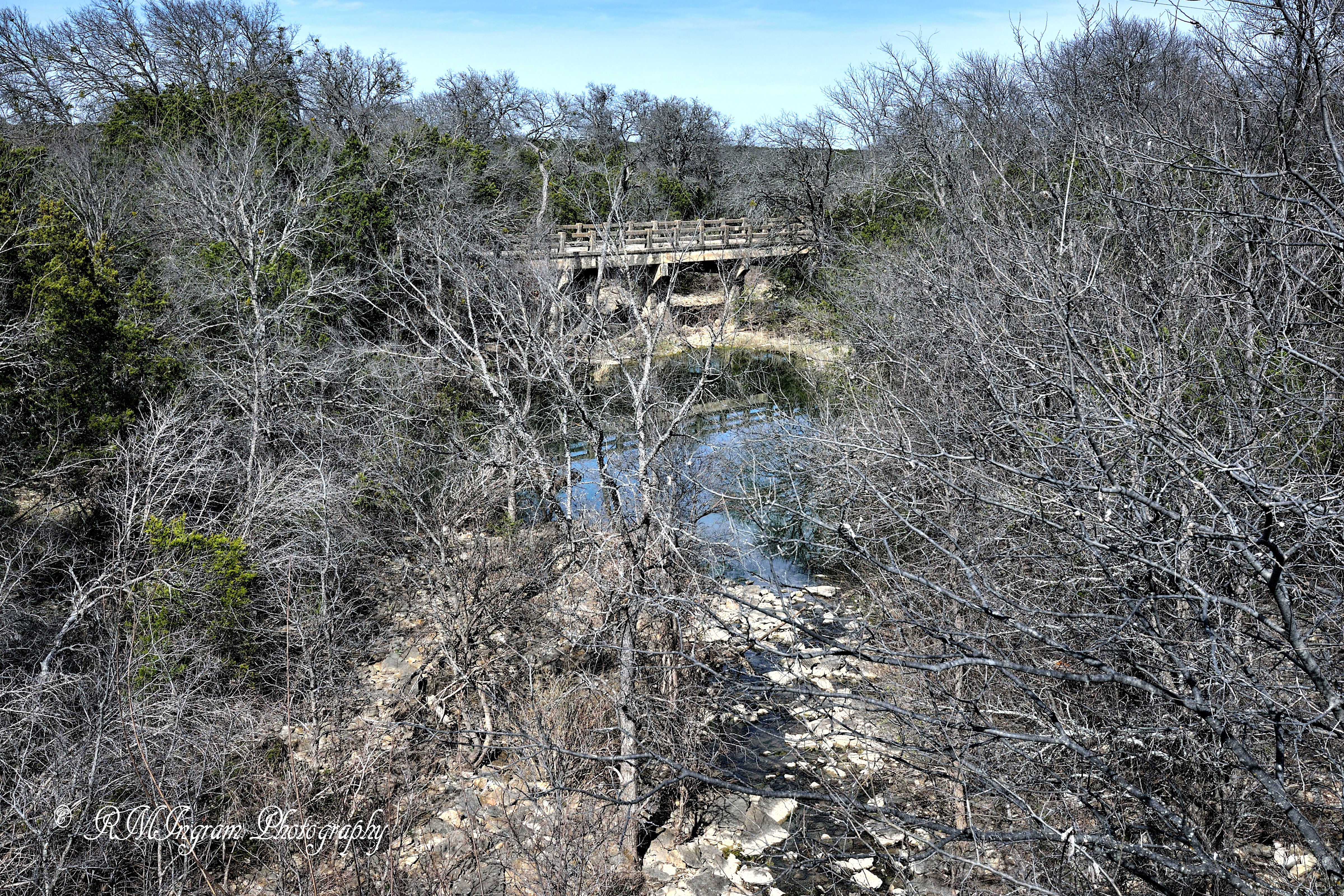
Time to stretch our legs
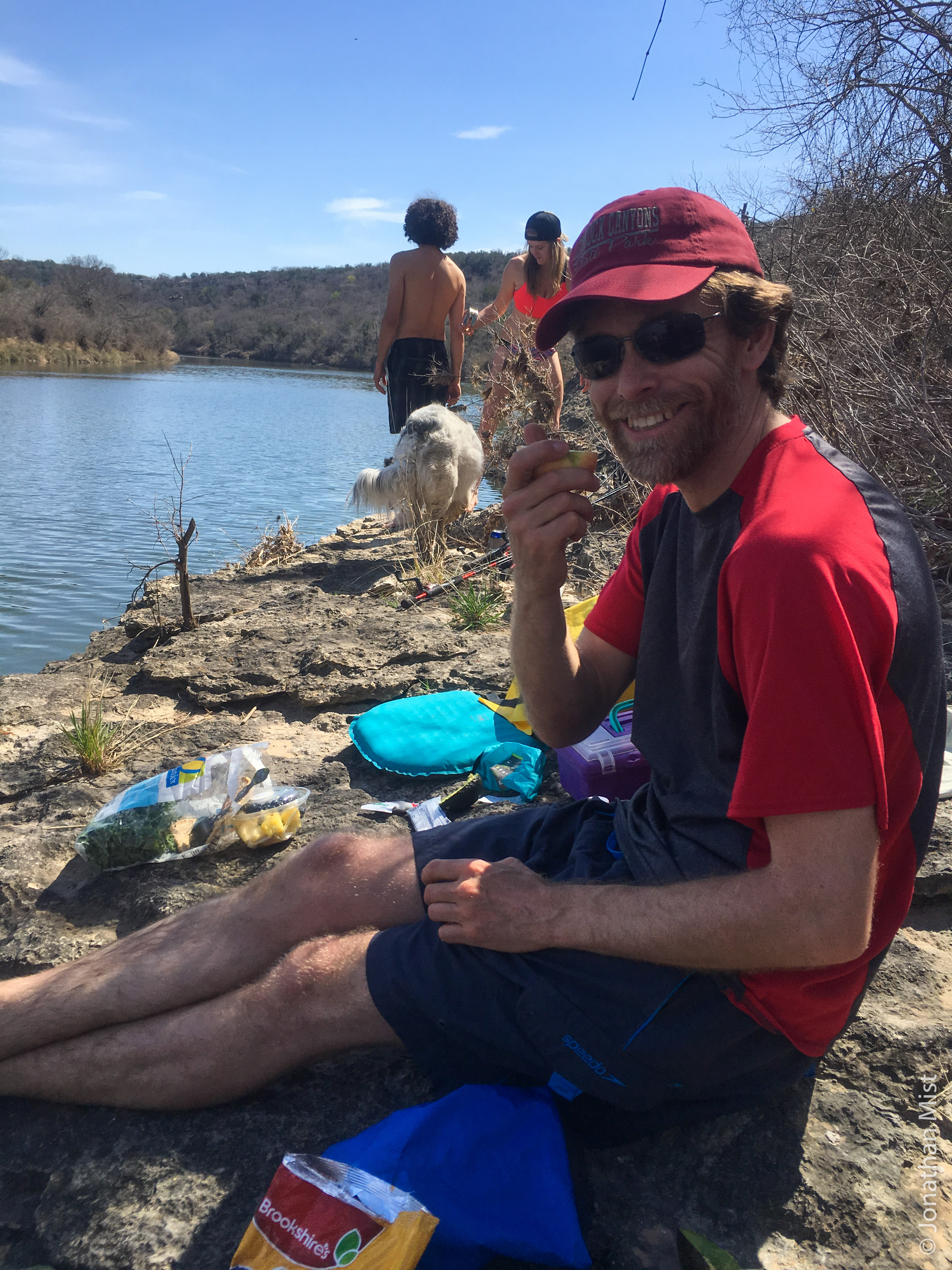
Munching apples
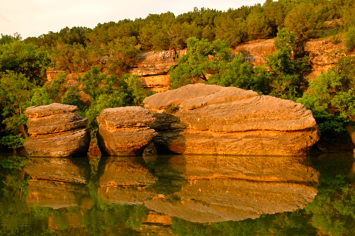
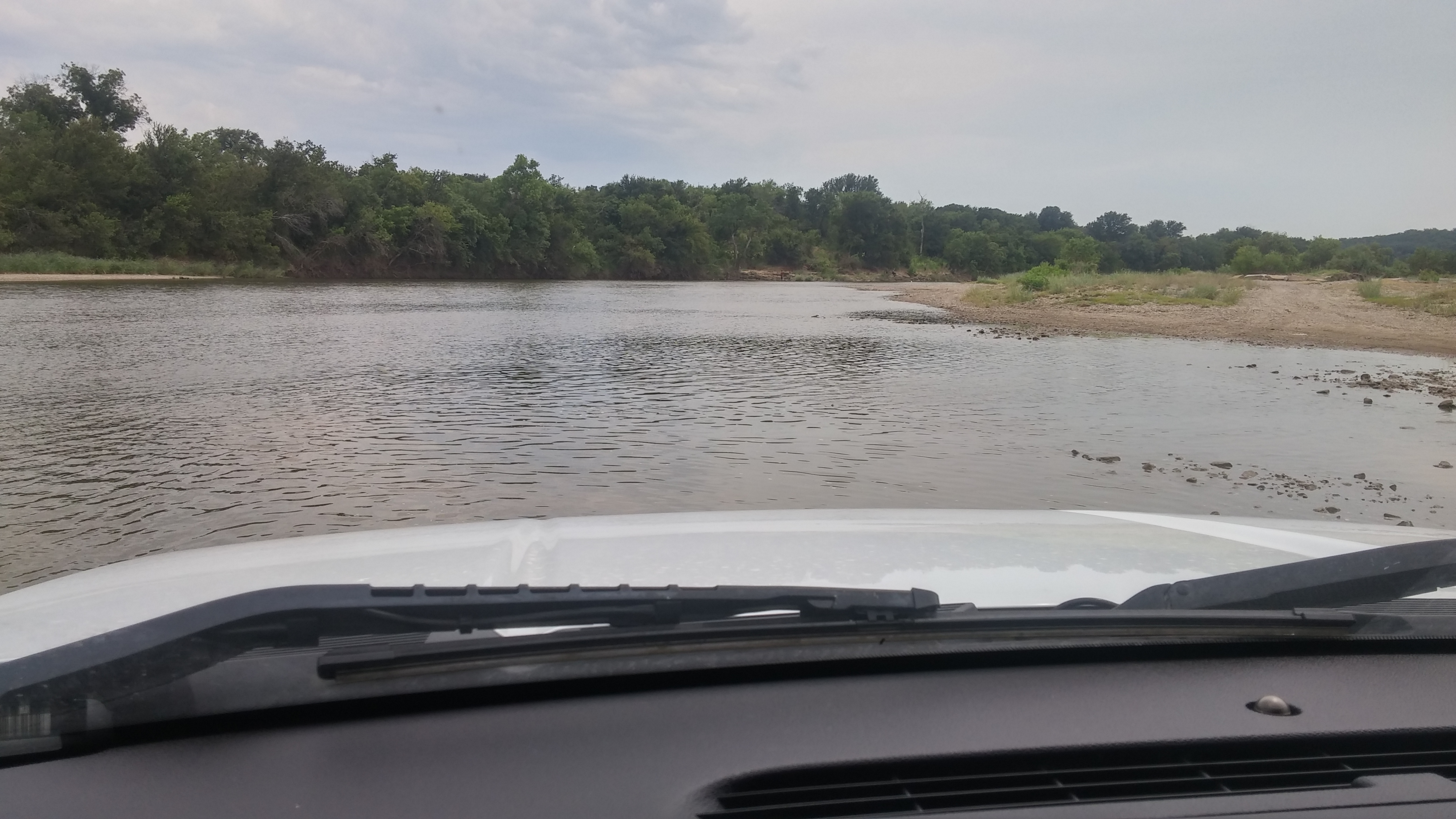
Brazos River
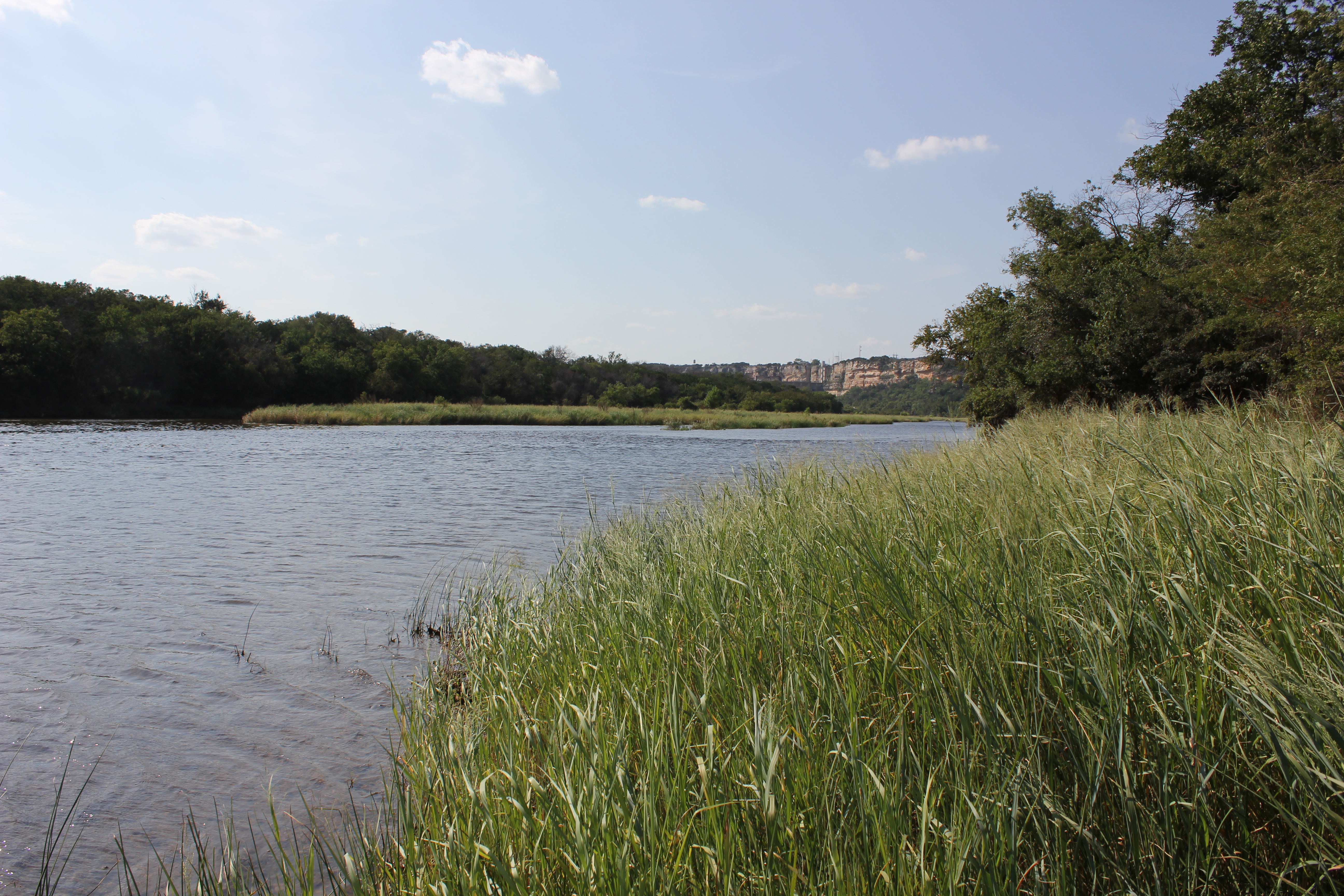
Brazos River
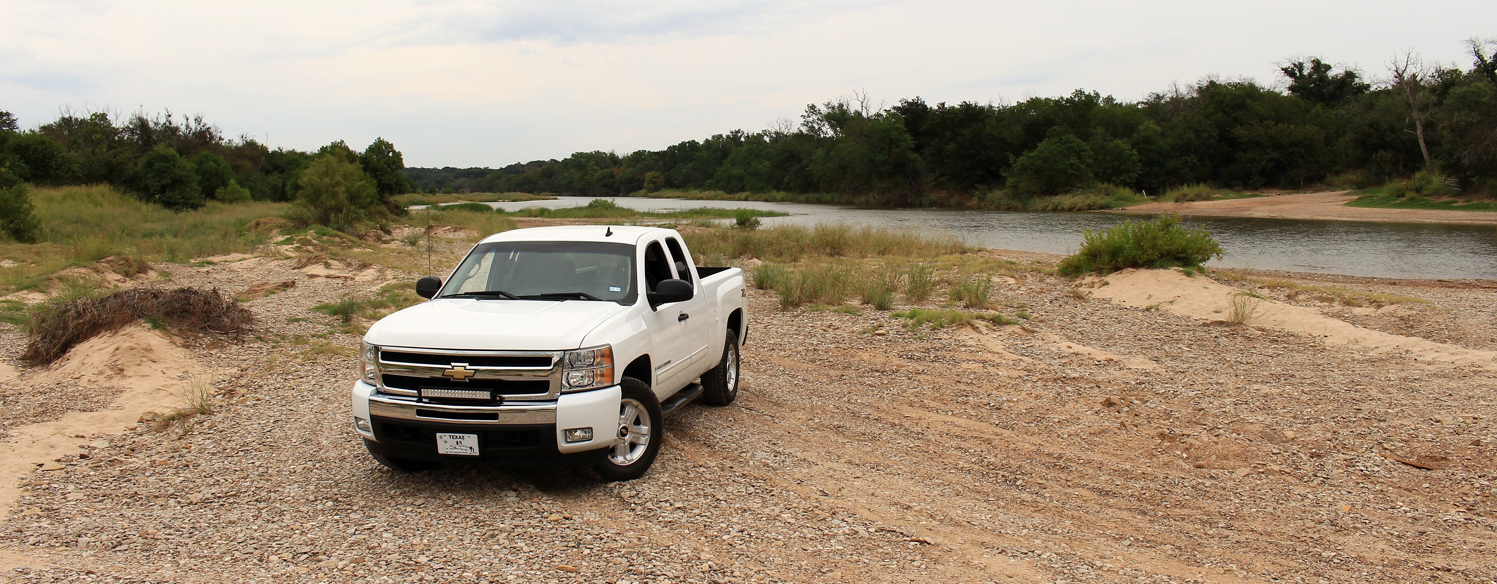
Another day at the Brazos River
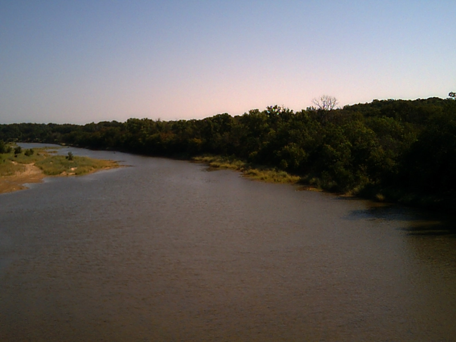
Brazos River
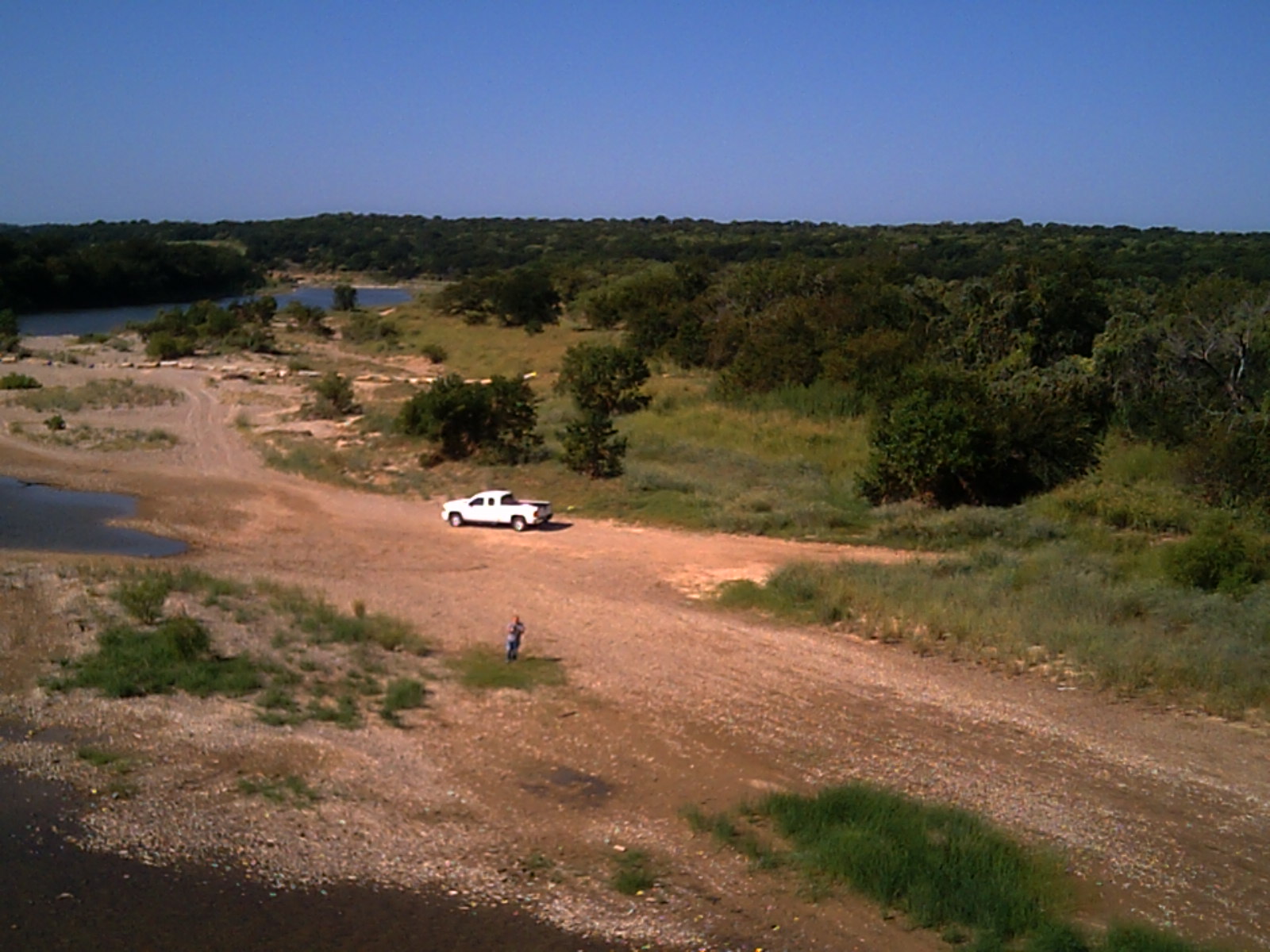
Brazos River
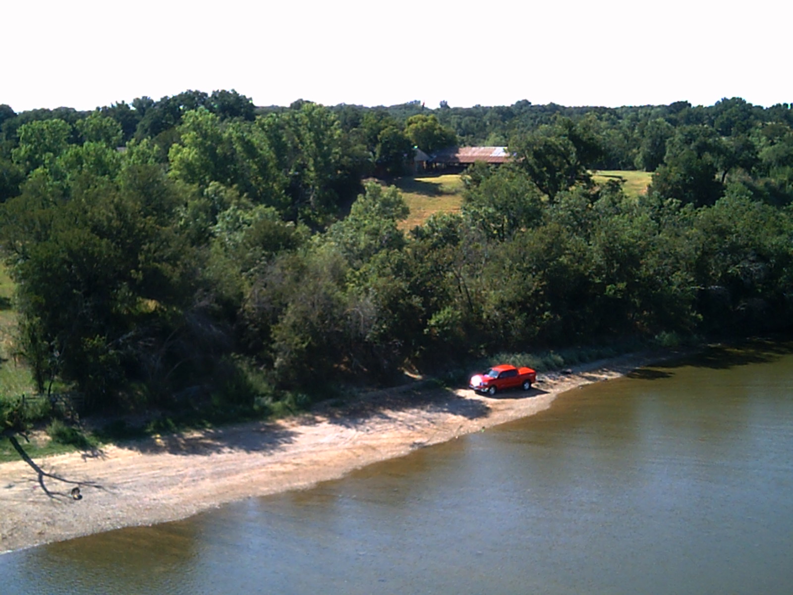
Brazos River

Brazos River
Playing in the Brazos River

Playing in the Brazos River
.
Mapa de Condado de Palo Pinto, Texas, EE. UU.
Buscar otro lugar
lugares en Condado de Palo Pinto, Texas, EE. UU.
Mineral Wells, Texas, EE. UU.
Santo, TX, EE. UU.
Gordon, Texas, EE. UU.
Graford, Texas, EE. UU.
Mingus, Texas, EE. UU.
Palo Pinto, Texas, EE. UU.
Strawn, Texas, EE. UU.
Lugares cercanos
Palo Pinto, Texas, EE. UU.
Santo, TX, EE. UU.
FM 4, Santo, TX, EE. UU.
Unnamed Road, Gordon, TX, EE. UU.
Graford, Texas, EE. UU.
E Powell Ave, Graford, TX, EE. UU.
Inspiration Point Rd, Mineral Wells, TX, EE. UU.
Mineral Wells, Texas, EE. UU.
Mineral Wells, Texas, EE. UU.
D SE 1st St, Mineral Wells, TX, EE. UU.
E Cedar St, Gordon, TX, EE. UU.
Gordon, Texas, EE. UU.
Withers Rd, Mineral Wells, TX, EE. UU.
TX-, Gordon, TX, EE. UU.
E Hubbard St, Mineral Wells, TX, EE. UU.
SE 23rd Ave, Mineral Wells, TX, EE. UU.
Rock Creek Camp LP, Rock Creek Rd, Graford, TX, EE. UU.
Mingus, Texas, EE. UU.
Giles Ln, Santo, TX, EE. UU.
River View Rd, Millsap, TX, EE. UU.
Búsquedas recientes
- Horas de salida y puesta de sol de -1 Gosho, Ichihara, Chiba -, Japan
- Horas de salida y puesta de sol de -, Japan
- Horas de salida y puesta de sol de Spaceport America, Co Rd A, Truth or Consequences, NM, USA
- Horas de salida y puesta de sol de Warwick, Rhode Island, EE. UU.
- Horas de salida y puesta de sol de Moriyama House, 3-chōme-21-21 Nishikamata, Ota City, Tokyo -, Japón
- Horas de salida y puesta de sol de Diez mil tatamis, Sawasaki, Sado, Niigata -, Japón
- Horas de salida y puesta de sol de W Granada St, Tampa, FL, EE. UU.
- Horas de salida y puesta de sol de Santa María Jalapa del Marqués, Oax., México
- Horas de salida y puesta de sol de Pykes Down, Ivybridge PL21 0BY, Reino Unido
- Horas de salida y puesta de sol de Wuzhi Mountain, Wuzhishan City, China