Horas de salida y puesta de sol de Mount Manson, Fraser Valley B, BC V0X, Canadá
Location: Canadá > Columbia Británica > Hope >
Zona horaria:
America/Vancouver
Hora local:
2024-04-26 23:46:51
Longitud:
-121.1733333
Latitud:
49.3066666
Salida de sol de hoy:
05:47:52 AM
Puesta de sol de hoy:
08:16:30 PM
La duración del día hoy:
14h 28m 38s
Salida de sol de mañana:
05:46:06 AM
Puesta de sol de mañana:
08:18:00 PM
La duración del día mañana:
14h 31m 54s
Mostrar todas las fechas
| Fecha | Salida de sol | Puesta de sol | Duración del día |
|---|---|---|---|
| 01/01/2024 | 07:59:52 AM | 04:17:16 PM | 8h 17m 24s |
| 02/01/2024 | 07:59:46 AM | 04:18:18 PM | 8h 18m 32s |
| 03/01/2024 | 07:59:36 AM | 04:19:23 PM | 8h 19m 47s |
| 04/01/2024 | 07:59:23 AM | 04:20:29 PM | 8h 21m 6s |
| 05/01/2024 | 07:59:07 AM | 04:21:38 PM | 8h 22m 31s |
| 06/01/2024 | 07:58:49 AM | 04:22:49 PM | 8h 24m 0s |
| 07/01/2024 | 07:58:27 AM | 04:24:03 PM | 8h 25m 36s |
| 08/01/2024 | 07:58:02 AM | 04:25:18 PM | 8h 27m 16s |
| 09/01/2024 | 07:57:34 AM | 04:26:34 PM | 8h 29m 0s |
| 10/01/2024 | 07:57:04 AM | 04:27:53 PM | 8h 30m 49s |
| 11/01/2024 | 07:56:30 AM | 04:29:14 PM | 8h 32m 44s |
| 12/01/2024 | 07:55:54 AM | 04:30:36 PM | 8h 34m 42s |
| 13/01/2024 | 07:55:15 AM | 04:31:59 PM | 8h 36m 44s |
| 14/01/2024 | 07:54:33 AM | 04:33:24 PM | 8h 38m 51s |
| 15/01/2024 | 07:53:48 AM | 04:34:51 PM | 8h 41m 3s |
| 16/01/2024 | 07:53:01 AM | 04:36:19 PM | 8h 43m 18s |
| 17/01/2024 | 07:52:11 AM | 04:37:48 PM | 8h 45m 37s |
| 18/01/2024 | 07:51:18 AM | 04:39:18 PM | 8h 48m 0s |
| 19/01/2024 | 07:50:23 AM | 04:40:49 PM | 8h 50m 26s |
| 20/01/2024 | 07:49:25 AM | 04:42:22 PM | 8h 52m 57s |
| 21/01/2024 | 07:48:25 AM | 04:43:55 PM | 8h 55m 30s |
| 22/01/2024 | 07:47:22 AM | 04:45:29 PM | 8h 58m 7s |
| 23/01/2024 | 07:46:17 AM | 04:47:04 PM | 9h 0m 47s |
| 24/01/2024 | 07:45:09 AM | 04:48:40 PM | 9h 3m 31s |
| 25/01/2024 | 07:44:00 AM | 04:50:17 PM | 9h 6m 17s |
| 26/01/2024 | 07:42:48 AM | 04:51:54 PM | 9h 9m 6s |
| 27/01/2024 | 07:41:33 AM | 04:53:32 PM | 9h 11m 59s |
| 28/01/2024 | 07:40:17 AM | 04:55:10 PM | 9h 14m 53s |
| 29/01/2024 | 07:38:59 AM | 04:56:49 PM | 9h 17m 50s |
| 30/01/2024 | 07:37:38 AM | 04:58:28 PM | 9h 20m 50s |
| 31/01/2024 | 07:36:16 AM | 05:00:08 PM | 9h 23m 52s |
| 01/02/2024 | 07:34:51 AM | 05:01:48 PM | 9h 26m 57s |
| 02/02/2024 | 07:33:25 AM | 05:03:28 PM | 9h 30m 3s |
| 03/02/2024 | 07:31:57 AM | 05:05:08 PM | 9h 33m 11s |
| 04/02/2024 | 07:30:27 AM | 05:06:49 PM | 9h 36m 22s |
| 05/02/2024 | 07:28:55 AM | 05:08:30 PM | 9h 39m 35s |
| 06/02/2024 | 07:27:22 AM | 05:10:10 PM | 9h 42m 48s |
| 07/02/2024 | 07:25:47 AM | 05:11:51 PM | 9h 46m 4s |
| 08/02/2024 | 07:24:10 AM | 05:13:32 PM | 9h 49m 22s |
| 09/02/2024 | 07:22:32 AM | 05:15:13 PM | 9h 52m 41s |
| 10/02/2024 | 07:20:52 AM | 05:16:54 PM | 9h 56m 2s |
| 11/02/2024 | 07:19:11 AM | 05:18:35 PM | 9h 59m 24s |
| 12/02/2024 | 07:17:28 AM | 05:20:15 PM | 10h 2m 47s |
| 13/02/2024 | 07:15:44 AM | 05:21:56 PM | 10h 6m 12s |
| 14/02/2024 | 07:13:59 AM | 05:23:36 PM | 10h 9m 37s |
| 15/02/2024 | 07:12:12 AM | 05:25:17 PM | 10h 13m 5s |
| 16/02/2024 | 07:10:24 AM | 05:26:57 PM | 10h 16m 33s |
| 17/02/2024 | 07:08:35 AM | 05:28:37 PM | 10h 20m 2s |
| 18/02/2024 | 07:06:45 AM | 05:30:17 PM | 10h 23m 32s |
| 19/02/2024 | 07:04:54 AM | 05:31:56 PM | 10h 27m 2s |
| 20/02/2024 | 07:03:01 AM | 05:33:35 PM | 10h 30m 34s |
| 21/02/2024 | 07:01:08 AM | 05:35:14 PM | 10h 34m 6s |
| 22/02/2024 | 06:59:13 AM | 05:36:53 PM | 10h 37m 40s |
| 23/02/2024 | 06:57:18 AM | 05:38:32 PM | 10h 41m 14s |
| 24/02/2024 | 06:55:21 AM | 05:40:10 PM | 10h 44m 49s |
| 25/02/2024 | 06:53:24 AM | 05:41:48 PM | 10h 48m 24s |
| 26/02/2024 | 06:51:26 AM | 05:43:26 PM | 10h 52m 0s |
| 27/02/2024 | 06:49:27 AM | 05:45:03 PM | 10h 55m 36s |
| 28/02/2024 | 06:47:27 AM | 05:46:40 PM | 10h 59m 13s |
| 29/02/2024 | 06:45:27 AM | 05:48:17 PM | 11h 2m 50s |
| 01/03/2024 | 06:43:25 AM | 05:49:54 PM | 11h 6m 29s |
| 02/03/2024 | 06:41:24 AM | 05:51:30 PM | 11h 10m 6s |
| 03/03/2024 | 06:39:21 AM | 05:53:06 PM | 11h 13m 45s |
| 04/03/2024 | 06:37:18 AM | 05:54:42 PM | 11h 17m 24s |
| 05/03/2024 | 06:35:14 AM | 05:56:18 PM | 11h 21m 4s |
| 06/03/2024 | 06:33:10 AM | 05:57:53 PM | 11h 24m 43s |
| 07/03/2024 | 06:31:06 AM | 05:59:28 PM | 11h 28m 22s |
| 08/03/2024 | 06:29:00 AM | 06:01:03 PM | 11h 32m 3s |
| 09/03/2024 | 06:26:55 AM | 06:02:37 PM | 11h 35m 42s |
| 10/03/2024 | 07:24:54 AM | 07:04:07 PM | 11h 39m 13s |
| 11/03/2024 | 07:22:48 AM | 07:05:41 PM | 11h 42m 53s |
| 12/03/2024 | 07:20:41 AM | 07:07:15 PM | 11h 46m 34s |
| 13/03/2024 | 07:18:34 AM | 07:08:49 PM | 11h 50m 15s |
| 14/03/2024 | 07:16:27 AM | 07:10:22 PM | 11h 53m 55s |
| 15/03/2024 | 07:14:20 AM | 07:11:56 PM | 11h 57m 36s |
| 16/03/2024 | 07:12:12 AM | 07:13:29 PM | 12h 1m 17s |
| 17/03/2024 | 07:10:04 AM | 07:15:02 PM | 12h 4m 58s |
| 18/03/2024 | 07:07:57 AM | 07:16:34 PM | 12h 8m 37s |
| 19/03/2024 | 07:05:48 AM | 07:18:07 PM | 12h 12m 19s |
| 20/03/2024 | 07:03:40 AM | 07:19:39 PM | 12h 15m 59s |
| 21/03/2024 | 07:01:32 AM | 07:21:11 PM | 12h 19m 39s |
| 22/03/2024 | 06:59:24 AM | 07:22:44 PM | 12h 23m 20s |
| 23/03/2024 | 06:57:16 AM | 07:24:16 PM | 12h 27m 0s |
| 24/03/2024 | 06:55:08 AM | 07:25:48 PM | 12h 30m 40s |
| 25/03/2024 | 06:53:00 AM | 07:27:19 PM | 12h 34m 19s |
| 26/03/2024 | 06:50:52 AM | 07:28:51 PM | 12h 37m 59s |
| 27/03/2024 | 06:48:44 AM | 07:30:23 PM | 12h 41m 39s |
| 28/03/2024 | 06:46:36 AM | 07:31:54 PM | 12h 45m 18s |
| 29/03/2024 | 06:44:29 AM | 07:33:26 PM | 12h 48m 57s |
| 30/03/2024 | 06:42:21 AM | 07:34:57 PM | 12h 52m 36s |
| 31/03/2024 | 06:40:14 AM | 07:36:29 PM | 12h 56m 15s |
| 01/04/2024 | 06:38:08 AM | 07:38:00 PM | 12h 59m 52s |
| 02/04/2024 | 06:36:01 AM | 07:39:32 PM | 13h 3m 31s |
| 03/04/2024 | 06:33:55 AM | 07:41:03 PM | 13h 7m 8s |
| 04/04/2024 | 06:31:50 AM | 07:42:34 PM | 13h 10m 44s |
| 05/04/2024 | 06:29:45 AM | 07:44:06 PM | 13h 14m 21s |
| 06/04/2024 | 06:27:40 AM | 07:45:37 PM | 13h 17m 57s |
| 07/04/2024 | 06:25:36 AM | 07:47:08 PM | 13h 21m 32s |
| 08/04/2024 | 06:23:32 AM | 07:48:39 PM | 13h 25m 7s |
| 09/04/2024 | 06:21:29 AM | 07:50:11 PM | 13h 28m 42s |
| 10/04/2024 | 06:19:26 AM | 07:51:42 PM | 13h 32m 16s |
| 11/04/2024 | 06:17:24 AM | 07:53:13 PM | 13h 35m 49s |
| 12/04/2024 | 06:15:23 AM | 07:54:44 PM | 13h 39m 21s |
| 13/04/2024 | 06:13:22 AM | 07:56:15 PM | 13h 42m 53s |
| 14/04/2024 | 06:11:22 AM | 07:57:47 PM | 13h 46m 25s |
| 15/04/2024 | 06:09:23 AM | 07:59:18 PM | 13h 49m 55s |
| 16/04/2024 | 06:07:25 AM | 08:00:49 PM | 13h 53m 24s |
| 17/04/2024 | 06:05:27 AM | 08:02:20 PM | 13h 56m 53s |
| 18/04/2024 | 06:03:30 AM | 08:03:51 PM | 14h 0m 21s |
| 19/04/2024 | 06:01:35 AM | 08:05:22 PM | 14h 3m 47s |
| 20/04/2024 | 05:59:40 AM | 08:06:53 PM | 14h 7m 13s |
| 21/04/2024 | 05:57:46 AM | 08:08:24 PM | 14h 10m 38s |
| 22/04/2024 | 05:55:53 AM | 08:09:54 PM | 14h 14m 1s |
| 23/04/2024 | 05:54:01 AM | 08:11:25 PM | 14h 17m 24s |
| 24/04/2024 | 05:52:11 AM | 08:12:55 PM | 14h 20m 44s |
| 25/04/2024 | 05:50:21 AM | 08:14:26 PM | 14h 24m 5s |
| 26/04/2024 | 05:48:33 AM | 08:15:56 PM | 14h 27m 23s |
| 27/04/2024 | 05:46:45 AM | 08:17:26 PM | 14h 30m 41s |
| 28/04/2024 | 05:44:59 AM | 08:18:56 PM | 14h 33m 57s |
| 29/04/2024 | 05:43:15 AM | 08:20:25 PM | 14h 37m 10s |
| 30/04/2024 | 05:41:32 AM | 08:21:55 PM | 14h 40m 23s |
| 01/05/2024 | 05:39:50 AM | 08:23:24 PM | 14h 43m 34s |
| 02/05/2024 | 05:38:09 AM | 08:24:52 PM | 14h 46m 43s |
| 03/05/2024 | 05:36:30 AM | 08:26:21 PM | 14h 49m 51s |
| 04/05/2024 | 05:34:52 AM | 08:27:49 PM | 14h 52m 57s |
| 05/05/2024 | 05:33:16 AM | 08:29:16 PM | 14h 56m 0s |
| 06/05/2024 | 05:31:42 AM | 08:30:43 PM | 14h 59m 1s |
| 07/05/2024 | 05:30:09 AM | 08:32:10 PM | 15h 2m 1s |
| 08/05/2024 | 05:28:38 AM | 08:33:36 PM | 15h 4m 58s |
| 09/05/2024 | 05:27:09 AM | 08:35:01 PM | 15h 7m 52s |
| 10/05/2024 | 05:25:41 AM | 08:36:26 PM | 15h 10m 45s |
| 11/05/2024 | 05:24:15 AM | 08:37:50 PM | 15h 13m 35s |
| 12/05/2024 | 05:22:51 AM | 08:39:14 PM | 15h 16m 23s |
| 13/05/2024 | 05:21:29 AM | 08:40:36 PM | 15h 19m 7s |
| 14/05/2024 | 05:20:09 AM | 08:41:58 PM | 15h 21m 49s |
| 15/05/2024 | 05:18:51 AM | 08:43:19 PM | 15h 24m 28s |
| 16/05/2024 | 05:17:35 AM | 08:44:40 PM | 15h 27m 5s |
| 17/05/2024 | 05:16:20 AM | 08:45:59 PM | 15h 29m 39s |
| 18/05/2024 | 05:15:08 AM | 08:47:17 PM | 15h 32m 9s |
| 19/05/2024 | 05:13:59 AM | 08:48:34 PM | 15h 34m 35s |
| 20/05/2024 | 05:12:51 AM | 08:49:50 PM | 15h 36m 59s |
| 21/05/2024 | 05:11:46 AM | 08:51:05 PM | 15h 39m 19s |
| 22/05/2024 | 05:10:43 AM | 08:52:18 PM | 15h 41m 35s |
| 23/05/2024 | 05:09:42 AM | 08:53:30 PM | 15h 43m 48s |
| 24/05/2024 | 05:08:43 AM | 08:54:41 PM | 15h 45m 58s |
| 25/05/2024 | 05:07:47 AM | 08:55:51 PM | 15h 48m 4s |
| 26/05/2024 | 05:06:54 AM | 08:56:58 PM | 15h 50m 4s |
| 27/05/2024 | 05:06:03 AM | 08:58:05 PM | 15h 52m 2s |
| 28/05/2024 | 05:05:14 AM | 08:59:09 PM | 15h 53m 55s |
| 29/05/2024 | 05:04:28 AM | 09:00:13 PM | 15h 55m 45s |
| 30/05/2024 | 05:03:45 AM | 09:01:14 PM | 15h 57m 29s |
| 31/05/2024 | 05:03:04 AM | 09:02:13 PM | 15h 59m 9s |
| 01/06/2024 | 05:02:26 AM | 09:03:11 PM | 16h 0m 45s |
| 02/06/2024 | 05:01:50 AM | 09:04:07 PM | 16h 2m 17s |
| 03/06/2024 | 05:01:17 AM | 09:05:00 PM | 16h 3m 43s |
| 04/06/2024 | 05:00:47 AM | 09:05:52 PM | 16h 5m 5s |
| 05/06/2024 | 05:00:19 AM | 09:06:42 PM | 16h 6m 23s |
| 06/06/2024 | 04:59:55 AM | 09:07:29 PM | 16h 7m 34s |
| 07/06/2024 | 04:59:33 AM | 09:08:14 PM | 16h 8m 41s |
| 08/06/2024 | 04:59:13 AM | 09:08:57 PM | 16h 9m 44s |
| 09/06/2024 | 04:58:57 AM | 09:09:38 PM | 16h 10m 41s |
| 10/06/2024 | 04:58:43 AM | 09:10:16 PM | 16h 11m 33s |
| 11/06/2024 | 04:58:32 AM | 09:10:52 PM | 16h 12m 20s |
| 12/06/2024 | 04:58:24 AM | 09:11:25 PM | 16h 13m 1s |
| 13/06/2024 | 04:58:19 AM | 09:11:56 PM | 16h 13m 37s |
| 14/06/2024 | 04:58:16 AM | 09:12:25 PM | 16h 14m 9s |
| 15/06/2024 | 04:58:16 AM | 09:12:50 PM | 16h 14m 34s |
| 16/06/2024 | 04:58:19 AM | 09:13:13 PM | 16h 14m 54s |
| 17/06/2024 | 04:58:25 AM | 09:13:34 PM | 16h 15m 9s |
| 18/06/2024 | 04:58:33 AM | 09:13:52 PM | 16h 15m 19s |
| 19/06/2024 | 04:58:44 AM | 09:14:07 PM | 16h 15m 23s |
| 20/06/2024 | 04:58:58 AM | 09:14:19 PM | 16h 15m 21s |
| 21/06/2024 | 04:59:14 AM | 09:14:29 PM | 16h 15m 15s |
| 22/06/2024 | 04:59:34 AM | 09:14:35 PM | 16h 15m 1s |
| 23/06/2024 | 04:59:55 AM | 09:14:39 PM | 16h 14m 44s |
| 24/06/2024 | 05:00:19 AM | 09:14:41 PM | 16h 14m 22s |
| 25/06/2024 | 05:00:46 AM | 09:14:39 PM | 16h 13m 53s |
| 26/06/2024 | 05:01:15 AM | 09:14:34 PM | 16h 13m 19s |
| 27/06/2024 | 05:01:47 AM | 09:14:27 PM | 16h 12m 40s |
| 28/06/2024 | 05:02:21 AM | 09:14:17 PM | 16h 11m 56s |
| 29/06/2024 | 05:02:58 AM | 09:14:04 PM | 16h 11m 6s |
| 30/06/2024 | 05:03:37 AM | 09:13:48 PM | 16h 10m 11s |
| 01/07/2024 | 05:04:18 AM | 09:13:30 PM | 16h 9m 12s |
| 02/07/2024 | 05:05:01 AM | 09:13:08 PM | 16h 8m 7s |
| 03/07/2024 | 05:05:46 AM | 09:12:44 PM | 16h 6m 58s |
| 04/07/2024 | 05:06:34 AM | 09:12:17 PM | 16h 5m 43s |
| 05/07/2024 | 05:07:23 AM | 09:11:48 PM | 16h 4m 25s |
| 06/07/2024 | 05:08:15 AM | 09:11:15 PM | 16h 3m 0s |
| 07/07/2024 | 05:09:08 AM | 09:10:40 PM | 16h 1m 32s |
| 08/07/2024 | 05:10:04 AM | 09:10:02 PM | 15h 59m 58s |
| 09/07/2024 | 05:11:01 AM | 09:09:22 PM | 15h 58m 21s |
| 10/07/2024 | 05:11:59 AM | 09:08:38 PM | 15h 56m 39s |
| 11/07/2024 | 05:13:00 AM | 09:07:53 PM | 15h 54m 53s |
| 12/07/2024 | 05:14:02 AM | 09:07:04 PM | 15h 53m 2s |
| 13/07/2024 | 05:15:06 AM | 09:06:13 PM | 15h 51m 7s |
| 14/07/2024 | 05:16:11 AM | 09:05:20 PM | 15h 49m 9s |
| 15/07/2024 | 05:17:18 AM | 09:04:24 PM | 15h 47m 6s |
| 16/07/2024 | 05:18:26 AM | 09:03:26 PM | 15h 45m 0s |
| 17/07/2024 | 05:19:35 AM | 09:02:25 PM | 15h 42m 50s |
| 18/07/2024 | 05:20:46 AM | 09:01:22 PM | 15h 40m 36s |
| 19/07/2024 | 05:21:57 AM | 09:00:17 PM | 15h 38m 20s |
| 20/07/2024 | 05:23:10 AM | 08:59:09 PM | 15h 35m 59s |
| 21/07/2024 | 05:24:24 AM | 08:58:00 PM | 15h 33m 36s |
| 22/07/2024 | 05:25:39 AM | 08:56:48 PM | 15h 31m 9s |
| 23/07/2024 | 05:26:55 AM | 08:55:33 PM | 15h 28m 38s |
| 24/07/2024 | 05:28:12 AM | 08:54:17 PM | 15h 26m 5s |
| 25/07/2024 | 05:29:30 AM | 08:52:59 PM | 15h 23m 29s |
| 26/07/2024 | 05:30:49 AM | 08:51:39 PM | 15h 20m 50s |
| 27/07/2024 | 05:32:08 AM | 08:50:16 PM | 15h 18m 8s |
| 28/07/2024 | 05:33:28 AM | 08:48:52 PM | 15h 15m 24s |
| 29/07/2024 | 05:34:49 AM | 08:47:26 PM | 15h 12m 37s |
| 30/07/2024 | 05:36:10 AM | 08:45:58 PM | 15h 9m 48s |
| 31/07/2024 | 05:37:32 AM | 08:44:28 PM | 15h 6m 56s |
| 01/08/2024 | 05:38:54 AM | 08:42:57 PM | 15h 4m 3s |
| 02/08/2024 | 05:40:17 AM | 08:41:24 PM | 15h 1m 7s |
| 03/08/2024 | 05:41:41 AM | 08:39:49 PM | 14h 58m 8s |
| 04/08/2024 | 05:43:04 AM | 08:38:13 PM | 14h 55m 9s |
| 05/08/2024 | 05:44:29 AM | 08:36:35 PM | 14h 52m 6s |
| 06/08/2024 | 05:45:53 AM | 08:34:55 PM | 14h 49m 2s |
| 07/08/2024 | 05:47:18 AM | 08:33:14 PM | 14h 45m 56s |
| 08/08/2024 | 05:48:43 AM | 08:31:32 PM | 14h 42m 49s |
| 09/08/2024 | 05:50:08 AM | 08:29:48 PM | 14h 39m 40s |
| 10/08/2024 | 05:51:34 AM | 08:28:03 PM | 14h 36m 29s |
| 11/08/2024 | 05:52:59 AM | 08:26:16 PM | 14h 33m 17s |
| 12/08/2024 | 05:54:25 AM | 08:24:29 PM | 14h 30m 4s |
| 13/08/2024 | 05:55:51 AM | 08:22:40 PM | 14h 26m 49s |
| 14/08/2024 | 05:57:18 AM | 08:20:49 PM | 14h 23m 31s |
| 15/08/2024 | 05:58:44 AM | 08:18:58 PM | 14h 20m 14s |
| 16/08/2024 | 06:00:10 AM | 08:17:06 PM | 14h 16m 56s |
| 17/08/2024 | 06:01:37 AM | 08:15:12 PM | 14h 13m 35s |
| 18/08/2024 | 06:03:03 AM | 08:13:17 PM | 14h 10m 14s |
| 19/08/2024 | 06:04:30 AM | 08:11:22 PM | 14h 6m 52s |
| 20/08/2024 | 06:05:56 AM | 08:09:25 PM | 14h 3m 29s |
| 21/08/2024 | 06:07:23 AM | 08:07:28 PM | 14h 0m 5s |
| 22/08/2024 | 06:08:50 AM | 08:05:29 PM | 13h 56m 39s |
| 23/08/2024 | 06:10:16 AM | 08:03:30 PM | 13h 53m 14s |
| 24/08/2024 | 06:11:43 AM | 08:01:30 PM | 13h 49m 47s |
| 25/08/2024 | 06:13:10 AM | 07:59:29 PM | 13h 46m 19s |
| 26/08/2024 | 06:14:36 AM | 07:57:28 PM | 13h 42m 52s |
| 27/08/2024 | 06:16:03 AM | 07:55:26 PM | 13h 39m 23s |
| 28/08/2024 | 06:17:29 AM | 07:53:23 PM | 13h 35m 54s |
| 29/08/2024 | 06:18:56 AM | 07:51:19 PM | 13h 32m 23s |
| 30/08/2024 | 06:20:22 AM | 07:49:15 PM | 13h 28m 53s |
| 31/08/2024 | 06:21:49 AM | 07:47:10 PM | 13h 25m 21s |
| 01/09/2024 | 06:23:15 AM | 07:45:05 PM | 13h 21m 50s |
| 02/09/2024 | 06:24:42 AM | 07:42:59 PM | 13h 18m 17s |
| 03/09/2024 | 06:26:08 AM | 07:40:53 PM | 13h 14m 45s |
| 04/09/2024 | 06:27:35 AM | 07:38:46 PM | 13h 11m 11s |
| 05/09/2024 | 06:29:01 AM | 07:36:39 PM | 13h 7m 38s |
| 06/09/2024 | 06:30:28 AM | 07:34:31 PM | 13h 4m 3s |
| 07/09/2024 | 06:31:54 AM | 07:32:23 PM | 13h 0m 29s |
| 08/09/2024 | 06:33:21 AM | 07:30:15 PM | 12h 56m 54s |
| 09/09/2024 | 06:34:47 AM | 07:28:06 PM | 12h 53m 19s |
| 10/09/2024 | 06:36:14 AM | 07:25:57 PM | 12h 49m 43s |
| 11/09/2024 | 06:37:40 AM | 07:23:48 PM | 12h 46m 8s |
| 12/09/2024 | 06:39:07 AM | 07:21:39 PM | 12h 42m 32s |
| 13/09/2024 | 06:40:33 AM | 07:19:30 PM | 12h 38m 57s |
| 14/09/2024 | 06:42:00 AM | 07:17:20 PM | 12h 35m 20s |
| 15/09/2024 | 06:43:27 AM | 07:15:10 PM | 12h 31m 43s |
| 16/09/2024 | 06:44:54 AM | 07:13:01 PM | 12h 28m 7s |
| 17/09/2024 | 06:46:21 AM | 07:10:51 PM | 12h 24m 30s |
| 18/09/2024 | 06:47:48 AM | 07:08:41 PM | 12h 20m 53s |
| 19/09/2024 | 06:49:15 AM | 07:06:31 PM | 12h 17m 16s |
| 20/09/2024 | 06:50:42 AM | 07:04:21 PM | 12h 13m 39s |
| 21/09/2024 | 06:52:10 AM | 07:02:12 PM | 12h 10m 2s |
| 22/09/2024 | 06:53:38 AM | 07:00:02 PM | 12h 6m 24s |
| 23/09/2024 | 06:55:05 AM | 06:57:52 PM | 12h 2m 47s |
| 24/09/2024 | 06:56:33 AM | 06:55:43 PM | 11h 59m 10s |
| 25/09/2024 | 06:58:01 AM | 06:53:34 PM | 11h 55m 33s |
| 26/09/2024 | 06:59:30 AM | 06:51:25 PM | 11h 51m 55s |
| 27/09/2024 | 07:00:58 AM | 06:49:16 PM | 11h 48m 18s |
| 28/09/2024 | 07:02:27 AM | 06:47:08 PM | 11h 44m 41s |
| 29/09/2024 | 07:03:56 AM | 06:45:00 PM | 11h 41m 4s |
| 30/09/2024 | 07:05:25 AM | 06:42:52 PM | 11h 37m 27s |
| 01/10/2024 | 07:06:54 AM | 06:40:44 PM | 11h 33m 50s |
| 02/10/2024 | 07:08:24 AM | 06:38:37 PM | 11h 30m 13s |
| 03/10/2024 | 07:09:54 AM | 06:36:31 PM | 11h 26m 37s |
| 04/10/2024 | 07:11:24 AM | 06:34:25 PM | 11h 23m 1s |
| 05/10/2024 | 07:12:55 AM | 06:32:19 PM | 11h 19m 24s |
| 06/10/2024 | 07:14:25 AM | 06:30:14 PM | 11h 15m 49s |
| 07/10/2024 | 07:15:56 AM | 06:28:10 PM | 11h 12m 14s |
| 08/10/2024 | 07:17:28 AM | 06:26:06 PM | 11h 8m 38s |
| 09/10/2024 | 07:18:59 AM | 06:24:03 PM | 11h 5m 4s |
| 10/10/2024 | 07:20:31 AM | 06:22:00 PM | 11h 1m 29s |
| 11/10/2024 | 07:22:03 AM | 06:19:58 PM | 10h 57m 55s |
| 12/10/2024 | 07:23:36 AM | 06:17:57 PM | 10h 54m 21s |
| 13/10/2024 | 07:25:09 AM | 06:15:57 PM | 10h 50m 48s |
| 14/10/2024 | 07:26:42 AM | 06:13:57 PM | 10h 47m 15s |
| 15/10/2024 | 07:28:15 AM | 06:11:58 PM | 10h 43m 43s |
| 16/10/2024 | 07:29:49 AM | 06:10:00 PM | 10h 40m 11s |
| 17/10/2024 | 07:31:23 AM | 06:08:04 PM | 10h 36m 41s |
| 18/10/2024 | 07:32:57 AM | 06:06:08 PM | 10h 33m 11s |
| 19/10/2024 | 07:34:32 AM | 06:04:13 PM | 10h 29m 41s |
| 20/10/2024 | 07:36:06 AM | 06:02:19 PM | 10h 26m 13s |
| 21/10/2024 | 07:37:41 AM | 06:00:26 PM | 10h 22m 45s |
| 22/10/2024 | 07:39:17 AM | 05:58:34 PM | 10h 19m 17s |
| 23/10/2024 | 07:40:52 AM | 05:56:44 PM | 10h 15m 52s |
| 24/10/2024 | 07:42:28 AM | 05:54:54 PM | 10h 12m 26s |
| 25/10/2024 | 07:44:04 AM | 05:53:06 PM | 10h 9m 2s |
| 26/10/2024 | 07:45:40 AM | 05:51:20 PM | 10h 5m 40s |
| 27/10/2024 | 07:47:17 AM | 05:49:34 PM | 10h 2m 17s |
| 28/10/2024 | 07:48:53 AM | 05:47:50 PM | 9h 58m 57s |
| 29/10/2024 | 07:50:30 AM | 05:46:07 PM | 9h 55m 37s |
| 30/10/2024 | 07:52:07 AM | 05:44:26 PM | 9h 52m 19s |
| 31/10/2024 | 07:53:44 AM | 05:42:46 PM | 9h 49m 2s |
| 01/11/2024 | 07:55:21 AM | 05:41:08 PM | 9h 45m 47s |
| 02/11/2024 | 07:56:58 AM | 05:39:32 PM | 9h 42m 34s |
| 03/11/2024 | 06:58:39 AM | 04:37:53 PM | 9h 39m 14s |
| 04/11/2024 | 07:00:16 AM | 04:36:20 PM | 9h 36m 4s |
| 05/11/2024 | 07:01:53 AM | 04:34:48 PM | 9h 32m 55s |
| 06/11/2024 | 07:03:30 AM | 04:33:19 PM | 9h 29m 49s |
| 07/11/2024 | 07:05:06 AM | 04:31:51 PM | 9h 26m 45s |
| 08/11/2024 | 07:06:43 AM | 04:30:25 PM | 9h 23m 42s |
| 09/11/2024 | 07:08:19 AM | 04:29:01 PM | 9h 20m 42s |
| 10/11/2024 | 07:09:55 AM | 04:27:39 PM | 9h 17m 44s |
| 11/11/2024 | 07:11:30 AM | 04:26:19 PM | 9h 14m 49s |
| 12/11/2024 | 07:13:05 AM | 04:25:02 PM | 9h 11m 57s |
| 13/11/2024 | 07:14:40 AM | 04:23:46 PM | 9h 9m 6s |
| 14/11/2024 | 07:16:14 AM | 04:22:32 PM | 9h 6m 18s |
| 15/11/2024 | 07:17:48 AM | 04:21:21 PM | 9h 3m 33s |
| 16/11/2024 | 07:19:21 AM | 04:20:12 PM | 9h 0m 51s |
| 17/11/2024 | 07:20:53 AM | 04:19:06 PM | 8h 58m 13s |
| 18/11/2024 | 07:22:25 AM | 04:18:01 PM | 8h 55m 36s |
| 19/11/2024 | 07:23:56 AM | 04:17:00 PM | 8h 53m 4s |
| 20/11/2024 | 07:25:25 AM | 04:16:00 PM | 8h 50m 35s |
| 21/11/2024 | 07:26:54 AM | 04:15:04 PM | 8h 48m 10s |
| 22/11/2024 | 07:28:22 AM | 04:14:09 PM | 8h 45m 47s |
| 23/11/2024 | 07:29:49 AM | 04:13:18 PM | 8h 43m 29s |
| 24/11/2024 | 07:31:15 AM | 04:12:29 PM | 8h 41m 14s |
| 25/11/2024 | 07:32:39 AM | 04:11:43 PM | 8h 39m 4s |
| 26/11/2024 | 07:34:03 AM | 04:10:59 PM | 8h 36m 56s |
| 27/11/2024 | 07:35:24 AM | 04:10:19 PM | 8h 34m 55s |
| 28/11/2024 | 07:36:45 AM | 04:09:41 PM | 8h 32m 56s |
| 29/11/2024 | 07:38:04 AM | 04:09:06 PM | 8h 31m 2s |
| 30/11/2024 | 07:39:21 AM | 04:08:34 PM | 8h 29m 13s |
| 01/12/2024 | 07:40:36 AM | 04:08:05 PM | 8h 27m 29s |
| 02/12/2024 | 07:41:50 AM | 04:07:39 PM | 8h 25m 49s |
| 03/12/2024 | 07:43:02 AM | 04:07:15 PM | 8h 24m 13s |
| 04/12/2024 | 07:44:12 AM | 04:06:55 PM | 8h 22m 43s |
| 05/12/2024 | 07:45:20 AM | 04:06:38 PM | 8h 21m 18s |
| 06/12/2024 | 07:46:26 AM | 04:06:24 PM | 8h 19m 58s |
| 07/12/2024 | 07:47:30 AM | 04:06:13 PM | 8h 18m 43s |
| 08/12/2024 | 07:48:32 AM | 04:06:05 PM | 8h 17m 33s |
| 09/12/2024 | 07:49:31 AM | 04:06:01 PM | 8h 16m 30s |
| 10/12/2024 | 07:50:28 AM | 04:05:59 PM | 8h 15m 31s |
| 11/12/2024 | 07:51:23 AM | 04:06:01 PM | 8h 14m 38s |
| 12/12/2024 | 07:52:15 AM | 04:06:05 PM | 8h 13m 50s |
| 13/12/2024 | 07:53:04 AM | 04:06:13 PM | 8h 13m 9s |
| 14/12/2024 | 07:53:51 AM | 04:06:24 PM | 8h 12m 33s |
| 15/12/2024 | 07:54:36 AM | 04:06:38 PM | 8h 12m 2s |
| 16/12/2024 | 07:55:17 AM | 04:06:55 PM | 8h 11m 38s |
| 17/12/2024 | 07:55:56 AM | 04:07:15 PM | 8h 11m 19s |
| 18/12/2024 | 07:56:32 AM | 04:07:38 PM | 8h 11m 6s |
| 19/12/2024 | 07:57:06 AM | 04:08:04 PM | 8h 10m 58s |
| 20/12/2024 | 07:57:36 AM | 04:08:34 PM | 8h 10m 58s |
| 21/12/2024 | 07:58:04 AM | 04:09:06 PM | 8h 11m 2s |
| 22/12/2024 | 07:58:28 AM | 04:09:41 PM | 8h 11m 13s |
| 23/12/2024 | 07:58:50 AM | 04:10:19 PM | 8h 11m 29s |
| 24/12/2024 | 07:59:08 AM | 04:11:00 PM | 8h 11m 52s |
| 25/12/2024 | 07:59:24 AM | 04:11:43 PM | 8h 12m 19s |
| 26/12/2024 | 07:59:37 AM | 04:12:30 PM | 8h 12m 53s |
| 27/12/2024 | 07:59:46 AM | 04:13:19 PM | 8h 13m 33s |
| 28/12/2024 | 07:59:52 AM | 04:14:10 PM | 8h 14m 18s |
| 29/12/2024 | 07:59:56 AM | 04:15:05 PM | 8h 15m 9s |
| 30/12/2024 | 07:59:56 AM | 04:16:02 PM | 8h 16m 6s |
Fotos
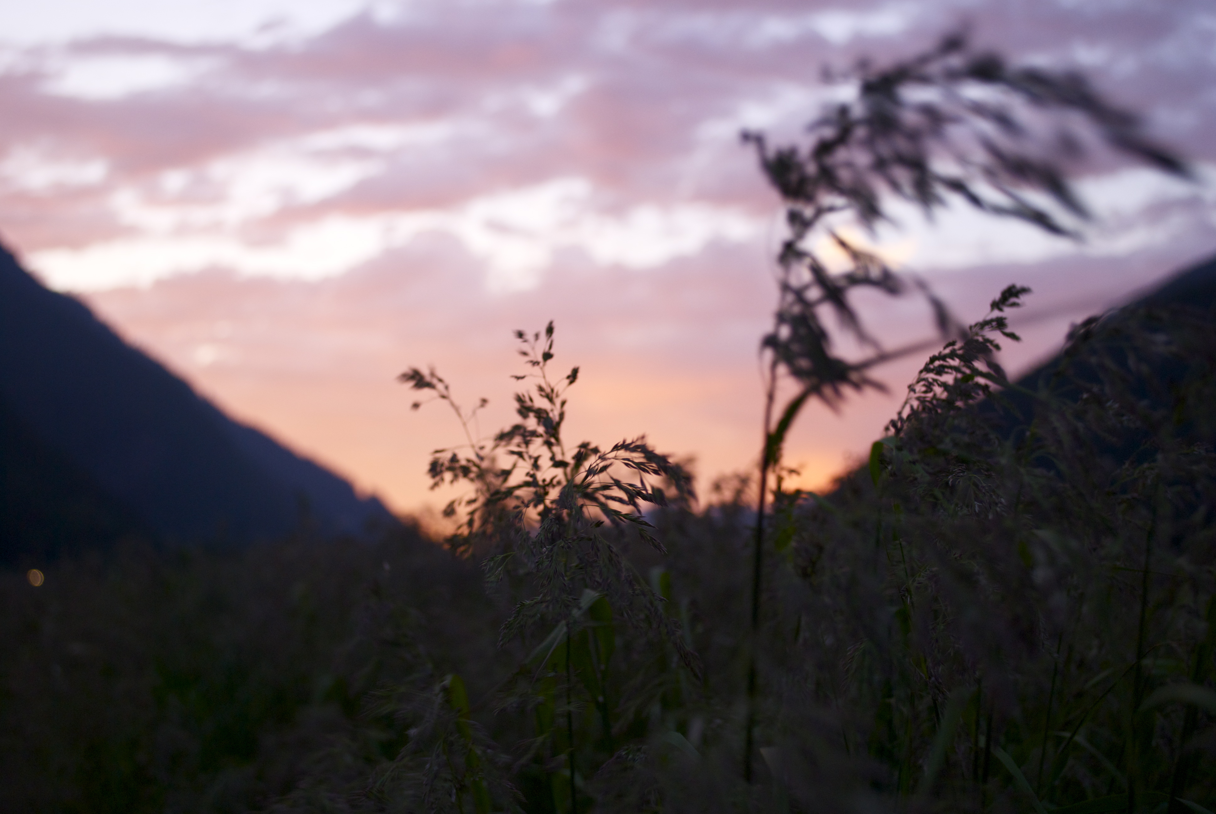
caught in the wind
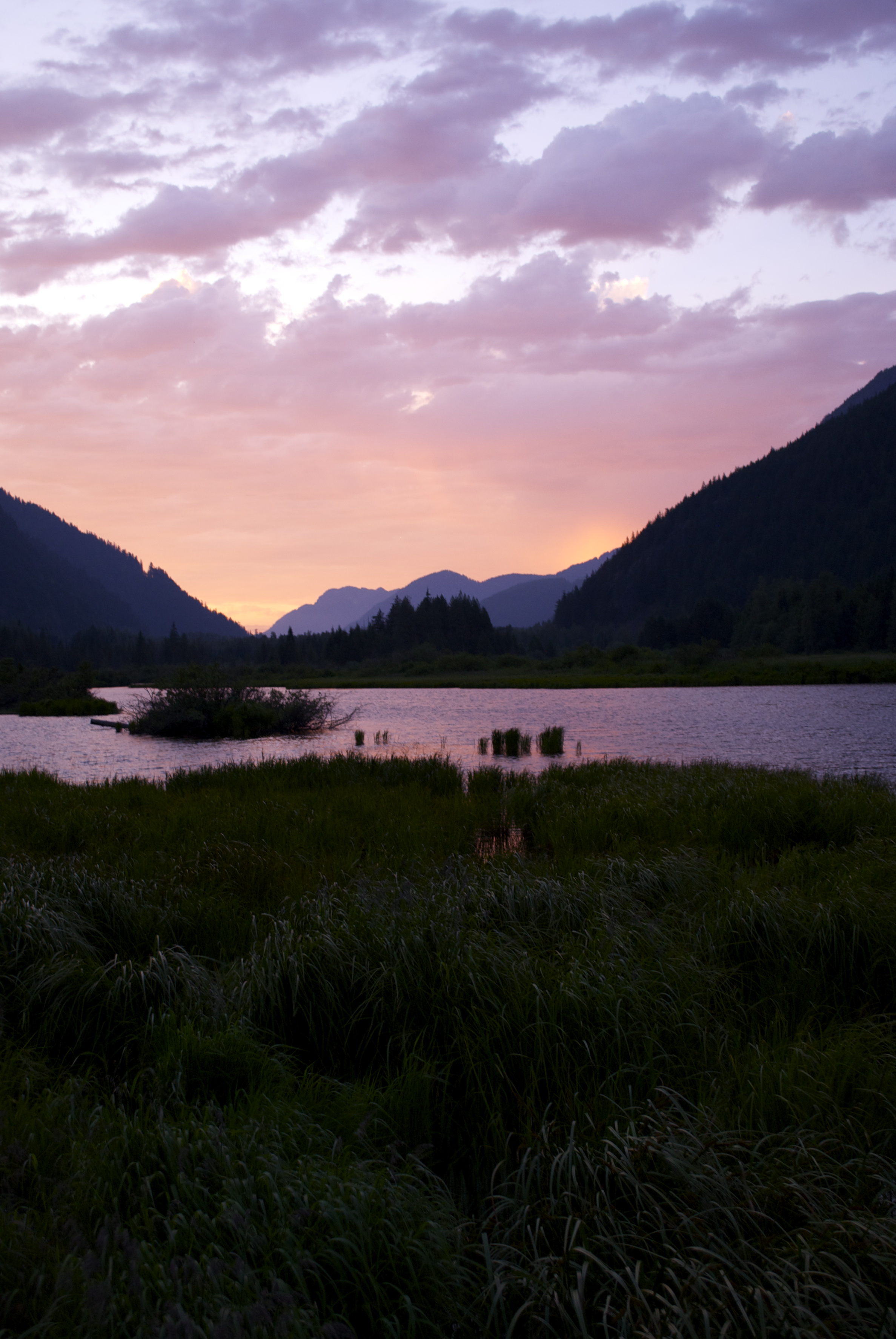
sunset reflection
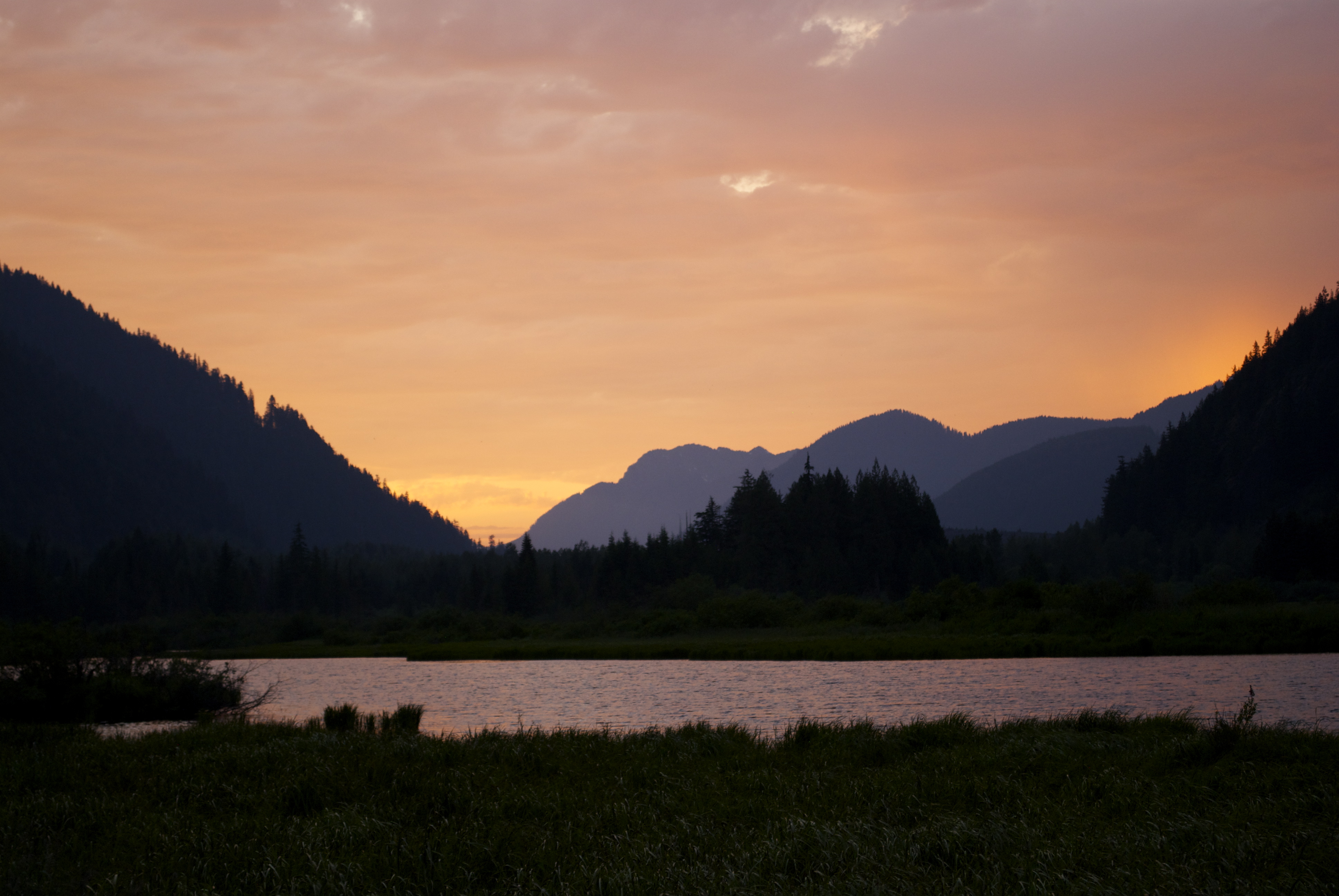
sunset reflection 2
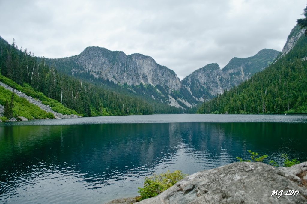
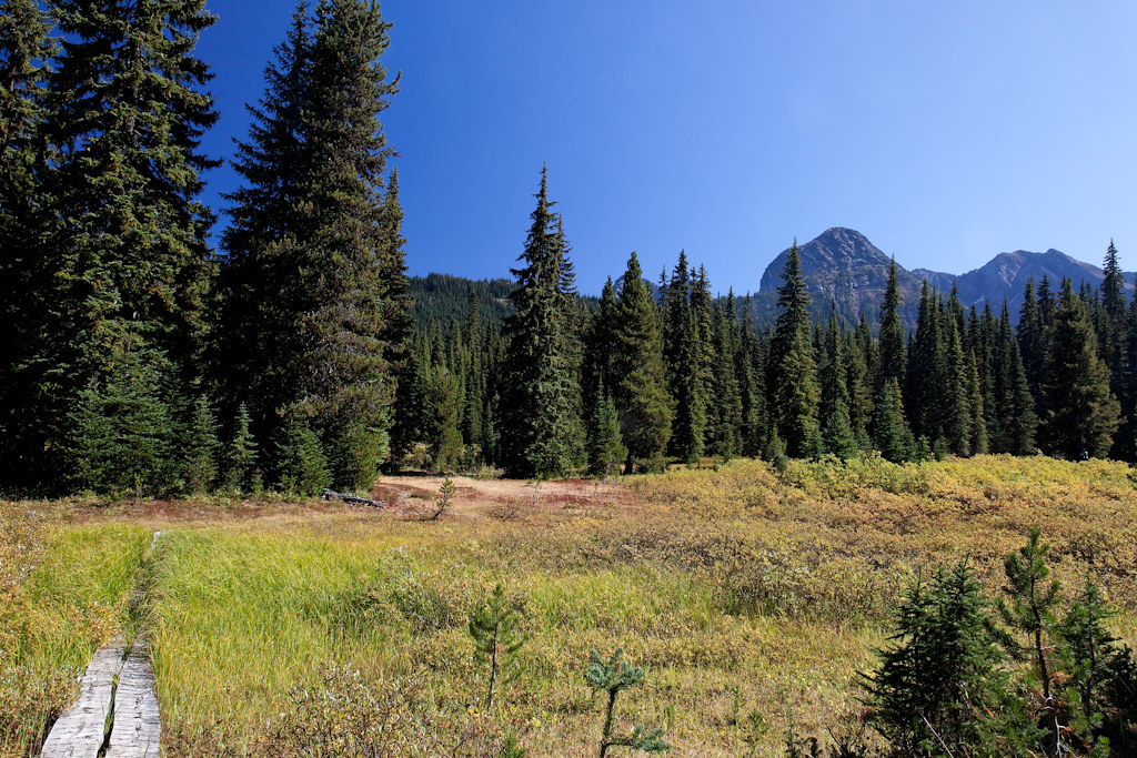
Eaton Lake View
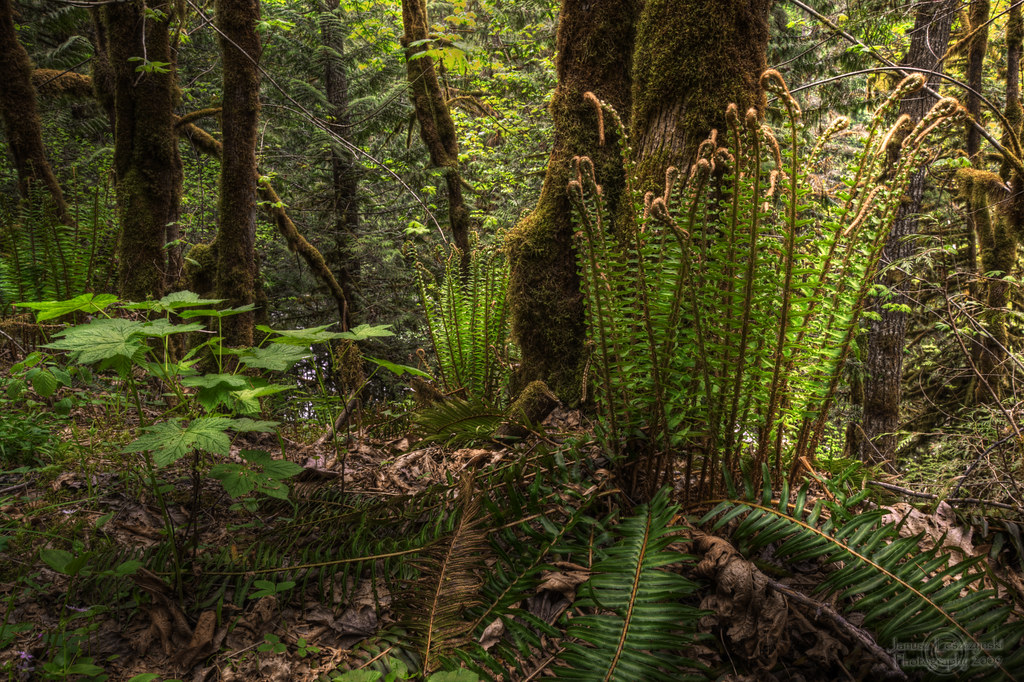
Wonders of our rain forest

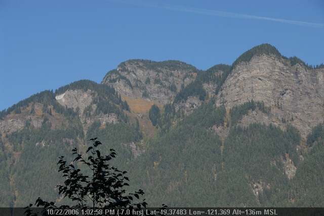
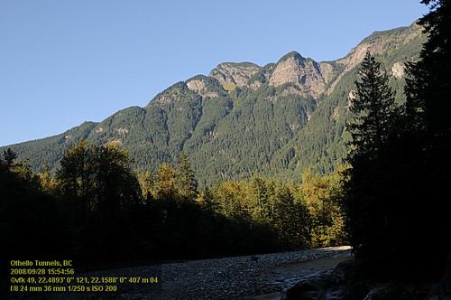
View From Saddle beside Mt Snass
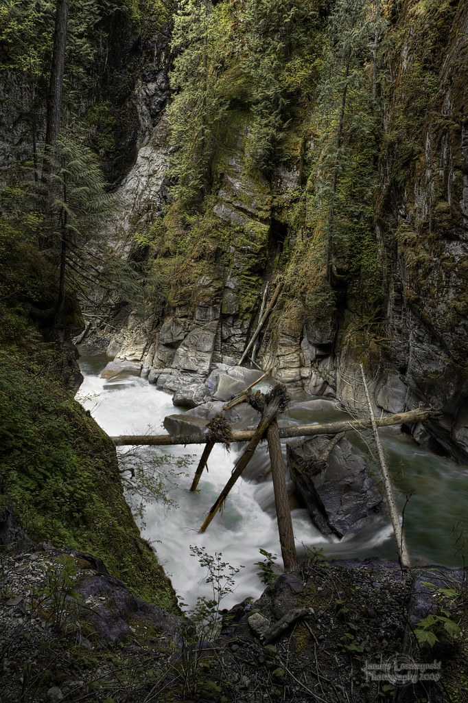
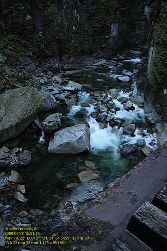
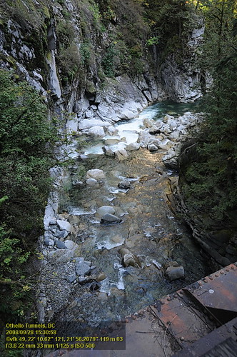
Coquihalla River
OthelloTunnels (67).JPG
OthelloTunnels (66).JPG
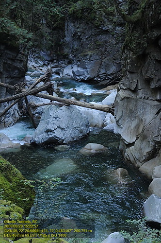
Othello Tunnels VF2_8754.JPG
Othello Tunnels VF2_8744.JPG
Othello Tunnels VF2_8798.JPG

Roadside view
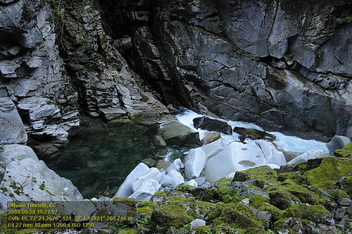
Othello Tunnels VF2_8742.JPG
Othello Tunnels VF2_8753.JPG
Othello Tunnels VF2_8774.JPG
Othello Tunnels VF2_8776.JPG
Othello Tunnels VF2_8716.JPG
Snass View Camp

OthelloTunnels (68).JPG
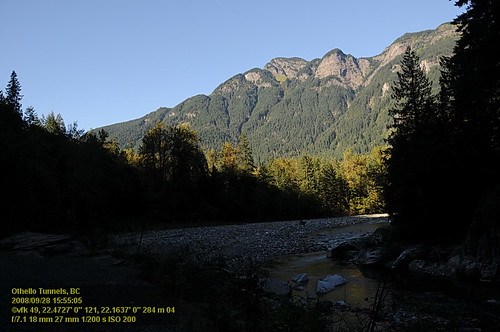
Othello Tunnels VF2_8799.JPG

Othello Tunnels VF2_8786.JPG

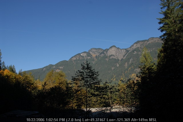
Views from the Whatcom Trail
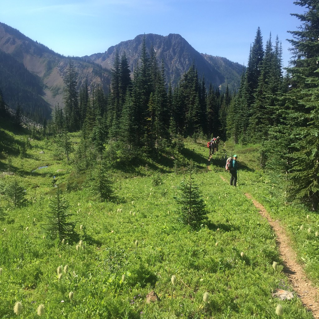
2015 Day 186 - Heading Towards Punchbowl Lake
Mapa de Mount Manson, Fraser Valley B, BC V0X, Canadá
Buscar otro lugar
Lugares cercanos
Mount Hatfield, Fraser Valley B, BC V0X, Canadá
Mount Outram, Fraser Valley B, BC V0X, Canadá
Johnson Peak, Fraser Valley B, BC V0X, Canadá
MacLeod Peak, Fraser Valley B, BC V0X, Canadá
Fraser Valley B, BC, Canadá
Sunshine Valley RV Resort & Cabins, Alpine Blvd, Hope, BC V0X 1L5, Canadá
Sunshine Valley, BC V0X, Canadá
Parkhill Boulevard, Parkhill Blvd, Hope, BC V0X 1L5, Canadá
Parkview Avenue, Parkview Ave, Hope, BC V0X 1L5, Canadá
Mount Davis, Okanagan-Similkameen H, BC V0X, Canadá
Tulameen Mountain, Fraser Valley B, BC V0X, Canadá
Mount Potter, Fraser Valley B, BC V0X, Canadá
Mount Ford, Fraser Valley B, BC V0X, Canadá
Mount Snider, Fraser Valley B, BC V0X, Canadá
Mount Dewdney, Fraser Valley B, BC V0X, Canadá
Mount Coulter, Fraser Valley B, BC V0X, Canadá
Battleford Peak, Okanagan-Similkameen H, BC V0X, Canadá
Mount Sutter, Okanagan-Similkameen H, BC V0X, Canadá
Siwash Creek Road, Siwash Creek Rd, Fraser Valley B, BC V0X, Canadá
Snass Mountain, Fraser Valley B, BC V0X, Canadá
Búsquedas recientes
- Horas de salida y puesta de sol de Co Rd 87, Jamestown, CO, USA
- Horas de salida y puesta de sol de Tenjo, Cundinamarca, Colombia
- Horas de salida y puesta de sol de -1 Gosho, Ichihara, Chiba -, Japan
- Horas de salida y puesta de sol de -, Japón
- Horas de salida y puesta de sol de Spaceport America, Co Rd A, Truth or Consequences, NM, USA
- Horas de salida y puesta de sol de Warwick, Rhode Island, EE. UU.
- Horas de salida y puesta de sol de Moriyama House, 3-chōme-21-21 Nishikamata, Ota City, Tokyo -, Japón
- Horas de salida y puesta de sol de Diez mil tatamis, Sawasaki, Sado, Niigata -, Japón
- Horas de salida y puesta de sol de W Granada St, Tampa, FL, EE. UU.
- Horas de salida y puesta de sol de Santa María Jalapa del Marqués, Oax., México