Horas de salida y puesta de sol de Mazatzal Peak, Arizona, EE. UU.
Location: Estados Unidos > Arizona > Payson >
Zona horaria:
America/Phoenix
Hora local:
2024-04-29 05:14:08
Longitud:
-111.4615258
Latitud:
34.0625381
Salida de sol de hoy:
05:37:26 AM
Puesta de sol de hoy:
07:08:42 PM
La duración del día hoy:
13h 31m 16s
Salida de sol de mañana:
05:36:25 AM
Puesta de sol de mañana:
07:09:29 PM
La duración del día mañana:
13h 33m 4s
Mostrar todas las fechas
| Fecha | Salida de sol | Puesta de sol | Duración del día |
|---|---|---|---|
| 01/01/2024 | 07:31:29 AM | 05:27:54 PM | 9h 56m 25s |
| 02/01/2024 | 07:31:38 AM | 05:28:40 PM | 9h 57m 2s |
| 03/01/2024 | 07:31:46 AM | 05:29:27 PM | 9h 57m 41s |
| 04/01/2024 | 07:31:52 AM | 05:30:15 PM | 9h 58m 23s |
| 05/01/2024 | 07:31:56 AM | 05:31:04 PM | 9h 59m 8s |
| 06/01/2024 | 07:31:59 AM | 05:31:54 PM | 9h 59m 55s |
| 07/01/2024 | 07:31:59 AM | 05:32:45 PM | 10h 0m 46s |
| 08/01/2024 | 07:31:57 AM | 05:33:37 PM | 10h 1m 40s |
| 09/01/2024 | 07:31:54 AM | 05:34:30 PM | 10h 2m 36s |
| 10/01/2024 | 07:31:49 AM | 05:35:23 PM | 10h 3m 34s |
| 11/01/2024 | 07:31:42 AM | 05:36:17 PM | 10h 4m 35s |
| 12/01/2024 | 07:31:33 AM | 05:37:12 PM | 10h 5m 39s |
| 13/01/2024 | 07:31:22 AM | 05:38:07 PM | 10h 6m 45s |
| 14/01/2024 | 07:31:09 AM | 05:39:03 PM | 10h 7m 54s |
| 15/01/2024 | 07:30:55 AM | 05:39:59 PM | 10h 9m 4s |
| 16/01/2024 | 07:30:39 AM | 05:40:56 PM | 10h 10m 17s |
| 17/01/2024 | 07:30:20 AM | 05:41:54 PM | 10h 11m 34s |
| 18/01/2024 | 07:30:00 AM | 05:42:51 PM | 10h 12m 51s |
| 19/01/2024 | 07:29:39 AM | 05:43:49 PM | 10h 14m 10s |
| 20/01/2024 | 07:29:15 AM | 05:44:47 PM | 10h 15m 32s |
| 21/01/2024 | 07:28:50 AM | 05:45:46 PM | 10h 16m 56s |
| 22/01/2024 | 07:28:23 AM | 05:46:45 PM | 10h 18m 22s |
| 23/01/2024 | 07:27:54 AM | 05:47:44 PM | 10h 19m 50s |
| 24/01/2024 | 07:27:23 AM | 05:48:43 PM | 10h 21m 20s |
| 25/01/2024 | 07:26:51 AM | 05:49:42 PM | 10h 22m 51s |
| 26/01/2024 | 07:26:17 AM | 05:50:41 PM | 10h 24m 24s |
| 27/01/2024 | 07:25:41 AM | 05:51:41 PM | 10h 26m 0s |
| 28/01/2024 | 07:25:04 AM | 05:52:40 PM | 10h 27m 36s |
| 29/01/2024 | 07:24:25 AM | 05:53:39 PM | 10h 29m 14s |
| 30/01/2024 | 07:23:45 AM | 05:54:39 PM | 10h 30m 54s |
| 31/01/2024 | 07:23:03 AM | 05:55:38 PM | 10h 32m 35s |
| 01/02/2024 | 07:22:20 AM | 05:56:37 PM | 10h 34m 17s |
| 02/02/2024 | 07:21:34 AM | 05:57:36 PM | 10h 36m 2s |
| 03/02/2024 | 07:20:48 AM | 05:58:35 PM | 10h 37m 47s |
| 04/02/2024 | 07:20:00 AM | 05:59:34 PM | 10h 39m 34s |
| 05/02/2024 | 07:19:11 AM | 06:00:32 PM | 10h 41m 21s |
| 06/02/2024 | 07:18:20 AM | 06:01:30 PM | 10h 43m 10s |
| 07/02/2024 | 07:17:28 AM | 06:02:28 PM | 10h 45m 0s |
| 08/02/2024 | 07:16:34 AM | 06:03:26 PM | 10h 46m 52s |
| 09/02/2024 | 07:15:39 AM | 06:04:24 PM | 10h 48m 45s |
| 10/02/2024 | 07:14:43 AM | 06:05:21 PM | 10h 50m 38s |
| 11/02/2024 | 07:13:46 AM | 06:06:18 PM | 10h 52m 32s |
| 12/02/2024 | 07:12:48 AM | 06:07:15 PM | 10h 54m 27s |
| 13/02/2024 | 07:11:48 AM | 06:08:11 PM | 10h 56m 23s |
| 14/02/2024 | 07:10:47 AM | 06:09:07 PM | 10h 58m 20s |
| 15/02/2024 | 07:09:45 AM | 06:10:03 PM | 11h 0m 18s |
| 16/02/2024 | 07:08:42 AM | 06:10:58 PM | 11h 2m 16s |
| 17/02/2024 | 07:07:38 AM | 06:11:53 PM | 11h 4m 15s |
| 18/02/2024 | 07:06:33 AM | 06:12:48 PM | 11h 6m 15s |
| 19/02/2024 | 07:05:26 AM | 06:13:42 PM | 11h 8m 16s |
| 20/02/2024 | 07:04:19 AM | 06:14:37 PM | 11h 10m 18s |
| 21/02/2024 | 07:03:11 AM | 06:15:30 PM | 11h 12m 19s |
| 22/02/2024 | 07:02:02 AM | 06:16:24 PM | 11h 14m 22s |
| 23/02/2024 | 07:00:52 AM | 06:17:17 PM | 11h 16m 25s |
| 24/02/2024 | 06:59:41 AM | 06:18:09 PM | 11h 18m 28s |
| 25/02/2024 | 06:58:30 AM | 06:19:02 PM | 11h 20m 32s |
| 26/02/2024 | 06:57:18 AM | 06:19:54 PM | 11h 22m 36s |
| 27/02/2024 | 06:56:04 AM | 06:20:45 PM | 11h 24m 41s |
| 28/02/2024 | 06:54:51 AM | 06:21:37 PM | 11h 26m 46s |
| 29/02/2024 | 06:53:36 AM | 06:22:28 PM | 11h 28m 52s |
| 01/03/2024 | 06:52:21 AM | 06:23:18 PM | 11h 30m 57s |
| 02/03/2024 | 06:51:05 AM | 06:24:09 PM | 11h 33m 4s |
| 03/03/2024 | 06:49:49 AM | 06:24:59 PM | 11h 35m 10s |
| 04/03/2024 | 06:48:32 AM | 06:25:48 PM | 11h 37m 16s |
| 05/03/2024 | 06:47:14 AM | 06:26:38 PM | 11h 39m 24s |
| 06/03/2024 | 06:45:56 AM | 06:27:27 PM | 11h 41m 31s |
| 07/03/2024 | 06:44:38 AM | 06:28:16 PM | 11h 43m 38s |
| 08/03/2024 | 06:43:19 AM | 06:29:04 PM | 11h 45m 45s |
| 09/03/2024 | 06:42:00 AM | 06:29:53 PM | 11h 47m 53s |
| 10/03/2024 | 06:40:40 AM | 06:30:41 PM | 11h 50m 1s |
| 11/03/2024 | 06:39:20 AM | 06:31:29 PM | 11h 52m 9s |
| 12/03/2024 | 06:37:59 AM | 06:32:16 PM | 11h 54m 17s |
| 13/03/2024 | 06:36:39 AM | 06:33:04 PM | 11h 56m 25s |
| 14/03/2024 | 06:35:18 AM | 06:33:51 PM | 11h 58m 33s |
| 15/03/2024 | 06:33:57 AM | 06:34:38 PM | 12h 0m 41s |
| 16/03/2024 | 06:32:35 AM | 06:35:25 PM | 12h 2m 50s |
| 17/03/2024 | 06:31:14 AM | 06:36:12 PM | 12h 4m 58s |
| 18/03/2024 | 06:29:52 AM | 06:36:58 PM | 12h 7m 6s |
| 19/03/2024 | 06:28:30 AM | 06:37:45 PM | 12h 9m 15s |
| 20/03/2024 | 06:27:08 AM | 06:38:31 PM | 12h 11m 23s |
| 21/03/2024 | 06:25:46 AM | 06:39:17 PM | 12h 13m 31s |
| 22/03/2024 | 06:24:24 AM | 06:40:03 PM | 12h 15m 39s |
| 23/03/2024 | 06:23:02 AM | 06:40:49 PM | 12h 17m 47s |
| 24/03/2024 | 06:21:40 AM | 06:41:35 PM | 12h 19m 55s |
| 25/03/2024 | 06:20:18 AM | 06:42:20 PM | 12h 22m 2s |
| 26/03/2024 | 06:18:56 AM | 06:43:06 PM | 12h 24m 10s |
| 27/03/2024 | 06:17:34 AM | 06:43:52 PM | 12h 26m 18s |
| 28/03/2024 | 06:16:13 AM | 06:44:37 PM | 12h 28m 24s |
| 29/03/2024 | 06:14:51 AM | 06:45:23 PM | 12h 30m 32s |
| 30/03/2024 | 06:13:30 AM | 06:46:08 PM | 12h 32m 38s |
| 31/03/2024 | 06:12:09 AM | 06:46:54 PM | 12h 34m 45s |
| 01/04/2024 | 06:10:48 AM | 06:47:39 PM | 12h 36m 51s |
| 02/04/2024 | 06:09:28 AM | 06:48:25 PM | 12h 38m 57s |
| 03/04/2024 | 06:08:08 AM | 06:49:10 PM | 12h 41m 2s |
| 04/04/2024 | 06:06:48 AM | 06:49:56 PM | 12h 43m 8s |
| 05/04/2024 | 06:05:28 AM | 06:50:41 PM | 12h 45m 13s |
| 06/04/2024 | 06:04:09 AM | 06:51:27 PM | 12h 47m 18s |
| 07/04/2024 | 06:02:51 AM | 06:52:12 PM | 12h 49m 21s |
| 08/04/2024 | 06:01:33 AM | 06:52:58 PM | 12h 51m 25s |
| 09/04/2024 | 06:00:15 AM | 06:53:44 PM | 12h 53m 29s |
| 10/04/2024 | 05:58:58 AM | 06:54:29 PM | 12h 55m 31s |
| 11/04/2024 | 05:57:41 AM | 06:55:15 PM | 12h 57m 34s |
| 12/04/2024 | 05:56:25 AM | 06:56:01 PM | 12h 59m 36s |
| 13/04/2024 | 05:55:10 AM | 06:56:47 PM | 13h 1m 37s |
| 14/04/2024 | 05:53:55 AM | 06:57:33 PM | 13h 3m 38s |
| 15/04/2024 | 05:52:41 AM | 06:58:19 PM | 13h 5m 38s |
| 16/04/2024 | 05:51:27 AM | 06:59:05 PM | 13h 7m 38s |
| 17/04/2024 | 05:50:15 AM | 06:59:52 PM | 13h 9m 37s |
| 18/04/2024 | 05:49:03 AM | 07:00:38 PM | 13h 11m 35s |
| 19/04/2024 | 05:47:51 AM | 07:01:24 PM | 13h 13m 33s |
| 20/04/2024 | 05:46:41 AM | 07:02:11 PM | 13h 15m 30s |
| 21/04/2024 | 05:45:31 AM | 07:02:57 PM | 13h 17m 26s |
| 22/04/2024 | 05:44:23 AM | 07:03:44 PM | 13h 19m 21s |
| 23/04/2024 | 05:43:15 AM | 07:04:30 PM | 13h 21m 15s |
| 24/04/2024 | 05:42:08 AM | 07:05:17 PM | 13h 23m 9s |
| 25/04/2024 | 05:41:02 AM | 07:06:04 PM | 13h 25m 2s |
| 26/04/2024 | 05:39:57 AM | 07:06:51 PM | 13h 26m 54s |
| 27/04/2024 | 05:38:53 AM | 07:07:38 PM | 13h 28m 45s |
| 28/04/2024 | 05:37:50 AM | 07:08:24 PM | 13h 30m 34s |
| 29/04/2024 | 05:36:48 AM | 07:09:11 PM | 13h 32m 23s |
| 30/04/2024 | 05:35:47 AM | 07:09:58 PM | 13h 34m 11s |
| 01/05/2024 | 05:34:47 AM | 07:10:45 PM | 13h 35m 58s |
| 02/05/2024 | 05:33:48 AM | 07:11:32 PM | 13h 37m 44s |
| 03/05/2024 | 05:32:51 AM | 07:12:18 PM | 13h 39m 27s |
| 04/05/2024 | 05:31:54 AM | 07:13:05 PM | 13h 41m 11s |
| 05/05/2024 | 05:30:59 AM | 07:13:52 PM | 13h 42m 53s |
| 06/05/2024 | 05:30:05 AM | 07:14:38 PM | 13h 44m 33s |
| 07/05/2024 | 05:29:12 AM | 07:15:25 PM | 13h 46m 13s |
| 08/05/2024 | 05:28:21 AM | 07:16:11 PM | 13h 47m 50s |
| 09/05/2024 | 05:27:31 AM | 07:16:57 PM | 13h 49m 26s |
| 10/05/2024 | 05:26:42 AM | 07:17:43 PM | 13h 51m 1s |
| 11/05/2024 | 05:25:55 AM | 07:18:29 PM | 13h 52m 34s |
| 12/05/2024 | 05:25:08 AM | 07:19:15 PM | 13h 54m 7s |
| 13/05/2024 | 05:24:24 AM | 07:20:00 PM | 13h 55m 36s |
| 14/05/2024 | 05:23:40 AM | 07:20:45 PM | 13h 57m 5s |
| 15/05/2024 | 05:22:58 AM | 07:21:30 PM | 13h 58m 32s |
| 16/05/2024 | 05:22:18 AM | 07:22:14 PM | 13h 59m 56s |
| 17/05/2024 | 05:21:39 AM | 07:22:58 PM | 14h 1m 19s |
| 18/05/2024 | 05:21:01 AM | 07:23:42 PM | 14h 2m 41s |
| 19/05/2024 | 05:20:25 AM | 07:24:25 PM | 14h 4m 0s |
| 20/05/2024 | 05:19:51 AM | 07:25:08 PM | 14h 5m 17s |
| 21/05/2024 | 05:19:18 AM | 07:25:51 PM | 14h 6m 33s |
| 22/05/2024 | 05:18:46 AM | 07:26:33 PM | 14h 7m 47s |
| 23/05/2024 | 05:18:16 AM | 07:27:14 PM | 14h 8m 58s |
| 24/05/2024 | 05:17:48 AM | 07:27:55 PM | 14h 10m 7s |
| 25/05/2024 | 05:17:21 AM | 07:28:35 PM | 14h 11m 14s |
| 26/05/2024 | 05:16:56 AM | 07:29:15 PM | 14h 12m 19s |
| 27/05/2024 | 05:16:32 AM | 07:29:54 PM | 14h 13m 22s |
| 28/05/2024 | 05:16:10 AM | 07:30:32 PM | 14h 14m 22s |
| 29/05/2024 | 05:15:49 AM | 07:31:09 PM | 14h 15m 20s |
| 30/05/2024 | 05:15:31 AM | 07:31:46 PM | 14h 16m 15s |
| 31/05/2024 | 05:15:13 AM | 07:32:22 PM | 14h 17m 9s |
| 01/06/2024 | 05:14:58 AM | 07:32:57 PM | 14h 17m 59s |
| 02/06/2024 | 05:14:43 AM | 07:33:31 PM | 14h 18m 48s |
| 03/06/2024 | 05:14:31 AM | 07:34:04 PM | 14h 19m 33s |
| 04/06/2024 | 05:14:20 AM | 07:34:37 PM | 14h 20m 17s |
| 05/06/2024 | 05:14:11 AM | 07:35:08 PM | 14h 20m 57s |
| 06/06/2024 | 05:14:03 AM | 07:35:38 PM | 14h 21m 35s |
| 07/06/2024 | 05:13:57 AM | 07:36:07 PM | 14h 22m 10s |
| 08/06/2024 | 05:13:53 AM | 07:36:36 PM | 14h 22m 43s |
| 09/06/2024 | 05:13:50 AM | 07:37:03 PM | 14h 23m 13s |
| 10/06/2024 | 05:13:48 AM | 07:37:29 PM | 14h 23m 41s |
| 11/06/2024 | 05:13:48 AM | 07:37:53 PM | 14h 24m 5s |
| 12/06/2024 | 05:13:50 AM | 07:38:17 PM | 14h 24m 27s |
| 13/06/2024 | 05:13:53 AM | 07:38:39 PM | 14h 24m 46s |
| 14/06/2024 | 05:13:58 AM | 07:39:00 PM | 14h 25m 2s |
| 15/06/2024 | 05:14:04 AM | 07:39:20 PM | 14h 25m 16s |
| 16/06/2024 | 05:14:12 AM | 07:39:38 PM | 14h 25m 26s |
| 17/06/2024 | 05:14:21 AM | 07:39:55 PM | 14h 25m 34s |
| 18/06/2024 | 05:14:32 AM | 07:40:10 PM | 14h 25m 38s |
| 19/06/2024 | 05:14:44 AM | 07:40:25 PM | 14h 25m 41s |
| 20/06/2024 | 05:14:57 AM | 07:40:37 PM | 14h 25m 40s |
| 21/06/2024 | 05:15:12 AM | 07:40:49 PM | 14h 25m 37s |
| 22/06/2024 | 05:15:28 AM | 07:40:58 PM | 14h 25m 30s |
| 23/06/2024 | 05:15:46 AM | 07:41:07 PM | 14h 25m 21s |
| 24/06/2024 | 05:16:04 AM | 07:41:13 PM | 14h 25m 9s |
| 25/06/2024 | 05:16:24 AM | 07:41:19 PM | 14h 24m 55s |
| 26/06/2024 | 05:16:45 AM | 07:41:22 PM | 14h 24m 37s |
| 27/06/2024 | 05:17:08 AM | 07:41:24 PM | 14h 24m 16s |
| 28/06/2024 | 05:17:31 AM | 07:41:25 PM | 14h 23m 54s |
| 29/06/2024 | 05:17:56 AM | 07:41:24 PM | 14h 23m 28s |
| 30/06/2024 | 05:18:22 AM | 07:41:21 PM | 14h 22m 59s |
| 01/07/2024 | 05:18:49 AM | 07:41:17 PM | 14h 22m 28s |
| 02/07/2024 | 05:19:16 AM | 07:41:11 PM | 14h 21m 55s |
| 03/07/2024 | 05:19:45 AM | 07:41:03 PM | 14h 21m 18s |
| 04/07/2024 | 05:20:15 AM | 07:40:54 PM | 14h 20m 39s |
| 05/07/2024 | 05:20:46 AM | 07:40:43 PM | 14h 19m 57s |
| 06/07/2024 | 05:21:17 AM | 07:40:30 PM | 14h 19m 13s |
| 07/07/2024 | 05:21:50 AM | 07:40:16 PM | 14h 18m 26s |
| 08/07/2024 | 05:22:23 AM | 07:40:00 PM | 14h 17m 37s |
| 09/07/2024 | 05:22:57 AM | 07:39:43 PM | 14h 16m 46s |
| 10/07/2024 | 05:23:32 AM | 07:39:24 PM | 14h 15m 52s |
| 11/07/2024 | 05:24:08 AM | 07:39:03 PM | 14h 14m 55s |
| 12/07/2024 | 05:24:44 AM | 07:38:41 PM | 14h 13m 57s |
| 13/07/2024 | 05:25:21 AM | 07:38:17 PM | 14h 12m 56s |
| 14/07/2024 | 05:25:58 AM | 07:37:51 PM | 14h 11m 53s |
| 15/07/2024 | 05:26:36 AM | 07:37:24 PM | 14h 10m 48s |
| 16/07/2024 | 05:27:15 AM | 07:36:55 PM | 14h 9m 40s |
| 17/07/2024 | 05:27:54 AM | 07:36:24 PM | 14h 8m 30s |
| 18/07/2024 | 05:28:34 AM | 07:35:52 PM | 14h 7m 18s |
| 19/07/2024 | 05:29:14 AM | 07:35:19 PM | 14h 6m 5s |
| 20/07/2024 | 05:29:54 AM | 07:34:44 PM | 14h 4m 50s |
| 21/07/2024 | 05:30:35 AM | 07:34:07 PM | 14h 3m 32s |
| 22/07/2024 | 05:31:16 AM | 07:33:29 PM | 14h 2m 13s |
| 23/07/2024 | 05:31:58 AM | 07:32:49 PM | 14h 0m 51s |
| 24/07/2024 | 05:32:40 AM | 07:32:08 PM | 13h 59m 28s |
| 25/07/2024 | 05:33:22 AM | 07:31:25 PM | 13h 58m 3s |
| 26/07/2024 | 05:34:04 AM | 07:30:41 PM | 13h 56m 37s |
| 27/07/2024 | 05:34:47 AM | 07:29:56 PM | 13h 55m 9s |
| 28/07/2024 | 05:35:30 AM | 07:29:09 PM | 13h 53m 39s |
| 29/07/2024 | 05:36:13 AM | 07:28:20 PM | 13h 52m 7s |
| 30/07/2024 | 05:36:56 AM | 07:27:31 PM | 13h 50m 35s |
| 31/07/2024 | 05:37:39 AM | 07:26:40 PM | 13h 49m 1s |
| 01/08/2024 | 05:38:23 AM | 07:25:47 PM | 13h 47m 24s |
| 02/08/2024 | 05:39:06 AM | 07:24:54 PM | 13h 45m 48s |
| 03/08/2024 | 05:39:50 AM | 07:23:59 PM | 13h 44m 9s |
| 04/08/2024 | 05:40:33 AM | 07:23:03 PM | 13h 42m 30s |
| 05/08/2024 | 05:41:17 AM | 07:22:05 PM | 13h 40m 48s |
| 06/08/2024 | 05:42:00 AM | 07:21:07 PM | 13h 39m 7s |
| 07/08/2024 | 05:42:44 AM | 07:20:07 PM | 13h 37m 23s |
| 08/08/2024 | 05:43:28 AM | 07:19:06 PM | 13h 35m 38s |
| 09/08/2024 | 05:44:11 AM | 07:18:04 PM | 13h 33m 53s |
| 10/08/2024 | 05:44:55 AM | 07:17:01 PM | 13h 32m 6s |
| 11/08/2024 | 05:45:38 AM | 07:15:56 PM | 13h 30m 18s |
| 12/08/2024 | 05:46:22 AM | 07:14:51 PM | 13h 28m 29s |
| 13/08/2024 | 05:47:05 AM | 07:13:45 PM | 13h 26m 40s |
| 14/08/2024 | 05:47:48 AM | 07:12:38 PM | 13h 24m 50s |
| 15/08/2024 | 05:48:32 AM | 07:11:29 PM | 13h 22m 57s |
| 16/08/2024 | 05:49:15 AM | 07:10:20 PM | 13h 21m 5s |
| 17/08/2024 | 05:49:58 AM | 07:09:10 PM | 13h 19m 12s |
| 18/08/2024 | 05:50:41 AM | 07:07:59 PM | 13h 17m 18s |
| 19/08/2024 | 05:51:23 AM | 07:06:47 PM | 13h 15m 24s |
| 20/08/2024 | 05:52:06 AM | 07:05:35 PM | 13h 13m 29s |
| 21/08/2024 | 05:52:49 AM | 07:04:21 PM | 13h 11m 32s |
| 22/08/2024 | 05:53:31 AM | 07:03:07 PM | 13h 9m 36s |
| 23/08/2024 | 05:54:14 AM | 07:01:52 PM | 13h 7m 38s |
| 24/08/2024 | 05:54:56 AM | 07:00:36 PM | 13h 5m 40s |
| 25/08/2024 | 05:55:38 AM | 06:59:20 PM | 13h 3m 42s |
| 26/08/2024 | 05:56:20 AM | 06:58:03 PM | 13h 1m 43s |
| 27/08/2024 | 05:57:02 AM | 06:56:45 PM | 12h 59m 43s |
| 28/08/2024 | 05:57:44 AM | 06:55:27 PM | 12h 57m 43s |
| 29/08/2024 | 05:58:26 AM | 06:54:08 PM | 12h 55m 42s |
| 30/08/2024 | 05:59:08 AM | 06:52:49 PM | 12h 53m 41s |
| 31/08/2024 | 05:59:49 AM | 06:51:29 PM | 12h 51m 40s |
| 01/09/2024 | 06:00:31 AM | 06:50:09 PM | 12h 49m 38s |
| 02/09/2024 | 06:01:12 AM | 06:48:48 PM | 12h 47m 36s |
| 03/09/2024 | 06:01:54 AM | 06:47:26 PM | 12h 45m 32s |
| 04/09/2024 | 06:02:35 AM | 06:46:05 PM | 12h 43m 30s |
| 05/09/2024 | 06:03:17 AM | 06:44:43 PM | 12h 41m 26s |
| 06/09/2024 | 06:03:58 AM | 06:43:20 PM | 12h 39m 22s |
| 07/09/2024 | 06:04:39 AM | 06:41:58 PM | 12h 37m 19s |
| 08/09/2024 | 06:05:20 AM | 06:40:35 PM | 12h 35m 15s |
| 09/09/2024 | 06:06:02 AM | 06:39:11 PM | 12h 33m 9s |
| 10/09/2024 | 06:06:43 AM | 06:37:48 PM | 12h 31m 5s |
| 11/09/2024 | 06:07:24 AM | 06:36:24 PM | 12h 29m 0s |
| 12/09/2024 | 06:08:05 AM | 06:35:00 PM | 12h 26m 55s |
| 13/09/2024 | 06:08:47 AM | 06:33:36 PM | 12h 24m 49s |
| 14/09/2024 | 06:09:28 AM | 06:32:12 PM | 12h 22m 44s |
| 15/09/2024 | 06:10:09 AM | 06:30:47 PM | 12h 20m 38s |
| 16/09/2024 | 06:10:51 AM | 06:29:23 PM | 12h 18m 32s |
| 17/09/2024 | 06:11:32 AM | 06:27:59 PM | 12h 16m 27s |
| 18/09/2024 | 06:12:14 AM | 06:26:34 PM | 12h 14m 20s |
| 19/09/2024 | 06:12:56 AM | 06:25:10 PM | 12h 12m 14s |
| 20/09/2024 | 06:13:38 AM | 06:23:46 PM | 12h 10m 8s |
| 21/09/2024 | 06:14:20 AM | 06:22:21 PM | 12h 8m 1s |
| 22/09/2024 | 06:15:02 AM | 06:20:57 PM | 12h 5m 55s |
| 23/09/2024 | 06:15:44 AM | 06:19:33 PM | 12h 3m 49s |
| 24/09/2024 | 06:16:26 AM | 06:18:09 PM | 12h 1m 43s |
| 25/09/2024 | 06:17:09 AM | 06:16:46 PM | 11h 59m 37s |
| 26/09/2024 | 06:17:52 AM | 06:15:22 PM | 11h 57m 30s |
| 27/09/2024 | 06:18:35 AM | 06:13:59 PM | 11h 55m 24s |
| 28/09/2024 | 06:19:18 AM | 06:12:36 PM | 11h 53m 18s |
| 29/09/2024 | 06:20:01 AM | 06:11:13 PM | 11h 51m 12s |
| 30/09/2024 | 06:20:45 AM | 06:09:51 PM | 11h 49m 6s |
| 01/10/2024 | 06:21:29 AM | 06:08:29 PM | 11h 47m 0s |
| 02/10/2024 | 06:22:13 AM | 06:07:08 PM | 11h 44m 55s |
| 03/10/2024 | 06:22:58 AM | 06:05:46 PM | 11h 42m 48s |
| 04/10/2024 | 06:23:42 AM | 06:04:26 PM | 11h 40m 44s |
| 05/10/2024 | 06:24:27 AM | 06:03:06 PM | 11h 38m 39s |
| 06/10/2024 | 06:25:13 AM | 06:01:46 PM | 11h 36m 33s |
| 07/10/2024 | 06:25:58 AM | 06:00:27 PM | 11h 34m 29s |
| 08/10/2024 | 06:26:44 AM | 05:59:08 PM | 11h 32m 24s |
| 09/10/2024 | 06:27:31 AM | 05:57:50 PM | 11h 30m 19s |
| 10/10/2024 | 06:28:17 AM | 05:56:33 PM | 11h 28m 16s |
| 11/10/2024 | 06:29:04 AM | 05:55:16 PM | 11h 26m 12s |
| 12/10/2024 | 06:29:51 AM | 05:54:00 PM | 11h 24m 9s |
| 13/10/2024 | 06:30:39 AM | 05:52:45 PM | 11h 22m 6s |
| 14/10/2024 | 06:31:27 AM | 05:51:31 PM | 11h 20m 4s |
| 15/10/2024 | 06:32:15 AM | 05:50:17 PM | 11h 18m 2s |
| 16/10/2024 | 06:33:04 AM | 05:49:04 PM | 11h 16m 0s |
| 17/10/2024 | 06:33:53 AM | 05:47:52 PM | 11h 13m 59s |
| 18/10/2024 | 06:34:43 AM | 05:46:41 PM | 11h 11m 58s |
| 19/10/2024 | 06:35:32 AM | 05:45:31 PM | 11h 9m 59s |
| 20/10/2024 | 06:36:23 AM | 05:44:21 PM | 11h 7m 58s |
| 21/10/2024 | 06:37:13 AM | 05:43:13 PM | 11h 6m 0s |
| 22/10/2024 | 06:38:04 AM | 05:42:06 PM | 11h 4m 2s |
| 23/10/2024 | 06:38:55 AM | 05:40:59 PM | 11h 2m 4s |
| 24/10/2024 | 06:39:47 AM | 05:39:54 PM | 11h 0m 7s |
| 25/10/2024 | 06:40:39 AM | 05:38:50 PM | 10h 58m 11s |
| 26/10/2024 | 06:41:32 AM | 05:37:47 PM | 10h 56m 15s |
| 27/10/2024 | 06:42:24 AM | 05:36:45 PM | 10h 54m 21s |
| 28/10/2024 | 06:43:17 AM | 05:35:45 PM | 10h 52m 28s |
| 29/10/2024 | 06:44:11 AM | 05:34:45 PM | 10h 50m 34s |
| 30/10/2024 | 06:45:05 AM | 05:33:47 PM | 10h 48m 42s |
| 31/10/2024 | 06:45:59 AM | 05:32:50 PM | 10h 46m 51s |
| 01/11/2024 | 06:46:53 AM | 05:31:54 PM | 10h 45m 1s |
| 02/11/2024 | 06:47:48 AM | 05:31:00 PM | 10h 43m 12s |
| 03/11/2024 | 06:48:43 AM | 05:30:07 PM | 10h 41m 24s |
| 04/11/2024 | 06:49:38 AM | 05:29:16 PM | 10h 39m 38s |
| 05/11/2024 | 06:50:33 AM | 05:28:26 PM | 10h 37m 53s |
| 06/11/2024 | 06:51:29 AM | 05:27:37 PM | 10h 36m 8s |
| 07/11/2024 | 06:52:25 AM | 05:26:50 PM | 10h 34m 25s |
| 08/11/2024 | 06:53:21 AM | 05:26:04 PM | 10h 32m 43s |
| 09/11/2024 | 06:54:17 AM | 05:25:20 PM | 10h 31m 3s |
| 10/11/2024 | 06:55:14 AM | 05:24:38 PM | 10h 29m 24s |
| 11/11/2024 | 06:56:10 AM | 05:23:57 PM | 10h 27m 47s |
| 12/11/2024 | 06:57:07 AM | 05:23:17 PM | 10h 26m 10s |
| 13/11/2024 | 06:58:03 AM | 05:22:40 PM | 10h 24m 37s |
| 14/11/2024 | 06:59:00 AM | 05:22:04 PM | 10h 23m 4s |
| 15/11/2024 | 06:59:56 AM | 05:21:29 PM | 10h 21m 33s |
| 16/11/2024 | 07:00:53 AM | 05:20:57 PM | 10h 20m 4s |
| 17/11/2024 | 07:01:49 AM | 05:20:26 PM | 10h 18m 37s |
| 18/11/2024 | 07:02:46 AM | 05:19:57 PM | 10h 17m 11s |
| 19/11/2024 | 07:03:42 AM | 05:19:29 PM | 10h 15m 47s |
| 20/11/2024 | 07:04:38 AM | 05:19:04 PM | 10h 14m 26s |
| 21/11/2024 | 07:05:34 AM | 05:18:40 PM | 10h 13m 6s |
| 22/11/2024 | 07:06:29 AM | 05:18:18 PM | 10h 11m 49s |
| 23/11/2024 | 07:07:25 AM | 05:17:58 PM | 10h 10m 33s |
| 24/11/2024 | 07:08:20 AM | 05:17:40 PM | 10h 9m 20s |
| 25/11/2024 | 07:09:14 AM | 05:17:24 PM | 10h 8m 10s |
| 26/11/2024 | 07:10:08 AM | 05:17:09 PM | 10h 7m 1s |
| 27/11/2024 | 07:11:02 AM | 05:16:56 PM | 10h 5m 54s |
| 28/11/2024 | 07:11:55 AM | 05:16:46 PM | 10h 4m 51s |
| 29/11/2024 | 07:12:48 AM | 05:16:37 PM | 10h 3m 49s |
| 30/11/2024 | 07:13:40 AM | 05:16:30 PM | 10h 2m 50s |
| 01/12/2024 | 07:14:31 AM | 05:16:25 PM | 10h 1m 54s |
| 02/12/2024 | 07:15:22 AM | 05:16:22 PM | 10h 1m 0s |
| 03/12/2024 | 07:16:12 AM | 05:16:21 PM | 10h 0m 9s |
| 04/12/2024 | 07:17:01 AM | 05:16:21 PM | 9h 59m 20s |
| 05/12/2024 | 07:17:49 AM | 05:16:24 PM | 9h 58m 35s |
| 06/12/2024 | 07:18:36 AM | 05:16:29 PM | 9h 57m 53s |
| 07/12/2024 | 07:19:23 AM | 05:16:35 PM | 9h 57m 12s |
| 08/12/2024 | 07:20:08 AM | 05:16:43 PM | 9h 56m 35s |
| 09/12/2024 | 07:20:53 AM | 05:16:53 PM | 9h 56m 0s |
| 10/12/2024 | 07:21:36 AM | 05:17:05 PM | 9h 55m 29s |
| 11/12/2024 | 07:22:18 AM | 05:17:19 PM | 9h 55m 1s |
| 12/12/2024 | 07:22:59 AM | 05:17:35 PM | 9h 54m 36s |
| 13/12/2024 | 07:23:39 AM | 05:17:52 PM | 9h 54m 13s |
| 14/12/2024 | 07:24:18 AM | 05:18:12 PM | 9h 53m 54s |
| 15/12/2024 | 07:24:55 AM | 05:18:33 PM | 9h 53m 38s |
| 16/12/2024 | 07:25:31 AM | 05:18:55 PM | 9h 53m 24s |
| 17/12/2024 | 07:26:06 AM | 05:19:20 PM | 9h 53m 14s |
| 18/12/2024 | 07:26:39 AM | 05:19:46 PM | 9h 53m 7s |
| 19/12/2024 | 07:27:11 AM | 05:20:14 PM | 9h 53m 3s |
| 20/12/2024 | 07:27:41 AM | 05:20:43 PM | 9h 53m 2s |
| 21/12/2024 | 07:28:10 AM | 05:21:14 PM | 9h 53m 4s |
| 22/12/2024 | 07:28:37 AM | 05:21:47 PM | 9h 53m 10s |
| 23/12/2024 | 07:29:02 AM | 05:22:21 PM | 9h 53m 19s |
| 24/12/2024 | 07:29:26 AM | 05:22:56 PM | 9h 53m 30s |
| 25/12/2024 | 07:29:48 AM | 05:23:33 PM | 9h 53m 45s |
| 26/12/2024 | 07:30:09 AM | 05:24:11 PM | 9h 54m 2s |
| 27/12/2024 | 07:30:28 AM | 05:24:51 PM | 9h 54m 23s |
| 28/12/2024 | 07:30:45 AM | 05:25:32 PM | 9h 54m 47s |
| 29/12/2024 | 07:31:01 AM | 05:26:14 PM | 9h 55m 13s |
| 30/12/2024 | 07:31:14 AM | 05:26:58 PM | 9h 55m 44s |
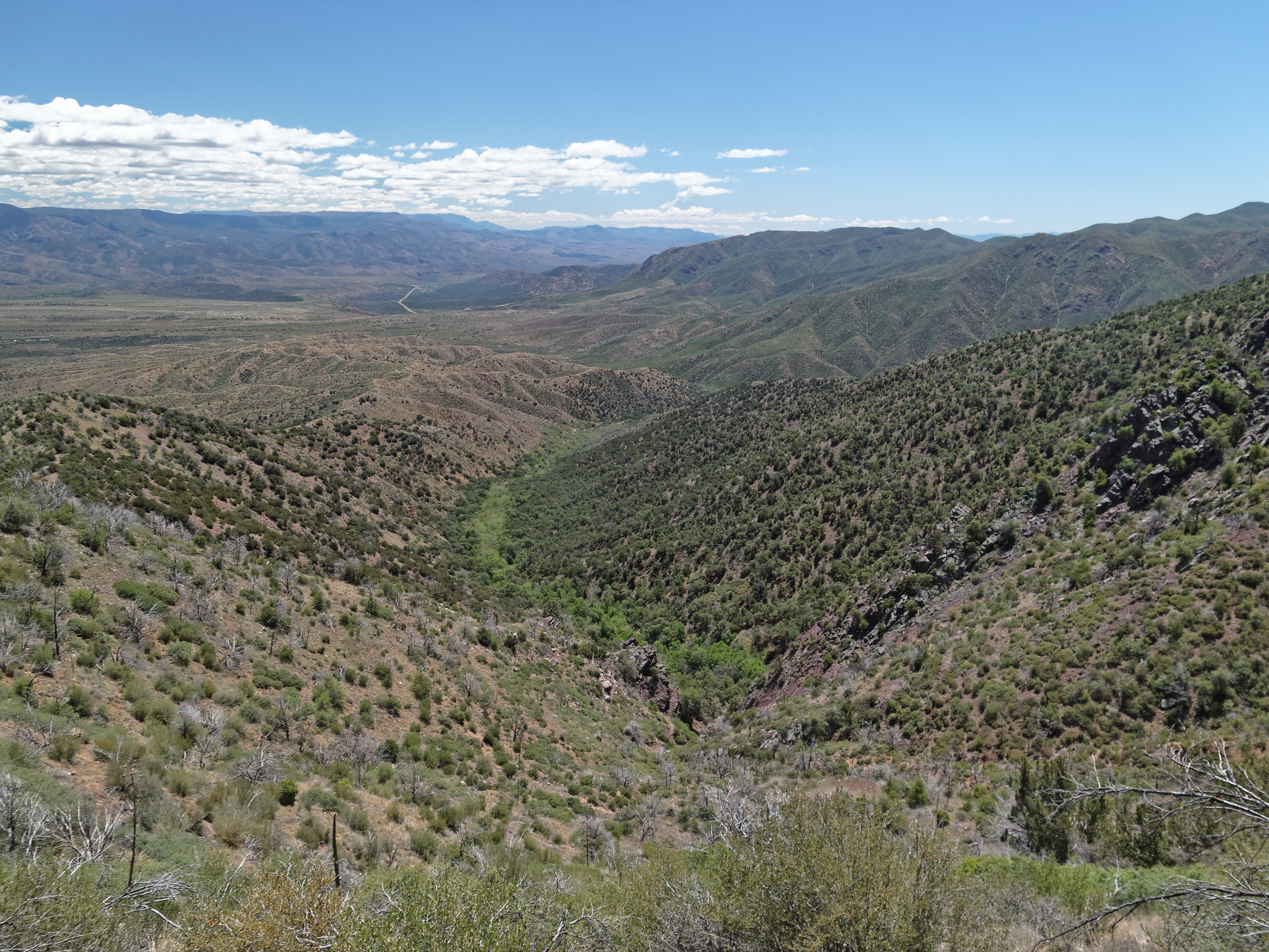
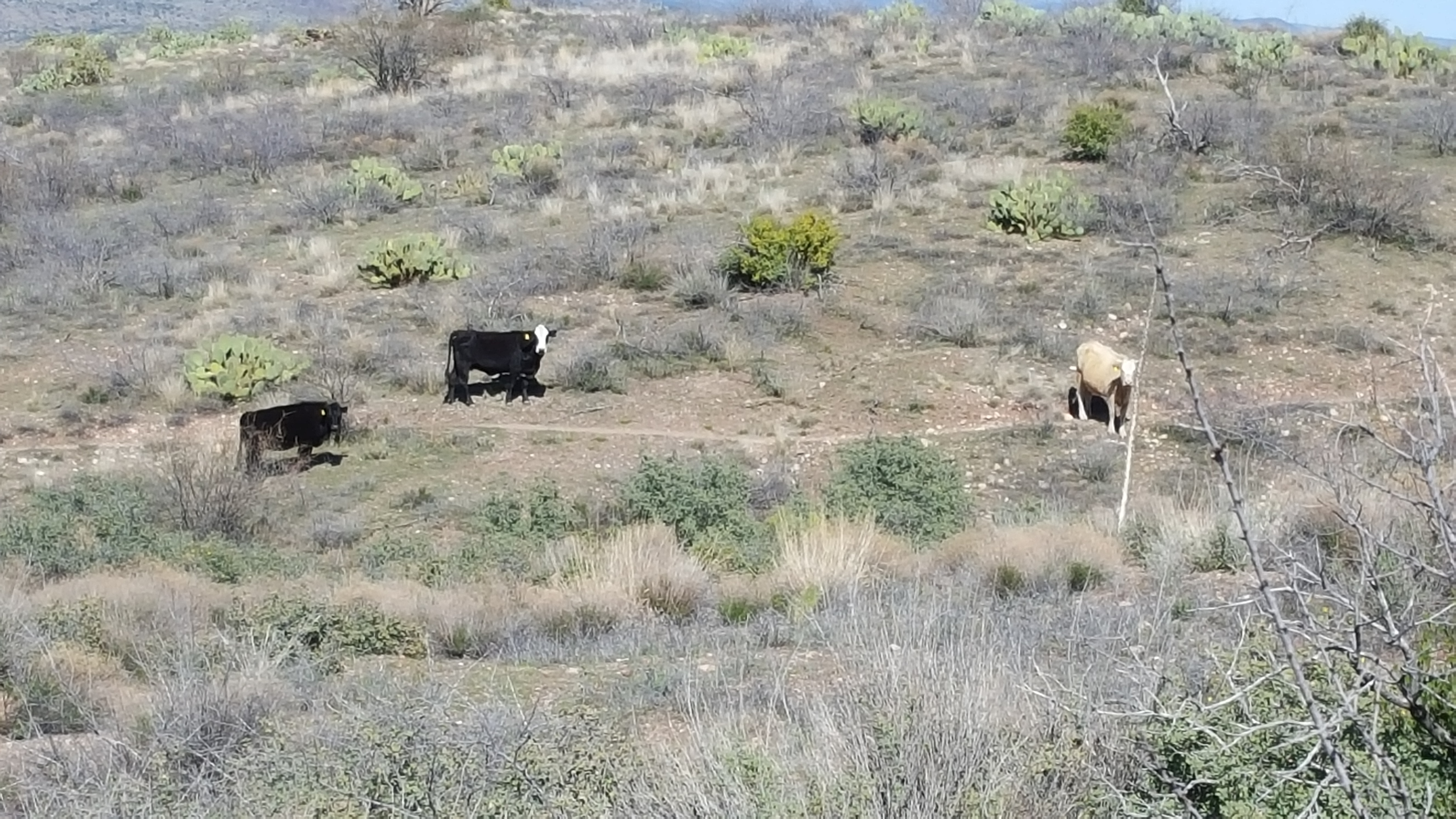
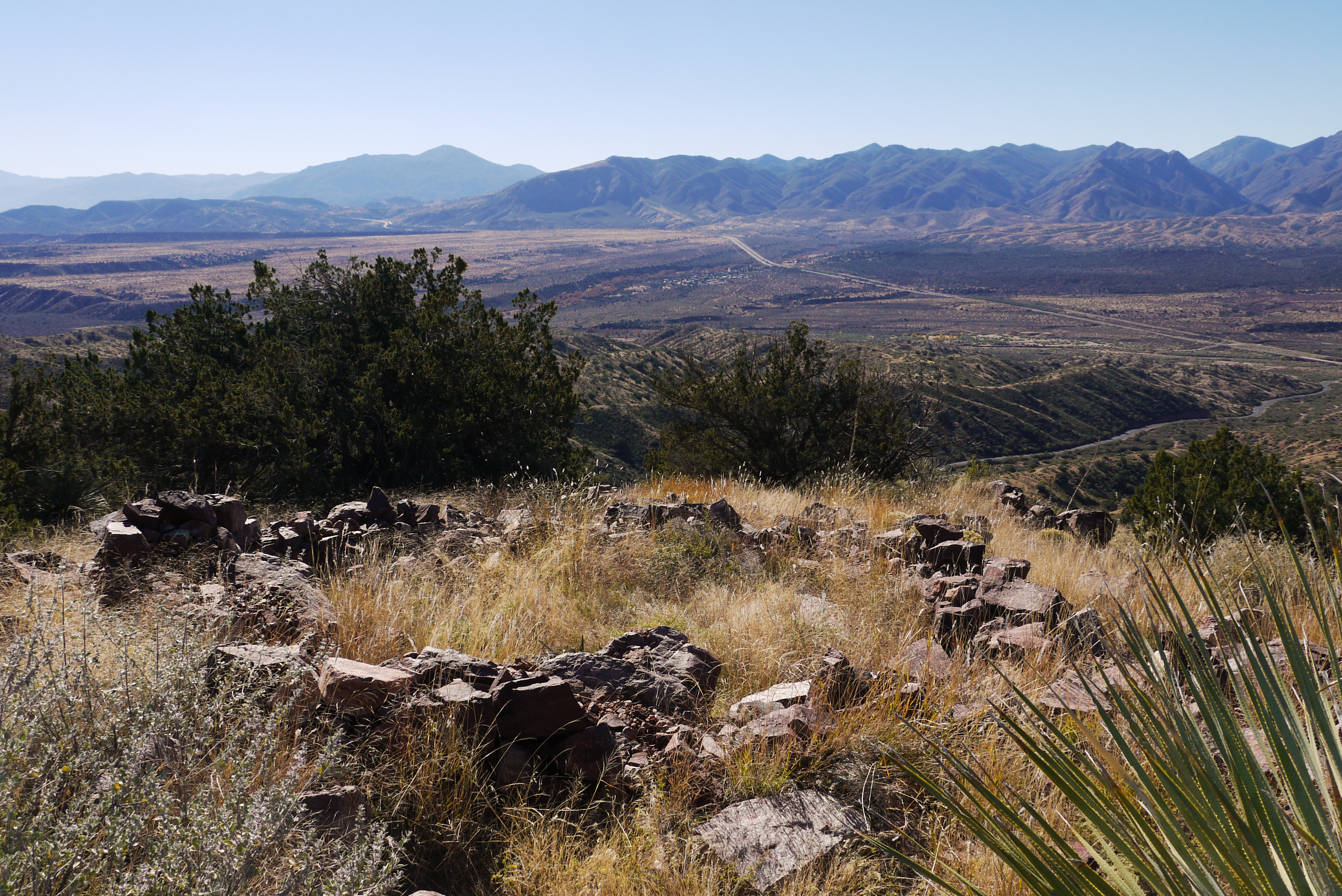
Fotos

Distant Storm
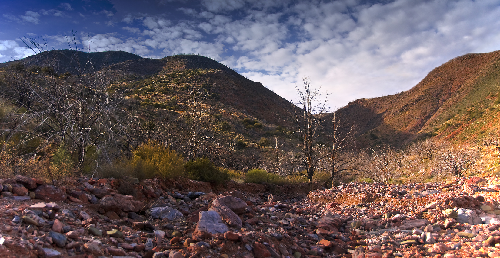
Up The Maw
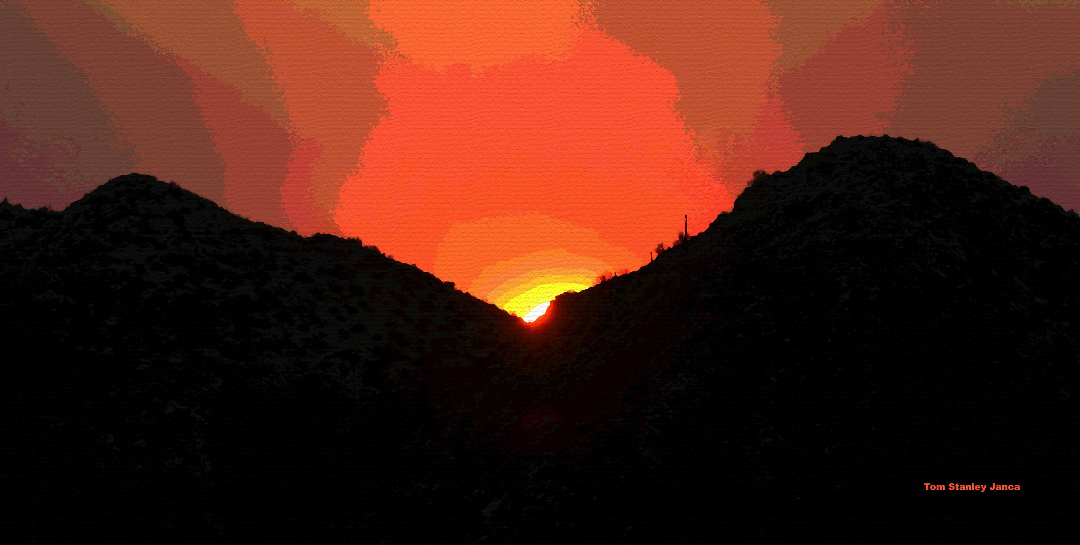
Sunset Sunflower Fire Smoke
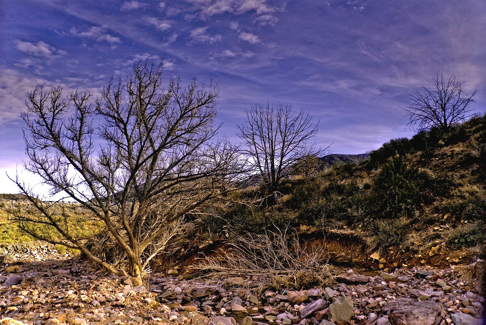
A River Ran Under It
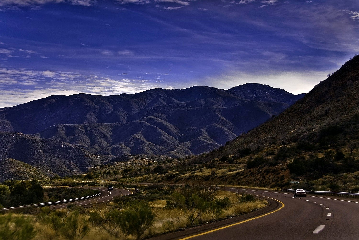
On The Beeline Highway
Shake Tree Canyon
South Fork Trail
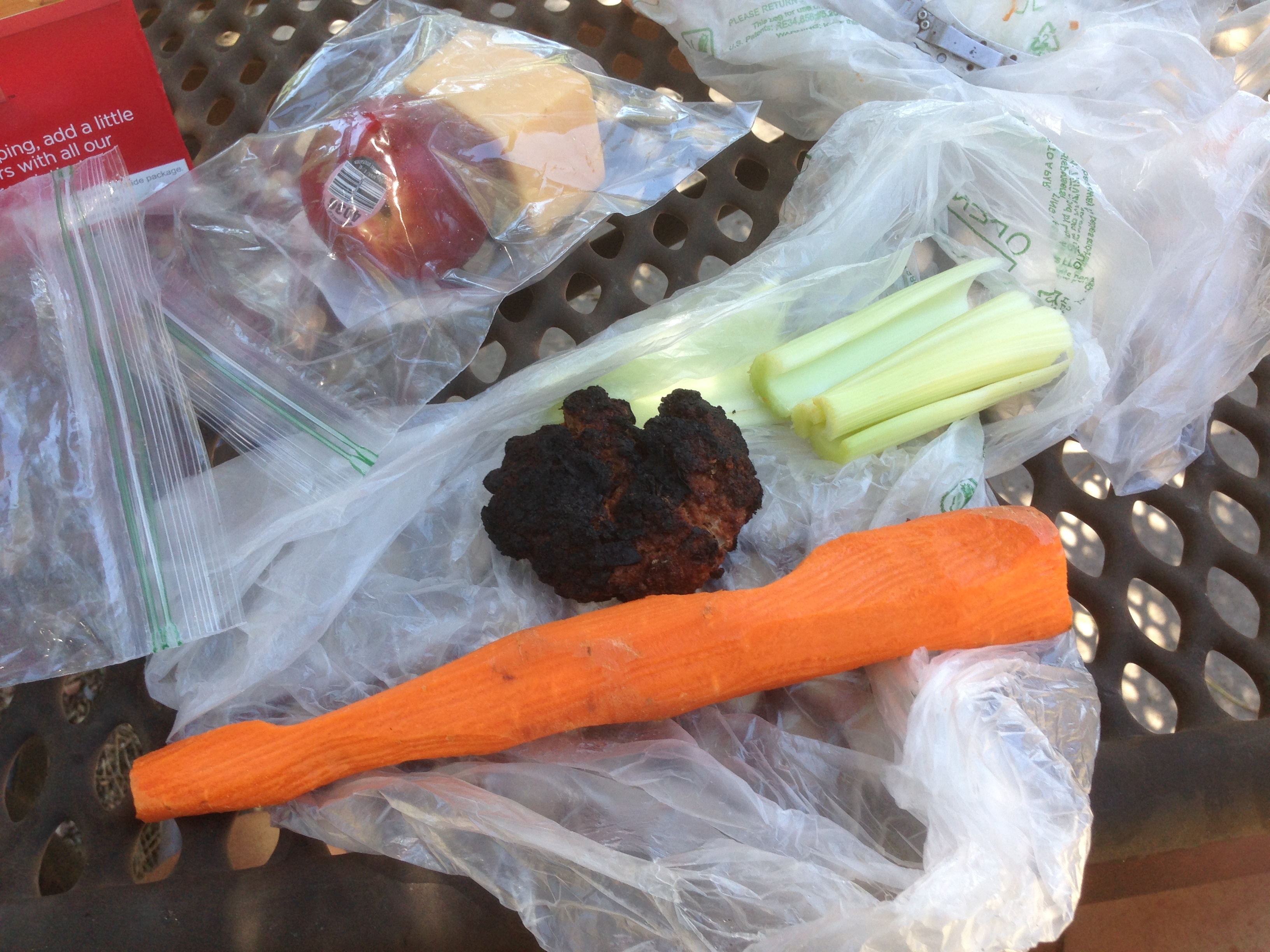
What's With All the Health Food On the Road?

IMG_0921.JPG

Uncle Michael Salman Khayal & @djpatrickd
Arizona 2014
Arizona 2014
Mapa de Mazatzal Peak, Arizona, EE. UU.
Buscar otro lugar
Lugares cercanos
North Peak, Arizona, EE. UU.
Deercreek Dr, Payson, AZ, EE. UU.
Deercreek Drive, Deercreek Dr, Arizona, EE. UU.
Deercreek Dr, Payson, AZ, EE. UU.
Oxbow Trail, Payson, AZ, EE. UU.
Oxbow Trail, Payson, AZ, EE. UU.
Gisela, Arizona, EE. UU.
Whitney Ranch Estates, AZ, EE. UU.
West Gibson Ranch Road, W Gibson Ranch Rd, Payson, AZ, EE. UU.
Mazatzal Hotel & Casino, Highway 87, Mile Marker, Payson, AZ, EE. UU.
E Phoenix St, Payson, AZ, EE. UU.
W Frontier St, Payson, AZ, EE. UU.
Payson, Arizona, EE. UU.
S Tonto St, Payson, AZ, EE. UU.
S Beeline Hwy, Payson, AZ, EE. UU.
Days Inn & Suites by Wyndham Payson, S Beeline Hwy A, Payson, AZ, EE. UU.
Río Verde, Arizona, EE. UU.
Punkin Center, Tonto Basin, AZ, EE. UU.
N Gila Dr, Payson, AZ, EE. UU.
N Alpine Heights Dr, Payson, AZ, EE. UU.
Búsquedas recientes
- Horas de salida y puesta de sol de Leguwa, Nepal
- Horas de salida y puesta de sol de Shustino, Vladimir Oblast, Russia
- Horas de salida y puesta de sol de Lampiasi St, Sarasota, FL, USA
- Horas de salida y puesta de sol de Japón, 〒- Toyama, Kubomotomachi, 12−31 APAガーデンコート稲荷
- Horas de salida y puesta de sol de Jialuohu, Datong Township, Yilan County, Taiwán
- Horas de salida y puesta de sol de 大下港, Sekizenoge, Imabari, Prefectura de Ehime -, Japón
- Horas de salida y puesta de sol de Oge port Ferry Terminal, -1 Sekizenōge, Imabari, Ehime -, Japón
- Horas de salida y puesta de sol de San Telmo, Cdad. Autónoma de Buenos Aires, Argentina
- Horas de salida y puesta de sol de Congressional Dr, Stevensville, MD, USA
- Horas de salida y puesta de sol de Papingo 04, Grecia