Horas de salida y puesta de sol de Matlock Dr, Chapmansboro, TN, EE. UU.
Location: Estados Unidos > Tennessee > Condado de Cheatham > Chapmansboro >
Zona horaria:
America/Chicago
Hora local:
2024-05-08 17:49:27
Longitud:
-87.130892
Latitud:
36.302731
Salida de sol de hoy:
05:46:14 AM
Puesta de sol de hoy:
07:43:38 PM
La duración del día hoy:
13h 57m 24s
Salida de sol de mañana:
05:45:20 AM
Puesta de sol de mañana:
07:44:28 PM
La duración del día mañana:
13h 59m 8s
Mostrar todas las fechas
| Fecha | Salida de sol | Puesta de sol | Duración del día |
|---|---|---|---|
| 01/01/2024 | 06:59:55 AM | 04:44:42 PM | 9h 44m 47s |
| 02/01/2024 | 07:00:03 AM | 04:45:30 PM | 9h 45m 27s |
| 03/01/2024 | 07:00:09 AM | 04:46:19 PM | 9h 46m 10s |
| 04/01/2024 | 07:00:14 AM | 04:47:09 PM | 9h 46m 55s |
| 05/01/2024 | 07:00:16 AM | 04:48:00 PM | 9h 47m 44s |
| 06/01/2024 | 07:00:16 AM | 04:48:53 PM | 9h 48m 37s |
| 07/01/2024 | 07:00:14 AM | 04:49:46 PM | 9h 49m 32s |
| 08/01/2024 | 07:00:10 AM | 04:50:40 PM | 9h 50m 30s |
| 09/01/2024 | 07:00:05 AM | 04:51:35 PM | 9h 51m 30s |
| 10/01/2024 | 06:59:57 AM | 04:52:31 PM | 9h 52m 34s |
| 11/01/2024 | 06:59:47 AM | 04:53:28 PM | 9h 53m 41s |
| 12/01/2024 | 06:59:35 AM | 04:54:26 PM | 9h 54m 51s |
| 13/01/2024 | 06:59:22 AM | 04:55:24 PM | 9h 56m 2s |
| 14/01/2024 | 06:59:06 AM | 04:56:23 PM | 9h 57m 17s |
| 15/01/2024 | 06:58:49 AM | 04:57:23 PM | 9h 58m 34s |
| 16/01/2024 | 06:58:29 AM | 04:58:23 PM | 9h 59m 54s |
| 17/01/2024 | 06:58:07 AM | 04:59:24 PM | 10h 1m 17s |
| 18/01/2024 | 06:57:44 AM | 05:00:25 PM | 10h 2m 41s |
| 19/01/2024 | 06:57:19 AM | 05:01:27 PM | 10h 4m 8s |
| 20/01/2024 | 06:56:52 AM | 05:02:29 PM | 10h 5m 37s |
| 21/01/2024 | 06:56:23 AM | 05:03:31 PM | 10h 7m 8s |
| 22/01/2024 | 06:55:52 AM | 05:04:34 PM | 10h 8m 42s |
| 23/01/2024 | 06:55:19 AM | 05:05:37 PM | 10h 10m 18s |
| 24/01/2024 | 06:54:45 AM | 05:06:40 PM | 10h 11m 55s |
| 25/01/2024 | 06:54:08 AM | 05:07:43 PM | 10h 13m 35s |
| 26/01/2024 | 06:53:30 AM | 05:08:47 PM | 10h 15m 17s |
| 27/01/2024 | 06:52:50 AM | 05:09:51 PM | 10h 17m 1s |
| 28/01/2024 | 06:52:09 AM | 05:10:54 PM | 10h 18m 45s |
| 29/01/2024 | 06:51:26 AM | 05:11:58 PM | 10h 20m 32s |
| 30/01/2024 | 06:50:41 AM | 05:13:02 PM | 10h 22m 21s |
| 31/01/2024 | 06:49:55 AM | 05:14:06 PM | 10h 24m 11s |
| 01/02/2024 | 06:49:07 AM | 05:15:10 PM | 10h 26m 3s |
| 02/02/2024 | 06:48:17 AM | 05:16:13 PM | 10h 27m 56s |
| 03/02/2024 | 06:47:26 AM | 05:17:17 PM | 10h 29m 51s |
| 04/02/2024 | 06:46:33 AM | 05:18:20 PM | 10h 31m 47s |
| 05/02/2024 | 06:45:39 AM | 05:19:24 PM | 10h 33m 45s |
| 06/02/2024 | 06:44:44 AM | 05:20:27 PM | 10h 35m 43s |
| 07/02/2024 | 06:43:47 AM | 05:21:30 PM | 10h 37m 43s |
| 08/02/2024 | 06:42:48 AM | 05:22:33 PM | 10h 39m 45s |
| 09/02/2024 | 06:41:49 AM | 05:23:35 PM | 10h 41m 46s |
| 10/02/2024 | 06:40:48 AM | 05:24:38 PM | 10h 43m 50s |
| 11/02/2024 | 06:39:45 AM | 05:25:40 PM | 10h 45m 55s |
| 12/02/2024 | 06:38:42 AM | 05:26:42 PM | 10h 48m 0s |
| 13/02/2024 | 06:37:37 AM | 05:27:43 PM | 10h 50m 6s |
| 14/02/2024 | 06:36:31 AM | 05:28:45 PM | 10h 52m 14s |
| 15/02/2024 | 06:35:24 AM | 05:29:46 PM | 10h 54m 22s |
| 16/02/2024 | 06:34:16 AM | 05:30:46 PM | 10h 56m 30s |
| 17/02/2024 | 06:33:07 AM | 05:31:47 PM | 10h 58m 40s |
| 18/02/2024 | 06:31:56 AM | 05:32:47 PM | 11h 0m 51s |
| 19/02/2024 | 06:30:45 AM | 05:33:47 PM | 11h 3m 2s |
| 20/02/2024 | 06:29:32 AM | 05:34:46 PM | 11h 5m 14s |
| 21/02/2024 | 06:28:19 AM | 05:35:45 PM | 11h 7m 26s |
| 22/02/2024 | 06:27:05 AM | 05:36:44 PM | 11h 9m 39s |
| 23/02/2024 | 06:25:50 AM | 05:37:42 PM | 11h 11m 52s |
| 24/02/2024 | 06:24:33 AM | 05:38:41 PM | 11h 14m 8s |
| 25/02/2024 | 06:23:17 AM | 05:39:38 PM | 11h 16m 21s |
| 26/02/2024 | 06:21:59 AM | 05:40:36 PM | 11h 18m 37s |
| 27/02/2024 | 06:20:40 AM | 05:41:33 PM | 11h 20m 53s |
| 28/02/2024 | 06:19:21 AM | 05:42:30 PM | 11h 23m 9s |
| 29/02/2024 | 06:18:01 AM | 05:43:26 PM | 11h 25m 25s |
| 01/03/2024 | 06:16:41 AM | 05:44:23 PM | 11h 27m 42s |
| 02/03/2024 | 06:15:19 AM | 05:45:18 PM | 11h 29m 59s |
| 03/03/2024 | 06:13:58 AM | 05:46:14 PM | 11h 32m 16s |
| 04/03/2024 | 06:12:35 AM | 05:47:09 PM | 11h 34m 34s |
| 05/03/2024 | 06:11:12 AM | 05:48:04 PM | 11h 36m 52s |
| 06/03/2024 | 06:09:49 AM | 05:48:59 PM | 11h 39m 10s |
| 07/03/2024 | 06:08:25 AM | 05:49:53 PM | 11h 41m 28s |
| 08/03/2024 | 06:07:00 AM | 05:50:48 PM | 11h 43m 48s |
| 09/03/2024 | 06:05:36 AM | 05:51:42 PM | 11h 46m 6s |
| 10/03/2024 | 07:04:14 AM | 06:52:33 PM | 11h 48m 19s |
| 11/03/2024 | 07:02:48 AM | 06:53:27 PM | 11h 50m 39s |
| 12/03/2024 | 07:01:22 AM | 06:54:20 PM | 11h 52m 58s |
| 13/03/2024 | 06:59:56 AM | 06:55:13 PM | 11h 55m 17s |
| 14/03/2024 | 06:58:30 AM | 06:56:06 PM | 11h 57m 36s |
| 15/03/2024 | 06:57:03 AM | 06:56:58 PM | 11h 59m 55s |
| 16/03/2024 | 06:55:36 AM | 06:57:51 PM | 12h 2m 15s |
| 17/03/2024 | 06:54:09 AM | 06:58:43 PM | 12h 4m 34s |
| 18/03/2024 | 06:52:42 AM | 06:59:35 PM | 12h 6m 53s |
| 19/03/2024 | 06:51:14 AM | 07:00:27 PM | 12h 9m 13s |
| 20/03/2024 | 06:49:47 AM | 07:01:19 PM | 12h 11m 32s |
| 21/03/2024 | 06:48:19 AM | 07:02:10 PM | 12h 13m 51s |
| 22/03/2024 | 06:46:52 AM | 07:03:02 PM | 12h 16m 10s |
| 23/03/2024 | 06:45:24 AM | 07:03:53 PM | 12h 18m 29s |
| 24/03/2024 | 06:43:56 AM | 07:04:45 PM | 12h 20m 49s |
| 25/03/2024 | 06:42:29 AM | 07:05:36 PM | 12h 23m 7s |
| 26/03/2024 | 06:41:02 AM | 07:06:27 PM | 12h 25m 25s |
| 27/03/2024 | 06:39:34 AM | 07:07:18 PM | 12h 27m 44s |
| 28/03/2024 | 06:38:07 AM | 07:08:10 PM | 12h 30m 3s |
| 29/03/2024 | 06:36:40 AM | 07:09:01 PM | 12h 32m 21s |
| 30/03/2024 | 06:35:13 AM | 07:09:52 PM | 12h 34m 39s |
| 31/03/2024 | 06:33:47 AM | 07:10:43 PM | 12h 36m 56s |
| 01/04/2024 | 06:32:20 AM | 07:11:34 PM | 12h 39m 14s |
| 02/04/2024 | 06:30:54 AM | 07:12:24 PM | 12h 41m 30s |
| 03/04/2024 | 06:29:29 AM | 07:13:15 PM | 12h 43m 46s |
| 04/04/2024 | 06:28:03 AM | 07:14:06 PM | 12h 46m 3s |
| 05/04/2024 | 06:26:38 AM | 07:14:57 PM | 12h 48m 19s |
| 06/04/2024 | 06:25:14 AM | 07:15:48 PM | 12h 50m 34s |
| 07/04/2024 | 06:23:50 AM | 07:16:39 PM | 12h 52m 49s |
| 08/04/2024 | 06:22:26 AM | 07:17:30 PM | 12h 55m 4s |
| 09/04/2024 | 06:21:03 AM | 07:18:22 PM | 12h 57m 19s |
| 10/04/2024 | 06:19:40 AM | 07:19:13 PM | 12h 59m 33s |
| 11/04/2024 | 06:18:18 AM | 07:20:04 PM | 13h 1m 46s |
| 12/04/2024 | 06:16:57 AM | 07:20:55 PM | 13h 3m 58s |
| 13/04/2024 | 06:15:36 AM | 07:21:46 PM | 13h 6m 10s |
| 14/04/2024 | 06:14:16 AM | 07:22:38 PM | 13h 8m 22s |
| 15/04/2024 | 06:12:56 AM | 07:23:29 PM | 13h 10m 33s |
| 16/04/2024 | 06:11:37 AM | 07:24:20 PM | 13h 12m 43s |
| 17/04/2024 | 06:10:19 AM | 07:25:12 PM | 13h 14m 53s |
| 18/04/2024 | 06:09:02 AM | 07:26:04 PM | 13h 17m 2s |
| 19/04/2024 | 06:07:45 AM | 07:26:55 PM | 13h 19m 10s |
| 20/04/2024 | 06:06:30 AM | 07:27:47 PM | 13h 21m 17s |
| 21/04/2024 | 06:05:15 AM | 07:28:38 PM | 13h 23m 23s |
| 22/04/2024 | 06:04:01 AM | 07:29:30 PM | 13h 25m 29s |
| 23/04/2024 | 06:02:48 AM | 07:30:22 PM | 13h 27m 34s |
| 24/04/2024 | 06:01:36 AM | 07:31:14 PM | 13h 29m 38s |
| 25/04/2024 | 06:00:24 AM | 07:32:05 PM | 13h 31m 41s |
| 26/04/2024 | 05:59:14 AM | 07:32:57 PM | 13h 33m 43s |
| 27/04/2024 | 05:58:05 AM | 07:33:49 PM | 13h 35m 44s |
| 28/04/2024 | 05:56:57 AM | 07:34:41 PM | 13h 37m 44s |
| 29/04/2024 | 05:55:50 AM | 07:35:33 PM | 13h 39m 43s |
| 30/04/2024 | 05:54:44 AM | 07:36:24 PM | 13h 41m 40s |
| 01/05/2024 | 05:53:39 AM | 07:37:16 PM | 13h 43m 37s |
| 02/05/2024 | 05:52:35 AM | 07:38:08 PM | 13h 45m 33s |
| 03/05/2024 | 05:51:33 AM | 07:38:59 PM | 13h 47m 26s |
| 04/05/2024 | 05:50:32 AM | 07:39:50 PM | 13h 49m 18s |
| 05/05/2024 | 05:49:32 AM | 07:40:42 PM | 13h 51m 10s |
| 06/05/2024 | 05:48:33 AM | 07:41:33 PM | 13h 53m 0s |
| 07/05/2024 | 05:47:36 AM | 07:42:24 PM | 13h 54m 48s |
| 08/05/2024 | 05:46:39 AM | 07:43:15 PM | 13h 56m 36s |
| 09/05/2024 | 05:45:45 AM | 07:44:05 PM | 13h 58m 20s |
| 10/05/2024 | 05:44:51 AM | 07:44:56 PM | 14h 0m 5s |
| 11/05/2024 | 05:43:59 AM | 07:45:46 PM | 14h 1m 47s |
| 12/05/2024 | 05:43:09 AM | 07:46:36 PM | 14h 3m 27s |
| 13/05/2024 | 05:42:20 AM | 07:47:25 PM | 14h 5m 5s |
| 14/05/2024 | 05:41:32 AM | 07:48:14 PM | 14h 6m 42s |
| 15/05/2024 | 05:40:46 AM | 07:49:03 PM | 14h 8m 17s |
| 16/05/2024 | 05:40:01 AM | 07:49:52 PM | 14h 9m 51s |
| 17/05/2024 | 05:39:18 AM | 07:50:40 PM | 14h 11m 22s |
| 18/05/2024 | 05:38:36 AM | 07:51:27 PM | 14h 12m 51s |
| 19/05/2024 | 05:37:56 AM | 07:52:14 PM | 14h 14m 18s |
| 20/05/2024 | 05:37:18 AM | 07:53:01 PM | 14h 15m 43s |
| 21/05/2024 | 05:36:41 AM | 07:53:47 PM | 14h 17m 6s |
| 22/05/2024 | 05:36:06 AM | 07:54:32 PM | 14h 18m 26s |
| 23/05/2024 | 05:35:32 AM | 07:55:17 PM | 14h 19m 45s |
| 24/05/2024 | 05:35:01 AM | 07:56:01 PM | 14h 21m 0s |
| 25/05/2024 | 05:34:30 AM | 07:56:45 PM | 14h 22m 15s |
| 26/05/2024 | 05:34:02 AM | 07:57:28 PM | 14h 23m 26s |
| 27/05/2024 | 05:33:35 AM | 07:58:10 PM | 14h 24m 35s |
| 28/05/2024 | 05:33:10 AM | 07:58:51 PM | 14h 25m 41s |
| 29/05/2024 | 05:32:46 AM | 07:59:31 PM | 14h 26m 45s |
| 30/05/2024 | 05:32:24 AM | 08:00:11 PM | 14h 27m 47s |
| 31/05/2024 | 05:32:04 AM | 08:00:49 PM | 14h 28m 45s |
| 01/06/2024 | 05:31:46 AM | 08:01:27 PM | 14h 29m 41s |
| 02/06/2024 | 05:31:29 AM | 08:02:03 PM | 14h 30m 34s |
| 03/06/2024 | 05:31:14 AM | 08:02:39 PM | 14h 31m 25s |
| 04/06/2024 | 05:31:01 AM | 08:03:14 PM | 14h 32m 13s |
| 05/06/2024 | 05:30:50 AM | 08:03:47 PM | 14h 32m 57s |
| 06/06/2024 | 05:30:40 AM | 08:04:19 PM | 14h 33m 39s |
| 07/06/2024 | 05:30:32 AM | 08:04:50 PM | 14h 34m 18s |
| 08/06/2024 | 05:30:26 AM | 08:05:20 PM | 14h 34m 54s |
| 09/06/2024 | 05:30:21 AM | 08:05:49 PM | 14h 35m 28s |
| 10/06/2024 | 05:30:18 AM | 08:06:16 PM | 14h 35m 58s |
| 11/06/2024 | 05:30:17 AM | 08:06:42 PM | 14h 36m 25s |
| 12/06/2024 | 05:30:17 AM | 08:07:07 PM | 14h 36m 50s |
| 13/06/2024 | 05:30:19 AM | 08:07:31 PM | 14h 37m 12s |
| 14/06/2024 | 05:30:23 AM | 08:07:53 PM | 14h 37m 30s |
| 15/06/2024 | 05:30:28 AM | 08:08:13 PM | 14h 37m 45s |
| 16/06/2024 | 05:30:35 AM | 08:08:32 PM | 14h 37m 57s |
| 17/06/2024 | 05:30:44 AM | 08:08:50 PM | 14h 38m 6s |
| 18/06/2024 | 05:30:54 AM | 08:09:06 PM | 14h 38m 12s |
| 19/06/2024 | 05:31:06 AM | 08:09:20 PM | 14h 38m 14s |
| 20/06/2024 | 05:31:19 AM | 08:09:33 PM | 14h 38m 14s |
| 21/06/2024 | 05:31:34 AM | 08:09:44 PM | 14h 38m 10s |
| 22/06/2024 | 05:31:50 AM | 08:09:54 PM | 14h 38m 4s |
| 23/06/2024 | 05:32:07 AM | 08:10:02 PM | 14h 37m 55s |
| 24/06/2024 | 05:32:27 AM | 08:10:09 PM | 14h 37m 42s |
| 25/06/2024 | 05:32:47 AM | 08:10:13 PM | 14h 37m 26s |
| 26/06/2024 | 05:33:09 AM | 08:10:16 PM | 14h 37m 7s |
| 27/06/2024 | 05:33:32 AM | 08:10:18 PM | 14h 36m 46s |
| 28/06/2024 | 05:33:56 AM | 08:10:17 PM | 14h 36m 21s |
| 29/06/2024 | 05:34:22 AM | 08:10:15 PM | 14h 35m 53s |
| 30/06/2024 | 05:34:49 AM | 08:10:12 PM | 14h 35m 23s |
| 01/07/2024 | 05:35:17 AM | 08:10:06 PM | 14h 34m 49s |
| 02/07/2024 | 05:35:46 AM | 08:09:59 PM | 14h 34m 13s |
| 03/07/2024 | 05:36:17 AM | 08:09:50 PM | 14h 33m 33s |
| 04/07/2024 | 05:36:48 AM | 08:09:39 PM | 14h 32m 51s |
| 05/07/2024 | 05:37:21 AM | 08:09:26 PM | 14h 32m 5s |
| 06/07/2024 | 05:37:54 AM | 08:09:12 PM | 14h 31m 18s |
| 07/07/2024 | 05:38:29 AM | 08:08:56 PM | 14h 30m 27s |
| 08/07/2024 | 05:39:04 AM | 08:08:38 PM | 14h 29m 34s |
| 09/07/2024 | 05:39:41 AM | 08:08:18 PM | 14h 28m 37s |
| 10/07/2024 | 05:40:18 AM | 08:07:57 PM | 14h 27m 39s |
| 11/07/2024 | 05:40:56 AM | 08:07:33 PM | 14h 26m 37s |
| 12/07/2024 | 05:41:35 AM | 08:07:09 PM | 14h 25m 34s |
| 13/07/2024 | 05:42:15 AM | 08:06:42 PM | 14h 24m 27s |
| 14/07/2024 | 05:42:55 AM | 08:06:14 PM | 14h 23m 19s |
| 15/07/2024 | 05:43:36 AM | 08:05:43 PM | 14h 22m 7s |
| 16/07/2024 | 05:44:18 AM | 08:05:12 PM | 14h 20m 54s |
| 17/07/2024 | 05:45:00 AM | 08:04:38 PM | 14h 19m 38s |
| 18/07/2024 | 05:45:43 AM | 08:04:03 PM | 14h 18m 20s |
| 19/07/2024 | 05:46:27 AM | 08:03:26 PM | 14h 16m 59s |
| 20/07/2024 | 05:47:11 AM | 08:02:48 PM | 14h 15m 37s |
| 21/07/2024 | 05:47:55 AM | 08:02:08 PM | 14h 14m 13s |
| 22/07/2024 | 05:48:40 AM | 08:01:26 PM | 14h 12m 46s |
| 23/07/2024 | 05:49:25 AM | 08:00:43 PM | 14h 11m 18s |
| 24/07/2024 | 05:50:11 AM | 07:59:58 PM | 14h 9m 47s |
| 25/07/2024 | 05:50:57 AM | 07:59:12 PM | 14h 8m 15s |
| 26/07/2024 | 05:51:43 AM | 07:58:24 PM | 14h 6m 41s |
| 27/07/2024 | 05:52:30 AM | 07:57:35 PM | 14h 5m 5s |
| 28/07/2024 | 05:53:17 AM | 07:56:44 PM | 14h 3m 27s |
| 29/07/2024 | 05:54:04 AM | 07:55:51 PM | 14h 1m 47s |
| 30/07/2024 | 05:54:51 AM | 07:54:58 PM | 14h 0m 7s |
| 31/07/2024 | 05:55:39 AM | 07:54:03 PM | 13h 58m 24s |
| 01/08/2024 | 05:56:27 AM | 07:53:06 PM | 13h 56m 39s |
| 02/08/2024 | 05:57:15 AM | 07:52:08 PM | 13h 54m 53s |
| 03/08/2024 | 05:58:02 AM | 07:51:09 PM | 13h 53m 7s |
| 04/08/2024 | 05:58:51 AM | 07:50:08 PM | 13h 51m 17s |
| 05/08/2024 | 05:59:39 AM | 07:49:07 PM | 13h 49m 28s |
| 06/08/2024 | 06:00:27 AM | 07:48:04 PM | 13h 47m 37s |
| 07/08/2024 | 06:01:15 AM | 07:46:59 PM | 13h 45m 44s |
| 08/08/2024 | 06:02:04 AM | 07:45:54 PM | 13h 43m 50s |
| 09/08/2024 | 06:02:52 AM | 07:44:47 PM | 13h 41m 55s |
| 10/08/2024 | 06:03:40 AM | 07:43:39 PM | 13h 39m 59s |
| 11/08/2024 | 06:04:29 AM | 07:42:30 PM | 13h 38m 1s |
| 12/08/2024 | 06:05:17 AM | 07:41:20 PM | 13h 36m 3s |
| 13/08/2024 | 06:06:05 AM | 07:40:09 PM | 13h 34m 4s |
| 14/08/2024 | 06:06:54 AM | 07:38:57 PM | 13h 32m 3s |
| 15/08/2024 | 06:07:42 AM | 07:37:44 PM | 13h 30m 2s |
| 16/08/2024 | 06:08:30 AM | 07:36:30 PM | 13h 28m 0s |
| 17/08/2024 | 06:09:18 AM | 07:35:15 PM | 13h 25m 57s |
| 18/08/2024 | 06:10:06 AM | 07:33:59 PM | 13h 23m 53s |
| 19/08/2024 | 06:10:54 AM | 07:32:43 PM | 13h 21m 49s |
| 20/08/2024 | 06:11:42 AM | 07:31:25 PM | 13h 19m 43s |
| 21/08/2024 | 06:12:30 AM | 07:30:07 PM | 13h 17m 37s |
| 22/08/2024 | 06:13:17 AM | 07:28:47 PM | 13h 15m 30s |
| 23/08/2024 | 06:14:05 AM | 07:27:27 PM | 13h 13m 22s |
| 24/08/2024 | 06:14:52 AM | 07:26:06 PM | 13h 11m 14s |
| 25/08/2024 | 06:15:40 AM | 07:24:45 PM | 13h 9m 5s |
| 26/08/2024 | 06:16:27 AM | 07:23:23 PM | 13h 6m 56s |
| 27/08/2024 | 06:17:14 AM | 07:22:00 PM | 13h 4m 46s |
| 28/08/2024 | 06:18:02 AM | 07:20:37 PM | 13h 2m 35s |
| 29/08/2024 | 06:18:49 AM | 07:19:12 PM | 13h 0m 23s |
| 30/08/2024 | 06:19:36 AM | 07:17:48 PM | 12h 58m 12s |
| 31/08/2024 | 06:20:23 AM | 07:16:23 PM | 12h 56m 0s |
| 01/09/2024 | 06:21:10 AM | 07:14:57 PM | 12h 53m 47s |
| 02/09/2024 | 06:21:56 AM | 07:13:31 PM | 12h 51m 35s |
| 03/09/2024 | 06:22:43 AM | 07:12:04 PM | 12h 49m 21s |
| 04/09/2024 | 06:23:30 AM | 07:10:37 PM | 12h 47m 7s |
| 05/09/2024 | 06:24:17 AM | 07:09:10 PM | 12h 44m 53s |
| 06/09/2024 | 06:25:03 AM | 07:07:42 PM | 12h 42m 39s |
| 07/09/2024 | 06:25:50 AM | 07:06:14 PM | 12h 40m 24s |
| 08/09/2024 | 06:26:37 AM | 07:04:46 PM | 12h 38m 9s |
| 09/09/2024 | 06:27:23 AM | 07:03:17 PM | 12h 35m 54s |
| 10/09/2024 | 06:28:10 AM | 07:01:48 PM | 12h 33m 38s |
| 11/09/2024 | 06:28:57 AM | 07:00:19 PM | 12h 31m 22s |
| 12/09/2024 | 06:29:43 AM | 06:58:50 PM | 12h 29m 7s |
| 13/09/2024 | 06:30:30 AM | 06:57:20 PM | 12h 26m 50s |
| 14/09/2024 | 06:31:17 AM | 06:55:51 PM | 12h 24m 34s |
| 15/09/2024 | 06:32:04 AM | 06:54:21 PM | 12h 22m 17s |
| 16/09/2024 | 06:32:51 AM | 06:52:51 PM | 12h 20m 0s |
| 17/09/2024 | 06:33:38 AM | 06:51:21 PM | 12h 17m 43s |
| 18/09/2024 | 06:34:25 AM | 06:49:51 PM | 12h 15m 26s |
| 19/09/2024 | 06:35:12 AM | 06:48:21 PM | 12h 13m 9s |
| 20/09/2024 | 06:35:59 AM | 06:46:52 PM | 12h 10m 53s |
| 21/09/2024 | 06:36:47 AM | 06:45:22 PM | 12h 8m 35s |
| 22/09/2024 | 06:37:34 AM | 06:43:52 PM | 12h 6m 18s |
| 23/09/2024 | 06:38:22 AM | 06:42:23 PM | 12h 4m 1s |
| 24/09/2024 | 06:39:10 AM | 06:40:53 PM | 12h 1m 43s |
| 25/09/2024 | 06:39:58 AM | 06:39:24 PM | 11h 59m 26s |
| 26/09/2024 | 06:40:46 AM | 06:37:55 PM | 11h 57m 9s |
| 27/09/2024 | 06:41:35 AM | 06:36:26 PM | 11h 54m 51s |
| 28/09/2024 | 06:42:23 AM | 06:34:58 PM | 11h 52m 35s |
| 29/09/2024 | 06:43:12 AM | 06:33:30 PM | 11h 50m 18s |
| 30/09/2024 | 06:44:01 AM | 06:32:02 PM | 11h 48m 1s |
| 01/10/2024 | 06:44:51 AM | 06:30:35 PM | 11h 45m 44s |
| 02/10/2024 | 06:45:40 AM | 06:29:08 PM | 11h 43m 28s |
| 03/10/2024 | 06:46:30 AM | 06:27:41 PM | 11h 41m 11s |
| 04/10/2024 | 06:47:20 AM | 06:26:15 PM | 11h 38m 55s |
| 05/10/2024 | 06:48:11 AM | 06:24:49 PM | 11h 36m 38s |
| 06/10/2024 | 06:49:01 AM | 06:23:24 PM | 11h 34m 23s |
| 07/10/2024 | 06:49:52 AM | 06:21:59 PM | 11h 32m 7s |
| 08/10/2024 | 06:50:44 AM | 06:20:35 PM | 11h 29m 51s |
| 09/10/2024 | 06:51:35 AM | 06:19:12 PM | 11h 27m 37s |
| 10/10/2024 | 06:52:27 AM | 06:17:49 PM | 11h 25m 22s |
| 11/10/2024 | 06:53:19 AM | 06:16:27 PM | 11h 23m 8s |
| 12/10/2024 | 06:54:12 AM | 06:15:05 PM | 11h 20m 53s |
| 13/10/2024 | 06:55:05 AM | 06:13:45 PM | 11h 18m 40s |
| 14/10/2024 | 06:55:58 AM | 06:12:25 PM | 11h 16m 27s |
| 15/10/2024 | 06:56:52 AM | 06:11:05 PM | 11h 14m 13s |
| 16/10/2024 | 06:57:46 AM | 06:09:47 PM | 11h 12m 1s |
| 17/10/2024 | 06:58:40 AM | 06:08:30 PM | 11h 9m 50s |
| 18/10/2024 | 06:59:35 AM | 06:07:13 PM | 11h 7m 38s |
| 19/10/2024 | 07:00:30 AM | 06:05:57 PM | 11h 5m 27s |
| 20/10/2024 | 07:01:26 AM | 06:04:43 PM | 11h 3m 17s |
| 21/10/2024 | 07:02:21 AM | 06:03:29 PM | 11h 1m 8s |
| 22/10/2024 | 07:03:17 AM | 06:02:16 PM | 10h 58m 59s |
| 23/10/2024 | 07:04:14 AM | 06:01:04 PM | 10h 56m 50s |
| 24/10/2024 | 07:05:11 AM | 05:59:54 PM | 10h 54m 43s |
| 25/10/2024 | 07:06:08 AM | 05:58:44 PM | 10h 52m 36s |
| 26/10/2024 | 07:07:05 AM | 05:57:36 PM | 10h 50m 31s |
| 27/10/2024 | 07:08:03 AM | 05:56:29 PM | 10h 48m 26s |
| 28/10/2024 | 07:09:01 AM | 05:55:23 PM | 10h 46m 22s |
| 29/10/2024 | 07:10:00 AM | 05:54:18 PM | 10h 44m 18s |
| 30/10/2024 | 07:10:59 AM | 05:53:15 PM | 10h 42m 16s |
| 31/10/2024 | 07:11:58 AM | 05:52:13 PM | 10h 40m 15s |
| 01/11/2024 | 07:12:57 AM | 05:51:12 PM | 10h 38m 15s |
| 02/11/2024 | 07:13:56 AM | 05:50:13 PM | 10h 36m 17s |
| 03/11/2024 | 06:14:59 AM | 04:49:12 PM | 10h 34m 13s |
| 04/11/2024 | 06:15:59 AM | 04:48:16 PM | 10h 32m 17s |
| 05/11/2024 | 06:16:59 AM | 04:47:21 PM | 10h 30m 22s |
| 06/11/2024 | 06:17:59 AM | 04:46:27 PM | 10h 28m 28s |
| 07/11/2024 | 06:19:00 AM | 04:45:35 PM | 10h 26m 35s |
| 08/11/2024 | 06:20:00 AM | 04:44:45 PM | 10h 24m 45s |
| 09/11/2024 | 06:21:01 AM | 04:43:56 PM | 10h 22m 55s |
| 10/11/2024 | 06:22:02 AM | 04:43:09 PM | 10h 21m 7s |
| 11/11/2024 | 06:23:03 AM | 04:42:23 PM | 10h 19m 20s |
| 12/11/2024 | 06:24:04 AM | 04:41:39 PM | 10h 17m 35s |
| 13/11/2024 | 06:25:05 AM | 04:40:57 PM | 10h 15m 52s |
| 14/11/2024 | 06:26:06 AM | 04:40:17 PM | 10h 14m 11s |
| 15/11/2024 | 06:27:06 AM | 04:39:38 PM | 10h 12m 32s |
| 16/11/2024 | 06:28:07 AM | 04:39:01 PM | 10h 10m 54s |
| 17/11/2024 | 06:29:08 AM | 04:38:26 PM | 10h 9m 18s |
| 18/11/2024 | 06:30:08 AM | 04:37:53 PM | 10h 7m 45s |
| 19/11/2024 | 06:31:08 AM | 04:37:21 PM | 10h 6m 13s |
| 20/11/2024 | 06:32:08 AM | 04:36:52 PM | 10h 4m 44s |
| 21/11/2024 | 06:33:08 AM | 04:36:24 PM | 10h 3m 16s |
| 22/11/2024 | 06:34:07 AM | 04:35:58 PM | 10h 1m 51s |
| 23/11/2024 | 06:35:06 AM | 04:35:35 PM | 10h 0m 29s |
| 24/11/2024 | 06:36:04 AM | 04:35:13 PM | 9h 59m 9s |
| 25/11/2024 | 06:37:02 AM | 04:34:53 PM | 9h 57m 51s |
| 26/11/2024 | 06:37:59 AM | 04:34:35 PM | 9h 56m 36s |
| 27/11/2024 | 06:38:56 AM | 04:34:19 PM | 9h 55m 23s |
| 28/11/2024 | 06:39:52 AM | 04:34:05 PM | 9h 54m 13s |
| 29/11/2024 | 06:40:48 AM | 04:33:53 PM | 9h 53m 5s |
| 30/11/2024 | 06:41:43 AM | 04:33:43 PM | 9h 52m 0s |
| 01/12/2024 | 06:42:37 AM | 04:33:35 PM | 9h 50m 58s |
| 02/12/2024 | 06:43:30 AM | 04:33:30 PM | 9h 50m 0s |
| 03/12/2024 | 06:44:23 AM | 04:33:26 PM | 9h 49m 3s |
| 04/12/2024 | 06:45:14 AM | 04:33:24 PM | 9h 48m 10s |
| 05/12/2024 | 06:46:05 AM | 04:33:24 PM | 9h 47m 19s |
| 06/12/2024 | 06:46:54 AM | 04:33:26 PM | 9h 46m 32s |
| 07/12/2024 | 06:47:43 AM | 04:33:31 PM | 9h 45m 48s |
| 08/12/2024 | 06:48:30 AM | 04:33:37 PM | 9h 45m 7s |
| 09/12/2024 | 06:49:16 AM | 04:33:45 PM | 9h 44m 29s |
| 10/12/2024 | 06:50:01 AM | 04:33:56 PM | 9h 43m 55s |
| 11/12/2024 | 06:50:45 AM | 04:34:08 PM | 9h 43m 23s |
| 12/12/2024 | 06:51:27 AM | 04:34:22 PM | 9h 42m 55s |
| 13/12/2024 | 06:52:08 AM | 04:34:38 PM | 9h 42m 30s |
| 14/12/2024 | 06:52:48 AM | 04:34:56 PM | 9h 42m 8s |
| 15/12/2024 | 06:53:26 AM | 04:35:16 PM | 9h 41m 50s |
| 16/12/2024 | 06:54:03 AM | 04:35:38 PM | 9h 41m 35s |
| 17/12/2024 | 06:54:38 AM | 04:36:02 PM | 9h 41m 24s |
| 18/12/2024 | 06:55:12 AM | 04:36:28 PM | 9h 41m 16s |
| 19/12/2024 | 06:55:44 AM | 04:36:55 PM | 9h 41m 11s |
| 20/12/2024 | 06:56:15 AM | 04:37:24 PM | 9h 41m 9s |
| 21/12/2024 | 06:56:43 AM | 04:37:55 PM | 9h 41m 12s |
| 22/12/2024 | 06:57:10 AM | 04:38:28 PM | 9h 41m 18s |
| 23/12/2024 | 06:57:36 AM | 04:39:02 PM | 9h 41m 26s |
| 24/12/2024 | 06:57:59 AM | 04:39:38 PM | 9h 41m 39s |
| 25/12/2024 | 06:58:21 AM | 04:40:15 PM | 9h 41m 54s |
| 26/12/2024 | 06:58:41 AM | 04:40:54 PM | 9h 42m 13s |
| 27/12/2024 | 06:58:59 AM | 04:41:35 PM | 9h 42m 36s |
| 28/12/2024 | 06:59:15 AM | 04:42:17 PM | 9h 43m 2s |
| 29/12/2024 | 06:59:30 AM | 04:43:00 PM | 9h 43m 30s |
| 30/12/2024 | 06:59:42 AM | 04:43:45 PM | 9h 44m 3s |
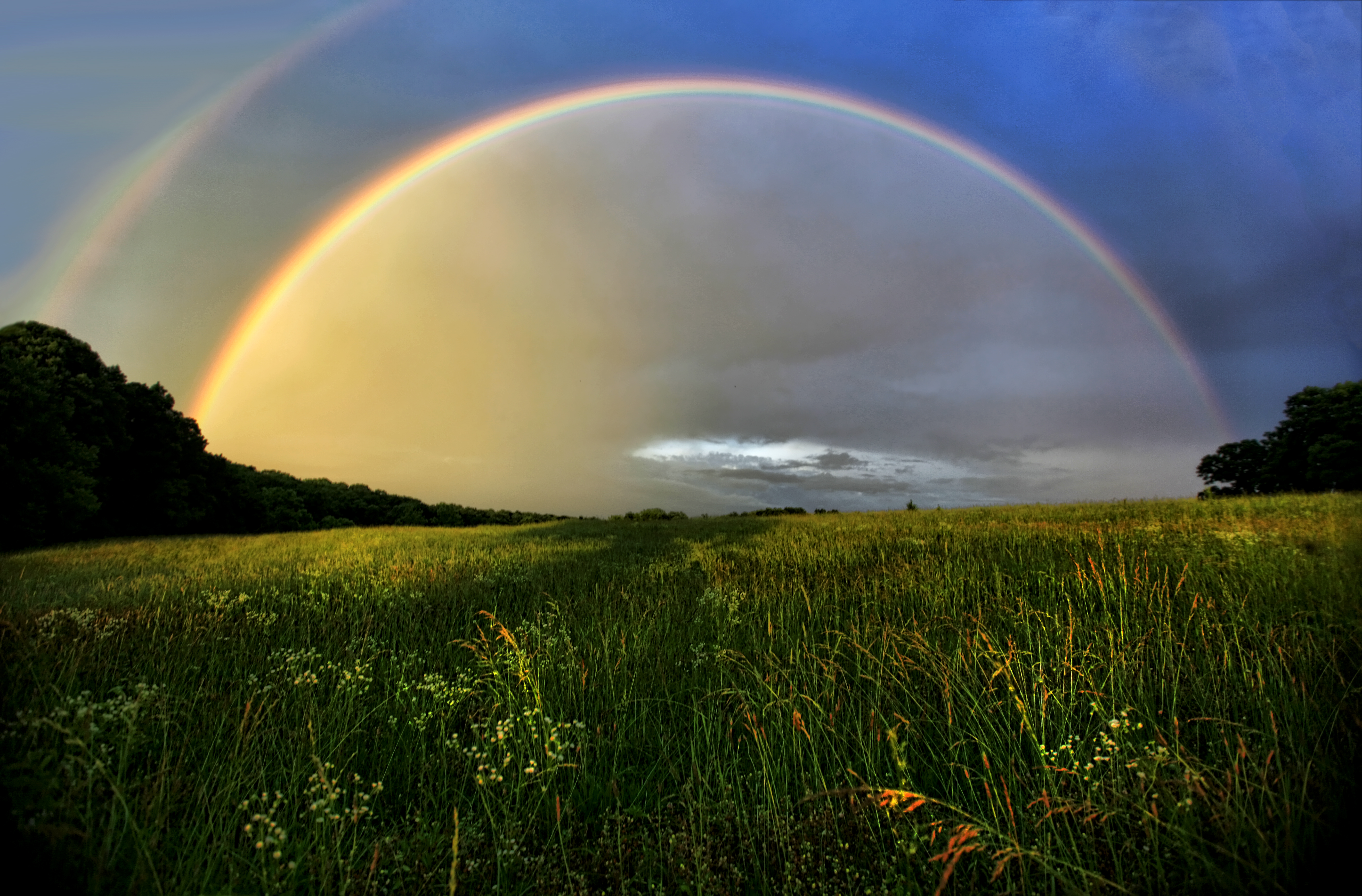
Fotos

Welcome to Ashland City
The Portal

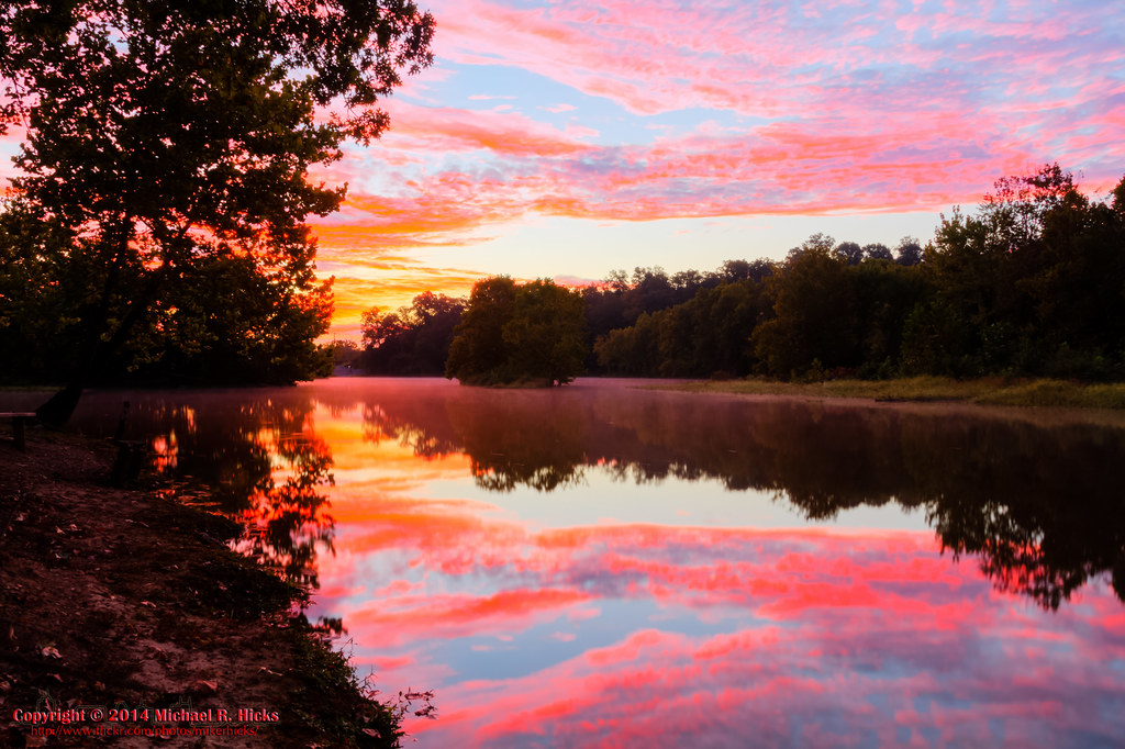
Cumberland River Bicentennial Trail Bridge near Sunset
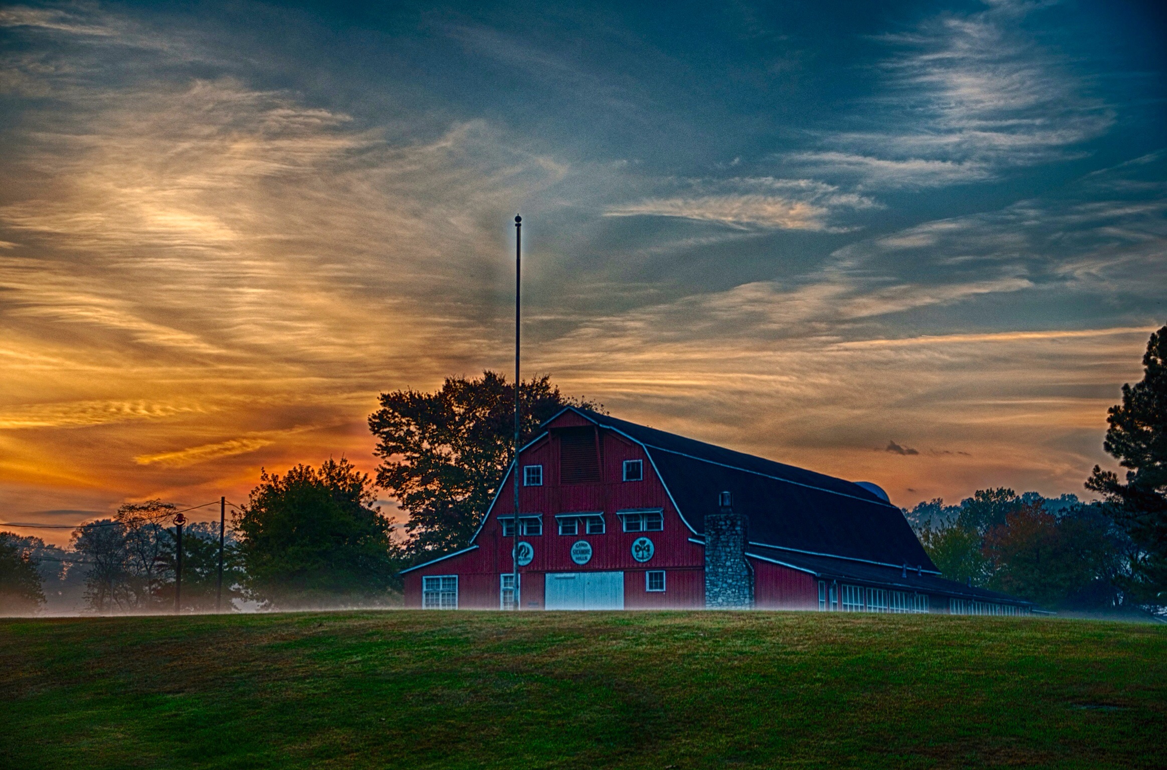
Sycamore Hills barn in the fog
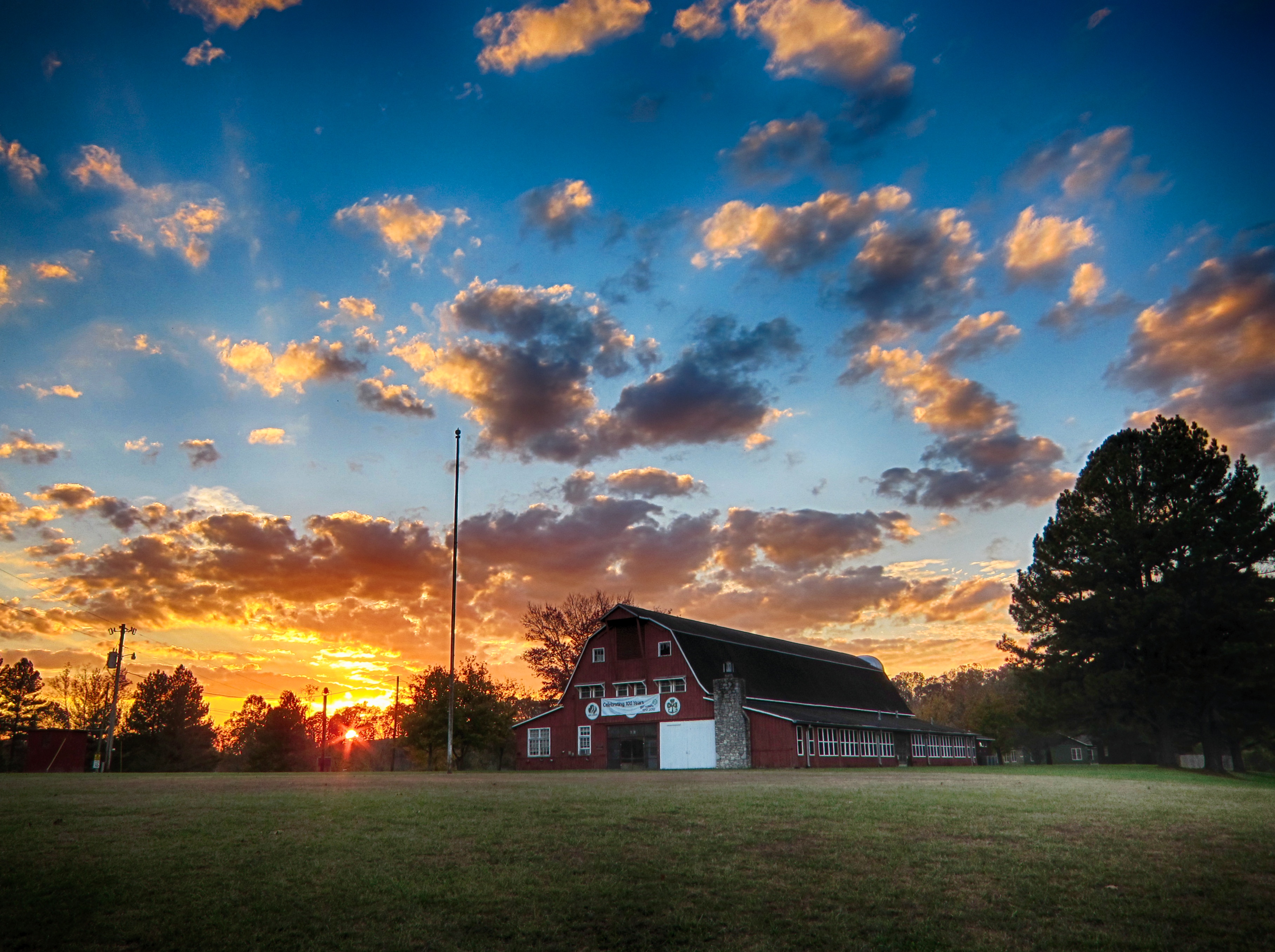
Sycamore Hills
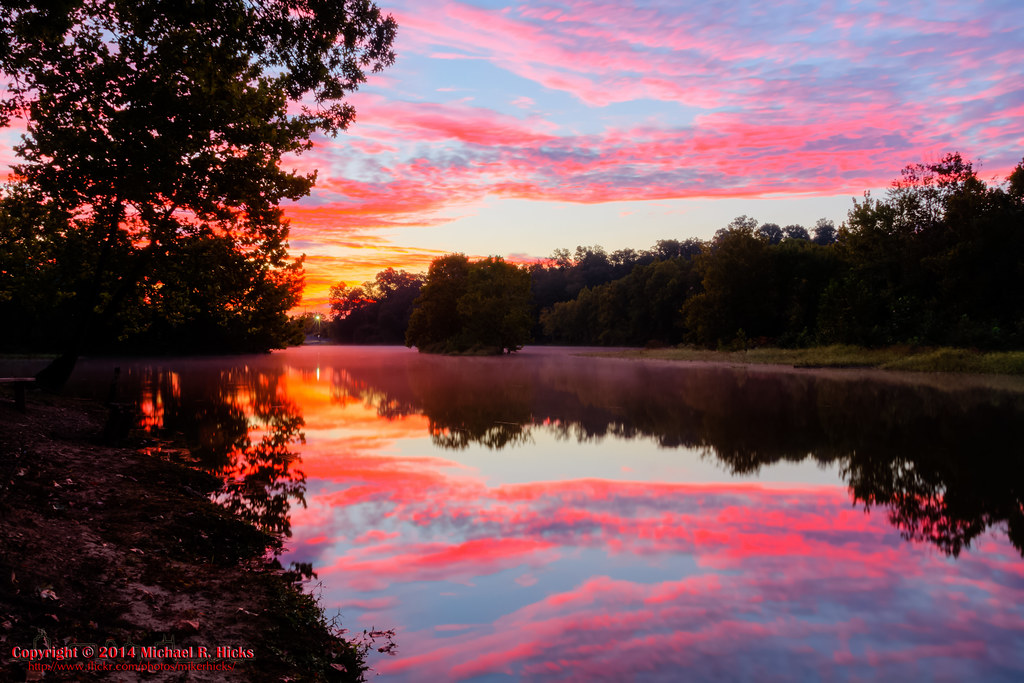
Sunrise - 3rd annual George McCabe Memorial Hike
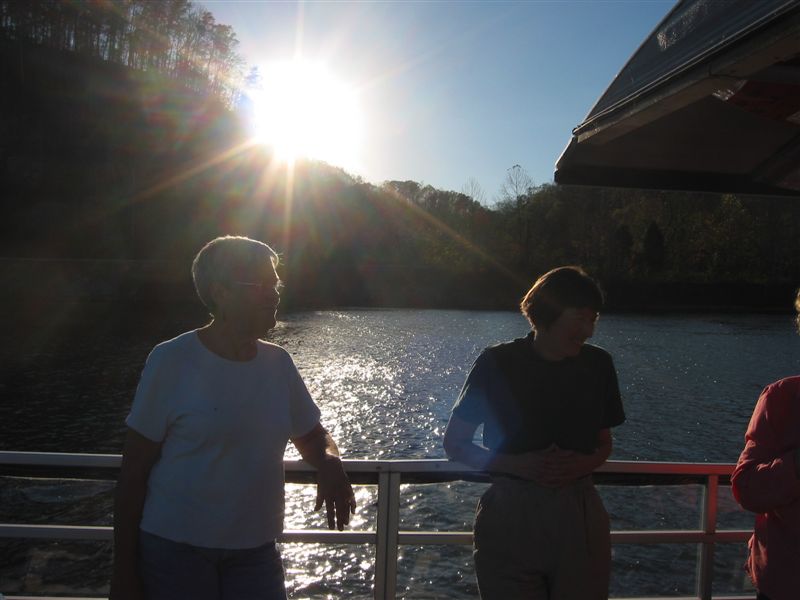
Rolling down the Road
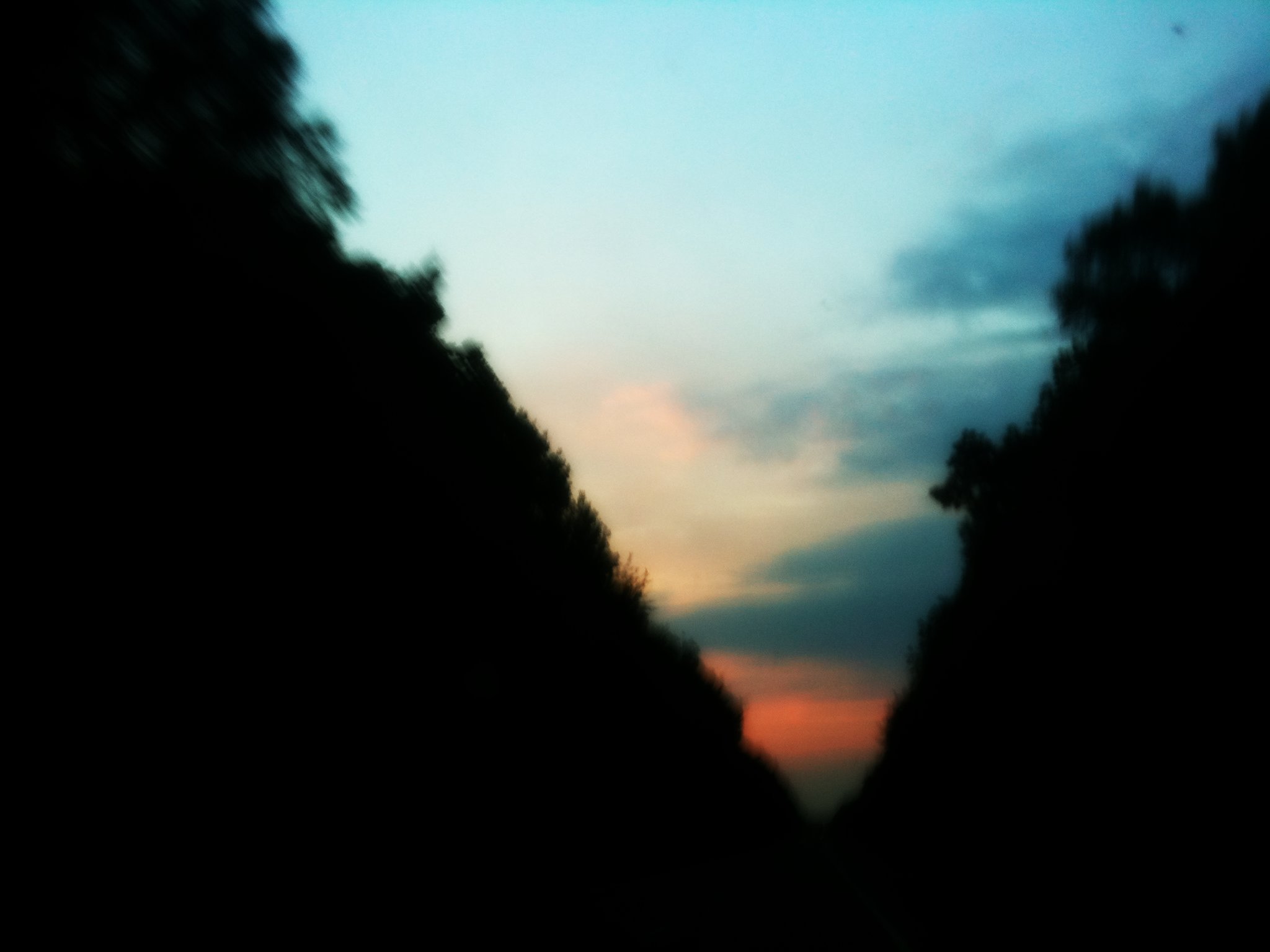
Sunset over Lois
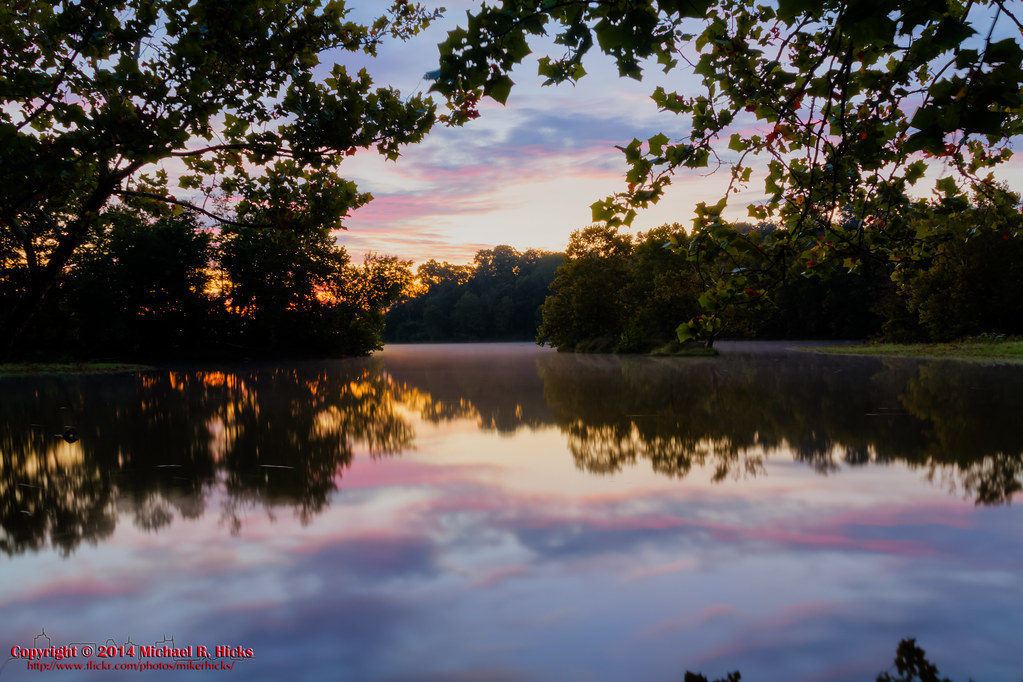
Sunrise - 3rd annual George McCabe Memorial Hike

Sunrise - 3rd annual George McCabe Memorial Hike
Sunrise - 3rd annual George McCabe Memorial Hike
Sunrise - 3rd annual George McCabe Memorial Hike
Mapa de Matlock Dr, Chapmansboro, TN, EE. UU.
Buscar otro lugar
Lugares cercanos
Greenbrier Rd, Ashland City, TN, EE. UU.
- Cheatham Dam Rd, Chapmansboro, TN, EE. UU.
Ben Collier Rd, Charlotte, TN, EE. UU.
Noah Reeves Rd, Ashland City, TN, EE. UU.
Chapmansboro, TN, EE. UU.
Shoals Landing, Ashland City, TN, EE. UU.
Ed Harris Rd, Ashland City, TN, EE. UU.
Ed Harris Rd, Ashland City, TN, EE. UU.
N Vine St, Ashland City, TN, EE. UU.
Ashland City, Tennessee, EE. UU.
Mosley Ferry Rd, Chapmansboro, TN, EE. UU.
Floy Ln, Ashland City, TN, EE. UU.
Sunrise Cir, Ashland City, TN, EE. UU.
River Rd, Ashland City, TN, EE. UU.
Old Clarksville Pike, Ashland City, TN, EE. UU.
Old Clarksville Pike, Ashland City, TN, EE. UU.
Little Marrowbone Rd, Ashland City, TN, EE. UU.
Abernathy Rd, Ashland City, TN, EE. UU.
TN-12, Ashland City, TN, EE. UU.
Old Clarksville Pike, Joelton, TN, EE. UU.
Búsquedas recientes
- Horas de salida y puesta de sol de S Layton Cir W, Layton, UT, EE. UU.
- Horas de salida y puesta de sol de Fairland Ave, Fairhope, AL, EE. UU.
- Horas de salida y puesta de sol de Sunset Dr, Richmond, VA, USA
- Horas de salida y puesta de sol de View Villa Apartments Hurghada, Al Ahyaa, Mubarak 7, Villa nr 2 Hurghada, قسم ثان الغردقة، محافظة ال
- Horas de salida y puesta de sol de Raión de Grodno, Provincia de Grodno, Bielorrusia
- Horas de salida y puesta de sol de Grodno, Provincia de Grodno, Bielorrusia
- Horas de salida y puesta de sol de Vydrino, Irkutsk Oblast, Russia
- Horas de salida y puesta de sol de Worksop S81 8GA, Reino Unido
- Horas de salida y puesta de sol de Cabo de Cruz, Boiro, La Coruña, España
- Horas de salida y puesta de sol de Japón, 山形県 置賜地方