Horas de salida y puesta de sol de Marshfield, Vermont, EE. UU.
Location: Estados Unidos > Vermont > Condado de Washington >
Zona horaria:
America/New_York
Hora local:
2024-04-29 02:27:18
Longitud:
-72.3539905
Latitud:
44.3508405
Salida de sol de hoy:
05:41:36 AM
Puesta de sol de hoy:
07:51:43 PM
La duración del día hoy:
14h 10m 7s
Salida de sol de mañana:
05:40:08 AM
Puesta de sol de mañana:
07:52:55 PM
La duración del día mañana:
14h 12m 47s
Mostrar todas las fechas
| Fecha | Salida de sol | Puesta de sol | Duración del día |
|---|---|---|---|
| 01/01/2024 | 07:25:16 AM | 04:21:04 PM | 8h 55m 48s |
| 02/01/2024 | 07:25:16 AM | 04:22:00 PM | 8h 56m 44s |
| 03/01/2024 | 07:25:14 AM | 04:22:57 PM | 8h 57m 43s |
| 04/01/2024 | 07:25:10 AM | 04:23:55 PM | 8h 58m 45s |
| 05/01/2024 | 07:25:03 AM | 04:24:56 PM | 8h 59m 53s |
| 06/01/2024 | 07:24:53 AM | 04:25:58 PM | 9h 1m 5s |
| 07/01/2024 | 07:24:41 AM | 04:27:01 PM | 9h 2m 20s |
| 08/01/2024 | 07:24:27 AM | 04:28:07 PM | 9h 3m 40s |
| 09/01/2024 | 07:24:10 AM | 04:29:13 PM | 9h 5m 3s |
| 10/01/2024 | 07:23:50 AM | 04:30:21 PM | 9h 6m 31s |
| 11/01/2024 | 07:23:28 AM | 04:31:31 PM | 9h 8m 3s |
| 12/01/2024 | 07:23:03 AM | 04:32:41 PM | 9h 9m 38s |
| 13/01/2024 | 07:22:36 AM | 04:33:53 PM | 9h 11m 17s |
| 14/01/2024 | 07:22:07 AM | 04:35:06 PM | 9h 12m 59s |
| 15/01/2024 | 07:21:35 AM | 04:36:20 PM | 9h 14m 45s |
| 16/01/2024 | 07:21:01 AM | 04:37:35 PM | 9h 16m 34s |
| 17/01/2024 | 07:20:24 AM | 04:38:51 PM | 9h 18m 27s |
| 18/01/2024 | 07:19:45 AM | 04:40:08 PM | 9h 20m 23s |
| 19/01/2024 | 07:19:04 AM | 04:41:26 PM | 9h 22m 22s |
| 20/01/2024 | 07:18:20 AM | 04:42:44 PM | 9h 24m 24s |
| 21/01/2024 | 07:17:35 AM | 04:44:03 PM | 9h 26m 28s |
| 22/01/2024 | 07:16:47 AM | 04:45:23 PM | 9h 28m 36s |
| 23/01/2024 | 07:15:57 AM | 04:46:44 PM | 9h 30m 47s |
| 24/01/2024 | 07:15:05 AM | 04:48:05 PM | 9h 33m 0s |
| 25/01/2024 | 07:14:10 AM | 04:49:26 PM | 9h 35m 16s |
| 26/01/2024 | 07:13:14 AM | 04:50:48 PM | 9h 37m 34s |
| 27/01/2024 | 07:12:16 AM | 04:52:11 PM | 9h 39m 55s |
| 28/01/2024 | 07:11:15 AM | 04:53:33 PM | 9h 42m 18s |
| 29/01/2024 | 07:10:13 AM | 04:54:56 PM | 9h 44m 43s |
| 30/01/2024 | 07:09:09 AM | 04:56:20 PM | 9h 47m 11s |
| 31/01/2024 | 07:08:03 AM | 04:57:43 PM | 9h 49m 40s |
| 01/02/2024 | 07:06:55 AM | 04:59:07 PM | 9h 52m 12s |
| 02/02/2024 | 07:05:46 AM | 05:00:31 PM | 9h 54m 45s |
| 03/02/2024 | 07:04:34 AM | 05:01:55 PM | 9h 57m 21s |
| 04/02/2024 | 07:03:21 AM | 05:03:19 PM | 9h 59m 58s |
| 05/02/2024 | 07:02:06 AM | 05:04:43 PM | 10h 2m 37s |
| 06/02/2024 | 07:00:50 AM | 05:06:07 PM | 10h 5m 17s |
| 07/02/2024 | 06:59:32 AM | 05:07:31 PM | 10h 7m 59s |
| 08/02/2024 | 06:58:13 AM | 05:08:55 PM | 10h 10m 42s |
| 09/02/2024 | 06:56:52 AM | 05:10:19 PM | 10h 13m 27s |
| 10/02/2024 | 06:55:30 AM | 05:11:43 PM | 10h 16m 13s |
| 11/02/2024 | 06:54:06 AM | 05:13:07 PM | 10h 19m 1s |
| 12/02/2024 | 06:52:41 AM | 05:14:30 PM | 10h 21m 49s |
| 13/02/2024 | 06:51:14 AM | 05:15:54 PM | 10h 24m 40s |
| 14/02/2024 | 06:49:46 AM | 05:17:17 PM | 10h 27m 31s |
| 15/02/2024 | 06:48:17 AM | 05:18:40 PM | 10h 30m 23s |
| 16/02/2024 | 06:46:47 AM | 05:20:03 PM | 10h 33m 16s |
| 17/02/2024 | 06:45:16 AM | 05:21:26 PM | 10h 36m 10s |
| 18/02/2024 | 06:43:43 AM | 05:22:48 PM | 10h 39m 5s |
| 19/02/2024 | 06:42:09 AM | 05:24:10 PM | 10h 42m 1s |
| 20/02/2024 | 06:40:35 AM | 05:25:32 PM | 10h 44m 57s |
| 21/02/2024 | 06:38:59 AM | 05:26:54 PM | 10h 47m 55s |
| 22/02/2024 | 06:37:22 AM | 05:28:15 PM | 10h 50m 53s |
| 23/02/2024 | 06:35:44 AM | 05:29:36 PM | 10h 53m 52s |
| 24/02/2024 | 06:34:06 AM | 05:30:57 PM | 10h 56m 51s |
| 25/02/2024 | 06:32:26 AM | 05:32:18 PM | 10h 59m 52s |
| 26/02/2024 | 06:30:46 AM | 05:33:38 PM | 11h 2m 52s |
| 27/02/2024 | 06:29:05 AM | 05:34:58 PM | 11h 5m 53s |
| 28/02/2024 | 06:27:23 AM | 05:36:17 PM | 11h 8m 54s |
| 29/02/2024 | 06:25:40 AM | 05:37:37 PM | 11h 11m 57s |
| 01/03/2024 | 06:23:56 AM | 05:38:56 PM | 11h 15m 0s |
| 02/03/2024 | 06:22:12 AM | 05:40:15 PM | 11h 18m 3s |
| 03/03/2024 | 06:20:28 AM | 05:41:33 PM | 11h 21m 5s |
| 04/03/2024 | 06:18:42 AM | 05:42:52 PM | 11h 24m 10s |
| 05/03/2024 | 06:16:56 AM | 05:44:10 PM | 11h 27m 14s |
| 06/03/2024 | 06:15:10 AM | 05:45:27 PM | 11h 30m 17s |
| 07/03/2024 | 06:13:23 AM | 05:46:45 PM | 11h 33m 22s |
| 08/03/2024 | 06:11:36 AM | 05:48:02 PM | 11h 36m 26s |
| 09/03/2024 | 06:09:48 AM | 05:49:19 PM | 11h 39m 31s |
| 10/03/2024 | 07:08:04 AM | 06:50:33 PM | 11h 42m 29s |
| 11/03/2024 | 07:06:16 AM | 06:51:49 PM | 11h 45m 33s |
| 12/03/2024 | 07:04:27 AM | 06:53:05 PM | 11h 48m 38s |
| 13/03/2024 | 07:02:37 AM | 06:54:21 PM | 11h 51m 44s |
| 14/03/2024 | 07:00:48 AM | 06:55:37 PM | 11h 54m 49s |
| 15/03/2024 | 06:58:58 AM | 06:56:53 PM | 11h 57m 55s |
| 16/03/2024 | 06:57:08 AM | 06:58:09 PM | 12h 1m 1s |
| 17/03/2024 | 06:55:18 AM | 06:59:24 PM | 12h 4m 6s |
| 18/03/2024 | 06:53:28 AM | 07:00:39 PM | 12h 7m 11s |
| 19/03/2024 | 06:51:37 AM | 07:01:54 PM | 12h 10m 17s |
| 20/03/2024 | 06:49:47 AM | 07:03:09 PM | 12h 13m 22s |
| 21/03/2024 | 06:47:56 AM | 07:04:24 PM | 12h 16m 28s |
| 22/03/2024 | 06:46:05 AM | 07:05:38 PM | 12h 19m 33s |
| 23/03/2024 | 06:44:15 AM | 07:06:53 PM | 12h 22m 38s |
| 24/03/2024 | 06:42:24 AM | 07:08:07 PM | 12h 25m 43s |
| 25/03/2024 | 06:40:34 AM | 07:09:21 PM | 12h 28m 47s |
| 26/03/2024 | 06:38:43 AM | 07:10:36 PM | 12h 31m 53s |
| 27/03/2024 | 06:36:53 AM | 07:11:50 PM | 12h 34m 57s |
| 28/03/2024 | 06:35:03 AM | 07:13:04 PM | 12h 38m 1s |
| 29/03/2024 | 06:33:13 AM | 07:14:18 PM | 12h 41m 5s |
| 30/03/2024 | 06:31:23 AM | 07:15:32 PM | 12h 44m 9s |
| 31/03/2024 | 06:29:34 AM | 07:16:46 PM | 12h 47m 12s |
| 01/04/2024 | 06:27:45 AM | 07:17:59 PM | 12h 50m 14s |
| 02/04/2024 | 06:25:56 AM | 07:19:13 PM | 12h 53m 17s |
| 03/04/2024 | 06:24:07 AM | 07:20:27 PM | 12h 56m 20s |
| 04/04/2024 | 06:22:19 AM | 07:21:41 PM | 12h 59m 22s |
| 05/04/2024 | 06:20:31 AM | 07:22:55 PM | 13h 2m 24s |
| 06/04/2024 | 06:18:44 AM | 07:24:08 PM | 13h 5m 24s |
| 07/04/2024 | 06:16:57 AM | 07:25:22 PM | 13h 8m 25s |
| 08/04/2024 | 06:15:11 AM | 07:26:36 PM | 13h 11m 25s |
| 09/04/2024 | 06:13:25 AM | 07:27:49 PM | 13h 14m 24s |
| 10/04/2024 | 06:11:40 AM | 07:29:03 PM | 13h 17m 23s |
| 11/04/2024 | 06:09:55 AM | 07:30:17 PM | 13h 20m 22s |
| 12/04/2024 | 06:08:11 AM | 07:31:31 PM | 13h 23m 20s |
| 13/04/2024 | 06:06:28 AM | 07:32:44 PM | 13h 26m 16s |
| 14/04/2024 | 06:04:45 AM | 07:33:58 PM | 13h 29m 13s |
| 15/04/2024 | 06:03:03 AM | 07:35:12 PM | 13h 32m 9s |
| 16/04/2024 | 06:01:22 AM | 07:36:25 PM | 13h 35m 3s |
| 17/04/2024 | 05:59:42 AM | 07:37:39 PM | 13h 37m 57s |
| 18/04/2024 | 05:58:02 AM | 07:38:53 PM | 13h 40m 51s |
| 19/04/2024 | 05:56:23 AM | 07:40:06 PM | 13h 43m 43s |
| 20/04/2024 | 05:54:46 AM | 07:41:20 PM | 13h 46m 34s |
| 21/04/2024 | 05:53:09 AM | 07:42:33 PM | 13h 49m 24s |
| 22/04/2024 | 05:51:33 AM | 07:43:47 PM | 13h 52m 14s |
| 23/04/2024 | 05:49:58 AM | 07:45:00 PM | 13h 55m 2s |
| 24/04/2024 | 05:48:24 AM | 07:46:14 PM | 13h 57m 50s |
| 25/04/2024 | 05:46:51 AM | 07:47:27 PM | 14h 0m 36s |
| 26/04/2024 | 05:45:20 AM | 07:48:40 PM | 14h 3m 20s |
| 27/04/2024 | 05:43:49 AM | 07:49:53 PM | 14h 6m 4s |
| 28/04/2024 | 05:42:20 AM | 07:51:06 PM | 14h 8m 46s |
| 29/04/2024 | 05:40:52 AM | 07:52:19 PM | 14h 11m 27s |
| 30/04/2024 | 05:39:25 AM | 07:53:31 PM | 14h 14m 6s |
| 01/05/2024 | 05:37:59 AM | 07:54:44 PM | 14h 16m 45s |
| 02/05/2024 | 05:36:35 AM | 07:55:56 PM | 14h 19m 21s |
| 03/05/2024 | 05:35:12 AM | 07:57:08 PM | 14h 21m 56s |
| 04/05/2024 | 05:33:51 AM | 07:58:19 PM | 14h 24m 28s |
| 05/05/2024 | 05:32:30 AM | 07:59:31 PM | 14h 27m 1s |
| 06/05/2024 | 05:31:12 AM | 08:00:42 PM | 14h 29m 30s |
| 07/05/2024 | 05:29:55 AM | 08:01:52 PM | 14h 31m 57s |
| 08/05/2024 | 05:28:39 AM | 08:03:03 PM | 14h 34m 24s |
| 09/05/2024 | 05:27:25 AM | 08:04:12 PM | 14h 36m 47s |
| 10/05/2024 | 05:26:13 AM | 08:05:22 PM | 14h 39m 9s |
| 11/05/2024 | 05:25:02 AM | 08:06:31 PM | 14h 41m 29s |
| 12/05/2024 | 05:23:53 AM | 08:07:39 PM | 14h 43m 46s |
| 13/05/2024 | 05:22:45 AM | 08:08:47 PM | 14h 46m 2s |
| 14/05/2024 | 05:21:39 AM | 08:09:54 PM | 14h 48m 15s |
| 15/05/2024 | 05:20:36 AM | 08:11:00 PM | 14h 50m 24s |
| 16/05/2024 | 05:19:33 AM | 08:12:06 PM | 14h 52m 33s |
| 17/05/2024 | 05:18:33 AM | 08:13:11 PM | 14h 54m 38s |
| 18/05/2024 | 05:17:35 AM | 08:14:16 PM | 14h 56m 41s |
| 19/05/2024 | 05:16:38 AM | 08:15:19 PM | 14h 58m 41s |
| 20/05/2024 | 05:15:44 AM | 08:16:22 PM | 15h 0m 38s |
| 21/05/2024 | 05:14:51 AM | 08:17:24 PM | 15h 2m 33s |
| 22/05/2024 | 05:14:00 AM | 08:18:24 PM | 15h 4m 24s |
| 23/05/2024 | 05:13:12 AM | 08:19:24 PM | 15h 6m 12s |
| 24/05/2024 | 05:12:25 AM | 08:20:23 PM | 15h 7m 58s |
| 25/05/2024 | 05:11:41 AM | 08:21:20 PM | 15h 9m 39s |
| 26/05/2024 | 05:10:58 AM | 08:22:17 PM | 15h 11m 19s |
| 27/05/2024 | 05:10:18 AM | 08:23:12 PM | 15h 12m 54s |
| 28/05/2024 | 05:09:40 AM | 08:24:06 PM | 15h 14m 26s |
| 29/05/2024 | 05:09:04 AM | 08:24:59 PM | 15h 15m 55s |
| 30/05/2024 | 05:08:30 AM | 08:25:51 PM | 15h 17m 21s |
| 31/05/2024 | 05:07:58 AM | 08:26:41 PM | 15h 18m 43s |
| 01/06/2024 | 05:07:29 AM | 08:27:29 PM | 15h 20m 0s |
| 02/06/2024 | 05:07:02 AM | 08:28:16 PM | 15h 21m 14s |
| 03/06/2024 | 05:06:37 AM | 08:29:02 PM | 15h 22m 25s |
| 04/06/2024 | 05:06:14 AM | 08:29:46 PM | 15h 23m 32s |
| 05/06/2024 | 05:05:54 AM | 08:30:28 PM | 15h 24m 34s |
| 06/06/2024 | 05:05:36 AM | 08:31:09 PM | 15h 25m 33s |
| 07/06/2024 | 05:05:20 AM | 08:31:48 PM | 15h 26m 28s |
| 08/06/2024 | 05:05:06 AM | 08:32:25 PM | 15h 27m 19s |
| 09/06/2024 | 05:04:55 AM | 08:33:00 PM | 15h 28m 5s |
| 10/06/2024 | 05:04:45 AM | 08:33:34 PM | 15h 28m 49s |
| 11/06/2024 | 05:04:39 AM | 08:34:06 PM | 15h 29m 27s |
| 12/06/2024 | 05:04:34 AM | 08:34:35 PM | 15h 30m 1s |
| 13/06/2024 | 05:04:32 AM | 08:35:03 PM | 15h 30m 31s |
| 14/06/2024 | 05:04:32 AM | 08:35:29 PM | 15h 30m 57s |
| 15/06/2024 | 05:04:34 AM | 08:35:53 PM | 15h 31m 19s |
| 16/06/2024 | 05:04:38 AM | 08:36:14 PM | 15h 31m 36s |
| 17/06/2024 | 05:04:45 AM | 08:36:34 PM | 15h 31m 49s |
| 18/06/2024 | 05:04:54 AM | 08:36:51 PM | 15h 31m 57s |
| 19/06/2024 | 05:05:05 AM | 08:37:06 PM | 15h 32m 1s |
| 20/06/2024 | 05:05:18 AM | 08:37:19 PM | 15h 32m 1s |
| 21/06/2024 | 05:05:33 AM | 08:37:30 PM | 15h 31m 57s |
| 22/06/2024 | 05:05:50 AM | 08:37:39 PM | 15h 31m 49s |
| 23/06/2024 | 05:06:10 AM | 08:37:45 PM | 15h 31m 35s |
| 24/06/2024 | 05:06:31 AM | 08:37:49 PM | 15h 31m 18s |
| 25/06/2024 | 05:06:54 AM | 08:37:51 PM | 15h 30m 57s |
| 26/06/2024 | 05:07:20 AM | 08:37:51 PM | 15h 30m 31s |
| 27/06/2024 | 05:07:47 AM | 08:37:48 PM | 15h 30m 1s |
| 28/06/2024 | 05:08:16 AM | 08:37:43 PM | 15h 29m 27s |
| 29/06/2024 | 05:08:47 AM | 08:37:35 PM | 15h 28m 48s |
| 30/06/2024 | 05:09:20 AM | 08:37:26 PM | 15h 28m 6s |
| 01/07/2024 | 05:09:55 AM | 08:37:14 PM | 15h 27m 19s |
| 02/07/2024 | 05:10:31 AM | 08:36:59 PM | 15h 26m 28s |
| 03/07/2024 | 05:11:09 AM | 08:36:43 PM | 15h 25m 34s |
| 04/07/2024 | 05:11:49 AM | 08:36:24 PM | 15h 24m 35s |
| 05/07/2024 | 05:12:30 AM | 08:36:02 PM | 15h 23m 32s |
| 06/07/2024 | 05:13:13 AM | 08:35:39 PM | 15h 22m 26s |
| 07/07/2024 | 05:13:57 AM | 08:35:13 PM | 15h 21m 16s |
| 08/07/2024 | 05:14:43 AM | 08:34:45 PM | 15h 20m 2s |
| 09/07/2024 | 05:15:30 AM | 08:34:15 PM | 15h 18m 45s |
| 10/07/2024 | 05:16:19 AM | 08:33:42 PM | 15h 17m 23s |
| 11/07/2024 | 05:17:08 AM | 08:33:07 PM | 15h 15m 59s |
| 12/07/2024 | 05:18:00 AM | 08:32:30 PM | 15h 14m 30s |
| 13/07/2024 | 05:18:52 AM | 08:31:51 PM | 15h 12m 59s |
| 14/07/2024 | 05:19:45 AM | 08:31:10 PM | 15h 11m 25s |
| 15/07/2024 | 05:20:40 AM | 08:30:26 PM | 15h 9m 46s |
| 16/07/2024 | 05:21:36 AM | 08:29:40 PM | 15h 8m 4s |
| 17/07/2024 | 05:22:32 AM | 08:28:53 PM | 15h 6m 21s |
| 18/07/2024 | 05:23:30 AM | 08:28:03 PM | 15h 4m 33s |
| 19/07/2024 | 05:24:28 AM | 08:27:11 PM | 15h 2m 43s |
| 20/07/2024 | 05:25:28 AM | 08:26:17 PM | 15h 0m 49s |
| 21/07/2024 | 05:26:28 AM | 08:25:22 PM | 14h 58m 54s |
| 22/07/2024 | 05:27:29 AM | 08:24:24 PM | 14h 56m 55s |
| 23/07/2024 | 05:28:31 AM | 08:23:24 PM | 14h 54m 53s |
| 24/07/2024 | 05:29:33 AM | 08:22:23 PM | 14h 52m 50s |
| 25/07/2024 | 05:30:37 AM | 08:21:19 PM | 14h 50m 42s |
| 26/07/2024 | 05:31:40 AM | 08:20:14 PM | 14h 48m 34s |
| 27/07/2024 | 05:32:45 AM | 08:19:07 PM | 14h 46m 22s |
| 28/07/2024 | 05:33:50 AM | 08:17:59 PM | 14h 44m 9s |
| 29/07/2024 | 05:34:55 AM | 08:16:48 PM | 14h 41m 53s |
| 30/07/2024 | 05:36:01 AM | 08:15:36 PM | 14h 39m 35s |
| 31/07/2024 | 05:37:07 AM | 08:14:22 PM | 14h 37m 15s |
| 01/08/2024 | 05:38:14 AM | 08:13:07 PM | 14h 34m 53s |
| 02/08/2024 | 05:39:21 AM | 08:11:50 PM | 14h 32m 29s |
| 03/08/2024 | 05:40:28 AM | 08:10:31 PM | 14h 30m 3s |
| 04/08/2024 | 05:41:36 AM | 08:09:11 PM | 14h 27m 35s |
| 05/08/2024 | 05:42:44 AM | 08:07:50 PM | 14h 25m 6s |
| 06/08/2024 | 05:43:52 AM | 08:06:27 PM | 14h 22m 35s |
| 07/08/2024 | 05:45:00 AM | 08:05:03 PM | 14h 20m 3s |
| 08/08/2024 | 05:46:09 AM | 08:03:37 PM | 14h 17m 28s |
| 09/08/2024 | 05:47:18 AM | 08:02:10 PM | 14h 14m 52s |
| 10/08/2024 | 05:48:26 AM | 08:00:42 PM | 14h 12m 16s |
| 11/08/2024 | 05:49:35 AM | 07:59:13 PM | 14h 9m 38s |
| 12/08/2024 | 05:50:45 AM | 07:57:42 PM | 14h 6m 57s |
| 13/08/2024 | 05:51:54 AM | 07:56:10 PM | 14h 4m 16s |
| 14/08/2024 | 05:53:03 AM | 07:54:37 PM | 14h 1m 34s |
| 15/08/2024 | 05:54:13 AM | 07:53:03 PM | 13h 58m 50s |
| 16/08/2024 | 05:55:22 AM | 07:51:27 PM | 13h 56m 5s |
| 17/08/2024 | 05:56:31 AM | 07:49:51 PM | 13h 53m 20s |
| 18/08/2024 | 05:57:41 AM | 07:48:14 PM | 13h 50m 33s |
| 19/08/2024 | 05:58:50 AM | 07:46:36 PM | 13h 47m 46s |
| 20/08/2024 | 06:00:00 AM | 07:44:56 PM | 13h 44m 56s |
| 21/08/2024 | 06:01:09 AM | 07:43:16 PM | 13h 42m 7s |
| 22/08/2024 | 06:02:19 AM | 07:41:35 PM | 13h 39m 16s |
| 23/08/2024 | 06:03:28 AM | 07:39:53 PM | 13h 36m 25s |
| 24/08/2024 | 06:04:38 AM | 07:38:11 PM | 13h 33m 33s |
| 25/08/2024 | 06:05:47 AM | 07:36:27 PM | 13h 30m 40s |
| 26/08/2024 | 06:06:57 AM | 07:34:43 PM | 13h 27m 46s |
| 27/08/2024 | 06:08:06 AM | 07:32:58 PM | 13h 24m 52s |
| 28/08/2024 | 06:09:15 AM | 07:31:13 PM | 13h 21m 58s |
| 29/08/2024 | 06:10:25 AM | 07:29:27 PM | 13h 19m 2s |
| 30/08/2024 | 06:11:34 AM | 07:27:40 PM | 13h 16m 6s |
| 31/08/2024 | 06:12:43 AM | 07:25:53 PM | 13h 13m 10s |
| 01/09/2024 | 06:13:52 AM | 07:24:05 PM | 13h 10m 13s |
| 02/09/2024 | 06:15:02 AM | 07:22:16 PM | 13h 7m 14s |
| 03/09/2024 | 06:16:11 AM | 07:20:27 PM | 13h 4m 16s |
| 04/09/2024 | 06:17:20 AM | 07:18:38 PM | 13h 1m 18s |
| 05/09/2024 | 06:18:29 AM | 07:16:48 PM | 12h 58m 19s |
| 06/09/2024 | 06:19:38 AM | 07:14:58 PM | 12h 55m 20s |
| 07/09/2024 | 06:20:47 AM | 07:13:07 PM | 12h 52m 20s |
| 08/09/2024 | 06:21:57 AM | 07:11:16 PM | 12h 49m 19s |
| 09/09/2024 | 06:23:06 AM | 07:09:25 PM | 12h 46m 19s |
| 10/09/2024 | 06:24:15 AM | 07:07:34 PM | 12h 43m 19s |
| 11/09/2024 | 06:25:24 AM | 07:05:42 PM | 12h 40m 18s |
| 12/09/2024 | 06:26:34 AM | 07:03:50 PM | 12h 37m 16s |
| 13/09/2024 | 06:27:43 AM | 07:01:58 PM | 12h 34m 15s |
| 14/09/2024 | 06:28:52 AM | 07:00:06 PM | 12h 31m 14s |
| 15/09/2024 | 06:30:02 AM | 06:58:13 PM | 12h 28m 11s |
| 16/09/2024 | 06:31:11 AM | 06:56:21 PM | 12h 25m 10s |
| 17/09/2024 | 06:32:21 AM | 06:54:29 PM | 12h 22m 8s |
| 18/09/2024 | 06:33:31 AM | 06:52:36 PM | 12h 19m 5s |
| 19/09/2024 | 06:34:41 AM | 06:50:43 PM | 12h 16m 2s |
| 20/09/2024 | 06:35:51 AM | 06:48:51 PM | 12h 13m 0s |
| 21/09/2024 | 06:37:01 AM | 06:46:58 PM | 12h 9m 57s |
| 22/09/2024 | 06:38:11 AM | 06:45:06 PM | 12h 6m 55s |
| 23/09/2024 | 06:39:21 AM | 06:43:14 PM | 12h 3m 53s |
| 24/09/2024 | 06:40:32 AM | 06:41:22 PM | 12h 0m 50s |
| 25/09/2024 | 06:41:43 AM | 06:39:30 PM | 11h 57m 47s |
| 26/09/2024 | 06:42:54 AM | 06:37:38 PM | 11h 54m 44s |
| 27/09/2024 | 06:44:05 AM | 06:35:47 PM | 11h 51m 42s |
| 28/09/2024 | 06:45:16 AM | 06:33:56 PM | 11h 48m 40s |
| 29/09/2024 | 06:46:28 AM | 06:32:05 PM | 11h 45m 37s |
| 30/09/2024 | 06:47:39 AM | 06:30:14 PM | 11h 42m 35s |
| 01/10/2024 | 06:48:51 AM | 06:28:24 PM | 11h 39m 33s |
| 02/10/2024 | 06:50:04 AM | 06:26:34 PM | 11h 36m 30s |
| 03/10/2024 | 06:51:16 AM | 06:24:45 PM | 11h 33m 29s |
| 04/10/2024 | 06:52:29 AM | 06:22:56 PM | 11h 30m 27s |
| 05/10/2024 | 06:53:42 AM | 06:21:08 PM | 11h 27m 26s |
| 06/10/2024 | 06:54:55 AM | 06:19:20 PM | 11h 24m 25s |
| 07/10/2024 | 06:56:09 AM | 06:17:32 PM | 11h 21m 23s |
| 08/10/2024 | 06:57:23 AM | 06:15:46 PM | 11h 18m 23s |
| 09/10/2024 | 06:58:37 AM | 06:14:00 PM | 11h 15m 23s |
| 10/10/2024 | 06:59:51 AM | 06:12:14 PM | 11h 12m 23s |
| 11/10/2024 | 07:01:06 AM | 06:10:29 PM | 11h 9m 23s |
| 12/10/2024 | 07:02:21 AM | 06:08:45 PM | 11h 6m 24s |
| 13/10/2024 | 07:03:37 AM | 06:07:02 PM | 11h 3m 25s |
| 14/10/2024 | 07:04:52 AM | 06:05:20 PM | 11h 0m 28s |
| 15/10/2024 | 07:06:08 AM | 06:03:38 PM | 10h 57m 30s |
| 16/10/2024 | 07:07:25 AM | 06:01:57 PM | 10h 54m 32s |
| 17/10/2024 | 07:08:41 AM | 06:00:17 PM | 10h 51m 36s |
| 18/10/2024 | 07:09:58 AM | 05:58:38 PM | 10h 48m 40s |
| 19/10/2024 | 07:11:16 AM | 05:57:01 PM | 10h 45m 45s |
| 20/10/2024 | 07:12:33 AM | 05:55:24 PM | 10h 42m 51s |
| 21/10/2024 | 07:13:51 AM | 05:53:48 PM | 10h 39m 57s |
| 22/10/2024 | 07:15:09 AM | 05:52:13 PM | 10h 37m 4s |
| 23/10/2024 | 07:16:28 AM | 05:50:39 PM | 10h 34m 11s |
| 24/10/2024 | 07:17:46 AM | 05:49:07 PM | 10h 31m 21s |
| 25/10/2024 | 07:19:05 AM | 05:47:35 PM | 10h 28m 30s |
| 26/10/2024 | 07:20:24 AM | 05:46:05 PM | 10h 25m 41s |
| 27/10/2024 | 07:21:44 AM | 05:44:36 PM | 10h 22m 52s |
| 28/10/2024 | 07:23:03 AM | 05:43:09 PM | 10h 20m 6s |
| 29/10/2024 | 07:24:23 AM | 05:41:43 PM | 10h 17m 20s |
| 30/10/2024 | 07:25:43 AM | 05:40:18 PM | 10h 14m 35s |
| 31/10/2024 | 07:27:03 AM | 05:38:54 PM | 10h 11m 51s |
| 01/11/2024 | 07:28:23 AM | 05:37:33 PM | 10h 9m 10s |
| 02/11/2024 | 07:29:44 AM | 05:36:12 PM | 10h 6m 28s |
| 03/11/2024 | 06:31:08 AM | 04:34:50 PM | 10h 3m 42s |
| 04/11/2024 | 06:32:28 AM | 04:33:33 PM | 10h 1m 5s |
| 05/11/2024 | 06:33:49 AM | 04:32:17 PM | 9h 58m 28s |
| 06/11/2024 | 06:35:09 AM | 04:31:04 PM | 9h 55m 55s |
| 07/11/2024 | 06:36:30 AM | 04:29:51 PM | 9h 53m 21s |
| 08/11/2024 | 06:37:50 AM | 04:28:41 PM | 9h 50m 51s |
| 09/11/2024 | 06:39:11 AM | 04:27:33 PM | 9h 48m 22s |
| 10/11/2024 | 06:40:31 AM | 04:26:26 PM | 9h 45m 55s |
| 11/11/2024 | 06:41:51 AM | 04:25:21 PM | 9h 43m 30s |
| 12/11/2024 | 06:43:11 AM | 04:24:18 PM | 9h 41m 7s |
| 13/11/2024 | 06:44:31 AM | 04:23:17 PM | 9h 38m 46s |
| 14/11/2024 | 06:45:50 AM | 04:22:18 PM | 9h 36m 28s |
| 15/11/2024 | 06:47:09 AM | 04:21:21 PM | 9h 34m 12s |
| 16/11/2024 | 06:48:27 AM | 04:20:26 PM | 9h 31m 59s |
| 17/11/2024 | 06:49:45 AM | 04:19:33 PM | 9h 29m 48s |
| 18/11/2024 | 06:51:03 AM | 04:18:43 PM | 9h 27m 40s |
| 19/11/2024 | 06:52:20 AM | 04:17:54 PM | 9h 25m 34s |
| 20/11/2024 | 06:53:36 AM | 04:17:08 PM | 9h 23m 32s |
| 21/11/2024 | 06:54:52 AM | 04:16:24 PM | 9h 21m 32s |
| 22/11/2024 | 06:56:07 AM | 04:15:42 PM | 9h 19m 35s |
| 23/11/2024 | 06:57:22 AM | 04:15:03 PM | 9h 17m 41s |
| 24/11/2024 | 06:58:35 AM | 04:14:26 PM | 9h 15m 51s |
| 25/11/2024 | 06:59:48 AM | 04:13:51 PM | 9h 14m 3s |
| 26/11/2024 | 07:00:59 AM | 04:13:19 PM | 9h 12m 20s |
| 27/11/2024 | 07:02:10 AM | 04:12:49 PM | 9h 10m 39s |
| 28/11/2024 | 07:03:19 AM | 04:12:22 PM | 9h 9m 3s |
| 29/11/2024 | 07:04:28 AM | 04:11:57 PM | 9h 7m 29s |
| 30/11/2024 | 07:05:35 AM | 04:11:34 PM | 9h 5m 59s |
| 01/12/2024 | 07:06:41 AM | 04:11:14 PM | 9h 4m 33s |
| 02/12/2024 | 07:07:46 AM | 04:10:57 PM | 9h 3m 11s |
| 03/12/2024 | 07:08:49 AM | 04:10:42 PM | 9h 1m 53s |
| 04/12/2024 | 07:09:51 AM | 04:10:30 PM | 9h 0m 39s |
| 05/12/2024 | 07:10:51 AM | 04:10:21 PM | 8h 59m 30s |
| 06/12/2024 | 07:11:50 AM | 04:10:14 PM | 8h 58m 24s |
| 07/12/2024 | 07:12:47 AM | 04:10:09 PM | 8h 57m 22s |
| 08/12/2024 | 07:13:42 AM | 04:10:07 PM | 8h 56m 25s |
| 09/12/2024 | 07:14:36 AM | 04:10:08 PM | 8h 55m 32s |
| 10/12/2024 | 07:15:28 AM | 04:10:11 PM | 8h 54m 43s |
| 11/12/2024 | 07:16:18 AM | 04:10:17 PM | 8h 53m 59s |
| 12/12/2024 | 07:17:06 AM | 04:10:26 PM | 8h 53m 20s |
| 13/12/2024 | 07:17:52 AM | 04:10:37 PM | 8h 52m 45s |
| 14/12/2024 | 07:18:36 AM | 04:10:51 PM | 8h 52m 15s |
| 15/12/2024 | 07:19:18 AM | 04:11:07 PM | 8h 51m 49s |
| 16/12/2024 | 07:19:58 AM | 04:11:26 PM | 8h 51m 28s |
| 17/12/2024 | 07:20:35 AM | 04:11:47 PM | 8h 51m 12s |
| 18/12/2024 | 07:21:11 AM | 04:12:11 PM | 8h 51m 0s |
| 19/12/2024 | 07:21:44 AM | 04:12:37 PM | 8h 50m 53s |
| 20/12/2024 | 07:22:15 AM | 04:13:06 PM | 8h 50m 51s |
| 21/12/2024 | 07:22:43 AM | 04:13:37 PM | 8h 50m 54s |
| 22/12/2024 | 07:23:10 AM | 04:14:11 PM | 8h 51m 1s |
| 23/12/2024 | 07:23:33 AM | 04:14:46 PM | 8h 51m 13s |
| 24/12/2024 | 07:23:55 AM | 04:15:24 PM | 8h 51m 29s |
| 25/12/2024 | 07:24:14 AM | 04:16:05 PM | 8h 51m 51s |
| 26/12/2024 | 07:24:30 AM | 04:16:47 PM | 8h 52m 17s |
| 27/12/2024 | 07:24:44 AM | 04:17:32 PM | 8h 52m 48s |
| 28/12/2024 | 07:24:56 AM | 04:18:19 PM | 8h 53m 23s |
| 29/12/2024 | 07:25:05 AM | 04:19:08 PM | 8h 54m 3s |
| 30/12/2024 | 07:25:11 AM | 04:19:58 PM | 8h 54m 47s |
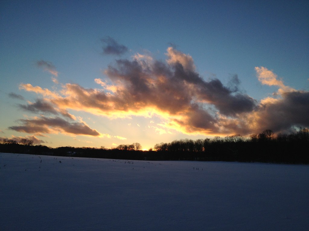
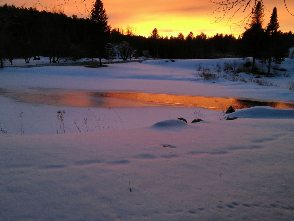
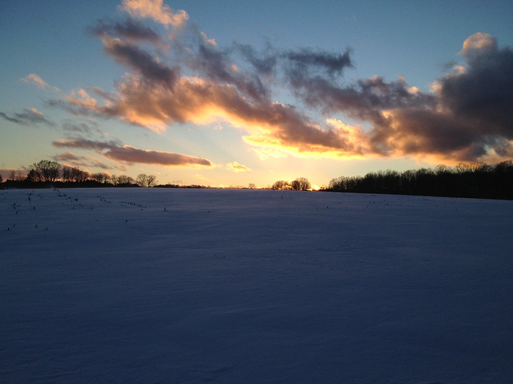
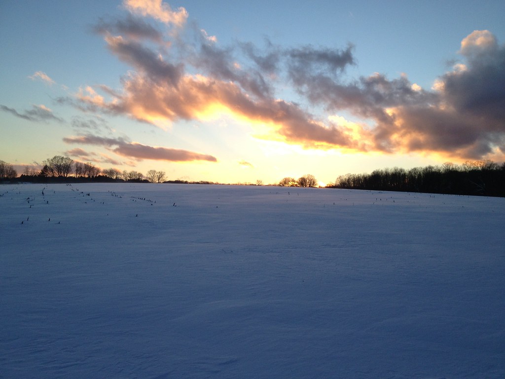
Fotos

Autumn on the Center Road
New Year's Snowshoe
March 2013

March 2013

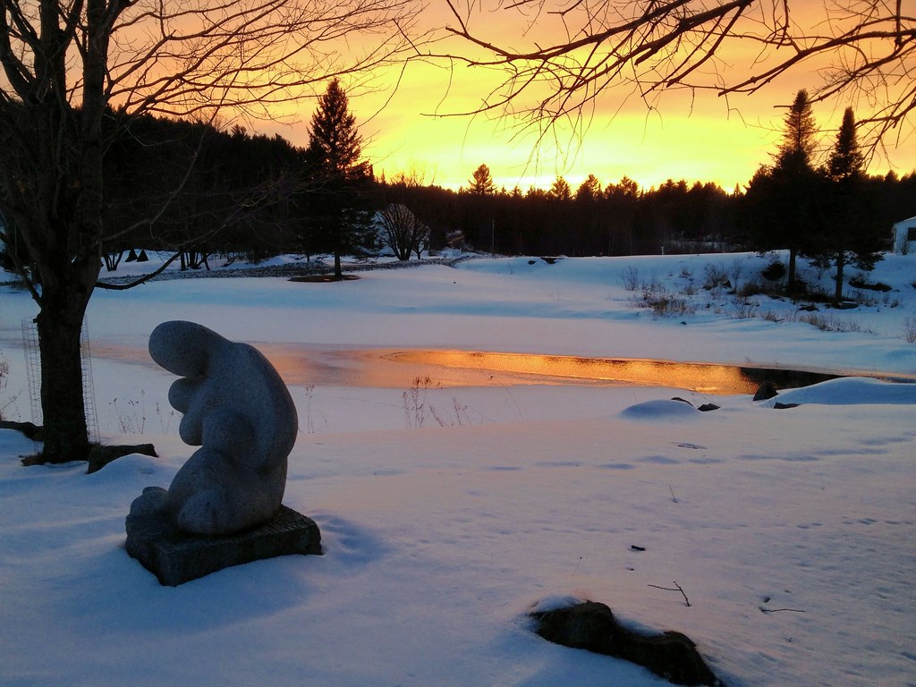
Winter sunset on Kettle Pond

Frozen Kettle Pond in Infrared

New Year's Snowshoe
New Year's Snowshoe
New Year's Snowshoe
March 2013

leap of faith
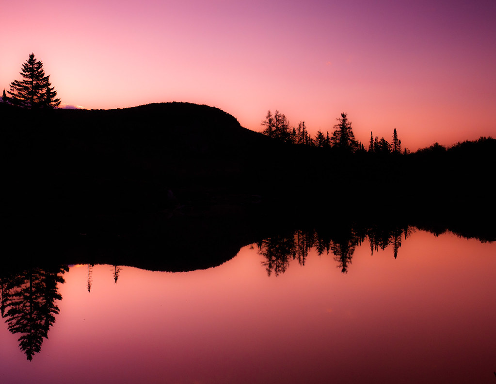
Mt Marshfield x2
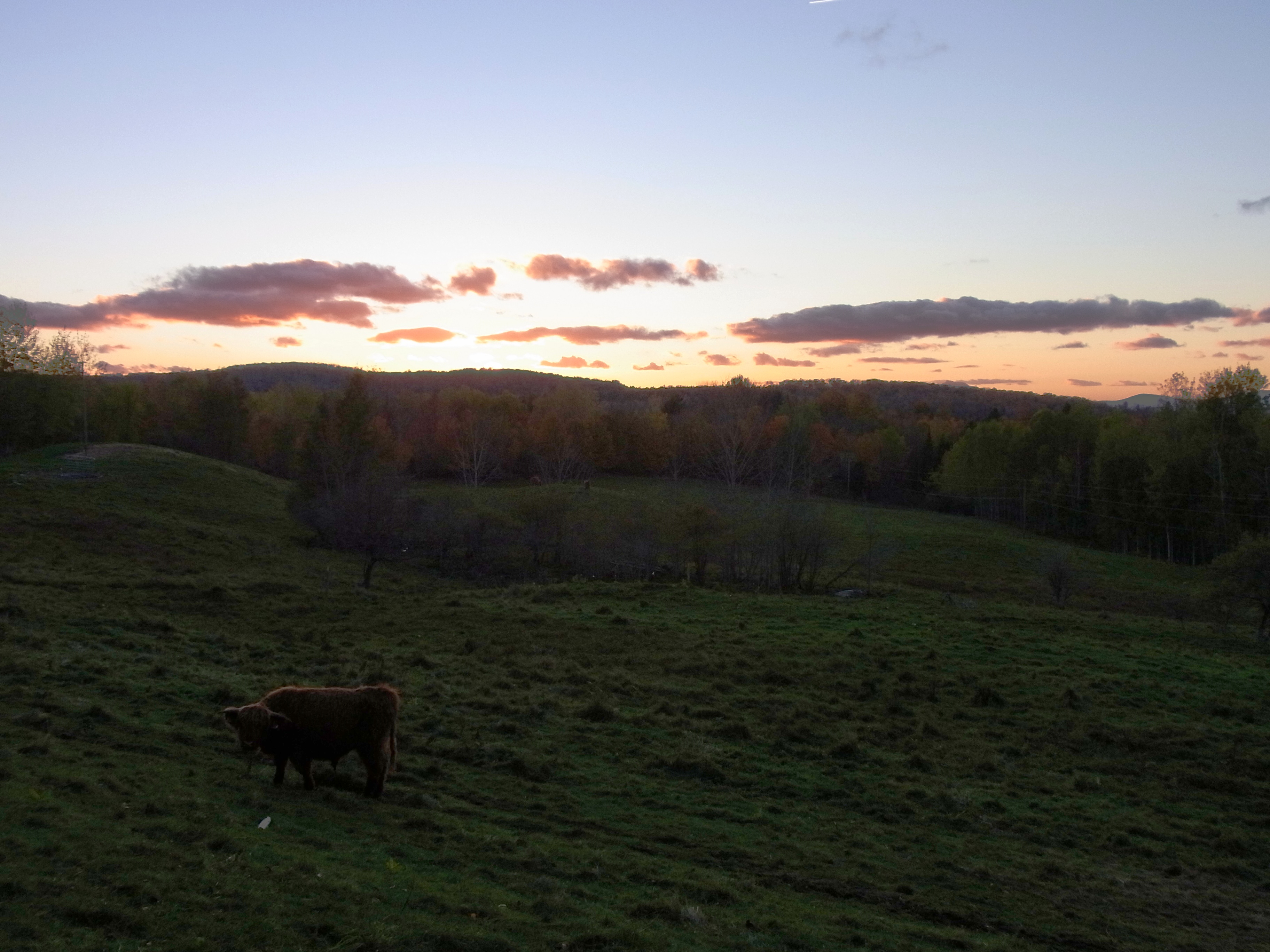
Highland Cow at Sunset

A.M. Foster Covered Bridge

seattle posse

Days like these….
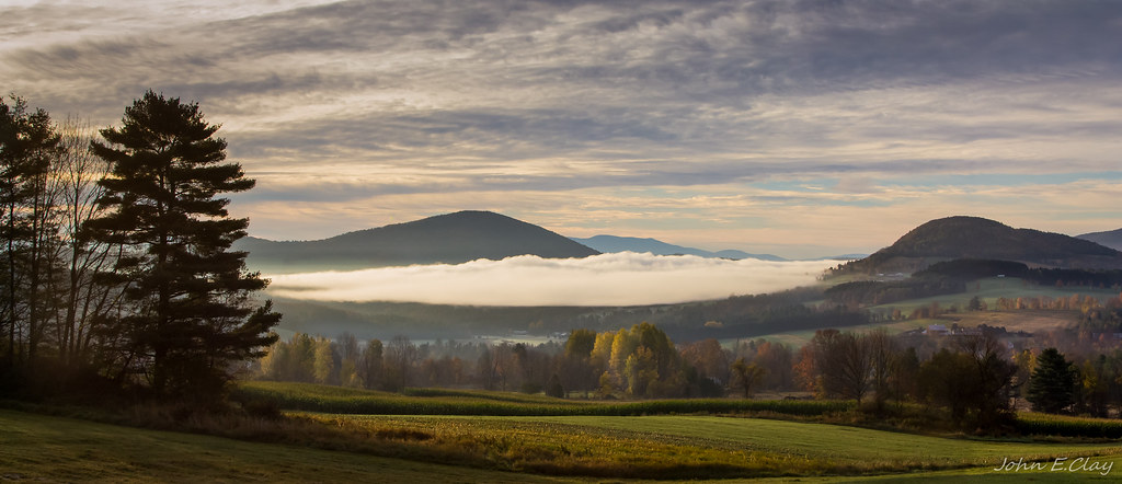
The Valley
Go Back To Bed

Peacham Vermont
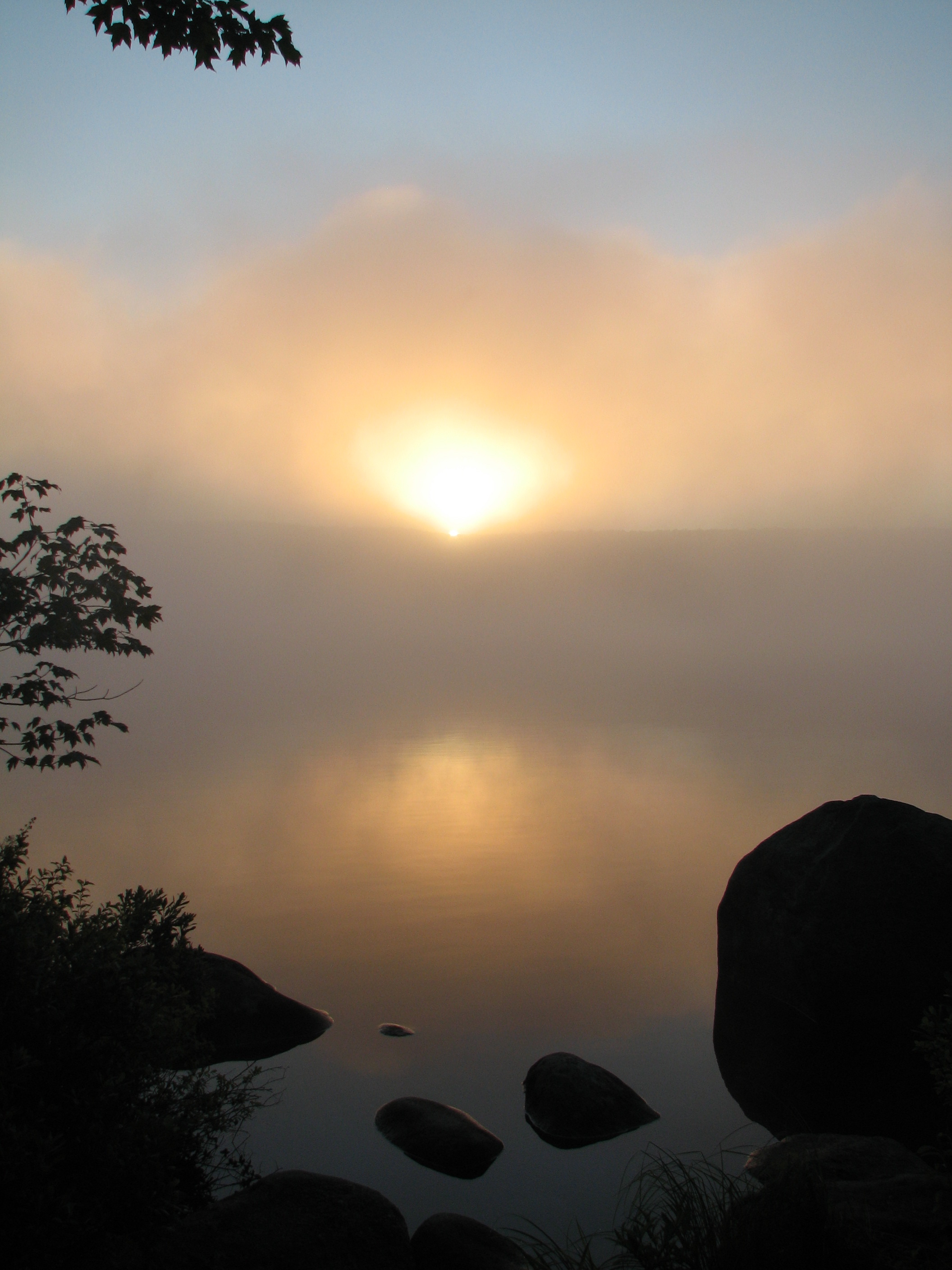
Sunrise - July 5th 5:36am EDT
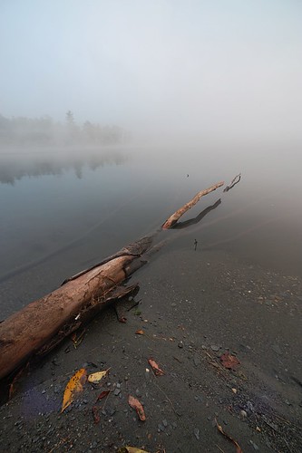
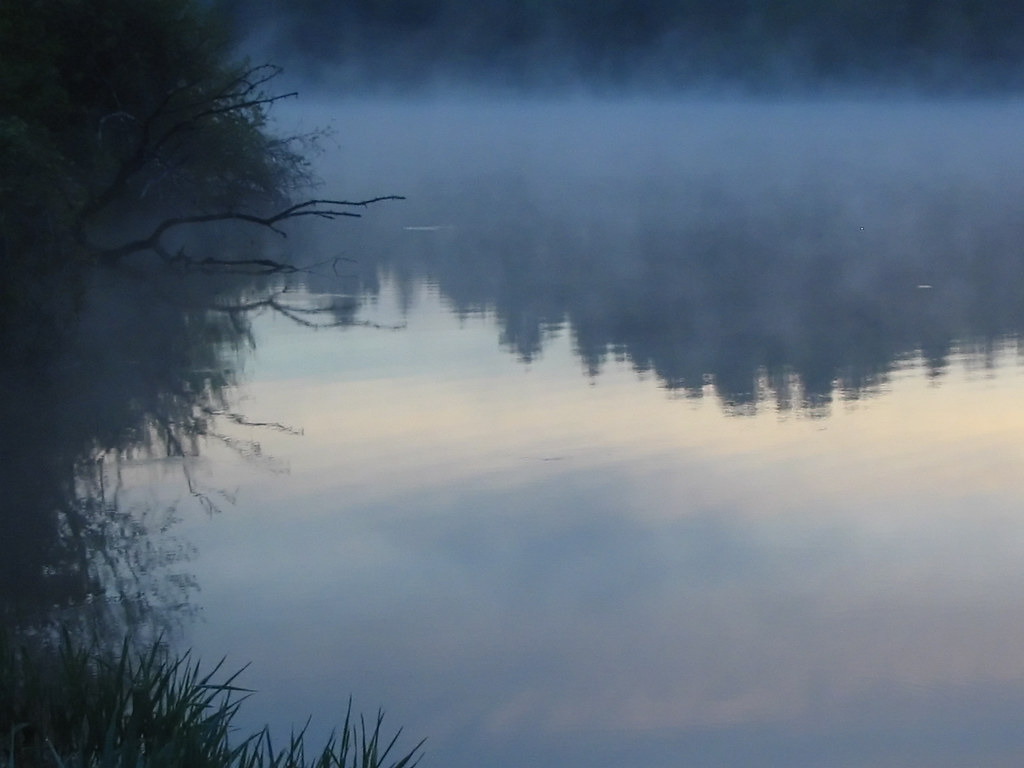
foggy morning
Mapa de Marshfield, Vermont, EE. UU.
Buscar otro lugar
lugares en Marshfield, Vermont, EE. UU.
Lugares cercanos
Vermont Flower Farm, US-2, Marshfield, VT, EE. UU.
Hollister Hill Rd, Marshfield, VT, EE. UU.
Sawmill Rd, Cabot, VT, EE. UU.
E Hill Rd, Marshfield, VT, EE. UU.
Lanesboro Rd, Marshfield, VT, EE. UU.
Cabot, VT, EE. UU.
Pleasant Ave, Marshfield, VT, EE. UU.
Cabot Rd, Cabot, VT, EE. UU.
56 William Lyford Rd, Marshfield, VT, EE. UU.
VT-14, East Calais, VT, EE. UU.
35 Keene Rd, Marshfield, VT, EE. UU.
Peacham Pond Road, Peacham Pond Rd, Marshfield, VT, EE. UU.
Peacham Pond Rd, Marshfield, VT, EE. UU.
Backroads Farm LLC, Urban Rd, Cabot, VT, EE. UU.
S Walden Rd, Cabot, VT, EE. UU.
Foster Hill Rd, East Calais, VT, EE. UU.
Old Quarry Rd, East Calais, VT, EE. UU.
Cross Rd, Cabot, VT, EE. UU.
Cabot, VT, EE. UU.
Woodbury, Vermont, EE. UU.
Búsquedas recientes
- Horas de salida y puesta de sol de Lampiasi St, Sarasota, FL, USA
- Horas de salida y puesta de sol de Japón, 〒- Toyama, Kubomotomachi, 12−31 APAガーデンコート稲荷
- Horas de salida y puesta de sol de Jialuohu, Datong Township, Yilan County, Taiwán
- Horas de salida y puesta de sol de 大下港, Sekizenoge, Imabari, Prefectura de Ehime -, Japón
- Horas de salida y puesta de sol de Oge port Ferry Terminal, -1 Sekizenōge, Imabari, Ehime -, Japón
- Horas de salida y puesta de sol de San Telmo, Cdad. Autónoma de Buenos Aires, Argentina
- Horas de salida y puesta de sol de Congressional Dr, Stevensville, MD, USA
- Horas de salida y puesta de sol de Papingo 04, Grecia
- Horas de salida y puesta de sol de Pagonija rock, Kranto 7-oji g. 8"N, Kaunas, Lituania
- Horas de salida y puesta de sol de Co Rd 87, Jamestown, CO, EE. UU.