Horas de salida y puesta de sol de Lone Tree Peak, Idaho, EE. UU.
Location: Estados Unidos > Idaho > Bonners Ferry >
Zona horaria:
America/Los_Angeles
Hora local:
2024-04-27 23:34:55
Longitud:
-116.7102223
Latitud:
48.9435529
Salida de sol de hoy:
05:29:14 AM
Puesta de sol de hoy:
07:59:09 PM
La duración del día hoy:
14h 29m 55s
Salida de sol de mañana:
05:27:30 AM
Puesta de sol de mañana:
08:00:37 PM
La duración del día mañana:
14h 33m 7s
Mostrar todas las fechas
| Fecha | Salida de sol | Puesta de sol | Duración del día |
|---|---|---|---|
| 01/01/2024 | 07:40:27 AM | 04:00:58 PM | 8h 20m 31s |
| 02/01/2024 | 07:40:21 AM | 04:02:00 PM | 8h 21m 39s |
| 03/01/2024 | 07:40:12 AM | 04:03:04 PM | 8h 22m 52s |
| 04/01/2024 | 07:40:00 AM | 04:04:10 PM | 8h 24m 10s |
| 05/01/2024 | 07:39:45 AM | 04:05:18 PM | 8h 25m 33s |
| 06/01/2024 | 07:39:27 AM | 04:06:29 PM | 8h 27m 2s |
| 07/01/2024 | 07:39:06 AM | 04:07:41 PM | 8h 28m 35s |
| 08/01/2024 | 07:38:42 AM | 04:08:55 PM | 8h 30m 13s |
| 09/01/2024 | 07:38:15 AM | 04:10:11 PM | 8h 31m 56s |
| 10/01/2024 | 07:37:45 AM | 04:11:29 PM | 8h 33m 44s |
| 11/01/2024 | 07:37:13 AM | 04:12:48 PM | 8h 35m 35s |
| 12/01/2024 | 07:36:37 AM | 04:14:09 PM | 8h 37m 32s |
| 13/01/2024 | 07:35:59 AM | 04:15:32 PM | 8h 39m 33s |
| 14/01/2024 | 07:35:18 AM | 04:16:56 PM | 8h 41m 38s |
| 15/01/2024 | 07:34:34 AM | 04:18:22 PM | 8h 43m 48s |
| 16/01/2024 | 07:33:48 AM | 04:19:48 PM | 8h 46m 0s |
| 17/01/2024 | 07:32:59 AM | 04:21:16 PM | 8h 48m 17s |
| 18/01/2024 | 07:32:08 AM | 04:22:45 PM | 8h 50m 37s |
| 19/01/2024 | 07:31:14 AM | 04:24:16 PM | 8h 53m 2s |
| 20/01/2024 | 07:30:17 AM | 04:25:47 PM | 8h 55m 30s |
| 21/01/2024 | 07:29:18 AM | 04:27:19 PM | 8h 58m 1s |
| 22/01/2024 | 07:28:16 AM | 04:28:52 PM | 9h 0m 36s |
| 23/01/2024 | 07:27:12 AM | 04:30:26 PM | 9h 3m 14s |
| 24/01/2024 | 07:26:06 AM | 04:32:01 PM | 9h 5m 55s |
| 25/01/2024 | 07:24:58 AM | 04:33:36 PM | 9h 8m 38s |
| 26/01/2024 | 07:23:47 AM | 04:35:12 PM | 9h 11m 25s |
| 27/01/2024 | 07:22:34 AM | 04:36:49 PM | 9h 14m 15s |
| 28/01/2024 | 07:21:19 AM | 04:38:26 PM | 9h 17m 7s |
| 29/01/2024 | 07:20:02 AM | 04:40:03 PM | 9h 20m 1s |
| 30/01/2024 | 07:18:43 AM | 04:41:41 PM | 9h 22m 58s |
| 31/01/2024 | 07:17:22 AM | 04:43:19 PM | 9h 25m 57s |
| 01/02/2024 | 07:15:59 AM | 04:44:58 PM | 9h 28m 59s |
| 02/02/2024 | 07:14:34 AM | 04:46:37 PM | 9h 32m 3s |
| 03/02/2024 | 07:13:07 AM | 04:48:16 PM | 9h 35m 9s |
| 04/02/2024 | 07:11:38 AM | 04:49:55 PM | 9h 38m 17s |
| 05/02/2024 | 07:10:08 AM | 04:51:34 PM | 9h 41m 26s |
| 06/02/2024 | 07:08:36 AM | 04:53:14 PM | 9h 44m 38s |
| 07/02/2024 | 07:07:02 AM | 04:54:53 PM | 9h 47m 51s |
| 08/02/2024 | 07:05:27 AM | 04:56:33 PM | 9h 51m 6s |
| 09/02/2024 | 07:03:50 AM | 04:58:12 PM | 9h 54m 22s |
| 10/02/2024 | 07:02:12 AM | 04:59:52 PM | 9h 57m 40s |
| 11/02/2024 | 07:00:32 AM | 05:01:31 PM | 10h 0m 59s |
| 12/02/2024 | 06:58:51 AM | 05:03:11 PM | 10h 4m 20s |
| 13/02/2024 | 06:57:08 AM | 05:04:50 PM | 10h 7m 42s |
| 14/02/2024 | 06:55:24 AM | 05:06:29 PM | 10h 11m 5s |
| 15/02/2024 | 06:53:39 AM | 05:08:08 PM | 10h 14m 29s |
| 16/02/2024 | 06:51:53 AM | 05:09:46 PM | 10h 17m 53s |
| 17/02/2024 | 06:50:05 AM | 05:11:25 PM | 10h 21m 20s |
| 18/02/2024 | 06:48:16 AM | 05:13:03 PM | 10h 24m 47s |
| 19/02/2024 | 06:46:26 AM | 05:14:41 PM | 10h 28m 15s |
| 20/02/2024 | 06:44:35 AM | 05:16:19 PM | 10h 31m 44s |
| 21/02/2024 | 06:42:43 AM | 05:17:57 PM | 10h 35m 14s |
| 22/02/2024 | 06:40:50 AM | 05:19:34 PM | 10h 38m 44s |
| 23/02/2024 | 06:38:56 AM | 05:21:11 PM | 10h 42m 15s |
| 24/02/2024 | 06:37:01 AM | 05:22:48 PM | 10h 45m 47s |
| 25/02/2024 | 06:35:05 AM | 05:24:25 PM | 10h 49m 20s |
| 26/02/2024 | 06:33:08 AM | 05:26:01 PM | 10h 52m 53s |
| 27/02/2024 | 06:31:11 AM | 05:27:37 PM | 10h 56m 26s |
| 28/02/2024 | 06:29:12 AM | 05:29:13 PM | 11h 0m 1s |
| 29/02/2024 | 06:27:13 AM | 05:30:49 PM | 11h 3m 36s |
| 01/03/2024 | 06:25:13 AM | 05:32:24 PM | 11h 7m 11s |
| 02/03/2024 | 06:23:13 AM | 05:33:59 PM | 11h 10m 46s |
| 03/03/2024 | 06:21:12 AM | 05:35:33 PM | 11h 14m 21s |
| 04/03/2024 | 06:19:10 AM | 05:37:08 PM | 11h 17m 58s |
| 05/03/2024 | 06:17:08 AM | 05:38:42 PM | 11h 21m 34s |
| 06/03/2024 | 06:15:05 AM | 05:40:16 PM | 11h 25m 11s |
| 07/03/2024 | 06:13:02 AM | 05:41:49 PM | 11h 28m 47s |
| 08/03/2024 | 06:10:58 AM | 05:43:23 PM | 11h 32m 25s |
| 09/03/2024 | 06:08:54 AM | 05:44:56 PM | 11h 36m 2s |
| 10/03/2024 | 07:06:55 AM | 06:46:25 PM | 11h 39m 30s |
| 11/03/2024 | 07:04:50 AM | 06:47:57 PM | 11h 43m 7s |
| 12/03/2024 | 07:02:45 AM | 06:49:30 PM | 11h 46m 45s |
| 13/03/2024 | 07:00:39 AM | 06:51:02 PM | 11h 50m 23s |
| 14/03/2024 | 06:58:34 AM | 06:52:34 PM | 11h 54m 0s |
| 15/03/2024 | 06:56:28 AM | 06:54:06 PM | 11h 57m 38s |
| 16/03/2024 | 06:54:21 AM | 06:55:38 PM | 12h 1m 17s |
| 17/03/2024 | 06:52:15 AM | 06:57:09 PM | 12h 4m 54s |
| 18/03/2024 | 06:50:09 AM | 06:58:40 PM | 12h 8m 31s |
| 19/03/2024 | 06:48:02 AM | 07:00:12 PM | 12h 12m 10s |
| 20/03/2024 | 06:45:55 AM | 07:01:43 PM | 12h 15m 48s |
| 21/03/2024 | 06:43:48 AM | 07:03:13 PM | 12h 19m 25s |
| 22/03/2024 | 06:41:42 AM | 07:04:44 PM | 12h 23m 2s |
| 23/03/2024 | 06:39:35 AM | 07:06:15 PM | 12h 26m 40s |
| 24/03/2024 | 06:37:28 AM | 07:07:45 PM | 12h 30m 17s |
| 25/03/2024 | 06:35:21 AM | 07:09:16 PM | 12h 33m 55s |
| 26/03/2024 | 06:33:15 AM | 07:10:46 PM | 12h 37m 31s |
| 27/03/2024 | 06:31:08 AM | 07:12:16 PM | 12h 41m 8s |
| 28/03/2024 | 06:29:02 AM | 07:13:47 PM | 12h 44m 45s |
| 29/03/2024 | 06:26:56 AM | 07:15:17 PM | 12h 48m 21s |
| 30/03/2024 | 06:24:50 AM | 07:16:47 PM | 12h 51m 57s |
| 31/03/2024 | 06:22:45 AM | 07:18:17 PM | 12h 55m 32s |
| 01/04/2024 | 06:20:39 AM | 07:19:47 PM | 12h 59m 8s |
| 02/04/2024 | 06:18:35 AM | 07:21:17 PM | 13h 2m 42s |
| 03/04/2024 | 06:16:30 AM | 07:22:47 PM | 13h 6m 17s |
| 04/04/2024 | 06:14:26 AM | 07:24:17 PM | 13h 9m 51s |
| 05/04/2024 | 06:12:22 AM | 07:25:46 PM | 13h 13m 24s |
| 06/04/2024 | 06:10:19 AM | 07:27:16 PM | 13h 16m 57s |
| 07/04/2024 | 06:08:16 AM | 07:28:46 PM | 13h 20m 30s |
| 08/04/2024 | 06:06:13 AM | 07:30:16 PM | 13h 24m 3s |
| 09/04/2024 | 06:04:12 AM | 07:31:46 PM | 13h 27m 34s |
| 10/04/2024 | 06:02:10 AM | 07:33:16 PM | 13h 31m 6s |
| 11/04/2024 | 06:00:10 AM | 07:34:45 PM | 13h 34m 35s |
| 12/04/2024 | 05:58:10 AM | 07:36:15 PM | 13h 38m 5s |
| 13/04/2024 | 05:56:11 AM | 07:37:45 PM | 13h 41m 34s |
| 14/04/2024 | 05:54:12 AM | 07:39:15 PM | 13h 45m 3s |
| 15/04/2024 | 05:52:14 AM | 07:40:44 PM | 13h 48m 30s |
| 16/04/2024 | 05:50:17 AM | 07:42:14 PM | 13h 51m 57s |
| 17/04/2024 | 05:48:21 AM | 07:43:44 PM | 13h 55m 23s |
| 18/04/2024 | 05:46:26 AM | 07:45:13 PM | 13h 58m 47s |
| 19/04/2024 | 05:44:32 AM | 07:46:43 PM | 14h 2m 11s |
| 20/04/2024 | 05:42:38 AM | 07:48:13 PM | 14h 5m 35s |
| 21/04/2024 | 05:40:46 AM | 07:49:42 PM | 14h 8m 56s |
| 22/04/2024 | 05:38:54 AM | 07:51:11 PM | 14h 12m 17s |
| 23/04/2024 | 05:37:04 AM | 07:52:40 PM | 14h 15m 36s |
| 24/04/2024 | 05:35:14 AM | 07:54:10 PM | 14h 18m 56s |
| 25/04/2024 | 05:33:26 AM | 07:55:39 PM | 14h 22m 13s |
| 26/04/2024 | 05:31:39 AM | 07:57:07 PM | 14h 25m 28s |
| 27/04/2024 | 05:29:53 AM | 07:58:36 PM | 14h 28m 43s |
| 28/04/2024 | 05:28:09 AM | 08:00:04 PM | 14h 31m 55s |
| 29/04/2024 | 05:26:26 AM | 08:01:32 PM | 14h 35m 6s |
| 30/04/2024 | 05:24:44 AM | 08:03:00 PM | 14h 38m 16s |
| 01/05/2024 | 05:23:03 AM | 08:04:28 PM | 14h 41m 25s |
| 02/05/2024 | 05:21:24 AM | 08:05:55 PM | 14h 44m 31s |
| 03/05/2024 | 05:19:46 AM | 08:07:22 PM | 14h 47m 36s |
| 04/05/2024 | 05:18:10 AM | 08:08:49 PM | 14h 50m 39s |
| 05/05/2024 | 05:16:35 AM | 08:10:15 PM | 14h 53m 40s |
| 06/05/2024 | 05:15:02 AM | 08:11:41 PM | 14h 56m 39s |
| 07/05/2024 | 05:13:30 AM | 08:13:06 PM | 14h 59m 36s |
| 08/05/2024 | 05:12:01 AM | 08:14:31 PM | 15h 2m 30s |
| 09/05/2024 | 05:10:32 AM | 08:15:55 PM | 15h 5m 23s |
| 10/05/2024 | 05:09:06 AM | 08:17:19 PM | 15h 8m 13s |
| 11/05/2024 | 05:07:42 AM | 08:18:41 PM | 15h 10m 59s |
| 12/05/2024 | 05:06:19 AM | 08:20:04 PM | 15h 13m 45s |
| 13/05/2024 | 05:04:58 AM | 08:21:25 PM | 15h 16m 27s |
| 14/05/2024 | 05:03:39 AM | 08:22:46 PM | 15h 19m 7s |
| 15/05/2024 | 05:02:22 AM | 08:24:06 PM | 15h 21m 44s |
| 16/05/2024 | 05:01:07 AM | 08:25:25 PM | 15h 24m 18s |
| 17/05/2024 | 04:59:54 AM | 08:26:43 PM | 15h 26m 49s |
| 18/05/2024 | 04:58:43 AM | 08:28:00 PM | 15h 29m 17s |
| 19/05/2024 | 04:57:35 AM | 08:29:16 PM | 15h 31m 41s |
| 20/05/2024 | 04:56:28 AM | 08:30:30 PM | 15h 34m 2s |
| 21/05/2024 | 04:55:24 AM | 08:31:44 PM | 15h 36m 20s |
| 22/05/2024 | 04:54:22 AM | 08:32:56 PM | 15h 38m 34s |
| 23/05/2024 | 04:53:22 AM | 08:34:08 PM | 15h 40m 46s |
| 24/05/2024 | 04:52:25 AM | 08:35:17 PM | 15h 42m 52s |
| 25/05/2024 | 04:51:30 AM | 08:36:26 PM | 15h 44m 56s |
| 26/05/2024 | 04:50:37 AM | 08:37:33 PM | 15h 46m 56s |
| 27/05/2024 | 04:49:47 AM | 08:38:38 PM | 15h 48m 51s |
| 28/05/2024 | 04:48:59 AM | 08:39:42 PM | 15h 50m 43s |
| 29/05/2024 | 04:48:14 AM | 08:40:44 PM | 15h 52m 30s |
| 30/05/2024 | 04:47:32 AM | 08:41:45 PM | 15h 54m 13s |
| 31/05/2024 | 04:46:51 AM | 08:42:43 PM | 15h 55m 52s |
| 01/06/2024 | 04:46:14 AM | 08:43:40 PM | 15h 57m 26s |
| 02/06/2024 | 04:45:39 AM | 08:44:35 PM | 15h 58m 56s |
| 03/06/2024 | 04:45:07 AM | 08:45:28 PM | 16h 0m 21s |
| 04/06/2024 | 04:44:37 AM | 08:46:19 PM | 16h 1m 42s |
| 05/06/2024 | 04:44:10 AM | 08:47:08 PM | 16h 2m 58s |
| 06/06/2024 | 04:43:46 AM | 08:47:55 PM | 16h 4m 9s |
| 07/06/2024 | 04:43:25 AM | 08:48:39 PM | 16h 5m 14s |
| 08/06/2024 | 04:43:06 AM | 08:49:22 PM | 16h 6m 16s |
| 09/06/2024 | 04:42:50 AM | 08:50:02 PM | 16h 7m 12s |
| 10/06/2024 | 04:42:37 AM | 08:50:40 PM | 16h 8m 3s |
| 11/06/2024 | 04:42:26 AM | 08:51:15 PM | 16h 8m 49s |
| 12/06/2024 | 04:42:18 AM | 08:51:48 PM | 16h 9m 30s |
| 13/06/2024 | 04:42:13 AM | 08:52:19 PM | 16h 10m 6s |
| 14/06/2024 | 04:42:11 AM | 08:52:47 PM | 16h 10m 36s |
| 15/06/2024 | 04:42:11 AM | 08:53:13 PM | 16h 11m 2s |
| 16/06/2024 | 04:42:14 AM | 08:53:36 PM | 16h 11m 22s |
| 17/06/2024 | 04:42:20 AM | 08:53:56 PM | 16h 11m 36s |
| 18/06/2024 | 04:42:28 AM | 08:54:14 PM | 16h 11m 46s |
| 19/06/2024 | 04:42:40 AM | 08:54:29 PM | 16h 11m 49s |
| 20/06/2024 | 04:42:53 AM | 08:54:41 PM | 16h 11m 48s |
| 21/06/2024 | 04:43:10 AM | 08:54:51 PM | 16h 11m 41s |
| 22/06/2024 | 04:43:29 AM | 08:54:58 PM | 16h 11m 29s |
| 23/06/2024 | 04:43:50 AM | 08:55:02 PM | 16h 11m 12s |
| 24/06/2024 | 04:44:14 AM | 08:55:03 PM | 16h 10m 49s |
| 25/06/2024 | 04:44:41 AM | 08:55:02 PM | 16h 10m 21s |
| 26/06/2024 | 04:45:09 AM | 08:54:58 PM | 16h 9m 49s |
| 27/06/2024 | 04:45:41 AM | 08:54:51 PM | 16h 9m 10s |
| 28/06/2024 | 04:46:15 AM | 08:54:41 PM | 16h 8m 26s |
| 29/06/2024 | 04:46:51 AM | 08:54:29 PM | 16h 7m 38s |
| 30/06/2024 | 04:47:29 AM | 08:54:13 PM | 16h 6m 44s |
| 01/07/2024 | 04:48:09 AM | 08:53:55 PM | 16h 5m 46s |
| 02/07/2024 | 04:48:52 AM | 08:53:35 PM | 16h 4m 43s |
| 03/07/2024 | 04:49:37 AM | 08:53:11 PM | 16h 3m 34s |
| 04/07/2024 | 04:50:24 AM | 08:52:45 PM | 16h 2m 21s |
| 05/07/2024 | 04:51:12 AM | 08:52:16 PM | 16h 1m 4s |
| 06/07/2024 | 04:52:03 AM | 08:51:44 PM | 15h 59m 41s |
| 07/07/2024 | 04:52:56 AM | 08:51:10 PM | 15h 58m 14s |
| 08/07/2024 | 04:53:50 AM | 08:50:33 PM | 15h 56m 43s |
| 09/07/2024 | 04:54:47 AM | 08:49:53 PM | 15h 55m 6s |
| 10/07/2024 | 04:55:45 AM | 08:49:11 PM | 15h 53m 26s |
| 11/07/2024 | 04:56:44 AM | 08:48:26 PM | 15h 51m 42s |
| 12/07/2024 | 04:57:46 AM | 08:47:38 PM | 15h 49m 52s |
| 13/07/2024 | 04:58:48 AM | 08:46:49 PM | 15h 48m 1s |
| 14/07/2024 | 04:59:52 AM | 08:45:56 PM | 15h 46m 4s |
| 15/07/2024 | 05:00:58 AM | 08:45:01 PM | 15h 44m 3s |
| 16/07/2024 | 05:02:05 AM | 08:44:04 PM | 15h 41m 59s |
| 17/07/2024 | 05:03:13 AM | 08:43:05 PM | 15h 39m 52s |
| 18/07/2024 | 05:04:23 AM | 08:42:03 PM | 15h 37m 40s |
| 19/07/2024 | 05:05:34 AM | 08:40:59 PM | 15h 35m 25s |
| 20/07/2024 | 05:06:45 AM | 08:39:52 PM | 15h 33m 7s |
| 21/07/2024 | 05:07:58 AM | 08:38:43 PM | 15h 30m 45s |
| 22/07/2024 | 05:09:12 AM | 08:37:33 PM | 15h 28m 21s |
| 23/07/2024 | 05:10:27 AM | 08:36:20 PM | 15h 25m 53s |
| 24/07/2024 | 05:11:43 AM | 08:35:05 PM | 15h 23m 22s |
| 25/07/2024 | 05:12:59 AM | 08:33:48 PM | 15h 20m 49s |
| 26/07/2024 | 05:14:16 AM | 08:32:28 PM | 15h 18m 12s |
| 27/07/2024 | 05:15:35 AM | 08:31:07 PM | 15h 15m 32s |
| 28/07/2024 | 05:16:53 AM | 08:29:45 PM | 15h 12m 52s |
| 29/07/2024 | 05:18:13 AM | 08:28:20 PM | 15h 10m 7s |
| 30/07/2024 | 05:19:33 AM | 08:26:53 PM | 15h 7m 20s |
| 31/07/2024 | 05:20:53 AM | 08:25:25 PM | 15h 4m 32s |
| 01/08/2024 | 05:22:15 AM | 08:23:55 PM | 15h 1m 40s |
| 02/08/2024 | 05:23:36 AM | 08:22:23 PM | 14h 58m 47s |
| 03/08/2024 | 05:24:58 AM | 08:20:49 PM | 14h 55m 51s |
| 04/08/2024 | 05:26:21 AM | 08:19:14 PM | 14h 52m 53s |
| 05/08/2024 | 05:27:43 AM | 08:17:38 PM | 14h 49m 55s |
| 06/08/2024 | 05:29:07 AM | 08:16:00 PM | 14h 46m 53s |
| 07/08/2024 | 05:30:30 AM | 08:14:20 PM | 14h 43m 50s |
| 08/08/2024 | 05:31:54 AM | 08:12:39 PM | 14h 40m 45s |
| 09/08/2024 | 05:33:18 AM | 08:10:56 PM | 14h 37m 38s |
| 10/08/2024 | 05:34:42 AM | 08:09:13 PM | 14h 34m 31s |
| 11/08/2024 | 05:36:06 AM | 08:07:28 PM | 14h 31m 22s |
| 12/08/2024 | 05:37:31 AM | 08:05:41 PM | 14h 28m 10s |
| 13/08/2024 | 05:38:55 AM | 08:03:54 PM | 14h 24m 59s |
| 14/08/2024 | 05:40:20 AM | 08:02:05 PM | 14h 21m 45s |
| 15/08/2024 | 05:41:45 AM | 08:00:15 PM | 14h 18m 30s |
| 16/08/2024 | 05:43:10 AM | 07:58:24 PM | 14h 15m 14s |
| 17/08/2024 | 05:44:35 AM | 07:56:32 PM | 14h 11m 57s |
| 18/08/2024 | 05:46:00 AM | 07:54:38 PM | 14h 8m 38s |
| 19/08/2024 | 05:47:26 AM | 07:52:44 PM | 14h 5m 18s |
| 20/08/2024 | 05:48:51 AM | 07:50:49 PM | 14h 1m 58s |
| 21/08/2024 | 05:50:16 AM | 07:48:53 PM | 13h 58m 37s |
| 22/08/2024 | 05:51:41 AM | 07:46:56 PM | 13h 55m 15s |
| 23/08/2024 | 05:53:06 AM | 07:44:58 PM | 13h 51m 52s |
| 24/08/2024 | 05:54:32 AM | 07:43:00 PM | 13h 48m 28s |
| 25/08/2024 | 05:55:57 AM | 07:41:00 PM | 13h 45m 3s |
| 26/08/2024 | 05:57:22 AM | 07:39:00 PM | 13h 41m 38s |
| 27/08/2024 | 05:58:47 AM | 07:36:59 PM | 13h 38m 12s |
| 28/08/2024 | 06:00:13 AM | 07:34:58 PM | 13h 34m 45s |
| 29/08/2024 | 06:01:38 AM | 07:32:55 PM | 13h 31m 17s |
| 30/08/2024 | 06:03:03 AM | 07:30:53 PM | 13h 27m 50s |
| 31/08/2024 | 06:04:28 AM | 07:28:49 PM | 13h 24m 21s |
| 01/09/2024 | 06:05:53 AM | 07:26:45 PM | 13h 20m 52s |
| 02/09/2024 | 06:07:18 AM | 07:24:41 PM | 13h 17m 23s |
| 03/09/2024 | 06:08:43 AM | 07:22:36 PM | 13h 13m 53s |
| 04/09/2024 | 06:10:08 AM | 07:20:31 PM | 13h 10m 23s |
| 05/09/2024 | 06:11:33 AM | 07:18:25 PM | 13h 6m 52s |
| 06/09/2024 | 06:12:58 AM | 07:16:19 PM | 13h 3m 21s |
| 07/09/2024 | 06:14:23 AM | 07:14:12 PM | 12h 59m 49s |
| 08/09/2024 | 06:15:49 AM | 07:12:05 PM | 12h 56m 16s |
| 09/09/2024 | 06:17:14 AM | 07:09:58 PM | 12h 52m 44s |
| 10/09/2024 | 06:18:39 AM | 07:07:50 PM | 12h 49m 11s |
| 11/09/2024 | 06:20:04 AM | 07:05:43 PM | 12h 45m 39s |
| 12/09/2024 | 06:21:29 AM | 07:03:35 PM | 12h 42m 6s |
| 13/09/2024 | 06:22:54 AM | 07:01:27 PM | 12h 38m 33s |
| 14/09/2024 | 06:24:20 AM | 06:59:19 PM | 12h 34m 59s |
| 15/09/2024 | 06:25:45 AM | 06:57:10 PM | 12h 31m 25s |
| 16/09/2024 | 06:27:11 AM | 06:55:02 PM | 12h 27m 51s |
| 17/09/2024 | 06:28:36 AM | 06:52:54 PM | 12h 24m 18s |
| 18/09/2024 | 06:30:02 AM | 06:50:45 PM | 12h 20m 43s |
| 19/09/2024 | 06:31:28 AM | 06:48:37 PM | 12h 17m 9s |
| 20/09/2024 | 06:32:54 AM | 06:46:28 PM | 12h 13m 34s |
| 21/09/2024 | 06:34:20 AM | 06:44:20 PM | 12h 10m 0s |
| 22/09/2024 | 06:35:46 AM | 06:42:12 PM | 12h 6m 26s |
| 23/09/2024 | 06:37:12 AM | 06:40:03 PM | 12h 2m 51s |
| 24/09/2024 | 06:38:39 AM | 06:37:55 PM | 11h 59m 16s |
| 25/09/2024 | 06:40:06 AM | 06:35:48 PM | 11h 55m 42s |
| 26/09/2024 | 06:41:33 AM | 06:33:40 PM | 11h 52m 7s |
| 27/09/2024 | 06:43:00 AM | 06:31:33 PM | 11h 48m 33s |
| 28/09/2024 | 06:44:27 AM | 06:29:26 PM | 11h 44m 59s |
| 29/09/2024 | 06:45:55 AM | 06:27:19 PM | 11h 41m 24s |
| 30/09/2024 | 06:47:22 AM | 06:25:13 PM | 11h 37m 51s |
| 01/10/2024 | 06:48:50 AM | 06:23:07 PM | 11h 34m 17s |
| 02/10/2024 | 06:50:19 AM | 06:21:01 PM | 11h 30m 42s |
| 03/10/2024 | 06:51:47 AM | 06:18:56 PM | 11h 27m 9s |
| 04/10/2024 | 06:53:16 AM | 06:16:51 PM | 11h 23m 35s |
| 05/10/2024 | 06:54:45 AM | 06:14:47 PM | 11h 20m 2s |
| 06/10/2024 | 06:56:14 AM | 06:12:43 PM | 11h 16m 29s |
| 07/10/2024 | 06:57:44 AM | 06:10:40 PM | 11h 12m 56s |
| 08/10/2024 | 06:59:14 AM | 06:08:38 PM | 11h 9m 24s |
| 09/10/2024 | 07:00:44 AM | 06:06:36 PM | 11h 5m 52s |
| 10/10/2024 | 07:02:15 AM | 06:04:34 PM | 11h 2m 19s |
| 11/10/2024 | 07:03:45 AM | 06:02:34 PM | 10h 58m 49s |
| 12/10/2024 | 07:05:16 AM | 06:00:34 PM | 10h 55m 18s |
| 13/10/2024 | 07:06:48 AM | 05:58:35 PM | 10h 51m 47s |
| 14/10/2024 | 07:08:20 AM | 05:56:37 PM | 10h 48m 17s |
| 15/10/2024 | 07:09:52 AM | 05:54:40 PM | 10h 44m 48s |
| 16/10/2024 | 07:11:24 AM | 05:52:43 PM | 10h 41m 19s |
| 17/10/2024 | 07:12:56 AM | 05:50:48 PM | 10h 37m 52s |
| 18/10/2024 | 07:14:29 AM | 05:48:53 PM | 10h 34m 24s |
| 19/10/2024 | 07:16:03 AM | 05:47:00 PM | 10h 30m 57s |
| 20/10/2024 | 07:17:36 AM | 05:45:07 PM | 10h 27m 31s |
| 21/10/2024 | 07:19:10 AM | 05:43:16 PM | 10h 24m 6s |
| 22/10/2024 | 07:20:44 AM | 05:41:25 PM | 10h 20m 41s |
| 23/10/2024 | 07:22:18 AM | 05:39:36 PM | 10h 17m 18s |
| 24/10/2024 | 07:23:52 AM | 05:37:48 PM | 10h 13m 56s |
| 25/10/2024 | 07:25:27 AM | 05:36:02 PM | 10h 10m 35s |
| 26/10/2024 | 07:27:02 AM | 05:34:16 PM | 10h 7m 14s |
| 27/10/2024 | 07:28:37 AM | 05:32:32 PM | 10h 3m 55s |
| 28/10/2024 | 07:30:12 AM | 05:30:49 PM | 10h 0m 37s |
| 29/10/2024 | 07:31:47 AM | 05:29:08 PM | 9h 57m 21s |
| 30/10/2024 | 07:33:23 AM | 05:27:28 PM | 9h 54m 5s |
| 31/10/2024 | 07:34:58 AM | 05:25:50 PM | 9h 50m 52s |
| 01/11/2024 | 07:36:34 AM | 05:24:13 PM | 9h 47m 39s |
| 02/11/2024 | 07:38:10 AM | 05:22:38 PM | 9h 44m 28s |
| 03/11/2024 | 06:39:49 AM | 04:21:00 PM | 9h 41m 11s |
| 04/11/2024 | 06:41:25 AM | 04:19:28 PM | 9h 38m 3s |
| 05/11/2024 | 06:43:00 AM | 04:17:58 PM | 9h 34m 58s |
| 06/11/2024 | 06:44:36 AM | 04:16:30 PM | 9h 31m 54s |
| 07/11/2024 | 06:46:11 AM | 04:15:04 PM | 9h 28m 53s |
| 08/11/2024 | 06:47:46 AM | 04:13:39 PM | 9h 25m 53s |
| 09/11/2024 | 06:49:21 AM | 04:12:16 PM | 9h 22m 55s |
| 10/11/2024 | 06:50:56 AM | 04:10:56 PM | 9h 20m 0s |
| 11/11/2024 | 06:52:30 AM | 04:09:37 PM | 9h 17m 7s |
| 12/11/2024 | 06:54:04 AM | 04:08:20 PM | 9h 14m 16s |
| 13/11/2024 | 06:55:37 AM | 04:07:06 PM | 9h 11m 29s |
| 14/11/2024 | 06:57:10 AM | 04:05:54 PM | 9h 8m 44s |
| 15/11/2024 | 06:58:43 AM | 04:04:44 PM | 9h 6m 1s |
| 16/11/2024 | 07:00:15 AM | 04:03:36 PM | 9h 3m 21s |
| 17/11/2024 | 07:01:46 AM | 04:02:30 PM | 9h 0m 44s |
| 18/11/2024 | 07:03:16 AM | 04:01:27 PM | 8h 58m 11s |
| 19/11/2024 | 07:04:46 AM | 04:00:27 PM | 8h 55m 41s |
| 20/11/2024 | 07:06:15 AM | 03:59:29 PM | 8h 53m 14s |
| 21/11/2024 | 07:07:42 AM | 03:58:33 PM | 8h 50m 51s |
| 22/11/2024 | 07:09:09 AM | 03:57:40 PM | 8h 48m 31s |
| 23/11/2024 | 07:10:35 AM | 03:56:49 PM | 8h 46m 14s |
| 24/11/2024 | 07:12:00 AM | 03:56:01 PM | 8h 44m 1s |
| 25/11/2024 | 07:13:23 AM | 03:55:16 PM | 8h 41m 53s |
| 26/11/2024 | 07:14:46 AM | 03:54:34 PM | 8h 39m 48s |
| 27/11/2024 | 07:16:06 AM | 03:53:54 PM | 8h 37m 48s |
| 28/11/2024 | 07:17:26 AM | 03:53:17 PM | 8h 35m 51s |
| 29/11/2024 | 07:18:44 AM | 03:52:43 PM | 8h 33m 59s |
| 30/11/2024 | 07:20:00 AM | 03:52:12 PM | 8h 32m 12s |
| 01/12/2024 | 07:21:15 AM | 03:51:43 PM | 8h 30m 28s |
| 02/12/2024 | 07:22:28 AM | 03:51:18 PM | 8h 28m 50s |
| 03/12/2024 | 07:23:39 AM | 03:50:55 PM | 8h 27m 16s |
| 04/12/2024 | 07:24:48 AM | 03:50:36 PM | 8h 25m 48s |
| 05/12/2024 | 07:25:56 AM | 03:50:20 PM | 8h 24m 24s |
| 06/12/2024 | 07:27:01 AM | 03:50:06 PM | 8h 23m 5s |
| 07/12/2024 | 07:28:04 AM | 03:49:56 PM | 8h 21m 52s |
| 08/12/2024 | 07:29:05 AM | 03:49:48 PM | 8h 20m 43s |
| 09/12/2024 | 07:30:04 AM | 03:49:44 PM | 8h 19m 40s |
| 10/12/2024 | 07:31:01 AM | 03:49:43 PM | 8h 18m 42s |
| 11/12/2024 | 07:31:55 AM | 03:49:45 PM | 8h 17m 50s |
| 12/12/2024 | 07:32:47 AM | 03:49:50 PM | 8h 17m 3s |
| 13/12/2024 | 07:33:36 AM | 03:49:58 PM | 8h 16m 22s |
| 14/12/2024 | 07:34:23 AM | 03:50:09 PM | 8h 15m 46s |
| 15/12/2024 | 07:35:07 AM | 03:50:23 PM | 8h 15m 16s |
| 16/12/2024 | 07:35:49 AM | 03:50:41 PM | 8h 14m 52s |
| 17/12/2024 | 07:36:27 AM | 03:51:01 PM | 8h 14m 34s |
| 18/12/2024 | 07:37:03 AM | 03:51:24 PM | 8h 14m 21s |
| 19/12/2024 | 07:37:37 AM | 03:51:50 PM | 8h 14m 13s |
| 20/12/2024 | 07:38:07 AM | 03:52:19 PM | 8h 14m 12s |
| 21/12/2024 | 07:38:35 AM | 03:52:52 PM | 8h 14m 17s |
| 22/12/2024 | 07:38:59 AM | 03:53:27 PM | 8h 14m 28s |
| 23/12/2024 | 07:39:21 AM | 03:54:04 PM | 8h 14m 43s |
| 24/12/2024 | 07:39:40 AM | 03:54:45 PM | 8h 15m 5s |
| 25/12/2024 | 07:39:56 AM | 03:55:28 PM | 8h 15m 32s |
| 26/12/2024 | 07:40:09 AM | 03:56:14 PM | 8h 16m 5s |
| 27/12/2024 | 07:40:19 AM | 03:57:03 PM | 8h 16m 44s |
| 28/12/2024 | 07:40:25 AM | 03:57:54 PM | 8h 17m 29s |
| 29/12/2024 | 07:40:29 AM | 03:58:48 PM | 8h 18m 19s |
| 30/12/2024 | 07:40:30 AM | 03:59:45 PM | 8h 19m 15s |
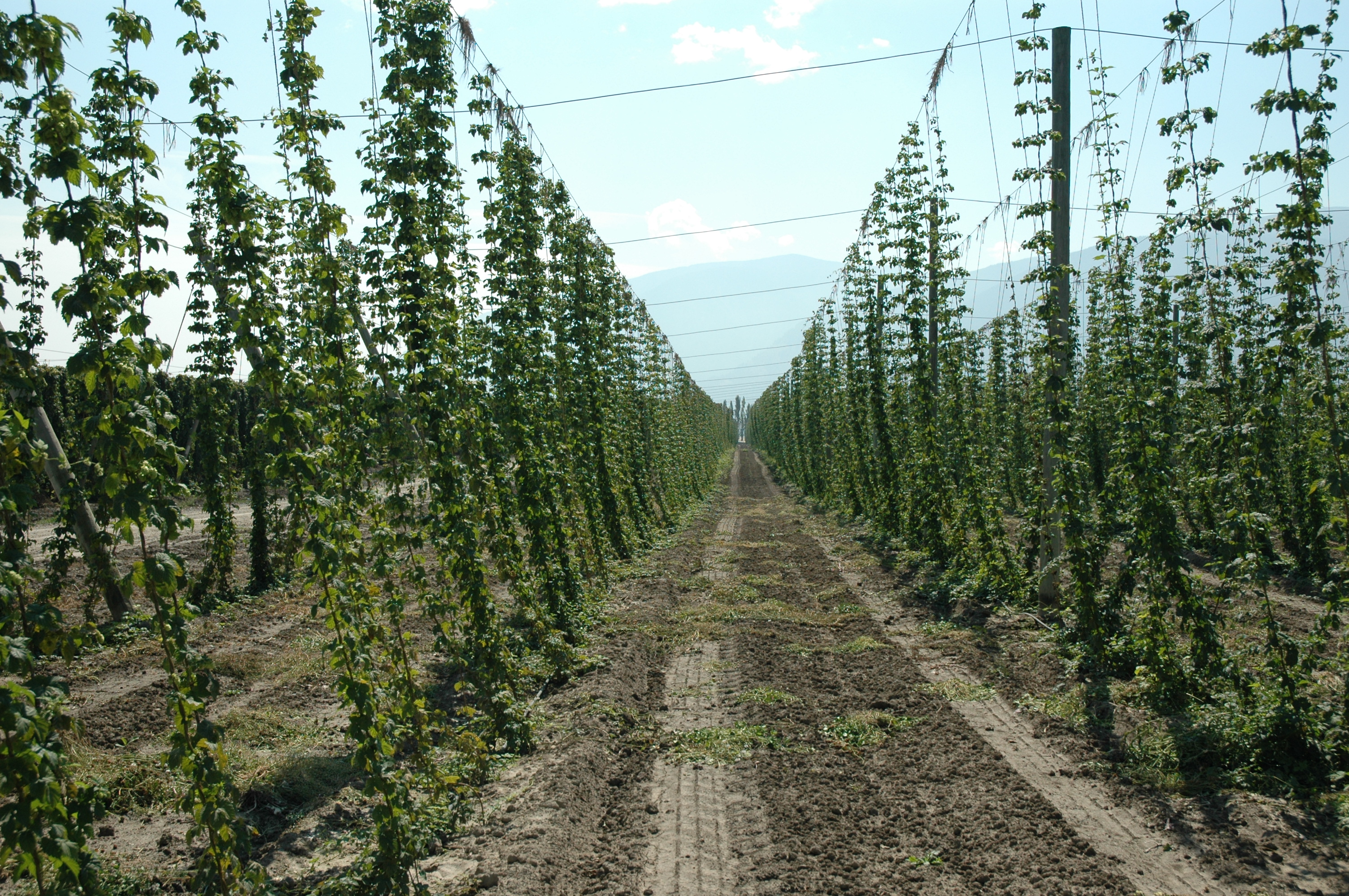
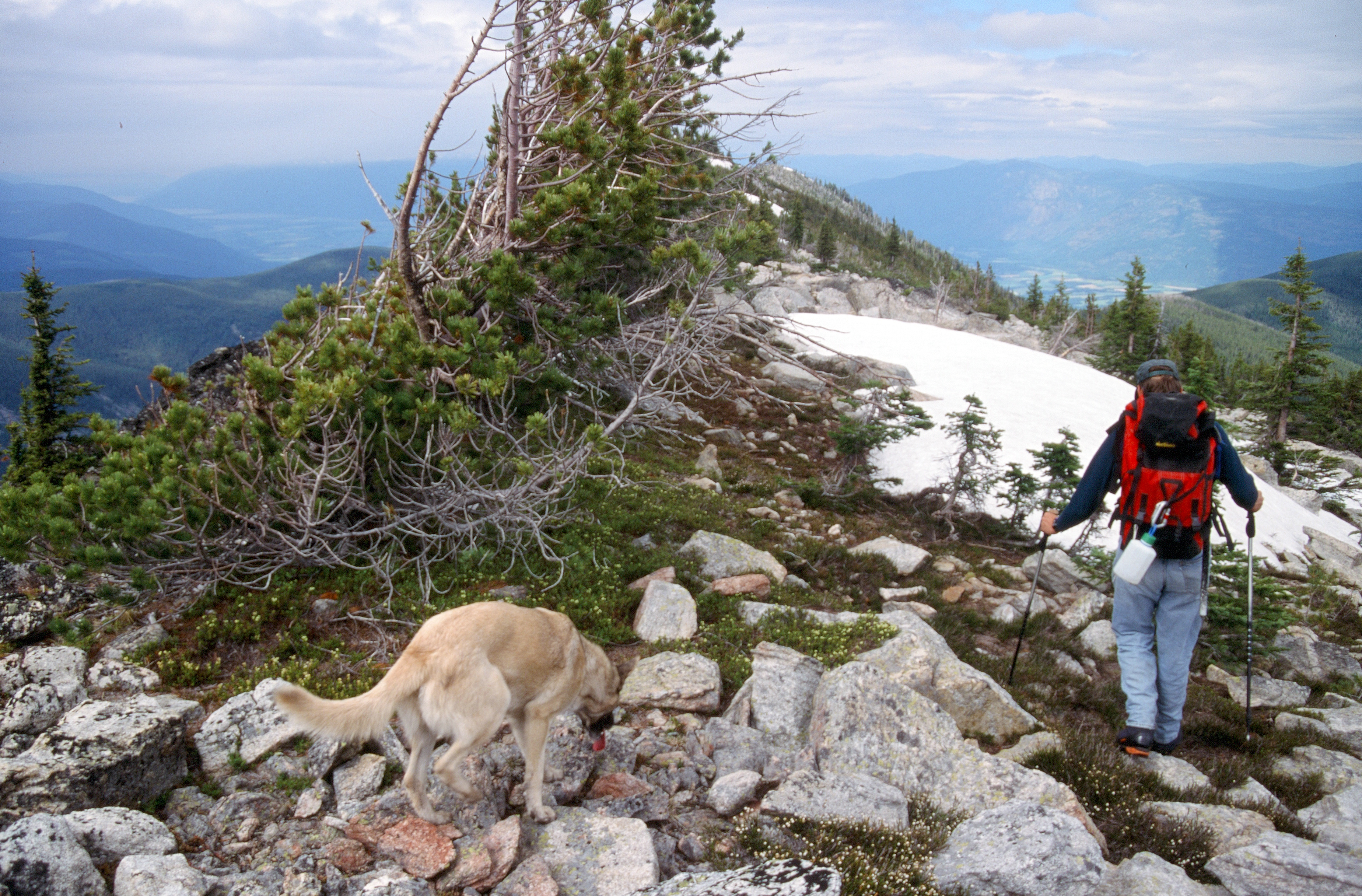
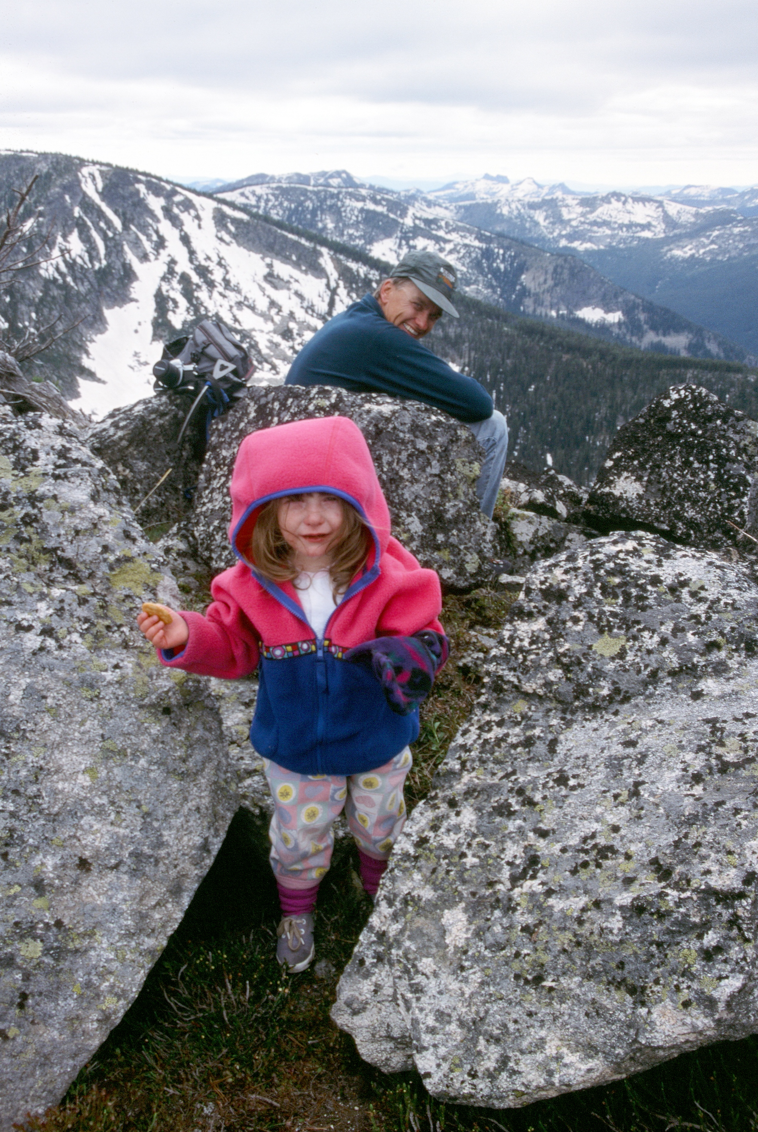
Fotos
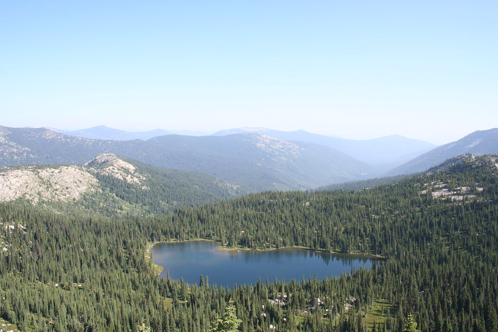
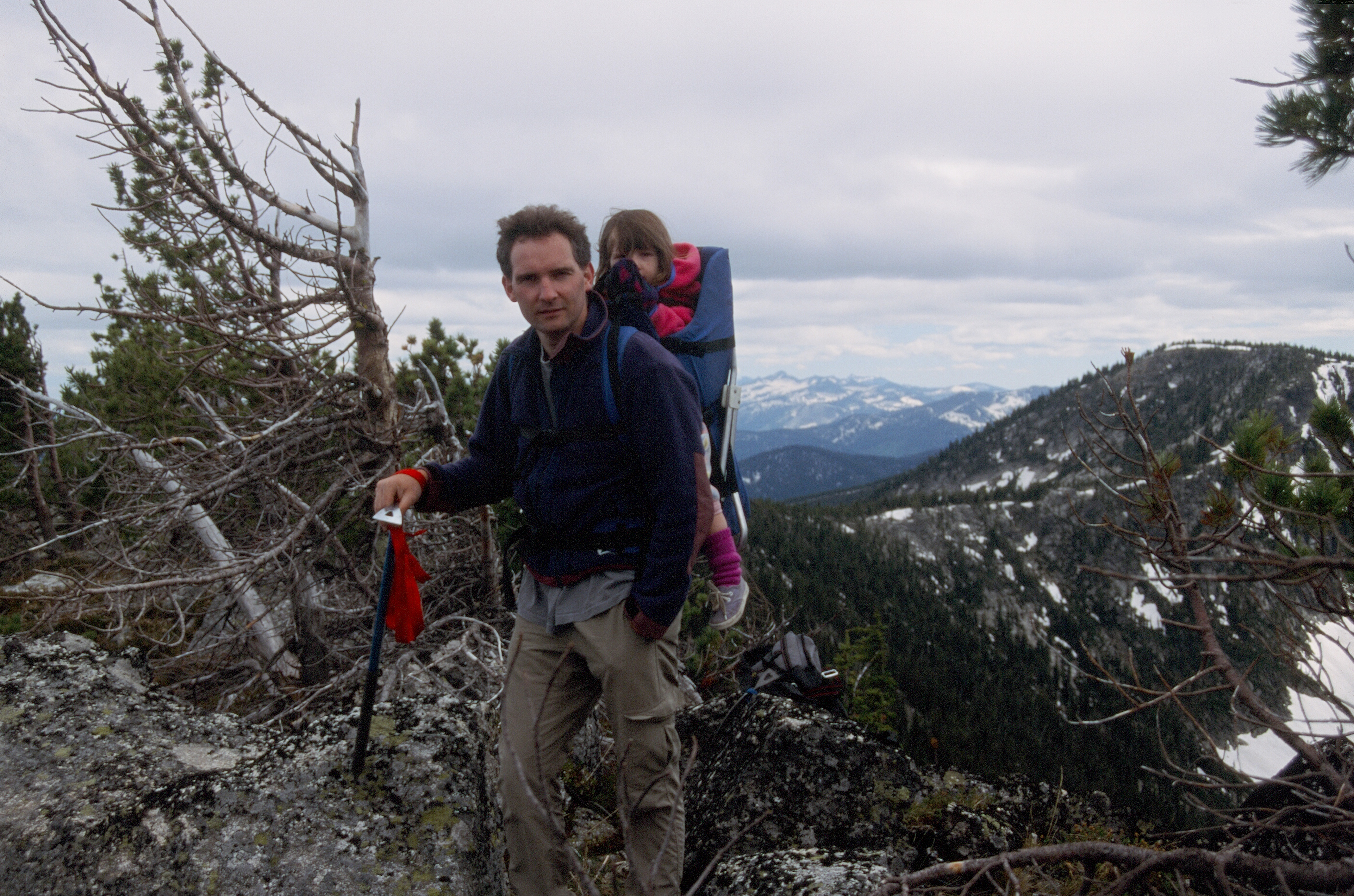
A View of West Fork Lake from the Top
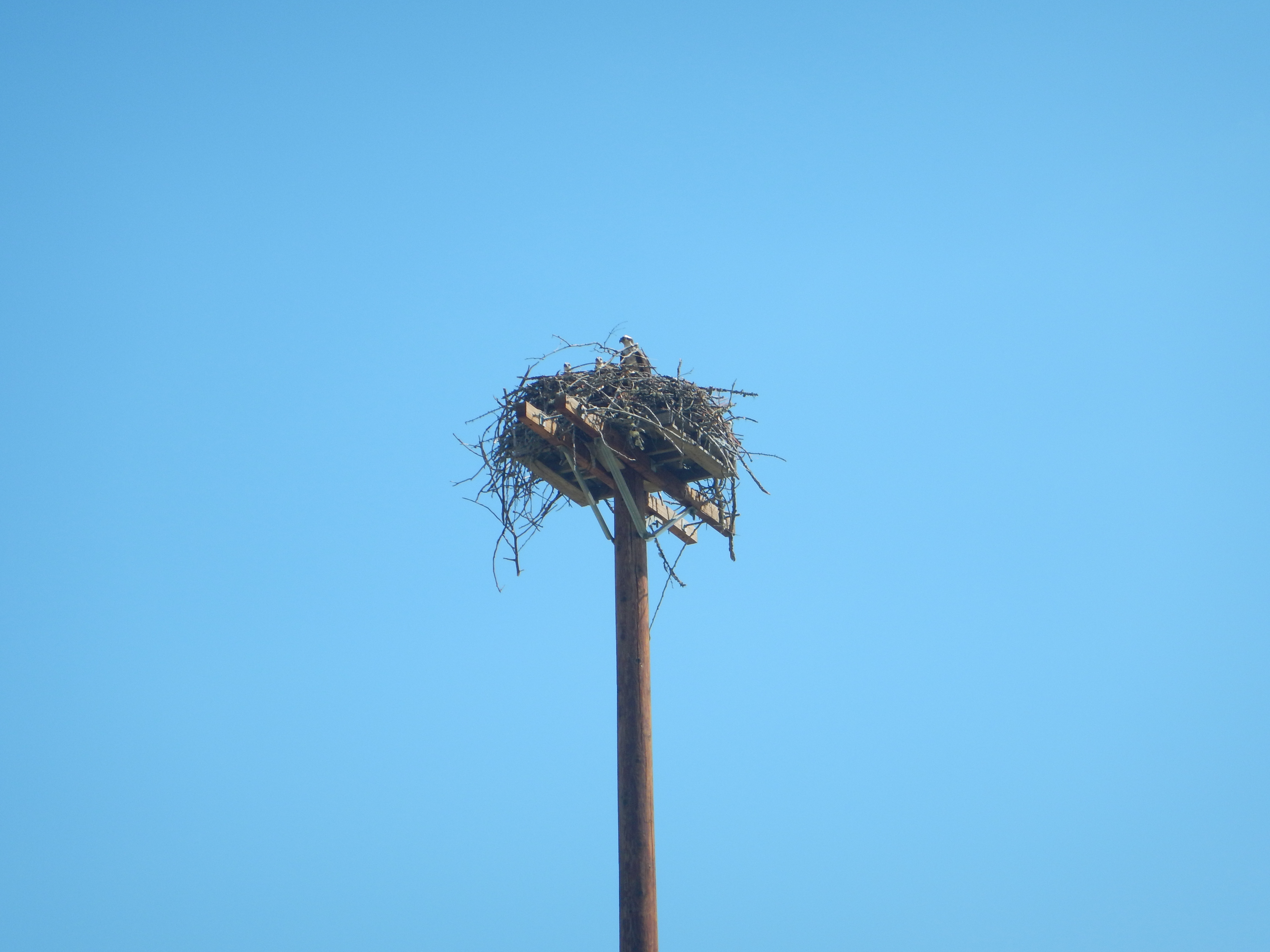
Osprey nest
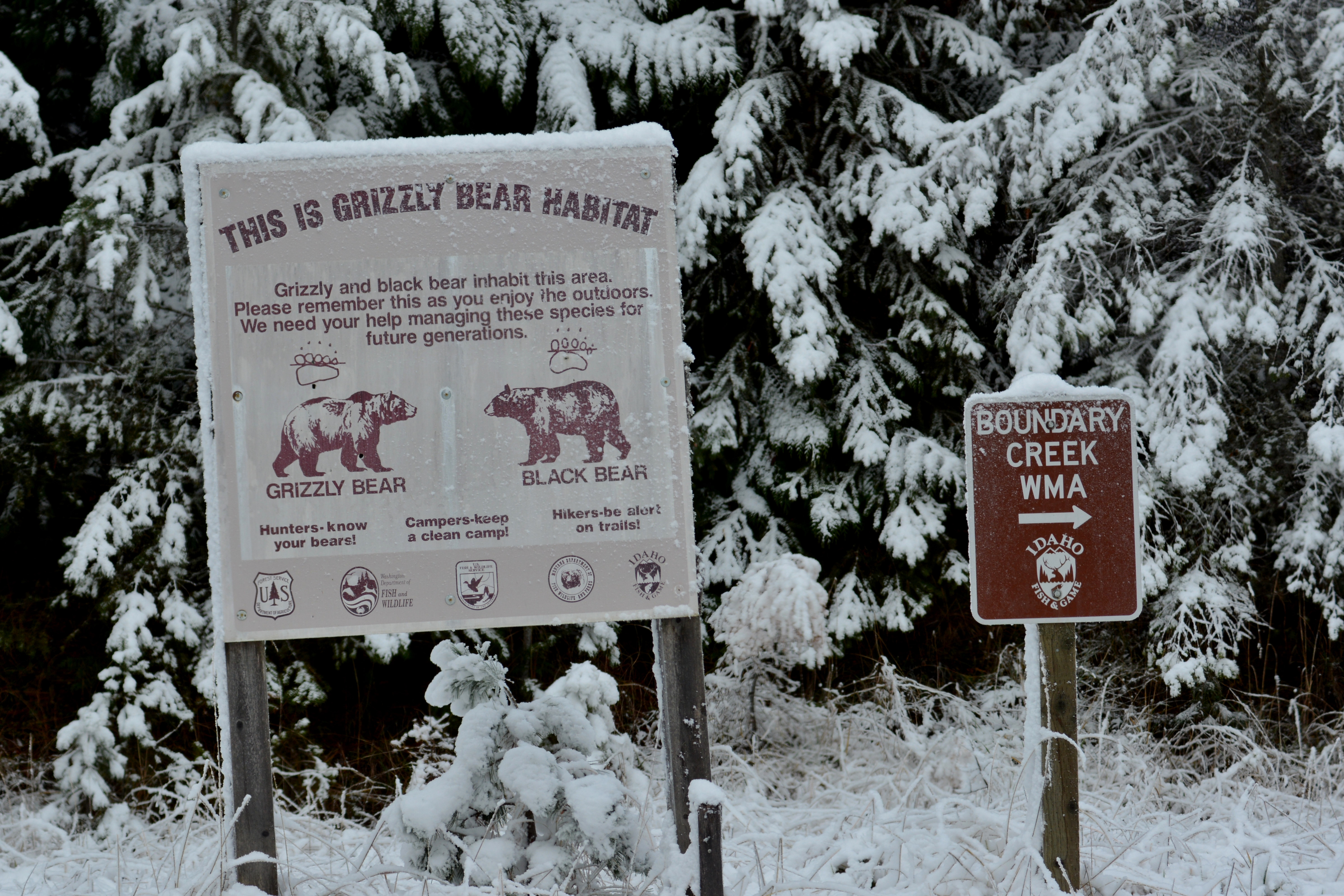
A sign in northern Idaho
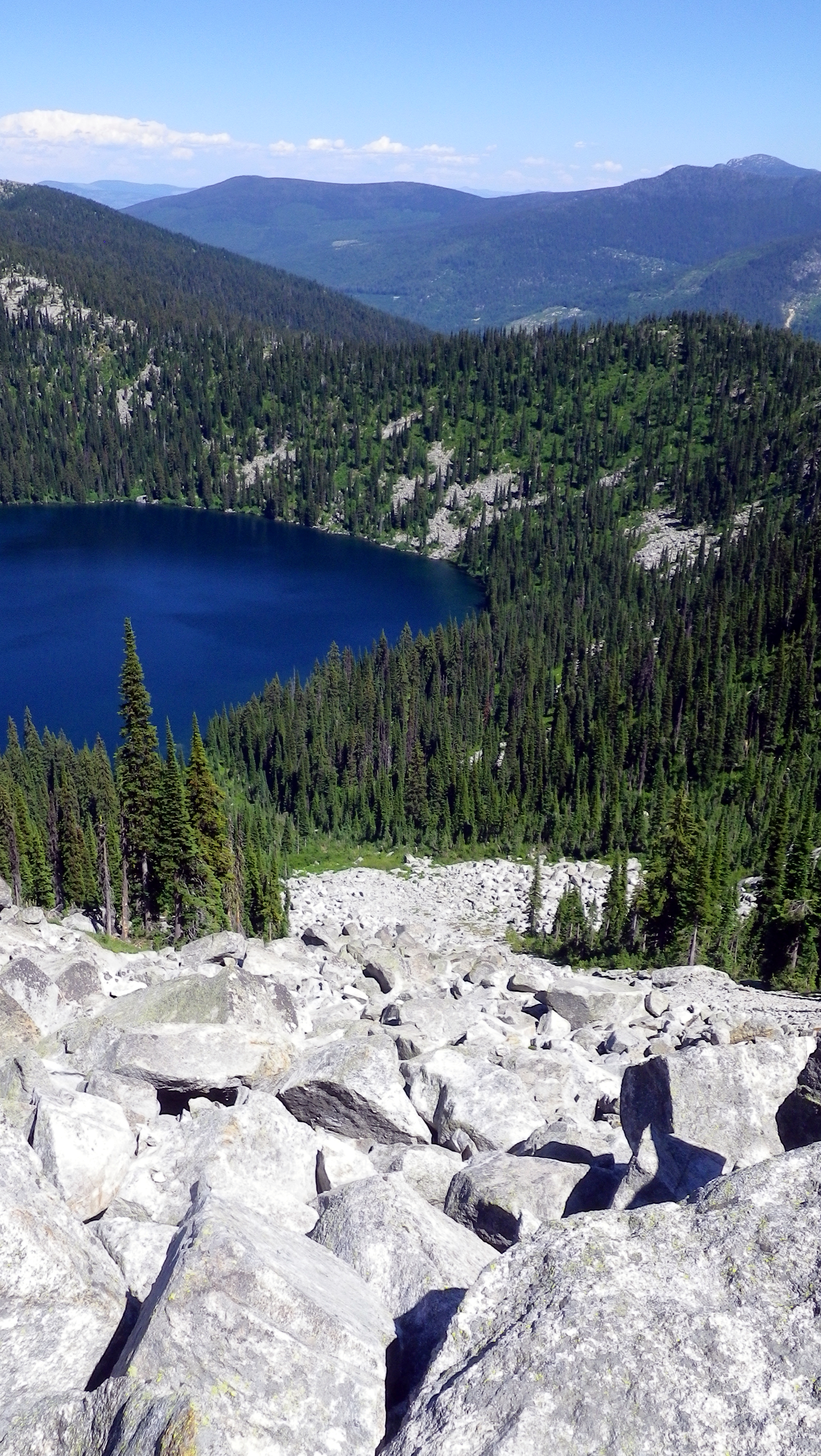
Hidden Lake

Western Meadowlark

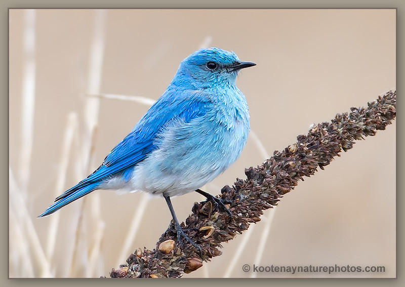
Mountain Bluebird

Red-tailed Hawk
Mountain Bluebird

Red-tailed Hawk with Prey

Hooded Merganser
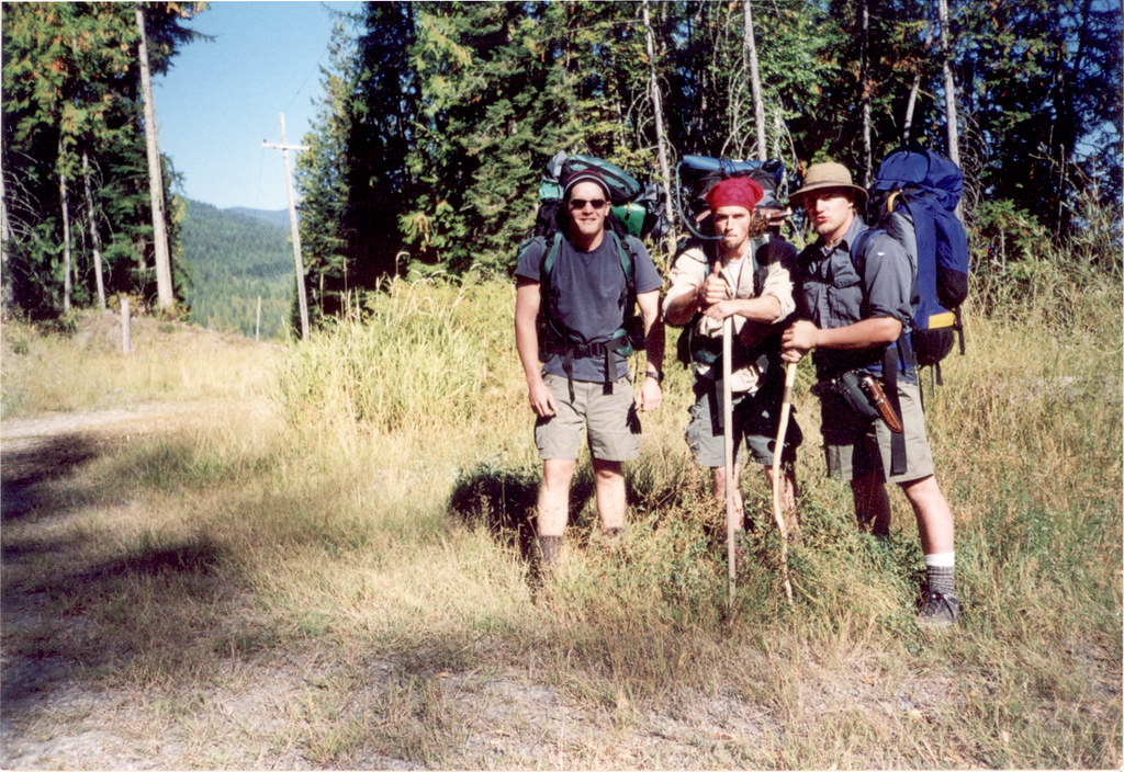
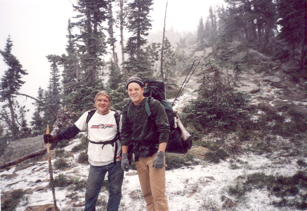
Ready for Long Canyon
2006-08-15 14-31-43
2006-08-15 14-31-32
2006-08-15 15-26-33
2006-08-15 14-58-18

2006-08-15 14-58-09
19990716-001
19990716-002

19990716-003
19990716-004-2311-Fisher Peak-Summit
Me and Gus Leaving Big Fisher Lake
2006-08-15 14-57-43
Mapa de Lone Tree Peak, Idaho, EE. UU.
Buscar otro lugar
Lugares cercanos
Parker Peak, Idaho, EE. UU.
Smith Falls, Idaho, EE. UU.
Reclamation Road, Reclamation Rd, Creston, BC V0B, Canadá
Boundary County HP, Idaho, EE. UU.
Teetzel Rd, Creston, BC V0B 1G7, Canadá
Condado de Boundary, Idaho, EE. UU.
Eneas Peak, Idaho, EE. UU.
Leaning Tree Rd, Creston, BC V0B 1G2, Canadá
Farnham Peak, Idaho, EE. UU.
Porthill Rd, Creston, BC V0B 1G2, Canadá
Creston, BC V0B, Canadá
Town Of Creston, 10th Ave N, Creston, BC V0B 1G0, Canadá
Northwest Blvd, Creston, BC V0B 1G6, Canadá
16 Ave S, Creston, BC V0B 1G5, Canadá
Hillside St, Creston, BC V0B 1G4, Canadá
19 Ave S, Creston, BC V0B 1G5, Canadá
16 Ave N, Creston, BC V0B 1G5, Canadá
Harrison Peak, Idaho, EE. UU.
Wynndel, BC V0B, Canadá
Erickson, BC V0B, Canadá
Búsquedas recientes
- Horas de salida y puesta de sol de 大下港, Sekizenoge, Imabari, Ehime -, Japan
- Horas de salida y puesta de sol de Oge port Ferry Terminal, -1 Sekizenōge, Imabari, Ehime -, Japan
- Horas de salida y puesta de sol de San Telmo, Cdad. Autónoma de Buenos Aires, Argentina
- Horas de salida y puesta de sol de Congressional Dr, Stevensville, MD, USA
- Horas de salida y puesta de sol de Papingo 04, Grecia
- Horas de salida y puesta de sol de Pagonija rock, Kranto 7-oji g. 8"N, Kaunas, Lituania
- Horas de salida y puesta de sol de Co Rd 87, Jamestown, CO, USA
- Horas de salida y puesta de sol de Tenjo, Cundinamarca, Colombia
- Horas de salida y puesta de sol de -1 Gosho, Ichihara, Chiba -, Japón
- Horas de salida y puesta de sol de -, Japón