Horas de salida y puesta de sol de Hunters, Washington, EE. UU.
Location: Estados Unidos > Washington > Condado de Stevens >
Zona horaria:
America/Los_Angeles
Hora local:
2024-04-30 07:32:53
Longitud:
-118.2022917
Latitud:
48.1171945
Salida de sol de hoy:
05:34:00 AM
Puesta de sol de hoy:
08:05:49 PM
La duración del día hoy:
14h 31m 49s
Salida de sol de mañana:
05:32:22 AM
Puesta de sol de mañana:
08:07:13 PM
La duración del día mañana:
14h 34m 51s
Mostrar todas las fechas
| Fecha | Salida de sol | Puesta de sol | Duración del día |
|---|---|---|---|
| 01/01/2024 | 07:42:56 AM | 04:10:25 PM | 8h 27m 29s |
| 02/01/2024 | 07:42:52 AM | 04:11:25 PM | 8h 28m 33s |
| 03/01/2024 | 07:42:44 AM | 04:12:28 PM | 8h 29m 44s |
| 04/01/2024 | 07:42:33 AM | 04:13:33 PM | 8h 31m 0s |
| 05/01/2024 | 07:42:20 AM | 04:14:40 PM | 8h 32m 20s |
| 06/01/2024 | 07:42:03 AM | 04:15:48 PM | 8h 33m 45s |
| 07/01/2024 | 07:41:44 AM | 04:16:59 PM | 8h 35m 15s |
| 08/01/2024 | 07:41:22 AM | 04:18:11 PM | 8h 36m 49s |
| 09/01/2024 | 07:40:57 AM | 04:19:26 PM | 8h 38m 29s |
| 10/01/2024 | 07:40:29 AM | 04:20:42 PM | 8h 40m 13s |
| 11/01/2024 | 07:39:58 AM | 04:21:59 PM | 8h 42m 1s |
| 12/01/2024 | 07:39:25 AM | 04:23:18 PM | 8h 43m 53s |
| 13/01/2024 | 07:38:49 AM | 04:24:39 PM | 8h 45m 50s |
| 14/01/2024 | 07:38:10 AM | 04:26:01 PM | 8h 47m 51s |
| 15/01/2024 | 07:37:29 AM | 04:27:24 PM | 8h 49m 55s |
| 16/01/2024 | 07:36:45 AM | 04:28:48 PM | 8h 52m 3s |
| 17/01/2024 | 07:35:58 AM | 04:30:14 PM | 8h 54m 16s |
| 18/01/2024 | 07:35:09 AM | 04:31:41 PM | 8h 56m 32s |
| 19/01/2024 | 07:34:17 AM | 04:33:08 PM | 8h 58m 51s |
| 20/01/2024 | 07:33:23 AM | 04:34:37 PM | 9h 1m 14s |
| 21/01/2024 | 07:32:26 AM | 04:36:07 PM | 9h 3m 41s |
| 22/01/2024 | 07:31:28 AM | 04:37:37 PM | 9h 6m 9s |
| 23/01/2024 | 07:30:26 AM | 04:39:09 PM | 9h 8m 43s |
| 24/01/2024 | 07:29:23 AM | 04:40:41 PM | 9h 11m 18s |
| 25/01/2024 | 07:28:17 AM | 04:42:13 PM | 9h 13m 56s |
| 26/01/2024 | 07:27:09 AM | 04:43:46 PM | 9h 16m 37s |
| 27/01/2024 | 07:25:59 AM | 04:45:20 PM | 9h 19m 21s |
| 28/01/2024 | 07:24:47 AM | 04:46:54 PM | 9h 22m 7s |
| 29/01/2024 | 07:23:32 AM | 04:48:29 PM | 9h 24m 57s |
| 30/01/2024 | 07:22:16 AM | 04:50:04 PM | 9h 27m 48s |
| 31/01/2024 | 07:20:58 AM | 04:51:40 PM | 9h 30m 42s |
| 01/02/2024 | 07:19:38 AM | 04:53:15 PM | 9h 33m 37s |
| 02/02/2024 | 07:18:16 AM | 04:54:51 PM | 9h 36m 35s |
| 03/02/2024 | 07:16:52 AM | 04:56:27 PM | 9h 39m 35s |
| 04/02/2024 | 07:15:26 AM | 04:58:03 PM | 9h 42m 37s |
| 05/02/2024 | 07:13:59 AM | 04:59:40 PM | 9h 45m 41s |
| 06/02/2024 | 07:12:30 AM | 05:01:16 PM | 9h 48m 46s |
| 07/02/2024 | 07:10:59 AM | 05:02:53 PM | 9h 51m 54s |
| 08/02/2024 | 07:09:27 AM | 05:04:29 PM | 9h 55m 2s |
| 09/02/2024 | 07:07:53 AM | 05:06:06 PM | 9h 58m 13s |
| 10/02/2024 | 07:06:18 AM | 05:07:42 PM | 10h 1m 24s |
| 11/02/2024 | 07:04:41 AM | 05:09:18 PM | 10h 4m 37s |
| 12/02/2024 | 07:03:03 AM | 05:10:55 PM | 10h 7m 52s |
| 13/02/2024 | 07:01:23 AM | 05:12:31 PM | 10h 11m 8s |
| 14/02/2024 | 06:59:43 AM | 05:14:07 PM | 10h 14m 24s |
| 15/02/2024 | 06:58:00 AM | 05:15:43 PM | 10h 17m 43s |
| 16/02/2024 | 06:56:17 AM | 05:17:18 PM | 10h 21m 1s |
| 17/02/2024 | 06:54:32 AM | 05:18:54 PM | 10h 24m 22s |
| 18/02/2024 | 06:52:47 AM | 05:20:29 PM | 10h 27m 42s |
| 19/02/2024 | 06:51:00 AM | 05:22:04 PM | 10h 31m 4s |
| 20/02/2024 | 06:49:12 AM | 05:23:39 PM | 10h 34m 27s |
| 21/02/2024 | 06:47:23 AM | 05:25:13 PM | 10h 37m 50s |
| 22/02/2024 | 06:45:33 AM | 05:26:47 PM | 10h 41m 14s |
| 23/02/2024 | 06:43:42 AM | 05:28:21 PM | 10h 44m 39s |
| 24/02/2024 | 06:41:50 AM | 05:29:55 PM | 10h 48m 5s |
| 25/02/2024 | 06:39:57 AM | 05:31:29 PM | 10h 51m 32s |
| 26/02/2024 | 06:38:04 AM | 05:33:02 PM | 10h 54m 58s |
| 27/02/2024 | 06:36:09 AM | 05:34:35 PM | 10h 58m 26s |
| 28/02/2024 | 06:34:14 AM | 05:36:07 PM | 11h 1m 53s |
| 29/02/2024 | 06:32:18 AM | 05:37:40 PM | 11h 5m 22s |
| 01/03/2024 | 06:30:22 AM | 05:39:12 PM | 11h 8m 50s |
| 02/03/2024 | 06:28:24 AM | 05:40:44 PM | 11h 12m 20s |
| 03/03/2024 | 06:26:26 AM | 05:42:15 PM | 11h 15m 49s |
| 04/03/2024 | 06:24:28 AM | 05:43:46 PM | 11h 19m 18s |
| 05/03/2024 | 06:22:29 AM | 05:45:17 PM | 11h 22m 48s |
| 06/03/2024 | 06:20:29 AM | 05:46:48 PM | 11h 26m 19s |
| 07/03/2024 | 06:18:29 AM | 05:48:19 PM | 11h 29m 50s |
| 08/03/2024 | 06:16:28 AM | 05:49:49 PM | 11h 33m 21s |
| 09/03/2024 | 06:14:27 AM | 05:51:19 PM | 11h 36m 52s |
| 10/03/2024 | 07:12:31 AM | 06:52:45 PM | 11h 40m 14s |
| 11/03/2024 | 07:10:29 AM | 06:54:14 PM | 11h 43m 45s |
| 12/03/2024 | 07:08:27 AM | 06:55:44 PM | 11h 47m 17s |
| 13/03/2024 | 07:06:25 AM | 06:57:13 PM | 11h 50m 48s |
| 14/03/2024 | 07:04:22 AM | 06:58:42 PM | 11h 54m 20s |
| 15/03/2024 | 07:02:19 AM | 07:00:10 PM | 11h 57m 51s |
| 16/03/2024 | 07:00:16 AM | 07:01:39 PM | 12h 1m 23s |
| 17/03/2024 | 06:58:13 AM | 07:03:07 PM | 12h 4m 54s |
| 18/03/2024 | 06:56:10 AM | 07:04:35 PM | 12h 8m 25s |
| 19/03/2024 | 06:54:06 AM | 07:06:03 PM | 12h 11m 57s |
| 20/03/2024 | 06:52:02 AM | 07:07:31 PM | 12h 15m 29s |
| 21/03/2024 | 06:49:59 AM | 07:08:59 PM | 12h 19m 0s |
| 22/03/2024 | 06:47:55 AM | 07:10:27 PM | 12h 22m 32s |
| 23/03/2024 | 06:45:51 AM | 07:11:54 PM | 12h 26m 3s |
| 24/03/2024 | 06:43:48 AM | 07:13:22 PM | 12h 29m 34s |
| 25/03/2024 | 06:41:44 AM | 07:14:49 PM | 12h 33m 5s |
| 26/03/2024 | 06:39:41 AM | 07:16:16 PM | 12h 36m 35s |
| 27/03/2024 | 06:37:38 AM | 07:17:43 PM | 12h 40m 5s |
| 28/03/2024 | 06:35:34 AM | 07:19:10 PM | 12h 43m 36s |
| 29/03/2024 | 06:33:32 AM | 07:20:37 PM | 12h 47m 5s |
| 30/03/2024 | 06:31:29 AM | 07:22:04 PM | 12h 50m 35s |
| 31/03/2024 | 06:29:26 AM | 07:23:31 PM | 12h 54m 5s |
| 01/04/2024 | 06:27:24 AM | 07:24:58 PM | 12h 57m 34s |
| 02/04/2024 | 06:25:22 AM | 07:26:25 PM | 13h 1m 3s |
| 03/04/2024 | 06:23:21 AM | 07:27:52 PM | 13h 4m 31s |
| 04/04/2024 | 06:21:20 AM | 07:29:18 PM | 13h 7m 58s |
| 05/04/2024 | 06:19:19 AM | 07:30:45 PM | 13h 11m 26s |
| 06/04/2024 | 06:17:19 AM | 07:32:12 PM | 13h 14m 53s |
| 07/04/2024 | 06:15:19 AM | 07:33:39 PM | 13h 18m 20s |
| 08/04/2024 | 06:13:20 AM | 07:35:05 PM | 13h 21m 45s |
| 09/04/2024 | 06:11:21 AM | 07:36:32 PM | 13h 25m 11s |
| 10/04/2024 | 06:09:23 AM | 07:37:59 PM | 13h 28m 36s |
| 11/04/2024 | 06:07:26 AM | 07:39:25 PM | 13h 31m 59s |
| 12/04/2024 | 06:05:29 AM | 07:40:52 PM | 13h 35m 23s |
| 13/04/2024 | 06:03:33 AM | 07:42:19 PM | 13h 38m 46s |
| 14/04/2024 | 06:01:38 AM | 07:43:45 PM | 13h 42m 7s |
| 15/04/2024 | 05:59:43 AM | 07:45:12 PM | 13h 45m 29s |
| 16/04/2024 | 05:57:49 AM | 07:46:39 PM | 13h 48m 50s |
| 17/04/2024 | 05:55:56 AM | 07:48:05 PM | 13h 52m 9s |
| 18/04/2024 | 05:54:04 AM | 07:49:32 PM | 13h 55m 28s |
| 19/04/2024 | 05:52:13 AM | 07:50:58 PM | 13h 58m 45s |
| 20/04/2024 | 05:50:22 AM | 07:52:24 PM | 14h 2m 2s |
| 21/04/2024 | 05:48:33 AM | 07:53:51 PM | 14h 5m 18s |
| 22/04/2024 | 05:46:45 AM | 07:55:17 PM | 14h 8m 32s |
| 23/04/2024 | 05:44:57 AM | 07:56:43 PM | 14h 11m 46s |
| 24/04/2024 | 05:43:11 AM | 07:58:09 PM | 14h 14m 58s |
| 25/04/2024 | 05:41:26 AM | 07:59:35 PM | 14h 18m 9s |
| 26/04/2024 | 05:39:42 AM | 08:01:01 PM | 14h 21m 19s |
| 27/04/2024 | 05:37:59 AM | 08:02:26 PM | 14h 24m 27s |
| 28/04/2024 | 05:36:18 AM | 08:03:52 PM | 14h 27m 34s |
| 29/04/2024 | 05:34:37 AM | 08:05:17 PM | 14h 30m 40s |
| 30/04/2024 | 05:32:58 AM | 08:06:42 PM | 14h 33m 44s |
| 01/05/2024 | 05:31:21 AM | 08:08:06 PM | 14h 36m 45s |
| 02/05/2024 | 05:29:45 AM | 08:09:31 PM | 14h 39m 46s |
| 03/05/2024 | 05:28:10 AM | 08:10:55 PM | 14h 42m 45s |
| 04/05/2024 | 05:26:37 AM | 08:12:18 PM | 14h 45m 41s |
| 05/05/2024 | 05:25:05 AM | 08:13:41 PM | 14h 48m 36s |
| 06/05/2024 | 05:23:35 AM | 08:15:04 PM | 14h 51m 29s |
| 07/05/2024 | 05:22:06 AM | 08:16:27 PM | 14h 54m 21s |
| 08/05/2024 | 05:20:39 AM | 08:17:48 PM | 14h 57m 9s |
| 09/05/2024 | 05:19:14 AM | 08:19:10 PM | 14h 59m 56s |
| 10/05/2024 | 05:17:51 AM | 08:20:30 PM | 15h 2m 39s |
| 11/05/2024 | 05:16:29 AM | 08:21:50 PM | 15h 5m 21s |
| 12/05/2024 | 05:15:09 AM | 08:23:10 PM | 15h 8m 1s |
| 13/05/2024 | 05:13:51 AM | 08:24:29 PM | 15h 10m 38s |
| 14/05/2024 | 05:12:35 AM | 08:25:46 PM | 15h 13m 11s |
| 15/05/2024 | 05:11:20 AM | 08:27:04 PM | 15h 15m 44s |
| 16/05/2024 | 05:10:08 AM | 08:28:20 PM | 15h 18m 12s |
| 17/05/2024 | 05:08:58 AM | 08:29:35 PM | 15h 20m 37s |
| 18/05/2024 | 05:07:49 AM | 08:30:50 PM | 15h 23m 1s |
| 19/05/2024 | 05:06:43 AM | 08:32:03 PM | 15h 25m 20s |
| 20/05/2024 | 05:05:39 AM | 08:33:15 PM | 15h 27m 36s |
| 21/05/2024 | 05:04:38 AM | 08:34:27 PM | 15h 29m 49s |
| 22/05/2024 | 05:03:38 AM | 08:35:37 PM | 15h 31m 59s |
| 23/05/2024 | 05:02:41 AM | 08:36:45 PM | 15h 34m 4s |
| 24/05/2024 | 05:01:45 AM | 08:37:53 PM | 15h 36m 8s |
| 25/05/2024 | 05:00:53 AM | 08:38:59 PM | 15h 38m 6s |
| 26/05/2024 | 05:00:02 AM | 08:40:04 PM | 15h 40m 2s |
| 27/05/2024 | 04:59:14 AM | 08:41:07 PM | 15h 41m 53s |
| 28/05/2024 | 04:58:29 AM | 08:42:09 PM | 15h 43m 40s |
| 29/05/2024 | 04:57:45 AM | 08:43:09 PM | 15h 45m 24s |
| 30/05/2024 | 04:57:05 AM | 08:44:08 PM | 15h 47m 3s |
| 31/05/2024 | 04:56:26 AM | 08:45:05 PM | 15h 48m 39s |
| 01/06/2024 | 04:55:51 AM | 08:46:00 PM | 15h 50m 9s |
| 02/06/2024 | 04:55:18 AM | 08:46:53 PM | 15h 51m 35s |
| 03/06/2024 | 04:54:47 AM | 08:47:44 PM | 15h 52m 57s |
| 04/06/2024 | 04:54:19 AM | 08:48:34 PM | 15h 54m 15s |
| 05/06/2024 | 04:53:53 AM | 08:49:21 PM | 15h 55m 28s |
| 06/06/2024 | 04:53:31 AM | 08:50:07 PM | 15h 56m 36s |
| 07/06/2024 | 04:53:10 AM | 08:50:50 PM | 15h 57m 40s |
| 08/06/2024 | 04:52:53 AM | 08:51:32 PM | 15h 58m 39s |
| 09/06/2024 | 04:52:38 AM | 08:52:11 PM | 15h 59m 33s |
| 10/06/2024 | 04:52:25 AM | 08:52:47 PM | 16h 0m 22s |
| 11/06/2024 | 04:52:16 AM | 08:53:22 PM | 16h 1m 6s |
| 12/06/2024 | 04:52:09 AM | 08:53:54 PM | 16h 1m 45s |
| 13/06/2024 | 04:52:04 AM | 08:54:24 PM | 16h 2m 20s |
| 14/06/2024 | 04:52:03 AM | 08:54:52 PM | 16h 2m 49s |
| 15/06/2024 | 04:52:03 AM | 08:55:17 PM | 16h 3m 14s |
| 16/06/2024 | 04:52:07 AM | 08:55:39 PM | 16h 3m 32s |
| 17/06/2024 | 04:52:13 AM | 08:55:59 PM | 16h 3m 46s |
| 18/06/2024 | 04:52:22 AM | 08:56:17 PM | 16h 3m 55s |
| 19/06/2024 | 04:52:33 AM | 08:56:32 PM | 16h 3m 59s |
| 20/06/2024 | 04:52:46 AM | 08:56:44 PM | 16h 3m 58s |
| 21/06/2024 | 04:53:03 AM | 08:56:54 PM | 16h 3m 51s |
| 22/06/2024 | 04:53:21 AM | 08:57:01 PM | 16h 3m 40s |
| 23/06/2024 | 04:53:43 AM | 08:57:06 PM | 16h 3m 23s |
| 24/06/2024 | 04:54:06 AM | 08:57:08 PM | 16h 3m 2s |
| 25/06/2024 | 04:54:32 AM | 08:57:07 PM | 16h 2m 35s |
| 26/06/2024 | 04:55:00 AM | 08:57:03 PM | 16h 2m 3s |
| 27/06/2024 | 04:55:31 AM | 08:56:57 PM | 16h 1m 26s |
| 28/06/2024 | 04:56:04 AM | 08:56:48 PM | 16h 0m 44s |
| 29/06/2024 | 04:56:39 AM | 08:56:37 PM | 15h 59m 58s |
| 30/06/2024 | 04:57:16 AM | 08:56:22 PM | 15h 59m 6s |
| 01/07/2024 | 04:57:56 AM | 08:56:05 PM | 15h 58m 9s |
| 02/07/2024 | 04:58:37 AM | 08:55:46 PM | 15h 57m 9s |
| 03/07/2024 | 04:59:21 AM | 08:55:23 PM | 15h 56m 2s |
| 04/07/2024 | 05:00:06 AM | 08:54:59 PM | 15h 54m 53s |
| 05/07/2024 | 05:00:54 AM | 08:54:31 PM | 15h 53m 37s |
| 06/07/2024 | 05:01:43 AM | 08:54:01 PM | 15h 52m 18s |
| 07/07/2024 | 05:02:34 AM | 08:53:28 PM | 15h 50m 54s |
| 08/07/2024 | 05:03:27 AM | 08:52:53 PM | 15h 49m 26s |
| 09/07/2024 | 05:04:21 AM | 08:52:15 PM | 15h 47m 54s |
| 10/07/2024 | 05:05:17 AM | 08:51:34 PM | 15h 46m 17s |
| 11/07/2024 | 05:06:15 AM | 08:50:51 PM | 15h 44m 36s |
| 12/07/2024 | 05:07:14 AM | 08:50:06 PM | 15h 42m 52s |
| 13/07/2024 | 05:08:15 AM | 08:49:18 PM | 15h 41m 3s |
| 14/07/2024 | 05:09:17 AM | 08:48:28 PM | 15h 39m 11s |
| 15/07/2024 | 05:10:21 AM | 08:47:35 PM | 15h 37m 14s |
| 16/07/2024 | 05:11:25 AM | 08:46:40 PM | 15h 35m 15s |
| 17/07/2024 | 05:12:31 AM | 08:45:43 PM | 15h 33m 12s |
| 18/07/2024 | 05:13:38 AM | 08:44:43 PM | 15h 31m 5s |
| 19/07/2024 | 05:14:47 AM | 08:43:42 PM | 15h 28m 55s |
| 20/07/2024 | 05:15:56 AM | 08:42:38 PM | 15h 26m 42s |
| 21/07/2024 | 05:17:06 AM | 08:41:31 PM | 15h 24m 25s |
| 22/07/2024 | 05:18:18 AM | 08:40:23 PM | 15h 22m 5s |
| 23/07/2024 | 05:19:30 AM | 08:39:13 PM | 15h 19m 43s |
| 24/07/2024 | 05:20:43 AM | 08:38:00 PM | 15h 17m 17s |
| 25/07/2024 | 05:21:57 AM | 08:36:46 PM | 15h 14m 49s |
| 26/07/2024 | 05:23:12 AM | 08:35:29 PM | 15h 12m 17s |
| 27/07/2024 | 05:24:27 AM | 08:34:11 PM | 15h 9m 44s |
| 28/07/2024 | 05:25:43 AM | 08:32:51 PM | 15h 7m 8s |
| 29/07/2024 | 05:27:00 AM | 08:31:29 PM | 15h 4m 29s |
| 30/07/2024 | 05:28:17 AM | 08:30:05 PM | 15h 1m 48s |
| 31/07/2024 | 05:29:35 AM | 08:28:40 PM | 14h 59m 5s |
| 01/08/2024 | 05:30:53 AM | 08:27:12 PM | 14h 56m 19s |
| 02/08/2024 | 05:32:12 AM | 08:25:43 PM | 14h 53m 31s |
| 03/08/2024 | 05:33:31 AM | 08:24:13 PM | 14h 50m 42s |
| 04/08/2024 | 05:34:50 AM | 08:22:41 PM | 14h 47m 51s |
| 05/08/2024 | 05:36:10 AM | 08:21:07 PM | 14h 44m 57s |
| 06/08/2024 | 05:37:30 AM | 08:19:32 PM | 14h 42m 2s |
| 07/08/2024 | 05:38:51 AM | 08:17:55 PM | 14h 39m 4s |
| 08/08/2024 | 05:40:12 AM | 08:16:17 PM | 14h 36m 5s |
| 09/08/2024 | 05:41:33 AM | 08:14:38 PM | 14h 33m 5s |
| 10/08/2024 | 05:42:54 AM | 08:12:57 PM | 14h 30m 3s |
| 11/08/2024 | 05:44:15 AM | 08:11:15 PM | 14h 27m 0s |
| 12/08/2024 | 05:45:37 AM | 08:09:31 PM | 14h 23m 54s |
| 13/08/2024 | 05:46:58 AM | 08:07:47 PM | 14h 20m 49s |
| 14/08/2024 | 05:48:20 AM | 08:06:01 PM | 14h 17m 41s |
| 15/08/2024 | 05:49:42 AM | 08:04:14 PM | 14h 14m 32s |
| 16/08/2024 | 05:51:04 AM | 08:02:26 PM | 14h 11m 22s |
| 17/08/2024 | 05:52:26 AM | 08:00:37 PM | 14h 8m 11s |
| 18/08/2024 | 05:53:48 AM | 07:58:47 PM | 14h 4m 59s |
| 19/08/2024 | 05:55:10 AM | 07:56:56 PM | 14h 1m 46s |
| 20/08/2024 | 05:56:32 AM | 07:55:04 PM | 13h 58m 32s |
| 21/08/2024 | 05:57:55 AM | 07:53:11 PM | 13h 55m 16s |
| 22/08/2024 | 05:59:17 AM | 07:51:17 PM | 13h 52m 0s |
| 23/08/2024 | 06:00:39 AM | 07:49:22 PM | 13h 48m 43s |
| 24/08/2024 | 06:02:01 AM | 07:47:26 PM | 13h 45m 25s |
| 25/08/2024 | 06:03:23 AM | 07:45:30 PM | 13h 42m 7s |
| 26/08/2024 | 06:04:45 AM | 07:43:33 PM | 13h 38m 48s |
| 27/08/2024 | 06:06:07 AM | 07:41:35 PM | 13h 35m 28s |
| 28/08/2024 | 06:07:30 AM | 07:39:37 PM | 13h 32m 7s |
| 29/08/2024 | 06:08:52 AM | 07:37:38 PM | 13h 28m 46s |
| 30/08/2024 | 06:10:14 AM | 07:35:38 PM | 13h 25m 24s |
| 31/08/2024 | 06:11:36 AM | 07:33:38 PM | 13h 22m 2s |
| 01/09/2024 | 06:12:58 AM | 07:31:37 PM | 13h 18m 39s |
| 02/09/2024 | 06:14:20 AM | 07:29:35 PM | 13h 15m 15s |
| 03/09/2024 | 06:15:42 AM | 07:27:33 PM | 13h 11m 51s |
| 04/09/2024 | 06:17:04 AM | 07:25:31 PM | 13h 8m 27s |
| 05/09/2024 | 06:18:26 AM | 07:23:28 PM | 13h 5m 2s |
| 06/09/2024 | 06:19:48 AM | 07:21:25 PM | 13h 1m 37s |
| 07/09/2024 | 06:21:10 AM | 07:19:22 PM | 12h 58m 12s |
| 08/09/2024 | 06:22:32 AM | 07:17:18 PM | 12h 54m 46s |
| 09/09/2024 | 06:23:54 AM | 07:15:14 PM | 12h 51m 20s |
| 10/09/2024 | 06:25:16 AM | 07:13:10 PM | 12h 47m 54s |
| 11/09/2024 | 06:26:38 AM | 07:11:05 PM | 12h 44m 27s |
| 12/09/2024 | 06:28:00 AM | 07:09:00 PM | 12h 41m 0s |
| 13/09/2024 | 06:29:22 AM | 07:06:55 PM | 12h 37m 33s |
| 14/09/2024 | 06:30:45 AM | 07:04:50 PM | 12h 34m 5s |
| 15/09/2024 | 06:32:07 AM | 07:02:45 PM | 12h 30m 38s |
| 16/09/2024 | 06:33:29 AM | 07:00:39 PM | 12h 27m 10s |
| 17/09/2024 | 06:34:52 AM | 06:58:34 PM | 12h 23m 42s |
| 18/09/2024 | 06:36:14 AM | 06:56:29 PM | 12h 20m 15s |
| 19/09/2024 | 06:37:37 AM | 06:54:23 PM | 12h 16m 46s |
| 20/09/2024 | 06:39:00 AM | 06:52:18 PM | 12h 13m 18s |
| 21/09/2024 | 06:40:23 AM | 06:50:13 PM | 12h 9m 50s |
| 22/09/2024 | 06:41:46 AM | 06:48:07 PM | 12h 6m 21s |
| 23/09/2024 | 06:43:09 AM | 06:46:02 PM | 12h 2m 53s |
| 24/09/2024 | 06:44:33 AM | 06:43:58 PM | 11h 59m 25s |
| 25/09/2024 | 06:45:57 AM | 06:41:53 PM | 11h 55m 56s |
| 26/09/2024 | 06:47:20 AM | 06:39:48 PM | 11h 52m 28s |
| 27/09/2024 | 06:48:44 AM | 06:37:44 PM | 11h 49m 0s |
| 28/09/2024 | 06:50:09 AM | 06:35:40 PM | 11h 45m 31s |
| 29/09/2024 | 06:51:33 AM | 06:33:36 PM | 11h 42m 3s |
| 30/09/2024 | 06:52:58 AM | 06:31:33 PM | 11h 38m 35s |
| 01/10/2024 | 06:54:23 AM | 06:29:30 PM | 11h 35m 7s |
| 02/10/2024 | 06:55:48 AM | 06:27:28 PM | 11h 31m 40s |
| 03/10/2024 | 06:57:13 AM | 06:25:26 PM | 11h 28m 13s |
| 04/10/2024 | 06:58:39 AM | 06:23:24 PM | 11h 24m 45s |
| 05/10/2024 | 07:00:05 AM | 06:21:23 PM | 11h 21m 18s |
| 06/10/2024 | 07:01:31 AM | 06:19:22 PM | 11h 17m 51s |
| 07/10/2024 | 07:02:58 AM | 06:17:22 PM | 11h 14m 24s |
| 08/10/2024 | 07:04:25 AM | 06:15:23 PM | 11h 10m 58s |
| 09/10/2024 | 07:05:52 AM | 06:13:24 PM | 11h 7m 32s |
| 10/10/2024 | 07:07:19 AM | 06:11:26 PM | 11h 4m 7s |
| 11/10/2024 | 07:08:47 AM | 06:09:28 PM | 11h 0m 41s |
| 12/10/2024 | 07:10:15 AM | 06:07:32 PM | 10h 57m 17s |
| 13/10/2024 | 07:11:43 AM | 06:05:36 PM | 10h 53m 53s |
| 14/10/2024 | 07:13:12 AM | 06:03:41 PM | 10h 50m 29s |
| 15/10/2024 | 07:14:41 AM | 06:01:47 PM | 10h 47m 6s |
| 16/10/2024 | 07:16:10 AM | 05:59:53 PM | 10h 43m 43s |
| 17/10/2024 | 07:17:40 AM | 05:58:01 PM | 10h 40m 21s |
| 18/10/2024 | 07:19:09 AM | 05:56:09 PM | 10h 37m 0s |
| 19/10/2024 | 07:20:40 AM | 05:54:19 PM | 10h 33m 39s |
| 20/10/2024 | 07:22:10 AM | 05:52:29 PM | 10h 30m 19s |
| 21/10/2024 | 07:23:41 AM | 05:50:41 PM | 10h 27m 0s |
| 22/10/2024 | 07:25:11 AM | 05:48:54 PM | 10h 23m 43s |
| 23/10/2024 | 07:26:43 AM | 05:47:08 PM | 10h 20m 25s |
| 24/10/2024 | 07:28:14 AM | 05:45:23 PM | 10h 17m 9s |
| 25/10/2024 | 07:29:46 AM | 05:43:39 PM | 10h 13m 53s |
| 26/10/2024 | 07:31:17 AM | 05:41:57 PM | 10h 10m 40s |
| 27/10/2024 | 07:32:49 AM | 05:40:16 PM | 10h 7m 27s |
| 28/10/2024 | 07:34:22 AM | 05:38:36 PM | 10h 4m 14s |
| 29/10/2024 | 07:35:54 AM | 05:36:58 PM | 10h 1m 4s |
| 30/10/2024 | 07:37:26 AM | 05:35:21 PM | 9h 57m 55s |
| 31/10/2024 | 07:38:59 AM | 05:33:45 PM | 9h 54m 46s |
| 01/11/2024 | 07:40:31 AM | 05:32:12 PM | 9h 51m 41s |
| 02/11/2024 | 07:42:04 AM | 05:30:39 PM | 9h 48m 35s |
| 03/11/2024 | 06:43:41 AM | 04:29:05 PM | 9h 45m 24s |
| 04/11/2024 | 06:45:13 AM | 04:27:36 PM | 9h 42m 23s |
| 05/11/2024 | 06:46:46 AM | 04:26:09 PM | 9h 39m 23s |
| 06/11/2024 | 06:48:18 AM | 04:24:44 PM | 9h 36m 26s |
| 07/11/2024 | 06:49:51 AM | 04:23:20 PM | 9h 33m 29s |
| 08/11/2024 | 06:51:23 AM | 04:21:58 PM | 9h 30m 35s |
| 09/11/2024 | 06:52:55 AM | 04:20:39 PM | 9h 27m 44s |
| 10/11/2024 | 06:54:27 AM | 04:19:21 PM | 9h 24m 54s |
| 11/11/2024 | 06:55:58 AM | 04:18:05 PM | 9h 22m 7s |
| 12/11/2024 | 06:57:29 AM | 04:16:51 PM | 9h 19m 22s |
| 13/11/2024 | 06:59:00 AM | 04:15:40 PM | 9h 16m 40s |
| 14/11/2024 | 07:00:30 AM | 04:14:30 PM | 9h 14m 0s |
| 15/11/2024 | 07:02:00 AM | 04:13:23 PM | 9h 11m 23s |
| 16/11/2024 | 07:03:29 AM | 04:12:18 PM | 9h 8m 49s |
| 17/11/2024 | 07:04:58 AM | 04:11:15 PM | 9h 6m 17s |
| 18/11/2024 | 07:06:26 AM | 04:10:14 PM | 9h 3m 48s |
| 19/11/2024 | 07:07:53 AM | 04:09:16 PM | 9h 1m 23s |
| 20/11/2024 | 07:09:19 AM | 04:08:20 PM | 8h 59m 1s |
| 21/11/2024 | 07:10:44 AM | 04:07:27 PM | 8h 56m 43s |
| 22/11/2024 | 07:12:09 AM | 04:06:36 PM | 8h 54m 27s |
| 23/11/2024 | 07:13:32 AM | 04:05:48 PM | 8h 52m 16s |
| 24/11/2024 | 07:14:55 AM | 04:05:03 PM | 8h 50m 8s |
| 25/11/2024 | 07:16:16 AM | 04:04:20 PM | 8h 48m 4s |
| 26/11/2024 | 07:17:36 AM | 04:03:39 PM | 8h 46m 3s |
| 27/11/2024 | 07:18:55 AM | 04:03:02 PM | 8h 44m 7s |
| 28/11/2024 | 07:20:12 AM | 04:02:27 PM | 8h 42m 15s |
| 29/11/2024 | 07:21:28 AM | 04:01:55 PM | 8h 40m 27s |
| 30/11/2024 | 07:22:43 AM | 04:01:25 PM | 8h 38m 42s |
| 01/12/2024 | 07:23:55 AM | 04:00:59 PM | 8h 37m 4s |
| 02/12/2024 | 07:25:07 AM | 04:00:35 PM | 8h 35m 28s |
| 03/12/2024 | 07:26:16 AM | 04:00:15 PM | 8h 33m 59s |
| 04/12/2024 | 07:27:24 AM | 03:59:57 PM | 8h 32m 33s |
| 05/12/2024 | 07:28:30 AM | 03:59:42 PM | 8h 31m 12s |
| 06/12/2024 | 07:29:34 AM | 03:59:30 PM | 8h 29m 56s |
| 07/12/2024 | 07:30:36 AM | 03:59:21 PM | 8h 28m 45s |
| 08/12/2024 | 07:31:36 AM | 03:59:15 PM | 8h 27m 39s |
| 09/12/2024 | 07:32:33 AM | 03:59:12 PM | 8h 26m 39s |
| 10/12/2024 | 07:33:29 AM | 03:59:12 PM | 8h 25m 43s |
| 11/12/2024 | 07:34:22 AM | 03:59:14 PM | 8h 24m 52s |
| 12/12/2024 | 07:35:13 AM | 03:59:20 PM | 8h 24m 7s |
| 13/12/2024 | 07:36:01 AM | 03:59:29 PM | 8h 23m 28s |
| 14/12/2024 | 07:36:48 AM | 03:59:41 PM | 8h 22m 53s |
| 15/12/2024 | 07:37:31 AM | 03:59:56 PM | 8h 22m 25s |
| 16/12/2024 | 07:38:12 AM | 04:00:13 PM | 8h 22m 1s |
| 17/12/2024 | 07:38:51 AM | 04:00:34 PM | 8h 21m 43s |
| 18/12/2024 | 07:39:27 AM | 04:00:57 PM | 8h 21m 30s |
| 19/12/2024 | 07:40:00 AM | 04:01:24 PM | 8h 21m 24s |
| 20/12/2024 | 07:40:30 AM | 04:01:53 PM | 8h 21m 23s |
| 21/12/2024 | 07:40:58 AM | 04:02:25 PM | 8h 21m 27s |
| 22/12/2024 | 07:41:23 AM | 04:03:00 PM | 8h 21m 37s |
| 23/12/2024 | 07:41:45 AM | 04:03:37 PM | 8h 21m 52s |
| 24/12/2024 | 07:42:04 AM | 04:04:18 PM | 8h 22m 14s |
| 25/12/2024 | 07:42:20 AM | 04:05:01 PM | 8h 22m 41s |
| 26/12/2024 | 07:42:34 AM | 04:05:46 PM | 8h 23m 12s |
| 27/12/2024 | 07:42:44 AM | 04:06:34 PM | 8h 23m 50s |
| 28/12/2024 | 07:42:52 AM | 04:07:25 PM | 8h 24m 33s |
| 29/12/2024 | 07:42:56 AM | 04:08:18 PM | 8h 25m 22s |
| 30/12/2024 | 07:42:58 AM | 04:09:13 PM | 8h 26m 15s |
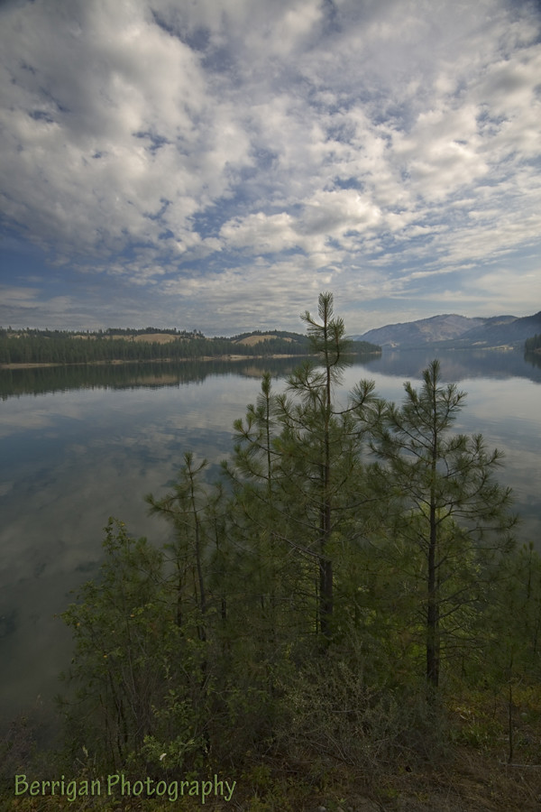
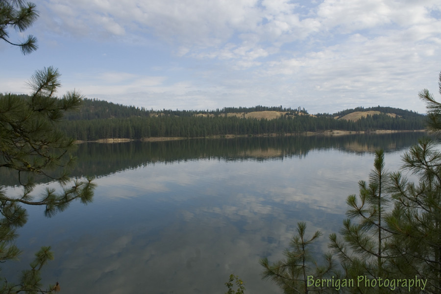
Fotos
WA_21710_Cedonia

2016-04-20 15;35;04

2016-04-20 15;37;35

2016-04-20 15;34;12

Columbia River 100815

gbs_20121029_4928-Edit.jpg
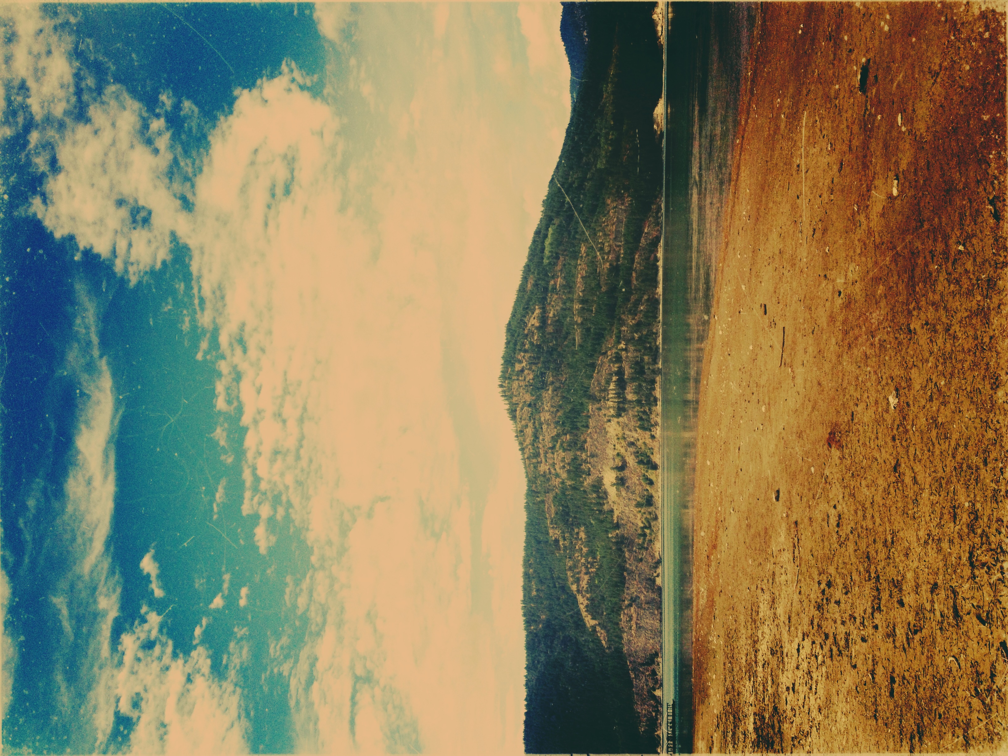
Lake Roosevelt III
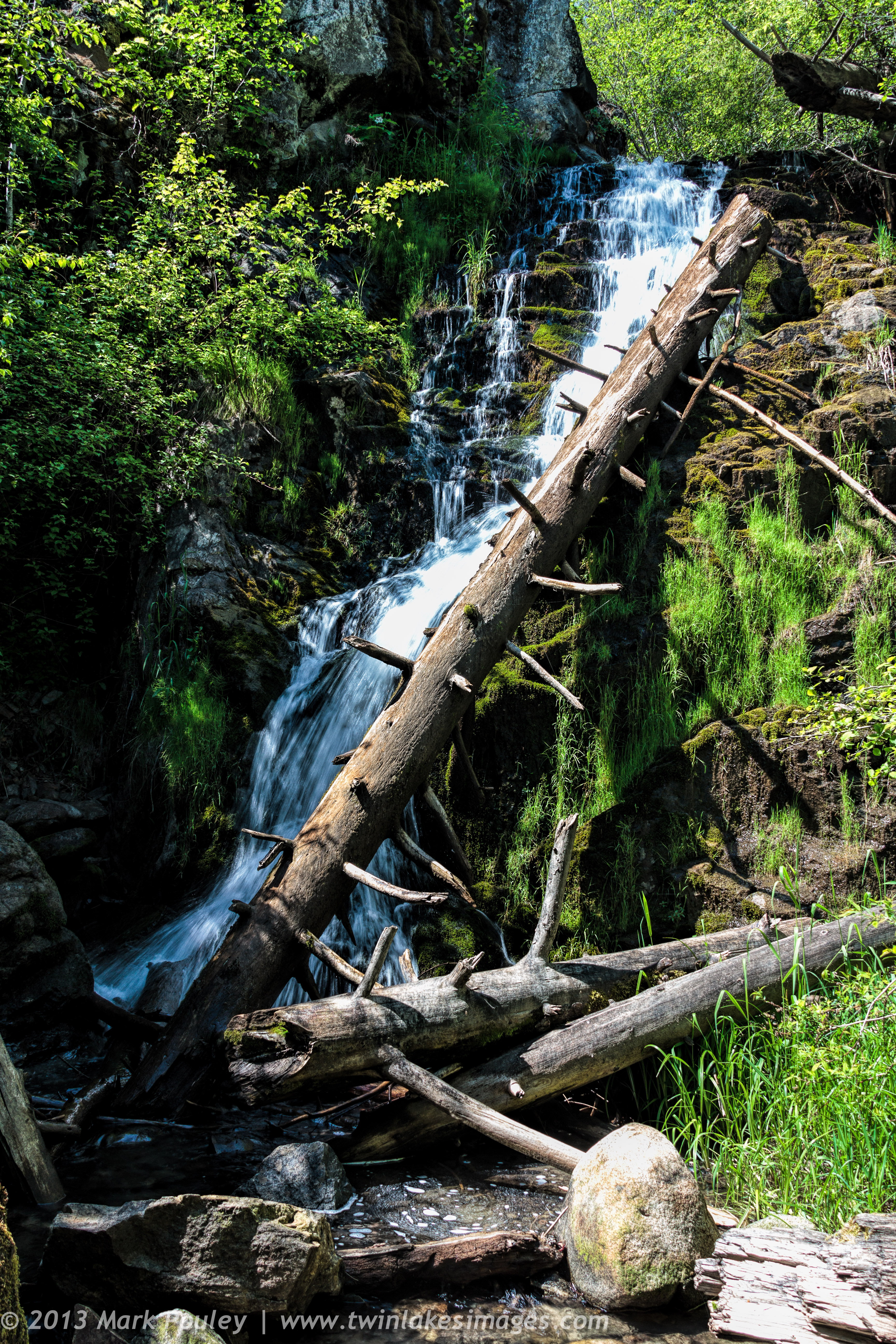
Wilmont Creek
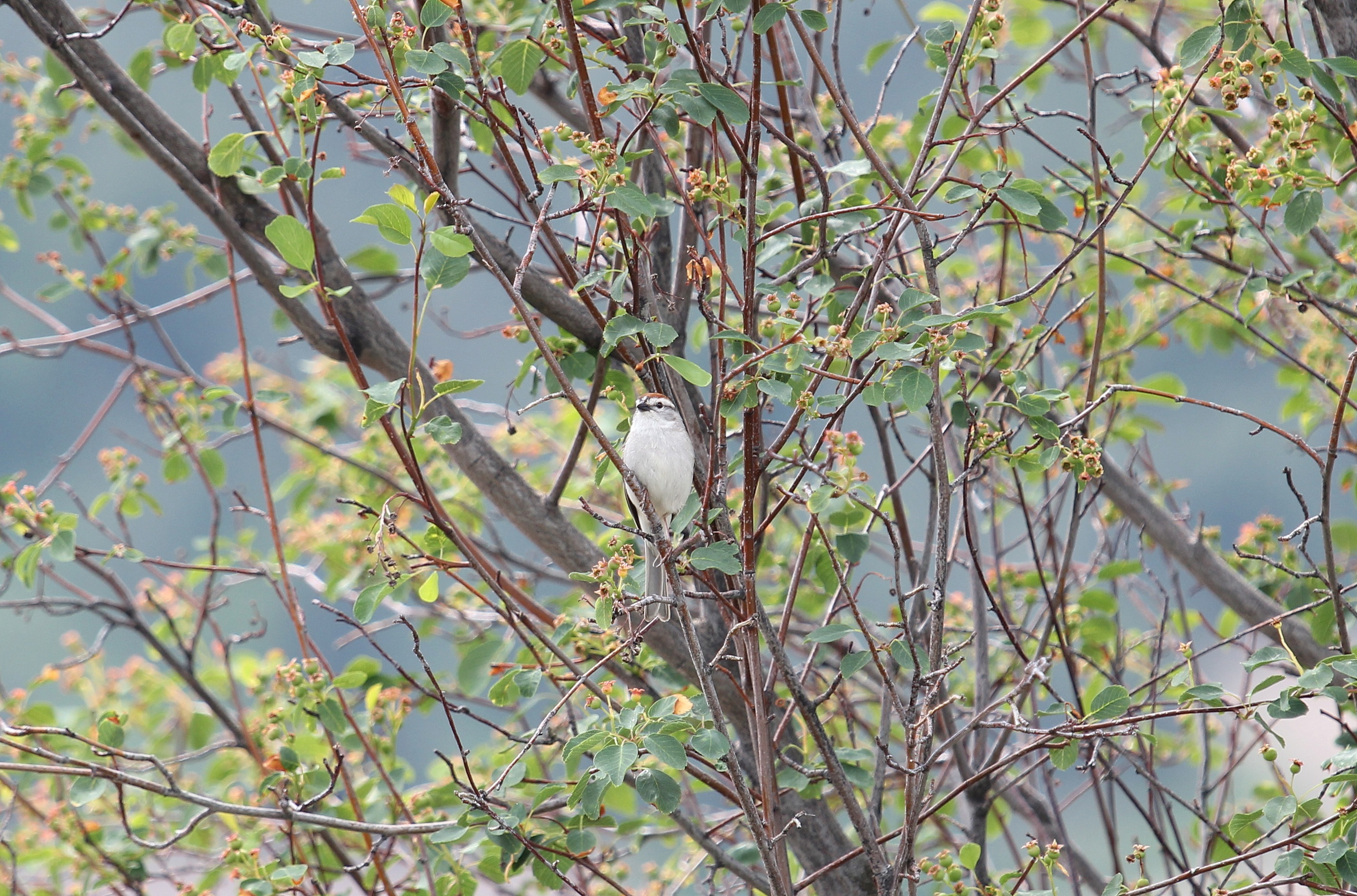
Chipping Sparrow
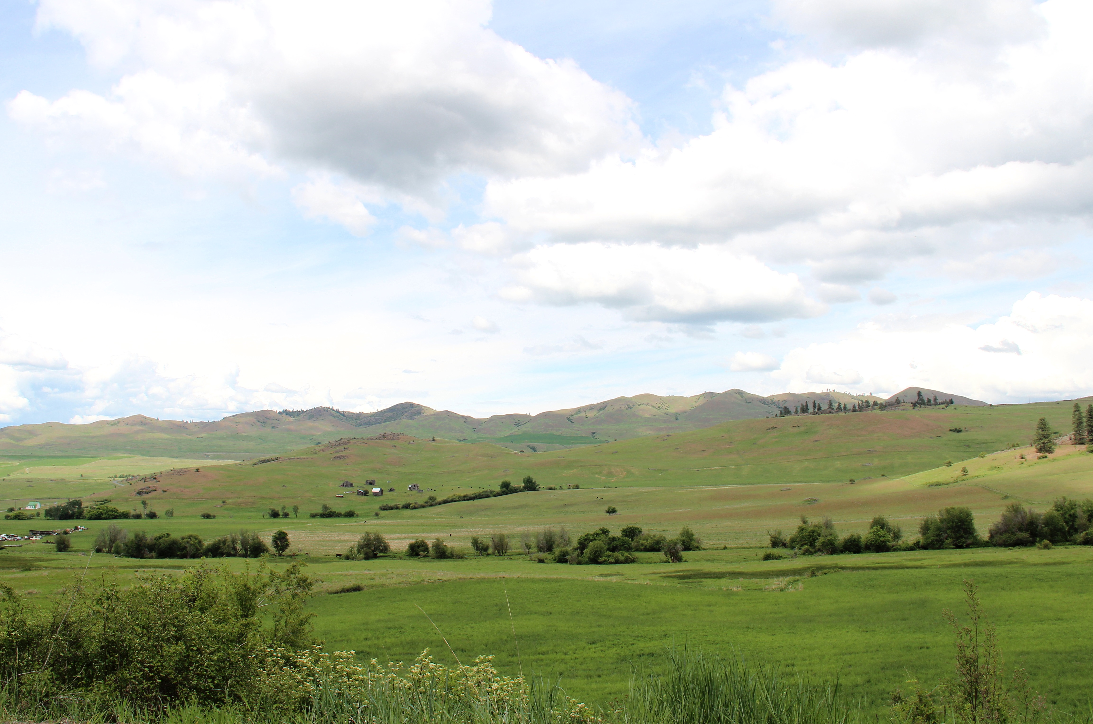
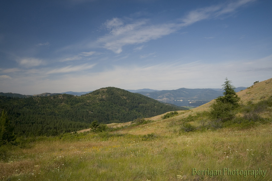
Hunters Fruitland Landscape
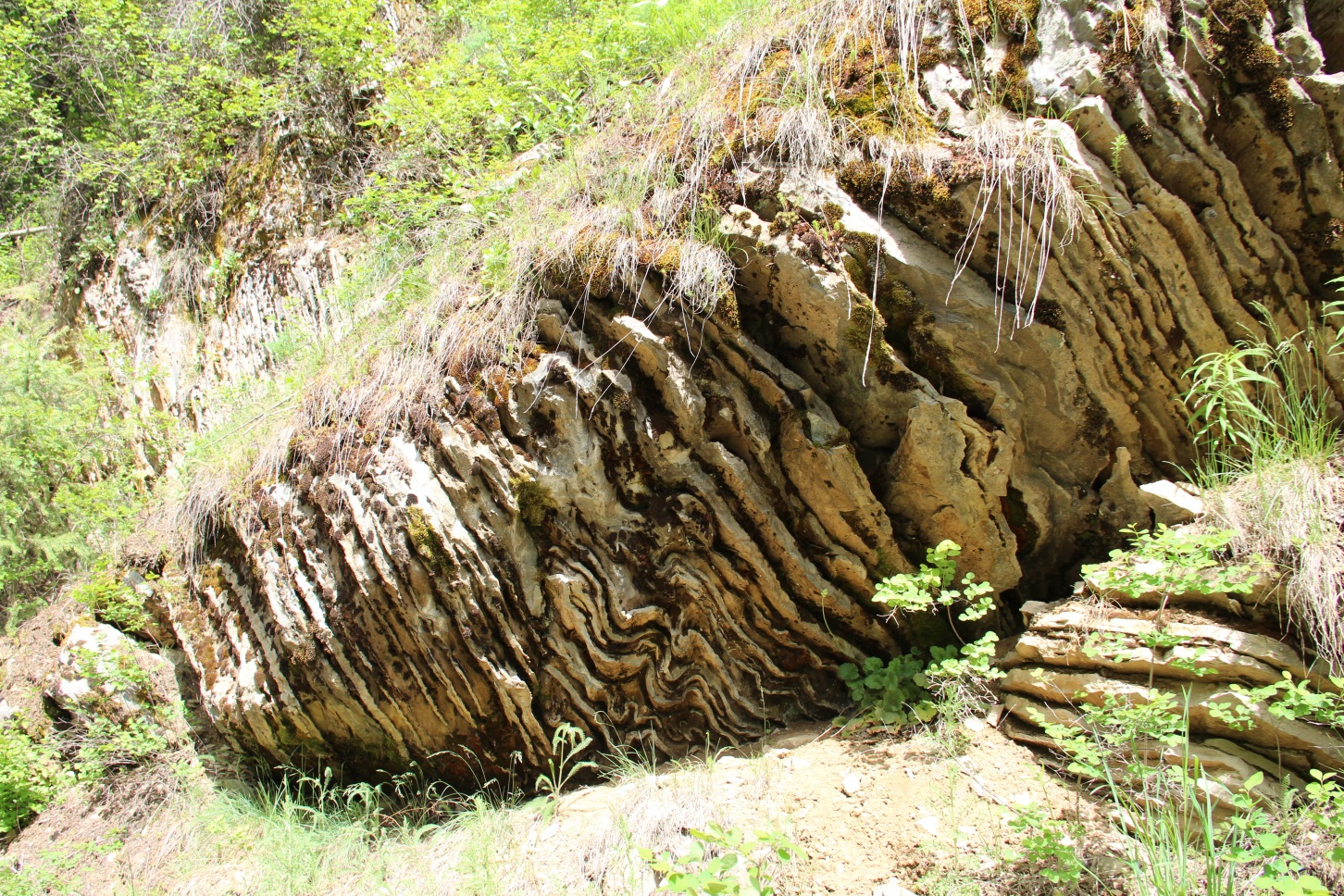
Wrinkled Rock

Hunters baseball team (c. 1928)

2010-08-08 18;15;37

2010-08-08 18;14;54
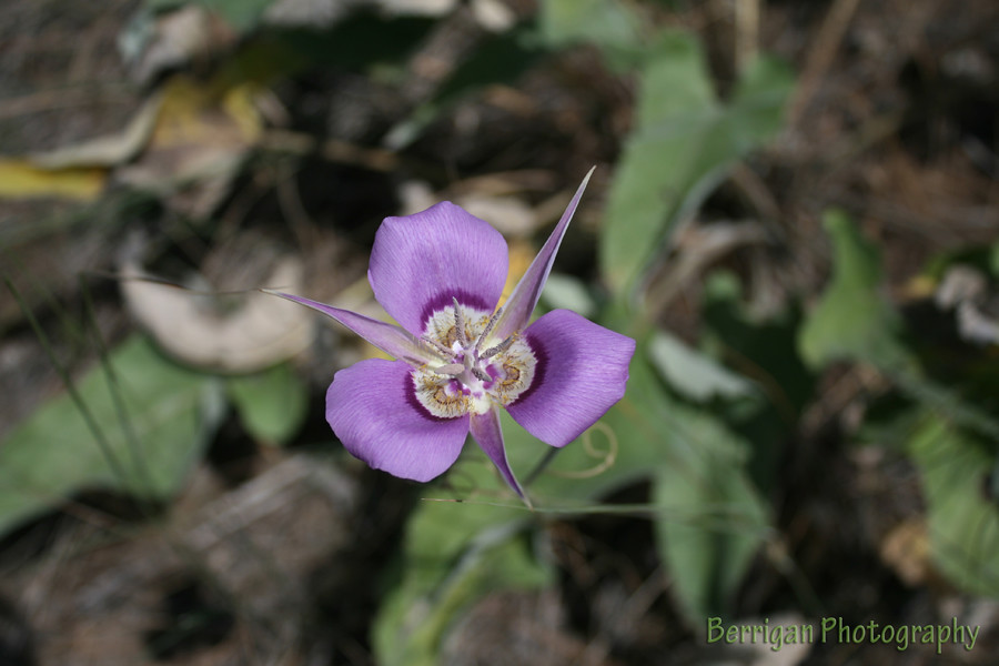
WA_21730_purple flower
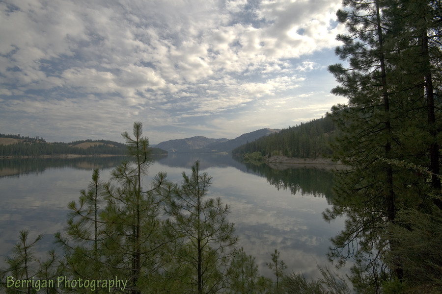
WA_21702_Lake Roosevelt
WA_21706_Lake Roosevelt
WA_21701_Lake Roosevelt

2010-08-08 17;56;38
Mapa de Hunters, Washington, EE. UU.
Buscar otro lugar
Lugares cercanos
Fruitland, Washington, EE. UU.
15 Stray Dog Canyon Rd, Inchelium, WA, EE. UU.
Enterprise Rd, Fruitland, WA, EE. UU.
Miller Mountain Rd, Fruitland, WA, EE. UU.
Inchelium, Washington, EE. UU.
Miles Rd, Rice, WA, EE. UU.
Round Lake, Washington, EE. UU.
Miles Rd, Rice, WA, EE. UU.
Deer Meadows, WA, EE. UU.
Tate Rd, Rice, WA, EE. UU.
Rice, Washington, EE. UU.
Rainy Ridge Road, Rainy Ridge Rd, Inchelium, WA, EE. UU.
Lincoln, Washington, EE. UU.
Haag Cove Campground, Haag Rd, Kettle Falls, WA, EE. UU.
Condado de Ferry, Washington, EE. UU.
Graves Mountain, Washington, EE. UU.
Sherman Pass, Washington, EE. UU.
Jacknife Cutoff Road, Jacknife Cutoff Rd, Kettle Falls, WA, EE. UU.
Copper Butte, Washington, EE. UU.
Republic, Washington, EE. UU.
Búsquedas recientes
- Horas de salida y puesta de sol de Redondo Ave, Long Beach, CA, USA
- Horas de salida y puesta de sol de Ulitsa Kalinina, 79, Rezh, Sverdlovskaya oblast', Rusia
- Horas de salida y puesta de sol de Leguwa, Nepal
- Horas de salida y puesta de sol de Shustino, Vladimir Oblast, Russia
- Horas de salida y puesta de sol de Lampiasi St, Sarasota, FL, EE. UU.
- Horas de salida y puesta de sol de Japón, 〒- Toyama, Kubomotomachi, 12−31 APAガーデンコート稲荷
- Horas de salida y puesta de sol de Jialuohu, Datong Township, Yilan County, Taiwán
- Horas de salida y puesta de sol de 大下港, Sekizenoge, Imabari, Prefectura de Ehime -, Japón
- Horas de salida y puesta de sol de Oge port Ferry Terminal, -1 Sekizenōge, Imabari, Ehime -, Japón
- Horas de salida y puesta de sol de San Telmo, Cdad. Autónoma de Buenos Aires, Argentina