Horas de salida y puesta de sol de Hillcrest Rest Area, 40°51'51."N °53'."W, Anderossa Ln, 9, CA, EE. UU.
Location: Estados Unidos > California > Condado de Shasta > Montgomery Creek >
Zona horaria:
America/Los_Angeles
Hora local:
2024-05-03 21:27:49
Longitud:
-121.8963967
Latitud:
40.8641001
Salida de sol de hoy:
06:00:41 AM
Puesta de sol de hoy:
08:07:53 PM
La duración del día hoy:
14h 7m 12s
Salida de sol de mañana:
05:59:30 AM
Puesta de sol de mañana:
08:08:55 PM
La duración del día mañana:
14h 9m 25s
Mostrar todas las fechas
| Fecha | Salida de sol | Puesta de sol | Duración del día |
|---|---|---|---|
| 01/01/2024 | 07:32:01 AM | 04:50:54 PM | 9h 18m 53s |
| 02/01/2024 | 07:32:05 AM | 04:51:46 PM | 9h 19m 41s |
| 03/01/2024 | 07:32:07 AM | 04:52:39 PM | 9h 20m 32s |
| 04/01/2024 | 07:32:06 AM | 04:53:34 PM | 9h 21m 28s |
| 05/01/2024 | 07:32:03 AM | 04:54:30 PM | 9h 22m 27s |
| 06/01/2024 | 07:31:57 AM | 04:55:28 PM | 9h 23m 31s |
| 07/01/2024 | 07:31:49 AM | 04:56:27 PM | 9h 24m 38s |
| 08/01/2024 | 07:31:39 AM | 04:57:27 PM | 9h 25m 48s |
| 09/01/2024 | 07:31:27 AM | 04:58:29 PM | 9h 27m 2s |
| 10/01/2024 | 07:31:13 AM | 04:59:31 PM | 9h 28m 18s |
| 11/01/2024 | 07:30:56 AM | 05:00:35 PM | 9h 29m 39s |
| 12/01/2024 | 07:30:37 AM | 05:01:40 PM | 9h 31m 3s |
| 13/01/2024 | 07:30:16 AM | 05:02:45 PM | 9h 32m 29s |
| 14/01/2024 | 07:29:52 AM | 05:03:52 PM | 9h 34m 0s |
| 15/01/2024 | 07:29:27 AM | 05:04:59 PM | 9h 35m 32s |
| 16/01/2024 | 07:28:59 AM | 05:06:07 PM | 9h 37m 8s |
| 17/01/2024 | 07:28:29 AM | 05:07:16 PM | 9h 38m 47s |
| 18/01/2024 | 07:27:57 AM | 05:08:26 PM | 9h 40m 29s |
| 19/01/2024 | 07:27:23 AM | 05:09:36 PM | 9h 42m 13s |
| 20/01/2024 | 07:26:47 AM | 05:10:47 PM | 9h 44m 0s |
| 21/01/2024 | 07:26:08 AM | 05:11:58 PM | 9h 45m 50s |
| 22/01/2024 | 07:25:28 AM | 05:13:10 PM | 9h 47m 42s |
| 23/01/2024 | 07:24:46 AM | 05:14:23 PM | 9h 49m 37s |
| 24/01/2024 | 07:24:01 AM | 05:15:35 PM | 9h 51m 34s |
| 25/01/2024 | 07:23:15 AM | 05:16:48 PM | 9h 53m 33s |
| 26/01/2024 | 07:22:27 AM | 05:18:02 PM | 9h 55m 35s |
| 27/01/2024 | 07:21:37 AM | 05:19:15 PM | 9h 57m 38s |
| 28/01/2024 | 07:20:45 AM | 05:20:29 PM | 9h 59m 44s |
| 29/01/2024 | 07:19:52 AM | 05:21:43 PM | 10h 1m 51s |
| 30/01/2024 | 07:18:56 AM | 05:22:57 PM | 10h 4m 1s |
| 31/01/2024 | 07:17:59 AM | 05:24:12 PM | 10h 6m 13s |
| 01/02/2024 | 07:17:00 AM | 05:25:26 PM | 10h 8m 26s |
| 02/02/2024 | 07:16:00 AM | 05:26:41 PM | 10h 10m 41s |
| 03/02/2024 | 07:14:57 AM | 05:27:55 PM | 10h 12m 58s |
| 04/02/2024 | 07:13:54 AM | 05:29:09 PM | 10h 15m 15s |
| 05/02/2024 | 07:12:48 AM | 05:30:24 PM | 10h 17m 36s |
| 06/02/2024 | 07:11:41 AM | 05:31:38 PM | 10h 19m 57s |
| 07/02/2024 | 07:10:33 AM | 05:32:52 PM | 10h 22m 19s |
| 08/02/2024 | 07:09:23 AM | 05:34:06 PM | 10h 24m 43s |
| 09/02/2024 | 07:08:12 AM | 05:35:20 PM | 10h 27m 8s |
| 10/02/2024 | 07:06:59 AM | 05:36:34 PM | 10h 29m 35s |
| 11/02/2024 | 07:05:45 AM | 05:37:48 PM | 10h 32m 3s |
| 12/02/2024 | 07:04:30 AM | 05:39:01 PM | 10h 34m 31s |
| 13/02/2024 | 07:03:13 AM | 05:40:14 PM | 10h 37m 1s |
| 14/02/2024 | 07:01:55 AM | 05:41:27 PM | 10h 39m 32s |
| 15/02/2024 | 07:00:36 AM | 05:42:40 PM | 10h 42m 4s |
| 16/02/2024 | 06:59:16 AM | 05:43:53 PM | 10h 44m 37s |
| 17/02/2024 | 06:57:54 AM | 05:45:05 PM | 10h 47m 11s |
| 18/02/2024 | 06:56:32 AM | 05:46:17 PM | 10h 49m 45s |
| 19/02/2024 | 06:55:08 AM | 05:47:28 PM | 10h 52m 20s |
| 20/02/2024 | 06:53:44 AM | 05:48:40 PM | 10h 54m 56s |
| 21/02/2024 | 06:52:18 AM | 05:49:51 PM | 10h 57m 33s |
| 22/02/2024 | 06:50:52 AM | 05:51:02 PM | 11h 0m 10s |
| 23/02/2024 | 06:49:24 AM | 05:52:12 PM | 11h 2m 48s |
| 24/02/2024 | 06:47:56 AM | 05:53:22 PM | 11h 5m 26s |
| 25/02/2024 | 06:46:27 AM | 05:54:32 PM | 11h 8m 5s |
| 26/02/2024 | 06:44:57 AM | 05:55:42 PM | 11h 10m 45s |
| 27/02/2024 | 06:43:26 AM | 05:56:51 PM | 11h 13m 25s |
| 28/02/2024 | 06:41:54 AM | 05:58:00 PM | 11h 16m 6s |
| 29/02/2024 | 06:40:22 AM | 05:59:09 PM | 11h 18m 47s |
| 01/03/2024 | 06:38:49 AM | 06:00:17 PM | 11h 21m 28s |
| 02/03/2024 | 06:37:15 AM | 06:01:25 PM | 11h 24m 10s |
| 03/03/2024 | 06:35:41 AM | 06:02:33 PM | 11h 26m 52s |
| 04/03/2024 | 06:34:06 AM | 06:03:41 PM | 11h 29m 35s |
| 05/03/2024 | 06:32:31 AM | 06:04:48 PM | 11h 32m 17s |
| 06/03/2024 | 06:30:55 AM | 06:05:55 PM | 11h 35m 0s |
| 07/03/2024 | 06:29:18 AM | 06:07:02 PM | 11h 37m 44s |
| 08/03/2024 | 06:27:42 AM | 06:08:08 PM | 11h 40m 26s |
| 09/03/2024 | 06:26:04 AM | 06:09:15 PM | 11h 43m 11s |
| 10/03/2024 | 07:24:31 AM | 07:10:18 PM | 11h 45m 47s |
| 11/03/2024 | 07:22:53 AM | 07:11:24 PM | 11h 48m 31s |
| 12/03/2024 | 07:21:14 AM | 07:12:29 PM | 11h 51m 15s |
| 13/03/2024 | 07:19:36 AM | 07:13:35 PM | 11h 53m 59s |
| 14/03/2024 | 07:17:57 AM | 07:14:40 PM | 11h 56m 43s |
| 15/03/2024 | 07:16:18 AM | 07:15:45 PM | 11h 59m 27s |
| 16/03/2024 | 07:14:38 AM | 07:16:50 PM | 12h 2m 12s |
| 17/03/2024 | 07:12:59 AM | 07:17:54 PM | 12h 4m 55s |
| 18/03/2024 | 07:11:19 AM | 07:18:59 PM | 12h 7m 40s |
| 19/03/2024 | 07:09:39 AM | 07:20:03 PM | 12h 10m 24s |
| 20/03/2024 | 07:07:59 AM | 07:21:07 PM | 12h 13m 8s |
| 21/03/2024 | 07:06:19 AM | 07:22:11 PM | 12h 15m 52s |
| 22/03/2024 | 07:04:40 AM | 07:23:15 PM | 12h 18m 35s |
| 23/03/2024 | 07:03:00 AM | 07:24:19 PM | 12h 21m 19s |
| 24/03/2024 | 07:01:20 AM | 07:25:23 PM | 12h 24m 3s |
| 25/03/2024 | 06:59:40 AM | 07:26:26 PM | 12h 26m 46s |
| 26/03/2024 | 06:58:00 AM | 07:27:30 PM | 12h 29m 30s |
| 27/03/2024 | 06:56:20 AM | 07:28:33 PM | 12h 32m 13s |
| 28/03/2024 | 06:54:41 AM | 07:29:37 PM | 12h 34m 56s |
| 29/03/2024 | 06:53:02 AM | 07:30:40 PM | 12h 37m 38s |
| 30/03/2024 | 06:51:23 AM | 07:31:43 PM | 12h 40m 20s |
| 31/03/2024 | 06:49:44 AM | 07:32:46 PM | 12h 43m 2s |
| 01/04/2024 | 06:48:05 AM | 07:33:50 PM | 12h 45m 45s |
| 02/04/2024 | 06:46:27 AM | 07:34:53 PM | 12h 48m 26s |
| 03/04/2024 | 06:44:49 AM | 07:35:56 PM | 12h 51m 7s |
| 04/04/2024 | 06:43:12 AM | 07:36:59 PM | 12h 53m 47s |
| 05/04/2024 | 06:41:35 AM | 07:38:02 PM | 12h 56m 27s |
| 06/04/2024 | 06:39:58 AM | 07:39:06 PM | 12h 59m 8s |
| 07/04/2024 | 06:38:22 AM | 07:40:09 PM | 13h 1m 47s |
| 08/04/2024 | 06:36:46 AM | 07:41:12 PM | 13h 4m 26s |
| 09/04/2024 | 06:35:11 AM | 07:42:15 PM | 13h 7m 4s |
| 10/04/2024 | 06:33:37 AM | 07:43:18 PM | 13h 9m 41s |
| 11/04/2024 | 06:32:03 AM | 07:44:22 PM | 13h 12m 19s |
| 12/04/2024 | 06:30:29 AM | 07:45:25 PM | 13h 14m 56s |
| 13/04/2024 | 06:28:57 AM | 07:46:28 PM | 13h 17m 31s |
| 14/04/2024 | 06:27:24 AM | 07:47:31 PM | 13h 20m 7s |
| 15/04/2024 | 06:25:53 AM | 07:48:35 PM | 13h 22m 42s |
| 16/04/2024 | 06:24:23 AM | 07:49:38 PM | 13h 25m 15s |
| 17/04/2024 | 06:22:53 AM | 07:50:41 PM | 13h 27m 48s |
| 18/04/2024 | 06:21:24 AM | 07:51:45 PM | 13h 30m 21s |
| 19/04/2024 | 06:19:56 AM | 07:52:48 PM | 13h 32m 52s |
| 20/04/2024 | 06:18:28 AM | 07:53:51 PM | 13h 35m 23s |
| 21/04/2024 | 06:17:02 AM | 07:54:55 PM | 13h 37m 53s |
| 22/04/2024 | 06:15:37 AM | 07:55:58 PM | 13h 40m 21s |
| 23/04/2024 | 06:14:12 AM | 07:57:01 PM | 13h 42m 49s |
| 24/04/2024 | 06:12:49 AM | 07:58:04 PM | 13h 45m 15s |
| 25/04/2024 | 06:11:26 AM | 07:59:08 PM | 13h 47m 42s |
| 26/04/2024 | 06:10:05 AM | 08:00:11 PM | 13h 50m 6s |
| 27/04/2024 | 06:08:45 AM | 08:01:14 PM | 13h 52m 29s |
| 28/04/2024 | 06:07:25 AM | 08:02:17 PM | 13h 54m 52s |
| 29/04/2024 | 06:06:07 AM | 08:03:20 PM | 13h 57m 13s |
| 30/04/2024 | 06:04:51 AM | 08:04:22 PM | 13h 59m 31s |
| 01/05/2024 | 06:03:35 AM | 08:05:25 PM | 14h 1m 50s |
| 02/05/2024 | 06:02:21 AM | 08:06:27 PM | 14h 4m 6s |
| 03/05/2024 | 06:01:08 AM | 08:07:30 PM | 14h 6m 22s |
| 04/05/2024 | 05:59:56 AM | 08:08:32 PM | 14h 8m 36s |
| 05/05/2024 | 05:58:46 AM | 08:09:34 PM | 14h 10m 48s |
| 06/05/2024 | 05:57:37 AM | 08:10:35 PM | 14h 12m 58s |
| 07/05/2024 | 05:56:29 AM | 08:11:36 PM | 14h 15m 7s |
| 08/05/2024 | 05:55:23 AM | 08:12:37 PM | 14h 17m 14s |
| 09/05/2024 | 05:54:19 AM | 08:13:38 PM | 14h 19m 19s |
| 10/05/2024 | 05:53:16 AM | 08:14:38 PM | 14h 21m 22s |
| 11/05/2024 | 05:52:14 AM | 08:15:38 PM | 14h 23m 24s |
| 12/05/2024 | 05:51:14 AM | 08:16:38 PM | 14h 25m 24s |
| 13/05/2024 | 05:50:16 AM | 08:17:37 PM | 14h 27m 21s |
| 14/05/2024 | 05:49:19 AM | 08:18:35 PM | 14h 29m 16s |
| 15/05/2024 | 05:48:24 AM | 08:19:33 PM | 14h 31m 9s |
| 16/05/2024 | 05:47:30 AM | 08:20:31 PM | 14h 33m 1s |
| 17/05/2024 | 05:46:39 AM | 08:21:28 PM | 14h 34m 49s |
| 18/05/2024 | 05:45:49 AM | 08:22:24 PM | 14h 36m 35s |
| 19/05/2024 | 05:45:00 AM | 08:23:19 PM | 14h 38m 19s |
| 20/05/2024 | 05:44:14 AM | 08:24:14 PM | 14h 40m 0s |
| 21/05/2024 | 05:43:29 AM | 08:25:08 PM | 14h 41m 39s |
| 22/05/2024 | 05:42:46 AM | 08:26:02 PM | 14h 43m 16s |
| 23/05/2024 | 05:42:05 AM | 08:26:54 PM | 14h 44m 49s |
| 24/05/2024 | 05:41:26 AM | 08:27:46 PM | 14h 46m 20s |
| 25/05/2024 | 05:40:49 AM | 08:28:36 PM | 14h 47m 47s |
| 26/05/2024 | 05:40:14 AM | 08:29:26 PM | 14h 49m 12s |
| 27/05/2024 | 05:39:40 AM | 08:30:15 PM | 14h 50m 35s |
| 28/05/2024 | 05:39:09 AM | 08:31:02 PM | 14h 51m 53s |
| 29/05/2024 | 05:38:39 AM | 08:31:49 PM | 14h 53m 10s |
| 30/05/2024 | 05:38:11 AM | 08:32:34 PM | 14h 54m 23s |
| 31/05/2024 | 05:37:46 AM | 08:33:19 PM | 14h 55m 33s |
| 01/06/2024 | 05:37:22 AM | 08:34:02 PM | 14h 56m 40s |
| 02/06/2024 | 05:37:00 AM | 08:34:43 PM | 14h 57m 43s |
| 03/06/2024 | 05:36:41 AM | 08:35:24 PM | 14h 58m 43s |
| 04/06/2024 | 05:36:23 AM | 08:36:03 PM | 14h 59m 40s |
| 05/06/2024 | 05:36:07 AM | 08:36:41 PM | 15h 0m 34s |
| 06/06/2024 | 05:35:54 AM | 08:37:17 PM | 15h 1m 23s |
| 07/06/2024 | 05:35:42 AM | 08:37:52 PM | 15h 2m 10s |
| 08/06/2024 | 05:35:32 AM | 08:38:25 PM | 15h 2m 53s |
| 09/06/2024 | 05:35:25 AM | 08:38:57 PM | 15h 3m 32s |
| 10/06/2024 | 05:35:19 AM | 08:39:27 PM | 15h 4m 8s |
| 11/06/2024 | 05:35:15 AM | 08:39:56 PM | 15h 4m 41s |
| 12/06/2024 | 05:35:14 AM | 08:40:23 PM | 15h 5m 9s |
| 13/06/2024 | 05:35:14 AM | 08:40:48 PM | 15h 5m 34s |
| 14/06/2024 | 05:35:16 AM | 08:41:12 PM | 15h 5m 56s |
| 15/06/2024 | 05:35:20 AM | 08:41:33 PM | 15h 6m 13s |
| 16/06/2024 | 05:35:26 AM | 08:41:53 PM | 15h 6m 27s |
| 17/06/2024 | 05:35:34 AM | 08:42:11 PM | 15h 6m 37s |
| 18/06/2024 | 05:35:44 AM | 08:42:28 PM | 15h 6m 44s |
| 19/06/2024 | 05:35:56 AM | 08:42:42 PM | 15h 6m 46s |
| 20/06/2024 | 05:36:09 AM | 08:42:55 PM | 15h 6m 46s |
| 21/06/2024 | 05:36:25 AM | 08:43:05 PM | 15h 6m 40s |
| 22/06/2024 | 05:36:42 AM | 08:43:14 PM | 15h 6m 32s |
| 23/06/2024 | 05:37:01 AM | 08:43:21 PM | 15h 6m 20s |
| 24/06/2024 | 05:37:22 AM | 08:43:26 PM | 15h 6m 4s |
| 25/06/2024 | 05:37:44 AM | 08:43:28 PM | 15h 5m 44s |
| 26/06/2024 | 05:38:08 AM | 08:43:29 PM | 15h 5m 21s |
| 27/06/2024 | 05:38:34 AM | 08:43:28 PM | 15h 4m 54s |
| 28/06/2024 | 05:39:01 AM | 08:43:25 PM | 15h 4m 24s |
| 29/06/2024 | 05:39:30 AM | 08:43:19 PM | 15h 3m 49s |
| 30/06/2024 | 05:40:00 AM | 08:43:12 PM | 15h 3m 12s |
| 01/07/2024 | 05:40:32 AM | 08:43:03 PM | 15h 2m 31s |
| 02/07/2024 | 05:41:05 AM | 08:42:51 PM | 15h 1m 46s |
| 03/07/2024 | 05:41:40 AM | 08:42:38 PM | 15h 0m 58s |
| 04/07/2024 | 05:42:16 AM | 08:42:22 PM | 15h 0m 6s |
| 05/07/2024 | 05:42:53 AM | 08:42:05 PM | 14h 59m 12s |
| 06/07/2024 | 05:43:32 AM | 08:41:45 PM | 14h 58m 13s |
| 07/07/2024 | 05:44:12 AM | 08:41:23 PM | 14h 57m 11s |
| 08/07/2024 | 05:44:53 AM | 08:41:00 PM | 14h 56m 7s |
| 09/07/2024 | 05:45:35 AM | 08:40:34 PM | 14h 54m 59s |
| 10/07/2024 | 05:46:19 AM | 08:40:06 PM | 14h 53m 47s |
| 11/07/2024 | 05:47:03 AM | 08:39:37 PM | 14h 52m 34s |
| 12/07/2024 | 05:47:49 AM | 08:39:05 PM | 14h 51m 16s |
| 13/07/2024 | 05:48:35 AM | 08:38:31 PM | 14h 49m 56s |
| 14/07/2024 | 05:49:23 AM | 08:37:56 PM | 14h 48m 33s |
| 15/07/2024 | 05:50:11 AM | 08:37:18 PM | 14h 47m 7s |
| 16/07/2024 | 05:51:00 AM | 08:36:39 PM | 14h 45m 39s |
| 17/07/2024 | 05:51:50 AM | 08:35:57 PM | 14h 44m 7s |
| 18/07/2024 | 05:52:41 AM | 08:35:14 PM | 14h 42m 33s |
| 19/07/2024 | 05:53:32 AM | 08:34:29 PM | 14h 40m 57s |
| 20/07/2024 | 05:54:25 AM | 08:33:42 PM | 14h 39m 17s |
| 21/07/2024 | 05:55:18 AM | 08:32:53 PM | 14h 37m 35s |
| 22/07/2024 | 05:56:11 AM | 08:32:03 PM | 14h 35m 52s |
| 23/07/2024 | 05:57:05 AM | 08:31:11 PM | 14h 34m 6s |
| 24/07/2024 | 05:58:00 AM | 08:30:17 PM | 14h 32m 17s |
| 25/07/2024 | 05:58:55 AM | 08:29:21 PM | 14h 30m 26s |
| 26/07/2024 | 05:59:50 AM | 08:28:24 PM | 14h 28m 34s |
| 27/07/2024 | 06:00:47 AM | 08:27:25 PM | 14h 26m 38s |
| 28/07/2024 | 06:01:43 AM | 08:26:24 PM | 14h 24m 41s |
| 29/07/2024 | 06:02:40 AM | 08:25:22 PM | 14h 22m 42s |
| 30/07/2024 | 06:03:37 AM | 08:24:18 PM | 14h 20m 41s |
| 31/07/2024 | 06:04:34 AM | 08:23:13 PM | 14h 18m 39s |
| 01/08/2024 | 06:05:32 AM | 08:22:06 PM | 14h 16m 34s |
| 02/08/2024 | 06:06:30 AM | 08:20:58 PM | 14h 14m 28s |
| 03/08/2024 | 06:07:29 AM | 08:19:48 PM | 14h 12m 19s |
| 04/08/2024 | 06:08:27 AM | 08:18:37 PM | 14h 10m 10s |
| 05/08/2024 | 06:09:26 AM | 08:17:25 PM | 14h 7m 59s |
| 06/08/2024 | 06:10:25 AM | 08:16:11 PM | 14h 5m 46s |
| 07/08/2024 | 06:11:23 AM | 08:14:56 PM | 14h 3m 33s |
| 08/08/2024 | 06:12:23 AM | 08:13:39 PM | 14h 1m 16s |
| 09/08/2024 | 06:13:22 AM | 08:12:21 PM | 13h 58m 59s |
| 10/08/2024 | 06:14:21 AM | 08:11:03 PM | 13h 56m 42s |
| 11/08/2024 | 06:15:20 AM | 08:09:42 PM | 13h 54m 22s |
| 12/08/2024 | 06:16:20 AM | 08:08:21 PM | 13h 52m 1s |
| 13/08/2024 | 06:17:19 AM | 08:06:59 PM | 13h 49m 40s |
| 14/08/2024 | 06:18:19 AM | 08:05:35 PM | 13h 47m 16s |
| 15/08/2024 | 06:19:18 AM | 08:04:11 PM | 13h 44m 53s |
| 16/08/2024 | 06:20:18 AM | 08:02:45 PM | 13h 42m 27s |
| 17/08/2024 | 06:21:17 AM | 08:01:19 PM | 13h 40m 2s |
| 18/08/2024 | 06:22:16 AM | 07:59:51 PM | 13h 37m 35s |
| 19/08/2024 | 06:23:16 AM | 07:58:23 PM | 13h 35m 7s |
| 20/08/2024 | 06:24:15 AM | 07:56:53 PM | 13h 32m 38s |
| 21/08/2024 | 06:25:15 AM | 07:55:23 PM | 13h 30m 8s |
| 22/08/2024 | 06:26:14 AM | 07:53:52 PM | 13h 27m 38s |
| 23/08/2024 | 06:27:13 AM | 07:52:20 PM | 13h 25m 7s |
| 24/08/2024 | 06:28:12 AM | 07:50:48 PM | 13h 22m 36s |
| 25/08/2024 | 06:29:12 AM | 07:49:14 PM | 13h 20m 2s |
| 26/08/2024 | 06:30:11 AM | 07:47:40 PM | 13h 17m 29s |
| 27/08/2024 | 06:31:10 AM | 07:46:06 PM | 13h 14m 56s |
| 28/08/2024 | 06:32:09 AM | 07:44:30 PM | 13h 12m 21s |
| 29/08/2024 | 06:33:08 AM | 07:42:54 PM | 13h 9m 46s |
| 30/08/2024 | 06:34:07 AM | 07:41:18 PM | 13h 7m 11s |
| 31/08/2024 | 06:35:06 AM | 07:39:40 PM | 13h 4m 34s |
| 01/09/2024 | 06:36:04 AM | 07:38:03 PM | 13h 1m 59s |
| 02/09/2024 | 06:37:03 AM | 07:36:25 PM | 12h 59m 22s |
| 03/09/2024 | 06:38:02 AM | 07:34:46 PM | 12h 56m 44s |
| 04/09/2024 | 06:39:01 AM | 07:33:07 PM | 12h 54m 6s |
| 05/09/2024 | 06:39:59 AM | 07:31:27 PM | 12h 51m 28s |
| 06/09/2024 | 06:40:58 AM | 07:29:48 PM | 12h 48m 50s |
| 07/09/2024 | 06:41:57 AM | 07:28:07 PM | 12h 46m 10s |
| 08/09/2024 | 06:42:56 AM | 07:26:27 PM | 12h 43m 31s |
| 09/09/2024 | 06:43:54 AM | 07:24:46 PM | 12h 40m 52s |
| 10/09/2024 | 06:44:53 AM | 07:23:05 PM | 12h 38m 12s |
| 11/09/2024 | 06:45:52 AM | 07:21:24 PM | 12h 35m 32s |
| 12/09/2024 | 06:46:51 AM | 07:19:42 PM | 12h 32m 51s |
| 13/09/2024 | 06:47:50 AM | 07:18:00 PM | 12h 30m 10s |
| 14/09/2024 | 06:48:49 AM | 07:16:19 PM | 12h 27m 30s |
| 15/09/2024 | 06:49:48 AM | 07:14:37 PM | 12h 24m 49s |
| 16/09/2024 | 06:50:47 AM | 07:12:55 PM | 12h 22m 8s |
| 17/09/2024 | 06:51:46 AM | 07:11:13 PM | 12h 19m 27s |
| 18/09/2024 | 06:52:45 AM | 07:09:31 PM | 12h 16m 46s |
| 19/09/2024 | 06:53:45 AM | 07:07:49 PM | 12h 14m 4s |
| 20/09/2024 | 06:54:44 AM | 07:06:07 PM | 12h 11m 23s |
| 21/09/2024 | 06:55:44 AM | 07:04:25 PM | 12h 8m 41s |
| 22/09/2024 | 06:56:43 AM | 07:02:43 PM | 12h 6m 0s |
| 23/09/2024 | 06:57:43 AM | 07:01:01 PM | 12h 3m 18s |
| 24/09/2024 | 06:58:43 AM | 06:59:20 PM | 12h 0m 37s |
| 25/09/2024 | 06:59:44 AM | 06:57:38 PM | 11h 57m 54s |
| 26/09/2024 | 07:00:44 AM | 06:55:57 PM | 11h 55m 13s |
| 27/09/2024 | 07:01:45 AM | 06:54:16 PM | 11h 52m 31s |
| 28/09/2024 | 07:02:46 AM | 06:52:36 PM | 11h 49m 50s |
| 29/09/2024 | 07:03:47 AM | 06:50:55 PM | 11h 47m 8s |
| 30/09/2024 | 07:04:48 AM | 06:49:16 PM | 11h 44m 28s |
| 01/10/2024 | 07:05:50 AM | 06:47:36 PM | 11h 41m 46s |
| 02/10/2024 | 07:06:52 AM | 06:45:57 PM | 11h 39m 5s |
| 03/10/2024 | 07:07:54 AM | 06:44:18 PM | 11h 36m 24s |
| 04/10/2024 | 07:08:56 AM | 06:42:40 PM | 11h 33m 44s |
| 05/10/2024 | 07:09:59 AM | 06:41:02 PM | 11h 31m 3s |
| 06/10/2024 | 07:11:02 AM | 06:39:25 PM | 11h 28m 23s |
| 07/10/2024 | 07:12:05 AM | 06:37:48 PM | 11h 25m 43s |
| 08/10/2024 | 07:13:08 AM | 06:36:12 PM | 11h 23m 4s |
| 09/10/2024 | 07:14:12 AM | 06:34:37 PM | 11h 20m 25s |
| 10/10/2024 | 07:15:16 AM | 06:33:02 PM | 11h 17m 46s |
| 11/10/2024 | 07:16:21 AM | 06:31:28 PM | 11h 15m 7s |
| 12/10/2024 | 07:17:25 AM | 06:29:54 PM | 11h 12m 29s |
| 13/10/2024 | 07:18:30 AM | 06:28:22 PM | 11h 9m 52s |
| 14/10/2024 | 07:19:36 AM | 06:26:50 PM | 11h 7m 14s |
| 15/10/2024 | 07:20:41 AM | 06:25:19 PM | 11h 4m 38s |
| 16/10/2024 | 07:21:47 AM | 06:23:49 PM | 11h 2m 2s |
| 17/10/2024 | 07:22:54 AM | 06:22:19 PM | 10h 59m 25s |
| 18/10/2024 | 07:24:01 AM | 06:20:51 PM | 10h 56m 50s |
| 19/10/2024 | 07:25:08 AM | 06:19:24 PM | 10h 54m 16s |
| 20/10/2024 | 07:26:15 AM | 06:17:57 PM | 10h 51m 42s |
| 21/10/2024 | 07:27:22 AM | 06:16:32 PM | 10h 49m 10s |
| 22/10/2024 | 07:28:30 AM | 06:15:08 PM | 10h 46m 38s |
| 23/10/2024 | 07:29:39 AM | 06:13:45 PM | 10h 44m 6s |
| 24/10/2024 | 07:30:47 AM | 06:12:23 PM | 10h 41m 36s |
| 25/10/2024 | 07:31:56 AM | 06:11:02 PM | 10h 39m 6s |
| 26/10/2024 | 07:33:05 AM | 06:09:42 PM | 10h 36m 37s |
| 27/10/2024 | 07:34:15 AM | 06:08:24 PM | 10h 34m 9s |
| 28/10/2024 | 07:35:24 AM | 06:07:06 PM | 10h 31m 42s |
| 29/10/2024 | 07:36:34 AM | 06:05:51 PM | 10h 29m 17s |
| 30/10/2024 | 07:37:44 AM | 06:04:36 PM | 10h 26m 52s |
| 31/10/2024 | 07:38:54 AM | 06:03:23 PM | 10h 24m 29s |
| 01/11/2024 | 07:40:05 AM | 06:02:11 PM | 10h 22m 6s |
| 02/11/2024 | 07:41:16 AM | 06:01:01 PM | 10h 19m 45s |
| 03/11/2024 | 06:42:29 AM | 04:59:50 PM | 10h 17m 21s |
| 04/11/2024 | 06:43:40 AM | 04:58:42 PM | 10h 15m 2s |
| 05/11/2024 | 06:44:51 AM | 04:57:37 PM | 10h 12m 46s |
| 06/11/2024 | 06:46:02 AM | 04:56:33 PM | 10h 10m 31s |
| 07/11/2024 | 06:47:14 AM | 04:55:31 PM | 10h 8m 17s |
| 08/11/2024 | 06:48:25 AM | 04:54:30 PM | 10h 6m 5s |
| 09/11/2024 | 06:49:36 AM | 04:53:31 PM | 10h 3m 55s |
| 10/11/2024 | 06:50:47 AM | 04:52:34 PM | 10h 1m 47s |
| 11/11/2024 | 06:51:58 AM | 04:51:39 PM | 9h 59m 41s |
| 12/11/2024 | 06:53:09 AM | 04:50:45 PM | 9h 57m 36s |
| 13/11/2024 | 06:54:20 AM | 04:49:53 PM | 9h 55m 33s |
| 14/11/2024 | 06:55:30 AM | 04:49:03 PM | 9h 53m 33s |
| 15/11/2024 | 06:56:41 AM | 04:48:16 PM | 9h 51m 35s |
| 16/11/2024 | 06:57:51 AM | 04:47:30 PM | 9h 49m 39s |
| 17/11/2024 | 06:59:00 AM | 04:46:46 PM | 9h 47m 46s |
| 18/11/2024 | 07:00:10 AM | 04:46:04 PM | 9h 45m 54s |
| 19/11/2024 | 07:01:19 AM | 04:45:24 PM | 9h 44m 5s |
| 20/11/2024 | 07:02:27 AM | 04:44:46 PM | 9h 42m 19s |
| 21/11/2024 | 07:03:35 AM | 04:44:10 PM | 9h 40m 35s |
| 22/11/2024 | 07:04:43 AM | 04:43:36 PM | 9h 38m 53s |
| 23/11/2024 | 07:05:49 AM | 04:43:05 PM | 9h 37m 16s |
| 24/11/2024 | 07:06:56 AM | 04:42:35 PM | 9h 35m 39s |
| 25/11/2024 | 07:08:01 AM | 04:42:08 PM | 9h 34m 7s |
| 26/11/2024 | 07:09:06 AM | 04:41:43 PM | 9h 32m 37s |
| 27/11/2024 | 07:10:10 AM | 04:41:21 PM | 9h 31m 11s |
| 28/11/2024 | 07:11:13 AM | 04:41:00 PM | 9h 29m 47s |
| 29/11/2024 | 07:12:15 AM | 04:40:42 PM | 9h 28m 27s |
| 30/11/2024 | 07:13:16 AM | 04:40:26 PM | 9h 27m 10s |
| 01/12/2024 | 07:14:16 AM | 04:40:12 PM | 9h 25m 56s |
| 02/12/2024 | 07:15:15 AM | 04:40:01 PM | 9h 24m 46s |
| 03/12/2024 | 07:16:13 AM | 04:39:52 PM | 9h 23m 39s |
| 04/12/2024 | 07:17:09 AM | 04:39:45 PM | 9h 22m 36s |
| 05/12/2024 | 07:18:04 AM | 04:39:41 PM | 9h 21m 37s |
| 06/12/2024 | 07:18:59 AM | 04:39:39 PM | 9h 20m 40s |
| 07/12/2024 | 07:19:51 AM | 04:39:39 PM | 9h 19m 48s |
| 08/12/2024 | 07:20:42 AM | 04:39:42 PM | 9h 19m 0s |
| 09/12/2024 | 07:21:32 AM | 04:39:47 PM | 9h 18m 15s |
| 10/12/2024 | 07:22:20 AM | 04:39:54 PM | 9h 17m 34s |
| 11/12/2024 | 07:23:07 AM | 04:40:03 PM | 9h 16m 56s |
| 12/12/2024 | 07:23:52 AM | 04:40:15 PM | 9h 16m 23s |
| 13/12/2024 | 07:24:35 AM | 04:40:29 PM | 9h 15m 54s |
| 14/12/2024 | 07:25:17 AM | 04:40:46 PM | 9h 15m 29s |
| 15/12/2024 | 07:25:57 AM | 04:41:04 PM | 9h 15m 7s |
| 16/12/2024 | 07:26:34 AM | 04:41:25 PM | 9h 14m 51s |
| 17/12/2024 | 07:27:11 AM | 04:41:48 PM | 9h 14m 37s |
| 18/12/2024 | 07:27:45 AM | 04:42:13 PM | 9h 14m 28s |
| 19/12/2024 | 07:28:17 AM | 04:42:40 PM | 9h 14m 23s |
| 20/12/2024 | 07:28:47 AM | 04:43:10 PM | 9h 14m 23s |
| 21/12/2024 | 07:29:15 AM | 04:43:41 PM | 9h 14m 26s |
| 22/12/2024 | 07:29:42 AM | 04:44:15 PM | 9h 14m 33s |
| 23/12/2024 | 07:30:06 AM | 04:44:50 PM | 9h 14m 44s |
| 24/12/2024 | 07:30:28 AM | 04:45:28 PM | 9h 15m 0s |
| 25/12/2024 | 07:30:47 AM | 04:46:07 PM | 9h 15m 20s |
| 26/12/2024 | 07:31:05 AM | 04:46:48 PM | 9h 15m 43s |
| 27/12/2024 | 07:31:20 AM | 04:47:31 PM | 9h 16m 11s |
| 28/12/2024 | 07:31:34 AM | 04:48:16 PM | 9h 16m 42s |
| 29/12/2024 | 07:31:45 AM | 04:49:03 PM | 9h 17m 18s |
| 30/12/2024 | 07:31:53 AM | 04:49:51 PM | 9h 17m 58s |
Fotos
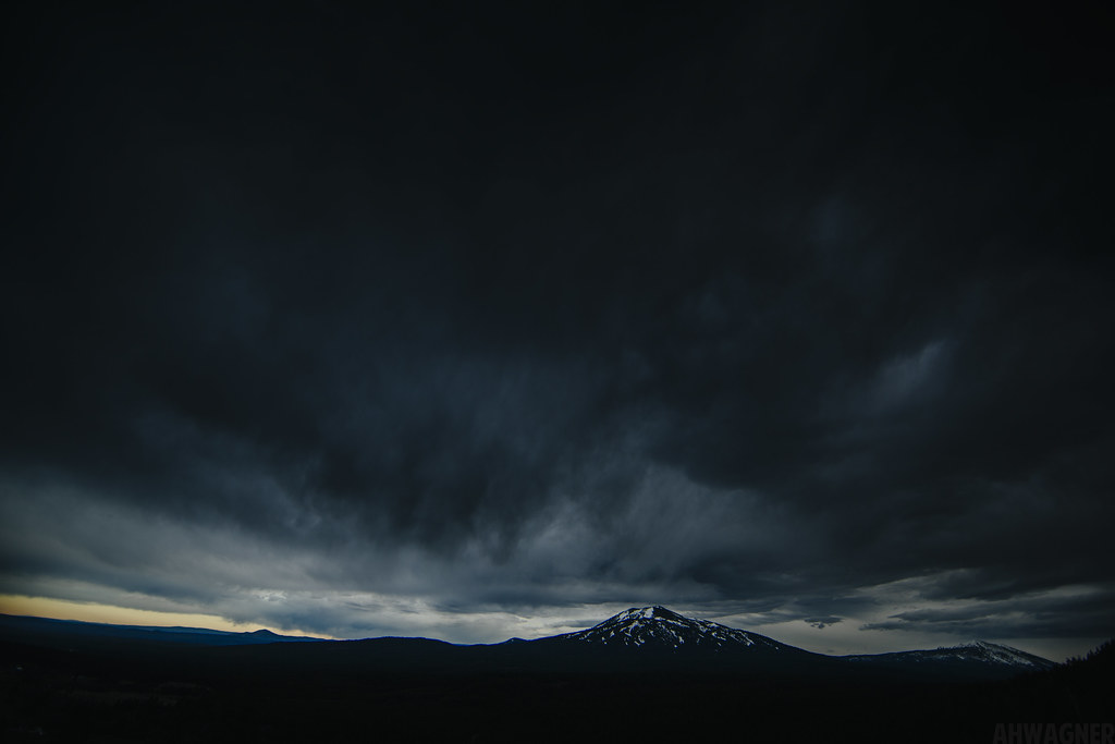
Night at Burney Mountain [03.30.13]
Sleep Walk

Burney Mountain [03.30.13]
_MG_4252.jpg
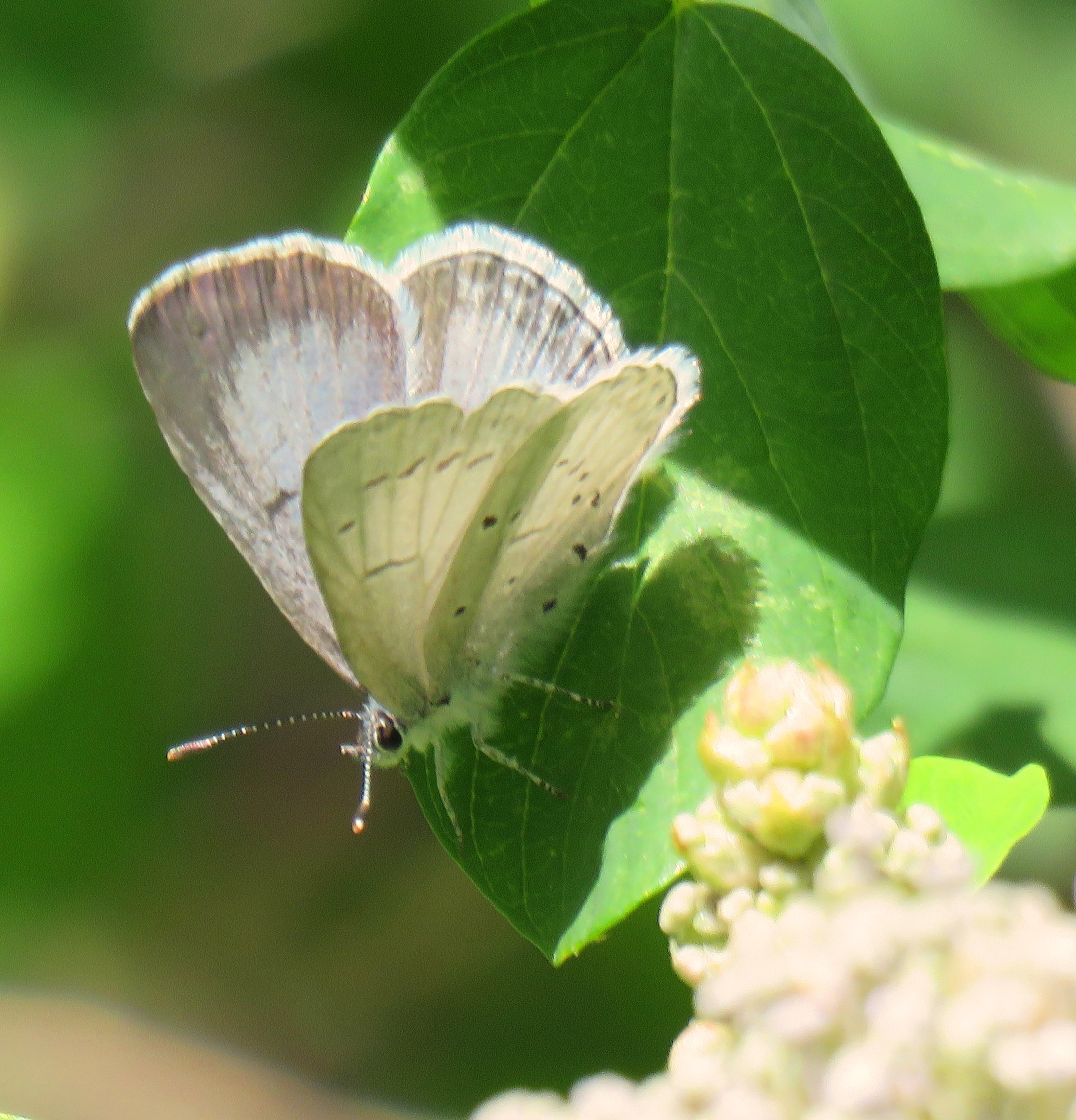
Echo Azure (female)
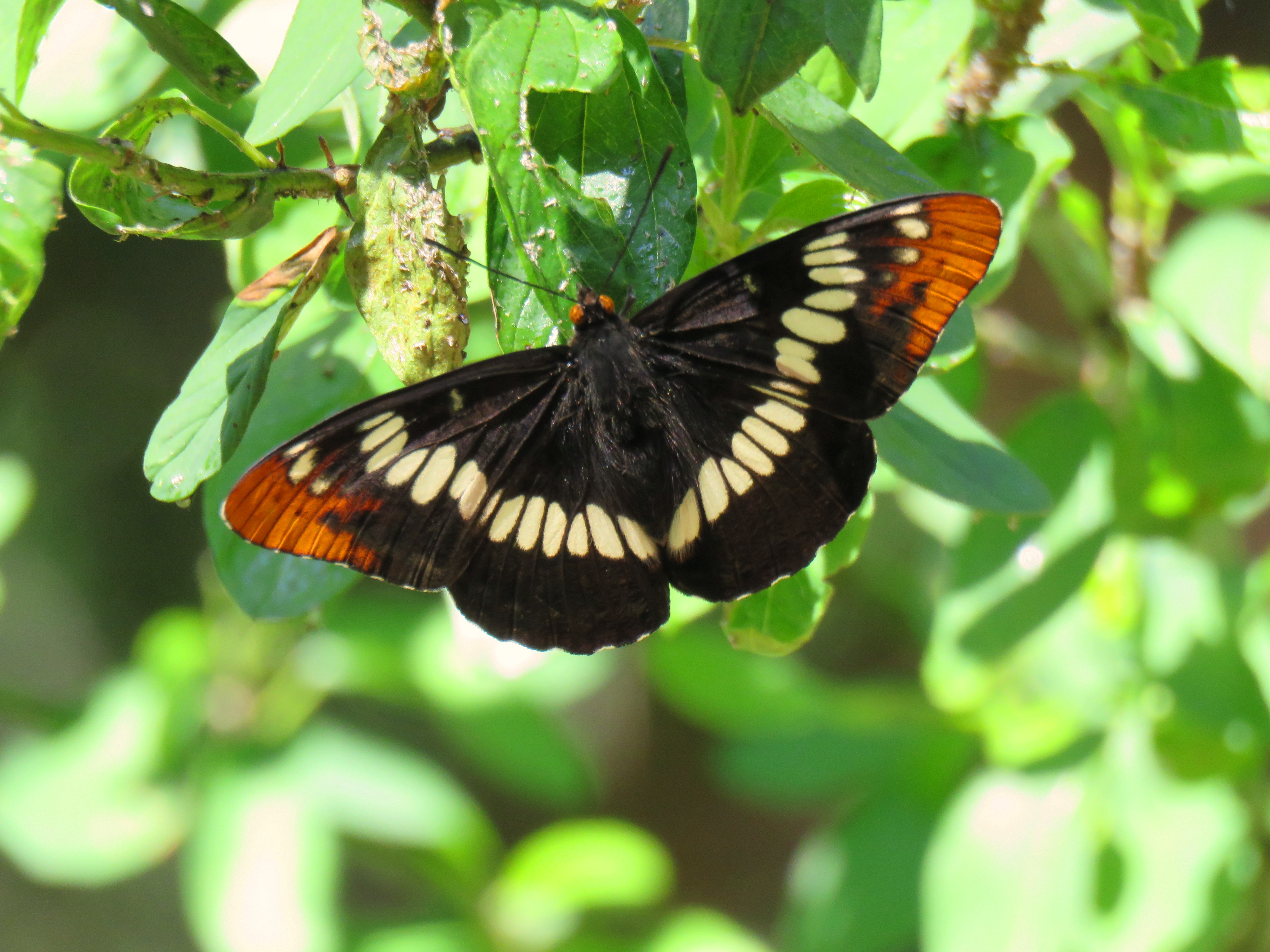
Lorquin's Admiral 6-10-16, Hat Creek CA
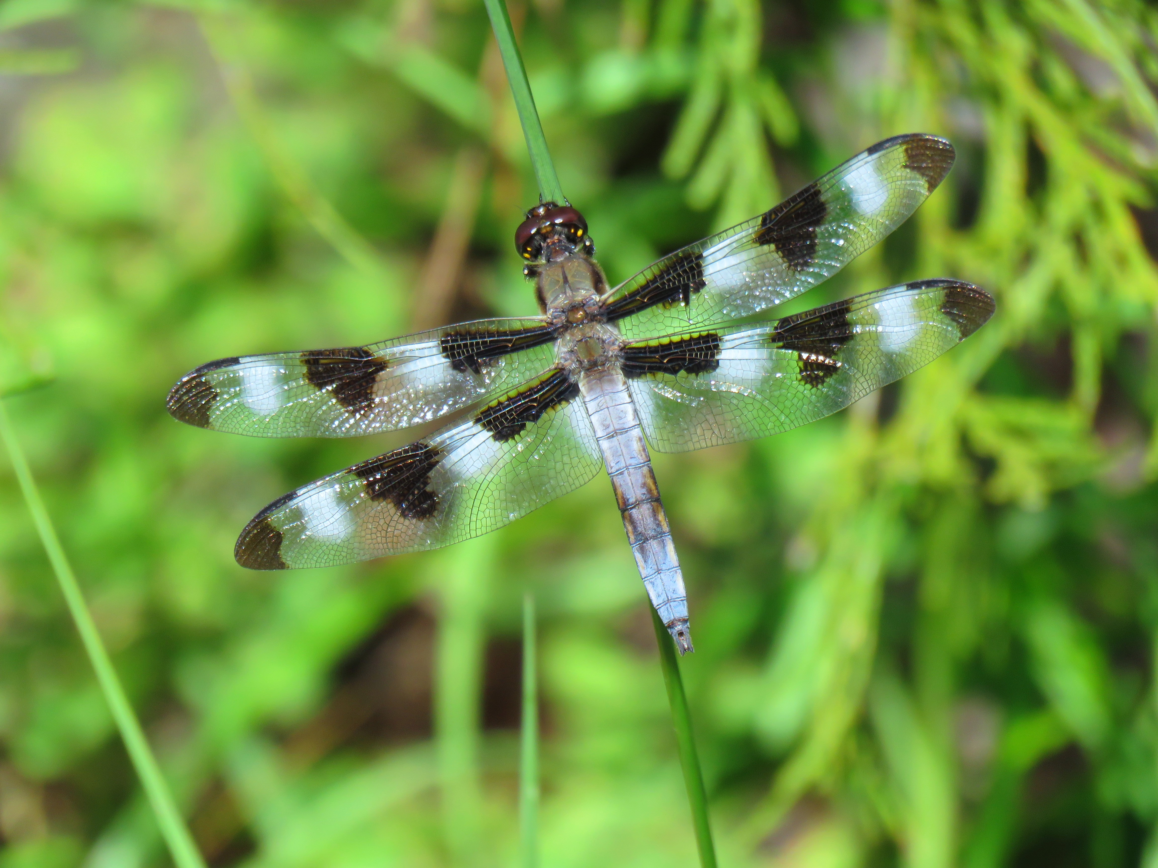
Twelve Spotted Skimmer (male) 6-10-16 Hat Creek CA

HELP with ID
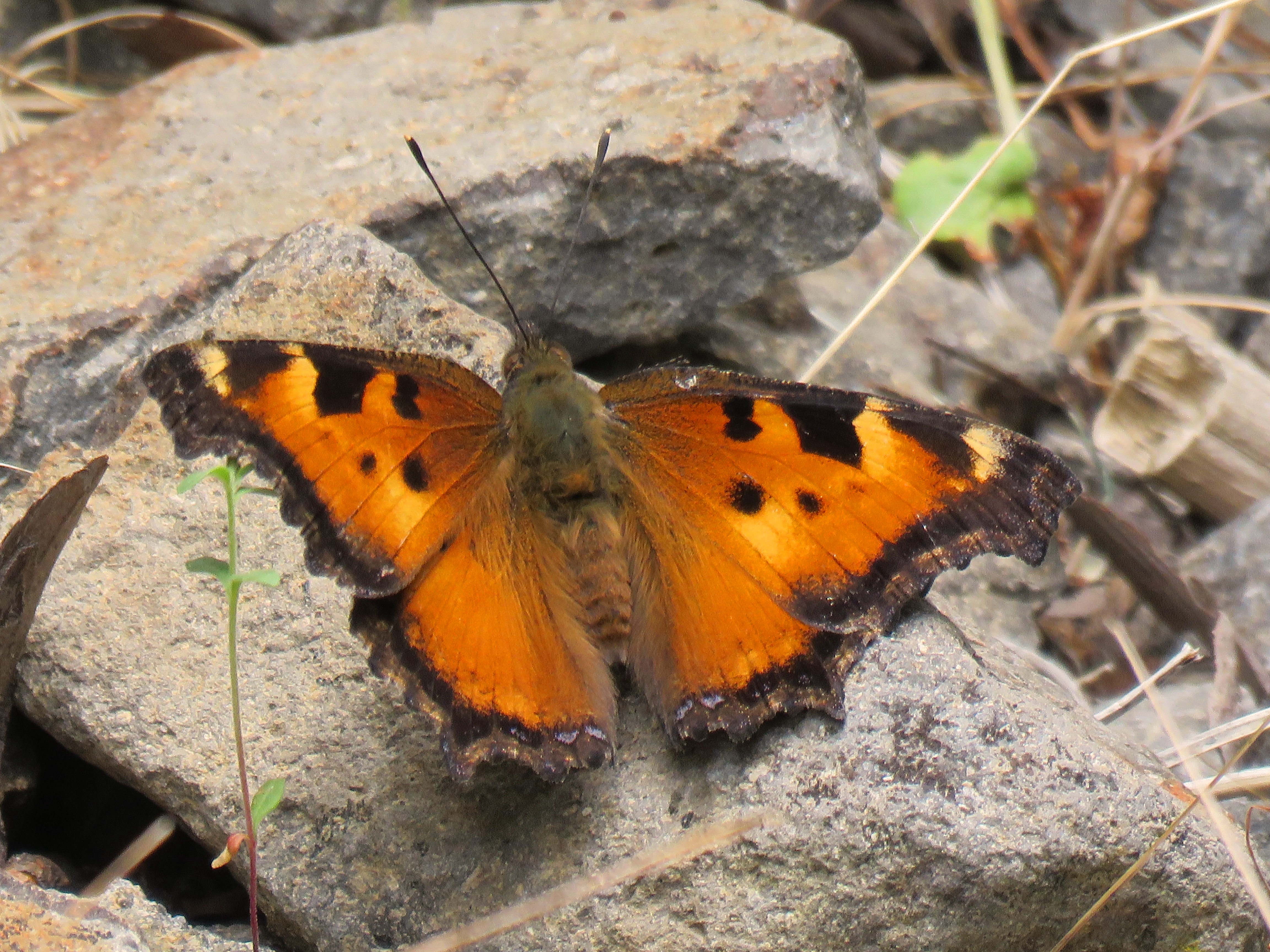
California Tortoiseshell (upperwing)

California Tortoiseshell (lowerwing), Berney CA

Pit Rivet Arm of Lake Shasta
Pit Rivet Arm of Lake Shasta

_7150056.NEF
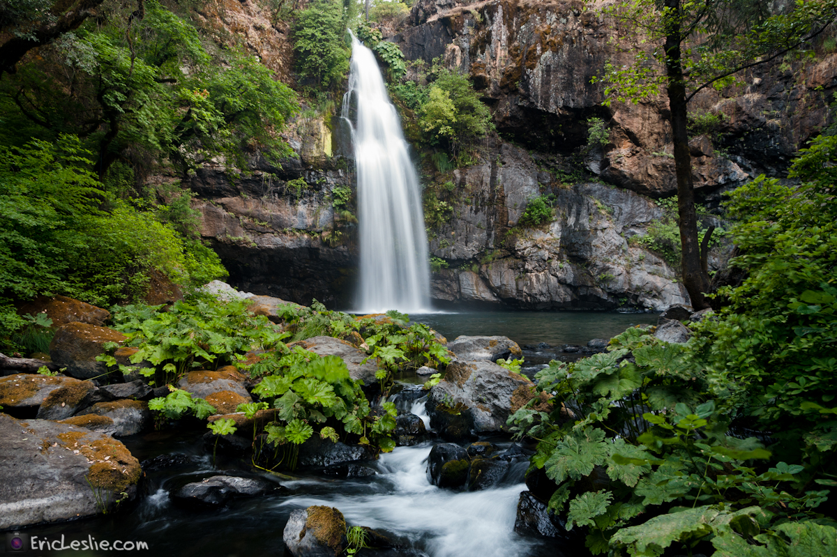
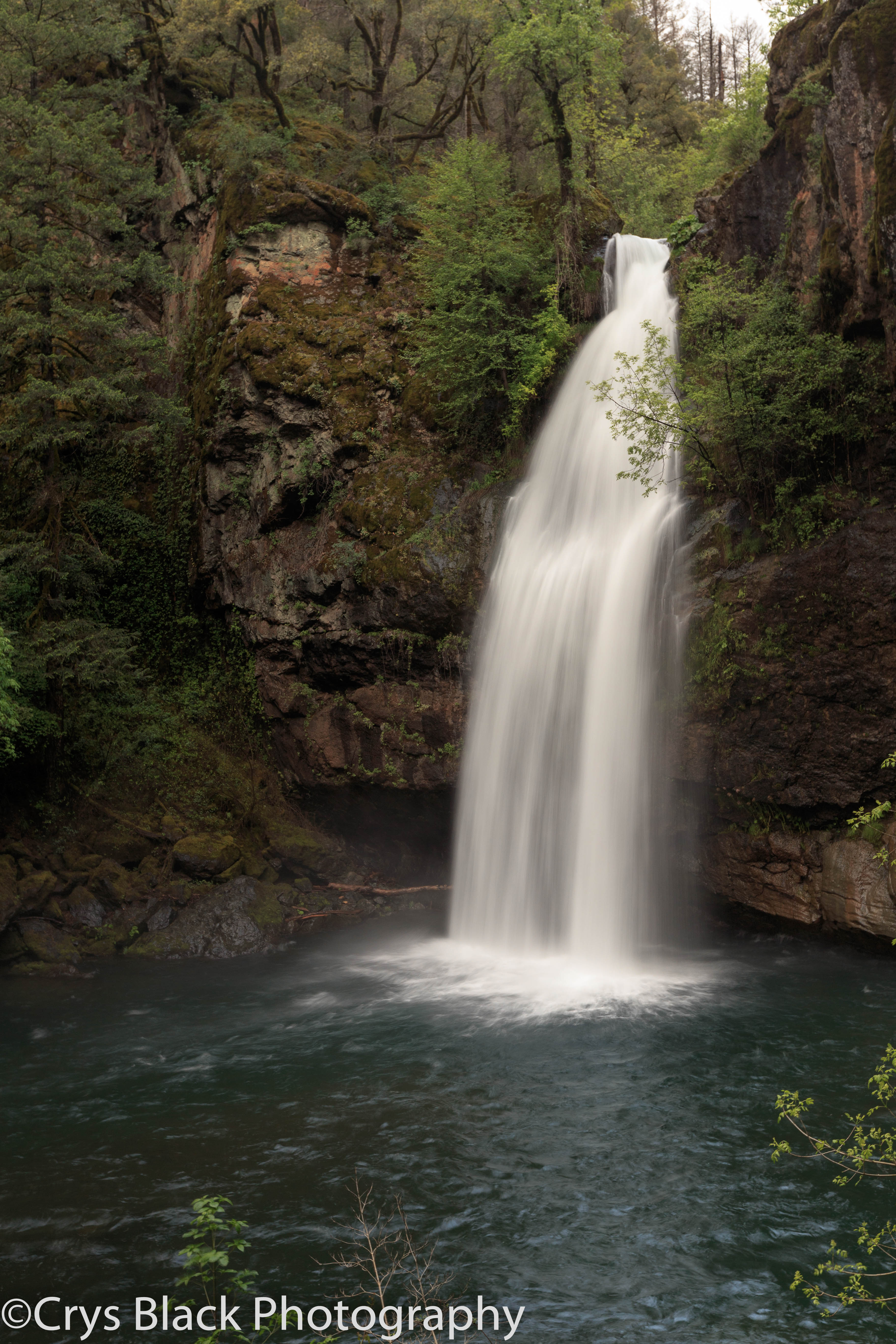
On the way to McArthur-Burney Falls

_9080256.NEF

_9080257.NEF

_8210039.NEF

_8210034.NEF

_8210036.NEF

_8210037.NEF

_8210038.NEF
Complimenting the Country Side
Burney Mountain [03.30.13]
Mapa de Hillcrest Rest Area, 40°51'51."N °53'."W, Anderossa Ln, 9, CA, EE. UU.
Buscar otro lugar
Lugares cercanos
Big Bend Rd, Montgomery Creek, CA, EE. UU.
Montgomery Creek, California, EE. UU.
CA-, Montgomery Creek, CA, EE. UU.
Dunn Moody Rd, Round Mountain, CA, EE. UU.
Mountain School Rd, Round Mountain, CA, EE. UU.
Terry Mill Rd, Round Mountain, CA, EE. UU.
Big Bend Road, Big Bend Rd, California, EE. UU.
Hill Country Community Clinic, CA-, Round Mountain, CA, EE. UU.
Round Mountain, California, EE. UU.
Redding, CA, EE. UU.
Condado de Shasta, California, EE. UU.
Big Bend Rd, Big Bend, CA, EE. UU.
Big Bend, California, EE. UU.
Peridot Ln, Burney, CA, EE. UU.
Birch Ave, Burney, CA, EE. UU.
Burney, California, EE. UU.
Burney Mountain, California, EE. UU.
Garden Ln, Burney, CA, EE. UU.
Burney Falls, California, EE. UU.
Redding, California, EE. UU.
Búsquedas recientes
- Horas de salida y puesta de sol de Estates Loop, Priest River, ID, USA
- Horas de salida y puesta de sol de Woodland Oak Pl, Thousand Oaks, CA, EE. UU.
- Horas de salida y puesta de sol de Sarangdanda, Nepal
- Horas de salida y puesta de sol de Nakanoshima, Shiogama, Miyagi -, Japan
- Horas de salida y puesta de sol de Centro de Investigación en Astronomía, Astrofísica y Geofísica de Argel, bp - 63 Rte de l'Observatoi
- Horas de salida y puesta de sol de Crocker Dr, Vacaville, CA, USA
- Horas de salida y puesta de sol de Pu Ngaol Community Meeting Hall, HWHM+3X7, Krong Saen Monourom, Cambodia
- Horas de salida y puesta de sol de Pantai Cermin, batu 10, Jalan Pantai, Port Dickson, Melaka, Malasia
- Horas de salida y puesta de sol de Groblershoop, Sudáfrica
- Horas de salida y puesta de sol de Petriti, Greece