Horas de salida y puesta de sol de Havilah, CA, EE. UU.
Location: Estados Unidos > California > Condado de Kern >
Zona horaria:
America/Los_Angeles
Hora local:
2024-04-30 00:08:52
Longitud:
-118.5186972
Latitud:
35.5177324
Salida de sol de hoy:
06:02:09 AM
Puesta de sol de hoy:
07:40:12 PM
La duración del día hoy:
13h 38m 3s
Salida de sol de mañana:
06:01:06 AM
Puesta de sol de mañana:
07:41:01 PM
La duración del día mañana:
13h 39m 55s
Mostrar todas las fechas
| Fecha | Salida de sol | Puesta de sol | Duración del día |
|---|---|---|---|
| 01/01/2024 | 07:03:26 AM | 04:52:27 PM | 9h 49m 1s |
| 02/01/2024 | 07:03:34 AM | 04:53:15 PM | 9h 49m 41s |
| 03/01/2024 | 07:03:41 AM | 04:54:03 PM | 9h 50m 22s |
| 04/01/2024 | 07:03:45 AM | 04:54:53 PM | 9h 51m 8s |
| 05/01/2024 | 07:03:48 AM | 04:55:43 PM | 9h 51m 55s |
| 06/01/2024 | 07:03:49 AM | 04:56:35 PM | 9h 52m 46s |
| 07/01/2024 | 07:03:47 AM | 04:57:27 PM | 9h 53m 40s |
| 08/01/2024 | 07:03:44 AM | 04:58:21 PM | 9h 54m 37s |
| 09/01/2024 | 07:03:39 AM | 04:59:15 PM | 9h 55m 36s |
| 10/01/2024 | 07:03:32 AM | 05:00:10 PM | 9h 56m 38s |
| 11/01/2024 | 07:03:23 AM | 05:01:06 PM | 9h 57m 43s |
| 12/01/2024 | 07:03:12 AM | 05:02:03 PM | 9h 58m 51s |
| 13/01/2024 | 07:02:59 AM | 05:03:00 PM | 10h 0m 1s |
| 14/01/2024 | 07:02:44 AM | 05:03:58 PM | 10h 1m 14s |
| 15/01/2024 | 07:02:27 AM | 05:04:57 PM | 10h 2m 30s |
| 16/01/2024 | 07:02:09 AM | 05:05:56 PM | 10h 3m 47s |
| 17/01/2024 | 07:01:48 AM | 05:06:56 PM | 10h 5m 8s |
| 18/01/2024 | 07:01:26 AM | 05:07:56 PM | 10h 6m 30s |
| 19/01/2024 | 07:01:02 AM | 05:08:56 PM | 10h 7m 54s |
| 20/01/2024 | 07:00:35 AM | 05:09:57 PM | 10h 9m 22s |
| 21/01/2024 | 07:00:07 AM | 05:10:58 PM | 10h 10m 51s |
| 22/01/2024 | 06:59:38 AM | 05:11:59 PM | 10h 12m 21s |
| 23/01/2024 | 06:59:06 AM | 05:13:01 PM | 10h 13m 55s |
| 24/01/2024 | 06:58:33 AM | 05:14:02 PM | 10h 15m 29s |
| 25/01/2024 | 06:57:58 AM | 05:15:04 PM | 10h 17m 6s |
| 26/01/2024 | 06:57:21 AM | 05:16:06 PM | 10h 18m 45s |
| 27/01/2024 | 06:56:42 AM | 05:17:09 PM | 10h 20m 27s |
| 28/01/2024 | 06:56:02 AM | 05:18:11 PM | 10h 22m 9s |
| 29/01/2024 | 06:55:20 AM | 05:19:13 PM | 10h 23m 53s |
| 30/01/2024 | 06:54:37 AM | 05:20:15 PM | 10h 25m 38s |
| 31/01/2024 | 06:53:52 AM | 05:21:17 PM | 10h 27m 25s |
| 01/02/2024 | 06:53:05 AM | 05:22:19 PM | 10h 29m 14s |
| 02/02/2024 | 06:52:17 AM | 05:23:21 PM | 10h 31m 4s |
| 03/02/2024 | 06:51:28 AM | 05:24:23 PM | 10h 32m 55s |
| 04/02/2024 | 06:50:36 AM | 05:25:25 PM | 10h 34m 49s |
| 05/02/2024 | 06:49:44 AM | 05:26:27 PM | 10h 36m 43s |
| 06/02/2024 | 06:48:50 AM | 05:27:28 PM | 10h 38m 38s |
| 07/02/2024 | 06:47:54 AM | 05:28:29 PM | 10h 40m 35s |
| 08/02/2024 | 06:46:58 AM | 05:29:30 PM | 10h 42m 32s |
| 09/02/2024 | 06:46:00 AM | 05:30:31 PM | 10h 44m 31s |
| 10/02/2024 | 06:45:00 AM | 05:31:32 PM | 10h 46m 32s |
| 11/02/2024 | 06:43:59 AM | 05:32:32 PM | 10h 48m 33s |
| 12/02/2024 | 06:42:58 AM | 05:33:32 PM | 10h 50m 34s |
| 13/02/2024 | 06:41:54 AM | 05:34:32 PM | 10h 52m 38s |
| 14/02/2024 | 06:40:50 AM | 05:35:31 PM | 10h 54m 41s |
| 15/02/2024 | 06:39:45 AM | 05:36:30 PM | 10h 56m 45s |
| 16/02/2024 | 06:38:38 AM | 05:37:29 PM | 10h 58m 51s |
| 17/02/2024 | 06:37:31 AM | 05:38:27 PM | 11h 0m 56s |
| 18/02/2024 | 06:36:22 AM | 05:39:25 PM | 11h 3m 3s |
| 19/02/2024 | 06:35:12 AM | 05:40:23 PM | 11h 5m 11s |
| 20/02/2024 | 06:34:02 AM | 05:41:21 PM | 11h 7m 19s |
| 21/02/2024 | 06:32:50 AM | 05:42:18 PM | 11h 9m 28s |
| 22/02/2024 | 06:31:37 AM | 05:43:15 PM | 11h 11m 38s |
| 23/02/2024 | 06:30:24 AM | 05:44:11 PM | 11h 13m 47s |
| 24/02/2024 | 06:29:10 AM | 05:45:07 PM | 11h 15m 57s |
| 25/02/2024 | 06:27:55 AM | 05:46:03 PM | 11h 18m 8s |
| 26/02/2024 | 06:26:39 AM | 05:46:59 PM | 11h 20m 20s |
| 27/02/2024 | 06:25:22 AM | 05:47:54 PM | 11h 22m 32s |
| 28/02/2024 | 06:24:05 AM | 05:48:49 PM | 11h 24m 44s |
| 29/02/2024 | 06:22:47 AM | 05:49:43 PM | 11h 26m 56s |
| 01/03/2024 | 06:21:28 AM | 05:50:37 PM | 11h 29m 9s |
| 02/03/2024 | 06:20:09 AM | 05:51:31 PM | 11h 31m 22s |
| 03/03/2024 | 06:18:49 AM | 05:52:25 PM | 11h 33m 36s |
| 04/03/2024 | 06:17:28 AM | 05:53:18 PM | 11h 35m 50s |
| 05/03/2024 | 06:16:07 AM | 05:54:11 PM | 11h 38m 4s |
| 06/03/2024 | 06:14:45 AM | 05:55:04 PM | 11h 40m 19s |
| 07/03/2024 | 06:13:23 AM | 05:55:56 PM | 11h 42m 33s |
| 08/03/2024 | 06:12:01 AM | 05:56:48 PM | 11h 44m 47s |
| 09/03/2024 | 06:10:38 AM | 05:57:40 PM | 11h 47m 2s |
| 10/03/2024 | 07:09:18 AM | 06:58:30 PM | 11h 49m 12s |
| 11/03/2024 | 07:07:54 AM | 06:59:21 PM | 11h 51m 27s |
| 12/03/2024 | 07:06:30 AM | 07:00:12 PM | 11h 53m 42s |
| 13/03/2024 | 07:05:06 AM | 07:01:03 PM | 11h 55m 57s |
| 14/03/2024 | 07:03:42 AM | 07:01:54 PM | 11h 58m 12s |
| 15/03/2024 | 07:02:17 AM | 07:02:45 PM | 12h 0m 28s |
| 16/03/2024 | 07:00:52 AM | 07:03:35 PM | 12h 2m 43s |
| 17/03/2024 | 06:59:27 AM | 07:04:25 PM | 12h 4m 58s |
| 18/03/2024 | 06:58:01 AM | 07:05:15 PM | 12h 7m 14s |
| 19/03/2024 | 06:56:36 AM | 07:06:05 PM | 12h 9m 29s |
| 20/03/2024 | 06:55:10 AM | 07:06:55 PM | 12h 11m 45s |
| 21/03/2024 | 06:53:45 AM | 07:07:45 PM | 12h 14m 0s |
| 22/03/2024 | 06:52:19 AM | 07:08:34 PM | 12h 16m 15s |
| 23/03/2024 | 06:50:54 AM | 07:09:24 PM | 12h 18m 30s |
| 24/03/2024 | 06:49:28 AM | 07:10:13 PM | 12h 20m 45s |
| 25/03/2024 | 06:48:02 AM | 07:11:03 PM | 12h 23m 1s |
| 26/03/2024 | 06:46:37 AM | 07:11:52 PM | 12h 25m 15s |
| 27/03/2024 | 06:45:12 AM | 07:12:41 PM | 12h 27m 29s |
| 28/03/2024 | 06:43:47 AM | 07:13:30 PM | 12h 29m 43s |
| 29/03/2024 | 06:42:22 AM | 07:14:19 PM | 12h 31m 57s |
| 30/03/2024 | 06:40:57 AM | 07:15:08 PM | 12h 34m 11s |
| 31/03/2024 | 06:39:32 AM | 07:15:57 PM | 12h 36m 25s |
| 01/04/2024 | 06:38:08 AM | 07:16:46 PM | 12h 38m 38s |
| 02/04/2024 | 06:36:44 AM | 07:17:35 PM | 12h 40m 51s |
| 03/04/2024 | 06:35:20 AM | 07:18:24 PM | 12h 43m 4s |
| 04/04/2024 | 06:33:57 AM | 07:19:13 PM | 12h 45m 16s |
| 05/04/2024 | 06:32:34 AM | 07:20:02 PM | 12h 47m 28s |
| 06/04/2024 | 06:31:12 AM | 07:20:51 PM | 12h 49m 39s |
| 07/04/2024 | 06:29:49 AM | 07:21:40 PM | 12h 51m 51s |
| 08/04/2024 | 06:28:28 AM | 07:22:29 PM | 12h 54m 1s |
| 09/04/2024 | 06:27:07 AM | 07:23:19 PM | 12h 56m 12s |
| 10/04/2024 | 06:25:46 AM | 07:24:08 PM | 12h 58m 22s |
| 11/04/2024 | 06:24:26 AM | 07:24:57 PM | 13h 0m 31s |
| 12/04/2024 | 06:23:07 AM | 07:25:46 PM | 13h 2m 39s |
| 13/04/2024 | 06:21:48 AM | 07:26:36 PM | 13h 4m 48s |
| 14/04/2024 | 06:20:30 AM | 07:27:25 PM | 13h 6m 55s |
| 15/04/2024 | 06:19:12 AM | 07:28:15 PM | 13h 9m 3s |
| 16/04/2024 | 06:17:55 AM | 07:29:04 PM | 13h 11m 9s |
| 17/04/2024 | 06:16:39 AM | 07:29:54 PM | 13h 13m 15s |
| 18/04/2024 | 06:15:24 AM | 07:30:44 PM | 13h 15m 20s |
| 19/04/2024 | 06:14:09 AM | 07:31:33 PM | 13h 17m 24s |
| 20/04/2024 | 06:12:55 AM | 07:32:23 PM | 13h 19m 28s |
| 21/04/2024 | 06:11:43 AM | 07:33:13 PM | 13h 21m 30s |
| 22/04/2024 | 06:10:31 AM | 07:34:03 PM | 13h 23m 32s |
| 23/04/2024 | 06:09:19 AM | 07:34:53 PM | 13h 25m 34s |
| 24/04/2024 | 06:08:09 AM | 07:35:43 PM | 13h 27m 34s |
| 25/04/2024 | 06:07:00 AM | 07:36:33 PM | 13h 29m 33s |
| 26/04/2024 | 06:05:52 AM | 07:37:23 PM | 13h 31m 31s |
| 27/04/2024 | 06:04:45 AM | 07:38:13 PM | 13h 33m 28s |
| 28/04/2024 | 06:03:38 AM | 07:39:03 PM | 13h 35m 25s |
| 29/04/2024 | 06:02:33 AM | 07:39:53 PM | 13h 37m 20s |
| 30/04/2024 | 06:01:29 AM | 07:40:43 PM | 13h 39m 14s |
| 01/05/2024 | 06:00:26 AM | 07:41:33 PM | 13h 41m 7s |
| 02/05/2024 | 05:59:25 AM | 07:42:23 PM | 13h 42m 58s |
| 03/05/2024 | 05:58:24 AM | 07:43:12 PM | 13h 44m 48s |
| 04/05/2024 | 05:57:25 AM | 07:44:02 PM | 13h 46m 37s |
| 05/05/2024 | 05:56:27 AM | 07:44:52 PM | 13h 48m 25s |
| 06/05/2024 | 05:55:30 AM | 07:45:41 PM | 13h 50m 11s |
| 07/05/2024 | 05:54:34 AM | 07:46:30 PM | 13h 51m 56s |
| 08/05/2024 | 05:53:40 AM | 07:47:20 PM | 13h 53m 40s |
| 09/05/2024 | 05:52:47 AM | 07:48:09 PM | 13h 55m 22s |
| 10/05/2024 | 05:51:55 AM | 07:48:57 PM | 13h 57m 2s |
| 11/05/2024 | 05:51:05 AM | 07:49:46 PM | 13h 58m 41s |
| 12/05/2024 | 05:50:16 AM | 07:50:34 PM | 14h 0m 18s |
| 13/05/2024 | 05:49:29 AM | 07:51:22 PM | 14h 1m 53s |
| 14/05/2024 | 05:48:43 AM | 07:52:10 PM | 14h 3m 27s |
| 15/05/2024 | 05:47:59 AM | 07:52:57 PM | 14h 4m 58s |
| 16/05/2024 | 05:47:16 AM | 07:53:44 PM | 14h 6m 28s |
| 17/05/2024 | 05:46:34 AM | 07:54:31 PM | 14h 7m 57s |
| 18/05/2024 | 05:45:54 AM | 07:55:17 PM | 14h 9m 23s |
| 19/05/2024 | 05:45:16 AM | 07:56:03 PM | 14h 10m 47s |
| 20/05/2024 | 05:44:39 AM | 07:56:48 PM | 14h 12m 9s |
| 21/05/2024 | 05:44:04 AM | 07:57:32 PM | 14h 13m 28s |
| 22/05/2024 | 05:43:30 AM | 07:58:17 PM | 14h 14m 47s |
| 23/05/2024 | 05:42:58 AM | 07:59:00 PM | 14h 16m 2s |
| 24/05/2024 | 05:42:27 AM | 07:59:43 PM | 14h 17m 16s |
| 25/05/2024 | 05:41:58 AM | 08:00:25 PM | 14h 18m 27s |
| 26/05/2024 | 05:41:31 AM | 08:01:07 PM | 14h 19m 36s |
| 27/05/2024 | 05:41:06 AM | 08:01:48 PM | 14h 20m 42s |
| 28/05/2024 | 05:40:42 AM | 08:02:28 PM | 14h 21m 46s |
| 29/05/2024 | 05:40:20 AM | 08:03:07 PM | 14h 22m 47s |
| 30/05/2024 | 05:39:59 AM | 08:03:45 PM | 14h 23m 46s |
| 31/05/2024 | 05:39:40 AM | 08:04:23 PM | 14h 24m 43s |
| 01/06/2024 | 05:39:23 AM | 08:04:59 PM | 14h 25m 36s |
| 02/06/2024 | 05:39:07 AM | 08:05:35 PM | 14h 26m 28s |
| 03/06/2024 | 05:38:54 AM | 08:06:09 PM | 14h 27m 15s |
| 04/06/2024 | 05:38:42 AM | 08:06:43 PM | 14h 28m 1s |
| 05/06/2024 | 05:38:31 AM | 08:07:16 PM | 14h 28m 45s |
| 06/06/2024 | 05:38:22 AM | 08:07:47 PM | 14h 29m 25s |
| 07/06/2024 | 05:38:15 AM | 08:08:17 PM | 14h 30m 2s |
| 08/06/2024 | 05:38:10 AM | 08:08:47 PM | 14h 30m 37s |
| 09/06/2024 | 05:38:06 AM | 08:09:14 PM | 14h 31m 8s |
| 10/06/2024 | 05:38:04 AM | 08:09:41 PM | 14h 31m 37s |
| 11/06/2024 | 05:38:03 AM | 08:10:07 PM | 14h 32m 4s |
| 12/06/2024 | 05:38:04 AM | 08:10:31 PM | 14h 32m 27s |
| 13/06/2024 | 05:38:07 AM | 08:10:54 PM | 14h 32m 47s |
| 14/06/2024 | 05:38:11 AM | 08:11:15 PM | 14h 33m 4s |
| 15/06/2024 | 05:38:17 AM | 08:11:35 PM | 14h 33m 18s |
| 16/06/2024 | 05:38:24 AM | 08:11:54 PM | 14h 33m 30s |
| 17/06/2024 | 05:38:33 AM | 08:12:11 PM | 14h 33m 38s |
| 18/06/2024 | 05:38:44 AM | 08:12:26 PM | 14h 33m 42s |
| 19/06/2024 | 05:38:56 AM | 08:12:41 PM | 14h 33m 45s |
| 20/06/2024 | 05:39:09 AM | 08:12:53 PM | 14h 33m 44s |
| 21/06/2024 | 05:39:24 AM | 08:13:04 PM | 14h 33m 40s |
| 22/06/2024 | 05:39:41 AM | 08:13:14 PM | 14h 33m 33s |
| 23/06/2024 | 05:39:58 AM | 08:13:22 PM | 14h 33m 24s |
| 24/06/2024 | 05:40:17 AM | 08:13:28 PM | 14h 33m 11s |
| 25/06/2024 | 05:40:38 AM | 08:13:33 PM | 14h 32m 55s |
| 26/06/2024 | 05:41:00 AM | 08:13:36 PM | 14h 32m 36s |
| 27/06/2024 | 05:41:23 AM | 08:13:37 PM | 14h 32m 14s |
| 28/06/2024 | 05:41:47 AM | 08:13:37 PM | 14h 31m 50s |
| 29/06/2024 | 05:42:12 AM | 08:13:35 PM | 14h 31m 23s |
| 30/06/2024 | 05:42:39 AM | 08:13:32 PM | 14h 30m 53s |
| 01/07/2024 | 05:43:07 AM | 08:13:26 PM | 14h 30m 19s |
| 02/07/2024 | 05:43:36 AM | 08:13:19 PM | 14h 29m 43s |
| 03/07/2024 | 05:44:06 AM | 08:13:10 PM | 14h 29m 4s |
| 04/07/2024 | 05:44:37 AM | 08:13:00 PM | 14h 28m 23s |
| 05/07/2024 | 05:45:09 AM | 08:12:48 PM | 14h 27m 39s |
| 06/07/2024 | 05:45:42 AM | 08:12:34 PM | 14h 26m 52s |
| 07/07/2024 | 05:46:15 AM | 08:12:18 PM | 14h 26m 3s |
| 08/07/2024 | 05:46:50 AM | 08:12:01 PM | 14h 25m 11s |
| 09/07/2024 | 05:47:26 AM | 08:11:42 PM | 14h 24m 16s |
| 10/07/2024 | 05:48:02 AM | 08:11:21 PM | 14h 23m 19s |
| 11/07/2024 | 05:48:40 AM | 08:10:59 PM | 14h 22m 19s |
| 12/07/2024 | 05:49:18 AM | 08:10:34 PM | 14h 21m 16s |
| 13/07/2024 | 05:49:57 AM | 08:10:08 PM | 14h 20m 11s |
| 14/07/2024 | 05:50:36 AM | 08:09:41 PM | 14h 19m 5s |
| 15/07/2024 | 05:51:16 AM | 08:09:12 PM | 14h 17m 56s |
| 16/07/2024 | 05:51:57 AM | 08:08:41 PM | 14h 16m 44s |
| 17/07/2024 | 05:52:38 AM | 08:08:08 PM | 14h 15m 30s |
| 18/07/2024 | 05:53:20 AM | 08:07:34 PM | 14h 14m 14s |
| 19/07/2024 | 05:54:02 AM | 08:06:58 PM | 14h 12m 56s |
| 20/07/2024 | 05:54:45 AM | 08:06:21 PM | 14h 11m 36s |
| 21/07/2024 | 05:55:28 AM | 08:05:42 PM | 14h 10m 14s |
| 22/07/2024 | 05:56:12 AM | 08:05:01 PM | 14h 8m 49s |
| 23/07/2024 | 05:56:56 AM | 08:04:19 PM | 14h 7m 23s |
| 24/07/2024 | 05:57:40 AM | 08:03:35 PM | 14h 5m 55s |
| 25/07/2024 | 05:58:25 AM | 08:02:50 PM | 14h 4m 25s |
| 26/07/2024 | 05:59:10 AM | 08:02:03 PM | 14h 2m 53s |
| 27/07/2024 | 05:59:55 AM | 08:01:15 PM | 14h 1m 20s |
| 28/07/2024 | 06:00:40 AM | 08:00:26 PM | 13h 59m 46s |
| 29/07/2024 | 06:01:26 AM | 07:59:35 PM | 13h 58m 9s |
| 30/07/2024 | 06:02:12 AM | 07:58:42 PM | 13h 56m 30s |
| 31/07/2024 | 06:02:58 AM | 07:57:48 PM | 13h 54m 50s |
| 01/08/2024 | 06:03:44 AM | 07:56:53 PM | 13h 53m 9s |
| 02/08/2024 | 06:04:30 AM | 07:55:57 PM | 13h 51m 27s |
| 03/08/2024 | 06:05:17 AM | 07:54:59 PM | 13h 49m 42s |
| 04/08/2024 | 06:06:03 AM | 07:54:00 PM | 13h 47m 57s |
| 05/08/2024 | 06:06:50 AM | 07:52:59 PM | 13h 46m 9s |
| 06/08/2024 | 06:07:36 AM | 07:51:58 PM | 13h 44m 22s |
| 07/08/2024 | 06:08:23 AM | 07:50:55 PM | 13h 42m 32s |
| 08/08/2024 | 06:09:10 AM | 07:49:51 PM | 13h 40m 41s |
| 09/08/2024 | 06:09:56 AM | 07:48:46 PM | 13h 38m 50s |
| 10/08/2024 | 06:10:43 AM | 07:47:39 PM | 13h 36m 56s |
| 11/08/2024 | 06:11:30 AM | 07:46:32 PM | 13h 35m 2s |
| 12/08/2024 | 06:12:16 AM | 07:45:24 PM | 13h 33m 8s |
| 13/08/2024 | 06:13:03 AM | 07:44:14 PM | 13h 31m 11s |
| 14/08/2024 | 06:13:49 AM | 07:43:04 PM | 13h 29m 15s |
| 15/08/2024 | 06:14:36 AM | 07:41:52 PM | 13h 27m 16s |
| 16/08/2024 | 06:15:22 AM | 07:40:40 PM | 13h 25m 18s |
| 17/08/2024 | 06:16:08 AM | 07:39:27 PM | 13h 23m 19s |
| 18/08/2024 | 06:16:54 AM | 07:38:12 PM | 13h 21m 18s |
| 19/08/2024 | 06:17:40 AM | 07:36:57 PM | 13h 19m 17s |
| 20/08/2024 | 06:18:26 AM | 07:35:41 PM | 13h 17m 15s |
| 21/08/2024 | 06:19:12 AM | 07:34:24 PM | 13h 15m 12s |
| 22/08/2024 | 06:19:58 AM | 07:33:07 PM | 13h 13m 9s |
| 23/08/2024 | 06:20:44 AM | 07:31:49 PM | 13h 11m 5s |
| 24/08/2024 | 06:21:30 AM | 07:30:30 PM | 13h 9m 0s |
| 25/08/2024 | 06:22:15 AM | 07:29:10 PM | 13h 6m 55s |
| 26/08/2024 | 06:23:01 AM | 07:27:49 PM | 13h 4m 48s |
| 27/08/2024 | 06:23:46 AM | 07:26:28 PM | 13h 2m 42s |
| 28/08/2024 | 06:24:31 AM | 07:25:07 PM | 13h 0m 36s |
| 29/08/2024 | 06:25:17 AM | 07:23:44 PM | 12h 58m 27s |
| 30/08/2024 | 06:26:02 AM | 07:22:22 PM | 12h 56m 20s |
| 31/08/2024 | 06:26:47 AM | 07:20:58 PM | 12h 54m 11s |
| 01/09/2024 | 06:27:32 AM | 07:19:35 PM | 12h 52m 3s |
| 02/09/2024 | 06:28:17 AM | 07:18:10 PM | 12h 49m 53s |
| 03/09/2024 | 06:29:02 AM | 07:16:46 PM | 12h 47m 44s |
| 04/09/2024 | 06:29:46 AM | 07:15:20 PM | 12h 45m 34s |
| 05/09/2024 | 06:30:31 AM | 07:13:55 PM | 12h 43m 24s |
| 06/09/2024 | 06:31:16 AM | 07:12:29 PM | 12h 41m 13s |
| 07/09/2024 | 06:32:01 AM | 07:11:03 PM | 12h 39m 2s |
| 08/09/2024 | 06:32:45 AM | 07:09:36 PM | 12h 36m 51s |
| 09/09/2024 | 06:33:30 AM | 07:08:09 PM | 12h 34m 39s |
| 10/09/2024 | 06:34:15 AM | 07:06:42 PM | 12h 32m 27s |
| 11/09/2024 | 06:34:59 AM | 07:05:15 PM | 12h 30m 16s |
| 12/09/2024 | 06:35:44 AM | 07:03:48 PM | 12h 28m 4s |
| 13/09/2024 | 06:36:29 AM | 07:02:20 PM | 12h 25m 51s |
| 14/09/2024 | 06:37:14 AM | 07:00:52 PM | 12h 23m 38s |
| 15/09/2024 | 06:37:59 AM | 06:59:25 PM | 12h 21m 26s |
| 16/09/2024 | 06:38:44 AM | 06:57:57 PM | 12h 19m 13s |
| 17/09/2024 | 06:39:29 AM | 06:56:29 PM | 12h 17m 0s |
| 18/09/2024 | 06:40:14 AM | 06:55:01 PM | 12h 14m 47s |
| 19/09/2024 | 06:40:59 AM | 06:53:33 PM | 12h 12m 34s |
| 20/09/2024 | 06:41:45 AM | 06:52:05 PM | 12h 10m 20s |
| 21/09/2024 | 06:42:30 AM | 06:50:37 PM | 12h 8m 7s |
| 22/09/2024 | 06:43:16 AM | 06:49:10 PM | 12h 5m 54s |
| 23/09/2024 | 06:44:02 AM | 06:47:42 PM | 12h 3m 40s |
| 24/09/2024 | 06:44:48 AM | 06:46:15 PM | 12h 1m 27s |
| 25/09/2024 | 06:45:34 AM | 06:44:48 PM | 11h 59m 14s |
| 26/09/2024 | 06:46:20 AM | 06:43:21 PM | 11h 57m 1s |
| 27/09/2024 | 06:47:07 AM | 06:41:54 PM | 11h 54m 47s |
| 28/09/2024 | 06:47:53 AM | 06:40:27 PM | 11h 52m 34s |
| 29/09/2024 | 06:48:40 AM | 06:39:01 PM | 11h 50m 21s |
| 30/09/2024 | 06:49:27 AM | 06:37:35 PM | 11h 48m 8s |
| 01/10/2024 | 06:50:15 AM | 06:36:10 PM | 11h 45m 55s |
| 02/10/2024 | 06:51:03 AM | 06:34:45 PM | 11h 43m 42s |
| 03/10/2024 | 06:51:50 AM | 06:33:20 PM | 11h 41m 30s |
| 04/10/2024 | 06:52:39 AM | 06:31:56 PM | 11h 39m 17s |
| 05/10/2024 | 06:53:27 AM | 06:30:33 PM | 11h 37m 6s |
| 06/10/2024 | 06:54:16 AM | 06:29:09 PM | 11h 34m 53s |
| 07/10/2024 | 06:55:05 AM | 06:27:47 PM | 11h 32m 42s |
| 08/10/2024 | 06:55:55 AM | 06:26:25 PM | 11h 30m 30s |
| 09/10/2024 | 06:56:44 AM | 06:25:03 PM | 11h 28m 19s |
| 10/10/2024 | 06:57:34 AM | 06:23:43 PM | 11h 26m 9s |
| 11/10/2024 | 06:58:25 AM | 06:22:22 PM | 11h 23m 57s |
| 12/10/2024 | 06:59:16 AM | 06:21:03 PM | 11h 21m 47s |
| 13/10/2024 | 07:00:07 AM | 06:19:44 PM | 11h 19m 37s |
| 14/10/2024 | 07:00:58 AM | 06:18:26 PM | 11h 17m 28s |
| 15/10/2024 | 07:01:50 AM | 06:17:09 PM | 11h 15m 19s |
| 16/10/2024 | 07:02:42 AM | 06:15:53 PM | 11h 13m 11s |
| 17/10/2024 | 07:03:35 AM | 06:14:38 PM | 11h 11m 3s |
| 18/10/2024 | 07:04:28 AM | 06:13:23 PM | 11h 8m 55s |
| 19/10/2024 | 07:05:21 AM | 06:12:09 PM | 11h 6m 48s |
| 20/10/2024 | 07:06:14 AM | 06:10:57 PM | 11h 4m 43s |
| 21/10/2024 | 07:07:08 AM | 06:09:45 PM | 11h 2m 37s |
| 22/10/2024 | 07:08:03 AM | 06:08:34 PM | 11h 0m 31s |
| 23/10/2024 | 07:08:57 AM | 06:07:25 PM | 10h 58m 28s |
| 24/10/2024 | 07:09:52 AM | 06:06:16 PM | 10h 56m 24s |
| 25/10/2024 | 07:10:48 AM | 06:05:09 PM | 10h 54m 21s |
| 26/10/2024 | 07:11:43 AM | 06:04:03 PM | 10h 52m 20s |
| 27/10/2024 | 07:12:39 AM | 06:02:57 PM | 10h 50m 18s |
| 28/10/2024 | 07:13:36 AM | 06:01:54 PM | 10h 48m 18s |
| 29/10/2024 | 07:14:33 AM | 06:00:51 PM | 10h 46m 18s |
| 30/10/2024 | 07:15:30 AM | 05:59:49 PM | 10h 44m 19s |
| 31/10/2024 | 07:16:27 AM | 05:58:49 PM | 10h 42m 22s |
| 01/11/2024 | 07:17:24 AM | 05:57:51 PM | 10h 40m 27s |
| 02/11/2024 | 07:18:22 AM | 05:56:53 PM | 10h 38m 31s |
| 03/11/2024 | 06:19:23 AM | 04:55:55 PM | 10h 36m 32s |
| 04/11/2024 | 06:20:21 AM | 04:55:00 PM | 10h 34m 39s |
| 05/11/2024 | 06:21:20 AM | 04:54:07 PM | 10h 32m 47s |
| 06/11/2024 | 06:22:18 AM | 04:53:16 PM | 10h 30m 58s |
| 07/11/2024 | 06:23:17 AM | 04:52:26 PM | 10h 29m 9s |
| 08/11/2024 | 06:24:16 AM | 04:51:37 PM | 10h 27m 21s |
| 09/11/2024 | 06:25:15 AM | 04:50:50 PM | 10h 25m 35s |
| 10/11/2024 | 06:26:15 AM | 04:50:05 PM | 10h 23m 50s |
| 11/11/2024 | 06:27:14 AM | 04:49:21 PM | 10h 22m 7s |
| 12/11/2024 | 06:28:13 AM | 04:48:39 PM | 10h 20m 26s |
| 13/11/2024 | 06:29:13 AM | 04:47:59 PM | 10h 18m 46s |
| 14/11/2024 | 06:30:12 AM | 04:47:20 PM | 10h 17m 8s |
| 15/11/2024 | 06:31:11 AM | 04:46:43 PM | 10h 15m 32s |
| 16/11/2024 | 06:32:10 AM | 04:46:08 PM | 10h 13m 58s |
| 17/11/2024 | 06:33:09 AM | 04:45:35 PM | 10h 12m 26s |
| 18/11/2024 | 06:34:08 AM | 04:45:03 PM | 10h 10m 55s |
| 19/11/2024 | 06:35:07 AM | 04:44:34 PM | 10h 9m 27s |
| 20/11/2024 | 06:36:05 AM | 04:44:06 PM | 10h 8m 1s |
| 21/11/2024 | 06:37:04 AM | 04:43:40 PM | 10h 6m 36s |
| 22/11/2024 | 06:38:02 AM | 04:43:16 PM | 10h 5m 14s |
| 23/11/2024 | 06:38:59 AM | 04:42:53 PM | 10h 3m 54s |
| 24/11/2024 | 06:39:56 AM | 04:42:33 PM | 10h 2m 37s |
| 25/11/2024 | 06:40:53 AM | 04:42:15 PM | 10h 1m 22s |
| 26/11/2024 | 06:41:49 AM | 04:41:58 PM | 10h 0m 9s |
| 27/11/2024 | 06:42:45 AM | 04:41:44 PM | 9h 58m 59s |
| 28/11/2024 | 06:43:40 AM | 04:41:31 PM | 9h 57m 51s |
| 29/11/2024 | 06:44:34 AM | 04:41:21 PM | 9h 56m 47s |
| 30/11/2024 | 06:45:28 AM | 04:41:12 PM | 9h 55m 44s |
| 01/12/2024 | 06:46:21 AM | 04:41:06 PM | 9h 54m 45s |
| 02/12/2024 | 06:47:13 AM | 04:41:01 PM | 9h 53m 48s |
| 03/12/2024 | 06:48:04 AM | 04:40:58 PM | 9h 52m 54s |
| 04/12/2024 | 06:48:55 AM | 04:40:58 PM | 9h 52m 3s |
| 05/12/2024 | 06:49:44 AM | 04:40:59 PM | 9h 51m 15s |
| 06/12/2024 | 06:50:33 AM | 04:41:03 PM | 9h 50m 30s |
| 07/12/2024 | 06:51:21 AM | 04:41:08 PM | 9h 49m 47s |
| 08/12/2024 | 06:52:07 AM | 04:41:15 PM | 9h 49m 8s |
| 09/12/2024 | 06:52:53 AM | 04:41:24 PM | 9h 48m 31s |
| 10/12/2024 | 06:53:37 AM | 04:41:35 PM | 9h 47m 58s |
| 11/12/2024 | 06:54:20 AM | 04:41:49 PM | 9h 47m 29s |
| 12/12/2024 | 06:55:02 AM | 04:42:04 PM | 9h 47m 2s |
| 13/12/2024 | 06:55:42 AM | 04:42:20 PM | 9h 46m 38s |
| 14/12/2024 | 06:56:21 AM | 04:42:39 PM | 9h 46m 18s |
| 15/12/2024 | 06:56:59 AM | 04:43:00 PM | 9h 46m 1s |
| 16/12/2024 | 06:57:35 AM | 04:43:22 PM | 9h 45m 47s |
| 17/12/2024 | 06:58:10 AM | 04:43:47 PM | 9h 45m 37s |
| 18/12/2024 | 06:58:43 AM | 04:44:13 PM | 9h 45m 30s |
| 19/12/2024 | 06:59:15 AM | 04:44:40 PM | 9h 45m 25s |
| 20/12/2024 | 06:59:45 AM | 04:45:10 PM | 9h 45m 25s |
| 21/12/2024 | 07:00:14 AM | 04:45:41 PM | 9h 45m 27s |
| 22/12/2024 | 07:00:41 AM | 04:46:14 PM | 9h 45m 33s |
| 23/12/2024 | 07:01:06 AM | 04:46:48 PM | 9h 45m 42s |
| 24/12/2024 | 07:01:29 AM | 04:47:24 PM | 9h 45m 55s |
| 25/12/2024 | 07:01:51 AM | 04:48:01 PM | 9h 46m 10s |
| 26/12/2024 | 07:02:11 AM | 04:48:40 PM | 9h 46m 29s |
| 27/12/2024 | 07:02:29 AM | 04:49:21 PM | 9h 46m 52s |
| 28/12/2024 | 07:02:46 AM | 04:50:03 PM | 9h 47m 17s |
| 29/12/2024 | 07:03:00 AM | 04:50:46 PM | 9h 47m 46s |
| 30/12/2024 | 07:03:13 AM | 04:51:30 PM | 9h 48m 17s |
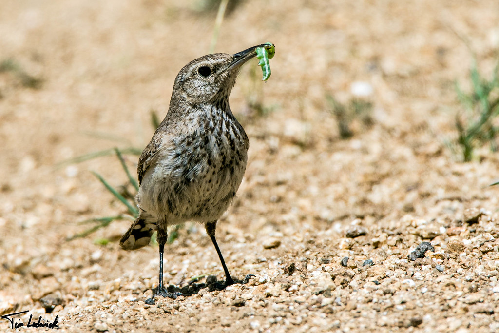
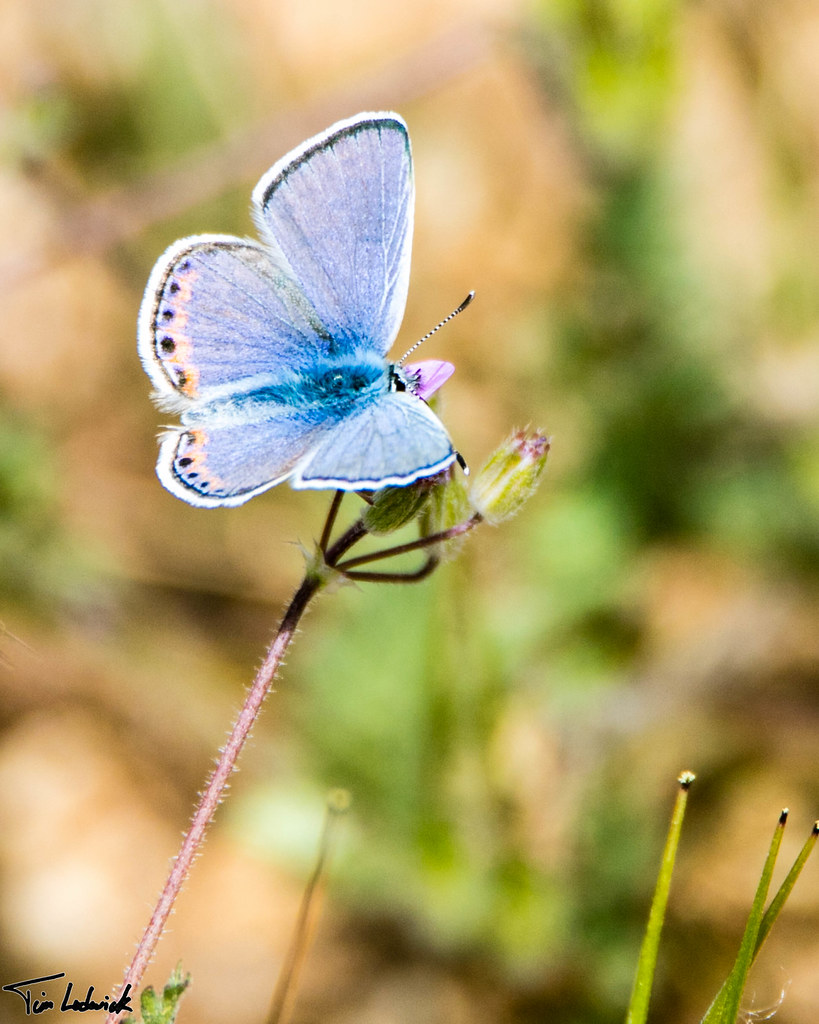
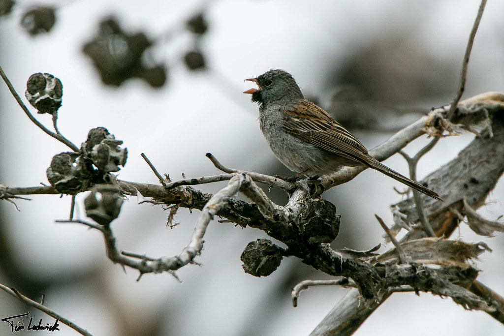
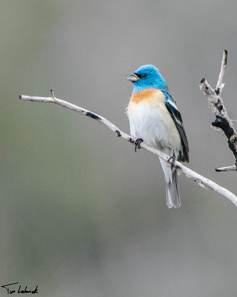
Fotos

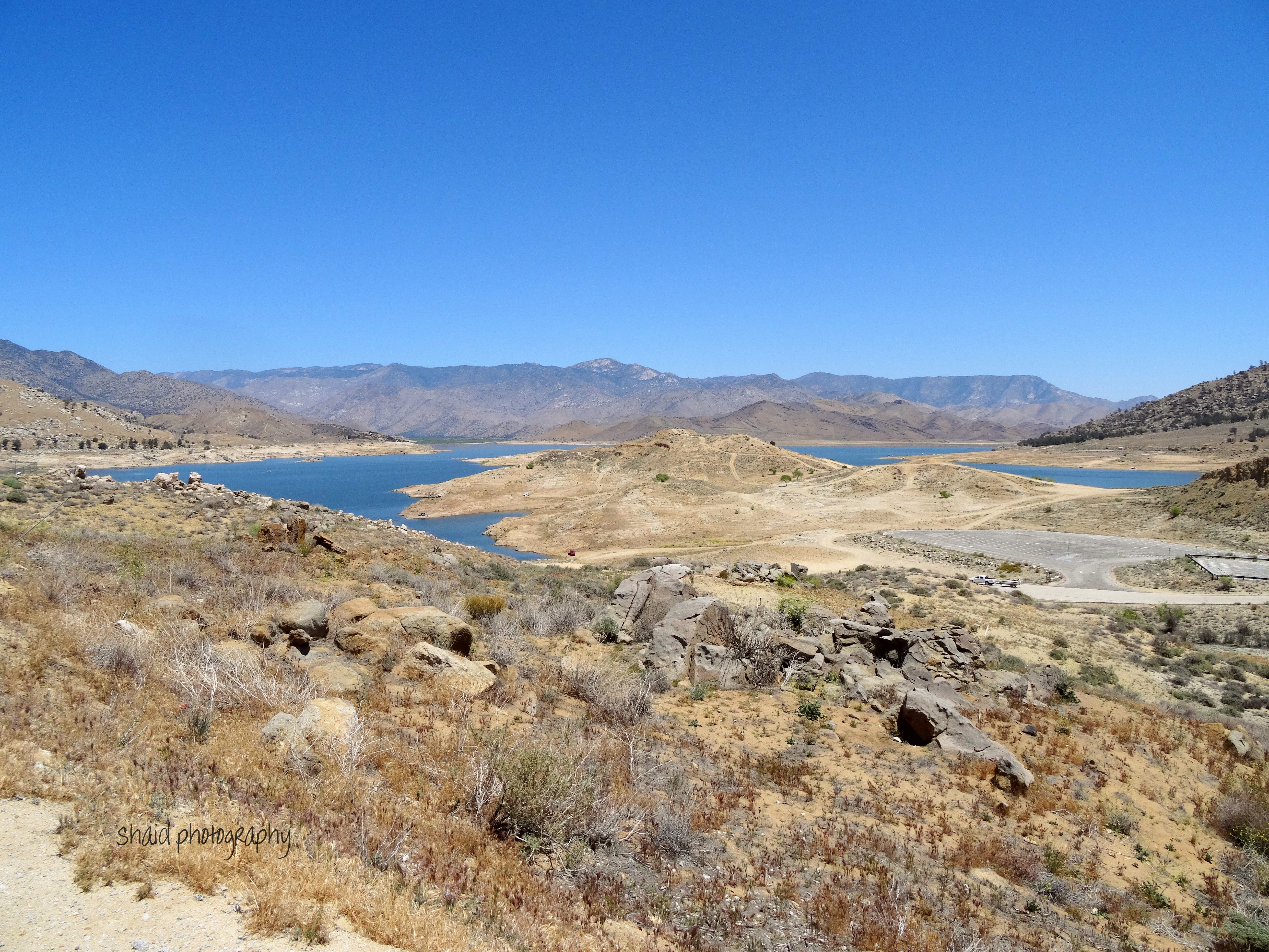
Camping at Lake Isabella
Lake Isabella Sunset

Lower Kern River
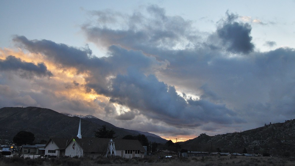
View north from Havilah
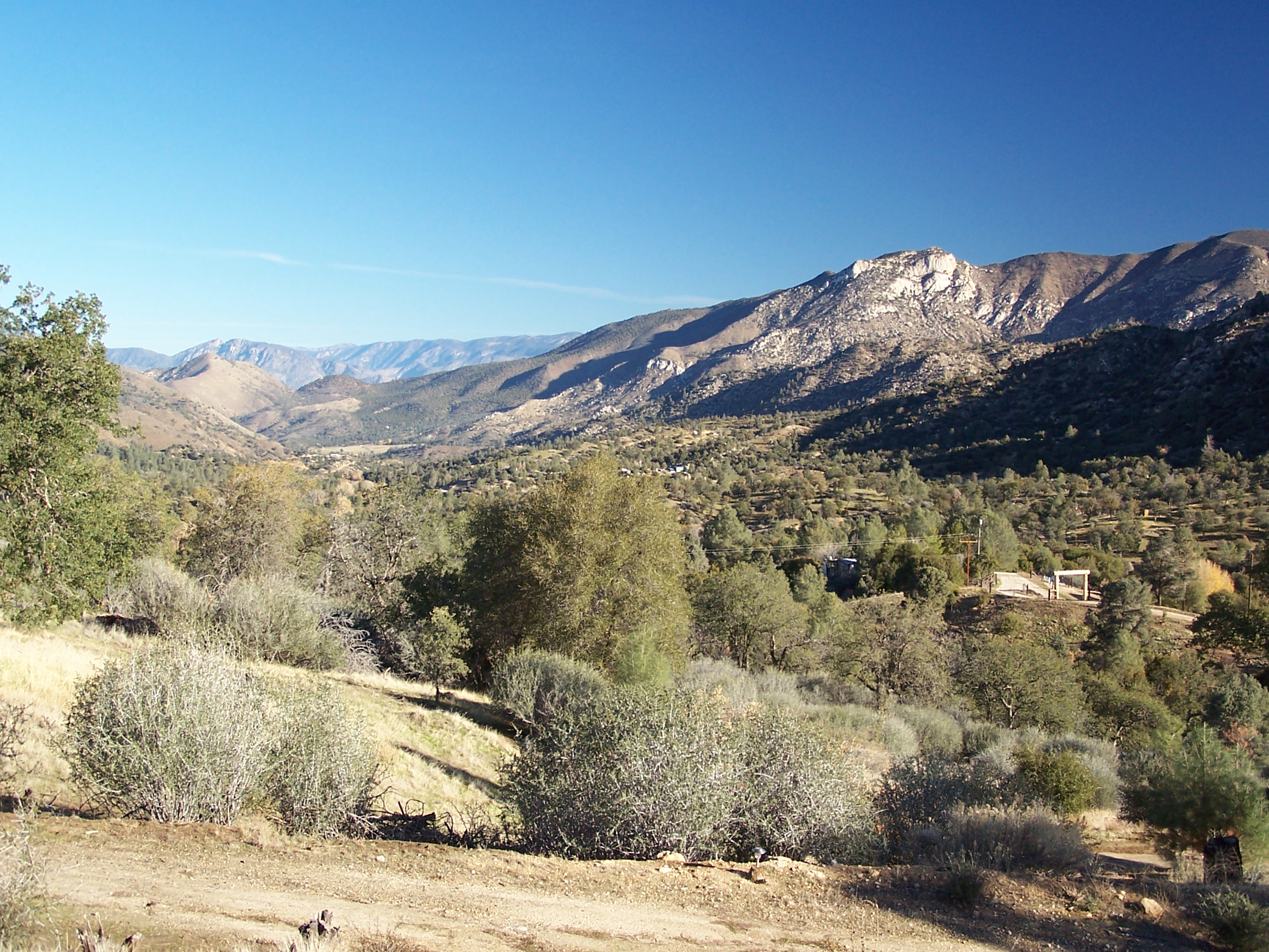
Rankin Vista View
view north from piute lookout
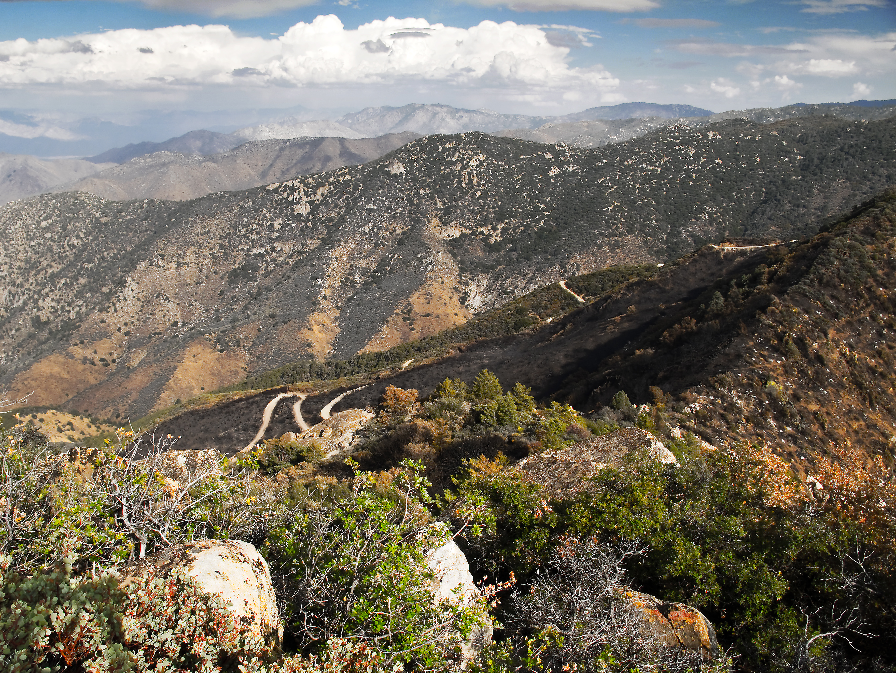
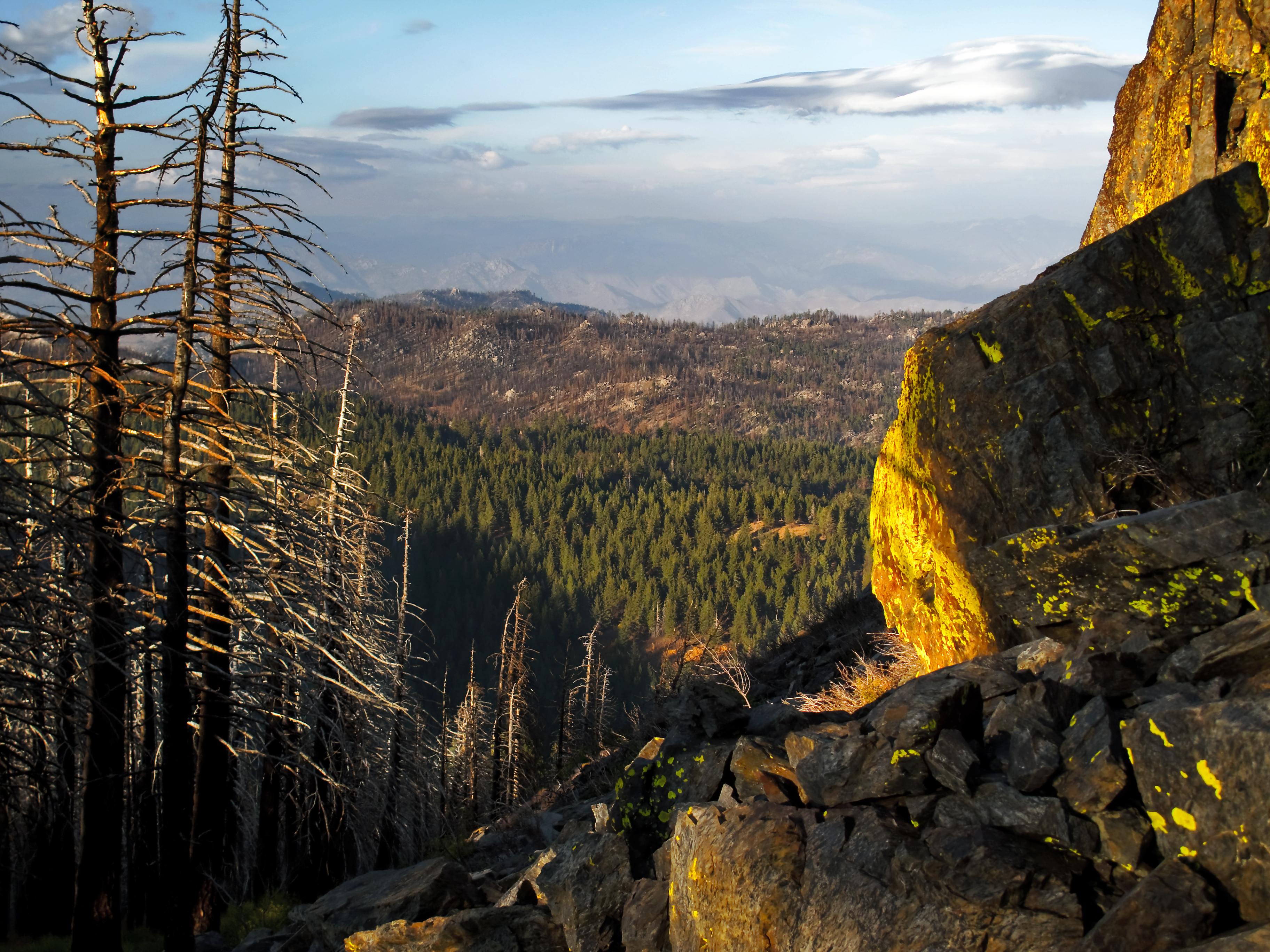
View southeast from Bald Eagle Peak
Rocky Blue

Lower Kern Canyon Wildflowers

920_1677.NEF

920_1678.NEF

920_1679.NEF

920_1681.NEF

920_1682.NEF

920_1683.NEF

920_1686.NEF

920_1687.NEF

920_1689.NEF

920_1690.NEF

920_1691.NEF

920_1693.NEF

920_1635.NEF

920_1637.NEF
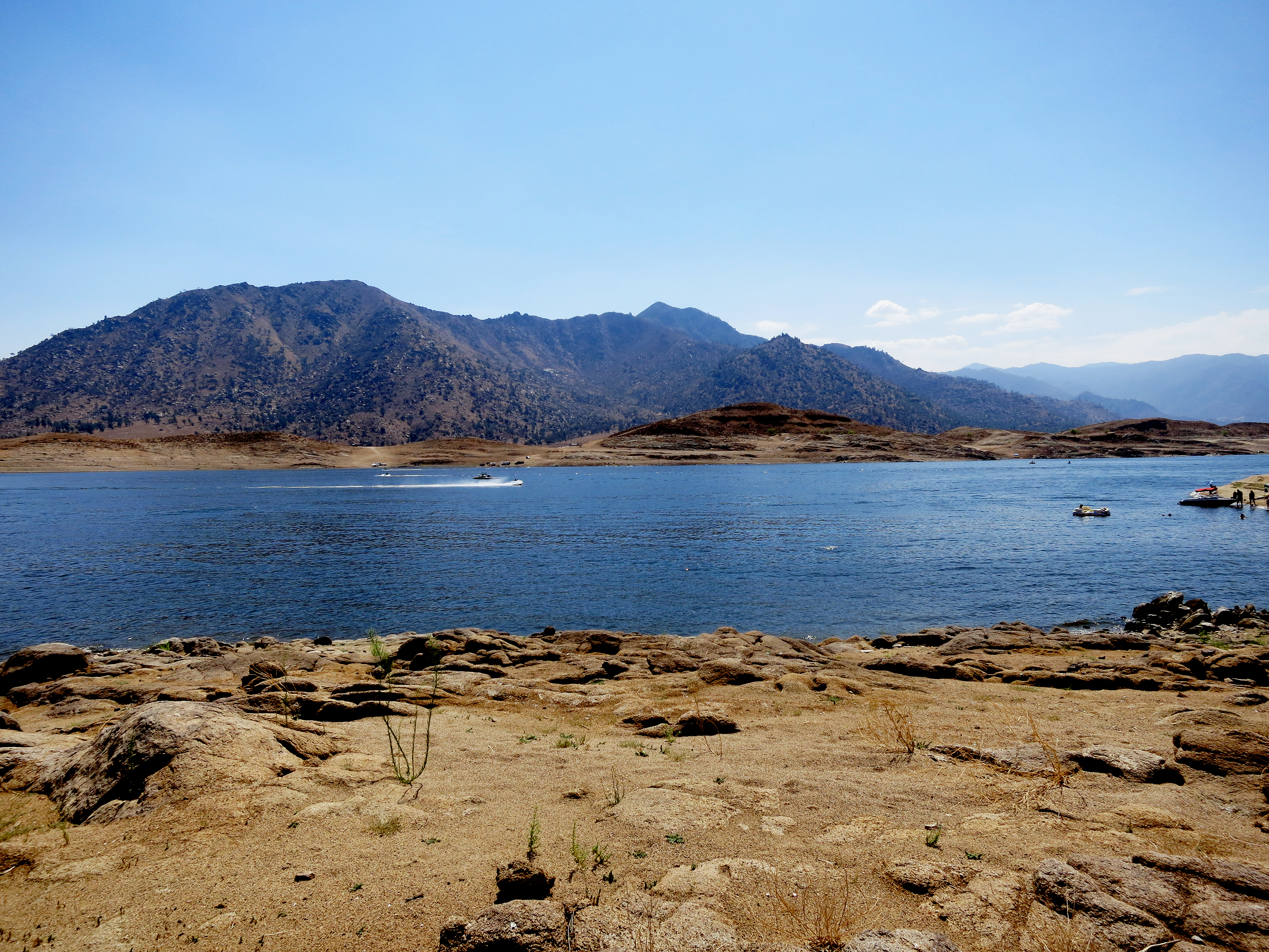
Lake Isabella, California
20160507_SaddleSpringsRd-85.jpg
20160507_SaddleSpringsRd-78.jpg
20160507_SaddleSpringsRd-77.jpg
20160507_SaddleSpringsRd-63.jpg
20160507_SaddleSpringsRd-58.jpg
Mapa de Havilah, CA, EE. UU.
Buscar otro lugar
Lugares cercanos
Caliente Bodfish Rd, Havilah, CA, EE. UU.
1 Gary St, Bodfish, CA, EE. UU.
Bodfish, California, EE. UU.
25 Elk Dr, Bodfish, CA, EE. UU.
Poplar Ln, Bodfish, CA, EE. UU.
Clara Dr, Bodfish, CA, EE. UU.
Bodfish Canyon Rd, Bodfish, CA, EE. UU.
63 N Alpine Way, Bodfish, CA, EE. UU.
Pine Tree Rd, Caliente, CA, EE. UU.
Rembach Ave, Bodfish, CA, EE. UU.
Laurel Dr, Bodfish, CA, EE. UU.
Fern Street, Fern St, Bodfish, CA, EE. UU.
Buckhorn Dr, Bodfish, CA, EE. UU.
9 Hollie Way, Bodfish, CA, EE. UU.
Breckenridge Mountain, California, EE. UU.
Schell Ranch Rd, Caliente, CA, EE. UU.
Kern Valley High School, Erskine Creek Rd, Lake Isabella, CA, EE. UU.
Keysville Rd, Lake Isabella, CA, EE. UU.
Lake Isabella, California, EE. UU.
Isabella Dam, Lake Isabella, CA, EE. UU.
Búsquedas recientes
- Horas de salida y puesta de sol de Ulitsa Kalinina, 79, Rezh, Sverdlovskaya oblast', Russia
- Horas de salida y puesta de sol de Leguwa, Nepal
- Horas de salida y puesta de sol de Shustino, Vladimir Oblast, Russia
- Horas de salida y puesta de sol de Lampiasi St, Sarasota, FL, EE. UU.
- Horas de salida y puesta de sol de Japón, 〒- Toyama, Kubomotomachi, 12−31 APAガーデンコート稲荷
- Horas de salida y puesta de sol de Jialuohu, Datong Township, Yilan County, Taiwán
- Horas de salida y puesta de sol de 大下港, Sekizenoge, Imabari, Prefectura de Ehime -, Japón
- Horas de salida y puesta de sol de Oge port Ferry Terminal, -1 Sekizenōge, Imabari, Ehime -, Japón
- Horas de salida y puesta de sol de San Telmo, Cdad. Autónoma de Buenos Aires, Argentina
- Horas de salida y puesta de sol de Congressional Dr, Stevensville, MD, EE. UU.