Horas de salida y puesta de sol de Eastover, Carolina del Sur, EE. UU.
Location: Estados Unidos > Carolina del Sur > Condado de Richland >
Zona horaria:
America/New_York
Hora local:
2024-05-02 16:01:27
Longitud:
-80.6928654
Latitud:
33.876821
Salida de sol de hoy:
06:30:47 AM
Puesta de sol de hoy:
08:08:21 PM
La duración del día hoy:
13h 37m 34s
Salida de sol de mañana:
06:29:50 AM
Puesta de sol de mañana:
08:09:08 PM
La duración del día mañana:
13h 39m 18s
Mostrar todas las fechas
| Fecha | Salida de sol | Puesta de sol | Duración del día |
|---|---|---|---|
| 01/01/2024 | 07:27:55 AM | 05:25:09 PM | 9h 57m 14s |
| 02/01/2024 | 07:28:05 AM | 05:25:55 PM | 9h 57m 50s |
| 03/01/2024 | 07:28:13 AM | 05:26:42 PM | 9h 58m 29s |
| 04/01/2024 | 07:28:19 AM | 05:27:30 PM | 9h 59m 11s |
| 05/01/2024 | 07:28:24 AM | 05:28:19 PM | 9h 59m 55s |
| 06/01/2024 | 07:28:27 AM | 05:29:08 PM | 10h 0m 41s |
| 07/01/2024 | 07:28:28 AM | 05:29:59 PM | 10h 1m 31s |
| 08/01/2024 | 07:28:27 AM | 05:30:51 PM | 10h 2m 24s |
| 09/01/2024 | 07:28:24 AM | 05:31:43 PM | 10h 3m 19s |
| 10/01/2024 | 07:28:19 AM | 05:32:36 PM | 10h 4m 17s |
| 11/01/2024 | 07:28:13 AM | 05:33:30 PM | 10h 5m 17s |
| 12/01/2024 | 07:28:04 AM | 05:34:24 PM | 10h 6m 20s |
| 13/01/2024 | 07:27:54 AM | 05:35:19 PM | 10h 7m 25s |
| 14/01/2024 | 07:27:42 AM | 05:36:14 PM | 10h 8m 32s |
| 15/01/2024 | 07:27:28 AM | 05:37:10 PM | 10h 9m 42s |
| 16/01/2024 | 07:27:12 AM | 05:38:07 PM | 10h 10m 55s |
| 17/01/2024 | 07:26:55 AM | 05:39:04 PM | 10h 12m 9s |
| 18/01/2024 | 07:26:35 AM | 05:40:01 PM | 10h 13m 26s |
| 19/01/2024 | 07:26:14 AM | 05:40:59 PM | 10h 14m 45s |
| 20/01/2024 | 07:25:51 AM | 05:41:57 PM | 10h 16m 6s |
| 21/01/2024 | 07:25:26 AM | 05:42:55 PM | 10h 17m 29s |
| 22/01/2024 | 07:25:00 AM | 05:43:53 PM | 10h 18m 53s |
| 23/01/2024 | 07:24:32 AM | 05:44:52 PM | 10h 20m 20s |
| 24/01/2024 | 07:24:02 AM | 05:45:51 PM | 10h 21m 49s |
| 25/01/2024 | 07:23:30 AM | 05:46:50 PM | 10h 23m 20s |
| 26/01/2024 | 07:22:57 AM | 05:47:49 PM | 10h 24m 52s |
| 27/01/2024 | 07:22:22 AM | 05:48:47 PM | 10h 26m 25s |
| 28/01/2024 | 07:21:45 AM | 05:49:46 PM | 10h 28m 1s |
| 29/01/2024 | 07:21:07 AM | 05:50:45 PM | 10h 29m 38s |
| 30/01/2024 | 07:20:27 AM | 05:51:44 PM | 10h 31m 17s |
| 31/01/2024 | 07:19:46 AM | 05:52:43 PM | 10h 32m 57s |
| 01/02/2024 | 07:19:03 AM | 05:53:42 PM | 10h 34m 39s |
| 02/02/2024 | 07:18:19 AM | 05:54:41 PM | 10h 36m 22s |
| 03/02/2024 | 07:17:33 AM | 05:55:39 PM | 10h 38m 6s |
| 04/02/2024 | 07:16:45 AM | 05:56:37 PM | 10h 39m 52s |
| 05/02/2024 | 07:15:57 AM | 05:57:36 PM | 10h 41m 39s |
| 06/02/2024 | 07:15:07 AM | 05:58:33 PM | 10h 43m 26s |
| 07/02/2024 | 07:14:15 AM | 05:59:31 PM | 10h 45m 16s |
| 08/02/2024 | 07:13:22 AM | 06:00:29 PM | 10h 47m 7s |
| 09/02/2024 | 07:12:28 AM | 06:01:26 PM | 10h 48m 58s |
| 10/02/2024 | 07:11:33 AM | 06:02:23 PM | 10h 50m 50s |
| 11/02/2024 | 07:10:36 AM | 06:03:19 PM | 10h 52m 43s |
| 12/02/2024 | 07:09:38 AM | 06:04:16 PM | 10h 54m 38s |
| 13/02/2024 | 07:08:39 AM | 06:05:12 PM | 10h 56m 33s |
| 14/02/2024 | 07:07:39 AM | 06:06:07 PM | 10h 58m 28s |
| 15/02/2024 | 07:06:37 AM | 06:07:03 PM | 11h 0m 26s |
| 16/02/2024 | 07:05:35 AM | 06:07:58 PM | 11h 2m 23s |
| 17/02/2024 | 07:04:31 AM | 06:08:53 PM | 11h 4m 22s |
| 18/02/2024 | 07:03:27 AM | 06:09:47 PM | 11h 6m 20s |
| 19/02/2024 | 07:02:21 AM | 06:10:41 PM | 11h 8m 20s |
| 20/02/2024 | 07:01:14 AM | 06:11:35 PM | 11h 10m 21s |
| 21/02/2024 | 07:00:07 AM | 06:12:28 PM | 11h 12m 21s |
| 22/02/2024 | 06:58:58 AM | 06:13:21 PM | 11h 14m 23s |
| 23/02/2024 | 06:57:49 AM | 06:14:14 PM | 11h 16m 25s |
| 24/02/2024 | 06:56:39 AM | 06:15:06 PM | 11h 18m 27s |
| 25/02/2024 | 06:55:28 AM | 06:15:58 PM | 11h 20m 30s |
| 26/02/2024 | 06:54:16 AM | 06:16:49 PM | 11h 22m 33s |
| 27/02/2024 | 06:53:04 AM | 06:17:41 PM | 11h 24m 37s |
| 28/02/2024 | 06:51:50 AM | 06:18:32 PM | 11h 26m 42s |
| 29/02/2024 | 06:50:37 AM | 06:19:22 PM | 11h 28m 45s |
| 01/03/2024 | 06:49:22 AM | 06:20:13 PM | 11h 30m 51s |
| 02/03/2024 | 06:48:07 AM | 06:21:03 PM | 11h 32m 56s |
| 03/03/2024 | 06:46:51 AM | 06:21:52 PM | 11h 35m 1s |
| 04/03/2024 | 06:45:34 AM | 06:22:42 PM | 11h 37m 8s |
| 05/03/2024 | 06:44:17 AM | 06:23:31 PM | 11h 39m 14s |
| 06/03/2024 | 06:43:00 AM | 06:24:19 PM | 11h 41m 19s |
| 07/03/2024 | 06:41:42 AM | 06:25:08 PM | 11h 43m 26s |
| 08/03/2024 | 06:40:24 AM | 06:25:56 PM | 11h 45m 32s |
| 09/03/2024 | 06:39:05 AM | 06:26:44 PM | 11h 47m 39s |
| 10/03/2024 | 07:37:49 AM | 07:27:30 PM | 11h 49m 41s |
| 11/03/2024 | 07:36:29 AM | 07:28:17 PM | 11h 51m 48s |
| 12/03/2024 | 07:35:09 AM | 07:29:04 PM | 11h 53m 55s |
| 13/03/2024 | 07:33:49 AM | 07:29:51 PM | 11h 56m 2s |
| 14/03/2024 | 07:32:29 AM | 07:30:38 PM | 11h 58m 9s |
| 15/03/2024 | 07:31:08 AM | 07:31:25 PM | 12h 0m 17s |
| 16/03/2024 | 07:29:47 AM | 07:32:11 PM | 12h 2m 24s |
| 17/03/2024 | 07:28:26 AM | 07:32:58 PM | 12h 4m 32s |
| 18/03/2024 | 07:27:05 AM | 07:33:44 PM | 12h 6m 39s |
| 19/03/2024 | 07:25:43 AM | 07:34:30 PM | 12h 8m 47s |
| 20/03/2024 | 07:24:22 AM | 07:35:16 PM | 12h 10m 54s |
| 21/03/2024 | 07:23:00 AM | 07:36:01 PM | 12h 13m 1s |
| 22/03/2024 | 07:21:39 AM | 07:36:47 PM | 12h 15m 8s |
| 23/03/2024 | 07:20:17 AM | 07:37:32 PM | 12h 17m 15s |
| 24/03/2024 | 07:18:56 AM | 07:38:18 PM | 12h 19m 22s |
| 25/03/2024 | 07:17:34 AM | 07:39:03 PM | 12h 21m 29s |
| 26/03/2024 | 07:16:13 AM | 07:39:48 PM | 12h 23m 35s |
| 27/03/2024 | 07:14:51 AM | 07:40:33 PM | 12h 25m 42s |
| 28/03/2024 | 07:13:30 AM | 07:41:18 PM | 12h 27m 48s |
| 29/03/2024 | 07:12:09 AM | 07:42:04 PM | 12h 29m 55s |
| 30/03/2024 | 07:10:48 AM | 07:42:49 PM | 12h 32m 1s |
| 31/03/2024 | 07:09:28 AM | 07:43:34 PM | 12h 34m 6s |
| 01/04/2024 | 07:08:07 AM | 07:44:19 PM | 12h 36m 12s |
| 02/04/2024 | 07:06:47 AM | 07:45:04 PM | 12h 38m 17s |
| 03/04/2024 | 07:05:27 AM | 07:45:49 PM | 12h 40m 22s |
| 04/04/2024 | 07:04:08 AM | 07:46:34 PM | 12h 42m 26s |
| 05/04/2024 | 07:02:49 AM | 07:47:19 PM | 12h 44m 30s |
| 06/04/2024 | 07:01:30 AM | 07:48:04 PM | 12h 46m 34s |
| 07/04/2024 | 07:00:12 AM | 07:48:49 PM | 12h 48m 37s |
| 08/04/2024 | 06:58:54 AM | 07:49:34 PM | 12h 50m 40s |
| 09/04/2024 | 06:57:37 AM | 07:50:20 PM | 12h 52m 43s |
| 10/04/2024 | 06:56:20 AM | 07:51:05 PM | 12h 54m 45s |
| 11/04/2024 | 06:55:04 AM | 07:51:50 PM | 12h 56m 46s |
| 12/04/2024 | 06:53:48 AM | 07:52:36 PM | 12h 58m 48s |
| 13/04/2024 | 06:52:33 AM | 07:53:21 PM | 13h 0m 48s |
| 14/04/2024 | 06:51:18 AM | 07:54:07 PM | 13h 2m 49s |
| 15/04/2024 | 06:50:04 AM | 07:54:52 PM | 13h 4m 48s |
| 16/04/2024 | 06:48:51 AM | 07:55:38 PM | 13h 6m 47s |
| 17/04/2024 | 06:47:39 AM | 07:56:24 PM | 13h 8m 45s |
| 18/04/2024 | 06:46:27 AM | 07:57:10 PM | 13h 10m 43s |
| 19/04/2024 | 06:45:16 AM | 07:57:56 PM | 13h 12m 40s |
| 20/04/2024 | 06:44:06 AM | 07:58:42 PM | 13h 14m 36s |
| 21/04/2024 | 06:42:56 AM | 07:59:28 PM | 13h 16m 32s |
| 22/04/2024 | 06:41:48 AM | 08:00:14 PM | 13h 18m 26s |
| 23/04/2024 | 06:40:40 AM | 08:01:00 PM | 13h 20m 20s |
| 24/04/2024 | 06:39:34 AM | 08:01:47 PM | 13h 22m 13s |
| 25/04/2024 | 06:38:28 AM | 08:02:33 PM | 13h 24m 5s |
| 26/04/2024 | 06:37:23 AM | 08:03:19 PM | 13h 25m 56s |
| 27/04/2024 | 06:36:19 AM | 08:04:06 PM | 13h 27m 47s |
| 28/04/2024 | 06:35:16 AM | 08:04:52 PM | 13h 29m 36s |
| 29/04/2024 | 06:34:14 AM | 08:05:39 PM | 13h 31m 25s |
| 30/04/2024 | 06:33:14 AM | 08:06:25 PM | 13h 33m 11s |
| 01/05/2024 | 06:32:14 AM | 08:07:12 PM | 13h 34m 58s |
| 02/05/2024 | 06:31:15 AM | 08:07:58 PM | 13h 36m 43s |
| 03/05/2024 | 06:30:18 AM | 08:08:44 PM | 13h 38m 26s |
| 04/05/2024 | 06:29:22 AM | 08:09:31 PM | 13h 40m 9s |
| 05/05/2024 | 06:28:27 AM | 08:10:17 PM | 13h 41m 50s |
| 06/05/2024 | 06:27:33 AM | 08:11:03 PM | 13h 43m 30s |
| 07/05/2024 | 06:26:40 AM | 08:11:49 PM | 13h 45m 9s |
| 08/05/2024 | 06:25:49 AM | 08:12:35 PM | 13h 46m 46s |
| 09/05/2024 | 06:24:59 AM | 08:13:21 PM | 13h 48m 22s |
| 10/05/2024 | 06:24:10 AM | 08:14:07 PM | 13h 49m 57s |
| 11/05/2024 | 06:23:23 AM | 08:14:52 PM | 13h 51m 29s |
| 12/05/2024 | 06:22:37 AM | 08:15:38 PM | 13h 53m 1s |
| 13/05/2024 | 06:21:52 AM | 08:16:23 PM | 13h 54m 31s |
| 14/05/2024 | 06:21:09 AM | 08:17:07 PM | 13h 55m 58s |
| 15/05/2024 | 06:20:27 AM | 08:17:52 PM | 13h 57m 25s |
| 16/05/2024 | 06:19:46 AM | 08:18:36 PM | 13h 58m 50s |
| 17/05/2024 | 06:19:07 AM | 08:19:20 PM | 14h 0m 13s |
| 18/05/2024 | 06:18:30 AM | 08:20:04 PM | 14h 1m 34s |
| 19/05/2024 | 06:17:53 AM | 08:20:47 PM | 14h 2m 54s |
| 20/05/2024 | 06:17:19 AM | 08:21:29 PM | 14h 4m 10s |
| 21/05/2024 | 06:16:46 AM | 08:22:12 PM | 14h 5m 26s |
| 22/05/2024 | 06:16:14 AM | 08:22:53 PM | 14h 6m 39s |
| 23/05/2024 | 06:15:44 AM | 08:23:35 PM | 14h 7m 51s |
| 24/05/2024 | 06:15:16 AM | 08:24:15 PM | 14h 8m 59s |
| 25/05/2024 | 06:14:49 AM | 08:24:55 PM | 14h 10m 6s |
| 26/05/2024 | 06:14:23 AM | 08:25:35 PM | 14h 11m 12s |
| 27/05/2024 | 06:14:00 AM | 08:26:14 PM | 14h 12m 14s |
| 28/05/2024 | 06:13:37 AM | 08:26:52 PM | 14h 13m 15s |
| 29/05/2024 | 06:13:17 AM | 08:27:29 PM | 14h 14m 12s |
| 30/05/2024 | 06:12:58 AM | 08:28:06 PM | 14h 15m 8s |
| 31/05/2024 | 06:12:40 AM | 08:28:42 PM | 14h 16m 2s |
| 01/06/2024 | 06:12:25 AM | 08:29:17 PM | 14h 16m 52s |
| 02/06/2024 | 06:12:10 AM | 08:29:51 PM | 14h 17m 41s |
| 03/06/2024 | 06:11:58 AM | 08:30:24 PM | 14h 18m 26s |
| 04/06/2024 | 06:11:47 AM | 08:30:56 PM | 14h 19m 9s |
| 05/06/2024 | 06:11:37 AM | 08:31:28 PM | 14h 19m 51s |
| 06/06/2024 | 06:11:29 AM | 08:31:58 PM | 14h 20m 29s |
| 07/06/2024 | 06:11:23 AM | 08:32:28 PM | 14h 21m 5s |
| 08/06/2024 | 06:11:18 AM | 08:32:56 PM | 14h 21m 38s |
| 09/06/2024 | 06:11:15 AM | 08:33:23 PM | 14h 22m 8s |
| 10/06/2024 | 06:11:14 AM | 08:33:49 PM | 14h 22m 35s |
| 11/06/2024 | 06:11:14 AM | 08:34:14 PM | 14h 23m 0s |
| 12/06/2024 | 06:11:15 AM | 08:34:38 PM | 14h 23m 23s |
| 13/06/2024 | 06:11:18 AM | 08:35:00 PM | 14h 23m 42s |
| 14/06/2024 | 06:11:23 AM | 08:35:21 PM | 14h 23m 58s |
| 15/06/2024 | 06:11:29 AM | 08:35:41 PM | 14h 24m 12s |
| 16/06/2024 | 06:11:36 AM | 08:36:00 PM | 14h 24m 24s |
| 17/06/2024 | 06:11:45 AM | 08:36:17 PM | 14h 24m 32s |
| 18/06/2024 | 06:11:55 AM | 08:36:33 PM | 14h 24m 38s |
| 19/06/2024 | 06:12:07 AM | 08:36:47 PM | 14h 24m 40s |
| 20/06/2024 | 06:12:20 AM | 08:37:00 PM | 14h 24m 40s |
| 21/06/2024 | 06:12:35 AM | 08:37:12 PM | 14h 24m 37s |
| 22/06/2024 | 06:12:50 AM | 08:37:22 PM | 14h 24m 32s |
| 23/06/2024 | 06:13:08 AM | 08:37:30 PM | 14h 24m 22s |
| 24/06/2024 | 06:13:26 AM | 08:37:37 PM | 14h 24m 11s |
| 25/06/2024 | 06:13:46 AM | 08:37:43 PM | 14h 23m 57s |
| 26/06/2024 | 06:14:06 AM | 08:37:47 PM | 14h 23m 41s |
| 27/06/2024 | 06:14:28 AM | 08:37:50 PM | 14h 23m 22s |
| 28/06/2024 | 06:14:52 AM | 08:37:50 PM | 14h 22m 58s |
| 29/06/2024 | 06:15:16 AM | 08:37:50 PM | 14h 22m 34s |
| 30/06/2024 | 06:15:41 AM | 08:37:48 PM | 14h 22m 7s |
| 01/07/2024 | 06:16:08 AM | 08:37:44 PM | 14h 21m 36s |
| 02/07/2024 | 06:16:35 AM | 08:37:38 PM | 14h 21m 3s |
| 03/07/2024 | 06:17:04 AM | 08:37:31 PM | 14h 20m 27s |
| 04/07/2024 | 06:17:33 AM | 08:37:22 PM | 14h 19m 49s |
| 05/07/2024 | 06:18:04 AM | 08:37:12 PM | 14h 19m 8s |
| 06/07/2024 | 06:18:35 AM | 08:37:00 PM | 14h 18m 25s |
| 07/07/2024 | 06:19:07 AM | 08:36:46 PM | 14h 17m 39s |
| 08/07/2024 | 06:19:40 AM | 08:36:31 PM | 14h 16m 51s |
| 09/07/2024 | 06:20:14 AM | 08:36:14 PM | 14h 16m 0s |
| 10/07/2024 | 06:20:48 AM | 08:35:55 PM | 14h 15m 7s |
| 11/07/2024 | 06:21:23 AM | 08:35:35 PM | 14h 14m 12s |
| 12/07/2024 | 06:21:59 AM | 08:35:13 PM | 14h 13m 14s |
| 13/07/2024 | 06:22:36 AM | 08:34:50 PM | 14h 12m 14s |
| 14/07/2024 | 06:23:13 AM | 08:34:25 PM | 14h 11m 12s |
| 15/07/2024 | 06:23:51 AM | 08:33:58 PM | 14h 10m 7s |
| 16/07/2024 | 06:24:29 AM | 08:33:30 PM | 14h 9m 1s |
| 17/07/2024 | 06:25:08 AM | 08:33:00 PM | 14h 7m 52s |
| 18/07/2024 | 06:25:47 AM | 08:32:29 PM | 14h 6m 42s |
| 19/07/2024 | 06:26:27 AM | 08:31:56 PM | 14h 5m 29s |
| 20/07/2024 | 06:27:07 AM | 08:31:21 PM | 14h 4m 14s |
| 21/07/2024 | 06:27:47 AM | 08:30:45 PM | 14h 2m 58s |
| 22/07/2024 | 06:28:28 AM | 08:30:08 PM | 14h 1m 40s |
| 23/07/2024 | 06:29:09 AM | 08:29:28 PM | 14h 0m 19s |
| 24/07/2024 | 06:29:51 AM | 08:28:48 PM | 13h 58m 57s |
| 25/07/2024 | 06:30:33 AM | 08:28:06 PM | 13h 57m 33s |
| 26/07/2024 | 06:31:15 AM | 08:27:22 PM | 13h 56m 7s |
| 27/07/2024 | 06:31:57 AM | 08:26:37 PM | 13h 54m 40s |
| 28/07/2024 | 06:32:39 AM | 08:25:51 PM | 13h 53m 12s |
| 29/07/2024 | 06:33:22 AM | 08:25:03 PM | 13h 51m 41s |
| 30/07/2024 | 06:34:05 AM | 08:24:14 PM | 13h 50m 9s |
| 31/07/2024 | 06:34:48 AM | 08:23:24 PM | 13h 48m 36s |
| 01/08/2024 | 06:35:31 AM | 08:22:32 PM | 13h 47m 1s |
| 02/08/2024 | 06:36:14 AM | 08:21:39 PM | 13h 45m 25s |
| 03/08/2024 | 06:36:57 AM | 08:20:45 PM | 13h 43m 48s |
| 04/08/2024 | 06:37:40 AM | 08:19:49 PM | 13h 42m 9s |
| 05/08/2024 | 06:38:23 AM | 08:18:53 PM | 13h 40m 30s |
| 06/08/2024 | 06:39:07 AM | 08:17:55 PM | 13h 38m 48s |
| 07/08/2024 | 06:39:50 AM | 08:16:55 PM | 13h 37m 5s |
| 08/08/2024 | 06:40:33 AM | 08:15:55 PM | 13h 35m 22s |
| 09/08/2024 | 06:41:16 AM | 08:14:54 PM | 13h 33m 38s |
| 10/08/2024 | 06:41:59 AM | 08:13:51 PM | 13h 31m 52s |
| 11/08/2024 | 06:42:43 AM | 08:12:48 PM | 13h 30m 5s |
| 12/08/2024 | 06:43:26 AM | 08:11:43 PM | 13h 28m 17s |
| 13/08/2024 | 06:44:09 AM | 08:10:37 PM | 13h 26m 28s |
| 14/08/2024 | 06:44:52 AM | 08:09:31 PM | 13h 24m 39s |
| 15/08/2024 | 06:45:34 AM | 08:08:23 PM | 13h 22m 49s |
| 16/08/2024 | 06:46:17 AM | 08:07:14 PM | 13h 20m 57s |
| 17/08/2024 | 06:47:00 AM | 08:06:05 PM | 13h 19m 5s |
| 18/08/2024 | 06:47:42 AM | 08:04:55 PM | 13h 17m 13s |
| 19/08/2024 | 06:48:25 AM | 08:03:43 PM | 13h 15m 18s |
| 20/08/2024 | 06:49:07 AM | 08:02:31 PM | 13h 13m 24s |
| 21/08/2024 | 06:49:49 AM | 08:01:18 PM | 13h 11m 29s |
| 22/08/2024 | 06:50:31 AM | 08:00:05 PM | 13h 9m 34s |
| 23/08/2024 | 06:51:13 AM | 07:58:50 PM | 13h 7m 37s |
| 24/08/2024 | 06:51:55 AM | 07:57:35 PM | 13h 5m 40s |
| 25/08/2024 | 06:52:37 AM | 07:56:19 PM | 13h 3m 42s |
| 26/08/2024 | 06:53:19 AM | 07:55:03 PM | 13h 1m 44s |
| 27/08/2024 | 06:54:00 AM | 07:53:46 PM | 12h 59m 46s |
| 28/08/2024 | 06:54:42 AM | 07:52:28 PM | 12h 57m 46s |
| 29/08/2024 | 06:55:23 AM | 07:51:10 PM | 12h 55m 47s |
| 30/08/2024 | 06:56:05 AM | 07:49:51 PM | 12h 53m 46s |
| 31/08/2024 | 06:56:46 AM | 07:48:32 PM | 12h 51m 46s |
| 01/09/2024 | 06:57:27 AM | 07:47:12 PM | 12h 49m 45s |
| 02/09/2024 | 06:58:08 AM | 07:45:51 PM | 12h 47m 43s |
| 03/09/2024 | 06:58:49 AM | 07:44:31 PM | 12h 45m 42s |
| 04/09/2024 | 06:59:30 AM | 07:43:10 PM | 12h 43m 40s |
| 05/09/2024 | 07:00:11 AM | 07:41:48 PM | 12h 41m 37s |
| 06/09/2024 | 07:00:52 AM | 07:40:26 PM | 12h 39m 34s |
| 07/09/2024 | 07:01:33 AM | 07:39:04 PM | 12h 37m 31s |
| 08/09/2024 | 07:02:13 AM | 07:37:41 PM | 12h 35m 28s |
| 09/09/2024 | 07:02:54 AM | 07:36:18 PM | 12h 33m 24s |
| 10/09/2024 | 07:03:35 AM | 07:34:55 PM | 12h 31m 20s |
| 11/09/2024 | 07:04:16 AM | 07:33:32 PM | 12h 29m 16s |
| 12/09/2024 | 07:04:57 AM | 07:32:09 PM | 12h 27m 12s |
| 13/09/2024 | 07:05:38 AM | 07:30:45 PM | 12h 25m 7s |
| 14/09/2024 | 07:06:18 AM | 07:29:21 PM | 12h 23m 3s |
| 15/09/2024 | 07:06:59 AM | 07:27:58 PM | 12h 20m 59s |
| 16/09/2024 | 07:07:40 AM | 07:26:34 PM | 12h 18m 54s |
| 17/09/2024 | 07:08:22 AM | 07:25:10 PM | 12h 16m 48s |
| 18/09/2024 | 07:09:03 AM | 07:23:46 PM | 12h 14m 43s |
| 19/09/2024 | 07:09:44 AM | 07:22:22 PM | 12h 12m 38s |
| 20/09/2024 | 07:10:25 AM | 07:20:58 PM | 12h 10m 33s |
| 21/09/2024 | 07:11:07 AM | 07:19:34 PM | 12h 8m 27s |
| 22/09/2024 | 07:11:49 AM | 07:18:10 PM | 12h 6m 21s |
| 23/09/2024 | 07:12:30 AM | 07:16:47 PM | 12h 4m 17s |
| 24/09/2024 | 07:13:12 AM | 07:15:23 PM | 12h 2m 11s |
| 25/09/2024 | 07:13:54 AM | 07:14:00 PM | 12h 0m 6s |
| 26/09/2024 | 07:14:37 AM | 07:12:37 PM | 11h 58m 0s |
| 27/09/2024 | 07:15:19 AM | 07:11:14 PM | 11h 55m 55s |
| 28/09/2024 | 07:16:02 AM | 07:09:51 PM | 11h 53m 49s |
| 29/09/2024 | 07:16:45 AM | 07:08:29 PM | 11h 51m 44s |
| 30/09/2024 | 07:17:28 AM | 07:07:07 PM | 11h 49m 39s |
| 01/10/2024 | 07:18:12 AM | 07:05:46 PM | 11h 47m 34s |
| 02/10/2024 | 07:18:55 AM | 07:04:24 PM | 11h 45m 29s |
| 03/10/2024 | 07:19:39 AM | 07:03:04 PM | 11h 43m 25s |
| 04/10/2024 | 07:20:23 AM | 07:01:43 PM | 11h 41m 20s |
| 05/10/2024 | 07:21:08 AM | 07:00:23 PM | 11h 39m 15s |
| 06/10/2024 | 07:21:53 AM | 06:59:04 PM | 11h 37m 11s |
| 07/10/2024 | 07:22:38 AM | 06:57:45 PM | 11h 35m 7s |
| 08/10/2024 | 07:23:23 AM | 06:56:27 PM | 11h 33m 4s |
| 09/10/2024 | 07:24:09 AM | 06:55:09 PM | 11h 31m 0s |
| 10/10/2024 | 07:24:55 AM | 06:53:52 PM | 11h 28m 57s |
| 11/10/2024 | 07:25:42 AM | 06:52:36 PM | 11h 26m 54s |
| 12/10/2024 | 07:26:28 AM | 06:51:20 PM | 11h 24m 52s |
| 13/10/2024 | 07:27:15 AM | 06:50:05 PM | 11h 22m 50s |
| 14/10/2024 | 07:28:03 AM | 06:48:51 PM | 11h 20m 48s |
| 15/10/2024 | 07:28:51 AM | 06:47:38 PM | 11h 18m 47s |
| 16/10/2024 | 07:29:39 AM | 06:46:25 PM | 11h 16m 46s |
| 17/10/2024 | 07:30:28 AM | 06:45:13 PM | 11h 14m 45s |
| 18/10/2024 | 07:31:16 AM | 06:44:03 PM | 11h 12m 47s |
| 19/10/2024 | 07:32:06 AM | 06:42:53 PM | 11h 10m 47s |
| 20/10/2024 | 07:32:56 AM | 06:41:43 PM | 11h 8m 47s |
| 21/10/2024 | 07:33:46 AM | 06:40:35 PM | 11h 6m 49s |
| 22/10/2024 | 07:34:36 AM | 06:39:28 PM | 11h 4m 52s |
| 23/10/2024 | 07:35:27 AM | 06:38:22 PM | 11h 2m 55s |
| 24/10/2024 | 07:36:18 AM | 06:37:17 PM | 11h 0m 59s |
| 25/10/2024 | 07:37:10 AM | 06:36:13 PM | 10h 59m 3s |
| 26/10/2024 | 07:38:02 AM | 06:35:10 PM | 10h 57m 8s |
| 27/10/2024 | 07:38:54 AM | 06:34:09 PM | 10h 55m 15s |
| 28/10/2024 | 07:39:46 AM | 06:33:08 PM | 10h 53m 22s |
| 29/10/2024 | 07:40:39 AM | 06:32:09 PM | 10h 51m 30s |
| 30/10/2024 | 07:41:33 AM | 06:31:11 PM | 10h 49m 38s |
| 31/10/2024 | 07:42:26 AM | 06:30:14 PM | 10h 47m 48s |
| 01/11/2024 | 07:43:20 AM | 06:29:18 PM | 10h 45m 58s |
| 02/11/2024 | 07:44:14 AM | 06:28:24 PM | 10h 44m 10s |
| 03/11/2024 | 06:45:11 AM | 05:27:29 PM | 10h 42m 18s |
| 04/11/2024 | 06:46:06 AM | 05:26:38 PM | 10h 40m 32s |
| 05/11/2024 | 06:47:01 AM | 05:25:48 PM | 10h 38m 47s |
| 06/11/2024 | 06:47:56 AM | 05:25:00 PM | 10h 37m 4s |
| 07/11/2024 | 06:48:52 AM | 05:24:13 PM | 10h 35m 21s |
| 08/11/2024 | 06:49:47 AM | 05:23:27 PM | 10h 33m 40s |
| 09/11/2024 | 06:50:43 AM | 05:22:43 PM | 10h 32m 0s |
| 10/11/2024 | 06:51:39 AM | 05:22:01 PM | 10h 30m 22s |
| 11/11/2024 | 06:52:35 AM | 05:21:20 PM | 10h 28m 45s |
| 12/11/2024 | 06:53:31 AM | 05:20:41 PM | 10h 27m 10s |
| 13/11/2024 | 06:54:28 AM | 05:20:03 PM | 10h 25m 35s |
| 14/11/2024 | 06:55:24 AM | 05:19:27 PM | 10h 24m 3s |
| 15/11/2024 | 06:56:20 AM | 05:18:53 PM | 10h 22m 33s |
| 16/11/2024 | 06:57:16 AM | 05:18:20 PM | 10h 21m 4s |
| 17/11/2024 | 06:58:13 AM | 05:17:49 PM | 10h 19m 36s |
| 18/11/2024 | 06:59:09 AM | 05:17:20 PM | 10h 18m 11s |
| 19/11/2024 | 07:00:05 AM | 05:16:53 PM | 10h 16m 48s |
| 20/11/2024 | 07:01:00 AM | 05:16:27 PM | 10h 15m 27s |
| 21/11/2024 | 07:01:56 AM | 05:16:04 PM | 10h 14m 8s |
| 22/11/2024 | 07:02:51 AM | 05:15:42 PM | 10h 12m 51s |
| 23/11/2024 | 07:03:46 AM | 05:15:22 PM | 10h 11m 36s |
| 24/11/2024 | 07:04:41 AM | 05:15:03 PM | 10h 10m 22s |
| 25/11/2024 | 07:05:35 AM | 05:14:47 PM | 10h 9m 12s |
| 26/11/2024 | 07:06:29 AM | 05:14:32 PM | 10h 8m 3s |
| 27/11/2024 | 07:07:23 AM | 05:14:20 PM | 10h 6m 57s |
| 28/11/2024 | 07:08:16 AM | 05:14:09 PM | 10h 5m 53s |
| 29/11/2024 | 07:09:08 AM | 05:14:00 PM | 10h 4m 52s |
| 30/11/2024 | 07:10:00 AM | 05:13:53 PM | 10h 3m 53s |
| 01/12/2024 | 07:10:51 AM | 05:13:48 PM | 10h 2m 57s |
| 02/12/2024 | 07:11:42 AM | 05:13:45 PM | 10h 2m 3s |
| 03/12/2024 | 07:12:32 AM | 05:13:43 PM | 10h 1m 11s |
| 04/12/2024 | 07:13:21 AM | 05:13:44 PM | 10h 0m 23s |
| 05/12/2024 | 07:14:09 AM | 05:13:46 PM | 9h 59m 37s |
| 06/12/2024 | 07:14:56 AM | 05:13:51 PM | 9h 58m 55s |
| 07/12/2024 | 07:15:43 AM | 05:13:57 PM | 9h 58m 14s |
| 08/12/2024 | 07:16:28 AM | 05:14:05 PM | 9h 57m 37s |
| 09/12/2024 | 07:17:13 AM | 05:14:15 PM | 9h 57m 2s |
| 10/12/2024 | 07:17:56 AM | 05:14:27 PM | 9h 56m 31s |
| 11/12/2024 | 07:18:39 AM | 05:14:40 PM | 9h 56m 1s |
| 12/12/2024 | 07:19:20 AM | 05:14:56 PM | 9h 55m 36s |
| 13/12/2024 | 07:20:00 AM | 05:15:13 PM | 9h 55m 13s |
| 14/12/2024 | 07:20:38 AM | 05:15:32 PM | 9h 54m 54s |
| 15/12/2024 | 07:21:16 AM | 05:15:53 PM | 9h 54m 37s |
| 16/12/2024 | 07:21:52 AM | 05:16:15 PM | 9h 54m 23s |
| 17/12/2024 | 07:22:27 AM | 05:16:40 PM | 9h 54m 13s |
| 18/12/2024 | 07:23:00 AM | 05:17:06 PM | 9h 54m 6s |
| 19/12/2024 | 07:23:32 AM | 05:17:33 PM | 9h 54m 1s |
| 20/12/2024 | 07:24:03 AM | 05:18:02 PM | 9h 53m 59s |
| 21/12/2024 | 07:24:32 AM | 05:18:33 PM | 9h 54m 1s |
| 22/12/2024 | 07:24:59 AM | 05:19:05 PM | 9h 54m 6s |
| 23/12/2024 | 07:25:25 AM | 05:19:39 PM | 9h 54m 14s |
| 24/12/2024 | 07:25:49 AM | 05:20:14 PM | 9h 54m 25s |
| 25/12/2024 | 07:26:12 AM | 05:20:51 PM | 9h 54m 39s |
| 26/12/2024 | 07:26:33 AM | 05:21:29 PM | 9h 54m 56s |
| 27/12/2024 | 07:26:52 AM | 05:22:08 PM | 9h 55m 16s |
| 28/12/2024 | 07:27:10 AM | 05:22:49 PM | 9h 55m 39s |
| 29/12/2024 | 07:27:25 AM | 05:23:31 PM | 9h 56m 6s |
| 30/12/2024 | 07:27:40 AM | 05:24:14 PM | 9h 56m 34s |
Fotos
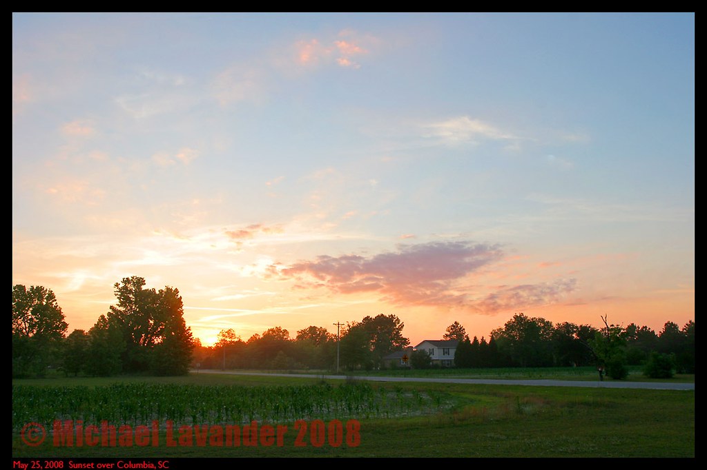
South Carolina Sunset

SCE&G Wateree Station
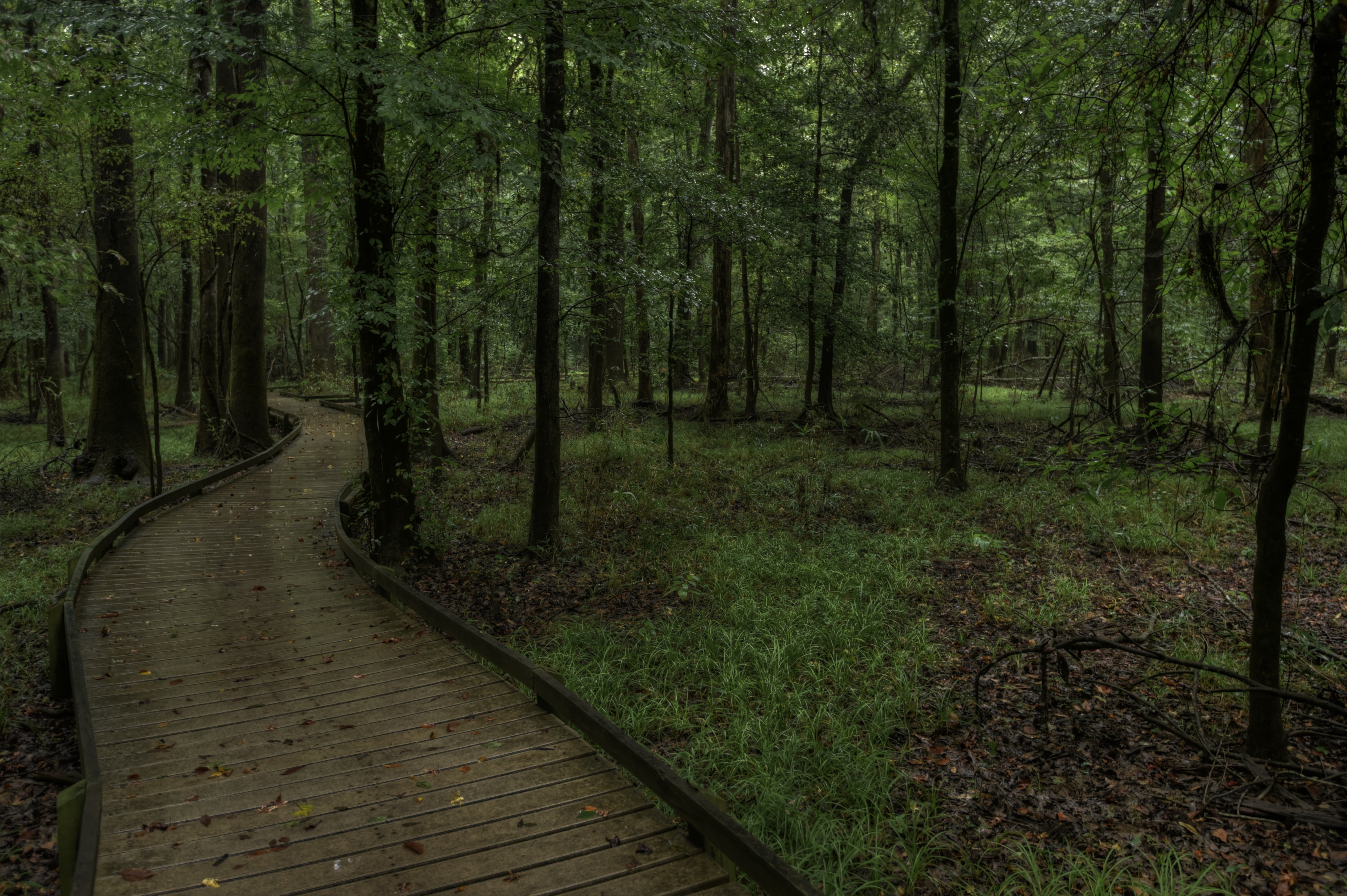
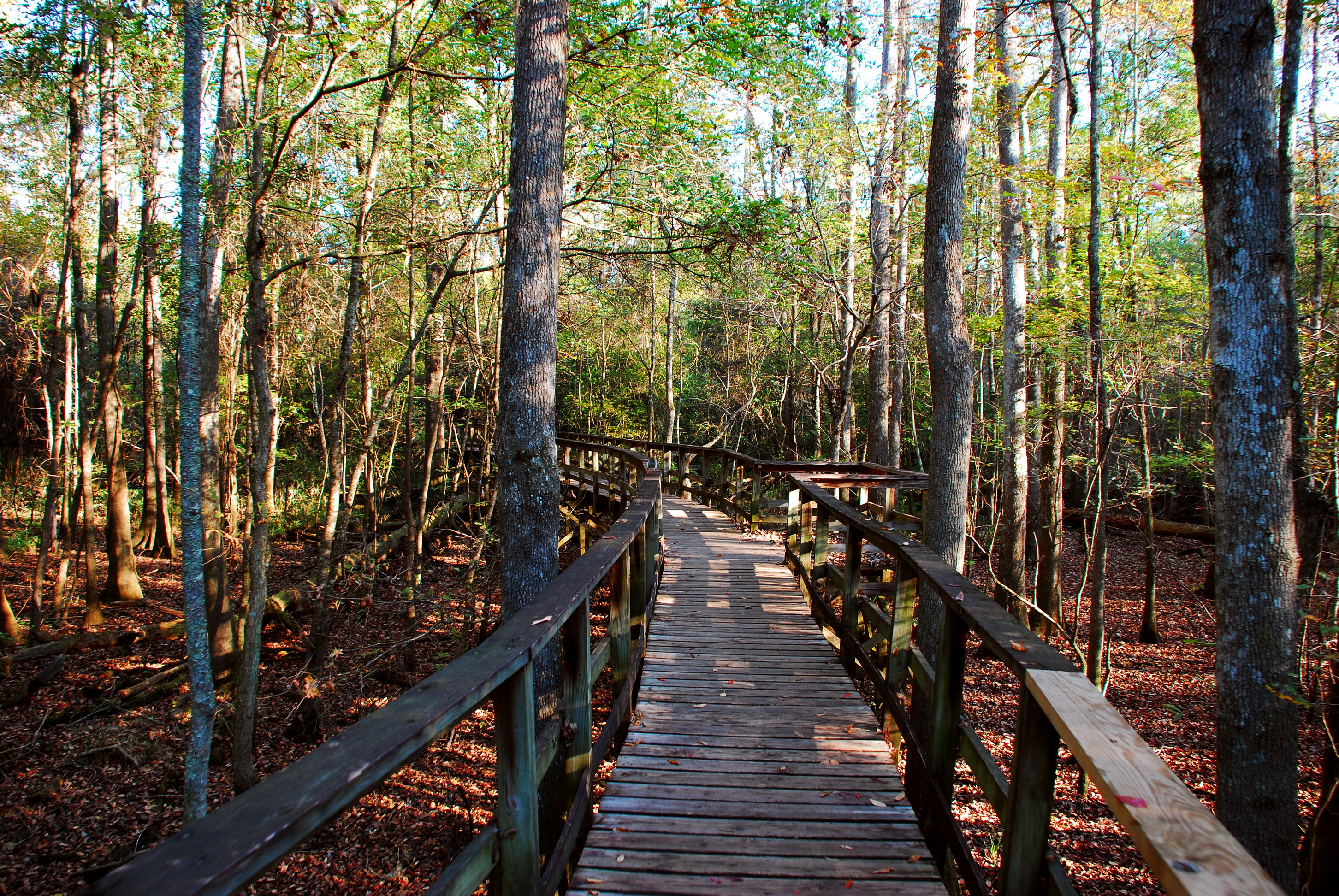
Boardwalk Trail, Congaree National Park HDR
TrackHead Studios - South Carolina

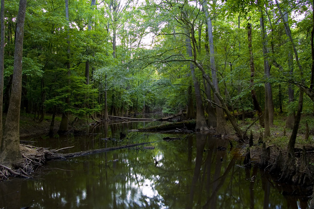
Congaree National Park 3
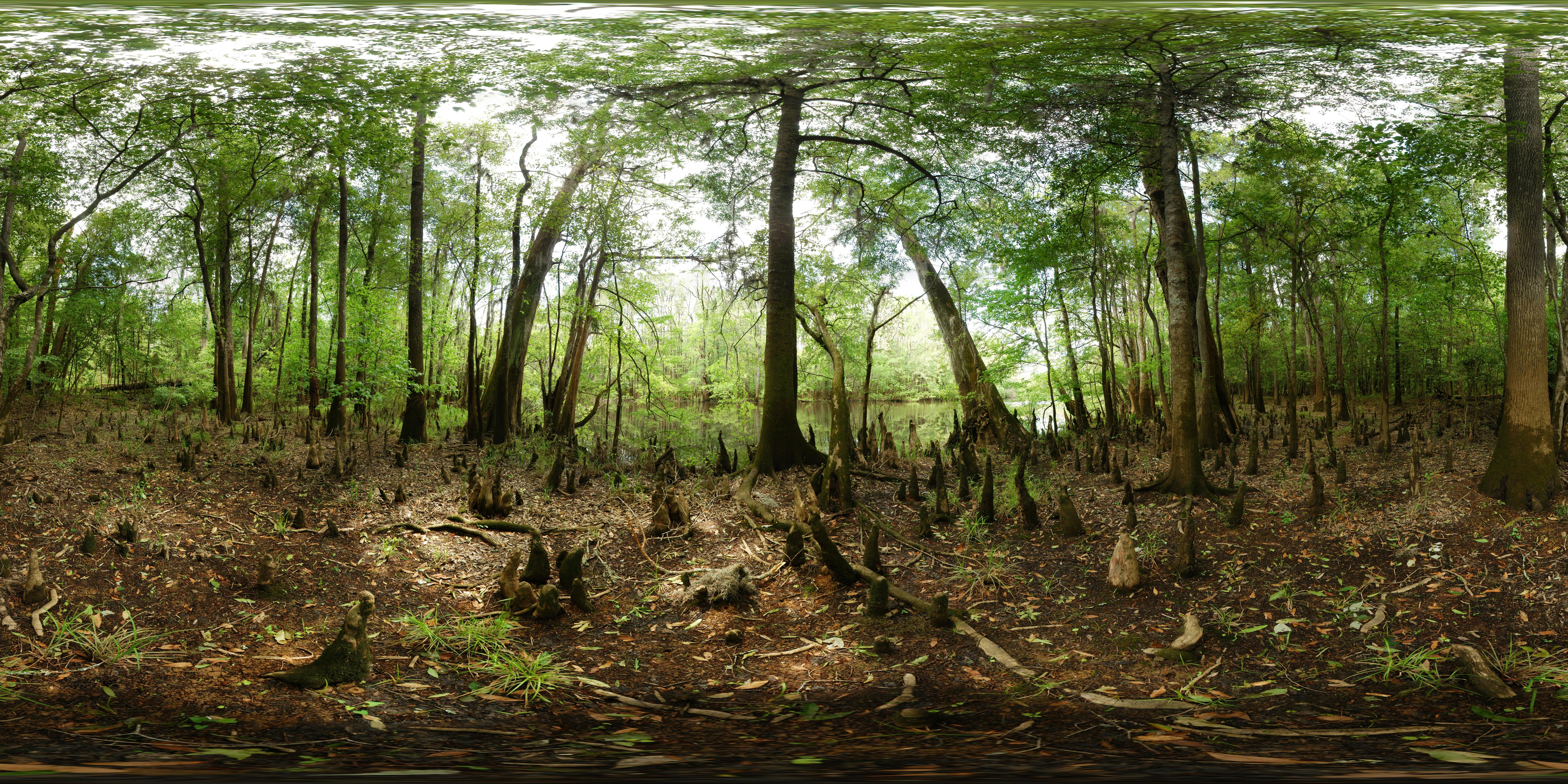
Congaree National Park - Weston lake - Full sphere (360° x 180°) panorama
Congaree National Park 2
At the education center
MVC-013F.JPG
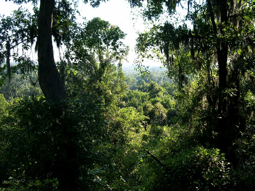
Congaree bluff view

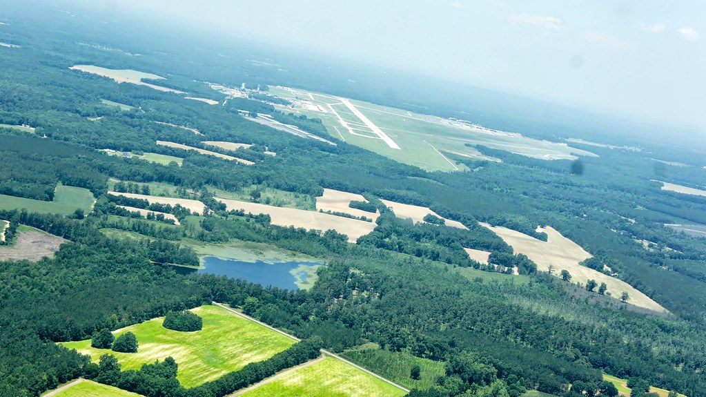
A view of Columbia, from 22 miles away.
Oakridge Trail-Congaree National Park
Mapa de Eastover, Carolina del Sur, EE. UU.
Buscar otro lugar
Lugares cercanos
Congaree Rd, Eastover, SC, EE. UU.
2 Rivers Rd, Eastover, SC, EE. UU.
R L Coward Rd, Hopkins, SC, EE. UU.
Bluff Road, Bluff Rd, South Carolina, EE. UU.
Fawn Dr, Hopkins, SC, EE. UU.
Claremont Rd, Sumter, SC, EE. UU.
Horrel Hill, SC, EE. UU.
8 Melrose Dr, Wedgefield, SC, EE. UU.
Wedgefield, Wedgewood, Carolina del Sur, EE. UU.
Wedgewood, Carolina del Sur, EE. UU.
Tillman Nursery Rd, Wedgefield, SC, EE. UU.
Hopkins, Carolina del Sur, EE. UU.
Manchester State Forest, South Carolina, EE. UU.
Lower Richland High School, Lower Richland Blvd, Hopkins, SC, EE. UU.
N Kings Hwy, Dalzell, SC, EE. UU.
Roost Rd, Hopkins, SC, EE. UU.
Rawlinson Rd, Columbia, SC, EE. UU.
Old Colony Rd, Columbia, SC, EE. UU.
8 Valleybrook Ct, Sumter, SC, EE. UU.
Fort Jackson D.o.d., Columbia, SC, EE. UU.
Búsquedas recientes
- Horas de salida y puesta de sol de Pantai Cermin, batu 10, Jalan Pantai, Port Dickson, Melaka, Malasia
- Horas de salida y puesta de sol de Groblershoop, Sudáfrica
- Horas de salida y puesta de sol de Petriti, Greece
- Horas de salida y puesta de sol de Chesaw Rd, Oroville, WA, EE. UU.
- Horas de salida y puesta de sol de N, Mt Pleasant, UT, USA
- Horas de salida y puesta de sol de Kawanecho Sasamado, Shimada, Shizuoka -, Japan
- Horas de salida y puesta de sol de 6 Rue Jules Ferry, Beausoleil, Francia
- Horas de salida y puesta de sol de Ochandiano, Vizcaya, España
- Horas de salida y puesta de sol de Sattva Horizon, 4JC6+G9P, Vinayak Nagar, Kattigenahalli, Bengaluru, Karnataka, India
- Horas de salida y puesta de sol de Mount Fuji, Kitayama, Fujinomiya, Shizuoka -, Japan