Horas de salida y puesta de sol de County Line Rd, Yucaipa, CA, EE. UU.
Location: Estados Unidos > California > Condado de San Bernardino > Yucaipa >
Zona horaria:
America/Los_Angeles
Hora local:
2024-05-04 12:52:24
Longitud:
-117.0594039
Latitud:
34.0055363
Salida de sol de hoy:
05:54:02 AM
Puesta de sol de hoy:
07:35:41 PM
La duración del día hoy:
13h 41m 39s
Salida de sol de mañana:
05:53:08 AM
Puesta de sol de mañana:
07:36:27 PM
La duración del día mañana:
13h 43m 19s
Mostrar todas las fechas
| Fecha | Salida de sol | Puesta de sol | Duración del día |
|---|---|---|---|
| 01/01/2024 | 06:53:44 AM | 04:50:28 PM | 9h 56m 44s |
| 02/01/2024 | 06:53:54 AM | 04:51:14 PM | 9h 57m 20s |
| 03/01/2024 | 06:54:02 AM | 04:52:02 PM | 9h 58m 0s |
| 04/01/2024 | 06:54:08 AM | 04:52:50 PM | 9h 58m 42s |
| 05/01/2024 | 06:54:12 AM | 04:53:39 PM | 9h 59m 27s |
| 06/01/2024 | 06:54:14 AM | 04:54:29 PM | 10h 0m 15s |
| 07/01/2024 | 06:54:14 AM | 04:55:20 PM | 10h 1m 6s |
| 08/01/2024 | 06:54:13 AM | 04:56:12 PM | 10h 1m 59s |
| 09/01/2024 | 06:54:09 AM | 04:57:04 PM | 10h 2m 55s |
| 10/01/2024 | 06:54:04 AM | 04:57:58 PM | 10h 3m 54s |
| 11/01/2024 | 06:53:57 AM | 04:58:52 PM | 10h 4m 55s |
| 12/01/2024 | 06:53:48 AM | 04:59:46 PM | 10h 5m 58s |
| 13/01/2024 | 06:53:37 AM | 05:00:42 PM | 10h 7m 5s |
| 14/01/2024 | 06:53:24 AM | 05:01:37 PM | 10h 8m 13s |
| 15/01/2024 | 06:53:10 AM | 05:02:34 PM | 10h 9m 24s |
| 16/01/2024 | 06:52:54 AM | 05:03:31 PM | 10h 10m 37s |
| 17/01/2024 | 06:52:35 AM | 05:04:28 PM | 10h 11m 53s |
| 18/01/2024 | 06:52:15 AM | 05:05:25 PM | 10h 13m 10s |
| 19/01/2024 | 06:51:54 AM | 05:06:23 PM | 10h 14m 29s |
| 20/01/2024 | 06:51:30 AM | 05:07:22 PM | 10h 15m 52s |
| 21/01/2024 | 06:51:05 AM | 05:08:20 PM | 10h 17m 15s |
| 22/01/2024 | 06:50:38 AM | 05:09:19 PM | 10h 18m 41s |
| 23/01/2024 | 06:50:09 AM | 05:10:18 PM | 10h 20m 9s |
| 24/01/2024 | 06:49:38 AM | 05:11:17 PM | 10h 21m 39s |
| 25/01/2024 | 06:49:06 AM | 05:12:16 PM | 10h 23m 10s |
| 26/01/2024 | 06:48:32 AM | 05:13:15 PM | 10h 24m 43s |
| 27/01/2024 | 06:47:56 AM | 05:14:14 PM | 10h 26m 18s |
| 28/01/2024 | 06:47:19 AM | 05:15:13 PM | 10h 27m 54s |
| 29/01/2024 | 06:46:40 AM | 05:16:13 PM | 10h 29m 33s |
| 30/01/2024 | 06:46:00 AM | 05:17:12 PM | 10h 31m 12s |
| 31/01/2024 | 06:45:18 AM | 05:18:11 PM | 10h 32m 53s |
| 01/02/2024 | 06:44:35 AM | 05:19:10 PM | 10h 34m 35s |
| 02/02/2024 | 06:43:50 AM | 05:20:09 PM | 10h 36m 19s |
| 03/02/2024 | 06:43:03 AM | 05:21:07 PM | 10h 38m 4s |
| 04/02/2024 | 06:42:15 AM | 05:22:06 PM | 10h 39m 51s |
| 05/02/2024 | 06:41:26 AM | 05:23:04 PM | 10h 41m 38s |
| 06/02/2024 | 06:40:35 AM | 05:24:02 PM | 10h 43m 27s |
| 07/02/2024 | 06:39:43 AM | 05:25:00 PM | 10h 45m 17s |
| 08/02/2024 | 06:38:50 AM | 05:25:58 PM | 10h 47m 8s |
| 09/02/2024 | 06:37:55 AM | 05:26:55 PM | 10h 49m 0s |
| 10/02/2024 | 06:36:59 AM | 05:27:53 PM | 10h 50m 54s |
| 11/02/2024 | 06:36:02 AM | 05:28:49 PM | 10h 52m 47s |
| 12/02/2024 | 06:35:03 AM | 05:29:46 PM | 10h 54m 43s |
| 13/02/2024 | 06:34:03 AM | 05:30:42 PM | 10h 56m 39s |
| 14/02/2024 | 06:33:03 AM | 05:31:38 PM | 10h 58m 35s |
| 15/02/2024 | 06:32:01 AM | 05:32:34 PM | 11h 0m 33s |
| 16/02/2024 | 06:30:58 AM | 05:33:29 PM | 11h 2m 31s |
| 17/02/2024 | 06:29:54 AM | 05:34:24 PM | 11h 4m 30s |
| 18/02/2024 | 06:28:48 AM | 05:35:19 PM | 11h 6m 31s |
| 19/02/2024 | 06:27:42 AM | 05:36:13 PM | 11h 8m 31s |
| 20/02/2024 | 06:26:35 AM | 05:37:07 PM | 11h 10m 32s |
| 21/02/2024 | 06:25:27 AM | 05:38:00 PM | 11h 12m 33s |
| 22/02/2024 | 06:24:18 AM | 05:38:53 PM | 11h 14m 35s |
| 23/02/2024 | 06:23:08 AM | 05:39:46 PM | 11h 16m 38s |
| 24/02/2024 | 06:21:58 AM | 05:40:39 PM | 11h 18m 41s |
| 25/02/2024 | 06:20:46 AM | 05:41:31 PM | 11h 20m 45s |
| 26/02/2024 | 06:19:34 AM | 05:42:23 PM | 11h 22m 49s |
| 27/02/2024 | 06:18:21 AM | 05:43:14 PM | 11h 24m 53s |
| 28/02/2024 | 06:17:07 AM | 05:44:05 PM | 11h 26m 58s |
| 29/02/2024 | 06:15:53 AM | 05:44:56 PM | 11h 29m 3s |
| 01/03/2024 | 06:14:38 AM | 05:45:47 PM | 11h 31m 9s |
| 02/03/2024 | 06:13:22 AM | 05:46:37 PM | 11h 33m 15s |
| 03/03/2024 | 06:12:06 AM | 05:47:27 PM | 11h 35m 21s |
| 04/03/2024 | 06:10:49 AM | 05:48:16 PM | 11h 37m 27s |
| 05/03/2024 | 06:09:32 AM | 05:49:06 PM | 11h 39m 34s |
| 06/03/2024 | 06:08:14 AM | 05:49:55 PM | 11h 41m 41s |
| 07/03/2024 | 06:06:55 AM | 05:50:44 PM | 11h 43m 49s |
| 08/03/2024 | 06:05:37 AM | 05:51:32 PM | 11h 45m 55s |
| 09/03/2024 | 06:04:17 AM | 05:52:20 PM | 11h 48m 3s |
| 10/03/2024 | 07:03:01 AM | 06:53:06 PM | 11h 50m 5s |
| 11/03/2024 | 07:01:41 AM | 06:53:54 PM | 11h 52m 13s |
| 12/03/2024 | 07:00:21 AM | 06:54:41 PM | 11h 54m 20s |
| 13/03/2024 | 06:59:00 AM | 06:55:29 PM | 11h 56m 29s |
| 14/03/2024 | 06:57:40 AM | 06:56:16 PM | 11h 58m 36s |
| 15/03/2024 | 06:56:18 AM | 06:57:03 PM | 12h 0m 45s |
| 16/03/2024 | 06:54:57 AM | 06:57:49 PM | 12h 2m 52s |
| 17/03/2024 | 06:53:36 AM | 06:58:36 PM | 12h 5m 0s |
| 18/03/2024 | 06:52:14 AM | 06:59:22 PM | 12h 7m 8s |
| 19/03/2024 | 06:50:52 AM | 07:00:09 PM | 12h 9m 17s |
| 20/03/2024 | 06:49:31 AM | 07:00:55 PM | 12h 11m 24s |
| 21/03/2024 | 06:48:09 AM | 07:01:41 PM | 12h 13m 32s |
| 22/03/2024 | 06:46:47 AM | 07:02:27 PM | 12h 15m 40s |
| 23/03/2024 | 06:45:25 AM | 07:03:12 PM | 12h 17m 47s |
| 24/03/2024 | 06:44:03 AM | 07:03:58 PM | 12h 19m 55s |
| 25/03/2024 | 06:42:41 AM | 07:04:44 PM | 12h 22m 3s |
| 26/03/2024 | 06:41:19 AM | 07:05:29 PM | 12h 24m 10s |
| 27/03/2024 | 06:39:58 AM | 07:06:15 PM | 12h 26m 17s |
| 28/03/2024 | 06:38:36 AM | 07:07:00 PM | 12h 28m 24s |
| 29/03/2024 | 06:37:15 AM | 07:07:45 PM | 12h 30m 30s |
| 30/03/2024 | 06:35:54 AM | 07:08:31 PM | 12h 32m 37s |
| 31/03/2024 | 06:34:33 AM | 07:09:16 PM | 12h 34m 43s |
| 01/04/2024 | 06:33:12 AM | 07:10:01 PM | 12h 36m 49s |
| 02/04/2024 | 06:31:52 AM | 07:10:47 PM | 12h 38m 55s |
| 03/04/2024 | 06:30:32 AM | 07:11:32 PM | 12h 41m 0s |
| 04/04/2024 | 06:29:12 AM | 07:12:17 PM | 12h 43m 5s |
| 05/04/2024 | 06:27:53 AM | 07:13:03 PM | 12h 45m 10s |
| 06/04/2024 | 06:26:34 AM | 07:13:48 PM | 12h 47m 14s |
| 07/04/2024 | 06:25:16 AM | 07:14:34 PM | 12h 49m 18s |
| 08/04/2024 | 06:23:58 AM | 07:15:19 PM | 12h 51m 21s |
| 09/04/2024 | 06:22:40 AM | 07:16:05 PM | 12h 53m 25s |
| 10/04/2024 | 06:21:23 AM | 07:16:50 PM | 12h 55m 27s |
| 11/04/2024 | 06:20:07 AM | 07:17:36 PM | 12h 57m 29s |
| 12/04/2024 | 06:18:51 AM | 07:18:22 PM | 12h 59m 31s |
| 13/04/2024 | 06:17:36 AM | 07:19:08 PM | 13h 1m 32s |
| 14/04/2024 | 06:16:21 AM | 07:19:54 PM | 13h 3m 33s |
| 15/04/2024 | 06:15:07 AM | 07:20:39 PM | 13h 5m 32s |
| 16/04/2024 | 06:13:54 AM | 07:21:26 PM | 13h 7m 32s |
| 17/04/2024 | 06:12:41 AM | 07:22:12 PM | 13h 9m 31s |
| 18/04/2024 | 06:11:29 AM | 07:22:58 PM | 13h 11m 29s |
| 19/04/2024 | 06:10:18 AM | 07:23:44 PM | 13h 13m 26s |
| 20/04/2024 | 06:09:08 AM | 07:24:30 PM | 13h 15m 22s |
| 21/04/2024 | 06:07:58 AM | 07:25:17 PM | 13h 17m 19s |
| 22/04/2024 | 06:06:50 AM | 07:26:03 PM | 13h 19m 13s |
| 23/04/2024 | 06:05:42 AM | 07:26:50 PM | 13h 21m 8s |
| 24/04/2024 | 06:04:35 AM | 07:27:36 PM | 13h 23m 1s |
| 25/04/2024 | 06:03:29 AM | 07:28:23 PM | 13h 24m 54s |
| 26/04/2024 | 06:02:24 AM | 07:29:10 PM | 13h 26m 46s |
| 27/04/2024 | 06:01:21 AM | 07:29:56 PM | 13h 28m 35s |
| 28/04/2024 | 06:00:18 AM | 07:30:43 PM | 13h 30m 25s |
| 29/04/2024 | 05:59:16 AM | 07:31:30 PM | 13h 32m 14s |
| 30/04/2024 | 05:58:15 AM | 07:32:17 PM | 13h 34m 2s |
| 01/05/2024 | 05:57:15 AM | 07:33:03 PM | 13h 35m 48s |
| 02/05/2024 | 05:56:17 AM | 07:33:50 PM | 13h 37m 33s |
| 03/05/2024 | 05:55:19 AM | 07:34:37 PM | 13h 39m 18s |
| 04/05/2024 | 05:54:23 AM | 07:35:23 PM | 13h 41m 0s |
| 05/05/2024 | 05:53:28 AM | 07:36:10 PM | 13h 42m 42s |
| 06/05/2024 | 05:52:34 AM | 07:36:56 PM | 13h 44m 22s |
| 07/05/2024 | 05:51:42 AM | 07:37:42 PM | 13h 46m 0s |
| 08/05/2024 | 05:50:50 AM | 07:38:29 PM | 13h 47m 39s |
| 09/05/2024 | 05:50:00 AM | 07:39:15 PM | 13h 49m 15s |
| 10/05/2024 | 05:49:12 AM | 07:40:01 PM | 13h 50m 49s |
| 11/05/2024 | 05:48:24 AM | 07:40:46 PM | 13h 52m 22s |
| 12/05/2024 | 05:47:38 AM | 07:41:32 PM | 13h 53m 54s |
| 13/05/2024 | 05:46:54 AM | 07:42:17 PM | 13h 55m 23s |
| 14/05/2024 | 05:46:10 AM | 07:43:02 PM | 13h 56m 52s |
| 15/05/2024 | 05:45:29 AM | 07:43:47 PM | 13h 58m 18s |
| 16/05/2024 | 05:44:48 AM | 07:44:31 PM | 13h 59m 43s |
| 17/05/2024 | 05:44:09 AM | 07:45:15 PM | 14h 1m 6s |
| 18/05/2024 | 05:43:32 AM | 07:45:59 PM | 14h 2m 27s |
| 19/05/2024 | 05:42:56 AM | 07:46:42 PM | 14h 3m 46s |
| 20/05/2024 | 05:42:22 AM | 07:47:25 PM | 14h 5m 3s |
| 21/05/2024 | 05:41:49 AM | 07:48:07 PM | 14h 6m 18s |
| 22/05/2024 | 05:41:17 AM | 07:48:49 PM | 14h 7m 32s |
| 23/05/2024 | 05:40:47 AM | 07:49:30 PM | 14h 8m 43s |
| 24/05/2024 | 05:40:19 AM | 07:50:11 PM | 14h 9m 52s |
| 25/05/2024 | 05:39:52 AM | 07:50:51 PM | 14h 10m 59s |
| 26/05/2024 | 05:39:27 AM | 07:51:30 PM | 14h 12m 3s |
| 27/05/2024 | 05:39:04 AM | 07:52:09 PM | 14h 13m 5s |
| 28/05/2024 | 05:38:42 AM | 07:52:47 PM | 14h 14m 5s |
| 29/05/2024 | 05:38:21 AM | 07:53:25 PM | 14h 15m 4s |
| 30/05/2024 | 05:38:02 AM | 07:54:01 PM | 14h 15m 59s |
| 31/05/2024 | 05:37:45 AM | 07:54:37 PM | 14h 16m 52s |
| 01/06/2024 | 05:37:30 AM | 07:55:12 PM | 14h 17m 42s |
| 02/06/2024 | 05:37:16 AM | 07:55:46 PM | 14h 18m 30s |
| 03/06/2024 | 05:37:03 AM | 07:56:19 PM | 14h 19m 16s |
| 04/06/2024 | 05:36:52 AM | 07:56:52 PM | 14h 20m 0s |
| 05/06/2024 | 05:36:43 AM | 07:57:23 PM | 14h 20m 40s |
| 06/06/2024 | 05:36:36 AM | 07:57:53 PM | 14h 21m 17s |
| 07/06/2024 | 05:36:30 AM | 07:58:22 PM | 14h 21m 52s |
| 08/06/2024 | 05:36:25 AM | 07:58:50 PM | 14h 22m 25s |
| 09/06/2024 | 05:36:22 AM | 07:59:17 PM | 14h 22m 55s |
| 10/06/2024 | 05:36:21 AM | 07:59:43 PM | 14h 23m 22s |
| 11/06/2024 | 05:36:21 AM | 08:00:08 PM | 14h 23m 47s |
| 12/06/2024 | 05:36:23 AM | 08:00:31 PM | 14h 24m 8s |
| 13/06/2024 | 05:36:26 AM | 08:00:54 PM | 14h 24m 28s |
| 14/06/2024 | 05:36:31 AM | 08:01:15 PM | 14h 24m 44s |
| 15/06/2024 | 05:36:37 AM | 08:01:34 PM | 14h 24m 57s |
| 16/06/2024 | 05:36:45 AM | 08:01:52 PM | 14h 25m 7s |
| 17/06/2024 | 05:36:54 AM | 08:02:09 PM | 14h 25m 15s |
| 18/06/2024 | 05:37:05 AM | 08:02:25 PM | 14h 25m 20s |
| 19/06/2024 | 05:37:17 AM | 08:02:39 PM | 14h 25m 22s |
| 20/06/2024 | 05:37:30 AM | 08:02:52 PM | 14h 25m 22s |
| 21/06/2024 | 05:37:45 AM | 08:03:03 PM | 14h 25m 18s |
| 22/06/2024 | 05:38:01 AM | 08:03:13 PM | 14h 25m 12s |
| 23/06/2024 | 05:38:19 AM | 08:03:21 PM | 14h 25m 2s |
| 24/06/2024 | 05:38:37 AM | 08:03:28 PM | 14h 24m 51s |
| 25/06/2024 | 05:38:57 AM | 08:03:33 PM | 14h 24m 36s |
| 26/06/2024 | 05:39:18 AM | 08:03:37 PM | 14h 24m 19s |
| 27/06/2024 | 05:39:41 AM | 08:03:39 PM | 14h 23m 58s |
| 28/06/2024 | 05:40:04 AM | 08:03:39 PM | 14h 23m 35s |
| 29/06/2024 | 05:40:29 AM | 08:03:38 PM | 14h 23m 9s |
| 30/06/2024 | 05:40:55 AM | 08:03:35 PM | 14h 22m 40s |
| 01/07/2024 | 05:41:21 AM | 08:03:31 PM | 14h 22m 10s |
| 02/07/2024 | 05:41:49 AM | 08:03:25 PM | 14h 21m 36s |
| 03/07/2024 | 05:42:18 AM | 08:03:17 PM | 14h 20m 59s |
| 04/07/2024 | 05:42:48 AM | 08:03:08 PM | 14h 20m 20s |
| 05/07/2024 | 05:43:19 AM | 08:02:57 PM | 14h 19m 38s |
| 06/07/2024 | 05:43:50 AM | 08:02:45 PM | 14h 18m 55s |
| 07/07/2024 | 05:44:23 AM | 08:02:31 PM | 14h 18m 8s |
| 08/07/2024 | 05:44:56 AM | 08:02:15 PM | 14h 17m 19s |
| 09/07/2024 | 05:45:30 AM | 08:01:57 PM | 14h 16m 27s |
| 10/07/2024 | 05:46:05 AM | 08:01:38 PM | 14h 15m 33s |
| 11/07/2024 | 05:46:40 AM | 08:01:18 PM | 14h 14m 38s |
| 12/07/2024 | 05:47:16 AM | 08:00:55 PM | 14h 13m 39s |
| 13/07/2024 | 05:47:53 AM | 08:00:31 PM | 14h 12m 38s |
| 14/07/2024 | 05:48:31 AM | 08:00:06 PM | 14h 11m 35s |
| 15/07/2024 | 05:49:09 AM | 07:59:38 PM | 14h 10m 29s |
| 16/07/2024 | 05:49:47 AM | 07:59:10 PM | 14h 9m 23s |
| 17/07/2024 | 05:50:26 AM | 07:58:39 PM | 14h 8m 13s |
| 18/07/2024 | 05:51:06 AM | 07:58:07 PM | 14h 7m 1s |
| 19/07/2024 | 05:51:46 AM | 07:57:34 PM | 14h 5m 48s |
| 20/07/2024 | 05:52:26 AM | 07:56:59 PM | 14h 4m 33s |
| 21/07/2024 | 05:53:07 AM | 07:56:22 PM | 14h 3m 15s |
| 22/07/2024 | 05:53:48 AM | 07:55:44 PM | 14h 1m 56s |
| 23/07/2024 | 05:54:30 AM | 07:55:04 PM | 14h 0m 34s |
| 24/07/2024 | 05:55:12 AM | 07:54:23 PM | 13h 59m 11s |
| 25/07/2024 | 05:55:54 AM | 07:53:41 PM | 13h 57m 47s |
| 26/07/2024 | 05:56:36 AM | 07:52:57 PM | 13h 56m 21s |
| 27/07/2024 | 05:57:18 AM | 07:52:11 PM | 13h 54m 53s |
| 28/07/2024 | 05:58:01 AM | 07:51:24 PM | 13h 53m 23s |
| 29/07/2024 | 05:58:44 AM | 07:50:36 PM | 13h 51m 52s |
| 30/07/2024 | 05:59:27 AM | 07:49:47 PM | 13h 50m 20s |
| 31/07/2024 | 06:00:10 AM | 07:48:56 PM | 13h 48m 46s |
| 01/08/2024 | 06:00:53 AM | 07:48:03 PM | 13h 47m 10s |
| 02/08/2024 | 06:01:37 AM | 07:47:10 PM | 13h 45m 33s |
| 03/08/2024 | 06:02:20 AM | 07:46:15 PM | 13h 43m 55s |
| 04/08/2024 | 06:03:04 AM | 07:45:19 PM | 13h 42m 15s |
| 05/08/2024 | 06:03:47 AM | 07:44:22 PM | 13h 40m 35s |
| 06/08/2024 | 06:04:31 AM | 07:43:23 PM | 13h 38m 52s |
| 07/08/2024 | 06:05:14 AM | 07:42:23 PM | 13h 37m 9s |
| 08/08/2024 | 06:05:58 AM | 07:41:23 PM | 13h 35m 25s |
| 09/08/2024 | 06:06:41 AM | 07:40:21 PM | 13h 33m 40s |
| 10/08/2024 | 06:07:25 AM | 07:39:18 PM | 13h 31m 53s |
| 11/08/2024 | 06:08:08 AM | 07:38:13 PM | 13h 30m 5s |
| 12/08/2024 | 06:08:51 AM | 07:37:08 PM | 13h 28m 17s |
| 13/08/2024 | 06:09:34 AM | 07:36:02 PM | 13h 26m 28s |
| 14/08/2024 | 06:10:18 AM | 07:34:55 PM | 13h 24m 37s |
| 15/08/2024 | 06:11:01 AM | 07:33:47 PM | 13h 22m 46s |
| 16/08/2024 | 06:11:44 AM | 07:32:38 PM | 13h 20m 54s |
| 17/08/2024 | 06:12:27 AM | 07:31:28 PM | 13h 19m 1s |
| 18/08/2024 | 06:13:09 AM | 07:30:17 PM | 13h 17m 8s |
| 19/08/2024 | 06:13:52 AM | 07:29:05 PM | 13h 15m 13s |
| 20/08/2024 | 06:14:35 AM | 07:27:53 PM | 13h 13m 18s |
| 21/08/2024 | 06:15:17 AM | 07:26:39 PM | 13h 11m 22s |
| 22/08/2024 | 06:16:00 AM | 07:25:25 PM | 13h 9m 25s |
| 23/08/2024 | 06:16:42 AM | 07:24:10 PM | 13h 7m 28s |
| 24/08/2024 | 06:17:24 AM | 07:22:55 PM | 13h 5m 31s |
| 25/08/2024 | 06:18:06 AM | 07:21:39 PM | 13h 3m 33s |
| 26/08/2024 | 06:18:48 AM | 07:20:22 PM | 13h 1m 34s |
| 27/08/2024 | 06:19:30 AM | 07:19:04 PM | 12h 59m 34s |
| 28/08/2024 | 06:20:12 AM | 07:17:46 PM | 12h 57m 34s |
| 29/08/2024 | 06:20:53 AM | 07:16:27 PM | 12h 55m 34s |
| 30/08/2024 | 06:21:35 AM | 07:15:08 PM | 12h 53m 33s |
| 31/08/2024 | 06:22:16 AM | 07:13:48 PM | 12h 51m 32s |
| 01/09/2024 | 06:22:58 AM | 07:12:28 PM | 12h 49m 30s |
| 02/09/2024 | 06:23:39 AM | 07:11:07 PM | 12h 47m 28s |
| 03/09/2024 | 06:24:21 AM | 07:09:46 PM | 12h 45m 25s |
| 04/09/2024 | 06:25:02 AM | 07:08:25 PM | 12h 43m 23s |
| 05/09/2024 | 06:25:43 AM | 07:07:03 PM | 12h 41m 20s |
| 06/09/2024 | 06:26:24 AM | 07:05:40 PM | 12h 39m 16s |
| 07/09/2024 | 06:27:05 AM | 07:04:18 PM | 12h 37m 13s |
| 08/09/2024 | 06:27:46 AM | 07:02:55 PM | 12h 35m 9s |
| 09/09/2024 | 06:28:27 AM | 07:01:32 PM | 12h 33m 5s |
| 10/09/2024 | 06:29:09 AM | 07:00:08 PM | 12h 30m 59s |
| 11/09/2024 | 06:29:50 AM | 06:58:45 PM | 12h 28m 55s |
| 12/09/2024 | 06:30:31 AM | 06:57:21 PM | 12h 26m 50s |
| 13/09/2024 | 06:31:12 AM | 06:55:57 PM | 12h 24m 45s |
| 14/09/2024 | 06:31:53 AM | 06:54:33 PM | 12h 22m 40s |
| 15/09/2024 | 06:32:34 AM | 06:53:09 PM | 12h 20m 35s |
| 16/09/2024 | 06:33:16 AM | 06:51:44 PM | 12h 18m 28s |
| 17/09/2024 | 06:33:57 AM | 06:50:20 PM | 12h 16m 23s |
| 18/09/2024 | 06:34:39 AM | 06:48:56 PM | 12h 14m 17s |
| 19/09/2024 | 06:35:20 AM | 06:47:32 PM | 12h 12m 12s |
| 20/09/2024 | 06:36:02 AM | 06:46:07 PM | 12h 10m 5s |
| 21/09/2024 | 06:36:44 AM | 06:44:43 PM | 12h 7m 59s |
| 22/09/2024 | 06:37:26 AM | 06:43:19 PM | 12h 5m 53s |
| 23/09/2024 | 06:38:08 AM | 06:41:55 PM | 12h 3m 47s |
| 24/09/2024 | 06:38:50 AM | 06:40:32 PM | 12h 1m 42s |
| 25/09/2024 | 06:39:33 AM | 06:39:08 PM | 11h 59m 35s |
| 26/09/2024 | 06:40:15 AM | 06:37:45 PM | 11h 57m 30s |
| 27/09/2024 | 06:40:58 AM | 06:36:22 PM | 11h 55m 24s |
| 28/09/2024 | 06:41:41 AM | 06:34:59 PM | 11h 53m 18s |
| 29/09/2024 | 06:42:25 AM | 06:33:36 PM | 11h 51m 11s |
| 30/09/2024 | 06:43:08 AM | 06:32:14 PM | 11h 49m 6s |
| 01/10/2024 | 06:43:52 AM | 06:30:52 PM | 11h 47m 0s |
| 02/10/2024 | 06:44:36 AM | 06:29:31 PM | 11h 44m 55s |
| 03/10/2024 | 06:45:20 AM | 06:28:10 PM | 11h 42m 50s |
| 04/10/2024 | 06:46:05 AM | 06:26:50 PM | 11h 40m 45s |
| 05/10/2024 | 06:46:50 AM | 06:25:30 PM | 11h 38m 40s |
| 06/10/2024 | 06:47:35 AM | 06:24:10 PM | 11h 36m 35s |
| 07/10/2024 | 06:48:21 AM | 06:22:51 PM | 11h 34m 30s |
| 08/10/2024 | 06:49:06 AM | 06:21:33 PM | 11h 32m 27s |
| 09/10/2024 | 06:49:53 AM | 06:20:15 PM | 11h 30m 22s |
| 10/10/2024 | 06:50:39 AM | 06:18:58 PM | 11h 28m 19s |
| 11/10/2024 | 06:51:26 AM | 06:17:41 PM | 11h 26m 15s |
| 12/10/2024 | 06:52:13 AM | 06:16:25 PM | 11h 24m 12s |
| 13/10/2024 | 06:53:00 AM | 06:15:10 PM | 11h 22m 10s |
| 14/10/2024 | 06:53:48 AM | 06:13:56 PM | 11h 20m 8s |
| 15/10/2024 | 06:54:37 AM | 06:12:42 PM | 11h 18m 5s |
| 16/10/2024 | 06:55:25 AM | 06:11:30 PM | 11h 16m 5s |
| 17/10/2024 | 06:56:14 AM | 06:10:18 PM | 11h 14m 4s |
| 18/10/2024 | 06:57:03 AM | 06:09:07 PM | 11h 12m 4s |
| 19/10/2024 | 06:57:53 AM | 06:07:57 PM | 11h 10m 4s |
| 20/10/2024 | 06:58:43 AM | 06:06:48 PM | 11h 8m 5s |
| 21/10/2024 | 06:59:34 AM | 06:05:39 PM | 11h 6m 5s |
| 22/10/2024 | 07:00:24 AM | 06:04:32 PM | 11h 4m 8s |
| 23/10/2024 | 07:01:16 AM | 06:03:26 PM | 11h 2m 10s |
| 24/10/2024 | 07:02:07 AM | 06:02:21 PM | 11h 0m 14s |
| 25/10/2024 | 07:02:59 AM | 06:01:17 PM | 10h 58m 18s |
| 26/10/2024 | 07:03:51 AM | 06:00:14 PM | 10h 56m 23s |
| 27/10/2024 | 07:04:44 AM | 05:59:12 PM | 10h 54m 28s |
| 28/10/2024 | 07:05:37 AM | 05:58:12 PM | 10h 52m 35s |
| 29/10/2024 | 07:06:30 AM | 05:57:13 PM | 10h 50m 43s |
| 30/10/2024 | 07:07:24 AM | 05:56:15 PM | 10h 48m 51s |
| 31/10/2024 | 07:08:18 AM | 05:55:18 PM | 10h 47m 0s |
| 01/11/2024 | 07:09:12 AM | 05:54:22 PM | 10h 45m 10s |
| 02/11/2024 | 07:10:07 AM | 05:53:28 PM | 10h 43m 21s |
| 03/11/2024 | 06:11:04 AM | 04:52:33 PM | 10h 41m 29s |
| 04/11/2024 | 06:11:59 AM | 04:51:42 PM | 10h 39m 43s |
| 05/11/2024 | 06:12:54 AM | 04:50:52 PM | 10h 37m 58s |
| 06/11/2024 | 06:13:50 AM | 04:50:04 PM | 10h 36m 14s |
| 07/11/2024 | 06:14:46 AM | 04:49:17 PM | 10h 34m 31s |
| 08/11/2024 | 06:15:42 AM | 04:48:31 PM | 10h 32m 49s |
| 09/11/2024 | 06:16:38 AM | 04:47:47 PM | 10h 31m 9s |
| 10/11/2024 | 06:17:34 AM | 04:47:05 PM | 10h 29m 31s |
| 11/11/2024 | 06:18:30 AM | 04:46:24 PM | 10h 27m 54s |
| 12/11/2024 | 06:19:27 AM | 04:45:45 PM | 10h 26m 18s |
| 13/11/2024 | 06:20:23 AM | 04:45:08 PM | 10h 24m 45s |
| 14/11/2024 | 06:21:20 AM | 04:44:32 PM | 10h 23m 12s |
| 15/11/2024 | 06:22:16 AM | 04:43:58 PM | 10h 21m 42s |
| 16/11/2024 | 06:23:13 AM | 04:43:25 PM | 10h 20m 12s |
| 17/11/2024 | 06:24:09 AM | 04:42:55 PM | 10h 18m 46s |
| 18/11/2024 | 06:25:05 AM | 04:42:26 PM | 10h 17m 21s |
| 19/11/2024 | 06:26:01 AM | 04:41:59 PM | 10h 15m 58s |
| 20/11/2024 | 06:26:57 AM | 04:41:33 PM | 10h 14m 36s |
| 21/11/2024 | 06:27:53 AM | 04:41:10 PM | 10h 13m 17s |
| 22/11/2024 | 06:28:49 AM | 04:40:48 PM | 10h 11m 59s |
| 23/11/2024 | 06:29:44 AM | 04:40:28 PM | 10h 10m 44s |
| 24/11/2024 | 06:30:39 AM | 04:40:10 PM | 10h 9m 31s |
| 25/11/2024 | 06:31:33 AM | 04:39:54 PM | 10h 8m 21s |
| 26/11/2024 | 06:32:27 AM | 04:39:40 PM | 10h 7m 13s |
| 27/11/2024 | 06:33:21 AM | 04:39:27 PM | 10h 6m 6s |
| 28/11/2024 | 06:34:14 AM | 04:39:17 PM | 10h 5m 3s |
| 29/11/2024 | 06:35:06 AM | 04:39:08 PM | 10h 4m 2s |
| 30/11/2024 | 06:35:58 AM | 04:39:01 PM | 10h 3m 3s |
| 01/12/2024 | 06:36:49 AM | 04:38:56 PM | 10h 2m 7s |
| 02/12/2024 | 06:37:40 AM | 04:38:54 PM | 10h 1m 14s |
| 03/12/2024 | 06:38:30 AM | 04:38:53 PM | 10h 0m 23s |
| 04/12/2024 | 06:39:19 AM | 04:38:53 PM | 9h 59m 34s |
| 05/12/2024 | 06:40:07 AM | 04:38:56 PM | 9h 58m 49s |
| 06/12/2024 | 06:40:54 AM | 04:39:01 PM | 9h 58m 7s |
| 07/12/2024 | 06:41:40 AM | 04:39:07 PM | 9h 57m 27s |
| 08/12/2024 | 06:42:26 AM | 04:39:16 PM | 9h 56m 50s |
| 09/12/2024 | 06:43:10 AM | 04:39:26 PM | 9h 56m 16s |
| 10/12/2024 | 06:43:53 AM | 04:39:38 PM | 9h 55m 45s |
| 11/12/2024 | 06:44:35 AM | 04:39:52 PM | 9h 55m 17s |
| 12/12/2024 | 06:45:16 AM | 04:40:08 PM | 9h 54m 52s |
| 13/12/2024 | 06:45:56 AM | 04:40:26 PM | 9h 54m 30s |
| 14/12/2024 | 06:46:35 AM | 04:40:45 PM | 9h 54m 10s |
| 15/12/2024 | 06:47:12 AM | 04:41:06 PM | 9h 53m 54s |
| 16/12/2024 | 06:47:48 AM | 04:41:29 PM | 9h 53m 41s |
| 17/12/2024 | 06:48:22 AM | 04:41:54 PM | 9h 53m 32s |
| 18/12/2024 | 06:48:55 AM | 04:42:20 PM | 9h 53m 25s |
| 19/12/2024 | 06:49:27 AM | 04:42:48 PM | 9h 53m 21s |
| 20/12/2024 | 06:49:57 AM | 04:43:17 PM | 9h 53m 20s |
| 21/12/2024 | 06:50:26 AM | 04:43:48 PM | 9h 53m 22s |
| 22/12/2024 | 06:50:53 AM | 04:44:21 PM | 9h 53m 28s |
| 23/12/2024 | 06:51:18 AM | 04:44:55 PM | 9h 53m 37s |
| 24/12/2024 | 06:51:42 AM | 04:45:30 PM | 9h 53m 48s |
| 25/12/2024 | 06:52:04 AM | 04:46:07 PM | 9h 54m 3s |
| 26/12/2024 | 06:52:25 AM | 04:46:46 PM | 9h 54m 21s |
| 27/12/2024 | 06:52:44 AM | 04:47:26 PM | 9h 54m 42s |
| 28/12/2024 | 06:53:01 AM | 04:48:07 PM | 9h 55m 6s |
| 29/12/2024 | 06:53:16 AM | 04:48:49 PM | 9h 55m 33s |
| 30/12/2024 | 06:53:30 AM | 04:49:32 PM | 9h 56m 2s |
Fotos

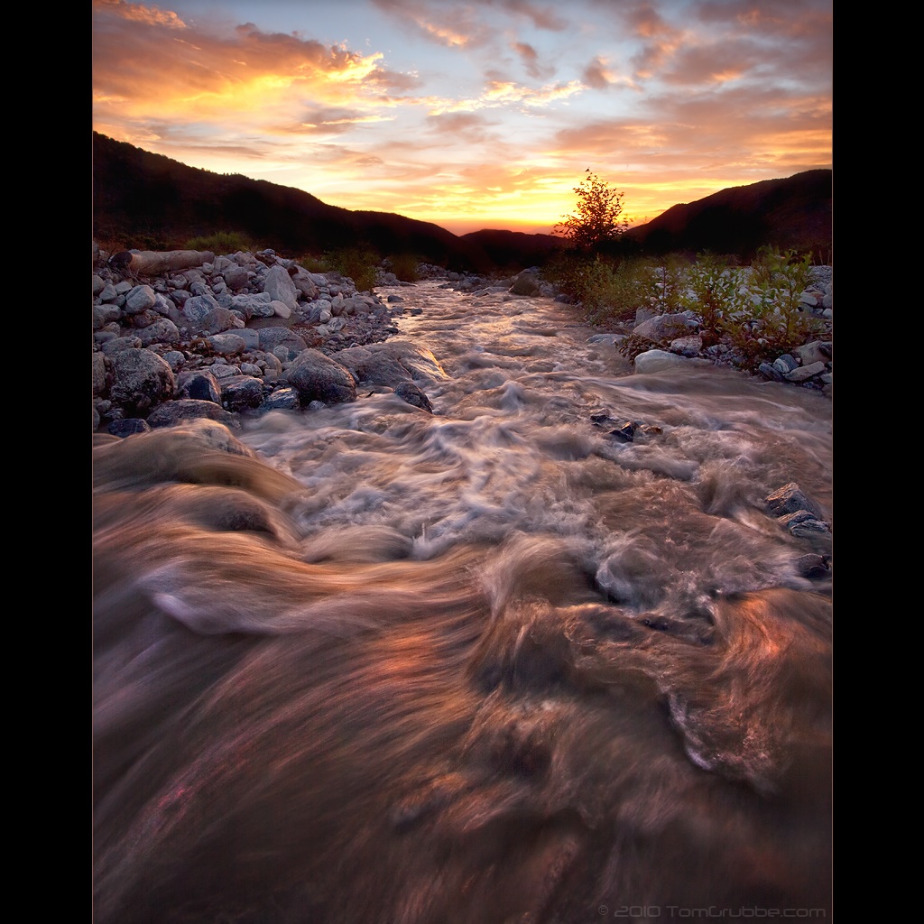
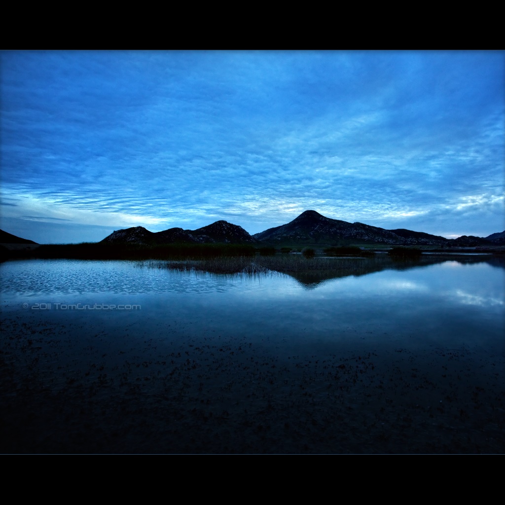
Mill Creek Storm Sunset

Mill Creek and Storm III
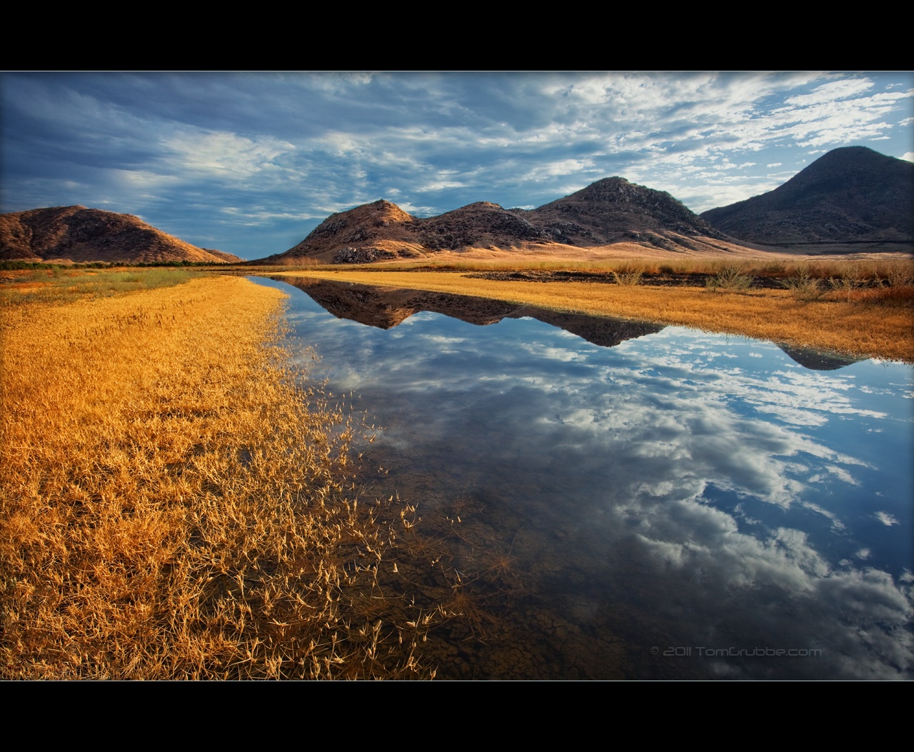
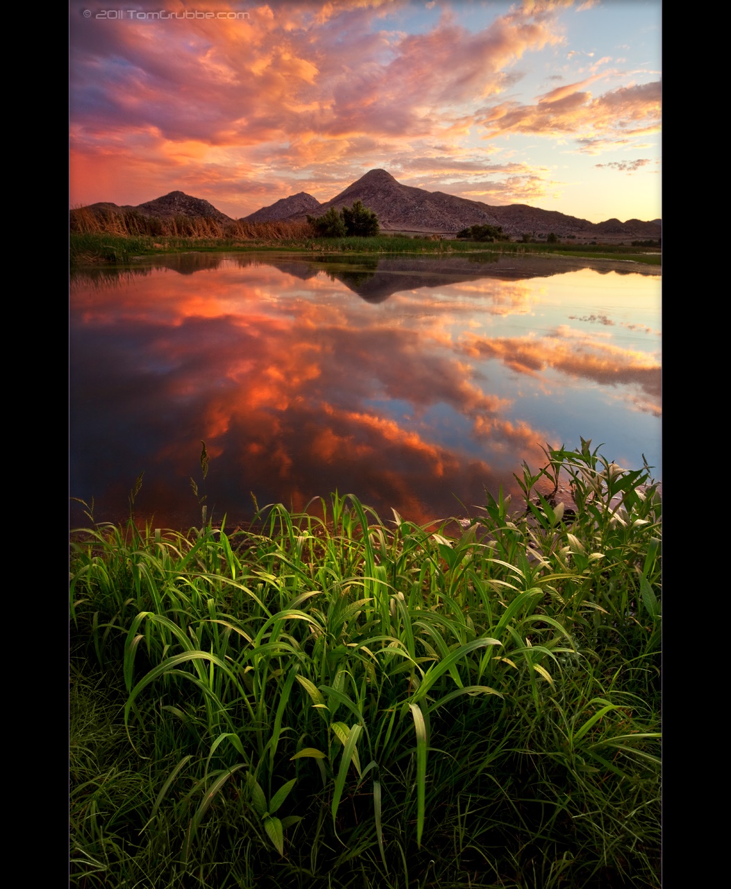
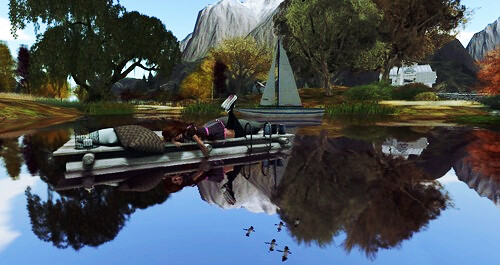
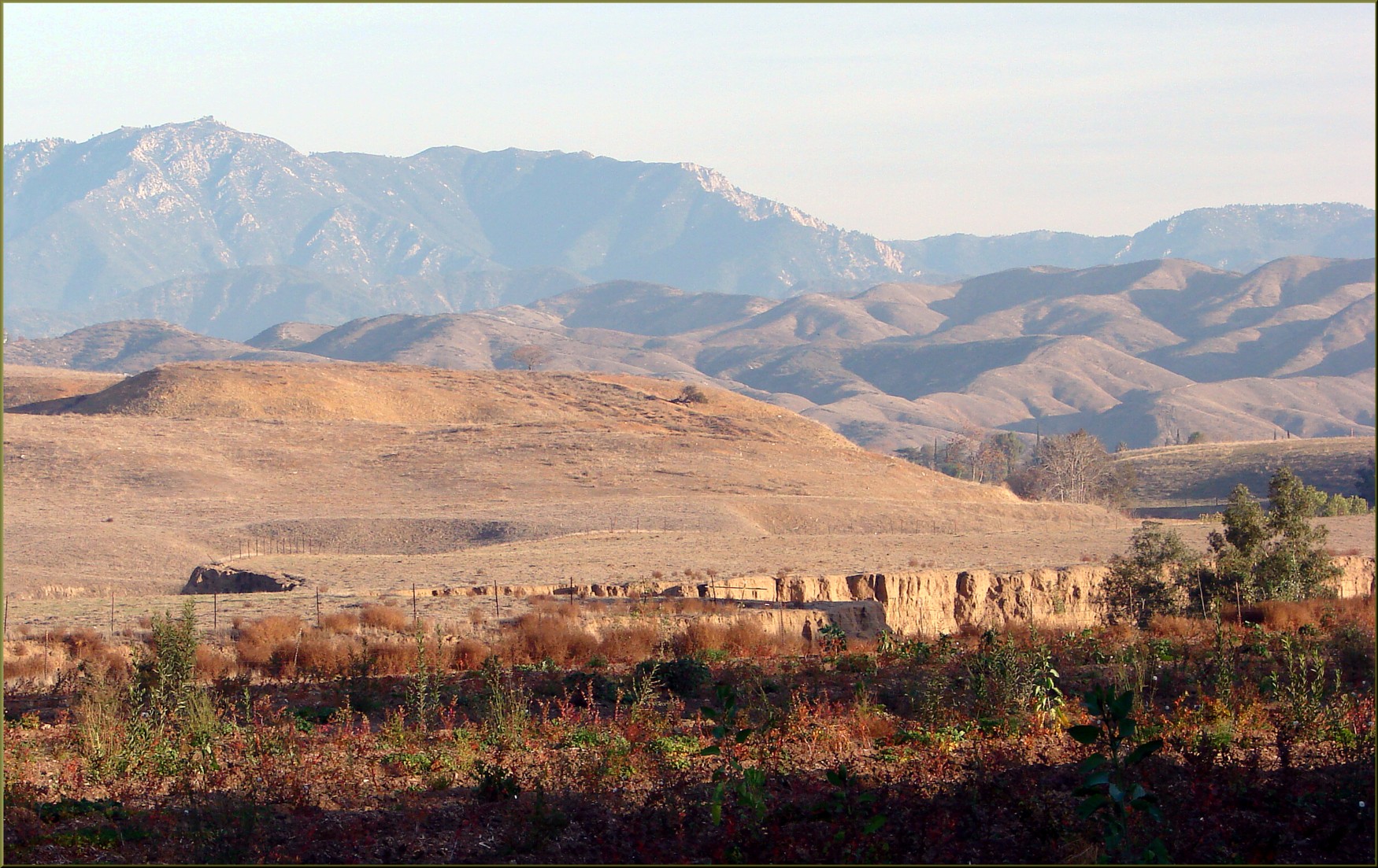
Reflecting Hills

Sunset Valley II
Mill Creek Heat
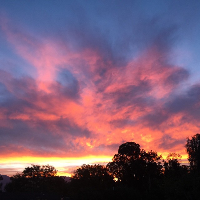
Sunsets are beautiful

2010-01-08 16.59.42

Such a lovely sunset. #vscocam

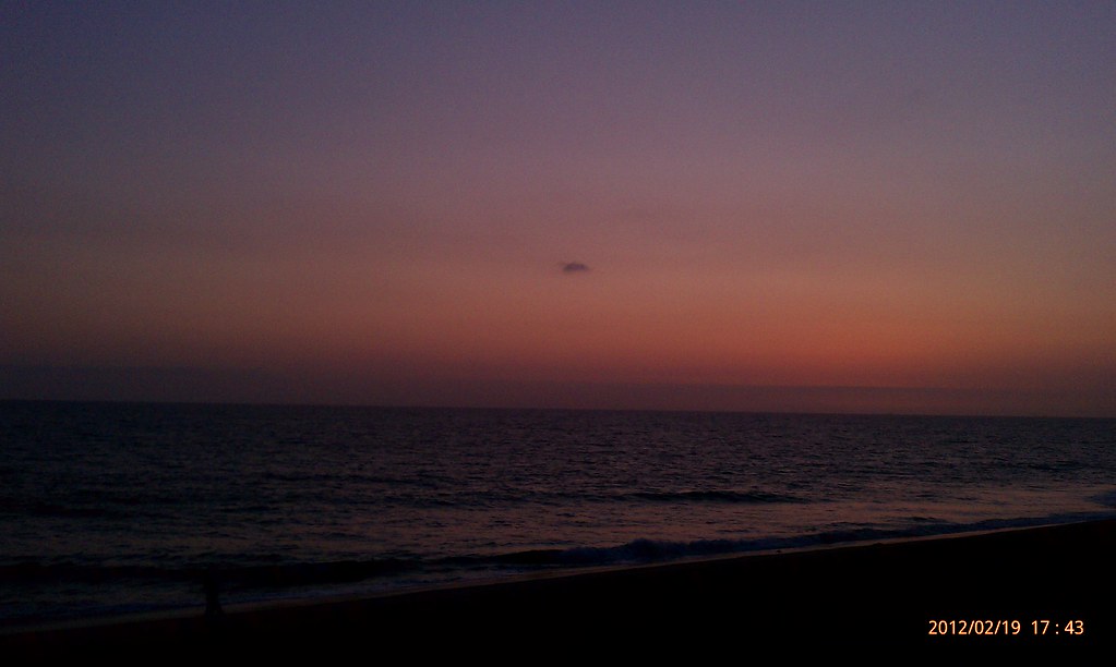
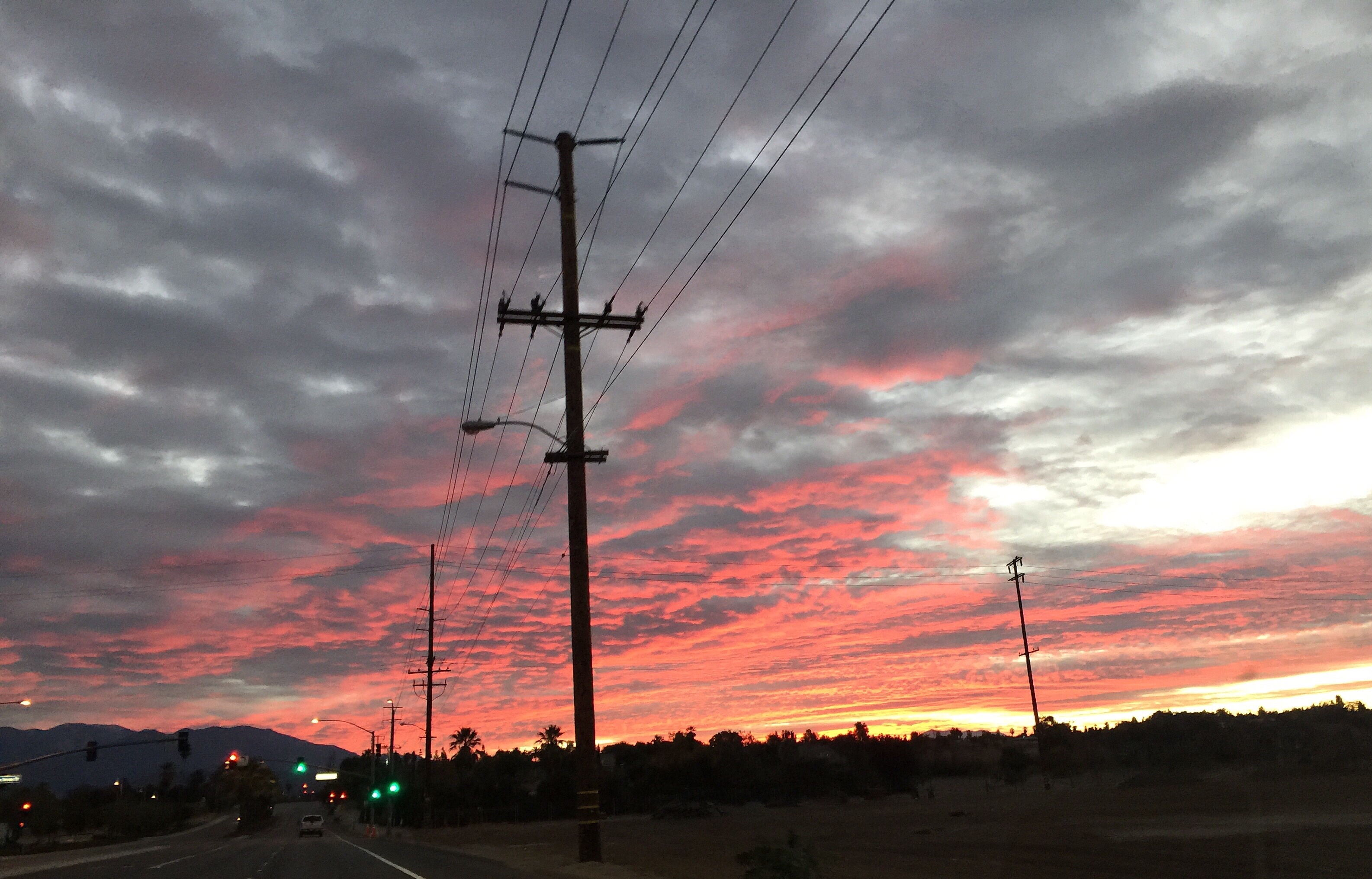
Beautiful sunset tonight
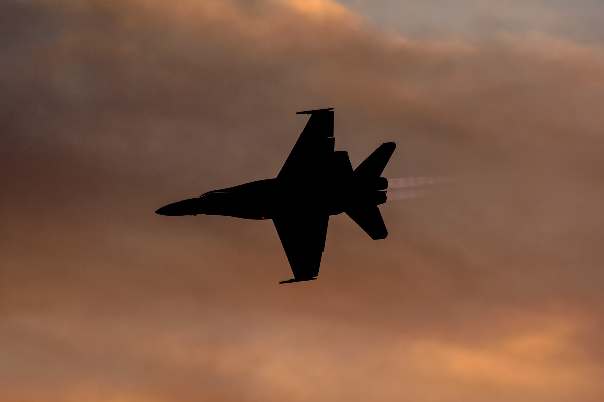
CF-18 Hornet

Charli, At The End
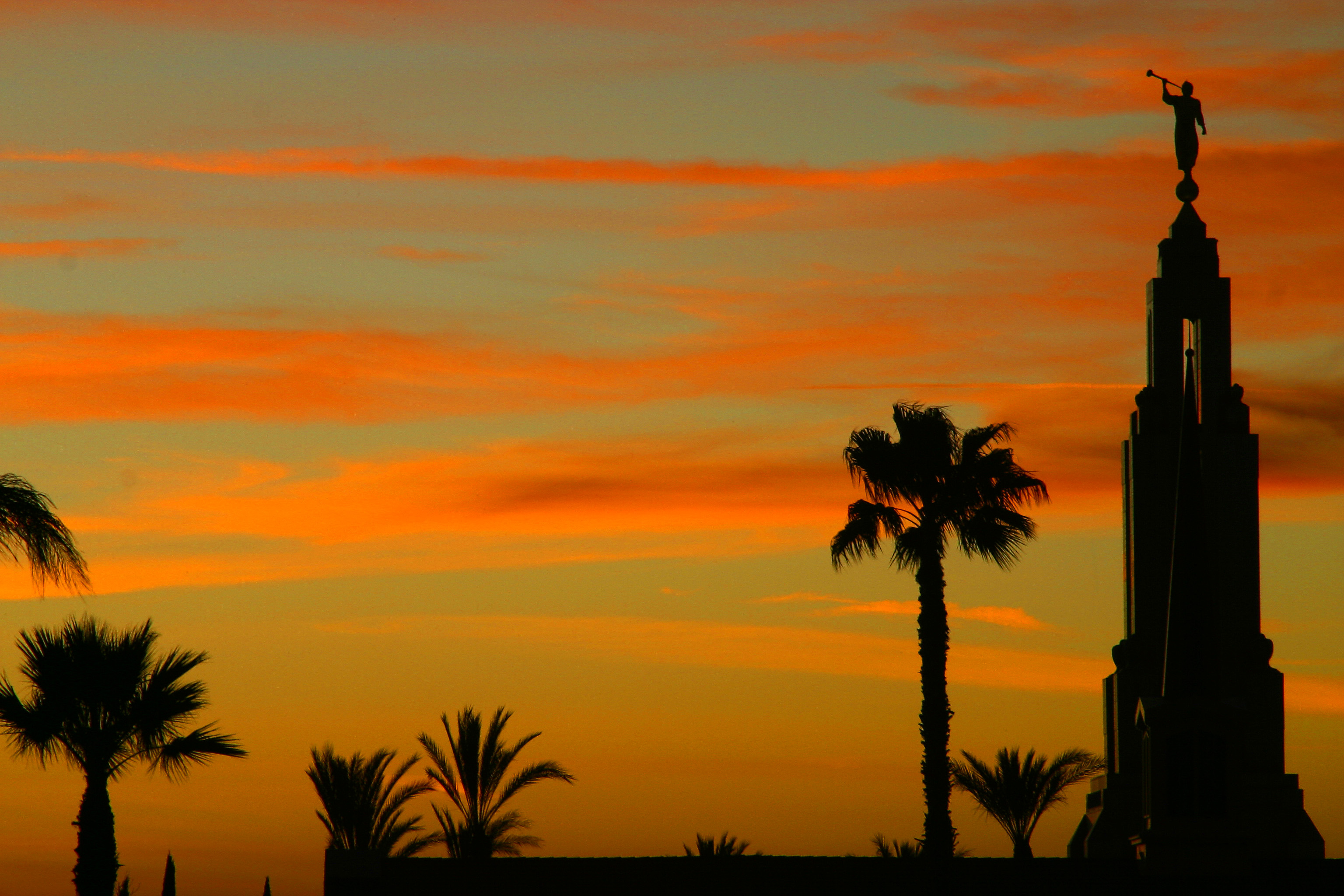
LDS Temple, Redlands
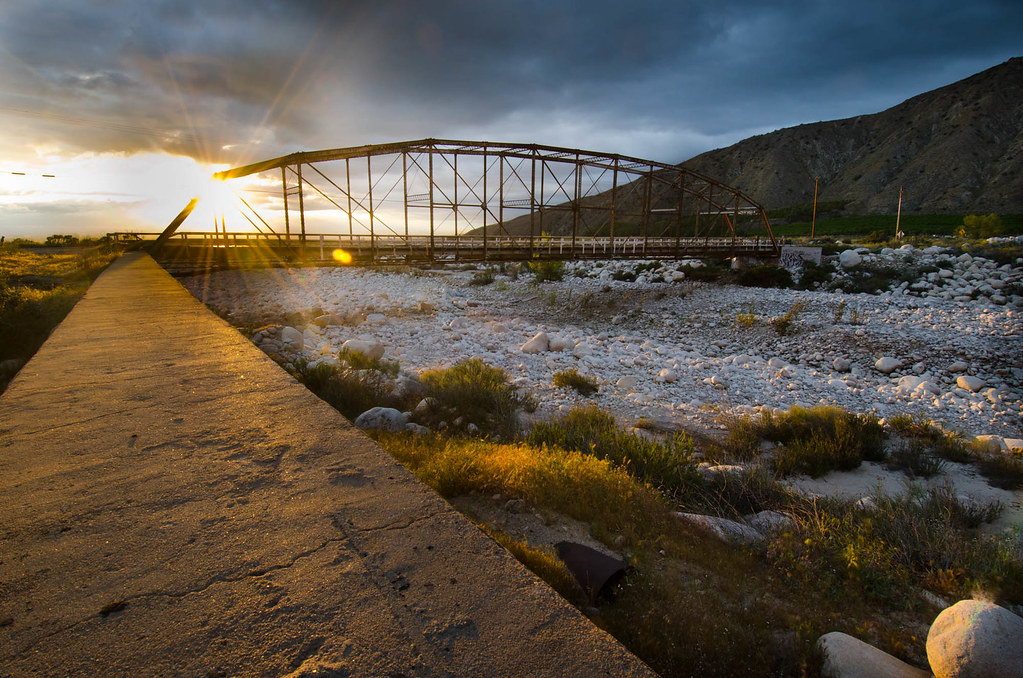
Bridge at Sunset
Sunset Melody II
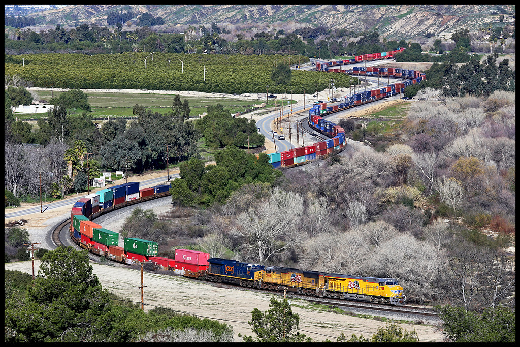
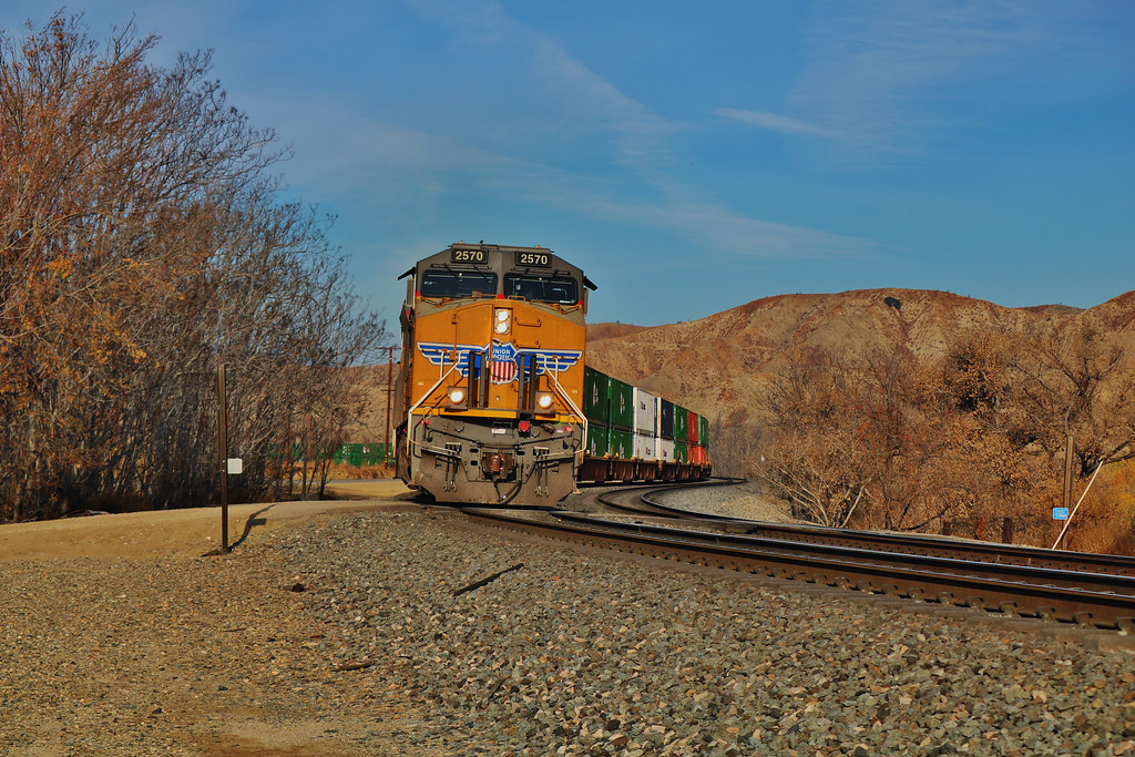
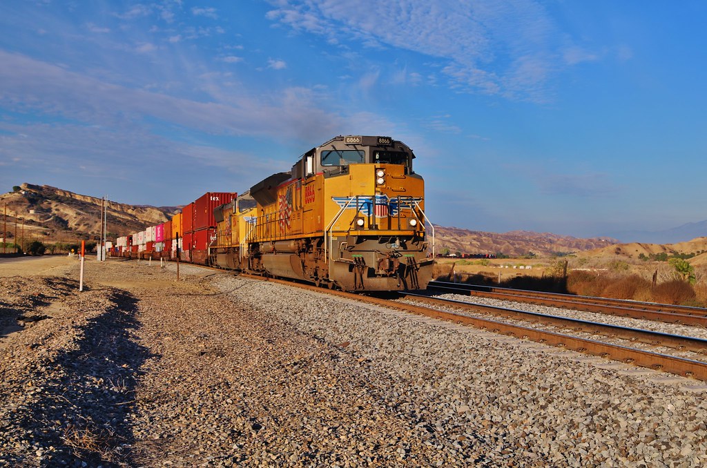
UP 2748

Jan 5 - Branching Silhouette

The Hard Side of Charli
Twilight Hills
Mesquite Missile

UP 8445

Gf taking a pic of the sunset

Redlands, CA
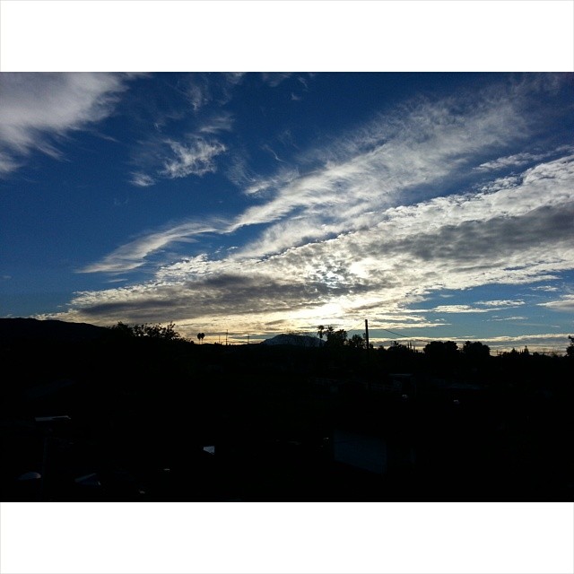
Urban Sunrise
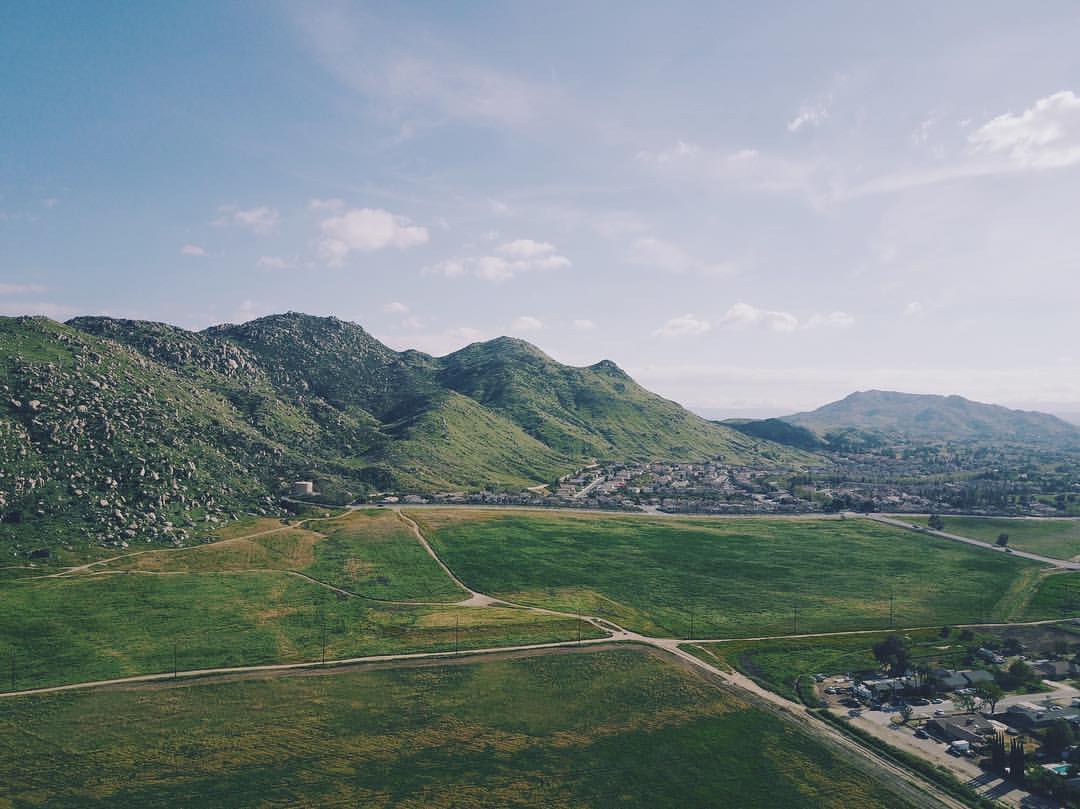
Roadtrip Flying - Moreno Valley - ????⛰????
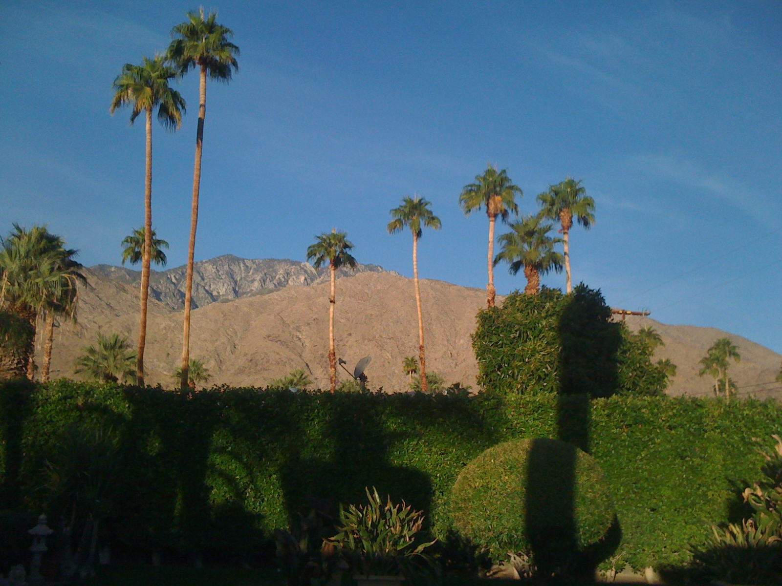
Palm Springs Sunrise on San Jaconto
Mt. Baldy from Panorama Pt 3-9-14f
Clouds Over Mountains 2-16-14

Social Gathering, Ford Park, Redlands, CA 8-12
Morning Sun, Oakmont Park 6-16-13

Saturday's #sunrise at the summit of Mt. San Jacinto, near Palm Springs, Southern California's second-highest peak at 10,834 feet. We took the easiest route, 11-miles round trip from the aerial tramway station at 8,500 feet, starting at 3am from Round Val
Another Teqilla Sunrise
Spectacular Sunrise #Redlands #NoFilter

Live Oak Farms, Wagon 12-9-12

Wildflower Trail, Live Oak Canyon 6-16-13

Living Large, Canyon View, Redlands 5-19-13
Morning Grind
Morning Sunrise #MorningSunrise #Sunrise #AmateurPhotographer #AmateurPhotography #BOBthePhotography
Sunrise, Live Oak Wash 12-9-12

Panorama, Live Oak Canyon 6-16-13
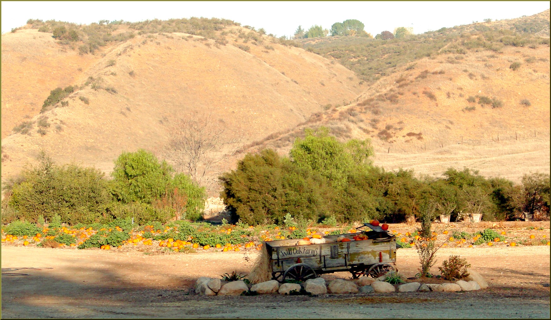
Live Oak Farms, Pumpkins 12-9-12a
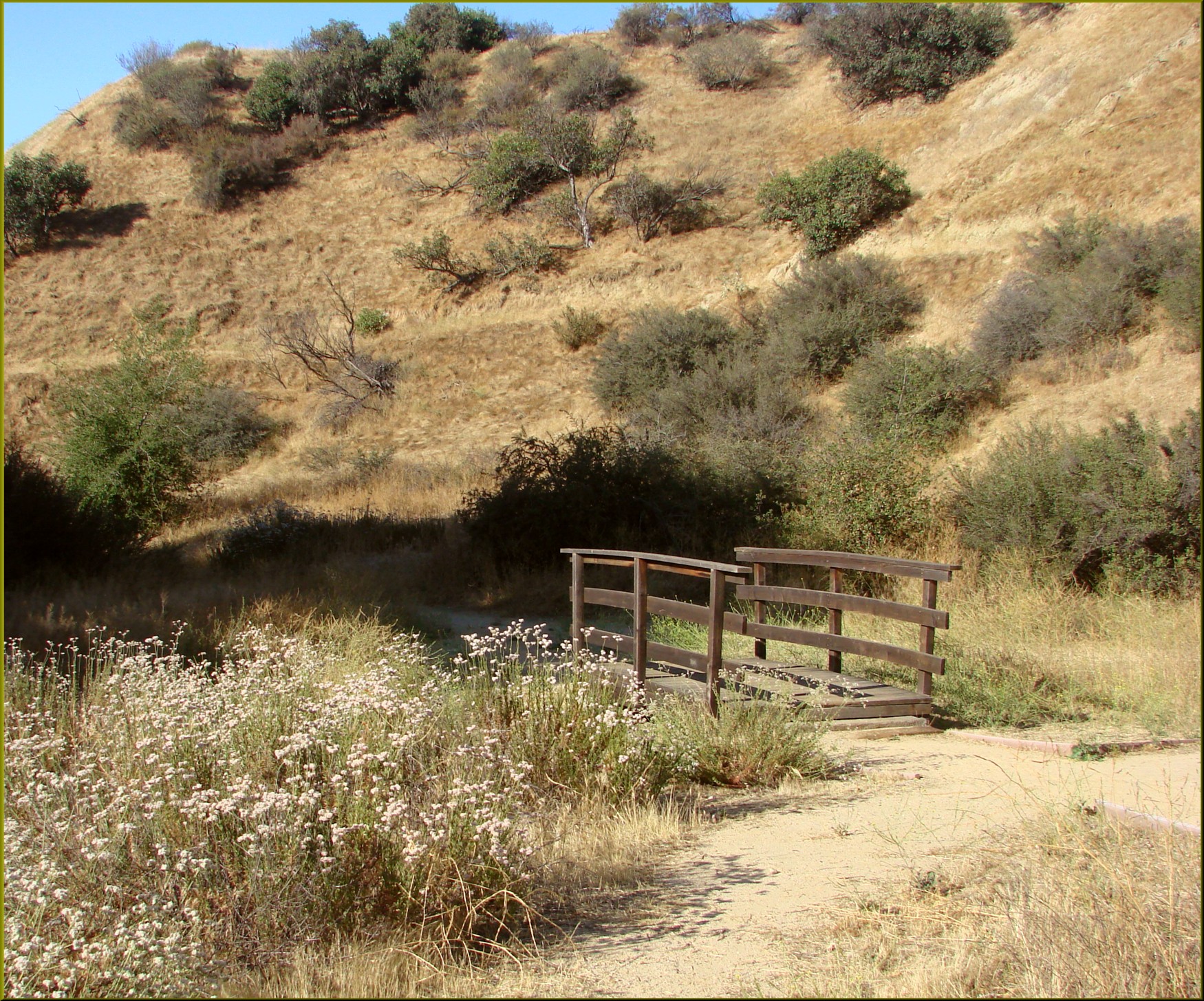
Bridge, Oakmont Park 6-16-13
Panorama Point, Redlands 6-15-13
Mapa de County Line Rd, Yucaipa, CA, EE. UU.
Buscar otro lugar
Lugares cercanos
W County Line Rd, Calimesa, CA, EE. UU.
Calimesa, California, EE. UU.
Ave H, Yucaipa, CA, EE. UU.
Ave H, Yucaipa, CA, EE. UU.
W Ave L, Calimesa, CA, EE. UU.
California St, Calimesa, CA, EE. UU.
Vickey Way, Yucaipa, CA, EE. UU.
California St, Calimesa, CA, EE. UU.
California St, Calimesa, CA, EE. UU.
San Pablo Dr, Yucaipa, CA, EE. UU.
Colonial Dr, Calimesa, CA, EE. UU.
E Avenue L, Calimesa, CA, EE. UU.
Bryant St, Calimesa, CA, EE. UU.
San Lucas Dr, Yucaipa, CA, EE. UU.
Bryant St, Yucaipa, CA, EE. UU.
E Avenue L, Calimesa, CA, EE. UU.
Fox Ln, Calimesa, CA, EE. UU.
35 Country Club Dr, Calimesa, CA, EE. UU.
East Avenue L, E Avenue L, Calimesa, CA, EE. UU.
Sharondale Rd, Calimesa, CA, EE. UU.
Búsquedas recientes
- Horas de salida y puesta de sol de Mountain View, California, EE. UU.
- Horas de salida y puesta de sol de Road to the sky observatory, Shuenhigashi, Shari, Shari District, Hokkaido -, Japan
- Horas de salida y puesta de sol de 海岸咖啡, No. 31號, Chaishan Ave, Gushan District, Kaohsiung City, Taiwán
- Horas de salida y puesta de sol de Estates Loop, Priest River, ID, USA
- Horas de salida y puesta de sol de Woodland Oak Pl, Thousand Oaks, CA, EE. UU.
- Horas de salida y puesta de sol de Sarangdanda, Nepal
- Horas de salida y puesta de sol de Nakanoshima, Shiogama, Miyagi -, Japan
- Horas de salida y puesta de sol de Centro de Investigación en Astronomía, Astrofísica y Geofísica de Argel, bp - 63 Rte de l'Observatoi
- Horas de salida y puesta de sol de Crocker Dr, Vacaville, CA, USA
- Horas de salida y puesta de sol de Pu Ngaol Community Meeting Hall, HWHM+3X7, Krong Saen Monourom, Cambodia