Horas de salida y puesta de sol de Collins Lake Rd, Browns Valley, CA, EE. UU.
Location: Estados Unidos > California > Condado de Yuba > Browns Valley >
Zona horaria:
America/Los_Angeles
Hora local:
2024-05-14 18:51:50
Longitud:
-121.332236
Latitud:
39.342996
Salida de sol de hoy:
05:50:38 AM
Puesta de sol de hoy:
08:12:47 PM
La duración del día hoy:
14h 22m 9s
Salida de sol de mañana:
05:49:47 AM
Puesta de sol de mañana:
08:13:41 PM
La duración del día mañana:
14h 23m 54s
Mostrar todas las fechas
| Fecha | Salida de sol | Puesta de sol | Duración del día |
|---|---|---|---|
| 01/01/2024 | 07:25:13 AM | 04:53:11 PM | 9h 27m 58s |
| 02/01/2024 | 07:25:18 AM | 04:54:02 PM | 9h 28m 44s |
| 03/01/2024 | 07:25:21 AM | 04:54:54 PM | 9h 29m 33s |
| 04/01/2024 | 07:25:22 AM | 04:55:47 PM | 9h 30m 25s |
| 05/01/2024 | 07:25:20 AM | 04:56:42 PM | 9h 31m 22s |
| 06/01/2024 | 07:25:17 AM | 04:57:38 PM | 9h 32m 21s |
| 07/01/2024 | 07:25:11 AM | 04:58:35 PM | 9h 33m 24s |
| 08/01/2024 | 07:25:03 AM | 04:59:33 PM | 9h 34m 30s |
| 09/01/2024 | 07:24:53 AM | 05:00:32 PM | 9h 35m 39s |
| 10/01/2024 | 07:24:41 AM | 05:01:32 PM | 9h 36m 51s |
| 11/01/2024 | 07:24:27 AM | 05:02:34 PM | 9h 38m 7s |
| 12/01/2024 | 07:24:10 AM | 05:03:36 PM | 9h 39m 26s |
| 13/01/2024 | 07:23:51 AM | 05:04:39 PM | 9h 40m 48s |
| 14/01/2024 | 07:23:31 AM | 05:05:43 PM | 9h 42m 12s |
| 15/01/2024 | 07:23:08 AM | 05:06:47 PM | 9h 43m 39s |
| 16/01/2024 | 07:22:43 AM | 05:07:53 PM | 9h 45m 10s |
| 17/01/2024 | 07:22:16 AM | 05:08:59 PM | 9h 46m 43s |
| 18/01/2024 | 07:21:47 AM | 05:10:06 PM | 9h 48m 19s |
| 19/01/2024 | 07:21:15 AM | 05:11:13 PM | 9h 49m 58s |
| 20/01/2024 | 07:20:42 AM | 05:12:21 PM | 9h 51m 39s |
| 21/01/2024 | 07:20:07 AM | 05:13:29 PM | 9h 53m 22s |
| 22/01/2024 | 07:19:30 AM | 05:14:38 PM | 9h 55m 8s |
| 23/01/2024 | 07:18:51 AM | 05:15:47 PM | 9h 56m 56s |
| 24/01/2024 | 07:18:10 AM | 05:16:56 PM | 9h 58m 46s |
| 25/01/2024 | 07:17:27 AM | 05:18:06 PM | 10h 0m 39s |
| 26/01/2024 | 07:16:42 AM | 05:19:16 PM | 10h 2m 34s |
| 27/01/2024 | 07:15:56 AM | 05:20:26 PM | 10h 4m 30s |
| 28/01/2024 | 07:15:08 AM | 05:21:36 PM | 10h 6m 28s |
| 29/01/2024 | 07:14:18 AM | 05:22:47 PM | 10h 8m 29s |
| 30/01/2024 | 07:13:26 AM | 05:23:57 PM | 10h 10m 31s |
| 31/01/2024 | 07:12:32 AM | 05:25:08 PM | 10h 12m 36s |
| 01/02/2024 | 07:11:37 AM | 05:26:18 PM | 10h 14m 41s |
| 02/02/2024 | 07:10:40 AM | 05:27:29 PM | 10h 16m 49s |
| 03/02/2024 | 07:09:42 AM | 05:28:40 PM | 10h 18m 58s |
| 04/02/2024 | 07:08:42 AM | 05:29:50 PM | 10h 21m 8s |
| 05/02/2024 | 07:07:40 AM | 05:31:01 PM | 10h 23m 21s |
| 06/02/2024 | 07:06:37 AM | 05:32:11 PM | 10h 25m 34s |
| 07/02/2024 | 07:05:33 AM | 05:33:21 PM | 10h 27m 48s |
| 08/02/2024 | 07:04:27 AM | 05:34:32 PM | 10h 30m 5s |
| 09/02/2024 | 07:03:20 AM | 05:35:42 PM | 10h 32m 22s |
| 10/02/2024 | 07:02:11 AM | 05:36:51 PM | 10h 34m 40s |
| 11/02/2024 | 07:01:01 AM | 05:38:01 PM | 10h 37m 0s |
| 12/02/2024 | 06:59:50 AM | 05:39:10 PM | 10h 39m 20s |
| 13/02/2024 | 06:58:37 AM | 05:40:19 PM | 10h 41m 42s |
| 14/02/2024 | 06:57:23 AM | 05:41:28 PM | 10h 44m 5s |
| 15/02/2024 | 06:56:08 AM | 05:42:37 PM | 10h 46m 29s |
| 16/02/2024 | 06:54:52 AM | 05:43:45 PM | 10h 48m 53s |
| 17/02/2024 | 06:53:35 AM | 05:44:53 PM | 10h 51m 18s |
| 18/02/2024 | 06:52:17 AM | 05:46:01 PM | 10h 53m 44s |
| 19/02/2024 | 06:50:57 AM | 05:47:09 PM | 10h 56m 12s |
| 20/02/2024 | 06:49:37 AM | 05:48:16 PM | 10h 58m 39s |
| 21/02/2024 | 06:48:16 AM | 05:49:23 PM | 11h 1m 7s |
| 22/02/2024 | 06:46:53 AM | 05:50:29 PM | 11h 3m 36s |
| 23/02/2024 | 06:45:30 AM | 05:51:36 PM | 11h 6m 6s |
| 24/02/2024 | 06:44:06 AM | 05:52:42 PM | 11h 8m 36s |
| 25/02/2024 | 06:42:41 AM | 05:53:47 PM | 11h 11m 6s |
| 26/02/2024 | 06:41:15 AM | 05:54:53 PM | 11h 13m 38s |
| 27/02/2024 | 06:39:49 AM | 05:55:58 PM | 11h 16m 9s |
| 28/02/2024 | 06:38:21 AM | 05:57:02 PM | 11h 18m 41s |
| 29/02/2024 | 06:36:53 AM | 05:58:07 PM | 11h 21m 14s |
| 01/03/2024 | 06:35:25 AM | 05:59:11 PM | 11h 23m 46s |
| 02/03/2024 | 06:33:55 AM | 06:00:15 PM | 11h 26m 20s |
| 03/03/2024 | 06:32:25 AM | 06:01:18 PM | 11h 28m 53s |
| 04/03/2024 | 06:30:55 AM | 06:02:22 PM | 11h 31m 27s |
| 05/03/2024 | 06:29:24 AM | 06:03:25 PM | 11h 34m 1s |
| 06/03/2024 | 06:27:52 AM | 06:04:27 PM | 11h 36m 35s |
| 07/03/2024 | 06:26:20 AM | 06:05:30 PM | 11h 39m 10s |
| 08/03/2024 | 06:24:47 AM | 06:06:32 PM | 11h 41m 45s |
| 09/03/2024 | 06:23:14 AM | 06:07:34 PM | 11h 44m 20s |
| 10/03/2024 | 07:21:45 AM | 07:08:33 PM | 11h 46m 48s |
| 11/03/2024 | 07:20:11 AM | 07:09:35 PM | 11h 49m 24s |
| 12/03/2024 | 07:18:37 AM | 07:10:36 PM | 11h 51m 59s |
| 13/03/2024 | 07:17:03 AM | 07:11:37 PM | 11h 54m 34s |
| 14/03/2024 | 07:15:28 AM | 07:12:38 PM | 11h 57m 10s |
| 15/03/2024 | 07:13:53 AM | 07:13:38 PM | 11h 59m 45s |
| 16/03/2024 | 07:12:18 AM | 07:14:39 PM | 12h 2m 21s |
| 17/03/2024 | 07:10:43 AM | 07:15:39 PM | 12h 4m 56s |
| 18/03/2024 | 07:09:08 AM | 07:16:39 PM | 12h 7m 31s |
| 19/03/2024 | 07:07:32 AM | 07:17:39 PM | 12h 10m 7s |
| 20/03/2024 | 07:05:57 AM | 07:18:39 PM | 12h 12m 42s |
| 21/03/2024 | 07:04:21 AM | 07:19:39 PM | 12h 15m 18s |
| 22/03/2024 | 07:02:45 AM | 07:20:39 PM | 12h 17m 54s |
| 23/03/2024 | 07:01:10 AM | 07:21:38 PM | 12h 20m 28s |
| 24/03/2024 | 06:59:34 AM | 07:22:37 PM | 12h 23m 3s |
| 25/03/2024 | 06:57:59 AM | 07:23:37 PM | 12h 25m 38s |
| 26/03/2024 | 06:56:23 AM | 07:24:36 PM | 12h 28m 13s |
| 27/03/2024 | 06:54:48 AM | 07:25:35 PM | 12h 30m 47s |
| 28/03/2024 | 06:53:13 AM | 07:26:34 PM | 12h 33m 21s |
| 29/03/2024 | 06:51:38 AM | 07:27:33 PM | 12h 35m 55s |
| 30/03/2024 | 06:50:03 AM | 07:28:32 PM | 12h 38m 29s |
| 31/03/2024 | 06:48:28 AM | 07:29:31 PM | 12h 41m 3s |
| 01/04/2024 | 06:46:54 AM | 07:30:30 PM | 12h 43m 36s |
| 02/04/2024 | 06:45:20 AM | 07:31:29 PM | 12h 46m 9s |
| 03/04/2024 | 06:43:47 AM | 07:32:28 PM | 12h 48m 41s |
| 04/04/2024 | 06:42:13 AM | 07:33:27 PM | 12h 51m 14s |
| 05/04/2024 | 06:40:41 AM | 07:34:26 PM | 12h 53m 45s |
| 06/04/2024 | 06:39:08 AM | 07:35:25 PM | 12h 56m 17s |
| 07/04/2024 | 06:37:36 AM | 07:36:24 PM | 12h 58m 48s |
| 08/04/2024 | 06:36:05 AM | 07:37:23 PM | 13h 1m 18s |
| 09/04/2024 | 06:34:34 AM | 07:38:22 PM | 13h 3m 48s |
| 10/04/2024 | 06:33:03 AM | 07:39:21 PM | 13h 6m 18s |
| 11/04/2024 | 06:31:34 AM | 07:40:20 PM | 13h 8m 46s |
| 12/04/2024 | 06:30:04 AM | 07:41:19 PM | 13h 11m 15s |
| 13/04/2024 | 06:28:36 AM | 07:42:18 PM | 13h 13m 42s |
| 14/04/2024 | 06:27:08 AM | 07:43:17 PM | 13h 16m 9s |
| 15/04/2024 | 06:25:41 AM | 07:44:16 PM | 13h 18m 35s |
| 16/04/2024 | 06:24:14 AM | 07:45:15 PM | 13h 21m 1s |
| 17/04/2024 | 06:22:49 AM | 07:46:15 PM | 13h 23m 26s |
| 18/04/2024 | 06:21:24 AM | 07:47:14 PM | 13h 25m 50s |
| 19/04/2024 | 06:20:00 AM | 07:48:13 PM | 13h 28m 13s |
| 20/04/2024 | 06:18:37 AM | 07:49:12 PM | 13h 30m 35s |
| 21/04/2024 | 06:17:14 AM | 07:50:11 PM | 13h 32m 57s |
| 22/04/2024 | 06:15:53 AM | 07:51:11 PM | 13h 35m 18s |
| 23/04/2024 | 06:14:33 AM | 07:52:10 PM | 13h 37m 37s |
| 24/04/2024 | 06:13:13 AM | 07:53:09 PM | 13h 39m 56s |
| 25/04/2024 | 06:11:55 AM | 07:54:08 PM | 13h 42m 13s |
| 26/04/2024 | 06:10:37 AM | 07:55:08 PM | 13h 44m 31s |
| 27/04/2024 | 06:09:21 AM | 07:56:07 PM | 13h 46m 46s |
| 28/04/2024 | 06:08:06 AM | 07:57:06 PM | 13h 49m 0s |
| 29/04/2024 | 06:06:52 AM | 07:58:05 PM | 13h 51m 13s |
| 30/04/2024 | 06:05:39 AM | 07:59:04 PM | 13h 53m 25s |
| 01/05/2024 | 06:04:27 AM | 08:00:02 PM | 13h 55m 35s |
| 02/05/2024 | 06:03:17 AM | 08:01:01 PM | 13h 57m 44s |
| 03/05/2024 | 06:02:07 AM | 08:01:59 PM | 13h 59m 52s |
| 04/05/2024 | 06:01:00 AM | 08:02:58 PM | 14h 1m 58s |
| 05/05/2024 | 05:59:53 AM | 08:03:56 PM | 14h 4m 3s |
| 06/05/2024 | 05:58:48 AM | 08:04:54 PM | 14h 6m 6s |
| 07/05/2024 | 05:57:44 AM | 08:05:51 PM | 14h 8m 7s |
| 08/05/2024 | 05:56:41 AM | 08:06:49 PM | 14h 10m 8s |
| 09/05/2024 | 05:55:40 AM | 08:07:46 PM | 14h 12m 6s |
| 10/05/2024 | 05:54:41 AM | 08:08:43 PM | 14h 14m 2s |
| 11/05/2024 | 05:53:43 AM | 08:09:39 PM | 14h 15m 56s |
| 12/05/2024 | 05:52:46 AM | 08:10:35 PM | 14h 17m 49s |
| 13/05/2024 | 05:51:51 AM | 08:11:31 PM | 14h 19m 40s |
| 14/05/2024 | 05:50:57 AM | 08:12:26 PM | 14h 21m 29s |
| 15/05/2024 | 05:50:06 AM | 08:13:21 PM | 14h 23m 15s |
| 16/05/2024 | 05:49:15 AM | 08:14:15 PM | 14h 25m 0s |
| 17/05/2024 | 05:48:27 AM | 08:15:09 PM | 14h 26m 42s |
| 18/05/2024 | 05:47:40 AM | 08:16:02 PM | 14h 28m 22s |
| 19/05/2024 | 05:46:55 AM | 08:16:54 PM | 14h 29m 59s |
| 20/05/2024 | 05:46:11 AM | 08:17:46 PM | 14h 31m 35s |
| 21/05/2024 | 05:45:29 AM | 08:18:37 PM | 14h 33m 8s |
| 22/05/2024 | 05:44:49 AM | 08:19:28 PM | 14h 34m 39s |
| 23/05/2024 | 05:44:11 AM | 08:20:18 PM | 14h 36m 7s |
| 24/05/2024 | 05:43:34 AM | 08:21:06 PM | 14h 37m 32s |
| 25/05/2024 | 05:43:00 AM | 08:21:55 PM | 14h 38m 55s |
| 26/05/2024 | 05:42:27 AM | 08:22:42 PM | 14h 40m 15s |
| 27/05/2024 | 05:41:56 AM | 08:23:28 PM | 14h 41m 32s |
| 28/05/2024 | 05:41:27 AM | 08:24:13 PM | 14h 42m 46s |
| 29/05/2024 | 05:40:59 AM | 08:24:58 PM | 14h 43m 59s |
| 30/05/2024 | 05:40:34 AM | 08:25:41 PM | 14h 45m 7s |
| 31/05/2024 | 05:40:10 AM | 08:26:23 PM | 14h 46m 13s |
| 01/06/2024 | 05:39:49 AM | 08:27:04 PM | 14h 47m 15s |
| 02/06/2024 | 05:39:29 AM | 08:27:44 PM | 14h 48m 15s |
| 03/06/2024 | 05:39:11 AM | 08:28:23 PM | 14h 49m 12s |
| 04/06/2024 | 05:38:55 AM | 08:29:00 PM | 14h 50m 5s |
| 05/06/2024 | 05:38:41 AM | 08:29:36 PM | 14h 50m 55s |
| 06/06/2024 | 05:38:29 AM | 08:30:11 PM | 14h 51m 42s |
| 07/06/2024 | 05:38:19 AM | 08:30:45 PM | 14h 52m 26s |
| 08/06/2024 | 05:38:10 AM | 08:31:17 PM | 14h 53m 7s |
| 09/06/2024 | 05:38:04 AM | 08:31:47 PM | 14h 53m 43s |
| 10/06/2024 | 05:37:59 AM | 08:32:16 PM | 14h 54m 17s |
| 11/06/2024 | 05:37:56 AM | 08:32:44 PM | 14h 54m 48s |
| 12/06/2024 | 05:37:56 AM | 08:33:10 PM | 14h 55m 14s |
| 13/06/2024 | 05:37:57 AM | 08:33:34 PM | 14h 55m 37s |
| 14/06/2024 | 05:37:59 AM | 08:33:57 PM | 14h 55m 58s |
| 15/06/2024 | 05:38:04 AM | 08:34:19 PM | 14h 56m 15s |
| 16/06/2024 | 05:38:11 AM | 08:34:38 PM | 14h 56m 27s |
| 17/06/2024 | 05:38:19 AM | 08:34:56 PM | 14h 56m 37s |
| 18/06/2024 | 05:38:29 AM | 08:35:12 PM | 14h 56m 43s |
| 19/06/2024 | 05:38:41 AM | 08:35:26 PM | 14h 56m 45s |
| 20/06/2024 | 05:38:54 AM | 08:35:39 PM | 14h 56m 45s |
| 21/06/2024 | 05:39:10 AM | 08:35:50 PM | 14h 56m 40s |
| 22/06/2024 | 05:39:26 AM | 08:35:59 PM | 14h 56m 33s |
| 23/06/2024 | 05:39:45 AM | 08:36:06 PM | 14h 56m 21s |
| 24/06/2024 | 05:40:05 AM | 08:36:11 PM | 14h 56m 6s |
| 25/06/2024 | 05:40:27 AM | 08:36:14 PM | 14h 55m 47s |
| 26/06/2024 | 05:40:50 AM | 08:36:16 PM | 14h 55m 26s |
| 27/06/2024 | 05:41:15 AM | 08:36:16 PM | 14h 55m 1s |
| 28/06/2024 | 05:41:41 AM | 08:36:13 PM | 14h 54m 32s |
| 29/06/2024 | 05:42:09 AM | 08:36:09 PM | 14h 54m 0s |
| 30/06/2024 | 05:42:38 AM | 08:36:03 PM | 14h 53m 25s |
| 01/07/2024 | 05:43:09 AM | 08:35:55 PM | 14h 52m 46s |
| 02/07/2024 | 05:43:41 AM | 08:35:45 PM | 14h 52m 4s |
| 03/07/2024 | 05:44:14 AM | 08:35:32 PM | 14h 51m 18s |
| 04/07/2024 | 05:44:49 AM | 08:35:19 PM | 14h 50m 30s |
| 05/07/2024 | 05:45:24 AM | 08:35:03 PM | 14h 49m 39s |
| 06/07/2024 | 05:46:01 AM | 08:34:45 PM | 14h 48m 44s |
| 07/07/2024 | 05:46:39 AM | 08:34:25 PM | 14h 47m 46s |
| 08/07/2024 | 05:47:19 AM | 08:34:03 PM | 14h 46m 44s |
| 09/07/2024 | 05:47:59 AM | 08:33:40 PM | 14h 45m 41s |
| 10/07/2024 | 05:48:40 AM | 08:33:14 PM | 14h 44m 34s |
| 11/07/2024 | 05:49:22 AM | 08:32:47 PM | 14h 43m 25s |
| 12/07/2024 | 05:50:06 AM | 08:32:17 PM | 14h 42m 11s |
| 13/07/2024 | 05:50:50 AM | 08:31:46 PM | 14h 40m 56s |
| 14/07/2024 | 05:51:35 AM | 08:31:13 PM | 14h 39m 38s |
| 15/07/2024 | 05:52:20 AM | 08:30:38 PM | 14h 38m 18s |
| 16/07/2024 | 05:53:07 AM | 08:30:01 PM | 14h 36m 54s |
| 17/07/2024 | 05:53:54 AM | 08:29:22 PM | 14h 35m 28s |
| 18/07/2024 | 05:54:42 AM | 08:28:42 PM | 14h 34m 0s |
| 19/07/2024 | 05:55:31 AM | 08:28:00 PM | 14h 32m 29s |
| 20/07/2024 | 05:56:20 AM | 08:27:16 PM | 14h 30m 56s |
| 21/07/2024 | 05:57:10 AM | 08:26:30 PM | 14h 29m 20s |
| 22/07/2024 | 05:58:01 AM | 08:25:42 PM | 14h 27m 41s |
| 23/07/2024 | 05:58:52 AM | 08:24:53 PM | 14h 26m 1s |
| 24/07/2024 | 05:59:43 AM | 08:24:02 PM | 14h 24m 19s |
| 25/07/2024 | 06:00:35 AM | 08:23:10 PM | 14h 22m 35s |
| 26/07/2024 | 06:01:28 AM | 08:22:16 PM | 14h 20m 48s |
| 27/07/2024 | 06:02:20 AM | 08:21:20 PM | 14h 19m 0s |
| 28/07/2024 | 06:03:13 AM | 08:20:23 PM | 14h 17m 10s |
| 29/07/2024 | 06:04:07 AM | 08:19:24 PM | 14h 15m 17s |
| 30/07/2024 | 06:05:01 AM | 08:18:24 PM | 14h 13m 23s |
| 31/07/2024 | 06:05:55 AM | 08:17:22 PM | 14h 11m 27s |
| 01/08/2024 | 06:06:49 AM | 08:16:19 PM | 14h 9m 30s |
| 02/08/2024 | 06:07:43 AM | 08:15:14 PM | 14h 7m 31s |
| 03/08/2024 | 06:08:38 AM | 08:14:08 PM | 14h 5m 30s |
| 04/08/2024 | 06:09:33 AM | 08:13:00 PM | 14h 3m 27s |
| 05/08/2024 | 06:10:28 AM | 08:11:52 PM | 14h 1m 24s |
| 06/08/2024 | 06:11:23 AM | 08:10:42 PM | 13h 59m 19s |
| 07/08/2024 | 06:12:18 AM | 08:09:30 PM | 13h 57m 12s |
| 08/08/2024 | 06:13:13 AM | 08:08:17 PM | 13h 55m 4s |
| 09/08/2024 | 06:14:09 AM | 08:07:04 PM | 13h 52m 55s |
| 10/08/2024 | 06:15:04 AM | 08:05:49 PM | 13h 50m 45s |
| 11/08/2024 | 06:16:00 AM | 08:04:32 PM | 13h 48m 32s |
| 12/08/2024 | 06:16:55 AM | 08:03:15 PM | 13h 46m 20s |
| 13/08/2024 | 06:17:51 AM | 08:01:56 PM | 13h 44m 5s |
| 14/08/2024 | 06:18:46 AM | 08:00:37 PM | 13h 41m 51s |
| 15/08/2024 | 06:19:42 AM | 07:59:16 PM | 13h 39m 34s |
| 16/08/2024 | 06:20:37 AM | 07:57:55 PM | 13h 37m 18s |
| 17/08/2024 | 06:21:33 AM | 07:56:32 PM | 13h 34m 59s |
| 18/08/2024 | 06:22:28 AM | 07:55:09 PM | 13h 32m 41s |
| 19/08/2024 | 06:23:24 AM | 07:53:44 PM | 13h 30m 20s |
| 20/08/2024 | 06:24:19 AM | 07:52:19 PM | 13h 28m 0s |
| 21/08/2024 | 06:25:14 AM | 07:50:53 PM | 13h 25m 39s |
| 22/08/2024 | 06:26:09 AM | 07:49:26 PM | 13h 23m 17s |
| 23/08/2024 | 06:27:05 AM | 07:47:58 PM | 13h 20m 53s |
| 24/08/2024 | 06:28:00 AM | 07:46:30 PM | 13h 18m 30s |
| 25/08/2024 | 06:28:55 AM | 07:45:00 PM | 13h 16m 5s |
| 26/08/2024 | 06:29:50 AM | 07:43:30 PM | 13h 13m 40s |
| 27/08/2024 | 06:30:45 AM | 07:42:00 PM | 13h 11m 15s |
| 28/08/2024 | 06:31:40 AM | 07:40:29 PM | 13h 8m 49s |
| 29/08/2024 | 06:32:35 AM | 07:38:57 PM | 13h 6m 22s |
| 30/08/2024 | 06:33:29 AM | 07:37:24 PM | 13h 3m 55s |
| 31/08/2024 | 06:34:24 AM | 07:35:51 PM | 13h 1m 27s |
| 01/09/2024 | 06:35:19 AM | 07:34:18 PM | 12h 58m 59s |
| 02/09/2024 | 06:36:13 AM | 07:32:44 PM | 12h 56m 31s |
| 03/09/2024 | 06:37:08 AM | 07:31:09 PM | 12h 54m 1s |
| 04/09/2024 | 06:38:03 AM | 07:29:34 PM | 12h 51m 31s |
| 05/09/2024 | 06:38:57 AM | 07:27:59 PM | 12h 49m 2s |
| 06/09/2024 | 06:39:52 AM | 07:26:23 PM | 12h 46m 31s |
| 07/09/2024 | 06:40:46 AM | 07:24:47 PM | 12h 44m 1s |
| 08/09/2024 | 06:41:41 AM | 07:23:11 PM | 12h 41m 30s |
| 09/09/2024 | 06:42:35 AM | 07:21:34 PM | 12h 38m 59s |
| 10/09/2024 | 06:43:30 AM | 07:19:58 PM | 12h 36m 28s |
| 11/09/2024 | 06:44:24 AM | 07:18:21 PM | 12h 33m 57s |
| 12/09/2024 | 06:45:19 AM | 07:16:43 PM | 12h 31m 24s |
| 13/09/2024 | 06:46:14 AM | 07:15:06 PM | 12h 28m 52s |
| 14/09/2024 | 06:47:08 AM | 07:13:28 PM | 12h 26m 20s |
| 15/09/2024 | 06:48:03 AM | 07:11:51 PM | 12h 23m 48s |
| 16/09/2024 | 06:48:58 AM | 07:10:13 PM | 12h 21m 15s |
| 17/09/2024 | 06:49:53 AM | 07:08:35 PM | 12h 18m 42s |
| 18/09/2024 | 06:50:48 AM | 07:06:57 PM | 12h 16m 9s |
| 19/09/2024 | 06:51:43 AM | 07:05:19 PM | 12h 13m 36s |
| 20/09/2024 | 06:52:38 AM | 07:03:42 PM | 12h 11m 4s |
| 21/09/2024 | 06:53:34 AM | 07:02:04 PM | 12h 8m 30s |
| 22/09/2024 | 06:54:29 AM | 07:00:26 PM | 12h 5m 57s |
| 23/09/2024 | 06:55:25 AM | 06:58:49 PM | 12h 3m 24s |
| 24/09/2024 | 06:56:21 AM | 06:57:12 PM | 12h 0m 51s |
| 25/09/2024 | 06:57:17 AM | 06:55:35 PM | 11h 58m 18s |
| 26/09/2024 | 06:58:13 AM | 06:53:58 PM | 11h 55m 45s |
| 27/09/2024 | 06:59:09 AM | 06:52:21 PM | 11h 53m 12s |
| 28/09/2024 | 07:00:06 AM | 06:50:45 PM | 11h 50m 39s |
| 29/09/2024 | 07:01:03 AM | 06:49:09 PM | 11h 48m 6s |
| 30/09/2024 | 07:02:00 AM | 06:47:33 PM | 11h 45m 33s |
| 01/10/2024 | 07:02:57 AM | 06:45:58 PM | 11h 43m 1s |
| 02/10/2024 | 07:03:55 AM | 06:44:23 PM | 11h 40m 28s |
| 03/10/2024 | 07:04:53 AM | 06:42:48 PM | 11h 37m 55s |
| 04/10/2024 | 07:05:51 AM | 06:41:14 PM | 11h 35m 23s |
| 05/10/2024 | 07:06:49 AM | 06:39:41 PM | 11h 32m 52s |
| 06/10/2024 | 07:07:48 AM | 06:38:08 PM | 11h 30m 20s |
| 07/10/2024 | 07:08:47 AM | 06:36:35 PM | 11h 27m 48s |
| 08/10/2024 | 07:09:46 AM | 06:35:03 PM | 11h 25m 17s |
| 09/10/2024 | 07:10:46 AM | 06:33:32 PM | 11h 22m 46s |
| 10/10/2024 | 07:11:46 AM | 06:32:02 PM | 11h 20m 16s |
| 11/10/2024 | 07:12:46 AM | 06:30:32 PM | 11h 17m 46s |
| 12/10/2024 | 07:13:46 AM | 06:29:02 PM | 11h 15m 16s |
| 13/10/2024 | 07:14:47 AM | 06:27:34 PM | 11h 12m 47s |
| 14/10/2024 | 07:15:49 AM | 06:26:06 PM | 11h 10m 17s |
| 15/10/2024 | 07:16:50 AM | 06:24:40 PM | 11h 7m 50s |
| 16/10/2024 | 07:17:52 AM | 06:23:14 PM | 11h 5m 22s |
| 17/10/2024 | 07:18:54 AM | 06:21:48 PM | 11h 2m 54s |
| 18/10/2024 | 07:19:57 AM | 06:20:24 PM | 11h 0m 27s |
| 19/10/2024 | 07:20:59 AM | 06:19:01 PM | 10h 58m 2s |
| 20/10/2024 | 07:22:03 AM | 06:17:39 PM | 10h 55m 36s |
| 21/10/2024 | 07:23:06 AM | 06:16:18 PM | 10h 53m 12s |
| 22/10/2024 | 07:24:10 AM | 06:14:57 PM | 10h 50m 47s |
| 23/10/2024 | 07:25:14 AM | 06:13:38 PM | 10h 48m 24s |
| 24/10/2024 | 07:26:19 AM | 06:12:20 PM | 10h 46m 1s |
| 25/10/2024 | 07:27:23 AM | 06:11:03 PM | 10h 43m 40s |
| 26/10/2024 | 07:28:29 AM | 06:09:48 PM | 10h 41m 19s |
| 27/10/2024 | 07:29:34 AM | 06:08:33 PM | 10h 38m 59s |
| 28/10/2024 | 07:30:40 AM | 06:07:20 PM | 10h 36m 40s |
| 29/10/2024 | 07:31:45 AM | 06:06:08 PM | 10h 34m 23s |
| 30/10/2024 | 07:32:52 AM | 06:04:58 PM | 10h 32m 6s |
| 31/10/2024 | 07:33:58 AM | 06:03:49 PM | 10h 29m 51s |
| 01/11/2024 | 07:35:05 AM | 06:02:41 PM | 10h 27m 36s |
| 02/11/2024 | 07:36:11 AM | 06:01:35 PM | 10h 25m 24s |
| 03/11/2024 | 06:37:21 AM | 05:00:27 PM | 10h 23m 6s |
| 04/11/2024 | 06:38:28 AM | 04:59:24 PM | 10h 20m 56s |
| 05/11/2024 | 06:39:35 AM | 04:58:22 PM | 10h 18m 47s |
| 06/11/2024 | 06:40:43 AM | 04:57:22 PM | 10h 16m 39s |
| 07/11/2024 | 06:41:50 AM | 04:56:23 PM | 10h 14m 33s |
| 08/11/2024 | 06:42:58 AM | 04:55:26 PM | 10h 12m 28s |
| 09/11/2024 | 06:44:05 AM | 04:54:31 PM | 10h 10m 26s |
| 10/11/2024 | 06:45:13 AM | 04:53:37 PM | 10h 8m 24s |
| 11/11/2024 | 06:46:20 AM | 04:52:46 PM | 10h 6m 26s |
| 12/11/2024 | 06:47:28 AM | 04:51:56 PM | 10h 4m 28s |
| 13/11/2024 | 06:48:35 AM | 04:51:07 PM | 10h 2m 32s |
| 14/11/2024 | 06:49:42 AM | 04:50:21 PM | 10h 0m 39s |
| 15/11/2024 | 06:50:49 AM | 04:49:36 PM | 9h 58m 47s |
| 16/11/2024 | 06:51:56 AM | 04:48:54 PM | 9h 56m 58s |
| 17/11/2024 | 06:53:02 AM | 04:48:13 PM | 9h 55m 11s |
| 18/11/2024 | 06:54:08 AM | 04:47:34 PM | 9h 53m 26s |
| 19/11/2024 | 06:55:14 AM | 04:46:57 PM | 9h 51m 43s |
| 20/11/2024 | 06:56:20 AM | 04:46:22 PM | 9h 50m 2s |
| 21/11/2024 | 06:57:25 AM | 04:45:50 PM | 9h 48m 25s |
| 22/11/2024 | 06:58:29 AM | 04:45:19 PM | 9h 46m 50s |
| 23/11/2024 | 06:59:33 AM | 04:44:50 PM | 9h 45m 17s |
| 24/11/2024 | 07:00:36 AM | 04:44:24 PM | 9h 43m 48s |
| 25/11/2024 | 07:01:39 AM | 04:43:59 PM | 9h 42m 20s |
| 26/11/2024 | 07:02:41 AM | 04:43:37 PM | 9h 40m 56s |
| 27/11/2024 | 07:03:43 AM | 04:43:17 PM | 9h 39m 34s |
| 28/11/2024 | 07:04:43 AM | 04:42:59 PM | 9h 38m 16s |
| 29/11/2024 | 07:05:43 AM | 04:42:43 PM | 9h 37m 0s |
| 30/11/2024 | 07:06:42 AM | 04:42:29 PM | 9h 35m 47s |
| 01/12/2024 | 07:07:40 AM | 04:42:18 PM | 9h 34m 38s |
| 02/12/2024 | 07:08:37 AM | 04:42:08 PM | 9h 33m 31s |
| 03/12/2024 | 07:09:32 AM | 04:42:01 PM | 9h 32m 29s |
| 04/12/2024 | 07:10:27 AM | 04:41:56 PM | 9h 31m 29s |
| 05/12/2024 | 07:11:21 AM | 04:41:54 PM | 9h 30m 33s |
| 06/12/2024 | 07:12:13 AM | 04:41:53 PM | 9h 29m 40s |
| 07/12/2024 | 07:13:04 AM | 04:41:55 PM | 9h 28m 51s |
| 08/12/2024 | 07:13:54 AM | 04:41:59 PM | 9h 28m 5s |
| 09/12/2024 | 07:14:42 AM | 04:42:05 PM | 9h 27m 23s |
| 10/12/2024 | 07:15:29 AM | 04:42:14 PM | 9h 26m 45s |
| 11/12/2024 | 07:16:15 AM | 04:42:24 PM | 9h 26m 9s |
| 12/12/2024 | 07:16:59 AM | 04:42:37 PM | 9h 25m 38s |
| 13/12/2024 | 07:17:41 AM | 04:42:52 PM | 9h 25m 11s |
| 14/12/2024 | 07:18:22 AM | 04:43:09 PM | 9h 24m 47s |
| 15/12/2024 | 07:19:01 AM | 04:43:28 PM | 9h 24m 27s |
| 16/12/2024 | 07:19:39 AM | 04:43:50 PM | 9h 24m 11s |
| 17/12/2024 | 07:20:14 AM | 04:44:13 PM | 9h 23m 59s |
| 18/12/2024 | 07:20:48 AM | 04:44:39 PM | 9h 23m 51s |
| 19/12/2024 | 07:21:20 AM | 04:45:06 PM | 9h 23m 46s |
| 20/12/2024 | 07:21:51 AM | 04:45:35 PM | 9h 23m 44s |
| 21/12/2024 | 07:22:19 AM | 04:46:07 PM | 9h 23m 48s |
| 22/12/2024 | 07:22:45 AM | 04:46:40 PM | 9h 23m 55s |
| 23/12/2024 | 07:23:10 AM | 04:47:15 PM | 9h 24m 5s |
| 24/12/2024 | 07:23:32 AM | 04:47:52 PM | 9h 24m 20s |
| 25/12/2024 | 07:23:53 AM | 04:48:31 PM | 9h 24m 38s |
| 26/12/2024 | 07:24:11 AM | 04:49:12 PM | 9h 25m 1s |
| 27/12/2024 | 07:24:27 AM | 04:49:54 PM | 9h 25m 27s |
| 28/12/2024 | 07:24:41 AM | 04:50:38 PM | 9h 25m 57s |
| 29/12/2024 | 07:24:53 AM | 04:51:23 PM | 9h 26m 30s |
| 30/12/2024 | 07:25:03 AM | 04:52:11 PM | 9h 27m 8s |
Fotos
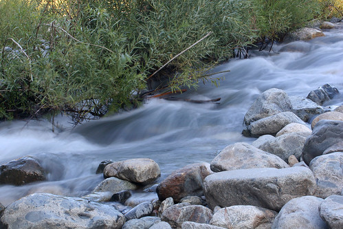
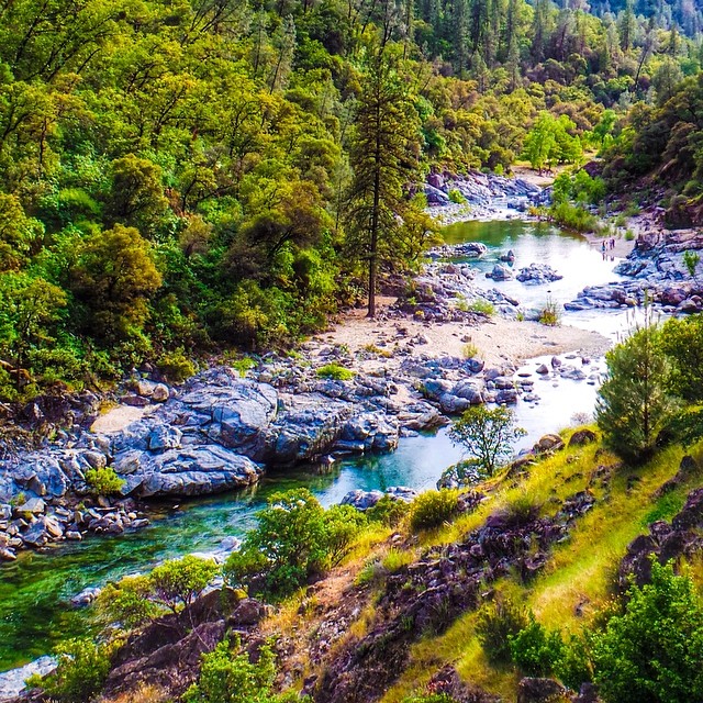
Yuba River 0177

South Yuba River Sunset
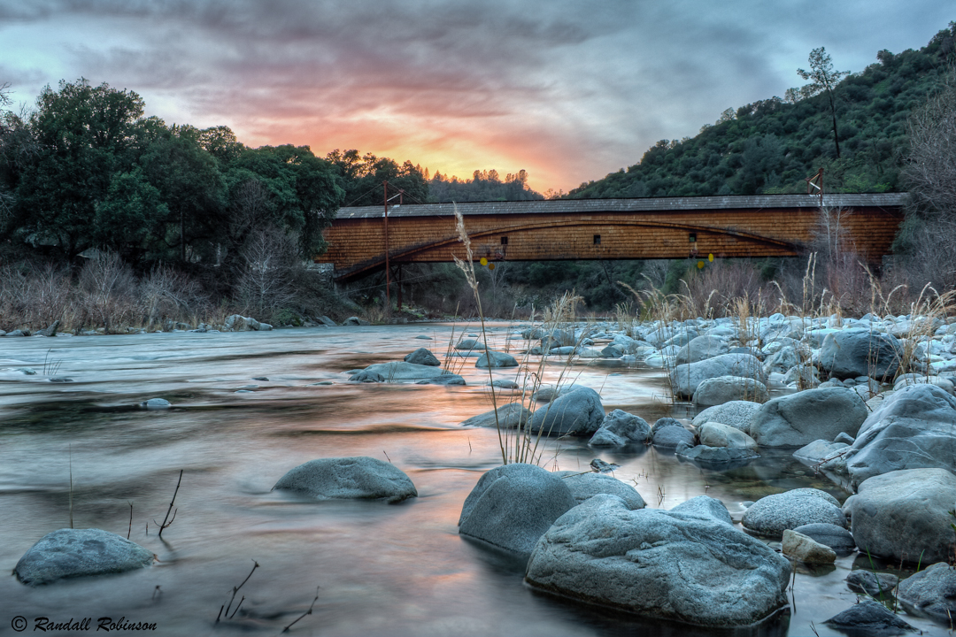
Bridgeport Covered Bridge
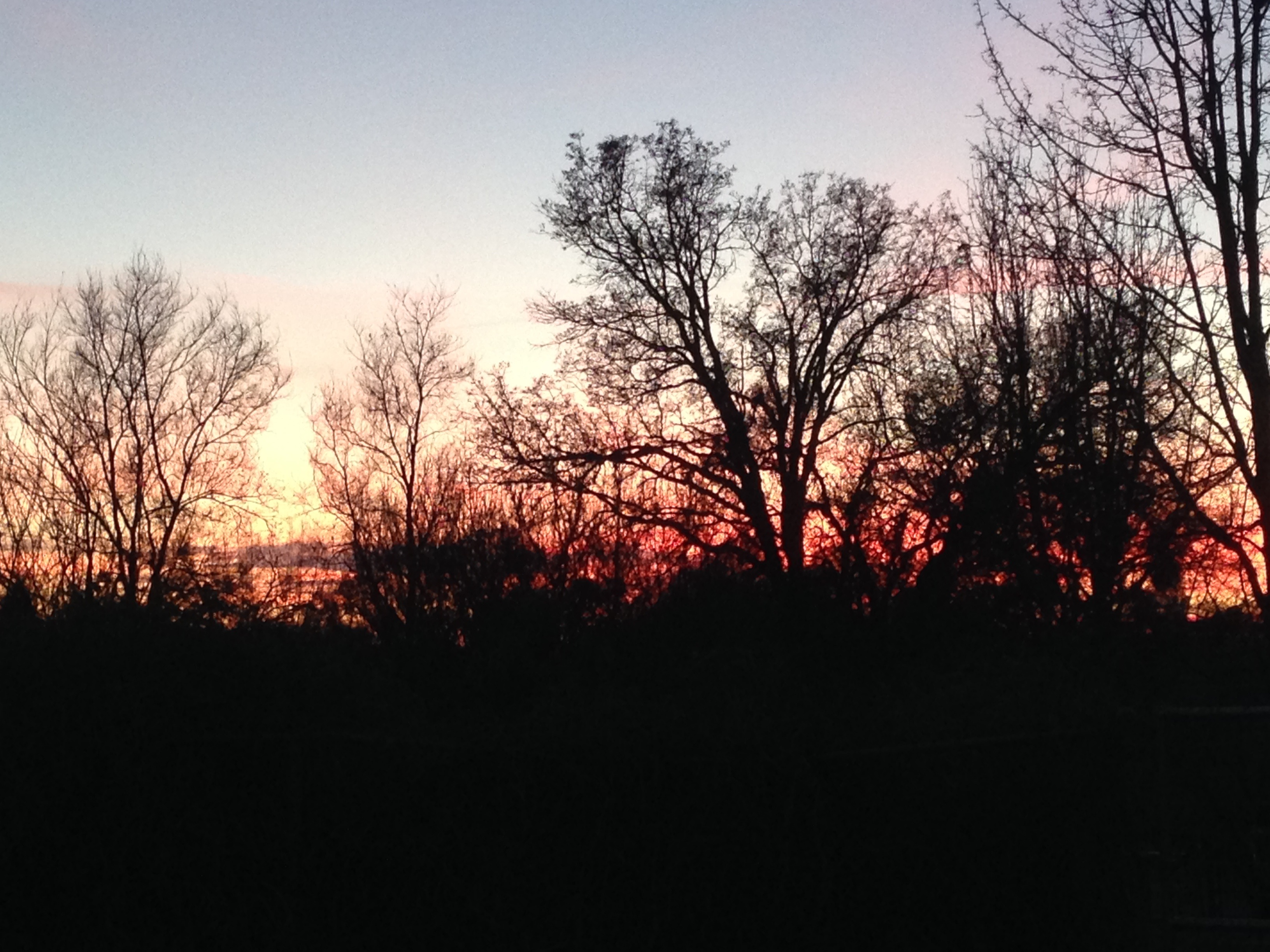
Sunset in Loma Rica
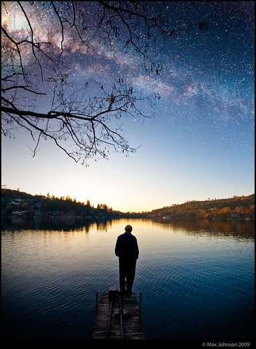
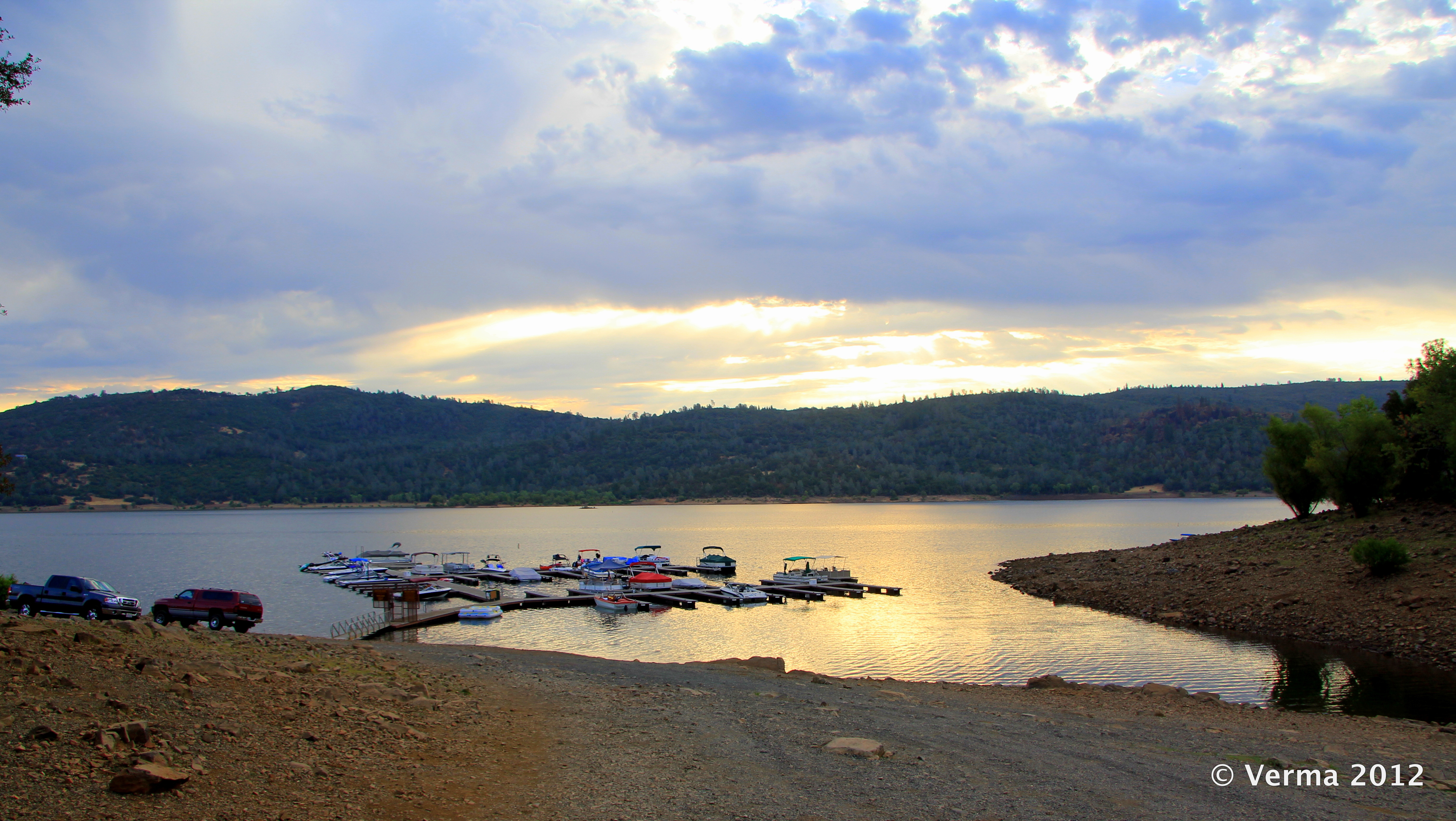
Lakeside With The Stars

The Longest Covered Wooden Bridge
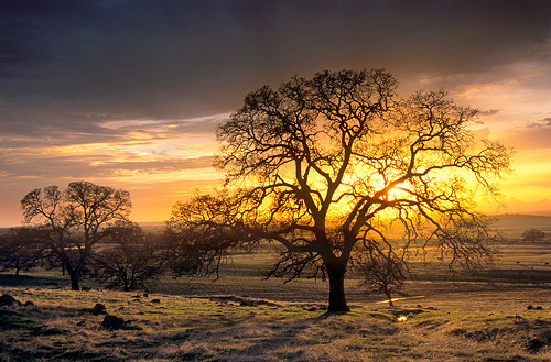
Sunset in the Sacramento Valley Foothills

Sunset over the Sutter Buttes
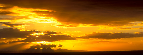
Sunset Over the Sutter Buttes
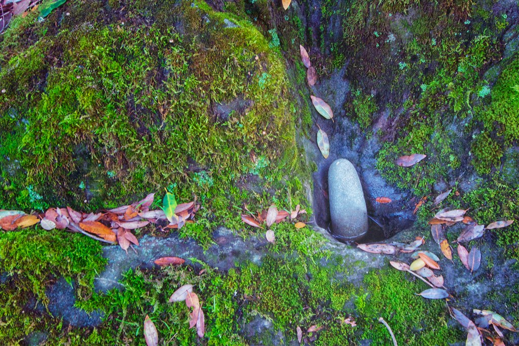
Leaves and Moss
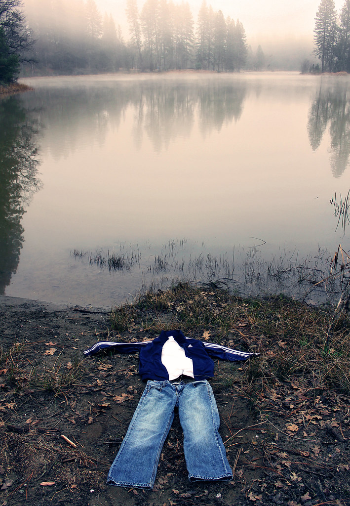
8/365 (Lake Francis)
“There's beauty in the silver singing river, There's beauty in the sunrise in the sky, But none of these and nothing else can match the beauty, That I remember in my true love's eyes” - Bob Dylan.

Morning Pines
Day 199 - 57/366 - Time for Reflection
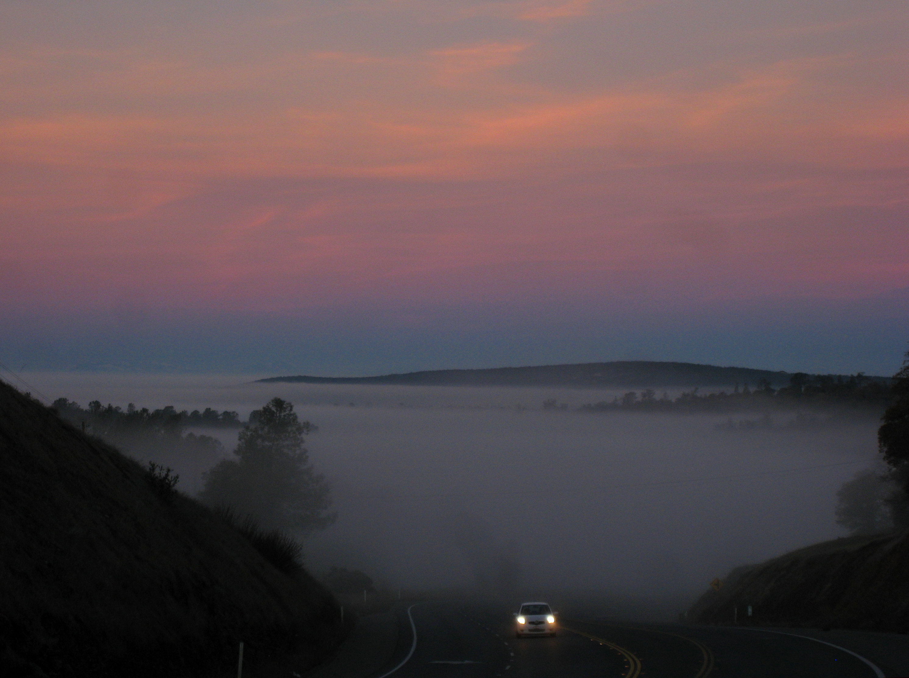
Valley of fog
Mapa de Collins Lake Rd, Browns Valley, CA, EE. UU.
Buscar otro lugar
Lugares cercanos
Cross Star Trail, Browns Valley, CA, EE. UU.
Los Verjeles Rd, Marysville, CA, EE. UU.
Dolan Harding Rd, Browns Valley, CA, EE. UU.
Sunnyside Ln, Oregon House, CA, EE. UU.
Michelle Way, California, EE. UU.
White Oak Ln, Browns Valley, CA, EE. UU.
White Oak Ln, Browns Valley, CA, EE. UU.
Fargo Way, Browns Valley, CA, EE. UU.
White Oak Ln, Browns Valley, CA, EE. UU.
Therese Trail, Browns Valley, CA, EE. UU.
Mourning Dove, Browns Valley, CA, EE. UU.
Therese Trail, Browns Valley, CA, EE. UU.
White Oak Ln, Browns Valley, CA, EE. UU.
Redhill Way, Browns Valley, CA, EE. UU.
Bayberry Ln, Browns Valley, CA, EE. UU.
Township Rd, Browns Valley, CA, EE. UU.
Oat Hills Rd, Browns Valley, CA, EE. UU.
Oat Hills Road, Oat Hills Rd, California, EE. UU.
Mountain View Terrace, Browns Valley, CA, EE. UU.
Loma Rica Rd, Marysville, CA, EE. UU.
Búsquedas recientes
- Horas de salida y puesta de sol de Steamboat Island Road Northwest, Olympia, WA, USA
- Horas de salida y puesta de sol de Kootenai Trail Rd, Bonners Ferry, ID, EE. UU.
- Horas de salida y puesta de sol de Mezzovico-Vira, Suiza
- Horas de salida y puesta de sol de Dawa Gengzha, PPF6+WGM, Baoxing County, Yaan, Sichuan, China
- Horas de salida y puesta de sol de Hickory Blvd, Bonita Springs, FL, USA
- Horas de salida y puesta de sol de Ogbosuware Health Centre, 2WWJ+4PJ, Lalagbene, Bayelsa, Nigeria
- Horas de salida y puesta de sol de Caesar Park Kenting, No. 6號, Kending Rd, Hengchun Township, Pingtung County, Taiwán
- Horas de salida y puesta de sol de Hadiya, Etiopía
- Horas de salida y puesta de sol de Hosaina, Etiopía
- Horas de salida y puesta de sol de Necochea, Provincia de Buenos Aires, Argentina