Horas de salida y puesta de sol de Cedar Drive, Cedar Dr, California, EE. UU.
Location: Estados Unidos > California > Condado de San Bernardino > Forest Falls >
Zona horaria:
America/Los_Angeles
Hora local:
2024-04-28 10:11:30
Longitud:
-116.9103793
Latitud:
34.0833771
Salida de sol de hoy:
05:59:11 AM
Puesta de sol de hoy:
07:30:32 PM
La duración del día hoy:
13h 31m 21s
Salida de sol de mañana:
05:58:09 AM
Puesta de sol de mañana:
07:31:19 PM
La duración del día mañana:
13h 33m 10s
Mostrar todas las fechas
| Fecha | Salida de sol | Puesta de sol | Duración del día |
|---|---|---|---|
| 01/01/2024 | 06:53:20 AM | 04:49:41 PM | 9h 56m 21s |
| 02/01/2024 | 06:53:30 AM | 04:50:27 PM | 9h 56m 57s |
| 03/01/2024 | 06:53:37 AM | 04:51:14 PM | 9h 57m 37s |
| 04/01/2024 | 06:53:43 AM | 04:52:02 PM | 9h 58m 19s |
| 05/01/2024 | 06:53:47 AM | 04:52:52 PM | 9h 59m 5s |
| 06/01/2024 | 06:53:49 AM | 04:53:42 PM | 9h 59m 53s |
| 07/01/2024 | 06:53:50 AM | 04:54:33 PM | 10h 0m 43s |
| 08/01/2024 | 06:53:48 AM | 04:55:25 PM | 10h 1m 37s |
| 09/01/2024 | 06:53:45 AM | 04:56:18 PM | 10h 2m 33s |
| 10/01/2024 | 06:53:39 AM | 04:57:11 PM | 10h 3m 32s |
| 11/01/2024 | 06:53:32 AM | 04:58:05 PM | 10h 4m 33s |
| 12/01/2024 | 06:53:23 AM | 04:59:00 PM | 10h 5m 37s |
| 13/01/2024 | 06:53:12 AM | 04:59:55 PM | 10h 6m 43s |
| 14/01/2024 | 06:52:59 AM | 05:00:51 PM | 10h 7m 52s |
| 15/01/2024 | 06:52:45 AM | 05:01:48 PM | 10h 9m 3s |
| 16/01/2024 | 06:52:28 AM | 05:02:44 PM | 10h 10m 16s |
| 17/01/2024 | 06:52:10 AM | 05:03:42 PM | 10h 11m 32s |
| 18/01/2024 | 06:51:50 AM | 05:04:39 PM | 10h 12m 49s |
| 19/01/2024 | 06:51:28 AM | 05:05:38 PM | 10h 14m 10s |
| 20/01/2024 | 06:51:04 AM | 05:06:36 PM | 10h 15m 32s |
| 21/01/2024 | 06:50:39 AM | 05:07:34 PM | 10h 16m 55s |
| 22/01/2024 | 06:50:11 AM | 05:08:33 PM | 10h 18m 22s |
| 23/01/2024 | 06:49:42 AM | 05:09:32 PM | 10h 19m 50s |
| 24/01/2024 | 06:49:12 AM | 05:10:31 PM | 10h 21m 19s |
| 25/01/2024 | 06:48:39 AM | 05:11:31 PM | 10h 22m 52s |
| 26/01/2024 | 06:48:05 AM | 05:12:30 PM | 10h 24m 25s |
| 27/01/2024 | 06:47:30 AM | 05:13:29 PM | 10h 25m 59s |
| 28/01/2024 | 06:46:52 AM | 05:14:29 PM | 10h 27m 37s |
| 29/01/2024 | 06:46:13 AM | 05:15:28 PM | 10h 29m 15s |
| 30/01/2024 | 06:45:33 AM | 05:16:28 PM | 10h 30m 55s |
| 31/01/2024 | 06:44:51 AM | 05:17:27 PM | 10h 32m 36s |
| 01/02/2024 | 06:44:07 AM | 05:18:26 PM | 10h 34m 19s |
| 02/02/2024 | 06:43:22 AM | 05:19:25 PM | 10h 36m 3s |
| 03/02/2024 | 06:42:35 AM | 05:20:24 PM | 10h 37m 49s |
| 04/02/2024 | 06:41:47 AM | 05:21:23 PM | 10h 39m 36s |
| 05/02/2024 | 06:40:58 AM | 05:22:21 PM | 10h 41m 23s |
| 06/02/2024 | 06:40:07 AM | 05:23:19 PM | 10h 43m 12s |
| 07/02/2024 | 06:39:14 AM | 05:24:17 PM | 10h 45m 3s |
| 08/02/2024 | 06:38:21 AM | 05:25:15 PM | 10h 46m 54s |
| 09/02/2024 | 06:37:26 AM | 05:26:13 PM | 10h 48m 47s |
| 10/02/2024 | 06:36:30 AM | 05:27:10 PM | 10h 50m 40s |
| 11/02/2024 | 06:35:32 AM | 05:28:07 PM | 10h 52m 35s |
| 12/02/2024 | 06:34:34 AM | 05:29:04 PM | 10h 54m 30s |
| 13/02/2024 | 06:33:34 AM | 05:30:00 PM | 10h 56m 26s |
| 14/02/2024 | 06:32:33 AM | 05:30:56 PM | 10h 58m 23s |
| 15/02/2024 | 06:31:31 AM | 05:31:52 PM | 11h 0m 21s |
| 16/02/2024 | 06:30:28 AM | 05:32:48 PM | 11h 2m 20s |
| 17/02/2024 | 06:29:23 AM | 05:33:43 PM | 11h 4m 20s |
| 18/02/2024 | 06:28:18 AM | 05:34:38 PM | 11h 6m 20s |
| 19/02/2024 | 06:27:12 AM | 05:35:32 PM | 11h 8m 20s |
| 20/02/2024 | 06:26:04 AM | 05:36:26 PM | 11h 10m 22s |
| 21/02/2024 | 06:24:56 AM | 05:37:20 PM | 11h 12m 24s |
| 22/02/2024 | 06:23:47 AM | 05:38:13 PM | 11h 14m 26s |
| 23/02/2024 | 06:22:37 AM | 05:39:06 PM | 11h 16m 29s |
| 24/02/2024 | 06:21:26 AM | 05:39:59 PM | 11h 18m 33s |
| 25/02/2024 | 06:20:15 AM | 05:40:51 PM | 11h 20m 36s |
| 26/02/2024 | 06:19:02 AM | 05:41:43 PM | 11h 22m 41s |
| 27/02/2024 | 06:17:49 AM | 05:42:35 PM | 11h 24m 46s |
| 28/02/2024 | 06:16:35 AM | 05:43:26 PM | 11h 26m 51s |
| 29/02/2024 | 06:15:21 AM | 05:44:17 PM | 11h 28m 56s |
| 01/03/2024 | 06:14:05 AM | 05:45:08 PM | 11h 31m 3s |
| 02/03/2024 | 06:12:49 AM | 05:45:58 PM | 11h 33m 9s |
| 03/03/2024 | 06:11:33 AM | 05:46:48 PM | 11h 35m 15s |
| 04/03/2024 | 06:10:16 AM | 05:47:38 PM | 11h 37m 22s |
| 05/03/2024 | 06:08:58 AM | 05:48:28 PM | 11h 39m 30s |
| 06/03/2024 | 06:07:40 AM | 05:49:17 PM | 11h 41m 37s |
| 07/03/2024 | 06:06:22 AM | 05:50:06 PM | 11h 43m 44s |
| 08/03/2024 | 06:05:03 AM | 05:50:54 PM | 11h 45m 51s |
| 09/03/2024 | 06:03:43 AM | 05:51:43 PM | 11h 48m 0s |
| 10/03/2024 | 07:02:27 AM | 06:52:29 PM | 11h 50m 2s |
| 11/03/2024 | 07:01:07 AM | 06:53:17 PM | 11h 52m 10s |
| 12/03/2024 | 06:59:46 AM | 06:54:05 PM | 11h 54m 19s |
| 13/03/2024 | 06:58:25 AM | 06:54:52 PM | 11h 56m 27s |
| 14/03/2024 | 06:57:04 AM | 06:55:39 PM | 11h 58m 35s |
| 15/03/2024 | 06:55:43 AM | 06:56:26 PM | 12h 0m 43s |
| 16/03/2024 | 06:54:22 AM | 06:57:13 PM | 12h 2m 51s |
| 17/03/2024 | 06:53:00 AM | 06:58:00 PM | 12h 5m 0s |
| 18/03/2024 | 06:51:38 AM | 06:58:47 PM | 12h 7m 9s |
| 19/03/2024 | 06:50:16 AM | 06:59:33 PM | 12h 9m 17s |
| 20/03/2024 | 06:48:54 AM | 07:00:19 PM | 12h 11m 25s |
| 21/03/2024 | 06:47:32 AM | 07:01:06 PM | 12h 13m 34s |
| 22/03/2024 | 06:46:10 AM | 07:01:52 PM | 12h 15m 42s |
| 23/03/2024 | 06:44:48 AM | 07:02:38 PM | 12h 17m 50s |
| 24/03/2024 | 06:43:26 AM | 07:03:23 PM | 12h 19m 57s |
| 25/03/2024 | 06:42:04 AM | 07:04:09 PM | 12h 22m 5s |
| 26/03/2024 | 06:40:42 AM | 07:04:55 PM | 12h 24m 13s |
| 27/03/2024 | 06:39:20 AM | 07:05:41 PM | 12h 26m 21s |
| 28/03/2024 | 06:37:59 AM | 07:06:26 PM | 12h 28m 27s |
| 29/03/2024 | 06:36:37 AM | 07:07:12 PM | 12h 30m 35s |
| 30/03/2024 | 06:35:16 AM | 07:07:57 PM | 12h 32m 41s |
| 31/03/2024 | 06:33:55 AM | 07:08:43 PM | 12h 34m 48s |
| 01/04/2024 | 06:32:34 AM | 07:09:28 PM | 12h 36m 54s |
| 02/04/2024 | 06:31:13 AM | 07:10:14 PM | 12h 39m 1s |
| 03/04/2024 | 06:29:53 AM | 07:10:59 PM | 12h 41m 6s |
| 04/04/2024 | 06:28:33 AM | 07:11:45 PM | 12h 43m 12s |
| 05/04/2024 | 06:27:14 AM | 07:12:30 PM | 12h 45m 16s |
| 06/04/2024 | 06:25:55 AM | 07:13:16 PM | 12h 47m 21s |
| 07/04/2024 | 06:24:36 AM | 07:14:02 PM | 12h 49m 26s |
| 08/04/2024 | 06:23:18 AM | 07:14:47 PM | 12h 51m 29s |
| 09/04/2024 | 06:22:00 AM | 07:15:33 PM | 12h 53m 33s |
| 10/04/2024 | 06:20:43 AM | 07:16:19 PM | 12h 55m 36s |
| 11/04/2024 | 06:19:26 AM | 07:17:05 PM | 12h 57m 39s |
| 12/04/2024 | 06:18:10 AM | 07:17:51 PM | 12h 59m 41s |
| 13/04/2024 | 06:16:55 AM | 07:18:37 PM | 13h 1m 42s |
| 14/04/2024 | 06:15:40 AM | 07:19:23 PM | 13h 3m 43s |
| 15/04/2024 | 06:14:26 AM | 07:20:09 PM | 13h 5m 43s |
| 16/04/2024 | 06:13:12 AM | 07:20:55 PM | 13h 7m 43s |
| 17/04/2024 | 06:12:00 AM | 07:21:41 PM | 13h 9m 41s |
| 18/04/2024 | 06:10:48 AM | 07:22:28 PM | 13h 11m 40s |
| 19/04/2024 | 06:09:36 AM | 07:23:14 PM | 13h 13m 38s |
| 20/04/2024 | 06:08:26 AM | 07:24:01 PM | 13h 15m 35s |
| 21/04/2024 | 06:07:16 AM | 07:24:47 PM | 13h 17m 31s |
| 22/04/2024 | 06:06:08 AM | 07:25:34 PM | 13h 19m 26s |
| 23/04/2024 | 06:05:00 AM | 07:26:21 PM | 13h 21m 21s |
| 24/04/2024 | 06:03:53 AM | 07:27:07 PM | 13h 23m 14s |
| 25/04/2024 | 06:02:47 AM | 07:27:54 PM | 13h 25m 7s |
| 26/04/2024 | 06:01:42 AM | 07:28:41 PM | 13h 26m 59s |
| 27/04/2024 | 06:00:37 AM | 07:29:28 PM | 13h 28m 51s |
| 28/04/2024 | 05:59:34 AM | 07:30:15 PM | 13h 30m 41s |
| 29/04/2024 | 05:58:32 AM | 07:31:02 PM | 13h 32m 30s |
| 30/04/2024 | 05:57:31 AM | 07:31:49 PM | 13h 34m 18s |
| 01/05/2024 | 05:56:32 AM | 07:32:35 PM | 13h 36m 3s |
| 02/05/2024 | 05:55:33 AM | 07:33:22 PM | 13h 37m 49s |
| 03/05/2024 | 05:54:35 AM | 07:34:09 PM | 13h 39m 34s |
| 04/05/2024 | 05:53:39 AM | 07:34:56 PM | 13h 41m 17s |
| 05/05/2024 | 05:52:44 AM | 07:35:43 PM | 13h 42m 59s |
| 06/05/2024 | 05:51:50 AM | 07:36:29 PM | 13h 44m 39s |
| 07/05/2024 | 05:50:57 AM | 07:37:16 PM | 13h 46m 19s |
| 08/05/2024 | 05:50:06 AM | 07:38:02 PM | 13h 47m 56s |
| 09/05/2024 | 05:49:15 AM | 07:38:48 PM | 13h 49m 33s |
| 10/05/2024 | 05:48:27 AM | 07:39:34 PM | 13h 51m 7s |
| 11/05/2024 | 05:47:39 AM | 07:40:20 PM | 13h 52m 41s |
| 12/05/2024 | 05:46:53 AM | 07:41:06 PM | 13h 54m 13s |
| 13/05/2024 | 05:46:08 AM | 07:41:51 PM | 13h 55m 43s |
| 14/05/2024 | 05:45:25 AM | 07:42:36 PM | 13h 57m 11s |
| 15/05/2024 | 05:44:43 AM | 07:43:21 PM | 13h 58m 38s |
| 16/05/2024 | 05:44:02 AM | 07:44:05 PM | 14h 0m 3s |
| 17/05/2024 | 05:43:23 AM | 07:44:50 PM | 14h 1m 27s |
| 18/05/2024 | 05:42:46 AM | 07:45:33 PM | 14h 2m 47s |
| 19/05/2024 | 05:42:10 AM | 07:46:17 PM | 14h 4m 7s |
| 20/05/2024 | 05:41:35 AM | 07:47:00 PM | 14h 5m 25s |
| 21/05/2024 | 05:41:02 AM | 07:47:42 PM | 14h 6m 40s |
| 22/05/2024 | 05:40:30 AM | 07:48:24 PM | 14h 7m 54s |
| 23/05/2024 | 05:40:01 AM | 07:49:05 PM | 14h 9m 4s |
| 24/05/2024 | 05:39:32 AM | 07:49:46 PM | 14h 10m 14s |
| 25/05/2024 | 05:39:05 AM | 07:50:26 PM | 14h 11m 21s |
| 26/05/2024 | 05:38:40 AM | 07:51:06 PM | 14h 12m 26s |
| 27/05/2024 | 05:38:16 AM | 07:51:45 PM | 14h 13m 29s |
| 28/05/2024 | 05:37:54 AM | 07:52:23 PM | 14h 14m 29s |
| 29/05/2024 | 05:37:34 AM | 07:53:01 PM | 14h 15m 27s |
| 30/05/2024 | 05:37:15 AM | 07:53:37 PM | 14h 16m 22s |
| 31/05/2024 | 05:36:58 AM | 07:54:13 PM | 14h 17m 15s |
| 01/06/2024 | 05:36:42 AM | 07:54:48 PM | 14h 18m 6s |
| 02/06/2024 | 05:36:28 AM | 07:55:22 PM | 14h 18m 54s |
| 03/06/2024 | 05:36:15 AM | 07:55:56 PM | 14h 19m 41s |
| 04/06/2024 | 05:36:04 AM | 07:56:28 PM | 14h 20m 24s |
| 05/06/2024 | 05:35:55 AM | 07:56:59 PM | 14h 21m 4s |
| 06/06/2024 | 05:35:47 AM | 07:57:30 PM | 14h 21m 43s |
| 07/06/2024 | 05:35:41 AM | 07:57:59 PM | 14h 22m 18s |
| 08/06/2024 | 05:35:37 AM | 07:58:27 PM | 14h 22m 50s |
| 09/06/2024 | 05:35:34 AM | 07:58:54 PM | 14h 23m 20s |
| 10/06/2024 | 05:35:33 AM | 07:59:20 PM | 14h 23m 47s |
| 11/06/2024 | 05:35:33 AM | 07:59:45 PM | 14h 24m 12s |
| 12/06/2024 | 05:35:35 AM | 08:00:08 PM | 14h 24m 33s |
| 13/06/2024 | 05:35:38 AM | 08:00:30 PM | 14h 24m 52s |
| 14/06/2024 | 05:35:43 AM | 08:00:51 PM | 14h 25m 8s |
| 15/06/2024 | 05:35:49 AM | 08:01:11 PM | 14h 25m 22s |
| 16/06/2024 | 05:35:57 AM | 08:01:29 PM | 14h 25m 32s |
| 17/06/2024 | 05:36:06 AM | 08:01:46 PM | 14h 25m 40s |
| 18/06/2024 | 05:36:16 AM | 08:02:02 PM | 14h 25m 46s |
| 19/06/2024 | 05:36:29 AM | 08:02:16 PM | 14h 25m 47s |
| 20/06/2024 | 05:36:42 AM | 08:02:29 PM | 14h 25m 47s |
| 21/06/2024 | 05:36:57 AM | 08:02:40 PM | 14h 25m 43s |
| 22/06/2024 | 05:37:13 AM | 08:02:50 PM | 14h 25m 37s |
| 23/06/2024 | 05:37:30 AM | 08:02:58 PM | 14h 25m 28s |
| 24/06/2024 | 05:37:49 AM | 08:03:05 PM | 14h 25m 16s |
| 25/06/2024 | 05:38:09 AM | 08:03:10 PM | 14h 25m 1s |
| 26/06/2024 | 05:38:30 AM | 08:03:13 PM | 14h 24m 43s |
| 27/06/2024 | 05:38:53 AM | 08:03:15 PM | 14h 24m 22s |
| 28/06/2024 | 05:39:16 AM | 08:03:16 PM | 14h 24m 0s |
| 29/06/2024 | 05:39:41 AM | 08:03:15 PM | 14h 23m 34s |
| 30/06/2024 | 05:40:07 AM | 08:03:12 PM | 14h 23m 5s |
| 01/07/2024 | 05:40:33 AM | 08:03:08 PM | 14h 22m 35s |
| 02/07/2024 | 05:41:01 AM | 08:03:01 PM | 14h 22m 0s |
| 03/07/2024 | 05:41:30 AM | 08:02:54 PM | 14h 21m 24s |
| 04/07/2024 | 05:42:00 AM | 08:02:45 PM | 14h 20m 45s |
| 05/07/2024 | 05:42:31 AM | 08:02:34 PM | 14h 20m 3s |
| 06/07/2024 | 05:43:02 AM | 08:02:21 PM | 14h 19m 19s |
| 07/07/2024 | 05:43:35 AM | 08:02:07 PM | 14h 18m 32s |
| 08/07/2024 | 05:44:08 AM | 08:01:51 PM | 14h 17m 43s |
| 09/07/2024 | 05:44:42 AM | 08:01:33 PM | 14h 16m 51s |
| 10/07/2024 | 05:45:17 AM | 08:01:14 PM | 14h 15m 57s |
| 11/07/2024 | 05:45:53 AM | 08:00:53 PM | 14h 15m 0s |
| 12/07/2024 | 05:46:29 AM | 08:00:31 PM | 14h 14m 2s |
| 13/07/2024 | 05:47:06 AM | 08:00:07 PM | 14h 13m 1s |
| 14/07/2024 | 05:47:44 AM | 07:59:41 PM | 14h 11m 57s |
| 15/07/2024 | 05:48:22 AM | 07:59:14 PM | 14h 10m 52s |
| 16/07/2024 | 05:49:00 AM | 07:58:45 PM | 14h 9m 45s |
| 17/07/2024 | 05:49:40 AM | 07:58:15 PM | 14h 8m 35s |
| 18/07/2024 | 05:50:19 AM | 07:57:43 PM | 14h 7m 24s |
| 19/07/2024 | 05:50:59 AM | 07:57:09 PM | 14h 6m 10s |
| 20/07/2024 | 05:51:40 AM | 07:56:34 PM | 14h 4m 54s |
| 21/07/2024 | 05:52:21 AM | 07:55:57 PM | 14h 3m 36s |
| 22/07/2024 | 05:53:02 AM | 07:55:19 PM | 14h 2m 17s |
| 23/07/2024 | 05:53:44 AM | 07:54:39 PM | 14h 0m 55s |
| 24/07/2024 | 05:54:26 AM | 07:53:58 PM | 13h 59m 32s |
| 25/07/2024 | 05:55:08 AM | 07:53:15 PM | 13h 58m 7s |
| 26/07/2024 | 05:55:50 AM | 07:52:31 PM | 13h 56m 41s |
| 27/07/2024 | 05:56:33 AM | 07:51:45 PM | 13h 55m 12s |
| 28/07/2024 | 05:57:16 AM | 07:50:58 PM | 13h 53m 42s |
| 29/07/2024 | 05:57:59 AM | 07:50:10 PM | 13h 52m 11s |
| 30/07/2024 | 05:58:42 AM | 07:49:20 PM | 13h 50m 38s |
| 31/07/2024 | 05:59:25 AM | 07:48:29 PM | 13h 49m 4s |
| 01/08/2024 | 06:00:09 AM | 07:47:37 PM | 13h 47m 28s |
| 02/08/2024 | 06:00:52 AM | 07:46:43 PM | 13h 45m 51s |
| 03/08/2024 | 06:01:36 AM | 07:45:48 PM | 13h 44m 12s |
| 04/08/2024 | 06:02:19 AM | 07:44:52 PM | 13h 42m 33s |
| 05/08/2024 | 06:03:03 AM | 07:43:54 PM | 13h 40m 51s |
| 06/08/2024 | 06:03:47 AM | 07:42:56 PM | 13h 39m 9s |
| 07/08/2024 | 06:04:30 AM | 07:41:56 PM | 13h 37m 26s |
| 08/08/2024 | 06:05:14 AM | 07:40:55 PM | 13h 35m 41s |
| 09/08/2024 | 06:05:57 AM | 07:39:53 PM | 13h 33m 56s |
| 10/08/2024 | 06:06:41 AM | 07:38:49 PM | 13h 32m 8s |
| 11/08/2024 | 06:07:25 AM | 07:37:45 PM | 13h 30m 20s |
| 12/08/2024 | 06:08:08 AM | 07:36:40 PM | 13h 28m 32s |
| 13/08/2024 | 06:08:51 AM | 07:35:34 PM | 13h 26m 43s |
| 14/08/2024 | 06:09:35 AM | 07:34:26 PM | 13h 24m 51s |
| 15/08/2024 | 06:10:18 AM | 07:33:18 PM | 13h 23m 0s |
| 16/08/2024 | 06:11:01 AM | 07:32:09 PM | 13h 21m 8s |
| 17/08/2024 | 06:11:44 AM | 07:30:59 PM | 13h 19m 15s |
| 18/08/2024 | 06:12:27 AM | 07:29:48 PM | 13h 17m 21s |
| 19/08/2024 | 06:13:10 AM | 07:28:36 PM | 13h 15m 26s |
| 20/08/2024 | 06:13:53 AM | 07:27:23 PM | 13h 13m 30s |
| 21/08/2024 | 06:14:36 AM | 07:26:09 PM | 13h 11m 33s |
| 22/08/2024 | 06:15:18 AM | 07:24:55 PM | 13h 9m 37s |
| 23/08/2024 | 06:16:01 AM | 07:23:40 PM | 13h 7m 39s |
| 24/08/2024 | 06:16:43 AM | 07:22:24 PM | 13h 5m 41s |
| 25/08/2024 | 06:17:25 AM | 07:21:08 PM | 13h 3m 43s |
| 26/08/2024 | 06:18:07 AM | 07:19:51 PM | 13h 1m 44s |
| 27/08/2024 | 06:18:49 AM | 07:18:33 PM | 12h 59m 44s |
| 28/08/2024 | 06:19:31 AM | 07:17:15 PM | 12h 57m 44s |
| 29/08/2024 | 06:20:13 AM | 07:15:56 PM | 12h 55m 43s |
| 30/08/2024 | 06:20:55 AM | 07:14:37 PM | 12h 53m 42s |
| 31/08/2024 | 06:21:37 AM | 07:13:17 PM | 12h 51m 40s |
| 01/09/2024 | 06:22:18 AM | 07:11:56 PM | 12h 49m 38s |
| 02/09/2024 | 06:23:00 AM | 07:10:35 PM | 12h 47m 35s |
| 03/09/2024 | 06:23:41 AM | 07:09:14 PM | 12h 45m 33s |
| 04/09/2024 | 06:24:23 AM | 07:07:52 PM | 12h 43m 29s |
| 05/09/2024 | 06:25:04 AM | 07:06:30 PM | 12h 41m 26s |
| 06/09/2024 | 06:25:45 AM | 07:05:08 PM | 12h 39m 23s |
| 07/09/2024 | 06:26:27 AM | 07:03:45 PM | 12h 37m 18s |
| 08/09/2024 | 06:27:08 AM | 07:02:22 PM | 12h 35m 14s |
| 09/09/2024 | 06:27:49 AM | 07:00:58 PM | 12h 33m 9s |
| 10/09/2024 | 06:28:31 AM | 06:59:35 PM | 12h 31m 4s |
| 11/09/2024 | 06:29:12 AM | 06:58:11 PM | 12h 28m 59s |
| 12/09/2024 | 06:29:53 AM | 06:56:47 PM | 12h 26m 54s |
| 13/09/2024 | 06:30:35 AM | 06:55:23 PM | 12h 24m 48s |
| 14/09/2024 | 06:31:16 AM | 06:53:59 PM | 12h 22m 43s |
| 15/09/2024 | 06:31:57 AM | 06:52:34 PM | 12h 20m 37s |
| 16/09/2024 | 06:32:39 AM | 06:51:10 PM | 12h 18m 31s |
| 17/09/2024 | 06:33:20 AM | 06:49:45 PM | 12h 16m 25s |
| 18/09/2024 | 06:34:02 AM | 06:48:21 PM | 12h 14m 19s |
| 19/09/2024 | 06:34:44 AM | 06:46:57 PM | 12h 12m 13s |
| 20/09/2024 | 06:35:26 AM | 06:45:32 PM | 12h 10m 6s |
| 21/09/2024 | 06:36:08 AM | 06:44:08 PM | 12h 8m 0s |
| 22/09/2024 | 06:36:50 AM | 06:42:44 PM | 12h 5m 54s |
| 23/09/2024 | 06:37:32 AM | 06:41:20 PM | 12h 3m 48s |
| 24/09/2024 | 06:38:15 AM | 06:39:56 PM | 12h 1m 41s |
| 25/09/2024 | 06:38:58 AM | 06:38:32 PM | 11h 59m 34s |
| 26/09/2024 | 06:39:40 AM | 06:37:08 PM | 11h 57m 28s |
| 27/09/2024 | 06:40:23 AM | 06:35:45 PM | 11h 55m 22s |
| 28/09/2024 | 06:41:07 AM | 06:34:22 PM | 11h 53m 15s |
| 29/09/2024 | 06:41:50 AM | 06:32:59 PM | 11h 51m 9s |
| 30/09/2024 | 06:42:34 AM | 06:31:37 PM | 11h 49m 3s |
| 01/10/2024 | 06:43:18 AM | 06:30:15 PM | 11h 46m 57s |
| 02/10/2024 | 06:44:02 AM | 06:28:54 PM | 11h 44m 52s |
| 03/10/2024 | 06:44:47 AM | 06:27:32 PM | 11h 42m 45s |
| 04/10/2024 | 06:45:31 AM | 06:26:12 PM | 11h 40m 41s |
| 05/10/2024 | 06:46:16 AM | 06:24:51 PM | 11h 38m 35s |
| 06/10/2024 | 06:47:02 AM | 06:23:32 PM | 11h 36m 30s |
| 07/10/2024 | 06:47:48 AM | 06:22:13 PM | 11h 34m 25s |
| 08/10/2024 | 06:48:34 AM | 06:20:54 PM | 11h 32m 20s |
| 09/10/2024 | 06:49:20 AM | 06:19:36 PM | 11h 30m 16s |
| 10/10/2024 | 06:50:06 AM | 06:18:19 PM | 11h 28m 13s |
| 11/10/2024 | 06:50:53 AM | 06:17:02 PM | 11h 26m 9s |
| 12/10/2024 | 06:51:41 AM | 06:15:46 PM | 11h 24m 5s |
| 13/10/2024 | 06:52:28 AM | 06:14:31 PM | 11h 22m 3s |
| 14/10/2024 | 06:53:17 AM | 06:13:16 PM | 11h 19m 59s |
| 15/10/2024 | 06:54:05 AM | 06:12:02 PM | 11h 17m 57s |
| 16/10/2024 | 06:54:54 AM | 06:10:50 PM | 11h 15m 56s |
| 17/10/2024 | 06:55:43 AM | 06:09:37 PM | 11h 13m 54s |
| 18/10/2024 | 06:56:32 AM | 06:08:26 PM | 11h 11m 54s |
| 19/10/2024 | 06:57:22 AM | 06:07:16 PM | 11h 9m 54s |
| 20/10/2024 | 06:58:12 AM | 06:06:07 PM | 11h 7m 55s |
| 21/10/2024 | 06:59:03 AM | 06:04:58 PM | 11h 5m 55s |
| 22/10/2024 | 06:59:54 AM | 06:03:51 PM | 11h 3m 57s |
| 23/10/2024 | 07:00:45 AM | 06:02:45 PM | 11h 2m 0s |
| 24/10/2024 | 07:01:37 AM | 06:01:39 PM | 11h 0m 2s |
| 25/10/2024 | 07:02:29 AM | 06:00:35 PM | 10h 58m 6s |
| 26/10/2024 | 07:03:22 AM | 05:59:32 PM | 10h 56m 10s |
| 27/10/2024 | 07:04:15 AM | 05:58:30 PM | 10h 54m 15s |
| 28/10/2024 | 07:05:08 AM | 05:57:30 PM | 10h 52m 22s |
| 29/10/2024 | 07:06:01 AM | 05:56:30 PM | 10h 50m 29s |
| 30/10/2024 | 07:06:55 AM | 05:55:32 PM | 10h 48m 37s |
| 31/10/2024 | 07:07:49 AM | 05:54:35 PM | 10h 46m 46s |
| 01/11/2024 | 07:08:44 AM | 05:53:39 PM | 10h 44m 55s |
| 02/11/2024 | 07:09:38 AM | 05:52:45 PM | 10h 43m 7s |
| 03/11/2024 | 06:10:36 AM | 04:51:50 PM | 10h 41m 14s |
| 04/11/2024 | 06:11:31 AM | 04:50:59 PM | 10h 39m 28s |
| 05/11/2024 | 06:12:26 AM | 04:50:08 PM | 10h 37m 42s |
| 06/11/2024 | 06:13:22 AM | 04:49:20 PM | 10h 35m 58s |
| 07/11/2024 | 06:14:18 AM | 04:48:33 PM | 10h 34m 15s |
| 08/11/2024 | 06:15:14 AM | 04:47:47 PM | 10h 32m 33s |
| 09/11/2024 | 06:16:10 AM | 04:47:03 PM | 10h 30m 53s |
| 10/11/2024 | 06:17:07 AM | 04:46:21 PM | 10h 29m 14s |
| 11/11/2024 | 06:18:03 AM | 04:45:40 PM | 10h 27m 37s |
| 12/11/2024 | 06:19:00 AM | 04:45:01 PM | 10h 26m 1s |
| 13/11/2024 | 06:19:56 AM | 04:44:23 PM | 10h 24m 27s |
| 14/11/2024 | 06:20:53 AM | 04:43:47 PM | 10h 22m 54s |
| 15/11/2024 | 06:21:50 AM | 04:43:13 PM | 10h 21m 23s |
| 16/11/2024 | 06:22:46 AM | 04:42:40 PM | 10h 19m 54s |
| 17/11/2024 | 06:23:43 AM | 04:42:09 PM | 10h 18m 26s |
| 18/11/2024 | 06:24:39 AM | 04:41:40 PM | 10h 17m 1s |
| 19/11/2024 | 06:25:36 AM | 04:41:13 PM | 10h 15m 37s |
| 20/11/2024 | 06:26:32 AM | 04:40:48 PM | 10h 14m 16s |
| 21/11/2024 | 06:27:27 AM | 04:40:24 PM | 10h 12m 57s |
| 22/11/2024 | 06:28:23 AM | 04:40:02 PM | 10h 11m 39s |
| 23/11/2024 | 06:29:18 AM | 04:39:42 PM | 10h 10m 24s |
| 24/11/2024 | 06:30:13 AM | 04:39:24 PM | 10h 9m 11s |
| 25/11/2024 | 06:31:08 AM | 04:39:08 PM | 10h 8m 0s |
| 26/11/2024 | 06:32:02 AM | 04:38:53 PM | 10h 6m 51s |
| 27/11/2024 | 06:32:56 AM | 04:38:41 PM | 10h 5m 45s |
| 28/11/2024 | 06:33:49 AM | 04:38:30 PM | 10h 4m 41s |
| 29/11/2024 | 06:34:41 AM | 04:38:21 PM | 10h 3m 40s |
| 30/11/2024 | 06:35:33 AM | 04:38:14 PM | 10h 2m 41s |
| 01/12/2024 | 06:36:25 AM | 04:38:10 PM | 10h 1m 45s |
| 02/12/2024 | 06:37:15 AM | 04:38:07 PM | 10h 0m 52s |
| 03/12/2024 | 06:38:05 AM | 04:38:05 PM | 10h 0m 0s |
| 04/12/2024 | 06:38:54 AM | 04:38:06 PM | 9h 59m 12s |
| 05/12/2024 | 06:39:42 AM | 04:38:09 PM | 9h 58m 27s |
| 06/12/2024 | 06:40:30 AM | 04:38:14 PM | 9h 57m 44s |
| 07/12/2024 | 06:41:16 AM | 04:38:20 PM | 9h 57m 4s |
| 08/12/2024 | 06:42:02 AM | 04:38:28 PM | 9h 56m 26s |
| 09/12/2024 | 06:42:46 AM | 04:38:39 PM | 9h 55m 53s |
| 10/12/2024 | 06:43:29 AM | 04:38:51 PM | 9h 55m 22s |
| 11/12/2024 | 06:44:11 AM | 04:39:05 PM | 9h 54m 54s |
| 12/12/2024 | 06:44:52 AM | 04:39:20 PM | 9h 54m 28s |
| 13/12/2024 | 06:45:32 AM | 04:39:38 PM | 9h 54m 6s |
| 14/12/2024 | 06:46:11 AM | 04:39:57 PM | 9h 53m 46s |
| 15/12/2024 | 06:46:48 AM | 04:40:18 PM | 9h 53m 30s |
| 16/12/2024 | 06:47:24 AM | 04:40:41 PM | 9h 53m 17s |
| 17/12/2024 | 06:47:59 AM | 04:41:06 PM | 9h 53m 7s |
| 18/12/2024 | 06:48:32 AM | 04:41:32 PM | 9h 53m 0s |
| 19/12/2024 | 06:49:03 AM | 04:42:00 PM | 9h 52m 57s |
| 20/12/2024 | 06:49:33 AM | 04:42:29 PM | 9h 52m 56s |
| 21/12/2024 | 06:50:02 AM | 04:43:00 PM | 9h 52m 58s |
| 22/12/2024 | 06:50:29 AM | 04:43:33 PM | 9h 53m 4s |
| 23/12/2024 | 06:50:55 AM | 04:44:07 PM | 9h 53m 12s |
| 24/12/2024 | 06:51:18 AM | 04:44:43 PM | 9h 53m 25s |
| 25/12/2024 | 06:51:41 AM | 04:45:20 PM | 9h 53m 39s |
| 26/12/2024 | 06:52:01 AM | 04:45:58 PM | 9h 53m 57s |
| 27/12/2024 | 06:52:20 AM | 04:46:38 PM | 9h 54m 18s |
| 28/12/2024 | 06:52:37 AM | 04:47:19 PM | 9h 54m 42s |
| 29/12/2024 | 06:52:52 AM | 04:48:01 PM | 9h 55m 9s |
| 30/12/2024 | 06:53:06 AM | 04:48:45 PM | 9h 55m 39s |
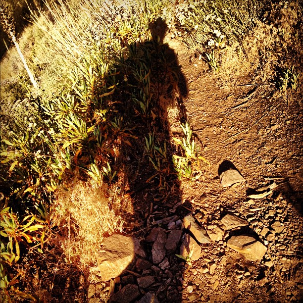
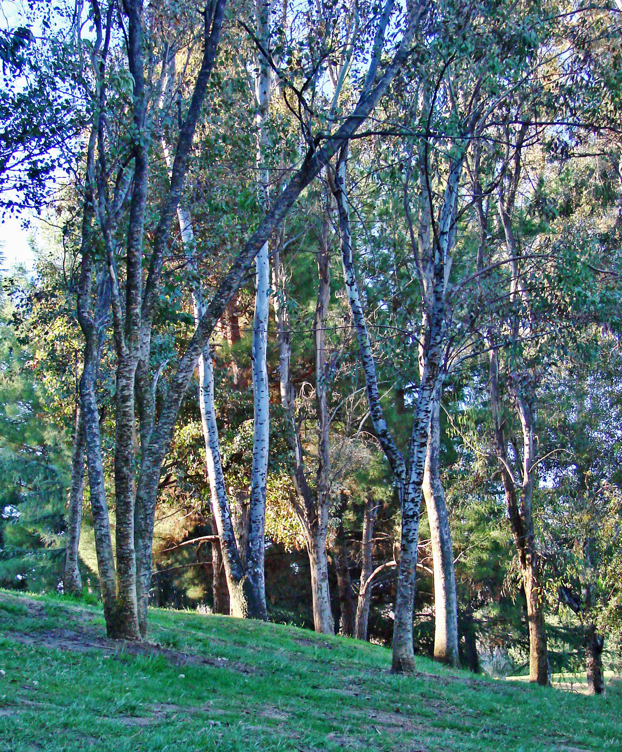
Fotos

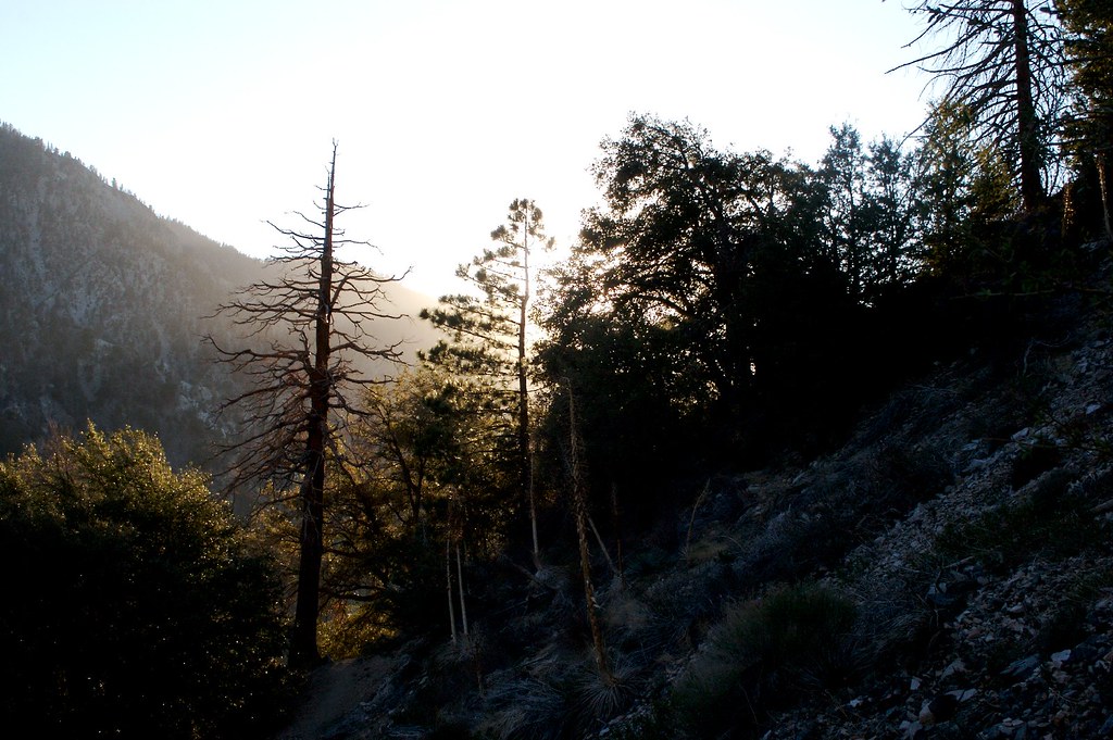
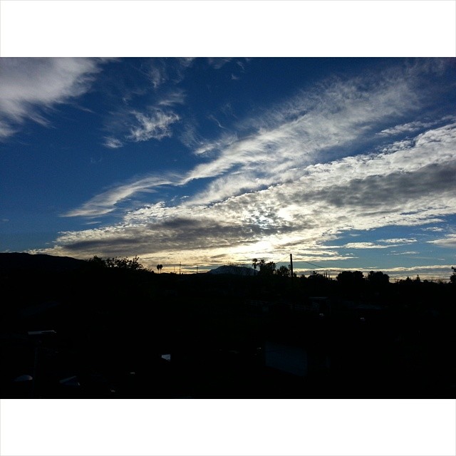
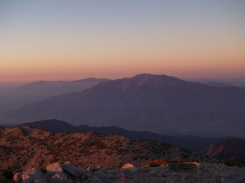
On #sangorgonio overlooking #sanjacinto #nofilter #sunset #hiking #mountains

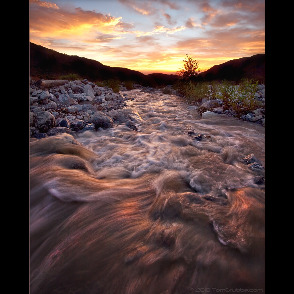
Twilight Rocks and Stream

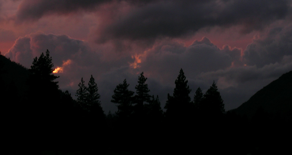
Mill Creek Storm Sunset

Mill Creek and Storm III
Mill Creek Heat

Bastille Day, 2014

2010-01-08 16.59.42
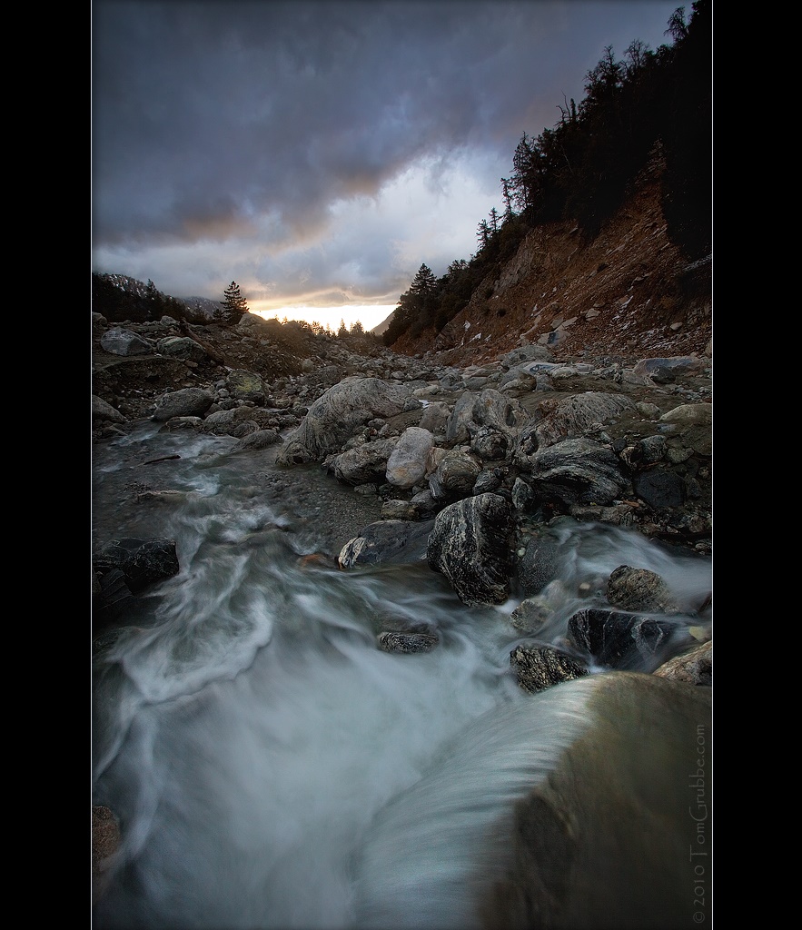
Mill Creek and Storm II
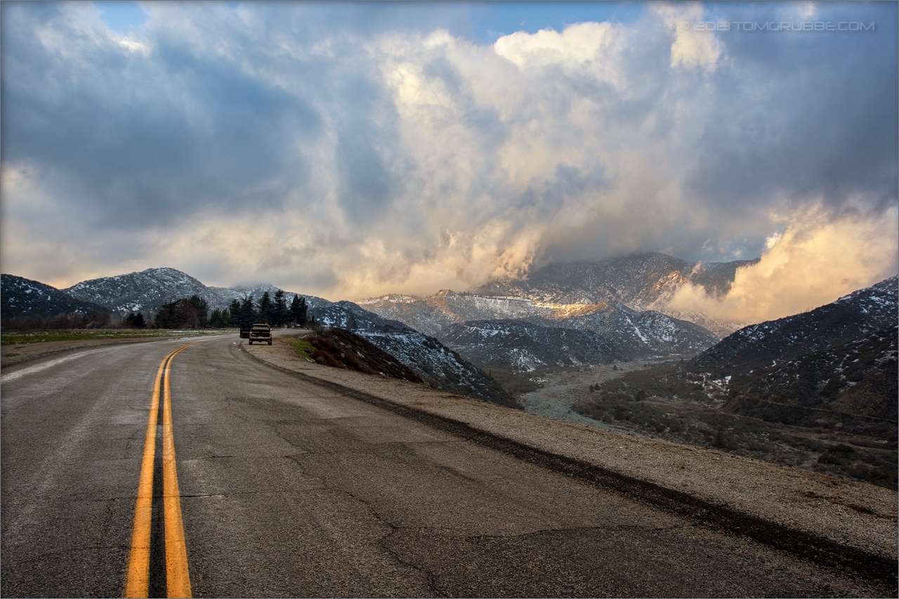
Banning Road
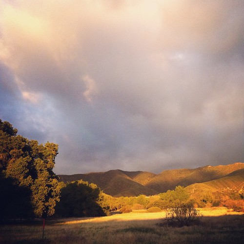
This place is a little bit like home. Oak trees and fields! #hiking #photowalkwithme
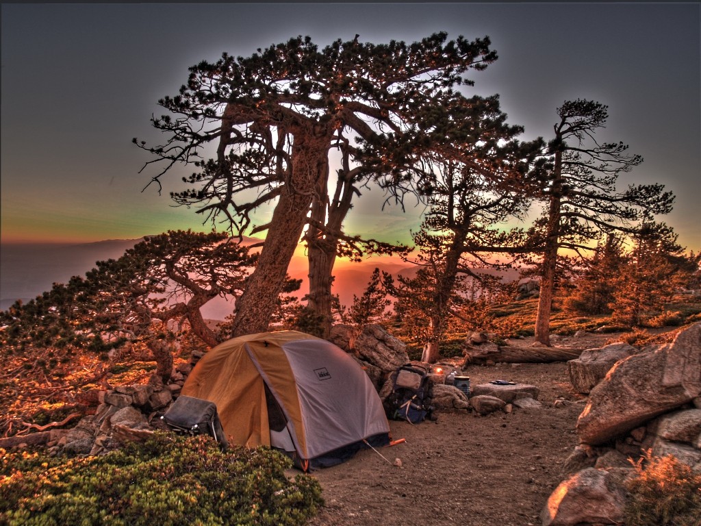
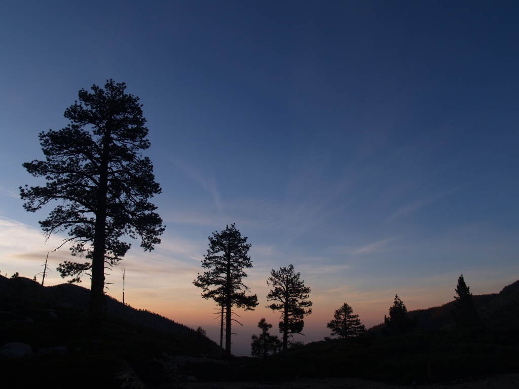
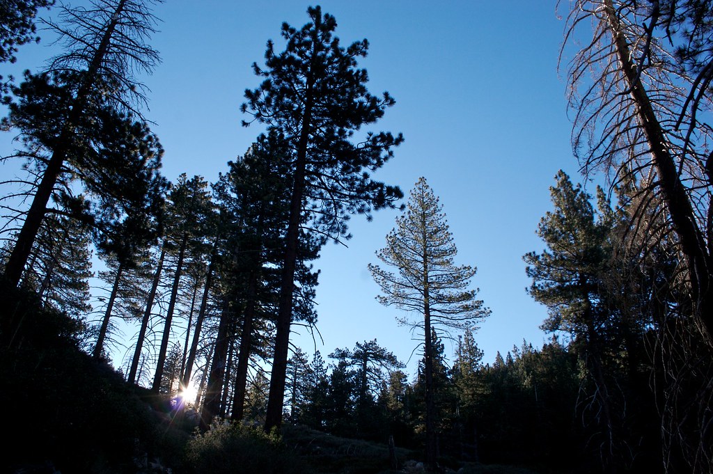
Sunset and Pines
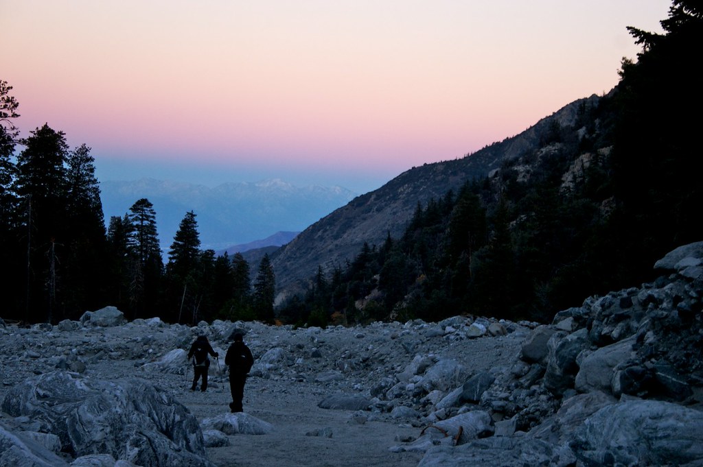
Sunset from the Sky High and San Bernadino Peak trail junction

Frank and the sunset
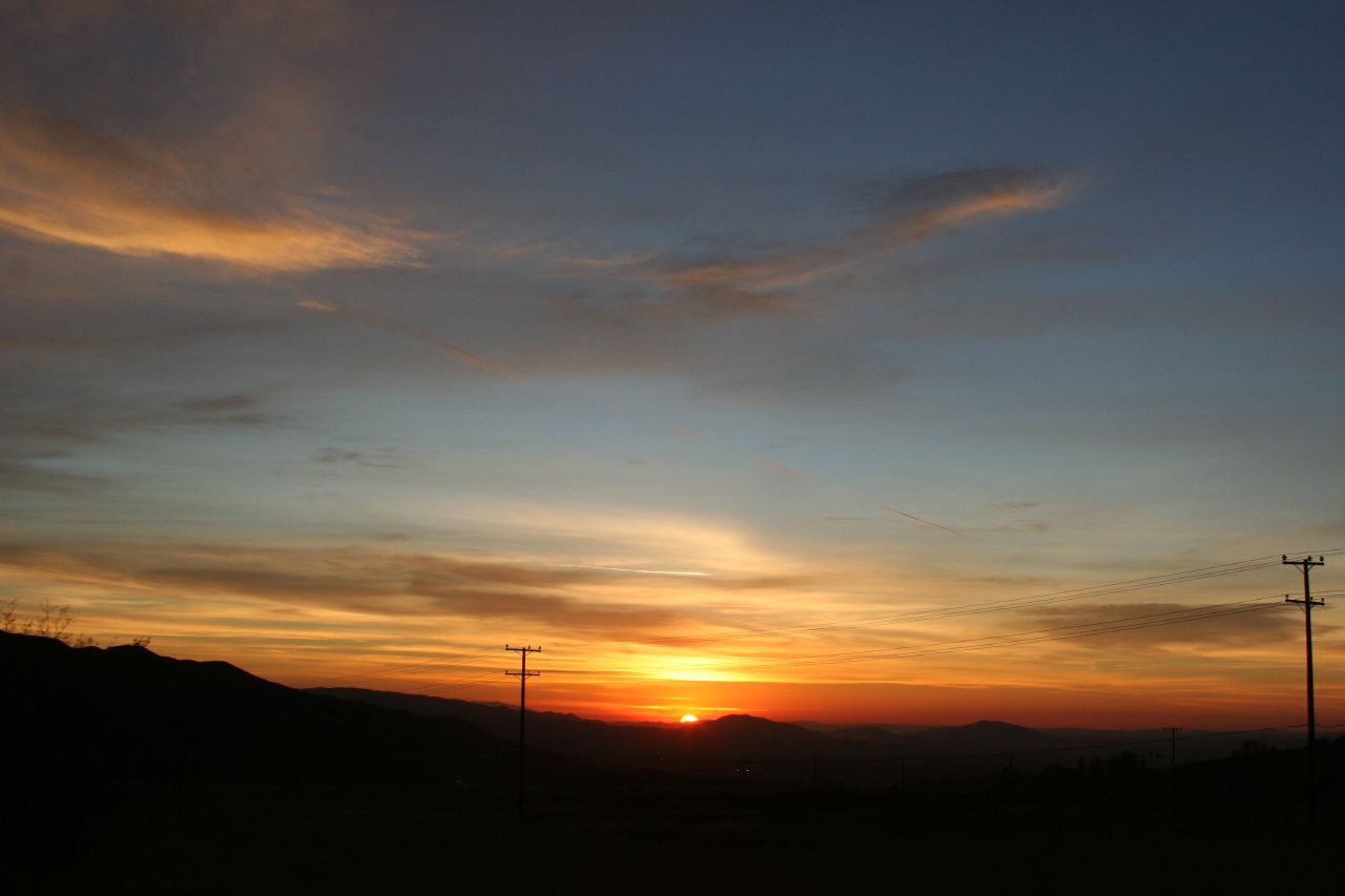
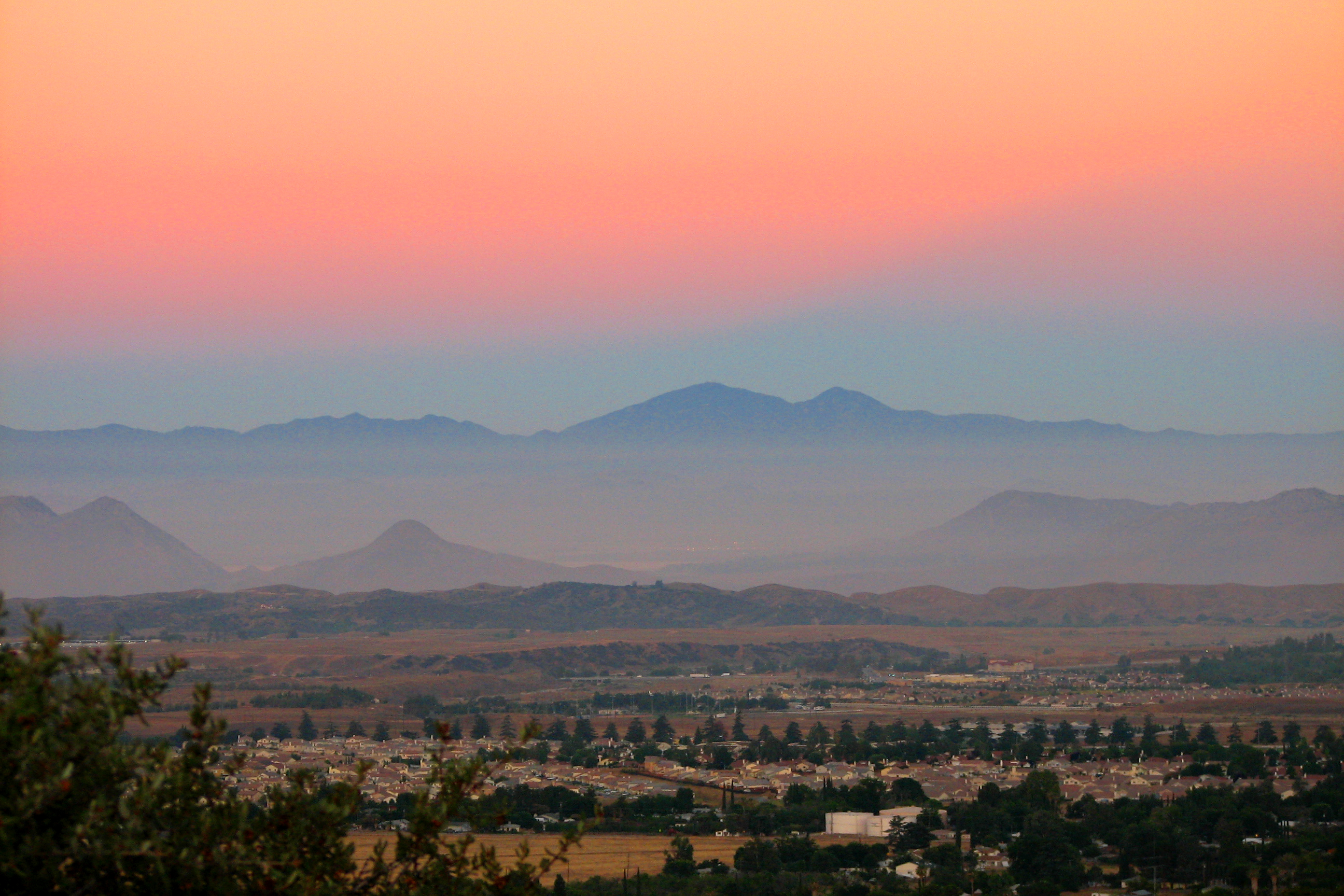
Sunset over the IE

Sunset in the IE 3
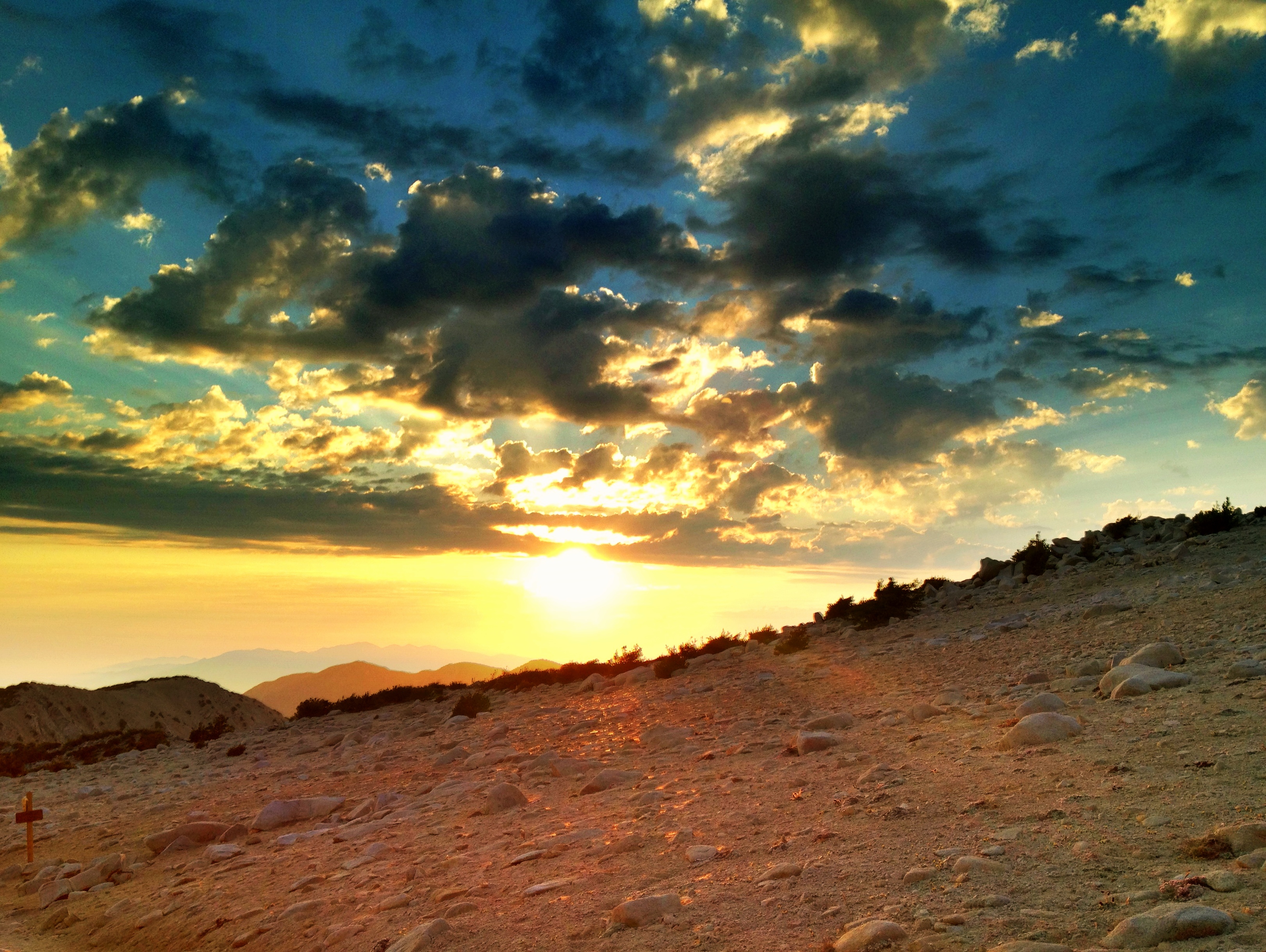
Lovely sunset

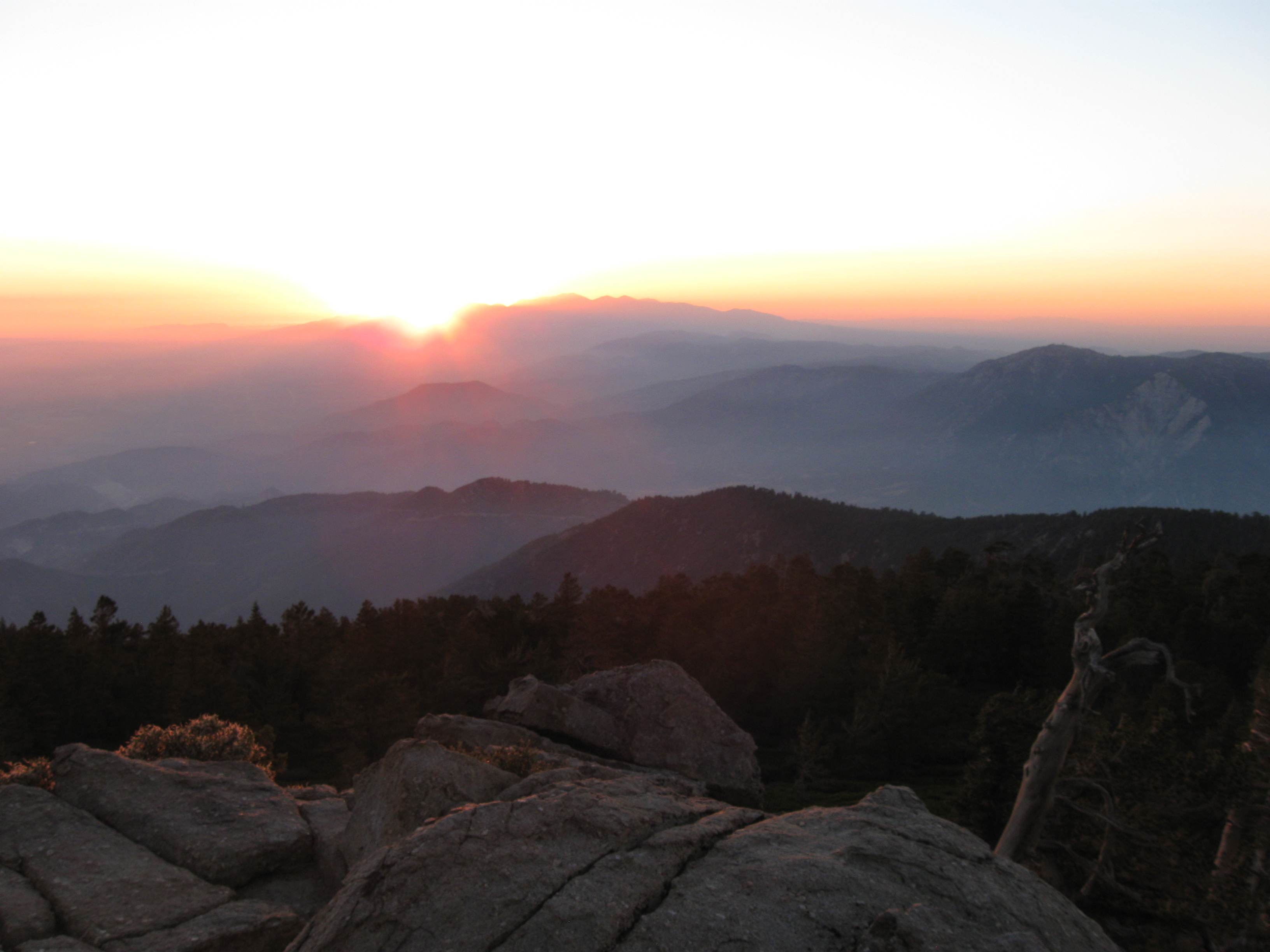
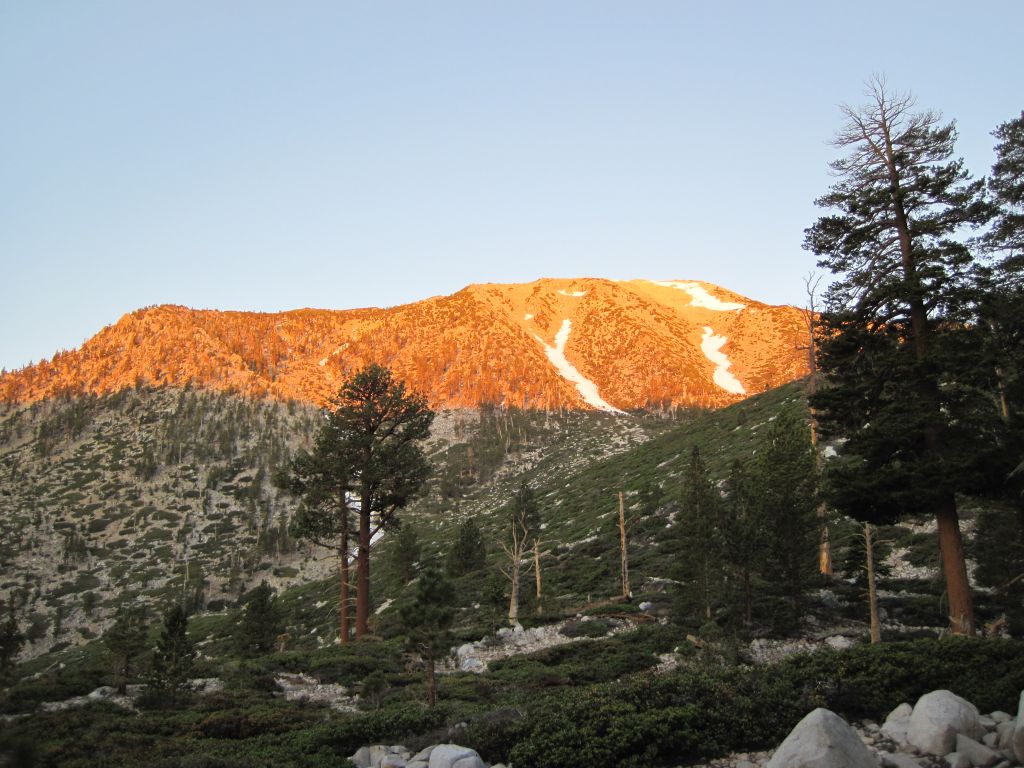
Sunset from San Gorgonio summit

Beautiful sunset tonight
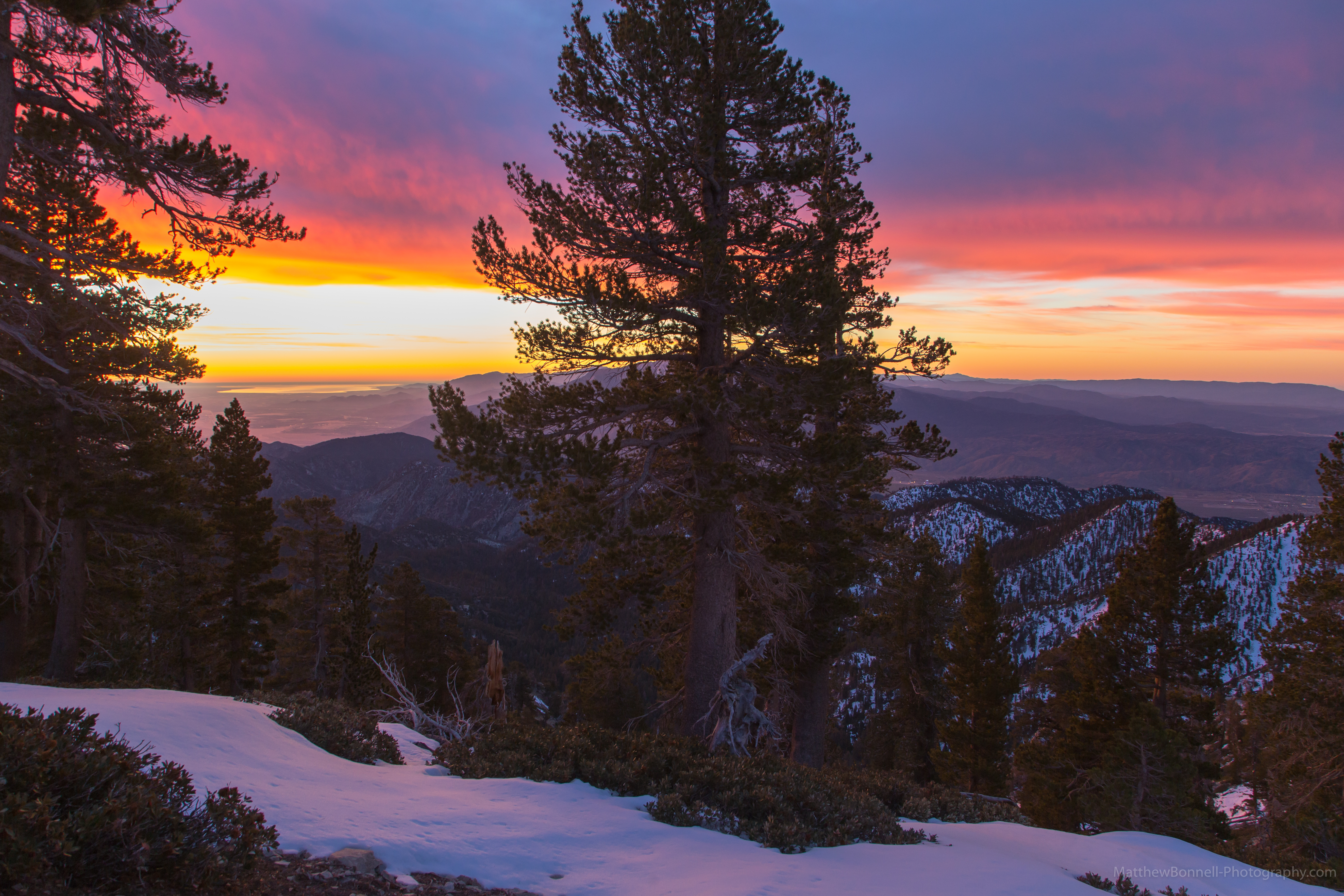
Setting Sun Over the Ridge
498 Limber Pine Bench sunset - HDR-fattal
IMG_7282.jpg
First daylight
Morning Sunrise #MorningSunrise #Sunrise #AmateurPhotographer #AmateurPhotography #BOBthePhotography
Sunrise on the Trail
160 Sunrise pine tree silhouettes from Mineshaft Flat
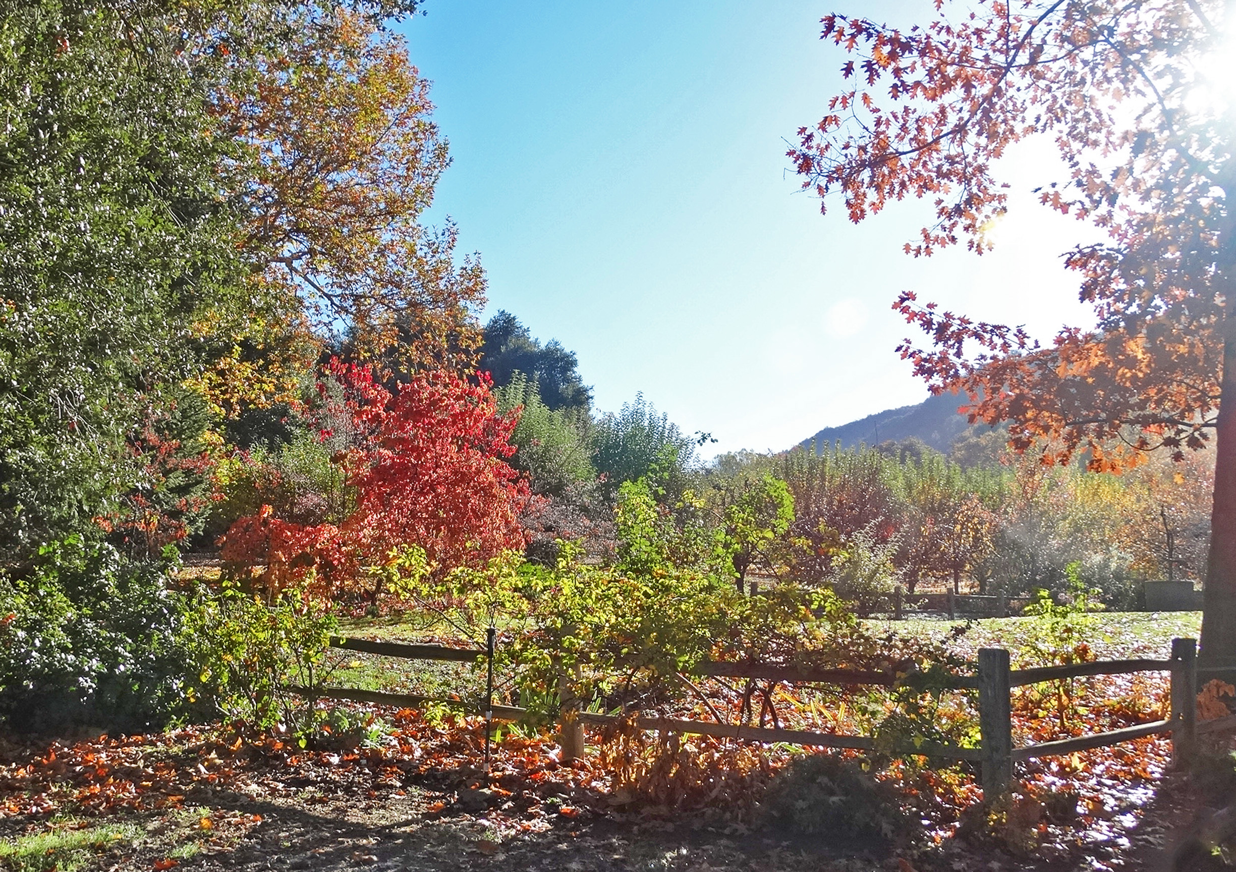
First Color, Oak Glen, CA 10-13
morning sun feels good. #trailrunning #triathlon #training #running #swimbikerun #trails #mountains #hills #nature #outdoors #mountainrunning #instagram #sgw #momyer #iphoneonly #sunrise

1524 Sunrise at Trail Fork Springs Camp
AwakeningTrees, Yucaipa, CA 3-13
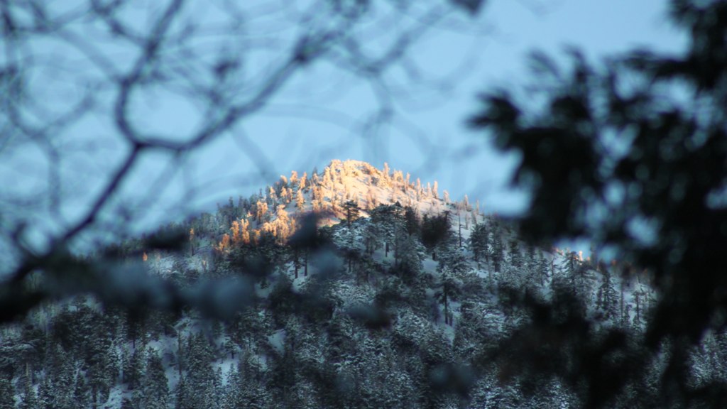
Sunrise Over the Ridge
Before Sunrise
0750 Dawn's first light on San Jacinto Peak from the summit of San Gorgonio Mountain
448_Mineshaft-Flat-sunrise

002 Sunrise on Highway 38 as we head into the San Gorgonio Mountains
Mapa de Cedar Drive, Cedar Dr, California, EE. UU.
Buscar otro lugar
Lugares cercanos
Spruce Dr, Forest Falls, CA, EE. UU.
Spring Dr, Forest Falls, CA, EE. UU.
Big Falls Lodge, Valley of the Falls Dr, Forest Falls, CA, EE. UU.
Forest Falls, CA, EE. UU.
Rock Dr, Forest Falls, CA, EE. UU.
Rock Dr, Forest Falls, CA, EE. UU.
Wood Rd, Forest Falls, CA, EE. UU.
Corral Rd, Forest Falls, CA, EE. UU.
Prospect Dr, Forest Falls, CA, EE. UU.
Canyon Dr, Forest Falls, CA, EE. UU.
Little San Gorgonio Peak, California, EE. UU.
Glen Rd, Yucaipa, CA, EE. UU.
Oak Glen Rd, Yucaipa, CA, EE. UU.
Oak Glen Christian Conference Center, Oak Glen Rd, Yucaipa, CA, EE. UU.
Oak Glen, California, EE. UU.
Oak Tree Village, Oak Glen Rd, Oak Glen, CA, EE. UU.
Los Rios Rancho, Oak Glen Rd, Yucaipa, CA, EE. UU.
Oak Glen Rd, Oak Glen, CA, EE. UU.
Oak Glen Rd, Yucaipa, CA, EE. UU.
Oak Glen Rd, Oak Glen, CA, EE. UU.
Búsquedas recientes
- Horas de salida y puesta de sol de Jialuohu, Datong Township, Yilan County, Taiwan
- Horas de salida y puesta de sol de 大下港, Sekizenoge, Imabari, Prefectura de Ehime -, Japón
- Horas de salida y puesta de sol de Oge port Ferry Terminal, -1 Sekizenōge, Imabari, Ehime -, Japón
- Horas de salida y puesta de sol de San Telmo, Cdad. Autónoma de Buenos Aires, Argentina
- Horas de salida y puesta de sol de Congressional Dr, Stevensville, MD, USA
- Horas de salida y puesta de sol de Papingo 04, Grecia
- Horas de salida y puesta de sol de Pagonija rock, Kranto 7-oji g. 8"N, Kaunas, Lituania
- Horas de salida y puesta de sol de Co Rd 87, Jamestown, CO, EE. UU.
- Horas de salida y puesta de sol de Tenjo, Cundinamarca, Colombia
- Horas de salida y puesta de sol de -1 Gosho, Ichihara, Chiba -, Japón