Horas de salida y puesta de sol de Avenue E, Yucaipa, CA, EE. UU.
Location: Estados Unidos > California > Condado de San Bernardino > Yucaipa >
Zona horaria:
America/Los_Angeles
Hora local:
2024-05-02 03:27:22
Longitud:
-117.0902219
Latitud:
34.0268679
Salida de sol de hoy:
05:56:58 AM
Puesta de sol de hoy:
07:33:30 PM
La duración del día hoy:
13h 36m 32s
Salida de sol de mañana:
05:56:00 AM
Puesta de sol de mañana:
07:34:17 PM
La duración del día mañana:
13h 38m 17s
Mostrar todas las fechas
| Fecha | Salida de sol | Puesta de sol | Duración del día |
|---|---|---|---|
| 01/01/2024 | 06:53:55 AM | 04:50:33 PM | 9h 56m 38s |
| 02/01/2024 | 06:54:04 AM | 04:51:19 PM | 9h 57m 15s |
| 03/01/2024 | 06:54:12 AM | 04:52:06 PM | 9h 57m 54s |
| 04/01/2024 | 06:54:18 AM | 04:52:54 PM | 9h 58m 36s |
| 05/01/2024 | 06:54:22 AM | 04:53:43 PM | 9h 59m 21s |
| 06/01/2024 | 06:54:24 AM | 04:54:33 PM | 10h 0m 9s |
| 07/01/2024 | 06:54:25 AM | 04:55:24 PM | 10h 0m 59s |
| 08/01/2024 | 06:54:23 AM | 04:56:16 PM | 10h 1m 53s |
| 09/01/2024 | 06:54:20 AM | 04:57:09 PM | 10h 2m 49s |
| 10/01/2024 | 06:54:14 AM | 04:58:02 PM | 10h 3m 48s |
| 11/01/2024 | 06:54:07 AM | 04:58:56 PM | 10h 4m 49s |
| 12/01/2024 | 06:53:58 AM | 04:59:51 PM | 10h 5m 53s |
| 13/01/2024 | 06:53:47 AM | 05:00:46 PM | 10h 6m 59s |
| 14/01/2024 | 06:53:35 AM | 05:01:42 PM | 10h 8m 7s |
| 15/01/2024 | 06:53:20 AM | 05:02:38 PM | 10h 9m 18s |
| 16/01/2024 | 06:53:04 AM | 05:03:35 PM | 10h 10m 31s |
| 17/01/2024 | 06:52:46 AM | 05:04:32 PM | 10h 11m 46s |
| 18/01/2024 | 06:52:26 AM | 05:05:30 PM | 10h 13m 4s |
| 19/01/2024 | 06:52:04 AM | 05:06:28 PM | 10h 14m 24s |
| 20/01/2024 | 06:51:40 AM | 05:07:26 PM | 10h 15m 46s |
| 21/01/2024 | 06:51:15 AM | 05:08:25 PM | 10h 17m 10s |
| 22/01/2024 | 06:50:48 AM | 05:09:23 PM | 10h 18m 35s |
| 23/01/2024 | 06:50:19 AM | 05:10:22 PM | 10h 20m 3s |
| 24/01/2024 | 06:49:48 AM | 05:11:21 PM | 10h 21m 33s |
| 25/01/2024 | 06:49:16 AM | 05:12:21 PM | 10h 23m 5s |
| 26/01/2024 | 06:48:42 AM | 05:13:20 PM | 10h 24m 38s |
| 27/01/2024 | 06:48:06 AM | 05:14:19 PM | 10h 26m 13s |
| 28/01/2024 | 06:47:29 AM | 05:15:18 PM | 10h 27m 49s |
| 29/01/2024 | 06:46:50 AM | 05:16:18 PM | 10h 29m 28s |
| 30/01/2024 | 06:46:10 AM | 05:17:17 PM | 10h 31m 7s |
| 31/01/2024 | 06:45:28 AM | 05:18:16 PM | 10h 32m 48s |
| 01/02/2024 | 06:44:44 AM | 05:19:15 PM | 10h 34m 31s |
| 02/02/2024 | 06:43:59 AM | 05:20:14 PM | 10h 36m 15s |
| 03/02/2024 | 06:43:13 AM | 05:21:13 PM | 10h 38m 0s |
| 04/02/2024 | 06:42:25 AM | 05:22:11 PM | 10h 39m 46s |
| 05/02/2024 | 06:41:35 AM | 05:23:10 PM | 10h 41m 35s |
| 06/02/2024 | 06:40:44 AM | 05:24:08 PM | 10h 43m 24s |
| 07/02/2024 | 06:39:52 AM | 05:25:06 PM | 10h 45m 14s |
| 08/02/2024 | 06:38:59 AM | 05:26:04 PM | 10h 47m 5s |
| 09/02/2024 | 06:38:04 AM | 05:27:01 PM | 10h 48m 57s |
| 10/02/2024 | 06:37:08 AM | 05:27:58 PM | 10h 50m 50s |
| 11/02/2024 | 06:36:11 AM | 05:28:55 PM | 10h 52m 44s |
| 12/02/2024 | 06:35:12 AM | 05:29:52 PM | 10h 54m 40s |
| 13/02/2024 | 06:34:12 AM | 05:30:48 PM | 10h 56m 36s |
| 14/02/2024 | 06:33:12 AM | 05:31:44 PM | 10h 58m 32s |
| 15/02/2024 | 06:32:10 AM | 05:32:40 PM | 11h 0m 30s |
| 16/02/2024 | 06:31:07 AM | 05:33:35 PM | 11h 2m 28s |
| 17/02/2024 | 06:30:02 AM | 05:34:30 PM | 11h 4m 28s |
| 18/02/2024 | 06:28:57 AM | 05:35:24 PM | 11h 6m 27s |
| 19/02/2024 | 06:27:51 AM | 05:36:19 PM | 11h 8m 28s |
| 20/02/2024 | 06:26:44 AM | 05:37:13 PM | 11h 10m 29s |
| 21/02/2024 | 06:25:36 AM | 05:38:06 PM | 11h 12m 30s |
| 22/02/2024 | 06:24:27 AM | 05:39:00 PM | 11h 14m 33s |
| 23/02/2024 | 06:23:17 AM | 05:39:53 PM | 11h 16m 36s |
| 24/02/2024 | 06:22:06 AM | 05:40:45 PM | 11h 18m 39s |
| 25/02/2024 | 06:20:55 AM | 05:41:37 PM | 11h 20m 42s |
| 26/02/2024 | 06:19:43 AM | 05:42:29 PM | 11h 22m 46s |
| 27/02/2024 | 06:18:30 AM | 05:43:21 PM | 11h 24m 51s |
| 28/02/2024 | 06:17:16 AM | 05:44:12 PM | 11h 26m 56s |
| 29/02/2024 | 06:16:01 AM | 05:45:03 PM | 11h 29m 2s |
| 01/03/2024 | 06:14:46 AM | 05:45:53 PM | 11h 31m 7s |
| 02/03/2024 | 06:13:30 AM | 05:46:44 PM | 11h 33m 14s |
| 03/03/2024 | 06:12:14 AM | 05:47:34 PM | 11h 35m 20s |
| 04/03/2024 | 06:10:57 AM | 05:48:23 PM | 11h 37m 26s |
| 05/03/2024 | 06:09:40 AM | 05:49:13 PM | 11h 39m 33s |
| 06/03/2024 | 06:08:22 AM | 05:50:02 PM | 11h 41m 40s |
| 07/03/2024 | 06:07:03 AM | 05:50:50 PM | 11h 43m 47s |
| 08/03/2024 | 06:05:45 AM | 05:51:39 PM | 11h 45m 54s |
| 09/03/2024 | 06:04:25 AM | 05:52:27 PM | 11h 48m 2s |
| 10/03/2024 | 07:03:09 AM | 06:53:13 PM | 11h 50m 4s |
| 11/03/2024 | 07:01:49 AM | 06:54:01 PM | 11h 52m 12s |
| 12/03/2024 | 07:00:29 AM | 06:54:49 PM | 11h 54m 20s |
| 13/03/2024 | 06:59:08 AM | 06:55:36 PM | 11h 56m 28s |
| 14/03/2024 | 06:57:47 AM | 06:56:23 PM | 11h 58m 36s |
| 15/03/2024 | 06:56:26 AM | 06:57:10 PM | 12h 0m 44s |
| 16/03/2024 | 06:55:05 AM | 06:57:57 PM | 12h 2m 52s |
| 17/03/2024 | 06:53:43 AM | 06:58:43 PM | 12h 5m 0s |
| 18/03/2024 | 06:52:21 AM | 06:59:30 PM | 12h 7m 9s |
| 19/03/2024 | 06:51:00 AM | 07:00:16 PM | 12h 9m 16s |
| 20/03/2024 | 06:49:38 AM | 07:01:02 PM | 12h 11m 24s |
| 21/03/2024 | 06:48:16 AM | 07:01:48 PM | 12h 13m 32s |
| 22/03/2024 | 06:46:54 AM | 07:02:34 PM | 12h 15m 40s |
| 23/03/2024 | 06:45:32 AM | 07:03:20 PM | 12h 17m 48s |
| 24/03/2024 | 06:44:10 AM | 07:04:06 PM | 12h 19m 56s |
| 25/03/2024 | 06:42:48 AM | 07:04:51 PM | 12h 22m 3s |
| 26/03/2024 | 06:41:26 AM | 07:05:37 PM | 12h 24m 11s |
| 27/03/2024 | 06:40:05 AM | 07:06:22 PM | 12h 26m 17s |
| 28/03/2024 | 06:38:43 AM | 07:07:08 PM | 12h 28m 25s |
| 29/03/2024 | 06:37:22 AM | 07:07:53 PM | 12h 30m 31s |
| 30/03/2024 | 06:36:01 AM | 07:08:39 PM | 12h 32m 38s |
| 31/03/2024 | 06:34:40 AM | 07:09:24 PM | 12h 34m 44s |
| 01/04/2024 | 06:33:19 AM | 07:10:10 PM | 12h 36m 51s |
| 02/04/2024 | 06:31:59 AM | 07:10:55 PM | 12h 38m 56s |
| 03/04/2024 | 06:30:39 AM | 07:11:40 PM | 12h 41m 1s |
| 04/04/2024 | 06:29:19 AM | 07:12:26 PM | 12h 43m 7s |
| 05/04/2024 | 06:28:00 AM | 07:13:11 PM | 12h 45m 11s |
| 06/04/2024 | 06:26:41 AM | 07:13:57 PM | 12h 47m 16s |
| 07/04/2024 | 06:25:22 AM | 07:14:42 PM | 12h 49m 20s |
| 08/04/2024 | 06:24:04 AM | 07:15:28 PM | 12h 51m 24s |
| 09/04/2024 | 06:22:46 AM | 07:16:13 PM | 12h 53m 27s |
| 10/04/2024 | 06:21:29 AM | 07:16:59 PM | 12h 55m 30s |
| 11/04/2024 | 06:20:13 AM | 07:17:45 PM | 12h 57m 32s |
| 12/04/2024 | 06:18:57 AM | 07:18:30 PM | 12h 59m 33s |
| 13/04/2024 | 06:17:42 AM | 07:19:16 PM | 13h 1m 34s |
| 14/04/2024 | 06:16:27 AM | 07:20:02 PM | 13h 3m 35s |
| 15/04/2024 | 06:15:13 AM | 07:20:48 PM | 13h 5m 35s |
| 16/04/2024 | 06:14:00 AM | 07:21:34 PM | 13h 7m 34s |
| 17/04/2024 | 06:12:47 AM | 07:22:21 PM | 13h 9m 34s |
| 18/04/2024 | 06:11:35 AM | 07:23:07 PM | 13h 11m 32s |
| 19/04/2024 | 06:10:24 AM | 07:23:53 PM | 13h 13m 29s |
| 20/04/2024 | 06:09:14 AM | 07:24:39 PM | 13h 15m 25s |
| 21/04/2024 | 06:08:04 AM | 07:25:26 PM | 13h 17m 22s |
| 22/04/2024 | 06:06:55 AM | 07:26:12 PM | 13h 19m 17s |
| 23/04/2024 | 06:05:48 AM | 07:26:59 PM | 13h 21m 11s |
| 24/04/2024 | 06:04:41 AM | 07:27:46 PM | 13h 23m 5s |
| 25/04/2024 | 06:03:35 AM | 07:28:32 PM | 13h 24m 57s |
| 26/04/2024 | 06:02:30 AM | 07:29:19 PM | 13h 26m 49s |
| 27/04/2024 | 06:01:26 AM | 07:30:06 PM | 13h 28m 40s |
| 28/04/2024 | 06:00:23 AM | 07:30:53 PM | 13h 30m 30s |
| 29/04/2024 | 05:59:21 AM | 07:31:39 PM | 13h 32m 18s |
| 30/04/2024 | 05:58:20 AM | 07:32:26 PM | 13h 34m 6s |
| 01/05/2024 | 05:57:21 AM | 07:33:13 PM | 13h 35m 52s |
| 02/05/2024 | 05:56:22 AM | 07:34:00 PM | 13h 37m 38s |
| 03/05/2024 | 05:55:24 AM | 07:34:46 PM | 13h 39m 22s |
| 04/05/2024 | 05:54:28 AM | 07:35:33 PM | 13h 41m 5s |
| 05/05/2024 | 05:53:33 AM | 07:36:19 PM | 13h 42m 46s |
| 06/05/2024 | 05:52:39 AM | 07:37:06 PM | 13h 44m 27s |
| 07/05/2024 | 05:51:47 AM | 07:37:52 PM | 13h 46m 5s |
| 08/05/2024 | 05:50:55 AM | 07:38:39 PM | 13h 47m 44s |
| 09/05/2024 | 05:50:05 AM | 07:39:25 PM | 13h 49m 20s |
| 10/05/2024 | 05:49:17 AM | 07:40:11 PM | 13h 50m 54s |
| 11/05/2024 | 05:48:29 AM | 07:40:56 PM | 13h 52m 27s |
| 12/05/2024 | 05:47:43 AM | 07:41:42 PM | 13h 53m 59s |
| 13/05/2024 | 05:46:58 AM | 07:42:27 PM | 13h 55m 29s |
| 14/05/2024 | 05:46:15 AM | 07:43:12 PM | 13h 56m 57s |
| 15/05/2024 | 05:45:33 AM | 07:43:57 PM | 13h 58m 24s |
| 16/05/2024 | 05:44:53 AM | 07:44:41 PM | 13h 59m 48s |
| 17/05/2024 | 05:44:14 AM | 07:45:25 PM | 14h 1m 11s |
| 18/05/2024 | 05:43:36 AM | 07:46:09 PM | 14h 2m 33s |
| 19/05/2024 | 05:43:00 AM | 07:46:52 PM | 14h 3m 52s |
| 20/05/2024 | 05:42:26 AM | 07:47:35 PM | 14h 5m 9s |
| 21/05/2024 | 05:41:53 AM | 07:48:17 PM | 14h 6m 24s |
| 22/05/2024 | 05:41:22 AM | 07:48:59 PM | 14h 7m 37s |
| 23/05/2024 | 05:40:52 AM | 07:49:40 PM | 14h 8m 48s |
| 24/05/2024 | 05:40:23 AM | 07:50:21 PM | 14h 9m 58s |
| 25/05/2024 | 05:39:57 AM | 07:51:01 PM | 14h 11m 4s |
| 26/05/2024 | 05:39:31 AM | 07:51:41 PM | 14h 12m 10s |
| 27/05/2024 | 05:39:08 AM | 07:52:20 PM | 14h 13m 12s |
| 28/05/2024 | 05:38:46 AM | 07:52:58 PM | 14h 14m 12s |
| 29/05/2024 | 05:38:25 AM | 07:53:35 PM | 14h 15m 10s |
| 30/05/2024 | 05:38:07 AM | 07:54:12 PM | 14h 16m 5s |
| 31/05/2024 | 05:37:49 AM | 07:54:48 PM | 14h 16m 59s |
| 01/06/2024 | 05:37:34 AM | 07:55:23 PM | 14h 17m 49s |
| 02/06/2024 | 05:37:20 AM | 07:55:57 PM | 14h 18m 37s |
| 03/06/2024 | 05:37:07 AM | 07:56:30 PM | 14h 19m 23s |
| 04/06/2024 | 05:36:56 AM | 07:57:02 PM | 14h 20m 6s |
| 05/06/2024 | 05:36:47 AM | 07:57:34 PM | 14h 20m 47s |
| 06/06/2024 | 05:36:40 AM | 07:58:04 PM | 14h 21m 24s |
| 07/06/2024 | 05:36:34 AM | 07:58:33 PM | 14h 21m 59s |
| 08/06/2024 | 05:36:29 AM | 07:59:01 PM | 14h 22m 32s |
| 09/06/2024 | 05:36:26 AM | 07:59:28 PM | 14h 23m 2s |
| 10/06/2024 | 05:36:25 AM | 07:59:54 PM | 14h 23m 29s |
| 11/06/2024 | 05:36:25 AM | 08:00:19 PM | 14h 23m 54s |
| 12/06/2024 | 05:36:27 AM | 08:00:42 PM | 14h 24m 15s |
| 13/06/2024 | 05:36:30 AM | 08:01:04 PM | 14h 24m 34s |
| 14/06/2024 | 05:36:35 AM | 08:01:25 PM | 14h 24m 50s |
| 15/06/2024 | 05:36:41 AM | 08:01:45 PM | 14h 25m 4s |
| 16/06/2024 | 05:36:49 AM | 08:02:03 PM | 14h 25m 14s |
| 17/06/2024 | 05:36:58 AM | 08:02:20 PM | 14h 25m 22s |
| 18/06/2024 | 05:37:09 AM | 08:02:36 PM | 14h 25m 27s |
| 19/06/2024 | 05:37:21 AM | 08:02:50 PM | 14h 25m 29s |
| 20/06/2024 | 05:37:34 AM | 08:03:03 PM | 14h 25m 29s |
| 21/06/2024 | 05:37:49 AM | 08:03:14 PM | 14h 25m 25s |
| 22/06/2024 | 05:38:05 AM | 08:03:24 PM | 14h 25m 19s |
| 23/06/2024 | 05:38:23 AM | 08:03:32 PM | 14h 25m 9s |
| 24/06/2024 | 05:38:41 AM | 08:03:39 PM | 14h 24m 58s |
| 25/06/2024 | 05:39:01 AM | 08:03:44 PM | 14h 24m 43s |
| 26/06/2024 | 05:39:22 AM | 08:03:47 PM | 14h 24m 25s |
| 27/06/2024 | 05:39:45 AM | 08:03:49 PM | 14h 24m 4s |
| 28/06/2024 | 05:40:08 AM | 08:03:50 PM | 14h 23m 42s |
| 29/06/2024 | 05:40:33 AM | 08:03:49 PM | 14h 23m 16s |
| 30/06/2024 | 05:40:59 AM | 08:03:46 PM | 14h 22m 47s |
| 01/07/2024 | 05:41:25 AM | 08:03:42 PM | 14h 22m 17s |
| 02/07/2024 | 05:41:53 AM | 08:03:36 PM | 14h 21m 43s |
| 03/07/2024 | 05:42:22 AM | 08:03:28 PM | 14h 21m 6s |
| 04/07/2024 | 05:42:52 AM | 08:03:19 PM | 14h 20m 27s |
| 05/07/2024 | 05:43:23 AM | 08:03:08 PM | 14h 19m 45s |
| 06/07/2024 | 05:43:54 AM | 08:02:55 PM | 14h 19m 1s |
| 07/07/2024 | 05:44:27 AM | 08:02:41 PM | 14h 18m 14s |
| 08/07/2024 | 05:45:00 AM | 08:02:25 PM | 14h 17m 25s |
| 09/07/2024 | 05:45:34 AM | 08:02:08 PM | 14h 16m 34s |
| 10/07/2024 | 05:46:09 AM | 08:01:49 PM | 14h 15m 40s |
| 11/07/2024 | 05:46:44 AM | 08:01:28 PM | 14h 14m 44s |
| 12/07/2024 | 05:47:21 AM | 08:01:06 PM | 14h 13m 45s |
| 13/07/2024 | 05:47:57 AM | 08:00:42 PM | 14h 12m 45s |
| 14/07/2024 | 05:48:35 AM | 08:00:16 PM | 14h 11m 41s |
| 15/07/2024 | 05:49:13 AM | 07:59:49 PM | 14h 10m 36s |
| 16/07/2024 | 05:49:52 AM | 07:59:20 PM | 14h 9m 28s |
| 17/07/2024 | 05:50:31 AM | 07:58:50 PM | 14h 8m 19s |
| 18/07/2024 | 05:51:10 AM | 07:58:18 PM | 14h 7m 8s |
| 19/07/2024 | 05:51:50 AM | 07:57:44 PM | 14h 5m 54s |
| 20/07/2024 | 05:52:31 AM | 07:57:09 PM | 14h 4m 38s |
| 21/07/2024 | 05:53:12 AM | 07:56:32 PM | 14h 3m 20s |
| 22/07/2024 | 05:53:53 AM | 07:55:54 PM | 14h 2m 1s |
| 23/07/2024 | 05:54:34 AM | 07:55:15 PM | 14h 0m 41s |
| 24/07/2024 | 05:55:16 AM | 07:54:33 PM | 13h 59m 17s |
| 25/07/2024 | 05:55:58 AM | 07:53:51 PM | 13h 57m 53s |
| 26/07/2024 | 05:56:41 AM | 07:53:07 PM | 13h 56m 26s |
| 27/07/2024 | 05:57:23 AM | 07:52:21 PM | 13h 54m 58s |
| 28/07/2024 | 05:58:06 AM | 07:51:34 PM | 13h 53m 28s |
| 29/07/2024 | 05:58:49 AM | 07:50:46 PM | 13h 51m 57s |
| 30/07/2024 | 05:59:32 AM | 07:49:57 PM | 13h 50m 25s |
| 31/07/2024 | 06:00:15 AM | 07:49:06 PM | 13h 48m 51s |
| 01/08/2024 | 06:00:58 AM | 07:48:13 PM | 13h 47m 15s |
| 02/08/2024 | 06:01:42 AM | 07:47:20 PM | 13h 45m 38s |
| 03/08/2024 | 06:02:25 AM | 07:46:25 PM | 13h 44m 0s |
| 04/08/2024 | 06:03:09 AM | 07:45:29 PM | 13h 42m 20s |
| 05/08/2024 | 06:03:52 AM | 07:44:31 PM | 13h 40m 39s |
| 06/08/2024 | 06:04:36 AM | 07:43:33 PM | 13h 38m 57s |
| 07/08/2024 | 06:05:19 AM | 07:42:33 PM | 13h 37m 14s |
| 08/08/2024 | 06:06:03 AM | 07:41:32 PM | 13h 35m 29s |
| 09/08/2024 | 06:06:46 AM | 07:40:30 PM | 13h 33m 44s |
| 10/08/2024 | 06:07:30 AM | 07:39:27 PM | 13h 31m 57s |
| 11/08/2024 | 06:08:13 AM | 07:38:23 PM | 13h 30m 10s |
| 12/08/2024 | 06:08:57 AM | 07:37:18 PM | 13h 28m 21s |
| 13/08/2024 | 06:09:40 AM | 07:36:11 PM | 13h 26m 31s |
| 14/08/2024 | 06:10:23 AM | 07:35:04 PM | 13h 24m 41s |
| 15/08/2024 | 06:11:06 AM | 07:33:56 PM | 13h 22m 50s |
| 16/08/2024 | 06:11:49 AM | 07:32:47 PM | 13h 20m 58s |
| 17/08/2024 | 06:12:32 AM | 07:31:37 PM | 13h 19m 5s |
| 18/08/2024 | 06:13:15 AM | 07:30:26 PM | 13h 17m 11s |
| 19/08/2024 | 06:13:58 AM | 07:29:14 PM | 13h 15m 16s |
| 20/08/2024 | 06:14:40 AM | 07:28:02 PM | 13h 13m 22s |
| 21/08/2024 | 06:15:23 AM | 07:26:48 PM | 13h 11m 25s |
| 22/08/2024 | 06:16:05 AM | 07:25:34 PM | 13h 9m 29s |
| 23/08/2024 | 06:16:48 AM | 07:24:19 PM | 13h 7m 31s |
| 24/08/2024 | 06:17:30 AM | 07:23:04 PM | 13h 5m 34s |
| 25/08/2024 | 06:18:12 AM | 07:21:47 PM | 13h 3m 35s |
| 26/08/2024 | 06:18:54 AM | 07:20:30 PM | 13h 1m 36s |
| 27/08/2024 | 06:19:36 AM | 07:19:13 PM | 12h 59m 37s |
| 28/08/2024 | 06:20:18 AM | 07:17:55 PM | 12h 57m 37s |
| 29/08/2024 | 06:21:00 AM | 07:16:36 PM | 12h 55m 36s |
| 30/08/2024 | 06:21:41 AM | 07:15:17 PM | 12h 53m 36s |
| 31/08/2024 | 06:22:23 AM | 07:13:57 PM | 12h 51m 34s |
| 01/09/2024 | 06:23:04 AM | 07:12:36 PM | 12h 49m 32s |
| 02/09/2024 | 06:23:46 AM | 07:11:16 PM | 12h 47m 30s |
| 03/09/2024 | 06:24:27 AM | 07:09:54 PM | 12h 45m 27s |
| 04/09/2024 | 06:25:08 AM | 07:08:33 PM | 12h 43m 25s |
| 05/09/2024 | 06:25:50 AM | 07:07:11 PM | 12h 41m 21s |
| 06/09/2024 | 06:26:31 AM | 07:05:49 PM | 12h 39m 18s |
| 07/09/2024 | 06:27:12 AM | 07:04:26 PM | 12h 37m 14s |
| 08/09/2024 | 06:27:53 AM | 07:03:03 PM | 12h 35m 10s |
| 09/09/2024 | 06:28:34 AM | 07:01:40 PM | 12h 33m 6s |
| 10/09/2024 | 06:29:15 AM | 07:00:16 PM | 12h 31m 1s |
| 11/09/2024 | 06:29:57 AM | 06:58:53 PM | 12h 28m 56s |
| 12/09/2024 | 06:30:38 AM | 06:57:29 PM | 12h 26m 51s |
| 13/09/2024 | 06:31:19 AM | 06:56:05 PM | 12h 24m 46s |
| 14/09/2024 | 06:32:00 AM | 06:54:41 PM | 12h 22m 41s |
| 15/09/2024 | 06:32:42 AM | 06:53:16 PM | 12h 20m 34s |
| 16/09/2024 | 06:33:23 AM | 06:51:52 PM | 12h 18m 29s |
| 17/09/2024 | 06:34:04 AM | 06:50:28 PM | 12h 16m 24s |
| 18/09/2024 | 06:34:46 AM | 06:49:04 PM | 12h 14m 18s |
| 19/09/2024 | 06:35:28 AM | 06:47:39 PM | 12h 12m 11s |
| 20/09/2024 | 06:36:09 AM | 06:46:15 PM | 12h 10m 6s |
| 21/09/2024 | 06:36:51 AM | 06:44:51 PM | 12h 8m 0s |
| 22/09/2024 | 06:37:33 AM | 06:43:27 PM | 12h 5m 54s |
| 23/09/2024 | 06:38:15 AM | 06:42:03 PM | 12h 3m 48s |
| 24/09/2024 | 06:38:58 AM | 06:40:39 PM | 12h 1m 41s |
| 25/09/2024 | 06:39:40 AM | 06:39:15 PM | 11h 59m 35s |
| 26/09/2024 | 06:40:23 AM | 06:37:52 PM | 11h 57m 29s |
| 27/09/2024 | 06:41:06 AM | 06:36:29 PM | 11h 55m 23s |
| 28/09/2024 | 06:41:49 AM | 06:35:06 PM | 11h 53m 17s |
| 29/09/2024 | 06:42:32 AM | 06:33:43 PM | 11h 51m 11s |
| 30/09/2024 | 06:43:16 AM | 06:32:21 PM | 11h 49m 5s |
| 01/10/2024 | 06:44:00 AM | 06:30:59 PM | 11h 46m 59s |
| 02/10/2024 | 06:44:44 AM | 06:29:38 PM | 11h 44m 54s |
| 03/10/2024 | 06:45:28 AM | 06:28:17 PM | 11h 42m 49s |
| 04/10/2024 | 06:46:13 AM | 06:26:56 PM | 11h 40m 43s |
| 05/10/2024 | 06:46:58 AM | 06:25:36 PM | 11h 38m 38s |
| 06/10/2024 | 06:47:43 AM | 06:24:17 PM | 11h 36m 34s |
| 07/10/2024 | 06:48:29 AM | 06:22:58 PM | 11h 34m 29s |
| 08/10/2024 | 06:49:15 AM | 06:21:39 PM | 11h 32m 24s |
| 09/10/2024 | 06:50:01 AM | 06:20:21 PM | 11h 30m 20s |
| 10/10/2024 | 06:50:47 AM | 06:19:04 PM | 11h 28m 17s |
| 11/10/2024 | 06:51:34 AM | 06:17:48 PM | 11h 26m 14s |
| 12/10/2024 | 06:52:21 AM | 06:16:32 PM | 11h 24m 11s |
| 13/10/2024 | 06:53:09 AM | 06:15:17 PM | 11h 22m 8s |
| 14/10/2024 | 06:53:57 AM | 06:14:02 PM | 11h 20m 5s |
| 15/10/2024 | 06:54:45 AM | 06:12:49 PM | 11h 18m 4s |
| 16/10/2024 | 06:55:34 AM | 06:11:36 PM | 11h 16m 2s |
| 17/10/2024 | 06:56:23 AM | 06:10:24 PM | 11h 14m 1s |
| 18/10/2024 | 06:57:12 AM | 06:09:13 PM | 11h 12m 1s |
| 19/10/2024 | 06:58:02 AM | 06:08:03 PM | 11h 10m 1s |
| 20/10/2024 | 06:58:52 AM | 06:06:54 PM | 11h 8m 2s |
| 21/10/2024 | 06:59:42 AM | 06:05:45 PM | 11h 6m 3s |
| 22/10/2024 | 07:00:33 AM | 06:04:38 PM | 11h 4m 5s |
| 23/10/2024 | 07:01:25 AM | 06:03:32 PM | 11h 2m 7s |
| 24/10/2024 | 07:02:16 AM | 06:02:27 PM | 11h 0m 11s |
| 25/10/2024 | 07:03:08 AM | 06:01:23 PM | 10h 58m 15s |
| 26/10/2024 | 07:04:01 AM | 06:00:20 PM | 10h 56m 19s |
| 27/10/2024 | 07:04:53 AM | 05:59:18 PM | 10h 54m 25s |
| 28/10/2024 | 07:05:46 AM | 05:58:17 PM | 10h 52m 31s |
| 29/10/2024 | 07:06:40 AM | 05:57:18 PM | 10h 50m 38s |
| 30/10/2024 | 07:07:33 AM | 05:56:20 PM | 10h 48m 47s |
| 31/10/2024 | 07:08:27 AM | 05:55:23 PM | 10h 46m 56s |
| 01/11/2024 | 07:09:22 AM | 05:54:28 PM | 10h 45m 6s |
| 02/11/2024 | 07:10:16 AM | 05:53:34 PM | 10h 43m 18s |
| 03/11/2024 | 06:11:13 AM | 04:52:39 PM | 10h 41m 26s |
| 04/11/2024 | 06:12:09 AM | 04:51:47 PM | 10h 39m 38s |
| 05/11/2024 | 06:13:04 AM | 04:50:57 PM | 10h 37m 53s |
| 06/11/2024 | 06:14:00 AM | 04:50:09 PM | 10h 36m 9s |
| 07/11/2024 | 06:14:55 AM | 04:49:22 PM | 10h 34m 27s |
| 08/11/2024 | 06:15:51 AM | 04:48:36 PM | 10h 32m 45s |
| 09/11/2024 | 06:16:47 AM | 04:47:52 PM | 10h 31m 5s |
| 10/11/2024 | 06:17:44 AM | 04:47:10 PM | 10h 29m 26s |
| 11/11/2024 | 06:18:40 AM | 04:46:29 PM | 10h 27m 49s |
| 12/11/2024 | 06:19:37 AM | 04:45:50 PM | 10h 26m 13s |
| 13/11/2024 | 06:20:33 AM | 04:45:13 PM | 10h 24m 40s |
| 14/11/2024 | 06:21:30 AM | 04:44:37 PM | 10h 23m 7s |
| 15/11/2024 | 06:22:26 AM | 04:44:03 PM | 10h 21m 37s |
| 16/11/2024 | 06:23:23 AM | 04:43:30 PM | 10h 20m 7s |
| 17/11/2024 | 06:24:19 AM | 04:43:00 PM | 10h 18m 41s |
| 18/11/2024 | 06:25:15 AM | 04:42:31 PM | 10h 17m 16s |
| 19/11/2024 | 06:26:12 AM | 04:42:03 PM | 10h 15m 51s |
| 20/11/2024 | 06:27:08 AM | 04:41:38 PM | 10h 14m 30s |
| 21/11/2024 | 06:28:03 AM | 04:41:14 PM | 10h 13m 11s |
| 22/11/2024 | 06:28:59 AM | 04:40:53 PM | 10h 11m 54s |
| 23/11/2024 | 06:29:54 AM | 04:40:33 PM | 10h 10m 39s |
| 24/11/2024 | 06:30:49 AM | 04:40:15 PM | 10h 9m 26s |
| 25/11/2024 | 06:31:43 AM | 04:39:58 PM | 10h 8m 15s |
| 26/11/2024 | 06:32:37 AM | 04:39:44 PM | 10h 7m 7s |
| 27/11/2024 | 06:33:31 AM | 04:39:32 PM | 10h 6m 1s |
| 28/11/2024 | 06:34:24 AM | 04:39:21 PM | 10h 4m 57s |
| 29/11/2024 | 06:35:17 AM | 04:39:12 PM | 10h 3m 55s |
| 30/11/2024 | 06:36:08 AM | 04:39:06 PM | 10h 2m 58s |
| 01/12/2024 | 06:37:00 AM | 04:39:01 PM | 10h 2m 1s |
| 02/12/2024 | 06:37:50 AM | 04:38:58 PM | 10h 1m 8s |
| 03/12/2024 | 06:38:40 AM | 04:38:57 PM | 10h 0m 17s |
| 04/12/2024 | 06:39:29 AM | 04:38:58 PM | 9h 59m 29s |
| 05/12/2024 | 06:40:17 AM | 04:39:00 PM | 9h 58m 43s |
| 06/12/2024 | 06:41:05 AM | 04:39:05 PM | 9h 58m 0s |
| 07/12/2024 | 06:41:51 AM | 04:39:12 PM | 9h 57m 21s |
| 08/12/2024 | 06:42:36 AM | 04:39:20 PM | 9h 56m 44s |
| 09/12/2024 | 06:43:21 AM | 04:39:30 PM | 9h 56m 9s |
| 10/12/2024 | 06:44:04 AM | 04:39:42 PM | 9h 55m 38s |
| 11/12/2024 | 06:44:46 AM | 04:39:56 PM | 9h 55m 10s |
| 12/12/2024 | 06:45:27 AM | 04:40:12 PM | 9h 54m 45s |
| 13/12/2024 | 06:46:07 AM | 04:40:30 PM | 9h 54m 23s |
| 14/12/2024 | 06:46:45 AM | 04:40:49 PM | 9h 54m 4s |
| 15/12/2024 | 06:47:23 AM | 04:41:10 PM | 9h 53m 47s |
| 16/12/2024 | 06:47:58 AM | 04:41:33 PM | 9h 53m 35s |
| 17/12/2024 | 06:48:33 AM | 04:41:58 PM | 9h 53m 25s |
| 18/12/2024 | 06:49:06 AM | 04:42:24 PM | 9h 53m 18s |
| 19/12/2024 | 06:49:38 AM | 04:42:52 PM | 9h 53m 14s |
| 20/12/2024 | 06:50:08 AM | 04:43:21 PM | 9h 53m 13s |
| 21/12/2024 | 06:50:37 AM | 04:43:52 PM | 9h 53m 15s |
| 22/12/2024 | 06:51:04 AM | 04:44:25 PM | 9h 53m 21s |
| 23/12/2024 | 06:51:29 AM | 04:44:59 PM | 9h 53m 30s |
| 24/12/2024 | 06:51:53 AM | 04:45:35 PM | 9h 53m 42s |
| 25/12/2024 | 06:52:15 AM | 04:46:12 PM | 9h 53m 57s |
| 26/12/2024 | 06:52:36 AM | 04:46:50 PM | 9h 54m 14s |
| 27/12/2024 | 06:52:54 AM | 04:47:30 PM | 9h 54m 36s |
| 28/12/2024 | 06:53:12 AM | 04:48:11 PM | 9h 54m 59s |
| 29/12/2024 | 06:53:27 AM | 04:48:53 PM | 9h 55m 26s |
| 30/12/2024 | 06:53:40 AM | 04:49:37 PM | 9h 55m 57s |
Fotos

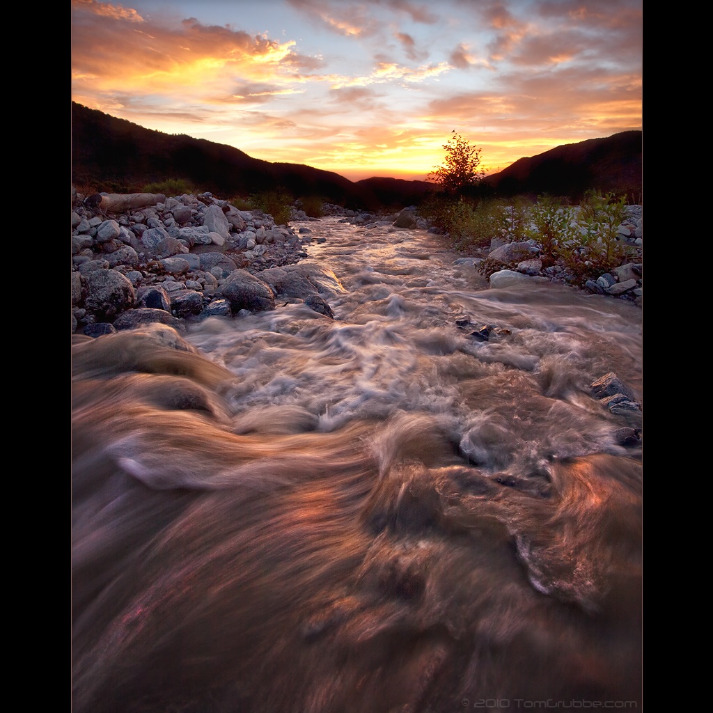
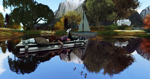
Twilight Rocks and Stream

Summer Splendor

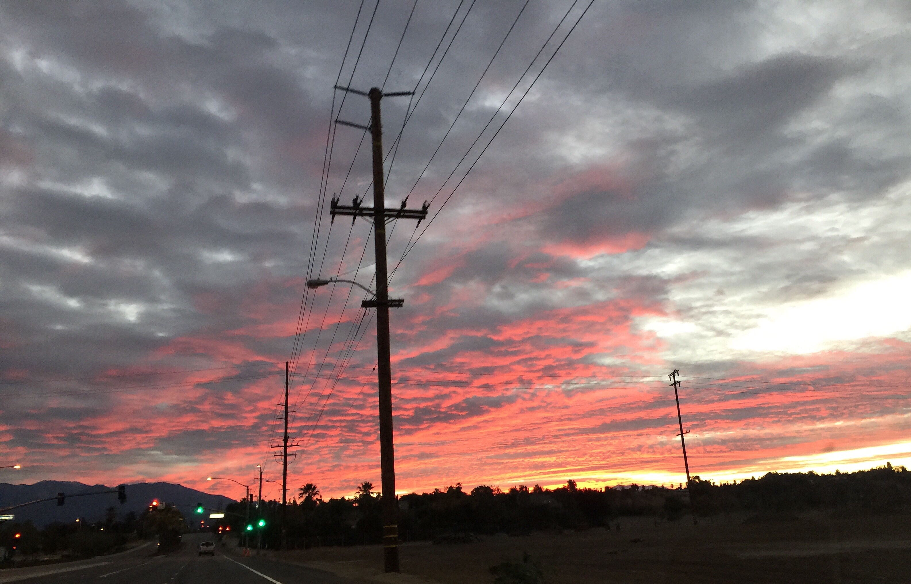
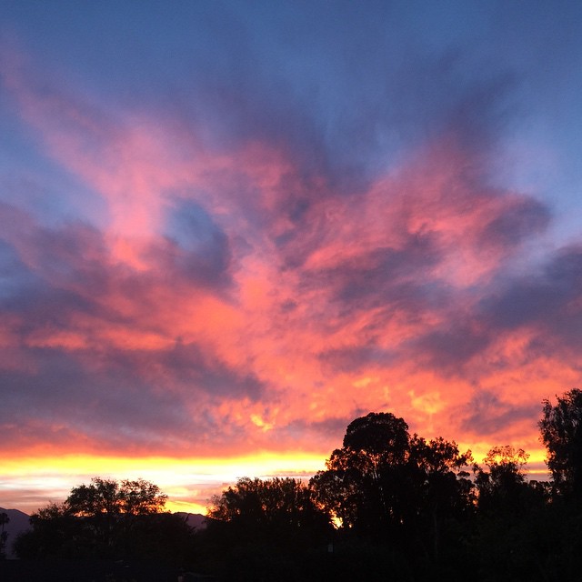
Mill Creek Storm Sunset

Sunset Valley II
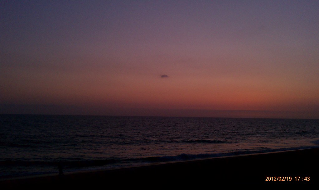
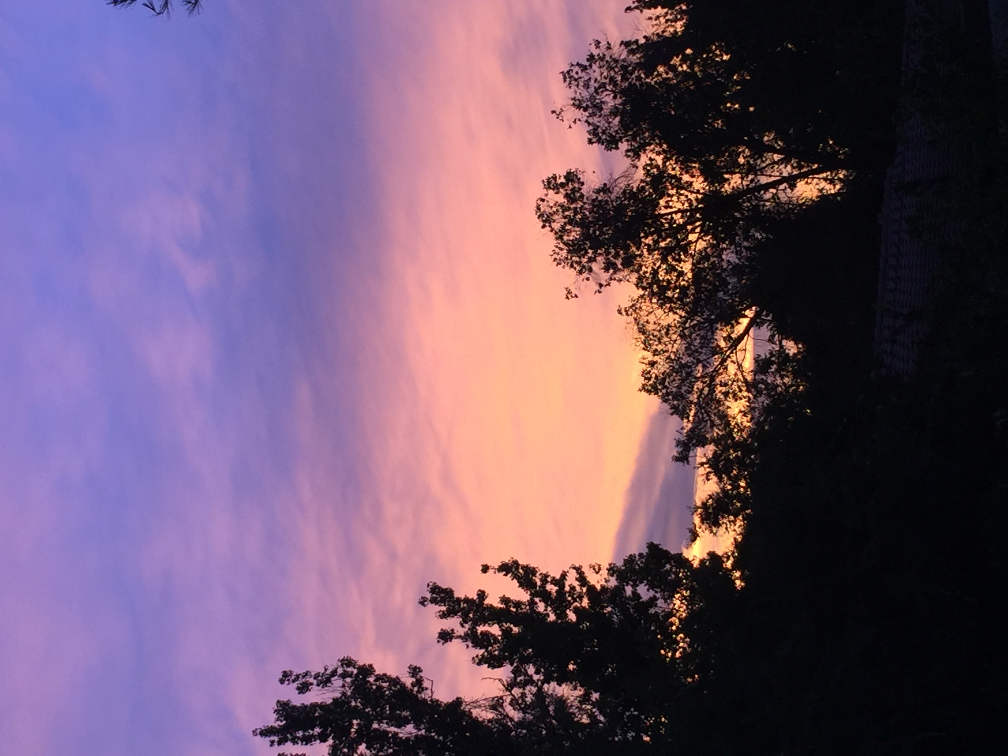
Sunsets are beautiful

Beautiful sunset tonight
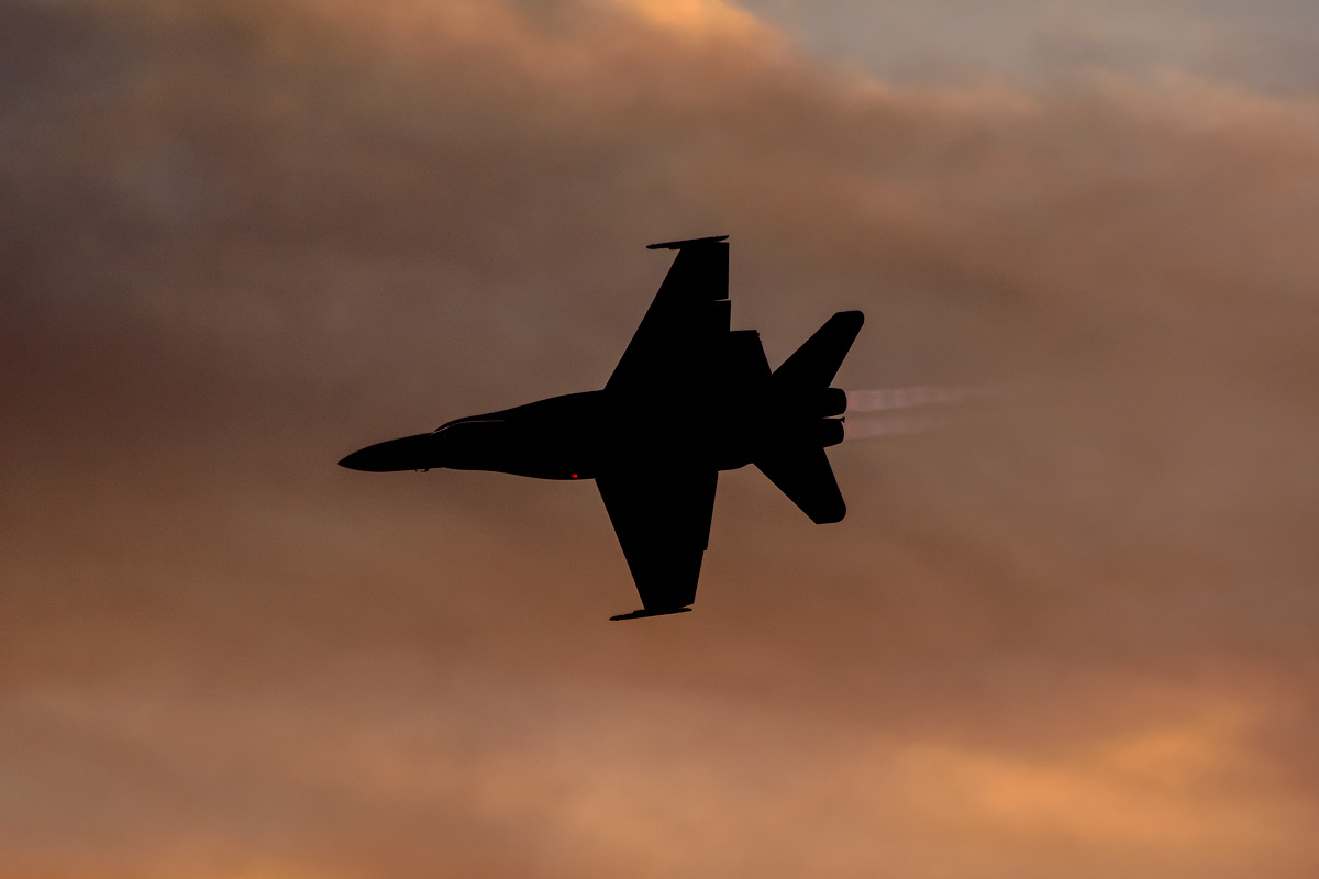
CF-18 Hornet
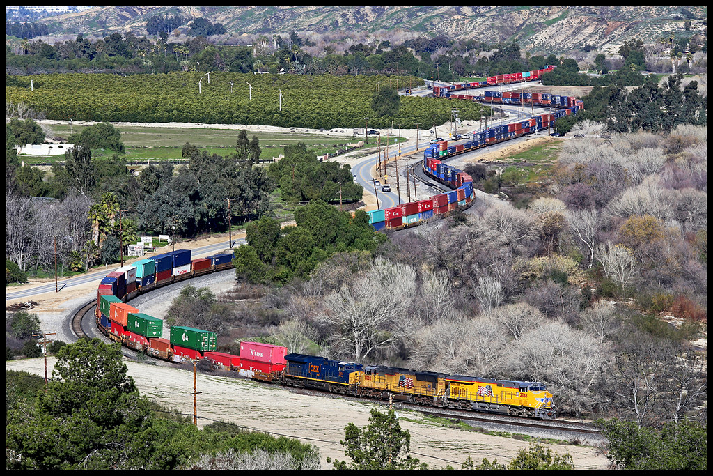
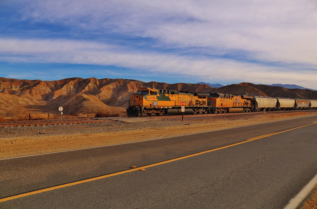
UP 2748

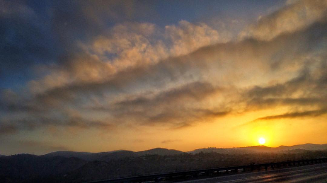
Redlands Light Trails at Dusk

UP 8445
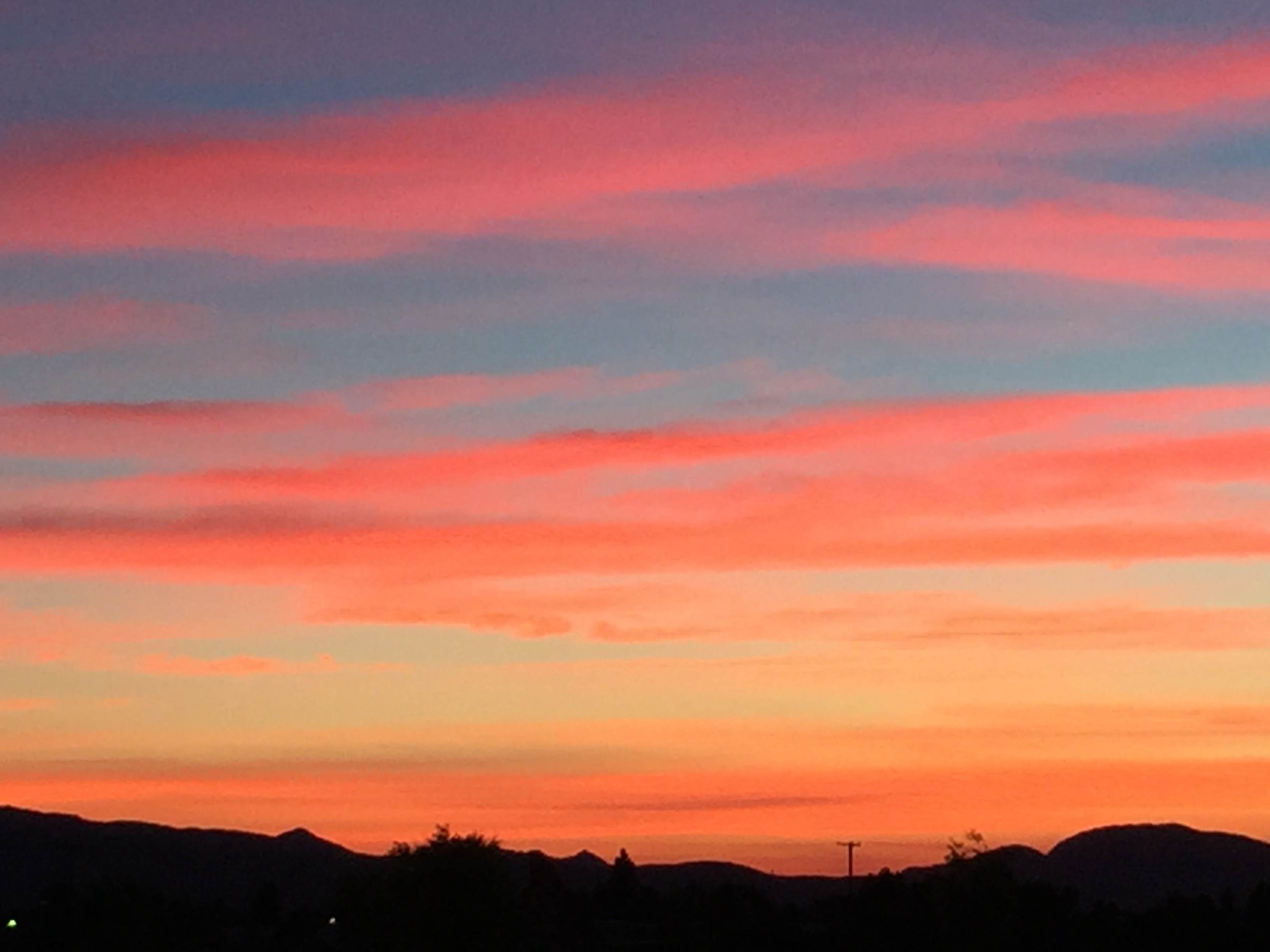
Sunset Redlands

San Timoteo Canyon, Redlands, CA 8-2011
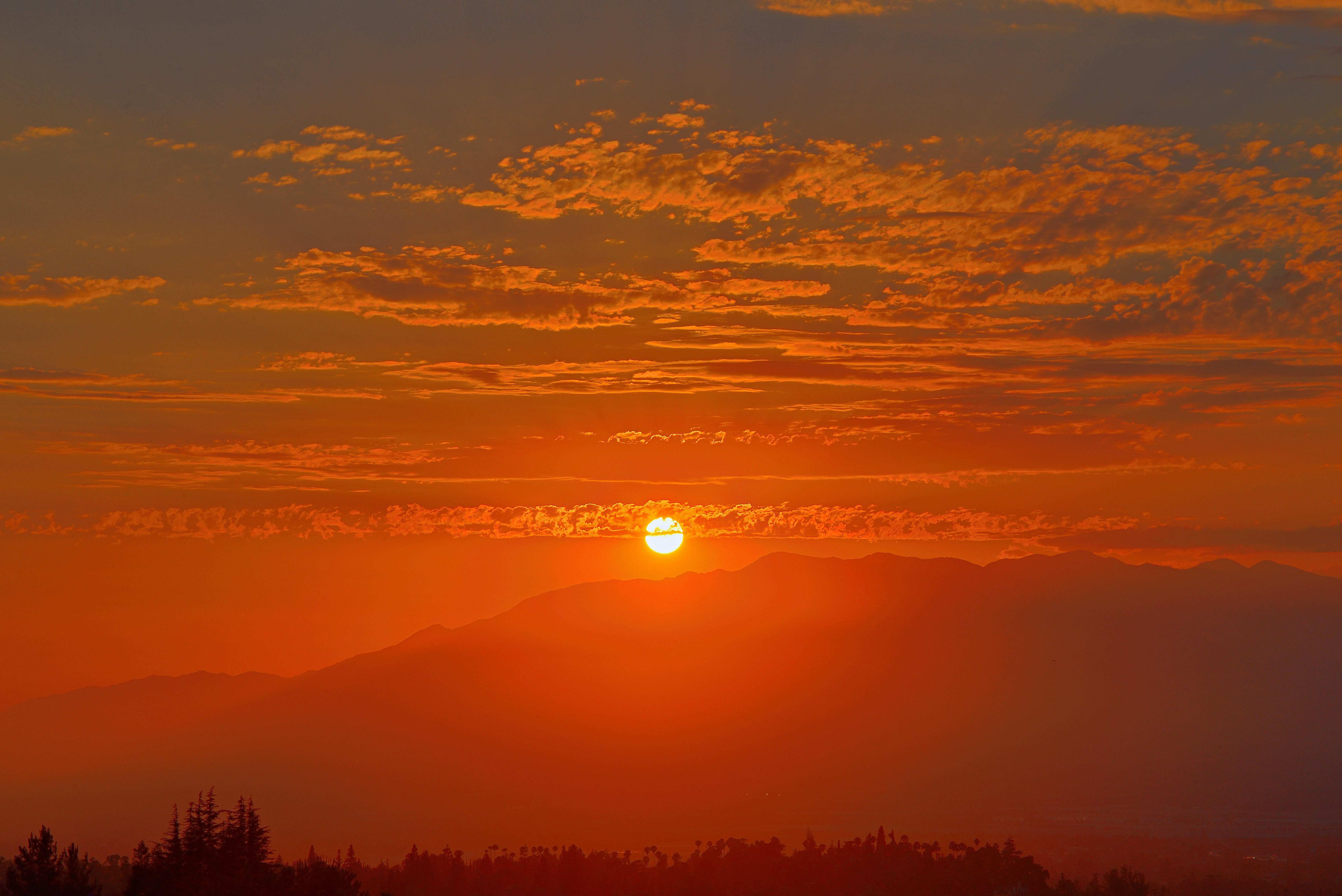
Redlands Sunset
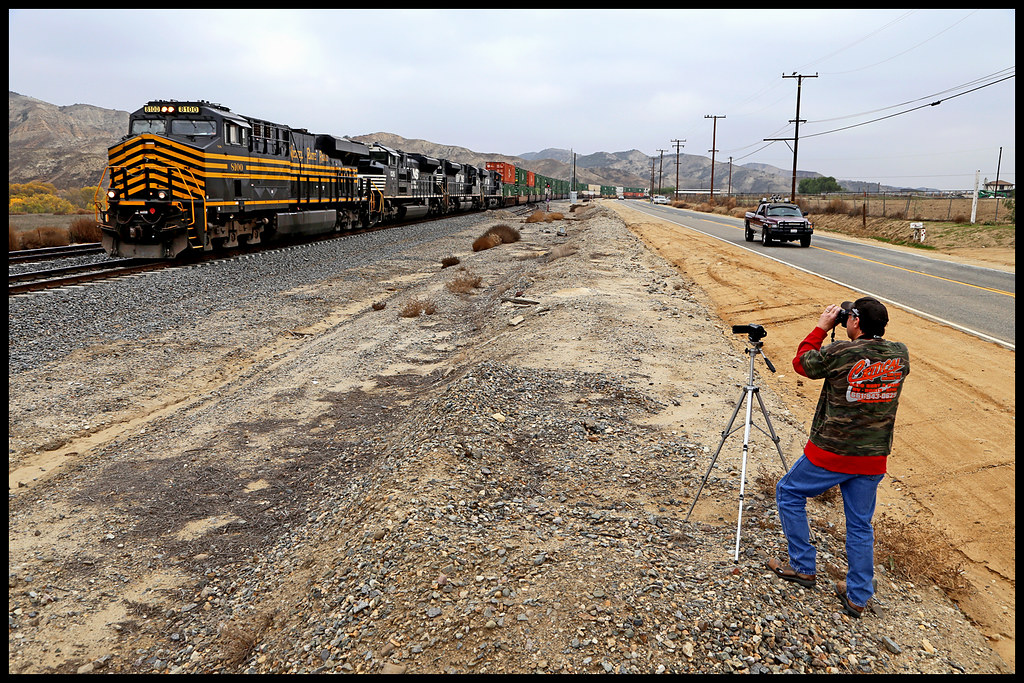
NS 8100
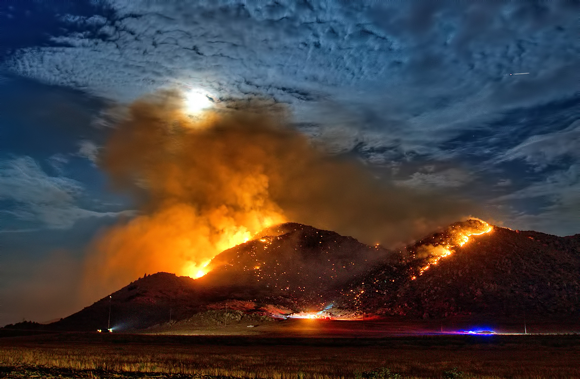
Fire under a Full Moon
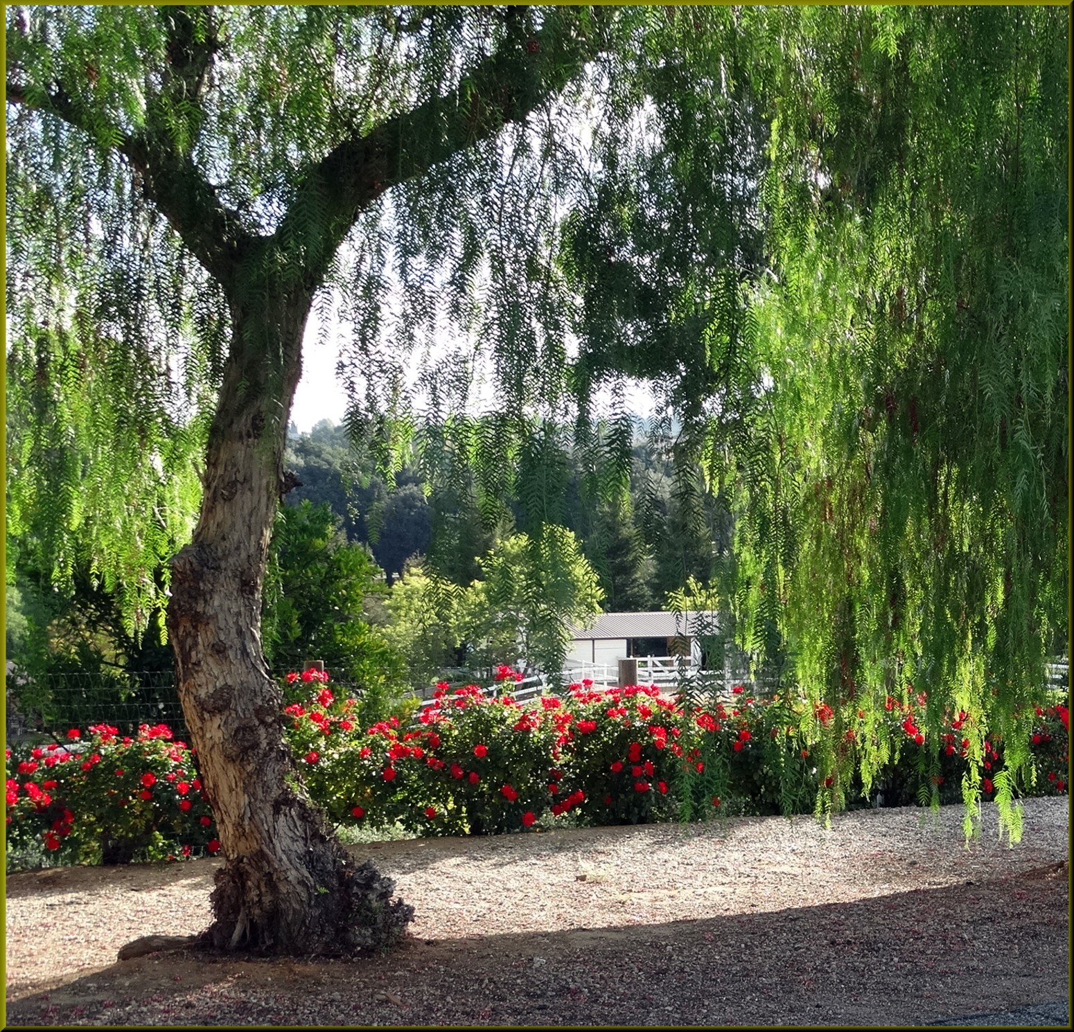
Willow and Roses, Redlands 11-10-13g
Mill Creek Heat

2010-01-08 16.59.42

taste the colors.
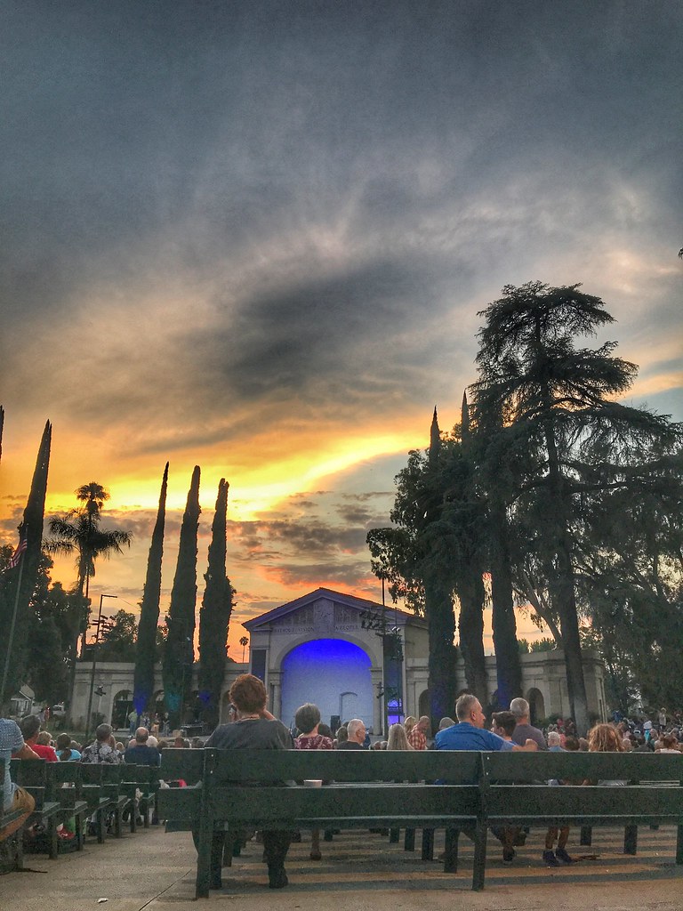
Redlands Bowl Sunset!

Such a lovely sunset. #vscocam

Redlands, CA
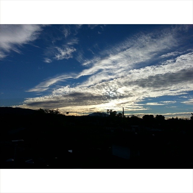
Urban Sunrise

Social Gathering, Ford Park, Redlands, CA 8-12

Saturday's #sunrise at the summit of Mt. San Jacinto, near Palm Springs, Southern California's second-highest peak at 10,834 feet. We took the easiest route, 11-miles round trip from the aerial tramway station at 8,500 feet, starting at 3am from Round Val

Live Oak Farms, Wagon 12-9-12

Wildflower Trail, Live Oak Canyon 6-16-13

Living Large, Canyon View, Redlands 5-19-13
Sunrise, Live Oak Wash 12-9-12
New Year New Camera Old Classic
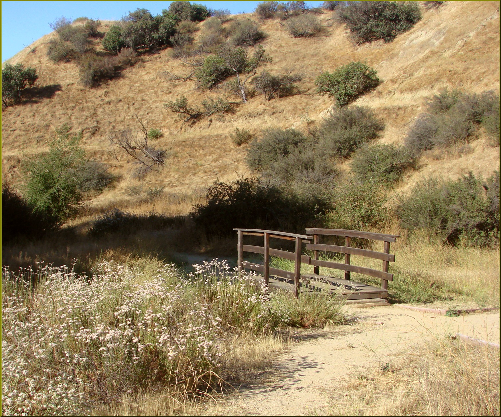
Bridge, Oakmont Park 6-16-13

Four Out Of Thirty-Five
Sunrise octobre
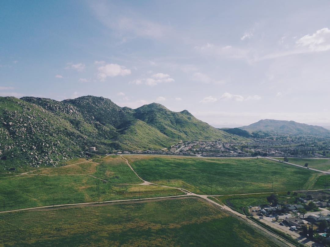
Roadtrip Flying - Moreno Valley - ????⛰????
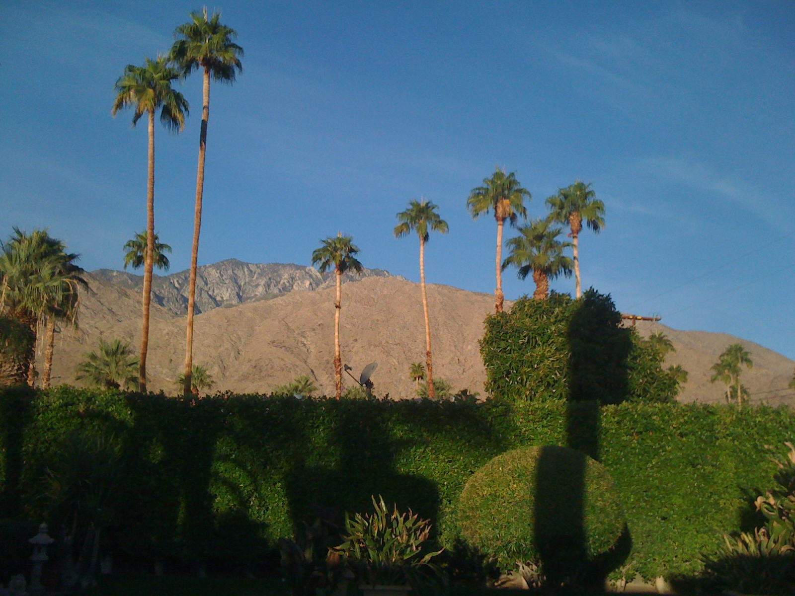
Palm Springs Sunrise on San Jaconto
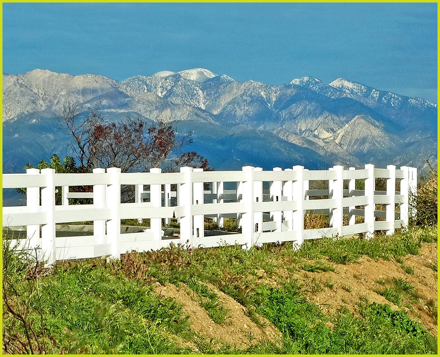
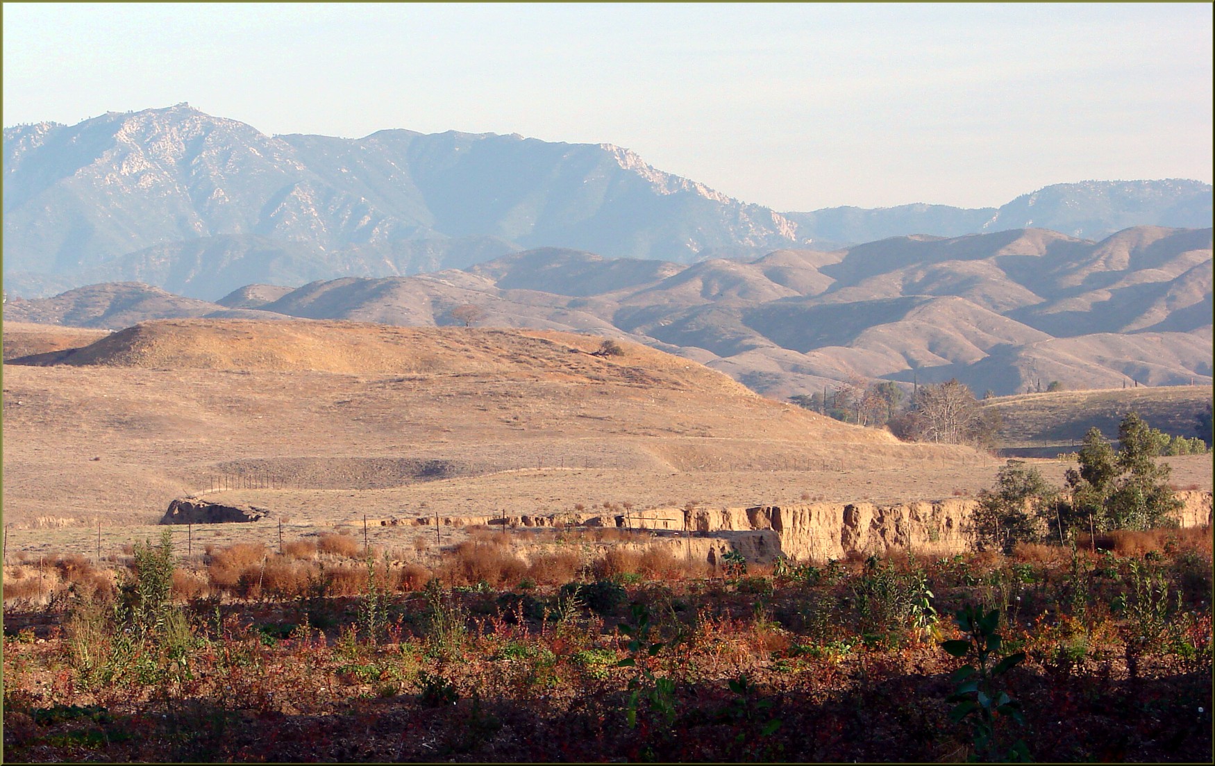
Mt. Baldy from Panorama Pt 3-9-14f
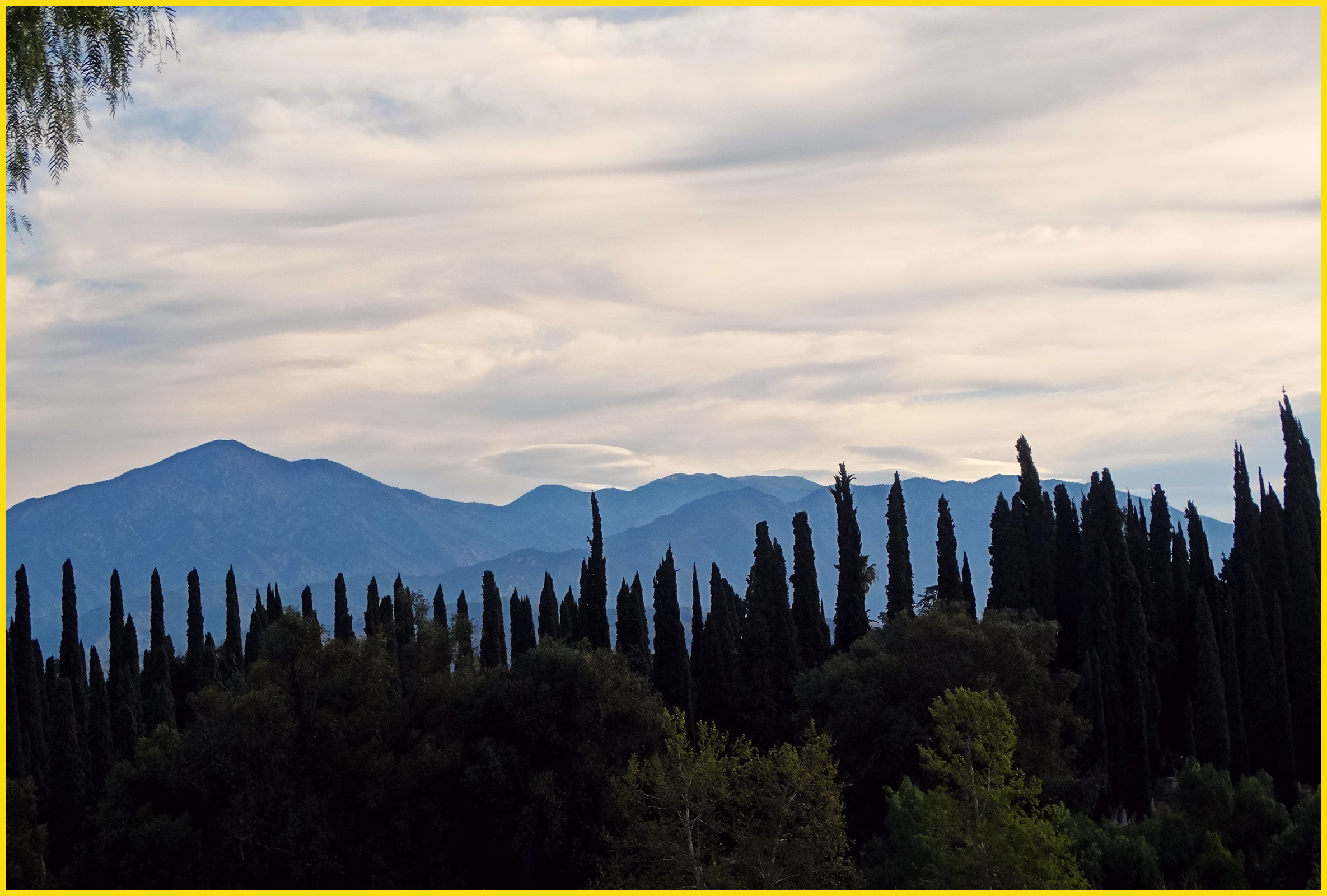
Clouds Over Mountains 2-16-14
Morning Sun, Oakmont Park 6-16-13
Another Teqilla Sunrise
Spectacular Sunrise #Redlands #NoFilter
Good #Morning! #California #sunrise #sunrises #sky #clouds #LA bound.
Morning Sunrise #MorningSunrise #Sunrise #AmateurPhotographer #AmateurPhotography #BOBthePhotography
Mapa de Avenue E, Yucaipa, CA, EE. UU.
Buscar otro lugar
Lugares cercanos
13th Street, 13th St, Yucaipa, CA, EE. UU.
14th St, Yucaipa, CA, EE. UU.
Lotus Ave, Yucaipa, CA, EE. UU.
Brooks Ln, Yucaipa, CA, EE. UU.
10th St, Yucaipa, CA, EE. UU.
Clarion Ct, Yucaipa, CA, EE. UU.
Yucaipa Blvd, Yucaipa, CA, EE. UU.
Rosemond St, Yucaipa, CA, EE. UU.
Yucaipa Boulevard, Yucaipa Blvd, Yucaipa, CA, EE. UU.
Mira Mesa Dr, Yucaipa, CA, EE. UU.
Washington Dr, Yucaipa, CA, EE. UU.
Highview Dr, Redlands, CA, EE. UU.
Cienega Drive Trail, Cienega Dr Trail, Yucaipa, CA, EE. UU.
Washington Dr, Yucaipa, CA, EE. UU.
Pecan Ave, Yucaipa, CA, EE. UU.
Miners Dr, Yucaipa, CA, EE. UU.
Marshall Rd, Yucaipa, CA, EE. UU.
Avenue E, Yucaipa, CA, EE. UU.
Highview Ln, Redlands, CA, EE. UU.
E Sunset Dr N, Redlands, CA, EE. UU.
Búsquedas recientes
- Horas de salida y puesta de sol de Groblershoop, Sudáfrica
- Horas de salida y puesta de sol de Petriti, Greece
- Horas de salida y puesta de sol de Chesaw Rd, Oroville, WA, EE. UU.
- Horas de salida y puesta de sol de N, Mt Pleasant, UT, USA
- Horas de salida y puesta de sol de Kawanecho Sasamado, Shimada, Shizuoka -, Japan
- Horas de salida y puesta de sol de 6 Rue Jules Ferry, Beausoleil, Francia
- Horas de salida y puesta de sol de Ochandiano, Vizcaya, España
- Horas de salida y puesta de sol de Sattva Horizon, 4JC6+G9P, Vinayak Nagar, Kattigenahalli, Bengaluru, Karnataka, India
- Horas de salida y puesta de sol de Mount Fuji, Kitayama, Fujinomiya, Shizuoka -, Japan
- Horas de salida y puesta de sol de Laurel Rd, Townsend, TN, USA