Horas de salida y puesta de sol de 69 Hinote Shinden, Hanyū-shi, Saitama-ken -, Japón
Location: Japón > Prefectura de Saitama > Hanyū >
Zona horaria:
Asia/Tokyo
Hora local:
2024-04-29 10:43:13
Longitud:
139.5977326
Latitud:
36.1681752
Salida de sol de hoy:
04:50:27 AM
Puesta de sol de hoy:
06:27:23 PM
La duración del día hoy:
13h 36m 56s
Salida de sol de mañana:
04:49:20 AM
Puesta de sol de mañana:
06:28:15 PM
La duración del día mañana:
13h 38m 55s
Mostrar todas las fechas
| Fecha | Salida de sol | Puesta de sol | Duración del día |
|---|---|---|---|
| 01/01/2024 | 06:52:26 AM | 04:37:11 PM | 9h 44m 45s |
| 02/01/2024 | 06:52:36 AM | 04:37:57 PM | 9h 45m 21s |
| 03/01/2024 | 06:52:45 AM | 04:38:44 PM | 9h 45m 59s |
| 04/01/2024 | 06:52:52 AM | 04:39:33 PM | 9h 46m 41s |
| 05/01/2024 | 06:52:57 AM | 04:40:23 PM | 9h 47m 26s |
| 06/01/2024 | 06:52:59 AM | 04:41:13 PM | 9h 48m 14s |
| 07/01/2024 | 06:53:00 AM | 04:42:05 PM | 9h 49m 5s |
| 08/01/2024 | 06:52:59 AM | 04:42:58 PM | 9h 49m 59s |
| 09/01/2024 | 06:52:56 AM | 04:43:52 PM | 9h 50m 56s |
| 10/01/2024 | 06:52:51 AM | 04:44:47 PM | 9h 51m 56s |
| 11/01/2024 | 06:52:44 AM | 04:45:42 PM | 9h 52m 58s |
| 12/01/2024 | 06:52:35 AM | 04:46:39 PM | 9h 54m 4s |
| 13/01/2024 | 06:52:24 AM | 04:47:36 PM | 9h 55m 12s |
| 14/01/2024 | 06:52:11 AM | 04:48:34 PM | 9h 56m 23s |
| 15/01/2024 | 06:51:56 AM | 04:49:33 PM | 9h 57m 37s |
| 16/01/2024 | 06:51:39 AM | 04:50:32 PM | 9h 58m 53s |
| 17/01/2024 | 06:51:20 AM | 04:51:32 PM | 10h 0m 12s |
| 18/01/2024 | 06:50:59 AM | 04:52:32 PM | 10h 1m 33s |
| 19/01/2024 | 06:50:37 AM | 04:53:33 PM | 10h 2m 56s |
| 20/01/2024 | 06:50:12 AM | 04:54:34 PM | 10h 4m 22s |
| 21/01/2024 | 06:49:46 AM | 04:55:36 PM | 10h 5m 50s |
| 22/01/2024 | 06:49:17 AM | 04:56:38 PM | 10h 7m 21s |
| 23/01/2024 | 06:48:47 AM | 04:57:40 PM | 10h 8m 53s |
| 24/01/2024 | 06:48:15 AM | 04:58:43 PM | 10h 10m 28s |
| 25/01/2024 | 06:47:41 AM | 04:59:46 PM | 10h 12m 5s |
| 26/01/2024 | 06:47:06 AM | 05:00:49 PM | 10h 13m 43s |
| 27/01/2024 | 06:46:29 AM | 05:01:52 PM | 10h 15m 23s |
| 28/01/2024 | 06:45:49 AM | 05:02:56 PM | 10h 17m 7s |
| 29/01/2024 | 06:45:09 AM | 05:03:59 PM | 10h 18m 50s |
| 30/01/2024 | 06:44:26 AM | 05:05:03 PM | 10h 20m 37s |
| 31/01/2024 | 06:43:42 AM | 05:06:06 PM | 10h 22m 24s |
| 01/02/2024 | 06:42:56 AM | 05:07:10 PM | 10h 24m 14s |
| 02/02/2024 | 06:42:09 AM | 05:08:13 PM | 10h 26m 4s |
| 03/02/2024 | 06:41:20 AM | 05:09:17 PM | 10h 27m 57s |
| 04/02/2024 | 06:40:30 AM | 05:10:20 PM | 10h 29m 50s |
| 05/02/2024 | 06:39:38 AM | 05:11:23 PM | 10h 31m 45s |
| 06/02/2024 | 06:38:45 AM | 05:12:27 PM | 10h 33m 42s |
| 07/02/2024 | 06:37:50 AM | 05:13:30 PM | 10h 35m 40s |
| 08/02/2024 | 06:36:53 AM | 05:14:32 PM | 10h 37m 39s |
| 09/02/2024 | 06:35:56 AM | 05:15:35 PM | 10h 39m 39s |
| 10/02/2024 | 06:34:57 AM | 05:16:37 PM | 10h 41m 40s |
| 11/02/2024 | 06:33:56 AM | 05:17:39 PM | 10h 43m 43s |
| 12/02/2024 | 06:32:55 AM | 05:18:41 PM | 10h 45m 46s |
| 13/02/2024 | 06:31:52 AM | 05:19:43 PM | 10h 47m 51s |
| 14/02/2024 | 06:30:48 AM | 05:20:44 PM | 10h 49m 56s |
| 15/02/2024 | 06:29:42 AM | 05:21:45 PM | 10h 52m 3s |
| 16/02/2024 | 06:28:36 AM | 05:22:46 PM | 10h 54m 10s |
| 17/02/2024 | 06:27:28 AM | 05:23:46 PM | 10h 56m 18s |
| 18/02/2024 | 06:26:19 AM | 05:24:47 PM | 10h 58m 28s |
| 19/02/2024 | 06:25:10 AM | 05:25:46 PM | 11h 0m 36s |
| 20/02/2024 | 06:23:59 AM | 05:26:46 PM | 11h 2m 47s |
| 21/02/2024 | 06:22:47 AM | 05:27:45 PM | 11h 4m 58s |
| 22/02/2024 | 06:21:34 AM | 05:28:44 PM | 11h 7m 10s |
| 23/02/2024 | 06:20:20 AM | 05:29:43 PM | 11h 9m 23s |
| 24/02/2024 | 06:19:06 AM | 05:30:41 PM | 11h 11m 35s |
| 25/02/2024 | 06:17:50 AM | 05:31:39 PM | 11h 13m 49s |
| 26/02/2024 | 06:16:34 AM | 05:32:36 PM | 11h 16m 2s |
| 27/02/2024 | 06:15:17 AM | 05:33:33 PM | 11h 18m 16s |
| 28/02/2024 | 06:13:59 AM | 05:34:30 PM | 11h 20m 31s |
| 29/02/2024 | 06:12:40 AM | 05:35:27 PM | 11h 22m 47s |
| 01/03/2024 | 06:11:21 AM | 05:36:23 PM | 11h 25m 2s |
| 02/03/2024 | 06:10:01 AM | 05:37:19 PM | 11h 27m 18s |
| 03/03/2024 | 06:08:40 AM | 05:38:15 PM | 11h 29m 35s |
| 04/03/2024 | 06:07:19 AM | 05:39:10 PM | 11h 31m 51s |
| 05/03/2024 | 06:05:57 AM | 05:40:05 PM | 11h 34m 8s |
| 06/03/2024 | 06:04:34 AM | 05:41:00 PM | 11h 36m 26s |
| 07/03/2024 | 06:03:11 AM | 05:41:54 PM | 11h 38m 43s |
| 08/03/2024 | 06:01:48 AM | 05:42:48 PM | 11h 41m 0s |
| 09/03/2024 | 06:00:24 AM | 05:43:42 PM | 11h 43m 18s |
| 10/03/2024 | 05:58:59 AM | 05:44:36 PM | 11h 45m 37s |
| 11/03/2024 | 05:57:35 AM | 05:45:29 PM | 11h 47m 54s |
| 12/03/2024 | 05:56:09 AM | 05:46:23 PM | 11h 50m 14s |
| 13/03/2024 | 05:54:44 AM | 05:47:15 PM | 11h 52m 31s |
| 14/03/2024 | 05:53:18 AM | 05:48:08 PM | 11h 54m 50s |
| 15/03/2024 | 05:51:52 AM | 05:49:01 PM | 11h 57m 9s |
| 16/03/2024 | 05:50:26 AM | 05:49:53 PM | 11h 59m 27s |
| 17/03/2024 | 05:48:59 AM | 05:50:45 PM | 12h 1m 46s |
| 18/03/2024 | 05:47:32 AM | 05:51:37 PM | 12h 4m 5s |
| 19/03/2024 | 05:46:06 AM | 05:52:29 PM | 12h 6m 23s |
| 20/03/2024 | 05:44:38 AM | 05:53:21 PM | 12h 8m 43s |
| 21/03/2024 | 05:43:11 AM | 05:54:12 PM | 12h 11m 1s |
| 22/03/2024 | 05:41:44 AM | 05:55:03 PM | 12h 13m 19s |
| 23/03/2024 | 05:40:17 AM | 05:55:55 PM | 12h 15m 38s |
| 24/03/2024 | 05:38:50 AM | 05:56:46 PM | 12h 17m 56s |
| 25/03/2024 | 05:37:22 AM | 05:57:37 PM | 12h 20m 15s |
| 26/03/2024 | 05:35:55 AM | 05:58:28 PM | 12h 22m 33s |
| 27/03/2024 | 05:34:28 AM | 05:59:19 PM | 12h 24m 51s |
| 28/03/2024 | 05:33:01 AM | 06:00:10 PM | 12h 27m 9s |
| 29/03/2024 | 05:31:34 AM | 06:01:00 PM | 12h 29m 26s |
| 30/03/2024 | 05:30:08 AM | 06:01:51 PM | 12h 31m 43s |
| 31/03/2024 | 05:28:41 AM | 06:02:42 PM | 12h 34m 1s |
| 01/04/2024 | 05:27:15 AM | 06:03:32 PM | 12h 36m 17s |
| 02/04/2024 | 05:25:49 AM | 06:04:23 PM | 12h 38m 34s |
| 03/04/2024 | 05:24:23 AM | 06:05:14 PM | 12h 40m 51s |
| 04/04/2024 | 05:22:58 AM | 06:06:04 PM | 12h 43m 6s |
| 05/04/2024 | 05:21:33 AM | 06:06:55 PM | 12h 45m 22s |
| 06/04/2024 | 05:20:08 AM | 06:07:45 PM | 12h 47m 37s |
| 07/04/2024 | 05:18:44 AM | 06:08:36 PM | 12h 49m 52s |
| 08/04/2024 | 05:17:20 AM | 06:09:27 PM | 12h 52m 7s |
| 09/04/2024 | 05:15:56 AM | 06:10:17 PM | 12h 54m 21s |
| 10/04/2024 | 05:14:33 AM | 06:11:08 PM | 12h 56m 35s |
| 11/04/2024 | 05:13:11 AM | 06:11:59 PM | 12h 58m 48s |
| 12/04/2024 | 05:11:49 AM | 06:12:50 PM | 13h 1m 1s |
| 13/04/2024 | 05:10:28 AM | 06:13:41 PM | 13h 3m 13s |
| 14/04/2024 | 05:09:07 AM | 06:14:32 PM | 13h 5m 25s |
| 15/04/2024 | 05:07:47 AM | 06:15:23 PM | 13h 7m 36s |
| 16/04/2024 | 05:06:28 AM | 06:16:14 PM | 13h 9m 46s |
| 17/04/2024 | 05:05:09 AM | 06:17:05 PM | 13h 11m 56s |
| 18/04/2024 | 05:03:51 AM | 06:17:56 PM | 13h 14m 5s |
| 19/04/2024 | 05:02:34 AM | 06:18:47 PM | 13h 16m 13s |
| 20/04/2024 | 05:01:18 AM | 06:19:38 PM | 13h 18m 20s |
| 21/04/2024 | 05:00:02 AM | 06:20:30 PM | 13h 20m 28s |
| 22/04/2024 | 04:58:47 AM | 06:21:21 PM | 13h 22m 34s |
| 23/04/2024 | 04:57:33 AM | 06:22:12 PM | 13h 24m 39s |
| 24/04/2024 | 04:56:21 AM | 06:23:04 PM | 13h 26m 43s |
| 25/04/2024 | 04:55:08 AM | 06:23:55 PM | 13h 28m 47s |
| 26/04/2024 | 04:53:57 AM | 06:24:47 PM | 13h 30m 50s |
| 27/04/2024 | 04:52:47 AM | 06:25:38 PM | 13h 32m 51s |
| 28/04/2024 | 04:51:38 AM | 06:26:30 PM | 13h 34m 52s |
| 29/04/2024 | 04:50:30 AM | 06:27:21 PM | 13h 36m 51s |
| 30/04/2024 | 04:49:23 AM | 06:28:13 PM | 13h 38m 50s |
| 01/05/2024 | 04:48:17 AM | 06:29:04 PM | 13h 40m 47s |
| 02/05/2024 | 04:47:13 AM | 06:29:55 PM | 13h 42m 42s |
| 03/05/2024 | 04:46:09 AM | 06:30:47 PM | 13h 44m 38s |
| 04/05/2024 | 04:45:06 AM | 06:31:38 PM | 13h 46m 32s |
| 05/05/2024 | 04:44:05 AM | 06:32:29 PM | 13h 48m 24s |
| 06/05/2024 | 04:43:05 AM | 06:33:20 PM | 13h 50m 15s |
| 07/05/2024 | 04:42:07 AM | 06:34:11 PM | 13h 52m 4s |
| 08/05/2024 | 04:41:09 AM | 06:35:02 PM | 13h 53m 53s |
| 09/05/2024 | 04:40:13 AM | 06:35:52 PM | 13h 55m 39s |
| 10/05/2024 | 04:39:18 AM | 06:36:43 PM | 13h 57m 25s |
| 11/05/2024 | 04:38:25 AM | 06:37:33 PM | 13h 59m 8s |
| 12/05/2024 | 04:37:33 AM | 06:38:23 PM | 14h 0m 50s |
| 13/05/2024 | 04:36:42 AM | 06:39:12 PM | 14h 2m 30s |
| 14/05/2024 | 04:35:53 AM | 06:40:02 PM | 14h 4m 9s |
| 15/05/2024 | 04:35:05 AM | 06:40:51 PM | 14h 5m 46s |
| 16/05/2024 | 04:34:19 AM | 06:41:39 PM | 14h 7m 20s |
| 17/05/2024 | 04:33:34 AM | 06:42:28 PM | 14h 8m 54s |
| 18/05/2024 | 04:32:51 AM | 06:43:16 PM | 14h 10m 25s |
| 19/05/2024 | 04:32:10 AM | 06:44:03 PM | 14h 11m 53s |
| 20/05/2024 | 04:31:29 AM | 06:44:50 PM | 14h 13m 21s |
| 21/05/2024 | 04:30:51 AM | 06:45:37 PM | 14h 14m 46s |
| 22/05/2024 | 04:30:14 AM | 06:46:22 PM | 14h 16m 8s |
| 23/05/2024 | 04:29:39 AM | 06:47:08 PM | 14h 17m 29s |
| 24/05/2024 | 04:29:05 AM | 06:47:53 PM | 14h 18m 48s |
| 25/05/2024 | 04:28:33 AM | 06:48:37 PM | 14h 20m 4s |
| 26/05/2024 | 04:28:02 AM | 06:49:20 PM | 14h 21m 18s |
| 27/05/2024 | 04:27:34 AM | 06:50:03 PM | 14h 22m 29s |
| 28/05/2024 | 04:27:07 AM | 06:50:45 PM | 14h 23m 38s |
| 29/05/2024 | 04:26:41 AM | 06:51:26 PM | 14h 24m 45s |
| 30/05/2024 | 04:26:18 AM | 06:52:06 PM | 14h 25m 48s |
| 31/05/2024 | 04:25:56 AM | 06:52:46 PM | 14h 26m 50s |
| 01/06/2024 | 04:25:35 AM | 06:53:24 PM | 14h 27m 49s |
| 02/06/2024 | 04:25:17 AM | 06:54:02 PM | 14h 28m 45s |
| 03/06/2024 | 04:25:00 AM | 06:54:39 PM | 14h 29m 39s |
| 04/06/2024 | 04:24:45 AM | 06:55:14 PM | 14h 30m 29s |
| 05/06/2024 | 04:24:31 AM | 06:55:49 PM | 14h 31m 18s |
| 06/06/2024 | 04:24:20 AM | 06:56:23 PM | 14h 32m 3s |
| 07/06/2024 | 04:24:10 AM | 06:56:55 PM | 14h 32m 45s |
| 08/06/2024 | 04:24:01 AM | 06:57:26 PM | 14h 33m 25s |
| 09/06/2024 | 04:23:55 AM | 06:57:56 PM | 14h 34m 1s |
| 10/06/2024 | 04:23:50 AM | 06:58:25 PM | 14h 34m 35s |
| 11/06/2024 | 04:23:47 AM | 06:58:53 PM | 14h 35m 6s |
| 12/06/2024 | 04:23:45 AM | 06:59:19 PM | 14h 35m 34s |
| 13/06/2024 | 04:23:45 AM | 06:59:44 PM | 14h 35m 59s |
| 14/06/2024 | 04:23:47 AM | 07:00:08 PM | 14h 36m 21s |
| 15/06/2024 | 04:23:50 AM | 07:00:30 PM | 14h 36m 40s |
| 16/06/2024 | 04:23:56 AM | 07:00:51 PM | 14h 36m 55s |
| 17/06/2024 | 04:24:02 AM | 07:01:10 PM | 14h 37m 8s |
| 18/06/2024 | 04:24:10 AM | 07:01:28 PM | 14h 37m 18s |
| 19/06/2024 | 04:24:20 AM | 07:01:44 PM | 14h 37m 24s |
| 20/06/2024 | 04:24:32 AM | 07:01:59 PM | 14h 37m 27s |
| 21/06/2024 | 04:24:44 AM | 07:02:12 PM | 14h 37m 28s |
| 22/06/2024 | 04:24:59 AM | 07:02:24 PM | 14h 37m 25s |
| 23/06/2024 | 04:25:15 AM | 07:02:34 PM | 14h 37m 19s |
| 24/06/2024 | 04:25:32 AM | 07:02:42 PM | 14h 37m 10s |
| 25/06/2024 | 04:25:51 AM | 07:02:49 PM | 14h 36m 58s |
| 26/06/2024 | 04:26:11 AM | 07:02:54 PM | 14h 36m 43s |
| 27/06/2024 | 04:26:32 AM | 07:02:58 PM | 14h 36m 26s |
| 28/06/2024 | 04:26:55 AM | 07:03:00 PM | 14h 36m 5s |
| 29/06/2024 | 04:27:19 AM | 07:03:00 PM | 14h 35m 41s |
| 30/06/2024 | 04:27:45 AM | 07:02:58 PM | 14h 35m 13s |
| 01/07/2024 | 04:28:11 AM | 07:02:55 PM | 14h 34m 44s |
| 02/07/2024 | 04:28:39 AM | 07:02:50 PM | 14h 34m 11s |
| 03/07/2024 | 04:29:08 AM | 07:02:43 PM | 14h 33m 35s |
| 04/07/2024 | 04:29:38 AM | 07:02:34 PM | 14h 32m 56s |
| 05/07/2024 | 04:30:09 AM | 07:02:24 PM | 14h 32m 15s |
| 06/07/2024 | 04:30:41 AM | 07:02:12 PM | 14h 31m 31s |
| 07/07/2024 | 04:31:15 AM | 07:01:58 PM | 14h 30m 43s |
| 08/07/2024 | 04:31:49 AM | 07:01:42 PM | 14h 29m 53s |
| 09/07/2024 | 04:32:24 AM | 07:01:25 PM | 14h 29m 1s |
| 10/07/2024 | 04:33:00 AM | 07:01:06 PM | 14h 28m 6s |
| 11/07/2024 | 04:33:37 AM | 07:00:45 PM | 14h 27m 8s |
| 12/07/2024 | 04:34:15 AM | 07:00:22 PM | 14h 26m 7s |
| 13/07/2024 | 04:34:53 AM | 06:59:58 PM | 14h 25m 5s |
| 14/07/2024 | 04:35:33 AM | 06:59:32 PM | 14h 23m 59s |
| 15/07/2024 | 04:36:13 AM | 06:59:04 PM | 14h 22m 51s |
| 16/07/2024 | 04:36:53 AM | 06:58:34 PM | 14h 21m 41s |
| 17/07/2024 | 04:37:35 AM | 06:58:03 PM | 14h 20m 28s |
| 18/07/2024 | 04:38:17 AM | 06:57:30 PM | 14h 19m 13s |
| 19/07/2024 | 04:38:59 AM | 06:56:56 PM | 14h 17m 57s |
| 20/07/2024 | 04:39:42 AM | 06:56:19 PM | 14h 16m 37s |
| 21/07/2024 | 04:40:26 AM | 06:55:42 PM | 14h 15m 16s |
| 22/07/2024 | 04:41:10 AM | 06:55:02 PM | 14h 13m 52s |
| 23/07/2024 | 04:41:55 AM | 06:54:21 PM | 14h 12m 26s |
| 24/07/2024 | 04:42:40 AM | 06:53:38 PM | 14h 10m 58s |
| 25/07/2024 | 04:43:25 AM | 06:52:54 PM | 14h 9m 29s |
| 26/07/2024 | 04:44:11 AM | 06:52:08 PM | 14h 7m 57s |
| 27/07/2024 | 04:44:57 AM | 06:51:21 PM | 14h 6m 24s |
| 28/07/2024 | 04:45:43 AM | 06:50:32 PM | 14h 4m 49s |
| 29/07/2024 | 04:46:30 AM | 06:49:42 PM | 14h 3m 12s |
| 30/07/2024 | 04:47:17 AM | 06:48:50 PM | 14h 1m 33s |
| 31/07/2024 | 04:48:04 AM | 06:47:57 PM | 13h 59m 53s |
| 01/08/2024 | 04:48:51 AM | 06:47:03 PM | 13h 58m 12s |
| 02/08/2024 | 04:49:38 AM | 06:46:07 PM | 13h 56m 29s |
| 03/08/2024 | 04:50:26 AM | 06:45:09 PM | 13h 54m 43s |
| 04/08/2024 | 04:51:14 AM | 06:44:11 PM | 13h 52m 57s |
| 05/08/2024 | 04:52:01 AM | 06:43:11 PM | 13h 51m 10s |
| 06/08/2024 | 04:52:49 AM | 06:42:09 PM | 13h 49m 20s |
| 07/08/2024 | 04:53:37 AM | 06:41:07 PM | 13h 47m 30s |
| 08/08/2024 | 04:54:25 AM | 06:40:03 PM | 13h 45m 38s |
| 09/08/2024 | 04:55:13 AM | 06:38:58 PM | 13h 43m 45s |
| 10/08/2024 | 04:56:01 AM | 06:37:52 PM | 13h 41m 51s |
| 11/08/2024 | 04:56:49 AM | 06:36:45 PM | 13h 39m 56s |
| 12/08/2024 | 04:57:37 AM | 06:35:37 PM | 13h 38m 0s |
| 13/08/2024 | 04:58:25 AM | 06:34:27 PM | 13h 36m 2s |
| 14/08/2024 | 04:59:13 AM | 06:33:17 PM | 13h 34m 4s |
| 15/08/2024 | 05:00:01 AM | 06:32:05 PM | 13h 32m 4s |
| 16/08/2024 | 05:00:49 AM | 06:30:52 PM | 13h 30m 3s |
| 17/08/2024 | 05:01:37 AM | 06:29:39 PM | 13h 28m 2s |
| 18/08/2024 | 05:02:25 AM | 06:28:24 PM | 13h 25m 59s |
| 19/08/2024 | 05:03:13 AM | 06:27:09 PM | 13h 23m 56s |
| 20/08/2024 | 05:04:00 AM | 06:25:53 PM | 13h 21m 53s |
| 21/08/2024 | 05:04:48 AM | 06:24:36 PM | 13h 19m 48s |
| 22/08/2024 | 05:05:35 AM | 06:23:18 PM | 13h 17m 43s |
| 23/08/2024 | 05:06:23 AM | 06:21:59 PM | 13h 15m 36s |
| 24/08/2024 | 05:07:10 AM | 06:20:39 PM | 13h 13m 29s |
| 25/08/2024 | 05:07:57 AM | 06:19:19 PM | 13h 11m 22s |
| 26/08/2024 | 05:08:44 AM | 06:17:58 PM | 13h 9m 14s |
| 27/08/2024 | 05:09:31 AM | 06:16:36 PM | 13h 7m 5s |
| 28/08/2024 | 05:10:18 AM | 06:15:14 PM | 13h 4m 56s |
| 29/08/2024 | 05:11:05 AM | 06:13:51 PM | 13h 2m 46s |
| 30/08/2024 | 05:11:52 AM | 06:12:27 PM | 13h 0m 35s |
| 31/08/2024 | 05:12:39 AM | 06:11:03 PM | 12h 58m 24s |
| 01/09/2024 | 05:13:25 AM | 06:09:39 PM | 12h 56m 14s |
| 02/09/2024 | 05:14:12 AM | 06:08:13 PM | 12h 54m 1s |
| 03/09/2024 | 05:14:59 AM | 06:06:48 PM | 12h 51m 49s |
| 04/09/2024 | 05:15:45 AM | 06:05:21 PM | 12h 49m 36s |
| 05/09/2024 | 05:16:31 AM | 06:03:55 PM | 12h 47m 24s |
| 06/09/2024 | 05:17:18 AM | 06:02:28 PM | 12h 45m 10s |
| 07/09/2024 | 05:18:04 AM | 06:01:01 PM | 12h 42m 57s |
| 08/09/2024 | 05:18:51 AM | 05:59:33 PM | 12h 40m 42s |
| 09/09/2024 | 05:19:37 AM | 05:58:05 PM | 12h 38m 28s |
| 10/09/2024 | 05:20:23 AM | 05:56:37 PM | 12h 36m 14s |
| 11/09/2024 | 05:21:09 AM | 05:55:08 PM | 12h 33m 59s |
| 12/09/2024 | 05:21:56 AM | 05:53:39 PM | 12h 31m 43s |
| 13/09/2024 | 05:22:42 AM | 05:52:10 PM | 12h 29m 28s |
| 14/09/2024 | 05:23:29 AM | 05:50:41 PM | 12h 27m 12s |
| 15/09/2024 | 05:24:15 AM | 05:49:12 PM | 12h 24m 57s |
| 16/09/2024 | 05:25:01 AM | 05:47:43 PM | 12h 22m 42s |
| 17/09/2024 | 05:25:48 AM | 05:46:13 PM | 12h 20m 25s |
| 18/09/2024 | 05:26:35 AM | 05:44:44 PM | 12h 18m 9s |
| 19/09/2024 | 05:27:21 AM | 05:43:14 PM | 12h 15m 53s |
| 20/09/2024 | 05:28:08 AM | 05:41:45 PM | 12h 13m 37s |
| 21/09/2024 | 05:28:55 AM | 05:40:15 PM | 12h 11m 20s |
| 22/09/2024 | 05:29:42 AM | 05:38:46 PM | 12h 9m 4s |
| 23/09/2024 | 05:30:29 AM | 05:37:16 PM | 12h 6m 47s |
| 24/09/2024 | 05:31:17 AM | 05:35:47 PM | 12h 4m 30s |
| 25/09/2024 | 05:32:04 AM | 05:34:18 PM | 12h 2m 14s |
| 26/09/2024 | 05:32:52 AM | 05:32:49 PM | 11h 59m 57s |
| 27/09/2024 | 05:33:40 AM | 05:31:20 PM | 11h 57m 40s |
| 28/09/2024 | 05:34:28 AM | 05:29:52 PM | 11h 55m 24s |
| 29/09/2024 | 05:35:16 AM | 05:28:24 PM | 11h 53m 8s |
| 30/09/2024 | 05:36:05 AM | 05:26:56 PM | 11h 50m 51s |
| 01/10/2024 | 05:36:53 AM | 05:25:28 PM | 11h 48m 35s |
| 02/10/2024 | 05:37:42 AM | 05:24:01 PM | 11h 46m 19s |
| 03/10/2024 | 05:38:31 AM | 05:22:34 PM | 11h 44m 3s |
| 04/10/2024 | 05:39:21 AM | 05:21:08 PM | 11h 41m 47s |
| 05/10/2024 | 05:40:11 AM | 05:19:42 PM | 11h 39m 31s |
| 06/10/2024 | 05:41:01 AM | 05:18:17 PM | 11h 37m 16s |
| 07/10/2024 | 05:41:51 AM | 05:16:52 PM | 11h 35m 1s |
| 08/10/2024 | 05:42:42 AM | 05:15:27 PM | 11h 32m 45s |
| 09/10/2024 | 05:43:33 AM | 05:14:03 PM | 11h 30m 30s |
| 10/10/2024 | 05:44:24 AM | 05:12:40 PM | 11h 28m 16s |
| 11/10/2024 | 05:45:15 AM | 05:11:17 PM | 11h 26m 2s |
| 12/10/2024 | 05:46:07 AM | 05:09:55 PM | 11h 23m 48s |
| 13/10/2024 | 05:46:59 AM | 05:08:34 PM | 11h 21m 35s |
| 14/10/2024 | 05:47:52 AM | 05:07:14 PM | 11h 19m 22s |
| 15/10/2024 | 05:48:45 AM | 05:05:54 PM | 11h 17m 9s |
| 16/10/2024 | 05:49:38 AM | 05:04:35 PM | 11h 14m 57s |
| 17/10/2024 | 05:50:32 AM | 05:03:17 PM | 11h 12m 45s |
| 18/10/2024 | 05:51:26 AM | 05:01:59 PM | 11h 10m 33s |
| 19/10/2024 | 05:52:20 AM | 05:00:43 PM | 11h 8m 23s |
| 20/10/2024 | 05:53:15 AM | 04:59:27 PM | 11h 6m 12s |
| 21/10/2024 | 05:54:10 AM | 04:58:13 PM | 11h 4m 3s |
| 22/10/2024 | 05:55:05 AM | 04:56:59 PM | 11h 1m 54s |
| 23/10/2024 | 05:56:01 AM | 04:55:46 PM | 10h 59m 45s |
| 24/10/2024 | 05:56:57 AM | 04:54:35 PM | 10h 57m 38s |
| 25/10/2024 | 05:57:53 AM | 04:53:24 PM | 10h 55m 31s |
| 26/10/2024 | 05:58:50 AM | 04:52:15 PM | 10h 53m 25s |
| 27/10/2024 | 05:59:47 AM | 04:51:07 PM | 10h 51m 20s |
| 28/10/2024 | 06:00:45 AM | 04:50:00 PM | 10h 49m 15s |
| 29/10/2024 | 06:01:42 AM | 04:48:54 PM | 10h 47m 12s |
| 30/10/2024 | 06:02:40 AM | 04:47:49 PM | 10h 45m 9s |
| 31/10/2024 | 06:03:39 AM | 04:46:46 PM | 10h 43m 7s |
| 01/11/2024 | 06:04:37 AM | 04:45:44 PM | 10h 41m 7s |
| 02/11/2024 | 06:05:36 AM | 04:44:43 PM | 10h 39m 7s |
| 03/11/2024 | 06:06:36 AM | 04:43:44 PM | 10h 37m 8s |
| 04/11/2024 | 06:07:35 AM | 04:42:46 PM | 10h 35m 11s |
| 05/11/2024 | 06:08:35 AM | 04:41:49 PM | 10h 33m 14s |
| 06/11/2024 | 06:09:34 AM | 04:40:54 PM | 10h 31m 20s |
| 07/11/2024 | 06:10:34 AM | 04:40:00 PM | 10h 29m 26s |
| 08/11/2024 | 06:11:35 AM | 04:39:08 PM | 10h 27m 33s |
| 09/11/2024 | 06:12:35 AM | 04:38:18 PM | 10h 25m 43s |
| 10/11/2024 | 06:13:35 AM | 04:37:29 PM | 10h 23m 54s |
| 11/11/2024 | 06:14:36 AM | 04:36:42 PM | 10h 22m 6s |
| 12/11/2024 | 06:15:37 AM | 04:35:56 PM | 10h 20m 19s |
| 13/11/2024 | 06:16:37 AM | 04:35:12 PM | 10h 18m 35s |
| 14/11/2024 | 06:17:38 AM | 04:34:29 PM | 10h 16m 51s |
| 15/11/2024 | 06:18:39 AM | 04:33:49 PM | 10h 15m 10s |
| 16/11/2024 | 06:19:39 AM | 04:33:10 PM | 10h 13m 31s |
| 17/11/2024 | 06:20:40 AM | 04:32:33 PM | 10h 11m 53s |
| 18/11/2024 | 06:21:40 AM | 04:31:57 PM | 10h 10m 17s |
| 19/11/2024 | 06:22:40 AM | 04:31:24 PM | 10h 8m 44s |
| 20/11/2024 | 06:23:40 AM | 04:30:52 PM | 10h 7m 12s |
| 21/11/2024 | 06:24:40 AM | 04:30:23 PM | 10h 5m 43s |
| 22/11/2024 | 06:25:39 AM | 04:29:55 PM | 10h 4m 16s |
| 23/11/2024 | 06:26:38 AM | 04:29:29 PM | 10h 2m 51s |
| 24/11/2024 | 06:27:37 AM | 04:29:05 PM | 10h 1m 28s |
| 25/11/2024 | 06:28:35 AM | 04:28:42 PM | 10h 0m 7s |
| 26/11/2024 | 06:29:33 AM | 04:28:22 PM | 9h 58m 49s |
| 27/11/2024 | 06:30:30 AM | 04:28:04 PM | 9h 57m 34s |
| 28/11/2024 | 06:31:27 AM | 04:27:48 PM | 9h 56m 21s |
| 29/11/2024 | 06:32:23 AM | 04:27:33 PM | 9h 55m 10s |
| 30/11/2024 | 06:33:19 AM | 04:27:21 PM | 9h 54m 2s |
| 01/12/2024 | 06:34:14 AM | 04:27:11 PM | 9h 52m 57s |
| 02/12/2024 | 06:35:08 AM | 04:27:03 PM | 9h 51m 55s |
| 03/12/2024 | 06:36:01 AM | 04:26:57 PM | 9h 50m 56s |
| 04/12/2024 | 06:36:54 AM | 04:26:52 PM | 9h 49m 58s |
| 05/12/2024 | 06:37:45 AM | 04:26:50 PM | 9h 49m 5s |
| 06/12/2024 | 06:38:36 AM | 04:26:50 PM | 9h 48m 14s |
| 07/12/2024 | 06:39:26 AM | 04:26:52 PM | 9h 47m 26s |
| 08/12/2024 | 06:40:14 AM | 04:26:56 PM | 9h 46m 42s |
| 09/12/2024 | 06:41:02 AM | 04:27:02 PM | 9h 46m 0s |
| 10/12/2024 | 06:41:48 AM | 04:27:10 PM | 9h 45m 22s |
| 11/12/2024 | 06:42:33 AM | 04:27:19 PM | 9h 44m 46s |
| 12/12/2024 | 06:43:17 AM | 04:27:31 PM | 9h 44m 14s |
| 13/12/2024 | 06:44:00 AM | 04:27:45 PM | 9h 43m 45s |
| 14/12/2024 | 06:44:41 AM | 04:28:01 PM | 9h 43m 20s |
| 15/12/2024 | 06:45:21 AM | 04:28:19 PM | 9h 42m 58s |
| 16/12/2024 | 06:46:00 AM | 04:28:38 PM | 9h 42m 38s |
| 17/12/2024 | 06:46:37 AM | 04:29:00 PM | 9h 42m 23s |
| 18/12/2024 | 06:47:13 AM | 04:29:23 PM | 9h 42m 10s |
| 19/12/2024 | 06:47:47 AM | 04:29:48 PM | 9h 42m 1s |
| 20/12/2024 | 06:48:19 AM | 04:30:15 PM | 9h 41m 56s |
| 21/12/2024 | 06:48:50 AM | 04:30:44 PM | 9h 41m 54s |
| 22/12/2024 | 06:49:19 AM | 04:31:14 PM | 9h 41m 55s |
| 23/12/2024 | 06:49:47 AM | 04:31:46 PM | 9h 41m 59s |
| 24/12/2024 | 06:50:13 AM | 04:32:20 PM | 9h 42m 7s |
| 25/12/2024 | 06:50:37 AM | 04:32:56 PM | 9h 42m 19s |
| 26/12/2024 | 06:50:59 AM | 04:33:33 PM | 9h 42m 34s |
| 27/12/2024 | 06:51:19 AM | 04:34:11 PM | 9h 42m 52s |
| 28/12/2024 | 06:51:38 AM | 04:34:51 PM | 9h 43m 13s |
| 29/12/2024 | 06:51:55 AM | 04:35:33 PM | 9h 43m 38s |
| 30/12/2024 | 06:52:10 AM | 04:36:16 PM | 9h 44m 6s |
Fotos
サンライズ
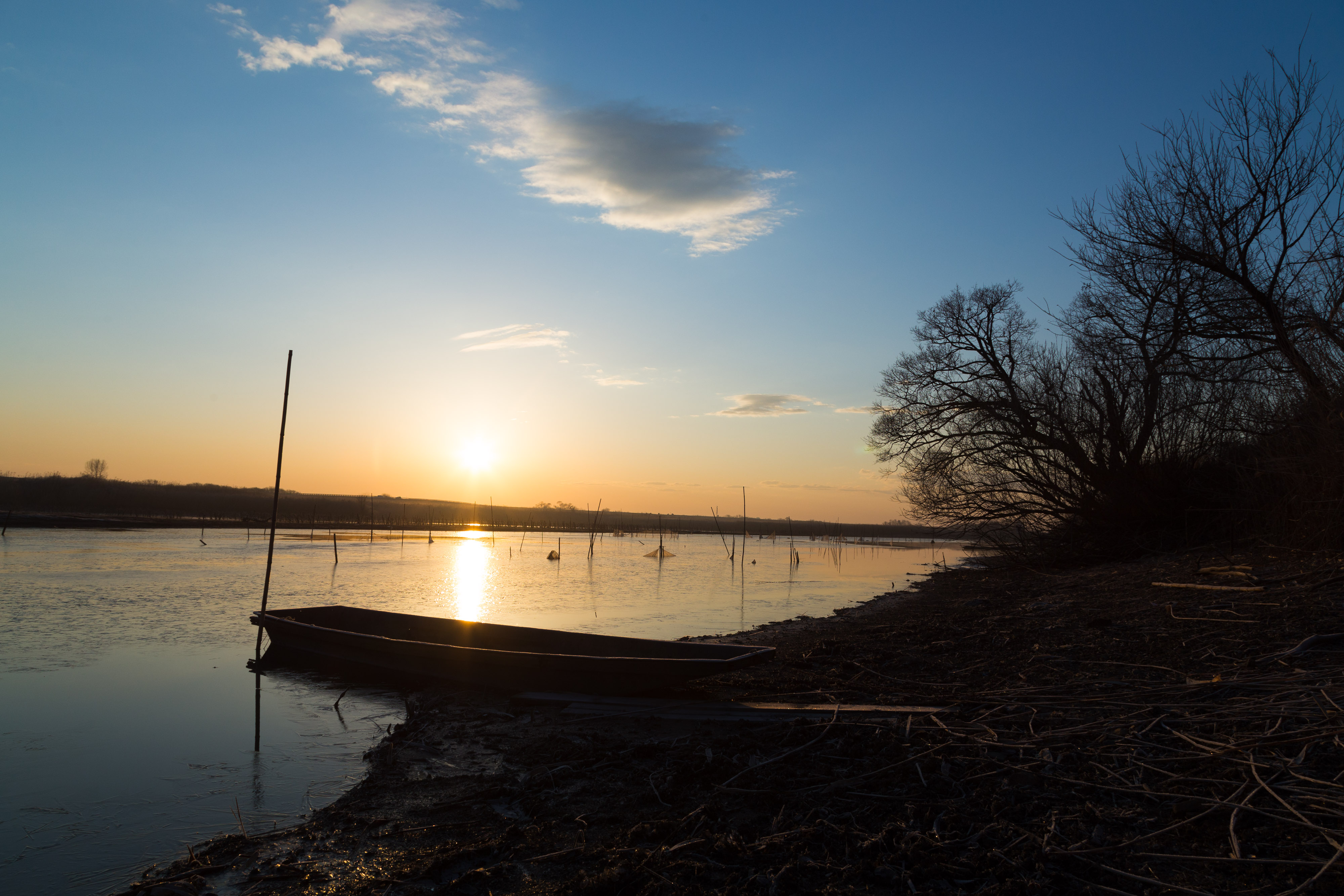
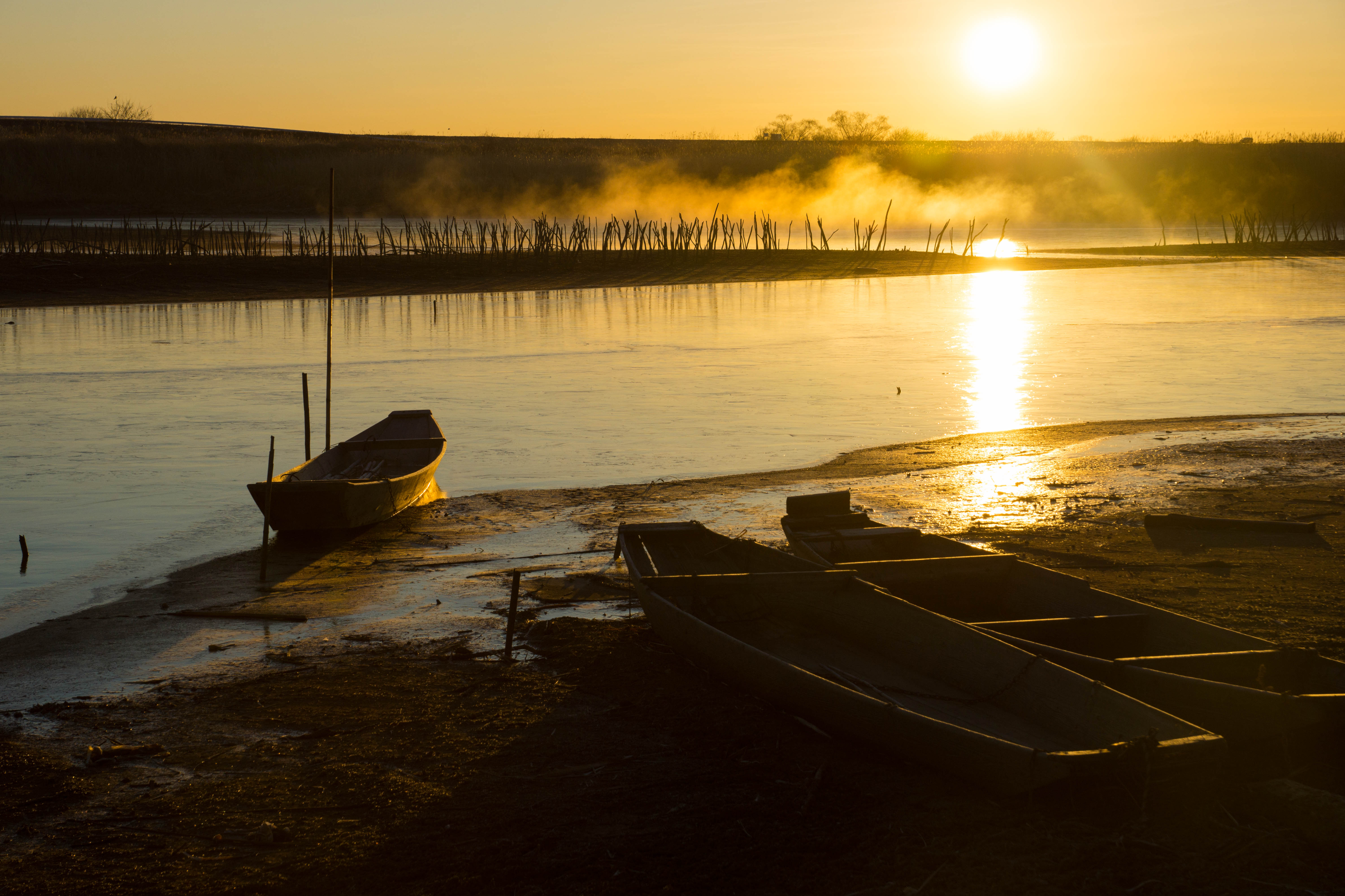
morning at watarase
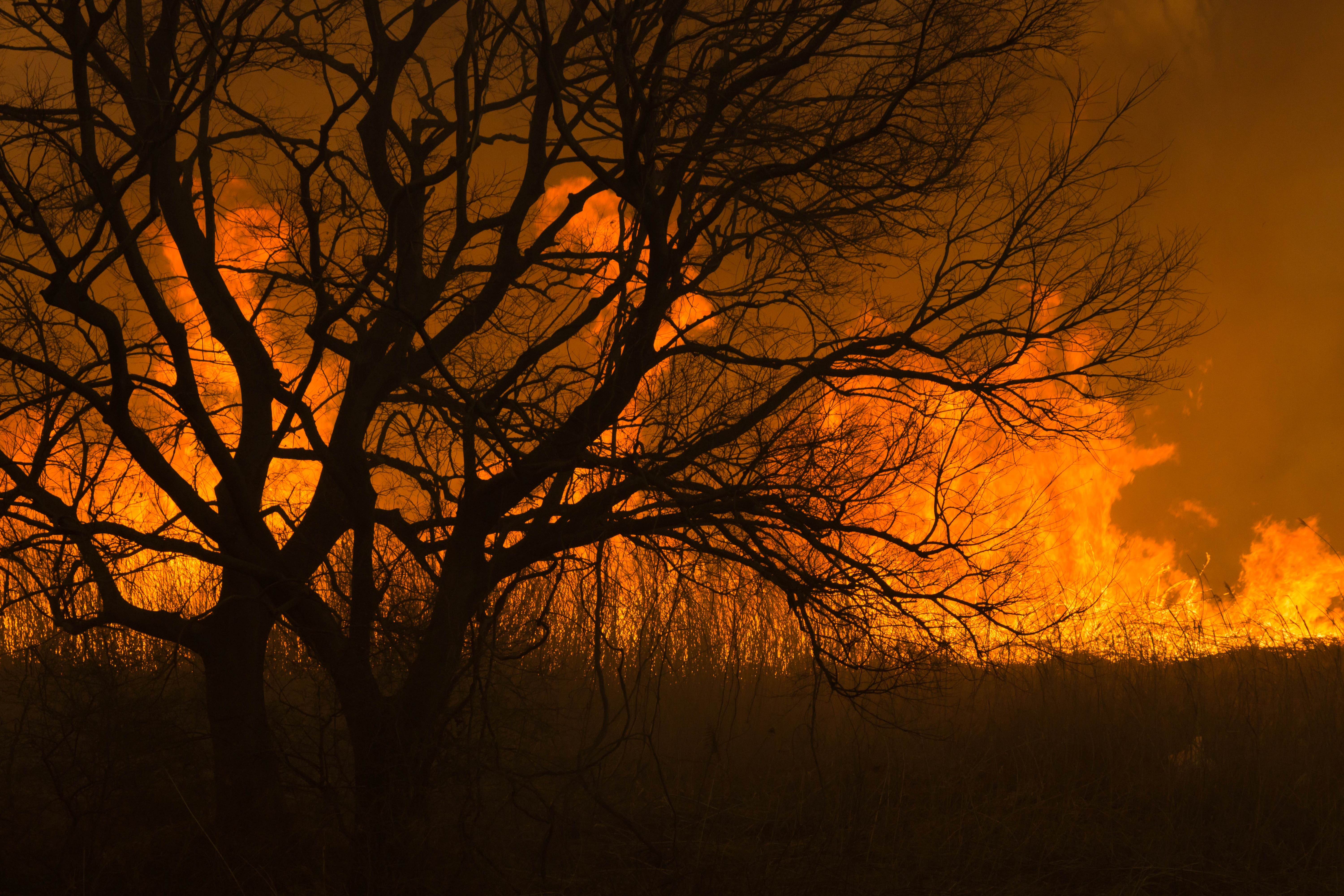
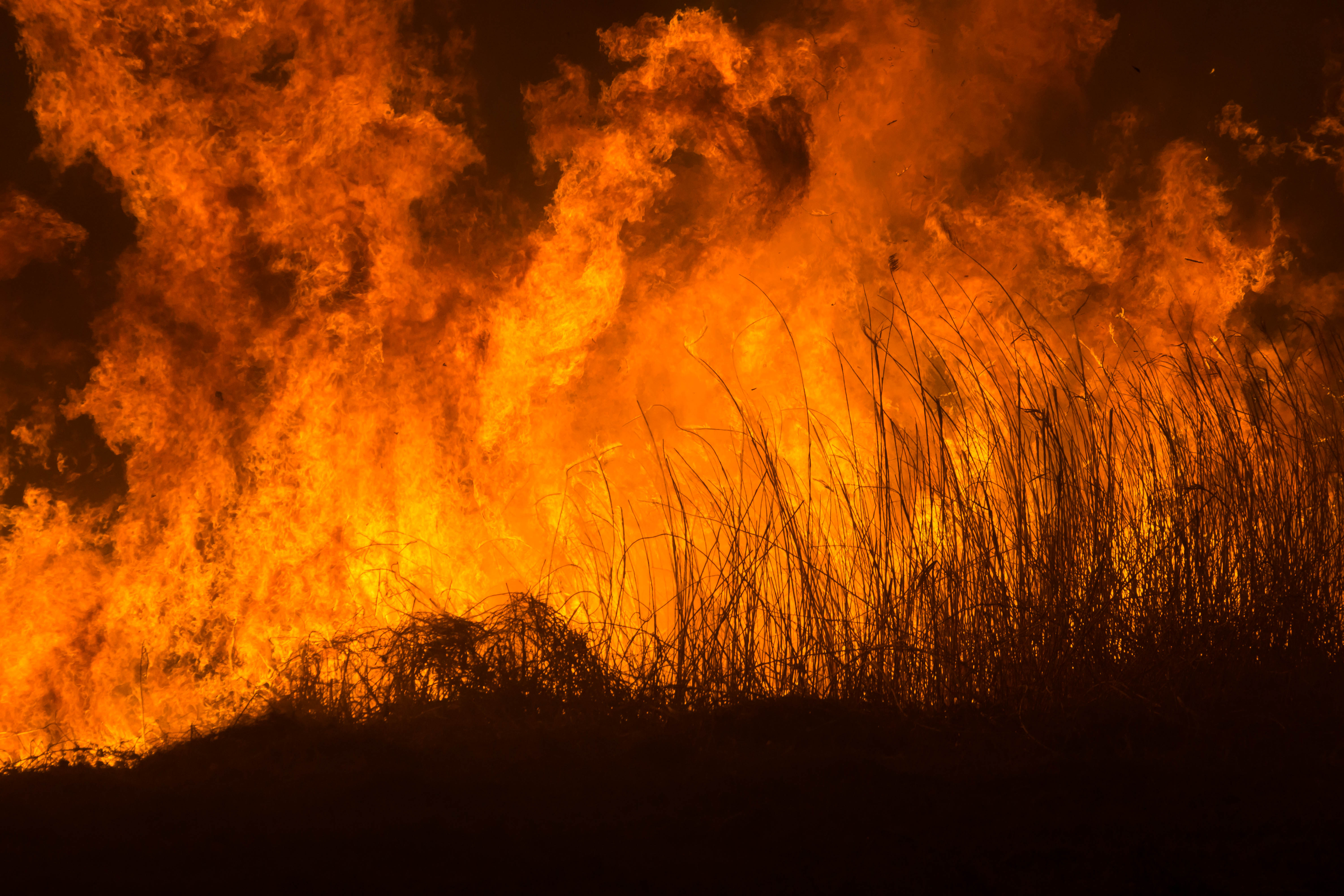
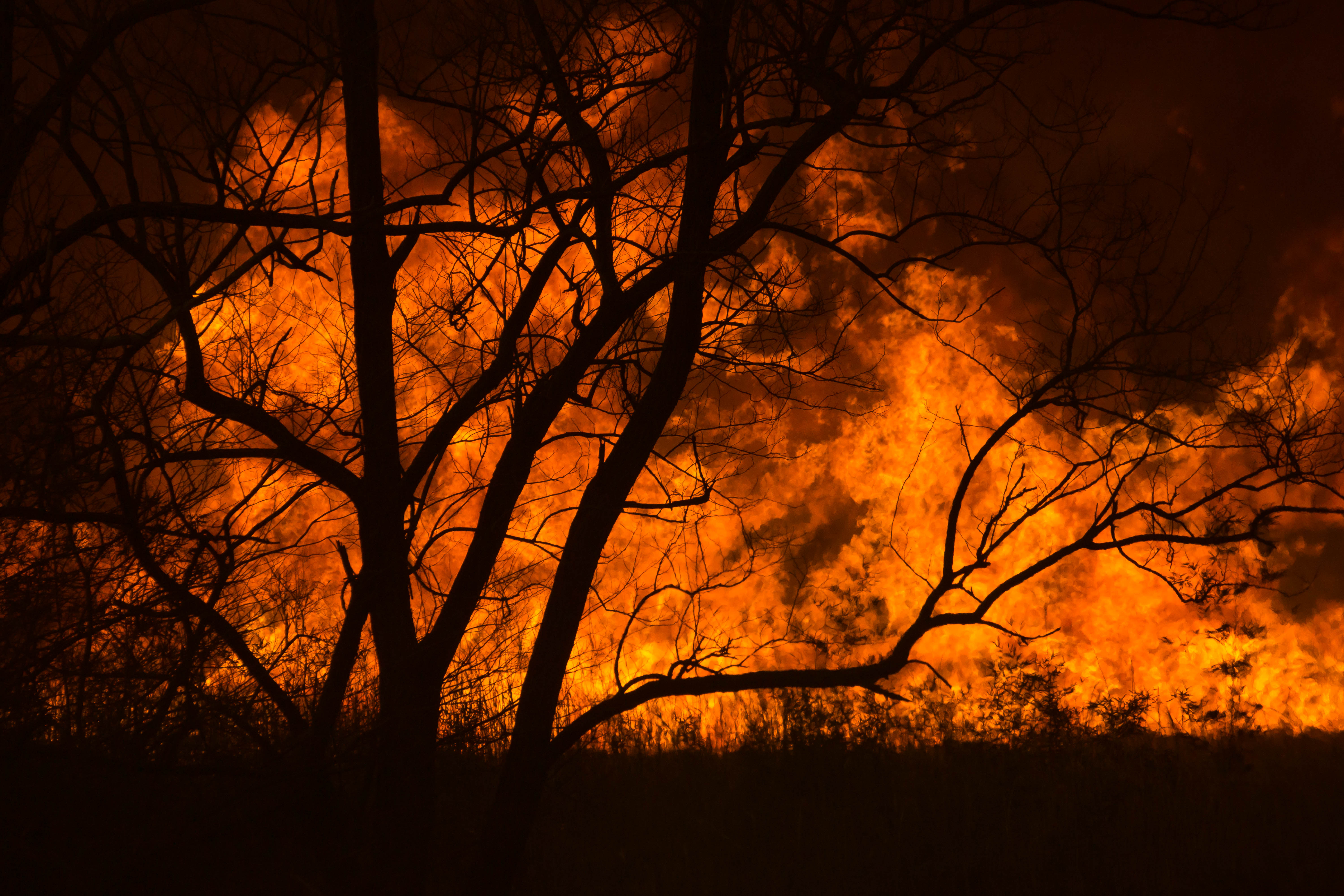
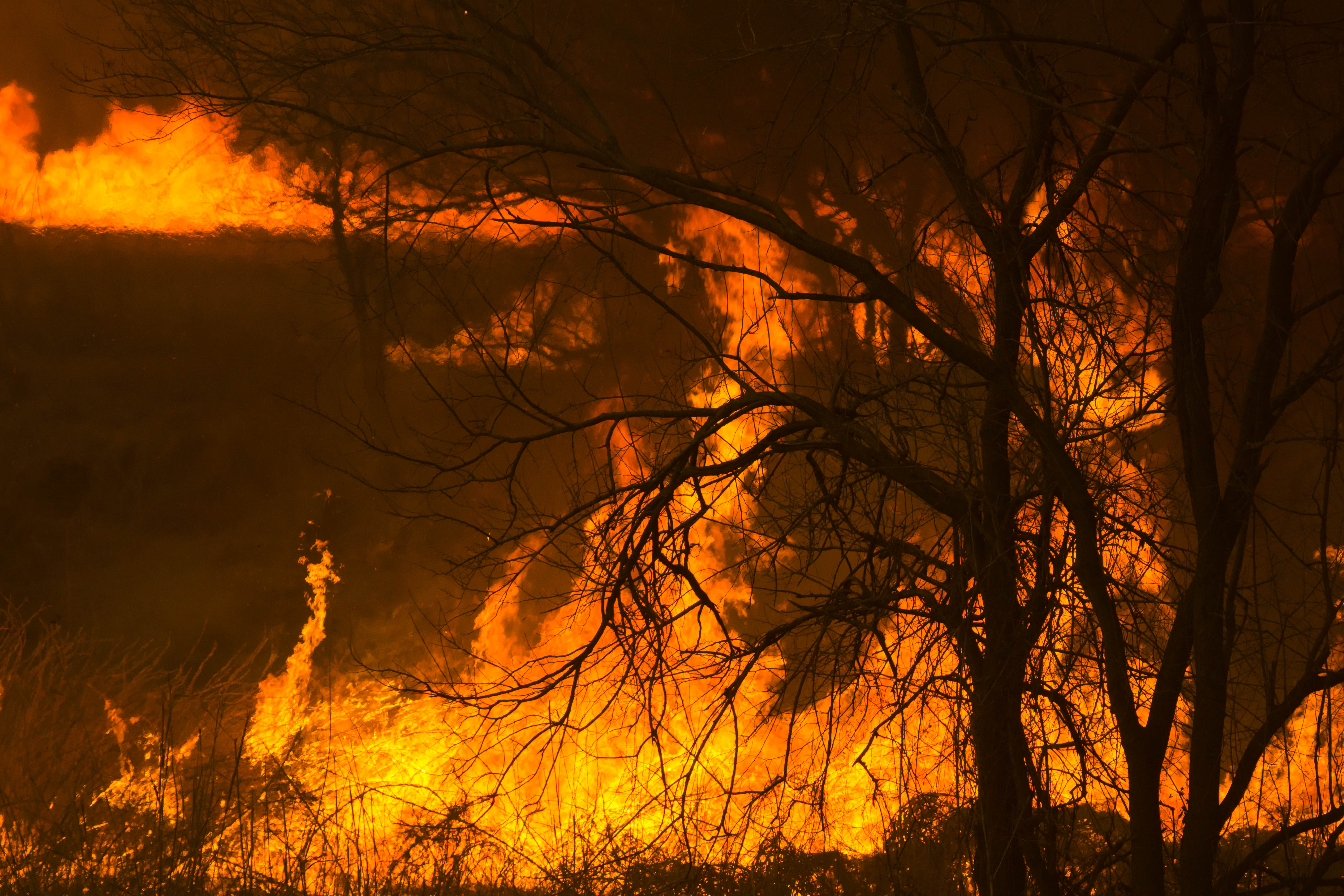
Reed burning in the Watarase anti-flood pond
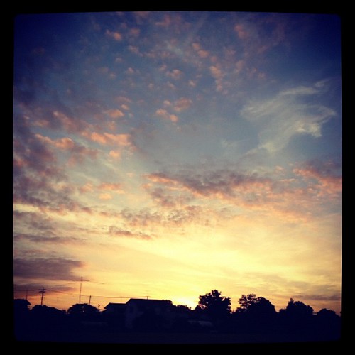
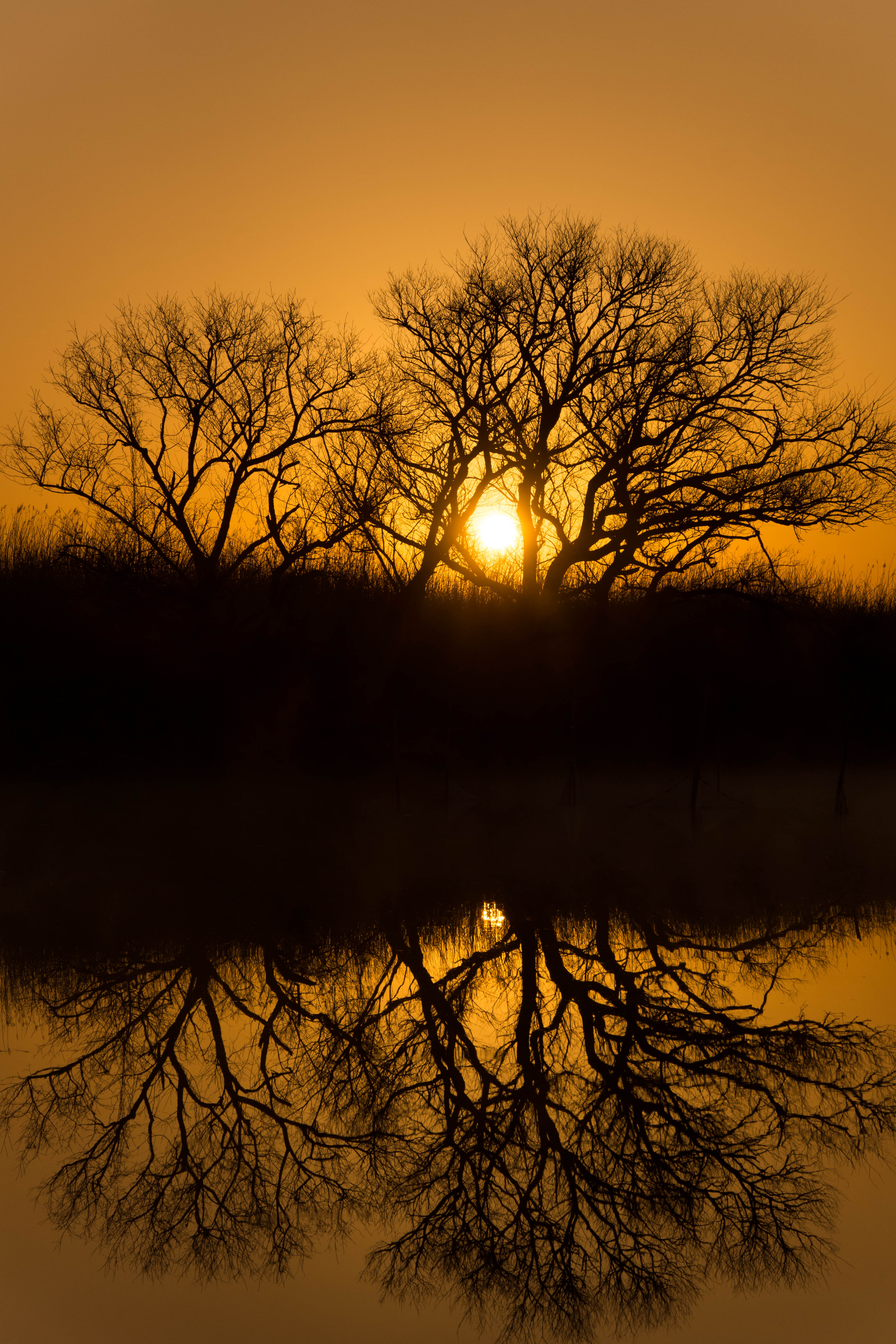
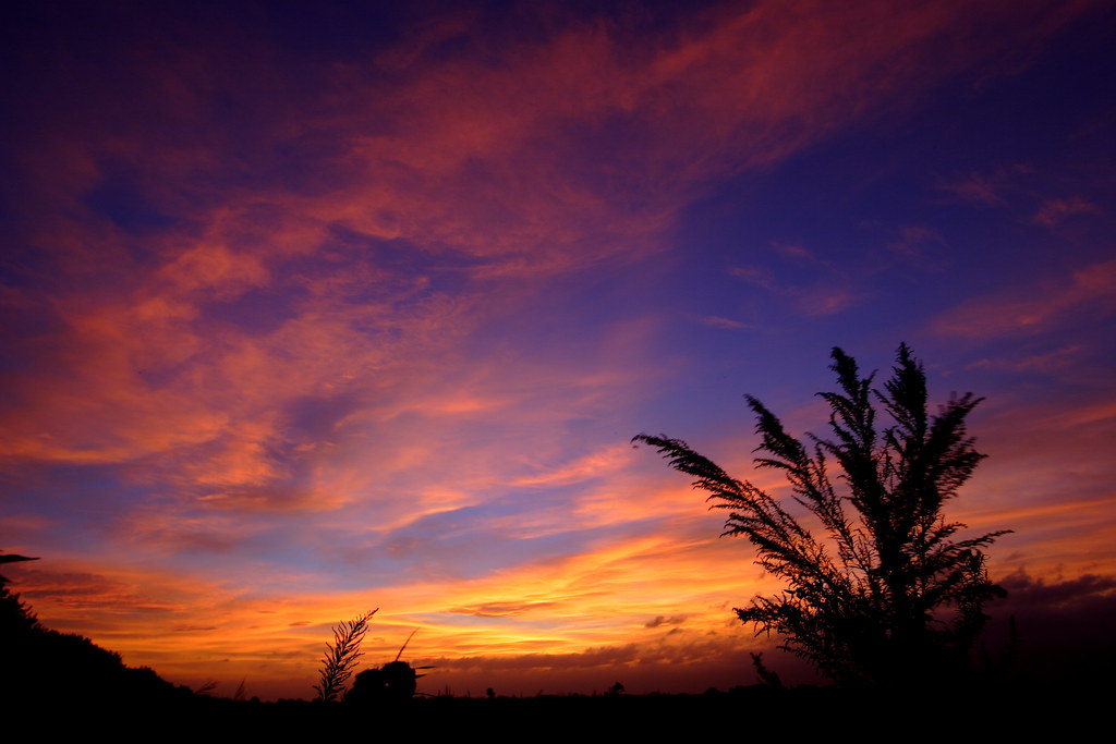
Today's sunset
Reed burning in the Watarase anti-flood pond
Reed burning in the Watarase anti-flood pond

Reed burning in the Watarase anti-flood pond
DSC06800.jpg
Reed burning in the Watarase anti-flood pond

新しい朝

Reed burning in the Watarase anti-flood pond
DSC06053.jpg
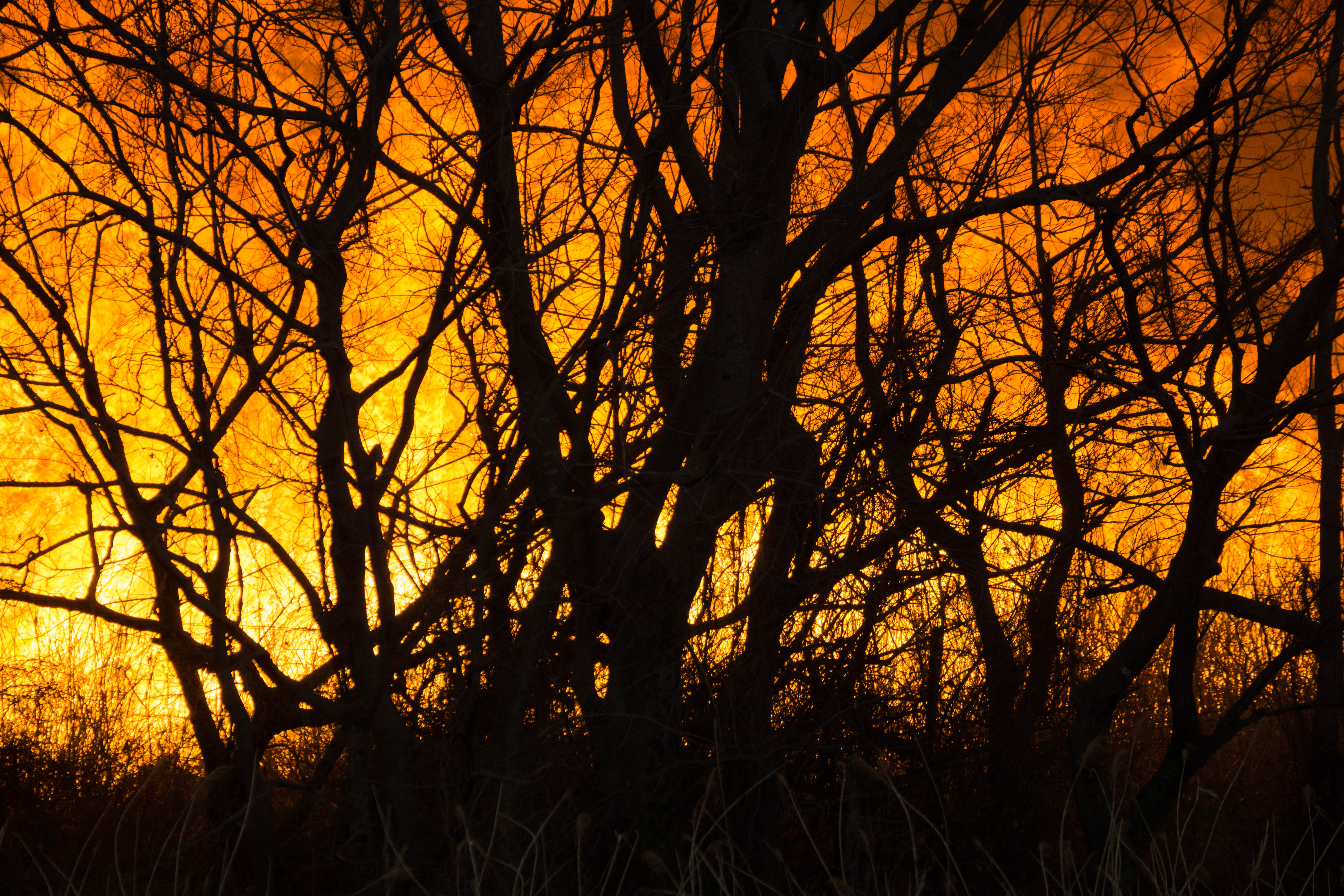
Reed burning in the Watarase anti-flood pond
DSC06501.jpg

日没

DSC06726.jpg

Reed burning in the Watarase anti-flood pond

フィルタなしでも映える朝焼け。
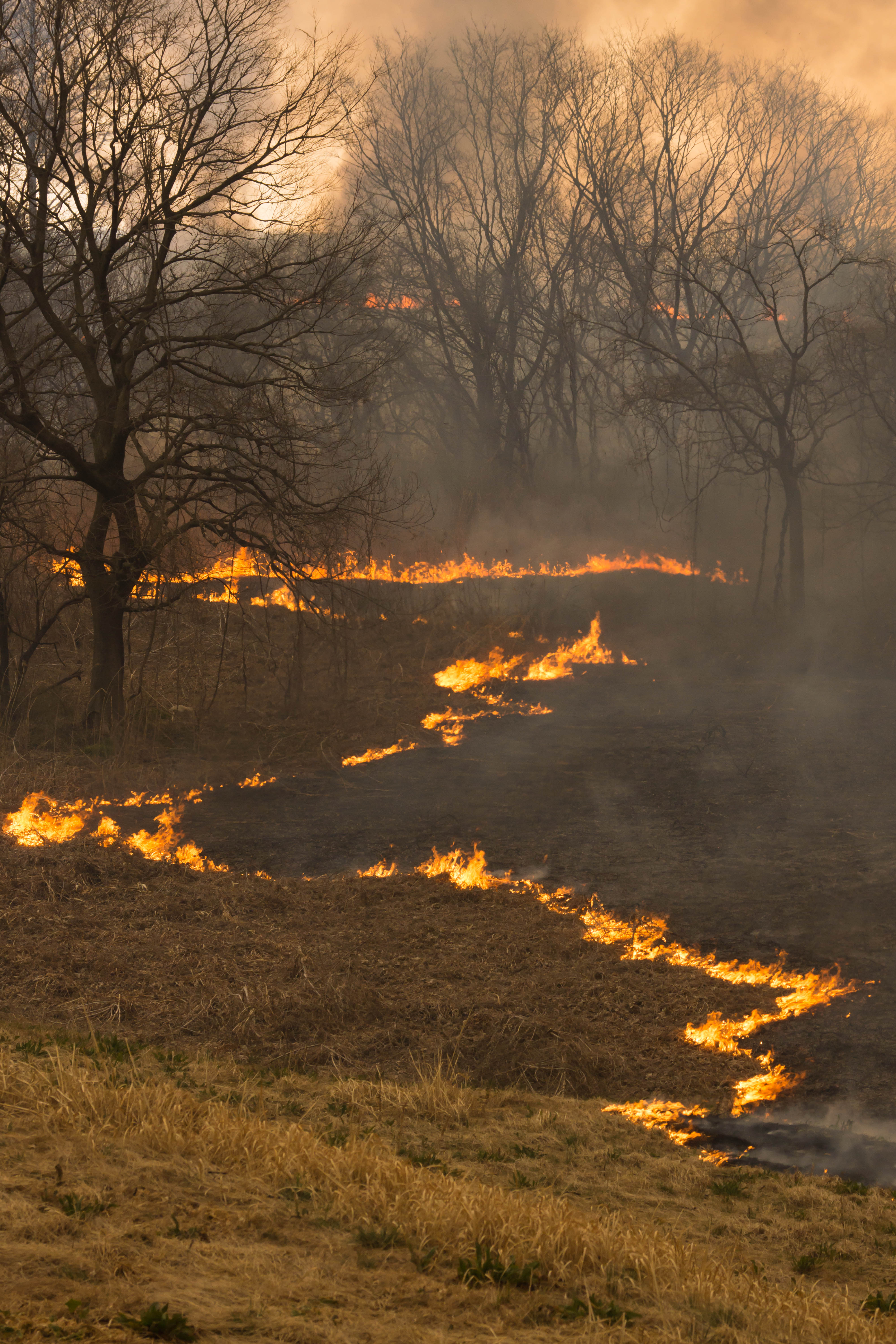
Reed burning in the Watarase anti-flood pond
watarase sunset

Reed burning in the Watarase anti-flood pond

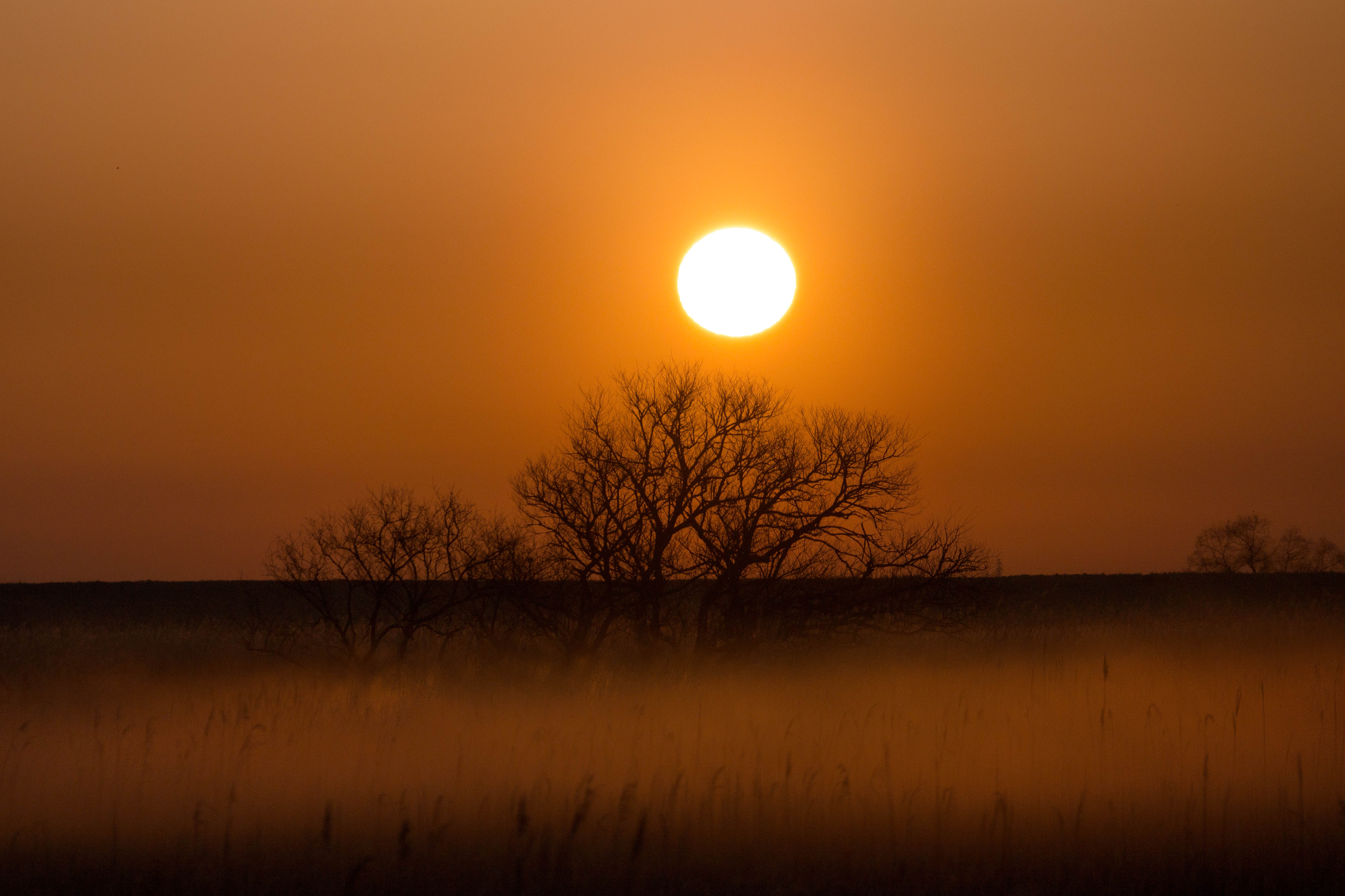
sunrise through reeds
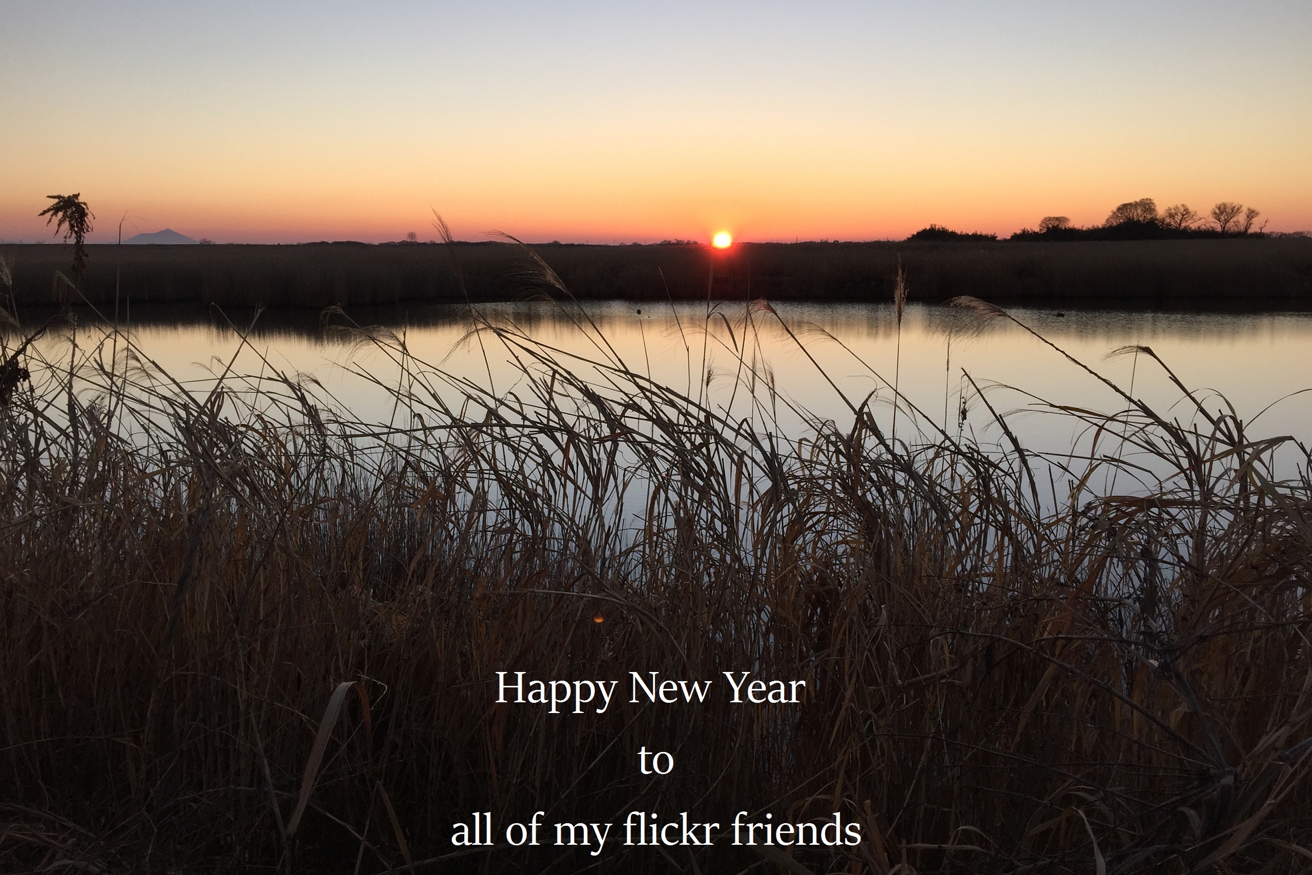
The first sunrise of the year 2016

Sakitama Burial Mounds

Fog at sunrise
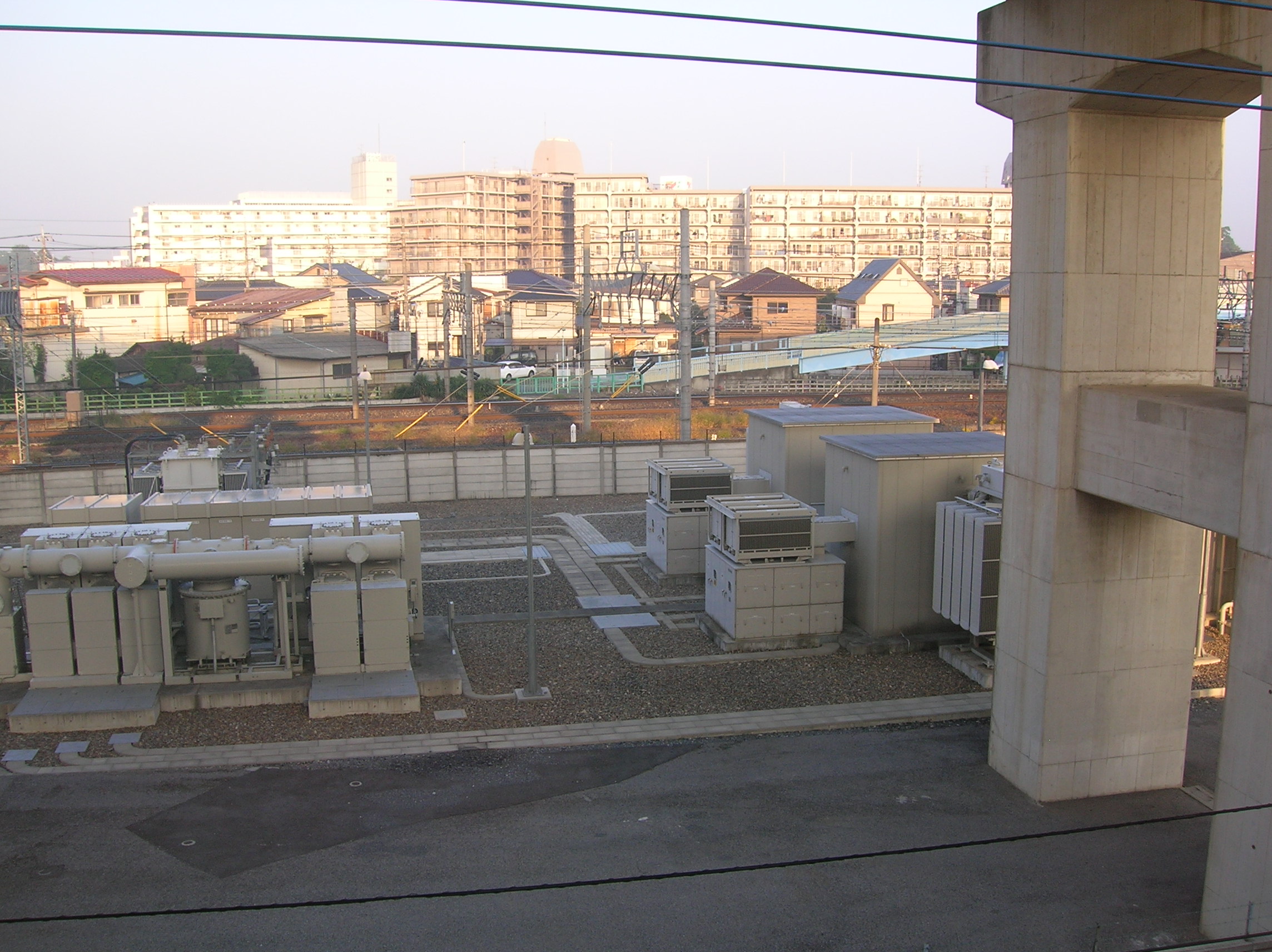
Sunrise on the cement apartment blocks
Mapa de 69 Hinote Shinden, Hanyū-shi, Saitama-ken -, Japón
Buscar otro lugar
Lugares cercanos
Mitakaya, Hanyu, Saitama -, Japón
Kitaogishima, Hanyū-shi, Saitama-ken -, Japón
-4 Tsunegi, Hanyū-shi, Saitama-ken -, Japón
Shimotekobayashi, Hanyū-shi, Saitama-ken -, Japón
Imaizumi, Hanyū-shi, Saitama-ken -, Japón
Shimomurakimi, Hanyū-shi, Saitama-ken -, Japón
Kamimurakimi, Hanyū-shi, Saitama-ken -, Japón
Kazo, Prefectura de Saitama, Japón
Tamonji, Kazo-shi, Saitama-ken -, Japón
-1 Minamishinozaki, Kazo-shi, Saitama-ken -, Japón
1 Chome-1-2 Ōkuwa, Kazo-shi, Saitama-ken -, Japón
-11 Yagyū, Kazo-shi, Saitama-ken -, Japón
-, Japón
Yagyu, Kazo, Saitama Prefecture -, Japón
Negoya, Kazo-shi, Saitama-ken -, Japón
-7 Negoya, Kazo-shi, Saitama-ken -, Japón
Yagyū Station, -4 Onofukuro, Kazo, Saitama -, Japón
Hatai, Kazo, Saitama -, Japón
Shōbuchō Shōbu, Kuki-shi, Saitama-ken -, Japón
-7 Hatai, Kazo-shi, Saitama-ken -, Japón
Búsquedas recientes
- Horas de salida y puesta de sol de Lampiasi St, Sarasota, FL, USA
- Horas de salida y puesta de sol de Japón, 〒- Toyama, Kubomotomachi, 12−31 APAガーデンコート稲荷
- Horas de salida y puesta de sol de Jialuohu, Datong Township, Yilan County, Taiwán
- Horas de salida y puesta de sol de 大下港, Sekizenoge, Imabari, Prefectura de Ehime -, Japón
- Horas de salida y puesta de sol de Oge port Ferry Terminal, -1 Sekizenōge, Imabari, Ehime -, Japón
- Horas de salida y puesta de sol de San Telmo, Cdad. Autónoma de Buenos Aires, Argentina
- Horas de salida y puesta de sol de Congressional Dr, Stevensville, MD, USA
- Horas de salida y puesta de sol de Papingo 04, Grecia
- Horas de salida y puesta de sol de Pagonija rock, Kranto 7-oji g. 8"N, Kaunas, Lituania
- Horas de salida y puesta de sol de Co Rd 87, Jamestown, CO, EE. UU.