Horas de salida y puesta de sol de 12, Asbury, MD, EE. UU.
Location: Estados Unidos > Maryland > Condado de Somerset >
Zona horaria:
America/New_York
Hora local:
2024-04-30 03:11:07
Longitud:
-75.8650148
Latitud:
37.9319731
Salida de sol de hoy:
06:07:21 AM
Puesta de sol de hoy:
07:53:47 PM
La duración del día hoy:
13h 46m 26s
Salida de sol de mañana:
06:06:12 AM
Puesta de sol de mañana:
07:54:43 PM
La duración del día mañana:
13h 48m 31s
Mostrar todas las fechas
| Fecha | Salida de sol | Puesta de sol | Duración del día |
|---|---|---|---|
| 01/01/2024 | 07:19:17 AM | 04:55:09 PM | 9h 35m 52s |
| 02/01/2024 | 07:19:24 AM | 04:55:58 PM | 9h 36m 34s |
| 03/01/2024 | 07:19:29 AM | 04:56:48 PM | 9h 37m 19s |
| 04/01/2024 | 07:19:32 AM | 04:57:39 PM | 9h 38m 7s |
| 05/01/2024 | 07:19:32 AM | 04:58:32 PM | 9h 39m 0s |
| 06/01/2024 | 07:19:31 AM | 04:59:26 PM | 9h 39m 55s |
| 07/01/2024 | 07:19:28 AM | 05:00:21 PM | 9h 40m 53s |
| 08/01/2024 | 07:19:22 AM | 05:01:17 PM | 9h 41m 55s |
| 09/01/2024 | 07:19:14 AM | 05:02:14 PM | 9h 43m 0s |
| 10/01/2024 | 07:19:05 AM | 05:03:12 PM | 9h 44m 7s |
| 11/01/2024 | 07:18:53 AM | 05:04:11 PM | 9h 45m 18s |
| 12/01/2024 | 07:18:39 AM | 05:05:11 PM | 9h 46m 32s |
| 13/01/2024 | 07:18:23 AM | 05:06:12 PM | 9h 47m 49s |
| 14/01/2024 | 07:18:05 AM | 05:07:13 PM | 9h 49m 8s |
| 15/01/2024 | 07:17:45 AM | 05:08:16 PM | 9h 50m 31s |
| 16/01/2024 | 07:17:23 AM | 05:09:18 PM | 9h 51m 55s |
| 17/01/2024 | 07:16:59 AM | 05:10:22 PM | 9h 53m 23s |
| 18/01/2024 | 07:16:33 AM | 05:11:26 PM | 9h 54m 53s |
| 19/01/2024 | 07:16:05 AM | 05:12:30 PM | 9h 56m 25s |
| 20/01/2024 | 07:15:35 AM | 05:13:35 PM | 9h 58m 0s |
| 21/01/2024 | 07:15:03 AM | 05:14:41 PM | 9h 59m 38s |
| 22/01/2024 | 07:14:29 AM | 05:15:46 PM | 10h 1m 17s |
| 23/01/2024 | 07:13:53 AM | 05:16:52 PM | 10h 2m 59s |
| 24/01/2024 | 07:13:16 AM | 05:17:59 PM | 10h 4m 43s |
| 25/01/2024 | 07:12:37 AM | 05:19:05 PM | 10h 6m 28s |
| 26/01/2024 | 07:11:55 AM | 05:20:12 PM | 10h 8m 17s |
| 27/01/2024 | 07:11:12 AM | 05:21:19 PM | 10h 10m 7s |
| 28/01/2024 | 07:10:28 AM | 05:22:27 PM | 10h 11m 59s |
| 29/01/2024 | 07:09:41 AM | 05:23:34 PM | 10h 13m 53s |
| 30/01/2024 | 07:08:53 AM | 05:24:41 PM | 10h 15m 48s |
| 31/01/2024 | 07:08:03 AM | 05:25:49 PM | 10h 17m 46s |
| 01/02/2024 | 07:07:12 AM | 05:26:56 PM | 10h 19m 44s |
| 02/02/2024 | 07:06:18 AM | 05:28:03 PM | 10h 21m 45s |
| 03/02/2024 | 07:05:24 AM | 05:29:11 PM | 10h 23m 47s |
| 04/02/2024 | 07:04:28 AM | 05:30:18 PM | 10h 25m 50s |
| 05/02/2024 | 07:03:30 AM | 05:31:25 PM | 10h 27m 55s |
| 06/02/2024 | 07:02:31 AM | 05:32:32 PM | 10h 30m 1s |
| 07/02/2024 | 07:01:30 AM | 05:33:39 PM | 10h 32m 9s |
| 08/02/2024 | 07:00:28 AM | 05:34:45 PM | 10h 34m 17s |
| 09/02/2024 | 06:59:24 AM | 05:35:52 PM | 10h 36m 28s |
| 10/02/2024 | 06:58:20 AM | 05:36:58 PM | 10h 38m 38s |
| 11/02/2024 | 06:57:14 AM | 05:38:04 PM | 10h 40m 50s |
| 12/02/2024 | 06:56:06 AM | 05:39:10 PM | 10h 43m 4s |
| 13/02/2024 | 06:54:58 AM | 05:40:16 PM | 10h 45m 18s |
| 14/02/2024 | 06:53:48 AM | 05:41:21 PM | 10h 47m 33s |
| 15/02/2024 | 06:52:37 AM | 05:42:26 PM | 10h 49m 49s |
| 16/02/2024 | 06:51:24 AM | 05:43:31 PM | 10h 52m 7s |
| 17/02/2024 | 06:50:11 AM | 05:44:35 PM | 10h 54m 24s |
| 18/02/2024 | 06:48:57 AM | 05:45:40 PM | 10h 56m 43s |
| 19/02/2024 | 06:47:41 AM | 05:46:43 PM | 10h 59m 2s |
| 20/02/2024 | 06:46:25 AM | 05:47:47 PM | 11h 1m 22s |
| 21/02/2024 | 06:45:08 AM | 05:48:50 PM | 11h 3m 42s |
| 22/02/2024 | 06:43:49 AM | 05:49:53 PM | 11h 6m 4s |
| 23/02/2024 | 06:42:30 AM | 05:50:56 PM | 11h 8m 26s |
| 24/02/2024 | 06:41:10 AM | 05:51:58 PM | 11h 10m 48s |
| 25/02/2024 | 06:39:49 AM | 05:53:00 PM | 11h 13m 11s |
| 26/02/2024 | 06:38:27 AM | 05:54:02 PM | 11h 15m 35s |
| 27/02/2024 | 06:37:04 AM | 05:55:03 PM | 11h 17m 59s |
| 28/02/2024 | 06:35:41 AM | 05:56:04 PM | 11h 20m 23s |
| 29/02/2024 | 06:34:17 AM | 05:57:05 PM | 11h 22m 48s |
| 01/03/2024 | 06:32:52 AM | 05:58:05 PM | 11h 25m 13s |
| 02/03/2024 | 06:31:27 AM | 05:59:05 PM | 11h 27m 38s |
| 03/03/2024 | 06:30:01 AM | 06:00:05 PM | 11h 30m 4s |
| 04/03/2024 | 06:28:34 AM | 06:01:05 PM | 11h 32m 31s |
| 05/03/2024 | 06:27:07 AM | 06:02:04 PM | 11h 34m 57s |
| 06/03/2024 | 06:25:39 AM | 06:03:03 PM | 11h 37m 24s |
| 07/03/2024 | 06:24:11 AM | 06:04:02 PM | 11h 39m 51s |
| 08/03/2024 | 06:22:43 AM | 06:05:00 PM | 11h 42m 17s |
| 09/03/2024 | 06:21:14 AM | 06:05:58 PM | 11h 44m 44s |
| 10/03/2024 | 07:19:48 AM | 07:06:54 PM | 11h 47m 6s |
| 11/03/2024 | 07:18:18 AM | 07:07:51 PM | 11h 49m 33s |
| 12/03/2024 | 07:16:48 AM | 07:08:49 PM | 11h 52m 1s |
| 13/03/2024 | 07:15:18 AM | 07:09:46 PM | 11h 54m 28s |
| 14/03/2024 | 07:13:47 AM | 07:10:43 PM | 11h 56m 56s |
| 15/03/2024 | 07:12:16 AM | 07:11:40 PM | 11h 59m 24s |
| 16/03/2024 | 07:10:45 AM | 07:12:37 PM | 12h 1m 52s |
| 17/03/2024 | 07:09:13 AM | 07:13:33 PM | 12h 4m 20s |
| 18/03/2024 | 07:07:42 AM | 07:14:30 PM | 12h 6m 48s |
| 19/03/2024 | 07:06:10 AM | 07:15:26 PM | 12h 9m 16s |
| 20/03/2024 | 07:04:38 AM | 07:16:22 PM | 12h 11m 44s |
| 21/03/2024 | 07:03:07 AM | 07:17:18 PM | 12h 14m 11s |
| 22/03/2024 | 07:01:35 AM | 07:18:14 PM | 12h 16m 39s |
| 23/03/2024 | 07:00:03 AM | 07:19:09 PM | 12h 19m 6s |
| 24/03/2024 | 06:58:31 AM | 07:20:05 PM | 12h 21m 34s |
| 25/03/2024 | 06:57:00 AM | 07:21:01 PM | 12h 24m 1s |
| 26/03/2024 | 06:55:28 AM | 07:21:56 PM | 12h 26m 28s |
| 27/03/2024 | 06:53:56 AM | 07:22:51 PM | 12h 28m 55s |
| 28/03/2024 | 06:52:25 AM | 07:23:47 PM | 12h 31m 22s |
| 29/03/2024 | 06:50:54 AM | 07:24:42 PM | 12h 33m 48s |
| 30/03/2024 | 06:49:23 AM | 07:25:37 PM | 12h 36m 14s |
| 31/03/2024 | 06:47:52 AM | 07:26:32 PM | 12h 38m 40s |
| 01/04/2024 | 06:46:21 AM | 07:27:28 PM | 12h 41m 7s |
| 02/04/2024 | 06:44:51 AM | 07:28:23 PM | 12h 43m 32s |
| 03/04/2024 | 06:43:21 AM | 07:29:18 PM | 12h 45m 57s |
| 04/04/2024 | 06:41:52 AM | 07:30:13 PM | 12h 48m 21s |
| 05/04/2024 | 06:40:23 AM | 07:31:08 PM | 12h 50m 45s |
| 06/04/2024 | 06:38:54 AM | 07:32:03 PM | 12h 53m 9s |
| 07/04/2024 | 06:37:26 AM | 07:32:58 PM | 12h 55m 32s |
| 08/04/2024 | 06:35:58 AM | 07:33:54 PM | 12h 57m 56s |
| 09/04/2024 | 06:34:30 AM | 07:34:49 PM | 13h 0m 19s |
| 10/04/2024 | 06:33:04 AM | 07:35:44 PM | 13h 2m 40s |
| 11/04/2024 | 06:31:37 AM | 07:36:39 PM | 13h 5m 2s |
| 12/04/2024 | 06:30:12 AM | 07:37:35 PM | 13h 7m 23s |
| 13/04/2024 | 06:28:47 AM | 07:38:30 PM | 13h 9m 43s |
| 14/04/2024 | 06:27:22 AM | 07:39:26 PM | 13h 12m 4s |
| 15/04/2024 | 06:25:59 AM | 07:40:21 PM | 13h 14m 22s |
| 16/04/2024 | 06:24:36 AM | 07:41:16 PM | 13h 16m 40s |
| 17/04/2024 | 06:23:14 AM | 07:42:12 PM | 13h 18m 58s |
| 18/04/2024 | 06:21:52 AM | 07:43:08 PM | 13h 21m 16s |
| 19/04/2024 | 06:20:32 AM | 07:44:03 PM | 13h 23m 31s |
| 20/04/2024 | 06:19:12 AM | 07:44:59 PM | 13h 25m 47s |
| 21/04/2024 | 06:17:53 AM | 07:45:54 PM | 13h 28m 1s |
| 22/04/2024 | 06:16:35 AM | 07:46:50 PM | 13h 30m 15s |
| 23/04/2024 | 06:15:18 AM | 07:47:46 PM | 13h 32m 28s |
| 24/04/2024 | 06:14:02 AM | 07:48:41 PM | 13h 34m 39s |
| 25/04/2024 | 06:12:46 AM | 07:49:37 PM | 13h 36m 51s |
| 26/04/2024 | 06:11:32 AM | 07:50:33 PM | 13h 39m 1s |
| 27/04/2024 | 06:10:19 AM | 07:51:28 PM | 13h 41m 9s |
| 28/04/2024 | 06:09:07 AM | 07:52:24 PM | 13h 43m 17s |
| 29/04/2024 | 06:07:56 AM | 07:53:20 PM | 13h 45m 24s |
| 30/04/2024 | 06:06:47 AM | 07:54:15 PM | 13h 47m 28s |
| 01/05/2024 | 06:05:38 AM | 07:55:10 PM | 13h 49m 32s |
| 02/05/2024 | 06:04:30 AM | 07:56:06 PM | 13h 51m 36s |
| 03/05/2024 | 06:03:24 AM | 07:57:01 PM | 13h 53m 37s |
| 04/05/2024 | 06:02:19 AM | 07:57:56 PM | 13h 55m 37s |
| 05/05/2024 | 06:01:16 AM | 07:58:51 PM | 13h 57m 35s |
| 06/05/2024 | 06:00:13 AM | 07:59:45 PM | 13h 59m 32s |
| 07/05/2024 | 05:59:12 AM | 08:00:40 PM | 14h 1m 28s |
| 08/05/2024 | 05:58:13 AM | 08:01:34 PM | 14h 3m 21s |
| 09/05/2024 | 05:57:14 AM | 08:02:28 PM | 14h 5m 14s |
| 10/05/2024 | 05:56:17 AM | 08:03:22 PM | 14h 7m 5s |
| 11/05/2024 | 05:55:22 AM | 08:04:16 PM | 14h 8m 54s |
| 12/05/2024 | 05:54:28 AM | 08:05:09 PM | 14h 10m 41s |
| 13/05/2024 | 05:53:36 AM | 08:06:02 PM | 14h 12m 26s |
| 14/05/2024 | 05:52:45 AM | 08:06:54 PM | 14h 14m 9s |
| 15/05/2024 | 05:51:55 AM | 08:07:46 PM | 14h 15m 51s |
| 16/05/2024 | 05:51:07 AM | 08:08:38 PM | 14h 17m 31s |
| 17/05/2024 | 05:50:21 AM | 08:09:29 PM | 14h 19m 8s |
| 18/05/2024 | 05:49:36 AM | 08:10:19 PM | 14h 20m 43s |
| 19/05/2024 | 05:48:53 AM | 08:11:09 PM | 14h 22m 16s |
| 20/05/2024 | 05:48:12 AM | 08:11:59 PM | 14h 23m 47s |
| 21/05/2024 | 05:47:32 AM | 08:12:47 PM | 14h 25m 15s |
| 22/05/2024 | 05:46:54 AM | 08:13:36 PM | 14h 26m 42s |
| 23/05/2024 | 05:46:18 AM | 08:14:23 PM | 14h 28m 5s |
| 24/05/2024 | 05:45:43 AM | 08:15:10 PM | 14h 29m 27s |
| 25/05/2024 | 05:45:11 AM | 08:15:56 PM | 14h 30m 45s |
| 26/05/2024 | 05:44:40 AM | 08:16:41 PM | 14h 32m 1s |
| 27/05/2024 | 05:44:10 AM | 08:17:26 PM | 14h 33m 16s |
| 28/05/2024 | 05:43:43 AM | 08:18:09 PM | 14h 34m 26s |
| 29/05/2024 | 05:43:17 AM | 08:18:52 PM | 14h 35m 35s |
| 30/05/2024 | 05:42:53 AM | 08:19:33 PM | 14h 36m 40s |
| 31/05/2024 | 05:42:31 AM | 08:20:14 PM | 14h 37m 43s |
| 01/06/2024 | 05:42:10 AM | 08:20:53 PM | 14h 38m 43s |
| 02/06/2024 | 05:41:52 AM | 08:21:32 PM | 14h 39m 40s |
| 03/06/2024 | 05:41:35 AM | 08:22:09 PM | 14h 40m 34s |
| 04/06/2024 | 05:41:20 AM | 08:22:46 PM | 14h 41m 26s |
| 05/06/2024 | 05:41:07 AM | 08:23:21 PM | 14h 42m 14s |
| 06/06/2024 | 05:40:56 AM | 08:23:54 PM | 14h 42m 58s |
| 07/06/2024 | 05:40:46 AM | 08:24:27 PM | 14h 43m 41s |
| 08/06/2024 | 05:40:38 AM | 08:24:58 PM | 14h 44m 20s |
| 09/06/2024 | 05:40:32 AM | 08:25:28 PM | 14h 44m 56s |
| 10/06/2024 | 05:40:28 AM | 08:25:57 PM | 14h 45m 29s |
| 11/06/2024 | 05:40:26 AM | 08:26:24 PM | 14h 45m 58s |
| 12/06/2024 | 05:40:25 AM | 08:26:49 PM | 14h 46m 24s |
| 13/06/2024 | 05:40:27 AM | 08:27:14 PM | 14h 46m 47s |
| 14/06/2024 | 05:40:30 AM | 08:27:36 PM | 14h 47m 6s |
| 15/06/2024 | 05:40:34 AM | 08:27:58 PM | 14h 47m 24s |
| 16/06/2024 | 05:40:41 AM | 08:28:17 PM | 14h 47m 36s |
| 17/06/2024 | 05:40:49 AM | 08:28:35 PM | 14h 47m 46s |
| 18/06/2024 | 05:40:59 AM | 08:28:51 PM | 14h 47m 52s |
| 19/06/2024 | 05:41:10 AM | 08:29:06 PM | 14h 47m 56s |
| 20/06/2024 | 05:41:23 AM | 08:29:19 PM | 14h 47m 56s |
| 21/06/2024 | 05:41:38 AM | 08:29:31 PM | 14h 47m 53s |
| 22/06/2024 | 05:41:54 AM | 08:29:40 PM | 14h 47m 46s |
| 23/06/2024 | 05:42:12 AM | 08:29:48 PM | 14h 47m 36s |
| 24/06/2024 | 05:42:32 AM | 08:29:54 PM | 14h 47m 22s |
| 25/06/2024 | 05:42:52 AM | 08:29:58 PM | 14h 47m 6s |
| 26/06/2024 | 05:43:15 AM | 08:30:01 PM | 14h 46m 46s |
| 27/06/2024 | 05:43:39 AM | 08:30:02 PM | 14h 46m 23s |
| 28/06/2024 | 05:44:04 AM | 08:30:01 PM | 14h 45m 57s |
| 29/06/2024 | 05:44:30 AM | 08:29:58 PM | 14h 45m 28s |
| 30/06/2024 | 05:44:58 AM | 08:29:53 PM | 14h 44m 55s |
| 01/07/2024 | 05:45:27 AM | 08:29:46 PM | 14h 44m 19s |
| 02/07/2024 | 05:45:58 AM | 08:29:38 PM | 14h 43m 40s |
| 03/07/2024 | 05:46:29 AM | 08:29:28 PM | 14h 42m 59s |
| 04/07/2024 | 05:47:02 AM | 08:29:16 PM | 14h 42m 14s |
| 05/07/2024 | 05:47:36 AM | 08:29:02 PM | 14h 41m 26s |
| 06/07/2024 | 05:48:11 AM | 08:28:46 PM | 14h 40m 35s |
| 07/07/2024 | 05:48:48 AM | 08:28:28 PM | 14h 39m 40s |
| 08/07/2024 | 05:49:25 AM | 08:28:08 PM | 14h 38m 43s |
| 09/07/2024 | 05:50:03 AM | 08:27:47 PM | 14h 37m 44s |
| 10/07/2024 | 05:50:42 AM | 08:27:24 PM | 14h 36m 42s |
| 11/07/2024 | 05:51:22 AM | 08:26:59 PM | 14h 35m 37s |
| 12/07/2024 | 05:52:03 AM | 08:26:32 PM | 14h 34m 29s |
| 13/07/2024 | 05:52:45 AM | 08:26:03 PM | 14h 33m 18s |
| 14/07/2024 | 05:53:28 AM | 08:25:32 PM | 14h 32m 4s |
| 15/07/2024 | 05:54:11 AM | 08:25:00 PM | 14h 30m 49s |
| 16/07/2024 | 05:54:55 AM | 08:24:26 PM | 14h 29m 31s |
| 17/07/2024 | 05:55:40 AM | 08:23:50 PM | 14h 28m 10s |
| 18/07/2024 | 05:56:26 AM | 08:23:12 PM | 14h 26m 46s |
| 19/07/2024 | 05:57:12 AM | 08:22:33 PM | 14h 25m 21s |
| 20/07/2024 | 05:57:58 AM | 08:21:52 PM | 14h 23m 54s |
| 21/07/2024 | 05:58:46 AM | 08:21:09 PM | 14h 22m 23s |
| 22/07/2024 | 05:59:33 AM | 08:20:25 PM | 14h 20m 52s |
| 23/07/2024 | 06:00:22 AM | 08:19:39 PM | 14h 19m 17s |
| 24/07/2024 | 06:01:10 AM | 08:18:51 PM | 14h 17m 41s |
| 25/07/2024 | 06:01:59 AM | 08:18:02 PM | 14h 16m 3s |
| 26/07/2024 | 06:02:49 AM | 08:17:11 PM | 14h 14m 22s |
| 27/07/2024 | 06:03:38 AM | 08:16:19 PM | 14h 12m 41s |
| 28/07/2024 | 06:04:29 AM | 08:15:25 PM | 14h 10m 56s |
| 29/07/2024 | 06:05:19 AM | 08:14:29 PM | 14h 9m 10s |
| 30/07/2024 | 06:06:10 AM | 08:13:32 PM | 14h 7m 22s |
| 31/07/2024 | 06:07:00 AM | 08:12:34 PM | 14h 5m 34s |
| 01/08/2024 | 06:07:52 AM | 08:11:34 PM | 14h 3m 42s |
| 02/08/2024 | 06:08:43 AM | 08:10:33 PM | 14h 1m 50s |
| 03/08/2024 | 06:09:34 AM | 08:09:30 PM | 13h 59m 56s |
| 04/08/2024 | 06:10:26 AM | 08:08:26 PM | 13h 58m 0s |
| 05/08/2024 | 06:11:18 AM | 08:07:21 PM | 13h 56m 3s |
| 06/08/2024 | 06:12:09 AM | 08:06:15 PM | 13h 54m 6s |
| 07/08/2024 | 06:13:01 AM | 08:05:07 PM | 13h 52m 6s |
| 08/08/2024 | 06:13:53 AM | 08:03:58 PM | 13h 50m 5s |
| 09/08/2024 | 06:14:45 AM | 08:02:48 PM | 13h 48m 3s |
| 10/08/2024 | 06:15:37 AM | 08:01:36 PM | 13h 45m 59s |
| 11/08/2024 | 06:16:29 AM | 08:00:24 PM | 13h 43m 55s |
| 12/08/2024 | 06:17:22 AM | 07:59:10 PM | 13h 41m 48s |
| 13/08/2024 | 06:18:14 AM | 07:57:55 PM | 13h 39m 41s |
| 14/08/2024 | 06:19:06 AM | 07:56:39 PM | 13h 37m 33s |
| 15/08/2024 | 06:19:58 AM | 07:55:23 PM | 13h 35m 25s |
| 16/08/2024 | 06:20:50 AM | 07:54:05 PM | 13h 33m 15s |
| 17/08/2024 | 06:21:42 AM | 07:52:46 PM | 13h 31m 4s |
| 18/08/2024 | 06:22:34 AM | 07:51:26 PM | 13h 28m 52s |
| 19/08/2024 | 06:23:25 AM | 07:50:06 PM | 13h 26m 41s |
| 20/08/2024 | 06:24:17 AM | 07:48:44 PM | 13h 24m 27s |
| 21/08/2024 | 06:25:09 AM | 07:47:22 PM | 13h 22m 13s |
| 22/08/2024 | 06:26:01 AM | 07:45:59 PM | 13h 19m 58s |
| 23/08/2024 | 06:26:52 AM | 07:44:35 PM | 13h 17m 43s |
| 24/08/2024 | 06:27:44 AM | 07:43:10 PM | 13h 15m 26s |
| 25/08/2024 | 06:28:35 AM | 07:41:44 PM | 13h 13m 9s |
| 26/08/2024 | 06:29:27 AM | 07:40:18 PM | 13h 10m 51s |
| 27/08/2024 | 06:30:18 AM | 07:38:52 PM | 13h 8m 34s |
| 28/08/2024 | 06:31:09 AM | 07:37:24 PM | 13h 6m 15s |
| 29/08/2024 | 06:32:00 AM | 07:35:56 PM | 13h 3m 56s |
| 30/08/2024 | 06:32:51 AM | 07:34:27 PM | 13h 1m 36s |
| 31/08/2024 | 06:33:42 AM | 07:32:58 PM | 12h 59m 16s |
| 01/09/2024 | 06:34:33 AM | 07:31:29 PM | 12h 56m 56s |
| 02/09/2024 | 06:35:24 AM | 07:29:58 PM | 12h 54m 34s |
| 03/09/2024 | 06:36:15 AM | 07:28:28 PM | 12h 52m 13s |
| 04/09/2024 | 06:37:06 AM | 07:26:57 PM | 12h 49m 51s |
| 05/09/2024 | 06:37:57 AM | 07:25:25 PM | 12h 47m 28s |
| 06/09/2024 | 06:38:48 AM | 07:23:53 PM | 12h 45m 5s |
| 07/09/2024 | 06:39:39 AM | 07:22:21 PM | 12h 42m 42s |
| 08/09/2024 | 06:40:29 AM | 07:20:49 PM | 12h 40m 20s |
| 09/09/2024 | 06:41:20 AM | 07:19:16 PM | 12h 37m 56s |
| 10/09/2024 | 06:42:11 AM | 07:17:43 PM | 12h 35m 32s |
| 11/09/2024 | 06:43:02 AM | 07:16:10 PM | 12h 33m 8s |
| 12/09/2024 | 06:43:53 AM | 07:14:36 PM | 12h 30m 43s |
| 13/09/2024 | 06:44:43 AM | 07:13:02 PM | 12h 28m 19s |
| 14/09/2024 | 06:45:34 AM | 07:11:29 PM | 12h 25m 55s |
| 15/09/2024 | 06:46:25 AM | 07:09:55 PM | 12h 23m 30s |
| 16/09/2024 | 06:47:16 AM | 07:08:21 PM | 12h 21m 5s |
| 17/09/2024 | 06:48:08 AM | 07:06:47 PM | 12h 18m 39s |
| 18/09/2024 | 06:48:59 AM | 07:05:13 PM | 12h 16m 14s |
| 19/09/2024 | 06:49:50 AM | 07:03:39 PM | 12h 13m 49s |
| 20/09/2024 | 06:50:42 AM | 07:02:05 PM | 12h 11m 23s |
| 21/09/2024 | 06:51:33 AM | 07:00:31 PM | 12h 8m 58s |
| 22/09/2024 | 06:52:25 AM | 06:58:57 PM | 12h 6m 32s |
| 23/09/2024 | 06:53:17 AM | 06:57:23 PM | 12h 4m 6s |
| 24/09/2024 | 06:54:09 AM | 06:55:50 PM | 12h 1m 41s |
| 25/09/2024 | 06:55:01 AM | 06:54:16 PM | 11h 59m 15s |
| 26/09/2024 | 06:55:54 AM | 06:52:43 PM | 11h 56m 49s |
| 27/09/2024 | 06:56:46 AM | 06:51:10 PM | 11h 54m 24s |
| 28/09/2024 | 06:57:39 AM | 06:49:37 PM | 11h 51m 58s |
| 29/09/2024 | 06:58:32 AM | 06:48:05 PM | 11h 49m 33s |
| 30/09/2024 | 06:59:25 AM | 06:46:33 PM | 11h 47m 8s |
| 01/10/2024 | 07:00:19 AM | 06:45:01 PM | 11h 44m 42s |
| 02/10/2024 | 07:01:13 AM | 06:43:30 PM | 11h 42m 17s |
| 03/10/2024 | 07:02:07 AM | 06:41:59 PM | 11h 39m 52s |
| 04/10/2024 | 07:03:01 AM | 06:40:29 PM | 11h 37m 28s |
| 05/10/2024 | 07:03:55 AM | 06:38:59 PM | 11h 35m 4s |
| 06/10/2024 | 07:04:50 AM | 06:37:30 PM | 11h 32m 40s |
| 07/10/2024 | 07:05:45 AM | 06:36:01 PM | 11h 30m 16s |
| 08/10/2024 | 07:06:41 AM | 06:34:33 PM | 11h 27m 52s |
| 09/10/2024 | 07:07:37 AM | 06:33:05 PM | 11h 25m 28s |
| 10/10/2024 | 07:08:33 AM | 06:31:38 PM | 11h 23m 5s |
| 11/10/2024 | 07:09:29 AM | 06:30:12 PM | 11h 20m 43s |
| 12/10/2024 | 07:10:26 AM | 06:28:46 PM | 11h 18m 20s |
| 13/10/2024 | 07:11:23 AM | 06:27:21 PM | 11h 15m 58s |
| 14/10/2024 | 07:12:20 AM | 06:25:57 PM | 11h 13m 37s |
| 15/10/2024 | 07:13:18 AM | 06:24:34 PM | 11h 11m 16s |
| 16/10/2024 | 07:14:16 AM | 06:23:11 PM | 11h 8m 55s |
| 17/10/2024 | 07:15:14 AM | 06:21:49 PM | 11h 6m 35s |
| 18/10/2024 | 07:16:13 AM | 06:20:29 PM | 11h 4m 16s |
| 19/10/2024 | 07:17:12 AM | 06:19:09 PM | 11h 1m 57s |
| 20/10/2024 | 07:18:12 AM | 06:17:50 PM | 10h 59m 38s |
| 21/10/2024 | 07:19:12 AM | 06:16:32 PM | 10h 57m 20s |
| 22/10/2024 | 07:20:12 AM | 06:15:15 PM | 10h 55m 3s |
| 23/10/2024 | 07:21:12 AM | 06:14:00 PM | 10h 52m 48s |
| 24/10/2024 | 07:22:13 AM | 06:12:45 PM | 10h 50m 32s |
| 25/10/2024 | 07:23:14 AM | 06:11:32 PM | 10h 48m 18s |
| 26/10/2024 | 07:24:15 AM | 06:10:19 PM | 10h 46m 4s |
| 27/10/2024 | 07:25:17 AM | 06:09:08 PM | 10h 43m 51s |
| 28/10/2024 | 07:26:19 AM | 06:07:58 PM | 10h 41m 39s |
| 29/10/2024 | 07:27:21 AM | 06:06:49 PM | 10h 39m 28s |
| 30/10/2024 | 07:28:24 AM | 06:05:42 PM | 10h 37m 18s |
| 31/10/2024 | 07:29:27 AM | 06:04:36 PM | 10h 35m 9s |
| 01/11/2024 | 07:30:30 AM | 06:03:31 PM | 10h 33m 1s |
| 02/11/2024 | 07:31:33 AM | 06:02:28 PM | 10h 30m 55s |
| 03/11/2024 | 06:32:39 AM | 05:01:24 PM | 10h 28m 45s |
| 04/11/2024 | 06:33:43 AM | 05:00:23 PM | 10h 26m 40s |
| 05/11/2024 | 06:34:47 AM | 04:59:25 PM | 10h 24m 38s |
| 06/11/2024 | 06:35:51 AM | 04:58:27 PM | 10h 22m 36s |
| 07/11/2024 | 06:36:55 AM | 04:57:32 PM | 10h 20m 37s |
| 08/11/2024 | 06:37:59 AM | 04:56:38 PM | 10h 18m 39s |
| 09/11/2024 | 06:39:04 AM | 04:55:45 PM | 10h 16m 41s |
| 10/11/2024 | 06:40:08 AM | 04:54:54 PM | 10h 14m 46s |
| 11/11/2024 | 06:41:12 AM | 04:54:05 PM | 10h 12m 53s |
| 12/11/2024 | 06:42:17 AM | 04:53:18 PM | 10h 11m 1s |
| 13/11/2024 | 06:43:21 AM | 04:52:32 PM | 10h 9m 11s |
| 14/11/2024 | 06:44:25 AM | 04:51:48 PM | 10h 7m 23s |
| 15/11/2024 | 06:45:29 AM | 04:51:06 PM | 10h 5m 37s |
| 16/11/2024 | 06:46:33 AM | 04:50:26 PM | 10h 3m 53s |
| 17/11/2024 | 06:47:37 AM | 04:49:48 PM | 10h 2m 11s |
| 18/11/2024 | 06:48:40 AM | 04:49:11 PM | 10h 0m 31s |
| 19/11/2024 | 06:49:43 AM | 04:48:36 PM | 9h 58m 53s |
| 20/11/2024 | 06:50:46 AM | 04:48:04 PM | 9h 57m 18s |
| 21/11/2024 | 06:51:49 AM | 04:47:33 PM | 9h 55m 44s |
| 22/11/2024 | 06:52:51 AM | 04:47:04 PM | 9h 54m 13s |
| 23/11/2024 | 06:53:52 AM | 04:46:38 PM | 9h 52m 46s |
| 24/11/2024 | 06:54:53 AM | 04:46:13 PM | 9h 51m 20s |
| 25/11/2024 | 06:55:54 AM | 04:45:50 PM | 9h 49m 56s |
| 26/11/2024 | 06:56:54 AM | 04:45:30 PM | 9h 48m 36s |
| 27/11/2024 | 06:57:53 AM | 04:45:11 PM | 9h 47m 18s |
| 28/11/2024 | 06:58:52 AM | 04:44:55 PM | 9h 46m 3s |
| 29/11/2024 | 06:59:50 AM | 04:44:41 PM | 9h 44m 51s |
| 30/11/2024 | 07:00:47 AM | 04:44:28 PM | 9h 43m 41s |
| 01/12/2024 | 07:01:43 AM | 04:44:18 PM | 9h 42m 35s |
| 02/12/2024 | 07:02:38 AM | 04:44:10 PM | 9h 41m 32s |
| 03/12/2024 | 07:03:33 AM | 04:44:04 PM | 9h 40m 31s |
| 04/12/2024 | 07:04:26 AM | 04:44:01 PM | 9h 39m 35s |
| 05/12/2024 | 07:05:18 AM | 04:43:59 PM | 9h 38m 41s |
| 06/12/2024 | 07:06:10 AM | 04:44:00 PM | 9h 37m 50s |
| 07/12/2024 | 07:07:00 AM | 04:44:02 PM | 9h 37m 2s |
| 08/12/2024 | 07:07:48 AM | 04:44:07 PM | 9h 36m 19s |
| 09/12/2024 | 07:08:36 AM | 04:44:14 PM | 9h 35m 38s |
| 10/12/2024 | 07:09:22 AM | 04:44:23 PM | 9h 35m 1s |
| 11/12/2024 | 07:10:07 AM | 04:44:34 PM | 9h 34m 27s |
| 12/12/2024 | 07:10:51 AM | 04:44:47 PM | 9h 33m 56s |
| 13/12/2024 | 07:11:33 AM | 04:45:02 PM | 9h 33m 29s |
| 14/12/2024 | 07:12:13 AM | 04:45:19 PM | 9h 33m 6s |
| 15/12/2024 | 07:12:52 AM | 04:45:39 PM | 9h 32m 47s |
| 16/12/2024 | 07:13:30 AM | 04:46:00 PM | 9h 32m 30s |
| 17/12/2024 | 07:14:05 AM | 04:46:23 PM | 9h 32m 18s |
| 18/12/2024 | 07:14:39 AM | 04:46:48 PM | 9h 32m 9s |
| 19/12/2024 | 07:15:12 AM | 04:47:15 PM | 9h 32m 3s |
| 20/12/2024 | 07:15:42 AM | 04:47:44 PM | 9h 32m 2s |
| 21/12/2024 | 07:16:11 AM | 04:48:15 PM | 9h 32m 4s |
| 22/12/2024 | 07:16:38 AM | 04:48:48 PM | 9h 32m 10s |
| 23/12/2024 | 07:17:04 AM | 04:49:22 PM | 9h 32m 18s |
| 24/12/2024 | 07:17:27 AM | 04:49:58 PM | 9h 32m 31s |
| 25/12/2024 | 07:17:48 AM | 04:50:36 PM | 9h 32m 48s |
| 26/12/2024 | 07:18:08 AM | 04:51:16 PM | 9h 33m 8s |
| 27/12/2024 | 07:18:25 AM | 04:51:57 PM | 9h 33m 32s |
| 28/12/2024 | 07:18:41 AM | 04:52:40 PM | 9h 33m 59s |
| 29/12/2024 | 07:18:54 AM | 04:53:24 PM | 9h 34m 30s |
| 30/12/2024 | 07:19:06 AM | 04:54:10 PM | 9h 35m 4s |
Fotos

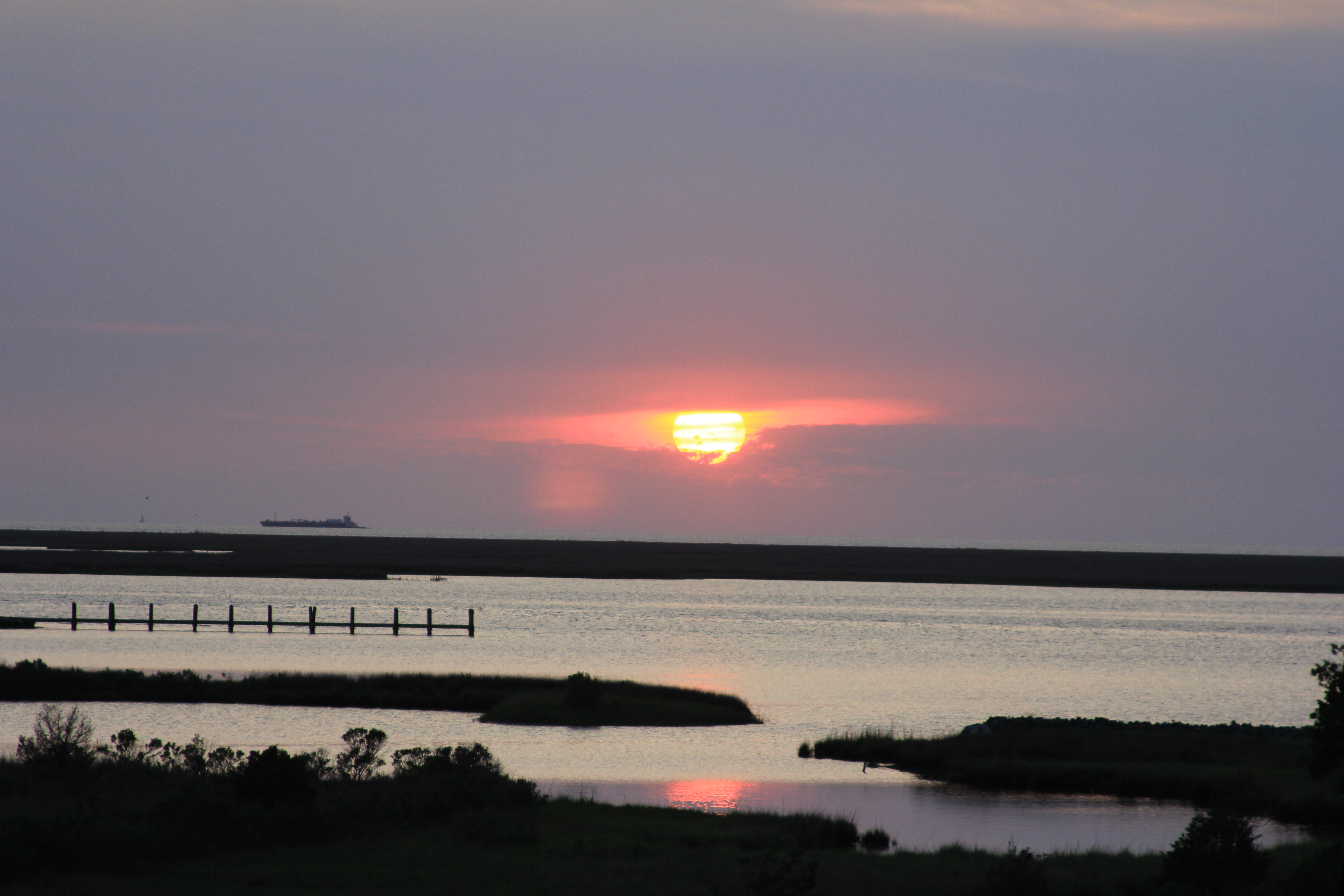
Sunrise over Port Isobel

Port Isobel at sunset

Sunset, Tangier Island 4

Sunset, Tangier Island 2

2014-04-26 19.18.48

Old bridge through marsh, Tangier Island

Sunset, Tangier Island 3
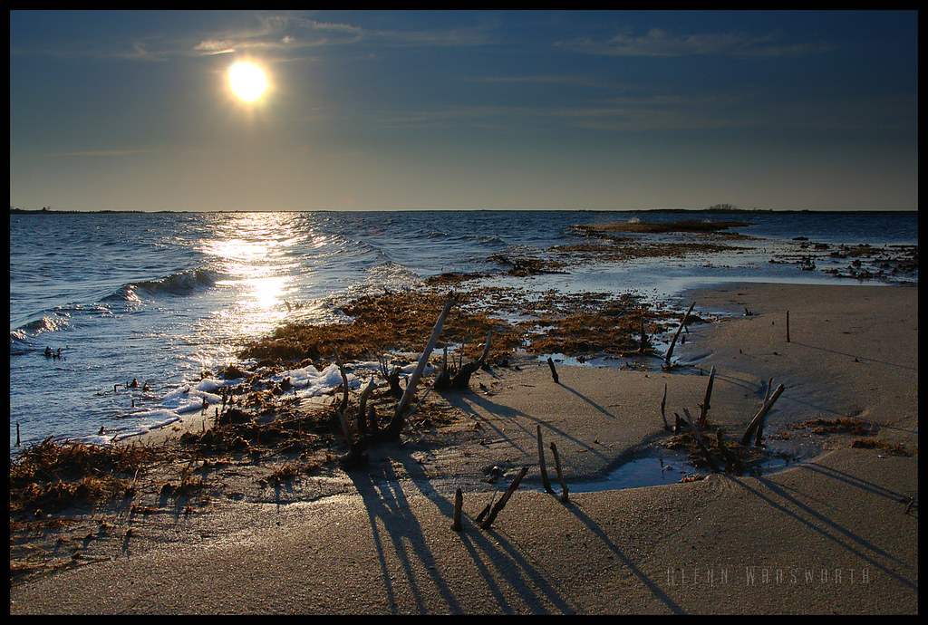
Long Point Shadows

Small Boat Harbor Sunset in Crisfield, MD
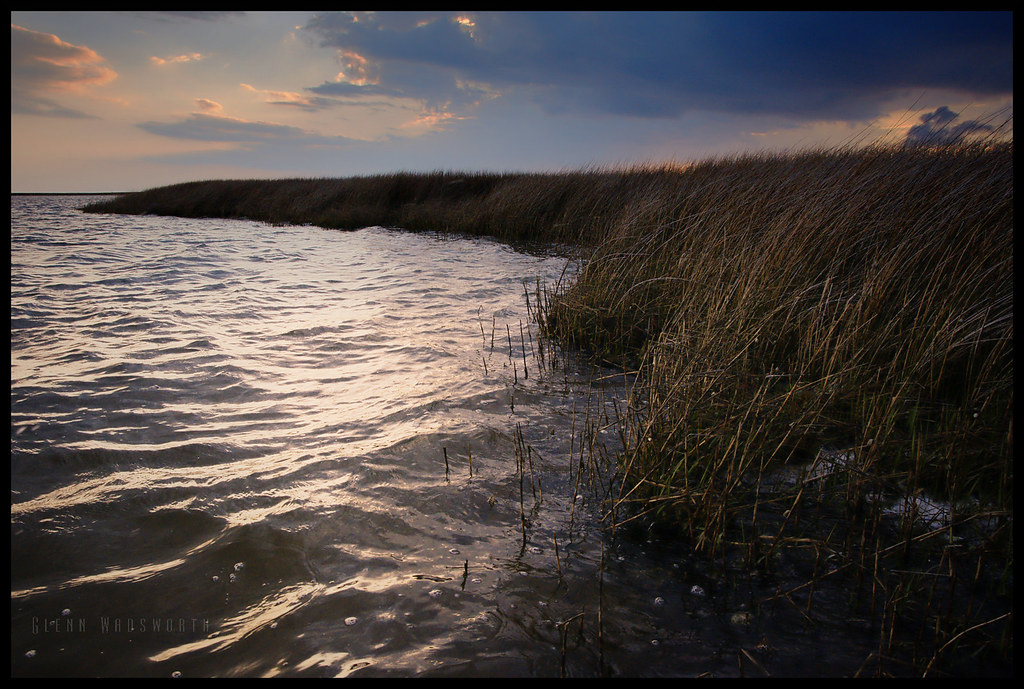
Ward Creek

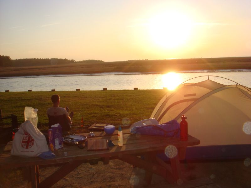
Sunset, Port Isobel
Crisfeild Sun Salutation
Crisfeild Sun Salutation
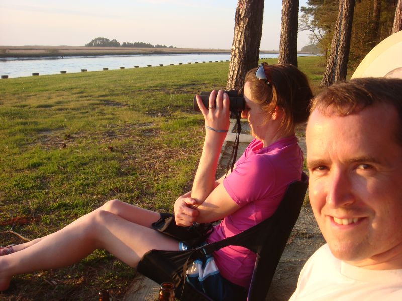
Watching birds at sunset
Sunset at Jane's Island

Marsh at dusk, Tangier Island
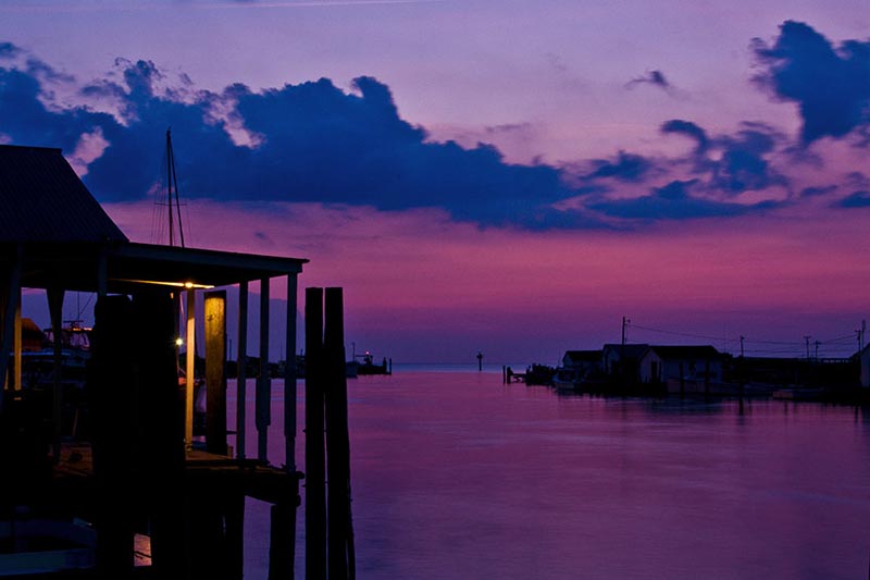
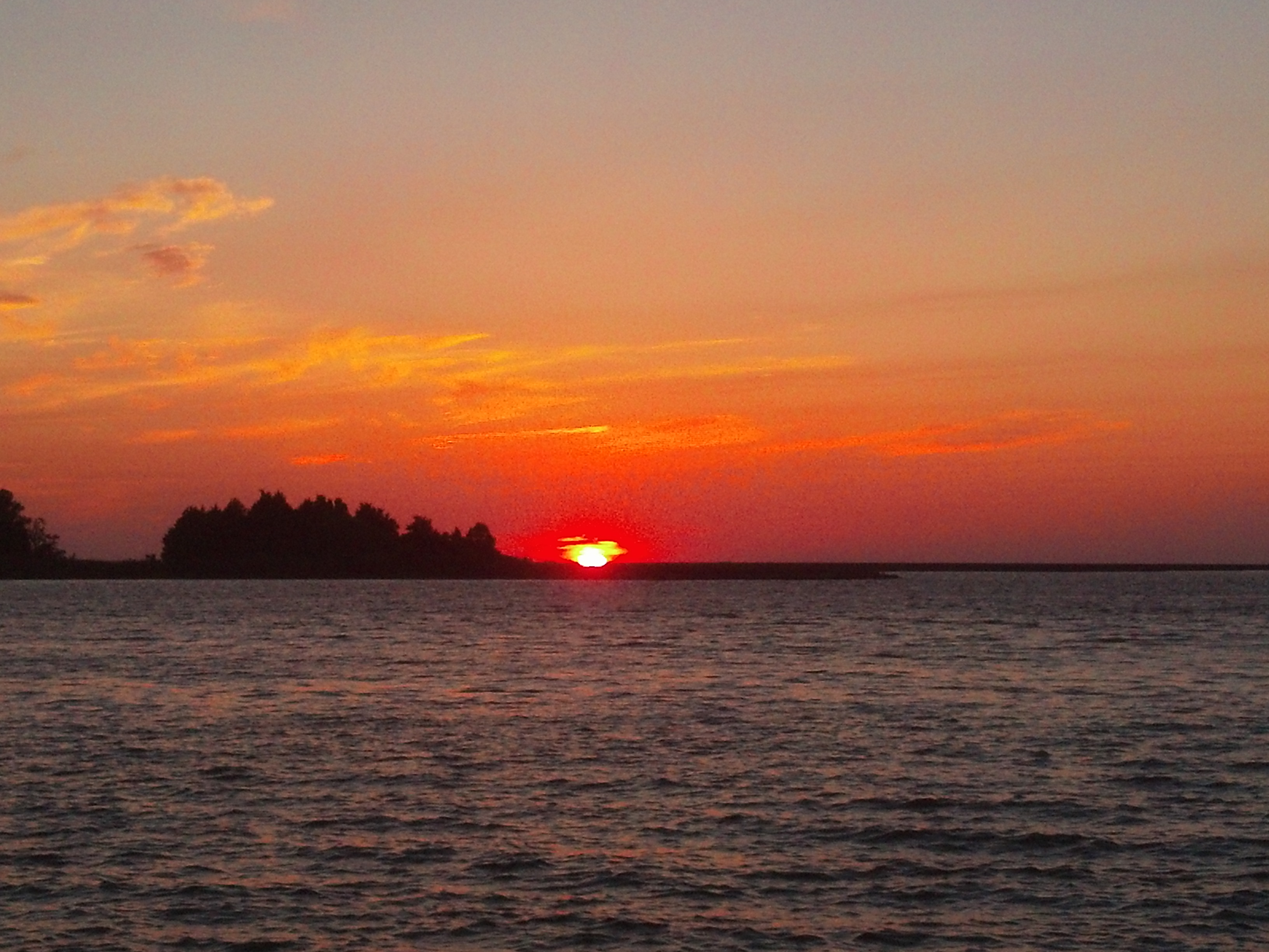
Tangier Sundown

Harbor Sunrise Tangier Island

Marsh grass at sunset, Tangier Island

Blurred sunset, Taniger Island

Port Isobel, Va.

Port Isobel, Va.
Mapa de 12, Asbury, MD, EE. UU.
Buscar otro lugar
Lugares cercanos
Tylers Cove Is, Crisfield, MD, EE. UU.
Byrdtown Rd, Crisfield, MD, EE. UU.
Ape Hole Rd, Crisfield, MD, EE. UU.
Saxis Rd, Saxis, VA, EE. UU.
Saxis, Virginia, EE. UU.
6, VA, EE. UU.
Crystal Beach Rd, Onancock, VA, EE. UU.
Crystal Beach Rd, Onancock, VA, EE. UU.
4, VA, EE. UU.
Allen Ln, Onancock, VA, EE. UU.
Southside Rd, Onancock, VA, EE. UU.
Condado de Accomack, Virginia, EE. UU.
Anns Cove Rd, Bloxom, VA, EE. UU.
Big Rd, Bloxom, VA, EE. UU.
8 Mt Prospect Ave, Onancock, VA, EE. UU.
Tarkill Rd, Onancock, VA, EE. UU.
Onancock, Virginia, EE. UU.
9 Liberty St, Onancock, VA, EE. UU.
15 Church St, Onancock, VA, EE. UU.
Liberty Street, Liberty St, Onancock, VA, EE. UU.
Búsquedas recientes
- Horas de salida y puesta de sol de Ulitsa Kalinina, 79, Rezh, Sverdlovskaya oblast', Russia
- Horas de salida y puesta de sol de Leguwa, Nepal
- Horas de salida y puesta de sol de Shustino, Vladimir Oblast, Russia
- Horas de salida y puesta de sol de Lampiasi St, Sarasota, FL, EE. UU.
- Horas de salida y puesta de sol de Japón, 〒- Toyama, Kubomotomachi, 12−31 APAガーデンコート稲荷
- Horas de salida y puesta de sol de Jialuohu, Datong Township, Yilan County, Taiwán
- Horas de salida y puesta de sol de 大下港, Sekizenoge, Imabari, Prefectura de Ehime -, Japón
- Horas de salida y puesta de sol de Oge port Ferry Terminal, -1 Sekizenōge, Imabari, Ehime -, Japón
- Horas de salida y puesta de sol de San Telmo, Cdad. Autónoma de Buenos Aires, Argentina
- Horas de salida y puesta de sol de Congressional Dr, Stevensville, MD, EE. UU.