Uniontown Hwy, Van Buren, AR, USA Sonnenaufgang Sonnenuntergang Zeiten
Location: USA > Arkansas > Crawford County >
Zeitzone:
America/Chicago
Ortszeit:
2024-05-16 18:28:49
Länge:
-94.3867294
Breite:
35.538741
Sonnenaufgang Heute:
06:10:28 AM
Sonnenuntergang Heute:
08:17:30 PM
Tageslänge heute:
14h 7m 2s
Sonnenaufgang morgen:
06:09:47 AM
Sonnenuntergang Morgen:
08:18:16 PM
Tageslänge von morgen:
14h 8m 29s
Alle Termine anzeigen
| Datum | Sonnenaufgang | Sonnenuntergang | Tageslänge |
|---|---|---|---|
| 2024-01-01 | 07:26:56 AM | 05:15:46 PM | 9h 48m 50s |
| 2024-01-02 | 07:27:05 AM | 05:16:33 PM | 9h 49m 28s |
| 2024-01-03 | 07:27:11 AM | 05:17:21 PM | 9h 50m 10s |
| 2024-01-04 | 07:27:16 AM | 05:18:10 PM | 9h 50m 54s |
| 2024-01-05 | 07:27:19 AM | 05:19:01 PM | 9h 51m 42s |
| 2024-01-06 | 07:27:20 AM | 05:19:52 PM | 9h 52m 32s |
| 2024-01-07 | 07:27:19 AM | 05:20:45 PM | 9h 53m 26s |
| 2024-01-08 | 07:27:16 AM | 05:21:38 PM | 9h 54m 22s |
| 2024-01-09 | 07:27:11 AM | 05:22:32 PM | 9h 55m 21s |
| 2024-01-10 | 07:27:04 AM | 05:23:27 PM | 9h 56m 23s |
| 2024-01-11 | 07:26:56 AM | 05:24:23 PM | 9h 57m 27s |
| 2024-01-12 | 07:26:45 AM | 05:25:20 PM | 9h 58m 35s |
| 2024-01-13 | 07:26:32 AM | 05:26:17 PM | 9h 59m 45s |
| 2024-01-14 | 07:26:18 AM | 05:27:15 PM | 10h 0m 57s |
| 2024-01-15 | 07:26:01 AM | 05:28:13 PM | 10h 2m 12s |
| 2024-01-16 | 07:25:43 AM | 05:29:13 PM | 10h 3m 30s |
| 2024-01-17 | 07:25:23 AM | 05:30:12 PM | 10h 4m 49s |
| 2024-01-18 | 07:25:00 AM | 05:31:12 PM | 10h 6m 12s |
| 2024-01-19 | 07:24:36 AM | 05:32:12 PM | 10h 7m 36s |
| 2024-01-20 | 07:24:11 AM | 05:33:13 PM | 10h 9m 2s |
| 2024-01-21 | 07:23:43 AM | 05:34:14 PM | 10h 10m 31s |
| 2024-01-22 | 07:23:13 AM | 05:35:16 PM | 10h 12m 3s |
| 2024-01-23 | 07:22:42 AM | 05:36:17 PM | 10h 13m 35s |
| 2024-01-24 | 07:22:09 AM | 05:37:19 PM | 10h 15m 10s |
| 2024-01-25 | 07:21:34 AM | 05:38:21 PM | 10h 16m 47s |
| 2024-01-26 | 07:20:57 AM | 05:39:23 PM | 10h 18m 26s |
| 2024-01-27 | 07:20:19 AM | 05:40:25 PM | 10h 20m 6s |
| 2024-01-28 | 07:19:39 AM | 05:41:27 PM | 10h 21m 48s |
| 2024-01-29 | 07:18:58 AM | 05:42:30 PM | 10h 23m 32s |
| 2024-01-30 | 07:18:14 AM | 05:43:32 PM | 10h 25m 18s |
| 2024-01-31 | 07:17:30 AM | 05:44:34 PM | 10h 27m 4s |
| 2024-02-01 | 07:16:43 AM | 05:45:36 PM | 10h 28m 53s |
| 2024-02-02 | 07:15:55 AM | 05:46:38 PM | 10h 30m 43s |
| 2024-02-03 | 07:15:06 AM | 05:47:40 PM | 10h 32m 34s |
| 2024-02-04 | 07:14:15 AM | 05:48:42 PM | 10h 34m 27s |
| 2024-02-05 | 07:13:22 AM | 05:49:44 PM | 10h 36m 22s |
| 2024-02-06 | 07:12:28 AM | 05:50:45 PM | 10h 38m 17s |
| 2024-02-07 | 07:11:33 AM | 05:51:47 PM | 10h 40m 14s |
| 2024-02-08 | 07:10:37 AM | 05:52:48 PM | 10h 42m 11s |
| 2024-02-09 | 07:09:39 AM | 05:53:48 PM | 10h 44m 9s |
| 2024-02-10 | 07:08:39 AM | 05:54:49 PM | 10h 46m 10s |
| 2024-02-11 | 07:07:39 AM | 05:55:49 PM | 10h 48m 10s |
| 2024-02-12 | 07:06:37 AM | 05:56:49 PM | 10h 50m 12s |
| 2024-02-13 | 07:05:34 AM | 05:57:49 PM | 10h 52m 15s |
| 2024-02-14 | 07:04:30 AM | 05:58:49 PM | 10h 54m 19s |
| 2024-02-15 | 07:03:25 AM | 05:59:48 PM | 10h 56m 23s |
| 2024-02-16 | 07:02:18 AM | 06:00:47 PM | 10h 58m 29s |
| 2024-02-17 | 07:01:11 AM | 06:01:45 PM | 11h 0m 34s |
| 2024-02-18 | 07:00:02 AM | 06:02:44 PM | 11h 2m 42s |
| 2024-02-19 | 06:58:53 AM | 06:03:42 PM | 11h 4m 49s |
| 2024-02-20 | 06:57:42 AM | 06:04:39 PM | 11h 6m 57s |
| 2024-02-21 | 06:56:30 AM | 06:05:36 PM | 11h 9m 6s |
| 2024-02-22 | 06:55:18 AM | 06:06:33 PM | 11h 11m 15s |
| 2024-02-23 | 06:54:05 AM | 06:07:30 PM | 11h 13m 25s |
| 2024-02-24 | 06:52:50 AM | 06:08:26 PM | 11h 15m 36s |
| 2024-02-25 | 06:51:35 AM | 06:09:22 PM | 11h 17m 47s |
| 2024-02-26 | 06:50:20 AM | 06:10:18 PM | 11h 19m 58s |
| 2024-02-27 | 06:49:03 AM | 06:11:13 PM | 11h 22m 10s |
| 2024-02-28 | 06:47:46 AM | 06:12:08 PM | 11h 24m 22s |
| 2024-02-29 | 06:46:28 AM | 06:13:02 PM | 11h 26m 34s |
| 2024-03-01 | 06:45:09 AM | 06:13:57 PM | 11h 28m 48s |
| 2024-03-02 | 06:43:50 AM | 06:14:51 PM | 11h 31m 1s |
| 2024-03-03 | 06:42:30 AM | 06:15:44 PM | 11h 33m 14s |
| 2024-03-04 | 06:41:09 AM | 06:16:38 PM | 11h 35m 29s |
| 2024-03-05 | 06:39:48 AM | 06:17:31 PM | 11h 37m 43s |
| 2024-03-06 | 06:38:27 AM | 06:18:23 PM | 11h 39m 56s |
| 2024-03-07 | 06:37:05 AM | 06:19:16 PM | 11h 42m 11s |
| 2024-03-08 | 06:35:42 AM | 06:20:08 PM | 11h 44m 26s |
| 2024-03-09 | 06:34:19 AM | 06:21:00 PM | 11h 46m 41s |
| 2024-03-10 | 07:32:59 AM | 07:21:50 PM | 11h 48m 51s |
| 2024-03-11 | 07:31:36 AM | 07:22:41 PM | 11h 51m 5s |
| 2024-03-12 | 07:30:12 AM | 07:23:33 PM | 11h 53m 21s |
| 2024-03-13 | 07:28:47 AM | 07:24:24 PM | 11h 55m 37s |
| 2024-03-14 | 07:27:23 AM | 07:25:15 PM | 11h 57m 52s |
| 2024-03-15 | 07:25:58 AM | 07:26:05 PM | 12h 0m 7s |
| 2024-03-16 | 07:24:33 AM | 07:26:56 PM | 12h 2m 23s |
| 2024-03-17 | 07:23:08 AM | 07:27:46 PM | 12h 4m 38s |
| 2024-03-18 | 07:21:42 AM | 07:28:36 PM | 12h 6m 54s |
| 2024-03-19 | 07:20:17 AM | 07:29:26 PM | 12h 9m 9s |
| 2024-03-20 | 07:18:51 AM | 07:30:16 PM | 12h 11m 25s |
| 2024-03-21 | 07:17:26 AM | 07:31:06 PM | 12h 13m 40s |
| 2024-03-22 | 07:16:00 AM | 07:31:56 PM | 12h 15m 56s |
| 2024-03-23 | 07:14:34 AM | 07:32:45 PM | 12h 18m 11s |
| 2024-03-24 | 07:13:09 AM | 07:33:35 PM | 12h 20m 26s |
| 2024-03-25 | 07:11:43 AM | 07:34:24 PM | 12h 22m 41s |
| 2024-03-26 | 07:10:18 AM | 07:35:13 PM | 12h 24m 55s |
| 2024-03-27 | 07:08:52 AM | 07:36:02 PM | 12h 27m 10s |
| 2024-03-28 | 07:07:27 AM | 07:36:52 PM | 12h 29m 25s |
| 2024-03-29 | 07:06:02 AM | 07:37:41 PM | 12h 31m 39s |
| 2024-03-30 | 07:04:37 AM | 07:38:30 PM | 12h 33m 53s |
| 2024-03-31 | 07:03:13 AM | 07:39:19 PM | 12h 36m 6s |
| 2024-04-01 | 07:01:48 AM | 07:40:08 PM | 12h 38m 20s |
| 2024-04-02 | 07:00:24 AM | 07:40:57 PM | 12h 40m 33s |
| 2024-04-03 | 06:59:00 AM | 07:41:46 PM | 12h 42m 46s |
| 2024-04-04 | 06:57:37 AM | 07:42:35 PM | 12h 44m 58s |
| 2024-04-05 | 06:56:14 AM | 07:43:24 PM | 12h 47m 10s |
| 2024-04-06 | 06:54:51 AM | 07:44:13 PM | 12h 49m 22s |
| 2024-04-07 | 06:53:29 AM | 07:45:02 PM | 12h 51m 33s |
| 2024-04-08 | 06:52:07 AM | 07:45:52 PM | 12h 53m 45s |
| 2024-04-09 | 06:50:46 AM | 07:46:41 PM | 12h 55m 55s |
| 2024-04-10 | 06:49:25 AM | 07:47:30 PM | 12h 58m 5s |
| 2024-04-11 | 06:48:05 AM | 07:48:19 PM | 13h 0m 14s |
| 2024-04-12 | 06:46:45 AM | 07:49:09 PM | 13h 2m 24s |
| 2024-04-13 | 06:45:27 AM | 07:49:58 PM | 13h 4m 31s |
| 2024-04-14 | 06:44:08 AM | 07:50:48 PM | 13h 6m 40s |
| 2024-04-15 | 06:42:50 AM | 07:51:37 PM | 13h 8m 47s |
| 2024-04-16 | 06:41:33 AM | 07:52:27 PM | 13h 10m 54s |
| 2024-04-17 | 06:40:17 AM | 07:53:16 PM | 13h 12m 59s |
| 2024-04-18 | 06:39:02 AM | 07:54:06 PM | 13h 15m 4s |
| 2024-04-19 | 06:37:47 AM | 07:54:56 PM | 13h 17m 9s |
| 2024-04-20 | 06:36:33 AM | 07:55:46 PM | 13h 19m 13s |
| 2024-04-21 | 06:35:20 AM | 07:56:36 PM | 13h 21m 16s |
| 2024-04-22 | 06:34:08 AM | 07:57:26 PM | 13h 23m 18s |
| 2024-04-23 | 06:32:57 AM | 07:58:15 PM | 13h 25m 18s |
| 2024-04-24 | 06:31:46 AM | 07:59:05 PM | 13h 27m 19s |
| 2024-04-25 | 06:30:37 AM | 07:59:56 PM | 13h 29m 19s |
| 2024-04-26 | 06:29:28 AM | 08:00:46 PM | 13h 31m 18s |
| 2024-04-27 | 06:28:21 AM | 08:01:36 PM | 13h 33m 15s |
| 2024-04-28 | 06:27:14 AM | 08:02:26 PM | 13h 35m 12s |
| 2024-04-29 | 06:26:09 AM | 08:03:16 PM | 13h 37m 7s |
| 2024-04-30 | 06:25:05 AM | 08:04:06 PM | 13h 39m 1s |
| 2024-05-01 | 06:24:02 AM | 08:04:56 PM | 13h 40m 54s |
| 2024-05-02 | 06:23:00 AM | 08:05:46 PM | 13h 42m 46s |
| 2024-05-03 | 06:21:59 AM | 08:06:36 PM | 13h 44m 37s |
| 2024-05-04 | 06:20:59 AM | 08:07:25 PM | 13h 46m 26s |
| 2024-05-05 | 06:20:01 AM | 08:08:15 PM | 13h 48m 14s |
| 2024-05-06 | 06:19:04 AM | 08:09:05 PM | 13h 50m 1s |
| 2024-05-07 | 06:18:08 AM | 08:09:54 PM | 13h 51m 46s |
| 2024-05-08 | 06:17:14 AM | 08:10:43 PM | 13h 53m 29s |
| 2024-05-09 | 06:16:21 AM | 08:11:32 PM | 13h 55m 11s |
| 2024-05-10 | 06:15:29 AM | 08:12:21 PM | 13h 56m 52s |
| 2024-05-11 | 06:14:38 AM | 08:13:10 PM | 13h 58m 32s |
| 2024-05-12 | 06:13:49 AM | 08:13:58 PM | 14h 0m 9s |
| 2024-05-13 | 06:13:02 AM | 08:14:46 PM | 14h 1m 44s |
| 2024-05-14 | 06:12:15 AM | 08:15:34 PM | 14h 3m 19s |
| 2024-05-15 | 06:11:31 AM | 08:16:21 PM | 14h 4m 50s |
| 2024-05-16 | 06:10:47 AM | 08:17:08 PM | 14h 6m 21s |
| 2024-05-17 | 06:10:06 AM | 08:17:55 PM | 14h 7m 49s |
| 2024-05-18 | 06:09:25 AM | 08:18:41 PM | 14h 9m 16s |
| 2024-05-19 | 06:08:47 AM | 08:19:27 PM | 14h 10m 40s |
| 2024-05-20 | 06:08:10 AM | 08:20:12 PM | 14h 12m 2s |
| 2024-05-21 | 06:07:34 AM | 08:20:57 PM | 14h 13m 23s |
| 2024-05-22 | 06:07:00 AM | 08:21:41 PM | 14h 14m 41s |
| 2024-05-23 | 06:06:28 AM | 08:22:25 PM | 14h 15m 57s |
| 2024-05-24 | 06:05:57 AM | 08:23:08 PM | 14h 17m 11s |
| 2024-05-25 | 06:05:28 AM | 08:23:50 PM | 14h 18m 22s |
| 2024-05-26 | 06:05:00 AM | 08:24:32 PM | 14h 19m 32s |
| 2024-05-27 | 06:04:35 AM | 08:25:13 PM | 14h 20m 38s |
| 2024-05-28 | 06:04:10 AM | 08:25:53 PM | 14h 21m 43s |
| 2024-05-29 | 06:03:48 AM | 08:26:33 PM | 14h 22m 45s |
| 2024-05-30 | 06:03:27 AM | 08:27:11 PM | 14h 23m 44s |
| 2024-05-31 | 06:03:08 AM | 08:27:49 PM | 14h 24m 41s |
| 2024-06-01 | 06:02:50 AM | 08:28:25 PM | 14h 25m 35s |
| 2024-06-02 | 06:02:35 AM | 08:29:01 PM | 14h 26m 26s |
| 2024-06-03 | 06:02:21 AM | 08:29:36 PM | 14h 27m 15s |
| 2024-06-04 | 06:02:08 AM | 08:30:10 PM | 14h 28m 2s |
| 2024-06-05 | 06:01:57 AM | 08:30:43 PM | 14h 28m 46s |
| 2024-06-06 | 06:01:48 AM | 08:31:14 PM | 14h 29m 26s |
| 2024-06-07 | 06:01:41 AM | 08:31:45 PM | 14h 30m 4s |
| 2024-06-08 | 06:01:35 AM | 08:32:14 PM | 14h 30m 39s |
| 2024-06-09 | 06:01:31 AM | 08:32:42 PM | 14h 31m 11s |
| 2024-06-10 | 06:01:29 AM | 08:33:09 PM | 14h 31m 40s |
| 2024-06-11 | 06:01:28 AM | 08:33:35 PM | 14h 32m 7s |
| 2024-06-12 | 06:01:29 AM | 08:33:59 PM | 14h 32m 30s |
| 2024-06-13 | 06:01:31 AM | 08:34:22 PM | 14h 32m 51s |
| 2024-06-14 | 06:01:35 AM | 08:34:44 PM | 14h 33m 9s |
| 2024-06-15 | 06:01:41 AM | 08:35:04 PM | 14h 33m 23s |
| 2024-06-16 | 06:01:48 AM | 08:35:23 PM | 14h 33m 35s |
| 2024-06-17 | 06:01:57 AM | 08:35:40 PM | 14h 33m 43s |
| 2024-06-18 | 06:02:07 AM | 08:35:56 PM | 14h 33m 49s |
| 2024-06-19 | 06:02:19 AM | 08:36:10 PM | 14h 33m 51s |
| 2024-06-20 | 06:02:32 AM | 08:36:23 PM | 14h 33m 51s |
| 2024-06-21 | 06:02:47 AM | 08:36:35 PM | 14h 33m 48s |
| 2024-06-22 | 06:03:03 AM | 08:36:45 PM | 14h 33m 42s |
| 2024-06-23 | 06:03:20 AM | 08:36:53 PM | 14h 33m 33s |
| 2024-06-24 | 06:03:39 AM | 08:36:59 PM | 14h 33m 20s |
| 2024-06-25 | 06:03:59 AM | 08:37:04 PM | 14h 33m 5s |
| 2024-06-26 | 06:04:21 AM | 08:37:08 PM | 14h 32m 47s |
| 2024-06-27 | 06:04:44 AM | 08:37:09 PM | 14h 32m 25s |
| 2024-06-28 | 06:05:08 AM | 08:37:09 PM | 14h 32m 1s |
| 2024-06-29 | 06:05:33 AM | 08:37:07 PM | 14h 31m 34s |
| 2024-06-30 | 06:06:00 AM | 08:37:04 PM | 14h 31m 4s |
| 2024-07-01 | 06:06:27 AM | 08:36:59 PM | 14h 30m 32s |
| 2024-07-02 | 06:06:56 AM | 08:36:52 PM | 14h 29m 56s |
| 2024-07-03 | 06:07:26 AM | 08:36:44 PM | 14h 29m 18s |
| 2024-07-04 | 06:07:57 AM | 08:36:33 PM | 14h 28m 36s |
| 2024-07-05 | 06:08:29 AM | 08:36:22 PM | 14h 27m 53s |
| 2024-07-06 | 06:09:01 AM | 08:36:08 PM | 14h 27m 7s |
| 2024-07-07 | 06:09:35 AM | 08:35:52 PM | 14h 26m 17s |
| 2024-07-08 | 06:10:10 AM | 08:35:35 PM | 14h 25m 25s |
| 2024-07-09 | 06:10:46 AM | 08:35:16 PM | 14h 24m 30s |
| 2024-07-10 | 06:11:22 AM | 08:34:56 PM | 14h 23m 34s |
| 2024-07-11 | 06:11:59 AM | 08:34:34 PM | 14h 22m 35s |
| 2024-07-12 | 06:12:37 AM | 08:34:10 PM | 14h 21m 33s |
| 2024-07-13 | 06:13:16 AM | 08:33:44 PM | 14h 20m 28s |
| 2024-07-14 | 06:13:55 AM | 08:33:17 PM | 14h 19m 22s |
| 2024-07-15 | 06:14:35 AM | 08:32:48 PM | 14h 18m 13s |
| 2024-07-16 | 06:15:16 AM | 08:32:17 PM | 14h 17m 1s |
| 2024-07-17 | 06:15:57 AM | 08:31:45 PM | 14h 15m 48s |
| 2024-07-18 | 06:16:39 AM | 08:31:11 PM | 14h 14m 32s |
| 2024-07-19 | 06:17:21 AM | 08:30:35 PM | 14h 13m 14s |
| 2024-07-20 | 06:18:04 AM | 08:29:58 PM | 14h 11m 54s |
| 2024-07-21 | 06:18:47 AM | 08:29:19 PM | 14h 10m 32s |
| 2024-07-22 | 06:19:30 AM | 08:28:39 PM | 14h 9m 9s |
| 2024-07-23 | 06:20:14 AM | 08:27:57 PM | 14h 7m 43s |
| 2024-07-24 | 06:20:59 AM | 08:27:13 PM | 14h 6m 14s |
| 2024-07-25 | 06:21:43 AM | 08:26:28 PM | 14h 4m 45s |
| 2024-07-26 | 06:22:28 AM | 08:25:42 PM | 14h 3m 14s |
| 2024-07-27 | 06:23:14 AM | 08:24:54 PM | 14h 1m 40s |
| 2024-07-28 | 06:23:59 AM | 08:24:04 PM | 14h 0m 5s |
| 2024-07-29 | 06:24:45 AM | 08:23:13 PM | 13h 58m 28s |
| 2024-07-30 | 06:25:31 AM | 08:22:21 PM | 13h 56m 50s |
| 2024-07-31 | 06:26:17 AM | 08:21:27 PM | 13h 55m 10s |
| 2024-08-01 | 06:27:03 AM | 08:20:32 PM | 13h 53m 29s |
| 2024-08-02 | 06:27:49 AM | 08:19:36 PM | 13h 51m 47s |
| 2024-08-03 | 06:28:36 AM | 08:18:38 PM | 13h 50m 2s |
| 2024-08-04 | 06:29:22 AM | 08:17:39 PM | 13h 48m 17s |
| 2024-08-05 | 06:30:09 AM | 08:16:39 PM | 13h 46m 30s |
| 2024-08-06 | 06:30:55 AM | 08:15:38 PM | 13h 44m 43s |
| 2024-08-07 | 06:31:42 AM | 08:14:35 PM | 13h 42m 53s |
| 2024-08-08 | 06:32:29 AM | 08:13:31 PM | 13h 41m 2s |
| 2024-08-09 | 06:33:15 AM | 08:12:26 PM | 13h 39m 11s |
| 2024-08-10 | 06:34:02 AM | 08:11:20 PM | 13h 37m 18s |
| 2024-08-11 | 06:34:49 AM | 08:10:13 PM | 13h 35m 24s |
| 2024-08-12 | 06:35:35 AM | 08:09:04 PM | 13h 33m 29s |
| 2024-08-13 | 06:36:22 AM | 08:07:55 PM | 13h 31m 33s |
| 2024-08-14 | 06:37:09 AM | 08:06:45 PM | 13h 29m 36s |
| 2024-08-15 | 06:37:55 AM | 08:05:33 PM | 13h 27m 38s |
| 2024-08-16 | 06:38:41 AM | 08:04:21 PM | 13h 25m 40s |
| 2024-08-17 | 06:39:28 AM | 08:03:08 PM | 13h 23m 40s |
| 2024-08-18 | 06:40:14 AM | 08:01:54 PM | 13h 21m 40s |
| 2024-08-19 | 06:41:00 AM | 08:00:39 PM | 13h 19m 39s |
| 2024-08-20 | 06:41:46 AM | 07:59:23 PM | 13h 17m 37s |
| 2024-08-21 | 06:42:32 AM | 07:58:06 PM | 13h 15m 34s |
| 2024-08-22 | 06:43:18 AM | 07:56:49 PM | 13h 13m 31s |
| 2024-08-23 | 06:44:04 AM | 07:55:30 PM | 13h 11m 26s |
| 2024-08-24 | 06:44:50 AM | 07:54:11 PM | 13h 9m 21s |
| 2024-08-25 | 06:45:35 AM | 07:52:52 PM | 13h 7m 17s |
| 2024-08-26 | 06:46:21 AM | 07:51:31 PM | 13h 5m 10s |
| 2024-08-27 | 06:47:06 AM | 07:50:10 PM | 13h 3m 4s |
| 2024-08-28 | 06:47:52 AM | 07:48:49 PM | 13h 0m 57s |
| 2024-08-29 | 06:48:37 AM | 07:47:26 PM | 12h 58m 49s |
| 2024-08-30 | 06:49:22 AM | 07:46:04 PM | 12h 56m 42s |
| 2024-08-31 | 06:50:07 AM | 07:44:40 PM | 12h 54m 33s |
| 2024-09-01 | 06:50:52 AM | 07:43:17 PM | 12h 52m 25s |
| 2024-09-02 | 06:51:37 AM | 07:41:52 PM | 12h 50m 15s |
| 2024-09-03 | 06:52:22 AM | 07:40:28 PM | 12h 48m 6s |
| 2024-09-04 | 06:53:07 AM | 07:39:02 PM | 12h 45m 55s |
| 2024-09-05 | 06:53:52 AM | 07:37:37 PM | 12h 43m 45s |
| 2024-09-06 | 06:54:37 AM | 07:36:11 PM | 12h 41m 34s |
| 2024-09-07 | 06:55:21 AM | 07:34:45 PM | 12h 39m 24s |
| 2024-09-08 | 06:56:06 AM | 07:33:18 PM | 12h 37m 12s |
| 2024-09-09 | 06:56:51 AM | 07:31:51 PM | 12h 35m 0s |
| 2024-09-10 | 06:57:36 AM | 07:30:24 PM | 12h 32m 48s |
| 2024-09-11 | 06:58:21 AM | 07:28:57 PM | 12h 30m 36s |
| 2024-09-12 | 06:59:05 AM | 07:27:30 PM | 12h 28m 25s |
| 2024-09-13 | 06:59:50 AM | 07:26:02 PM | 12h 26m 12s |
| 2024-09-14 | 07:00:35 AM | 07:24:34 PM | 12h 23m 59s |
| 2024-09-15 | 07:01:20 AM | 07:23:07 PM | 12h 21m 47s |
| 2024-09-16 | 07:02:05 AM | 07:21:39 PM | 12h 19m 34s |
| 2024-09-17 | 07:02:50 AM | 07:20:11 PM | 12h 17m 21s |
| 2024-09-18 | 07:03:35 AM | 07:18:43 PM | 12h 15m 8s |
| 2024-09-19 | 07:04:21 AM | 07:17:15 PM | 12h 12m 54s |
| 2024-09-20 | 07:05:06 AM | 07:15:47 PM | 12h 10m 41s |
| 2024-09-21 | 07:05:52 AM | 07:14:19 PM | 12h 8m 27s |
| 2024-09-22 | 07:06:37 AM | 07:12:51 PM | 12h 6m 14s |
| 2024-09-23 | 07:07:23 AM | 07:11:24 PM | 12h 4m 1s |
| 2024-09-24 | 07:08:09 AM | 07:09:56 PM | 12h 1m 47s |
| 2024-09-25 | 07:08:55 AM | 07:08:29 PM | 11h 59m 34s |
| 2024-09-26 | 07:09:42 AM | 07:07:02 PM | 11h 57m 20s |
| 2024-09-27 | 07:10:28 AM | 07:05:35 PM | 11h 55m 7s |
| 2024-09-28 | 07:11:15 AM | 07:04:08 PM | 11h 52m 53s |
| 2024-09-29 | 07:12:02 AM | 07:02:42 PM | 11h 50m 40s |
| 2024-09-30 | 07:12:49 AM | 07:01:16 PM | 11h 48m 27s |
| 2024-10-01 | 07:13:36 AM | 06:59:51 PM | 11h 46m 15s |
| 2024-10-02 | 07:14:24 AM | 06:58:26 PM | 11h 44m 2s |
| 2024-10-03 | 07:15:12 AM | 06:57:01 PM | 11h 41m 49s |
| 2024-10-04 | 07:16:00 AM | 06:55:37 PM | 11h 39m 37s |
| 2024-10-05 | 07:16:49 AM | 06:54:13 PM | 11h 37m 24s |
| 2024-10-06 | 07:17:38 AM | 06:52:49 PM | 11h 35m 11s |
| 2024-10-07 | 07:18:27 AM | 06:51:27 PM | 11h 33m 0s |
| 2024-10-08 | 07:19:16 AM | 06:50:05 PM | 11h 30m 49s |
| 2024-10-09 | 07:20:06 AM | 06:48:43 PM | 11h 28m 37s |
| 2024-10-10 | 07:20:56 AM | 06:47:22 PM | 11h 26m 26s |
| 2024-10-11 | 07:21:47 AM | 06:46:02 PM | 11h 24m 15s |
| 2024-10-12 | 07:22:37 AM | 06:44:42 PM | 11h 22m 5s |
| 2024-10-13 | 07:23:28 AM | 06:43:23 PM | 11h 19m 55s |
| 2024-10-14 | 07:24:20 AM | 06:42:05 PM | 11h 17m 45s |
| 2024-10-15 | 07:25:12 AM | 06:40:48 PM | 11h 15m 36s |
| 2024-10-16 | 07:26:04 AM | 06:39:32 PM | 11h 13m 28s |
| 2024-10-17 | 07:26:56 AM | 06:38:16 PM | 11h 11m 20s |
| 2024-10-18 | 07:27:49 AM | 06:37:01 PM | 11h 9m 12s |
| 2024-10-19 | 07:28:42 AM | 06:35:47 PM | 11h 7m 5s |
| 2024-10-20 | 07:29:36 AM | 06:34:35 PM | 11h 4m 59s |
| 2024-10-21 | 07:30:30 AM | 06:33:23 PM | 11h 2m 53s |
| 2024-10-22 | 07:31:24 AM | 06:32:12 PM | 11h 0m 48s |
| 2024-10-23 | 07:32:19 AM | 06:31:02 PM | 10h 58m 43s |
| 2024-10-24 | 07:33:14 AM | 06:29:53 PM | 10h 56m 39s |
| 2024-10-25 | 07:34:09 AM | 06:28:46 PM | 10h 54m 37s |
| 2024-10-26 | 07:35:05 AM | 06:27:39 PM | 10h 52m 34s |
| 2024-10-27 | 07:36:01 AM | 06:26:34 PM | 10h 50m 33s |
| 2024-10-28 | 07:36:57 AM | 06:25:30 PM | 10h 48m 33s |
| 2024-10-29 | 07:37:54 AM | 06:24:27 PM | 10h 46m 33s |
| 2024-10-30 | 07:38:51 AM | 06:23:25 PM | 10h 44m 34s |
| 2024-10-31 | 07:39:48 AM | 06:22:25 PM | 10h 42m 37s |
| 2024-11-01 | 07:40:46 AM | 06:21:26 PM | 10h 40m 40s |
| 2024-11-02 | 07:41:44 AM | 06:20:28 PM | 10h 38m 44s |
| 2024-11-03 | 06:42:44 AM | 05:19:29 PM | 10h 36m 45s |
| 2024-11-04 | 06:43:43 AM | 05:18:35 PM | 10h 34m 52s |
| 2024-11-05 | 06:44:41 AM | 05:17:41 PM | 10h 33m 0s |
| 2024-11-06 | 06:45:40 AM | 05:16:50 PM | 10h 31m 10s |
| 2024-11-07 | 06:46:39 AM | 05:15:59 PM | 10h 29m 20s |
| 2024-11-08 | 06:47:38 AM | 05:15:10 PM | 10h 27m 32s |
| 2024-11-09 | 06:48:37 AM | 05:14:23 PM | 10h 25m 46s |
| 2024-11-10 | 06:49:36 AM | 05:13:38 PM | 10h 24m 2s |
| 2024-11-11 | 06:50:36 AM | 05:12:54 PM | 10h 22m 18s |
| 2024-11-12 | 06:51:35 AM | 05:12:11 PM | 10h 20m 36s |
| 2024-11-13 | 06:52:34 AM | 05:11:31 PM | 10h 18m 57s |
| 2024-11-14 | 06:53:34 AM | 05:10:52 PM | 10h 17m 18s |
| 2024-11-15 | 06:54:33 AM | 05:10:15 PM | 10h 15m 42s |
| 2024-11-16 | 06:55:32 AM | 05:09:39 PM | 10h 14m 7s |
| 2024-11-17 | 06:56:32 AM | 05:09:06 PM | 10h 12m 34s |
| 2024-11-18 | 06:57:31 AM | 05:08:34 PM | 10h 11m 3s |
| 2024-11-19 | 06:58:29 AM | 05:08:04 PM | 10h 9m 35s |
| 2024-11-20 | 06:59:28 AM | 05:07:35 PM | 10h 8m 7s |
| 2024-11-21 | 07:00:26 AM | 05:07:09 PM | 10h 6m 43s |
| 2024-11-22 | 07:01:24 AM | 05:06:45 PM | 10h 5m 21s |
| 2024-11-23 | 07:02:22 AM | 05:06:22 PM | 10h 4m 0s |
| 2024-11-24 | 07:03:19 AM | 05:06:01 PM | 10h 2m 42s |
| 2024-11-25 | 07:04:16 AM | 05:05:43 PM | 10h 1m 27s |
| 2024-11-26 | 07:05:12 AM | 05:05:26 PM | 10h 0m 14s |
| 2024-11-27 | 07:06:08 AM | 05:05:11 PM | 9h 59m 3s |
| 2024-11-28 | 07:07:03 AM | 05:04:58 PM | 9h 57m 55s |
| 2024-11-29 | 07:07:57 AM | 05:04:48 PM | 9h 56m 51s |
| 2024-11-30 | 07:08:51 AM | 05:04:39 PM | 9h 55m 48s |
| 2024-12-01 | 07:09:44 AM | 05:04:32 PM | 9h 54m 48s |
| 2024-12-02 | 07:10:37 AM | 05:04:27 PM | 9h 53m 50s |
| 2024-12-03 | 07:11:28 AM | 05:04:24 PM | 9h 52m 56s |
| 2024-12-04 | 07:12:19 AM | 05:04:23 PM | 9h 52m 4s |
| 2024-12-05 | 07:13:09 AM | 05:04:24 PM | 9h 51m 15s |
| 2024-12-06 | 07:13:57 AM | 05:04:27 PM | 9h 50m 30s |
| 2024-12-07 | 07:14:45 AM | 05:04:32 PM | 9h 49m 47s |
| 2024-12-08 | 07:15:32 AM | 05:04:39 PM | 9h 49m 7s |
| 2024-12-09 | 07:16:17 AM | 05:04:48 PM | 9h 48m 31s |
| 2024-12-10 | 07:17:02 AM | 05:04:59 PM | 9h 47m 57s |
| 2024-12-11 | 07:17:45 AM | 05:05:11 PM | 9h 47m 26s |
| 2024-12-12 | 07:18:27 AM | 05:05:26 PM | 9h 46m 59s |
| 2024-12-13 | 07:19:08 AM | 05:05:43 PM | 9h 46m 35s |
| 2024-12-14 | 07:19:47 AM | 05:06:01 PM | 9h 46m 14s |
| 2024-12-15 | 07:20:25 AM | 05:06:22 PM | 9h 45m 57s |
| 2024-12-16 | 07:21:02 AM | 05:06:44 PM | 9h 45m 42s |
| 2024-12-17 | 07:21:37 AM | 05:07:08 PM | 9h 45m 31s |
| 2024-12-18 | 07:22:10 AM | 05:07:33 PM | 9h 45m 23s |
| 2024-12-19 | 07:22:42 AM | 05:08:01 PM | 9h 45m 19s |
| 2024-12-20 | 07:23:13 AM | 05:08:30 PM | 9h 45m 17s |
| 2024-12-21 | 07:23:41 AM | 05:09:01 PM | 9h 45m 20s |
| 2024-12-22 | 07:24:08 AM | 05:09:34 PM | 9h 45m 26s |
| 2024-12-23 | 07:24:34 AM | 05:10:08 PM | 9h 45m 34s |
| 2024-12-24 | 07:24:58 AM | 05:10:43 PM | 9h 45m 45s |
| 2024-12-25 | 07:25:20 AM | 05:11:21 PM | 9h 46m 1s |
| 2024-12-26 | 07:25:40 AM | 05:11:59 PM | 9h 46m 19s |
| 2024-12-27 | 07:25:58 AM | 05:12:40 PM | 9h 46m 42s |
| 2024-12-28 | 07:26:15 AM | 05:13:21 PM | 9h 47m 6s |
| 2024-12-29 | 07:26:30 AM | 05:14:04 PM | 9h 47m 34s |
| 2024-12-30 | 07:26:43 AM | 05:14:49 PM | 9h 48m 6s |
Fotos

Natural Dam 1

Drone Sunset

The Way Back at Lee Creek Reservoir
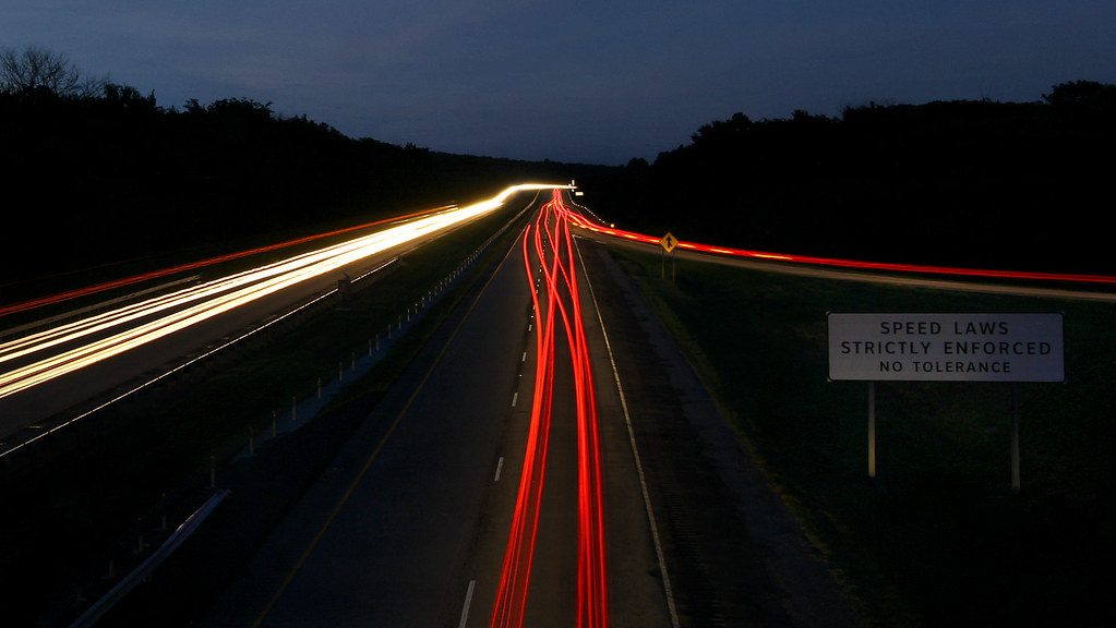
oncoming traffic

Low Water Bridge

Low Water Bridge

Midyard Sunset

Incoming Clouds

For Kim

the natural dam

Peaceful Downtown Sunrise

Sailor Take Warning: Take II

Natural Dam 2

Drone Sunset

Backyard Winter Sunset

Off into the Sunset.

Sailors Take Warning: Take I.

Sunset Silhouette

The Artist's Hand

February Sky

Van Buren Sunrise

Natural Dam at sunrise

Milkway in Arkansas

Natural Dam revisited

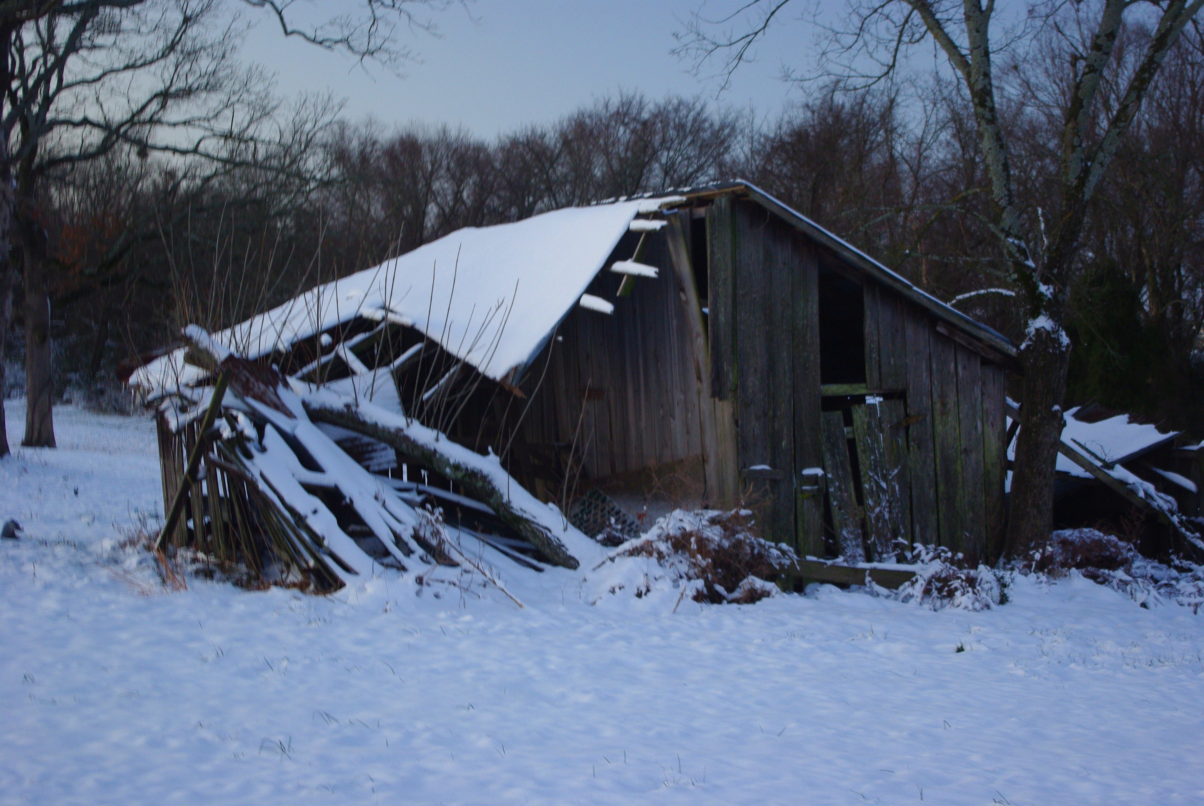
Pecan Winter

Double Sunrise

Natural Dam before sunrise

Sunnyside Snowscape

Natural Dam

Sunrise in the backyard
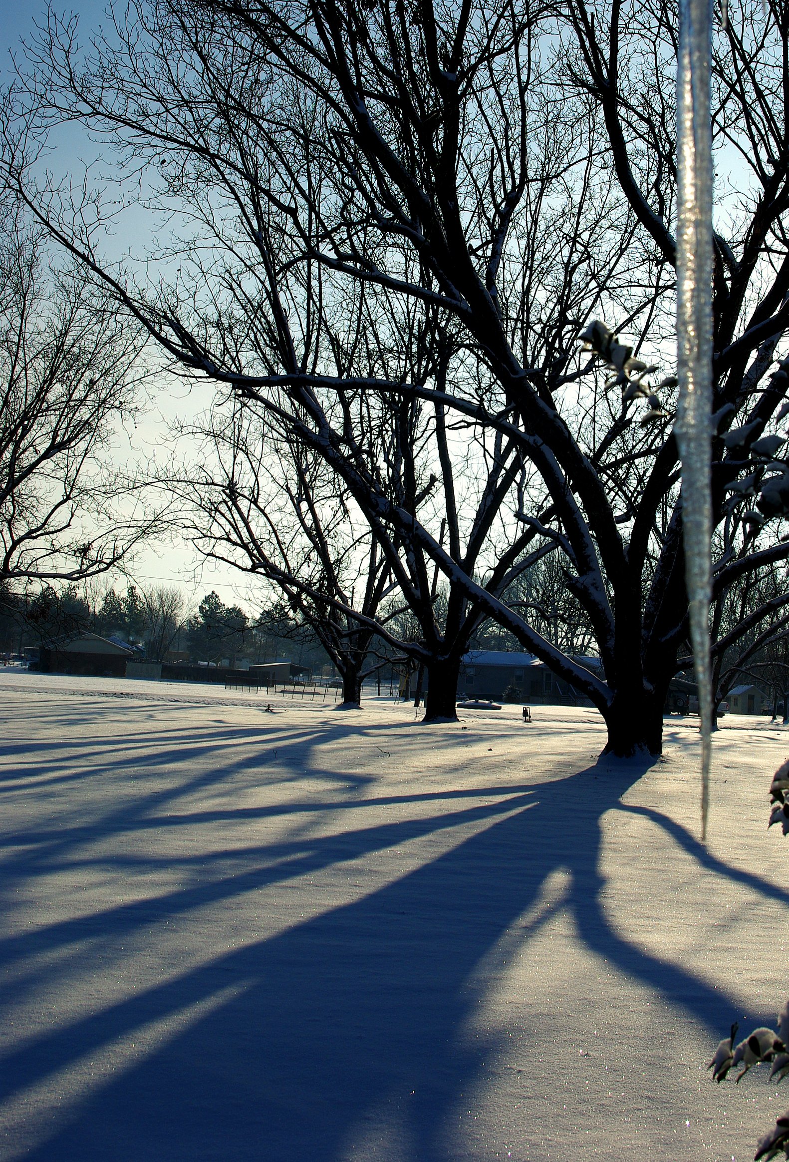
'Cicles and Shadows

Winter Sunrise

Fall Sunrise

November Morning

Sailor Take Warning: Take IV; Hawk
Age Takes All, Winter version

#sunriseweather #sunriseview #sunrise #oklahoma
Uniontown Hwy, Van Buren, AR, USA Karte
Suchen Sie einen anderen Ort
Nahe Plätze
AR-59, Cedarville, AR, USA
Cedarville, Arkansas, USA
Pine Hollow Rd, Van Buren, AR, USA
Cedarville Township, AR, USA
Kristi Ln, Van Buren, AR, USA
Biswell Rd, Van Buren, AR, USA
Uniontown Township, AR, USA
Somerset Way, Van Buren, AR, USA
Crawford County, Arkansas, USA
Oliver Springs Township, AR, USA
Azure Hills Dr, Van Buren, AR, USA
Bond Special Rd, Van Buren, AR, USA
Hobbtown Rd, Rudy, AR, USA
8 Sherwood St, Van Buren, AR, USA
Dora Township, AR, USA
Dora Rd, Van Buren, AR, USA
Woodrow Street, Woodrow St, Van Buren, AR, USA
Williams Ln, Fort Smith, AR, USA
Van Buren, Arkansas, USA
Peaceful Home Rd, Natural Dam, AR, USA
Letzte Suche
- 55 Cassick Valley Rd, Wellfleet, MA, USA Sonnenaufgang Sonnenuntergang Zeiten
- 高尾山口駅, Takaomachi, Hachiōji, Präfektur Tokio -, Japan Sonnenaufgang Sonnenuntergang Zeiten
- Somanouchicho, Tenri, Nara -, Japan Sonnenaufgang Sonnenuntergang Zeiten
- Ternate Utara, Ternate City, Nord-Molukken, Indonesien Sonnenaufgang Sonnenuntergang Zeiten
- Zhongzheng South Road, Zhongzheng S Rd, Sanchong District, New Taipei City, Taiwan Sonnenaufgang Sonnenuntergang Zeiten
- Lualaba, Demokratische Republik Kongo Sonnenaufgang Sonnenuntergang Zeiten
- A Pobra de Trives, Province of Ourense, Spain Sonnenaufgang Sonnenuntergang Zeiten
- Šodolovci, Kroatien Sonnenaufgang Sonnenuntergang Zeiten
- Pünderich, Deutschland Sonnenaufgang Sonnenuntergang Zeiten
- Steamboat Island Road Northwest, Olympia, WA, USA Sonnenaufgang Sonnenuntergang Zeiten