Sterling Cherry Farm Dam, Trafford, AL, USA Sonnenaufgang Sonnenuntergang Zeiten
Location: USA > Alabama > Blount County > Trafford >
Zeitzone:
America/Chicago
Ortszeit:
2024-05-03 17:18:23
Länge:
-86.6833259
Breite:
33.8834331
Sonnenaufgang Heute:
05:53:46 AM
Sonnenuntergang Heute:
07:33:07 PM
Tageslänge heute:
13h 39m 21s
Sonnenaufgang morgen:
05:52:50 AM
Sonnenuntergang Morgen:
07:33:53 PM
Tageslänge von morgen:
13h 41m 3s
Alle Termine anzeigen
| Datum | Sonnenaufgang | Sonnenuntergang | Tageslänge |
|---|---|---|---|
| 2024-01-01 | 06:51:54 AM | 04:49:09 PM | 9h 57m 15s |
| 2024-01-02 | 06:52:04 AM | 04:49:55 PM | 9h 57m 51s |
| 2024-01-03 | 06:52:12 AM | 04:50:41 PM | 9h 58m 29s |
| 2024-01-04 | 06:52:18 AM | 04:51:29 PM | 9h 59m 11s |
| 2024-01-05 | 06:52:23 AM | 04:52:18 PM | 9h 59m 55s |
| 2024-01-06 | 06:52:26 AM | 04:53:08 PM | 10h 0m 42s |
| 2024-01-07 | 06:52:26 AM | 04:53:59 PM | 10h 1m 33s |
| 2024-01-08 | 06:52:25 AM | 04:54:50 PM | 10h 2m 25s |
| 2024-01-09 | 06:52:22 AM | 04:55:43 PM | 10h 3m 21s |
| 2024-01-10 | 06:52:18 AM | 04:56:36 PM | 10h 4m 18s |
| 2024-01-11 | 06:52:11 AM | 04:57:29 PM | 10h 5m 18s |
| 2024-01-12 | 06:52:02 AM | 04:58:24 PM | 10h 6m 22s |
| 2024-01-13 | 06:51:52 AM | 04:59:19 PM | 10h 7m 27s |
| 2024-01-14 | 06:51:40 AM | 05:00:14 PM | 10h 8m 34s |
| 2024-01-15 | 06:51:26 AM | 05:01:10 PM | 10h 9m 44s |
| 2024-01-16 | 06:51:10 AM | 05:02:07 PM | 10h 10m 57s |
| 2024-01-17 | 06:50:52 AM | 05:03:04 PM | 10h 12m 12s |
| 2024-01-18 | 06:50:33 AM | 05:04:01 PM | 10h 13m 28s |
| 2024-01-19 | 06:50:11 AM | 05:04:59 PM | 10h 14m 48s |
| 2024-01-20 | 06:49:48 AM | 05:05:57 PM | 10h 16m 9s |
| 2024-01-21 | 06:49:23 AM | 05:06:55 PM | 10h 17m 32s |
| 2024-01-22 | 06:48:57 AM | 05:07:54 PM | 10h 18m 57s |
| 2024-01-23 | 06:48:29 AM | 05:08:52 PM | 10h 20m 23s |
| 2024-01-24 | 06:47:58 AM | 05:09:51 PM | 10h 21m 53s |
| 2024-01-25 | 06:47:27 AM | 05:10:50 PM | 10h 23m 23s |
| 2024-01-26 | 06:46:53 AM | 05:11:49 PM | 10h 24m 56s |
| 2024-01-27 | 06:46:18 AM | 05:12:48 PM | 10h 26m 30s |
| 2024-01-28 | 06:45:42 AM | 05:13:47 PM | 10h 28m 5s |
| 2024-01-29 | 06:45:03 AM | 05:14:46 PM | 10h 29m 43s |
| 2024-01-30 | 06:44:23 AM | 05:15:45 PM | 10h 31m 22s |
| 2024-01-31 | 06:43:42 AM | 05:16:44 PM | 10h 33m 2s |
| 2024-02-01 | 06:42:59 AM | 05:17:42 PM | 10h 34m 43s |
| 2024-02-02 | 06:42:14 AM | 05:18:41 PM | 10h 36m 27s |
| 2024-02-03 | 06:41:28 AM | 05:19:40 PM | 10h 38m 12s |
| 2024-02-04 | 06:40:41 AM | 05:20:38 PM | 10h 39m 57s |
| 2024-02-05 | 06:39:52 AM | 05:21:36 PM | 10h 41m 44s |
| 2024-02-06 | 06:39:02 AM | 05:22:34 PM | 10h 43m 32s |
| 2024-02-07 | 06:38:10 AM | 05:23:32 PM | 10h 45m 22s |
| 2024-02-08 | 06:37:17 AM | 05:24:29 PM | 10h 47m 12s |
| 2024-02-09 | 06:36:23 AM | 05:25:26 PM | 10h 49m 3s |
| 2024-02-10 | 06:35:28 AM | 05:26:23 PM | 10h 50m 55s |
| 2024-02-11 | 06:34:31 AM | 05:27:20 PM | 10h 52m 49s |
| 2024-02-12 | 06:33:33 AM | 05:28:16 PM | 10h 54m 43s |
| 2024-02-13 | 06:32:34 AM | 05:29:12 PM | 10h 56m 38s |
| 2024-02-14 | 06:31:33 AM | 05:30:08 PM | 10h 58m 35s |
| 2024-02-15 | 06:30:32 AM | 05:31:03 PM | 11h 0m 31s |
| 2024-02-16 | 06:29:29 AM | 05:31:58 PM | 11h 2m 29s |
| 2024-02-17 | 06:28:26 AM | 05:32:53 PM | 11h 4m 27s |
| 2024-02-18 | 06:27:21 AM | 05:33:47 PM | 11h 6m 26s |
| 2024-02-19 | 06:26:15 AM | 05:34:41 PM | 11h 8m 26s |
| 2024-02-20 | 06:25:09 AM | 05:35:35 PM | 11h 10m 26s |
| 2024-02-21 | 06:24:01 AM | 05:36:28 PM | 11h 12m 27s |
| 2024-02-22 | 06:22:53 AM | 05:37:21 PM | 11h 14m 28s |
| 2024-02-23 | 06:21:43 AM | 05:38:14 PM | 11h 16m 31s |
| 2024-02-24 | 06:20:33 AM | 05:39:06 PM | 11h 18m 33s |
| 2024-02-25 | 06:19:22 AM | 05:39:58 PM | 11h 20m 36s |
| 2024-02-26 | 06:18:10 AM | 05:40:50 PM | 11h 22m 40s |
| 2024-02-27 | 06:16:57 AM | 05:41:41 PM | 11h 24m 44s |
| 2024-02-28 | 06:15:44 AM | 05:42:32 PM | 11h 26m 48s |
| 2024-02-29 | 06:14:30 AM | 05:43:23 PM | 11h 28m 53s |
| 2024-03-01 | 06:13:16 AM | 05:44:13 PM | 11h 30m 57s |
| 2024-03-02 | 06:12:00 AM | 05:45:03 PM | 11h 33m 3s |
| 2024-03-03 | 06:10:44 AM | 05:45:53 PM | 11h 35m 9s |
| 2024-03-04 | 06:09:28 AM | 05:46:42 PM | 11h 37m 14s |
| 2024-03-05 | 06:08:11 AM | 05:47:31 PM | 11h 39m 20s |
| 2024-03-06 | 06:06:53 AM | 05:48:20 PM | 11h 41m 27s |
| 2024-03-07 | 06:05:35 AM | 05:49:08 PM | 11h 43m 33s |
| 2024-03-08 | 06:04:17 AM | 05:49:56 PM | 11h 45m 39s |
| 2024-03-09 | 06:02:58 AM | 05:50:44 PM | 11h 47m 46s |
| 2024-03-10 | 07:01:42 AM | 06:51:30 PM | 11h 49m 48s |
| 2024-03-11 | 07:00:22 AM | 06:52:18 PM | 11h 51m 56s |
| 2024-03-12 | 06:59:03 AM | 06:53:05 PM | 11h 54m 2s |
| 2024-03-13 | 06:57:42 AM | 06:53:52 PM | 11h 56m 10s |
| 2024-03-14 | 06:56:22 AM | 06:54:39 PM | 11h 58m 17s |
| 2024-03-15 | 06:55:01 AM | 06:55:25 PM | 12h 0m 24s |
| 2024-03-16 | 06:53:40 AM | 06:56:12 PM | 12h 2m 32s |
| 2024-03-17 | 06:52:19 AM | 06:56:58 PM | 12h 4m 39s |
| 2024-03-18 | 06:50:58 AM | 06:57:44 PM | 12h 6m 46s |
| 2024-03-19 | 06:49:36 AM | 06:58:30 PM | 12h 8m 54s |
| 2024-03-20 | 06:48:15 AM | 06:59:16 PM | 12h 11m 1s |
| 2024-03-21 | 06:46:53 AM | 07:00:02 PM | 12h 13m 9s |
| 2024-03-22 | 06:45:32 AM | 07:00:47 PM | 12h 15m 15s |
| 2024-03-23 | 06:44:10 AM | 07:01:33 PM | 12h 17m 23s |
| 2024-03-24 | 06:42:48 AM | 07:02:18 PM | 12h 19m 30s |
| 2024-03-25 | 06:41:27 AM | 07:03:03 PM | 12h 21m 36s |
| 2024-03-26 | 06:40:05 AM | 07:03:49 PM | 12h 23m 44s |
| 2024-03-27 | 06:38:44 AM | 07:04:34 PM | 12h 25m 50s |
| 2024-03-28 | 06:37:23 AM | 07:05:19 PM | 12h 27m 56s |
| 2024-03-29 | 06:36:02 AM | 07:06:04 PM | 12h 30m 2s |
| 2024-03-30 | 06:34:41 AM | 07:06:49 PM | 12h 32m 8s |
| 2024-03-31 | 06:33:20 AM | 07:07:34 PM | 12h 34m 14s |
| 2024-04-01 | 06:32:00 AM | 07:08:19 PM | 12h 36m 19s |
| 2024-04-02 | 06:30:40 AM | 07:09:04 PM | 12h 38m 24s |
| 2024-04-03 | 06:29:20 AM | 07:09:49 PM | 12h 40m 29s |
| 2024-04-04 | 06:28:01 AM | 07:10:34 PM | 12h 42m 33s |
| 2024-04-05 | 06:26:42 AM | 07:11:20 PM | 12h 44m 38s |
| 2024-04-06 | 06:25:23 AM | 07:12:05 PM | 12h 46m 42s |
| 2024-04-07 | 06:24:05 AM | 07:12:50 PM | 12h 48m 45s |
| 2024-04-08 | 06:22:47 AM | 07:13:35 PM | 12h 50m 48s |
| 2024-04-09 | 06:21:30 AM | 07:14:20 PM | 12h 52m 50s |
| 2024-04-10 | 06:20:13 AM | 07:15:06 PM | 12h 54m 53s |
| 2024-04-11 | 06:18:56 AM | 07:15:51 PM | 12h 56m 55s |
| 2024-04-12 | 06:17:41 AM | 07:16:36 PM | 12h 58m 55s |
| 2024-04-13 | 06:16:26 AM | 07:17:22 PM | 13h 0m 56s |
| 2024-04-14 | 06:15:11 AM | 07:18:08 PM | 13h 2m 57s |
| 2024-04-15 | 06:13:57 AM | 07:18:53 PM | 13h 4m 56s |
| 2024-04-16 | 06:12:44 AM | 07:19:39 PM | 13h 6m 55s |
| 2024-04-17 | 06:11:32 AM | 07:20:25 PM | 13h 8m 53s |
| 2024-04-18 | 06:10:20 AM | 07:21:11 PM | 13h 10m 51s |
| 2024-04-19 | 06:09:09 AM | 07:21:57 PM | 13h 12m 48s |
| 2024-04-20 | 06:07:59 AM | 07:22:43 PM | 13h 14m 44s |
| 2024-04-21 | 06:06:50 AM | 07:23:29 PM | 13h 16m 39s |
| 2024-04-22 | 06:05:41 AM | 07:24:15 PM | 13h 18m 34s |
| 2024-04-23 | 06:04:34 AM | 07:25:01 PM | 13h 20m 27s |
| 2024-04-24 | 06:03:27 AM | 07:25:48 PM | 13h 22m 21s |
| 2024-04-25 | 06:02:21 AM | 07:26:34 PM | 13h 24m 13s |
| 2024-04-26 | 06:01:16 AM | 07:27:20 PM | 13h 26m 4s |
| 2024-04-27 | 06:00:12 AM | 07:28:07 PM | 13h 27m 55s |
| 2024-04-28 | 05:59:10 AM | 07:28:53 PM | 13h 29m 43s |
| 2024-04-29 | 05:58:08 AM | 07:29:40 PM | 13h 31m 32s |
| 2024-04-30 | 05:57:07 AM | 07:30:26 PM | 13h 33m 19s |
| 2024-05-01 | 05:56:08 AM | 07:31:13 PM | 13h 35m 5s |
| 2024-05-02 | 05:55:09 AM | 07:31:59 PM | 13h 36m 50s |
| 2024-05-03 | 05:54:12 AM | 07:32:45 PM | 13h 38m 33s |
| 2024-05-04 | 05:53:15 AM | 07:33:32 PM | 13h 40m 17s |
| 2024-05-05 | 05:52:20 AM | 07:34:18 PM | 13h 41m 58s |
| 2024-05-06 | 05:51:27 AM | 07:35:04 PM | 13h 43m 37s |
| 2024-05-07 | 05:50:34 AM | 07:35:50 PM | 13h 45m 16s |
| 2024-05-08 | 05:49:43 AM | 07:36:36 PM | 13h 46m 53s |
| 2024-05-09 | 05:48:53 AM | 07:37:22 PM | 13h 48m 29s |
| 2024-05-10 | 05:48:04 AM | 07:38:08 PM | 13h 50m 4s |
| 2024-05-11 | 05:47:17 AM | 07:38:53 PM | 13h 51m 36s |
| 2024-05-12 | 05:46:31 AM | 07:39:39 PM | 13h 53m 8s |
| 2024-05-13 | 05:45:46 AM | 07:40:24 PM | 13h 54m 38s |
| 2024-05-14 | 05:45:03 AM | 07:41:09 PM | 13h 56m 6s |
| 2024-05-15 | 05:44:21 AM | 07:41:53 PM | 13h 57m 32s |
| 2024-05-16 | 05:43:41 AM | 07:42:37 PM | 13h 58m 56s |
| 2024-05-17 | 05:43:02 AM | 07:43:21 PM | 14h 0m 19s |
| 2024-05-18 | 05:42:24 AM | 07:44:05 PM | 14h 1m 41s |
| 2024-05-19 | 05:41:48 AM | 07:44:48 PM | 14h 3m 0s |
| 2024-05-20 | 05:41:14 AM | 07:45:30 PM | 14h 4m 16s |
| 2024-05-21 | 05:40:41 AM | 07:46:13 PM | 14h 5m 32s |
| 2024-05-22 | 05:40:09 AM | 07:46:54 PM | 14h 6m 45s |
| 2024-05-23 | 05:39:39 AM | 07:47:36 PM | 14h 7m 57s |
| 2024-05-24 | 05:39:11 AM | 07:48:16 PM | 14h 9m 5s |
| 2024-05-25 | 05:38:44 AM | 07:48:56 PM | 14h 10m 12s |
| 2024-05-26 | 05:38:19 AM | 07:49:36 PM | 14h 11m 17s |
| 2024-05-27 | 05:37:55 AM | 07:50:15 PM | 14h 12m 20s |
| 2024-05-28 | 05:37:33 AM | 07:50:53 PM | 14h 13m 20s |
| 2024-05-29 | 05:37:12 AM | 07:51:30 PM | 14h 14m 18s |
| 2024-05-30 | 05:36:54 AM | 07:52:07 PM | 14h 15m 13s |
| 2024-05-31 | 05:36:36 AM | 07:52:42 PM | 14h 16m 6s |
| 2024-06-01 | 05:36:20 AM | 07:53:17 PM | 14h 16m 57s |
| 2024-06-02 | 05:36:06 AM | 07:53:52 PM | 14h 17m 46s |
| 2024-06-03 | 05:35:54 AM | 07:54:25 PM | 14h 18m 31s |
| 2024-06-04 | 05:35:43 AM | 07:54:57 PM | 14h 19m 14s |
| 2024-06-05 | 05:35:33 AM | 07:55:28 PM | 14h 19m 55s |
| 2024-06-06 | 05:35:26 AM | 07:55:59 PM | 14h 20m 33s |
| 2024-06-07 | 05:35:19 AM | 07:56:28 PM | 14h 21m 9s |
| 2024-06-08 | 05:35:15 AM | 07:56:56 PM | 14h 21m 41s |
| 2024-06-09 | 05:35:12 AM | 07:57:23 PM | 14h 22m 11s |
| 2024-06-10 | 05:35:10 AM | 07:57:49 PM | 14h 22m 39s |
| 2024-06-11 | 05:35:10 AM | 07:58:14 PM | 14h 23m 4s |
| 2024-06-12 | 05:35:12 AM | 07:58:38 PM | 14h 23m 26s |
| 2024-06-13 | 05:35:15 AM | 07:59:00 PM | 14h 23m 45s |
| 2024-06-14 | 05:35:20 AM | 07:59:21 PM | 14h 24m 1s |
| 2024-06-15 | 05:35:26 AM | 07:59:41 PM | 14h 24m 15s |
| 2024-06-16 | 05:35:33 AM | 07:59:59 PM | 14h 24m 26s |
| 2024-06-17 | 05:35:42 AM | 08:00:17 PM | 14h 24m 35s |
| 2024-06-18 | 05:35:53 AM | 08:00:32 PM | 14h 24m 39s |
| 2024-06-19 | 05:36:04 AM | 08:00:47 PM | 14h 24m 43s |
| 2024-06-20 | 05:36:18 AM | 08:01:00 PM | 14h 24m 42s |
| 2024-06-21 | 05:36:32 AM | 08:01:11 PM | 14h 24m 39s |
| 2024-06-22 | 05:36:48 AM | 08:01:21 PM | 14h 24m 33s |
| 2024-06-23 | 05:37:05 AM | 08:01:30 PM | 14h 24m 25s |
| 2024-06-24 | 05:37:24 AM | 08:01:37 PM | 14h 24m 13s |
| 2024-06-25 | 05:37:43 AM | 08:01:42 PM | 14h 23m 59s |
| 2024-06-26 | 05:38:04 AM | 08:01:46 PM | 14h 23m 42s |
| 2024-06-27 | 05:38:26 AM | 08:01:48 PM | 14h 23m 22s |
| 2024-06-28 | 05:38:50 AM | 08:01:49 PM | 14h 22m 59s |
| 2024-06-29 | 05:39:14 AM | 08:01:48 PM | 14h 22m 34s |
| 2024-06-30 | 05:39:39 AM | 08:01:46 PM | 14h 22m 7s |
| 2024-07-01 | 05:40:06 AM | 08:01:42 PM | 14h 21m 36s |
| 2024-07-02 | 05:40:34 AM | 08:01:37 PM | 14h 21m 3s |
| 2024-07-03 | 05:41:02 AM | 08:01:29 PM | 14h 20m 27s |
| 2024-07-04 | 05:41:32 AM | 08:01:20 PM | 14h 19m 48s |
| 2024-07-05 | 05:42:02 AM | 08:01:10 PM | 14h 19m 8s |
| 2024-07-06 | 05:42:33 AM | 08:00:58 PM | 14h 18m 25s |
| 2024-07-07 | 05:43:06 AM | 08:00:44 PM | 14h 17m 38s |
| 2024-07-08 | 05:43:39 AM | 08:00:29 PM | 14h 16m 50s |
| 2024-07-09 | 05:44:12 AM | 08:00:12 PM | 14h 16m 0s |
| 2024-07-10 | 05:44:47 AM | 07:59:53 PM | 14h 15m 6s |
| 2024-07-11 | 05:45:22 AM | 07:59:33 PM | 14h 14m 11s |
| 2024-07-12 | 05:45:58 AM | 07:59:11 PM | 14h 13m 13s |
| 2024-07-13 | 05:46:35 AM | 07:58:47 PM | 14h 12m 12s |
| 2024-07-14 | 05:47:12 AM | 07:58:22 PM | 14h 11m 10s |
| 2024-07-15 | 05:47:50 AM | 07:57:55 PM | 14h 10m 5s |
| 2024-07-16 | 05:48:28 AM | 07:57:27 PM | 14h 8m 59s |
| 2024-07-17 | 05:49:07 AM | 07:56:57 PM | 14h 7m 50s |
| 2024-07-18 | 05:49:46 AM | 07:56:25 PM | 14h 6m 39s |
| 2024-07-19 | 05:50:26 AM | 07:55:52 PM | 14h 5m 26s |
| 2024-07-20 | 05:51:06 AM | 07:55:18 PM | 14h 4m 12s |
| 2024-07-21 | 05:51:47 AM | 07:54:42 PM | 14h 2m 55s |
| 2024-07-22 | 05:52:27 AM | 07:54:04 PM | 14h 1m 37s |
| 2024-07-23 | 05:53:09 AM | 07:53:25 PM | 14h 0m 16s |
| 2024-07-24 | 05:53:50 AM | 07:52:44 PM | 13h 58m 54s |
| 2024-07-25 | 05:54:32 AM | 07:52:02 PM | 13h 57m 30s |
| 2024-07-26 | 05:55:14 AM | 07:51:18 PM | 13h 56m 4s |
| 2024-07-27 | 05:55:56 AM | 07:50:33 PM | 13h 54m 37s |
| 2024-07-28 | 05:56:39 AM | 07:49:47 PM | 13h 53m 8s |
| 2024-07-29 | 05:57:21 AM | 07:48:59 PM | 13h 51m 38s |
| 2024-07-30 | 05:58:04 AM | 07:48:10 PM | 13h 50m 6s |
| 2024-07-31 | 05:58:47 AM | 07:47:20 PM | 13h 48m 33s |
| 2024-08-01 | 05:59:30 AM | 07:46:28 PM | 13h 46m 58s |
| 2024-08-02 | 06:00:13 AM | 07:45:35 PM | 13h 45m 22s |
| 2024-08-03 | 06:00:56 AM | 07:44:40 PM | 13h 43m 44s |
| 2024-08-04 | 06:01:40 AM | 07:43:45 PM | 13h 42m 5s |
| 2024-08-05 | 06:02:23 AM | 07:42:48 PM | 13h 40m 25s |
| 2024-08-06 | 06:03:06 AM | 07:41:50 PM | 13h 38m 44s |
| 2024-08-07 | 06:03:49 AM | 07:40:50 PM | 13h 37m 1s |
| 2024-08-08 | 06:04:33 AM | 07:39:50 PM | 13h 35m 17s |
| 2024-08-09 | 06:05:16 AM | 07:38:48 PM | 13h 33m 32s |
| 2024-08-10 | 06:05:59 AM | 07:37:46 PM | 13h 31m 47s |
| 2024-08-11 | 06:06:42 AM | 07:36:42 PM | 13h 30m 0s |
| 2024-08-12 | 06:07:25 AM | 07:35:37 PM | 13h 28m 12s |
| 2024-08-13 | 06:08:08 AM | 07:34:32 PM | 13h 26m 24s |
| 2024-08-14 | 06:08:51 AM | 07:33:25 PM | 13h 24m 34s |
| 2024-08-15 | 06:09:34 AM | 07:32:17 PM | 13h 22m 43s |
| 2024-08-16 | 06:10:17 AM | 07:31:09 PM | 13h 20m 52s |
| 2024-08-17 | 06:10:59 AM | 07:29:59 PM | 13h 19m 0s |
| 2024-08-18 | 06:11:42 AM | 07:28:49 PM | 13h 17m 7s |
| 2024-08-19 | 06:12:24 AM | 07:27:37 PM | 13h 15m 13s |
| 2024-08-20 | 06:13:07 AM | 07:26:25 PM | 13h 13m 18s |
| 2024-08-21 | 06:13:49 AM | 07:25:12 PM | 13h 11m 23s |
| 2024-08-22 | 06:14:31 AM | 07:23:59 PM | 13h 9m 28s |
| 2024-08-23 | 06:15:13 AM | 07:22:44 PM | 13h 7m 31s |
| 2024-08-24 | 06:15:55 AM | 07:21:29 PM | 13h 5m 34s |
| 2024-08-25 | 06:16:37 AM | 07:20:13 PM | 13h 3m 36s |
| 2024-08-26 | 06:17:19 AM | 07:18:57 PM | 13h 1m 38s |
| 2024-08-27 | 06:18:00 AM | 07:17:39 PM | 12h 59m 39s |
| 2024-08-28 | 06:18:42 AM | 07:16:22 PM | 12h 57m 40s |
| 2024-08-29 | 06:19:23 AM | 07:15:03 PM | 12h 55m 40s |
| 2024-08-30 | 06:20:04 AM | 07:13:44 PM | 12h 53m 40s |
| 2024-08-31 | 06:20:46 AM | 07:12:25 PM | 12h 51m 39s |
| 2024-09-01 | 06:21:27 AM | 07:11:05 PM | 12h 49m 38s |
| 2024-09-02 | 06:22:08 AM | 07:09:45 PM | 12h 47m 37s |
| 2024-09-03 | 06:22:49 AM | 07:08:24 PM | 12h 45m 35s |
| 2024-09-04 | 06:23:30 AM | 07:07:03 PM | 12h 43m 33s |
| 2024-09-05 | 06:24:11 AM | 07:05:41 PM | 12h 41m 30s |
| 2024-09-06 | 06:24:52 AM | 07:04:19 PM | 12h 39m 27s |
| 2024-09-07 | 06:25:33 AM | 07:02:57 PM | 12h 37m 24s |
| 2024-09-08 | 06:26:13 AM | 07:01:34 PM | 12h 35m 21s |
| 2024-09-09 | 06:26:54 AM | 07:00:12 PM | 12h 33m 18s |
| 2024-09-10 | 06:27:35 AM | 06:58:48 PM | 12h 31m 13s |
| 2024-09-11 | 06:28:16 AM | 06:57:25 PM | 12h 29m 9s |
| 2024-09-12 | 06:28:57 AM | 06:56:02 PM | 12h 27m 5s |
| 2024-09-13 | 06:29:38 AM | 06:54:38 PM | 12h 25m 0s |
| 2024-09-14 | 06:30:18 AM | 06:53:14 PM | 12h 22m 56s |
| 2024-09-15 | 06:30:59 AM | 06:51:50 PM | 12h 20m 51s |
| 2024-09-16 | 06:31:40 AM | 06:50:27 PM | 12h 18m 47s |
| 2024-09-17 | 06:32:22 AM | 06:49:03 PM | 12h 16m 41s |
| 2024-09-18 | 06:33:03 AM | 06:47:39 PM | 12h 14m 36s |
| 2024-09-19 | 06:33:44 AM | 06:46:15 PM | 12h 12m 31s |
| 2024-09-20 | 06:34:25 AM | 06:44:51 PM | 12h 10m 26s |
| 2024-09-21 | 06:35:07 AM | 06:43:27 PM | 12h 8m 20s |
| 2024-09-22 | 06:35:49 AM | 06:42:03 PM | 12h 6m 14s |
| 2024-09-23 | 06:36:30 AM | 06:40:39 PM | 12h 4m 9s |
| 2024-09-24 | 06:37:12 AM | 06:39:16 PM | 12h 2m 4s |
| 2024-09-25 | 06:37:55 AM | 06:37:53 PM | 11h 59m 58s |
| 2024-09-26 | 06:38:37 AM | 06:36:30 PM | 11h 57m 53s |
| 2024-09-27 | 06:39:20 AM | 06:35:07 PM | 11h 55m 47s |
| 2024-09-28 | 06:40:02 AM | 06:33:44 PM | 11h 53m 42s |
| 2024-09-29 | 06:40:45 AM | 06:32:22 PM | 11h 51m 37s |
| 2024-09-30 | 06:41:28 AM | 06:31:00 PM | 11h 49m 32s |
| 2024-10-01 | 06:42:12 AM | 06:29:38 PM | 11h 47m 26s |
| 2024-10-02 | 06:42:56 AM | 06:28:17 PM | 11h 45m 21s |
| 2024-10-03 | 06:43:40 AM | 06:26:56 PM | 11h 43m 16s |
| 2024-10-04 | 06:44:24 AM | 06:25:36 PM | 11h 41m 12s |
| 2024-10-05 | 06:45:08 AM | 06:24:16 PM | 11h 39m 8s |
| 2024-10-06 | 06:45:53 AM | 06:22:57 PM | 11h 37m 4s |
| 2024-10-07 | 06:46:38 AM | 06:21:38 PM | 11h 35m 0s |
| 2024-10-08 | 06:47:24 AM | 06:20:20 PM | 11h 32m 56s |
| 2024-10-09 | 06:48:10 AM | 06:19:02 PM | 11h 30m 52s |
| 2024-10-10 | 06:48:56 AM | 06:17:45 PM | 11h 28m 49s |
| 2024-10-11 | 06:49:42 AM | 06:16:29 PM | 11h 26m 47s |
| 2024-10-12 | 06:50:29 AM | 06:15:13 PM | 11h 24m 44s |
| 2024-10-13 | 06:51:16 AM | 06:13:59 PM | 11h 22m 43s |
| 2024-10-14 | 06:52:04 AM | 06:12:44 PM | 11h 20m 40s |
| 2024-10-15 | 06:52:52 AM | 06:11:31 PM | 11h 18m 39s |
| 2024-10-16 | 06:53:40 AM | 06:10:18 PM | 11h 16m 38s |
| 2024-10-17 | 06:54:28 AM | 06:09:07 PM | 11h 14m 39s |
| 2024-10-18 | 06:55:17 AM | 06:07:56 PM | 11h 12m 39s |
| 2024-10-19 | 06:56:07 AM | 06:06:46 PM | 11h 10m 39s |
| 2024-10-20 | 06:56:57 AM | 06:05:37 PM | 11h 8m 40s |
| 2024-10-21 | 06:57:47 AM | 06:04:29 PM | 11h 6m 42s |
| 2024-10-22 | 06:58:37 AM | 06:03:22 PM | 11h 4m 45s |
| 2024-10-23 | 06:59:28 AM | 06:02:16 PM | 11h 2m 48s |
| 2024-10-24 | 07:00:19 AM | 06:01:11 PM | 11h 0m 52s |
| 2024-10-25 | 07:01:11 AM | 06:00:07 PM | 10h 58m 56s |
| 2024-10-26 | 07:02:03 AM | 05:59:04 PM | 10h 57m 1s |
| 2024-10-27 | 07:02:55 AM | 05:58:02 PM | 10h 55m 7s |
| 2024-10-28 | 07:03:48 AM | 05:57:02 PM | 10h 53m 14s |
| 2024-10-29 | 07:04:41 AM | 05:56:03 PM | 10h 51m 22s |
| 2024-10-30 | 07:05:34 AM | 05:55:05 PM | 10h 49m 31s |
| 2024-10-31 | 07:06:28 AM | 05:54:08 PM | 10h 47m 40s |
| 2024-11-01 | 07:07:22 AM | 05:53:12 PM | 10h 45m 50s |
| 2024-11-02 | 07:08:16 AM | 05:52:18 PM | 10h 44m 2s |
| 2024-11-03 | 06:09:13 AM | 04:51:23 PM | 10h 42m 10s |
| 2024-11-04 | 06:10:08 AM | 04:50:32 PM | 10h 40m 24s |
| 2024-11-05 | 06:11:03 AM | 04:49:42 PM | 10h 38m 39s |
| 2024-11-06 | 06:11:58 AM | 04:48:54 PM | 10h 36m 56s |
| 2024-11-07 | 06:12:53 AM | 04:48:07 PM | 10h 35m 14s |
| 2024-11-08 | 06:13:49 AM | 04:47:21 PM | 10h 33m 32s |
| 2024-11-09 | 06:14:45 AM | 04:46:38 PM | 10h 31m 53s |
| 2024-11-10 | 06:15:41 AM | 04:45:55 PM | 10h 30m 14s |
| 2024-11-11 | 06:16:37 AM | 04:45:14 PM | 10h 28m 37s |
| 2024-11-12 | 06:17:33 AM | 04:44:35 PM | 10h 27m 2s |
| 2024-11-13 | 06:18:29 AM | 04:43:58 PM | 10h 25m 29s |
| 2024-11-14 | 06:19:26 AM | 04:43:22 PM | 10h 23m 56s |
| 2024-11-15 | 06:20:22 AM | 04:42:48 PM | 10h 22m 26s |
| 2024-11-16 | 06:21:18 AM | 04:42:15 PM | 10h 20m 57s |
| 2024-11-17 | 06:22:14 AM | 04:41:45 PM | 10h 19m 31s |
| 2024-11-18 | 06:23:10 AM | 04:41:16 PM | 10h 18m 6s |
| 2024-11-19 | 06:24:06 AM | 04:40:48 PM | 10h 16m 42s |
| 2024-11-20 | 06:25:02 AM | 04:40:23 PM | 10h 15m 21s |
| 2024-11-21 | 06:25:58 AM | 04:39:59 PM | 10h 14m 1s |
| 2024-11-22 | 06:26:53 AM | 04:39:37 PM | 10h 12m 44s |
| 2024-11-23 | 06:27:48 AM | 04:39:17 PM | 10h 11m 29s |
| 2024-11-24 | 06:28:43 AM | 04:38:59 PM | 10h 10m 16s |
| 2024-11-25 | 06:29:37 AM | 04:38:43 PM | 10h 9m 6s |
| 2024-11-26 | 06:30:31 AM | 04:38:28 PM | 10h 7m 57s |
| 2024-11-27 | 06:31:25 AM | 04:38:16 PM | 10h 6m 51s |
| 2024-11-28 | 06:32:18 AM | 04:38:05 PM | 10h 5m 47s |
| 2024-11-29 | 06:33:10 AM | 04:37:56 PM | 10h 4m 46s |
| 2024-11-30 | 06:34:02 AM | 04:37:49 PM | 10h 3m 47s |
| 2024-12-01 | 06:34:53 AM | 04:37:44 PM | 10h 2m 51s |
| 2024-12-02 | 06:35:44 AM | 04:37:41 PM | 10h 1m 57s |
| 2024-12-03 | 06:36:33 AM | 04:37:40 PM | 10h 1m 7s |
| 2024-12-04 | 06:37:22 AM | 04:37:41 PM | 10h 0m 19s |
| 2024-12-05 | 06:38:11 AM | 04:37:43 PM | 9h 59m 32s |
| 2024-12-06 | 06:38:58 AM | 04:37:48 PM | 9h 58m 50s |
| 2024-12-07 | 06:39:44 AM | 04:37:54 PM | 9h 58m 10s |
| 2024-12-08 | 06:40:30 AM | 04:38:02 PM | 9h 57m 32s |
| 2024-12-09 | 06:41:14 AM | 04:38:12 PM | 9h 56m 58s |
| 2024-12-10 | 06:41:57 AM | 04:38:24 PM | 9h 56m 27s |
| 2024-12-11 | 06:42:40 AM | 04:38:38 PM | 9h 55m 58s |
| 2024-12-12 | 06:43:21 AM | 04:38:54 PM | 9h 55m 33s |
| 2024-12-13 | 06:44:01 AM | 04:39:11 PM | 9h 55m 10s |
| 2024-12-14 | 06:44:39 AM | 04:39:30 PM | 9h 54m 51s |
| 2024-12-15 | 06:45:17 AM | 04:39:51 PM | 9h 54m 34s |
| 2024-12-16 | 06:45:53 AM | 04:40:14 PM | 9h 54m 21s |
| 2024-12-17 | 06:46:28 AM | 04:40:38 PM | 9h 54m 10s |
| 2024-12-18 | 06:47:01 AM | 04:41:04 PM | 9h 54m 3s |
| 2024-12-19 | 06:47:33 AM | 04:41:31 PM | 9h 53m 58s |
| 2024-12-20 | 06:48:03 AM | 04:42:01 PM | 9h 53m 58s |
| 2024-12-21 | 06:48:32 AM | 04:42:31 PM | 9h 53m 59s |
| 2024-12-22 | 06:48:59 AM | 04:43:04 PM | 9h 54m 5s |
| 2024-12-23 | 06:49:25 AM | 04:43:38 PM | 9h 54m 13s |
| 2024-12-24 | 06:49:49 AM | 04:44:13 PM | 9h 54m 24s |
| 2024-12-25 | 06:50:12 AM | 04:44:50 PM | 9h 54m 38s |
| 2024-12-26 | 06:50:33 AM | 04:45:28 PM | 9h 54m 55s |
| 2024-12-27 | 06:50:52 AM | 04:46:07 PM | 9h 55m 15s |
| 2024-12-28 | 06:51:09 AM | 04:46:48 PM | 9h 55m 39s |
| 2024-12-29 | 06:51:25 AM | 04:47:30 PM | 9h 56m 5s |
| 2024-12-30 | 06:51:39 AM | 04:48:13 PM | 9h 56m 34s |
Fotos

family 108

family 109
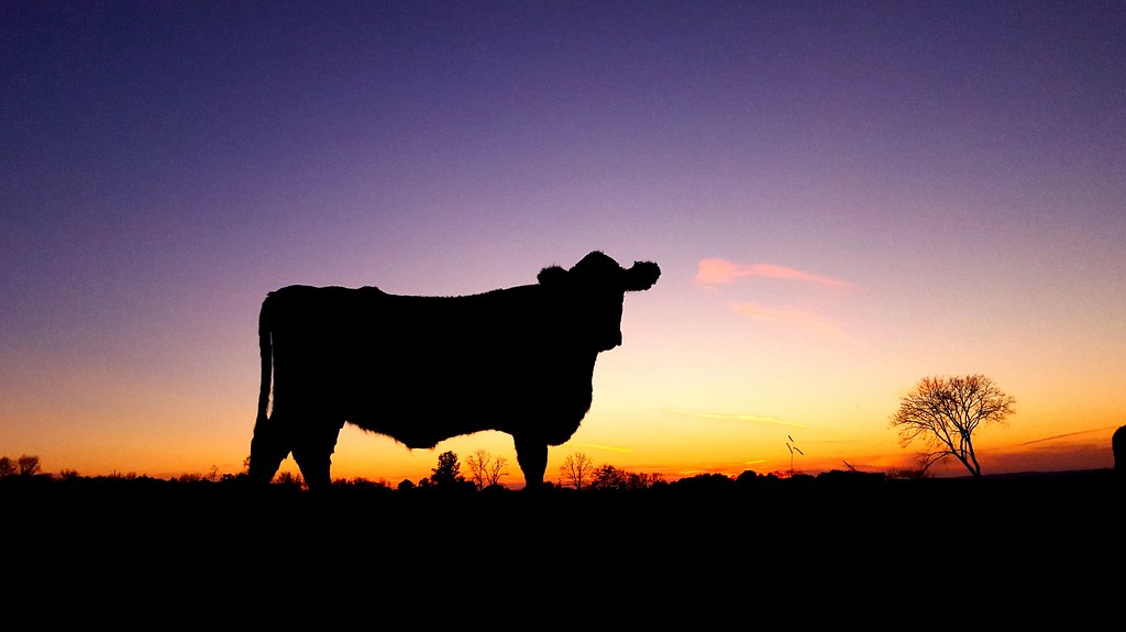
Cow silhouette at sunset
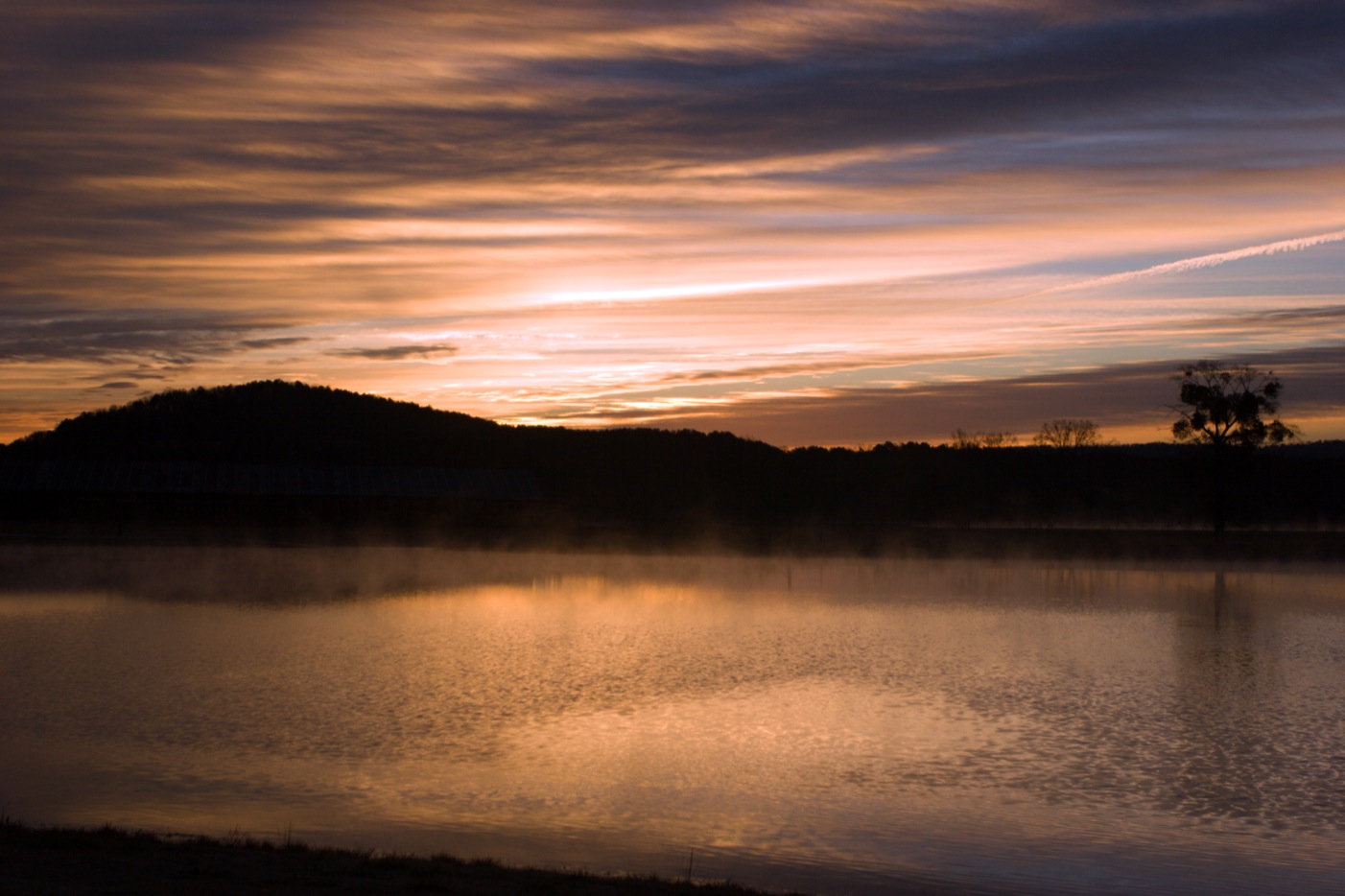
Photographer's Paradise

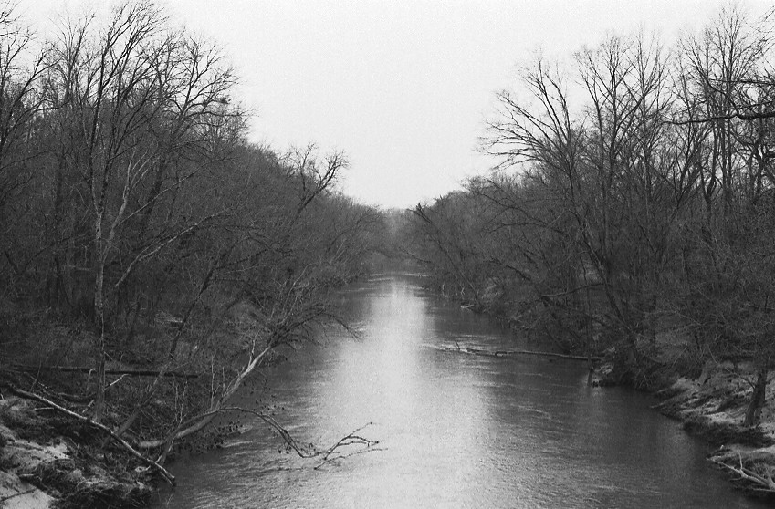
The Locust Fork, Blount County, Alabama
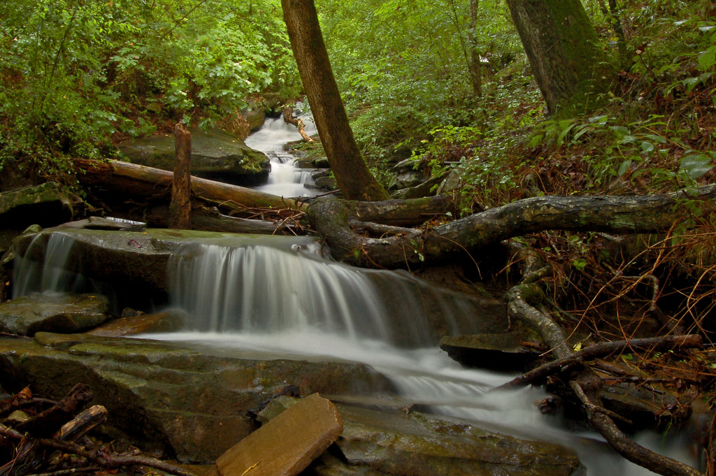
More Nectar Falls

I think I'd like to have lunch on that rock
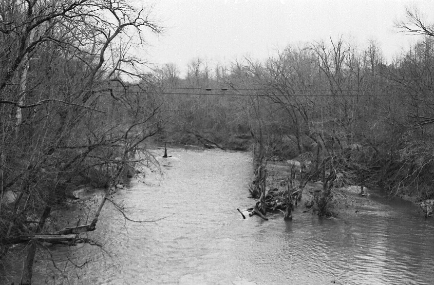
Locust Fork of the Black Warrior River / P1983-0213a057-17
Locust Fork of the Black Warrior River / P1983-0213a057-16
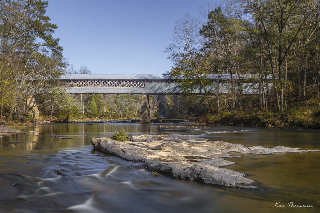
Swann Covered Bridge...
Sterling Cherry Farm Dam, Trafford, AL, USA Karte
Suchen Sie einen anderen Ort
Nahe Plätze
Wallstown Rd, Hayden, AL, USA
Spoonhandle Rd, Trafford, AL, USA
County Line, Alabama, USA
70 Thermal Rd, Trafford, AL, USA
Hayden, AL, USA
Trafford, AL, USA
Masseyline Church Rd, Pinson, AL, USA
County Hwy 15, Oneonta, AL, USA
64 Mountain Oaks Valley Rd, Warrior, AL, USA
Remlap Dr, Remlap, AL, USA
Remlap, AL, USA
Cumberland Lake Dr, Pinson, AL, USA
AL-75, Remlap, AL, USA
Saddleback Rd, Oneonta, AL, USA
Old Hayden Rd, Warrior, AL, USA
Drennen Park Cir, Hayden, AL, USA
Crosshill Ln, Warrior, AL, USA
Smoke Rise, AL, USA
Smoke Rise Trail, Warrior, AL, USA
Warrior, AL, USA
Letzte Suche
- Woodland Oak Pl, Thousand Oaks, CA, USA Sonnenaufgang Sonnenuntergang Zeiten
- Sarangdanda, Nepal Sonnenaufgang Sonnenuntergang Zeiten
- Nakanoshima, Shiogama, Miyagi -, Japan Sonnenaufgang Sonnenuntergang Zeiten
- Center of Research in Astronomy, Astrophysics, and Geophysics, bp - 63 Rte de l'Observatoire, Bouzar Sonnenaufgang Sonnenuntergang Zeiten
- Crocker Dr, Vacaville, CA, USA Sonnenaufgang Sonnenuntergang Zeiten
- Pu Ngaol Community Meeting Hall, HWHM+3X7, Krong Saen Monourom, Cambodia Sonnenaufgang Sonnenuntergang Zeiten
- Pantai Cermin, batu 10, Jalan Pantai, Port Dickson, Melaka, Malaysia Sonnenaufgang Sonnenuntergang Zeiten
- Groblershoop, South Africa Sonnenaufgang Sonnenuntergang Zeiten
- Petriti, Griechenland Sonnenaufgang Sonnenuntergang Zeiten
- Chesaw Rd, Oroville, WA, USA Sonnenaufgang Sonnenuntergang Zeiten