Shoals Landing, Ashland City, TN, USA Sonnenaufgang Sonnenuntergang Zeiten
Location: USA > Tennessee > Cheatham County > Ashland Stadt >
Zeitzone:
America/Chicago
Ortszeit:
2024-05-02 02:14:07
Länge:
-87.0836746
Breite:
36.2757072
Sonnenaufgang Heute:
05:53:01 AM
Sonnenuntergang Heute:
07:37:25 PM
Tageslänge heute:
13h 44m 24s
Sonnenaufgang morgen:
05:51:58 AM
Sonnenuntergang Morgen:
07:38:17 PM
Tageslänge von morgen:
13h 46m 19s
Alle Termine anzeigen
| Datum | Sonnenaufgang | Sonnenuntergang | Tageslänge |
|---|---|---|---|
| 2024-01-01 | 06:59:40 AM | 04:44:35 PM | 9h 44m 55s |
| 2024-01-02 | 06:59:48 AM | 04:45:23 PM | 9h 45m 35s |
| 2024-01-03 | 06:59:54 AM | 04:46:12 PM | 9h 46m 18s |
| 2024-01-04 | 06:59:58 AM | 04:47:02 PM | 9h 47m 4s |
| 2024-01-05 | 07:00:00 AM | 04:47:53 PM | 9h 47m 53s |
| 2024-01-06 | 07:00:00 AM | 04:48:45 PM | 9h 48m 45s |
| 2024-01-07 | 06:59:59 AM | 04:49:39 PM | 9h 49m 40s |
| 2024-01-08 | 06:59:55 AM | 04:50:33 PM | 9h 50m 38s |
| 2024-01-09 | 06:59:49 AM | 04:51:28 PM | 9h 51m 39s |
| 2024-01-10 | 06:59:41 AM | 04:52:24 PM | 9h 52m 43s |
| 2024-01-11 | 06:59:32 AM | 04:53:21 PM | 9h 53m 49s |
| 2024-01-12 | 06:59:20 AM | 04:54:18 PM | 9h 54m 58s |
| 2024-01-13 | 06:59:06 AM | 04:55:17 PM | 9h 56m 11s |
| 2024-01-14 | 06:58:51 AM | 04:56:16 PM | 9h 57m 25s |
| 2024-01-15 | 06:58:33 AM | 04:57:15 PM | 9h 58m 42s |
| 2024-01-16 | 06:58:14 AM | 04:58:15 PM | 10h 0m 1s |
| 2024-01-17 | 06:57:52 AM | 04:59:16 PM | 10h 1m 24s |
| 2024-01-18 | 06:57:29 AM | 05:00:17 PM | 10h 2m 48s |
| 2024-01-19 | 06:57:04 AM | 05:01:19 PM | 10h 4m 15s |
| 2024-01-20 | 06:56:37 AM | 05:02:21 PM | 10h 5m 44s |
| 2024-01-21 | 06:56:08 AM | 05:03:23 PM | 10h 7m 15s |
| 2024-01-22 | 06:55:37 AM | 05:04:26 PM | 10h 8m 49s |
| 2024-01-23 | 06:55:04 AM | 05:05:29 PM | 10h 10m 25s |
| 2024-01-24 | 06:54:30 AM | 05:06:32 PM | 10h 12m 2s |
| 2024-01-25 | 06:53:54 AM | 05:07:35 PM | 10h 13m 41s |
| 2024-01-26 | 06:53:16 AM | 05:08:39 PM | 10h 15m 23s |
| 2024-01-27 | 06:52:36 AM | 05:09:42 PM | 10h 17m 6s |
| 2024-01-28 | 06:51:54 AM | 05:10:46 PM | 10h 18m 52s |
| 2024-01-29 | 06:51:11 AM | 05:11:50 PM | 10h 20m 39s |
| 2024-01-30 | 06:50:27 AM | 05:12:54 PM | 10h 22m 27s |
| 2024-01-31 | 06:49:40 AM | 05:13:57 PM | 10h 24m 17s |
| 2024-02-01 | 06:48:52 AM | 05:15:01 PM | 10h 26m 9s |
| 2024-02-02 | 06:48:03 AM | 05:16:05 PM | 10h 28m 2s |
| 2024-02-03 | 06:47:12 AM | 05:17:08 PM | 10h 29m 56s |
| 2024-02-04 | 06:46:19 AM | 05:18:12 PM | 10h 31m 53s |
| 2024-02-05 | 06:45:25 AM | 05:19:15 PM | 10h 33m 50s |
| 2024-02-06 | 06:44:30 AM | 05:20:18 PM | 10h 35m 48s |
| 2024-02-07 | 06:43:33 AM | 05:21:21 PM | 10h 37m 48s |
| 2024-02-08 | 06:42:35 AM | 05:22:24 PM | 10h 39m 49s |
| 2024-02-09 | 06:41:35 AM | 05:23:27 PM | 10h 41m 52s |
| 2024-02-10 | 06:40:34 AM | 05:24:29 PM | 10h 43m 55s |
| 2024-02-11 | 06:39:32 AM | 05:25:31 PM | 10h 45m 59s |
| 2024-02-12 | 06:38:28 AM | 05:26:33 PM | 10h 48m 5s |
| 2024-02-13 | 06:37:24 AM | 05:27:34 PM | 10h 50m 10s |
| 2024-02-14 | 06:36:18 AM | 05:28:36 PM | 10h 52m 18s |
| 2024-02-15 | 06:35:11 AM | 05:29:37 PM | 10h 54m 26s |
| 2024-02-16 | 06:34:03 AM | 05:30:37 PM | 10h 56m 34s |
| 2024-02-17 | 06:32:53 AM | 05:31:38 PM | 10h 58m 45s |
| 2024-02-18 | 06:31:43 AM | 05:32:38 PM | 11h 0m 55s |
| 2024-02-19 | 06:30:32 AM | 05:33:37 PM | 11h 3m 5s |
| 2024-02-20 | 06:29:19 AM | 05:34:37 PM | 11h 5m 18s |
| 2024-02-21 | 06:28:06 AM | 05:35:36 PM | 11h 7m 30s |
| 2024-02-22 | 06:26:52 AM | 05:36:34 PM | 11h 9m 42s |
| 2024-02-23 | 06:25:37 AM | 05:37:33 PM | 11h 11m 56s |
| 2024-02-24 | 06:24:21 AM | 05:38:31 PM | 11h 14m 10s |
| 2024-02-25 | 06:23:04 AM | 05:39:29 PM | 11h 16m 25s |
| 2024-02-26 | 06:21:46 AM | 05:40:26 PM | 11h 18m 40s |
| 2024-02-27 | 06:20:28 AM | 05:41:23 PM | 11h 20m 55s |
| 2024-02-28 | 06:19:09 AM | 05:42:20 PM | 11h 23m 11s |
| 2024-02-29 | 06:17:49 AM | 05:43:16 PM | 11h 25m 27s |
| 2024-03-01 | 06:16:28 AM | 05:44:12 PM | 11h 27m 44s |
| 2024-03-02 | 06:15:07 AM | 05:45:08 PM | 11h 30m 1s |
| 2024-03-03 | 06:13:45 AM | 05:46:04 PM | 11h 32m 19s |
| 2024-03-04 | 06:12:23 AM | 05:46:59 PM | 11h 34m 36s |
| 2024-03-05 | 06:11:00 AM | 05:47:54 PM | 11h 36m 54s |
| 2024-03-06 | 06:09:37 AM | 05:48:48 PM | 11h 39m 11s |
| 2024-03-07 | 06:08:13 AM | 05:49:43 PM | 11h 41m 30s |
| 2024-03-08 | 06:06:48 AM | 05:50:37 PM | 11h 43m 49s |
| 2024-03-09 | 06:05:24 AM | 05:51:31 PM | 11h 46m 7s |
| 2024-03-10 | 07:04:02 AM | 06:52:22 PM | 11h 48m 20s |
| 2024-03-11 | 07:02:37 AM | 06:53:16 PM | 11h 50m 39s |
| 2024-03-12 | 07:01:11 AM | 06:54:09 PM | 11h 52m 58s |
| 2024-03-13 | 06:59:45 AM | 06:55:02 PM | 11h 55m 17s |
| 2024-03-14 | 06:58:18 AM | 06:55:54 PM | 11h 57m 36s |
| 2024-03-15 | 06:56:52 AM | 06:56:47 PM | 11h 59m 55s |
| 2024-03-16 | 06:55:25 AM | 06:57:39 PM | 12h 2m 14s |
| 2024-03-17 | 06:53:58 AM | 06:58:32 PM | 12h 4m 34s |
| 2024-03-18 | 06:52:30 AM | 06:59:24 PM | 12h 6m 54s |
| 2024-03-19 | 06:51:03 AM | 07:00:16 PM | 12h 9m 13s |
| 2024-03-20 | 06:49:36 AM | 07:01:07 PM | 12h 11m 31s |
| 2024-03-21 | 06:48:08 AM | 07:01:59 PM | 12h 13m 51s |
| 2024-03-22 | 06:46:41 AM | 07:02:50 PM | 12h 16m 9s |
| 2024-03-23 | 06:45:13 AM | 07:03:42 PM | 12h 18m 29s |
| 2024-03-24 | 06:43:46 AM | 07:04:33 PM | 12h 20m 47s |
| 2024-03-25 | 06:42:18 AM | 07:05:24 PM | 12h 23m 6s |
| 2024-03-26 | 06:40:51 AM | 07:06:15 PM | 12h 25m 24s |
| 2024-03-27 | 06:39:24 AM | 07:07:06 PM | 12h 27m 42s |
| 2024-03-28 | 06:37:56 AM | 07:07:57 PM | 12h 30m 1s |
| 2024-03-29 | 06:36:30 AM | 07:08:48 PM | 12h 32m 18s |
| 2024-03-30 | 06:35:03 AM | 07:09:39 PM | 12h 34m 36s |
| 2024-03-31 | 06:33:36 AM | 07:10:30 PM | 12h 36m 54s |
| 2024-04-01 | 06:32:10 AM | 07:11:21 PM | 12h 39m 11s |
| 2024-04-02 | 06:30:44 AM | 07:12:12 PM | 12h 41m 28s |
| 2024-04-03 | 06:29:19 AM | 07:13:03 PM | 12h 43m 44s |
| 2024-04-04 | 06:27:53 AM | 07:13:54 PM | 12h 46m 1s |
| 2024-04-05 | 06:26:28 AM | 07:14:45 PM | 12h 48m 17s |
| 2024-04-06 | 06:25:04 AM | 07:15:36 PM | 12h 50m 32s |
| 2024-04-07 | 06:23:40 AM | 07:16:27 PM | 12h 52m 47s |
| 2024-04-08 | 06:22:16 AM | 07:17:18 PM | 12h 55m 2s |
| 2024-04-09 | 06:20:53 AM | 07:18:09 PM | 12h 57m 16s |
| 2024-04-10 | 06:19:31 AM | 07:19:00 PM | 12h 59m 29s |
| 2024-04-11 | 06:18:09 AM | 07:19:51 PM | 13h 1m 42s |
| 2024-04-12 | 06:16:47 AM | 07:20:42 PM | 13h 3m 55s |
| 2024-04-13 | 06:15:27 AM | 07:21:33 PM | 13h 6m 6s |
| 2024-04-14 | 06:14:06 AM | 07:22:24 PM | 13h 8m 18s |
| 2024-04-15 | 06:12:47 AM | 07:23:16 PM | 13h 10m 29s |
| 2024-04-16 | 06:11:28 AM | 07:24:07 PM | 13h 12m 39s |
| 2024-04-17 | 06:10:10 AM | 07:24:59 PM | 13h 14m 49s |
| 2024-04-18 | 06:08:53 AM | 07:25:50 PM | 13h 16m 57s |
| 2024-04-19 | 06:07:36 AM | 07:26:42 PM | 13h 19m 6s |
| 2024-04-20 | 06:06:21 AM | 07:27:33 PM | 13h 21m 12s |
| 2024-04-21 | 06:05:06 AM | 07:28:25 PM | 13h 23m 19s |
| 2024-04-22 | 06:03:52 AM | 07:29:16 PM | 13h 25m 24s |
| 2024-04-23 | 06:02:39 AM | 07:30:08 PM | 13h 27m 29s |
| 2024-04-24 | 06:01:27 AM | 07:31:00 PM | 13h 29m 33s |
| 2024-04-25 | 06:00:16 AM | 07:31:52 PM | 13h 31m 36s |
| 2024-04-26 | 05:59:05 AM | 07:32:43 PM | 13h 33m 38s |
| 2024-04-27 | 05:57:56 AM | 07:33:35 PM | 13h 35m 39s |
| 2024-04-28 | 05:56:48 AM | 07:34:27 PM | 13h 37m 39s |
| 2024-04-29 | 05:55:41 AM | 07:35:18 PM | 13h 39m 37s |
| 2024-04-30 | 05:54:35 AM | 07:36:10 PM | 13h 41m 35s |
| 2024-05-01 | 05:53:31 AM | 07:37:02 PM | 13h 43m 31s |
| 2024-05-02 | 05:52:27 AM | 07:37:53 PM | 13h 45m 26s |
| 2024-05-03 | 05:51:25 AM | 07:38:45 PM | 13h 47m 20s |
| 2024-05-04 | 05:50:24 AM | 07:39:36 PM | 13h 49m 12s |
| 2024-05-05 | 05:49:24 AM | 07:40:27 PM | 13h 51m 3s |
| 2024-05-06 | 05:48:25 AM | 07:41:18 PM | 13h 52m 53s |
| 2024-05-07 | 05:47:28 AM | 07:42:09 PM | 13h 54m 41s |
| 2024-05-08 | 05:46:31 AM | 07:43:00 PM | 13h 56m 29s |
| 2024-05-09 | 05:45:37 AM | 07:43:51 PM | 13h 58m 14s |
| 2024-05-10 | 05:44:43 AM | 07:44:41 PM | 13h 59m 58s |
| 2024-05-11 | 05:43:52 AM | 07:45:31 PM | 14h 1m 39s |
| 2024-05-12 | 05:43:01 AM | 07:46:21 PM | 14h 3m 20s |
| 2024-05-13 | 05:42:12 AM | 07:47:10 PM | 14h 4m 58s |
| 2024-05-14 | 05:41:24 AM | 07:47:59 PM | 14h 6m 35s |
| 2024-05-15 | 05:40:38 AM | 07:48:48 PM | 14h 8m 10s |
| 2024-05-16 | 05:39:54 AM | 07:49:37 PM | 14h 9m 43s |
| 2024-05-17 | 05:39:11 AM | 07:50:25 PM | 14h 11m 14s |
| 2024-05-18 | 05:38:29 AM | 07:51:12 PM | 14h 12m 43s |
| 2024-05-19 | 05:37:49 AM | 07:51:59 PM | 14h 14m 10s |
| 2024-05-20 | 05:37:11 AM | 07:52:46 PM | 14h 15m 35s |
| 2024-05-21 | 05:36:34 AM | 07:53:32 PM | 14h 16m 58s |
| 2024-05-22 | 05:35:59 AM | 07:54:17 PM | 14h 18m 18s |
| 2024-05-23 | 05:35:25 AM | 07:55:02 PM | 14h 19m 37s |
| 2024-05-24 | 05:34:53 AM | 07:55:46 PM | 14h 20m 53s |
| 2024-05-25 | 05:34:23 AM | 07:56:29 PM | 14h 22m 6s |
| 2024-05-26 | 05:33:55 AM | 07:57:12 PM | 14h 23m 17s |
| 2024-05-27 | 05:33:28 AM | 07:57:54 PM | 14h 24m 26s |
| 2024-05-28 | 05:33:03 AM | 07:58:35 PM | 14h 25m 32s |
| 2024-05-29 | 05:32:39 AM | 07:59:16 PM | 14h 26m 37s |
| 2024-05-30 | 05:32:17 AM | 07:59:55 PM | 14h 27m 38s |
| 2024-05-31 | 05:31:57 AM | 08:00:33 PM | 14h 28m 36s |
| 2024-06-01 | 05:31:39 AM | 08:01:11 PM | 14h 29m 32s |
| 2024-06-02 | 05:31:22 AM | 08:01:48 PM | 14h 30m 26s |
| 2024-06-03 | 05:31:07 AM | 08:02:23 PM | 14h 31m 16s |
| 2024-06-04 | 05:30:54 AM | 08:02:58 PM | 14h 32m 4s |
| 2024-06-05 | 05:30:43 AM | 08:03:31 PM | 14h 32m 48s |
| 2024-06-06 | 05:30:33 AM | 08:04:03 PM | 14h 33m 30s |
| 2024-06-07 | 05:30:25 AM | 08:04:35 PM | 14h 34m 10s |
| 2024-06-08 | 05:30:19 AM | 08:05:04 PM | 14h 34m 45s |
| 2024-06-09 | 05:30:14 AM | 08:05:33 PM | 14h 35m 19s |
| 2024-06-10 | 05:30:11 AM | 08:06:00 PM | 14h 35m 49s |
| 2024-06-11 | 05:30:10 AM | 08:06:27 PM | 14h 36m 17s |
| 2024-06-12 | 05:30:11 AM | 08:06:51 PM | 14h 36m 40s |
| 2024-06-13 | 05:30:13 AM | 08:07:15 PM | 14h 37m 2s |
| 2024-06-14 | 05:30:16 AM | 08:07:37 PM | 14h 37m 21s |
| 2024-06-15 | 05:30:22 AM | 08:07:57 PM | 14h 37m 35s |
| 2024-06-16 | 05:30:29 AM | 08:08:16 PM | 14h 37m 47s |
| 2024-06-17 | 05:30:37 AM | 08:08:34 PM | 14h 37m 57s |
| 2024-06-18 | 05:30:47 AM | 08:08:50 PM | 14h 38m 3s |
| 2024-06-19 | 05:30:59 AM | 08:09:04 PM | 14h 38m 5s |
| 2024-06-20 | 05:31:12 AM | 08:09:17 PM | 14h 38m 5s |
| 2024-06-21 | 05:31:27 AM | 08:09:28 PM | 14h 38m 1s |
| 2024-06-22 | 05:31:43 AM | 08:09:38 PM | 14h 37m 55s |
| 2024-06-23 | 05:32:01 AM | 08:09:46 PM | 14h 37m 45s |
| 2024-06-24 | 05:32:20 AM | 08:09:53 PM | 14h 37m 33s |
| 2024-06-25 | 05:32:40 AM | 08:09:57 PM | 14h 37m 17s |
| 2024-06-26 | 05:33:02 AM | 08:10:00 PM | 14h 36m 58s |
| 2024-06-27 | 05:33:25 AM | 08:10:02 PM | 14h 36m 37s |
| 2024-06-28 | 05:33:50 AM | 08:10:01 PM | 14h 36m 11s |
| 2024-06-29 | 05:34:15 AM | 08:09:59 PM | 14h 35m 44s |
| 2024-06-30 | 05:34:42 AM | 08:09:56 PM | 14h 35m 14s |
| 2024-07-01 | 05:35:10 AM | 08:09:50 PM | 14h 34m 40s |
| 2024-07-02 | 05:35:40 AM | 08:09:43 PM | 14h 34m 3s |
| 2024-07-03 | 05:36:10 AM | 08:09:34 PM | 14h 33m 24s |
| 2024-07-04 | 05:36:41 AM | 08:09:23 PM | 14h 32m 42s |
| 2024-07-05 | 05:37:14 AM | 08:09:10 PM | 14h 31m 56s |
| 2024-07-06 | 05:37:48 AM | 08:08:56 PM | 14h 31m 8s |
| 2024-07-07 | 05:38:22 AM | 08:08:40 PM | 14h 30m 18s |
| 2024-07-08 | 05:38:58 AM | 08:08:22 PM | 14h 29m 24s |
| 2024-07-09 | 05:39:34 AM | 08:08:02 PM | 14h 28m 28s |
| 2024-07-10 | 05:40:11 AM | 08:07:41 PM | 14h 27m 30s |
| 2024-07-11 | 05:40:49 AM | 08:07:18 PM | 14h 26m 29s |
| 2024-07-12 | 05:41:28 AM | 08:06:53 PM | 14h 25m 25s |
| 2024-07-13 | 05:42:08 AM | 08:06:26 PM | 14h 24m 18s |
| 2024-07-14 | 05:42:48 AM | 08:05:58 PM | 14h 23m 10s |
| 2024-07-15 | 05:43:29 AM | 08:05:28 PM | 14h 21m 59s |
| 2024-07-16 | 05:44:11 AM | 08:04:56 PM | 14h 20m 45s |
| 2024-07-17 | 05:44:53 AM | 08:04:23 PM | 14h 19m 30s |
| 2024-07-18 | 05:45:36 AM | 08:03:48 PM | 14h 18m 12s |
| 2024-07-19 | 05:46:19 AM | 08:03:11 PM | 14h 16m 52s |
| 2024-07-20 | 05:47:03 AM | 08:02:33 PM | 14h 15m 30s |
| 2024-07-21 | 05:47:48 AM | 08:01:53 PM | 14h 14m 5s |
| 2024-07-22 | 05:48:32 AM | 08:01:11 PM | 14h 12m 39s |
| 2024-07-23 | 05:49:18 AM | 08:00:28 PM | 14h 11m 10s |
| 2024-07-24 | 05:50:03 AM | 07:59:43 PM | 14h 9m 40s |
| 2024-07-25 | 05:50:49 AM | 07:58:57 PM | 14h 8m 8s |
| 2024-07-26 | 05:51:36 AM | 07:58:09 PM | 14h 6m 33s |
| 2024-07-27 | 05:52:22 AM | 07:57:20 PM | 14h 4m 58s |
| 2024-07-28 | 05:53:09 AM | 07:56:29 PM | 14h 3m 20s |
| 2024-07-29 | 05:53:56 AM | 07:55:37 PM | 14h 1m 41s |
| 2024-07-30 | 05:54:43 AM | 07:54:43 PM | 14h 0m 0s |
| 2024-07-31 | 05:55:31 AM | 07:53:48 PM | 13h 58m 17s |
| 2024-08-01 | 05:56:19 AM | 07:52:51 PM | 13h 56m 32s |
| 2024-08-02 | 05:57:06 AM | 07:51:54 PM | 13h 54m 48s |
| 2024-08-03 | 05:57:54 AM | 07:50:54 PM | 13h 53m 0s |
| 2024-08-04 | 05:58:42 AM | 07:49:54 PM | 13h 51m 12s |
| 2024-08-05 | 05:59:31 AM | 07:48:52 PM | 13h 49m 21s |
| 2024-08-06 | 06:00:19 AM | 07:47:49 PM | 13h 47m 30s |
| 2024-08-07 | 06:01:07 AM | 07:46:45 PM | 13h 45m 38s |
| 2024-08-08 | 06:01:55 AM | 07:45:40 PM | 13h 43m 45s |
| 2024-08-09 | 06:02:44 AM | 07:44:33 PM | 13h 41m 49s |
| 2024-08-10 | 06:03:32 AM | 07:43:25 PM | 13h 39m 53s |
| 2024-08-11 | 06:04:20 AM | 07:42:16 PM | 13h 37m 56s |
| 2024-08-12 | 06:05:08 AM | 07:41:06 PM | 13h 35m 58s |
| 2024-08-13 | 06:05:57 AM | 07:39:55 PM | 13h 33m 58s |
| 2024-08-14 | 06:06:45 AM | 07:38:43 PM | 13h 31m 58s |
| 2024-08-15 | 06:07:33 AM | 07:37:30 PM | 13h 29m 57s |
| 2024-08-16 | 06:08:21 AM | 07:36:16 PM | 13h 27m 55s |
| 2024-08-17 | 06:09:09 AM | 07:35:02 PM | 13h 25m 53s |
| 2024-08-18 | 06:09:57 AM | 07:33:46 PM | 13h 23m 49s |
| 2024-08-19 | 06:10:45 AM | 07:32:29 PM | 13h 21m 44s |
| 2024-08-20 | 06:11:33 AM | 07:31:11 PM | 13h 19m 38s |
| 2024-08-21 | 06:12:20 AM | 07:29:53 PM | 13h 17m 33s |
| 2024-08-22 | 06:13:08 AM | 07:28:34 PM | 13h 15m 26s |
| 2024-08-23 | 06:13:56 AM | 07:27:14 PM | 13h 13m 18s |
| 2024-08-24 | 06:14:43 AM | 07:25:53 PM | 13h 11m 10s |
| 2024-08-25 | 06:15:30 AM | 07:24:32 PM | 13h 9m 2s |
| 2024-08-26 | 06:16:18 AM | 07:23:10 PM | 13h 6m 52s |
| 2024-08-27 | 06:17:05 AM | 07:21:47 PM | 13h 4m 42s |
| 2024-08-28 | 06:17:52 AM | 07:20:24 PM | 13h 2m 32s |
| 2024-08-29 | 06:18:39 AM | 07:19:00 PM | 13h 0m 21s |
| 2024-08-30 | 06:19:26 AM | 07:17:35 PM | 12h 58m 9s |
| 2024-08-31 | 06:20:13 AM | 07:16:10 PM | 12h 55m 57s |
| 2024-09-01 | 06:21:00 AM | 07:14:44 PM | 12h 53m 44s |
| 2024-09-02 | 06:21:47 AM | 07:13:18 PM | 12h 51m 31s |
| 2024-09-03 | 06:22:33 AM | 07:11:52 PM | 12h 49m 19s |
| 2024-09-04 | 06:23:20 AM | 07:10:25 PM | 12h 47m 5s |
| 2024-09-05 | 06:24:07 AM | 07:08:58 PM | 12h 44m 51s |
| 2024-09-06 | 06:24:53 AM | 07:07:30 PM | 12h 42m 37s |
| 2024-09-07 | 06:25:40 AM | 07:06:02 PM | 12h 40m 22s |
| 2024-09-08 | 06:26:26 AM | 07:04:34 PM | 12h 38m 8s |
| 2024-09-09 | 06:27:13 AM | 07:03:05 PM | 12h 35m 52s |
| 2024-09-10 | 06:28:00 AM | 07:01:36 PM | 12h 33m 36s |
| 2024-09-11 | 06:28:46 AM | 07:00:07 PM | 12h 31m 21s |
| 2024-09-12 | 06:29:33 AM | 06:58:38 PM | 12h 29m 5s |
| 2024-09-13 | 06:30:19 AM | 06:57:08 PM | 12h 26m 49s |
| 2024-09-14 | 06:31:06 AM | 06:55:39 PM | 12h 24m 33s |
| 2024-09-15 | 06:31:53 AM | 06:54:09 PM | 12h 22m 16s |
| 2024-09-16 | 06:32:40 AM | 06:52:39 PM | 12h 19m 59s |
| 2024-09-17 | 06:33:27 AM | 06:51:10 PM | 12h 17m 43s |
| 2024-09-18 | 06:34:14 AM | 06:49:40 PM | 12h 15m 26s |
| 2024-09-19 | 06:35:01 AM | 06:48:10 PM | 12h 13m 9s |
| 2024-09-20 | 06:35:48 AM | 06:46:40 PM | 12h 10m 52s |
| 2024-09-21 | 06:36:35 AM | 06:45:10 PM | 12h 8m 35s |
| 2024-09-22 | 06:37:23 AM | 06:43:41 PM | 12h 6m 18s |
| 2024-09-23 | 06:38:11 AM | 06:42:11 PM | 12h 4m 0s |
| 2024-09-24 | 06:38:58 AM | 06:40:42 PM | 12h 1m 44s |
| 2024-09-25 | 06:39:46 AM | 06:39:13 PM | 11h 59m 27s |
| 2024-09-26 | 06:40:35 AM | 06:37:44 PM | 11h 57m 9s |
| 2024-09-27 | 06:41:23 AM | 06:36:15 PM | 11h 54m 52s |
| 2024-09-28 | 06:42:11 AM | 06:34:47 PM | 11h 52m 36s |
| 2024-09-29 | 06:43:00 AM | 06:33:19 PM | 11h 50m 19s |
| 2024-09-30 | 06:43:49 AM | 06:31:51 PM | 11h 48m 2s |
| 2024-10-01 | 06:44:39 AM | 06:30:24 PM | 11h 45m 45s |
| 2024-10-02 | 06:45:28 AM | 06:28:57 PM | 11h 43m 29s |
| 2024-10-03 | 06:46:18 AM | 06:27:30 PM | 11h 41m 12s |
| 2024-10-04 | 06:47:08 AM | 06:26:04 PM | 11h 38m 56s |
| 2024-10-05 | 06:47:58 AM | 06:24:39 PM | 11h 36m 41s |
| 2024-10-06 | 06:48:49 AM | 06:23:13 PM | 11h 34m 24s |
| 2024-10-07 | 06:49:40 AM | 06:21:49 PM | 11h 32m 9s |
| 2024-10-08 | 06:50:31 AM | 06:20:25 PM | 11h 29m 54s |
| 2024-10-09 | 06:51:23 AM | 06:19:01 PM | 11h 27m 38s |
| 2024-10-10 | 06:52:15 AM | 06:17:39 PM | 11h 25m 24s |
| 2024-10-11 | 06:53:07 AM | 06:16:17 PM | 11h 23m 10s |
| 2024-10-12 | 06:53:59 AM | 06:14:55 PM | 11h 20m 56s |
| 2024-10-13 | 06:54:52 AM | 06:13:35 PM | 11h 18m 43s |
| 2024-10-14 | 06:55:46 AM | 06:12:15 PM | 11h 16m 29s |
| 2024-10-15 | 06:56:39 AM | 06:10:56 PM | 11h 14m 17s |
| 2024-10-16 | 06:57:33 AM | 06:09:37 PM | 11h 12m 4s |
| 2024-10-17 | 06:58:27 AM | 06:08:20 PM | 11h 9m 53s |
| 2024-10-18 | 06:59:22 AM | 06:07:03 PM | 11h 7m 41s |
| 2024-10-19 | 07:00:17 AM | 06:05:48 PM | 11h 5m 31s |
| 2024-10-20 | 07:01:12 AM | 06:04:33 PM | 11h 3m 21s |
| 2024-10-21 | 07:02:08 AM | 06:03:19 PM | 11h 1m 11s |
| 2024-10-22 | 07:03:04 AM | 06:02:07 PM | 10h 59m 3s |
| 2024-10-23 | 07:04:01 AM | 06:00:55 PM | 10h 56m 54s |
| 2024-10-24 | 07:04:57 AM | 05:59:45 PM | 10h 54m 48s |
| 2024-10-25 | 07:05:54 AM | 05:58:35 PM | 10h 52m 41s |
| 2024-10-26 | 07:06:52 AM | 05:57:27 PM | 10h 50m 35s |
| 2024-10-27 | 07:07:50 AM | 05:56:20 PM | 10h 48m 30s |
| 2024-10-28 | 07:08:48 AM | 05:55:14 PM | 10h 46m 26s |
| 2024-10-29 | 07:09:46 AM | 05:54:09 PM | 10h 44m 23s |
| 2024-10-30 | 07:10:45 AM | 05:53:06 PM | 10h 42m 21s |
| 2024-10-31 | 07:11:44 AM | 05:52:04 PM | 10h 40m 20s |
| 2024-11-01 | 07:12:43 AM | 05:51:03 PM | 10h 38m 20s |
| 2024-11-02 | 07:13:42 AM | 05:50:04 PM | 10h 36m 22s |
| 2024-11-03 | 06:14:45 AM | 04:49:04 PM | 10h 34m 19s |
| 2024-11-04 | 06:15:44 AM | 04:48:07 PM | 10h 32m 23s |
| 2024-11-05 | 06:16:45 AM | 04:47:12 PM | 10h 30m 27s |
| 2024-11-06 | 06:17:45 AM | 04:46:19 PM | 10h 28m 34s |
| 2024-11-07 | 06:18:45 AM | 04:45:27 PM | 10h 26m 42s |
| 2024-11-08 | 06:19:46 AM | 04:44:37 PM | 10h 24m 51s |
| 2024-11-09 | 06:20:47 AM | 04:43:48 PM | 10h 23m 1s |
| 2024-11-10 | 06:21:48 AM | 04:43:01 PM | 10h 21m 13s |
| 2024-11-11 | 06:22:48 AM | 04:42:15 PM | 10h 19m 27s |
| 2024-11-12 | 06:23:49 AM | 04:41:31 PM | 10h 17m 42s |
| 2024-11-13 | 06:24:50 AM | 04:40:49 PM | 10h 15m 59s |
| 2024-11-14 | 06:25:51 AM | 04:40:09 PM | 10h 14m 18s |
| 2024-11-15 | 06:26:52 AM | 04:39:30 PM | 10h 12m 38s |
| 2024-11-16 | 06:27:52 AM | 04:38:53 PM | 10h 11m 1s |
| 2024-11-17 | 06:28:53 AM | 04:38:18 PM | 10h 9m 25s |
| 2024-11-18 | 06:29:53 AM | 04:37:45 PM | 10h 7m 52s |
| 2024-11-19 | 06:30:53 AM | 04:37:14 PM | 10h 6m 21s |
| 2024-11-20 | 06:31:53 AM | 04:36:44 PM | 10h 4m 51s |
| 2024-11-21 | 06:32:52 AM | 04:36:17 PM | 10h 3m 25s |
| 2024-11-22 | 06:33:52 AM | 04:35:51 PM | 10h 1m 59s |
| 2024-11-23 | 06:34:50 AM | 04:35:27 PM | 10h 0m 37s |
| 2024-11-24 | 06:35:49 AM | 04:35:05 PM | 9h 59m 16s |
| 2024-11-25 | 06:36:47 AM | 04:34:45 PM | 9h 57m 58s |
| 2024-11-26 | 06:37:44 AM | 04:34:28 PM | 9h 56m 44s |
| 2024-11-27 | 06:38:41 AM | 04:34:12 PM | 9h 55m 31s |
| 2024-11-28 | 06:39:37 AM | 04:33:58 PM | 9h 54m 21s |
| 2024-11-29 | 06:40:33 AM | 04:33:46 PM | 9h 53m 13s |
| 2024-11-30 | 06:41:27 AM | 04:33:36 PM | 9h 52m 9s |
| 2024-12-01 | 06:42:21 AM | 04:33:28 PM | 9h 51m 7s |
| 2024-12-02 | 06:43:15 AM | 04:33:22 PM | 9h 50m 7s |
| 2024-12-03 | 06:44:07 AM | 04:33:19 PM | 9h 49m 12s |
| 2024-12-04 | 06:44:59 AM | 04:33:17 PM | 9h 48m 18s |
| 2024-12-05 | 06:45:49 AM | 04:33:17 PM | 9h 47m 28s |
| 2024-12-06 | 06:46:39 AM | 04:33:19 PM | 9h 46m 40s |
| 2024-12-07 | 06:47:27 AM | 04:33:24 PM | 9h 45m 57s |
| 2024-12-08 | 06:48:14 AM | 04:33:30 PM | 9h 45m 16s |
| 2024-12-09 | 06:49:00 AM | 04:33:38 PM | 9h 44m 38s |
| 2024-12-10 | 06:49:45 AM | 04:33:49 PM | 9h 44m 4s |
| 2024-12-11 | 06:50:29 AM | 04:34:01 PM | 9h 43m 32s |
| 2024-12-12 | 06:51:12 AM | 04:34:15 PM | 9h 43m 3s |
| 2024-12-13 | 06:51:53 AM | 04:34:31 PM | 9h 42m 38s |
| 2024-12-14 | 06:52:32 AM | 04:34:49 PM | 9h 42m 17s |
| 2024-12-15 | 06:53:11 AM | 04:35:09 PM | 9h 41m 58s |
| 2024-12-16 | 06:53:47 AM | 04:35:31 PM | 9h 41m 44s |
| 2024-12-17 | 06:54:23 AM | 04:35:55 PM | 9h 41m 32s |
| 2024-12-18 | 06:54:56 AM | 04:36:21 PM | 9h 41m 25s |
| 2024-12-19 | 06:55:28 AM | 04:36:48 PM | 9h 41m 20s |
| 2024-12-20 | 06:55:59 AM | 04:37:17 PM | 9h 41m 18s |
| 2024-12-21 | 06:56:28 AM | 04:37:48 PM | 9h 41m 20s |
| 2024-12-22 | 06:56:55 AM | 04:38:21 PM | 9h 41m 26s |
| 2024-12-23 | 06:57:20 AM | 04:38:55 PM | 9h 41m 35s |
| 2024-12-24 | 06:57:44 AM | 04:39:31 PM | 9h 41m 47s |
| 2024-12-25 | 06:58:05 AM | 04:40:08 PM | 9h 42m 3s |
| 2024-12-26 | 06:58:25 AM | 04:40:47 PM | 9h 42m 22s |
| 2024-12-27 | 06:58:43 AM | 04:41:28 PM | 9h 42m 45s |
| 2024-12-28 | 06:59:00 AM | 04:42:10 PM | 9h 43m 10s |
| 2024-12-29 | 06:59:14 AM | 04:42:53 PM | 9h 43m 39s |
| 2024-12-30 | 06:59:27 AM | 04:43:38 PM | 9h 44m 11s |
Fotos
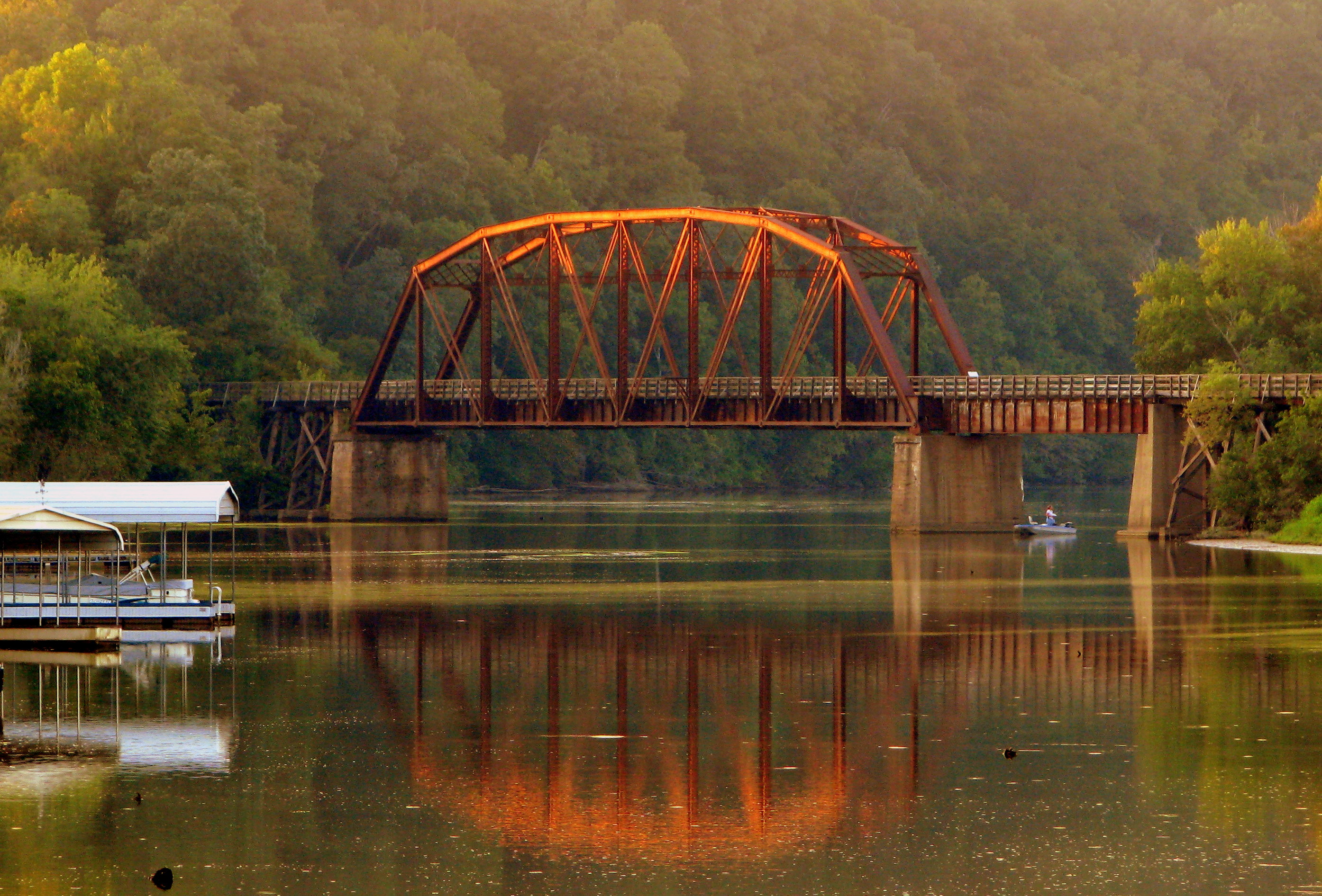
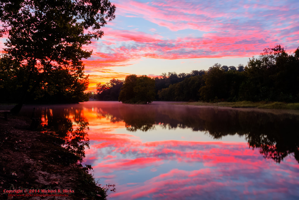
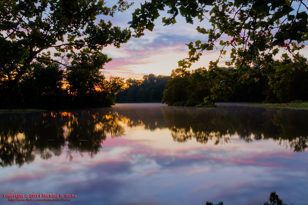
Cumberland River Bicentennial Trail Bridge near Sunset
Off the Beaten Path
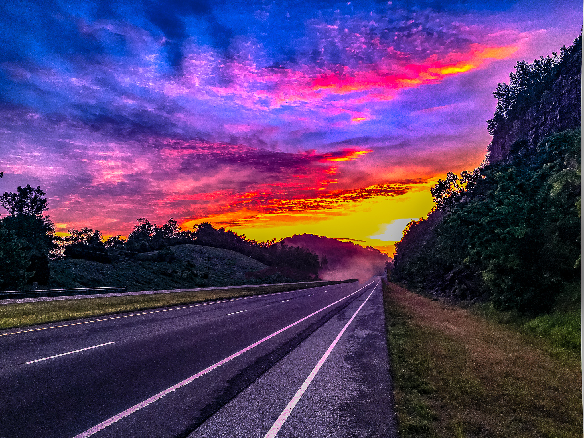
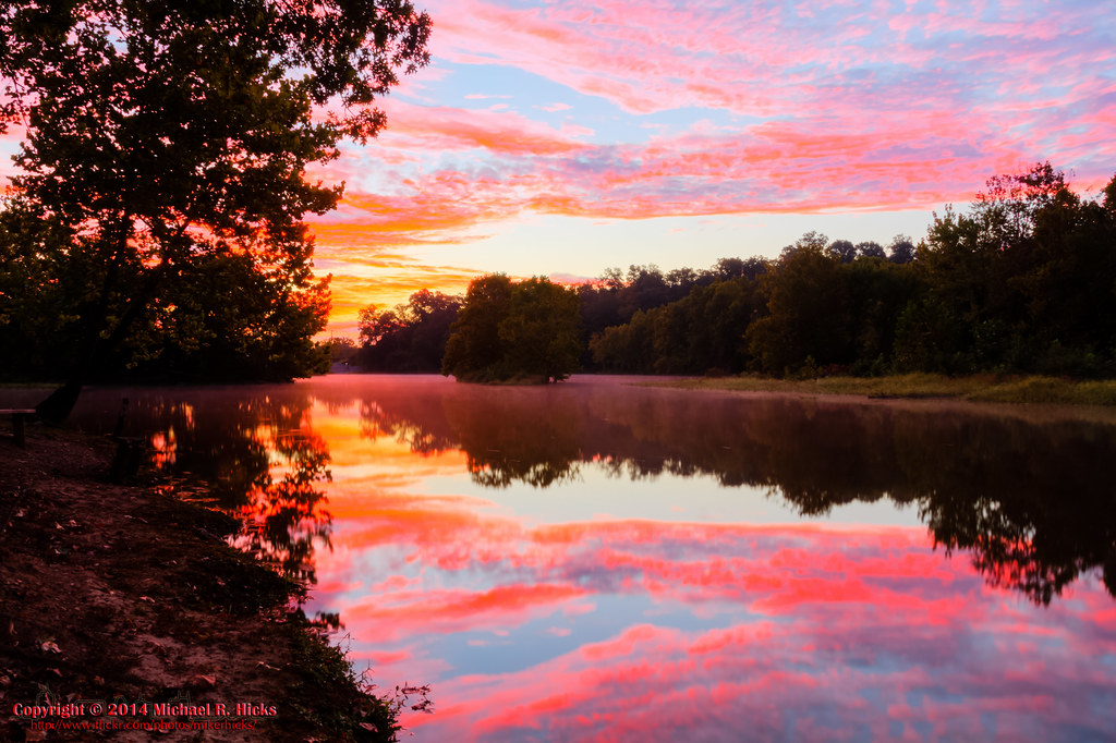
Fall Sunset at Beaman Park 2008
Beaman Park at Sunset

Sycamore Hills barn in the fog
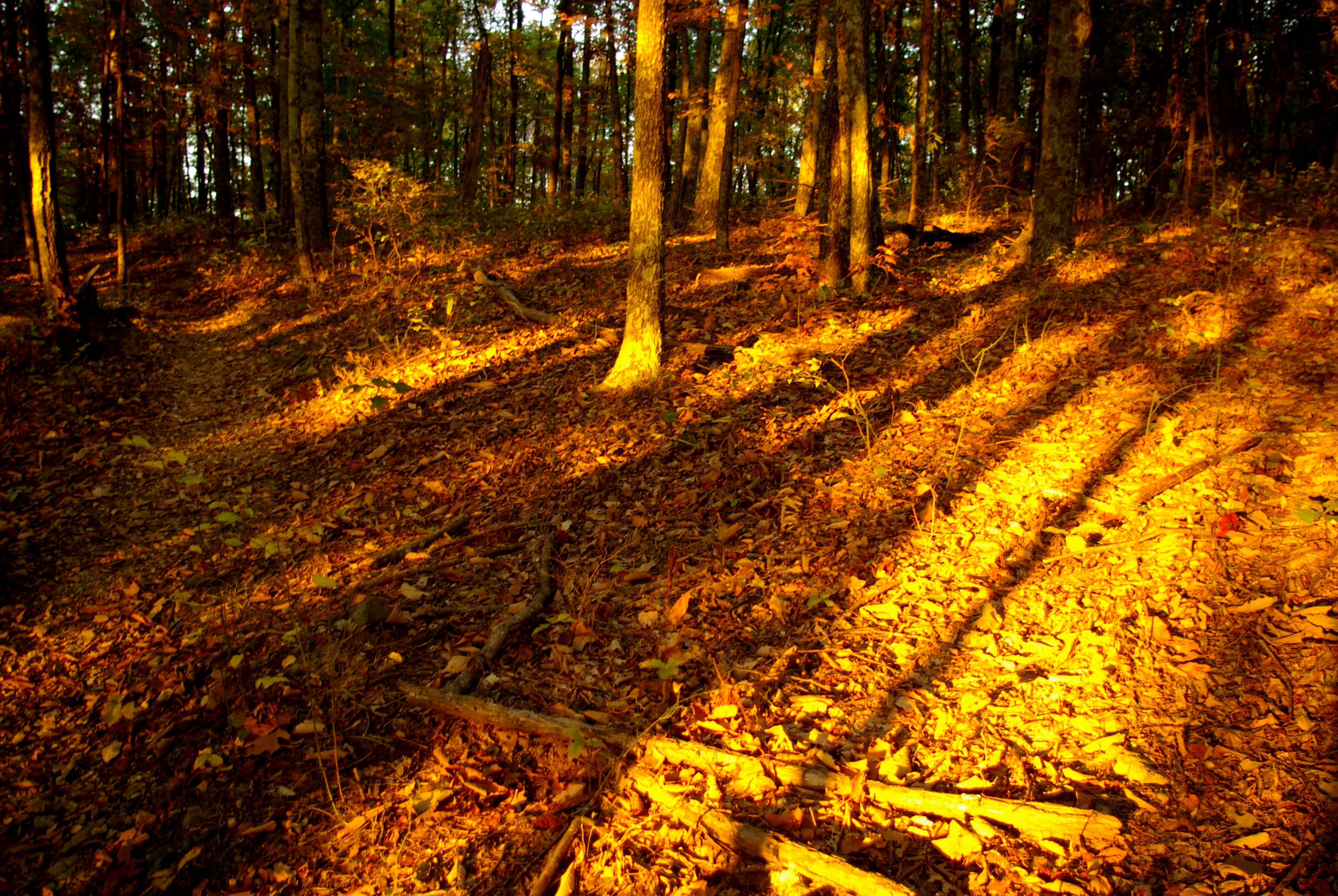
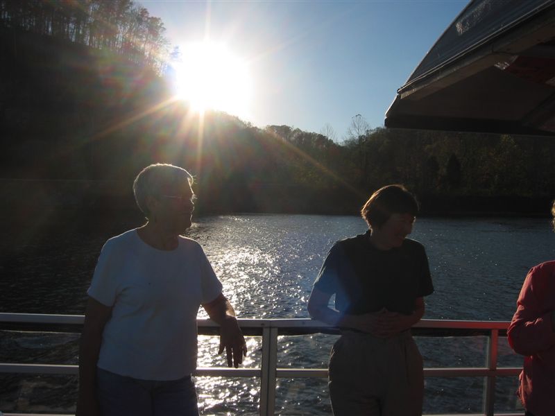
Sunrise - 3rd annual George McCabe Memorial Hike
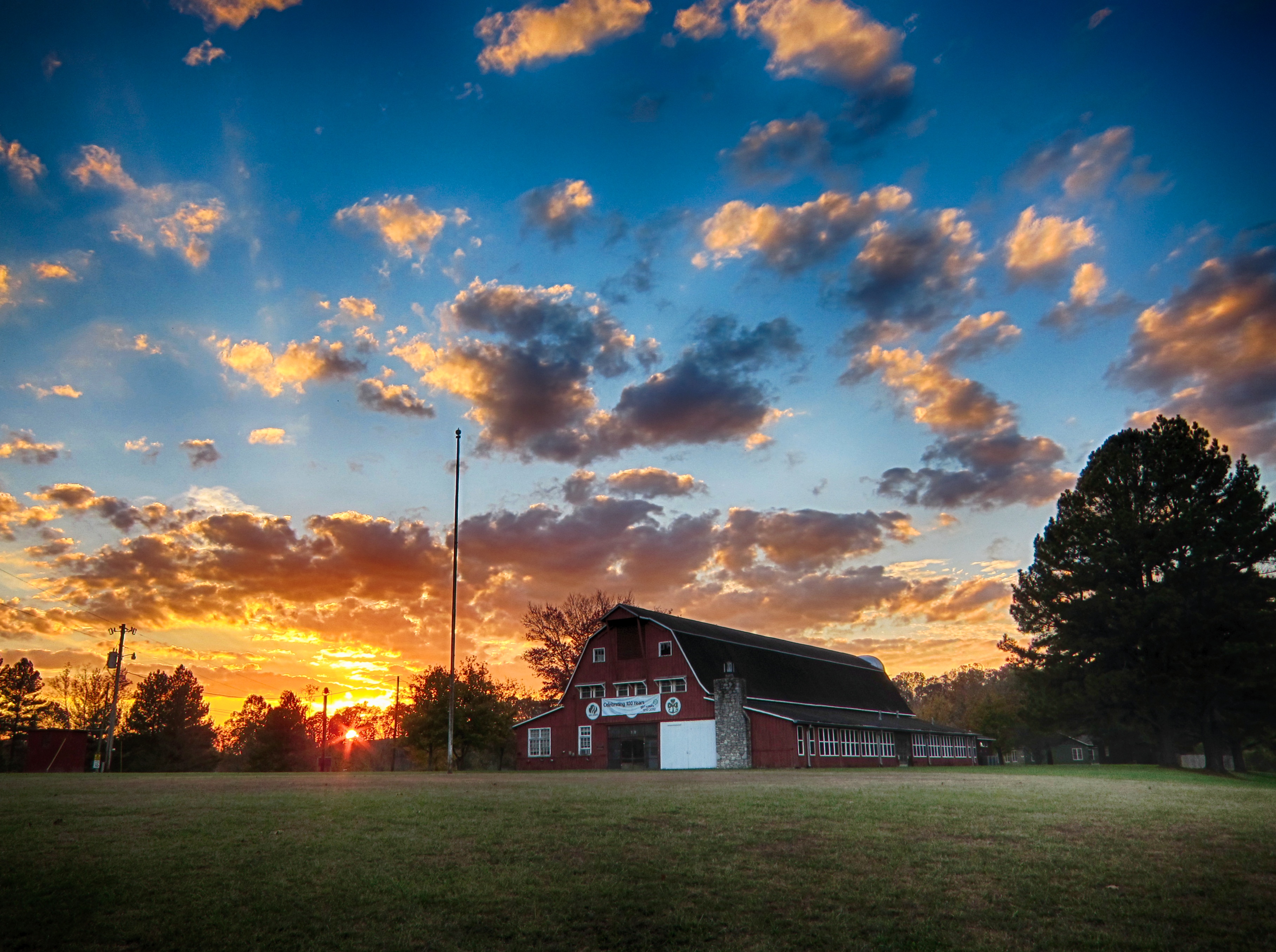
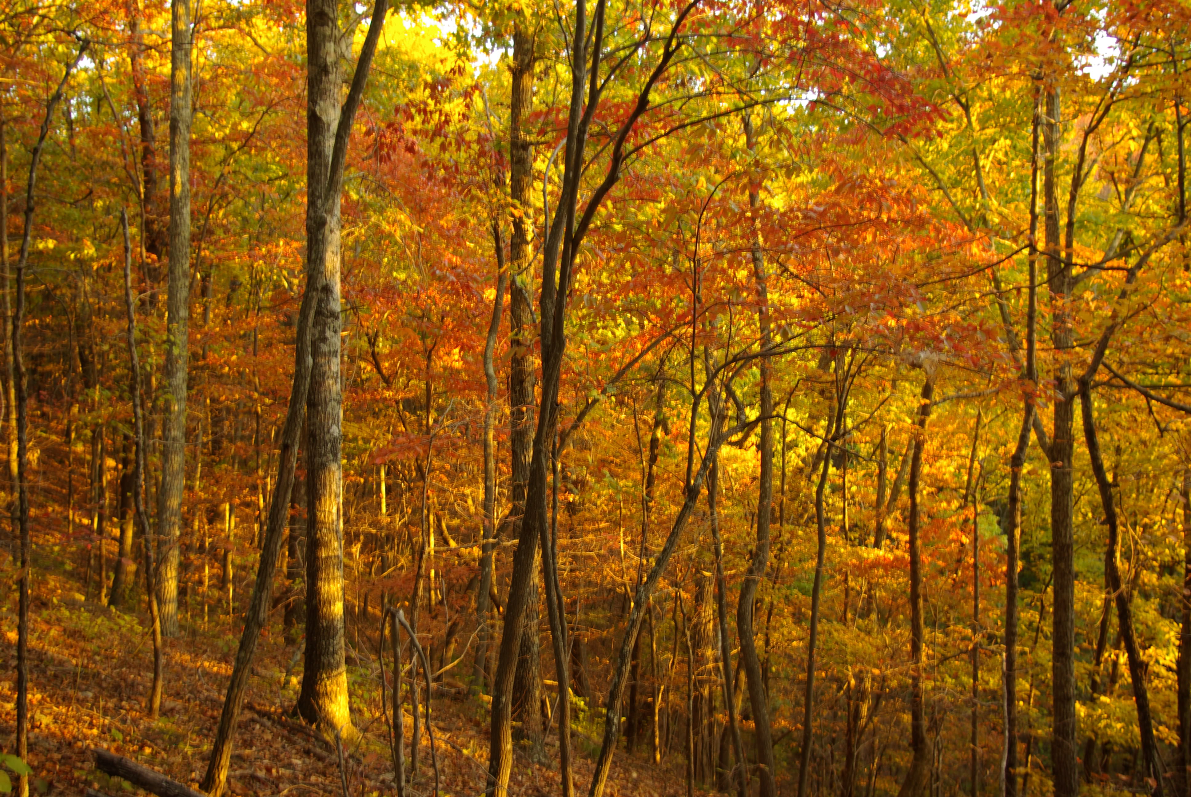
Sycamore Hills
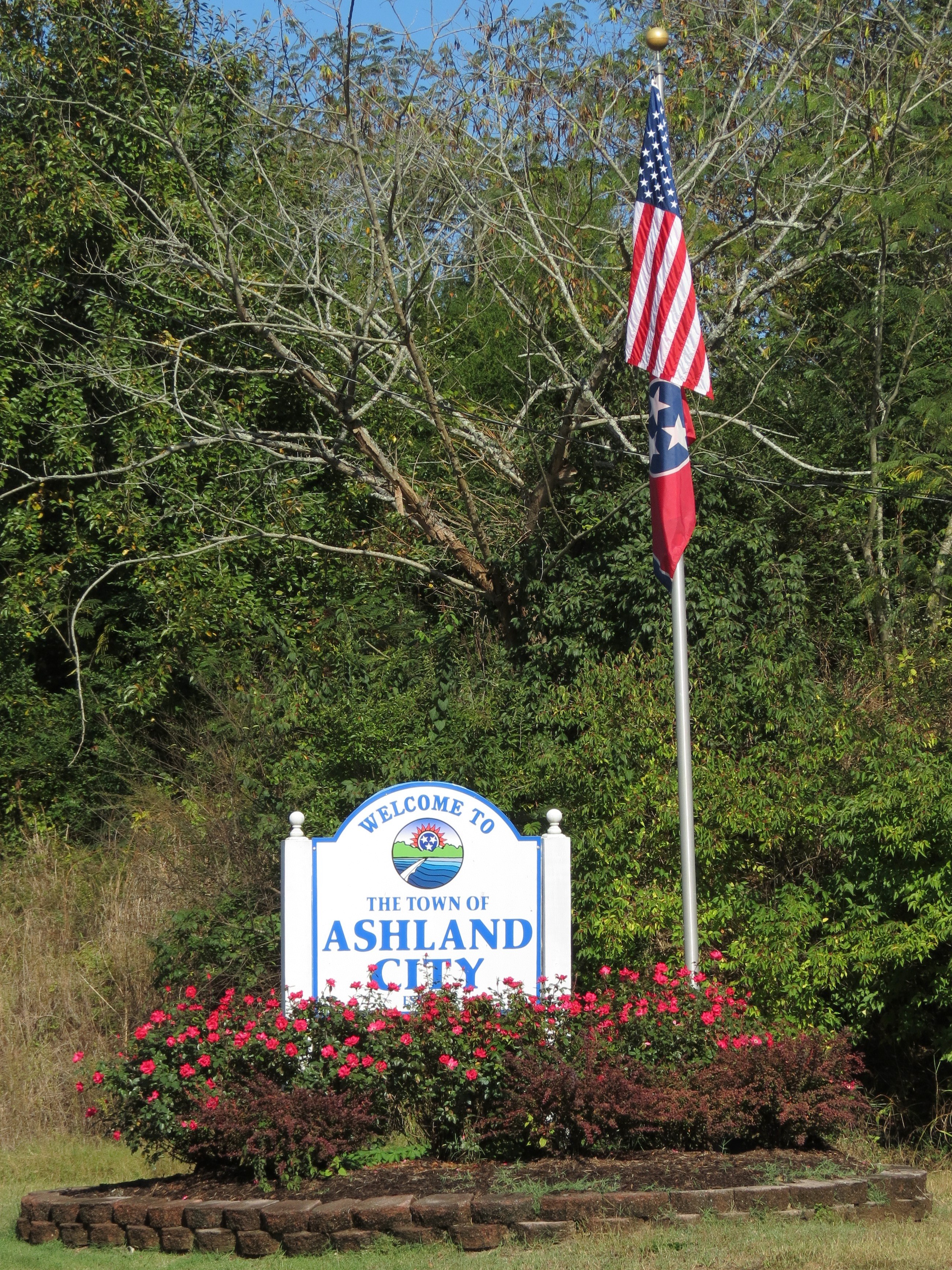
Welcome to Ashland City
Sunset over Lois
Sunrise - 3rd annual George McCabe Memorial Hike

Sunrise - 3rd annual George McCabe Memorial Hike
Sunrise - 3rd annual George McCabe Memorial Hike
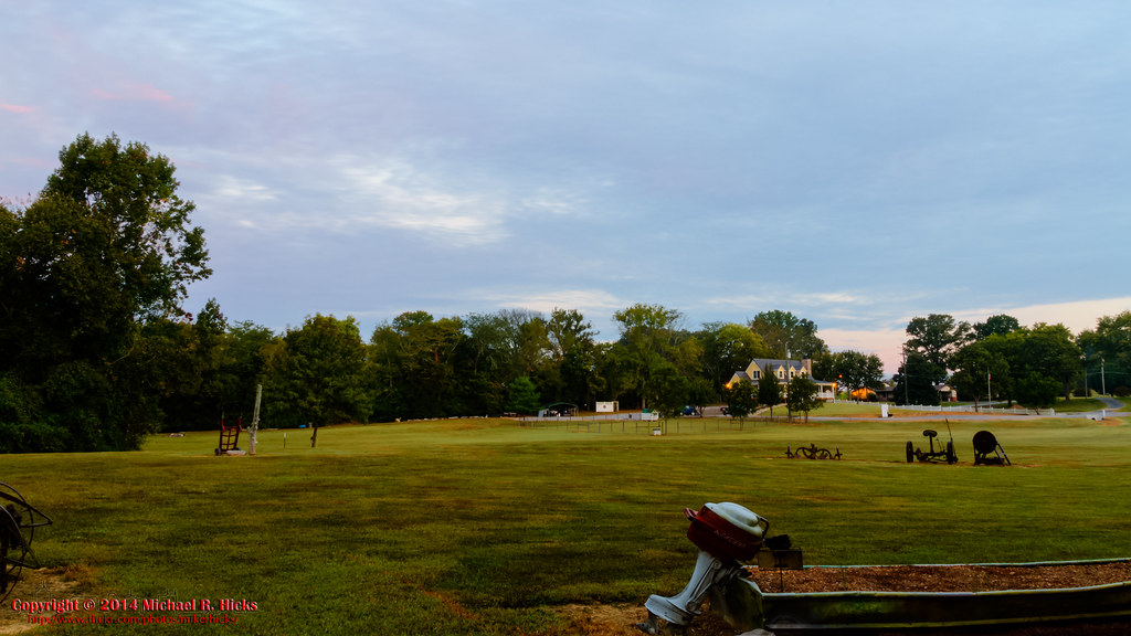
Sunrise - 3rd annual George McCabe Memorial Hike
Shoals Landing, Ashland City, TN, USA Karte
Suchen Sie einen anderen Ort
Nahe Plätze
N Vine St, Ashland City, TN, USA
Ashland Stadt, Tennessee, USA
Ed Harris Rd, Ashland City, TN, USA
Ed Harris Rd, Ashland City, TN, USA
Greenbrier Rd, Ashland City, TN, USA
Floy Ln, Ashland City, TN, USA
Sunrise Cir, Ashland City, TN, USA
Matlock Dr, Chapmansboro, TN, USA
River Rd, Ashland City, TN, USA
Noah Reeves Rd, Ashland City, TN, USA
Ben Collier Rd, Charlotte, TN, USA
Little Marrowbone Rd, Ashland City, TN, USA
Old Clarksville Pike, Ashland City, TN, USA
- Cheatham Dam Rd, Chapmansboro, TN, USA
TN-12, Ashland City, TN, USA
Chapmansboro, TN, USA
Abernathy Rd, Ashland City, TN, USA
Old Clarksville Pike, Ashland City, TN, USA
Old Clarksville Pike, Joelton, TN, USA
Mosley Ferry Rd, Chapmansboro, TN, USA
Letzte Suche
- Chesaw Rd, Oroville, WA, USA Sonnenaufgang Sonnenuntergang Zeiten
- N, Mt Pleasant, UT, USA Sonnenaufgang Sonnenuntergang Zeiten
- Kawanecho Sasamado, Shimada, Shizuoka -, Japan Sonnenaufgang Sonnenuntergang Zeiten
- 6 Rue Jules Ferry, Beausoleil, Frankreich Sonnenaufgang Sonnenuntergang Zeiten
- Otxandio, Biscay, Spain Sonnenaufgang Sonnenuntergang Zeiten
- Sattva Horizon, 4JC6+G9P, Vinayak Nagar, Kattigenahalli, Bengaluru, Karnataka, Indien Sonnenaufgang Sonnenuntergang Zeiten
- 富士山, Kitayama, Fujinomiya, Präfektur Shizuoka -, Japan Sonnenaufgang Sonnenuntergang Zeiten
- Laurel Rd, Townsend, TN, USA Sonnenaufgang Sonnenuntergang Zeiten
- Haibin South Road, China, Guang Dong Sheng, Shen Zhen Shi, Long Gang Qu, 海滨南路GFPQ+R9Q Sonnenaufgang Sonnenuntergang Zeiten
- Redondo Ave, Long Beach, CA, USA Sonnenaufgang Sonnenuntergang Zeiten