Shake Ridge Rd, Volcano, CA, USA Sonnenaufgang Sonnenuntergang Zeiten
Location: USA > Kalifornien > Amador County > Volcano >
Zeitzone:
America/Los_Angeles
Ortszeit:
2024-04-27 11:37:52
Länge:
-120.61139
Breite:
38.48467
Sonnenaufgang Heute:
06:07:34 AM
Sonnenuntergang Heute:
07:52:02 PM
Tageslänge heute:
13h 44m 28s
Sonnenaufgang morgen:
06:06:21 AM
Sonnenuntergang Morgen:
07:52:58 PM
Tageslänge von morgen:
13h 46m 37s
Alle Termine anzeigen
| Datum | Sonnenaufgang | Sonnenuntergang | Tageslänge |
|---|---|---|---|
| 2024-01-01 | 07:19:52 AM | 04:52:47 PM | 9h 32m 55s |
| 2024-01-02 | 07:19:58 AM | 04:53:36 PM | 9h 33m 38s |
| 2024-01-03 | 07:20:01 AM | 04:54:27 PM | 9h 34m 26s |
| 2024-01-04 | 07:20:03 AM | 04:55:20 PM | 9h 35m 17s |
| 2024-01-05 | 07:20:03 AM | 04:56:13 PM | 9h 36m 10s |
| 2024-01-06 | 07:20:00 AM | 04:57:08 PM | 9h 37m 8s |
| 2024-01-07 | 07:19:55 AM | 04:58:04 PM | 9h 38m 9s |
| 2024-01-08 | 07:19:49 AM | 04:59:01 PM | 9h 39m 12s |
| 2024-01-09 | 07:19:40 AM | 04:59:59 PM | 9h 40m 19s |
| 2024-01-10 | 07:19:29 AM | 05:00:58 PM | 9h 41m 29s |
| 2024-01-11 | 07:19:16 AM | 05:01:58 PM | 9h 42m 42s |
| 2024-01-12 | 07:19:00 AM | 05:02:59 PM | 9h 43m 59s |
| 2024-01-13 | 07:18:43 AM | 05:04:01 PM | 9h 45m 18s |
| 2024-01-14 | 07:18:24 AM | 05:05:04 PM | 9h 46m 40s |
| 2024-01-15 | 07:18:02 AM | 05:06:07 PM | 9h 48m 5s |
| 2024-01-16 | 07:17:39 AM | 05:07:11 PM | 9h 49m 32s |
| 2024-01-17 | 07:17:13 AM | 05:08:15 PM | 9h 51m 2s |
| 2024-01-18 | 07:16:46 AM | 05:09:20 PM | 9h 52m 34s |
| 2024-01-19 | 07:16:16 AM | 05:10:26 PM | 9h 54m 10s |
| 2024-01-20 | 07:15:45 AM | 05:11:32 PM | 9h 55m 47s |
| 2024-01-21 | 07:15:11 AM | 05:12:39 PM | 9h 57m 28s |
| 2024-01-22 | 07:14:36 AM | 05:13:46 PM | 9h 59m 10s |
| 2024-01-23 | 07:13:59 AM | 05:14:53 PM | 10h 0m 54s |
| 2024-01-24 | 07:13:20 AM | 05:16:00 PM | 10h 2m 40s |
| 2024-01-25 | 07:12:39 AM | 05:17:08 PM | 10h 4m 29s |
| 2024-01-26 | 07:11:56 AM | 05:18:16 PM | 10h 6m 20s |
| 2024-01-27 | 07:11:11 AM | 05:19:25 PM | 10h 8m 14s |
| 2024-01-28 | 07:10:25 AM | 05:20:33 PM | 10h 10m 8s |
| 2024-01-29 | 07:09:37 AM | 05:21:42 PM | 10h 12m 5s |
| 2024-01-30 | 07:08:47 AM | 05:22:50 PM | 10h 14m 3s |
| 2024-01-31 | 07:07:55 AM | 05:23:59 PM | 10h 16m 4s |
| 2024-02-01 | 07:07:02 AM | 05:25:07 PM | 10h 18m 5s |
| 2024-02-02 | 07:06:07 AM | 05:26:16 PM | 10h 20m 9s |
| 2024-02-03 | 07:05:11 AM | 05:27:25 PM | 10h 22m 14s |
| 2024-02-04 | 07:04:13 AM | 05:28:33 PM | 10h 24m 20s |
| 2024-02-05 | 07:03:14 AM | 05:29:41 PM | 10h 26m 27s |
| 2024-02-06 | 07:02:13 AM | 05:30:50 PM | 10h 28m 37s |
| 2024-02-07 | 07:01:10 AM | 05:31:58 PM | 10h 30m 48s |
| 2024-02-08 | 07:00:07 AM | 05:33:06 PM | 10h 32m 59s |
| 2024-02-09 | 06:59:01 AM | 05:34:14 PM | 10h 35m 13s |
| 2024-02-10 | 06:57:55 AM | 05:35:21 PM | 10h 37m 26s |
| 2024-02-11 | 06:56:47 AM | 05:36:29 PM | 10h 39m 42s |
| 2024-02-12 | 06:55:38 AM | 05:37:36 PM | 10h 41m 58s |
| 2024-02-13 | 06:54:28 AM | 05:38:43 PM | 10h 44m 15s |
| 2024-02-14 | 06:53:16 AM | 05:39:49 PM | 10h 46m 33s |
| 2024-02-15 | 06:52:03 AM | 05:40:56 PM | 10h 48m 53s |
| 2024-02-16 | 06:50:50 AM | 05:42:02 PM | 10h 51m 12s |
| 2024-02-17 | 06:49:35 AM | 05:43:08 PM | 10h 53m 33s |
| 2024-02-18 | 06:48:18 AM | 05:44:13 PM | 10h 55m 55s |
| 2024-02-19 | 06:47:01 AM | 05:45:19 PM | 10h 58m 18s |
| 2024-02-20 | 06:45:43 AM | 05:46:23 PM | 11h 0m 40s |
| 2024-02-21 | 06:44:24 AM | 05:47:28 PM | 11h 3m 4s |
| 2024-02-22 | 06:43:04 AM | 05:48:32 PM | 11h 5m 28s |
| 2024-02-23 | 06:41:43 AM | 05:49:36 PM | 11h 7m 53s |
| 2024-02-24 | 06:40:21 AM | 05:50:40 PM | 11h 10m 19s |
| 2024-02-25 | 06:38:59 AM | 05:51:43 PM | 11h 12m 44s |
| 2024-02-26 | 06:37:35 AM | 05:52:46 PM | 11h 15m 11s |
| 2024-02-27 | 06:36:11 AM | 05:53:49 PM | 11h 17m 38s |
| 2024-02-28 | 06:34:46 AM | 05:54:52 PM | 11h 20m 6s |
| 2024-02-29 | 06:33:20 AM | 05:55:54 PM | 11h 22m 34s |
| 2024-03-01 | 06:31:54 AM | 05:56:55 PM | 11h 25m 1s |
| 2024-03-02 | 06:30:27 AM | 05:57:57 PM | 11h 27m 30s |
| 2024-03-03 | 06:28:59 AM | 05:58:58 PM | 11h 29m 59s |
| 2024-03-04 | 06:27:31 AM | 05:59:59 PM | 11h 32m 28s |
| 2024-03-05 | 06:26:02 AM | 06:01:00 PM | 11h 34m 58s |
| 2024-03-06 | 06:24:33 AM | 06:02:00 PM | 11h 37m 27s |
| 2024-03-07 | 06:23:03 AM | 06:03:00 PM | 11h 39m 57s |
| 2024-03-08 | 06:21:33 AM | 06:04:00 PM | 11h 42m 27s |
| 2024-03-09 | 06:20:03 AM | 06:05:00 PM | 11h 44m 57s |
| 2024-03-10 | 07:18:35 AM | 07:05:57 PM | 11h 47m 22s |
| 2024-03-11 | 07:17:04 AM | 07:06:56 PM | 11h 49m 52s |
| 2024-03-12 | 07:15:32 AM | 07:07:55 PM | 11h 52m 23s |
| 2024-03-13 | 07:14:00 AM | 07:08:53 PM | 11h 54m 53s |
| 2024-03-14 | 07:12:28 AM | 07:09:52 PM | 11h 57m 24s |
| 2024-03-15 | 07:10:56 AM | 07:10:50 PM | 11h 59m 54s |
| 2024-03-16 | 07:09:23 AM | 07:11:48 PM | 12h 2m 25s |
| 2024-03-17 | 07:07:50 AM | 07:12:46 PM | 12h 4m 56s |
| 2024-03-18 | 07:06:17 AM | 07:13:44 PM | 12h 7m 27s |
| 2024-03-19 | 07:04:44 AM | 07:14:42 PM | 12h 9m 58s |
| 2024-03-20 | 07:03:11 AM | 07:15:39 PM | 12h 12m 28s |
| 2024-03-21 | 07:01:37 AM | 07:16:37 PM | 12h 15m 0s |
| 2024-03-22 | 07:00:04 AM | 07:17:34 PM | 12h 17m 30s |
| 2024-03-23 | 06:58:31 AM | 07:18:31 PM | 12h 20m 0s |
| 2024-03-24 | 06:56:57 AM | 07:19:28 PM | 12h 22m 31s |
| 2024-03-25 | 06:55:24 AM | 07:20:25 PM | 12h 25m 1s |
| 2024-03-26 | 06:53:51 AM | 07:21:22 PM | 12h 27m 31s |
| 2024-03-27 | 06:52:18 AM | 07:22:19 PM | 12h 30m 1s |
| 2024-03-28 | 06:50:45 AM | 07:23:16 PM | 12h 32m 31s |
| 2024-03-29 | 06:49:13 AM | 07:24:12 PM | 12h 34m 59s |
| 2024-03-30 | 06:47:40 AM | 07:25:09 PM | 12h 37m 29s |
| 2024-03-31 | 06:46:08 AM | 07:26:06 PM | 12h 39m 58s |
| 2024-04-01 | 06:44:36 AM | 07:27:02 PM | 12h 42m 26s |
| 2024-04-02 | 06:43:04 AM | 07:27:59 PM | 12h 44m 55s |
| 2024-04-03 | 06:41:33 AM | 07:28:56 PM | 12h 47m 23s |
| 2024-04-04 | 06:40:02 AM | 07:29:52 PM | 12h 49m 50s |
| 2024-04-05 | 06:38:32 AM | 07:30:49 PM | 12h 52m 17s |
| 2024-04-06 | 06:37:02 AM | 07:31:45 PM | 12h 54m 43s |
| 2024-04-07 | 06:35:32 AM | 07:32:42 PM | 12h 57m 10s |
| 2024-04-08 | 06:34:03 AM | 07:33:39 PM | 12h 59m 36s |
| 2024-04-09 | 06:32:34 AM | 07:34:35 PM | 13h 2m 1s |
| 2024-04-10 | 06:31:06 AM | 07:35:32 PM | 13h 4m 26s |
| 2024-04-11 | 06:29:39 AM | 07:36:29 PM | 13h 6m 50s |
| 2024-04-12 | 06:28:12 AM | 07:37:26 PM | 13h 9m 14s |
| 2024-04-13 | 06:26:46 AM | 07:38:22 PM | 13h 11m 36s |
| 2024-04-14 | 06:25:20 AM | 07:39:19 PM | 13h 13m 59s |
| 2024-04-15 | 06:23:55 AM | 07:40:16 PM | 13h 16m 21s |
| 2024-04-16 | 06:22:31 AM | 07:41:13 PM | 13h 18m 42s |
| 2024-04-17 | 06:21:07 AM | 07:42:10 PM | 13h 21m 3s |
| 2024-04-18 | 06:19:45 AM | 07:43:07 PM | 13h 23m 22s |
| 2024-04-19 | 06:18:23 AM | 07:44:04 PM | 13h 25m 41s |
| 2024-04-20 | 06:17:02 AM | 07:45:01 PM | 13h 27m 59s |
| 2024-04-21 | 06:15:42 AM | 07:45:58 PM | 13h 30m 16s |
| 2024-04-22 | 06:14:23 AM | 07:46:55 PM | 13h 32m 32s |
| 2024-04-23 | 06:13:04 AM | 07:47:52 PM | 13h 34m 48s |
| 2024-04-24 | 06:11:47 AM | 07:48:49 PM | 13h 37m 2s |
| 2024-04-25 | 06:10:31 AM | 07:49:46 PM | 13h 39m 15s |
| 2024-04-26 | 06:09:16 AM | 07:50:43 PM | 13h 41m 27s |
| 2024-04-27 | 06:08:01 AM | 07:51:40 PM | 13h 43m 39s |
| 2024-04-28 | 06:06:48 AM | 07:52:37 PM | 13h 45m 49s |
| 2024-04-29 | 06:05:36 AM | 07:53:34 PM | 13h 47m 58s |
| 2024-04-30 | 06:04:26 AM | 07:54:31 PM | 13h 50m 5s |
| 2024-05-01 | 06:03:16 AM | 07:55:27 PM | 13h 52m 11s |
| 2024-05-02 | 06:02:08 AM | 07:56:24 PM | 13h 54m 16s |
| 2024-05-03 | 06:01:00 AM | 07:57:20 PM | 13h 56m 20s |
| 2024-05-04 | 05:59:54 AM | 07:58:17 PM | 13h 58m 23s |
| 2024-05-05 | 05:58:50 AM | 07:59:13 PM | 14h 0m 23s |
| 2024-05-06 | 05:57:47 AM | 08:00:09 PM | 14h 2m 22s |
| 2024-05-07 | 05:56:45 AM | 08:01:04 PM | 14h 4m 19s |
| 2024-05-08 | 05:55:44 AM | 08:02:00 PM | 14h 6m 16s |
| 2024-05-09 | 05:54:45 AM | 08:02:55 PM | 14h 8m 10s |
| 2024-05-10 | 05:53:47 AM | 08:03:50 PM | 14h 10m 3s |
| 2024-05-11 | 05:52:51 AM | 08:04:44 PM | 14h 11m 53s |
| 2024-05-12 | 05:51:56 AM | 08:05:39 PM | 14h 13m 43s |
| 2024-05-13 | 05:51:03 AM | 08:06:33 PM | 14h 15m 30s |
| 2024-05-14 | 05:50:11 AM | 08:07:26 PM | 14h 17m 15s |
| 2024-05-15 | 05:49:21 AM | 08:08:19 PM | 14h 18m 58s |
| 2024-05-16 | 05:48:33 AM | 08:09:11 PM | 14h 20m 38s |
| 2024-05-17 | 05:47:46 AM | 08:10:04 PM | 14h 22m 18s |
| 2024-05-18 | 05:47:01 AM | 08:10:55 PM | 14h 23m 54s |
| 2024-05-19 | 05:46:17 AM | 08:11:46 PM | 14h 25m 29s |
| 2024-05-20 | 05:45:35 AM | 08:12:36 PM | 14h 27m 1s |
| 2024-05-21 | 05:44:55 AM | 08:13:26 PM | 14h 28m 31s |
| 2024-05-22 | 05:44:16 AM | 08:14:15 PM | 14h 29m 59s |
| 2024-05-23 | 05:43:39 AM | 08:15:03 PM | 14h 31m 24s |
| 2024-05-24 | 05:43:04 AM | 08:15:51 PM | 14h 32m 47s |
| 2024-05-25 | 05:42:31 AM | 08:16:37 PM | 14h 34m 6s |
| 2024-05-26 | 05:42:00 AM | 08:17:23 PM | 14h 35m 23s |
| 2024-05-27 | 05:41:30 AM | 08:18:08 PM | 14h 36m 38s |
| 2024-05-28 | 05:41:02 AM | 08:18:52 PM | 14h 37m 50s |
| 2024-05-29 | 05:40:36 AM | 08:19:35 PM | 14h 38m 59s |
| 2024-05-30 | 05:40:12 AM | 08:20:17 PM | 14h 40m 5s |
| 2024-05-31 | 05:39:49 AM | 08:20:58 PM | 14h 41m 9s |
| 2024-06-01 | 05:39:29 AM | 08:21:38 PM | 14h 42m 9s |
| 2024-06-02 | 05:39:10 AM | 08:22:17 PM | 14h 43m 7s |
| 2024-06-03 | 05:38:53 AM | 08:22:55 PM | 14h 44m 2s |
| 2024-06-04 | 05:38:38 AM | 08:23:31 PM | 14h 44m 53s |
| 2024-06-05 | 05:38:25 AM | 08:24:07 PM | 14h 45m 42s |
| 2024-06-06 | 05:38:13 AM | 08:24:41 PM | 14h 46m 28s |
| 2024-06-07 | 05:38:04 AM | 08:25:13 PM | 14h 47m 9s |
| 2024-06-08 | 05:37:56 AM | 08:25:45 PM | 14h 47m 49s |
| 2024-06-09 | 05:37:50 AM | 08:26:15 PM | 14h 48m 25s |
| 2024-06-10 | 05:37:46 AM | 08:26:43 PM | 14h 48m 57s |
| 2024-06-11 | 05:37:44 AM | 08:27:10 PM | 14h 49m 26s |
| 2024-06-12 | 05:37:44 AM | 08:27:36 PM | 14h 49m 52s |
| 2024-06-13 | 05:37:45 AM | 08:28:00 PM | 14h 50m 15s |
| 2024-06-14 | 05:37:48 AM | 08:28:23 PM | 14h 50m 35s |
| 2024-06-15 | 05:37:53 AM | 08:28:44 PM | 14h 50m 51s |
| 2024-06-16 | 05:38:00 AM | 08:29:03 PM | 14h 51m 3s |
| 2024-06-17 | 05:38:08 AM | 08:29:21 PM | 14h 51m 13s |
| 2024-06-18 | 05:38:18 AM | 08:29:37 PM | 14h 51m 19s |
| 2024-06-19 | 05:38:30 AM | 08:29:51 PM | 14h 51m 21s |
| 2024-06-20 | 05:38:44 AM | 08:30:04 PM | 14h 51m 20s |
| 2024-06-21 | 05:38:59 AM | 08:30:14 PM | 14h 51m 15s |
| 2024-06-22 | 05:39:16 AM | 08:30:23 PM | 14h 51m 7s |
| 2024-06-23 | 05:39:34 AM | 08:30:31 PM | 14h 50m 57s |
| 2024-06-24 | 05:39:54 AM | 08:30:36 PM | 14h 50m 42s |
| 2024-06-25 | 05:40:15 AM | 08:30:40 PM | 14h 50m 25s |
| 2024-06-26 | 05:40:38 AM | 08:30:42 PM | 14h 50m 4s |
| 2024-06-27 | 05:41:03 AM | 08:30:42 PM | 14h 49m 39s |
| 2024-06-28 | 05:41:29 AM | 08:30:40 PM | 14h 49m 11s |
| 2024-06-29 | 05:41:56 AM | 08:30:36 PM | 14h 48m 40s |
| 2024-06-30 | 05:42:24 AM | 08:30:31 PM | 14h 48m 7s |
| 2024-07-01 | 05:42:54 AM | 08:30:23 PM | 14h 47m 29s |
| 2024-07-02 | 05:43:26 AM | 08:30:14 PM | 14h 46m 48s |
| 2024-07-03 | 05:43:58 AM | 08:30:03 PM | 14h 46m 5s |
| 2024-07-04 | 05:44:32 AM | 08:29:49 PM | 14h 45m 17s |
| 2024-07-05 | 05:45:07 AM | 08:29:34 PM | 14h 44m 27s |
| 2024-07-06 | 05:45:43 AM | 08:29:18 PM | 14h 43m 35s |
| 2024-07-07 | 05:46:20 AM | 08:28:59 PM | 14h 42m 39s |
| 2024-07-08 | 05:46:58 AM | 08:28:38 PM | 14h 41m 40s |
| 2024-07-09 | 05:47:37 AM | 08:28:15 PM | 14h 40m 38s |
| 2024-07-10 | 05:48:17 AM | 08:27:51 PM | 14h 39m 34s |
| 2024-07-11 | 05:48:58 AM | 08:27:25 PM | 14h 38m 27s |
| 2024-07-12 | 05:49:40 AM | 08:26:57 PM | 14h 37m 17s |
| 2024-07-13 | 05:50:23 AM | 08:26:27 PM | 14h 36m 4s |
| 2024-07-14 | 05:51:07 AM | 08:25:55 PM | 14h 34m 48s |
| 2024-07-15 | 05:51:51 AM | 08:25:21 PM | 14h 33m 30s |
| 2024-07-16 | 05:52:36 AM | 08:24:46 PM | 14h 32m 10s |
| 2024-07-17 | 05:53:22 AM | 08:24:09 PM | 14h 30m 47s |
| 2024-07-18 | 05:54:09 AM | 08:23:30 PM | 14h 29m 21s |
| 2024-07-19 | 05:54:56 AM | 08:22:49 PM | 14h 27m 53s |
| 2024-07-20 | 05:55:44 AM | 08:22:06 PM | 14h 26m 22s |
| 2024-07-21 | 05:56:32 AM | 08:21:22 PM | 14h 24m 50s |
| 2024-07-22 | 05:57:21 AM | 08:20:36 PM | 14h 23m 15s |
| 2024-07-23 | 05:58:10 AM | 08:19:49 PM | 14h 21m 39s |
| 2024-07-24 | 05:59:00 AM | 08:19:00 PM | 14h 20m 0s |
| 2024-07-25 | 05:59:50 AM | 08:18:09 PM | 14h 18m 19s |
| 2024-07-26 | 06:00:41 AM | 08:17:17 PM | 14h 16m 36s |
| 2024-07-27 | 06:01:32 AM | 08:16:23 PM | 14h 14m 51s |
| 2024-07-28 | 06:02:23 AM | 08:15:27 PM | 14h 13m 4s |
| 2024-07-29 | 06:03:15 AM | 08:14:30 PM | 14h 11m 15s |
| 2024-07-30 | 06:04:06 AM | 08:13:32 PM | 14h 9m 26s |
| 2024-07-31 | 06:04:59 AM | 08:12:32 PM | 14h 7m 33s |
| 2024-08-01 | 06:05:51 AM | 08:11:31 PM | 14h 5m 40s |
| 2024-08-02 | 06:06:43 AM | 08:10:28 PM | 14h 3m 45s |
| 2024-08-03 | 06:07:36 AM | 08:09:24 PM | 14h 1m 48s |
| 2024-08-04 | 06:08:29 AM | 08:08:18 PM | 13h 59m 49s |
| 2024-08-05 | 06:09:22 AM | 08:07:11 PM | 13h 57m 49s |
| 2024-08-06 | 06:10:15 AM | 08:06:03 PM | 13h 55m 48s |
| 2024-08-07 | 06:11:08 AM | 08:04:54 PM | 13h 53m 46s |
| 2024-08-08 | 06:12:02 AM | 08:03:43 PM | 13h 51m 41s |
| 2024-08-09 | 06:12:55 AM | 08:02:32 PM | 13h 49m 37s |
| 2024-08-10 | 06:13:48 AM | 08:01:19 PM | 13h 47m 31s |
| 2024-08-11 | 06:14:42 AM | 08:00:04 PM | 13h 45m 22s |
| 2024-08-12 | 06:15:35 AM | 07:58:49 PM | 13h 43m 14s |
| 2024-08-13 | 06:16:28 AM | 07:57:33 PM | 13h 41m 5s |
| 2024-08-14 | 06:17:22 AM | 07:56:15 PM | 13h 38m 53s |
| 2024-08-15 | 06:18:15 AM | 07:54:57 PM | 13h 36m 42s |
| 2024-08-16 | 06:19:09 AM | 07:53:38 PM | 13h 34m 29s |
| 2024-08-17 | 06:20:02 AM | 07:52:17 PM | 13h 32m 15s |
| 2024-08-18 | 06:20:55 AM | 07:50:56 PM | 13h 30m 1s |
| 2024-08-19 | 06:21:48 AM | 07:49:34 PM | 13h 27m 46s |
| 2024-08-20 | 06:22:42 AM | 07:48:11 PM | 13h 25m 29s |
| 2024-08-21 | 06:23:35 AM | 07:46:47 PM | 13h 23m 12s |
| 2024-08-22 | 06:24:28 AM | 07:45:22 PM | 13h 20m 54s |
| 2024-08-23 | 06:25:21 AM | 07:43:56 PM | 13h 18m 35s |
| 2024-08-24 | 06:26:14 AM | 07:42:30 PM | 13h 16m 16s |
| 2024-08-25 | 06:27:06 AM | 07:41:03 PM | 13h 13m 57s |
| 2024-08-26 | 06:27:59 AM | 07:39:35 PM | 13h 11m 36s |
| 2024-08-27 | 06:28:52 AM | 07:38:07 PM | 13h 9m 15s |
| 2024-08-28 | 06:29:44 AM | 07:36:38 PM | 13h 6m 54s |
| 2024-08-29 | 06:30:37 AM | 07:35:08 PM | 13h 4m 31s |
| 2024-08-30 | 06:31:30 AM | 07:33:38 PM | 13h 2m 8s |
| 2024-08-31 | 06:32:22 AM | 07:32:07 PM | 12h 59m 45s |
| 2024-09-01 | 06:33:14 AM | 07:30:36 PM | 12h 57m 22s |
| 2024-09-02 | 06:34:07 AM | 07:29:04 PM | 12h 54m 57s |
| 2024-09-03 | 06:34:59 AM | 07:27:32 PM | 12h 52m 33s |
| 2024-09-04 | 06:35:51 AM | 07:26:00 PM | 12h 50m 9s |
| 2024-09-05 | 06:36:44 AM | 07:24:27 PM | 12h 47m 43s |
| 2024-09-06 | 06:37:36 AM | 07:22:53 PM | 12h 45m 17s |
| 2024-09-07 | 06:38:28 AM | 07:21:19 PM | 12h 42m 51s |
| 2024-09-08 | 06:39:20 AM | 07:19:45 PM | 12h 40m 25s |
| 2024-09-09 | 06:40:13 AM | 07:18:11 PM | 12h 37m 58s |
| 2024-09-10 | 06:41:05 AM | 07:16:37 PM | 12h 35m 32s |
| 2024-09-11 | 06:41:57 AM | 07:15:02 PM | 12h 33m 5s |
| 2024-09-12 | 06:42:49 AM | 07:13:27 PM | 12h 30m 38s |
| 2024-09-13 | 06:43:42 AM | 07:11:52 PM | 12h 28m 10s |
| 2024-09-14 | 06:44:34 AM | 07:10:16 PM | 12h 25m 42s |
| 2024-09-15 | 06:45:27 AM | 07:08:41 PM | 12h 23m 14s |
| 2024-09-16 | 06:46:19 AM | 07:07:06 PM | 12h 20m 47s |
| 2024-09-17 | 06:47:12 AM | 07:05:30 PM | 12h 18m 18s |
| 2024-09-18 | 06:48:05 AM | 07:03:55 PM | 12h 15m 50s |
| 2024-09-19 | 06:48:57 AM | 07:02:19 PM | 12h 13m 22s |
| 2024-09-20 | 06:49:50 AM | 07:00:44 PM | 12h 10m 54s |
| 2024-09-21 | 06:50:43 AM | 06:59:08 PM | 12h 8m 25s |
| 2024-09-22 | 06:51:37 AM | 06:57:33 PM | 12h 5m 56s |
| 2024-09-23 | 06:52:30 AM | 06:55:58 PM | 12h 3m 28s |
| 2024-09-24 | 06:53:24 AM | 06:54:23 PM | 12h 0m 59s |
| 2024-09-25 | 06:54:17 AM | 06:52:48 PM | 11h 58m 31s |
| 2024-09-26 | 06:55:11 AM | 06:51:14 PM | 11h 56m 3s |
| 2024-09-27 | 06:56:05 AM | 06:49:39 PM | 11h 53m 34s |
| 2024-09-28 | 06:57:00 AM | 06:48:05 PM | 11h 51m 5s |
| 2024-09-29 | 06:57:54 AM | 06:46:31 PM | 11h 48m 37s |
| 2024-09-30 | 06:58:49 AM | 06:44:58 PM | 11h 46m 9s |
| 2024-10-01 | 06:59:44 AM | 06:43:25 PM | 11h 43m 41s |
| 2024-10-02 | 07:00:39 AM | 06:41:52 PM | 11h 41m 13s |
| 2024-10-03 | 07:01:35 AM | 06:40:20 PM | 11h 38m 45s |
| 2024-10-04 | 07:02:31 AM | 06:38:48 PM | 11h 36m 17s |
| 2024-10-05 | 07:03:27 AM | 06:37:17 PM | 11h 33m 50s |
| 2024-10-06 | 07:04:23 AM | 06:35:47 PM | 11h 31m 24s |
| 2024-10-07 | 07:05:20 AM | 06:34:16 PM | 11h 28m 56s |
| 2024-10-08 | 07:06:17 AM | 06:32:47 PM | 11h 26m 30s |
| 2024-10-09 | 07:07:14 AM | 06:31:18 PM | 11h 24m 4s |
| 2024-10-10 | 07:08:12 AM | 06:29:50 PM | 11h 21m 38s |
| 2024-10-11 | 07:09:10 AM | 06:28:22 PM | 11h 19m 12s |
| 2024-10-12 | 07:10:08 AM | 06:26:55 PM | 11h 16m 47s |
| 2024-10-13 | 07:11:06 AM | 06:25:29 PM | 11h 14m 23s |
| 2024-10-14 | 07:12:05 AM | 06:24:04 PM | 11h 11m 59s |
| 2024-10-15 | 07:13:05 AM | 06:22:39 PM | 11h 9m 34s |
| 2024-10-16 | 07:14:04 AM | 06:21:15 PM | 11h 7m 11s |
| 2024-10-17 | 07:15:04 AM | 06:19:52 PM | 11h 4m 48s |
| 2024-10-18 | 07:16:04 AM | 06:18:31 PM | 11h 2m 27s |
| 2024-10-19 | 07:17:05 AM | 06:17:10 PM | 11h 0m 5s |
| 2024-10-20 | 07:18:06 AM | 06:15:50 PM | 10h 57m 44s |
| 2024-10-21 | 07:19:07 AM | 06:14:31 PM | 10h 55m 24s |
| 2024-10-22 | 07:20:09 AM | 06:13:13 PM | 10h 53m 4s |
| 2024-10-23 | 07:21:11 AM | 06:11:56 PM | 10h 50m 45s |
| 2024-10-24 | 07:22:13 AM | 06:10:40 PM | 10h 48m 27s |
| 2024-10-25 | 07:23:16 AM | 06:09:25 PM | 10h 46m 9s |
| 2024-10-26 | 07:24:18 AM | 06:08:12 PM | 10h 43m 54s |
| 2024-10-27 | 07:25:22 AM | 06:07:00 PM | 10h 41m 38s |
| 2024-10-28 | 07:26:25 AM | 06:05:49 PM | 10h 39m 24s |
| 2024-10-29 | 07:27:29 AM | 06:04:39 PM | 10h 37m 10s |
| 2024-10-30 | 07:28:33 AM | 06:03:31 PM | 10h 34m 58s |
| 2024-10-31 | 07:29:37 AM | 06:02:24 PM | 10h 32m 47s |
| 2024-11-01 | 07:30:42 AM | 06:01:18 PM | 10h 30m 36s |
| 2024-11-02 | 07:31:46 AM | 06:00:14 PM | 10h 28m 28s |
| 2024-11-03 | 06:32:54 AM | 04:59:08 PM | 10h 26m 14s |
| 2024-11-04 | 06:33:59 AM | 04:58:07 PM | 10h 24m 8s |
| 2024-11-05 | 06:35:04 AM | 04:57:07 PM | 10h 22m 3s |
| 2024-11-06 | 06:36:09 AM | 04:56:09 PM | 10h 20m 0s |
| 2024-11-07 | 06:37:15 AM | 04:55:13 PM | 10h 17m 58s |
| 2024-11-08 | 06:38:20 AM | 04:54:18 PM | 10h 15m 58s |
| 2024-11-09 | 06:39:26 AM | 04:53:24 PM | 10h 13m 58s |
| 2024-11-10 | 06:40:31 AM | 04:52:33 PM | 10h 12m 2s |
| 2024-11-11 | 06:41:37 AM | 04:51:43 PM | 10h 10m 6s |
| 2024-11-12 | 06:42:42 AM | 04:50:55 PM | 10h 8m 13s |
| 2024-11-13 | 06:43:48 AM | 04:50:08 PM | 10h 6m 20s |
| 2024-11-14 | 06:44:53 AM | 04:49:24 PM | 10h 4m 31s |
| 2024-11-15 | 06:45:58 AM | 04:48:41 PM | 10h 2m 43s |
| 2024-11-16 | 06:47:03 AM | 04:48:00 PM | 10h 0m 57s |
| 2024-11-17 | 06:48:08 AM | 04:47:21 PM | 9h 59m 13s |
| 2024-11-18 | 06:49:12 AM | 04:46:44 PM | 9h 57m 32s |
| 2024-11-19 | 06:50:17 AM | 04:46:09 PM | 9h 55m 52s |
| 2024-11-20 | 06:51:20 AM | 04:45:36 PM | 9h 54m 16s |
| 2024-11-21 | 06:52:24 AM | 04:45:04 PM | 9h 52m 40s |
| 2024-11-22 | 06:53:27 AM | 04:44:35 PM | 9h 51m 8s |
| 2024-11-23 | 06:54:29 AM | 04:44:08 PM | 9h 49m 39s |
| 2024-11-24 | 06:55:31 AM | 04:43:43 PM | 9h 48m 12s |
| 2024-11-25 | 06:56:32 AM | 04:43:20 PM | 9h 46m 48s |
| 2024-11-26 | 06:57:33 AM | 04:42:59 PM | 9h 45m 26s |
| 2024-11-27 | 06:58:33 AM | 04:42:40 PM | 9h 44m 7s |
| 2024-11-28 | 06:59:32 AM | 04:42:23 PM | 9h 42m 51s |
| 2024-11-29 | 07:00:31 AM | 04:42:09 PM | 9h 41m 38s |
| 2024-11-30 | 07:01:28 AM | 04:41:56 PM | 9h 40m 28s |
| 2024-12-01 | 07:02:25 AM | 04:41:46 PM | 9h 39m 21s |
| 2024-12-02 | 07:03:21 AM | 04:41:38 PM | 9h 38m 17s |
| 2024-12-03 | 07:04:16 AM | 04:41:32 PM | 9h 37m 16s |
| 2024-12-04 | 07:05:09 AM | 04:41:28 PM | 9h 36m 19s |
| 2024-12-05 | 07:06:02 AM | 04:41:26 PM | 9h 35m 24s |
| 2024-12-06 | 07:06:54 AM | 04:41:27 PM | 9h 34m 33s |
| 2024-12-07 | 07:07:44 AM | 04:41:29 PM | 9h 33m 45s |
| 2024-12-08 | 07:08:33 AM | 04:41:34 PM | 9h 33m 1s |
| 2024-12-09 | 07:09:20 AM | 04:41:41 PM | 9h 32m 21s |
| 2024-12-10 | 07:10:07 AM | 04:41:50 PM | 9h 31m 43s |
| 2024-12-11 | 07:10:52 AM | 04:42:01 PM | 9h 31m 9s |
| 2024-12-12 | 07:11:35 AM | 04:42:15 PM | 9h 30m 40s |
| 2024-12-13 | 07:12:17 AM | 04:42:30 PM | 9h 30m 13s |
| 2024-12-14 | 07:12:58 AM | 04:42:48 PM | 9h 29m 50s |
| 2024-12-15 | 07:13:36 AM | 04:43:07 PM | 9h 29m 31s |
| 2024-12-16 | 07:14:14 AM | 04:43:29 PM | 9h 29m 15s |
| 2024-12-17 | 07:14:49 AM | 04:43:52 PM | 9h 29m 3s |
| 2024-12-18 | 07:15:23 AM | 04:44:18 PM | 9h 28m 55s |
| 2024-12-19 | 07:15:55 AM | 04:44:45 PM | 9h 28m 50s |
| 2024-12-20 | 07:16:25 AM | 04:45:15 PM | 9h 28m 50s |
| 2024-12-21 | 07:16:53 AM | 04:45:46 PM | 9h 28m 53s |
| 2024-12-22 | 07:17:20 AM | 04:46:19 PM | 9h 28m 59s |
| 2024-12-23 | 07:17:44 AM | 04:46:54 PM | 9h 29m 10s |
| 2024-12-24 | 07:18:07 AM | 04:47:31 PM | 9h 29m 24s |
| 2024-12-25 | 07:18:28 AM | 04:48:10 PM | 9h 29m 42s |
| 2024-12-26 | 07:18:47 AM | 04:48:50 PM | 9h 30m 3s |
| 2024-12-27 | 07:19:03 AM | 04:49:32 PM | 9h 30m 29s |
| 2024-12-28 | 07:19:18 AM | 04:50:15 PM | 9h 30m 57s |
| 2024-12-29 | 07:19:31 AM | 04:51:00 PM | 9h 31m 29s |
| 2024-12-30 | 07:19:41 AM | 04:51:47 PM | 9h 32m 6s |
Fotos
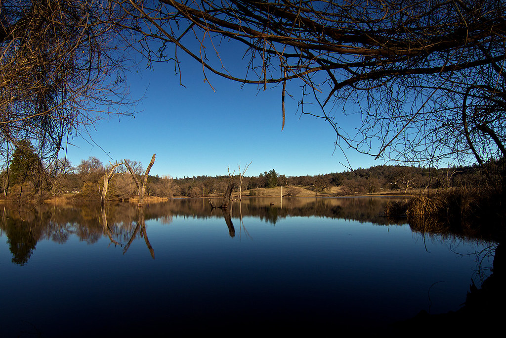
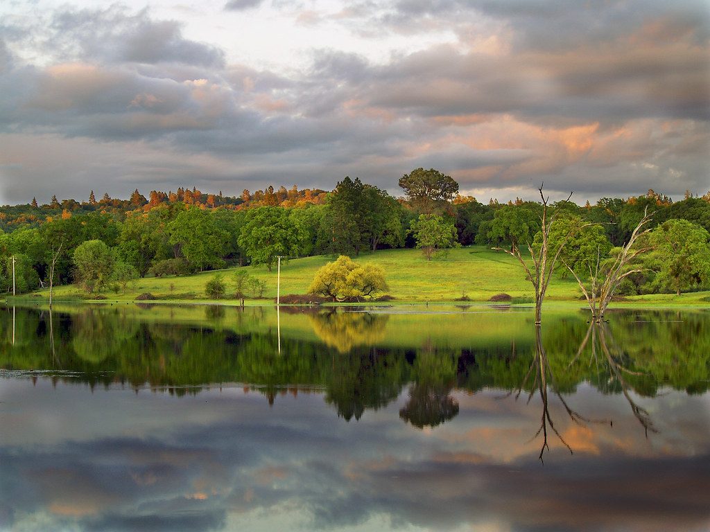
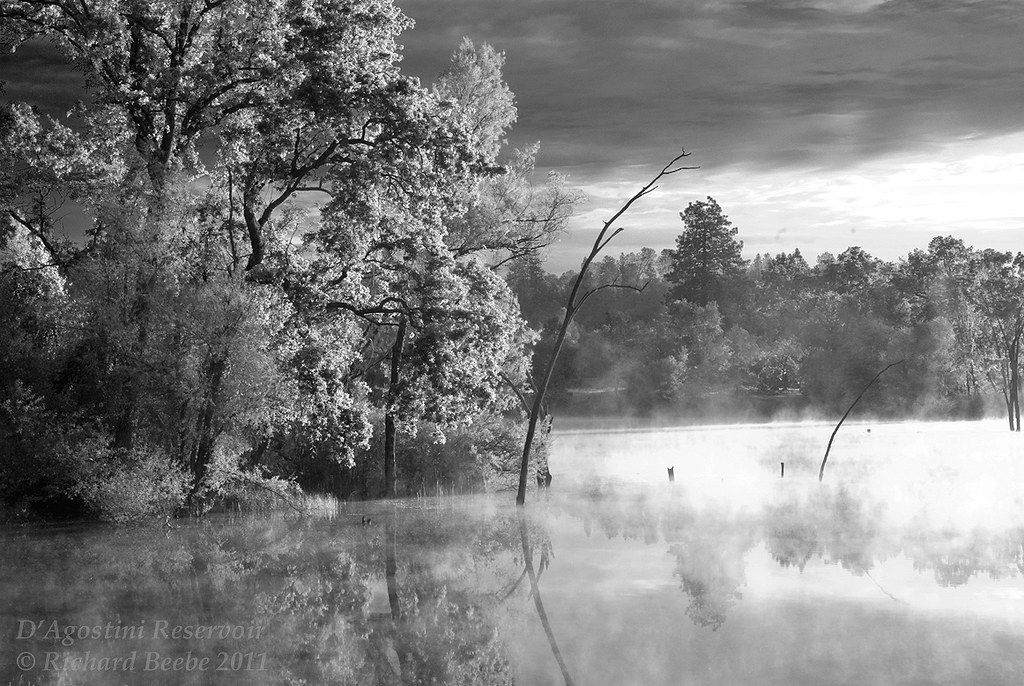
D'Agostini Reservoir

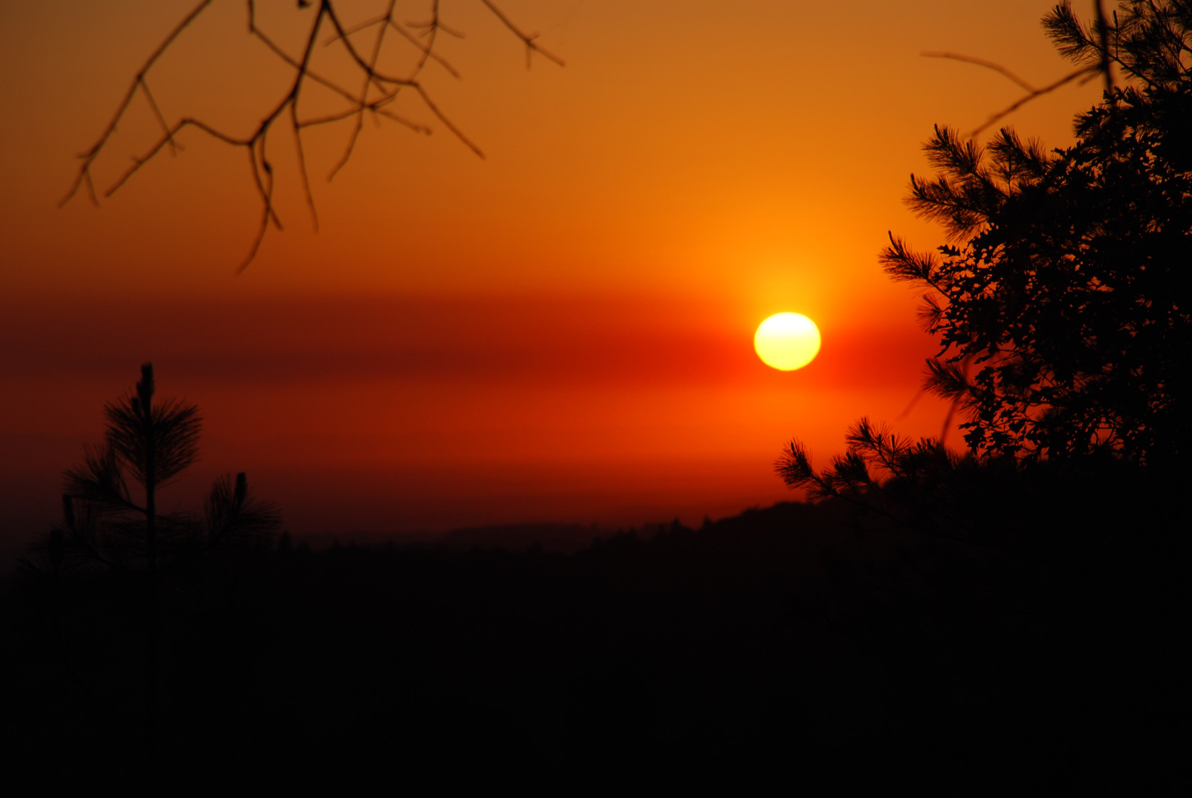
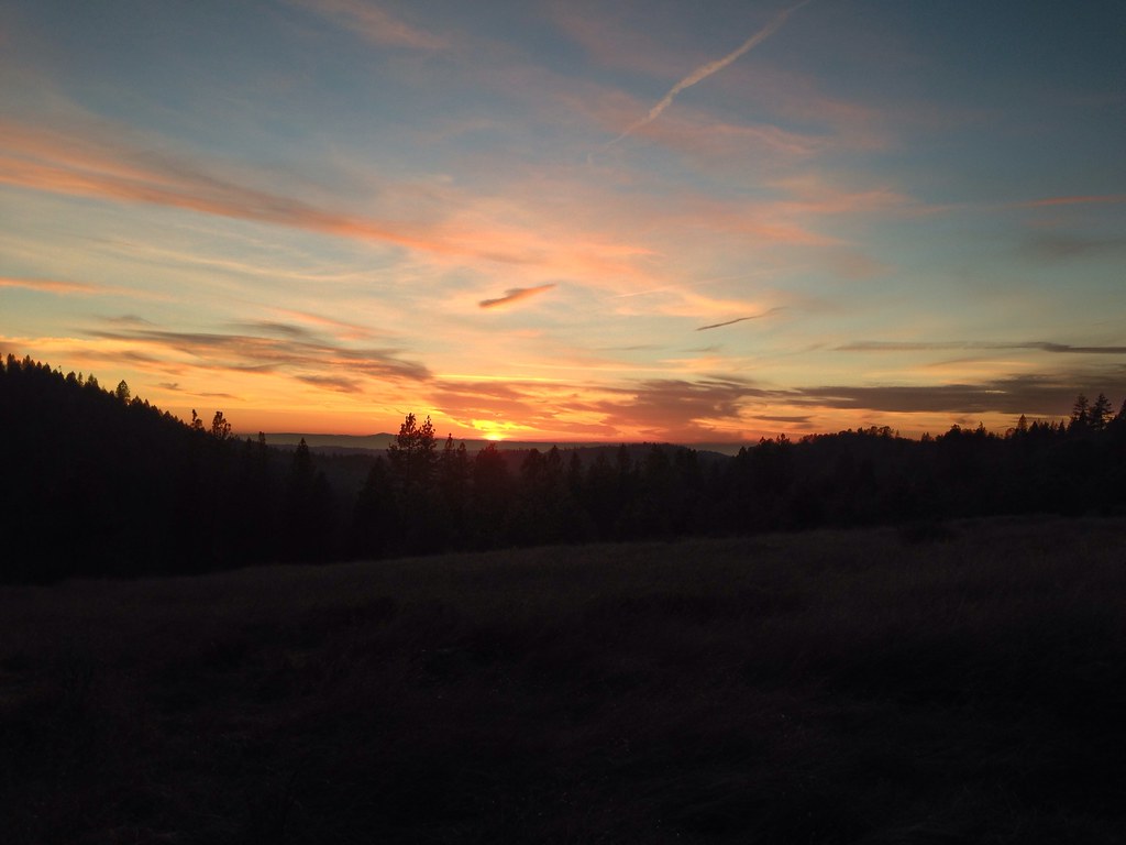
california sunset
At the End of the Day at the Pond
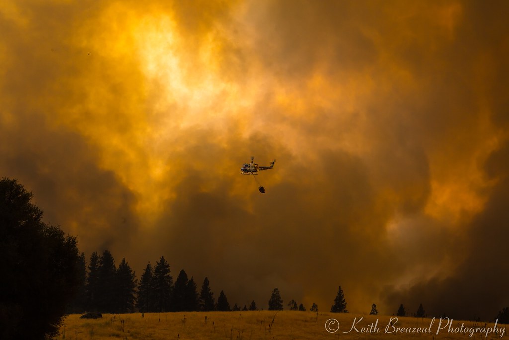
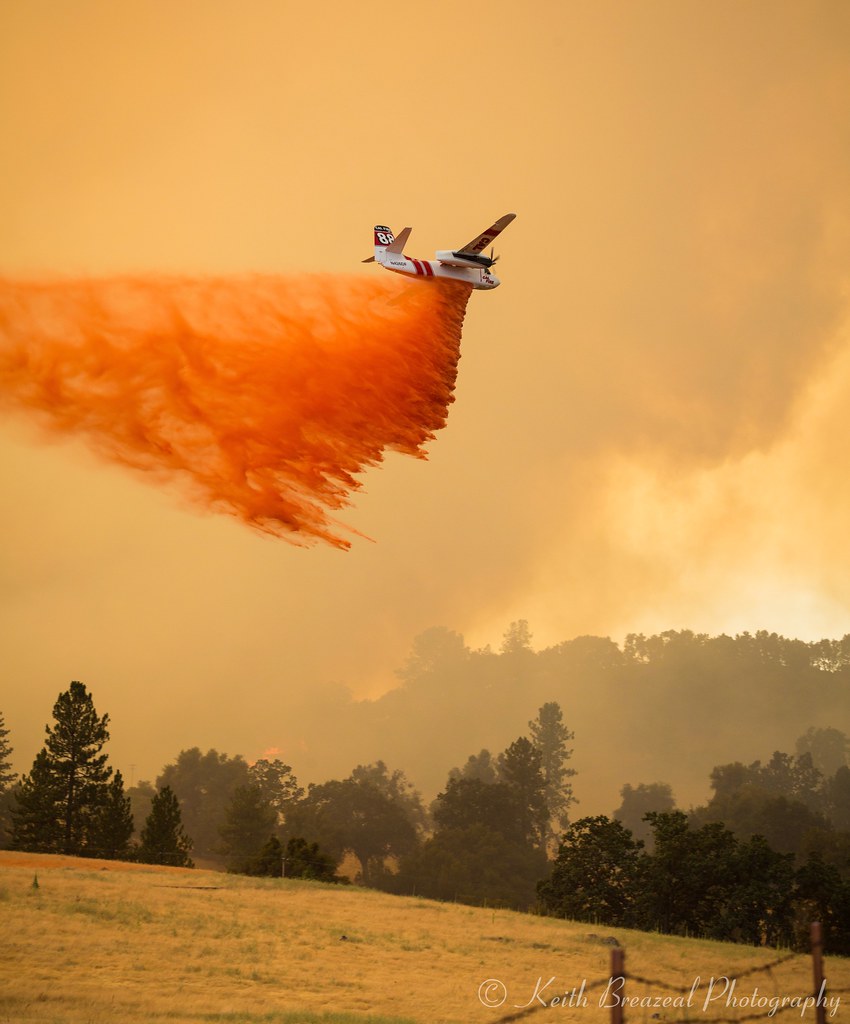
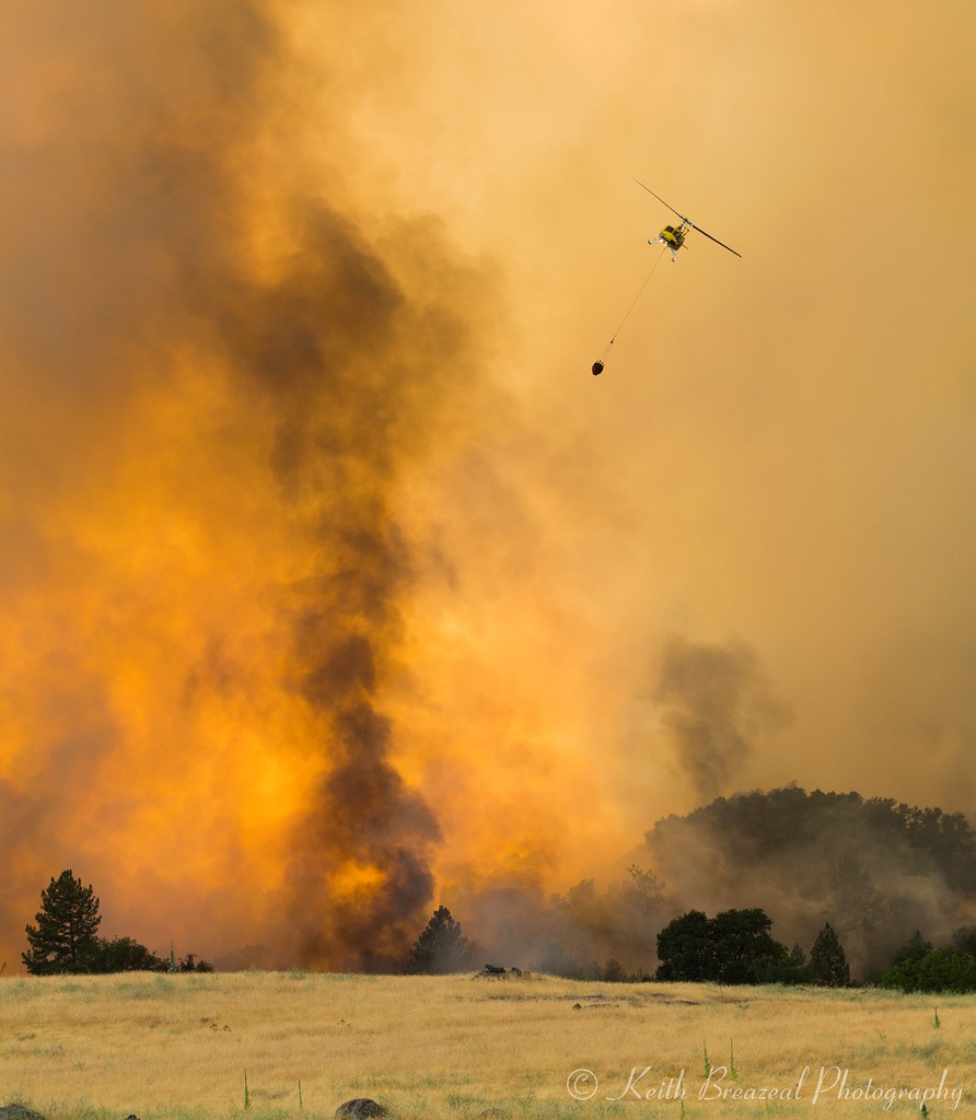
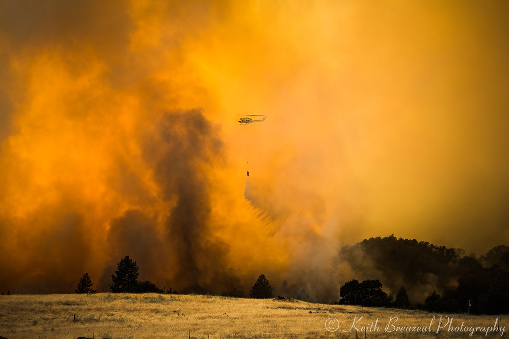
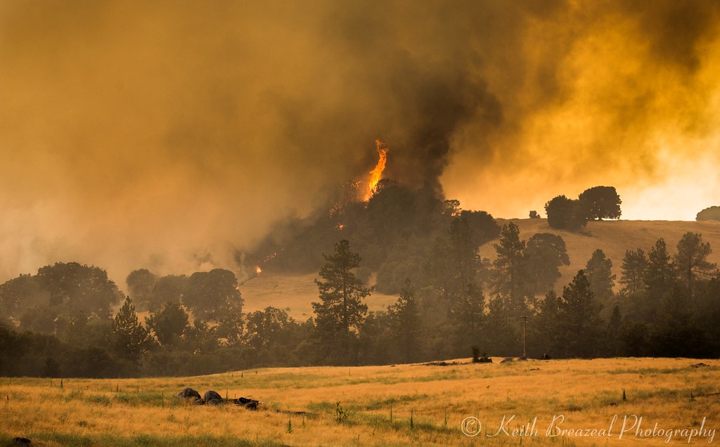
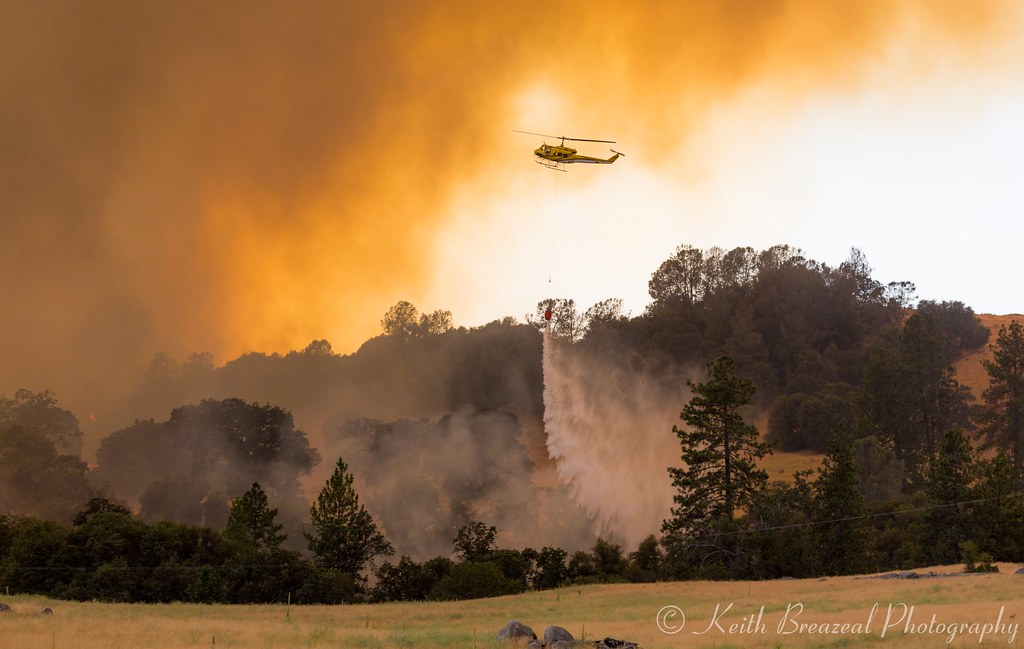
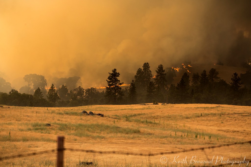
Sand Fire July 2014 © Keith Breazeal
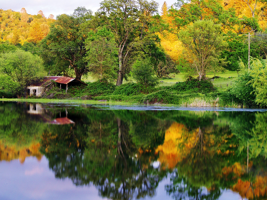
The Shed on the Pond
Sand Fire July 2014 © Keith Breazeal-38
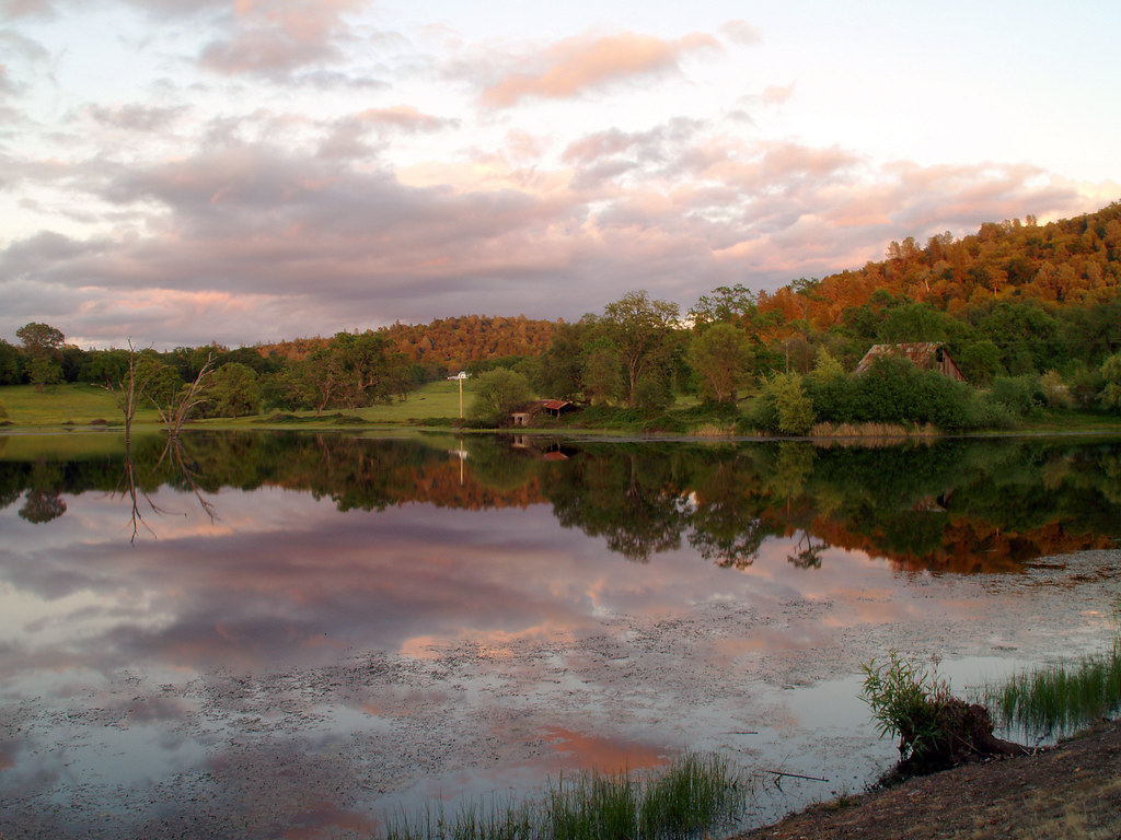
Sunset on the Pond
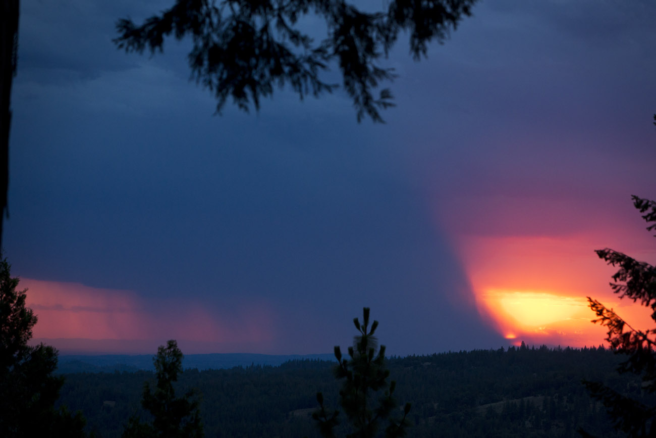
Fire from beyond
Sacramento deluge
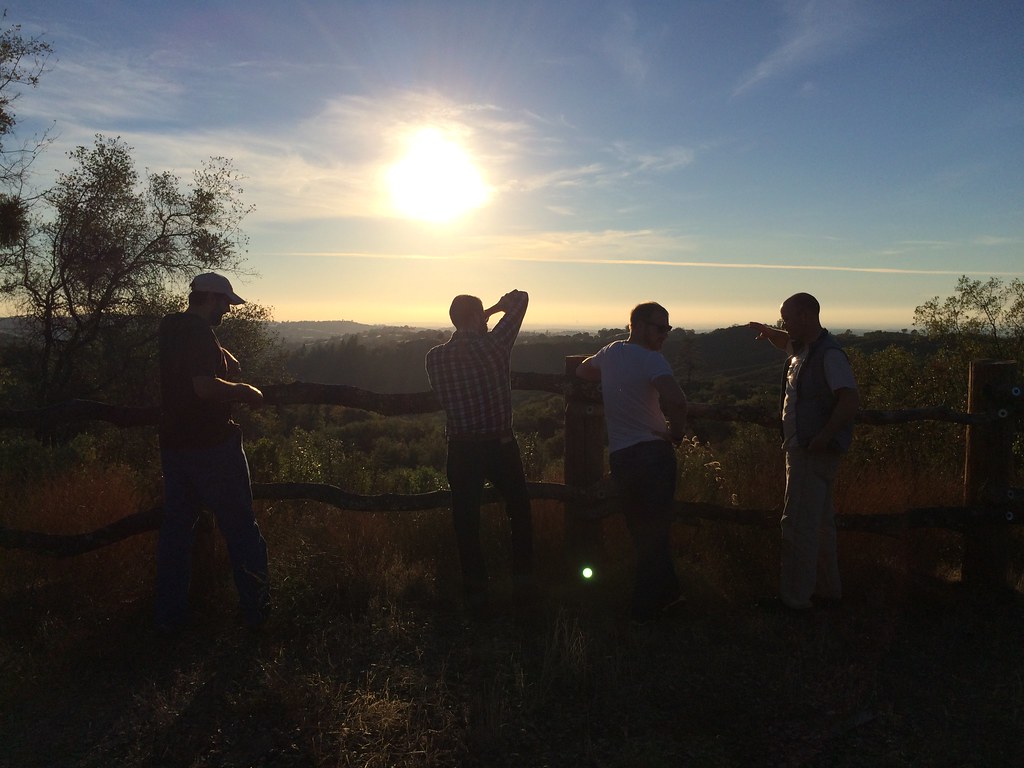
A gorgeous sunset in the hills as we left....
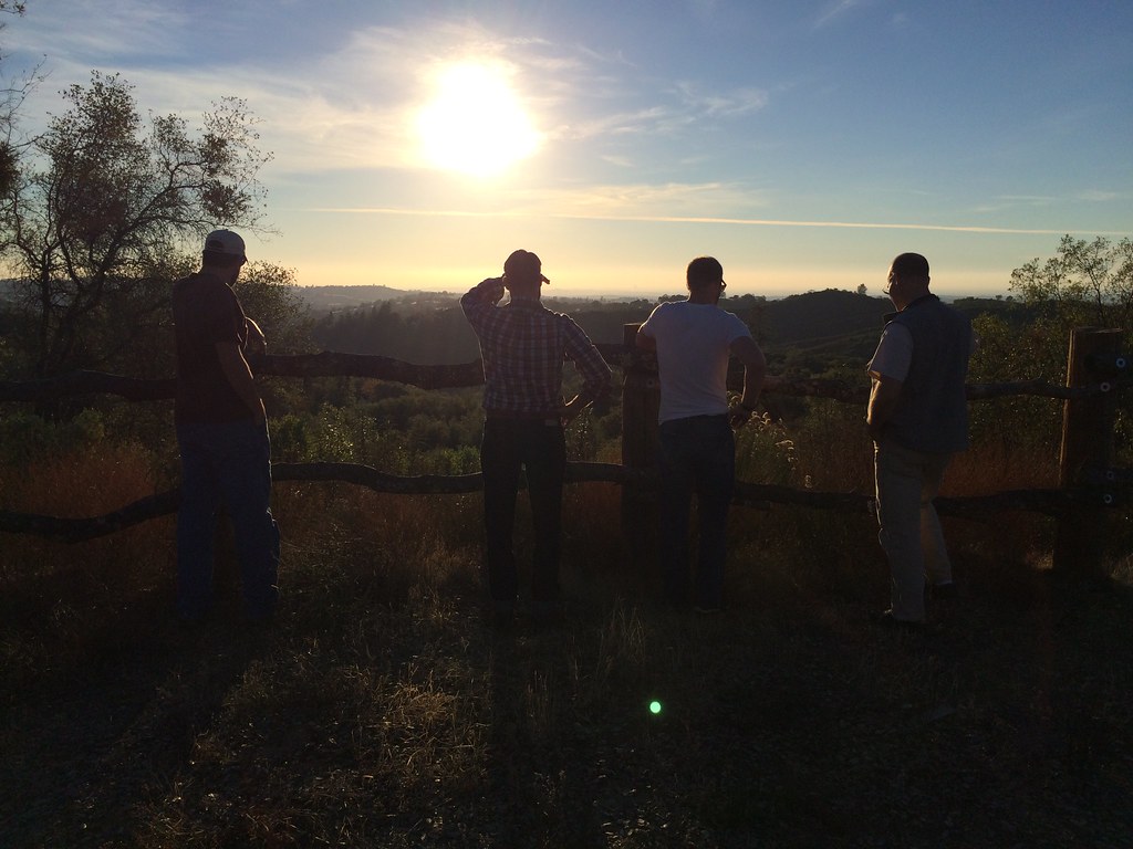
A Final Sunset at the Fence
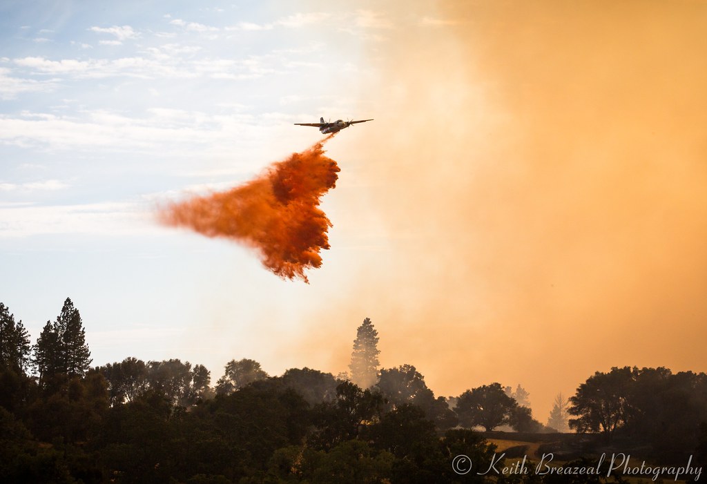
Sand Fire July 2014 © Keith Breazeal-32
#sunset #nature #mountains #pioneer
Sand Fire July 2014 © Keith Breazeal-21
Another Sunset at the Fence
Sand Fire July 2014 © Keith Breazeal-19
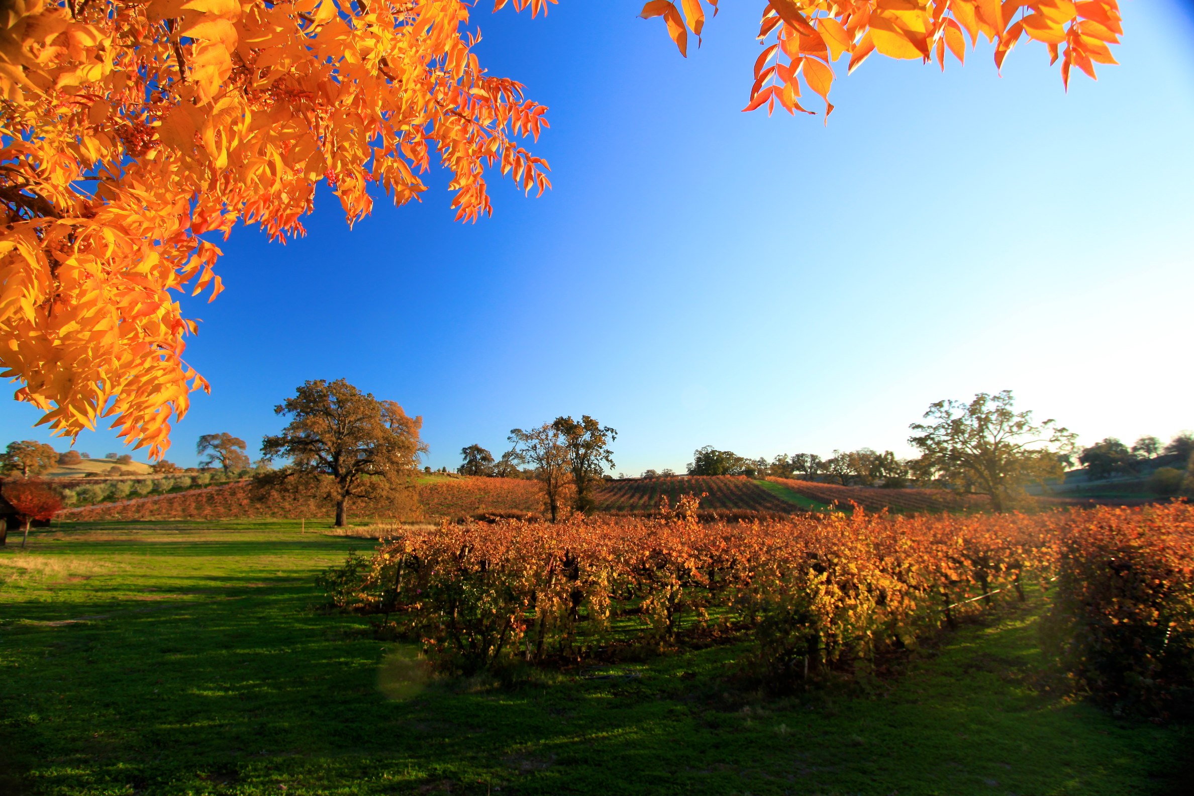
Amador winetasting Nov 2012 145
Sand Fire July 2014 © Keith Breazeal-28
Sand Fire July 2014 © Keith Breazeal-23
Sand Fire July 2014 © Keith Breazeal-30
sunset on cake

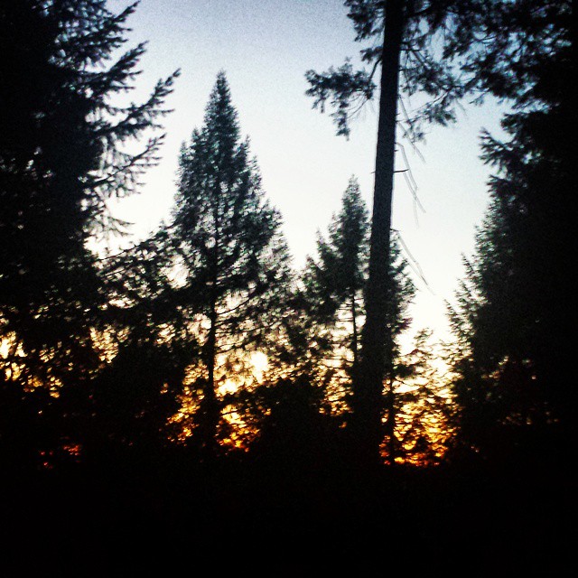
Sunrise through the trees in Amador County

Sunrise through the trees in Amador County
RB_05-27-11_033bw1_D'AgostiniRes-Sunrise

Sunrise through the trees in Amador County

Sunrise through the trees in Amador County

Sunrise Behind the Trees Amador County

Sunrise through the trees in Amador County

Sunrise through the trees in Amador County

Sunrise through the trees in Amador County

Sunrise through the trees in Amador County

Sunrise through the trees in Amador County

Sunrise through the trees in Amador County

Sunrise through the trees in Amador County

Sunrise through the trees in Amador County
Shake Ridge Rd, Volcano, CA, USA Karte
Suchen Sie einen anderen Ort
Nahe Plätze
Shake Ridge Rd, Volcano, CA, USA
Shake Ridge Rd, Volcano, CA, USA
Gold Creek Trail, Volcano, CA, USA
Shake Ridge Rd, Volcano, CA, USA
Shake Ridge Rd, Volcano, CA, USA
Wildcat Way, California, USA
Markley Mine Rd, Volcano, CA, USA
Shake Ridge Rd, Volcano, CA, USA
Ponderosa Hills Rd, Volcano, CA, USA
Lockwood Fire Protection District - Station 1, Shake Ridge Rd, Volcano, CA, USA
Rams Horn Grade Road, Volcano, CA, USA
McLaughlin's Daffodil Hill, Rams Horn Grade Road, Volcano, CA, USA
Gold Creek Trail, Volcano, CA, USA
Gold Creek Trail, Volcano, CA, USA
Shake Ridge Rd, Volcano, CA, USA
Gold Creek Trail, Volcano, CA, USA
Rams Horn Grade Road, Volcano, CA, USA
Rams Horn Grade Road, Volcano, CA, USA
Charleston Ct, Volcano, CA, USA
Charleston Ct, Volcano, CA, USA
Letzte Suche
- San Telmo, Autonomen Stadt Buenos Aires, Argentinien Sonnenaufgang Sonnenuntergang Zeiten
- Congressional Dr, Stevensville, MD, USA Sonnenaufgang Sonnenuntergang Zeiten
- Papingo 04, Griechenland Sonnenaufgang Sonnenuntergang Zeiten
- Pagonija rock, Kranto 7-oji g. 8"N, Kaunas, Lithuania Sonnenaufgang Sonnenuntergang Zeiten
- Co Rd 87, Jamestown, CO, USA Sonnenaufgang Sonnenuntergang Zeiten
- Tenjo, Cundinamarca, Colombia Sonnenaufgang Sonnenuntergang Zeiten
- -1 Gosho, Ichihara, Chiba -, Japan Sonnenaufgang Sonnenuntergang Zeiten
- -, Japan Sonnenaufgang Sonnenuntergang Zeiten
- Spaceport America, Co Rd A, Truth or Consequences, NM, USA Sonnenaufgang Sonnenuntergang Zeiten
- Warwick, Rhode Island, USA Sonnenaufgang Sonnenuntergang Zeiten