Round Mountain, CA, USA Sonnenaufgang Sonnenuntergang Zeiten
Location: USA > Kalifornien > Shasta County >
Zeitzone:
America/Los_Angeles
Ortszeit:
2024-05-02 07:06:45
Länge:
-121.9419412
Breite:
40.7940442
Sonnenaufgang Heute:
06:03:27 AM
Sonnenuntergang Heute:
08:05:50 PM
Tageslänge heute:
14h 2m 23s
Sonnenaufgang morgen:
06:02:13 AM
Sonnenuntergang Morgen:
08:06:53 PM
Tageslänge von morgen:
14h 4m 40s
Alle Termine anzeigen
| Datum | Sonnenaufgang | Sonnenuntergang | Tageslänge |
|---|---|---|---|
| 2024-01-01 | 07:31:59 AM | 04:51:18 PM | 9h 19m 19s |
| 2024-01-02 | 07:32:03 AM | 04:52:09 PM | 9h 20m 6s |
| 2024-01-03 | 07:32:05 AM | 04:53:03 PM | 9h 20m 58s |
| 2024-01-04 | 07:32:04 AM | 04:53:58 PM | 9h 21m 54s |
| 2024-01-05 | 07:32:01 AM | 04:54:54 PM | 9h 22m 53s |
| 2024-01-06 | 07:31:56 AM | 04:55:52 PM | 9h 23m 56s |
| 2024-01-07 | 07:31:48 AM | 04:56:50 PM | 9h 25m 2s |
| 2024-01-08 | 07:31:38 AM | 04:57:51 PM | 9h 26m 13s |
| 2024-01-09 | 07:31:26 AM | 04:58:52 PM | 9h 27m 26s |
| 2024-01-10 | 07:31:12 AM | 04:59:54 PM | 9h 28m 42s |
| 2024-01-11 | 07:30:55 AM | 05:00:58 PM | 9h 30m 3s |
| 2024-01-12 | 07:30:36 AM | 05:02:02 PM | 9h 31m 26s |
| 2024-01-13 | 07:30:15 AM | 05:03:08 PM | 9h 32m 53s |
| 2024-01-14 | 07:29:52 AM | 05:04:14 PM | 9h 34m 22s |
| 2024-01-15 | 07:29:26 AM | 05:05:22 PM | 9h 35m 56s |
| 2024-01-16 | 07:28:59 AM | 05:06:30 PM | 9h 37m 31s |
| 2024-01-17 | 07:28:29 AM | 05:07:39 PM | 9h 39m 10s |
| 2024-01-18 | 07:27:57 AM | 05:08:48 PM | 9h 40m 51s |
| 2024-01-19 | 07:27:23 AM | 05:09:58 PM | 9h 42m 35s |
| 2024-01-20 | 07:26:47 AM | 05:11:09 PM | 9h 44m 22s |
| 2024-01-21 | 07:26:09 AM | 05:12:20 PM | 9h 46m 11s |
| 2024-01-22 | 07:25:29 AM | 05:13:32 PM | 9h 48m 3s |
| 2024-01-23 | 07:24:46 AM | 05:14:44 PM | 9h 49m 58s |
| 2024-01-24 | 07:24:02 AM | 05:15:56 PM | 9h 51m 54s |
| 2024-01-25 | 07:23:16 AM | 05:17:09 PM | 9h 53m 53s |
| 2024-01-26 | 07:22:28 AM | 05:18:23 PM | 9h 55m 55s |
| 2024-01-27 | 07:21:38 AM | 05:19:36 PM | 9h 57m 58s |
| 2024-01-28 | 07:20:47 AM | 05:20:50 PM | 10h 0m 3s |
| 2024-01-29 | 07:19:53 AM | 05:22:04 PM | 10h 2m 11s |
| 2024-01-30 | 07:18:58 AM | 05:23:18 PM | 10h 4m 20s |
| 2024-01-31 | 07:18:01 AM | 05:24:32 PM | 10h 6m 31s |
| 2024-02-01 | 07:17:02 AM | 05:25:46 PM | 10h 8m 44s |
| 2024-02-02 | 07:16:02 AM | 05:27:00 PM | 10h 10m 58s |
| 2024-02-03 | 07:15:00 AM | 05:28:14 PM | 10h 13m 14s |
| 2024-02-04 | 07:13:56 AM | 05:29:29 PM | 10h 15m 33s |
| 2024-02-05 | 07:12:51 AM | 05:30:43 PM | 10h 17m 52s |
| 2024-02-06 | 07:11:44 AM | 05:31:57 PM | 10h 20m 13s |
| 2024-02-07 | 07:10:36 AM | 05:33:11 PM | 10h 22m 35s |
| 2024-02-08 | 07:09:26 AM | 05:34:25 PM | 10h 24m 59s |
| 2024-02-09 | 07:08:15 AM | 05:35:39 PM | 10h 27m 24s |
| 2024-02-10 | 07:07:03 AM | 05:36:52 PM | 10h 29m 49s |
| 2024-02-11 | 07:05:49 AM | 05:38:06 PM | 10h 32m 17s |
| 2024-02-12 | 07:04:34 AM | 05:39:19 PM | 10h 34m 45s |
| 2024-02-13 | 07:03:17 AM | 05:40:32 PM | 10h 37m 15s |
| 2024-02-14 | 07:02:00 AM | 05:41:45 PM | 10h 39m 45s |
| 2024-02-15 | 07:00:41 AM | 05:42:57 PM | 10h 42m 16s |
| 2024-02-16 | 06:59:21 AM | 05:44:10 PM | 10h 44m 49s |
| 2024-02-17 | 06:57:59 AM | 05:45:22 PM | 10h 47m 23s |
| 2024-02-18 | 06:56:37 AM | 05:46:33 PM | 10h 49m 56s |
| 2024-02-19 | 06:55:14 AM | 05:47:45 PM | 10h 52m 31s |
| 2024-02-20 | 06:53:49 AM | 05:48:56 PM | 10h 55m 7s |
| 2024-02-21 | 06:52:24 AM | 05:50:07 PM | 10h 57m 43s |
| 2024-02-22 | 06:50:58 AM | 05:51:17 PM | 11h 0m 19s |
| 2024-02-23 | 06:49:30 AM | 05:52:28 PM | 11h 2m 58s |
| 2024-02-24 | 06:48:02 AM | 05:53:38 PM | 11h 5m 36s |
| 2024-02-25 | 06:46:33 AM | 05:54:48 PM | 11h 8m 15s |
| 2024-02-26 | 06:45:03 AM | 05:55:57 PM | 11h 10m 54s |
| 2024-02-27 | 06:43:33 AM | 05:57:06 PM | 11h 13m 33s |
| 2024-02-28 | 06:42:01 AM | 05:58:15 PM | 11h 16m 14s |
| 2024-02-29 | 06:40:29 AM | 05:59:23 PM | 11h 18m 54s |
| 2024-03-01 | 06:38:57 AM | 06:00:32 PM | 11h 21m 35s |
| 2024-03-02 | 06:37:23 AM | 06:01:39 PM | 11h 24m 16s |
| 2024-03-03 | 06:35:49 AM | 06:02:47 PM | 11h 26m 58s |
| 2024-03-04 | 06:34:14 AM | 06:03:54 PM | 11h 29m 40s |
| 2024-03-05 | 06:32:39 AM | 06:05:02 PM | 11h 32m 23s |
| 2024-03-06 | 06:31:04 AM | 06:06:08 PM | 11h 35m 4s |
| 2024-03-07 | 06:29:27 AM | 06:07:15 PM | 11h 37m 48s |
| 2024-03-08 | 06:27:51 AM | 06:08:21 PM | 11h 40m 30s |
| 2024-03-09 | 06:26:14 AM | 06:09:27 PM | 11h 43m 13s |
| 2024-03-10 | 07:24:40 AM | 07:10:30 PM | 11h 45m 50s |
| 2024-03-11 | 07:23:02 AM | 07:11:36 PM | 11h 48m 34s |
| 2024-03-12 | 07:21:24 AM | 07:12:41 PM | 11h 51m 17s |
| 2024-03-13 | 07:19:46 AM | 07:13:46 PM | 11h 54m 0s |
| 2024-03-14 | 07:18:07 AM | 07:14:51 PM | 11h 56m 44s |
| 2024-03-15 | 07:16:28 AM | 07:15:56 PM | 11h 59m 28s |
| 2024-03-16 | 07:14:49 AM | 07:17:01 PM | 12h 2m 12s |
| 2024-03-17 | 07:13:10 AM | 07:18:05 PM | 12h 4m 55s |
| 2024-03-18 | 07:11:30 AM | 07:19:09 PM | 12h 7m 39s |
| 2024-03-19 | 07:09:51 AM | 07:20:14 PM | 12h 10m 23s |
| 2024-03-20 | 07:08:11 AM | 07:21:17 PM | 12h 13m 6s |
| 2024-03-21 | 07:06:31 AM | 07:22:21 PM | 12h 15m 50s |
| 2024-03-22 | 07:04:51 AM | 07:23:25 PM | 12h 18m 34s |
| 2024-03-23 | 07:03:12 AM | 07:24:29 PM | 12h 21m 17s |
| 2024-03-24 | 07:01:32 AM | 07:25:32 PM | 12h 24m 0s |
| 2024-03-25 | 06:59:52 AM | 07:26:36 PM | 12h 26m 44s |
| 2024-03-26 | 06:58:13 AM | 07:27:39 PM | 12h 29m 26s |
| 2024-03-27 | 06:56:33 AM | 07:28:42 PM | 12h 32m 9s |
| 2024-03-28 | 06:54:54 AM | 07:29:45 PM | 12h 34m 51s |
| 2024-03-29 | 06:53:15 AM | 07:30:48 PM | 12h 37m 33s |
| 2024-03-30 | 06:51:36 AM | 07:31:52 PM | 12h 40m 16s |
| 2024-03-31 | 06:49:58 AM | 07:32:55 PM | 12h 42m 57s |
| 2024-04-01 | 06:48:19 AM | 07:33:58 PM | 12h 45m 39s |
| 2024-04-02 | 06:46:41 AM | 07:35:01 PM | 12h 48m 20s |
| 2024-04-03 | 06:45:04 AM | 07:36:04 PM | 12h 51m 0s |
| 2024-04-04 | 06:43:26 AM | 07:37:07 PM | 12h 53m 41s |
| 2024-04-05 | 06:41:50 AM | 07:38:09 PM | 12h 56m 19s |
| 2024-04-06 | 06:40:13 AM | 07:39:12 PM | 12h 58m 59s |
| 2024-04-07 | 06:38:37 AM | 07:40:15 PM | 13h 1m 38s |
| 2024-04-08 | 06:37:02 AM | 07:41:18 PM | 13h 4m 16s |
| 2024-04-09 | 06:35:27 AM | 07:42:21 PM | 13h 6m 54s |
| 2024-04-10 | 06:33:52 AM | 07:43:24 PM | 13h 9m 32s |
| 2024-04-11 | 06:32:19 AM | 07:44:27 PM | 13h 12m 8s |
| 2024-04-12 | 06:30:45 AM | 07:45:31 PM | 13h 14m 46s |
| 2024-04-13 | 06:29:13 AM | 07:46:34 PM | 13h 17m 21s |
| 2024-04-14 | 06:27:41 AM | 07:47:37 PM | 13h 19m 56s |
| 2024-04-15 | 06:26:10 AM | 07:48:40 PM | 13h 22m 30s |
| 2024-04-16 | 06:24:39 AM | 07:49:43 PM | 13h 25m 4s |
| 2024-04-17 | 06:23:10 AM | 07:50:46 PM | 13h 27m 36s |
| 2024-04-18 | 06:21:41 AM | 07:51:49 PM | 13h 30m 8s |
| 2024-04-19 | 06:20:13 AM | 07:52:52 PM | 13h 32m 39s |
| 2024-04-20 | 06:18:46 AM | 07:53:55 PM | 13h 35m 9s |
| 2024-04-21 | 06:17:20 AM | 07:54:59 PM | 13h 37m 39s |
| 2024-04-22 | 06:15:55 AM | 07:56:02 PM | 13h 40m 7s |
| 2024-04-23 | 06:14:30 AM | 07:57:05 PM | 13h 42m 35s |
| 2024-04-24 | 06:13:07 AM | 07:58:08 PM | 13h 45m 1s |
| 2024-04-25 | 06:11:45 AM | 07:59:11 PM | 13h 47m 26s |
| 2024-04-26 | 06:10:24 AM | 08:00:14 PM | 13h 49m 50s |
| 2024-04-27 | 06:09:04 AM | 08:01:17 PM | 13h 52m 13s |
| 2024-04-28 | 06:07:45 AM | 08:02:19 PM | 13h 54m 34s |
| 2024-04-29 | 06:06:27 AM | 08:03:22 PM | 13h 56m 55s |
| 2024-04-30 | 06:05:10 AM | 08:04:25 PM | 13h 59m 15s |
| 2024-05-01 | 06:03:55 AM | 08:05:27 PM | 14h 1m 32s |
| 2024-05-02 | 06:02:41 AM | 08:06:29 PM | 14h 3m 48s |
| 2024-05-03 | 06:01:28 AM | 08:07:31 PM | 14h 6m 3s |
| 2024-05-04 | 06:00:16 AM | 08:08:33 PM | 14h 8m 17s |
| 2024-05-05 | 05:59:06 AM | 08:09:35 PM | 14h 10m 29s |
| 2024-05-06 | 05:57:58 AM | 08:10:36 PM | 14h 12m 38s |
| 2024-05-07 | 05:56:50 AM | 08:11:37 PM | 14h 14m 47s |
| 2024-05-08 | 05:55:44 AM | 08:12:38 PM | 14h 16m 54s |
| 2024-05-09 | 05:54:40 AM | 08:13:39 PM | 14h 18m 59s |
| 2024-05-10 | 05:53:37 AM | 08:14:39 PM | 14h 21m 2s |
| 2024-05-11 | 05:52:36 AM | 08:15:39 PM | 14h 23m 3s |
| 2024-05-12 | 05:51:36 AM | 08:16:38 PM | 14h 25m 2s |
| 2024-05-13 | 05:50:38 AM | 08:17:37 PM | 14h 26m 59s |
| 2024-05-14 | 05:49:41 AM | 08:18:35 PM | 14h 28m 54s |
| 2024-05-15 | 05:48:46 AM | 08:19:33 PM | 14h 30m 47s |
| 2024-05-16 | 05:47:53 AM | 08:20:30 PM | 14h 32m 37s |
| 2024-05-17 | 05:47:01 AM | 08:21:27 PM | 14h 34m 26s |
| 2024-05-18 | 05:46:11 AM | 08:22:23 PM | 14h 36m 12s |
| 2024-05-19 | 05:45:23 AM | 08:23:18 PM | 14h 37m 55s |
| 2024-05-20 | 05:44:37 AM | 08:24:13 PM | 14h 39m 36s |
| 2024-05-21 | 05:43:52 AM | 08:25:07 PM | 14h 41m 15s |
| 2024-05-22 | 05:43:09 AM | 08:26:00 PM | 14h 42m 51s |
| 2024-05-23 | 05:42:29 AM | 08:26:53 PM | 14h 44m 24s |
| 2024-05-24 | 05:41:50 AM | 08:27:44 PM | 14h 45m 54s |
| 2024-05-25 | 05:41:12 AM | 08:28:35 PM | 14h 47m 23s |
| 2024-05-26 | 05:40:37 AM | 08:29:24 PM | 14h 48m 47s |
| 2024-05-27 | 05:40:04 AM | 08:30:13 PM | 14h 50m 9s |
| 2024-05-28 | 05:39:32 AM | 08:31:00 PM | 14h 51m 28s |
| 2024-05-29 | 05:39:03 AM | 08:31:47 PM | 14h 52m 44s |
| 2024-05-30 | 05:38:35 AM | 08:32:32 PM | 14h 53m 57s |
| 2024-05-31 | 05:38:10 AM | 08:33:16 PM | 14h 55m 6s |
| 2024-06-01 | 05:37:46 AM | 08:33:59 PM | 14h 56m 13s |
| 2024-06-02 | 05:37:25 AM | 08:34:41 PM | 14h 57m 16s |
| 2024-06-03 | 05:37:05 AM | 08:35:21 PM | 14h 58m 16s |
| 2024-06-04 | 05:36:48 AM | 08:36:00 PM | 14h 59m 12s |
| 2024-06-05 | 05:36:32 AM | 08:36:38 PM | 15h 0m 6s |
| 2024-06-06 | 05:36:18 AM | 08:37:14 PM | 15h 0m 56s |
| 2024-06-07 | 05:36:07 AM | 08:37:49 PM | 15h 1m 42s |
| 2024-06-08 | 05:35:57 AM | 08:38:22 PM | 15h 2m 25s |
| 2024-06-09 | 05:35:50 AM | 08:38:54 PM | 15h 3m 4s |
| 2024-06-10 | 05:35:44 AM | 08:39:24 PM | 15h 3m 40s |
| 2024-06-11 | 05:35:40 AM | 08:39:53 PM | 15h 4m 13s |
| 2024-06-12 | 05:35:39 AM | 08:40:20 PM | 15h 4m 41s |
| 2024-06-13 | 05:35:39 AM | 08:40:45 PM | 15h 5m 6s |
| 2024-06-14 | 05:35:41 AM | 08:41:08 PM | 15h 5m 27s |
| 2024-06-15 | 05:35:45 AM | 08:41:30 PM | 15h 5m 45s |
| 2024-06-16 | 05:35:51 AM | 08:41:50 PM | 15h 5m 59s |
| 2024-06-17 | 05:35:59 AM | 08:42:08 PM | 15h 6m 9s |
| 2024-06-18 | 05:36:09 AM | 08:42:24 PM | 15h 6m 15s |
| 2024-06-19 | 05:36:21 AM | 08:42:39 PM | 15h 6m 18s |
| 2024-06-20 | 05:36:35 AM | 08:42:51 PM | 15h 6m 16s |
| 2024-06-21 | 05:36:50 AM | 08:43:02 PM | 15h 6m 12s |
| 2024-06-22 | 05:37:07 AM | 08:43:11 PM | 15h 6m 4s |
| 2024-06-23 | 05:37:26 AM | 08:43:18 PM | 15h 5m 52s |
| 2024-06-24 | 05:37:47 AM | 08:43:22 PM | 15h 5m 35s |
| 2024-06-25 | 05:38:09 AM | 08:43:25 PM | 15h 5m 16s |
| 2024-06-26 | 05:38:33 AM | 08:43:26 PM | 15h 4m 53s |
| 2024-06-27 | 05:38:59 AM | 08:43:25 PM | 15h 4m 26s |
| 2024-06-28 | 05:39:26 AM | 08:43:22 PM | 15h 3m 56s |
| 2024-06-29 | 05:39:55 AM | 08:43:16 PM | 15h 3m 21s |
| 2024-06-30 | 05:40:25 AM | 08:43:09 PM | 15h 2m 44s |
| 2024-07-01 | 05:40:57 AM | 08:43:00 PM | 15h 2m 3s |
| 2024-07-02 | 05:41:30 AM | 08:42:48 PM | 15h 1m 18s |
| 2024-07-03 | 05:42:04 AM | 08:42:35 PM | 15h 0m 31s |
| 2024-07-04 | 05:42:40 AM | 08:42:19 PM | 14h 59m 39s |
| 2024-07-05 | 05:43:18 AM | 08:42:02 PM | 14h 58m 44s |
| 2024-07-06 | 05:43:56 AM | 08:41:42 PM | 14h 57m 46s |
| 2024-07-07 | 05:44:36 AM | 08:41:21 PM | 14h 56m 45s |
| 2024-07-08 | 05:45:17 AM | 08:40:57 PM | 14h 55m 40s |
| 2024-07-09 | 05:45:59 AM | 08:40:32 PM | 14h 54m 33s |
| 2024-07-10 | 05:46:43 AM | 08:40:04 PM | 14h 53m 21s |
| 2024-07-11 | 05:47:27 AM | 08:39:34 PM | 14h 52m 7s |
| 2024-07-12 | 05:48:12 AM | 08:39:03 PM | 14h 50m 51s |
| 2024-07-13 | 05:48:59 AM | 08:38:29 PM | 14h 49m 30s |
| 2024-07-14 | 05:49:46 AM | 08:37:54 PM | 14h 48m 8s |
| 2024-07-15 | 05:50:34 AM | 08:37:17 PM | 14h 46m 43s |
| 2024-07-16 | 05:51:23 AM | 08:36:37 PM | 14h 45m 14s |
| 2024-07-17 | 05:52:13 AM | 08:35:56 PM | 14h 43m 43s |
| 2024-07-18 | 05:53:04 AM | 08:35:13 PM | 14h 42m 9s |
| 2024-07-19 | 05:53:55 AM | 08:34:28 PM | 14h 40m 33s |
| 2024-07-20 | 05:54:47 AM | 08:33:41 PM | 14h 38m 54s |
| 2024-07-21 | 05:55:40 AM | 08:32:53 PM | 14h 37m 13s |
| 2024-07-22 | 05:56:34 AM | 08:32:02 PM | 14h 35m 28s |
| 2024-07-23 | 05:57:27 AM | 08:31:10 PM | 14h 33m 43s |
| 2024-07-24 | 05:58:22 AM | 08:30:16 PM | 14h 31m 54s |
| 2024-07-25 | 05:59:17 AM | 08:29:21 PM | 14h 30m 4s |
| 2024-07-26 | 06:00:12 AM | 08:28:24 PM | 14h 28m 12s |
| 2024-07-27 | 06:01:08 AM | 08:27:25 PM | 14h 26m 17s |
| 2024-07-28 | 06:02:05 AM | 08:26:24 PM | 14h 24m 19s |
| 2024-07-29 | 06:03:01 AM | 08:25:22 PM | 14h 22m 21s |
| 2024-07-30 | 06:03:58 AM | 08:24:19 PM | 14h 20m 21s |
| 2024-07-31 | 06:04:56 AM | 08:23:14 PM | 14h 18m 18s |
| 2024-08-01 | 06:05:53 AM | 08:22:07 PM | 14h 16m 14s |
| 2024-08-02 | 06:06:51 AM | 08:20:59 PM | 14h 14m 8s |
| 2024-08-03 | 06:07:49 AM | 08:19:49 PM | 14h 12m 0s |
| 2024-08-04 | 06:08:47 AM | 08:18:38 PM | 14h 9m 51s |
| 2024-08-05 | 06:09:46 AM | 08:17:26 PM | 14h 7m 40s |
| 2024-08-06 | 06:10:45 AM | 08:16:12 PM | 14h 5m 27s |
| 2024-08-07 | 06:11:43 AM | 08:14:57 PM | 14h 3m 14s |
| 2024-08-08 | 06:12:42 AM | 08:13:41 PM | 14h 0m 59s |
| 2024-08-09 | 06:13:41 AM | 08:12:24 PM | 13h 58m 43s |
| 2024-08-10 | 06:14:40 AM | 08:11:05 PM | 13h 56m 25s |
| 2024-08-11 | 06:15:40 AM | 08:09:45 PM | 13h 54m 5s |
| 2024-08-12 | 06:16:39 AM | 08:08:24 PM | 13h 51m 45s |
| 2024-08-13 | 06:17:38 AM | 08:07:02 PM | 13h 49m 24s |
| 2024-08-14 | 06:18:37 AM | 08:05:39 PM | 13h 47m 2s |
| 2024-08-15 | 06:19:37 AM | 08:04:14 PM | 13h 44m 37s |
| 2024-08-16 | 06:20:36 AM | 08:02:49 PM | 13h 42m 13s |
| 2024-08-17 | 06:21:35 AM | 08:01:23 PM | 13h 39m 48s |
| 2024-08-18 | 06:22:34 AM | 07:59:55 PM | 13h 37m 21s |
| 2024-08-19 | 06:23:34 AM | 07:58:27 PM | 13h 34m 53s |
| 2024-08-20 | 06:24:33 AM | 07:56:58 PM | 13h 32m 25s |
| 2024-08-21 | 06:25:32 AM | 07:55:28 PM | 13h 29m 56s |
| 2024-08-22 | 06:26:31 AM | 07:53:57 PM | 13h 27m 26s |
| 2024-08-23 | 06:27:30 AM | 07:52:25 PM | 13h 24m 55s |
| 2024-08-24 | 06:28:29 AM | 07:50:53 PM | 13h 22m 24s |
| 2024-08-25 | 06:29:28 AM | 07:49:20 PM | 13h 19m 52s |
| 2024-08-26 | 06:30:27 AM | 07:47:46 PM | 13h 17m 19s |
| 2024-08-27 | 06:31:26 AM | 07:46:11 PM | 13h 14m 45s |
| 2024-08-28 | 06:32:25 AM | 07:44:36 PM | 13h 12m 11s |
| 2024-08-29 | 06:33:24 AM | 07:43:00 PM | 13h 9m 36s |
| 2024-08-30 | 06:34:22 AM | 07:41:24 PM | 13h 7m 2s |
| 2024-08-31 | 06:35:21 AM | 07:39:47 PM | 13h 4m 26s |
| 2024-09-01 | 06:36:20 AM | 07:38:09 PM | 13h 1m 49s |
| 2024-09-02 | 06:37:18 AM | 07:36:31 PM | 12h 59m 13s |
| 2024-09-03 | 06:38:17 AM | 07:34:53 PM | 12h 56m 36s |
| 2024-09-04 | 06:39:15 AM | 07:33:14 PM | 12h 53m 59s |
| 2024-09-05 | 06:40:14 AM | 07:31:35 PM | 12h 51m 21s |
| 2024-09-06 | 06:41:12 AM | 07:29:55 PM | 12h 48m 43s |
| 2024-09-07 | 06:42:11 AM | 07:28:15 PM | 12h 46m 4s |
| 2024-09-08 | 06:43:09 AM | 07:26:35 PM | 12h 43m 26s |
| 2024-09-09 | 06:44:08 AM | 07:24:54 PM | 12h 40m 46s |
| 2024-09-10 | 06:45:07 AM | 07:23:13 PM | 12h 38m 6s |
| 2024-09-11 | 06:46:05 AM | 07:21:32 PM | 12h 35m 27s |
| 2024-09-12 | 06:47:04 AM | 07:19:51 PM | 12h 32m 47s |
| 2024-09-13 | 06:48:02 AM | 07:18:10 PM | 12h 30m 8s |
| 2024-09-14 | 06:49:01 AM | 07:16:28 PM | 12h 27m 27s |
| 2024-09-15 | 06:50:00 AM | 07:14:46 PM | 12h 24m 46s |
| 2024-09-16 | 06:50:59 AM | 07:13:04 PM | 12h 22m 5s |
| 2024-09-17 | 06:51:58 AM | 07:11:23 PM | 12h 19m 25s |
| 2024-09-18 | 06:52:57 AM | 07:09:41 PM | 12h 16m 44s |
| 2024-09-19 | 06:53:56 AM | 07:07:59 PM | 12h 14m 3s |
| 2024-09-20 | 06:54:55 AM | 07:06:17 PM | 12h 11m 22s |
| 2024-09-21 | 06:55:55 AM | 07:04:35 PM | 12h 8m 40s |
| 2024-09-22 | 06:56:54 AM | 07:02:54 PM | 12h 6m 0s |
| 2024-09-23 | 06:57:54 AM | 07:01:12 PM | 12h 3m 18s |
| 2024-09-24 | 06:58:54 AM | 06:59:31 PM | 12h 0m 37s |
| 2024-09-25 | 06:59:54 AM | 06:57:50 PM | 11h 57m 56s |
| 2024-09-26 | 07:00:54 AM | 06:56:09 PM | 11h 55m 15s |
| 2024-09-27 | 07:01:55 AM | 06:54:28 PM | 11h 52m 33s |
| 2024-09-28 | 07:02:56 AM | 06:52:48 PM | 11h 49m 52s |
| 2024-09-29 | 07:03:57 AM | 06:51:08 PM | 11h 47m 11s |
| 2024-09-30 | 07:04:58 AM | 06:49:28 PM | 11h 44m 30s |
| 2024-10-01 | 07:05:59 AM | 06:47:49 PM | 11h 41m 50s |
| 2024-10-02 | 07:07:01 AM | 06:46:10 PM | 11h 39m 9s |
| 2024-10-03 | 07:08:03 AM | 06:44:31 PM | 11h 36m 28s |
| 2024-10-04 | 07:09:05 AM | 06:42:53 PM | 11h 33m 48s |
| 2024-10-05 | 07:10:07 AM | 06:41:16 PM | 11h 31m 9s |
| 2024-10-06 | 07:11:10 AM | 06:39:38 PM | 11h 28m 28s |
| 2024-10-07 | 07:12:13 AM | 06:38:02 PM | 11h 25m 49s |
| 2024-10-08 | 07:13:16 AM | 06:36:26 PM | 11h 23m 10s |
| 2024-10-09 | 07:14:20 AM | 06:34:51 PM | 11h 20m 31s |
| 2024-10-10 | 07:15:24 AM | 06:33:16 PM | 11h 17m 52s |
| 2024-10-11 | 07:16:28 AM | 06:31:42 PM | 11h 15m 14s |
| 2024-10-12 | 07:17:32 AM | 06:30:09 PM | 11h 12m 37s |
| 2024-10-13 | 07:18:37 AM | 06:28:37 PM | 11h 10m 0s |
| 2024-10-14 | 07:19:42 AM | 06:27:05 PM | 11h 7m 23s |
| 2024-10-15 | 07:20:48 AM | 06:25:34 PM | 11h 4m 46s |
| 2024-10-16 | 07:21:54 AM | 06:24:04 PM | 11h 2m 10s |
| 2024-10-17 | 07:23:00 AM | 06:22:35 PM | 10h 59m 35s |
| 2024-10-18 | 07:24:06 AM | 06:21:07 PM | 10h 57m 1s |
| 2024-10-19 | 07:25:13 AM | 06:19:40 PM | 10h 54m 27s |
| 2024-10-20 | 07:26:20 AM | 06:18:14 PM | 10h 51m 54s |
| 2024-10-21 | 07:27:28 AM | 06:16:49 PM | 10h 49m 21s |
| 2024-10-22 | 07:28:35 AM | 06:15:25 PM | 10h 46m 50s |
| 2024-10-23 | 07:29:44 AM | 06:14:02 PM | 10h 44m 18s |
| 2024-10-24 | 07:30:52 AM | 06:12:40 PM | 10h 41m 48s |
| 2024-10-25 | 07:32:01 AM | 06:11:19 PM | 10h 39m 18s |
| 2024-10-26 | 07:33:09 AM | 06:10:00 PM | 10h 36m 51s |
| 2024-10-27 | 07:34:19 AM | 06:08:41 PM | 10h 34m 22s |
| 2024-10-28 | 07:35:28 AM | 06:07:24 PM | 10h 31m 56s |
| 2024-10-29 | 07:36:38 AM | 06:06:09 PM | 10h 29m 31s |
| 2024-10-30 | 07:37:48 AM | 06:04:54 PM | 10h 27m 6s |
| 2024-10-31 | 07:38:58 AM | 06:03:41 PM | 10h 24m 43s |
| 2024-11-01 | 07:40:08 AM | 06:02:30 PM | 10h 22m 22s |
| 2024-11-02 | 07:41:19 AM | 06:01:20 PM | 10h 20m 1s |
| 2024-11-03 | 06:42:32 AM | 05:00:09 PM | 10h 17m 37s |
| 2024-11-04 | 06:43:43 AM | 04:59:02 PM | 10h 15m 19s |
| 2024-11-05 | 06:44:54 AM | 04:57:56 PM | 10h 13m 2s |
| 2024-11-06 | 06:46:05 AM | 04:56:53 PM | 10h 10m 48s |
| 2024-11-07 | 06:47:16 AM | 04:55:50 PM | 10h 8m 34s |
| 2024-11-08 | 06:48:27 AM | 04:54:50 PM | 10h 6m 23s |
| 2024-11-09 | 06:49:38 AM | 04:53:51 PM | 10h 4m 13s |
| 2024-11-10 | 06:50:49 AM | 04:52:54 PM | 10h 2m 5s |
| 2024-11-11 | 06:51:59 AM | 04:51:59 PM | 10h 0m 0s |
| 2024-11-12 | 06:53:10 AM | 04:51:06 PM | 9h 57m 56s |
| 2024-11-13 | 06:54:21 AM | 04:50:14 PM | 9h 55m 53s |
| 2024-11-14 | 06:55:31 AM | 04:49:24 PM | 9h 53m 53s |
| 2024-11-15 | 06:56:41 AM | 04:48:37 PM | 9h 51m 56s |
| 2024-11-16 | 06:57:51 AM | 04:47:51 PM | 9h 50m 0s |
| 2024-11-17 | 06:59:01 AM | 04:47:07 PM | 9h 48m 6s |
| 2024-11-18 | 07:00:10 AM | 04:46:25 PM | 9h 46m 15s |
| 2024-11-19 | 07:01:19 AM | 04:45:45 PM | 9h 44m 26s |
| 2024-11-20 | 07:02:27 AM | 04:45:08 PM | 9h 42m 41s |
| 2024-11-21 | 07:03:35 AM | 04:44:32 PM | 9h 40m 57s |
| 2024-11-22 | 07:04:42 AM | 04:43:58 PM | 9h 39m 16s |
| 2024-11-23 | 07:05:49 AM | 04:43:27 PM | 9h 37m 38s |
| 2024-11-24 | 07:06:55 AM | 04:42:58 PM | 9h 36m 3s |
| 2024-11-25 | 07:08:00 AM | 04:42:31 PM | 9h 34m 31s |
| 2024-11-26 | 07:09:05 AM | 04:42:06 PM | 9h 33m 1s |
| 2024-11-27 | 07:10:09 AM | 04:41:43 PM | 9h 31m 34s |
| 2024-11-28 | 07:11:12 AM | 04:41:23 PM | 9h 30m 11s |
| 2024-11-29 | 07:12:13 AM | 04:41:05 PM | 9h 28m 52s |
| 2024-11-30 | 07:13:14 AM | 04:40:49 PM | 9h 27m 35s |
| 2024-12-01 | 07:14:14 AM | 04:40:36 PM | 9h 26m 22s |
| 2024-12-02 | 07:15:13 AM | 04:40:24 PM | 9h 25m 11s |
| 2024-12-03 | 07:16:11 AM | 04:40:15 PM | 9h 24m 4s |
| 2024-12-04 | 07:17:08 AM | 04:40:09 PM | 9h 23m 1s |
| 2024-12-05 | 07:18:03 AM | 04:40:05 PM | 9h 22m 2s |
| 2024-12-06 | 07:18:57 AM | 04:40:03 PM | 9h 21m 6s |
| 2024-12-07 | 07:19:49 AM | 04:40:03 PM | 9h 20m 14s |
| 2024-12-08 | 07:20:40 AM | 04:40:06 PM | 9h 19m 26s |
| 2024-12-09 | 07:21:30 AM | 04:40:10 PM | 9h 18m 40s |
| 2024-12-10 | 07:22:18 AM | 04:40:18 PM | 9h 18m 0s |
| 2024-12-11 | 07:23:05 AM | 04:40:27 PM | 9h 17m 22s |
| 2024-12-12 | 07:23:50 AM | 04:40:39 PM | 9h 16m 49s |
| 2024-12-13 | 07:24:33 AM | 04:40:53 PM | 9h 16m 20s |
| 2024-12-14 | 07:25:15 AM | 04:41:10 PM | 9h 15m 55s |
| 2024-12-15 | 07:25:54 AM | 04:41:28 PM | 9h 15m 34s |
| 2024-12-16 | 07:26:32 AM | 04:41:49 PM | 9h 15m 17s |
| 2024-12-17 | 07:27:08 AM | 04:42:12 PM | 9h 15m 4s |
| 2024-12-18 | 07:27:42 AM | 04:42:37 PM | 9h 14m 55s |
| 2024-12-19 | 07:28:15 AM | 04:43:04 PM | 9h 14m 49s |
| 2024-12-20 | 07:28:45 AM | 04:43:34 PM | 9h 14m 49s |
| 2024-12-21 | 07:29:13 AM | 04:44:05 PM | 9h 14m 52s |
| 2024-12-22 | 07:29:39 AM | 04:44:39 PM | 9h 15m 0s |
| 2024-12-23 | 07:30:03 AM | 04:45:14 PM | 9h 15m 11s |
| 2024-12-24 | 07:30:25 AM | 04:45:52 PM | 9h 15m 27s |
| 2024-12-25 | 07:30:45 AM | 04:46:31 PM | 9h 15m 46s |
| 2024-12-26 | 07:31:03 AM | 04:47:12 PM | 9h 16m 9s |
| 2024-12-27 | 07:31:18 AM | 04:47:55 PM | 9h 16m 37s |
| 2024-12-28 | 07:31:32 AM | 04:48:40 PM | 9h 17m 8s |
| 2024-12-29 | 07:31:43 AM | 04:49:27 PM | 9h 17m 44s |
| 2024-12-30 | 07:31:51 AM | 04:50:15 PM | 9h 18m 24s |
Fotos
Sleep Walk
_MG_4252.jpg

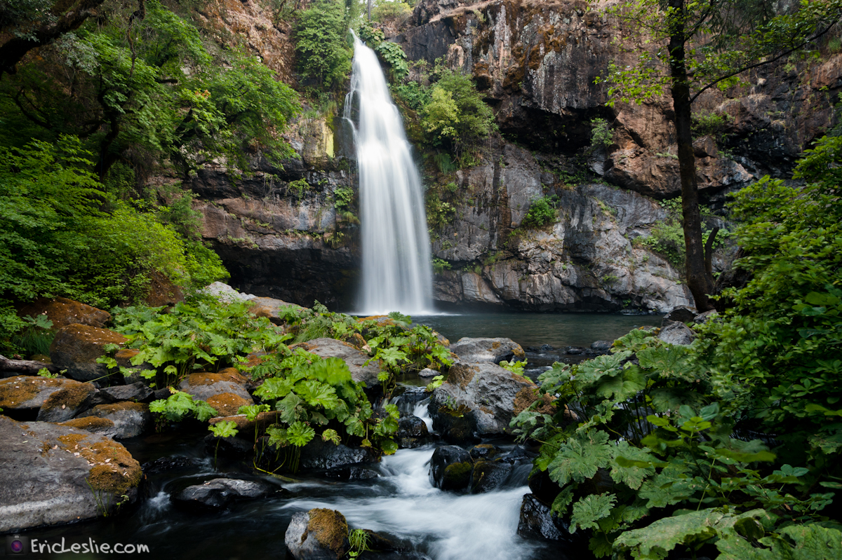
Pit Rivet Arm of Lake Shasta

_7150056.NEF

_9080256.NEF
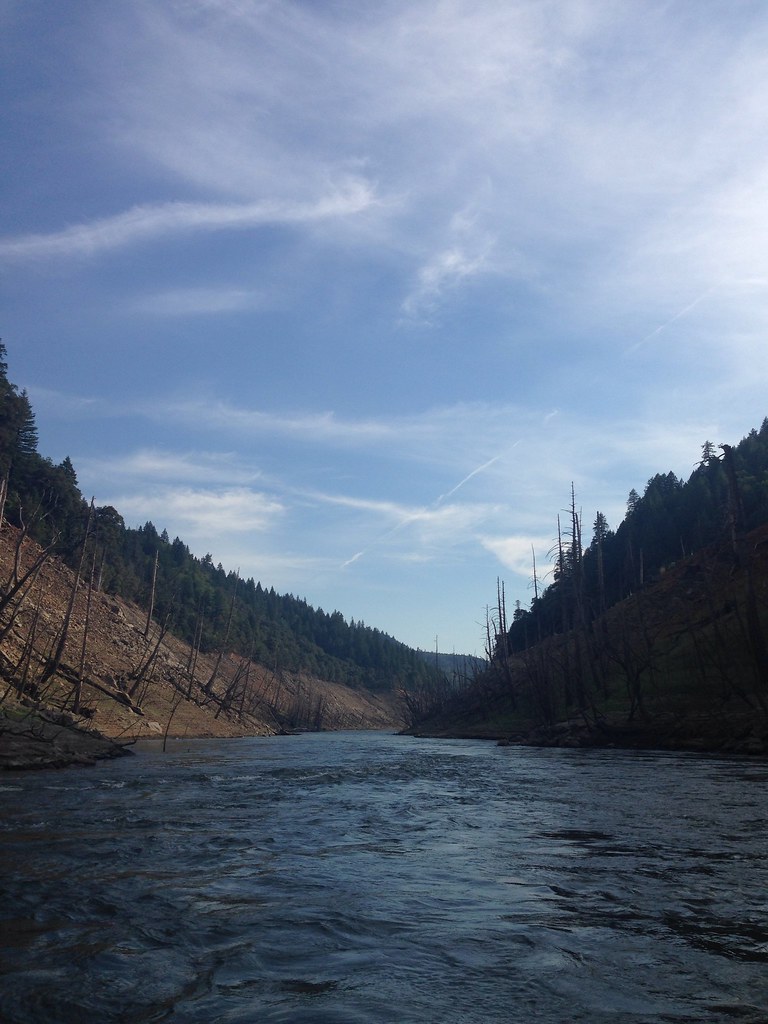
Took the boat up the river! So much fun! We spent 4 days on the boat and it was a blast. Back to work in a couple days...

_8210039.NEF

_8210034.NEF
Highway 299 [03.30.13]

Fountain Fire Vista Point [03.30.13]

Fairytale Land [03.30.13]
Ingot's Afterthought Mine [03.30.13]

Secret Turkey Spot- decoy in place

Wild turkey

Shasta County Fire Station 30

Shasta County Fire Department - Oak Run Volunteer Fire Company Station 30
Oak Run, CA 96069
Pit Rivet Arm of Lake Shasta

Redding exposures by the firelight
Redding exposures by the firelight

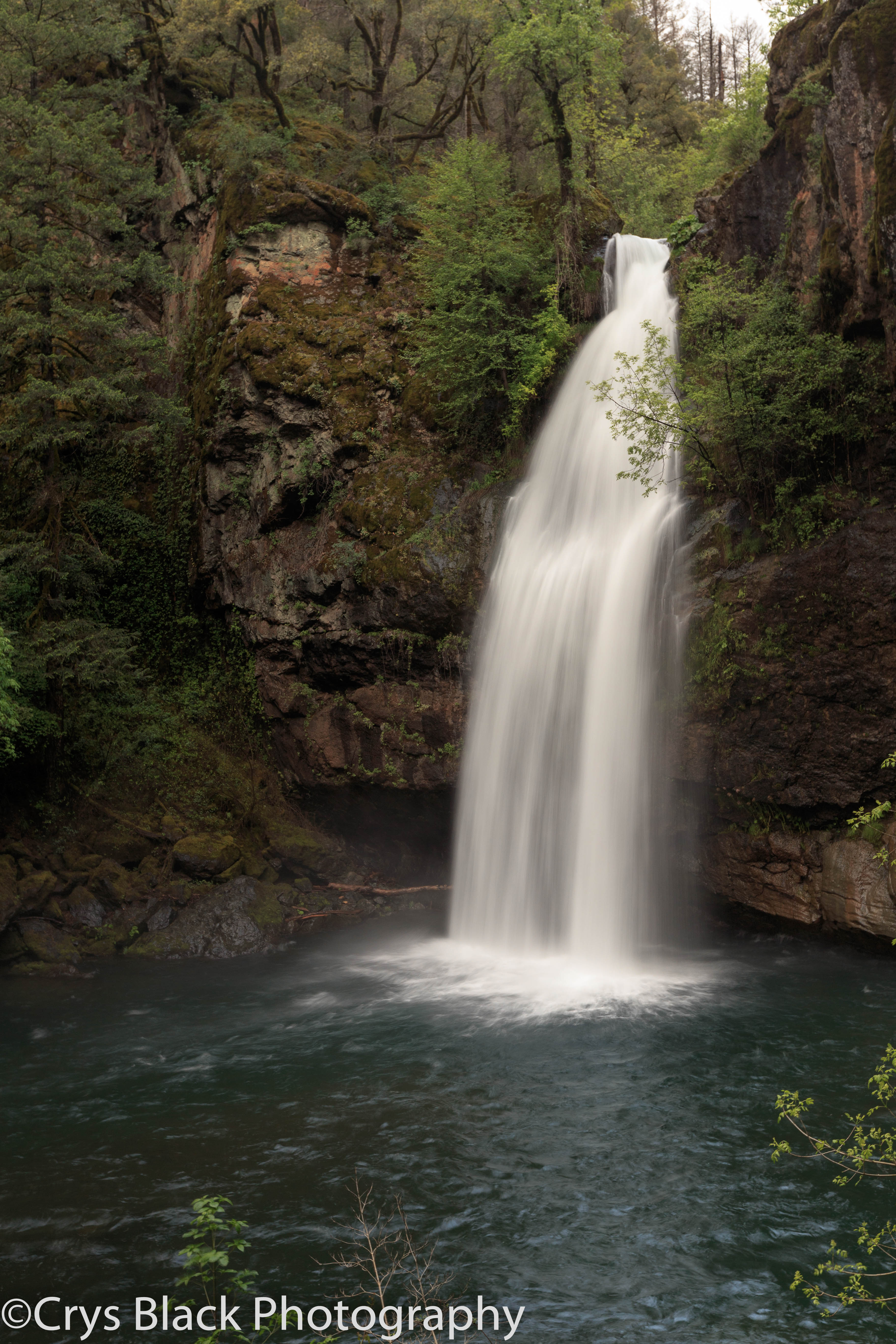
On the way to McArthur-Burney Falls

_9080265.NEF
Round Mountain, CA, USA Karte
Suchen Sie einen anderen Ort
Nahe Plätze
Hill Country Community Clinic, CA-, Round Mountain, CA, USA
Terry Mill Rd, Round Mountain, CA, USA
Dunn Moody Rd, Round Mountain, CA, USA
Mountain School Rd, Round Mountain, CA, USA
CA-, Montgomery Creek, CA, USA
Montgomery Creek, CA, USA
Hillcrest Rest Area, 40°51'51."N °53'."W, Anderossa Ln, 9, CA, USA
Redding, CA, USA
Shasta County, Kalifornien, USA
Big Bend Rd, Montgomery Creek, CA, USA
Big Bend Road, Big Bend Rd, California, USA
Big Bend Rd, Big Bend, CA, USA
Big Bend, CA, USA
Redding, Kalifornien, USA
Peridot Ln, Burney, CA, USA
Birch Ave, Burney, CA, USA
Burney, CA, USA
Burney Mountain, California, USA
Ellery Creek Campground, Lakehead, CA, Vereinigte Staaten
Garden Ln, Burney, CA, USA
Letzte Suche
- Pantai Cermin, batu 10, Jalan Pantai, Port Dickson, Melaka, Malaysia Sonnenaufgang Sonnenuntergang Zeiten
- Groblershoop, South Africa Sonnenaufgang Sonnenuntergang Zeiten
- Petriti, Griechenland Sonnenaufgang Sonnenuntergang Zeiten
- Chesaw Rd, Oroville, WA, USA Sonnenaufgang Sonnenuntergang Zeiten
- N, Mt Pleasant, UT, USA Sonnenaufgang Sonnenuntergang Zeiten
- Kawanecho Sasamado, Shimada, Shizuoka -, Japan Sonnenaufgang Sonnenuntergang Zeiten
- 6 Rue Jules Ferry, Beausoleil, Frankreich Sonnenaufgang Sonnenuntergang Zeiten
- Otxandio, Biscay, Spain Sonnenaufgang Sonnenuntergang Zeiten
- Sattva Horizon, 4JC6+G9P, Vinayak Nagar, Kattigenahalli, Bengaluru, Karnataka, Indien Sonnenaufgang Sonnenuntergang Zeiten
- 富士山, Kitayama, Fujinomiya, Präfektur Shizuoka -, Japan Sonnenaufgang Sonnenuntergang Zeiten