Richland Township, MO, USA Sonnenaufgang Sonnenuntergang Zeiten
Location: USA > Missouri > Ozark County >
Zeitzone:
America/Chicago
Ortszeit:
2024-04-27 14:02:39
Länge:
-92.2433487
Breite:
36.7393427
Sonnenaufgang Heute:
06:17:15 AM
Sonnenuntergang Heute:
07:55:25 PM
Tageslänge heute:
13h 38m 10s
Sonnenaufgang morgen:
06:16:06 AM
Sonnenuntergang Morgen:
07:56:18 PM
Tageslänge von morgen:
13h 40m 12s
Alle Termine anzeigen
| Datum | Sonnenaufgang | Sonnenuntergang | Tageslänge |
|---|---|---|---|
| 2024-01-01 | 07:21:32 AM | 05:04:00 PM | 9h 42m 28s |
| 2024-01-02 | 07:21:40 AM | 05:04:48 PM | 9h 43m 8s |
| 2024-01-03 | 07:21:46 AM | 05:05:37 PM | 9h 43m 51s |
| 2024-01-04 | 07:21:50 AM | 05:06:28 PM | 9h 44m 38s |
| 2024-01-05 | 07:21:51 AM | 05:07:19 PM | 9h 45m 28s |
| 2024-01-06 | 07:21:51 AM | 05:08:12 PM | 9h 46m 21s |
| 2024-01-07 | 07:21:49 AM | 05:09:06 PM | 9h 47m 17s |
| 2024-01-08 | 07:21:44 AM | 05:10:01 PM | 9h 48m 17s |
| 2024-01-09 | 07:21:38 AM | 05:10:56 PM | 9h 49m 18s |
| 2024-01-10 | 07:21:30 AM | 05:11:53 PM | 9h 50m 23s |
| 2024-01-11 | 07:21:19 AM | 05:12:50 PM | 9h 51m 31s |
| 2024-01-12 | 07:21:07 AM | 05:13:49 PM | 9h 52m 42s |
| 2024-01-13 | 07:20:53 AM | 05:14:48 PM | 9h 53m 55s |
| 2024-01-14 | 07:20:36 AM | 05:15:47 PM | 9h 55m 11s |
| 2024-01-15 | 07:20:18 AM | 05:16:48 PM | 9h 56m 30s |
| 2024-01-16 | 07:19:58 AM | 05:17:49 PM | 9h 57m 51s |
| 2024-01-17 | 07:19:36 AM | 05:18:50 PM | 9h 59m 14s |
| 2024-01-18 | 07:19:11 AM | 05:19:52 PM | 10h 0m 41s |
| 2024-01-19 | 07:18:45 AM | 05:20:54 PM | 10h 2m 9s |
| 2024-01-20 | 07:18:17 AM | 05:21:57 PM | 10h 3m 40s |
| 2024-01-21 | 07:17:48 AM | 05:23:00 PM | 10h 5m 12s |
| 2024-01-22 | 07:17:16 AM | 05:24:04 PM | 10h 6m 48s |
| 2024-01-23 | 07:16:42 AM | 05:25:08 PM | 10h 8m 26s |
| 2024-01-24 | 07:16:07 AM | 05:26:12 PM | 10h 10m 5s |
| 2024-01-25 | 07:15:30 AM | 05:27:16 PM | 10h 11m 46s |
| 2024-01-26 | 07:14:51 AM | 05:28:21 PM | 10h 13m 30s |
| 2024-01-27 | 07:14:10 AM | 05:29:25 PM | 10h 15m 15s |
| 2024-01-28 | 07:13:28 AM | 05:30:30 PM | 10h 17m 2s |
| 2024-01-29 | 07:12:44 AM | 05:31:34 PM | 10h 18m 50s |
| 2024-01-30 | 07:11:58 AM | 05:32:39 PM | 10h 20m 41s |
| 2024-01-31 | 07:11:11 AM | 05:33:44 PM | 10h 22m 33s |
| 2024-02-01 | 07:10:22 AM | 05:34:49 PM | 10h 24m 27s |
| 2024-02-02 | 07:09:31 AM | 05:35:53 PM | 10h 26m 22s |
| 2024-02-03 | 07:08:39 AM | 05:36:58 PM | 10h 28m 19s |
| 2024-02-04 | 07:07:45 AM | 05:38:02 PM | 10h 30m 17s |
| 2024-02-05 | 07:06:50 AM | 05:39:07 PM | 10h 32m 17s |
| 2024-02-06 | 07:05:54 AM | 05:40:11 PM | 10h 34m 17s |
| 2024-02-07 | 07:04:56 AM | 05:41:15 PM | 10h 36m 19s |
| 2024-02-08 | 07:03:56 AM | 05:42:19 PM | 10h 38m 23s |
| 2024-02-09 | 07:02:56 AM | 05:43:22 PM | 10h 40m 26s |
| 2024-02-10 | 07:01:54 AM | 05:44:26 PM | 10h 42m 32s |
| 2024-02-11 | 07:00:50 AM | 05:45:29 PM | 10h 44m 39s |
| 2024-02-12 | 06:59:46 AM | 05:46:32 PM | 10h 46m 46s |
| 2024-02-13 | 06:58:40 AM | 05:47:35 PM | 10h 48m 55s |
| 2024-02-14 | 06:57:33 AM | 05:48:37 PM | 10h 51m 4s |
| 2024-02-15 | 06:56:25 AM | 05:49:39 PM | 10h 53m 14s |
| 2024-02-16 | 06:55:15 AM | 05:50:41 PM | 10h 55m 26s |
| 2024-02-17 | 06:54:05 AM | 05:51:42 PM | 10h 57m 37s |
| 2024-02-18 | 06:52:54 AM | 05:52:43 PM | 10h 59m 49s |
| 2024-02-19 | 06:51:41 AM | 05:53:44 PM | 11h 2m 3s |
| 2024-02-20 | 06:50:28 AM | 05:54:45 PM | 11h 4m 17s |
| 2024-02-21 | 06:49:13 AM | 05:55:45 PM | 11h 6m 32s |
| 2024-02-22 | 06:47:58 AM | 05:56:45 PM | 11h 8m 47s |
| 2024-02-23 | 06:46:41 AM | 05:57:44 PM | 11h 11m 3s |
| 2024-02-24 | 06:45:24 AM | 05:58:44 PM | 11h 13m 20s |
| 2024-02-25 | 06:44:06 AM | 05:59:42 PM | 11h 15m 36s |
| 2024-02-26 | 06:42:47 AM | 06:00:41 PM | 11h 17m 54s |
| 2024-02-27 | 06:41:28 AM | 06:01:39 PM | 11h 20m 11s |
| 2024-02-28 | 06:40:07 AM | 06:02:37 PM | 11h 22m 30s |
| 2024-02-29 | 06:38:46 AM | 06:03:35 PM | 11h 24m 49s |
| 2024-03-01 | 06:37:25 AM | 06:04:32 PM | 11h 27m 7s |
| 2024-03-02 | 06:36:02 AM | 06:05:29 PM | 11h 29m 27s |
| 2024-03-03 | 06:34:39 AM | 06:06:26 PM | 11h 31m 47s |
| 2024-03-04 | 06:33:16 AM | 06:07:22 PM | 11h 34m 6s |
| 2024-03-05 | 06:31:52 AM | 06:08:18 PM | 11h 36m 26s |
| 2024-03-06 | 06:30:27 AM | 06:09:14 PM | 11h 38m 47s |
| 2024-03-07 | 06:29:02 AM | 06:10:10 PM | 11h 41m 8s |
| 2024-03-08 | 06:27:37 AM | 06:11:05 PM | 11h 43m 28s |
| 2024-03-09 | 06:26:11 AM | 06:12:00 PM | 11h 45m 49s |
| 2024-03-10 | 07:24:48 AM | 07:12:53 PM | 11h 48m 5s |
| 2024-03-11 | 07:23:21 AM | 07:13:47 PM | 11h 50m 26s |
| 2024-03-12 | 07:21:54 AM | 07:14:41 PM | 11h 52m 47s |
| 2024-03-13 | 07:20:27 AM | 07:15:36 PM | 11h 55m 9s |
| 2024-03-14 | 07:18:59 AM | 07:16:30 PM | 11h 57m 31s |
| 2024-03-15 | 07:17:31 AM | 07:17:23 PM | 11h 59m 52s |
| 2024-03-16 | 07:16:03 AM | 07:18:17 PM | 12h 2m 14s |
| 2024-03-17 | 07:14:35 AM | 07:19:10 PM | 12h 4m 35s |
| 2024-03-18 | 07:13:07 AM | 07:20:03 PM | 12h 6m 56s |
| 2024-03-19 | 07:11:38 AM | 07:20:57 PM | 12h 9m 19s |
| 2024-03-20 | 07:10:10 AM | 07:21:49 PM | 12h 11m 39s |
| 2024-03-21 | 07:08:41 AM | 07:22:42 PM | 12h 14m 1s |
| 2024-03-22 | 07:07:12 AM | 07:23:35 PM | 12h 16m 23s |
| 2024-03-23 | 07:05:43 AM | 07:24:28 PM | 12h 18m 45s |
| 2024-03-24 | 07:04:15 AM | 07:25:20 PM | 12h 21m 5s |
| 2024-03-25 | 07:02:46 AM | 07:26:12 PM | 12h 23m 26s |
| 2024-03-26 | 07:01:18 AM | 07:27:05 PM | 12h 25m 47s |
| 2024-03-27 | 06:59:49 AM | 07:27:57 PM | 12h 28m 8s |
| 2024-03-28 | 06:58:21 AM | 07:28:49 PM | 12h 30m 28s |
| 2024-03-29 | 06:56:53 AM | 07:29:41 PM | 12h 32m 48s |
| 2024-03-30 | 06:55:25 AM | 07:30:33 PM | 12h 35m 8s |
| 2024-03-31 | 06:53:57 AM | 07:31:25 PM | 12h 37m 28s |
| 2024-04-01 | 06:52:30 AM | 07:32:18 PM | 12h 39m 48s |
| 2024-04-02 | 06:51:03 AM | 07:33:10 PM | 12h 42m 7s |
| 2024-04-03 | 06:49:36 AM | 07:34:02 PM | 12h 44m 26s |
| 2024-04-04 | 06:48:10 AM | 07:34:54 PM | 12h 46m 44s |
| 2024-04-05 | 06:46:44 AM | 07:35:46 PM | 12h 49m 2s |
| 2024-04-06 | 06:45:18 AM | 07:36:38 PM | 12h 51m 20s |
| 2024-04-07 | 06:43:53 AM | 07:37:30 PM | 12h 53m 37s |
| 2024-04-08 | 06:42:28 AM | 07:38:22 PM | 12h 55m 54s |
| 2024-04-09 | 06:41:04 AM | 07:39:14 PM | 12h 58m 10s |
| 2024-04-10 | 06:39:40 AM | 07:40:07 PM | 13h 0m 27s |
| 2024-04-11 | 06:38:17 AM | 07:40:59 PM | 13h 2m 42s |
| 2024-04-12 | 06:36:54 AM | 07:41:51 PM | 13h 4m 57s |
| 2024-04-13 | 06:35:32 AM | 07:42:43 PM | 13h 7m 11s |
| 2024-04-14 | 06:34:11 AM | 07:43:36 PM | 13h 9m 25s |
| 2024-04-15 | 06:32:51 AM | 07:44:28 PM | 13h 11m 37s |
| 2024-04-16 | 06:31:31 AM | 07:45:21 PM | 13h 13m 50s |
| 2024-04-17 | 06:30:12 AM | 07:46:13 PM | 13h 16m 1s |
| 2024-04-18 | 06:28:53 AM | 07:47:06 PM | 13h 18m 13s |
| 2024-04-19 | 06:27:36 AM | 07:47:59 PM | 13h 20m 23s |
| 2024-04-20 | 06:26:19 AM | 07:48:51 PM | 13h 22m 32s |
| 2024-04-21 | 06:25:03 AM | 07:49:44 PM | 13h 24m 41s |
| 2024-04-22 | 06:23:48 AM | 07:50:37 PM | 13h 26m 49s |
| 2024-04-23 | 06:22:34 AM | 07:51:30 PM | 13h 28m 56s |
| 2024-04-24 | 06:21:21 AM | 07:52:22 PM | 13h 31m 1s |
| 2024-04-25 | 06:20:08 AM | 07:53:15 PM | 13h 33m 7s |
| 2024-04-26 | 06:18:57 AM | 07:54:08 PM | 13h 35m 11s |
| 2024-04-27 | 06:17:47 AM | 07:55:01 PM | 13h 37m 14s |
| 2024-04-28 | 06:16:38 AM | 07:55:54 PM | 13h 39m 16s |
| 2024-04-29 | 06:15:30 AM | 07:56:46 PM | 13h 41m 16s |
| 2024-04-30 | 06:14:23 AM | 07:57:39 PM | 13h 43m 16s |
| 2024-05-01 | 06:13:17 AM | 07:58:32 PM | 13h 45m 15s |
| 2024-05-02 | 06:12:12 AM | 07:59:24 PM | 13h 47m 12s |
| 2024-05-03 | 06:11:09 AM | 08:00:17 PM | 13h 49m 8s |
| 2024-05-04 | 06:10:07 AM | 08:01:09 PM | 13h 51m 2s |
| 2024-05-05 | 06:09:06 AM | 08:02:01 PM | 13h 52m 55s |
| 2024-05-06 | 06:08:06 AM | 08:02:53 PM | 13h 54m 47s |
| 2024-05-07 | 06:07:08 AM | 08:03:45 PM | 13h 56m 37s |
| 2024-05-08 | 06:06:11 AM | 08:04:37 PM | 13h 58m 26s |
| 2024-05-09 | 06:05:15 AM | 08:05:29 PM | 14h 0m 14s |
| 2024-05-10 | 06:04:21 AM | 08:06:20 PM | 14h 1m 59s |
| 2024-05-11 | 06:03:28 AM | 08:07:11 PM | 14h 3m 43s |
| 2024-05-12 | 06:02:37 AM | 08:08:01 PM | 14h 5m 24s |
| 2024-05-13 | 06:01:47 AM | 08:08:52 PM | 14h 7m 5s |
| 2024-05-14 | 06:00:59 AM | 08:09:42 PM | 14h 8m 43s |
| 2024-05-15 | 06:00:12 AM | 08:10:32 PM | 14h 10m 20s |
| 2024-05-16 | 05:59:26 AM | 08:11:21 PM | 14h 11m 55s |
| 2024-05-17 | 05:58:42 AM | 08:12:10 PM | 14h 13m 28s |
| 2024-05-18 | 05:58:00 AM | 08:12:58 PM | 14h 14m 58s |
| 2024-05-19 | 05:57:19 AM | 08:13:46 PM | 14h 16m 27s |
| 2024-05-20 | 05:56:40 AM | 08:14:33 PM | 14h 17m 53s |
| 2024-05-21 | 05:56:02 AM | 08:15:20 PM | 14h 19m 18s |
| 2024-05-22 | 05:55:27 AM | 08:16:06 PM | 14h 20m 39s |
| 2024-05-23 | 05:54:52 AM | 08:16:52 PM | 14h 22m 0s |
| 2024-05-24 | 05:54:20 AM | 08:17:36 PM | 14h 23m 16s |
| 2024-05-25 | 05:53:49 AM | 08:18:20 PM | 14h 24m 31s |
| 2024-05-26 | 05:53:20 AM | 08:19:04 PM | 14h 25m 44s |
| 2024-05-27 | 05:52:52 AM | 08:19:46 PM | 14h 26m 54s |
| 2024-05-28 | 05:52:26 AM | 08:20:28 PM | 14h 28m 2s |
| 2024-05-29 | 05:52:02 AM | 08:21:09 PM | 14h 29m 7s |
| 2024-05-30 | 05:51:40 AM | 08:21:49 PM | 14h 30m 9s |
| 2024-05-31 | 05:51:20 AM | 08:22:28 PM | 14h 31m 8s |
| 2024-06-01 | 05:51:01 AM | 08:23:06 PM | 14h 32m 5s |
| 2024-06-02 | 05:50:44 AM | 08:23:43 PM | 14h 32m 59s |
| 2024-06-03 | 05:50:28 AM | 08:24:19 PM | 14h 33m 51s |
| 2024-06-04 | 05:50:15 AM | 08:24:54 PM | 14h 34m 39s |
| 2024-06-05 | 05:50:03 AM | 08:25:28 PM | 14h 35m 25s |
| 2024-06-06 | 05:49:53 AM | 08:26:01 PM | 14h 36m 8s |
| 2024-06-07 | 05:49:44 AM | 08:26:32 PM | 14h 36m 48s |
| 2024-06-08 | 05:49:38 AM | 08:27:02 PM | 14h 37m 24s |
| 2024-06-09 | 05:49:33 AM | 08:27:31 PM | 14h 37m 58s |
| 2024-06-10 | 05:49:30 AM | 08:27:59 PM | 14h 38m 29s |
| 2024-06-11 | 05:49:28 AM | 08:28:25 PM | 14h 38m 57s |
| 2024-06-12 | 05:49:29 AM | 08:28:50 PM | 14h 39m 21s |
| 2024-06-13 | 05:49:30 AM | 08:29:14 PM | 14h 39m 44s |
| 2024-06-14 | 05:49:34 AM | 08:29:36 PM | 14h 40m 2s |
| 2024-06-15 | 05:49:39 AM | 08:29:57 PM | 14h 40m 18s |
| 2024-06-16 | 05:49:46 AM | 08:30:16 PM | 14h 40m 30s |
| 2024-06-17 | 05:49:55 AM | 08:30:33 PM | 14h 40m 38s |
| 2024-06-18 | 05:50:05 AM | 08:30:49 PM | 14h 40m 44s |
| 2024-06-19 | 05:50:16 AM | 08:31:04 PM | 14h 40m 48s |
| 2024-06-20 | 05:50:30 AM | 08:31:17 PM | 14h 40m 47s |
| 2024-06-21 | 05:50:44 AM | 08:31:28 PM | 14h 40m 44s |
| 2024-06-22 | 05:51:01 AM | 08:31:38 PM | 14h 40m 37s |
| 2024-06-23 | 05:51:18 AM | 08:31:46 PM | 14h 40m 28s |
| 2024-06-24 | 05:51:38 AM | 08:31:52 PM | 14h 40m 14s |
| 2024-06-25 | 05:51:58 AM | 08:31:56 PM | 14h 39m 58s |
| 2024-06-26 | 05:52:20 AM | 08:31:59 PM | 14h 39m 39s |
| 2024-06-27 | 05:52:44 AM | 08:32:00 PM | 14h 39m 16s |
| 2024-06-28 | 05:53:08 AM | 08:32:00 PM | 14h 38m 52s |
| 2024-06-29 | 05:53:34 AM | 08:31:57 PM | 14h 38m 23s |
| 2024-06-30 | 05:54:01 AM | 08:31:53 PM | 14h 37m 52s |
| 2024-07-01 | 05:54:30 AM | 08:31:47 PM | 14h 37m 17s |
| 2024-07-02 | 05:54:59 AM | 08:31:40 PM | 14h 36m 41s |
| 2024-07-03 | 05:55:30 AM | 08:31:30 PM | 14h 36m 0s |
| 2024-07-04 | 05:56:02 AM | 08:31:19 PM | 14h 35m 17s |
| 2024-07-05 | 05:56:35 AM | 08:31:06 PM | 14h 34m 31s |
| 2024-07-06 | 05:57:09 AM | 08:30:51 PM | 14h 33m 42s |
| 2024-07-07 | 05:57:44 AM | 08:30:35 PM | 14h 32m 51s |
| 2024-07-08 | 05:58:20 AM | 08:30:16 PM | 14h 31m 56s |
| 2024-07-09 | 05:58:57 AM | 08:29:56 PM | 14h 30m 59s |
| 2024-07-10 | 05:59:35 AM | 08:29:34 PM | 14h 29m 59s |
| 2024-07-11 | 06:00:14 AM | 08:29:10 PM | 14h 28m 56s |
| 2024-07-12 | 06:00:53 AM | 08:28:45 PM | 14h 27m 52s |
| 2024-07-13 | 06:01:33 AM | 08:28:18 PM | 14h 26m 45s |
| 2024-07-14 | 06:02:14 AM | 08:27:49 PM | 14h 25m 35s |
| 2024-07-15 | 06:02:56 AM | 08:27:18 PM | 14h 24m 22s |
| 2024-07-16 | 06:03:38 AM | 08:26:45 PM | 14h 23m 7s |
| 2024-07-17 | 06:04:21 AM | 08:26:11 PM | 14h 21m 50s |
| 2024-07-18 | 06:05:05 AM | 08:25:35 PM | 14h 20m 30s |
| 2024-07-19 | 06:05:49 AM | 08:24:58 PM | 14h 19m 9s |
| 2024-07-20 | 06:06:34 AM | 08:24:19 PM | 14h 17m 45s |
| 2024-07-21 | 06:07:19 AM | 08:23:38 PM | 14h 16m 19s |
| 2024-07-22 | 06:08:05 AM | 08:22:56 PM | 14h 14m 51s |
| 2024-07-23 | 06:08:51 AM | 08:22:12 PM | 14h 13m 21s |
| 2024-07-24 | 06:09:37 AM | 08:21:26 PM | 14h 11m 49s |
| 2024-07-25 | 06:10:24 AM | 08:20:39 PM | 14h 10m 15s |
| 2024-07-26 | 06:11:11 AM | 08:19:50 PM | 14h 8m 39s |
| 2024-07-27 | 06:11:59 AM | 08:19:00 PM | 14h 7m 1s |
| 2024-07-28 | 06:12:46 AM | 08:18:08 PM | 14h 5m 22s |
| 2024-07-29 | 06:13:34 AM | 08:17:15 PM | 14h 3m 41s |
| 2024-07-30 | 06:14:23 AM | 08:16:20 PM | 14h 1m 57s |
| 2024-07-31 | 06:15:11 AM | 08:15:24 PM | 14h 0m 13s |
| 2024-08-01 | 06:16:00 AM | 08:14:27 PM | 13h 58m 27s |
| 2024-08-02 | 06:16:48 AM | 08:13:28 PM | 13h 56m 40s |
| 2024-08-03 | 06:17:37 AM | 08:12:28 PM | 13h 54m 51s |
| 2024-08-04 | 06:18:26 AM | 08:11:26 PM | 13h 53m 0s |
| 2024-08-05 | 06:19:15 AM | 08:10:24 PM | 13h 51m 9s |
| 2024-08-06 | 06:20:05 AM | 08:09:20 PM | 13h 49m 15s |
| 2024-08-07 | 06:20:54 AM | 08:08:14 PM | 13h 47m 20s |
| 2024-08-08 | 06:21:43 AM | 08:07:08 PM | 13h 45m 25s |
| 2024-08-09 | 06:22:33 AM | 08:06:00 PM | 13h 43m 27s |
| 2024-08-10 | 06:23:22 AM | 08:04:52 PM | 13h 41m 30s |
| 2024-08-11 | 06:24:11 AM | 08:03:42 PM | 13h 39m 31s |
| 2024-08-12 | 06:25:00 AM | 08:02:31 PM | 13h 37m 31s |
| 2024-08-13 | 06:25:50 AM | 08:01:19 PM | 13h 35m 29s |
| 2024-08-14 | 06:26:39 AM | 08:00:06 PM | 13h 33m 27s |
| 2024-08-15 | 06:27:28 AM | 07:58:51 PM | 13h 31m 23s |
| 2024-08-16 | 06:28:17 AM | 07:57:36 PM | 13h 29m 19s |
| 2024-08-17 | 06:29:06 AM | 07:56:20 PM | 13h 27m 14s |
| 2024-08-18 | 06:29:56 AM | 07:55:03 PM | 13h 25m 7s |
| 2024-08-19 | 06:30:44 AM | 07:53:46 PM | 13h 23m 2s |
| 2024-08-20 | 06:31:33 AM | 07:52:27 PM | 13h 20m 54s |
| 2024-08-21 | 06:32:22 AM | 07:51:07 PM | 13h 18m 45s |
| 2024-08-22 | 06:33:11 AM | 07:49:47 PM | 13h 16m 36s |
| 2024-08-23 | 06:34:00 AM | 07:48:26 PM | 13h 14m 26s |
| 2024-08-24 | 06:34:48 AM | 07:47:04 PM | 13h 12m 16s |
| 2024-08-25 | 06:35:37 AM | 07:45:42 PM | 13h 10m 5s |
| 2024-08-26 | 06:36:25 AM | 07:44:18 PM | 13h 7m 53s |
| 2024-08-27 | 06:37:13 AM | 07:42:54 PM | 13h 5m 41s |
| 2024-08-28 | 06:38:02 AM | 07:41:30 PM | 13h 3m 28s |
| 2024-08-29 | 06:38:50 AM | 07:40:05 PM | 13h 1m 15s |
| 2024-08-30 | 06:39:38 AM | 07:38:39 PM | 12h 59m 1s |
| 2024-08-31 | 06:40:26 AM | 07:37:13 PM | 12h 56m 47s |
| 2024-09-01 | 06:41:14 AM | 07:35:46 PM | 12h 54m 32s |
| 2024-09-02 | 06:42:02 AM | 07:34:19 PM | 12h 52m 17s |
| 2024-09-03 | 06:42:50 AM | 07:32:51 PM | 12h 50m 1s |
| 2024-09-04 | 06:43:38 AM | 07:31:23 PM | 12h 47m 45s |
| 2024-09-05 | 06:44:25 AM | 07:29:55 PM | 12h 45m 30s |
| 2024-09-06 | 06:45:13 AM | 07:28:26 PM | 12h 43m 13s |
| 2024-09-07 | 06:46:01 AM | 07:26:57 PM | 12h 40m 56s |
| 2024-09-08 | 06:46:49 AM | 07:25:27 PM | 12h 38m 38s |
| 2024-09-09 | 06:47:36 AM | 07:23:58 PM | 12h 36m 22s |
| 2024-09-10 | 06:48:24 AM | 07:22:28 PM | 12h 34m 4s |
| 2024-09-11 | 06:49:12 AM | 07:20:57 PM | 12h 31m 45s |
| 2024-09-12 | 06:50:00 AM | 07:19:27 PM | 12h 29m 27s |
| 2024-09-13 | 06:50:47 AM | 07:17:56 PM | 12h 27m 9s |
| 2024-09-14 | 06:51:35 AM | 07:16:26 PM | 12h 24m 51s |
| 2024-09-15 | 06:52:23 AM | 07:14:55 PM | 12h 22m 32s |
| 2024-09-16 | 06:53:11 AM | 07:13:24 PM | 12h 20m 13s |
| 2024-09-17 | 06:53:59 AM | 07:11:53 PM | 12h 17m 54s |
| 2024-09-18 | 06:54:48 AM | 07:10:22 PM | 12h 15m 34s |
| 2024-09-19 | 06:55:36 AM | 07:08:51 PM | 12h 13m 15s |
| 2024-09-20 | 06:56:24 AM | 07:07:20 PM | 12h 10m 56s |
| 2024-09-21 | 06:57:13 AM | 07:05:49 PM | 12h 8m 36s |
| 2024-09-22 | 06:58:01 AM | 07:04:18 PM | 12h 6m 17s |
| 2024-09-23 | 06:58:50 AM | 07:02:48 PM | 12h 3m 58s |
| 2024-09-24 | 06:59:39 AM | 07:01:17 PM | 12h 1m 38s |
| 2024-09-25 | 07:00:28 AM | 06:59:47 PM | 11h 59m 19s |
| 2024-09-26 | 07:01:18 AM | 06:58:17 PM | 11h 56m 59s |
| 2024-09-27 | 07:02:07 AM | 06:56:47 PM | 11h 54m 40s |
| 2024-09-28 | 07:02:57 AM | 06:55:18 PM | 11h 52m 21s |
| 2024-09-29 | 07:03:47 AM | 06:53:48 PM | 11h 50m 1s |
| 2024-09-30 | 07:04:37 AM | 06:52:19 PM | 11h 47m 42s |
| 2024-10-01 | 07:05:28 AM | 06:50:51 PM | 11h 45m 23s |
| 2024-10-02 | 07:06:18 AM | 06:49:23 PM | 11h 43m 5s |
| 2024-10-03 | 07:07:09 AM | 06:47:55 PM | 11h 40m 46s |
| 2024-10-04 | 07:08:01 AM | 06:46:28 PM | 11h 38m 27s |
| 2024-10-05 | 07:08:52 AM | 06:45:01 PM | 11h 36m 9s |
| 2024-10-06 | 07:09:44 AM | 06:43:35 PM | 11h 33m 51s |
| 2024-10-07 | 07:10:36 AM | 06:42:09 PM | 11h 31m 33s |
| 2024-10-08 | 07:11:29 AM | 06:40:44 PM | 11h 29m 15s |
| 2024-10-09 | 07:12:21 AM | 06:39:19 PM | 11h 26m 58s |
| 2024-10-10 | 07:13:14 AM | 06:37:55 PM | 11h 24m 41s |
| 2024-10-11 | 07:14:08 AM | 06:36:32 PM | 11h 22m 24s |
| 2024-10-12 | 07:15:01 AM | 06:35:09 PM | 11h 20m 8s |
| 2024-10-13 | 07:15:55 AM | 06:33:48 PM | 11h 17m 53s |
| 2024-10-14 | 07:16:50 AM | 06:32:27 PM | 11h 15m 37s |
| 2024-10-15 | 07:17:45 AM | 06:31:06 PM | 11h 13m 21s |
| 2024-10-16 | 07:18:40 AM | 06:29:47 PM | 11h 11m 7s |
| 2024-10-17 | 07:19:35 AM | 06:28:28 PM | 11h 8m 53s |
| 2024-10-18 | 07:20:31 AM | 06:27:11 PM | 11h 6m 40s |
| 2024-10-19 | 07:21:27 AM | 06:25:54 PM | 11h 4m 27s |
| 2024-10-20 | 07:22:24 AM | 06:24:38 PM | 11h 2m 14s |
| 2024-10-21 | 07:23:20 AM | 06:23:24 PM | 11h 0m 4s |
| 2024-10-22 | 07:24:18 AM | 06:22:10 PM | 10h 57m 52s |
| 2024-10-23 | 07:25:15 AM | 06:20:57 PM | 10h 55m 42s |
| 2024-10-24 | 07:26:13 AM | 06:19:45 PM | 10h 53m 32s |
| 2024-10-25 | 07:27:11 AM | 06:18:35 PM | 10h 51m 24s |
| 2024-10-26 | 07:28:10 AM | 06:17:26 PM | 10h 49m 16s |
| 2024-10-27 | 07:29:09 AM | 06:16:17 PM | 10h 47m 8s |
| 2024-10-28 | 07:30:08 AM | 06:15:11 PM | 10h 45m 3s |
| 2024-10-29 | 07:31:07 AM | 06:14:05 PM | 10h 42m 58s |
| 2024-10-30 | 07:32:07 AM | 06:13:00 PM | 10h 40m 53s |
| 2024-10-31 | 07:33:07 AM | 06:11:57 PM | 10h 38m 50s |
| 2024-11-01 | 07:34:07 AM | 06:10:56 PM | 10h 36m 49s |
| 2024-11-02 | 07:35:08 AM | 06:09:55 PM | 10h 34m 47s |
| 2024-11-03 | 06:36:11 AM | 05:08:54 PM | 10h 32m 43s |
| 2024-11-04 | 06:37:12 AM | 05:07:56 PM | 10h 30m 44s |
| 2024-11-05 | 06:38:13 AM | 05:07:00 PM | 10h 28m 47s |
| 2024-11-06 | 06:39:15 AM | 05:06:06 PM | 10h 26m 51s |
| 2024-11-07 | 06:40:16 AM | 05:05:13 PM | 10h 24m 57s |
| 2024-11-08 | 06:41:18 AM | 05:04:22 PM | 10h 23m 4s |
| 2024-11-09 | 06:42:19 AM | 05:03:32 PM | 10h 21m 13s |
| 2024-11-10 | 06:43:21 AM | 05:02:44 PM | 10h 19m 23s |
| 2024-11-11 | 06:44:23 AM | 05:01:58 PM | 10h 17m 35s |
| 2024-11-12 | 06:45:25 AM | 05:01:13 PM | 10h 15m 48s |
| 2024-11-13 | 06:46:27 AM | 05:00:30 PM | 10h 14m 3s |
| 2024-11-14 | 06:47:28 AM | 04:59:48 PM | 10h 12m 20s |
| 2024-11-15 | 06:48:30 AM | 04:59:09 PM | 10h 10m 39s |
| 2024-11-16 | 06:49:31 AM | 04:58:31 PM | 10h 9m 0s |
| 2024-11-17 | 06:50:33 AM | 04:57:55 PM | 10h 7m 22s |
| 2024-11-18 | 06:51:34 AM | 04:57:21 PM | 10h 5m 47s |
| 2024-11-19 | 06:52:35 AM | 04:56:49 PM | 10h 4m 14s |
| 2024-11-20 | 06:53:36 AM | 04:56:19 PM | 10h 2m 43s |
| 2024-11-21 | 06:54:36 AM | 04:55:50 PM | 10h 1m 14s |
| 2024-11-22 | 06:55:36 AM | 04:55:24 PM | 9h 59m 48s |
| 2024-11-23 | 06:56:35 AM | 04:54:59 PM | 9h 58m 24s |
| 2024-11-24 | 06:57:34 AM | 04:54:37 PM | 9h 57m 3s |
| 2024-11-25 | 06:58:33 AM | 04:54:16 PM | 9h 55m 43s |
| 2024-11-26 | 06:59:31 AM | 04:53:58 PM | 9h 54m 27s |
| 2024-11-27 | 07:00:29 AM | 04:53:41 PM | 9h 53m 12s |
| 2024-11-28 | 07:01:25 AM | 04:53:27 PM | 9h 52m 2s |
| 2024-11-29 | 07:02:22 AM | 04:53:14 PM | 9h 50m 52s |
| 2024-11-30 | 07:03:17 AM | 04:53:04 PM | 9h 49m 47s |
| 2024-12-01 | 07:04:12 AM | 04:52:55 PM | 9h 48m 43s |
| 2024-12-02 | 07:05:05 AM | 04:52:49 PM | 9h 47m 44s |
| 2024-12-03 | 07:05:58 AM | 04:52:45 PM | 9h 46m 47s |
| 2024-12-04 | 07:06:50 AM | 04:52:42 PM | 9h 45m 52s |
| 2024-12-05 | 07:07:41 AM | 04:52:42 PM | 9h 45m 1s |
| 2024-12-06 | 07:08:31 AM | 04:52:44 PM | 9h 44m 13s |
| 2024-12-07 | 07:09:20 AM | 04:52:48 PM | 9h 43m 28s |
| 2024-12-08 | 07:10:08 AM | 04:52:54 PM | 9h 42m 46s |
| 2024-12-09 | 07:10:54 AM | 04:53:02 PM | 9h 42m 8s |
| 2024-12-10 | 07:11:39 AM | 04:53:12 PM | 9h 41m 33s |
| 2024-12-11 | 07:12:23 AM | 04:53:24 PM | 9h 41m 1s |
| 2024-12-12 | 07:13:06 AM | 04:53:38 PM | 9h 40m 32s |
| 2024-12-13 | 07:13:47 AM | 04:53:54 PM | 9h 40m 7s |
| 2024-12-14 | 07:14:27 AM | 04:54:12 PM | 9h 39m 45s |
| 2024-12-15 | 07:15:06 AM | 04:54:32 PM | 9h 39m 26s |
| 2024-12-16 | 07:15:42 AM | 04:54:54 PM | 9h 39m 12s |
| 2024-12-17 | 07:16:18 AM | 04:55:17 PM | 9h 38m 59s |
| 2024-12-18 | 07:16:52 AM | 04:55:43 PM | 9h 38m 51s |
| 2024-12-19 | 07:17:24 AM | 04:56:10 PM | 9h 38m 46s |
| 2024-12-20 | 07:17:54 AM | 04:56:39 PM | 9h 38m 45s |
| 2024-12-21 | 07:18:23 AM | 04:57:10 PM | 9h 38m 47s |
| 2024-12-22 | 07:18:50 AM | 04:57:43 PM | 9h 38m 53s |
| 2024-12-23 | 07:19:15 AM | 04:58:17 PM | 9h 39m 2s |
| 2024-12-24 | 07:19:39 AM | 04:58:53 PM | 9h 39m 14s |
| 2024-12-25 | 07:20:00 AM | 04:59:31 PM | 9h 39m 31s |
| 2024-12-26 | 07:20:20 AM | 05:00:10 PM | 9h 39m 50s |
| 2024-12-27 | 07:20:38 AM | 05:00:51 PM | 9h 40m 13s |
| 2024-12-28 | 07:20:54 AM | 05:01:33 PM | 9h 40m 39s |
| 2024-12-29 | 07:21:08 AM | 05:02:17 PM | 9h 41m 9s |
| 2024-12-30 | 07:21:20 AM | 05:03:02 PM | 9h 41m 42s |
Fotos
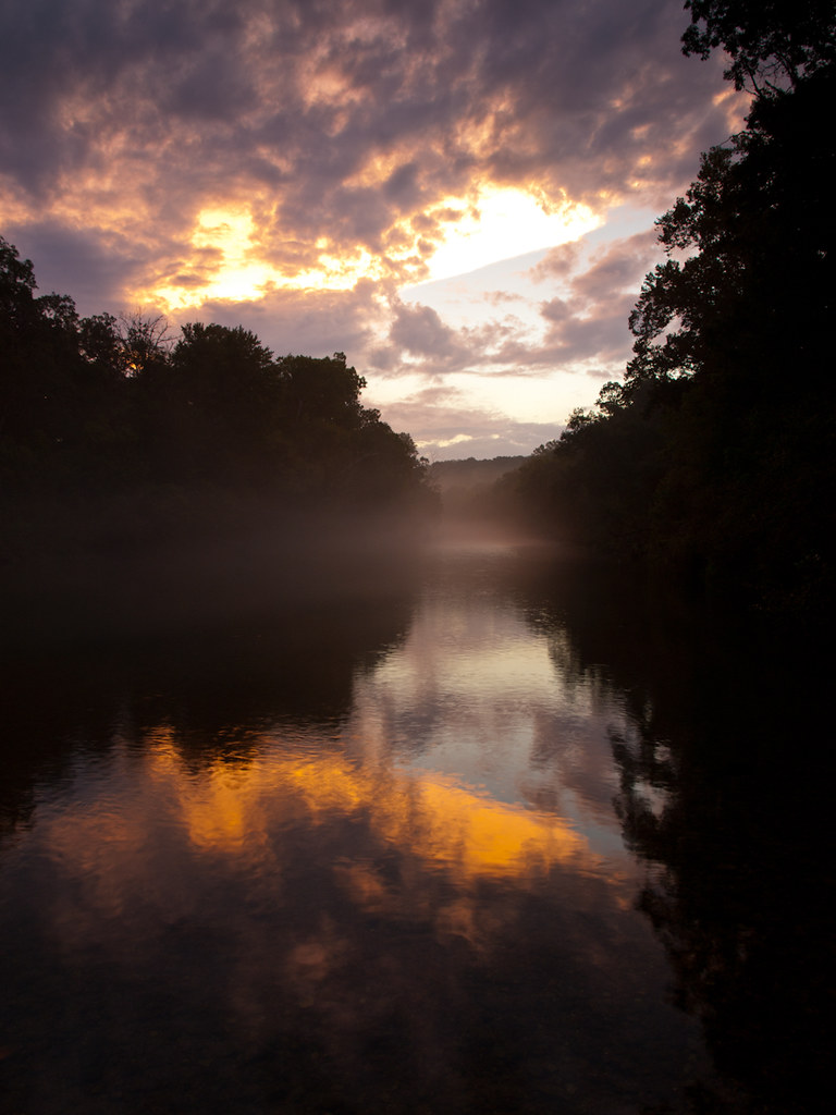
White River
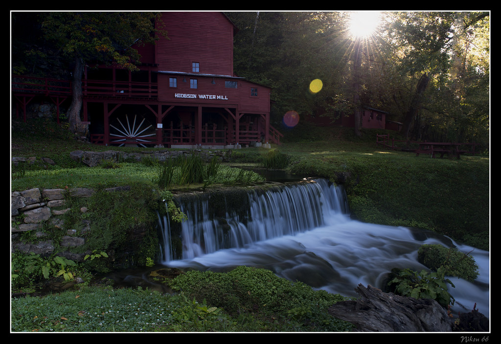
Hodgson Water Mill - Sunburst through the Trees

Camping by the North Fork River - Devils Backbone Wilderness
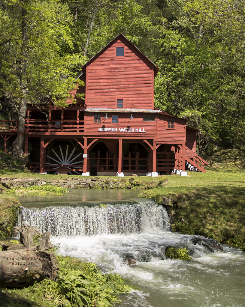
Hodgson Water Mill

Hodgson Water Mill
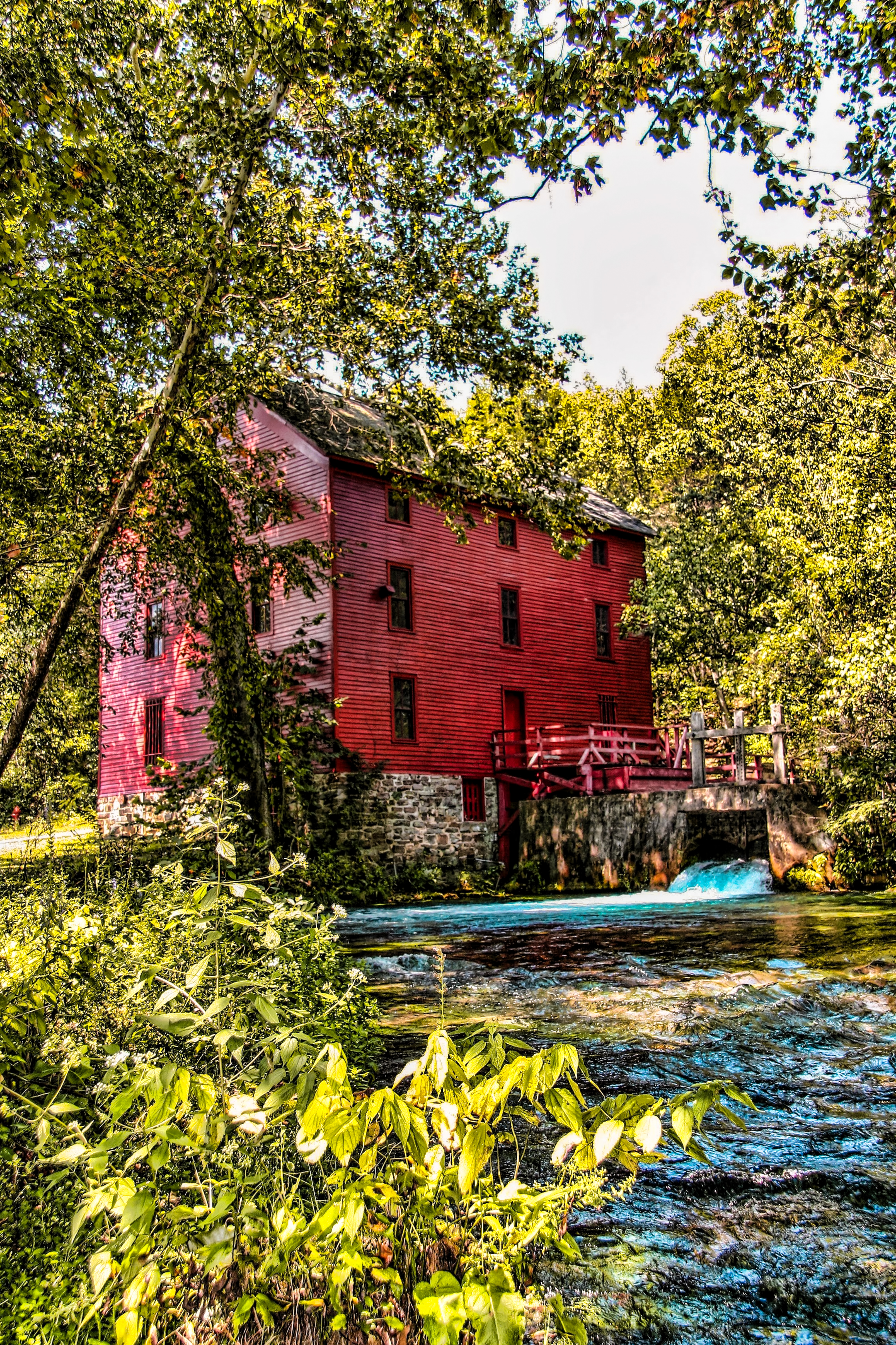
Alley Spring Mill
October 1, 2015 | Lane Spring | Phelps County MO
October 1, 2015 | Overlooking Lane Spring | Phelps County MO
October 1, 2015 | This way to Lane Spring | Phelps County MO
Hodgson Mill, Ozark County, Missouri
Rockbridge Mill
At the landing (finally)
What the heck izzit?
What the heck izzit?

Me in the White River trying to explain to my mom how to take a picture. #summer #vacation #whiteriver #swimming #exasperated #nomomtheotherbutton #theoneonthescreen #didyoutakeapicture #jeez
Richland Township, MO, USA Karte
Suchen Sie einen anderen Ort
Orte in Richland Township, MO, USA
Nahe Plätze
Dora, MO, USA
County Road, Co Rd, Tecumseh, MO, USA
45 Trigger Ln, Tecumseh, MO, USA
State Hwy H, Caulfield, MO, USA
Pine Creek Township, MO, USA
Co Rd, Caulfield, MO, USA
Dawt Township, MO, USA
Jackson Township, MO, USA
Bayou II Township, Missouri, USA
Ozark County, Missouri, USA
Tecumseh, MO, USA
Co Rd, Caulfield, MO, USA
Bryan Township, MO, USA
Caulfield, MO, USA
MO-, Caulfield, MO, USA
Hardenville, MO, USA
Spring Creek Township, MO, USA
Hansen Ln, Gainesville, MO, USA
Drury, MO, USA
Champion Township, MO, USA
Letzte Suche
- San Telmo, Autonomen Stadt Buenos Aires, Argentinien Sonnenaufgang Sonnenuntergang Zeiten
- Congressional Dr, Stevensville, MD, USA Sonnenaufgang Sonnenuntergang Zeiten
- Papingo 04, Griechenland Sonnenaufgang Sonnenuntergang Zeiten
- Pagonija rock, Kranto 7-oji g. 8"N, Kaunas, Lithuania Sonnenaufgang Sonnenuntergang Zeiten
- Co Rd 87, Jamestown, CO, USA Sonnenaufgang Sonnenuntergang Zeiten
- Tenjo, Cundinamarca, Colombia Sonnenaufgang Sonnenuntergang Zeiten
- -1 Gosho, Ichihara, Chiba -, Japan Sonnenaufgang Sonnenuntergang Zeiten
- -, Japan Sonnenaufgang Sonnenuntergang Zeiten
- Spaceport America, Co Rd A, Truth or Consequences, NM, USA Sonnenaufgang Sonnenuntergang Zeiten
- Warwick, Rhode Island, USA Sonnenaufgang Sonnenuntergang Zeiten