Reyes Peak, California, USA Sonnenaufgang Sonnenuntergang Zeiten
Location: USA > Kalifornien > Maricopa >
Zeitzone:
America/Los_Angeles
Ortszeit:
2024-05-01 06:46:00
Länge:
-119.2815026
Breite:
34.6308192
Sonnenaufgang Heute:
06:05:41 AM
Sonnenuntergang Heute:
07:42:32 PM
Tageslänge heute:
13h 36m 51s
Sonnenaufgang morgen:
06:04:41 AM
Sonnenuntergang Morgen:
07:43:20 PM
Tageslänge von morgen:
13h 38m 39s
Alle Termine anzeigen
| Datum | Sonnenaufgang | Sonnenuntergang | Tageslänge |
|---|---|---|---|
| 2024-01-01 | 07:04:12 AM | 04:57:47 PM | 9h 53m 35s |
| 2024-01-02 | 07:04:21 AM | 04:58:34 PM | 9h 54m 13s |
| 2024-01-03 | 07:04:28 AM | 04:59:22 PM | 9h 54m 54s |
| 2024-01-04 | 07:04:34 AM | 05:00:10 PM | 9h 55m 36s |
| 2024-01-05 | 07:04:37 AM | 05:01:00 PM | 9h 56m 23s |
| 2024-01-06 | 07:04:39 AM | 05:01:51 PM | 9h 57m 12s |
| 2024-01-07 | 07:04:39 AM | 05:02:43 PM | 9h 58m 4s |
| 2024-01-08 | 07:04:36 AM | 05:03:35 PM | 9h 58m 59s |
| 2024-01-09 | 07:04:32 AM | 05:04:28 PM | 9h 59m 56s |
| 2024-01-10 | 07:04:26 AM | 05:05:22 PM | 10h 0m 56s |
| 2024-01-11 | 07:04:18 AM | 05:06:17 PM | 10h 1m 59s |
| 2024-01-12 | 07:04:09 AM | 05:07:13 PM | 10h 3m 4s |
| 2024-01-13 | 07:03:57 AM | 05:08:09 PM | 10h 4m 12s |
| 2024-01-14 | 07:03:43 AM | 05:09:06 PM | 10h 5m 23s |
| 2024-01-15 | 07:03:28 AM | 05:10:03 PM | 10h 6m 35s |
| 2024-01-16 | 07:03:11 AM | 05:11:00 PM | 10h 7m 49s |
| 2024-01-17 | 07:02:51 AM | 05:11:59 PM | 10h 9m 8s |
| 2024-01-18 | 07:02:30 AM | 05:12:57 PM | 10h 10m 27s |
| 2024-01-19 | 07:02:08 AM | 05:13:56 PM | 10h 11m 48s |
| 2024-01-20 | 07:01:43 AM | 05:14:55 PM | 10h 13m 12s |
| 2024-01-21 | 07:01:17 AM | 05:15:55 PM | 10h 14m 38s |
| 2024-01-22 | 07:00:48 AM | 05:16:55 PM | 10h 16m 7s |
| 2024-01-23 | 07:00:18 AM | 05:17:55 PM | 10h 17m 37s |
| 2024-01-24 | 06:59:47 AM | 05:18:55 PM | 10h 19m 8s |
| 2024-01-25 | 06:59:13 AM | 05:19:55 PM | 10h 20m 42s |
| 2024-01-26 | 06:58:38 AM | 05:20:55 PM | 10h 22m 17s |
| 2024-01-27 | 06:58:01 AM | 05:21:56 PM | 10h 23m 55s |
| 2024-01-28 | 06:57:23 AM | 05:22:56 PM | 10h 25m 33s |
| 2024-01-29 | 06:56:43 AM | 05:23:57 PM | 10h 27m 14s |
| 2024-01-30 | 06:56:01 AM | 05:24:57 PM | 10h 28m 56s |
| 2024-01-31 | 06:55:18 AM | 05:25:57 PM | 10h 30m 39s |
| 2024-02-01 | 06:54:33 AM | 05:26:58 PM | 10h 32m 25s |
| 2024-02-02 | 06:53:47 AM | 05:27:58 PM | 10h 34m 11s |
| 2024-02-03 | 06:52:59 AM | 05:28:58 PM | 10h 35m 59s |
| 2024-02-04 | 06:52:10 AM | 05:29:58 PM | 10h 37m 48s |
| 2024-02-05 | 06:51:19 AM | 05:30:57 PM | 10h 39m 38s |
| 2024-02-06 | 06:50:27 AM | 05:31:57 PM | 10h 41m 30s |
| 2024-02-07 | 06:49:34 AM | 05:32:56 PM | 10h 43m 22s |
| 2024-02-08 | 06:48:39 AM | 05:33:55 PM | 10h 45m 16s |
| 2024-02-09 | 06:47:43 AM | 05:34:54 PM | 10h 47m 11s |
| 2024-02-10 | 06:46:45 AM | 05:35:52 PM | 10h 49m 7s |
| 2024-02-11 | 06:45:47 AM | 05:36:51 PM | 10h 51m 4s |
| 2024-02-12 | 06:44:47 AM | 05:37:49 PM | 10h 53m 2s |
| 2024-02-13 | 06:43:46 AM | 05:38:46 PM | 10h 55m 0s |
| 2024-02-14 | 06:42:44 AM | 05:39:44 PM | 10h 57m 0s |
| 2024-02-15 | 06:41:40 AM | 05:40:41 PM | 10h 59m 1s |
| 2024-02-16 | 06:40:36 AM | 05:41:37 PM | 11h 1m 1s |
| 2024-02-17 | 06:39:30 AM | 05:42:34 PM | 11h 3m 4s |
| 2024-02-18 | 06:38:24 AM | 05:43:30 PM | 11h 5m 6s |
| 2024-02-19 | 06:37:16 AM | 05:44:26 PM | 11h 7m 10s |
| 2024-02-20 | 06:36:08 AM | 05:45:21 PM | 11h 9m 13s |
| 2024-02-21 | 06:34:58 AM | 05:46:16 PM | 11h 11m 18s |
| 2024-02-22 | 06:33:48 AM | 05:47:11 PM | 11h 13m 23s |
| 2024-02-23 | 06:32:36 AM | 05:48:05 PM | 11h 15m 29s |
| 2024-02-24 | 06:31:24 AM | 05:48:59 PM | 11h 17m 35s |
| 2024-02-25 | 06:30:11 AM | 05:49:53 PM | 11h 19m 42s |
| 2024-02-26 | 06:28:58 AM | 05:50:46 PM | 11h 21m 48s |
| 2024-02-27 | 06:27:43 AM | 05:51:39 PM | 11h 23m 56s |
| 2024-02-28 | 06:26:28 AM | 05:52:32 PM | 11h 26m 4s |
| 2024-02-29 | 06:25:12 AM | 05:53:24 PM | 11h 28m 12s |
| 2024-03-01 | 06:23:55 AM | 05:54:16 PM | 11h 30m 21s |
| 2024-03-02 | 06:22:38 AM | 05:55:08 PM | 11h 32m 30s |
| 2024-03-03 | 06:21:20 AM | 05:55:59 PM | 11h 34m 39s |
| 2024-03-04 | 06:20:02 AM | 05:56:50 PM | 11h 36m 48s |
| 2024-03-05 | 06:18:43 AM | 05:57:41 PM | 11h 38m 58s |
| 2024-03-06 | 06:17:24 AM | 05:58:31 PM | 11h 41m 7s |
| 2024-03-07 | 06:16:04 AM | 05:59:22 PM | 11h 43m 18s |
| 2024-03-08 | 06:14:44 AM | 06:00:12 PM | 11h 45m 28s |
| 2024-03-09 | 06:13:23 AM | 06:01:01 PM | 11h 47m 38s |
| 2024-03-10 | 07:12:05 AM | 07:01:49 PM | 11h 49m 44s |
| 2024-03-11 | 07:10:44 AM | 07:02:38 PM | 11h 51m 54s |
| 2024-03-12 | 07:09:22 AM | 07:03:27 PM | 11h 54m 5s |
| 2024-03-13 | 07:08:00 AM | 07:04:16 PM | 11h 56m 16s |
| 2024-03-14 | 07:06:37 AM | 07:05:04 PM | 11h 58m 27s |
| 2024-03-15 | 07:05:15 AM | 07:05:53 PM | 12h 0m 38s |
| 2024-03-16 | 07:03:52 AM | 07:06:41 PM | 12h 2m 49s |
| 2024-03-17 | 07:02:29 AM | 07:07:29 PM | 12h 5m 0s |
| 2024-03-18 | 07:01:06 AM | 07:08:17 PM | 12h 7m 11s |
| 2024-03-19 | 06:59:43 AM | 07:09:05 PM | 12h 9m 22s |
| 2024-03-20 | 06:58:19 AM | 07:09:52 PM | 12h 11m 33s |
| 2024-03-21 | 06:56:56 AM | 07:10:40 PM | 12h 13m 44s |
| 2024-03-22 | 06:55:32 AM | 07:11:27 PM | 12h 15m 55s |
| 2024-03-23 | 06:54:09 AM | 07:12:15 PM | 12h 18m 6s |
| 2024-03-24 | 06:52:46 AM | 07:13:02 PM | 12h 20m 16s |
| 2024-03-25 | 06:51:22 AM | 07:13:49 PM | 12h 22m 27s |
| 2024-03-26 | 06:49:59 AM | 07:14:36 PM | 12h 24m 37s |
| 2024-03-27 | 06:48:36 AM | 07:15:23 PM | 12h 26m 47s |
| 2024-03-28 | 06:47:13 AM | 07:16:10 PM | 12h 28m 57s |
| 2024-03-29 | 06:45:50 AM | 07:16:57 PM | 12h 31m 7s |
| 2024-03-30 | 06:44:28 AM | 07:17:43 PM | 12h 33m 15s |
| 2024-03-31 | 06:43:05 AM | 07:18:30 PM | 12h 35m 25s |
| 2024-04-01 | 06:41:43 AM | 07:19:17 PM | 12h 37m 34s |
| 2024-04-02 | 06:40:21 AM | 07:20:04 PM | 12h 39m 43s |
| 2024-04-03 | 06:39:00 AM | 07:20:51 PM | 12h 41m 51s |
| 2024-04-04 | 06:37:39 AM | 07:21:38 PM | 12h 43m 59s |
| 2024-04-05 | 06:36:18 AM | 07:22:25 PM | 12h 46m 7s |
| 2024-04-06 | 06:34:57 AM | 07:23:11 PM | 12h 48m 14s |
| 2024-04-07 | 06:33:37 AM | 07:23:58 PM | 12h 50m 21s |
| 2024-04-08 | 06:32:18 AM | 07:24:45 PM | 12h 52m 27s |
| 2024-04-09 | 06:30:59 AM | 07:25:32 PM | 12h 54m 33s |
| 2024-04-10 | 06:29:40 AM | 07:26:20 PM | 12h 56m 40s |
| 2024-04-11 | 06:28:23 AM | 07:27:07 PM | 12h 58m 44s |
| 2024-04-12 | 06:27:05 AM | 07:27:54 PM | 13h 0m 49s |
| 2024-04-13 | 06:25:48 AM | 07:28:41 PM | 13h 2m 53s |
| 2024-04-14 | 06:24:32 AM | 07:29:29 PM | 13h 4m 57s |
| 2024-04-15 | 06:23:17 AM | 07:30:16 PM | 13h 6m 59s |
| 2024-04-16 | 06:22:02 AM | 07:31:03 PM | 13h 9m 1s |
| 2024-04-17 | 06:20:48 AM | 07:31:51 PM | 13h 11m 3s |
| 2024-04-18 | 06:19:35 AM | 07:32:39 PM | 13h 13m 4s |
| 2024-04-19 | 06:18:22 AM | 07:33:26 PM | 13h 15m 4s |
| 2024-04-20 | 06:17:11 AM | 07:34:14 PM | 13h 17m 3s |
| 2024-04-21 | 06:16:00 AM | 07:35:02 PM | 13h 19m 2s |
| 2024-04-22 | 06:14:50 AM | 07:35:50 PM | 13h 21m 0s |
| 2024-04-23 | 06:13:41 AM | 07:36:38 PM | 13h 22m 57s |
| 2024-04-24 | 06:12:33 AM | 07:37:26 PM | 13h 24m 53s |
| 2024-04-25 | 06:11:25 AM | 07:38:14 PM | 13h 26m 49s |
| 2024-04-26 | 06:10:19 AM | 07:39:02 PM | 13h 28m 43s |
| 2024-04-27 | 06:09:14 AM | 07:39:50 PM | 13h 30m 36s |
| 2024-04-28 | 06:08:10 AM | 07:40:38 PM | 13h 32m 28s |
| 2024-04-29 | 06:07:06 AM | 07:41:26 PM | 13h 34m 20s |
| 2024-04-30 | 06:06:04 AM | 07:42:14 PM | 13h 36m 10s |
| 2024-05-01 | 06:05:03 AM | 07:43:02 PM | 13h 37m 59s |
| 2024-05-02 | 06:04:03 AM | 07:43:50 PM | 13h 39m 47s |
| 2024-05-03 | 06:03:05 AM | 07:44:38 PM | 13h 41m 33s |
| 2024-05-04 | 06:02:07 AM | 07:45:26 PM | 13h 43m 19s |
| 2024-05-05 | 06:01:11 AM | 07:46:13 PM | 13h 45m 2s |
| 2024-05-06 | 06:00:16 AM | 07:47:01 PM | 13h 46m 45s |
| 2024-05-07 | 05:59:22 AM | 07:47:49 PM | 13h 48m 27s |
| 2024-05-08 | 05:58:30 AM | 07:48:36 PM | 13h 50m 6s |
| 2024-05-09 | 05:57:38 AM | 07:49:23 PM | 13h 51m 45s |
| 2024-05-10 | 05:56:49 AM | 07:50:10 PM | 13h 53m 21s |
| 2024-05-11 | 05:56:00 AM | 07:50:57 PM | 13h 54m 57s |
| 2024-05-12 | 05:55:13 AM | 07:51:44 PM | 13h 56m 31s |
| 2024-05-13 | 05:54:27 AM | 07:52:30 PM | 13h 58m 3s |
| 2024-05-14 | 05:53:43 AM | 07:53:16 PM | 13h 59m 33s |
| 2024-05-15 | 05:53:00 AM | 07:54:02 PM | 14h 1m 2s |
| 2024-05-16 | 05:52:19 AM | 07:54:47 PM | 14h 2m 28s |
| 2024-05-17 | 05:51:39 AM | 07:55:32 PM | 14h 3m 53s |
| 2024-05-18 | 05:51:00 AM | 07:56:17 PM | 14h 5m 17s |
| 2024-05-19 | 05:50:23 AM | 07:57:01 PM | 14h 6m 38s |
| 2024-05-20 | 05:49:48 AM | 07:57:45 PM | 14h 7m 57s |
| 2024-05-21 | 05:49:14 AM | 07:58:28 PM | 14h 9m 14s |
| 2024-05-22 | 05:48:42 AM | 07:59:11 PM | 14h 10m 29s |
| 2024-05-23 | 05:48:11 AM | 07:59:53 PM | 14h 11m 42s |
| 2024-05-24 | 05:47:42 AM | 08:00:35 PM | 14h 12m 53s |
| 2024-05-25 | 05:47:14 AM | 08:01:16 PM | 14h 14m 2s |
| 2024-05-26 | 05:46:48 AM | 08:01:56 PM | 14h 15m 8s |
| 2024-05-27 | 05:46:24 AM | 08:02:36 PM | 14h 16m 12s |
| 2024-05-28 | 05:46:01 AM | 08:03:15 PM | 14h 17m 14s |
| 2024-05-29 | 05:45:40 AM | 08:03:53 PM | 14h 18m 13s |
| 2024-05-30 | 05:45:20 AM | 08:04:30 PM | 14h 19m 10s |
| 2024-05-31 | 05:45:02 AM | 08:05:07 PM | 14h 20m 5s |
| 2024-06-01 | 05:44:46 AM | 08:05:42 PM | 14h 20m 56s |
| 2024-06-02 | 05:44:31 AM | 08:06:17 PM | 14h 21m 46s |
| 2024-06-03 | 05:44:19 AM | 08:06:51 PM | 14h 22m 32s |
| 2024-06-04 | 05:44:07 AM | 08:07:24 PM | 14h 23m 17s |
| 2024-06-05 | 05:43:57 AM | 08:07:55 PM | 14h 23m 58s |
| 2024-06-06 | 05:43:49 AM | 08:08:26 PM | 14h 24m 37s |
| 2024-06-07 | 05:43:43 AM | 08:08:56 PM | 14h 25m 13s |
| 2024-06-08 | 05:43:38 AM | 08:09:24 PM | 14h 25m 46s |
| 2024-06-09 | 05:43:35 AM | 08:09:52 PM | 14h 26m 17s |
| 2024-06-10 | 05:43:33 AM | 08:10:18 PM | 14h 26m 45s |
| 2024-06-11 | 05:43:33 AM | 08:10:43 PM | 14h 27m 10s |
| 2024-06-12 | 05:43:35 AM | 08:11:06 PM | 14h 27m 31s |
| 2024-06-13 | 05:43:38 AM | 08:11:29 PM | 14h 27m 51s |
| 2024-06-14 | 05:43:42 AM | 08:11:50 PM | 14h 28m 8s |
| 2024-06-15 | 05:43:48 AM | 08:12:10 PM | 14h 28m 22s |
| 2024-06-16 | 05:43:56 AM | 08:12:28 PM | 14h 28m 32s |
| 2024-06-17 | 05:44:05 AM | 08:12:45 PM | 14h 28m 40s |
| 2024-06-18 | 05:44:16 AM | 08:13:01 PM | 14h 28m 45s |
| 2024-06-19 | 05:44:28 AM | 08:13:15 PM | 14h 28m 47s |
| 2024-06-20 | 05:44:41 AM | 08:13:28 PM | 14h 28m 47s |
| 2024-06-21 | 05:44:56 AM | 08:13:39 PM | 14h 28m 43s |
| 2024-06-22 | 05:45:12 AM | 08:13:49 PM | 14h 28m 37s |
| 2024-06-23 | 05:45:30 AM | 08:13:57 PM | 14h 28m 27s |
| 2024-06-24 | 05:45:49 AM | 08:14:03 PM | 14h 28m 14s |
| 2024-06-25 | 05:46:09 AM | 08:14:08 PM | 14h 27m 59s |
| 2024-06-26 | 05:46:30 AM | 08:14:12 PM | 14h 27m 42s |
| 2024-06-27 | 05:46:53 AM | 08:14:13 PM | 14h 27m 20s |
| 2024-06-28 | 05:47:17 AM | 08:14:14 PM | 14h 26m 57s |
| 2024-06-29 | 05:47:42 AM | 08:14:12 PM | 14h 26m 30s |
| 2024-06-30 | 05:48:08 AM | 08:14:09 PM | 14h 26m 1s |
| 2024-07-01 | 05:48:35 AM | 08:14:04 PM | 14h 25m 29s |
| 2024-07-02 | 05:49:03 AM | 08:13:58 PM | 14h 24m 55s |
| 2024-07-03 | 05:49:32 AM | 08:13:50 PM | 14h 24m 18s |
| 2024-07-04 | 05:50:03 AM | 08:13:40 PM | 14h 23m 37s |
| 2024-07-05 | 05:50:34 AM | 08:13:29 PM | 14h 22m 55s |
| 2024-07-06 | 05:51:06 AM | 08:13:16 PM | 14h 22m 10s |
| 2024-07-07 | 05:51:39 AM | 08:13:01 PM | 14h 21m 22s |
| 2024-07-08 | 05:52:13 AM | 08:12:44 PM | 14h 20m 31s |
| 2024-07-09 | 05:52:48 AM | 08:12:26 PM | 14h 19m 38s |
| 2024-07-10 | 05:53:23 AM | 08:12:06 PM | 14h 18m 43s |
| 2024-07-11 | 05:53:59 AM | 08:11:45 PM | 14h 17m 46s |
| 2024-07-12 | 05:54:36 AM | 08:11:22 PM | 14h 16m 46s |
| 2024-07-13 | 05:55:14 AM | 08:10:57 PM | 14h 15m 43s |
| 2024-07-14 | 05:55:52 AM | 08:10:31 PM | 14h 14m 39s |
| 2024-07-15 | 05:56:31 AM | 08:10:03 PM | 14h 13m 32s |
| 2024-07-16 | 05:57:11 AM | 08:09:33 PM | 14h 12m 22s |
| 2024-07-17 | 05:57:51 AM | 08:09:02 PM | 14h 11m 11s |
| 2024-07-18 | 05:58:31 AM | 08:08:29 PM | 14h 9m 58s |
| 2024-07-19 | 05:59:12 AM | 08:07:54 PM | 14h 8m 42s |
| 2024-07-20 | 05:59:53 AM | 08:07:18 PM | 14h 7m 25s |
| 2024-07-21 | 06:00:35 AM | 08:06:41 PM | 14h 6m 6s |
| 2024-07-22 | 06:01:17 AM | 08:06:02 PM | 14h 4m 45s |
| 2024-07-23 | 06:02:00 AM | 08:05:21 PM | 14h 3m 21s |
| 2024-07-24 | 06:02:43 AM | 08:04:39 PM | 14h 1m 56s |
| 2024-07-25 | 06:03:26 AM | 08:03:55 PM | 14h 0m 29s |
| 2024-07-26 | 06:04:09 AM | 08:03:10 PM | 13h 59m 1s |
| 2024-07-27 | 06:04:53 AM | 08:02:23 PM | 13h 57m 30s |
| 2024-07-28 | 06:05:37 AM | 08:01:35 PM | 13h 55m 58s |
| 2024-07-29 | 06:06:21 AM | 08:00:46 PM | 13h 54m 25s |
| 2024-07-30 | 06:07:05 AM | 07:59:55 PM | 13h 52m 50s |
| 2024-07-31 | 06:07:49 AM | 07:59:03 PM | 13h 51m 14s |
| 2024-08-01 | 06:08:34 AM | 07:58:10 PM | 13h 49m 36s |
| 2024-08-02 | 06:09:18 AM | 07:57:15 PM | 13h 47m 57s |
| 2024-08-03 | 06:10:03 AM | 07:56:19 PM | 13h 46m 16s |
| 2024-08-04 | 06:10:47 AM | 07:55:22 PM | 13h 44m 35s |
| 2024-08-05 | 06:11:32 AM | 07:54:23 PM | 13h 42m 51s |
| 2024-08-06 | 06:12:17 AM | 07:53:23 PM | 13h 41m 6s |
| 2024-08-07 | 06:13:02 AM | 07:52:22 PM | 13h 39m 20s |
| 2024-08-08 | 06:13:47 AM | 07:51:20 PM | 13h 37m 33s |
| 2024-08-09 | 06:14:31 AM | 07:50:17 PM | 13h 35m 46s |
| 2024-08-10 | 06:15:16 AM | 07:49:13 PM | 13h 33m 57s |
| 2024-08-11 | 06:16:01 AM | 07:48:07 PM | 13h 32m 6s |
| 2024-08-12 | 06:16:45 AM | 07:47:01 PM | 13h 30m 16s |
| 2024-08-13 | 06:17:30 AM | 07:45:53 PM | 13h 28m 23s |
| 2024-08-14 | 06:18:14 AM | 07:44:45 PM | 13h 26m 31s |
| 2024-08-15 | 06:18:59 AM | 07:43:35 PM | 13h 24m 36s |
| 2024-08-16 | 06:19:43 AM | 07:42:25 PM | 13h 22m 42s |
| 2024-08-17 | 06:20:28 AM | 07:41:13 PM | 13h 20m 45s |
| 2024-08-18 | 06:21:12 AM | 07:40:01 PM | 13h 18m 49s |
| 2024-08-19 | 06:21:56 AM | 07:38:48 PM | 13h 16m 52s |
| 2024-08-20 | 06:22:40 AM | 07:37:34 PM | 13h 14m 54s |
| 2024-08-21 | 06:23:24 AM | 07:36:19 PM | 13h 12m 55s |
| 2024-08-22 | 06:24:07 AM | 07:35:04 PM | 13h 10m 57s |
| 2024-08-23 | 06:24:51 AM | 07:33:47 PM | 13h 8m 56s |
| 2024-08-24 | 06:25:35 AM | 07:32:31 PM | 13h 6m 56s |
| 2024-08-25 | 06:26:18 AM | 07:31:13 PM | 13h 4m 55s |
| 2024-08-26 | 06:27:02 AM | 07:29:54 PM | 13h 2m 52s |
| 2024-08-27 | 06:27:45 AM | 07:28:36 PM | 13h 0m 51s |
| 2024-08-28 | 06:28:28 AM | 07:27:16 PM | 12h 58m 48s |
| 2024-08-29 | 06:29:11 AM | 07:25:56 PM | 12h 56m 45s |
| 2024-08-30 | 06:29:54 AM | 07:24:35 PM | 12h 54m 41s |
| 2024-08-31 | 06:30:37 AM | 07:23:14 PM | 12h 52m 37s |
| 2024-09-01 | 06:31:20 AM | 07:21:52 PM | 12h 50m 32s |
| 2024-09-02 | 06:32:03 AM | 07:20:30 PM | 12h 48m 27s |
| 2024-09-03 | 06:32:46 AM | 07:19:07 PM | 12h 46m 21s |
| 2024-09-04 | 06:33:28 AM | 07:17:44 PM | 12h 44m 16s |
| 2024-09-05 | 06:34:11 AM | 07:16:21 PM | 12h 42m 10s |
| 2024-09-06 | 06:34:54 AM | 07:14:57 PM | 12h 40m 3s |
| 2024-09-07 | 06:35:36 AM | 07:13:33 PM | 12h 37m 57s |
| 2024-09-08 | 06:36:19 AM | 07:12:09 PM | 12h 35m 50s |
| 2024-09-09 | 06:37:02 AM | 07:10:44 PM | 12h 33m 42s |
| 2024-09-10 | 06:37:44 AM | 07:09:19 PM | 12h 31m 35s |
| 2024-09-11 | 06:38:27 AM | 07:07:54 PM | 12h 29m 27s |
| 2024-09-12 | 06:39:09 AM | 07:06:29 PM | 12h 27m 20s |
| 2024-09-13 | 06:39:52 AM | 07:05:03 PM | 12h 25m 11s |
| 2024-09-14 | 06:40:35 AM | 07:03:38 PM | 12h 23m 3s |
| 2024-09-15 | 06:41:17 AM | 07:02:12 PM | 12h 20m 55s |
| 2024-09-16 | 06:42:00 AM | 07:00:46 PM | 12h 18m 46s |
| 2024-09-17 | 06:42:43 AM | 06:59:21 PM | 12h 16m 38s |
| 2024-09-18 | 06:43:26 AM | 06:57:55 PM | 12h 14m 29s |
| 2024-09-19 | 06:44:09 AM | 06:56:29 PM | 12h 12m 20s |
| 2024-09-20 | 06:44:52 AM | 06:55:03 PM | 12h 10m 11s |
| 2024-09-21 | 06:45:36 AM | 06:53:38 PM | 12h 8m 2s |
| 2024-09-22 | 06:46:19 AM | 06:52:12 PM | 12h 5m 53s |
| 2024-09-23 | 06:47:03 AM | 06:50:47 PM | 12h 3m 44s |
| 2024-09-24 | 06:47:47 AM | 06:49:22 PM | 12h 1m 35s |
| 2024-09-25 | 06:48:31 AM | 06:47:57 PM | 11h 59m 26s |
| 2024-09-26 | 06:49:15 AM | 06:46:32 PM | 11h 57m 17s |
| 2024-09-27 | 06:49:59 AM | 06:45:07 PM | 11h 55m 8s |
| 2024-09-28 | 06:50:44 AM | 06:43:43 PM | 11h 52m 59s |
| 2024-09-29 | 06:51:29 AM | 06:42:19 PM | 11h 50m 50s |
| 2024-09-30 | 06:52:14 AM | 06:40:55 PM | 11h 48m 41s |
| 2024-10-01 | 06:52:59 AM | 06:39:32 PM | 11h 46m 33s |
| 2024-10-02 | 06:53:44 AM | 06:38:09 PM | 11h 44m 25s |
| 2024-10-03 | 06:54:30 AM | 06:36:47 PM | 11h 42m 17s |
| 2024-10-04 | 06:55:16 AM | 06:35:25 PM | 11h 40m 9s |
| 2024-10-05 | 06:56:03 AM | 06:34:03 PM | 11h 38m 0s |
| 2024-10-06 | 06:56:49 AM | 06:32:42 PM | 11h 35m 53s |
| 2024-10-07 | 06:57:36 AM | 06:31:22 PM | 11h 33m 46s |
| 2024-10-08 | 06:58:24 AM | 06:30:02 PM | 11h 31m 38s |
| 2024-10-09 | 06:59:11 AM | 06:28:43 PM | 11h 29m 32s |
| 2024-10-10 | 06:59:59 AM | 06:27:24 PM | 11h 27m 25s |
| 2024-10-11 | 07:00:47 AM | 06:26:06 PM | 11h 25m 19s |
| 2024-10-12 | 07:01:36 AM | 06:24:49 PM | 11h 23m 13s |
| 2024-10-13 | 07:02:25 AM | 06:23:32 PM | 11h 21m 7s |
| 2024-10-14 | 07:03:14 AM | 06:22:16 PM | 11h 19m 2s |
| 2024-10-15 | 07:04:04 AM | 06:21:01 PM | 11h 16m 57s |
| 2024-10-16 | 07:04:54 AM | 06:19:47 PM | 11h 14m 53s |
| 2024-10-17 | 07:05:45 AM | 06:18:34 PM | 11h 12m 49s |
| 2024-10-18 | 07:06:35 AM | 06:17:21 PM | 11h 10m 46s |
| 2024-10-19 | 07:07:26 AM | 06:16:10 PM | 11h 8m 44s |
| 2024-10-20 | 07:08:18 AM | 06:14:59 PM | 11h 6m 41s |
| 2024-10-21 | 07:09:10 AM | 06:13:50 PM | 11h 4m 40s |
| 2024-10-22 | 07:10:02 AM | 06:12:41 PM | 11h 2m 39s |
| 2024-10-23 | 07:10:55 AM | 06:11:33 PM | 11h 0m 38s |
| 2024-10-24 | 07:11:48 AM | 06:10:27 PM | 10h 58m 39s |
| 2024-10-25 | 07:12:41 AM | 06:09:22 PM | 10h 56m 41s |
| 2024-10-26 | 07:13:35 AM | 06:08:17 PM | 10h 54m 42s |
| 2024-10-27 | 07:14:29 AM | 06:07:14 PM | 10h 52m 45s |
| 2024-10-28 | 07:15:23 AM | 06:06:12 PM | 10h 50m 49s |
| 2024-10-29 | 07:16:18 AM | 06:05:12 PM | 10h 48m 54s |
| 2024-10-30 | 07:17:13 AM | 06:04:12 PM | 10h 46m 59s |
| 2024-10-31 | 07:18:08 AM | 06:03:14 PM | 10h 45m 6s |
| 2024-11-01 | 07:19:04 AM | 06:02:17 PM | 10h 43m 13s |
| 2024-11-02 | 07:20:00 AM | 06:01:22 PM | 10h 41m 22s |
| 2024-11-03 | 06:20:58 AM | 05:00:26 PM | 10h 39m 28s |
| 2024-11-04 | 06:21:55 AM | 04:59:33 PM | 10h 37m 38s |
| 2024-11-05 | 06:22:51 AM | 04:58:42 PM | 10h 35m 51s |
| 2024-11-06 | 06:23:48 AM | 04:57:52 PM | 10h 34m 4s |
| 2024-11-07 | 06:24:45 AM | 04:57:04 PM | 10h 32m 19s |
| 2024-11-08 | 06:25:42 AM | 04:56:17 PM | 10h 30m 35s |
| 2024-11-09 | 06:26:40 AM | 04:55:32 PM | 10h 28m 52s |
| 2024-11-10 | 06:27:37 AM | 04:54:49 PM | 10h 27m 12s |
| 2024-11-11 | 06:28:35 AM | 04:54:07 PM | 10h 25m 32s |
| 2024-11-12 | 06:29:32 AM | 04:53:26 PM | 10h 23m 54s |
| 2024-11-13 | 06:30:30 AM | 04:52:48 PM | 10h 22m 18s |
| 2024-11-14 | 06:31:28 AM | 04:52:11 PM | 10h 20m 43s |
| 2024-11-15 | 06:32:25 AM | 04:51:36 PM | 10h 19m 11s |
| 2024-11-16 | 06:33:23 AM | 04:51:02 PM | 10h 17m 39s |
| 2024-11-17 | 06:34:20 AM | 04:50:30 PM | 10h 16m 10s |
| 2024-11-18 | 06:35:18 AM | 04:50:00 PM | 10h 14m 42s |
| 2024-11-19 | 06:36:15 AM | 04:49:32 PM | 10h 13m 17s |
| 2024-11-20 | 06:37:12 AM | 04:49:06 PM | 10h 11m 54s |
| 2024-11-21 | 06:38:09 AM | 04:48:41 PM | 10h 10m 32s |
| 2024-11-22 | 06:39:05 AM | 04:48:18 PM | 10h 9m 13s |
| 2024-11-23 | 06:40:01 AM | 04:47:58 PM | 10h 7m 57s |
| 2024-11-24 | 06:40:57 AM | 04:47:39 PM | 10h 6m 42s |
| 2024-11-25 | 06:41:52 AM | 04:47:22 PM | 10h 5m 30s |
| 2024-11-26 | 06:42:47 AM | 04:47:06 PM | 10h 4m 19s |
| 2024-11-27 | 06:43:42 AM | 04:46:53 PM | 10h 3m 11s |
| 2024-11-28 | 06:44:35 AM | 04:46:42 PM | 10h 2m 7s |
| 2024-11-29 | 06:45:29 AM | 04:46:32 PM | 10h 1m 3s |
| 2024-11-30 | 06:46:21 AM | 04:46:25 PM | 10h 0m 4s |
| 2024-12-01 | 06:47:13 AM | 04:46:19 PM | 9h 59m 6s |
| 2024-12-02 | 06:48:04 AM | 04:46:16 PM | 9h 58m 12s |
| 2024-12-03 | 06:48:55 AM | 04:46:14 PM | 9h 57m 19s |
| 2024-12-04 | 06:49:44 AM | 04:46:14 PM | 9h 56m 30s |
| 2024-12-05 | 06:50:33 AM | 04:46:17 PM | 9h 55m 44s |
| 2024-12-06 | 06:51:21 AM | 04:46:21 PM | 9h 55m 0s |
| 2024-12-07 | 06:52:08 AM | 04:46:27 PM | 9h 54m 19s |
| 2024-12-08 | 06:52:54 AM | 04:46:35 PM | 9h 53m 41s |
| 2024-12-09 | 06:53:38 AM | 04:46:45 PM | 9h 53m 7s |
| 2024-12-10 | 06:54:22 AM | 04:46:56 PM | 9h 52m 34s |
| 2024-12-11 | 06:55:05 AM | 04:47:10 PM | 9h 52m 5s |
| 2024-12-12 | 06:55:46 AM | 04:47:26 PM | 9h 51m 40s |
| 2024-12-13 | 06:56:26 AM | 04:47:43 PM | 9h 51m 17s |
| 2024-12-14 | 06:57:05 AM | 04:48:02 PM | 9h 50m 57s |
| 2024-12-15 | 06:57:42 AM | 04:48:23 PM | 9h 50m 41s |
| 2024-12-16 | 06:58:18 AM | 04:48:46 PM | 9h 50m 28s |
| 2024-12-17 | 06:58:53 AM | 04:49:10 PM | 9h 50m 17s |
| 2024-12-18 | 06:59:26 AM | 04:49:36 PM | 9h 50m 10s |
| 2024-12-19 | 06:59:58 AM | 04:50:04 PM | 9h 50m 6s |
| 2024-12-20 | 07:00:28 AM | 04:50:33 PM | 9h 50m 5s |
| 2024-12-21 | 07:00:56 AM | 04:51:05 PM | 9h 50m 9s |
| 2024-12-22 | 07:01:23 AM | 04:51:37 PM | 9h 50m 14s |
| 2024-12-23 | 07:01:49 AM | 04:52:11 PM | 9h 50m 22s |
| 2024-12-24 | 07:02:12 AM | 04:52:47 PM | 9h 50m 35s |
| 2024-12-25 | 07:02:34 AM | 04:53:24 PM | 9h 50m 50s |
| 2024-12-26 | 07:02:55 AM | 04:54:03 PM | 9h 51m 8s |
| 2024-12-27 | 07:03:13 AM | 04:54:43 PM | 9h 51m 30s |
| 2024-12-28 | 07:03:30 AM | 04:55:24 PM | 9h 51m 54s |
| 2024-12-29 | 07:03:45 AM | 04:56:07 PM | 9h 52m 22s |
| 2024-12-30 | 07:03:58 AM | 04:56:51 PM | 9h 52m 53s |
Fotos
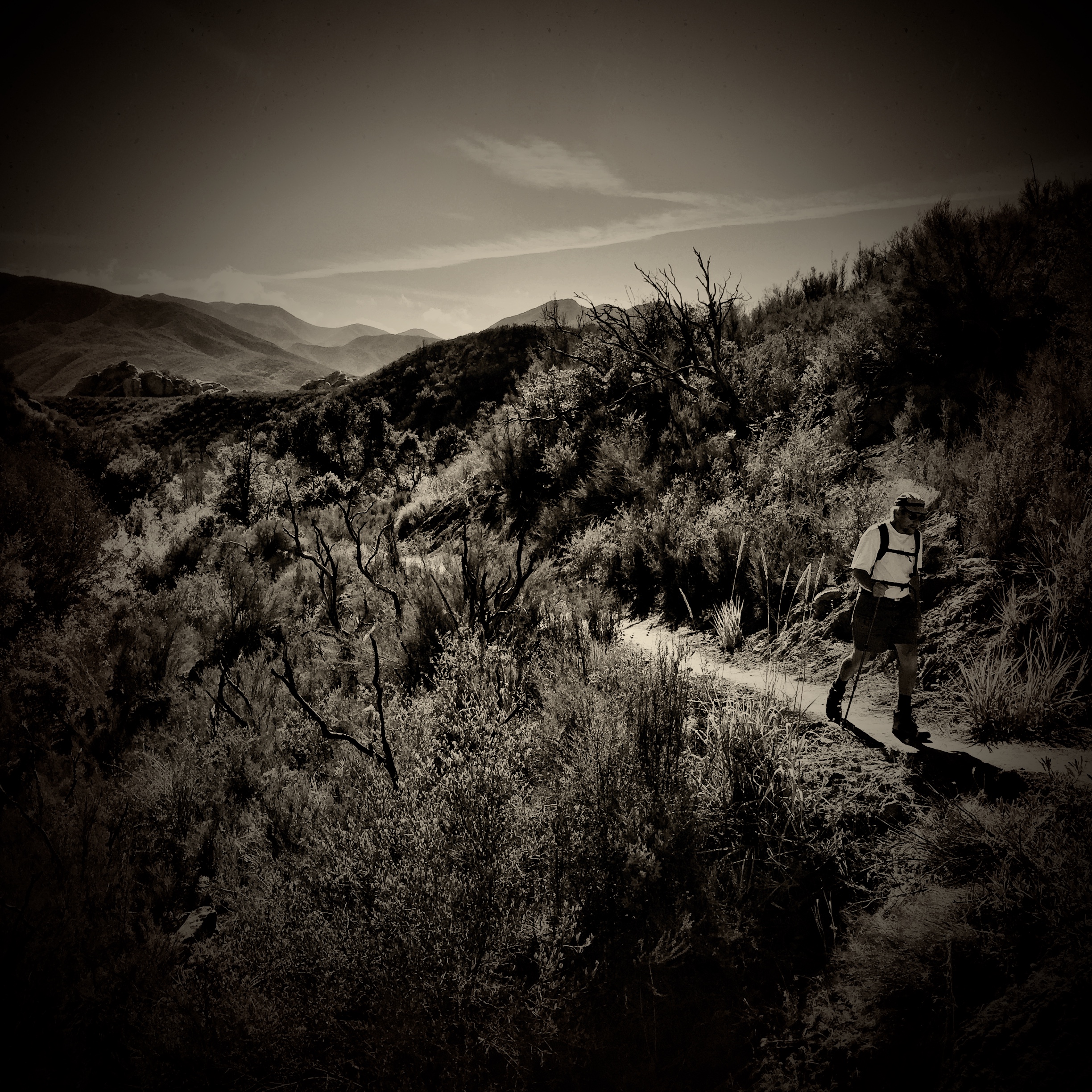
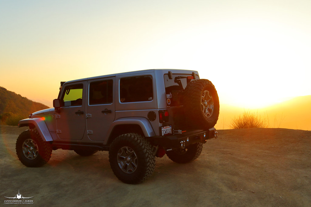
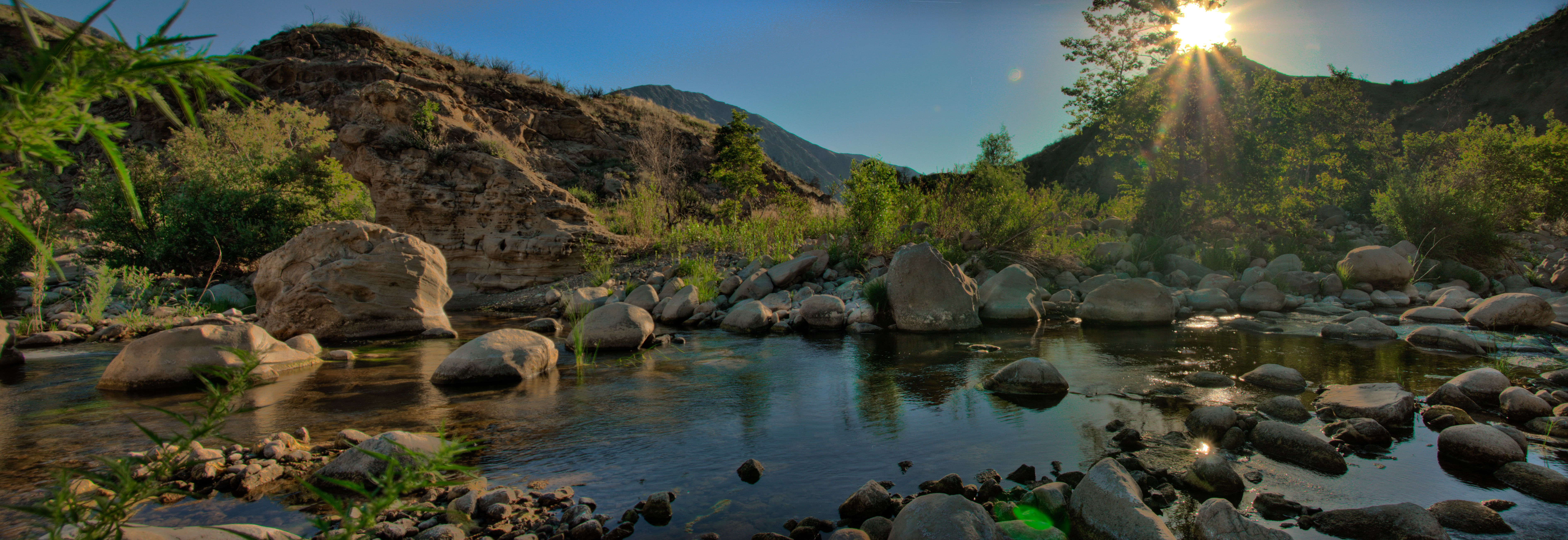
Hiking Piedra Blanca in the Los Padres National Forest
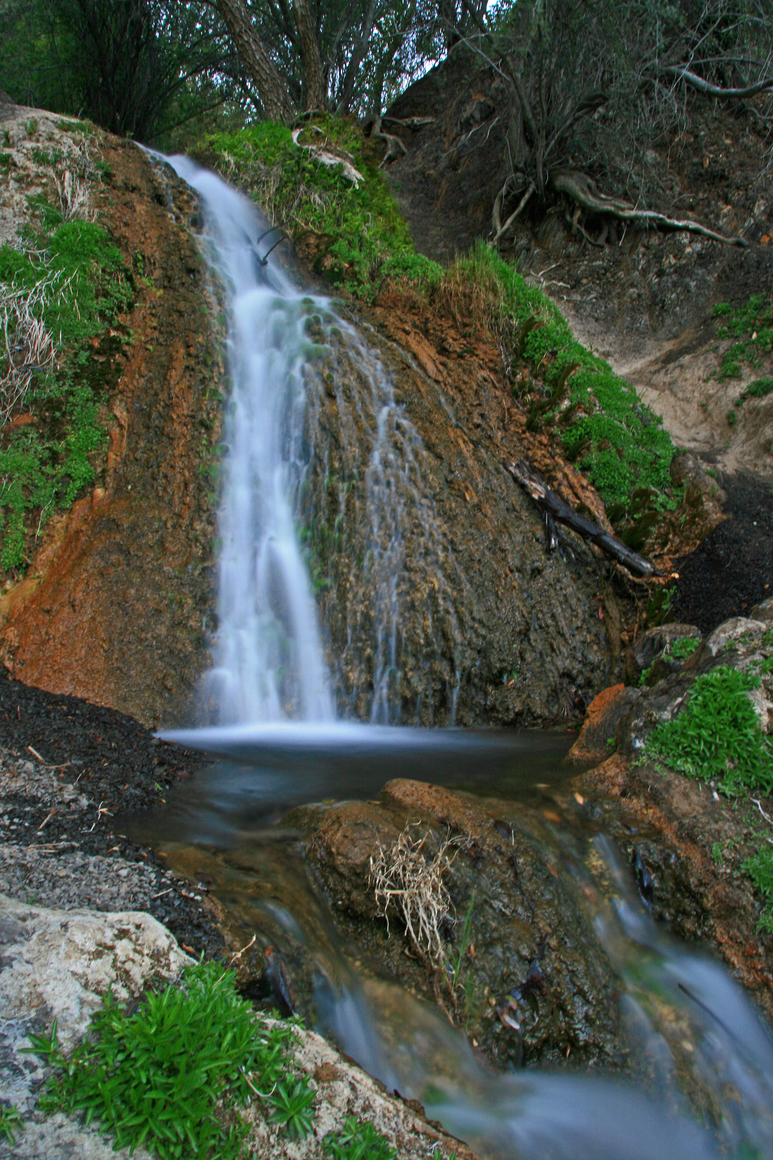
Bellyache Springs
#nofilterneeded
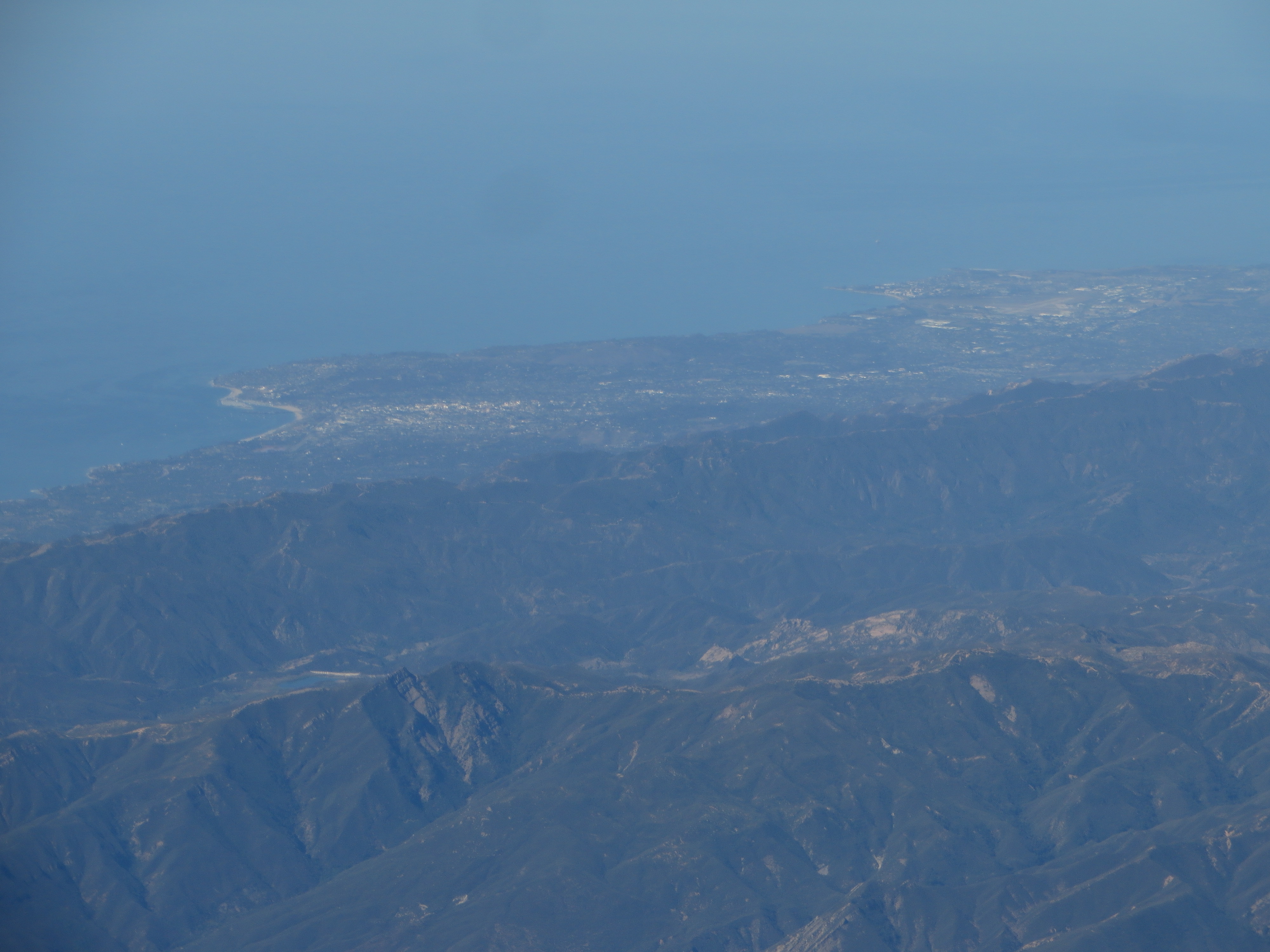
Santa Barbara, California
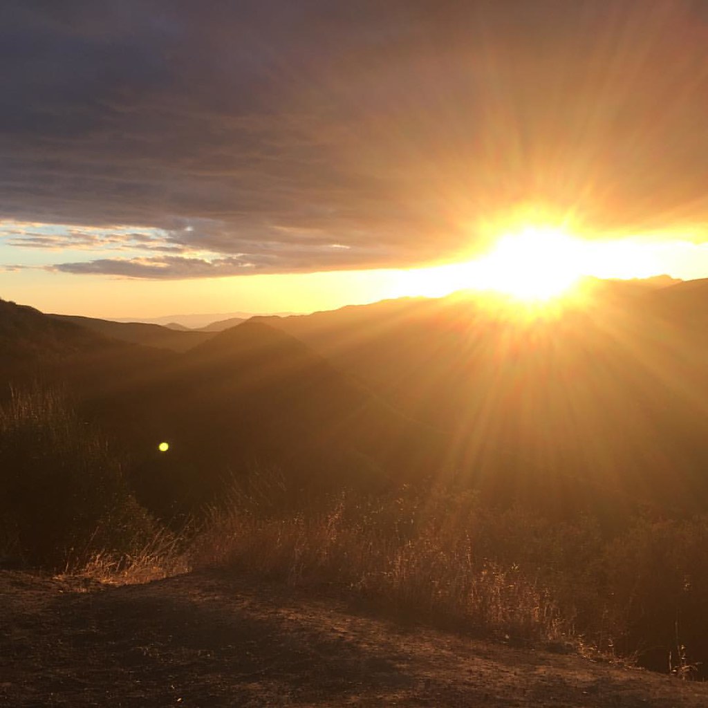
Sunset.....

sunset after the eclipse 2
sunset after the eclipse
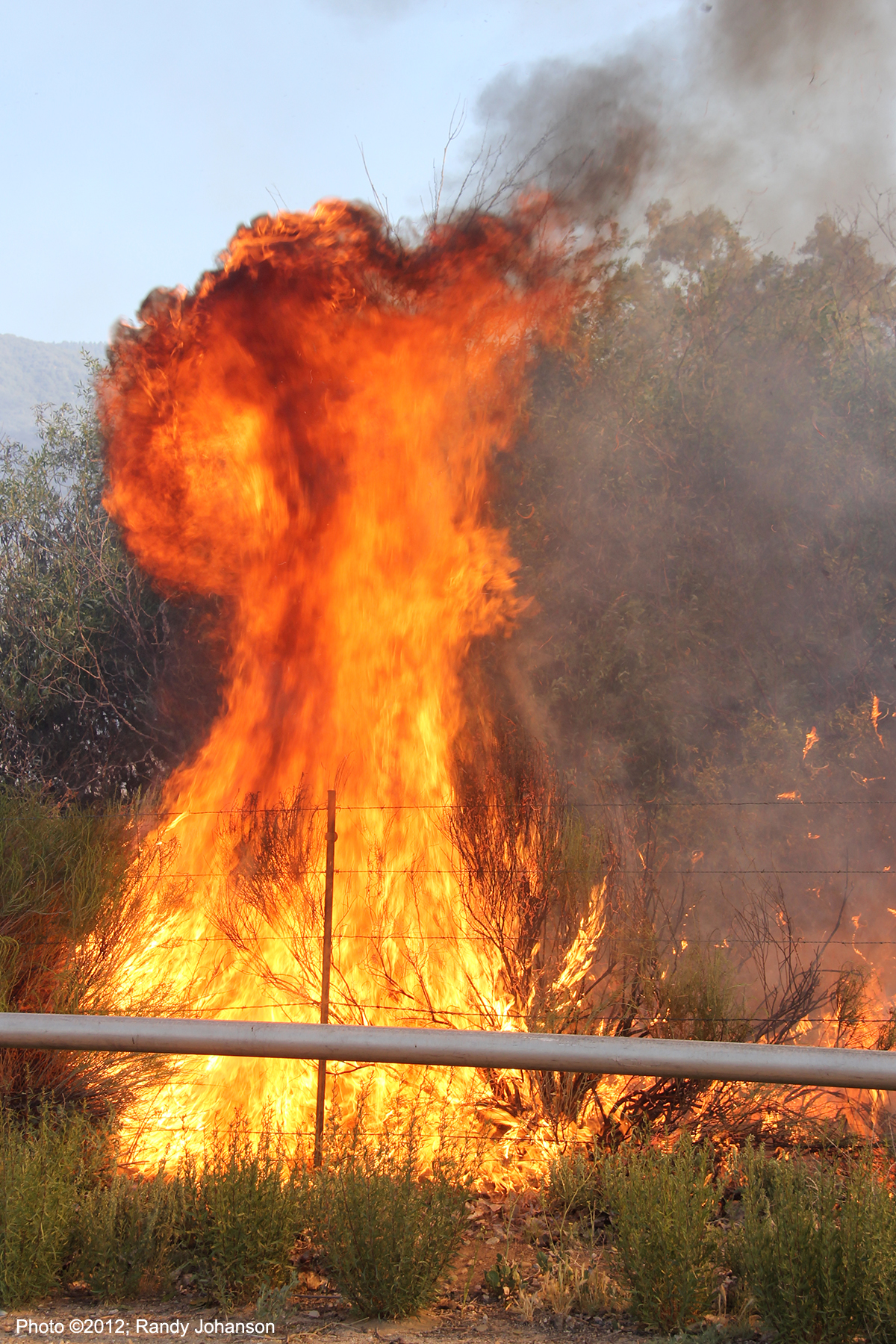
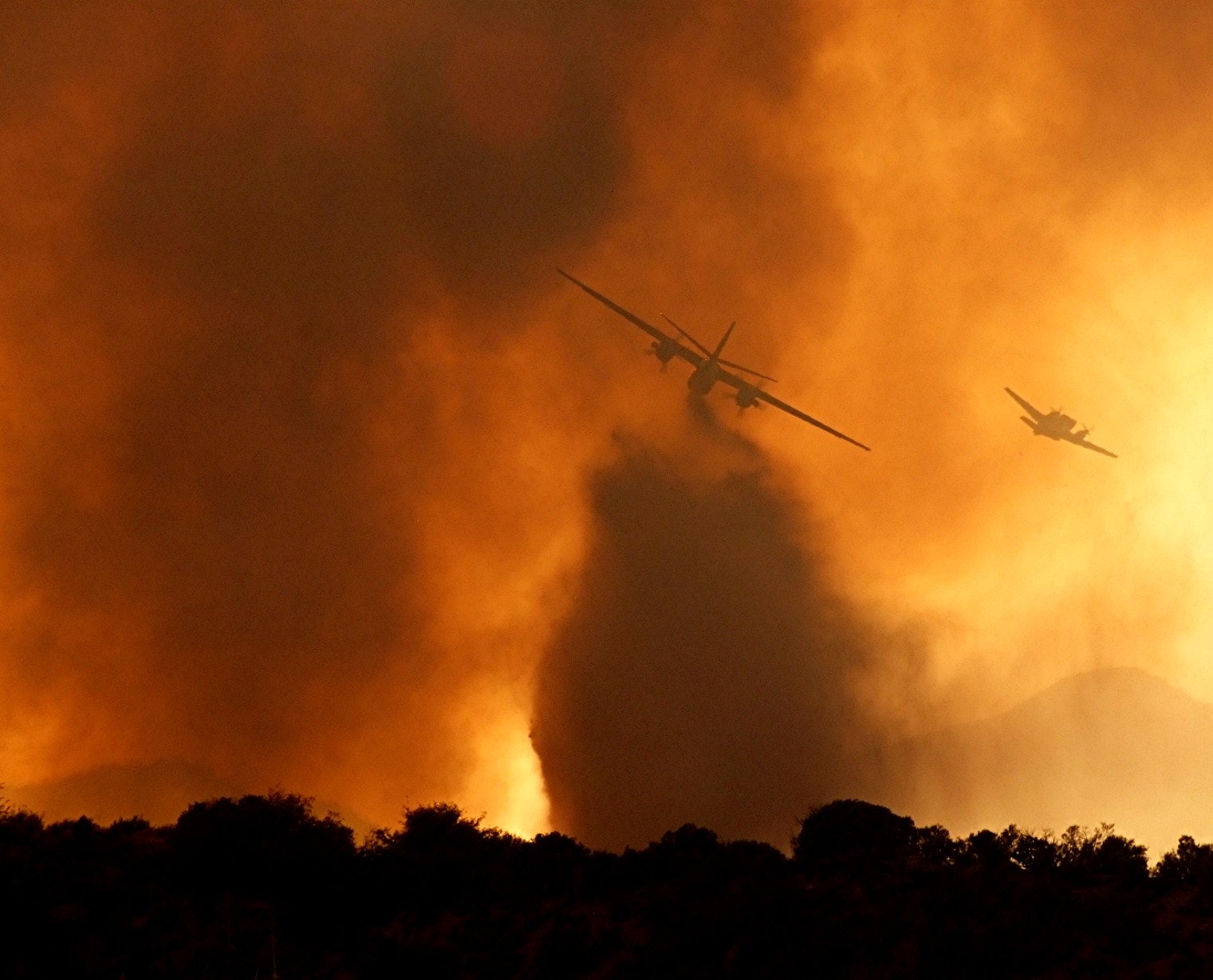
Ozena Incident
sunset towards the ocean
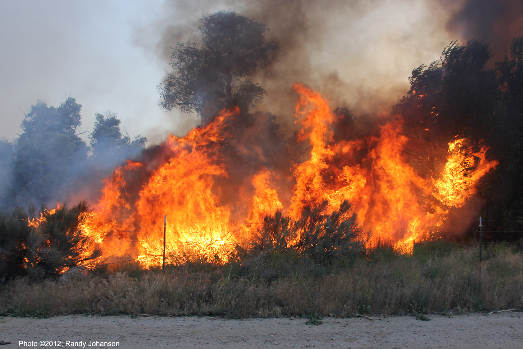
OZENA CAMP GROUND - BRUSH
Ozena Incident
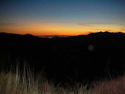
eastern sky @ sunset
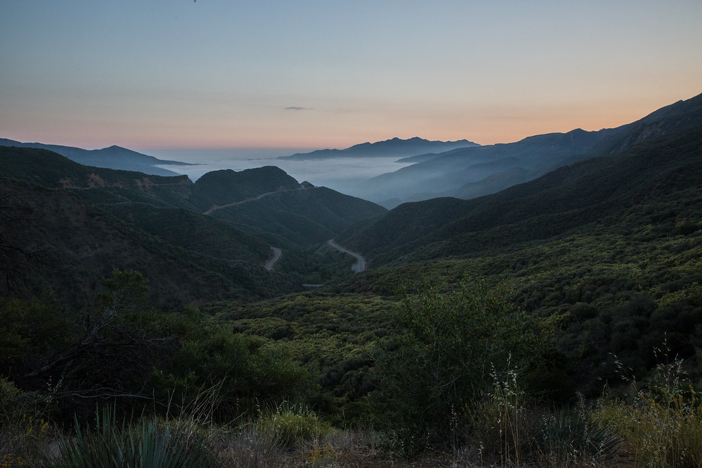
The Fog Disguises the Sea
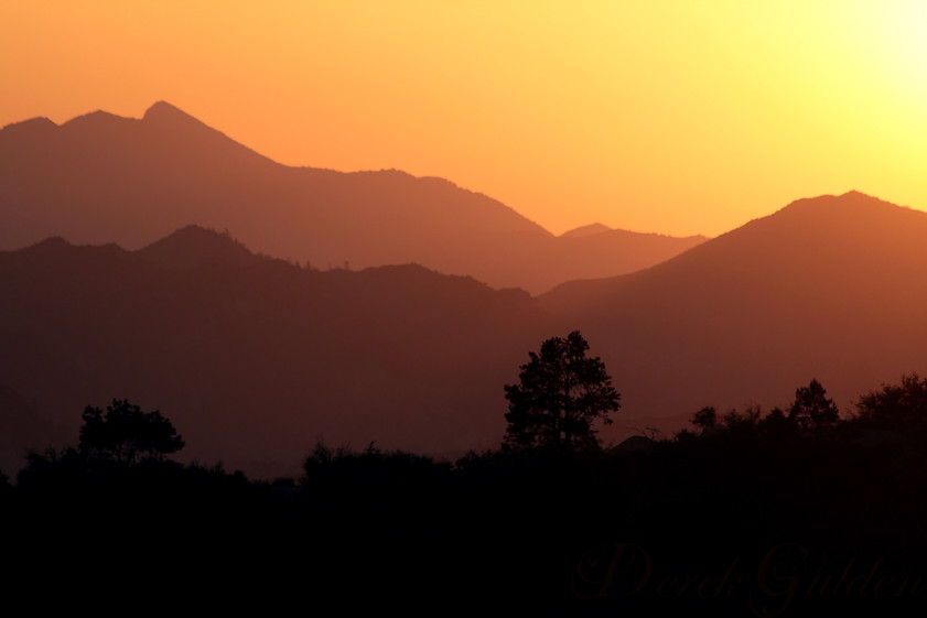
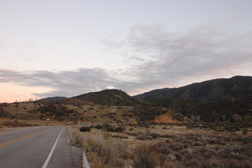
Sespe Dawning
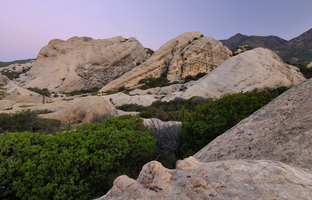
Piedra Blanca
Reyes Peak, California, USA Karte
Suchen Sie einen anderen Ort
Nahe Plätze
Reyes Creek Campground, Maricopa, CA, Vereinigte Staaten
San Guillermo Mountain, California, USA
S Matilija Hot Springs Rd, Ojai, CA, USA
Matilija Hot Springs Rd, Ojai, CA, USA
Thorn Point, California, USA
Fairview Rd, Ojai, CA, USA
Del Oro Drive, Del Oro Dr, Ojai, CA, USA
El Conejo Dr, Ojai, CA, USA
El Toro Rd, Ojai, CA, USA
Meiners Oaks, CA, USA
Su Nido Inn, N Montgomery St, Ojai, CA, USA
Ojai, Kalifornien, USA
S Montgomery St, Ojai, CA, USA
S Ventura St, Ojai, CA, USA
California, CA-, Ojai, CA, USA
Hendrickson Rd, Ojai, CA, USA
Loma Dr, Ojai, CA, USA
South Rice Road, S Rice Rd, Mira Monte, CA, USA
Mira Monte, CA, USA
Half Moon Campground, Frazier Park, CA, Vereinigte Staaten
Letzte Suche
- 6 Rue Jules Ferry, Beausoleil, Frankreich Sonnenaufgang Sonnenuntergang Zeiten
- Otxandio, Biscay, Spain Sonnenaufgang Sonnenuntergang Zeiten
- Sattva Horizon, 4JC6+G9P, Vinayak Nagar, Kattigenahalli, Bengaluru, Karnataka, Indien Sonnenaufgang Sonnenuntergang Zeiten
- 富士山, Kitayama, Fujinomiya, Präfektur Shizuoka -, Japan Sonnenaufgang Sonnenuntergang Zeiten
- Laurel Rd, Townsend, TN, USA Sonnenaufgang Sonnenuntergang Zeiten
- Haibin South Road, China, Guang Dong Sheng, Shen Zhen Shi, Long Gang Qu, 海滨南路GFPQ+R9Q Sonnenaufgang Sonnenuntergang Zeiten
- Redondo Ave, Long Beach, CA, USA Sonnenaufgang Sonnenuntergang Zeiten
- Ulitsa Kalinina, 79, Rezh, Sverdlovskaya oblast', Russia Sonnenaufgang Sonnenuntergang Zeiten
- Leguwa, Nepal Sonnenaufgang Sonnenuntergang Zeiten
- Shustino, Vladimir Oblast, Russland Sonnenaufgang Sonnenuntergang Zeiten