Oatman-Topock Hwy, Topock, AZ, USA Sonnenaufgang Sonnenuntergang Zeiten
Location: USA > Arizona > Mohave County > Topock >
Zeitzone:
America/Phoenix
Ortszeit:
2024-05-20 01:41:51
Länge:
-114.484946
Breite:
34.746569
Sonnenaufgang Heute:
05:30:43 AM
Sonnenuntergang Heute:
07:38:22 PM
Tageslänge heute:
14h 7m 39s
Sonnenaufgang morgen:
05:30:08 AM
Sonnenuntergang Morgen:
07:39:06 PM
Tageslänge von morgen:
14h 8m 58s
Alle Termine anzeigen
| Datum | Sonnenaufgang | Sonnenuntergang | Tageslänge |
|---|---|---|---|
| 2024-01-01 | 07:45:18 AM | 05:38:16 PM | 9h 52m 58s |
| 2024-01-02 | 07:45:27 AM | 05:39:03 PM | 9h 53m 36s |
| 2024-01-03 | 07:45:34 AM | 05:39:50 PM | 9h 54m 16s |
| 2024-01-04 | 07:45:40 AM | 05:40:39 PM | 9h 54m 59s |
| 2024-01-05 | 07:45:43 AM | 05:41:29 PM | 9h 55m 46s |
| 2024-01-06 | 07:45:45 AM | 05:42:20 PM | 9h 56m 35s |
| 2024-01-07 | 07:45:44 AM | 05:43:11 PM | 9h 57m 27s |
| 2024-01-08 | 07:45:42 AM | 05:44:04 PM | 9h 58m 22s |
| 2024-01-09 | 07:45:38 AM | 05:44:57 PM | 9h 59m 19s |
| 2024-01-10 | 07:45:32 AM | 05:45:52 PM | 10h 0m 20s |
| 2024-01-11 | 07:45:24 AM | 05:46:47 PM | 10h 1m 23s |
| 2024-01-12 | 07:45:14 AM | 05:47:42 PM | 10h 2m 28s |
| 2024-01-13 | 07:45:03 AM | 05:48:38 PM | 10h 3m 35s |
| 2024-01-14 | 07:44:49 AM | 05:49:35 PM | 10h 4m 46s |
| 2024-01-15 | 07:44:33 AM | 05:50:33 PM | 10h 6m 0s |
| 2024-01-16 | 07:44:16 AM | 05:51:30 PM | 10h 7m 14s |
| 2024-01-17 | 07:43:57 AM | 05:52:29 PM | 10h 8m 32s |
| 2024-01-18 | 07:43:36 AM | 05:53:27 PM | 10h 9m 51s |
| 2024-01-19 | 07:43:13 AM | 05:54:27 PM | 10h 11m 14s |
| 2024-01-20 | 07:42:48 AM | 05:55:26 PM | 10h 12m 38s |
| 2024-01-21 | 07:42:22 AM | 05:56:26 PM | 10h 14m 4s |
| 2024-01-22 | 07:41:53 AM | 05:57:26 PM | 10h 15m 33s |
| 2024-01-23 | 07:41:23 AM | 05:58:26 PM | 10h 17m 3s |
| 2024-01-24 | 07:40:51 AM | 05:59:26 PM | 10h 18m 35s |
| 2024-01-25 | 07:40:18 AM | 06:00:27 PM | 10h 20m 9s |
| 2024-01-26 | 07:39:43 AM | 06:01:27 PM | 10h 21m 44s |
| 2024-01-27 | 07:39:06 AM | 06:02:28 PM | 10h 23m 22s |
| 2024-01-28 | 07:38:27 AM | 06:03:29 PM | 10h 25m 2s |
| 2024-01-29 | 07:37:47 AM | 06:04:29 PM | 10h 26m 42s |
| 2024-01-30 | 07:37:05 AM | 06:05:30 PM | 10h 28m 25s |
| 2024-01-31 | 07:36:22 AM | 06:06:30 PM | 10h 30m 8s |
| 2024-02-01 | 07:35:37 AM | 06:07:31 PM | 10h 31m 54s |
| 2024-02-02 | 07:34:50 AM | 06:08:31 PM | 10h 33m 41s |
| 2024-02-03 | 07:34:03 AM | 06:09:32 PM | 10h 35m 29s |
| 2024-02-04 | 07:33:13 AM | 06:10:32 PM | 10h 37m 19s |
| 2024-02-05 | 07:32:22 AM | 06:11:32 PM | 10h 39m 10s |
| 2024-02-06 | 07:31:30 AM | 06:12:31 PM | 10h 41m 1s |
| 2024-02-07 | 07:30:36 AM | 06:13:31 PM | 10h 42m 55s |
| 2024-02-08 | 07:29:41 AM | 06:14:30 PM | 10h 44m 49s |
| 2024-02-09 | 07:28:45 AM | 06:15:29 PM | 10h 46m 44s |
| 2024-02-10 | 07:27:48 AM | 06:16:28 PM | 10h 48m 40s |
| 2024-02-11 | 07:26:49 AM | 06:17:27 PM | 10h 50m 38s |
| 2024-02-12 | 07:25:49 AM | 06:18:25 PM | 10h 52m 36s |
| 2024-02-13 | 07:24:47 AM | 06:19:23 PM | 10h 54m 36s |
| 2024-02-14 | 07:23:45 AM | 06:20:20 PM | 10h 56m 35s |
| 2024-02-15 | 07:22:41 AM | 06:21:18 PM | 10h 58m 37s |
| 2024-02-16 | 07:21:37 AM | 06:22:15 PM | 11h 0m 38s |
| 2024-02-17 | 07:20:31 AM | 06:23:11 PM | 11h 2m 40s |
| 2024-02-18 | 07:19:24 AM | 06:24:08 PM | 11h 4m 44s |
| 2024-02-19 | 07:18:16 AM | 06:25:04 PM | 11h 6m 48s |
| 2024-02-20 | 07:17:08 AM | 06:25:59 PM | 11h 8m 51s |
| 2024-02-21 | 07:15:58 AM | 06:26:55 PM | 11h 10m 57s |
| 2024-02-22 | 07:14:47 AM | 06:27:50 PM | 11h 13m 3s |
| 2024-02-23 | 07:13:36 AM | 06:28:44 PM | 11h 15m 8s |
| 2024-02-24 | 07:12:23 AM | 06:29:38 PM | 11h 17m 15s |
| 2024-02-25 | 07:11:10 AM | 06:30:32 PM | 11h 19m 22s |
| 2024-02-26 | 07:09:56 AM | 06:31:26 PM | 11h 21m 30s |
| 2024-02-27 | 07:08:41 AM | 06:32:19 PM | 11h 23m 38s |
| 2024-02-28 | 07:07:26 AM | 06:33:12 PM | 11h 25m 46s |
| 2024-02-29 | 07:06:10 AM | 06:34:05 PM | 11h 27m 55s |
| 2024-03-01 | 07:04:53 AM | 06:34:57 PM | 11h 30m 4s |
| 2024-03-02 | 07:03:36 AM | 06:35:49 PM | 11h 32m 13s |
| 2024-03-03 | 07:02:18 AM | 06:36:41 PM | 11h 34m 23s |
| 2024-03-04 | 07:00:59 AM | 06:37:32 PM | 11h 36m 33s |
| 2024-03-05 | 06:59:40 AM | 06:38:23 PM | 11h 38m 43s |
| 2024-03-06 | 06:58:20 AM | 06:39:14 PM | 11h 40m 54s |
| 2024-03-07 | 06:57:00 AM | 06:40:05 PM | 11h 43m 5s |
| 2024-03-08 | 06:55:39 AM | 06:40:55 PM | 11h 45m 16s |
| 2024-03-09 | 06:54:18 AM | 06:41:45 PM | 11h 47m 27s |
| 2024-03-10 | 06:52:57 AM | 06:42:35 PM | 11h 49m 38s |
| 2024-03-11 | 06:51:35 AM | 06:43:24 PM | 11h 51m 49s |
| 2024-03-12 | 06:50:13 AM | 06:44:14 PM | 11h 54m 1s |
| 2024-03-13 | 06:48:51 AM | 06:45:03 PM | 11h 56m 12s |
| 2024-03-14 | 06:47:28 AM | 06:45:52 PM | 11h 58m 24s |
| 2024-03-15 | 06:46:05 AM | 06:46:40 PM | 12h 0m 35s |
| 2024-03-16 | 06:44:42 AM | 06:47:29 PM | 12h 2m 47s |
| 2024-03-17 | 06:43:19 AM | 06:48:17 PM | 12h 4m 58s |
| 2024-03-18 | 06:41:56 AM | 06:49:05 PM | 12h 7m 9s |
| 2024-03-19 | 06:40:32 AM | 06:49:53 PM | 12h 9m 21s |
| 2024-03-20 | 06:39:08 AM | 06:50:41 PM | 12h 11m 33s |
| 2024-03-21 | 06:37:45 AM | 06:51:29 PM | 12h 13m 44s |
| 2024-03-22 | 06:36:21 AM | 06:52:17 PM | 12h 15m 56s |
| 2024-03-23 | 06:34:57 AM | 06:53:04 PM | 12h 18m 7s |
| 2024-03-24 | 06:33:34 AM | 06:53:52 PM | 12h 20m 18s |
| 2024-03-25 | 06:32:10 AM | 06:54:39 PM | 12h 22m 29s |
| 2024-03-26 | 06:30:47 AM | 06:55:27 PM | 12h 24m 40s |
| 2024-03-27 | 06:29:23 AM | 06:56:14 PM | 12h 26m 51s |
| 2024-03-28 | 06:28:00 AM | 06:57:01 PM | 12h 29m 1s |
| 2024-03-29 | 06:26:37 AM | 06:57:48 PM | 12h 31m 11s |
| 2024-03-30 | 06:25:14 AM | 06:58:35 PM | 12h 33m 21s |
| 2024-03-31 | 06:23:51 AM | 06:59:22 PM | 12h 35m 31s |
| 2024-04-01 | 06:22:29 AM | 07:00:10 PM | 12h 37m 41s |
| 2024-04-02 | 06:21:07 AM | 07:00:57 PM | 12h 39m 50s |
| 2024-04-03 | 06:19:45 AM | 07:01:44 PM | 12h 41m 59s |
| 2024-04-04 | 06:18:23 AM | 07:02:31 PM | 12h 44m 8s |
| 2024-04-05 | 06:17:02 AM | 07:03:18 PM | 12h 46m 16s |
| 2024-04-06 | 06:15:42 AM | 07:04:05 PM | 12h 48m 23s |
| 2024-04-07 | 06:14:21 AM | 07:04:52 PM | 12h 50m 31s |
| 2024-04-08 | 06:13:02 AM | 07:05:40 PM | 12h 52m 38s |
| 2024-04-09 | 06:11:42 AM | 07:06:27 PM | 12h 54m 45s |
| 2024-04-10 | 06:10:24 AM | 07:07:14 PM | 12h 56m 50s |
| 2024-04-11 | 06:09:05 AM | 07:08:02 PM | 12h 58m 57s |
| 2024-04-12 | 06:07:48 AM | 07:08:49 PM | 13h 1m 1s |
| 2024-04-13 | 06:06:31 AM | 07:09:37 PM | 13h 3m 6s |
| 2024-04-14 | 06:05:14 AM | 07:10:24 PM | 13h 5m 10s |
| 2024-04-15 | 06:03:59 AM | 07:11:12 PM | 13h 7m 13s |
| 2024-04-16 | 06:02:44 AM | 07:12:00 PM | 13h 9m 16s |
| 2024-04-17 | 06:01:29 AM | 07:12:48 PM | 13h 11m 19s |
| 2024-04-18 | 06:00:16 AM | 07:13:36 PM | 13h 13m 20s |
| 2024-04-19 | 05:59:03 AM | 07:14:24 PM | 13h 15m 21s |
| 2024-04-20 | 05:57:51 AM | 07:15:12 PM | 13h 17m 21s |
| 2024-04-21 | 05:56:40 AM | 07:16:00 PM | 13h 19m 20s |
| 2024-04-22 | 05:55:30 AM | 07:16:48 PM | 13h 21m 18s |
| 2024-04-23 | 05:54:20 AM | 07:17:36 PM | 13h 23m 16s |
| 2024-04-24 | 05:53:12 AM | 07:18:24 PM | 13h 25m 12s |
| 2024-04-25 | 05:52:04 AM | 07:19:12 PM | 13h 27m 8s |
| 2024-04-26 | 05:50:58 AM | 07:20:01 PM | 13h 29m 3s |
| 2024-04-27 | 05:49:52 AM | 07:20:49 PM | 13h 30m 57s |
| 2024-04-28 | 05:48:48 AM | 07:21:37 PM | 13h 32m 49s |
| 2024-04-29 | 05:47:44 AM | 07:22:26 PM | 13h 34m 42s |
| 2024-04-30 | 05:46:42 AM | 07:23:14 PM | 13h 36m 32s |
| 2024-05-01 | 05:45:41 AM | 07:24:02 PM | 13h 38m 21s |
| 2024-05-02 | 05:44:41 AM | 07:24:50 PM | 13h 40m 9s |
| 2024-05-03 | 05:43:42 AM | 07:25:39 PM | 13h 41m 57s |
| 2024-05-04 | 05:42:44 AM | 07:26:27 PM | 13h 43m 43s |
| 2024-05-05 | 05:41:47 AM | 07:27:15 PM | 13h 45m 28s |
| 2024-05-06 | 05:40:52 AM | 07:28:03 PM | 13h 47m 11s |
| 2024-05-07 | 05:39:58 AM | 07:28:50 PM | 13h 48m 52s |
| 2024-05-08 | 05:39:05 AM | 07:29:38 PM | 13h 50m 33s |
| 2024-05-09 | 05:38:14 AM | 07:30:25 PM | 13h 52m 11s |
| 2024-05-10 | 05:37:24 AM | 07:31:13 PM | 13h 53m 49s |
| 2024-05-11 | 05:36:35 AM | 07:32:00 PM | 13h 55m 25s |
| 2024-05-12 | 05:35:48 AM | 07:32:47 PM | 13h 56m 59s |
| 2024-05-13 | 05:35:02 AM | 07:33:33 PM | 13h 58m 31s |
| 2024-05-14 | 05:34:17 AM | 07:34:20 PM | 14h 0m 3s |
| 2024-05-15 | 05:33:34 AM | 07:35:05 PM | 14h 1m 31s |
| 2024-05-16 | 05:32:52 AM | 07:35:51 PM | 14h 2m 59s |
| 2024-05-17 | 05:32:12 AM | 07:36:36 PM | 14h 4m 24s |
| 2024-05-18 | 05:31:34 AM | 07:37:21 PM | 14h 5m 47s |
| 2024-05-19 | 05:30:56 AM | 07:38:06 PM | 14h 7m 10s |
| 2024-05-20 | 05:30:21 AM | 07:38:50 PM | 14h 8m 29s |
| 2024-05-21 | 05:29:47 AM | 07:39:33 PM | 14h 9m 46s |
| 2024-05-22 | 05:29:14 AM | 07:40:16 PM | 14h 11m 2s |
| 2024-05-23 | 05:28:43 AM | 07:40:58 PM | 14h 12m 15s |
| 2024-05-24 | 05:28:14 AM | 07:41:40 PM | 14h 13m 26s |
| 2024-05-25 | 05:27:46 AM | 07:42:21 PM | 14h 14m 35s |
| 2024-05-26 | 05:27:20 AM | 07:43:02 PM | 14h 15m 42s |
| 2024-05-27 | 05:26:55 AM | 07:43:42 PM | 14h 16m 47s |
| 2024-05-28 | 05:26:32 AM | 07:44:21 PM | 14h 17m 49s |
| 2024-05-29 | 05:26:11 AM | 07:44:59 PM | 14h 18m 48s |
| 2024-05-30 | 05:25:51 AM | 07:45:36 PM | 14h 19m 45s |
| 2024-05-31 | 05:25:33 AM | 07:46:13 PM | 14h 20m 40s |
| 2024-06-01 | 05:25:17 AM | 07:46:49 PM | 14h 21m 32s |
| 2024-06-02 | 05:25:02 AM | 07:47:24 PM | 14h 22m 22s |
| 2024-06-03 | 05:24:49 AM | 07:47:57 PM | 14h 23m 8s |
| 2024-06-04 | 05:24:38 AM | 07:48:30 PM | 14h 23m 52s |
| 2024-06-05 | 05:24:28 AM | 07:49:02 PM | 14h 24m 34s |
| 2024-06-06 | 05:24:20 AM | 07:49:33 PM | 14h 25m 13s |
| 2024-06-07 | 05:24:13 AM | 07:50:03 PM | 14h 25m 50s |
| 2024-06-08 | 05:24:08 AM | 07:50:31 PM | 14h 26m 23s |
| 2024-06-09 | 05:24:05 AM | 07:50:59 PM | 14h 26m 54s |
| 2024-06-10 | 05:24:03 AM | 07:51:25 PM | 14h 27m 22s |
| 2024-06-11 | 05:24:03 AM | 07:51:50 PM | 14h 27m 47s |
| 2024-06-12 | 05:24:04 AM | 07:52:14 PM | 14h 28m 10s |
| 2024-06-13 | 05:24:07 AM | 07:52:37 PM | 14h 28m 30s |
| 2024-06-14 | 05:24:12 AM | 07:52:58 PM | 14h 28m 46s |
| 2024-06-15 | 05:24:18 AM | 07:53:18 PM | 14h 29m 0s |
| 2024-06-16 | 05:24:26 AM | 07:53:36 PM | 14h 29m 10s |
| 2024-06-17 | 05:24:35 AM | 07:53:53 PM | 14h 29m 18s |
| 2024-06-18 | 05:24:45 AM | 07:54:09 PM | 14h 29m 24s |
| 2024-06-19 | 05:24:57 AM | 07:54:23 PM | 14h 29m 26s |
| 2024-06-20 | 05:25:11 AM | 07:54:36 PM | 14h 29m 25s |
| 2024-06-21 | 05:25:25 AM | 07:54:47 PM | 14h 29m 22s |
| 2024-06-22 | 05:25:42 AM | 07:54:56 PM | 14h 29m 14s |
| 2024-06-23 | 05:25:59 AM | 07:55:05 PM | 14h 29m 6s |
| 2024-06-24 | 05:26:18 AM | 07:55:11 PM | 14h 28m 53s |
| 2024-06-25 | 05:26:38 AM | 07:55:16 PM | 14h 28m 38s |
| 2024-06-26 | 05:27:00 AM | 07:55:19 PM | 14h 28m 19s |
| 2024-06-27 | 05:27:22 AM | 07:55:21 PM | 14h 27m 59s |
| 2024-06-28 | 05:27:46 AM | 07:55:21 PM | 14h 27m 35s |
| 2024-06-29 | 05:28:11 AM | 07:55:20 PM | 14h 27m 9s |
| 2024-06-30 | 05:28:37 AM | 07:55:17 PM | 14h 26m 40s |
| 2024-07-01 | 05:29:05 AM | 07:55:12 PM | 14h 26m 7s |
| 2024-07-02 | 05:29:33 AM | 07:55:05 PM | 14h 25m 32s |
| 2024-07-03 | 05:30:02 AM | 07:54:57 PM | 14h 24m 55s |
| 2024-07-04 | 05:30:33 AM | 07:54:47 PM | 14h 24m 14s |
| 2024-07-05 | 05:31:04 AM | 07:54:36 PM | 14h 23m 32s |
| 2024-07-06 | 05:31:36 AM | 07:54:23 PM | 14h 22m 47s |
| 2024-07-07 | 05:32:09 AM | 07:54:08 PM | 14h 21m 59s |
| 2024-07-08 | 05:32:43 AM | 07:53:51 PM | 14h 21m 8s |
| 2024-07-09 | 05:33:18 AM | 07:53:33 PM | 14h 20m 15s |
| 2024-07-10 | 05:33:54 AM | 07:53:13 PM | 14h 19m 19s |
| 2024-07-11 | 05:34:30 AM | 07:52:52 PM | 14h 18m 22s |
| 2024-07-12 | 05:35:07 AM | 07:52:29 PM | 14h 17m 22s |
| 2024-07-13 | 05:35:45 AM | 07:52:04 PM | 14h 16m 19s |
| 2024-07-14 | 05:36:23 AM | 07:51:37 PM | 14h 15m 14s |
| 2024-07-15 | 05:37:02 AM | 07:51:09 PM | 14h 14m 7s |
| 2024-07-16 | 05:37:42 AM | 07:50:39 PM | 14h 12m 57s |
| 2024-07-17 | 05:38:22 AM | 07:50:08 PM | 14h 11m 46s |
| 2024-07-18 | 05:39:03 AM | 07:49:35 PM | 14h 10m 32s |
| 2024-07-19 | 05:39:44 AM | 07:49:00 PM | 14h 9m 16s |
| 2024-07-20 | 05:40:25 AM | 07:48:24 PM | 14h 7m 59s |
| 2024-07-21 | 05:41:07 AM | 07:47:46 PM | 14h 6m 39s |
| 2024-07-22 | 05:41:50 AM | 07:47:07 PM | 14h 5m 17s |
| 2024-07-23 | 05:42:32 AM | 07:46:26 PM | 14h 3m 54s |
| 2024-07-24 | 05:43:15 AM | 07:45:44 PM | 14h 2m 29s |
| 2024-07-25 | 05:43:59 AM | 07:45:00 PM | 14h 1m 1s |
| 2024-07-26 | 05:44:42 AM | 07:44:14 PM | 13h 59m 32s |
| 2024-07-27 | 05:45:26 AM | 07:43:28 PM | 13h 58m 2s |
| 2024-07-28 | 05:46:10 AM | 07:42:40 PM | 13h 56m 30s |
| 2024-07-29 | 05:46:54 AM | 07:41:50 PM | 13h 54m 56s |
| 2024-07-30 | 05:47:39 AM | 07:40:59 PM | 13h 53m 20s |
| 2024-07-31 | 05:48:23 AM | 07:40:07 PM | 13h 51m 44s |
| 2024-08-01 | 05:49:08 AM | 07:39:13 PM | 13h 50m 5s |
| 2024-08-02 | 05:49:53 AM | 07:38:18 PM | 13h 48m 25s |
| 2024-08-03 | 05:50:38 AM | 07:37:22 PM | 13h 46m 44s |
| 2024-08-04 | 05:51:23 AM | 07:36:24 PM | 13h 45m 1s |
| 2024-08-05 | 05:52:08 AM | 07:35:25 PM | 13h 43m 17s |
| 2024-08-06 | 05:52:53 AM | 07:34:25 PM | 13h 41m 32s |
| 2024-08-07 | 05:53:38 AM | 07:33:24 PM | 13h 39m 46s |
| 2024-08-08 | 05:54:23 AM | 07:32:22 PM | 13h 37m 59s |
| 2024-08-09 | 05:55:08 AM | 07:31:18 PM | 13h 36m 10s |
| 2024-08-10 | 05:55:53 AM | 07:30:14 PM | 13h 34m 21s |
| 2024-08-11 | 05:56:38 AM | 07:29:08 PM | 13h 32m 30s |
| 2024-08-12 | 05:57:22 AM | 07:28:01 PM | 13h 30m 39s |
| 2024-08-13 | 05:58:07 AM | 07:26:54 PM | 13h 28m 47s |
| 2024-08-14 | 05:58:52 AM | 07:25:45 PM | 13h 26m 53s |
| 2024-08-15 | 05:59:37 AM | 07:24:35 PM | 13h 24m 58s |
| 2024-08-16 | 06:00:21 AM | 07:23:24 PM | 13h 23m 3s |
| 2024-08-17 | 06:01:06 AM | 07:22:13 PM | 13h 21m 7s |
| 2024-08-18 | 06:01:50 AM | 07:21:00 PM | 13h 19m 10s |
| 2024-08-19 | 06:02:35 AM | 07:19:47 PM | 13h 17m 12s |
| 2024-08-20 | 06:03:19 AM | 07:18:33 PM | 13h 15m 14s |
| 2024-08-21 | 06:04:03 AM | 07:17:18 PM | 13h 13m 15s |
| 2024-08-22 | 06:04:47 AM | 07:16:02 PM | 13h 11m 15s |
| 2024-08-23 | 06:05:31 AM | 07:14:46 PM | 13h 9m 15s |
| 2024-08-24 | 06:06:15 AM | 07:13:28 PM | 13h 7m 13s |
| 2024-08-25 | 06:06:59 AM | 07:12:10 PM | 13h 5m 11s |
| 2024-08-26 | 06:07:42 AM | 07:10:52 PM | 13h 3m 10s |
| 2024-08-27 | 06:08:26 AM | 07:09:33 PM | 13h 1m 7s |
| 2024-08-28 | 06:09:09 AM | 07:08:13 PM | 12h 59m 4s |
| 2024-08-29 | 06:09:53 AM | 07:06:52 PM | 12h 56m 59s |
| 2024-08-30 | 06:10:36 AM | 07:05:31 PM | 12h 54m 55s |
| 2024-08-31 | 06:11:19 AM | 07:04:10 PM | 12h 52m 51s |
| 2024-09-01 | 06:12:03 AM | 07:02:48 PM | 12h 50m 45s |
| 2024-09-02 | 06:12:46 AM | 07:01:25 PM | 12h 48m 39s |
| 2024-09-03 | 06:13:29 AM | 07:00:03 PM | 12h 46m 34s |
| 2024-09-04 | 06:14:12 AM | 06:58:39 PM | 12h 44m 27s |
| 2024-09-05 | 06:14:55 AM | 06:57:16 PM | 12h 42m 21s |
| 2024-09-06 | 06:15:38 AM | 06:55:52 PM | 12h 40m 14s |
| 2024-09-07 | 06:16:20 AM | 06:54:27 PM | 12h 38m 7s |
| 2024-09-08 | 06:17:03 AM | 06:53:03 PM | 12h 36m 0s |
| 2024-09-09 | 06:17:46 AM | 06:51:38 PM | 12h 33m 52s |
| 2024-09-10 | 06:18:29 AM | 06:50:12 PM | 12h 31m 43s |
| 2024-09-11 | 06:19:12 AM | 06:48:47 PM | 12h 29m 35s |
| 2024-09-12 | 06:19:55 AM | 06:47:22 PM | 12h 27m 27s |
| 2024-09-13 | 06:20:38 AM | 06:45:56 PM | 12h 25m 18s |
| 2024-09-14 | 06:21:21 AM | 06:44:30 PM | 12h 23m 9s |
| 2024-09-15 | 06:22:04 AM | 06:43:04 PM | 12h 21m 0s |
| 2024-09-16 | 06:22:47 AM | 06:41:38 PM | 12h 18m 51s |
| 2024-09-17 | 06:23:30 AM | 06:40:12 PM | 12h 16m 42s |
| 2024-09-18 | 06:24:13 AM | 06:38:46 PM | 12h 14m 33s |
| 2024-09-19 | 06:24:57 AM | 06:37:20 PM | 12h 12m 23s |
| 2024-09-20 | 06:25:40 AM | 06:35:54 PM | 12h 10m 14s |
| 2024-09-21 | 06:26:24 AM | 06:34:28 PM | 12h 8m 4s |
| 2024-09-22 | 06:27:07 AM | 06:33:02 PM | 12h 5m 55s |
| 2024-09-23 | 06:27:51 AM | 06:31:37 PM | 12h 3m 46s |
| 2024-09-24 | 06:28:35 AM | 06:30:11 PM | 12h 1m 36s |
| 2024-09-25 | 06:29:20 AM | 06:28:46 PM | 11h 59m 26s |
| 2024-09-26 | 06:30:04 AM | 06:27:21 PM | 11h 57m 17s |
| 2024-09-27 | 06:30:49 AM | 06:25:56 PM | 11h 55m 7s |
| 2024-09-28 | 06:31:34 AM | 06:24:31 PM | 11h 52m 57s |
| 2024-09-29 | 06:32:19 AM | 06:23:07 PM | 11h 50m 48s |
| 2024-09-30 | 06:33:04 AM | 06:21:43 PM | 11h 48m 39s |
| 2024-10-01 | 06:33:50 AM | 06:20:19 PM | 11h 46m 29s |
| 2024-10-02 | 06:34:35 AM | 06:18:56 PM | 11h 44m 21s |
| 2024-10-03 | 06:35:21 AM | 06:17:34 PM | 11h 42m 13s |
| 2024-10-04 | 06:36:08 AM | 06:16:11 PM | 11h 40m 3s |
| 2024-10-05 | 06:36:54 AM | 06:14:49 PM | 11h 37m 55s |
| 2024-10-06 | 06:37:41 AM | 06:13:28 PM | 11h 35m 47s |
| 2024-10-07 | 06:38:29 AM | 06:12:07 PM | 11h 33m 38s |
| 2024-10-08 | 06:39:16 AM | 06:10:47 PM | 11h 31m 31s |
| 2024-10-09 | 06:40:04 AM | 06:09:28 PM | 11h 29m 24s |
| 2024-10-10 | 06:40:52 AM | 06:08:09 PM | 11h 27m 17s |
| 2024-10-11 | 06:41:41 AM | 06:06:51 PM | 11h 25m 10s |
| 2024-10-12 | 06:42:30 AM | 06:05:33 PM | 11h 23m 3s |
| 2024-10-13 | 06:43:19 AM | 06:04:16 PM | 11h 20m 57s |
| 2024-10-14 | 06:44:09 AM | 06:03:00 PM | 11h 18m 51s |
| 2024-10-15 | 06:44:59 AM | 06:01:45 PM | 11h 16m 46s |
| 2024-10-16 | 06:45:49 AM | 06:00:30 PM | 11h 14m 41s |
| 2024-10-17 | 06:46:40 AM | 05:59:17 PM | 11h 12m 37s |
| 2024-10-18 | 06:47:31 AM | 05:58:04 PM | 11h 10m 33s |
| 2024-10-19 | 06:48:22 AM | 05:56:52 PM | 11h 8m 30s |
| 2024-10-20 | 06:49:14 AM | 05:55:41 PM | 11h 6m 27s |
| 2024-10-21 | 06:50:06 AM | 05:54:31 PM | 11h 4m 25s |
| 2024-10-22 | 06:50:59 AM | 05:53:22 PM | 11h 2m 23s |
| 2024-10-23 | 06:51:51 AM | 05:52:15 PM | 11h 0m 24s |
| 2024-10-24 | 06:52:45 AM | 05:51:08 PM | 10h 58m 23s |
| 2024-10-25 | 06:53:38 AM | 05:50:02 PM | 10h 56m 24s |
| 2024-10-26 | 06:54:32 AM | 05:48:58 PM | 10h 54m 26s |
| 2024-10-27 | 06:55:26 AM | 05:47:54 PM | 10h 52m 28s |
| 2024-10-28 | 06:56:21 AM | 05:46:52 PM | 10h 50m 31s |
| 2024-10-29 | 06:57:16 AM | 05:45:51 PM | 10h 48m 35s |
| 2024-10-30 | 06:58:11 AM | 05:44:52 PM | 10h 46m 41s |
| 2024-10-31 | 06:59:07 AM | 05:43:53 PM | 10h 44m 46s |
| 2024-11-01 | 07:00:03 AM | 05:42:56 PM | 10h 42m 53s |
| 2024-11-02 | 07:00:59 AM | 05:42:00 PM | 10h 41m 1s |
| 2024-11-03 | 07:01:55 AM | 05:41:06 PM | 10h 39m 11s |
| 2024-11-04 | 07:02:52 AM | 05:40:13 PM | 10h 37m 21s |
| 2024-11-05 | 07:03:49 AM | 05:39:22 PM | 10h 35m 33s |
| 2024-11-06 | 07:04:46 AM | 05:38:32 PM | 10h 33m 46s |
| 2024-11-07 | 07:05:43 AM | 05:37:43 PM | 10h 32m 0s |
| 2024-11-08 | 07:06:41 AM | 05:36:56 PM | 10h 30m 15s |
| 2024-11-09 | 07:07:38 AM | 05:36:11 PM | 10h 28m 33s |
| 2024-11-10 | 07:08:36 AM | 05:35:27 PM | 10h 26m 51s |
| 2024-11-11 | 07:09:34 AM | 05:34:45 PM | 10h 25m 11s |
| 2024-11-12 | 07:10:31 AM | 05:34:04 PM | 10h 23m 33s |
| 2024-11-13 | 07:11:29 AM | 05:33:25 PM | 10h 21m 56s |
| 2024-11-14 | 07:12:27 AM | 05:32:48 PM | 10h 20m 21s |
| 2024-11-15 | 07:13:25 AM | 05:32:12 PM | 10h 18m 47s |
| 2024-11-16 | 07:14:23 AM | 05:31:38 PM | 10h 17m 15s |
| 2024-11-17 | 07:15:20 AM | 05:31:06 PM | 10h 15m 46s |
| 2024-11-18 | 07:16:18 AM | 05:30:36 PM | 10h 14m 18s |
| 2024-11-19 | 07:17:15 AM | 05:30:08 PM | 10h 12m 53s |
| 2024-11-20 | 07:18:13 AM | 05:29:41 PM | 10h 11m 28s |
| 2024-11-21 | 07:19:10 AM | 05:29:16 PM | 10h 10m 6s |
| 2024-11-22 | 07:20:06 AM | 05:28:53 PM | 10h 8m 47s |
| 2024-11-23 | 07:21:03 AM | 05:28:32 PM | 10h 7m 29s |
| 2024-11-24 | 07:21:58 AM | 05:28:13 PM | 10h 6m 15s |
| 2024-11-25 | 07:22:54 AM | 05:27:55 PM | 10h 5m 1s |
| 2024-11-26 | 07:23:49 AM | 05:27:40 PM | 10h 3m 51s |
| 2024-11-27 | 07:24:44 AM | 05:27:26 PM | 10h 2m 42s |
| 2024-11-28 | 07:25:38 AM | 05:27:15 PM | 10h 1m 37s |
| 2024-11-29 | 07:26:31 AM | 05:27:05 PM | 10h 0m 34s |
| 2024-11-30 | 07:27:24 AM | 05:26:57 PM | 9h 59m 33s |
| 2024-12-01 | 07:28:16 AM | 05:26:52 PM | 9h 58m 36s |
| 2024-12-02 | 07:29:07 AM | 05:26:48 PM | 9h 57m 41s |
| 2024-12-03 | 07:29:58 AM | 05:26:46 PM | 9h 56m 48s |
| 2024-12-04 | 07:30:48 AM | 05:26:46 PM | 9h 55m 58s |
| 2024-12-05 | 07:31:37 AM | 05:26:48 PM | 9h 55m 11s |
| 2024-12-06 | 07:32:25 AM | 05:26:52 PM | 9h 54m 27s |
| 2024-12-07 | 07:33:12 AM | 05:26:58 PM | 9h 53m 46s |
| 2024-12-08 | 07:33:58 AM | 05:27:06 PM | 9h 53m 8s |
| 2024-12-09 | 07:34:43 AM | 05:27:15 PM | 9h 52m 32s |
| 2024-12-10 | 07:35:26 AM | 05:27:27 PM | 9h 52m 1s |
| 2024-12-11 | 07:36:09 AM | 05:27:40 PM | 9h 51m 31s |
| 2024-12-12 | 07:36:50 AM | 05:27:56 PM | 9h 51m 6s |
| 2024-12-13 | 07:37:31 AM | 05:28:13 PM | 9h 50m 42s |
| 2024-12-14 | 07:38:09 AM | 05:28:32 PM | 9h 50m 23s |
| 2024-12-15 | 07:38:47 AM | 05:28:52 PM | 9h 50m 5s |
| 2024-12-16 | 07:39:23 AM | 05:29:15 PM | 9h 49m 52s |
| 2024-12-17 | 07:39:58 AM | 05:29:39 PM | 9h 49m 41s |
| 2024-12-18 | 07:40:31 AM | 05:30:05 PM | 9h 49m 34s |
| 2024-12-19 | 07:41:03 AM | 05:30:33 PM | 9h 49m 30s |
| 2024-12-20 | 07:41:33 AM | 05:31:02 PM | 9h 49m 29s |
| 2024-12-21 | 07:42:02 AM | 05:31:34 PM | 9h 49m 32s |
| 2024-12-22 | 07:42:29 AM | 05:32:06 PM | 9h 49m 37s |
| 2024-12-23 | 07:42:54 AM | 05:32:40 PM | 9h 49m 46s |
| 2024-12-24 | 07:43:18 AM | 05:33:16 PM | 9h 49m 58s |
| 2024-12-25 | 07:43:40 AM | 05:33:53 PM | 9h 50m 13s |
| 2024-12-26 | 07:44:00 AM | 05:34:32 PM | 9h 50m 32s |
| 2024-12-27 | 07:44:19 AM | 05:35:12 PM | 9h 50m 53s |
| 2024-12-28 | 07:44:36 AM | 05:35:53 PM | 9h 51m 17s |
| 2024-12-29 | 07:44:51 AM | 05:36:36 PM | 9h 51m 45s |
| 2024-12-30 | 07:45:04 AM | 05:37:20 PM | 9h 52m 16s |
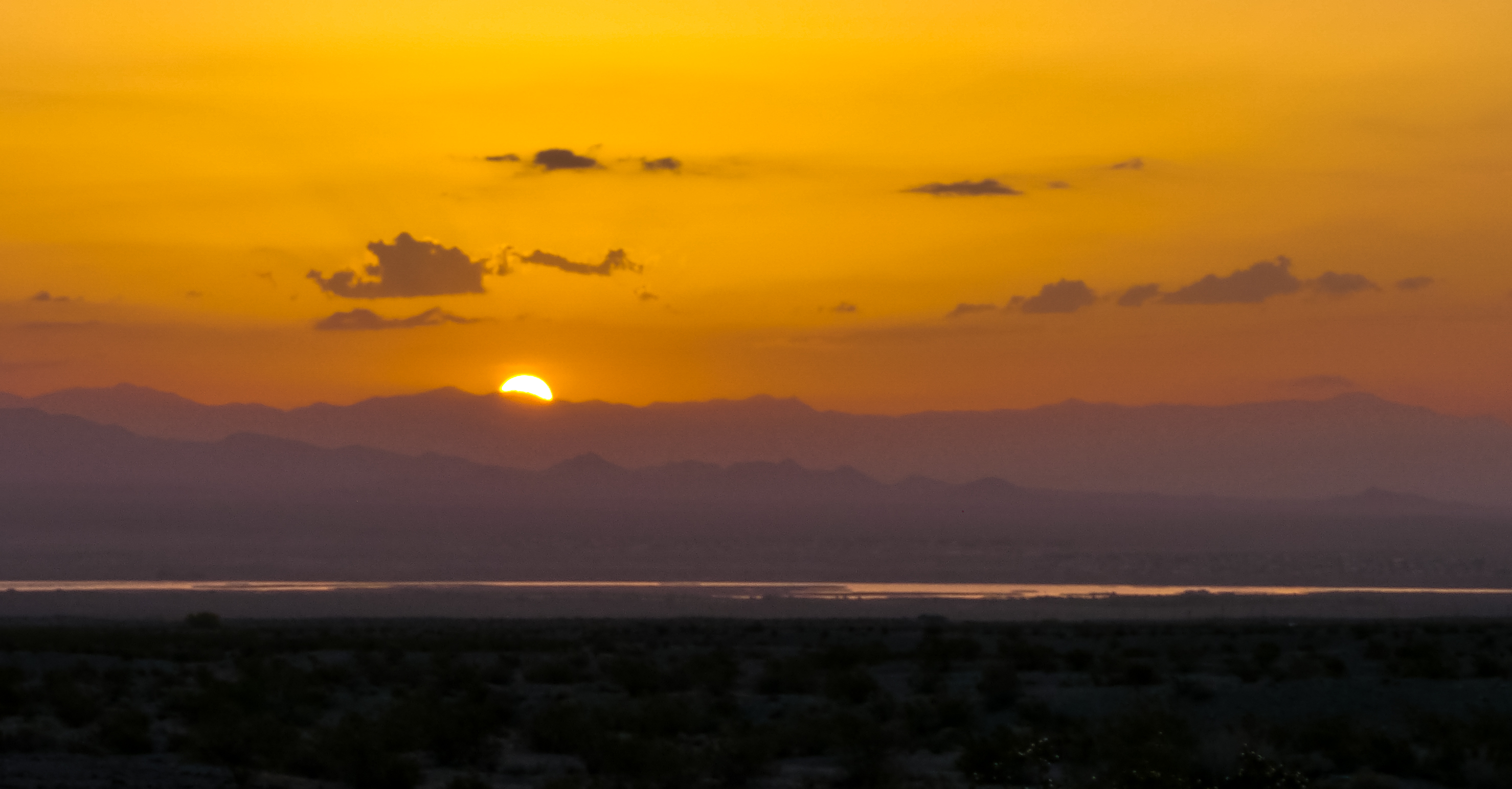
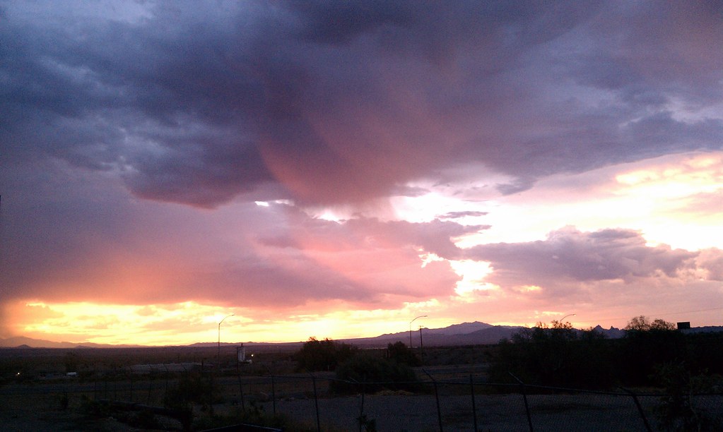
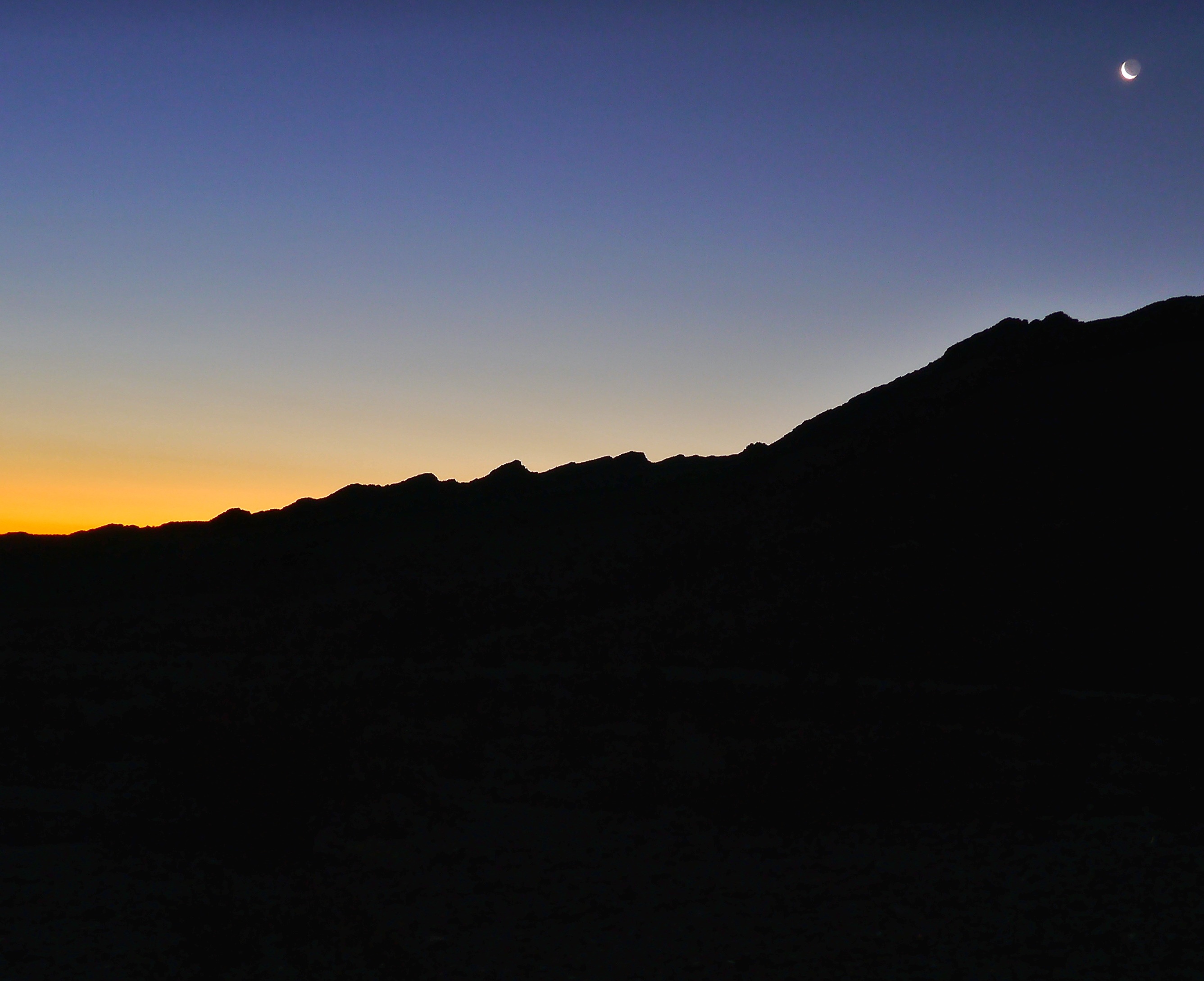
Fotos
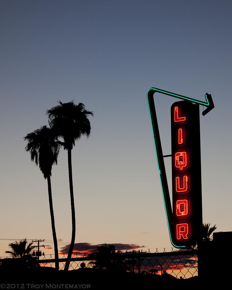
Neon Liquor Sign, Needles, CA

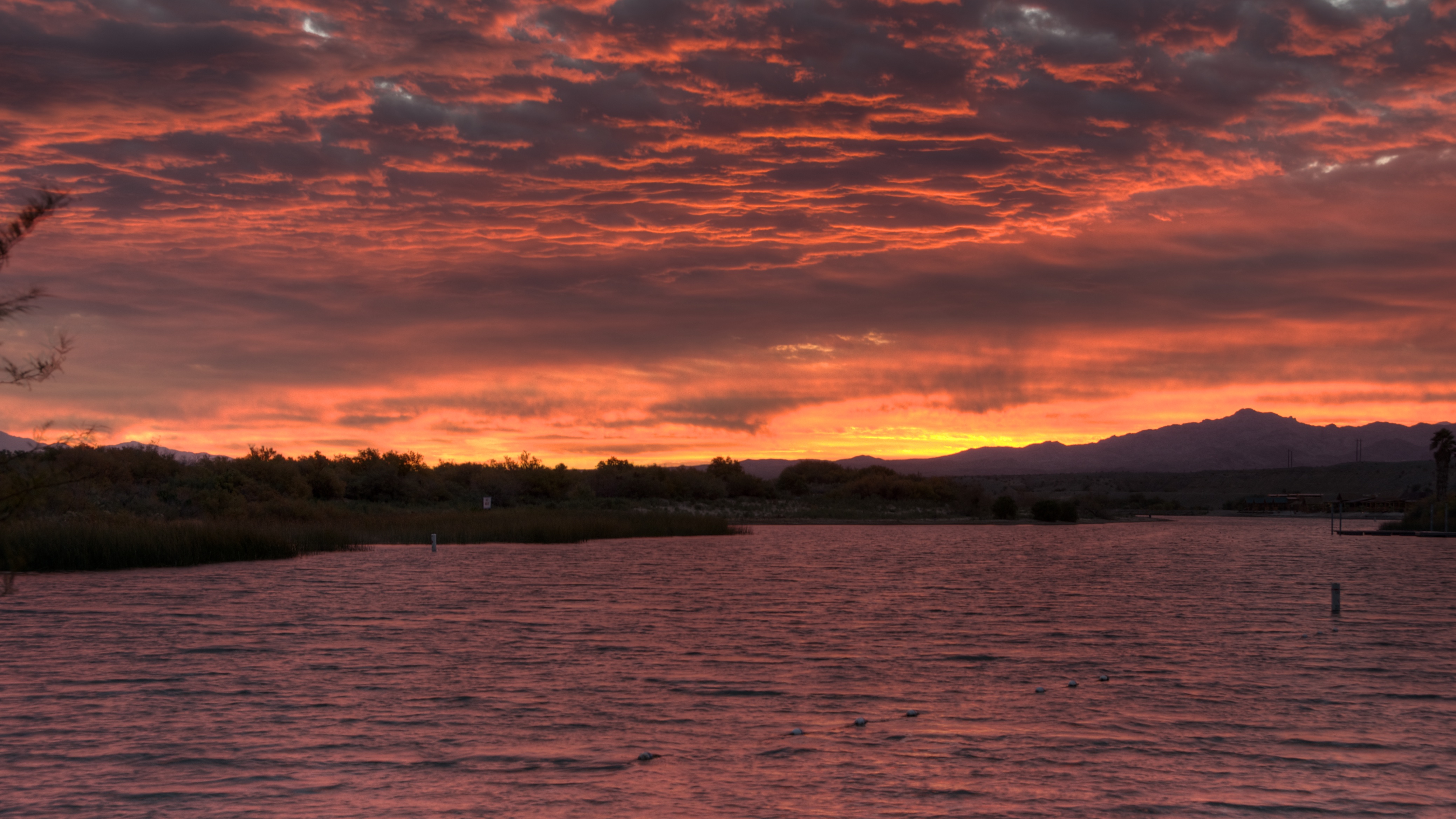
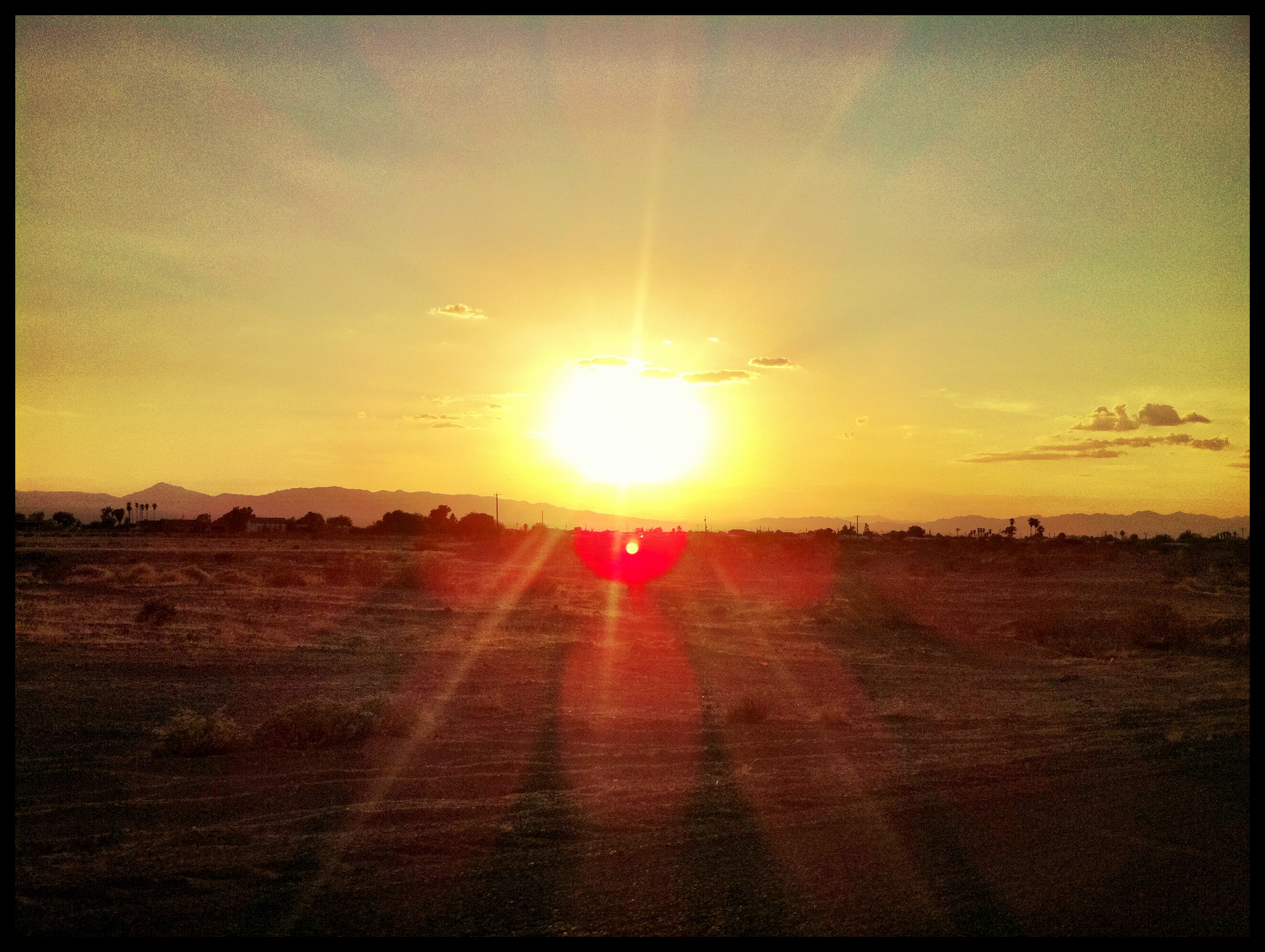
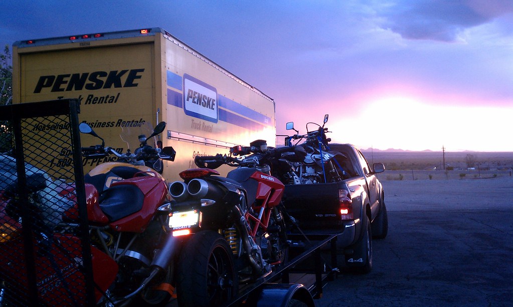
Colorado River Sunset

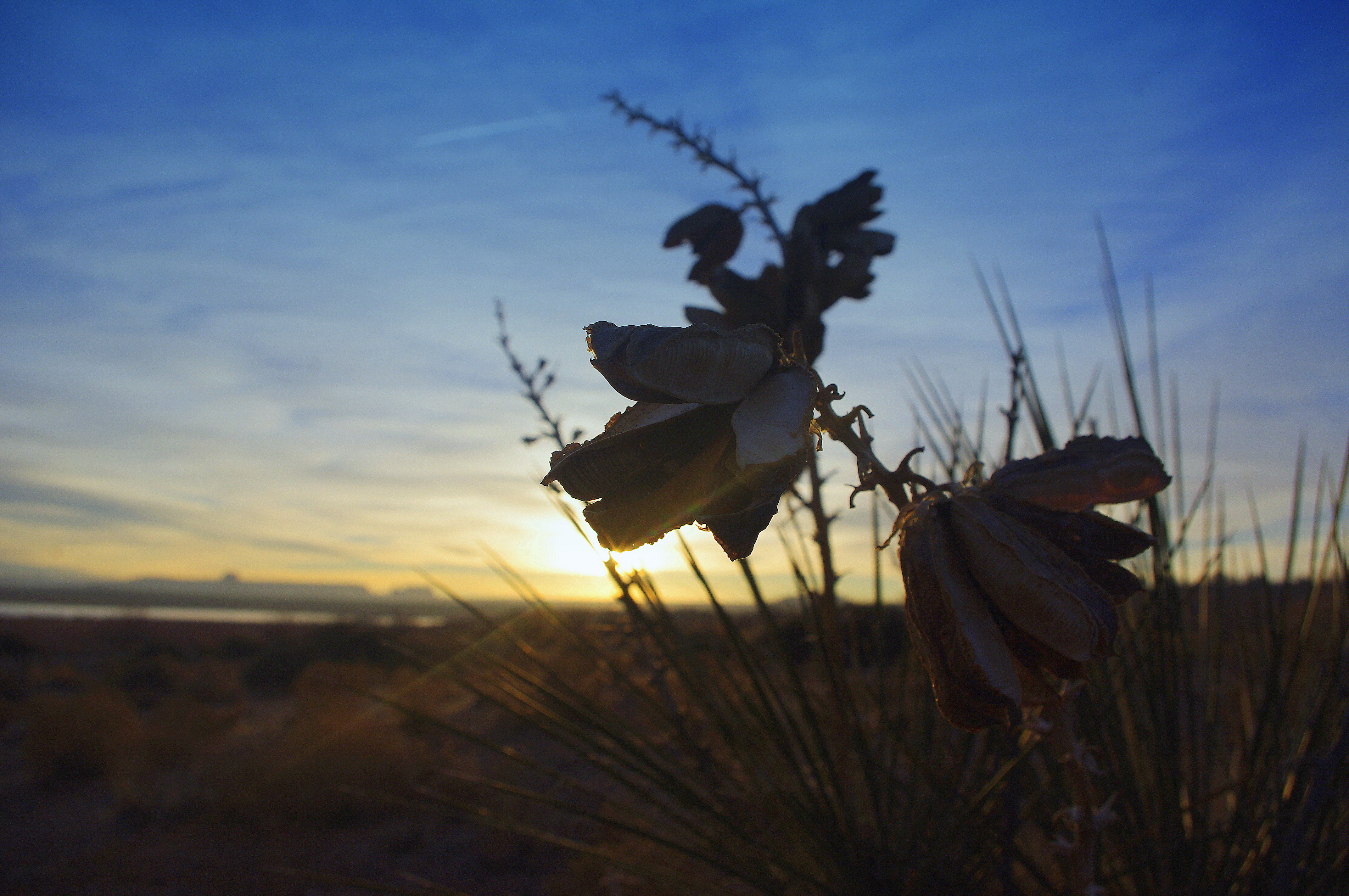
#sunrise @LovesTravel #arizona

#sunrise #arizona @LovesTravel
sunrise 2
Morning sunrise
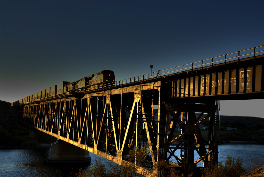
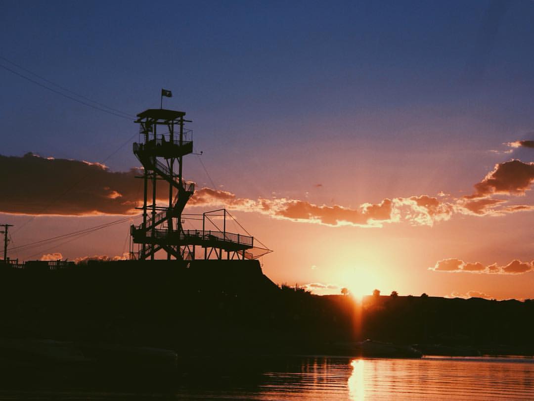
Bridge Crossing at Sunset

怀念Route66 #route66

ROUTE66_2249 - NEEDLES CA
Lake Powell, Az
Route 66 - Victorville - Barstow - 40 - 66 - Topock - Oatman - Kingman
The Glory..#studio354
" A river seems a magic thing. A magic, moving, living part of the very earth itself." #vsco #vscocam #studio354

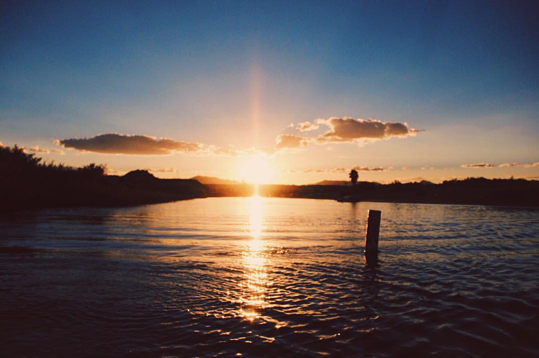
Docks, breeze, and sunrise

P1020177.jpg
P1020177.jpg

P1020177.jpg

#sunrise @LovesTravel #sky #morning #Arizona #truckstop
Beautiful Sunrise in Needles
Beautiful Sunrise in Needles

P1020177.jpg
Beautiful Sunrise in Needles
Mohave Valley Sunrise.
Headed into the sunrise

P1020177.jpg
Oatman-Topock Hwy, Topock, AZ, USA Karte
Suchen Sie einen anderen Ort
Nahe Plätze
Park Drive, Park Dr, Topock, AZ, USA
Topock, AZ, USA
Red Rock Bridge, Needles, Kalifornien, USA
Powell Lake Rd, Topock, AZ, USA
Oatman Highway, Topock, AZ, USA
Pinal Pl, Topock, AZ, USA
Pima Pkwy, Topock, AZ, USA
The Needles, Arizona, USA
5 Mile Rd, Needles, CA, USA
Needles Airport-Eed, Airport Rd, Needles, CA, USA
Hammond Cir, Mohave Valley, AZ, USA
Arizona Village, Arizona, USA
Regents Rd, Mohave Valley, AZ, USA
Casa Linda St, Needles, CA, USA
Lillyhill Dr, Needles, CA, USA
Chestnut St, Needles, CA, USA
Needles, Kalifornien, USA
Palo Verde Dr, Mohave Valley, AZ, USA
Cottonwood Ln, Mohave Valley, AZ, USA
East Levee Drive, E Levee Dr, Mohave Valley, AZ, USA
Letzte Suche
- Costa Brava, Provinz Girona, Spanien Sonnenaufgang Sonnenuntergang Zeiten
- The Point Overlook Vista Access Trail, The Point Overlook Vis Acc Trl, Virginia, USA Sonnenaufgang Sonnenuntergang Zeiten
- 6 Muir St, Medowie NSW, Australien Sonnenaufgang Sonnenuntergang Zeiten
- Turner Mill Rd, Talladega, AL, USA Sonnenaufgang Sonnenuntergang Zeiten
- Dogwood Ln, Millsboro, DE, USA Sonnenaufgang Sonnenuntergang Zeiten
- Purchil, Granada, Spanien Sonnenaufgang Sonnenuntergang Zeiten
- Pacific View Dr, Malibu, CA, USA Sonnenaufgang Sonnenuntergang Zeiten
- Japan, 〒- Kanagawa, Yokohama, Aoba Ward, Aobadai, 1-chōme−11−4 Sonnenaufgang Sonnenuntergang Zeiten
- Eldorado do Sul - Rio Grande do Sul, Brasilien Sonnenaufgang Sonnenuntergang Zeiten
- Eldorado do Sul - Parque Eldorado, Eldorado do Sul - RS, -, Brasilien Sonnenaufgang Sonnenuntergang Zeiten