Myrtle Falls Trail, West Side Rd, Bonners Ferry, ID, USA Sonnenaufgang Sonnenuntergang Zeiten
Location: USA > Idaho > Bonners Ferry >
Zeitzone:
America/Los_Angeles
Ortszeit:
2024-05-02 05:14:54
Länge:
-116.4163984
Breite:
48.7073396
Sonnenaufgang Heute:
05:21:56 AM
Sonnenuntergang Heute:
08:03:09 PM
Tageslänge heute:
14h 41m 13s
Sonnenaufgang morgen:
05:20:18 AM
Sonnenuntergang Morgen:
08:04:36 PM
Tageslänge von morgen:
14h 44m 18s
Alle Termine anzeigen
| Datum | Sonnenaufgang | Sonnenuntergang | Tageslänge |
|---|---|---|---|
| 2024-01-01 | 07:38:16 AM | 04:00:48 PM | 8h 22m 32s |
| 2024-01-02 | 07:38:10 AM | 04:01:49 PM | 8h 23m 39s |
| 2024-01-03 | 07:38:02 AM | 04:02:53 PM | 8h 24m 51s |
| 2024-01-04 | 07:37:50 AM | 04:03:59 PM | 8h 26m 9s |
| 2024-01-05 | 07:37:35 AM | 04:05:06 PM | 8h 27m 31s |
| 2024-01-06 | 07:37:18 AM | 04:06:16 PM | 8h 28m 58s |
| 2024-01-07 | 07:36:57 AM | 04:07:28 PM | 8h 30m 31s |
| 2024-01-08 | 07:36:34 AM | 04:08:42 PM | 8h 32m 8s |
| 2024-01-09 | 07:36:08 AM | 04:09:57 PM | 8h 33m 49s |
| 2024-01-10 | 07:35:38 AM | 04:11:15 PM | 8h 35m 37s |
| 2024-01-11 | 07:35:06 AM | 04:12:34 PM | 8h 37m 28s |
| 2024-01-12 | 07:34:32 AM | 04:13:54 PM | 8h 39m 22s |
| 2024-01-13 | 07:33:54 AM | 04:15:16 PM | 8h 41m 22s |
| 2024-01-14 | 07:33:14 AM | 04:16:39 PM | 8h 43m 25s |
| 2024-01-15 | 07:32:31 AM | 04:18:04 PM | 8h 45m 33s |
| 2024-01-16 | 07:31:45 AM | 04:19:30 PM | 8h 47m 45s |
| 2024-01-17 | 07:30:57 AM | 04:20:58 PM | 8h 50m 1s |
| 2024-01-18 | 07:30:06 AM | 04:22:26 PM | 8h 52m 20s |
| 2024-01-19 | 07:29:13 AM | 04:23:56 PM | 8h 54m 43s |
| 2024-01-20 | 07:28:17 AM | 04:25:26 PM | 8h 57m 9s |
| 2024-01-21 | 07:27:18 AM | 04:26:58 PM | 8h 59m 40s |
| 2024-01-22 | 07:26:18 AM | 04:28:30 PM | 9h 2m 12s |
| 2024-01-23 | 07:25:14 AM | 04:30:03 PM | 9h 4m 49s |
| 2024-01-24 | 07:24:09 AM | 04:31:37 PM | 9h 7m 28s |
| 2024-01-25 | 07:23:01 AM | 04:33:12 PM | 9h 10m 11s |
| 2024-01-26 | 07:21:51 AM | 04:34:47 PM | 9h 12m 56s |
| 2024-01-27 | 07:20:39 AM | 04:36:22 PM | 9h 15m 43s |
| 2024-01-28 | 07:19:25 AM | 04:37:59 PM | 9h 18m 34s |
| 2024-01-29 | 07:18:09 AM | 04:39:35 PM | 9h 21m 26s |
| 2024-01-30 | 07:16:51 AM | 04:41:12 PM | 9h 24m 21s |
| 2024-01-31 | 07:15:30 AM | 04:42:50 PM | 9h 27m 20s |
| 2024-02-01 | 07:14:08 AM | 04:44:28 PM | 9h 30m 20s |
| 2024-02-02 | 07:12:44 AM | 04:46:06 PM | 9h 33m 22s |
| 2024-02-03 | 07:11:18 AM | 04:47:44 PM | 9h 36m 26s |
| 2024-02-04 | 07:09:50 AM | 04:49:22 PM | 9h 39m 32s |
| 2024-02-05 | 07:08:21 AM | 04:51:01 PM | 9h 42m 40s |
| 2024-02-06 | 07:06:50 AM | 04:52:39 PM | 9h 45m 49s |
| 2024-02-07 | 07:05:17 AM | 04:54:18 PM | 9h 49m 1s |
| 2024-02-08 | 07:03:43 AM | 04:55:56 PM | 9h 52m 13s |
| 2024-02-09 | 07:02:07 AM | 04:57:35 PM | 9h 55m 28s |
| 2024-02-10 | 07:00:29 AM | 04:59:14 PM | 9h 58m 45s |
| 2024-02-11 | 06:58:50 AM | 05:00:52 PM | 10h 2m 2s |
| 2024-02-12 | 06:57:10 AM | 05:02:31 PM | 10h 5m 21s |
| 2024-02-13 | 06:55:28 AM | 05:04:09 PM | 10h 8m 41s |
| 2024-02-14 | 06:53:45 AM | 05:05:47 PM | 10h 12m 2s |
| 2024-02-15 | 06:52:01 AM | 05:07:25 PM | 10h 15m 24s |
| 2024-02-16 | 06:50:15 AM | 05:09:03 PM | 10h 18m 48s |
| 2024-02-17 | 06:48:28 AM | 05:10:40 PM | 10h 22m 12s |
| 2024-02-18 | 06:46:40 AM | 05:12:18 PM | 10h 25m 38s |
| 2024-02-19 | 06:44:51 AM | 05:13:55 PM | 10h 29m 4s |
| 2024-02-20 | 06:43:01 AM | 05:15:32 PM | 10h 32m 31s |
| 2024-02-21 | 06:41:10 AM | 05:17:09 PM | 10h 35m 59s |
| 2024-02-22 | 06:39:18 AM | 05:18:45 PM | 10h 39m 27s |
| 2024-02-23 | 06:37:25 AM | 05:20:22 PM | 10h 42m 57s |
| 2024-02-24 | 06:35:31 AM | 05:21:58 PM | 10h 46m 27s |
| 2024-02-25 | 06:33:36 AM | 05:23:33 PM | 10h 49m 57s |
| 2024-02-26 | 06:31:40 AM | 05:25:09 PM | 10h 53m 29s |
| 2024-02-27 | 06:29:43 AM | 05:26:44 PM | 10h 57m 1s |
| 2024-02-28 | 06:27:46 AM | 05:28:19 PM | 11h 0m 33s |
| 2024-02-29 | 06:25:48 AM | 05:29:53 PM | 11h 4m 5s |
| 2024-03-01 | 06:23:49 AM | 05:31:27 PM | 11h 7m 38s |
| 2024-03-02 | 06:21:49 AM | 05:33:01 PM | 11h 11m 12s |
| 2024-03-03 | 06:19:49 AM | 05:34:35 PM | 11h 14m 46s |
| 2024-03-04 | 06:17:48 AM | 05:36:09 PM | 11h 18m 21s |
| 2024-03-05 | 06:15:47 AM | 05:37:42 PM | 11h 21m 55s |
| 2024-03-06 | 06:13:45 AM | 05:39:15 PM | 11h 25m 30s |
| 2024-03-07 | 06:11:43 AM | 05:40:48 PM | 11h 29m 5s |
| 2024-03-08 | 06:09:40 AM | 05:42:20 PM | 11h 32m 40s |
| 2024-03-09 | 06:07:37 AM | 05:43:52 PM | 11h 36m 15s |
| 2024-03-10 | 07:05:38 AM | 06:45:20 PM | 11h 39m 42s |
| 2024-03-11 | 07:03:34 AM | 06:46:52 PM | 11h 43m 18s |
| 2024-03-12 | 07:01:30 AM | 06:48:24 PM | 11h 46m 54s |
| 2024-03-13 | 06:59:26 AM | 06:49:55 PM | 11h 50m 29s |
| 2024-03-14 | 06:57:21 AM | 06:51:26 PM | 11h 54m 5s |
| 2024-03-15 | 06:55:16 AM | 06:52:57 PM | 11h 57m 41s |
| 2024-03-16 | 06:53:10 AM | 06:54:28 PM | 12h 1m 18s |
| 2024-03-17 | 06:51:05 AM | 06:55:58 PM | 12h 4m 53s |
| 2024-03-18 | 06:48:59 AM | 06:57:29 PM | 12h 8m 30s |
| 2024-03-19 | 06:46:53 AM | 06:58:59 PM | 12h 12m 6s |
| 2024-03-20 | 06:44:48 AM | 07:00:29 PM | 12h 15m 41s |
| 2024-03-21 | 06:42:42 AM | 07:01:59 PM | 12h 19m 17s |
| 2024-03-22 | 06:40:36 AM | 07:03:29 PM | 12h 22m 53s |
| 2024-03-23 | 06:38:30 AM | 07:04:59 PM | 12h 26m 29s |
| 2024-03-24 | 06:36:24 AM | 07:06:28 PM | 12h 30m 4s |
| 2024-03-25 | 06:34:18 AM | 07:07:58 PM | 12h 33m 40s |
| 2024-03-26 | 06:32:13 AM | 07:09:27 PM | 12h 37m 14s |
| 2024-03-27 | 06:30:07 AM | 07:10:57 PM | 12h 40m 50s |
| 2024-03-28 | 06:28:02 AM | 07:12:26 PM | 12h 44m 24s |
| 2024-03-29 | 06:25:57 AM | 07:13:55 PM | 12h 47m 58s |
| 2024-03-30 | 06:23:52 AM | 07:15:24 PM | 12h 51m 32s |
| 2024-03-31 | 06:21:47 AM | 07:16:53 PM | 12h 55m 6s |
| 2024-04-01 | 06:19:43 AM | 07:18:23 PM | 12h 58m 40s |
| 2024-04-02 | 06:17:39 AM | 07:19:52 PM | 13h 2m 13s |
| 2024-04-03 | 06:15:35 AM | 07:21:21 PM | 13h 5m 46s |
| 2024-04-04 | 06:13:32 AM | 07:22:50 PM | 13h 9m 18s |
| 2024-04-05 | 06:11:29 AM | 07:24:19 PM | 13h 12m 50s |
| 2024-04-06 | 06:09:26 AM | 07:25:48 PM | 13h 16m 22s |
| 2024-04-07 | 06:07:24 AM | 07:27:16 PM | 13h 19m 52s |
| 2024-04-08 | 06:05:23 AM | 07:28:45 PM | 13h 23m 22s |
| 2024-04-09 | 06:03:22 AM | 07:30:14 PM | 13h 26m 52s |
| 2024-04-10 | 06:01:22 AM | 07:31:43 PM | 13h 30m 21s |
| 2024-04-11 | 05:59:22 AM | 07:33:12 PM | 13h 33m 50s |
| 2024-04-12 | 05:57:23 AM | 07:34:41 PM | 13h 37m 18s |
| 2024-04-13 | 05:55:25 AM | 07:36:10 PM | 13h 40m 45s |
| 2024-04-14 | 05:53:27 AM | 07:37:39 PM | 13h 44m 12s |
| 2024-04-15 | 05:51:30 AM | 07:39:08 PM | 13h 47m 38s |
| 2024-04-16 | 05:49:34 AM | 07:40:36 PM | 13h 51m 2s |
| 2024-04-17 | 05:47:39 AM | 07:42:05 PM | 13h 54m 26s |
| 2024-04-18 | 05:45:45 AM | 07:43:34 PM | 13h 57m 49s |
| 2024-04-19 | 05:43:51 AM | 07:45:02 PM | 14h 1m 11s |
| 2024-04-20 | 05:41:59 AM | 07:46:31 PM | 14h 4m 32s |
| 2024-04-21 | 05:40:07 AM | 07:48:00 PM | 14h 7m 53s |
| 2024-04-22 | 05:38:16 AM | 07:49:28 PM | 14h 11m 12s |
| 2024-04-23 | 05:36:27 AM | 07:50:56 PM | 14h 14m 29s |
| 2024-04-24 | 05:34:38 AM | 07:52:25 PM | 14h 17m 47s |
| 2024-04-25 | 05:32:51 AM | 07:53:53 PM | 14h 21m 2s |
| 2024-04-26 | 05:31:05 AM | 07:55:21 PM | 14h 24m 16s |
| 2024-04-27 | 05:29:20 AM | 07:56:48 PM | 14h 27m 28s |
| 2024-04-28 | 05:27:36 AM | 07:58:16 PM | 14h 30m 40s |
| 2024-04-29 | 05:25:54 AM | 07:59:43 PM | 14h 33m 49s |
| 2024-04-30 | 05:24:13 AM | 08:01:10 PM | 14h 36m 57s |
| 2024-05-01 | 05:22:33 AM | 08:02:37 PM | 14h 40m 4s |
| 2024-05-02 | 05:20:55 AM | 08:04:03 PM | 14h 43m 8s |
| 2024-05-03 | 05:19:18 AM | 08:05:29 PM | 14h 46m 11s |
| 2024-05-04 | 05:17:43 AM | 08:06:55 PM | 14h 49m 12s |
| 2024-05-05 | 05:16:09 AM | 08:08:20 PM | 14h 52m 11s |
| 2024-05-06 | 05:14:36 AM | 08:09:45 PM | 14h 55m 9s |
| 2024-05-07 | 05:13:06 AM | 08:11:10 PM | 14h 58m 4s |
| 2024-05-08 | 05:11:37 AM | 08:12:34 PM | 15h 0m 57s |
| 2024-05-09 | 05:10:10 AM | 08:13:57 PM | 15h 3m 47s |
| 2024-05-10 | 05:08:44 AM | 08:15:20 PM | 15h 6m 36s |
| 2024-05-11 | 05:07:20 AM | 08:16:42 PM | 15h 9m 22s |
| 2024-05-12 | 05:05:58 AM | 08:18:03 PM | 15h 12m 5s |
| 2024-05-13 | 05:04:38 AM | 08:19:24 PM | 15h 14m 46s |
| 2024-05-14 | 05:03:20 AM | 08:20:44 PM | 15h 17m 24s |
| 2024-05-15 | 05:02:04 AM | 08:22:03 PM | 15h 19m 59s |
| 2024-05-16 | 05:00:50 AM | 08:23:21 PM | 15h 22m 31s |
| 2024-05-17 | 04:59:38 AM | 08:24:38 PM | 15h 25m 0s |
| 2024-05-18 | 04:58:28 AM | 08:25:54 PM | 15h 27m 26s |
| 2024-05-19 | 04:57:20 AM | 08:27:10 PM | 15h 29m 50s |
| 2024-05-20 | 04:56:14 AM | 08:28:24 PM | 15h 32m 10s |
| 2024-05-21 | 04:55:10 AM | 08:29:37 PM | 15h 34m 27s |
| 2024-05-22 | 04:54:09 AM | 08:30:48 PM | 15h 36m 39s |
| 2024-05-23 | 04:53:10 AM | 08:31:59 PM | 15h 38m 49s |
| 2024-05-24 | 04:52:13 AM | 08:33:08 PM | 15h 40m 55s |
| 2024-05-25 | 04:51:19 AM | 08:34:16 PM | 15h 42m 57s |
| 2024-05-26 | 04:50:27 AM | 08:35:22 PM | 15h 44m 55s |
| 2024-05-27 | 04:49:37 AM | 08:36:27 PM | 15h 46m 50s |
| 2024-05-28 | 04:48:50 AM | 08:37:30 PM | 15h 48m 40s |
| 2024-05-29 | 04:48:06 AM | 08:38:32 PM | 15h 50m 26s |
| 2024-05-30 | 04:47:23 AM | 08:39:32 PM | 15h 52m 9s |
| 2024-05-31 | 04:46:44 AM | 08:40:30 PM | 15h 53m 46s |
| 2024-06-01 | 04:46:07 AM | 08:41:26 PM | 15h 55m 19s |
| 2024-06-02 | 04:45:33 AM | 08:42:20 PM | 15h 56m 47s |
| 2024-06-03 | 04:45:01 AM | 08:43:13 PM | 15h 58m 12s |
| 2024-06-04 | 04:44:32 AM | 08:44:04 PM | 15h 59m 32s |
| 2024-06-05 | 04:44:05 AM | 08:44:52 PM | 16h 0m 47s |
| 2024-06-06 | 04:43:41 AM | 08:45:39 PM | 16h 1m 58s |
| 2024-06-07 | 04:43:20 AM | 08:46:23 PM | 16h 3m 3s |
| 2024-06-08 | 04:43:02 AM | 08:47:05 PM | 16h 4m 3s |
| 2024-06-09 | 04:42:46 AM | 08:47:45 PM | 16h 4m 59s |
| 2024-06-10 | 04:42:33 AM | 08:48:22 PM | 16h 5m 49s |
| 2024-06-11 | 04:42:23 AM | 08:48:58 PM | 16h 6m 35s |
| 2024-06-12 | 04:42:15 AM | 08:49:30 PM | 16h 7m 15s |
| 2024-06-13 | 04:42:10 AM | 08:50:01 PM | 16h 7m 51s |
| 2024-06-14 | 04:42:08 AM | 08:50:29 PM | 16h 8m 21s |
| 2024-06-15 | 04:42:09 AM | 08:50:54 PM | 16h 8m 45s |
| 2024-06-16 | 04:42:12 AM | 08:51:17 PM | 16h 9m 5s |
| 2024-06-17 | 04:42:18 AM | 08:51:37 PM | 16h 9m 19s |
| 2024-06-18 | 04:42:26 AM | 08:51:55 PM | 16h 9m 29s |
| 2024-06-19 | 04:42:37 AM | 08:52:10 PM | 16h 9m 33s |
| 2024-06-20 | 04:42:51 AM | 08:52:22 PM | 16h 9m 31s |
| 2024-06-21 | 04:43:07 AM | 08:52:32 PM | 16h 9m 25s |
| 2024-06-22 | 04:43:26 AM | 08:52:39 PM | 16h 9m 13s |
| 2024-06-23 | 04:43:48 AM | 08:52:43 PM | 16h 8m 55s |
| 2024-06-24 | 04:44:11 AM | 08:52:45 PM | 16h 8m 34s |
| 2024-06-25 | 04:44:38 AM | 08:52:44 PM | 16h 8m 6s |
| 2024-06-26 | 04:45:07 AM | 08:52:40 PM | 16h 7m 33s |
| 2024-06-27 | 04:45:38 AM | 08:52:33 PM | 16h 6m 55s |
| 2024-06-28 | 04:46:11 AM | 08:52:24 PM | 16h 6m 13s |
| 2024-06-29 | 04:46:47 AM | 08:52:11 PM | 16h 5m 24s |
| 2024-06-30 | 04:47:25 AM | 08:51:56 PM | 16h 4m 31s |
| 2024-07-01 | 04:48:05 AM | 08:51:39 PM | 16h 3m 34s |
| 2024-07-02 | 04:48:47 AM | 08:51:18 PM | 16h 2m 31s |
| 2024-07-03 | 04:49:32 AM | 08:50:55 PM | 16h 1m 23s |
| 2024-07-04 | 04:50:18 AM | 08:50:29 PM | 16h 0m 11s |
| 2024-07-05 | 04:51:07 AM | 08:50:01 PM | 15h 58m 54s |
| 2024-07-06 | 04:51:57 AM | 08:49:29 PM | 15h 57m 32s |
| 2024-07-07 | 04:52:49 AM | 08:48:55 PM | 15h 56m 6s |
| 2024-07-08 | 04:53:43 AM | 08:48:19 PM | 15h 54m 36s |
| 2024-07-09 | 04:54:39 AM | 08:47:40 PM | 15h 53m 1s |
| 2024-07-10 | 04:55:36 AM | 08:46:58 PM | 15h 51m 22s |
| 2024-07-11 | 04:56:35 AM | 08:46:14 PM | 15h 49m 39s |
| 2024-07-12 | 04:57:36 AM | 08:45:27 PM | 15h 47m 51s |
| 2024-07-13 | 04:58:38 AM | 08:44:38 PM | 15h 46m 0s |
| 2024-07-14 | 04:59:42 AM | 08:43:46 PM | 15h 44m 4s |
| 2024-07-15 | 05:00:47 AM | 08:42:52 PM | 15h 42m 5s |
| 2024-07-16 | 05:01:53 AM | 08:41:55 PM | 15h 40m 2s |
| 2024-07-17 | 05:03:01 AM | 08:40:56 PM | 15h 37m 55s |
| 2024-07-18 | 05:04:10 AM | 08:39:55 PM | 15h 35m 45s |
| 2024-07-19 | 05:05:19 AM | 08:38:52 PM | 15h 33m 33s |
| 2024-07-20 | 05:06:31 AM | 08:37:46 PM | 15h 31m 15s |
| 2024-07-21 | 05:07:43 AM | 08:36:38 PM | 15h 28m 55s |
| 2024-07-22 | 05:08:56 AM | 08:35:28 PM | 15h 26m 32s |
| 2024-07-23 | 05:10:10 AM | 08:34:16 PM | 15h 24m 6s |
| 2024-07-24 | 05:11:25 AM | 08:33:01 PM | 15h 21m 36s |
| 2024-07-25 | 05:12:41 AM | 08:31:45 PM | 15h 19m 4s |
| 2024-07-26 | 05:13:57 AM | 08:30:27 PM | 15h 16m 30s |
| 2024-07-27 | 05:15:14 AM | 08:29:07 PM | 15h 13m 53s |
| 2024-07-28 | 05:16:32 AM | 08:27:44 PM | 15h 11m 12s |
| 2024-07-29 | 05:17:51 AM | 08:26:20 PM | 15h 8m 29s |
| 2024-07-30 | 05:19:10 AM | 08:24:55 PM | 15h 5m 45s |
| 2024-07-31 | 05:20:30 AM | 08:23:27 PM | 15h 2m 57s |
| 2024-08-01 | 05:21:50 AM | 08:21:58 PM | 15h 0m 8s |
| 2024-08-02 | 05:23:11 AM | 08:20:27 PM | 14h 57m 16s |
| 2024-08-03 | 05:24:32 AM | 08:18:54 PM | 14h 54m 22s |
| 2024-08-04 | 05:25:54 AM | 08:17:20 PM | 14h 51m 26s |
| 2024-08-05 | 05:27:16 AM | 08:15:44 PM | 14h 48m 28s |
| 2024-08-06 | 05:28:38 AM | 08:14:07 PM | 14h 45m 29s |
| 2024-08-07 | 05:30:01 AM | 08:12:28 PM | 14h 42m 27s |
| 2024-08-08 | 05:31:24 AM | 08:10:48 PM | 14h 39m 24s |
| 2024-08-09 | 05:32:47 AM | 08:09:06 PM | 14h 36m 19s |
| 2024-08-10 | 05:34:10 AM | 08:07:24 PM | 14h 33m 14s |
| 2024-08-11 | 05:35:33 AM | 08:05:39 PM | 14h 30m 6s |
| 2024-08-12 | 05:36:57 AM | 08:03:54 PM | 14h 26m 57s |
| 2024-08-13 | 05:38:21 AM | 08:02:07 PM | 14h 23m 46s |
| 2024-08-14 | 05:39:45 AM | 08:00:19 PM | 14h 20m 34s |
| 2024-08-15 | 05:41:09 AM | 07:58:30 PM | 14h 17m 21s |
| 2024-08-16 | 05:42:33 AM | 07:56:40 PM | 14h 14m 7s |
| 2024-08-17 | 05:43:57 AM | 07:54:49 PM | 14h 10m 52s |
| 2024-08-18 | 05:45:21 AM | 07:52:56 PM | 14h 7m 35s |
| 2024-08-19 | 05:46:46 AM | 07:51:03 PM | 14h 4m 17s |
| 2024-08-20 | 05:48:10 AM | 07:49:09 PM | 14h 0m 59s |
| 2024-08-21 | 05:49:34 AM | 07:47:14 PM | 13h 57m 40s |
| 2024-08-22 | 05:50:59 AM | 07:45:18 PM | 13h 54m 19s |
| 2024-08-23 | 05:52:23 AM | 07:43:21 PM | 13h 50m 58s |
| 2024-08-24 | 05:53:47 AM | 07:41:23 PM | 13h 47m 36s |
| 2024-08-25 | 05:55:12 AM | 07:39:24 PM | 13h 44m 12s |
| 2024-08-26 | 05:56:36 AM | 07:37:25 PM | 13h 40m 49s |
| 2024-08-27 | 05:58:00 AM | 07:35:25 PM | 13h 37m 25s |
| 2024-08-28 | 05:59:25 AM | 07:33:24 PM | 13h 33m 59s |
| 2024-08-29 | 06:00:49 AM | 07:31:23 PM | 13h 30m 34s |
| 2024-08-30 | 06:02:13 AM | 07:29:21 PM | 13h 27m 8s |
| 2024-08-31 | 06:03:37 AM | 07:27:19 PM | 13h 23m 42s |
| 2024-09-01 | 06:05:02 AM | 07:25:16 PM | 13h 20m 14s |
| 2024-09-02 | 06:06:26 AM | 07:23:12 PM | 13h 16m 46s |
| 2024-09-03 | 06:07:50 AM | 07:21:08 PM | 13h 13m 18s |
| 2024-09-04 | 06:09:14 AM | 07:19:04 PM | 13h 9m 50s |
| 2024-09-05 | 06:10:38 AM | 07:16:59 PM | 13h 6m 21s |
| 2024-09-06 | 06:12:03 AM | 07:14:53 PM | 13h 2m 50s |
| 2024-09-07 | 06:13:27 AM | 07:12:48 PM | 12h 59m 21s |
| 2024-09-08 | 06:14:51 AM | 07:10:42 PM | 12h 55m 51s |
| 2024-09-09 | 06:16:15 AM | 07:08:35 PM | 12h 52m 20s |
| 2024-09-10 | 06:17:39 AM | 07:06:29 PM | 12h 48m 50s |
| 2024-09-11 | 06:19:04 AM | 07:04:22 PM | 12h 45m 18s |
| 2024-09-12 | 06:20:28 AM | 07:02:15 PM | 12h 41m 47s |
| 2024-09-13 | 06:21:52 AM | 07:00:08 PM | 12h 38m 16s |
| 2024-09-14 | 06:23:17 AM | 06:58:01 PM | 12h 34m 44s |
| 2024-09-15 | 06:24:41 AM | 06:55:53 PM | 12h 31m 12s |
| 2024-09-16 | 06:26:06 AM | 06:53:46 PM | 12h 27m 40s |
| 2024-09-17 | 06:27:31 AM | 06:51:38 PM | 12h 24m 7s |
| 2024-09-18 | 06:28:55 AM | 06:49:31 PM | 12h 20m 36s |
| 2024-09-19 | 06:30:20 AM | 06:47:23 PM | 12h 17m 3s |
| 2024-09-20 | 06:31:45 AM | 06:45:16 PM | 12h 13m 31s |
| 2024-09-21 | 06:33:11 AM | 06:43:08 PM | 12h 9m 57s |
| 2024-09-22 | 06:34:36 AM | 06:41:01 PM | 12h 6m 25s |
| 2024-09-23 | 06:36:01 AM | 06:38:53 PM | 12h 2m 52s |
| 2024-09-24 | 06:37:27 AM | 06:36:46 PM | 11h 59m 19s |
| 2024-09-25 | 06:38:53 AM | 06:34:39 PM | 11h 55m 46s |
| 2024-09-26 | 06:40:19 AM | 06:32:33 PM | 11h 52m 14s |
| 2024-09-27 | 06:41:45 AM | 06:30:26 PM | 11h 48m 41s |
| 2024-09-28 | 06:43:12 AM | 06:28:20 PM | 11h 45m 8s |
| 2024-09-29 | 06:44:38 AM | 06:26:14 PM | 11h 41m 36s |
| 2024-09-30 | 06:46:05 AM | 06:24:09 PM | 11h 38m 4s |
| 2024-10-01 | 06:47:32 AM | 06:22:04 PM | 11h 34m 32s |
| 2024-10-02 | 06:49:00 AM | 06:19:59 PM | 11h 30m 59s |
| 2024-10-03 | 06:50:27 AM | 06:17:55 PM | 11h 27m 28s |
| 2024-10-04 | 06:51:55 AM | 06:15:51 PM | 11h 23m 56s |
| 2024-10-05 | 06:53:23 AM | 06:13:47 PM | 11h 20m 24s |
| 2024-10-06 | 06:54:52 AM | 06:11:45 PM | 11h 16m 53s |
| 2024-10-07 | 06:56:21 AM | 06:09:42 PM | 11h 13m 21s |
| 2024-10-08 | 06:57:50 AM | 06:07:41 PM | 11h 9m 51s |
| 2024-10-09 | 06:59:19 AM | 06:05:40 PM | 11h 6m 21s |
| 2024-10-10 | 07:00:48 AM | 06:03:40 PM | 11h 2m 52s |
| 2024-10-11 | 07:02:18 AM | 06:01:40 PM | 10h 59m 22s |
| 2024-10-12 | 07:03:49 AM | 05:59:41 PM | 10h 55m 52s |
| 2024-10-13 | 07:05:19 AM | 05:57:43 PM | 10h 52m 24s |
| 2024-10-14 | 07:06:50 AM | 05:55:46 PM | 10h 48m 56s |
| 2024-10-15 | 07:08:21 AM | 05:53:49 PM | 10h 45m 28s |
| 2024-10-16 | 07:09:52 AM | 05:51:54 PM | 10h 42m 2s |
| 2024-10-17 | 07:11:24 AM | 05:49:59 PM | 10h 38m 35s |
| 2024-10-18 | 07:12:56 AM | 05:48:05 PM | 10h 35m 9s |
| 2024-10-19 | 07:14:28 AM | 05:46:13 PM | 10h 31m 45s |
| 2024-10-20 | 07:16:01 AM | 05:44:21 PM | 10h 28m 20s |
| 2024-10-21 | 07:17:34 AM | 05:42:31 PM | 10h 24m 57s |
| 2024-10-22 | 07:19:07 AM | 05:40:41 PM | 10h 21m 34s |
| 2024-10-23 | 07:20:40 AM | 05:38:53 PM | 10h 18m 13s |
| 2024-10-24 | 07:22:14 AM | 05:37:06 PM | 10h 14m 52s |
| 2024-10-25 | 07:23:47 AM | 05:35:20 PM | 10h 11m 33s |
| 2024-10-26 | 07:25:21 AM | 05:33:35 PM | 10h 8m 14s |
| 2024-10-27 | 07:26:56 AM | 05:31:52 PM | 10h 4m 56s |
| 2024-10-28 | 07:28:30 AM | 05:30:10 PM | 10h 1m 40s |
| 2024-10-29 | 07:30:04 AM | 05:28:30 PM | 9h 58m 26s |
| 2024-10-30 | 07:31:39 AM | 05:26:51 PM | 9h 55m 12s |
| 2024-10-31 | 07:33:14 AM | 05:25:13 PM | 9h 51m 59s |
| 2024-11-01 | 07:34:48 AM | 05:23:37 PM | 9h 48m 49s |
| 2024-11-02 | 07:36:23 AM | 05:22:03 PM | 9h 45m 40s |
| 2024-11-03 | 06:38:02 AM | 04:20:27 PM | 9h 42m 25s |
| 2024-11-04 | 06:39:37 AM | 04:18:56 PM | 9h 39m 19s |
| 2024-11-05 | 06:41:11 AM | 04:17:26 PM | 9h 36m 15s |
| 2024-11-06 | 06:42:46 AM | 04:15:59 PM | 9h 33m 13s |
| 2024-11-07 | 06:44:20 AM | 04:14:33 PM | 9h 30m 13s |
| 2024-11-08 | 06:45:55 AM | 04:13:10 PM | 9h 27m 15s |
| 2024-11-09 | 06:47:29 AM | 04:11:48 PM | 9h 24m 19s |
| 2024-11-10 | 06:49:02 AM | 04:10:28 PM | 9h 21m 26s |
| 2024-11-11 | 06:50:36 AM | 04:09:10 PM | 9h 18m 34s |
| 2024-11-12 | 06:52:09 AM | 04:07:54 PM | 9h 15m 45s |
| 2024-11-13 | 06:53:42 AM | 04:06:41 PM | 9h 12m 59s |
| 2024-11-14 | 06:55:14 AM | 04:05:29 PM | 9h 10m 15s |
| 2024-11-15 | 06:56:45 AM | 04:04:20 PM | 9h 7m 35s |
| 2024-11-16 | 06:58:16 AM | 04:03:13 PM | 9h 4m 57s |
| 2024-11-17 | 06:59:47 AM | 04:02:08 PM | 9h 2m 21s |
| 2024-11-18 | 07:01:17 AM | 04:01:06 PM | 8h 59m 49s |
| 2024-11-19 | 07:02:45 AM | 04:00:06 PM | 8h 57m 21s |
| 2024-11-20 | 07:04:14 AM | 03:59:08 PM | 8h 54m 54s |
| 2024-11-21 | 07:05:41 AM | 03:58:14 PM | 8h 52m 33s |
| 2024-11-22 | 07:07:07 AM | 03:57:21 PM | 8h 50m 14s |
| 2024-11-23 | 07:08:32 AM | 03:56:31 PM | 8h 47m 59s |
| 2024-11-24 | 07:09:56 AM | 03:55:44 PM | 8h 45m 48s |
| 2024-11-25 | 07:11:19 AM | 03:54:59 PM | 8h 43m 40s |
| 2024-11-26 | 07:12:40 AM | 03:54:18 PM | 8h 41m 38s |
| 2024-11-27 | 07:14:01 AM | 03:53:38 PM | 8h 39m 37s |
| 2024-11-28 | 07:15:20 AM | 03:53:02 PM | 8h 37m 42s |
| 2024-11-29 | 07:16:37 AM | 03:52:29 PM | 8h 35m 52s |
| 2024-11-30 | 07:17:53 AM | 03:51:58 PM | 8h 34m 5s |
| 2024-12-01 | 07:19:07 AM | 03:51:30 PM | 8h 32m 23s |
| 2024-12-02 | 07:20:19 AM | 03:51:05 PM | 8h 30m 46s |
| 2024-12-03 | 07:21:30 AM | 03:50:43 PM | 8h 29m 13s |
| 2024-12-04 | 07:22:39 AM | 03:50:24 PM | 8h 27m 45s |
| 2024-12-05 | 07:23:46 AM | 03:50:08 PM | 8h 26m 22s |
| 2024-12-06 | 07:24:51 AM | 03:49:55 PM | 8h 25m 4s |
| 2024-12-07 | 07:25:54 AM | 03:49:45 PM | 8h 23m 51s |
| 2024-12-08 | 07:26:54 AM | 03:49:38 PM | 8h 22m 44s |
| 2024-12-09 | 07:27:53 AM | 03:49:34 PM | 8h 21m 41s |
| 2024-12-10 | 07:28:49 AM | 03:49:34 PM | 8h 20m 45s |
| 2024-12-11 | 07:29:43 AM | 03:49:36 PM | 8h 19m 53s |
| 2024-12-12 | 07:30:35 AM | 03:49:41 PM | 8h 19m 6s |
| 2024-12-13 | 07:31:24 AM | 03:49:49 PM | 8h 18m 25s |
| 2024-12-14 | 07:32:10 AM | 03:50:01 PM | 8h 17m 51s |
| 2024-12-15 | 07:32:54 AM | 03:50:15 PM | 8h 17m 21s |
| 2024-12-16 | 07:33:36 AM | 03:50:32 PM | 8h 16m 56s |
| 2024-12-17 | 07:34:15 AM | 03:50:53 PM | 8h 16m 38s |
| 2024-12-18 | 07:34:51 AM | 03:51:16 PM | 8h 16m 25s |
| 2024-12-19 | 07:35:24 AM | 03:51:42 PM | 8h 16m 18s |
| 2024-12-20 | 07:35:54 AM | 03:52:11 PM | 8h 16m 17s |
| 2024-12-21 | 07:36:22 AM | 03:52:43 PM | 8h 16m 21s |
| 2024-12-22 | 07:36:47 AM | 03:53:18 PM | 8h 16m 31s |
| 2024-12-23 | 07:37:08 AM | 03:53:56 PM | 8h 16m 48s |
| 2024-12-24 | 07:37:27 AM | 03:54:37 PM | 8h 17m 10s |
| 2024-12-25 | 07:37:43 AM | 03:55:20 PM | 8h 17m 37s |
| 2024-12-26 | 07:37:56 AM | 03:56:06 PM | 8h 18m 10s |
| 2024-12-27 | 07:38:06 AM | 03:56:54 PM | 8h 18m 48s |
| 2024-12-28 | 07:38:13 AM | 03:57:45 PM | 8h 19m 32s |
| 2024-12-29 | 07:38:18 AM | 03:58:39 PM | 8h 20m 21s |
| 2024-12-30 | 07:38:19 AM | 03:59:35 PM | 8h 21m 16s |
Fotos
Exhale...
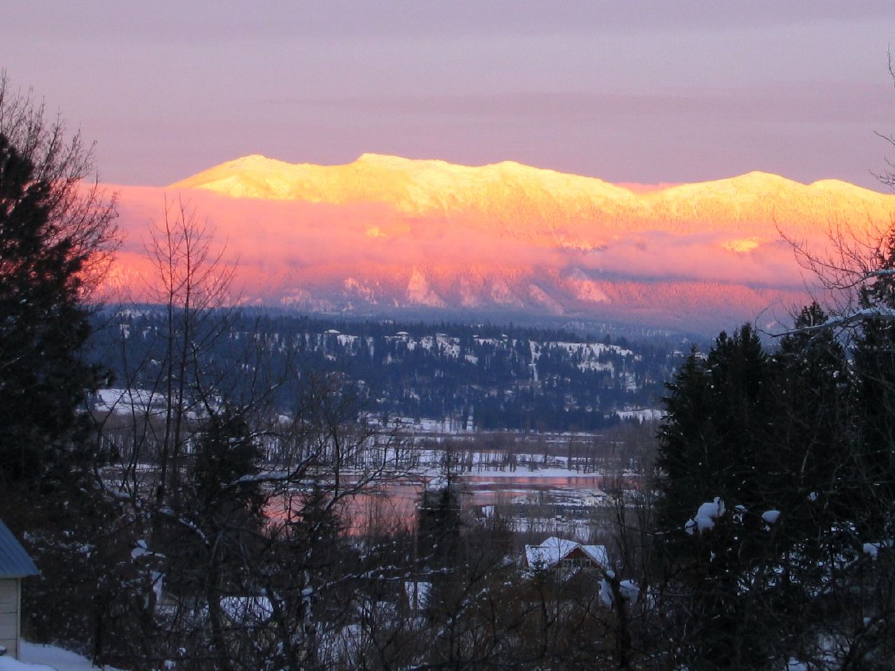
Sunset on the Selkirks
Sunset on the Selkirks
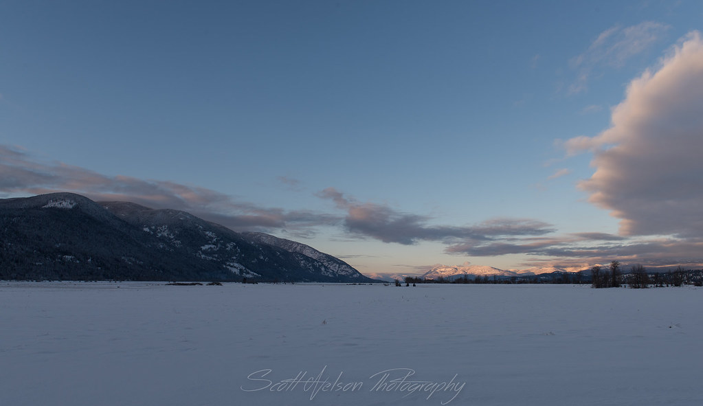
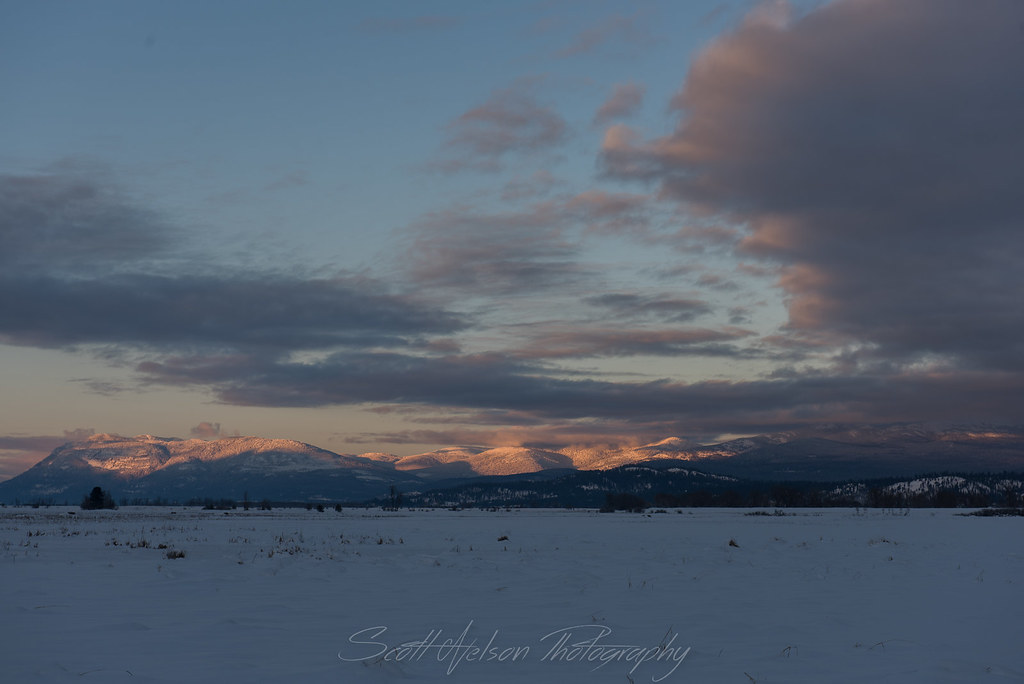
Sunset over Kootenai Valley

The headwall
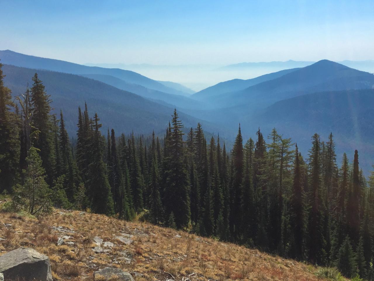
View of the eastern valley
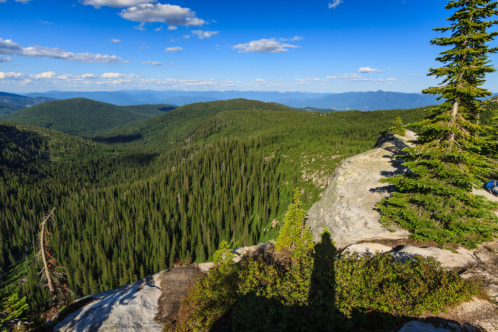
View east down Myrtle Creek from the trail to Myrtle Peak

Elephant Man Doing the Splits
Kootenai Valley sunset
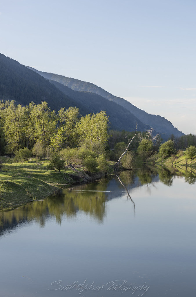
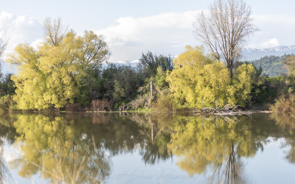
Kootenai River Cottonwood Snag Reflection Near Cascade Creek
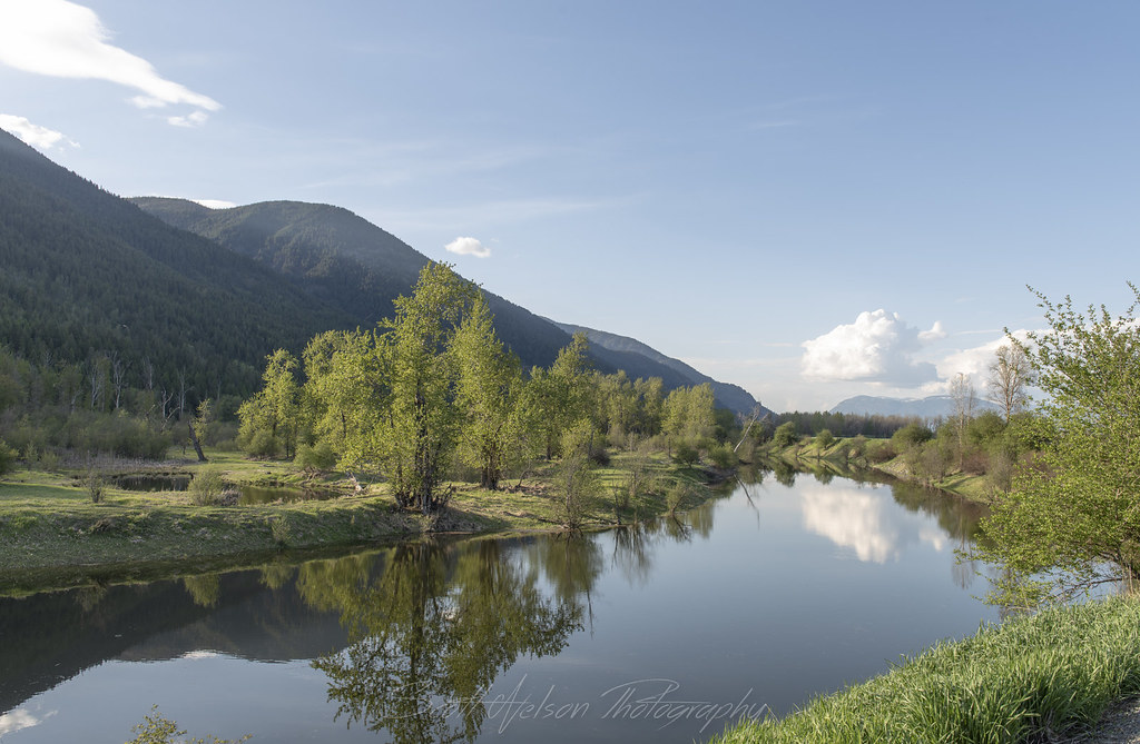
Kootenai River Reflection Near Cascade Creek

Eagle Soaring along Kootneai River
Kootenai River Reflection
Cloud Reflection
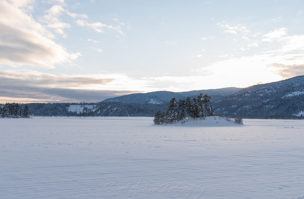
Frozen Islands
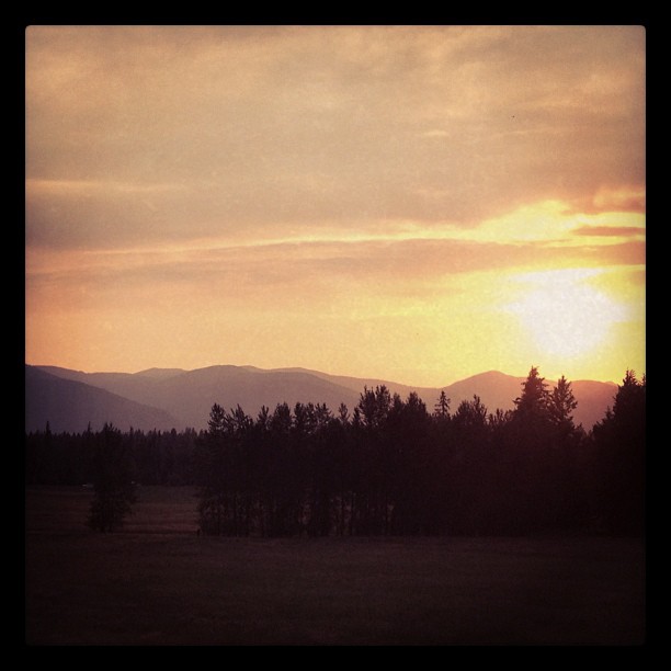
Kootenai Valley Sunsetting over Mountain
IMG_8248.jpg
IMG_8239.jpg
IMG_8230.jpg

Winking Owl In Cottonwood
IMG_8236.jpg
Golden Cottonwood
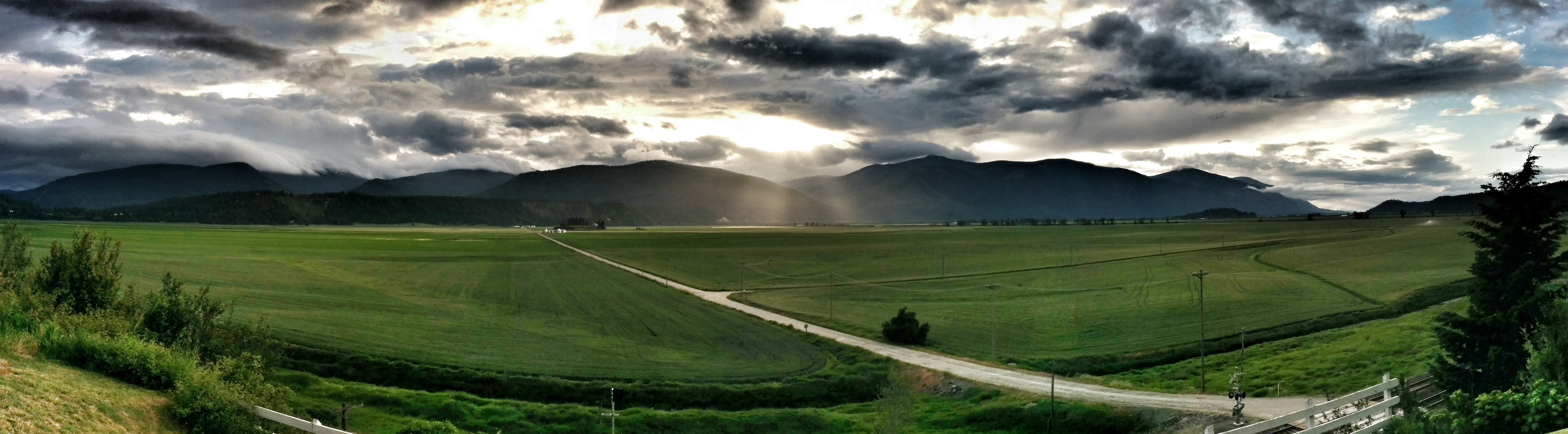
Highland Flats, irrigation dam development
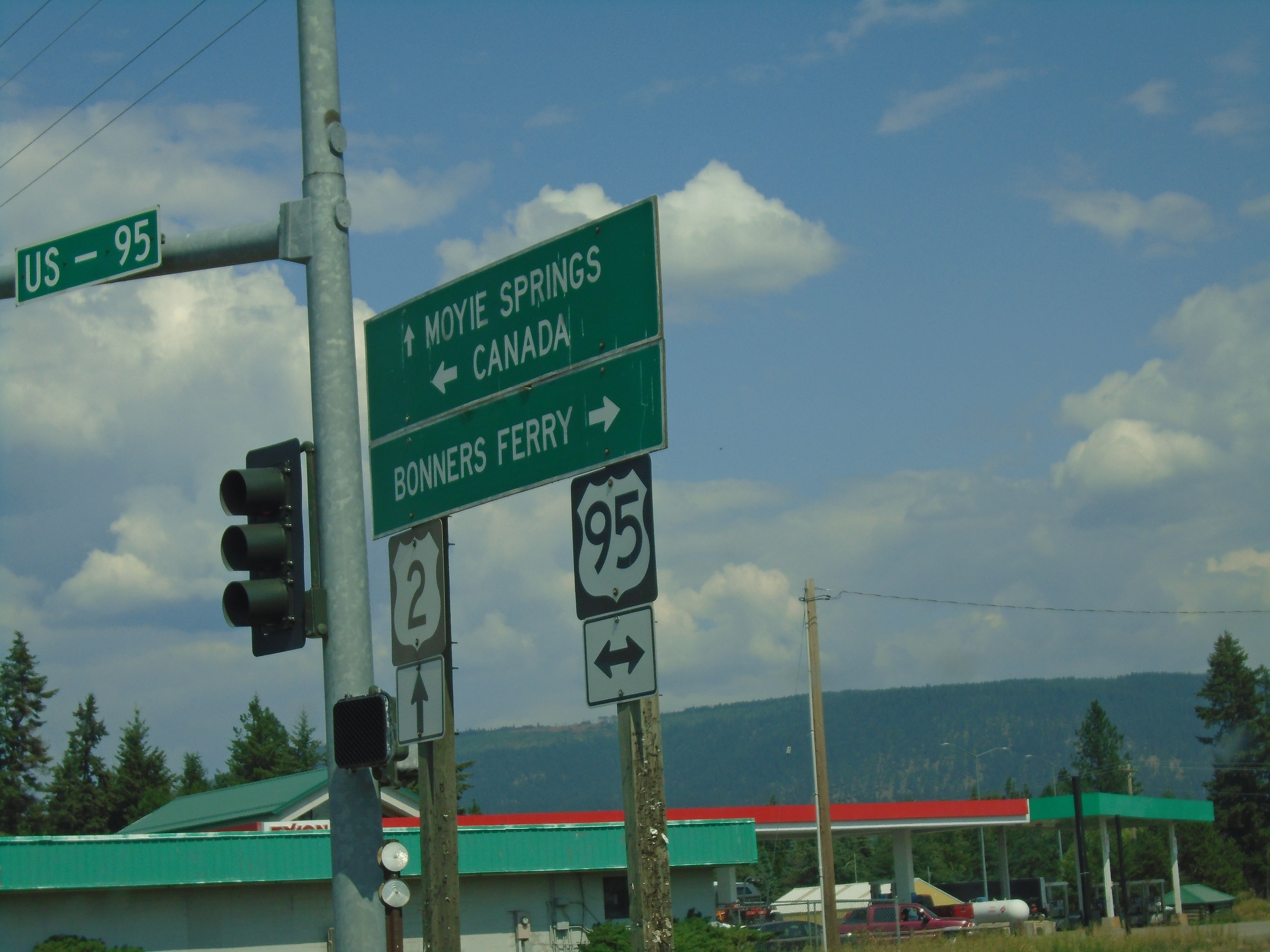
US-95 North/US-2 East at US-95/US-2 Split
Sand Hill Road East at US-2 and US-95 Junction
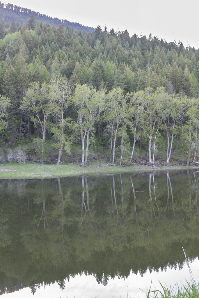
Kootenai River Cottonwood Reflection Near Cascade Creek
Myrtle Falls Trail, West Side Rd, Bonners Ferry, ID, USA Karte
Suchen Sie einen anderen Ort
Nahe Plätze
District 5 Rd, Bonners Ferry, ID, USA
Success Ln, Naples, ID, USA
Crow Street, Bonners Ferry, ID, USA
Madison St, Bonners Ferry, ID, USA
Madison Street, Madison St, Bonners Ferry, ID, USA
Bonners Ferry, ID, USA
Kootenai Street, Kootenai St, Bonners Ferry, ID, USA
Pot Hole Road, Pot Hole Rd, Idaho, USA
US-95, Bonners Ferry, ID, USA
Fawn Lane Farms, Fawn Lane, Bonners Ferry, ID, USA
Tower Rd, Naples, ID, USA
Lone Pony Ln, Bonners Ferry, ID, USA
Bane Ln, Bonners Ferry, ID, USA
Naples, ID, USA
Fall Creek Rd, Naples, ID, USA
Fall Creek Rd, Naples, ID, USA
Fall Creek Rd, Naples, ID, USA
48 Fall Creek Rd, Naples, ID, USA
Templeman Lake Rd, Bonners Ferry, ID, USA
Farnham Peak, Idaho, USA
Letzte Suche
- Groblershoop, South Africa Sonnenaufgang Sonnenuntergang Zeiten
- Petriti, Griechenland Sonnenaufgang Sonnenuntergang Zeiten
- Chesaw Rd, Oroville, WA, USA Sonnenaufgang Sonnenuntergang Zeiten
- N, Mt Pleasant, UT, USA Sonnenaufgang Sonnenuntergang Zeiten
- Kawanecho Sasamado, Shimada, Shizuoka -, Japan Sonnenaufgang Sonnenuntergang Zeiten
- 6 Rue Jules Ferry, Beausoleil, Frankreich Sonnenaufgang Sonnenuntergang Zeiten
- Otxandio, Biscay, Spain Sonnenaufgang Sonnenuntergang Zeiten
- Sattva Horizon, 4JC6+G9P, Vinayak Nagar, Kattigenahalli, Bengaluru, Karnataka, Indien Sonnenaufgang Sonnenuntergang Zeiten
- 富士山, Kitayama, Fujinomiya, Präfektur Shizuoka -, Japan Sonnenaufgang Sonnenuntergang Zeiten
- Laurel Rd, Townsend, TN, USA Sonnenaufgang Sonnenuntergang Zeiten