Mount Queen Elizabeth, Improvement District No. 9, AB T0L, Kanada Sonnenaufgang Sonnenuntergang Zeiten
Location: Kanada > Alberta > Division No. 15 > Improvement District No. 9 >
Zeitzone:
America/Edmonton
Ortszeit:
2024-05-18 03:52:56
Länge:
-115.405
Breite:
50.7133333
Sonnenaufgang Heute:
05:47:08 AM
Sonnenuntergang Heute:
09:29:04 PM
Tageslänge heute:
15h 41m 56s
Sonnenaufgang morgen:
05:45:52 AM
Sonnenuntergang Morgen:
09:30:27 PM
Tageslänge von morgen:
15h 44m 35s
Alle Termine anzeigen
| Datum | Sonnenaufgang | Sonnenuntergang | Tageslänge |
|---|---|---|---|
| 2024-01-01 | 08:43:10 AM | 04:47:45 PM | 8h 4m 35s |
| 2024-01-02 | 08:43:02 AM | 04:48:50 PM | 8h 5m 48s |
| 2024-01-03 | 08:42:50 AM | 04:49:57 PM | 8h 7m 7s |
| 2024-01-04 | 08:42:35 AM | 04:51:06 PM | 8h 8m 31s |
| 2024-01-05 | 08:42:16 AM | 04:52:18 PM | 8h 10m 2s |
| 2024-01-06 | 08:41:55 AM | 04:53:32 PM | 8h 11m 37s |
| 2024-01-07 | 08:41:30 AM | 04:54:48 PM | 8h 13m 18s |
| 2024-01-08 | 08:41:02 AM | 04:56:06 PM | 8h 15m 4s |
| 2024-01-09 | 08:40:31 AM | 04:57:26 PM | 8h 16m 55s |
| 2024-01-10 | 08:39:57 AM | 04:58:48 PM | 8h 18m 51s |
| 2024-01-11 | 08:39:20 AM | 05:00:12 PM | 8h 20m 52s |
| 2024-01-12 | 08:38:40 AM | 05:01:38 PM | 8h 22m 58s |
| 2024-01-13 | 08:37:57 AM | 05:03:06 PM | 8h 25m 9s |
| 2024-01-14 | 08:37:11 AM | 05:04:35 PM | 8h 27m 24s |
| 2024-01-15 | 08:36:22 AM | 05:06:05 PM | 8h 29m 43s |
| 2024-01-16 | 08:35:31 AM | 05:07:37 PM | 8h 32m 6s |
| 2024-01-17 | 08:34:37 AM | 05:09:11 PM | 8h 34m 34s |
| 2024-01-18 | 08:33:40 AM | 05:10:45 PM | 8h 37m 5s |
| 2024-01-19 | 08:32:40 AM | 05:12:21 PM | 8h 39m 41s |
| 2024-01-20 | 08:31:38 AM | 05:13:58 PM | 8h 42m 20s |
| 2024-01-21 | 08:30:33 AM | 05:15:36 PM | 8h 45m 3s |
| 2024-01-22 | 08:29:25 AM | 05:17:15 PM | 8h 47m 50s |
| 2024-01-23 | 08:28:15 AM | 05:18:55 PM | 8h 50m 40s |
| 2024-01-24 | 08:27:03 AM | 05:20:36 PM | 8h 53m 33s |
| 2024-01-25 | 08:25:48 AM | 05:22:18 PM | 8h 56m 30s |
| 2024-01-26 | 08:24:32 AM | 05:24:00 PM | 8h 59m 28s |
| 2024-01-27 | 08:23:12 AM | 05:25:43 PM | 9h 2m 31s |
| 2024-01-28 | 08:21:51 AM | 05:27:26 PM | 9h 5m 35s |
| 2024-01-29 | 08:20:27 AM | 05:29:10 PM | 9h 8m 43s |
| 2024-01-30 | 08:19:02 AM | 05:30:55 PM | 9h 11m 53s |
| 2024-01-31 | 08:17:34 AM | 05:32:40 PM | 9h 15m 6s |
| 2024-02-01 | 08:16:04 AM | 05:34:25 PM | 9h 18m 21s |
| 2024-02-02 | 08:14:33 AM | 05:36:11 PM | 9h 21m 38s |
| 2024-02-03 | 08:12:59 AM | 05:37:56 PM | 9h 24m 57s |
| 2024-02-04 | 08:11:24 AM | 05:39:43 PM | 9h 28m 19s |
| 2024-02-05 | 08:09:47 AM | 05:41:29 PM | 9h 31m 42s |
| 2024-02-06 | 08:08:08 AM | 05:43:15 PM | 9h 35m 7s |
| 2024-02-07 | 08:06:28 AM | 05:45:01 PM | 9h 38m 33s |
| 2024-02-08 | 08:04:45 AM | 05:46:48 PM | 9h 42m 3s |
| 2024-02-09 | 08:03:02 AM | 05:48:34 PM | 9h 45m 32s |
| 2024-02-10 | 08:01:16 AM | 05:50:21 PM | 9h 49m 5s |
| 2024-02-11 | 07:59:30 AM | 05:52:07 PM | 9h 52m 37s |
| 2024-02-12 | 07:57:42 AM | 05:53:54 PM | 9h 56m 12s |
| 2024-02-13 | 07:55:52 AM | 05:55:40 PM | 9h 59m 48s |
| 2024-02-14 | 07:54:01 AM | 05:57:26 PM | 10h 3m 25s |
| 2024-02-15 | 07:52:09 AM | 05:59:12 PM | 10h 7m 3s |
| 2024-02-16 | 07:50:15 AM | 06:00:58 PM | 10h 10m 43s |
| 2024-02-17 | 07:48:21 AM | 06:02:43 PM | 10h 14m 22s |
| 2024-02-18 | 07:46:25 AM | 06:04:29 PM | 10h 18m 4s |
| 2024-02-19 | 07:44:28 AM | 06:06:14 PM | 10h 21m 46s |
| 2024-02-20 | 07:42:30 AM | 06:07:59 PM | 10h 25m 29s |
| 2024-02-21 | 07:40:30 AM | 06:09:44 PM | 10h 29m 14s |
| 2024-02-22 | 07:38:30 AM | 06:11:28 PM | 10h 32m 58s |
| 2024-02-23 | 07:36:29 AM | 06:13:12 PM | 10h 36m 43s |
| 2024-02-24 | 07:34:27 AM | 06:14:56 PM | 10h 40m 29s |
| 2024-02-25 | 07:32:24 AM | 06:16:40 PM | 10h 44m 16s |
| 2024-02-26 | 07:30:20 AM | 06:18:23 PM | 10h 48m 3s |
| 2024-02-27 | 07:28:16 AM | 06:20:06 PM | 10h 51m 50s |
| 2024-02-28 | 07:26:11 AM | 06:21:49 PM | 10h 55m 38s |
| 2024-02-29 | 07:24:04 AM | 06:23:32 PM | 10h 59m 28s |
| 2024-03-01 | 07:21:58 AM | 06:25:14 PM | 11h 3m 16s |
| 2024-03-02 | 07:19:50 AM | 06:26:56 PM | 11h 7m 6s |
| 2024-03-03 | 07:17:42 AM | 06:28:38 PM | 11h 10m 56s |
| 2024-03-04 | 07:15:33 AM | 06:30:19 PM | 11h 14m 46s |
| 2024-03-05 | 07:13:24 AM | 06:32:01 PM | 11h 18m 37s |
| 2024-03-06 | 07:11:14 AM | 06:33:42 PM | 11h 22m 28s |
| 2024-03-07 | 07:09:04 AM | 06:35:22 PM | 11h 26m 18s |
| 2024-03-08 | 07:06:53 AM | 06:37:03 PM | 11h 30m 10s |
| 2024-03-09 | 07:04:42 AM | 06:38:43 PM | 11h 34m 1s |
| 2024-03-10 | 08:02:36 AM | 07:40:19 PM | 11h 37m 43s |
| 2024-03-11 | 08:00:24 AM | 07:41:58 PM | 11h 41m 34s |
| 2024-03-12 | 07:58:12 AM | 07:43:38 PM | 11h 45m 26s |
| 2024-03-13 | 07:55:59 AM | 07:45:17 PM | 11h 49m 18s |
| 2024-03-14 | 07:53:47 AM | 07:46:56 PM | 11h 53m 9s |
| 2024-03-15 | 07:51:34 AM | 07:48:35 PM | 11h 57m 1s |
| 2024-03-16 | 07:49:20 AM | 07:50:14 PM | 12h 0m 54s |
| 2024-03-17 | 07:47:07 AM | 07:51:52 PM | 12h 4m 45s |
| 2024-03-18 | 07:44:53 AM | 07:53:31 PM | 12h 8m 38s |
| 2024-03-19 | 07:42:40 AM | 07:55:09 PM | 12h 12m 29s |
| 2024-03-20 | 07:40:26 AM | 07:56:47 PM | 12h 16m 21s |
| 2024-03-21 | 07:38:12 AM | 07:58:25 PM | 12h 20m 13s |
| 2024-03-22 | 07:35:58 AM | 08:00:03 PM | 12h 24m 5s |
| 2024-03-23 | 07:33:44 AM | 08:01:40 PM | 12h 27m 56s |
| 2024-03-24 | 07:31:31 AM | 08:03:18 PM | 12h 31m 47s |
| 2024-03-25 | 07:29:17 AM | 08:04:55 PM | 12h 35m 38s |
| 2024-03-26 | 07:27:03 AM | 08:06:33 PM | 12h 39m 30s |
| 2024-03-27 | 07:24:50 AM | 08:08:10 PM | 12h 43m 20s |
| 2024-03-28 | 07:22:36 AM | 08:09:47 PM | 12h 47m 11s |
| 2024-03-29 | 07:20:23 AM | 08:11:25 PM | 12h 51m 2s |
| 2024-03-30 | 07:18:10 AM | 08:13:02 PM | 12h 54m 52s |
| 2024-03-31 | 07:15:58 AM | 08:14:39 PM | 12h 58m 41s |
| 2024-04-01 | 07:13:45 AM | 08:16:16 PM | 13h 2m 31s |
| 2024-04-02 | 07:11:33 AM | 08:17:53 PM | 13h 6m 20s |
| 2024-04-03 | 07:09:22 AM | 08:19:30 PM | 13h 10m 8s |
| 2024-04-04 | 07:07:10 AM | 08:21:07 PM | 13h 13m 57s |
| 2024-04-05 | 07:05:00 AM | 08:22:44 PM | 13h 17m 44s |
| 2024-04-06 | 07:02:49 AM | 08:24:21 PM | 13h 21m 32s |
| 2024-04-07 | 07:00:39 AM | 08:25:58 PM | 13h 25m 19s |
| 2024-04-08 | 06:58:30 AM | 08:27:35 PM | 13h 29m 5s |
| 2024-04-09 | 06:56:21 AM | 08:29:12 PM | 13h 32m 51s |
| 2024-04-10 | 06:54:12 AM | 08:30:49 PM | 13h 36m 37s |
| 2024-04-11 | 06:52:05 AM | 08:32:25 PM | 13h 40m 20s |
| 2024-04-12 | 06:49:58 AM | 08:34:02 PM | 13h 44m 4s |
| 2024-04-13 | 06:47:51 AM | 08:35:39 PM | 13h 47m 48s |
| 2024-04-14 | 06:45:46 AM | 08:37:16 PM | 13h 51m 30s |
| 2024-04-15 | 06:43:41 AM | 08:38:53 PM | 13h 55m 12s |
| 2024-04-16 | 06:41:37 AM | 08:40:30 PM | 13h 58m 53s |
| 2024-04-17 | 06:39:33 AM | 08:42:06 PM | 14h 2m 33s |
| 2024-04-18 | 06:37:31 AM | 08:43:43 PM | 14h 6m 12s |
| 2024-04-19 | 06:35:29 AM | 08:45:20 PM | 14h 9m 51s |
| 2024-04-20 | 06:33:29 AM | 08:46:56 PM | 14h 13m 27s |
| 2024-04-21 | 06:31:29 AM | 08:48:33 PM | 14h 17m 4s |
| 2024-04-22 | 06:29:31 AM | 08:50:09 PM | 14h 20m 38s |
| 2024-04-23 | 06:27:33 AM | 08:51:46 PM | 14h 24m 13s |
| 2024-04-24 | 06:25:37 AM | 08:53:22 PM | 14h 27m 45s |
| 2024-04-25 | 06:23:41 AM | 08:54:58 PM | 14h 31m 17s |
| 2024-04-26 | 06:21:47 AM | 08:56:34 PM | 14h 34m 47s |
| 2024-04-27 | 06:19:54 AM | 08:58:09 PM | 14h 38m 15s |
| 2024-04-28 | 06:18:03 AM | 08:59:45 PM | 14h 41m 42s |
| 2024-04-29 | 06:16:12 AM | 09:01:20 PM | 14h 45m 8s |
| 2024-04-30 | 06:14:23 AM | 09:02:55 PM | 14h 48m 32s |
| 2024-05-01 | 06:12:36 AM | 09:04:29 PM | 14h 51m 53s |
| 2024-05-02 | 06:10:50 AM | 09:06:04 PM | 14h 55m 14s |
| 2024-05-03 | 06:09:05 AM | 09:07:37 PM | 14h 58m 32s |
| 2024-05-04 | 06:07:22 AM | 09:09:11 PM | 15h 1m 49s |
| 2024-05-05 | 06:05:40 AM | 09:10:44 PM | 15h 5m 4s |
| 2024-05-06 | 06:04:00 AM | 09:12:17 PM | 15h 8m 17s |
| 2024-05-07 | 06:02:22 AM | 09:13:49 PM | 15h 11m 27s |
| 2024-05-08 | 06:00:45 AM | 09:15:20 PM | 15h 14m 35s |
| 2024-05-09 | 05:59:10 AM | 09:16:51 PM | 15h 17m 41s |
| 2024-05-10 | 05:57:37 AM | 09:18:21 PM | 15h 20m 44s |
| 2024-05-11 | 05:56:06 AM | 09:19:51 PM | 15h 23m 45s |
| 2024-05-12 | 05:54:37 AM | 09:21:19 PM | 15h 26m 42s |
| 2024-05-13 | 05:53:09 AM | 09:22:47 PM | 15h 29m 38s |
| 2024-05-14 | 05:51:44 AM | 09:24:14 PM | 15h 32m 30s |
| 2024-05-15 | 05:50:21 AM | 09:25:40 PM | 15h 35m 19s |
| 2024-05-16 | 05:48:59 AM | 09:27:06 PM | 15h 38m 7s |
| 2024-05-17 | 05:47:40 AM | 09:28:30 PM | 15h 40m 50s |
| 2024-05-18 | 05:46:23 AM | 09:29:53 PM | 15h 43m 30s |
| 2024-05-19 | 05:45:09 AM | 09:31:15 PM | 15h 46m 6s |
| 2024-05-20 | 05:43:56 AM | 09:32:35 PM | 15h 48m 39s |
| 2024-05-21 | 05:42:46 AM | 09:33:55 PM | 15h 51m 9s |
| 2024-05-22 | 05:41:38 AM | 09:35:13 PM | 15h 53m 35s |
| 2024-05-23 | 05:40:33 AM | 09:36:30 PM | 15h 55m 57s |
| 2024-05-24 | 05:39:30 AM | 09:37:45 PM | 15h 58m 15s |
| 2024-05-25 | 05:38:30 AM | 09:38:58 PM | 16h 0m 28s |
| 2024-05-26 | 05:37:32 AM | 09:40:11 PM | 16h 2m 39s |
| 2024-05-27 | 05:36:37 AM | 09:41:21 PM | 16h 4m 44s |
| 2024-05-28 | 05:35:44 AM | 09:42:30 PM | 16h 6m 46s |
| 2024-05-29 | 05:34:54 AM | 09:43:37 PM | 16h 8m 43s |
| 2024-05-30 | 05:34:07 AM | 09:44:42 PM | 16h 10m 35s |
| 2024-05-31 | 05:33:23 AM | 09:45:45 PM | 16h 12m 22s |
| 2024-06-01 | 05:32:41 AM | 09:46:46 PM | 16h 14m 5s |
| 2024-06-02 | 05:32:02 AM | 09:47:45 PM | 16h 15m 43s |
| 2024-06-03 | 05:31:26 AM | 09:48:42 PM | 16h 17m 16s |
| 2024-06-04 | 05:30:53 AM | 09:49:36 PM | 16h 18m 43s |
| 2024-06-05 | 05:30:22 AM | 09:50:29 PM | 16h 20m 7s |
| 2024-06-06 | 05:29:55 AM | 09:51:19 PM | 16h 21m 24s |
| 2024-06-07 | 05:29:30 AM | 09:52:07 PM | 16h 22m 37s |
| 2024-06-08 | 05:29:08 AM | 09:52:52 PM | 16h 23m 44s |
| 2024-06-09 | 05:28:50 AM | 09:53:35 PM | 16h 24m 45s |
| 2024-06-10 | 05:28:34 AM | 09:54:15 PM | 16h 25m 41s |
| 2024-06-11 | 05:28:21 AM | 09:54:53 PM | 16h 26m 32s |
| 2024-06-12 | 05:28:11 AM | 09:55:28 PM | 16h 27m 17s |
| 2024-06-13 | 05:28:04 AM | 09:56:00 PM | 16h 27m 56s |
| 2024-06-14 | 05:28:01 AM | 09:56:30 PM | 16h 28m 29s |
| 2024-06-15 | 05:28:00 AM | 09:56:56 PM | 16h 28m 56s |
| 2024-06-16 | 05:28:02 AM | 09:57:20 PM | 16h 29m 18s |
| 2024-06-17 | 05:28:07 AM | 09:57:42 PM | 16h 29m 35s |
| 2024-06-18 | 05:28:15 AM | 09:58:00 PM | 16h 29m 45s |
| 2024-06-19 | 05:28:25 AM | 09:58:15 PM | 16h 29m 50s |
| 2024-06-20 | 05:28:39 AM | 09:58:28 PM | 16h 29m 49s |
| 2024-06-21 | 05:28:56 AM | 09:58:37 PM | 16h 29m 41s |
| 2024-06-22 | 05:29:15 AM | 09:58:44 PM | 16h 29m 29s |
| 2024-06-23 | 05:29:37 AM | 09:58:47 PM | 16h 29m 10s |
| 2024-06-24 | 05:30:02 AM | 09:58:48 PM | 16h 28m 46s |
| 2024-06-25 | 05:30:30 AM | 09:58:45 PM | 16h 28m 15s |
| 2024-06-26 | 05:31:00 AM | 09:58:40 PM | 16h 27m 40s |
| 2024-06-27 | 05:31:33 AM | 09:58:31 PM | 16h 26m 58s |
| 2024-06-28 | 05:32:08 AM | 09:58:20 PM | 16h 26m 12s |
| 2024-06-29 | 05:32:47 AM | 09:58:05 PM | 16h 25m 18s |
| 2024-06-30 | 05:33:27 AM | 09:57:48 PM | 16h 24m 21s |
| 2024-07-01 | 05:34:10 AM | 09:57:27 PM | 16h 23m 17s |
| 2024-07-02 | 05:34:56 AM | 09:57:04 PM | 16h 22m 8s |
| 2024-07-03 | 05:35:43 AM | 09:56:37 PM | 16h 20m 54s |
| 2024-07-04 | 05:36:33 AM | 09:56:08 PM | 16h 19m 35s |
| 2024-07-05 | 05:37:25 AM | 09:55:35 PM | 16h 18m 10s |
| 2024-07-06 | 05:38:20 AM | 09:55:00 PM | 16h 16m 40s |
| 2024-07-07 | 05:39:16 AM | 09:54:22 PM | 16h 15m 6s |
| 2024-07-08 | 05:40:15 AM | 09:53:41 PM | 16h 13m 26s |
| 2024-07-09 | 05:41:15 AM | 09:52:57 PM | 16h 11m 42s |
| 2024-07-10 | 05:42:17 AM | 09:52:11 PM | 16h 9m 54s |
| 2024-07-11 | 05:43:21 AM | 09:51:22 PM | 16h 8m 1s |
| 2024-07-12 | 05:44:27 AM | 09:50:30 PM | 16h 6m 3s |
| 2024-07-13 | 05:45:35 AM | 09:49:35 PM | 16h 4m 0s |
| 2024-07-14 | 05:46:44 AM | 09:48:38 PM | 16h 1m 54s |
| 2024-07-15 | 05:47:55 AM | 09:47:38 PM | 15h 59m 43s |
| 2024-07-16 | 05:49:07 AM | 09:46:36 PM | 15h 57m 29s |
| 2024-07-17 | 05:50:20 AM | 09:45:31 PM | 15h 55m 11s |
| 2024-07-18 | 05:51:35 AM | 09:44:24 PM | 15h 52m 49s |
| 2024-07-19 | 05:52:51 AM | 09:43:14 PM | 15h 50m 23s |
| 2024-07-20 | 05:54:09 AM | 09:42:02 PM | 15h 47m 53s |
| 2024-07-21 | 05:55:28 AM | 09:40:47 PM | 15h 45m 19s |
| 2024-07-22 | 05:56:47 AM | 09:39:31 PM | 15h 42m 44s |
| 2024-07-23 | 05:58:08 AM | 09:38:12 PM | 15h 40m 4s |
| 2024-07-24 | 05:59:30 AM | 09:36:51 PM | 15h 37m 21s |
| 2024-07-25 | 06:00:52 AM | 09:35:28 PM | 15h 34m 36s |
| 2024-07-26 | 06:02:16 AM | 09:34:03 PM | 15h 31m 47s |
| 2024-07-27 | 06:03:40 AM | 09:32:35 PM | 15h 28m 55s |
| 2024-07-28 | 06:05:05 AM | 09:31:06 PM | 15h 26m 1s |
| 2024-07-29 | 06:06:31 AM | 09:29:35 PM | 15h 23m 4s |
| 2024-07-30 | 06:07:58 AM | 09:28:02 PM | 15h 20m 4s |
| 2024-07-31 | 06:09:25 AM | 09:26:27 PM | 15h 17m 2s |
| 2024-08-01 | 06:10:53 AM | 09:24:50 PM | 15h 13m 57s |
| 2024-08-02 | 06:12:21 AM | 09:23:12 PM | 15h 10m 51s |
| 2024-08-03 | 06:13:50 AM | 09:21:32 PM | 15h 7m 42s |
| 2024-08-04 | 06:15:19 AM | 09:19:50 PM | 15h 4m 31s |
| 2024-08-05 | 06:16:48 AM | 09:18:07 PM | 15h 1m 19s |
| 2024-08-06 | 06:18:18 AM | 09:16:22 PM | 14h 58m 4s |
| 2024-08-07 | 06:19:48 AM | 09:14:36 PM | 14h 54m 48s |
| 2024-08-08 | 06:21:19 AM | 09:12:48 PM | 14h 51m 29s |
| 2024-08-09 | 06:22:50 AM | 09:10:59 PM | 14h 48m 9s |
| 2024-08-10 | 06:24:21 AM | 09:09:08 PM | 14h 44m 47s |
| 2024-08-11 | 06:25:52 AM | 09:07:16 PM | 14h 41m 24s |
| 2024-08-12 | 06:27:24 AM | 09:05:23 PM | 14h 37m 59s |
| 2024-08-13 | 06:28:55 AM | 09:03:28 PM | 14h 34m 33s |
| 2024-08-14 | 06:30:27 AM | 09:01:33 PM | 14h 31m 6s |
| 2024-08-15 | 06:31:59 AM | 08:59:36 PM | 14h 27m 37s |
| 2024-08-16 | 06:33:31 AM | 08:57:38 PM | 14h 24m 7s |
| 2024-08-17 | 06:35:03 AM | 08:55:39 PM | 14h 20m 36s |
| 2024-08-18 | 06:36:35 AM | 08:53:39 PM | 14h 17m 4s |
| 2024-08-19 | 06:38:07 AM | 08:51:37 PM | 14h 13m 30s |
| 2024-08-20 | 06:39:39 AM | 08:49:35 PM | 14h 9m 56s |
| 2024-08-21 | 06:41:12 AM | 08:47:32 PM | 14h 6m 20s |
| 2024-08-22 | 06:42:44 AM | 08:45:28 PM | 14h 2m 44s |
| 2024-08-23 | 06:44:16 AM | 08:43:24 PM | 13h 59m 8s |
| 2024-08-24 | 06:45:48 AM | 08:41:18 PM | 13h 55m 30s |
| 2024-08-25 | 06:47:20 AM | 08:39:12 PM | 13h 51m 52s |
| 2024-08-26 | 06:48:53 AM | 08:37:05 PM | 13h 48m 12s |
| 2024-08-27 | 06:50:25 AM | 08:34:57 PM | 13h 44m 32s |
| 2024-08-28 | 06:51:57 AM | 08:32:48 PM | 13h 40m 51s |
| 2024-08-29 | 06:53:29 AM | 08:30:39 PM | 13h 37m 10s |
| 2024-08-30 | 06:55:01 AM | 08:28:29 PM | 13h 33m 28s |
| 2024-08-31 | 06:56:34 AM | 08:26:19 PM | 13h 29m 45s |
| 2024-09-01 | 06:58:06 AM | 08:24:08 PM | 13h 26m 2s |
| 2024-09-02 | 06:59:38 AM | 08:21:57 PM | 13h 22m 19s |
| 2024-09-03 | 07:01:10 AM | 08:19:45 PM | 13h 18m 35s |
| 2024-09-04 | 07:02:42 AM | 08:17:32 PM | 13h 14m 50s |
| 2024-09-05 | 07:04:14 AM | 08:15:20 PM | 13h 11m 6s |
| 2024-09-06 | 07:05:46 AM | 08:13:06 PM | 13h 7m 20s |
| 2024-09-07 | 07:07:18 AM | 08:10:53 PM | 13h 3m 35s |
| 2024-09-08 | 07:08:50 AM | 08:08:39 PM | 12h 59m 49s |
| 2024-09-09 | 07:10:22 AM | 08:06:25 PM | 12h 56m 3s |
| 2024-09-10 | 07:11:54 AM | 08:04:11 PM | 12h 52m 17s |
| 2024-09-11 | 07:13:26 AM | 08:01:56 PM | 12h 48m 30s |
| 2024-09-12 | 07:14:58 AM | 07:59:41 PM | 12h 44m 43s |
| 2024-09-13 | 07:16:31 AM | 07:57:26 PM | 12h 40m 55s |
| 2024-09-14 | 07:18:03 AM | 07:55:11 PM | 12h 37m 8s |
| 2024-09-15 | 07:19:35 AM | 07:52:56 PM | 12h 33m 21s |
| 2024-09-16 | 07:21:08 AM | 07:50:40 PM | 12h 29m 32s |
| 2024-09-17 | 07:22:40 AM | 07:48:25 PM | 12h 25m 45s |
| 2024-09-18 | 07:24:13 AM | 07:46:10 PM | 12h 21m 57s |
| 2024-09-19 | 07:25:46 AM | 07:43:54 PM | 12h 18m 8s |
| 2024-09-20 | 07:27:18 AM | 07:41:39 PM | 12h 14m 21s |
| 2024-09-21 | 07:28:51 AM | 07:39:24 PM | 12h 10m 33s |
| 2024-09-22 | 07:30:25 AM | 07:37:08 PM | 12h 6m 43s |
| 2024-09-23 | 07:31:58 AM | 07:34:53 PM | 12h 2m 55s |
| 2024-09-24 | 07:33:31 AM | 07:32:38 PM | 11h 59m 7s |
| 2024-09-25 | 07:35:05 AM | 07:30:24 PM | 11h 55m 19s |
| 2024-09-26 | 07:36:39 AM | 07:28:09 PM | 11h 51m 30s |
| 2024-09-27 | 07:38:13 AM | 07:25:55 PM | 11h 47m 42s |
| 2024-09-28 | 07:39:47 AM | 07:23:41 PM | 11h 43m 54s |
| 2024-09-29 | 07:41:22 AM | 07:21:27 PM | 11h 40m 5s |
| 2024-09-30 | 07:42:56 AM | 07:19:14 PM | 11h 36m 18s |
| 2024-10-01 | 07:44:31 AM | 07:17:01 PM | 11h 32m 30s |
| 2024-10-02 | 07:46:07 AM | 07:14:48 PM | 11h 28m 41s |
| 2024-10-03 | 07:47:42 AM | 07:12:36 PM | 11h 24m 54s |
| 2024-10-04 | 07:49:18 AM | 07:10:24 PM | 11h 21m 6s |
| 2024-10-05 | 07:50:54 AM | 07:08:13 PM | 11h 17m 19s |
| 2024-10-06 | 07:52:30 AM | 07:06:02 PM | 11h 13m 32s |
| 2024-10-07 | 07:54:07 AM | 07:03:52 PM | 11h 9m 45s |
| 2024-10-08 | 07:55:44 AM | 07:01:43 PM | 11h 5m 59s |
| 2024-10-09 | 07:57:21 AM | 06:59:34 PM | 11h 2m 13s |
| 2024-10-10 | 07:58:58 AM | 06:57:26 PM | 10h 58m 28s |
| 2024-10-11 | 08:00:36 AM | 06:55:18 PM | 10h 54m 42s |
| 2024-10-12 | 08:02:14 AM | 06:53:11 PM | 10h 50m 57s |
| 2024-10-13 | 08:03:52 AM | 06:51:05 PM | 10h 47m 13s |
| 2024-10-14 | 08:05:31 AM | 06:49:00 PM | 10h 43m 29s |
| 2024-10-15 | 08:07:10 AM | 06:46:56 PM | 10h 39m 46s |
| 2024-10-16 | 08:08:49 AM | 06:44:52 PM | 10h 36m 3s |
| 2024-10-17 | 08:10:29 AM | 06:42:50 PM | 10h 32m 21s |
| 2024-10-18 | 08:12:09 AM | 06:40:48 PM | 10h 28m 39s |
| 2024-10-19 | 08:13:49 AM | 06:38:48 PM | 10h 24m 59s |
| 2024-10-20 | 08:15:29 AM | 06:36:48 PM | 10h 21m 19s |
| 2024-10-21 | 08:17:10 AM | 06:34:50 PM | 10h 17m 40s |
| 2024-10-22 | 08:18:51 AM | 06:32:52 PM | 10h 14m 1s |
| 2024-10-23 | 08:20:32 AM | 06:30:56 PM | 10h 10m 24s |
| 2024-10-24 | 08:22:13 AM | 06:29:01 PM | 10h 6m 48s |
| 2024-10-25 | 08:23:55 AM | 06:27:08 PM | 10h 3m 13s |
| 2024-10-26 | 08:25:37 AM | 06:25:15 PM | 9h 59m 38s |
| 2024-10-27 | 08:27:19 AM | 06:23:24 PM | 9h 56m 5s |
| 2024-10-28 | 08:29:01 AM | 06:21:34 PM | 9h 52m 33s |
| 2024-10-29 | 08:30:43 AM | 06:19:46 PM | 9h 49m 3s |
| 2024-10-30 | 08:32:25 AM | 06:17:59 PM | 9h 45m 34s |
| 2024-10-31 | 08:34:08 AM | 06:16:14 PM | 9h 42m 6s |
| 2024-11-01 | 08:35:50 AM | 06:14:30 PM | 9h 38m 40s |
| 2024-11-02 | 08:37:33 AM | 06:12:48 PM | 9h 35m 15s |
| 2024-11-03 | 07:39:20 AM | 05:11:03 PM | 9h 31m 43s |
| 2024-11-04 | 07:41:02 AM | 05:09:25 PM | 9h 28m 23s |
| 2024-11-05 | 07:42:44 AM | 05:07:48 PM | 9h 25m 4s |
| 2024-11-06 | 07:44:26 AM | 05:06:13 PM | 9h 21m 47s |
| 2024-11-07 | 07:46:08 AM | 05:04:39 PM | 9h 18m 31s |
| 2024-11-08 | 07:47:50 AM | 05:03:08 PM | 9h 15m 18s |
| 2024-11-09 | 07:49:32 AM | 05:01:39 PM | 9h 12m 7s |
| 2024-11-10 | 07:51:13 AM | 05:00:12 PM | 9h 8m 59s |
| 2024-11-11 | 07:52:53 AM | 04:58:46 PM | 9h 5m 53s |
| 2024-11-12 | 07:54:34 AM | 04:57:23 PM | 9h 2m 49s |
| 2024-11-13 | 07:56:14 AM | 04:56:02 PM | 8h 59m 48s |
| 2024-11-14 | 07:57:53 AM | 04:54:44 PM | 8h 56m 51s |
| 2024-11-15 | 07:59:32 AM | 04:53:27 PM | 8h 53m 55s |
| 2024-11-16 | 08:01:10 AM | 04:52:13 PM | 8h 51m 3s |
| 2024-11-17 | 08:02:47 AM | 04:51:02 PM | 8h 48m 15s |
| 2024-11-18 | 08:04:23 AM | 04:49:53 PM | 8h 45m 30s |
| 2024-11-19 | 08:05:59 AM | 04:48:46 PM | 8h 42m 47s |
| 2024-11-20 | 08:07:33 AM | 04:47:42 PM | 8h 40m 9s |
| 2024-11-21 | 08:09:07 AM | 04:46:40 PM | 8h 37m 33s |
| 2024-11-22 | 08:10:39 AM | 04:45:41 PM | 8h 35m 2s |
| 2024-11-23 | 08:12:11 AM | 04:44:45 PM | 8h 32m 34s |
| 2024-11-24 | 08:13:41 AM | 04:43:52 PM | 8h 30m 11s |
| 2024-11-25 | 08:15:10 AM | 04:43:02 PM | 8h 27m 52s |
| 2024-11-26 | 08:16:37 AM | 04:42:14 PM | 8h 25m 37s |
| 2024-11-27 | 08:18:03 AM | 04:41:29 PM | 8h 23m 26s |
| 2024-11-28 | 08:19:27 AM | 04:40:47 PM | 8h 21m 20s |
| 2024-11-29 | 08:20:50 AM | 04:40:08 PM | 8h 19m 18s |
| 2024-11-30 | 08:22:10 AM | 04:39:33 PM | 8h 17m 23s |
| 2024-12-01 | 08:23:30 AM | 04:39:00 PM | 8h 15m 30s |
| 2024-12-02 | 08:24:47 AM | 04:38:30 PM | 8h 13m 43s |
| 2024-12-03 | 08:26:02 AM | 04:38:04 PM | 8h 12m 2s |
| 2024-12-04 | 08:27:15 AM | 04:37:41 PM | 8h 10m 26s |
| 2024-12-05 | 08:28:26 AM | 04:37:20 PM | 8h 8m 54s |
| 2024-12-06 | 08:29:35 AM | 04:37:04 PM | 8h 7m 29s |
| 2024-12-07 | 08:30:41 AM | 04:36:50 PM | 8h 6m 9s |
| 2024-12-08 | 08:31:45 AM | 04:36:40 PM | 8h 4m 55s |
| 2024-12-09 | 08:32:47 AM | 04:36:32 PM | 8h 3m 45s |
| 2024-12-10 | 08:33:46 AM | 04:36:29 PM | 8h 2m 43s |
| 2024-12-11 | 08:34:43 AM | 04:36:28 PM | 8h 1m 45s |
| 2024-12-12 | 08:35:37 AM | 04:36:31 PM | 8h 0m 54s |
| 2024-12-13 | 08:36:28 AM | 04:36:37 PM | 8h 0m 9s |
| 2024-12-14 | 08:37:16 AM | 04:36:47 PM | 7h 59m 31s |
| 2024-12-15 | 08:38:02 AM | 04:36:59 PM | 7h 58m 57s |
| 2024-12-16 | 08:38:45 AM | 04:37:15 PM | 7h 58m 30s |
| 2024-12-17 | 08:39:24 AM | 04:37:35 PM | 7h 58m 11s |
| 2024-12-18 | 08:40:01 AM | 04:37:57 PM | 7h 57m 56s |
| 2024-12-19 | 08:40:35 AM | 04:38:23 PM | 7h 57m 48s |
| 2024-12-20 | 08:41:05 AM | 04:38:52 PM | 7h 57m 47s |
| 2024-12-21 | 08:41:33 AM | 04:39:24 PM | 7h 57m 51s |
| 2024-12-22 | 08:41:57 AM | 04:39:59 PM | 7h 58m 2s |
| 2024-12-23 | 08:42:19 AM | 04:40:38 PM | 7h 58m 19s |
| 2024-12-24 | 08:42:37 AM | 04:41:19 PM | 7h 58m 42s |
| 2024-12-25 | 08:42:51 AM | 04:42:04 PM | 7h 59m 13s |
| 2024-12-26 | 08:43:03 AM | 04:42:51 PM | 7h 59m 48s |
| 2024-12-27 | 08:43:11 AM | 04:43:41 PM | 8h 0m 30s |
| 2024-12-28 | 08:43:16 AM | 04:44:34 PM | 8h 1m 18s |
| 2024-12-29 | 08:43:18 AM | 04:45:30 PM | 8h 2m 12s |
| 2024-12-30 | 08:43:17 AM | 04:46:29 PM | 8h 3m 12s |
Fotos
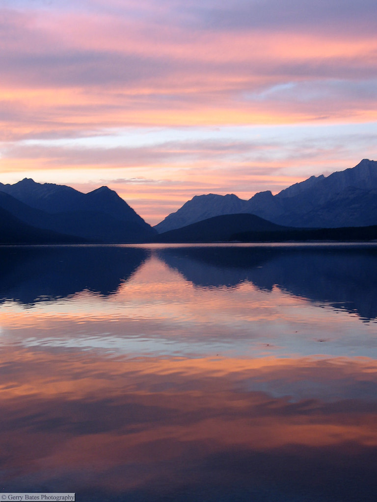
Lower Kananaskis Lake sunset
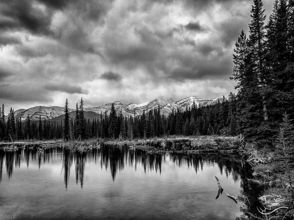
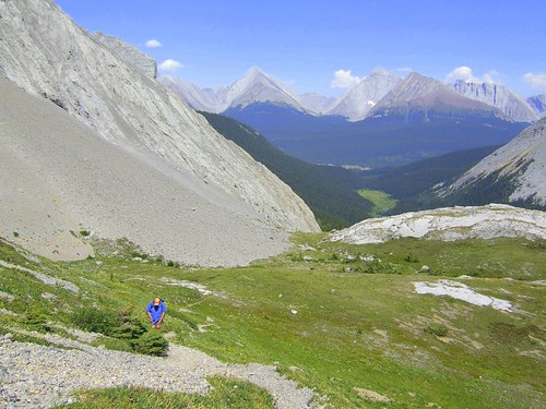
Spending some time in Kananaskis

Chester Lake Fall Colors
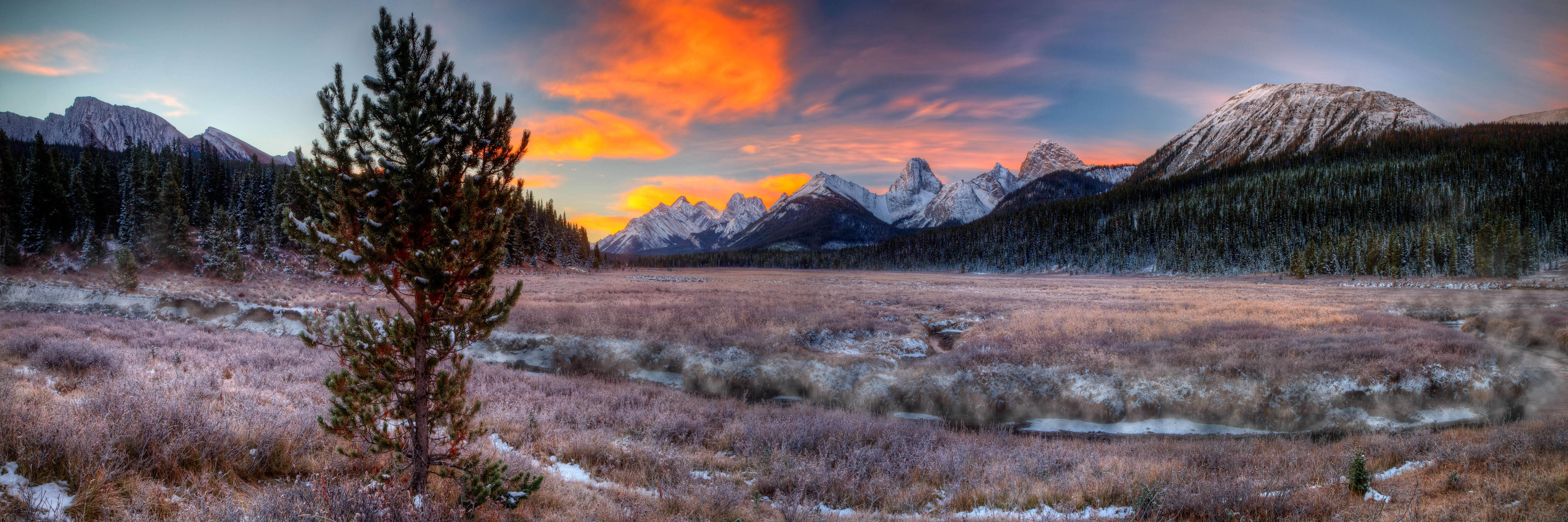
Fire in the Sky!

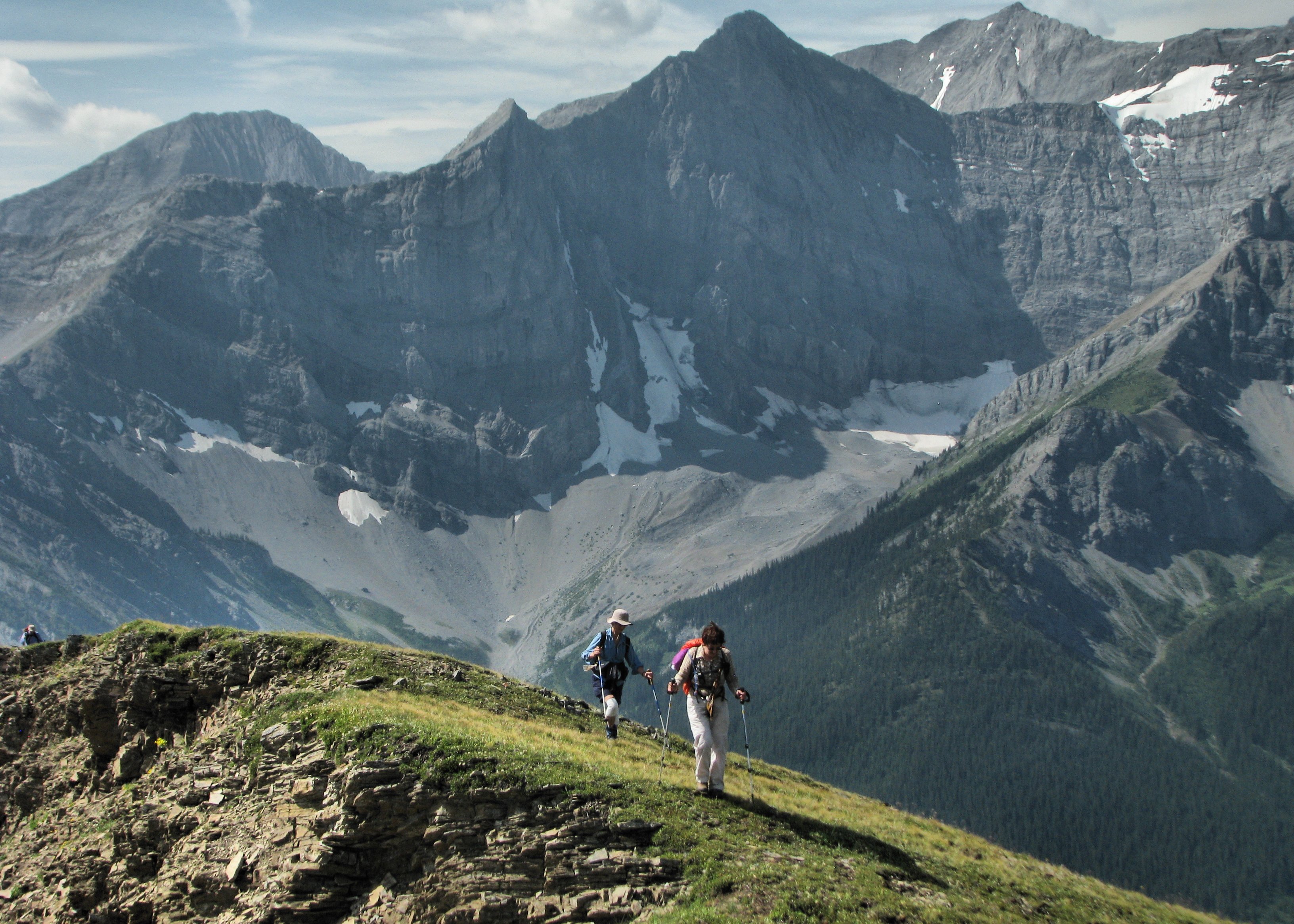
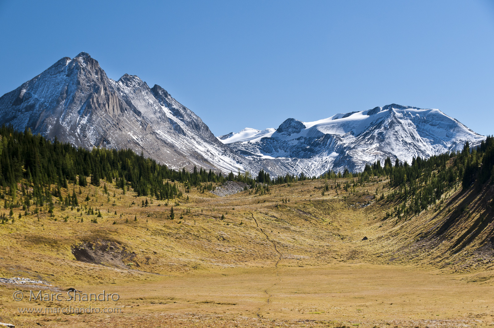
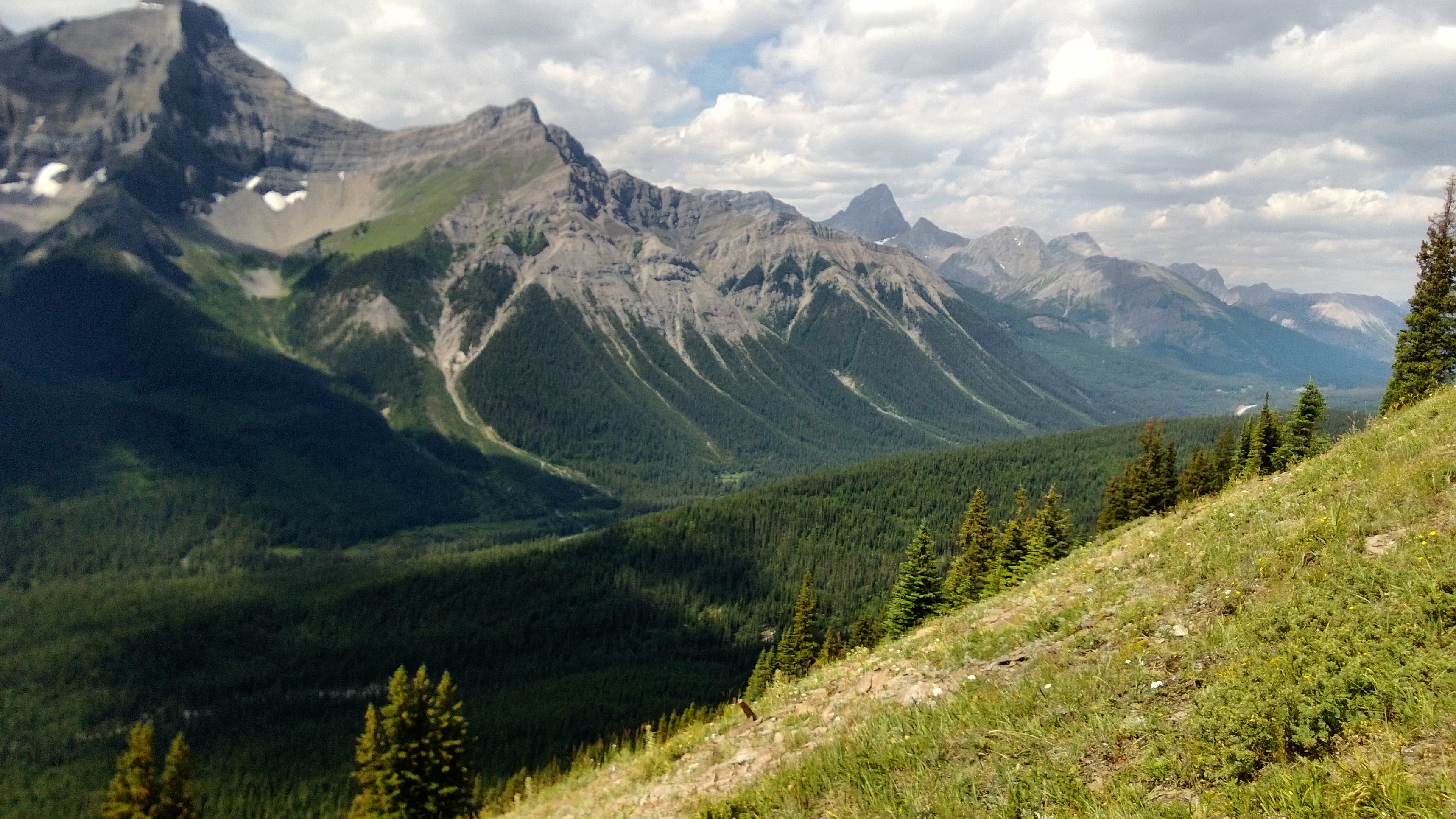
View From North Kananaskis Pass - Canadian Rockies

View from Mount Smuts
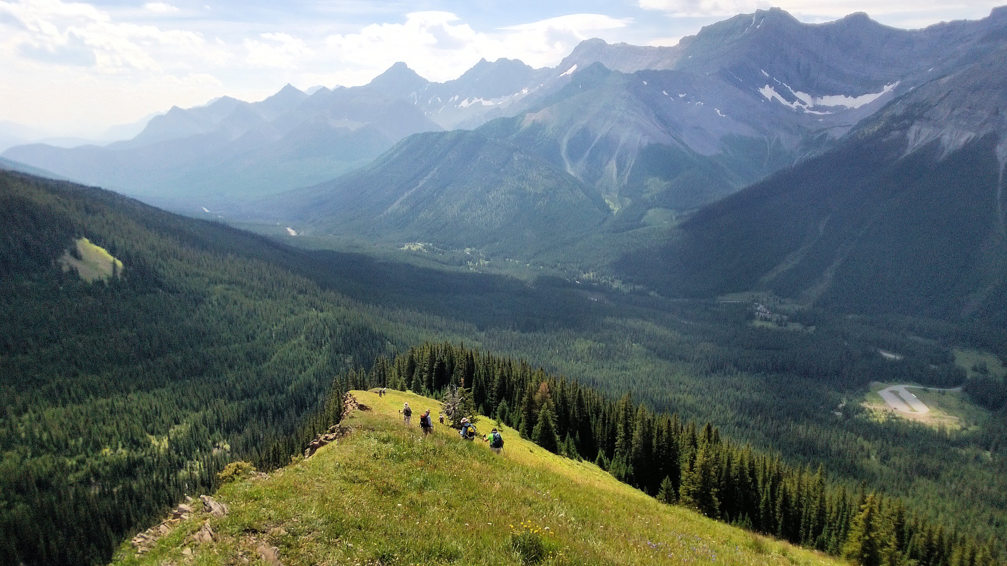
On the Outlier
View From Smut's Pass
South Kananaskis Pass
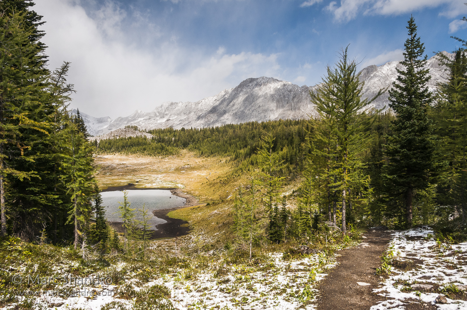
Putnik Pond - Kananaskis Alberta - Canadian Rockies
Spray Valley South

20090314-185910.jpg

20090314-201456.jpg

20090314-183926.jpg

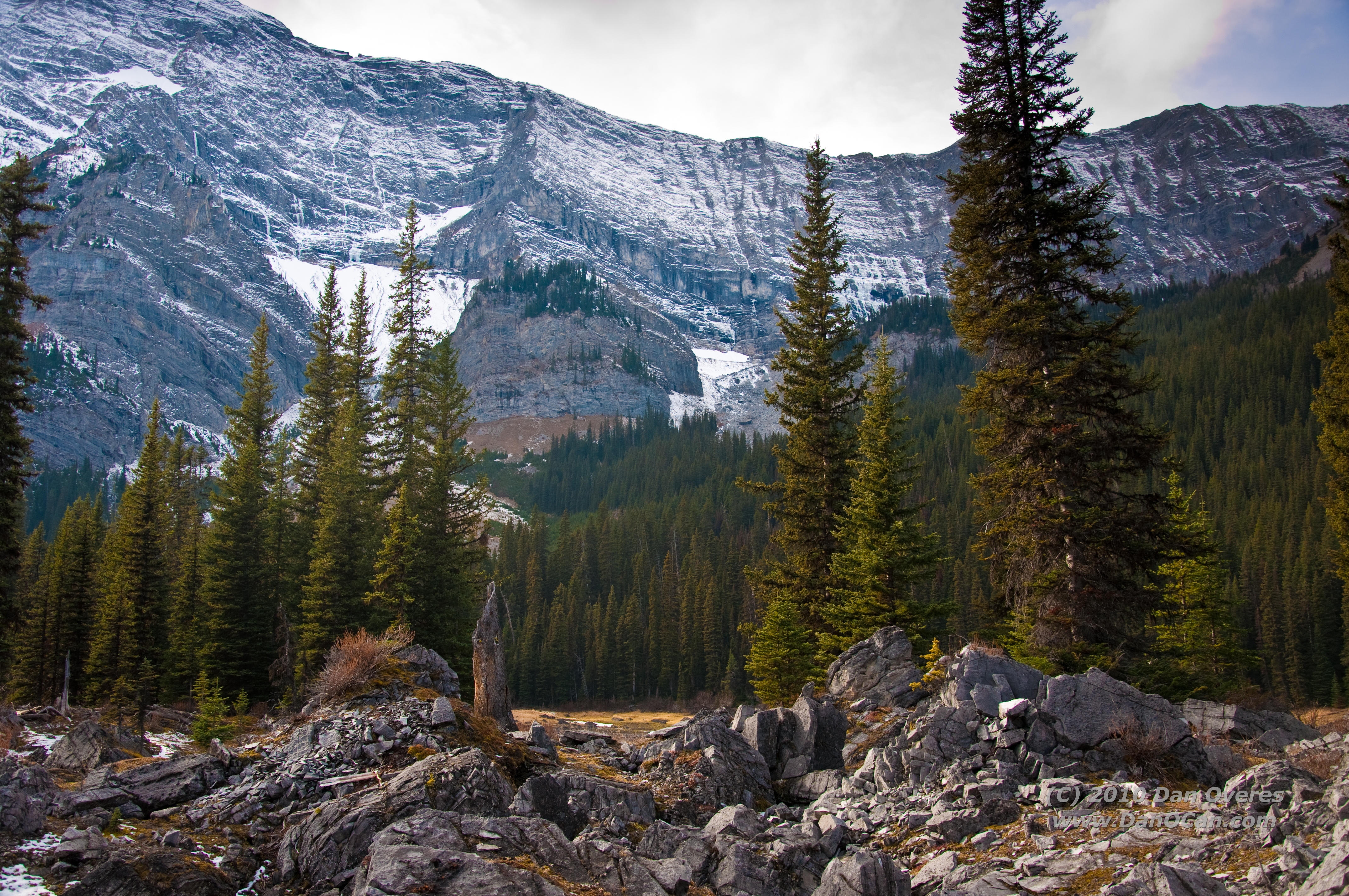
Mount James Walker

20090314-185923.jpg
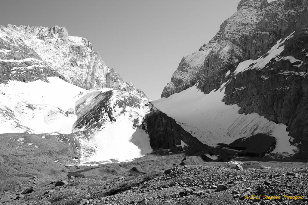
French Glacier in B/W

20090314-185949.jpg

20090314-184003.jpg
Spray Valley North

20090314-185945.jpg
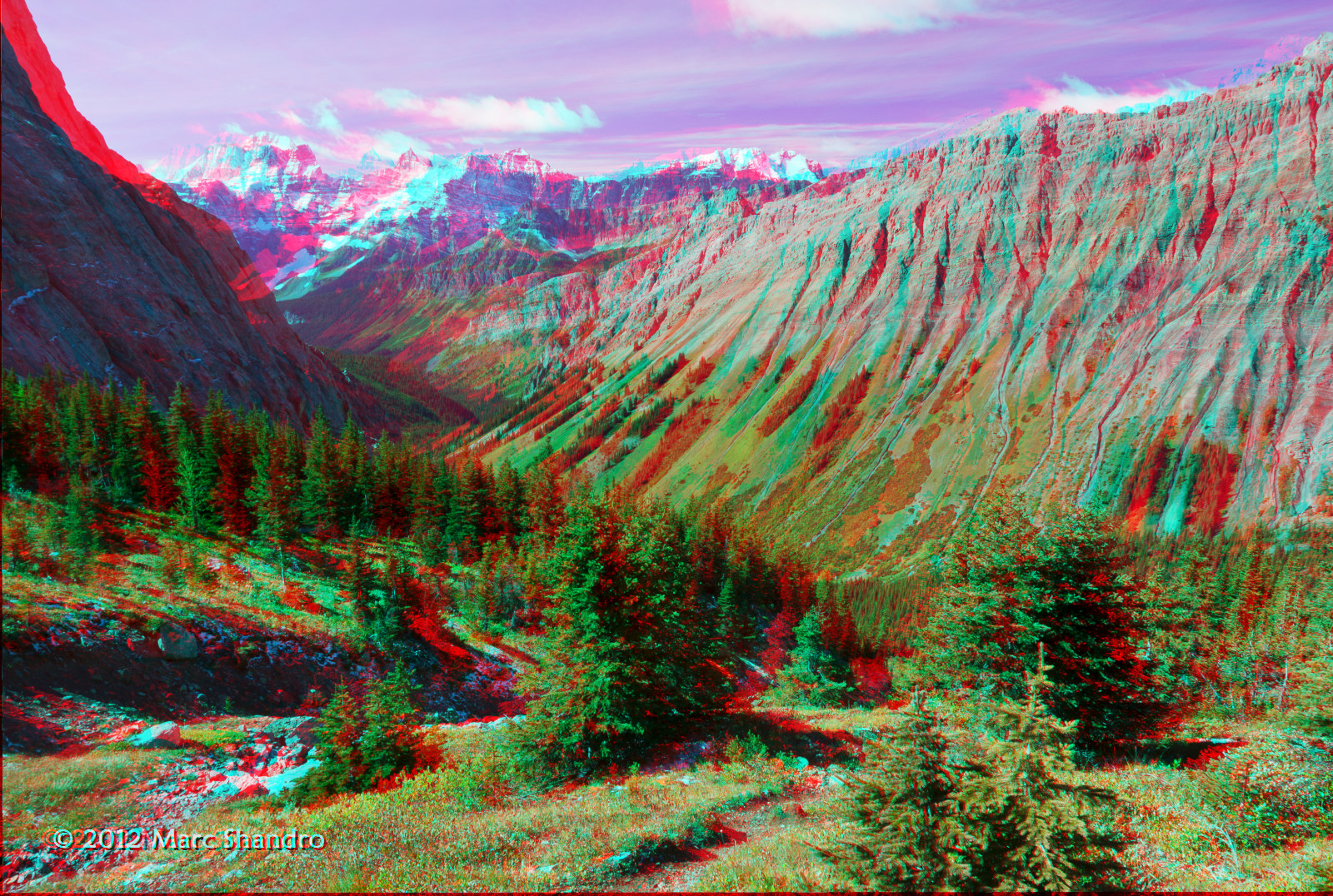
View From North Kananaskis Pass - Canadian Rockies - 3D
Western View

20090314-185918.jpg
Putnik Pond - Kananaskis Alberta - Canadian Rockies - 3D
Mount Queen Elizabeth, Improvement District No. 9, AB T0L, Kanada Karte
Suchen Sie einen anderen Ort
Nahe Plätze
Mount King Albert, East Kootenay F, BC V0B, Kanada
Mount Back, East Kootenay F, BC V0B, Kanada
Tipperary Peak, East Kootenay F, BC V0B, Kanada
Sir Douglas W2, Improvement District No. 9, AB T0L, Kanada
Mount Cradock, East Kootenay F, BC V0B, Kanada
Lockwood Peak, East Kootenay F, BC V0B, Kanada
Mount Leval, Improvement District No. 9, AB T0L, Kanada
Snow Peak, Improvement District No. 9, AB T0L, Kanada
Whistling Rock Peak, Improvement District No. 9, AB T0L, Kanada
Mount Sir Douglas, Improvement District No. 9, AB T0L, Kanada
Sharkfin NE3, East Kootenay F, BC V0B, Kanada
Mount LeRoy, East Kootenay F, BC V0B, Kanada
Mount Monro, East Kootenay F, BC V0B, Kanada
Mount Birdwood, Improvement District No. 9, AB T0L, Kanada
Mount Prince John, East Kootenay F, BC V0B, Kanada
Mount Queen Mary, East Kootenay F, BC V0B, Kanada
Piggy Plus, Kananaskis, AB T0L, Kanada
Queen Mary NW3, East Kootenay F, BC V0B, Kanada
Commonwealth Peak, Kananaskis, AB T0L, Kanada
Mount Burstall, Kananaskis, AB T0L, Kanada
Letzte Suche
- Sri Bintang Hill Trail, Jalan 11/36, Taman Sri Bintang, Kuala Lumpur, Wilayah Persekutuan Kuala Lump Sonnenaufgang Sonnenuntergang Zeiten
- Kaminarimon, 2-chōme-3-1 Asakusa, Taito City, Tokyo -, Japan Sonnenaufgang Sonnenuntergang Zeiten
- Yoshiumicho Minamiura, Imabari, Ehime -, Japan Sonnenaufgang Sonnenuntergang Zeiten
- Kippen, Stirling FK8, Vereinigtes Königreich Sonnenaufgang Sonnenuntergang Zeiten
- Fleur de Chine Hotel Sun Moon Lake, No. 23號, Zhongzheng Rd, Yuchi Township, Nantou County, Taiwan Sonnenaufgang Sonnenuntergang Zeiten
- -16 Kitamuraakagawa, Iwamizawa, Hokkaido -, Japan Sonnenaufgang Sonnenuntergang Zeiten
- 55 Cassick Valley Rd, Wellfleet, MA, USA Sonnenaufgang Sonnenuntergang Zeiten
- 高尾山口駅, Takaomachi, Hachiōji, Präfektur Tokio -, Japan Sonnenaufgang Sonnenuntergang Zeiten
- Somanouchicho, Tenri, Nara -, Japan Sonnenaufgang Sonnenuntergang Zeiten
- Ternate Utara, Ternate City, Nord-Molukken, Indonesien Sonnenaufgang Sonnenuntergang Zeiten