Maureen Ln, Pleasant Hill, CA, USA Sonnenaufgang Sonnenuntergang Zeiten
Location: USA > Kalifornien > Contra Costa County > Pleasant Hill >
Zeitzone:
America/Los_Angeles
Ortszeit:
2024-04-27 06:35:36
Länge:
-122.079106
Breite:
37.949114
Sonnenaufgang Heute:
06:15:36 AM
Sonnenuntergang Heute:
07:56:01 PM
Tageslänge heute:
13h 40m 25s
Sonnenaufgang morgen:
06:14:23 AM
Sonnenuntergang Morgen:
07:56:57 PM
Tageslänge von morgen:
13h 42m 34s
Alle Termine anzeigen
| Datum | Sonnenaufgang | Sonnenuntergang | Tageslänge |
|---|---|---|---|
| 2024-01-01 | 07:24:13 AM | 05:00:09 PM | 9h 35m 56s |
| 2024-01-02 | 07:24:20 AM | 05:00:59 PM | 9h 36m 39s |
| 2024-01-03 | 07:24:24 AM | 05:01:49 PM | 9h 37m 25s |
| 2024-01-04 | 07:24:26 AM | 05:02:41 PM | 9h 38m 15s |
| 2024-01-05 | 07:24:26 AM | 05:03:34 PM | 9h 39m 8s |
| 2024-01-06 | 07:24:25 AM | 05:04:28 PM | 9h 40m 3s |
| 2024-01-07 | 07:24:21 AM | 05:05:24 PM | 9h 41m 3s |
| 2024-01-08 | 07:24:14 AM | 05:06:20 PM | 9h 42m 6s |
| 2024-01-09 | 07:24:06 AM | 05:07:18 PM | 9h 43m 12s |
| 2024-01-10 | 07:23:56 AM | 05:08:16 PM | 9h 44m 20s |
| 2024-01-11 | 07:23:44 AM | 05:09:15 PM | 9h 45m 31s |
| 2024-01-12 | 07:23:29 AM | 05:10:15 PM | 9h 46m 46s |
| 2024-01-13 | 07:23:13 AM | 05:11:16 PM | 9h 48m 3s |
| 2024-01-14 | 07:22:54 AM | 05:12:18 PM | 9h 49m 24s |
| 2024-01-15 | 07:22:34 AM | 05:13:20 PM | 9h 50m 46s |
| 2024-01-16 | 07:22:11 AM | 05:14:23 PM | 9h 52m 12s |
| 2024-01-17 | 07:21:46 AM | 05:15:27 PM | 9h 53m 41s |
| 2024-01-18 | 07:21:20 AM | 05:16:31 PM | 9h 55m 11s |
| 2024-01-19 | 07:20:51 AM | 05:17:36 PM | 9h 56m 45s |
| 2024-01-20 | 07:20:21 AM | 05:18:41 PM | 9h 58m 20s |
| 2024-01-21 | 07:19:48 AM | 05:19:46 PM | 9h 59m 58s |
| 2024-01-22 | 07:19:14 AM | 05:20:52 PM | 10h 1m 38s |
| 2024-01-23 | 07:18:38 AM | 05:21:58 PM | 10h 3m 20s |
| 2024-01-24 | 07:18:00 AM | 05:23:05 PM | 10h 5m 5s |
| 2024-01-25 | 07:17:20 AM | 05:24:12 PM | 10h 6m 52s |
| 2024-01-26 | 07:16:38 AM | 05:25:18 PM | 10h 8m 40s |
| 2024-01-27 | 07:15:55 AM | 05:26:26 PM | 10h 10m 31s |
| 2024-01-28 | 07:15:09 AM | 05:27:33 PM | 10h 12m 24s |
| 2024-01-29 | 07:14:23 AM | 05:28:40 PM | 10h 14m 17s |
| 2024-01-30 | 07:13:34 AM | 05:29:48 PM | 10h 16m 14s |
| 2024-01-31 | 07:12:44 AM | 05:30:55 PM | 10h 18m 11s |
| 2024-02-01 | 07:11:52 AM | 05:32:02 PM | 10h 20m 10s |
| 2024-02-02 | 07:10:58 AM | 05:33:10 PM | 10h 22m 12s |
| 2024-02-03 | 07:10:03 AM | 05:34:17 PM | 10h 24m 14s |
| 2024-02-04 | 07:09:06 AM | 05:35:24 PM | 10h 26m 18s |
| 2024-02-05 | 07:08:08 AM | 05:36:31 PM | 10h 28m 23s |
| 2024-02-06 | 07:07:09 AM | 05:37:38 PM | 10h 30m 29s |
| 2024-02-07 | 07:06:08 AM | 05:38:45 PM | 10h 32m 37s |
| 2024-02-08 | 07:05:05 AM | 05:39:52 PM | 10h 34m 47s |
| 2024-02-09 | 07:04:01 AM | 05:40:58 PM | 10h 36m 57s |
| 2024-02-10 | 07:02:56 AM | 05:42:05 PM | 10h 39m 9s |
| 2024-02-11 | 07:01:50 AM | 05:43:11 PM | 10h 41m 21s |
| 2024-02-12 | 07:00:42 AM | 05:44:17 PM | 10h 43m 35s |
| 2024-02-13 | 06:59:33 AM | 05:45:22 PM | 10h 45m 49s |
| 2024-02-14 | 06:58:23 AM | 05:46:27 PM | 10h 48m 4s |
| 2024-02-15 | 06:57:11 AM | 05:47:33 PM | 10h 50m 22s |
| 2024-02-16 | 06:55:59 AM | 05:48:37 PM | 10h 52m 38s |
| 2024-02-17 | 06:54:45 AM | 05:49:42 PM | 10h 54m 57s |
| 2024-02-18 | 06:53:30 AM | 05:50:46 PM | 10h 57m 16s |
| 2024-02-19 | 06:52:15 AM | 05:51:50 PM | 10h 59m 35s |
| 2024-02-20 | 06:50:58 AM | 05:52:53 PM | 11h 1m 55s |
| 2024-02-21 | 06:49:40 AM | 05:53:56 PM | 11h 4m 16s |
| 2024-02-22 | 06:48:22 AM | 05:54:59 PM | 11h 6m 37s |
| 2024-02-23 | 06:47:02 AM | 05:56:02 PM | 11h 9m 0s |
| 2024-02-24 | 06:45:42 AM | 05:57:04 PM | 11h 11m 22s |
| 2024-02-25 | 06:44:20 AM | 05:58:06 PM | 11h 13m 46s |
| 2024-02-26 | 06:42:58 AM | 05:59:08 PM | 11h 16m 10s |
| 2024-02-27 | 06:41:36 AM | 06:00:09 PM | 11h 18m 33s |
| 2024-02-28 | 06:40:12 AM | 06:01:10 PM | 11h 20m 58s |
| 2024-02-29 | 06:38:48 AM | 06:02:11 PM | 11h 23m 23s |
| 2024-03-01 | 06:37:23 AM | 06:03:11 PM | 11h 25m 48s |
| 2024-03-02 | 06:35:57 AM | 06:04:11 PM | 11h 28m 14s |
| 2024-03-03 | 06:34:31 AM | 06:05:11 PM | 11h 30m 40s |
| 2024-03-04 | 06:33:04 AM | 06:06:10 PM | 11h 33m 6s |
| 2024-03-05 | 06:31:37 AM | 06:07:10 PM | 11h 35m 33s |
| 2024-03-06 | 06:30:09 AM | 06:08:09 PM | 11h 38m 0s |
| 2024-03-07 | 06:28:41 AM | 06:09:07 PM | 11h 40m 26s |
| 2024-03-08 | 06:27:12 AM | 06:10:06 PM | 11h 42m 54s |
| 2024-03-09 | 06:25:43 AM | 06:11:04 PM | 11h 45m 21s |
| 2024-03-10 | 07:24:17 AM | 07:11:59 PM | 11h 47m 42s |
| 2024-03-11 | 07:22:47 AM | 07:12:57 PM | 11h 50m 10s |
| 2024-03-12 | 07:21:17 AM | 07:13:55 PM | 11h 52m 38s |
| 2024-03-13 | 07:19:46 AM | 07:14:52 PM | 11h 55m 6s |
| 2024-03-14 | 07:18:15 AM | 07:15:49 PM | 11h 57m 34s |
| 2024-03-15 | 07:16:44 AM | 07:16:46 PM | 12h 0m 2s |
| 2024-03-16 | 07:15:13 AM | 07:17:43 PM | 12h 2m 30s |
| 2024-03-17 | 07:13:42 AM | 07:18:39 PM | 12h 4m 57s |
| 2024-03-18 | 07:12:10 AM | 07:19:35 PM | 12h 7m 25s |
| 2024-03-19 | 07:10:38 AM | 07:20:32 PM | 12h 9m 54s |
| 2024-03-20 | 07:09:06 AM | 07:21:28 PM | 12h 12m 22s |
| 2024-03-21 | 07:07:35 AM | 07:22:24 PM | 12h 14m 49s |
| 2024-03-22 | 07:06:03 AM | 07:23:20 PM | 12h 17m 17s |
| 2024-03-23 | 07:04:31 AM | 07:24:15 PM | 12h 19m 44s |
| 2024-03-24 | 07:02:59 AM | 07:25:11 PM | 12h 22m 12s |
| 2024-03-25 | 07:01:27 AM | 07:26:06 PM | 12h 24m 39s |
| 2024-03-26 | 06:59:56 AM | 07:27:02 PM | 12h 27m 6s |
| 2024-03-27 | 06:58:24 AM | 07:27:57 PM | 12h 29m 33s |
| 2024-03-28 | 06:56:53 AM | 07:28:53 PM | 12h 32m 0s |
| 2024-03-29 | 06:55:21 AM | 07:29:48 PM | 12h 34m 27s |
| 2024-03-30 | 06:53:50 AM | 07:30:43 PM | 12h 36m 53s |
| 2024-03-31 | 06:52:20 AM | 07:31:38 PM | 12h 39m 18s |
| 2024-04-01 | 06:50:49 AM | 07:32:34 PM | 12h 41m 45s |
| 2024-04-02 | 06:49:19 AM | 07:33:29 PM | 12h 44m 10s |
| 2024-04-03 | 06:47:49 AM | 07:34:24 PM | 12h 46m 35s |
| 2024-04-04 | 06:46:20 AM | 07:35:19 PM | 12h 48m 59s |
| 2024-04-05 | 06:44:51 AM | 07:36:14 PM | 12h 51m 23s |
| 2024-04-06 | 06:43:22 AM | 07:37:10 PM | 12h 53m 48s |
| 2024-04-07 | 06:41:54 AM | 07:38:05 PM | 12h 56m 11s |
| 2024-04-08 | 06:40:26 AM | 07:39:00 PM | 12h 58m 34s |
| 2024-04-09 | 06:38:59 AM | 07:39:55 PM | 13h 0m 56s |
| 2024-04-10 | 06:37:32 AM | 07:40:51 PM | 13h 3m 19s |
| 2024-04-11 | 06:36:06 AM | 07:41:46 PM | 13h 5m 40s |
| 2024-04-12 | 06:34:40 AM | 07:42:41 PM | 13h 8m 1s |
| 2024-04-13 | 06:33:16 AM | 07:43:37 PM | 13h 10m 21s |
| 2024-04-14 | 06:31:51 AM | 07:44:32 PM | 13h 12m 41s |
| 2024-04-15 | 06:30:28 AM | 07:45:28 PM | 13h 15m 0s |
| 2024-04-16 | 06:29:05 AM | 07:46:23 PM | 13h 17m 18s |
| 2024-04-17 | 06:27:43 AM | 07:47:19 PM | 13h 19m 36s |
| 2024-04-18 | 06:26:22 AM | 07:48:14 PM | 13h 21m 52s |
| 2024-04-19 | 06:25:01 AM | 07:49:10 PM | 13h 24m 9s |
| 2024-04-20 | 06:23:42 AM | 07:50:06 PM | 13h 26m 24s |
| 2024-04-21 | 06:22:23 AM | 07:51:01 PM | 13h 28m 38s |
| 2024-04-22 | 06:21:05 AM | 07:51:57 PM | 13h 30m 52s |
| 2024-04-23 | 06:19:48 AM | 07:52:53 PM | 13h 33m 5s |
| 2024-04-24 | 06:18:32 AM | 07:53:49 PM | 13h 35m 17s |
| 2024-04-25 | 06:17:17 AM | 07:54:44 PM | 13h 37m 27s |
| 2024-04-26 | 06:16:03 AM | 07:55:40 PM | 13h 39m 37s |
| 2024-04-27 | 06:14:50 AM | 07:56:36 PM | 13h 41m 46s |
| 2024-04-28 | 06:13:39 AM | 07:57:31 PM | 13h 43m 52s |
| 2024-04-29 | 06:12:28 AM | 07:58:27 PM | 13h 45m 59s |
| 2024-04-30 | 06:11:18 AM | 07:59:22 PM | 13h 48m 4s |
| 2024-05-01 | 06:10:10 AM | 08:00:18 PM | 13h 50m 8s |
| 2024-05-02 | 06:09:03 AM | 08:01:13 PM | 13h 52m 10s |
| 2024-05-03 | 06:07:57 AM | 08:02:08 PM | 13h 54m 11s |
| 2024-05-04 | 06:06:52 AM | 08:03:03 PM | 13h 56m 11s |
| 2024-05-05 | 06:05:49 AM | 08:03:58 PM | 13h 58m 9s |
| 2024-05-06 | 06:04:47 AM | 08:04:53 PM | 14h 0m 6s |
| 2024-05-07 | 06:03:46 AM | 08:05:47 PM | 14h 2m 1s |
| 2024-05-08 | 06:02:47 AM | 08:06:42 PM | 14h 3m 55s |
| 2024-05-09 | 06:01:49 AM | 08:07:36 PM | 14h 5m 47s |
| 2024-05-10 | 06:00:52 AM | 08:08:29 PM | 14h 7m 37s |
| 2024-05-11 | 05:59:57 AM | 08:09:23 PM | 14h 9m 26s |
| 2024-05-12 | 05:59:04 AM | 08:10:16 PM | 14h 11m 12s |
| 2024-05-13 | 05:58:11 AM | 08:11:09 PM | 14h 12m 58s |
| 2024-05-14 | 05:57:21 AM | 08:12:01 PM | 14h 14m 40s |
| 2024-05-15 | 05:56:32 AM | 08:12:53 PM | 14h 16m 21s |
| 2024-05-16 | 05:55:44 AM | 08:13:44 PM | 14h 18m 0s |
| 2024-05-17 | 05:54:59 AM | 08:14:35 PM | 14h 19m 36s |
| 2024-05-18 | 05:54:14 AM | 08:15:26 PM | 14h 21m 12s |
| 2024-05-19 | 05:53:32 AM | 08:16:16 PM | 14h 22m 44s |
| 2024-05-20 | 05:52:51 AM | 08:17:05 PM | 14h 24m 14s |
| 2024-05-21 | 05:52:11 AM | 08:17:54 PM | 14h 25m 43s |
| 2024-05-22 | 05:51:34 AM | 08:18:42 PM | 14h 27m 8s |
| 2024-05-23 | 05:50:58 AM | 08:19:29 PM | 14h 28m 31s |
| 2024-05-24 | 05:50:24 AM | 08:20:16 PM | 14h 29m 52s |
| 2024-05-25 | 05:49:51 AM | 08:21:02 PM | 14h 31m 11s |
| 2024-05-26 | 05:49:20 AM | 08:21:47 PM | 14h 32m 27s |
| 2024-05-27 | 05:48:52 AM | 08:22:31 PM | 14h 33m 39s |
| 2024-05-28 | 05:48:24 AM | 08:23:14 PM | 14h 34m 50s |
| 2024-05-29 | 05:47:59 AM | 08:23:56 PM | 14h 35m 57s |
| 2024-05-30 | 05:47:36 AM | 08:24:38 PM | 14h 37m 2s |
| 2024-05-31 | 05:47:14 AM | 08:25:18 PM | 14h 38m 4s |
| 2024-06-01 | 05:46:54 AM | 08:25:58 PM | 14h 39m 4s |
| 2024-06-02 | 05:46:36 AM | 08:26:36 PM | 14h 40m 0s |
| 2024-06-03 | 05:46:19 AM | 08:27:13 PM | 14h 40m 54s |
| 2024-06-04 | 05:46:05 AM | 08:27:49 PM | 14h 41m 44s |
| 2024-06-05 | 05:45:52 AM | 08:28:24 PM | 14h 42m 32s |
| 2024-06-06 | 05:45:41 AM | 08:28:57 PM | 14h 43m 16s |
| 2024-06-07 | 05:45:32 AM | 08:29:29 PM | 14h 43m 57s |
| 2024-06-08 | 05:45:25 AM | 08:30:00 PM | 14h 44m 35s |
| 2024-06-09 | 05:45:20 AM | 08:30:30 PM | 14h 45m 10s |
| 2024-06-10 | 05:45:16 AM | 08:30:58 PM | 14h 45m 42s |
| 2024-06-11 | 05:45:14 AM | 08:31:25 PM | 14h 46m 11s |
| 2024-06-12 | 05:45:14 AM | 08:31:50 PM | 14h 46m 36s |
| 2024-06-13 | 05:45:16 AM | 08:32:14 PM | 14h 46m 58s |
| 2024-06-14 | 05:45:19 AM | 08:32:36 PM | 14h 47m 17s |
| 2024-06-15 | 05:45:24 AM | 08:32:57 PM | 14h 47m 33s |
| 2024-06-16 | 05:45:31 AM | 08:33:16 PM | 14h 47m 45s |
| 2024-06-17 | 05:45:40 AM | 08:33:34 PM | 14h 47m 54s |
| 2024-06-18 | 05:45:50 AM | 08:33:50 PM | 14h 48m 0s |
| 2024-06-19 | 05:46:02 AM | 08:34:04 PM | 14h 48m 2s |
| 2024-06-20 | 05:46:15 AM | 08:34:17 PM | 14h 48m 2s |
| 2024-06-21 | 05:46:30 AM | 08:34:28 PM | 14h 47m 58s |
| 2024-06-22 | 05:46:47 AM | 08:34:37 PM | 14h 47m 50s |
| 2024-06-23 | 05:47:05 AM | 08:34:44 PM | 14h 47m 39s |
| 2024-06-24 | 05:47:25 AM | 08:34:50 PM | 14h 47m 25s |
| 2024-06-25 | 05:47:46 AM | 08:34:54 PM | 14h 47m 8s |
| 2024-06-26 | 05:48:09 AM | 08:34:56 PM | 14h 46m 47s |
| 2024-06-27 | 05:48:33 AM | 08:34:56 PM | 14h 46m 23s |
| 2024-06-28 | 05:48:59 AM | 08:34:55 PM | 14h 45m 56s |
| 2024-06-29 | 05:49:25 AM | 08:34:51 PM | 14h 45m 26s |
| 2024-06-30 | 05:49:54 AM | 08:34:46 PM | 14h 44m 52s |
| 2024-07-01 | 05:50:23 AM | 08:34:39 PM | 14h 44m 16s |
| 2024-07-02 | 05:50:54 AM | 08:34:30 PM | 14h 43m 36s |
| 2024-07-03 | 05:51:26 AM | 08:34:19 PM | 14h 42m 53s |
| 2024-07-04 | 05:51:59 AM | 08:34:07 PM | 14h 42m 8s |
| 2024-07-05 | 05:52:34 AM | 08:33:52 PM | 14h 41m 18s |
| 2024-07-06 | 05:53:09 AM | 08:33:36 PM | 14h 40m 27s |
| 2024-07-07 | 05:53:45 AM | 08:33:17 PM | 14h 39m 32s |
| 2024-07-08 | 05:54:23 AM | 08:32:57 PM | 14h 38m 34s |
| 2024-07-09 | 05:55:01 AM | 08:32:36 PM | 14h 37m 35s |
| 2024-07-10 | 05:55:41 AM | 08:32:12 PM | 14h 36m 31s |
| 2024-07-11 | 05:56:21 AM | 08:31:46 PM | 14h 35m 25s |
| 2024-07-12 | 05:57:03 AM | 08:31:19 PM | 14h 34m 16s |
| 2024-07-13 | 05:57:45 AM | 08:30:50 PM | 14h 33m 5s |
| 2024-07-14 | 05:58:27 AM | 08:30:19 PM | 14h 31m 52s |
| 2024-07-15 | 05:59:11 AM | 08:29:46 PM | 14h 30m 35s |
| 2024-07-16 | 05:59:55 AM | 08:29:11 PM | 14h 29m 16s |
| 2024-07-17 | 06:00:40 AM | 08:28:35 PM | 14h 27m 55s |
| 2024-07-18 | 06:01:26 AM | 08:27:57 PM | 14h 26m 31s |
| 2024-07-19 | 06:02:12 AM | 08:27:17 PM | 14h 25m 5s |
| 2024-07-20 | 06:02:59 AM | 08:26:35 PM | 14h 23m 36s |
| 2024-07-21 | 06:03:47 AM | 08:25:52 PM | 14h 22m 5s |
| 2024-07-22 | 06:04:34 AM | 08:25:07 PM | 14h 20m 33s |
| 2024-07-23 | 06:05:23 AM | 08:24:21 PM | 14h 18m 58s |
| 2024-07-24 | 06:06:11 AM | 08:23:33 PM | 14h 17m 22s |
| 2024-07-25 | 06:07:01 AM | 08:22:43 PM | 14h 15m 42s |
| 2024-07-26 | 06:07:50 AM | 08:21:52 PM | 14h 14m 2s |
| 2024-07-27 | 06:08:40 AM | 08:20:59 PM | 14h 12m 19s |
| 2024-07-28 | 06:09:30 AM | 08:20:05 PM | 14h 10m 35s |
| 2024-07-29 | 06:10:21 AM | 08:19:09 PM | 14h 8m 48s |
| 2024-07-30 | 06:11:12 AM | 08:18:11 PM | 14h 6m 59s |
| 2024-07-31 | 06:12:02 AM | 08:17:13 PM | 14h 5m 11s |
| 2024-08-01 | 06:12:54 AM | 08:16:12 PM | 14h 3m 18s |
| 2024-08-02 | 06:13:45 AM | 08:15:11 PM | 14h 1m 26s |
| 2024-08-03 | 06:14:37 AM | 08:14:08 PM | 13h 59m 31s |
| 2024-08-04 | 06:15:28 AM | 08:13:04 PM | 13h 57m 36s |
| 2024-08-05 | 06:16:20 AM | 08:11:58 PM | 13h 55m 38s |
| 2024-08-06 | 06:17:12 AM | 08:10:51 PM | 13h 53m 39s |
| 2024-08-07 | 06:18:04 AM | 08:09:43 PM | 13h 51m 39s |
| 2024-08-08 | 06:18:56 AM | 08:08:33 PM | 13h 49m 37s |
| 2024-08-09 | 06:19:48 AM | 08:07:23 PM | 13h 47m 35s |
| 2024-08-10 | 06:20:40 AM | 08:06:11 PM | 13h 45m 31s |
| 2024-08-11 | 06:21:32 AM | 08:04:58 PM | 13h 43m 26s |
| 2024-08-12 | 06:22:24 AM | 08:03:44 PM | 13h 41m 20s |
| 2024-08-13 | 06:23:16 AM | 08:02:29 PM | 13h 39m 13s |
| 2024-08-14 | 06:24:08 AM | 08:01:13 PM | 13h 37m 5s |
| 2024-08-15 | 06:25:01 AM | 07:59:56 PM | 13h 34m 55s |
| 2024-08-16 | 06:25:53 AM | 07:58:38 PM | 13h 32m 45s |
| 2024-08-17 | 06:26:45 AM | 07:57:19 PM | 13h 30m 34s |
| 2024-08-18 | 06:27:37 AM | 07:55:59 PM | 13h 28m 22s |
| 2024-08-19 | 06:28:28 AM | 07:54:38 PM | 13h 26m 10s |
| 2024-08-20 | 06:29:20 AM | 07:53:16 PM | 13h 23m 56s |
| 2024-08-21 | 06:30:12 AM | 07:51:54 PM | 13h 21m 42s |
| 2024-08-22 | 06:31:04 AM | 07:50:30 PM | 13h 19m 26s |
| 2024-08-23 | 06:31:55 AM | 07:49:06 PM | 13h 17m 11s |
| 2024-08-24 | 06:32:47 AM | 07:47:41 PM | 13h 14m 54s |
| 2024-08-25 | 06:33:38 AM | 07:46:15 PM | 13h 12m 37s |
| 2024-08-26 | 06:34:30 AM | 07:44:49 PM | 13h 10m 19s |
| 2024-08-27 | 06:35:21 AM | 07:43:22 PM | 13h 8m 1s |
| 2024-08-28 | 06:36:12 AM | 07:41:54 PM | 13h 5m 42s |
| 2024-08-29 | 06:37:04 AM | 07:40:26 PM | 13h 3m 22s |
| 2024-08-30 | 06:37:55 AM | 07:38:57 PM | 13h 1m 2s |
| 2024-08-31 | 06:38:46 AM | 07:37:28 PM | 12h 58m 42s |
| 2024-09-01 | 06:39:37 AM | 07:35:58 PM | 12h 56m 21s |
| 2024-09-02 | 06:40:28 AM | 07:34:28 PM | 12h 54m 0s |
| 2024-09-03 | 06:41:19 AM | 07:32:57 PM | 12h 51m 38s |
| 2024-09-04 | 06:42:10 AM | 07:31:26 PM | 12h 49m 16s |
| 2024-09-05 | 06:43:00 AM | 07:29:54 PM | 12h 46m 54s |
| 2024-09-06 | 06:43:51 AM | 07:28:22 PM | 12h 44m 31s |
| 2024-09-07 | 06:44:42 AM | 07:26:50 PM | 12h 42m 8s |
| 2024-09-08 | 06:45:33 AM | 07:25:17 PM | 12h 39m 44s |
| 2024-09-09 | 06:46:24 AM | 07:23:44 PM | 12h 37m 20s |
| 2024-09-10 | 06:47:15 AM | 07:22:11 PM | 12h 34m 56s |
| 2024-09-11 | 06:48:05 AM | 07:20:38 PM | 12h 32m 33s |
| 2024-09-12 | 06:48:56 AM | 07:19:04 PM | 12h 30m 8s |
| 2024-09-13 | 06:49:47 AM | 07:17:30 PM | 12h 27m 43s |
| 2024-09-14 | 06:50:38 AM | 07:15:57 PM | 12h 25m 19s |
| 2024-09-15 | 06:51:29 AM | 07:14:23 PM | 12h 22m 54s |
| 2024-09-16 | 06:52:21 AM | 07:12:49 PM | 12h 20m 28s |
| 2024-09-17 | 06:53:12 AM | 07:11:15 PM | 12h 18m 3s |
| 2024-09-18 | 06:54:03 AM | 07:09:40 PM | 12h 15m 37s |
| 2024-09-19 | 06:54:54 AM | 07:08:06 PM | 12h 13m 12s |
| 2024-09-20 | 06:55:46 AM | 07:06:32 PM | 12h 10m 46s |
| 2024-09-21 | 06:56:38 AM | 07:04:58 PM | 12h 8m 20s |
| 2024-09-22 | 06:57:30 AM | 07:03:25 PM | 12h 5m 55s |
| 2024-09-23 | 06:58:21 AM | 07:01:51 PM | 12h 3m 30s |
| 2024-09-24 | 06:59:14 AM | 07:00:17 PM | 12h 1m 3s |
| 2024-09-25 | 07:00:06 AM | 06:58:44 PM | 11h 58m 38s |
| 2024-09-26 | 07:00:58 AM | 06:57:11 PM | 11h 56m 13s |
| 2024-09-27 | 07:01:51 AM | 06:55:38 PM | 11h 53m 47s |
| 2024-09-28 | 07:02:44 AM | 06:54:05 PM | 11h 51m 21s |
| 2024-09-29 | 07:03:37 AM | 06:52:33 PM | 11h 48m 56s |
| 2024-09-30 | 07:04:31 AM | 06:51:01 PM | 11h 46m 30s |
| 2024-10-01 | 07:05:24 AM | 06:49:29 PM | 11h 44m 5s |
| 2024-10-02 | 07:06:18 AM | 06:47:58 PM | 11h 41m 40s |
| 2024-10-03 | 07:07:12 AM | 06:46:27 PM | 11h 39m 15s |
| 2024-10-04 | 07:08:07 AM | 06:44:57 PM | 11h 36m 50s |
| 2024-10-05 | 07:09:01 AM | 06:43:27 PM | 11h 34m 26s |
| 2024-10-06 | 07:09:56 AM | 06:41:58 PM | 11h 32m 2s |
| 2024-10-07 | 07:10:51 AM | 06:40:29 PM | 11h 29m 38s |
| 2024-10-08 | 07:11:47 AM | 06:39:01 PM | 11h 27m 14s |
| 2024-10-09 | 07:12:43 AM | 06:37:33 PM | 11h 24m 50s |
| 2024-10-10 | 07:13:39 AM | 06:36:07 PM | 11h 22m 28s |
| 2024-10-11 | 07:14:36 AM | 06:34:40 PM | 11h 20m 4s |
| 2024-10-12 | 07:15:32 AM | 06:33:15 PM | 11h 17m 43s |
| 2024-10-13 | 07:16:30 AM | 06:31:50 PM | 11h 15m 20s |
| 2024-10-14 | 07:17:27 AM | 06:30:26 PM | 11h 12m 59s |
| 2024-10-15 | 07:18:25 AM | 06:29:03 PM | 11h 10m 38s |
| 2024-10-16 | 07:19:23 AM | 06:27:41 PM | 11h 8m 18s |
| 2024-10-17 | 07:20:22 AM | 06:26:19 PM | 11h 5m 57s |
| 2024-10-18 | 07:21:21 AM | 06:24:59 PM | 11h 3m 38s |
| 2024-10-19 | 07:22:20 AM | 06:23:39 PM | 11h 1m 19s |
| 2024-10-20 | 07:23:19 AM | 06:22:20 PM | 10h 59m 1s |
| 2024-10-21 | 07:24:19 AM | 06:21:03 PM | 10h 56m 44s |
| 2024-10-22 | 07:25:20 AM | 06:19:46 PM | 10h 54m 26s |
| 2024-10-23 | 07:26:20 AM | 06:18:31 PM | 10h 52m 11s |
| 2024-10-24 | 07:27:21 AM | 06:17:16 PM | 10h 49m 55s |
| 2024-10-25 | 07:28:22 AM | 06:16:03 PM | 10h 47m 41s |
| 2024-10-26 | 07:29:24 AM | 06:14:51 PM | 10h 45m 27s |
| 2024-10-27 | 07:30:26 AM | 06:13:40 PM | 10h 43m 14s |
| 2024-10-28 | 07:31:28 AM | 06:12:30 PM | 10h 41m 2s |
| 2024-10-29 | 07:32:30 AM | 06:11:22 PM | 10h 38m 52s |
| 2024-10-30 | 07:33:33 AM | 06:10:15 PM | 10h 36m 42s |
| 2024-10-31 | 07:34:36 AM | 06:09:09 PM | 10h 34m 33s |
| 2024-11-01 | 07:35:39 AM | 06:08:05 PM | 10h 32m 26s |
| 2024-11-02 | 07:36:42 AM | 06:07:02 PM | 10h 30m 20s |
| 2024-11-03 | 06:37:49 AM | 05:05:58 PM | 10h 28m 9s |
| 2024-11-04 | 06:38:53 AM | 05:04:58 PM | 10h 26m 5s |
| 2024-11-05 | 06:39:56 AM | 05:03:59 PM | 10h 24m 3s |
| 2024-11-06 | 06:41:01 AM | 05:03:03 PM | 10h 22m 2s |
| 2024-11-07 | 06:42:05 AM | 05:02:07 PM | 10h 20m 2s |
| 2024-11-08 | 06:43:09 AM | 05:01:13 PM | 10h 18m 4s |
| 2024-11-09 | 06:44:13 AM | 05:00:21 PM | 10h 16m 8s |
| 2024-11-10 | 06:45:18 AM | 04:59:31 PM | 10h 14m 13s |
| 2024-11-11 | 06:46:22 AM | 04:58:42 PM | 10h 12m 20s |
| 2024-11-12 | 06:47:26 AM | 04:57:55 PM | 10h 10m 29s |
| 2024-11-13 | 06:48:31 AM | 04:57:10 PM | 10h 8m 39s |
| 2024-11-14 | 06:49:35 AM | 04:56:27 PM | 10h 6m 52s |
| 2024-11-15 | 06:50:39 AM | 04:55:45 PM | 10h 5m 6s |
| 2024-11-16 | 06:51:43 AM | 04:55:05 PM | 10h 3m 22s |
| 2024-11-17 | 06:52:46 AM | 04:54:27 PM | 10h 1m 41s |
| 2024-11-18 | 06:53:50 AM | 04:53:51 PM | 10h 0m 1s |
| 2024-11-19 | 06:54:53 AM | 04:53:17 PM | 9h 58m 24s |
| 2024-11-20 | 06:55:56 AM | 04:52:45 PM | 9h 56m 49s |
| 2024-11-21 | 06:56:58 AM | 04:52:15 PM | 9h 55m 17s |
| 2024-11-22 | 06:58:00 AM | 04:51:46 PM | 9h 53m 46s |
| 2024-11-23 | 06:59:02 AM | 04:51:20 PM | 9h 52m 18s |
| 2024-11-24 | 07:00:03 AM | 04:50:56 PM | 9h 50m 53s |
| 2024-11-25 | 07:01:03 AM | 04:50:34 PM | 9h 49m 31s |
| 2024-11-26 | 07:02:03 AM | 04:50:14 PM | 9h 48m 11s |
| 2024-11-27 | 07:03:02 AM | 04:49:56 PM | 9h 46m 54s |
| 2024-11-28 | 07:04:01 AM | 04:49:40 PM | 9h 45m 39s |
| 2024-11-29 | 07:04:58 AM | 04:49:26 PM | 9h 44m 28s |
| 2024-11-30 | 07:05:55 AM | 04:49:14 PM | 9h 43m 19s |
| 2024-12-01 | 07:06:51 AM | 04:49:05 PM | 9h 42m 14s |
| 2024-12-02 | 07:07:46 AM | 04:48:57 PM | 9h 41m 11s |
| 2024-12-03 | 07:08:40 AM | 04:48:52 PM | 9h 40m 12s |
| 2024-12-04 | 07:09:34 AM | 04:48:49 PM | 9h 39m 15s |
| 2024-12-05 | 07:10:26 AM | 04:48:48 PM | 9h 38m 22s |
| 2024-12-06 | 07:11:17 AM | 04:48:49 PM | 9h 37m 32s |
| 2024-12-07 | 07:12:06 AM | 04:48:52 PM | 9h 36m 46s |
| 2024-12-08 | 07:12:55 AM | 04:48:57 PM | 9h 36m 2s |
| 2024-12-09 | 07:13:42 AM | 04:49:04 PM | 9h 35m 22s |
| 2024-12-10 | 07:14:28 AM | 04:49:14 PM | 9h 34m 46s |
| 2024-12-11 | 07:15:13 AM | 04:49:25 PM | 9h 34m 12s |
| 2024-12-12 | 07:15:56 AM | 04:49:39 PM | 9h 33m 43s |
| 2024-12-13 | 07:16:37 AM | 04:49:55 PM | 9h 33m 18s |
| 2024-12-14 | 07:17:18 AM | 04:50:12 PM | 9h 32m 54s |
| 2024-12-15 | 07:17:56 AM | 04:50:32 PM | 9h 32m 36s |
| 2024-12-16 | 07:18:33 AM | 04:50:54 PM | 9h 32m 21s |
| 2024-12-17 | 07:19:09 AM | 04:51:18 PM | 9h 32m 9s |
| 2024-12-18 | 07:19:42 AM | 04:51:43 PM | 9h 32m 1s |
| 2024-12-19 | 07:20:14 AM | 04:52:11 PM | 9h 31m 57s |
| 2024-12-20 | 07:20:44 AM | 04:52:40 PM | 9h 31m 56s |
| 2024-12-21 | 07:21:13 AM | 04:53:12 PM | 9h 31m 59s |
| 2024-12-22 | 07:21:39 AM | 04:53:45 PM | 9h 32m 6s |
| 2024-12-23 | 07:22:04 AM | 04:54:20 PM | 9h 32m 16s |
| 2024-12-24 | 07:22:27 AM | 04:54:56 PM | 9h 32m 29s |
| 2024-12-25 | 07:22:48 AM | 04:55:35 PM | 9h 32m 47s |
| 2024-12-26 | 07:23:07 AM | 04:56:14 PM | 9h 33m 7s |
| 2024-12-27 | 07:23:24 AM | 04:56:56 PM | 9h 33m 32s |
| 2024-12-28 | 07:23:39 AM | 04:57:39 PM | 9h 34m 0s |
| 2024-12-29 | 07:23:52 AM | 04:58:24 PM | 9h 34m 32s |
| 2024-12-30 | 07:24:03 AM | 04:59:10 PM | 9h 35m 7s |
Fotos
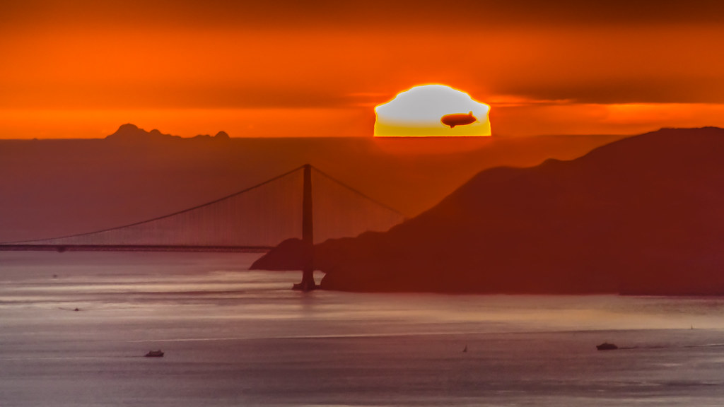
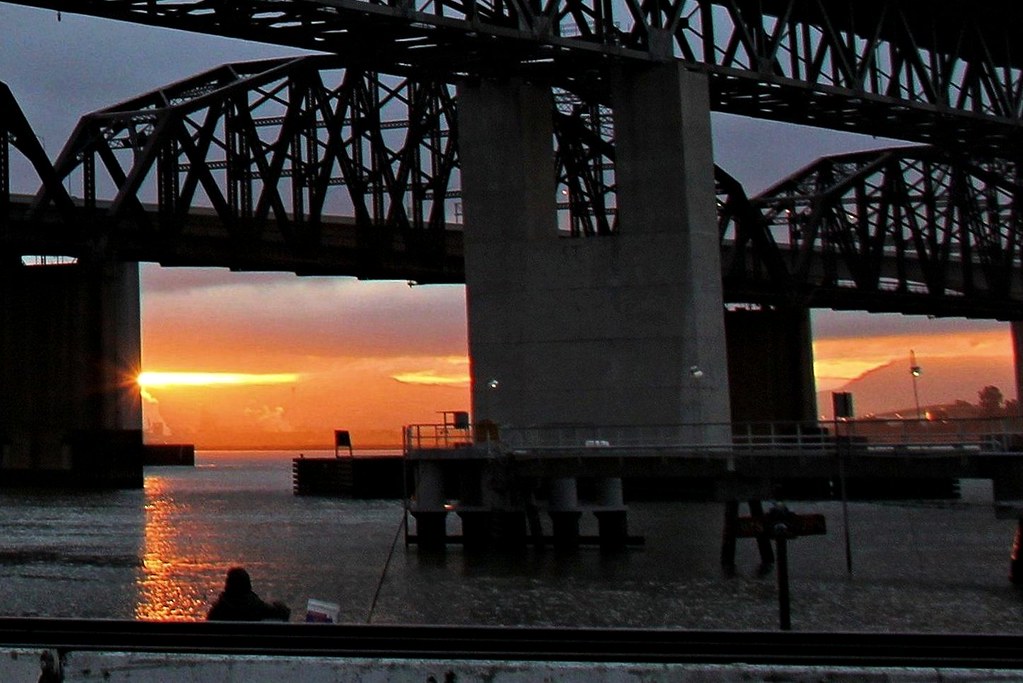
Sunset Flight

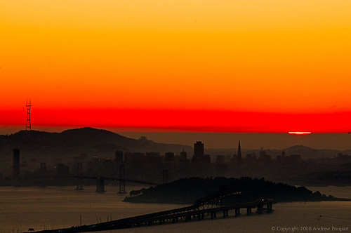
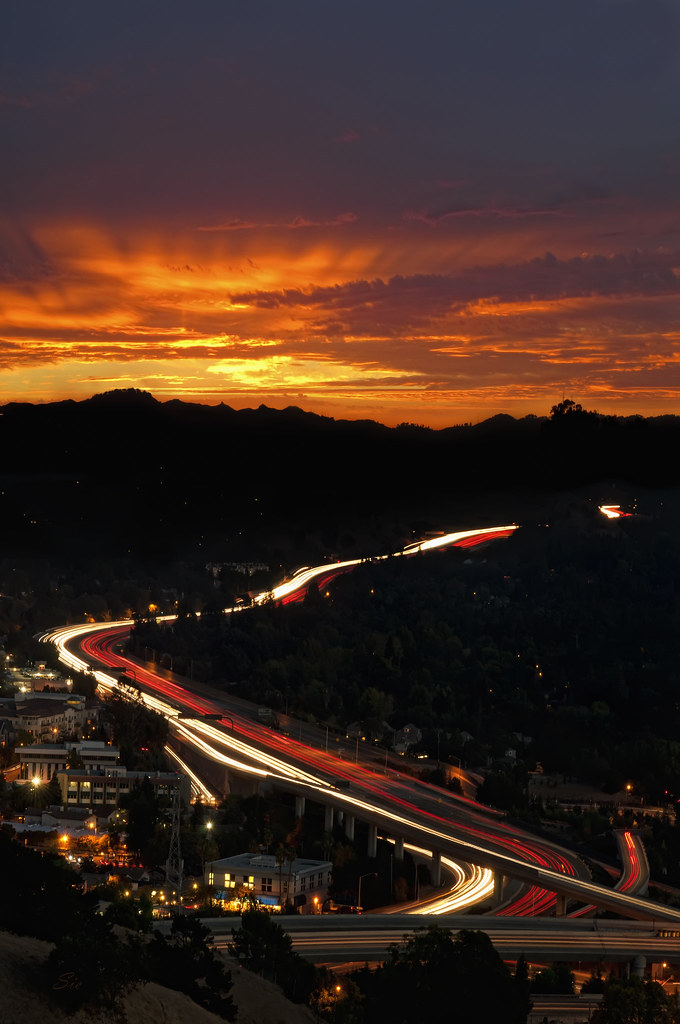
Bay Area Blaze

Day Two Hundred Fifty Seven
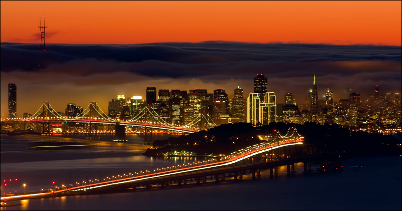
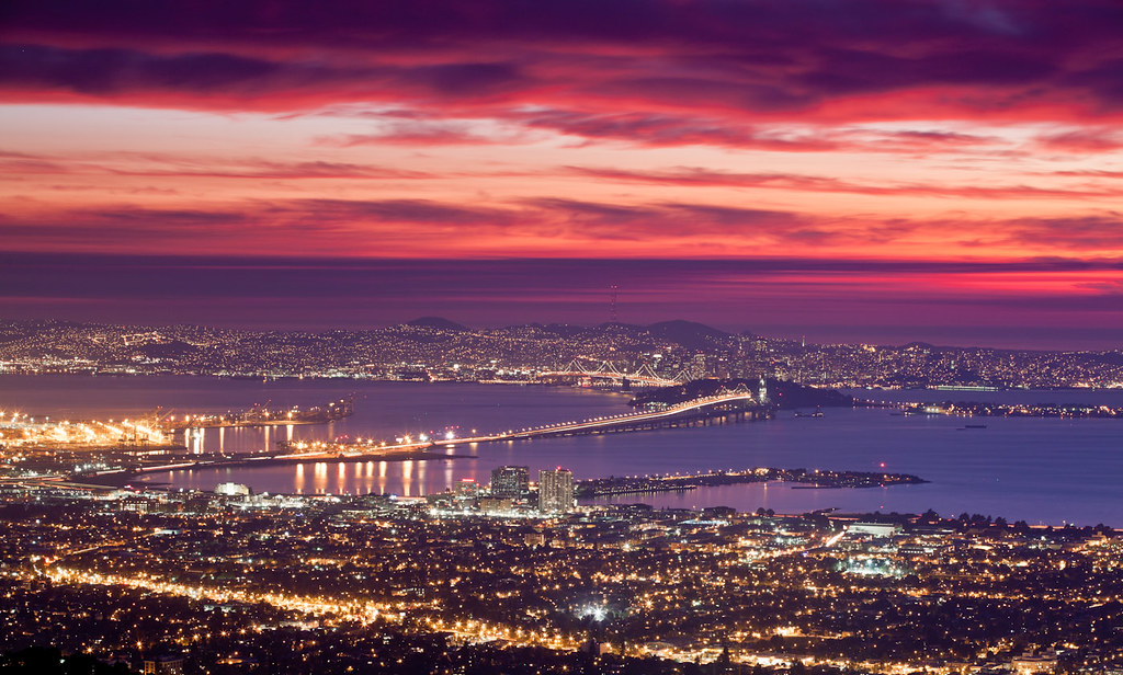
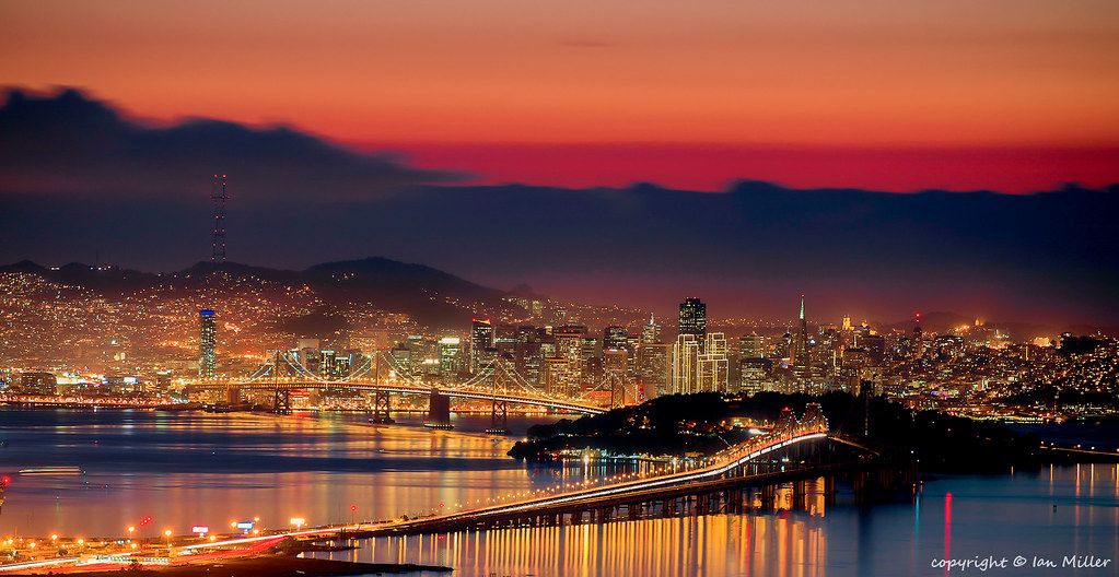
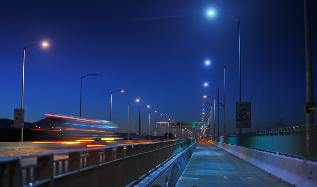
San Francisco by Night
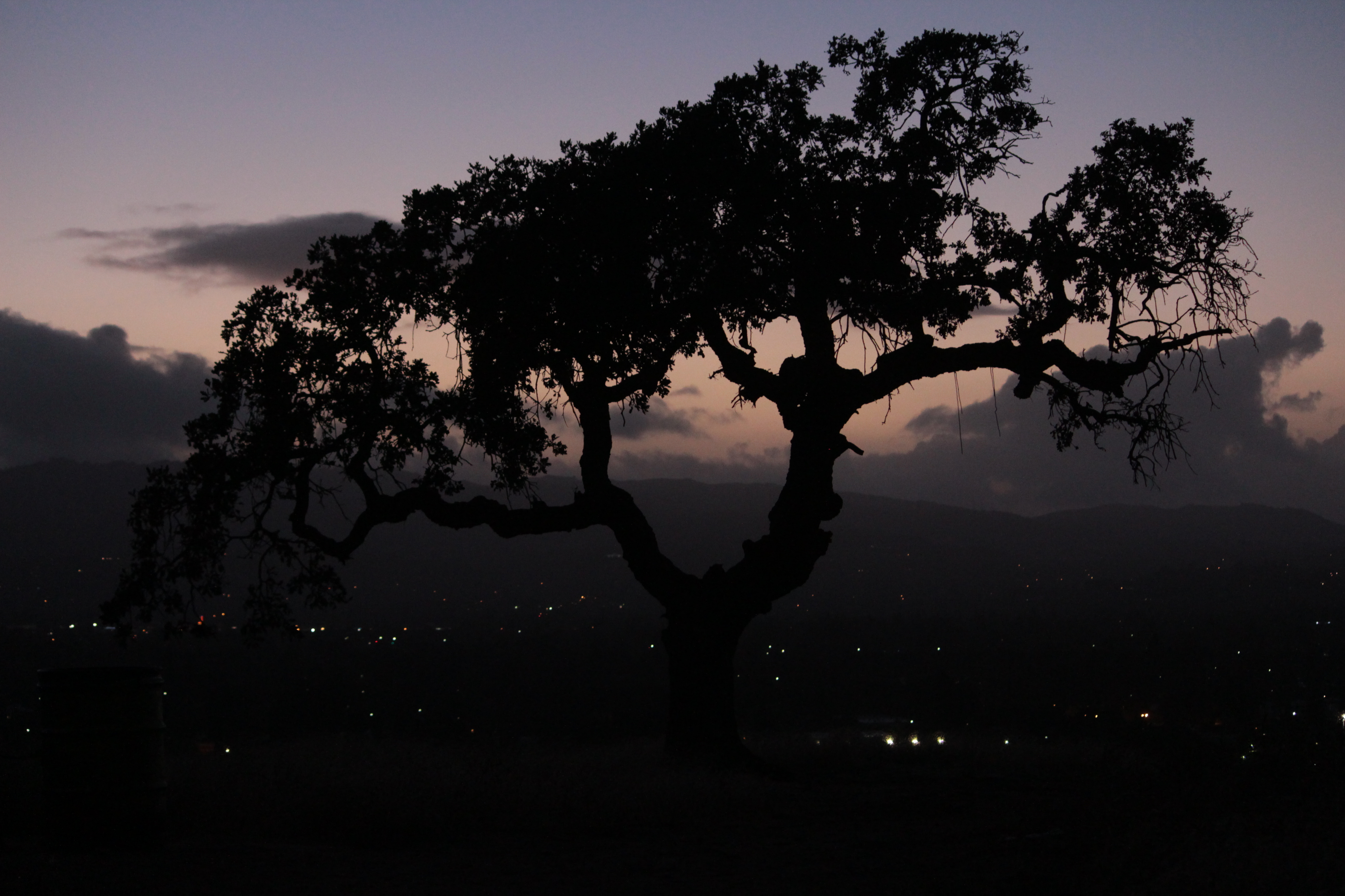
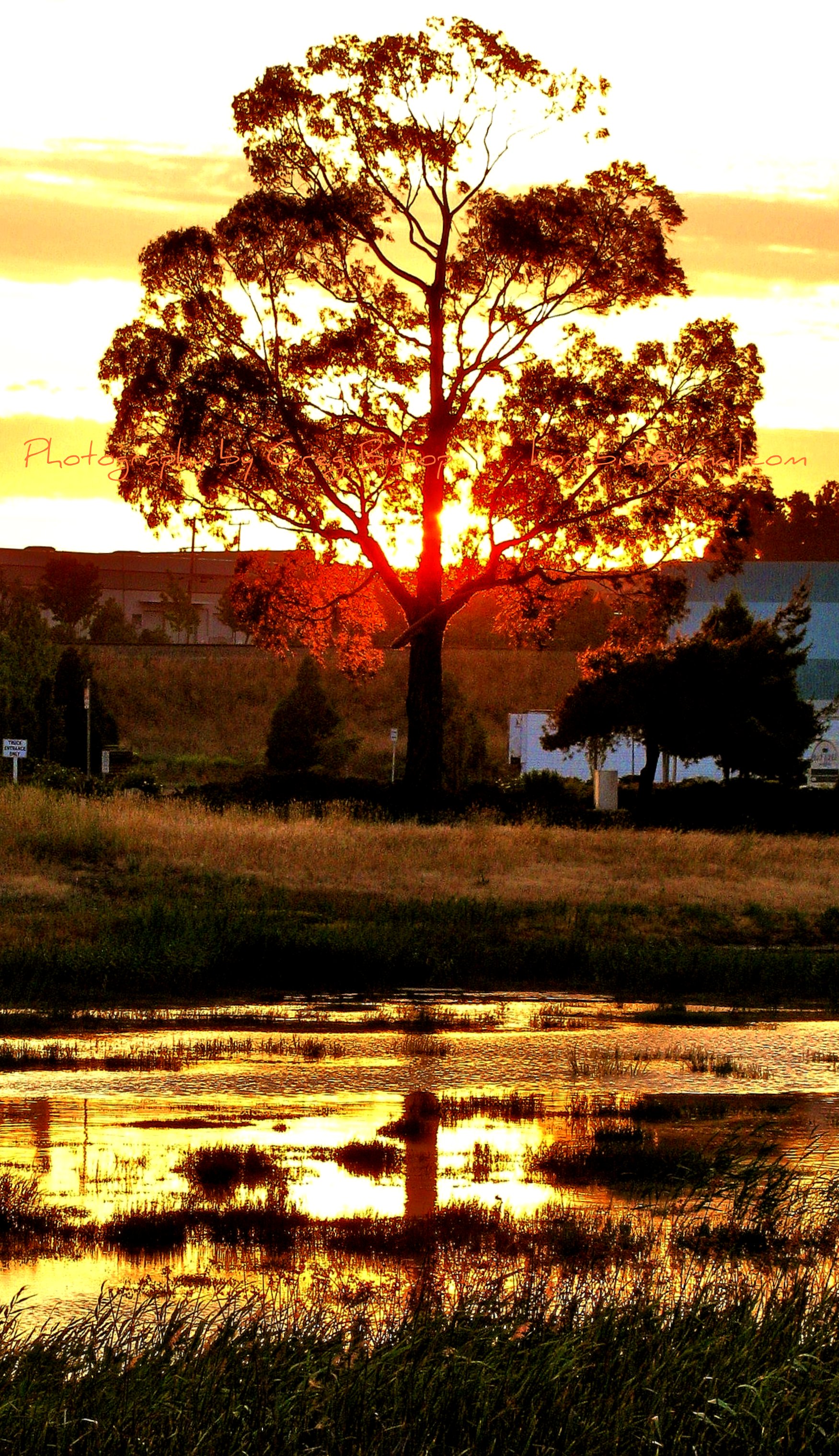
IMG_4282_Oak tree sillhouette

The Bay Connection: Berkeley Hills, CA
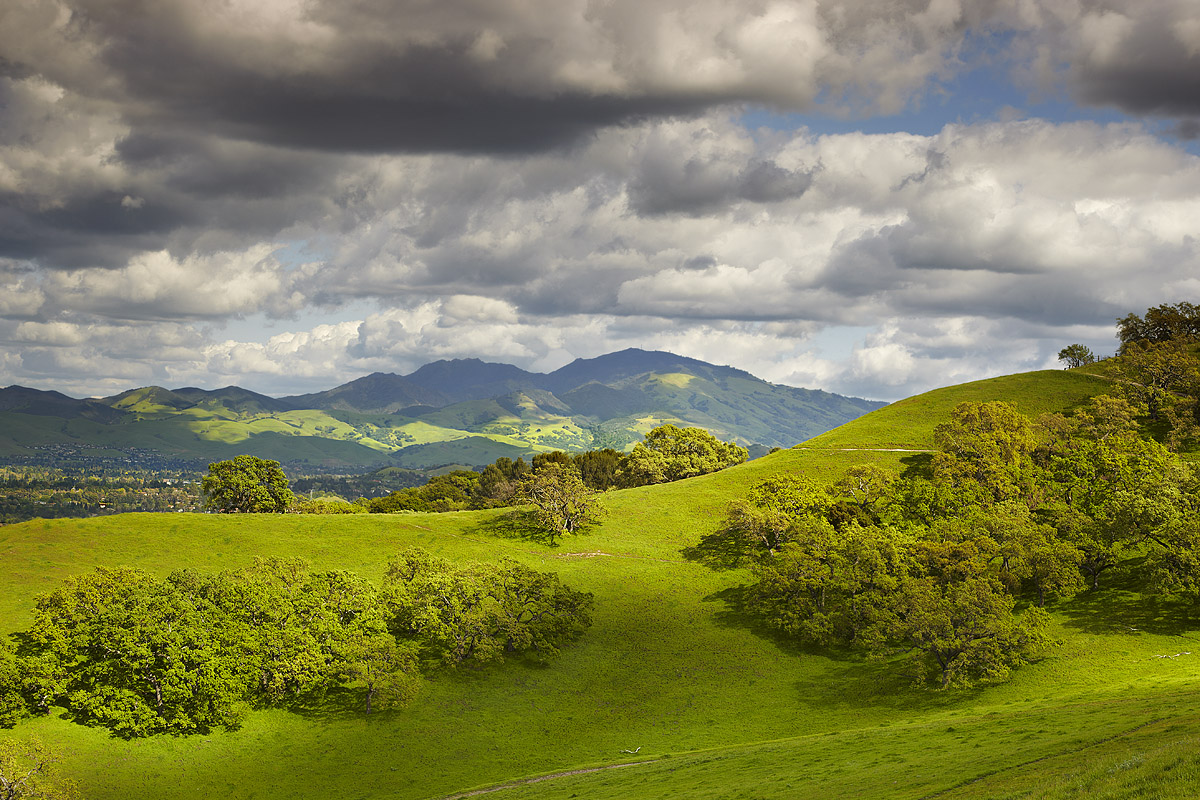
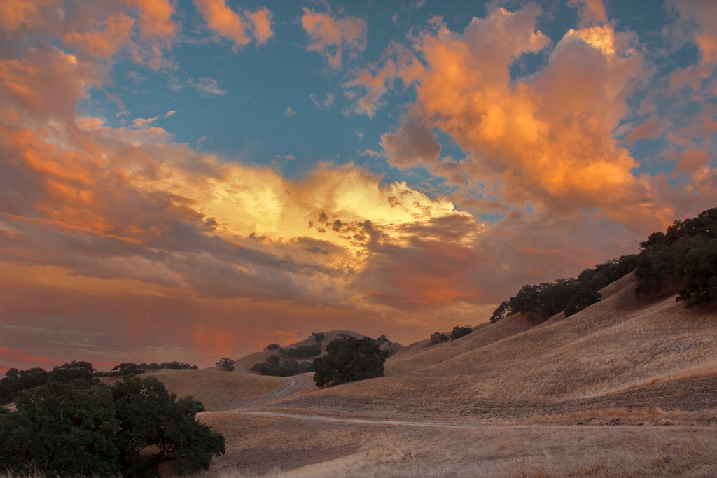
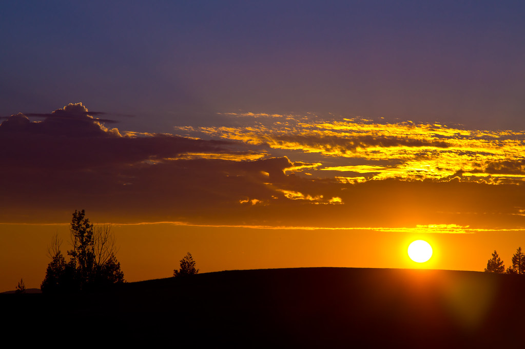
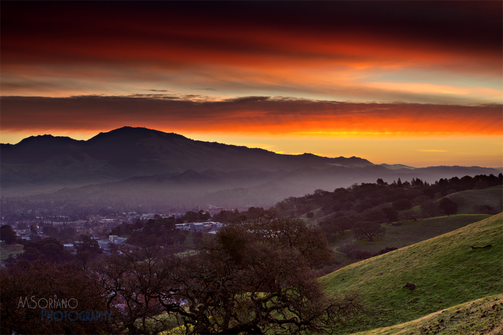
Mt. Diablo Sunset

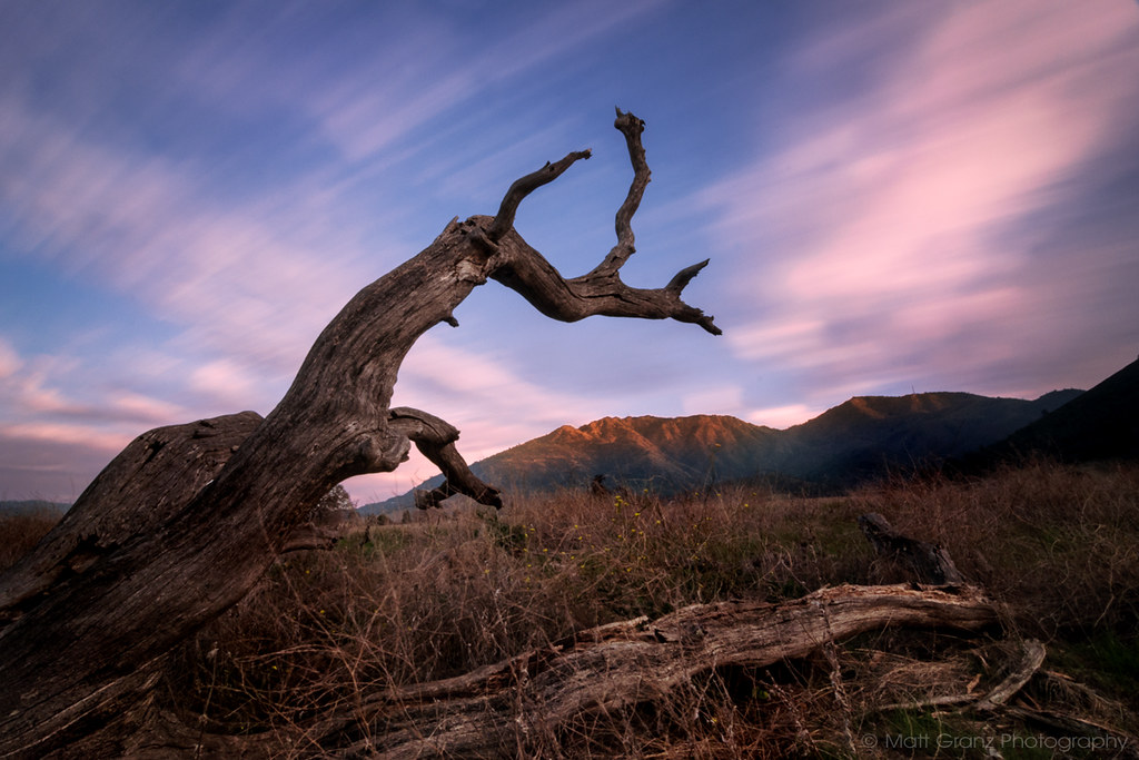
A Gnarly Sunset - California Oak
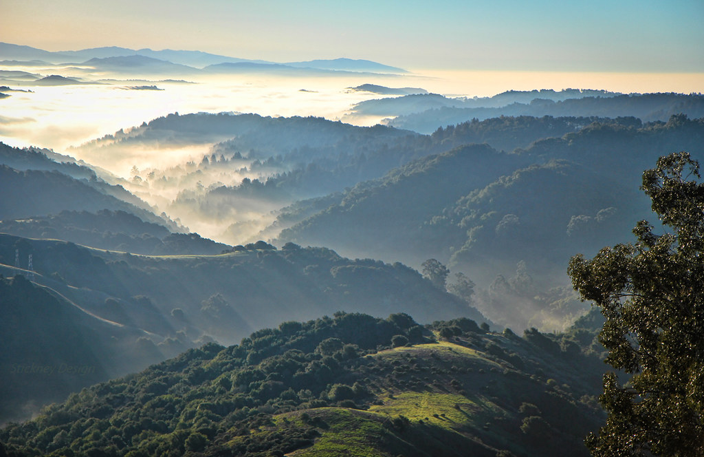
Diablo Spring #1 - Lafayette, California
Grizzly Point

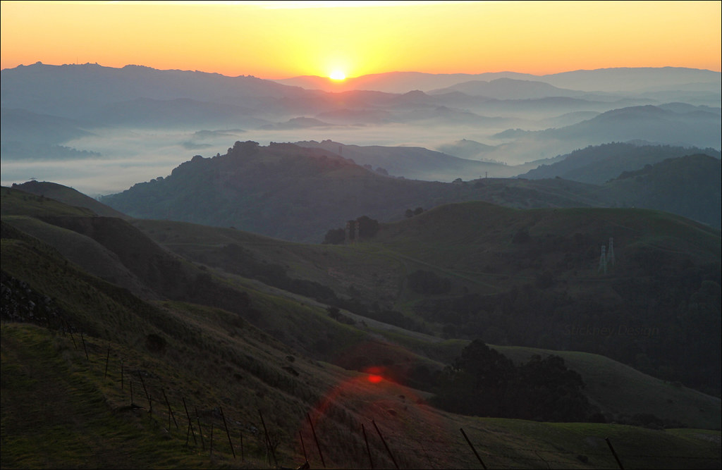
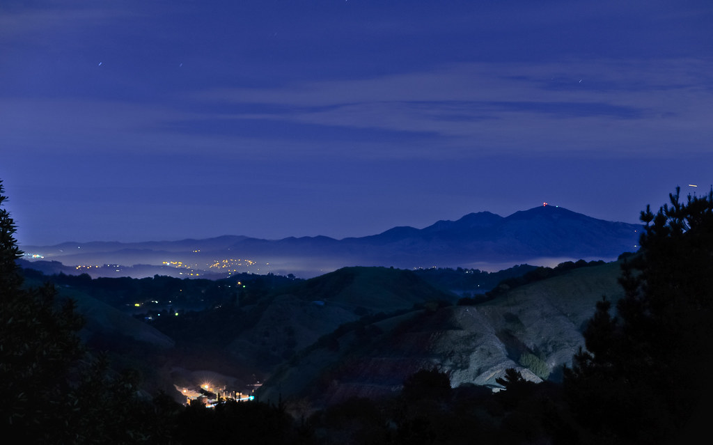
Mt Diablo Winter Sunrise
Diablo Valley View #1 - Pleasant Hill, California
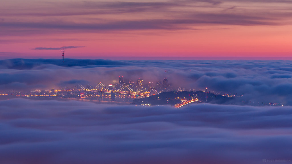
A Cloudy Mess
Grizzly Peak - Berkeley viewpoint (Explored)
Black Diamond Sunset

Refinery Sunset

Sunset 06.03.2012 c/o #Hipstamatic
San Francisco All Tucked In

Tilden Sunrise
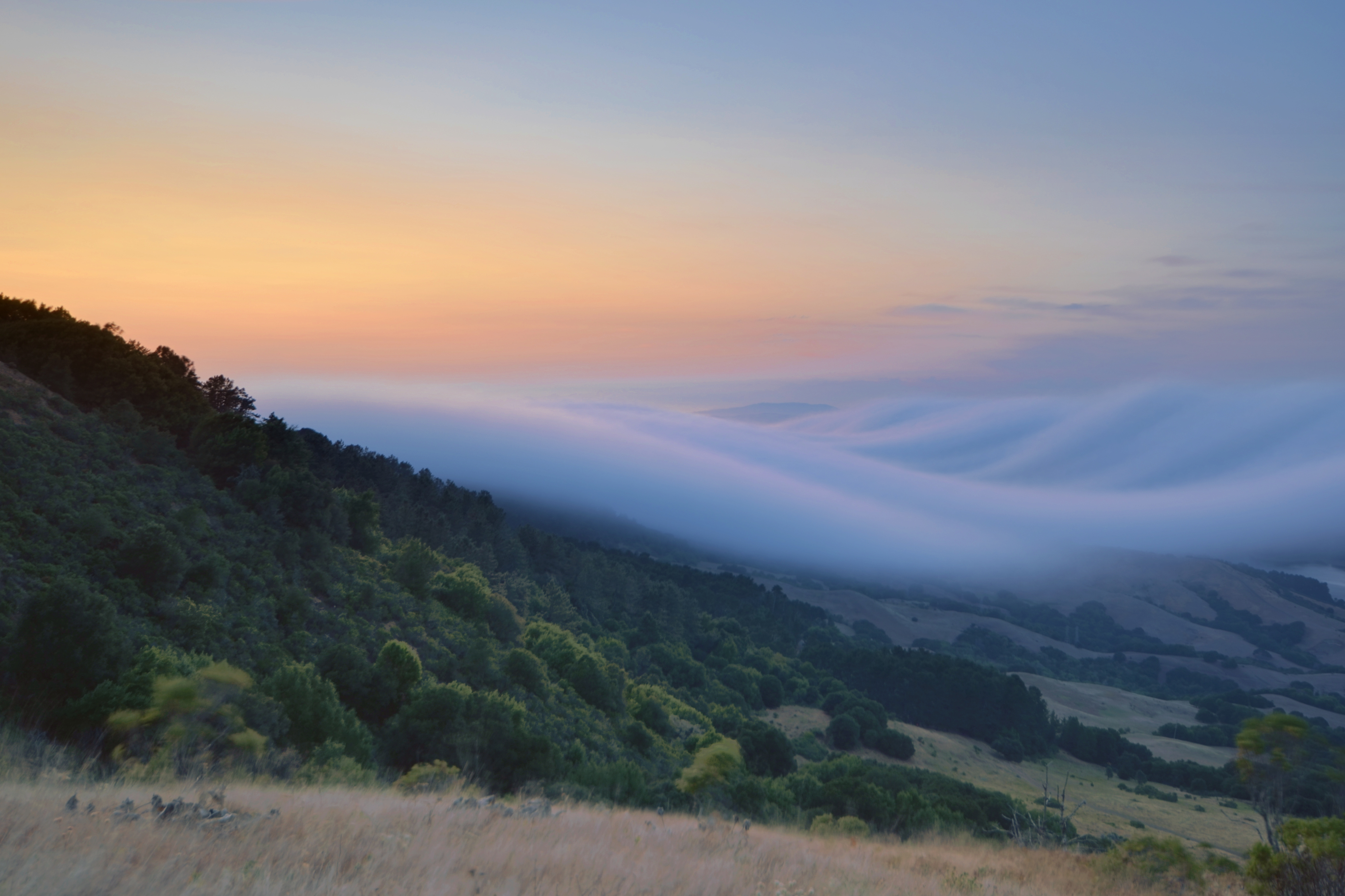
Catch the Wave
MT Diablo Sunrise
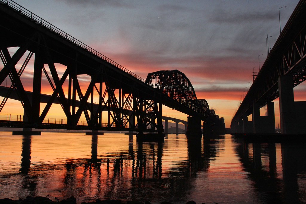
Benicia Bridges
Another Sibley Sunrise

1988-07-16 ATSF 9514 Martinez, CA.

Fork In The Road - Walnut Creek, California

Diablo Sunrise

Splitting Sky
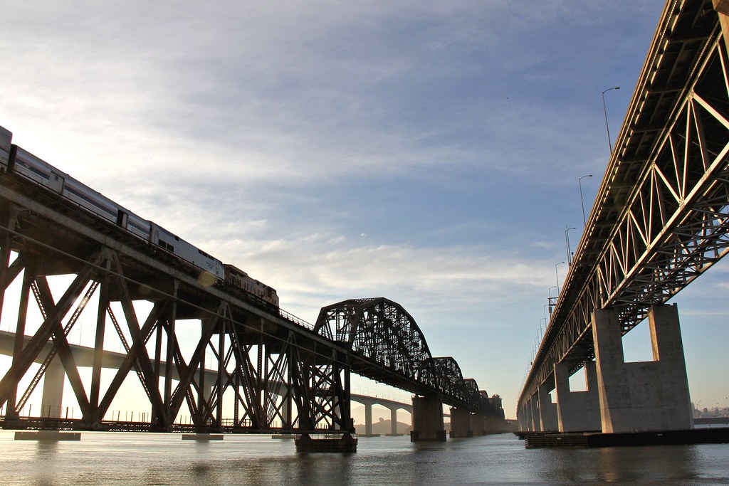
Benicia Rail Span
This is not a moonset
supply paths
Bay Sunset
Canyon Again
Farmer's Sunset
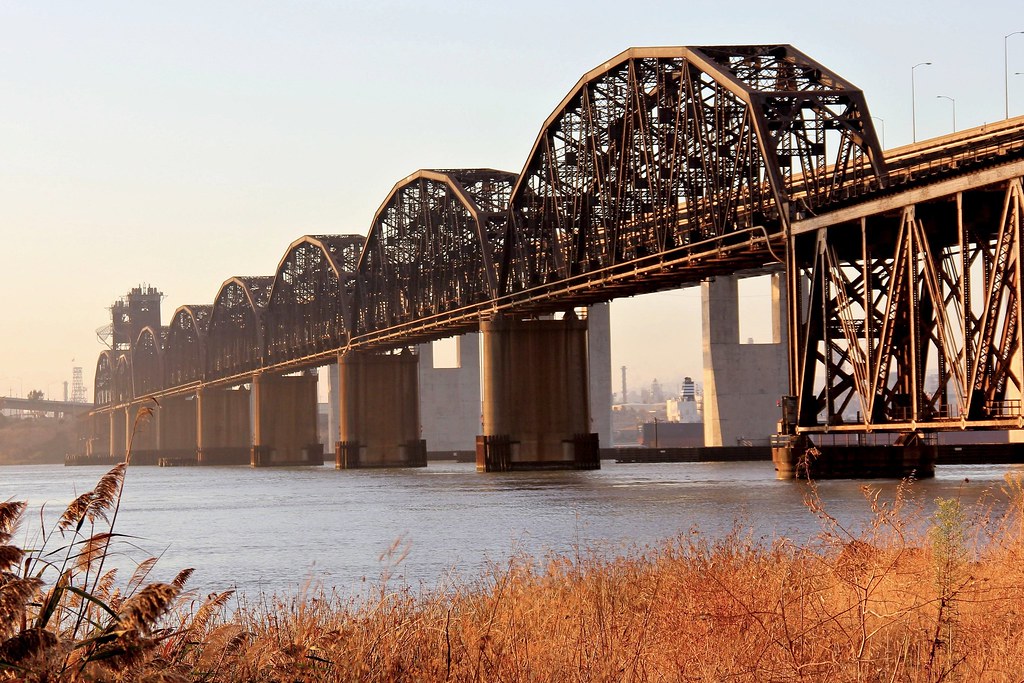
Benicia Railroad Bridge

Mt Diablo Dawn
Walnut Creek Sunrise

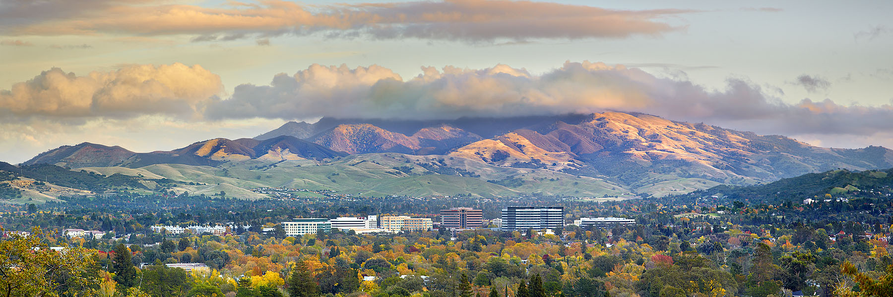
Walnut Creek with Mt. Diablo
trinitarian dawns

Walnut Creek Sunrise
Maureen Ln, Pleasant Hill, CA, USA Karte
Suchen Sie einen anderen Ort
Nahe Plätze
Pleasant Hill, Kalifornien, USA
May Ct, Pleasant Hill, CA, USA
Odin Dr, Pleasant Hill, CA, USA
Vivian Dr, Pleasant Hill, CA, USA
Norse Dr, Pleasant Hill, CA, USA
Pleasant Hill, Kalifornien, USA
Sylvia Dr, Pleasant Hill, CA, USA
Viking Drive, Viking Dr, Pleasant Hill, CA, USA
71 Viking Dr, Pleasant Hill, CA, USA
Putnam Blvd, Walnut Creek, CA, USA
59 Viking Dr, Pleasant Hill, CA, USA
Harvard Dr, Pleasant Hill, CA, USA
Ramona Drive, Ramona Dr, Pleasant Hill, CA, USA
Sunvalley Shopping Center, 1 Sunvalley Mall Rd, Concord, CA, USA
Harvey Dr, Walnut Creek, CA, USA
Monument Blvd, Concord, CA, USA
Monument Corridor, Concord, CA, USA
Candelero Dr, Walnut Creek, CA, USA
Laguna St, Concord, CA, USA
Letzte Suche
- San Telmo, Autonomen Stadt Buenos Aires, Argentinien Sonnenaufgang Sonnenuntergang Zeiten
- Congressional Dr, Stevensville, MD, USA Sonnenaufgang Sonnenuntergang Zeiten
- Papingo 04, Griechenland Sonnenaufgang Sonnenuntergang Zeiten
- Pagonija rock, Kranto 7-oji g. 8"N, Kaunas, Lithuania Sonnenaufgang Sonnenuntergang Zeiten
- Co Rd 87, Jamestown, CO, USA Sonnenaufgang Sonnenuntergang Zeiten
- Tenjo, Cundinamarca, Colombia Sonnenaufgang Sonnenuntergang Zeiten
- -1 Gosho, Ichihara, Chiba -, Japan Sonnenaufgang Sonnenuntergang Zeiten
- -, Japan Sonnenaufgang Sonnenuntergang Zeiten
- Spaceport America, Co Rd A, Truth or Consequences, NM, USA Sonnenaufgang Sonnenuntergang Zeiten
- Warwick, Rhode Island, USA Sonnenaufgang Sonnenuntergang Zeiten