Magic Mine Rd, Somerset, CA, USA Sonnenaufgang Sonnenuntergang Zeiten
Location: USA > Kalifornien > El Dorado County > Somerset >
Zeitzone:
America/Los_Angeles
Ortszeit:
2024-04-28 15:24:06
Länge:
-120.667575
Breite:
38.562697
Sonnenaufgang Heute:
06:06:26 AM
Sonnenuntergang Heute:
07:53:21 PM
Tageslänge heute:
13h 46m 55s
Sonnenaufgang morgen:
06:05:14 AM
Sonnenuntergang Morgen:
07:54:18 PM
Tageslänge von morgen:
13h 49m 4s
Alle Termine anzeigen
| Datum | Sonnenaufgang | Sonnenuntergang | Tageslänge |
|---|---|---|---|
| 2024-01-01 | 07:20:18 AM | 04:52:47 PM | 9h 32m 29s |
| 2024-01-02 | 07:20:24 AM | 04:53:37 PM | 9h 33m 13s |
| 2024-01-03 | 07:20:28 AM | 04:54:28 PM | 9h 34m 0s |
| 2024-01-04 | 07:20:30 AM | 04:55:20 PM | 9h 34m 50s |
| 2024-01-05 | 07:20:29 AM | 04:56:14 PM | 9h 35m 45s |
| 2024-01-06 | 07:20:26 AM | 04:57:09 PM | 9h 36m 43s |
| 2024-01-07 | 07:20:22 AM | 04:58:05 PM | 9h 37m 43s |
| 2024-01-08 | 07:20:15 AM | 04:59:02 PM | 9h 38m 47s |
| 2024-01-09 | 07:20:06 AM | 05:00:00 PM | 9h 39m 54s |
| 2024-01-10 | 07:19:55 AM | 05:00:59 PM | 9h 41m 4s |
| 2024-01-11 | 07:19:41 AM | 05:02:00 PM | 9h 42m 19s |
| 2024-01-12 | 07:19:26 AM | 05:03:01 PM | 9h 43m 35s |
| 2024-01-13 | 07:19:09 AM | 05:04:02 PM | 9h 44m 53s |
| 2024-01-14 | 07:18:49 AM | 05:05:05 PM | 9h 46m 16s |
| 2024-01-15 | 07:18:28 AM | 05:06:08 PM | 9h 47m 40s |
| 2024-01-16 | 07:18:04 AM | 05:07:12 PM | 9h 49m 8s |
| 2024-01-17 | 07:17:38 AM | 05:08:17 PM | 9h 50m 39s |
| 2024-01-18 | 07:17:11 AM | 05:09:22 PM | 9h 52m 11s |
| 2024-01-19 | 07:16:41 AM | 05:10:28 PM | 9h 53m 47s |
| 2024-01-20 | 07:16:09 AM | 05:11:34 PM | 9h 55m 25s |
| 2024-01-21 | 07:15:36 AM | 05:12:41 PM | 9h 57m 5s |
| 2024-01-22 | 07:15:00 AM | 05:13:48 PM | 9h 58m 48s |
| 2024-01-23 | 07:14:23 AM | 05:14:56 PM | 10h 0m 33s |
| 2024-01-24 | 07:13:44 AM | 05:16:03 PM | 10h 2m 19s |
| 2024-01-25 | 07:13:02 AM | 05:17:11 PM | 10h 4m 9s |
| 2024-01-26 | 07:12:19 AM | 05:18:20 PM | 10h 6m 1s |
| 2024-01-27 | 07:11:35 AM | 05:19:28 PM | 10h 7m 53s |
| 2024-01-28 | 07:10:48 AM | 05:20:37 PM | 10h 9m 49s |
| 2024-01-29 | 07:10:00 AM | 05:21:45 PM | 10h 11m 45s |
| 2024-01-30 | 07:09:10 AM | 05:22:54 PM | 10h 13m 44s |
| 2024-01-31 | 07:08:18 AM | 05:24:03 PM | 10h 15m 45s |
| 2024-02-01 | 07:07:25 AM | 05:25:12 PM | 10h 17m 47s |
| 2024-02-02 | 07:06:30 AM | 05:26:20 PM | 10h 19m 50s |
| 2024-02-03 | 07:05:33 AM | 05:27:29 PM | 10h 21m 56s |
| 2024-02-04 | 07:04:35 AM | 05:28:38 PM | 10h 24m 3s |
| 2024-02-05 | 07:03:36 AM | 05:29:47 PM | 10h 26m 11s |
| 2024-02-06 | 07:02:34 AM | 05:30:55 PM | 10h 28m 21s |
| 2024-02-07 | 07:01:32 AM | 05:32:03 PM | 10h 30m 31s |
| 2024-02-08 | 07:00:28 AM | 05:33:12 PM | 10h 32m 44s |
| 2024-02-09 | 06:59:23 AM | 05:34:20 PM | 10h 34m 57s |
| 2024-02-10 | 06:58:16 AM | 05:35:27 PM | 10h 37m 11s |
| 2024-02-11 | 06:57:08 AM | 05:36:35 PM | 10h 39m 27s |
| 2024-02-12 | 06:55:59 AM | 05:37:42 PM | 10h 41m 43s |
| 2024-02-13 | 06:54:48 AM | 05:38:49 PM | 10h 44m 1s |
| 2024-02-14 | 06:53:36 AM | 05:39:56 PM | 10h 46m 20s |
| 2024-02-15 | 06:52:23 AM | 05:41:03 PM | 10h 48m 40s |
| 2024-02-16 | 06:51:09 AM | 05:42:09 PM | 10h 51m 0s |
| 2024-02-17 | 06:49:54 AM | 05:43:15 PM | 10h 53m 21s |
| 2024-02-18 | 06:48:38 AM | 05:44:21 PM | 10h 55m 43s |
| 2024-02-19 | 06:47:21 AM | 05:45:26 PM | 10h 58m 5s |
| 2024-02-20 | 06:46:02 AM | 05:46:31 PM | 11h 0m 29s |
| 2024-02-21 | 06:44:43 AM | 05:47:36 PM | 11h 2m 53s |
| 2024-02-22 | 06:43:23 AM | 05:48:41 PM | 11h 5m 18s |
| 2024-02-23 | 06:42:02 AM | 05:49:45 PM | 11h 7m 43s |
| 2024-02-24 | 06:40:40 AM | 05:50:49 PM | 11h 10m 9s |
| 2024-02-25 | 06:39:17 AM | 05:51:52 PM | 11h 12m 35s |
| 2024-02-26 | 06:37:53 AM | 05:52:56 PM | 11h 15m 3s |
| 2024-02-27 | 06:36:29 AM | 05:53:59 PM | 11h 17m 30s |
| 2024-02-28 | 06:35:03 AM | 05:55:01 PM | 11h 19m 58s |
| 2024-02-29 | 06:33:37 AM | 05:56:04 PM | 11h 22m 27s |
| 2024-03-01 | 06:32:11 AM | 05:57:06 PM | 11h 24m 55s |
| 2024-03-02 | 06:30:44 AM | 05:58:07 PM | 11h 27m 23s |
| 2024-03-03 | 06:29:16 AM | 05:59:09 PM | 11h 29m 53s |
| 2024-03-04 | 06:27:47 AM | 06:00:10 PM | 11h 32m 23s |
| 2024-03-05 | 06:26:18 AM | 06:01:11 PM | 11h 34m 53s |
| 2024-03-06 | 06:24:49 AM | 06:02:11 PM | 11h 37m 22s |
| 2024-03-07 | 06:23:19 AM | 06:03:12 PM | 11h 39m 53s |
| 2024-03-08 | 06:21:49 AM | 06:04:12 PM | 11h 42m 23s |
| 2024-03-09 | 06:20:18 AM | 06:05:12 PM | 11h 44m 54s |
| 2024-03-10 | 07:18:50 AM | 07:06:09 PM | 11h 47m 19s |
| 2024-03-11 | 07:17:19 AM | 07:07:08 PM | 11h 49m 49s |
| 2024-03-12 | 07:15:47 AM | 07:08:07 PM | 11h 52m 20s |
| 2024-03-13 | 07:14:15 AM | 07:09:06 PM | 11h 54m 51s |
| 2024-03-14 | 07:12:42 AM | 07:10:05 PM | 11h 57m 23s |
| 2024-03-15 | 07:11:09 AM | 07:11:03 PM | 11h 59m 54s |
| 2024-03-16 | 07:09:37 AM | 07:12:02 PM | 12h 2m 25s |
| 2024-03-17 | 07:08:03 AM | 07:13:00 PM | 12h 4m 57s |
| 2024-03-18 | 07:06:30 AM | 07:13:58 PM | 12h 7m 28s |
| 2024-03-19 | 07:04:57 AM | 07:14:56 PM | 12h 9m 59s |
| 2024-03-20 | 07:03:23 AM | 07:15:53 PM | 12h 12m 30s |
| 2024-03-21 | 07:01:50 AM | 07:16:51 PM | 12h 15m 1s |
| 2024-03-22 | 07:00:16 AM | 07:17:49 PM | 12h 17m 33s |
| 2024-03-23 | 06:58:43 AM | 07:18:46 PM | 12h 20m 3s |
| 2024-03-24 | 06:57:09 AM | 07:19:43 PM | 12h 22m 34s |
| 2024-03-25 | 06:55:36 AM | 07:20:40 PM | 12h 25m 4s |
| 2024-03-26 | 06:54:03 AM | 07:21:37 PM | 12h 27m 34s |
| 2024-03-27 | 06:52:29 AM | 07:22:34 PM | 12h 30m 5s |
| 2024-03-28 | 06:50:56 AM | 07:23:31 PM | 12h 32m 35s |
| 2024-03-29 | 06:49:24 AM | 07:24:28 PM | 12h 35m 4s |
| 2024-03-30 | 06:47:51 AM | 07:25:25 PM | 12h 37m 34s |
| 2024-03-31 | 06:46:19 AM | 07:26:22 PM | 12h 40m 3s |
| 2024-04-01 | 06:44:46 AM | 07:27:19 PM | 12h 42m 33s |
| 2024-04-02 | 06:43:15 AM | 07:28:16 PM | 12h 45m 1s |
| 2024-04-03 | 06:41:43 AM | 07:29:13 PM | 12h 47m 30s |
| 2024-04-04 | 06:40:12 AM | 07:30:09 PM | 12h 49m 57s |
| 2024-04-05 | 06:38:41 AM | 07:31:06 PM | 12h 52m 25s |
| 2024-04-06 | 06:37:11 AM | 07:32:03 PM | 12h 54m 52s |
| 2024-04-07 | 06:35:41 AM | 07:33:00 PM | 12h 57m 19s |
| 2024-04-08 | 06:34:12 AM | 07:33:57 PM | 12h 59m 45s |
| 2024-04-09 | 06:32:43 AM | 07:34:54 PM | 13h 2m 11s |
| 2024-04-10 | 06:31:15 AM | 07:35:51 PM | 13h 4m 36s |
| 2024-04-11 | 06:29:47 AM | 07:36:47 PM | 13h 7m 0s |
| 2024-04-12 | 06:28:20 AM | 07:37:44 PM | 13h 9m 24s |
| 2024-04-13 | 06:26:53 AM | 07:38:41 PM | 13h 11m 48s |
| 2024-04-14 | 06:25:28 AM | 07:39:39 PM | 13h 14m 11s |
| 2024-04-15 | 06:24:02 AM | 07:40:36 PM | 13h 16m 34s |
| 2024-04-16 | 06:22:38 AM | 07:41:33 PM | 13h 18m 55s |
| 2024-04-17 | 06:21:14 AM | 07:42:30 PM | 13h 21m 16s |
| 2024-04-18 | 06:19:52 AM | 07:43:27 PM | 13h 23m 35s |
| 2024-04-19 | 06:18:30 AM | 07:44:24 PM | 13h 25m 54s |
| 2024-04-20 | 06:17:08 AM | 07:45:22 PM | 13h 28m 14s |
| 2024-04-21 | 06:15:48 AM | 07:46:19 PM | 13h 30m 31s |
| 2024-04-22 | 06:14:29 AM | 07:47:16 PM | 13h 32m 47s |
| 2024-04-23 | 06:13:10 AM | 07:48:13 PM | 13h 35m 3s |
| 2024-04-24 | 06:11:53 AM | 07:49:10 PM | 13h 37m 17s |
| 2024-04-25 | 06:10:36 AM | 07:50:08 PM | 13h 39m 32s |
| 2024-04-26 | 06:09:21 AM | 07:51:05 PM | 13h 41m 44s |
| 2024-04-27 | 06:08:07 AM | 07:52:02 PM | 13h 43m 55s |
| 2024-04-28 | 06:06:53 AM | 07:52:59 PM | 13h 46m 6s |
| 2024-04-29 | 06:05:41 AM | 07:53:56 PM | 13h 48m 15s |
| 2024-04-30 | 06:04:30 AM | 07:54:53 PM | 13h 50m 23s |
| 2024-05-01 | 06:03:20 AM | 07:55:50 PM | 13h 52m 30s |
| 2024-05-02 | 06:02:12 AM | 07:56:47 PM | 13h 54m 35s |
| 2024-05-03 | 06:01:04 AM | 07:57:43 PM | 13h 56m 39s |
| 2024-05-04 | 05:59:58 AM | 07:58:40 PM | 13h 58m 42s |
| 2024-05-05 | 05:58:53 AM | 07:59:36 PM | 14h 0m 43s |
| 2024-05-06 | 05:57:50 AM | 08:00:32 PM | 14h 2m 42s |
| 2024-05-07 | 05:56:48 AM | 08:01:28 PM | 14h 4m 40s |
| 2024-05-08 | 05:55:47 AM | 08:02:24 PM | 14h 6m 37s |
| 2024-05-09 | 05:54:48 AM | 08:03:19 PM | 14h 8m 31s |
| 2024-05-10 | 05:53:50 AM | 08:04:14 PM | 14h 10m 24s |
| 2024-05-11 | 05:52:54 AM | 08:05:09 PM | 14h 12m 15s |
| 2024-05-12 | 05:51:59 AM | 08:06:03 PM | 14h 14m 4s |
| 2024-05-13 | 05:51:05 AM | 08:06:57 PM | 14h 15m 52s |
| 2024-05-14 | 05:50:14 AM | 08:07:51 PM | 14h 17m 37s |
| 2024-05-15 | 05:49:23 AM | 08:08:44 PM | 14h 19m 21s |
| 2024-05-16 | 05:48:35 AM | 08:09:37 PM | 14h 21m 2s |
| 2024-05-17 | 05:47:48 AM | 08:10:29 PM | 14h 22m 41s |
| 2024-05-18 | 05:47:02 AM | 08:11:20 PM | 14h 24m 18s |
| 2024-05-19 | 05:46:18 AM | 08:12:12 PM | 14h 25m 54s |
| 2024-05-20 | 05:45:36 AM | 08:13:02 PM | 14h 27m 26s |
| 2024-05-21 | 05:44:56 AM | 08:13:52 PM | 14h 28m 56s |
| 2024-05-22 | 05:44:17 AM | 08:14:41 PM | 14h 30m 24s |
| 2024-05-23 | 05:43:40 AM | 08:15:29 PM | 14h 31m 49s |
| 2024-05-24 | 05:43:05 AM | 08:16:17 PM | 14h 33m 12s |
| 2024-05-25 | 05:42:32 AM | 08:17:04 PM | 14h 34m 32s |
| 2024-05-26 | 05:42:00 AM | 08:17:50 PM | 14h 35m 50s |
| 2024-05-27 | 05:41:30 AM | 08:18:35 PM | 14h 37m 5s |
| 2024-05-28 | 05:41:02 AM | 08:19:19 PM | 14h 38m 17s |
| 2024-05-29 | 05:40:36 AM | 08:20:02 PM | 14h 39m 26s |
| 2024-05-30 | 05:40:12 AM | 08:20:44 PM | 14h 40m 32s |
| 2024-05-31 | 05:39:49 AM | 08:21:25 PM | 14h 41m 36s |
| 2024-06-01 | 05:39:28 AM | 08:22:06 PM | 14h 42m 38s |
| 2024-06-02 | 05:39:09 AM | 08:22:44 PM | 14h 43m 35s |
| 2024-06-03 | 05:38:52 AM | 08:23:22 PM | 14h 44m 30s |
| 2024-06-04 | 05:38:37 AM | 08:23:59 PM | 14h 45m 22s |
| 2024-06-05 | 05:38:24 AM | 08:24:34 PM | 14h 46m 10s |
| 2024-06-06 | 05:38:13 AM | 08:25:08 PM | 14h 46m 55s |
| 2024-06-07 | 05:38:03 AM | 08:25:41 PM | 14h 47m 38s |
| 2024-06-08 | 05:37:55 AM | 08:26:13 PM | 14h 48m 18s |
| 2024-06-09 | 05:37:49 AM | 08:26:43 PM | 14h 48m 54s |
| 2024-06-10 | 05:37:45 AM | 08:27:11 PM | 14h 49m 26s |
| 2024-06-11 | 05:37:43 AM | 08:27:38 PM | 14h 49m 55s |
| 2024-06-12 | 05:37:43 AM | 08:28:04 PM | 14h 50m 21s |
| 2024-06-13 | 05:37:44 AM | 08:28:28 PM | 14h 50m 44s |
| 2024-06-14 | 05:37:47 AM | 08:28:51 PM | 14h 51m 4s |
| 2024-06-15 | 05:37:52 AM | 08:29:12 PM | 14h 51m 20s |
| 2024-06-16 | 05:37:59 AM | 08:29:31 PM | 14h 51m 32s |
| 2024-06-17 | 05:38:07 AM | 08:29:49 PM | 14h 51m 42s |
| 2024-06-18 | 05:38:17 AM | 08:30:05 PM | 14h 51m 48s |
| 2024-06-19 | 05:38:29 AM | 08:30:19 PM | 14h 51m 50s |
| 2024-06-20 | 05:38:43 AM | 08:30:32 PM | 14h 51m 49s |
| 2024-06-21 | 05:38:58 AM | 08:30:42 PM | 14h 51m 44s |
| 2024-06-22 | 05:39:15 AM | 08:30:52 PM | 14h 51m 37s |
| 2024-06-23 | 05:39:33 AM | 08:30:59 PM | 14h 51m 26s |
| 2024-06-24 | 05:39:53 AM | 08:31:04 PM | 14h 51m 11s |
| 2024-06-25 | 05:40:14 AM | 08:31:08 PM | 14h 50m 54s |
| 2024-06-26 | 05:40:37 AM | 08:31:10 PM | 14h 50m 33s |
| 2024-06-27 | 05:41:02 AM | 08:31:10 PM | 14h 50m 8s |
| 2024-06-28 | 05:41:28 AM | 08:31:08 PM | 14h 49m 40s |
| 2024-06-29 | 05:41:55 AM | 08:31:04 PM | 14h 49m 9s |
| 2024-06-30 | 05:42:24 AM | 08:30:58 PM | 14h 48m 34s |
| 2024-07-01 | 05:42:54 AM | 08:30:51 PM | 14h 47m 57s |
| 2024-07-02 | 05:43:25 AM | 08:30:42 PM | 14h 47m 17s |
| 2024-07-03 | 05:43:57 AM | 08:30:30 PM | 14h 46m 33s |
| 2024-07-04 | 05:44:31 AM | 08:30:17 PM | 14h 45m 46s |
| 2024-07-05 | 05:45:06 AM | 08:30:02 PM | 14h 44m 56s |
| 2024-07-06 | 05:45:42 AM | 08:29:45 PM | 14h 44m 3s |
| 2024-07-07 | 05:46:19 AM | 08:29:26 PM | 14h 43m 7s |
| 2024-07-08 | 05:46:58 AM | 08:29:05 PM | 14h 42m 7s |
| 2024-07-09 | 05:47:37 AM | 08:28:43 PM | 14h 41m 6s |
| 2024-07-10 | 05:48:17 AM | 08:28:18 PM | 14h 40m 1s |
| 2024-07-11 | 05:48:58 AM | 08:27:52 PM | 14h 38m 54s |
| 2024-07-12 | 05:49:40 AM | 08:27:23 PM | 14h 37m 43s |
| 2024-07-13 | 05:50:23 AM | 08:26:53 PM | 14h 36m 30s |
| 2024-07-14 | 05:51:07 AM | 08:26:21 PM | 14h 35m 14s |
| 2024-07-15 | 05:51:52 AM | 08:25:48 PM | 14h 33m 56s |
| 2024-07-16 | 05:52:37 AM | 08:25:12 PM | 14h 32m 35s |
| 2024-07-17 | 05:53:23 AM | 08:24:35 PM | 14h 31m 12s |
| 2024-07-18 | 05:54:10 AM | 08:23:56 PM | 14h 29m 46s |
| 2024-07-19 | 05:54:57 AM | 08:23:15 PM | 14h 28m 18s |
| 2024-07-20 | 05:55:45 AM | 08:22:32 PM | 14h 26m 47s |
| 2024-07-21 | 05:56:33 AM | 08:21:48 PM | 14h 25m 15s |
| 2024-07-22 | 05:57:22 AM | 08:21:02 PM | 14h 23m 40s |
| 2024-07-23 | 05:58:12 AM | 08:20:14 PM | 14h 22m 2s |
| 2024-07-24 | 05:59:02 AM | 08:19:25 PM | 14h 20m 23s |
| 2024-07-25 | 05:59:52 AM | 08:18:34 PM | 14h 18m 42s |
| 2024-07-26 | 06:00:43 AM | 08:17:42 PM | 14h 16m 59s |
| 2024-07-27 | 06:01:34 AM | 08:16:48 PM | 14h 15m 14s |
| 2024-07-28 | 06:02:25 AM | 08:15:52 PM | 14h 13m 27s |
| 2024-07-29 | 06:03:17 AM | 08:14:55 PM | 14h 11m 38s |
| 2024-07-30 | 06:04:09 AM | 08:13:56 PM | 14h 9m 47s |
| 2024-07-31 | 06:05:02 AM | 08:12:56 PM | 14h 7m 54s |
| 2024-08-01 | 06:05:54 AM | 08:11:55 PM | 14h 6m 1s |
| 2024-08-02 | 06:06:47 AM | 08:10:52 PM | 14h 4m 5s |
| 2024-08-03 | 06:07:40 AM | 08:09:47 PM | 14h 2m 7s |
| 2024-08-04 | 06:08:33 AM | 08:08:42 PM | 14h 0m 9s |
| 2024-08-05 | 06:09:26 AM | 08:07:35 PM | 13h 58m 9s |
| 2024-08-06 | 06:10:19 AM | 08:06:26 PM | 13h 56m 7s |
| 2024-08-07 | 06:11:13 AM | 08:05:17 PM | 13h 54m 4s |
| 2024-08-08 | 06:12:06 AM | 08:04:06 PM | 13h 52m 0s |
| 2024-08-09 | 06:12:59 AM | 08:02:54 PM | 13h 49m 55s |
| 2024-08-10 | 06:13:53 AM | 08:01:41 PM | 13h 47m 48s |
| 2024-08-11 | 06:14:47 AM | 08:00:26 PM | 13h 45m 39s |
| 2024-08-12 | 06:15:40 AM | 07:59:11 PM | 13h 43m 31s |
| 2024-08-13 | 06:16:34 AM | 07:57:54 PM | 13h 41m 20s |
| 2024-08-14 | 06:17:27 AM | 07:56:37 PM | 13h 39m 10s |
| 2024-08-15 | 06:18:21 AM | 07:55:18 PM | 13h 36m 57s |
| 2024-08-16 | 06:19:14 AM | 07:53:59 PM | 13h 34m 45s |
| 2024-08-17 | 06:20:08 AM | 07:52:38 PM | 13h 32m 30s |
| 2024-08-18 | 06:21:01 AM | 07:51:17 PM | 13h 30m 16s |
| 2024-08-19 | 06:21:55 AM | 07:49:54 PM | 13h 27m 59s |
| 2024-08-20 | 06:22:48 AM | 07:48:31 PM | 13h 25m 43s |
| 2024-08-21 | 06:23:42 AM | 07:47:07 PM | 13h 23m 25s |
| 2024-08-22 | 06:24:35 AM | 07:45:42 PM | 13h 21m 7s |
| 2024-08-23 | 06:25:28 AM | 07:44:16 PM | 13h 18m 48s |
| 2024-08-24 | 06:26:21 AM | 07:42:49 PM | 13h 16m 28s |
| 2024-08-25 | 06:27:14 AM | 07:41:22 PM | 13h 14m 8s |
| 2024-08-26 | 06:28:07 AM | 07:39:54 PM | 13h 11m 47s |
| 2024-08-27 | 06:29:00 AM | 07:38:26 PM | 13h 9m 26s |
| 2024-08-28 | 06:29:53 AM | 07:36:57 PM | 13h 7m 4s |
| 2024-08-29 | 06:30:46 AM | 07:35:27 PM | 13h 4m 41s |
| 2024-08-30 | 06:31:38 AM | 07:33:56 PM | 13h 2m 18s |
| 2024-08-31 | 06:32:31 AM | 07:32:25 PM | 12h 59m 54s |
| 2024-09-01 | 06:33:24 AM | 07:30:54 PM | 12h 57m 30s |
| 2024-09-02 | 06:34:16 AM | 07:29:22 PM | 12h 55m 6s |
| 2024-09-03 | 06:35:09 AM | 07:27:50 PM | 12h 52m 41s |
| 2024-09-04 | 06:36:01 AM | 07:26:17 PM | 12h 50m 16s |
| 2024-09-05 | 06:36:54 AM | 07:24:44 PM | 12h 47m 50s |
| 2024-09-06 | 06:37:46 AM | 07:23:10 PM | 12h 45m 24s |
| 2024-09-07 | 06:38:38 AM | 07:21:36 PM | 12h 42m 58s |
| 2024-09-08 | 06:39:31 AM | 07:20:02 PM | 12h 40m 31s |
| 2024-09-09 | 06:40:23 AM | 07:18:27 PM | 12h 38m 4s |
| 2024-09-10 | 06:41:16 AM | 07:16:53 PM | 12h 35m 37s |
| 2024-09-11 | 06:42:08 AM | 07:15:18 PM | 12h 33m 10s |
| 2024-09-12 | 06:43:01 AM | 07:13:42 PM | 12h 30m 41s |
| 2024-09-13 | 06:43:53 AM | 07:12:07 PM | 12h 28m 14s |
| 2024-09-14 | 06:44:46 AM | 07:10:32 PM | 12h 25m 46s |
| 2024-09-15 | 06:45:39 AM | 07:08:56 PM | 12h 23m 17s |
| 2024-09-16 | 06:46:31 AM | 07:07:20 PM | 12h 20m 49s |
| 2024-09-17 | 06:47:24 AM | 07:05:45 PM | 12h 18m 21s |
| 2024-09-18 | 06:48:17 AM | 07:04:09 PM | 12h 15m 52s |
| 2024-09-19 | 06:49:10 AM | 07:02:33 PM | 12h 13m 23s |
| 2024-09-20 | 06:50:03 AM | 07:00:58 PM | 12h 10m 55s |
| 2024-09-21 | 06:50:57 AM | 06:59:22 PM | 12h 8m 25s |
| 2024-09-22 | 06:51:50 AM | 06:57:47 PM | 12h 5m 57s |
| 2024-09-23 | 06:52:44 AM | 06:56:11 PM | 12h 3m 27s |
| 2024-09-24 | 06:53:38 AM | 06:54:36 PM | 12h 0m 58s |
| 2024-09-25 | 06:54:31 AM | 06:53:01 PM | 11h 58m 30s |
| 2024-09-26 | 06:55:26 AM | 06:51:26 PM | 11h 56m 0s |
| 2024-09-27 | 06:56:20 AM | 06:49:52 PM | 11h 53m 32s |
| 2024-09-28 | 06:57:14 AM | 06:48:17 PM | 11h 51m 3s |
| 2024-09-29 | 06:58:09 AM | 06:46:44 PM | 11h 48m 35s |
| 2024-09-30 | 06:59:04 AM | 06:45:10 PM | 11h 46m 6s |
| 2024-10-01 | 06:59:59 AM | 06:43:37 PM | 11h 43m 38s |
| 2024-10-02 | 07:00:55 AM | 06:42:04 PM | 11h 41m 9s |
| 2024-10-03 | 07:01:51 AM | 06:40:31 PM | 11h 38m 40s |
| 2024-10-04 | 07:02:47 AM | 06:39:00 PM | 11h 36m 13s |
| 2024-10-05 | 07:03:43 AM | 06:37:28 PM | 11h 33m 45s |
| 2024-10-06 | 07:04:40 AM | 06:35:57 PM | 11h 31m 17s |
| 2024-10-07 | 07:05:36 AM | 06:34:27 PM | 11h 28m 51s |
| 2024-10-08 | 07:06:34 AM | 06:32:57 PM | 11h 26m 23s |
| 2024-10-09 | 07:07:31 AM | 06:31:28 PM | 11h 23m 57s |
| 2024-10-10 | 07:08:29 AM | 06:29:59 PM | 11h 21m 30s |
| 2024-10-11 | 07:09:27 AM | 06:28:32 PM | 11h 19m 5s |
| 2024-10-12 | 07:10:25 AM | 06:27:04 PM | 11h 16m 39s |
| 2024-10-13 | 07:11:24 AM | 06:25:38 PM | 11h 14m 14s |
| 2024-10-14 | 07:12:23 AM | 06:24:13 PM | 11h 11m 50s |
| 2024-10-15 | 07:13:23 AM | 06:22:48 PM | 11h 9m 25s |
| 2024-10-16 | 07:14:23 AM | 06:21:24 PM | 11h 7m 1s |
| 2024-10-17 | 07:15:23 AM | 06:20:01 PM | 11h 4m 38s |
| 2024-10-18 | 07:16:23 AM | 06:18:39 PM | 11h 2m 16s |
| 2024-10-19 | 07:17:24 AM | 06:17:18 PM | 10h 59m 54s |
| 2024-10-20 | 07:18:25 AM | 06:15:57 PM | 10h 57m 32s |
| 2024-10-21 | 07:19:27 AM | 06:14:38 PM | 10h 55m 11s |
| 2024-10-22 | 07:20:28 AM | 06:13:20 PM | 10h 52m 52s |
| 2024-10-23 | 07:21:31 AM | 06:12:03 PM | 10h 50m 32s |
| 2024-10-24 | 07:22:33 AM | 06:10:47 PM | 10h 48m 14s |
| 2024-10-25 | 07:23:36 AM | 06:09:32 PM | 10h 45m 56s |
| 2024-10-26 | 07:24:39 AM | 06:08:18 PM | 10h 43m 39s |
| 2024-10-27 | 07:25:42 AM | 06:07:06 PM | 10h 41m 24s |
| 2024-10-28 | 07:26:46 AM | 06:05:55 PM | 10h 39m 9s |
| 2024-10-29 | 07:27:50 AM | 06:04:45 PM | 10h 36m 55s |
| 2024-10-30 | 07:28:54 AM | 06:03:36 PM | 10h 34m 42s |
| 2024-10-31 | 07:29:58 AM | 06:02:29 PM | 10h 32m 31s |
| 2024-11-01 | 07:31:03 AM | 06:01:23 PM | 10h 30m 20s |
| 2024-11-02 | 07:32:08 AM | 06:00:19 PM | 10h 28m 11s |
| 2024-11-03 | 06:33:16 AM | 04:59:13 PM | 10h 25m 57s |
| 2024-11-04 | 06:34:21 AM | 04:58:12 PM | 10h 23m 51s |
| 2024-11-05 | 06:35:26 AM | 04:57:12 PM | 10h 21m 46s |
| 2024-11-06 | 06:36:32 AM | 04:56:14 PM | 10h 19m 42s |
| 2024-11-07 | 06:37:37 AM | 04:55:17 PM | 10h 17m 40s |
| 2024-11-08 | 06:38:43 AM | 04:54:22 PM | 10h 15m 39s |
| 2024-11-09 | 06:39:49 AM | 04:53:28 PM | 10h 13m 39s |
| 2024-11-10 | 06:40:55 AM | 04:52:37 PM | 10h 11m 42s |
| 2024-11-11 | 06:42:00 AM | 04:51:46 PM | 10h 9m 46s |
| 2024-11-12 | 06:43:06 AM | 04:50:58 PM | 10h 7m 52s |
| 2024-11-13 | 06:44:12 AM | 04:50:12 PM | 10h 6m 0s |
| 2024-11-14 | 06:45:17 AM | 04:49:27 PM | 10h 4m 10s |
| 2024-11-15 | 06:46:22 AM | 04:48:44 PM | 10h 2m 22s |
| 2024-11-16 | 06:47:27 AM | 04:48:03 PM | 10h 0m 36s |
| 2024-11-17 | 06:48:32 AM | 04:47:24 PM | 9h 58m 52s |
| 2024-11-18 | 06:49:37 AM | 04:46:46 PM | 9h 57m 9s |
| 2024-11-19 | 06:50:41 AM | 04:46:11 PM | 9h 55m 30s |
| 2024-11-20 | 06:51:45 AM | 04:45:38 PM | 9h 53m 53s |
| 2024-11-21 | 06:52:49 AM | 04:45:06 PM | 9h 52m 17s |
| 2024-11-22 | 06:53:52 AM | 04:44:37 PM | 9h 50m 45s |
| 2024-11-23 | 06:54:54 AM | 04:44:10 PM | 9h 49m 16s |
| 2024-11-24 | 06:55:56 AM | 04:43:45 PM | 9h 47m 49s |
| 2024-11-25 | 06:56:58 AM | 04:43:21 PM | 9h 46m 23s |
| 2024-11-26 | 06:57:59 AM | 04:43:00 PM | 9h 45m 1s |
| 2024-11-27 | 06:58:59 AM | 04:42:41 PM | 9h 43m 42s |
| 2024-11-28 | 06:59:58 AM | 04:42:25 PM | 9h 42m 27s |
| 2024-11-29 | 07:00:57 AM | 04:42:10 PM | 9h 41m 13s |
| 2024-11-30 | 07:01:54 AM | 04:41:57 PM | 9h 40m 3s |
| 2024-12-01 | 07:02:51 AM | 04:41:47 PM | 9h 38m 56s |
| 2024-12-02 | 07:03:47 AM | 04:41:39 PM | 9h 37m 52s |
| 2024-12-03 | 07:04:42 AM | 04:41:32 PM | 9h 36m 50s |
| 2024-12-04 | 07:05:36 AM | 04:41:29 PM | 9h 35m 53s |
| 2024-12-05 | 07:06:29 AM | 04:41:27 PM | 9h 34m 58s |
| 2024-12-06 | 07:07:20 AM | 04:41:27 PM | 9h 34m 7s |
| 2024-12-07 | 07:08:11 AM | 04:41:30 PM | 9h 33m 19s |
| 2024-12-08 | 07:09:00 AM | 04:41:34 PM | 9h 32m 34s |
| 2024-12-09 | 07:09:47 AM | 04:41:41 PM | 9h 31m 54s |
| 2024-12-10 | 07:10:34 AM | 04:41:50 PM | 9h 31m 16s |
| 2024-12-11 | 07:11:19 AM | 04:42:02 PM | 9h 30m 43s |
| 2024-12-12 | 07:12:02 AM | 04:42:15 PM | 9h 30m 13s |
| 2024-12-13 | 07:12:44 AM | 04:42:30 PM | 9h 29m 46s |
| 2024-12-14 | 07:13:25 AM | 04:42:48 PM | 9h 29m 23s |
| 2024-12-15 | 07:14:04 AM | 04:43:07 PM | 9h 29m 3s |
| 2024-12-16 | 07:14:41 AM | 04:43:29 PM | 9h 28m 48s |
| 2024-12-17 | 07:15:16 AM | 04:43:52 PM | 9h 28m 36s |
| 2024-12-18 | 07:15:50 AM | 04:44:18 PM | 9h 28m 28s |
| 2024-12-19 | 07:16:22 AM | 04:44:45 PM | 9h 28m 23s |
| 2024-12-20 | 07:16:52 AM | 04:45:15 PM | 9h 28m 23s |
| 2024-12-21 | 07:17:21 AM | 04:45:46 PM | 9h 28m 25s |
| 2024-12-22 | 07:17:47 AM | 04:46:19 PM | 9h 28m 32s |
| 2024-12-23 | 07:18:12 AM | 04:46:54 PM | 9h 28m 42s |
| 2024-12-24 | 07:18:34 AM | 04:47:31 PM | 9h 28m 57s |
| 2024-12-25 | 07:18:55 AM | 04:48:09 PM | 9h 29m 14s |
| 2024-12-26 | 07:19:14 AM | 04:48:50 PM | 9h 29m 36s |
| 2024-12-27 | 07:19:30 AM | 04:49:32 PM | 9h 30m 2s |
| 2024-12-28 | 07:19:45 AM | 04:50:15 PM | 9h 30m 30s |
| 2024-12-29 | 07:19:58 AM | 04:51:00 PM | 9h 31m 2s |
| 2024-12-30 | 07:20:08 AM | 04:51:47 PM | 9h 31m 39s |
Fotos
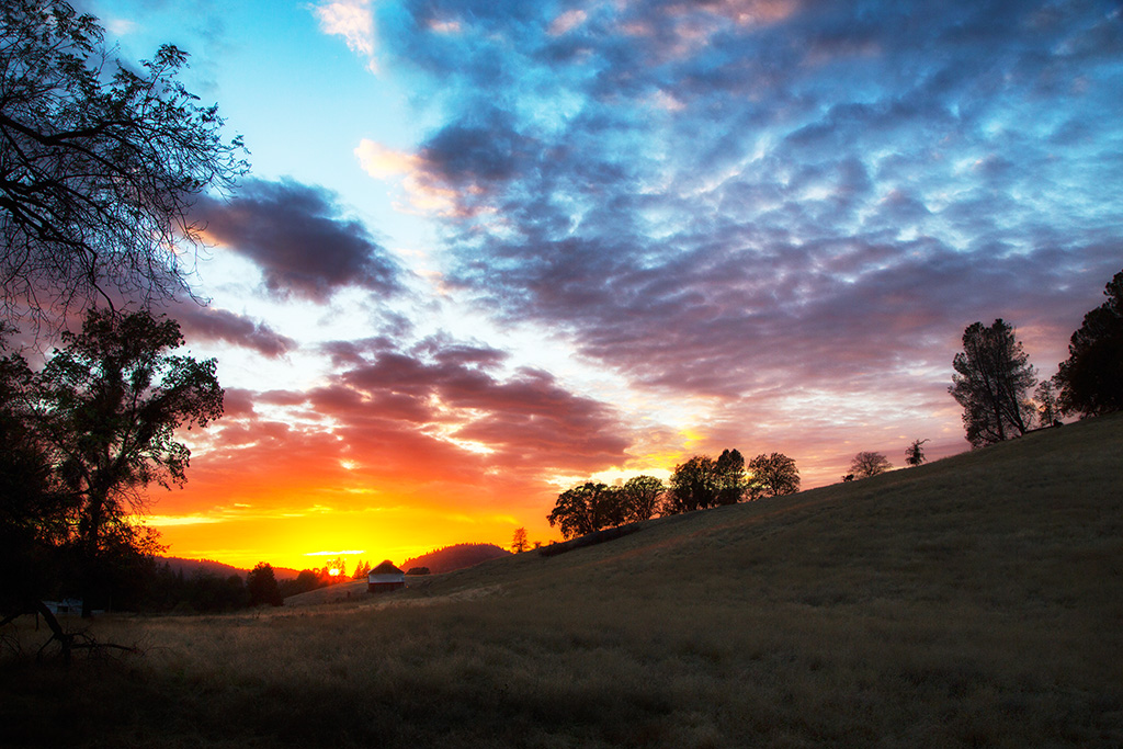
My neighbor's yard
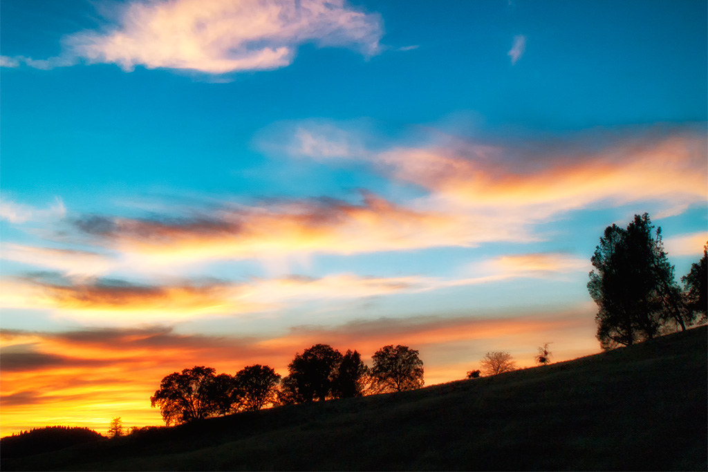
My neighbor's yard
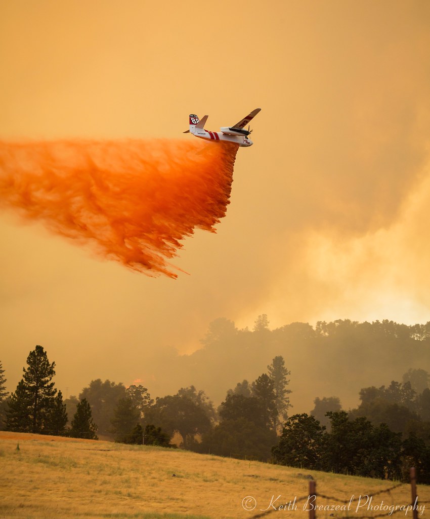
Sand Fire July 2014 © Keith Breazeal-38
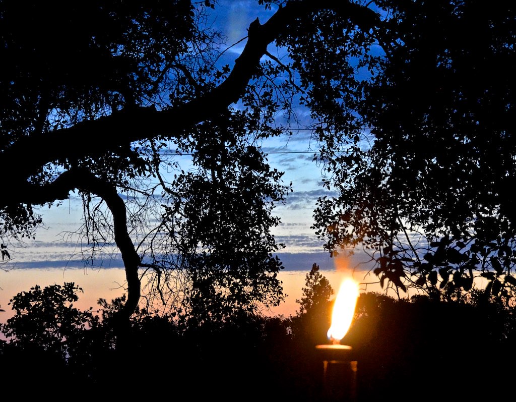
Cowboy Campfire, Dave Stamey, Hopkins, torch, sunset, Red Mule Ranch, Fiddletown,

Happy Valley
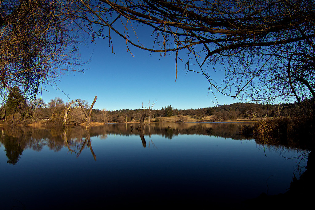
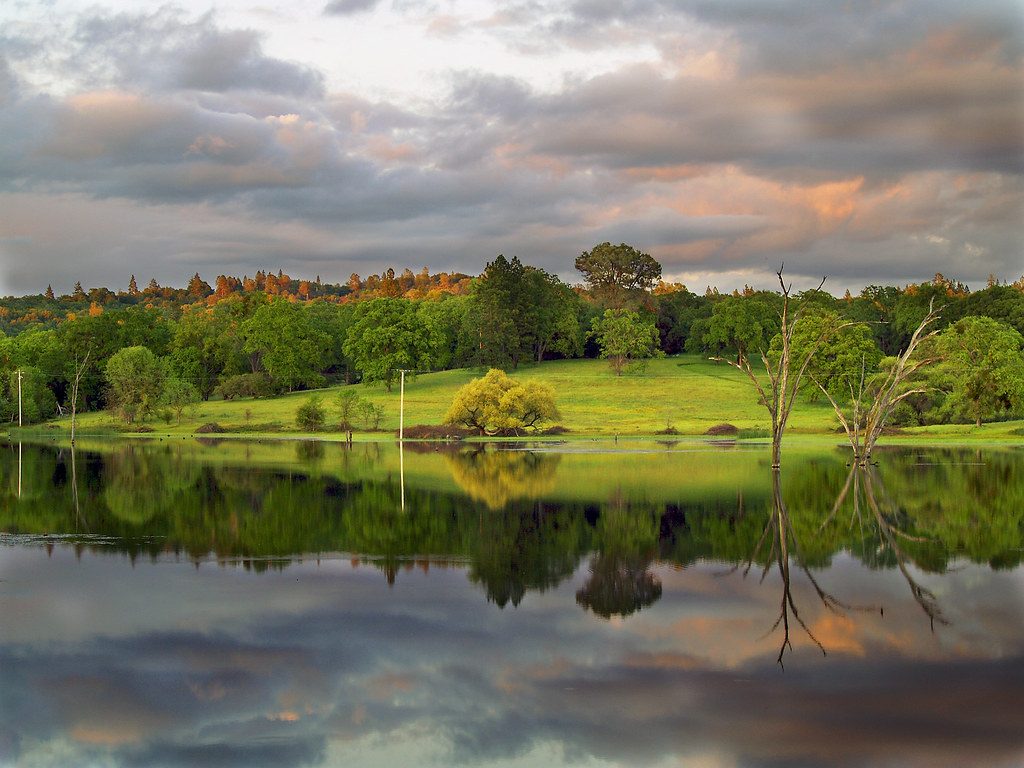
D'Agostini Reservoir
20120209-Sunset at Horseshoe Ranch

20120209-Sunset at Horseshoe Ranch
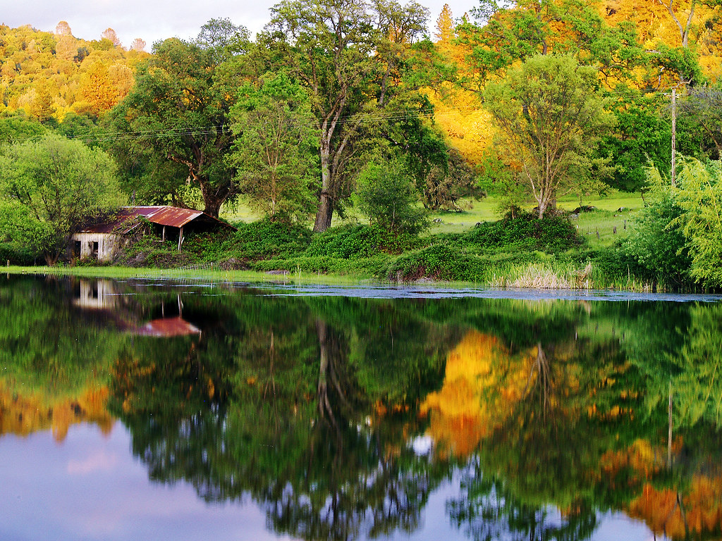
The Shed on the Pond
20120209-Sunset at Horseshoe Ranch
DSCN0348-001
Sunset on the Pond

california sunset
sunset on cake
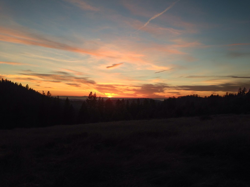
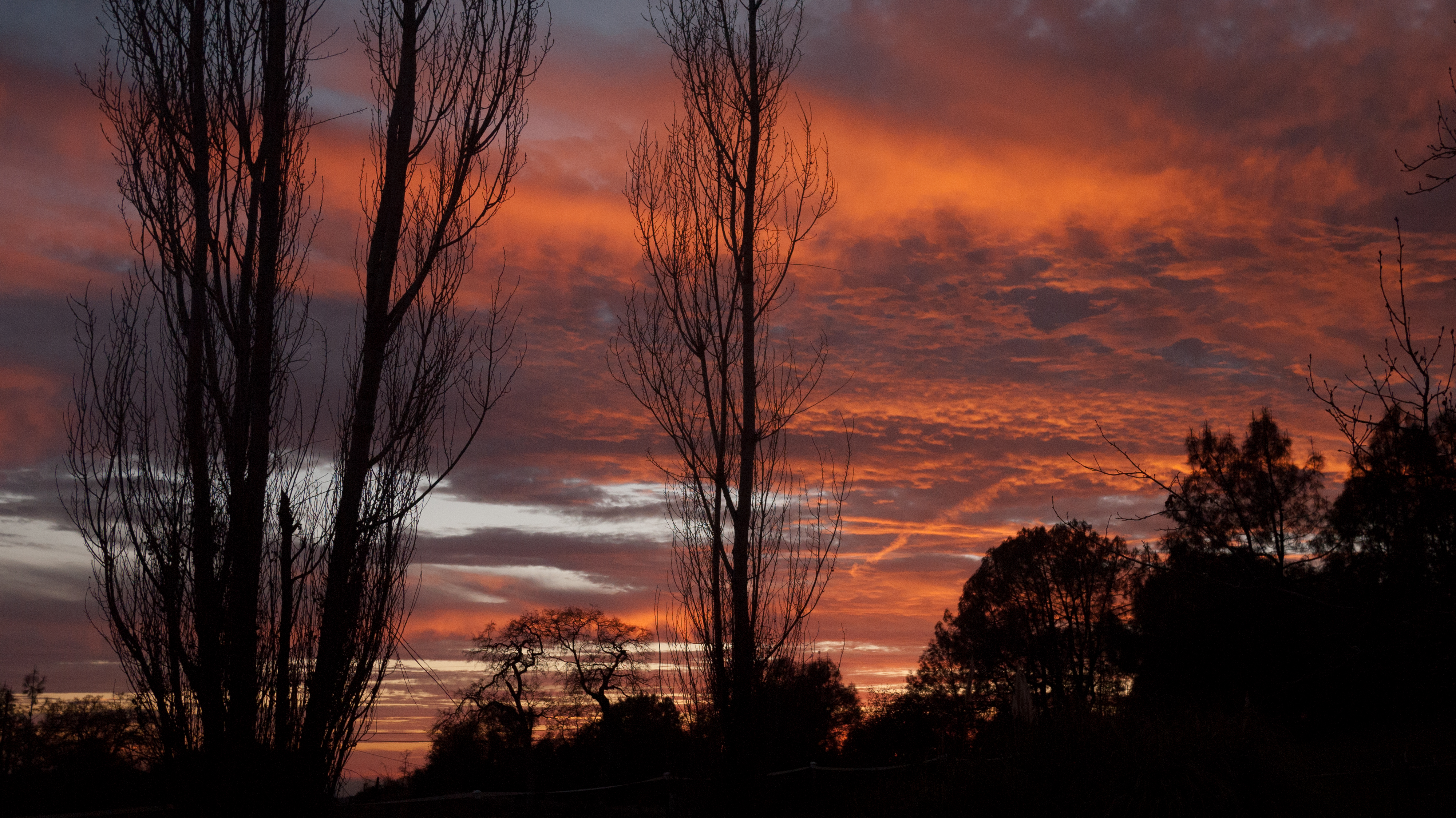
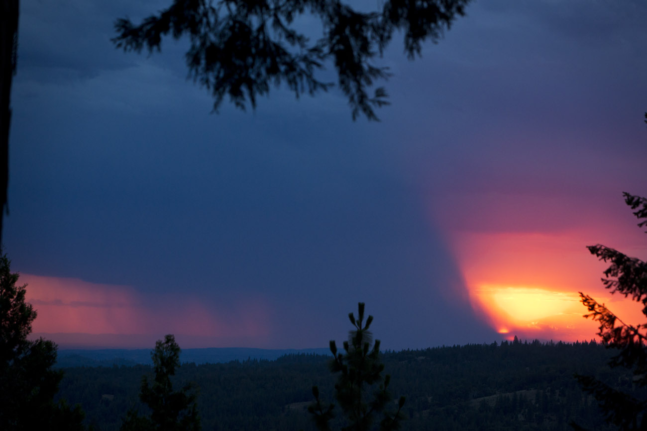
A gorgeous sunset in the hills as we left....
Sacramento deluge
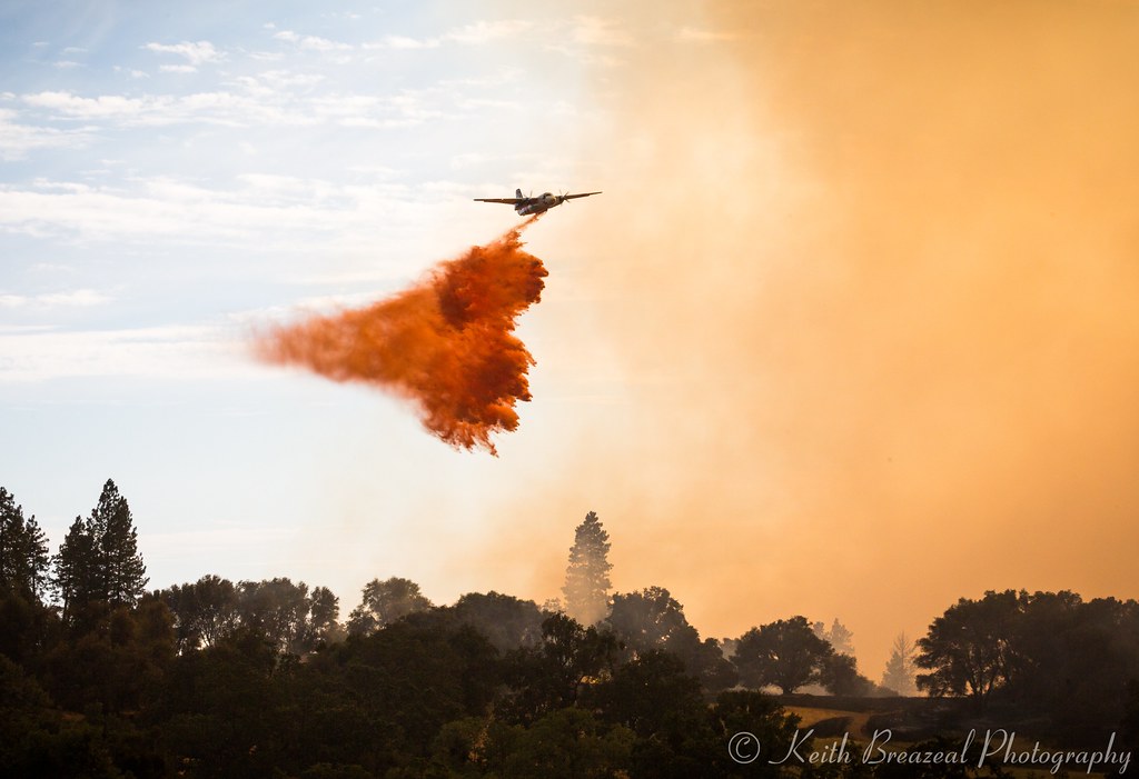
Sand Fire July 2014 © Keith Breazeal-32
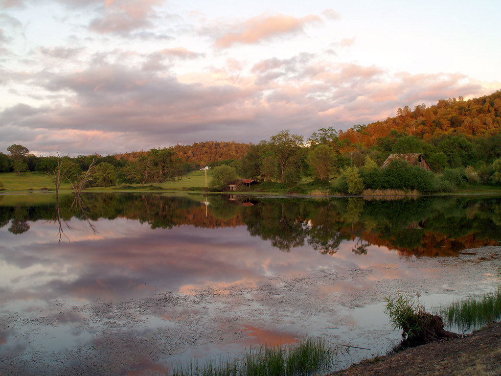
At the End of the Day at the Pond
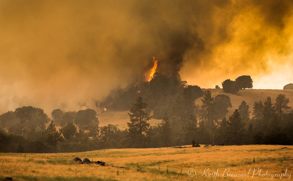
Sand Fire July 2014 © Keith Breazeal-28
Amador winetasting Nov 2012 145
Sand Fire July 2014 © Keith Breazeal-24
RB_05-27-11_033bw1_D'AgostiniRes-Sunrise
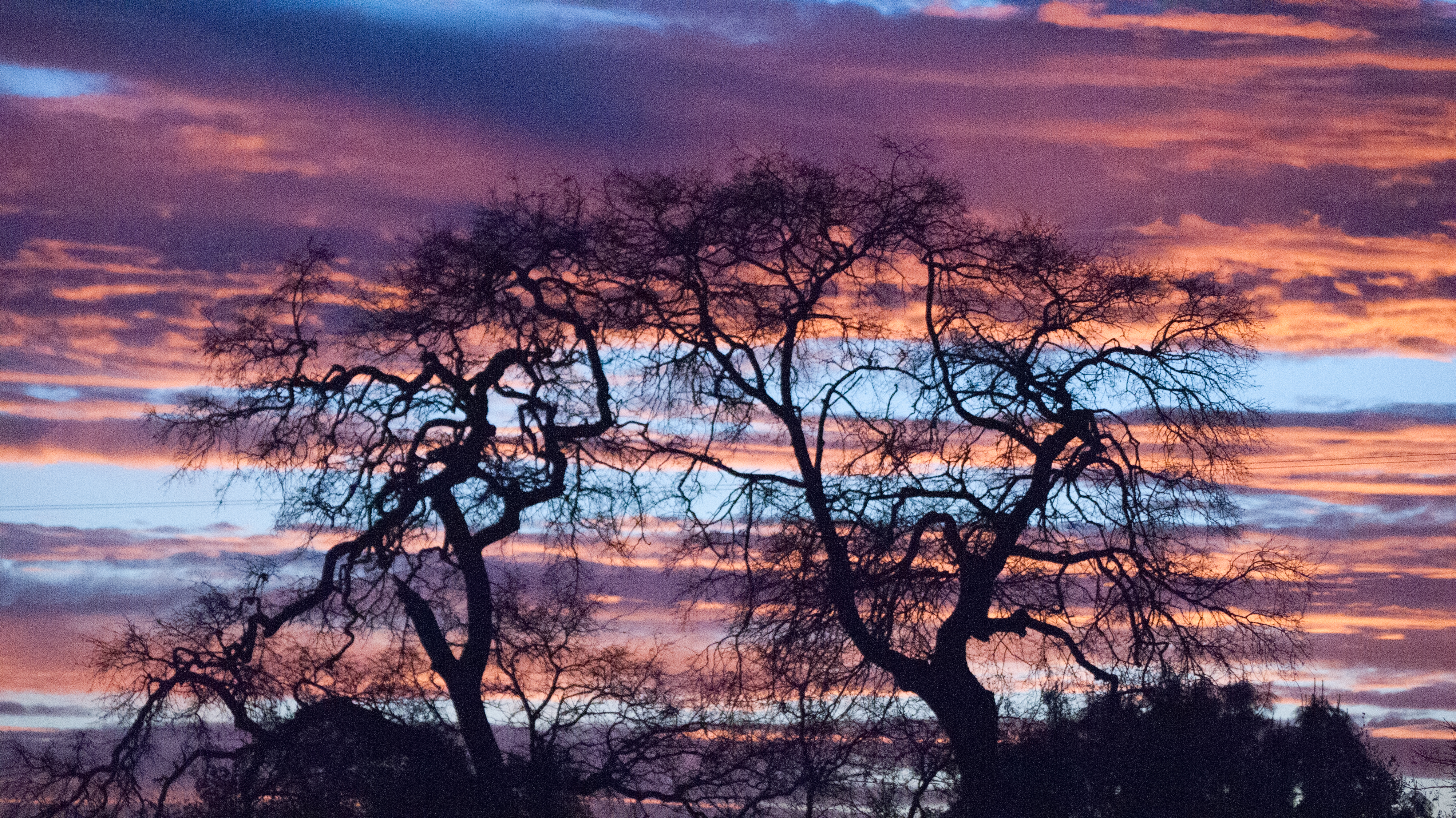
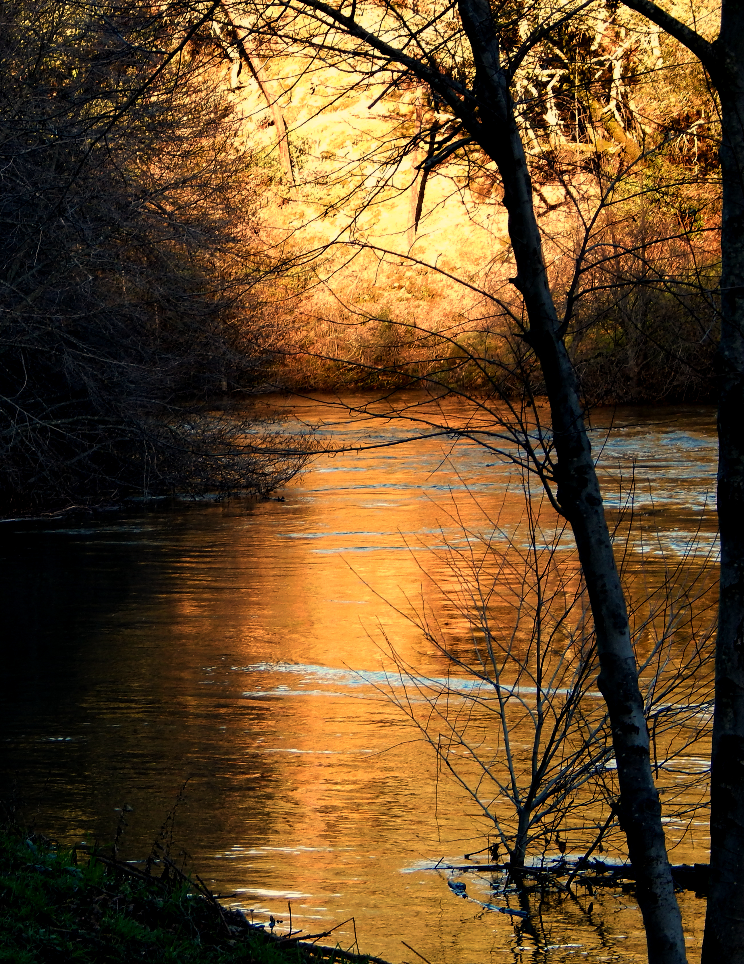
Indian Creek
Magic Mine Rd, Somerset, CA, USA Karte
Suchen Sie einen anderen Ort
Nahe Plätze
Recovery In Action, Tawanka Rd, Somerset, CA, USA
Cedarville Road, Cedarville Rd, California, USA
Omo Ranch Rd, Somerset, CA, USA
Myrick Rd, Somerset, CA, USA
Fair Play, CA, USA
Farnham Ridge Rd, Fiddletown, CA, USA
Mellowood Dr, Somerset, CA, USA
Omo Ranch Rd, Somerset, CA, USA
Slug Gulch Rd, Somerset, CA, USA
Hollis Ln, Fiddletown, CA, USA
Bridgeport School Rd, Fiddletown, CA, USA
Corral Trail Rd, Somerset, CA, USA
Raphael Ridge Road, Raphael Ridge Rd, Somerset, CA, USA
Omo Ranch Rd, Somerset, CA, USA
Perry Creek Road, Perry Creek Rd, Somerset, CA, USA
Vineyard View Dr, Somerset, CA, USA
Kirk Ln, Somerset, CA, USA
Loggers Hollow Rd, Somerset, CA, USA
Round Mountain, California, USA
Slug Gulch Rd, Somerset, CA, USA
Letzte Suche
- Jialuohu, Datong Township, Yilan County, Taiwan Sonnenaufgang Sonnenuntergang Zeiten
- 大下港, Sekizenoge, Imabari, Präfektur Ehime -, Japan Sonnenaufgang Sonnenuntergang Zeiten
- Oge port Ferry Terminal, -1 Sekizenōge, Imabari, Ehime -, Japan Sonnenaufgang Sonnenuntergang Zeiten
- San Telmo, Autonomen Stadt Buenos Aires, Argentinien Sonnenaufgang Sonnenuntergang Zeiten
- Congressional Dr, Stevensville, MD, USA Sonnenaufgang Sonnenuntergang Zeiten
- Papingo 04, Griechenland Sonnenaufgang Sonnenuntergang Zeiten
- Pagonija rock, Kranto 7-oji g. 8"N, Kaunas, Litauen Sonnenaufgang Sonnenuntergang Zeiten
- Co Rd 87, Jamestown, CO, USA Sonnenaufgang Sonnenuntergang Zeiten
- Tenjo, Cundinamarca, Colombia Sonnenaufgang Sonnenuntergang Zeiten
- -1 Gosho, Ichihara, Chiba -, Japan Sonnenaufgang Sonnenuntergang Zeiten